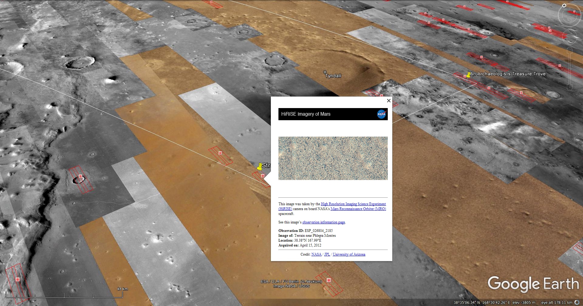
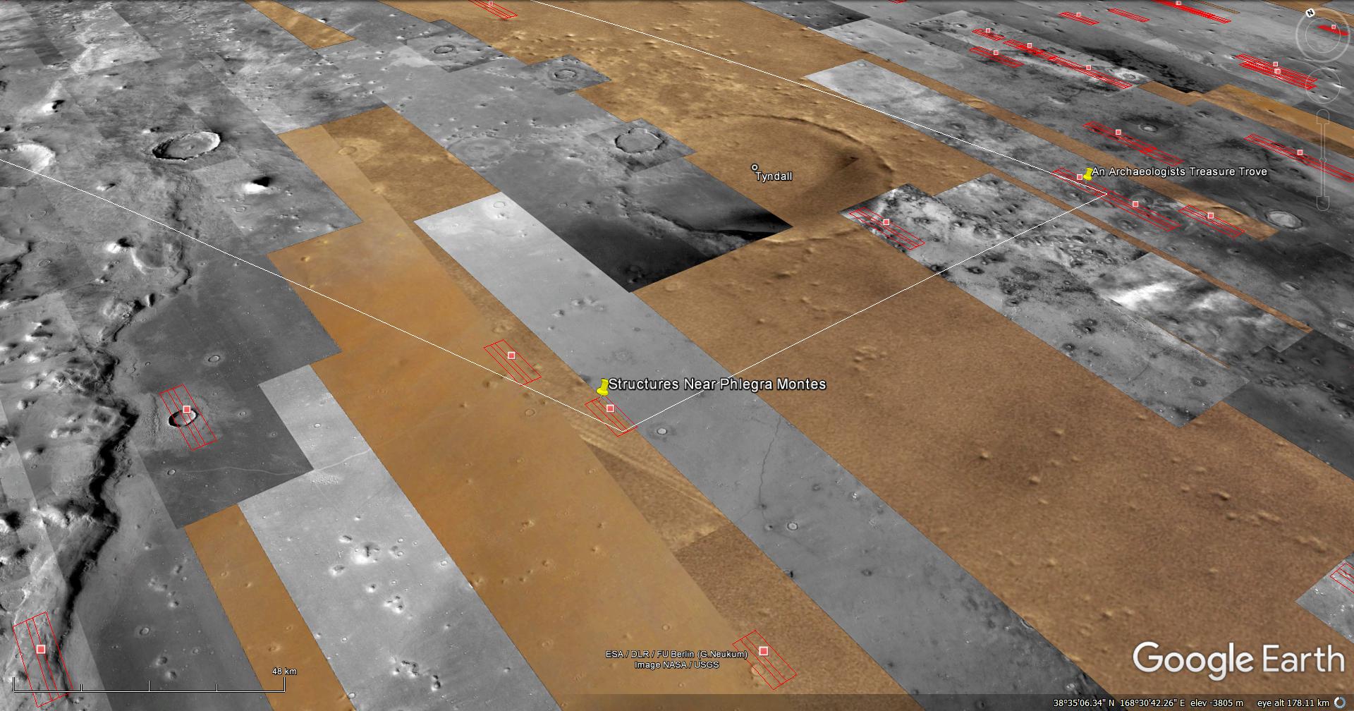
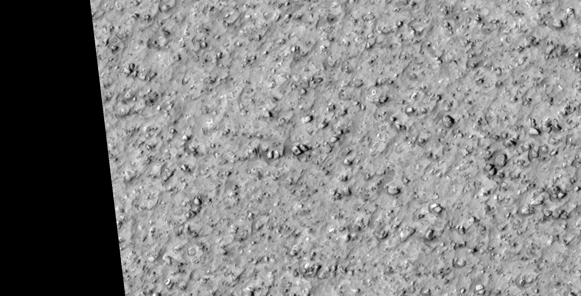
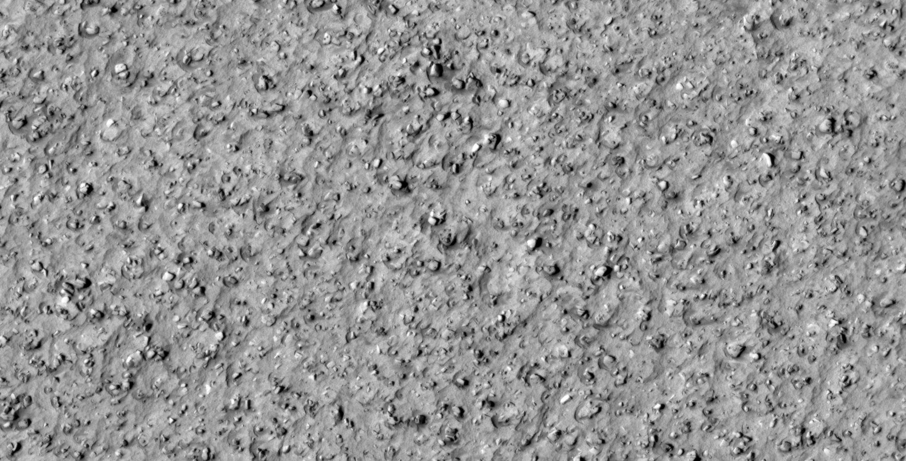
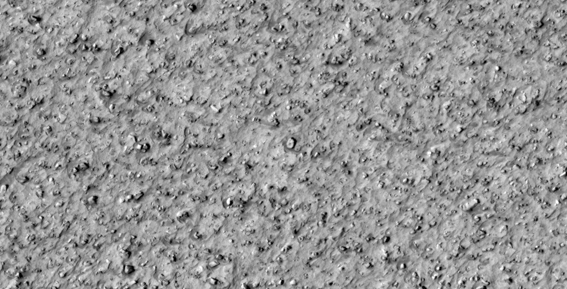
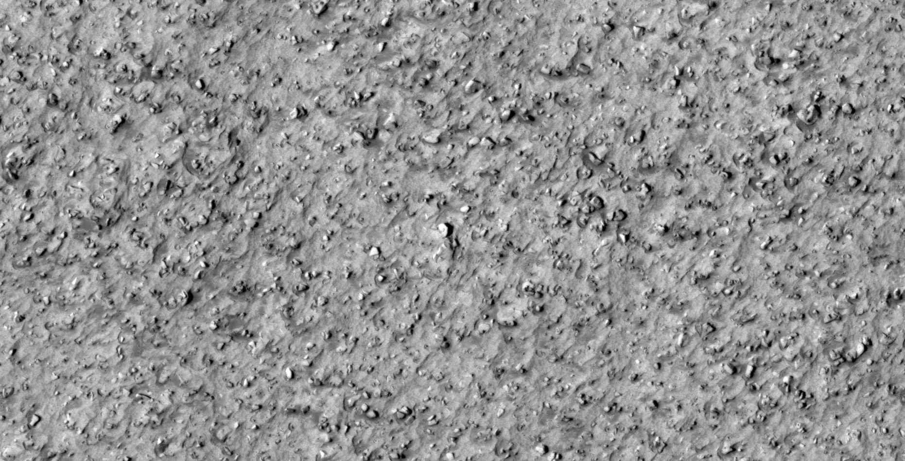
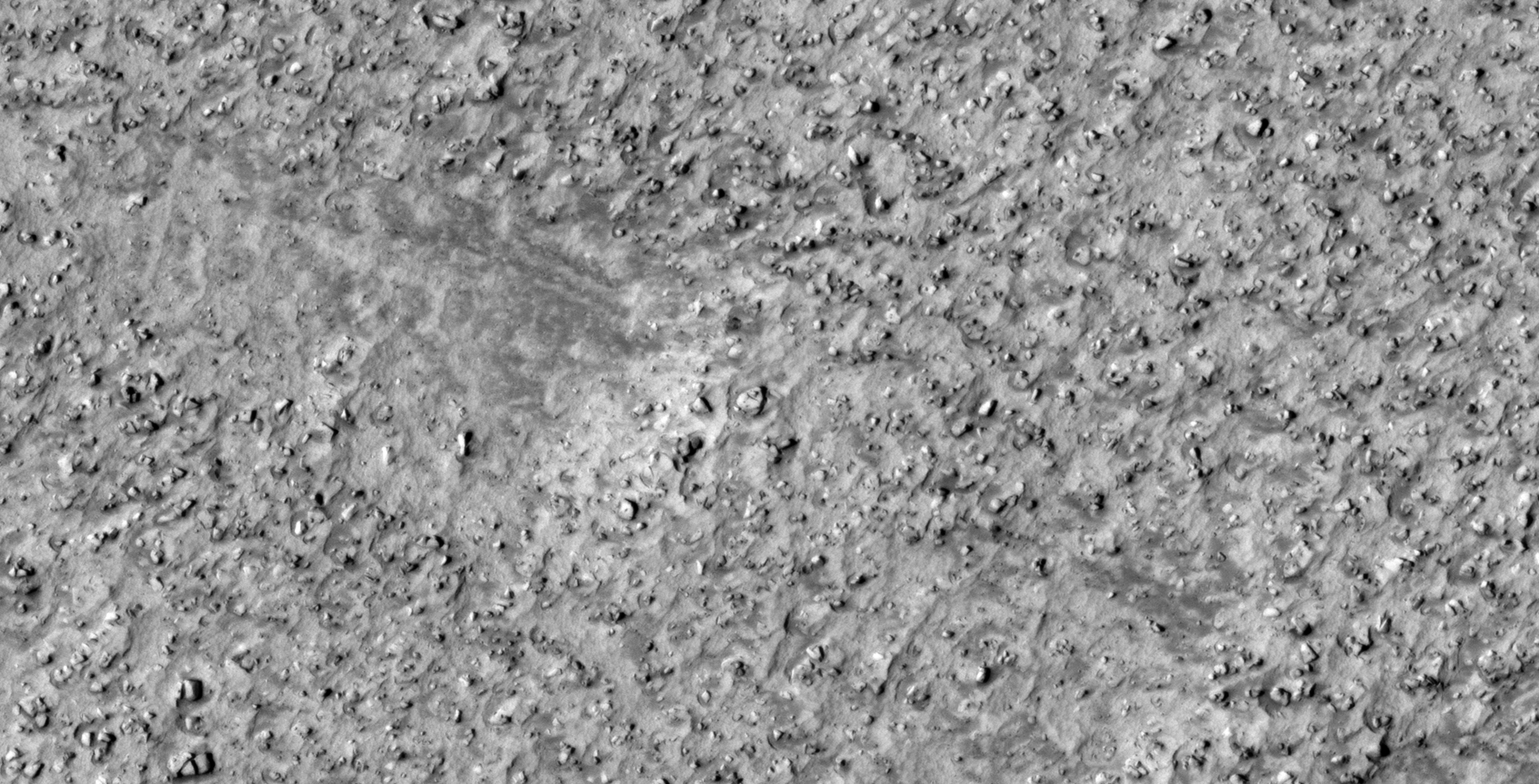
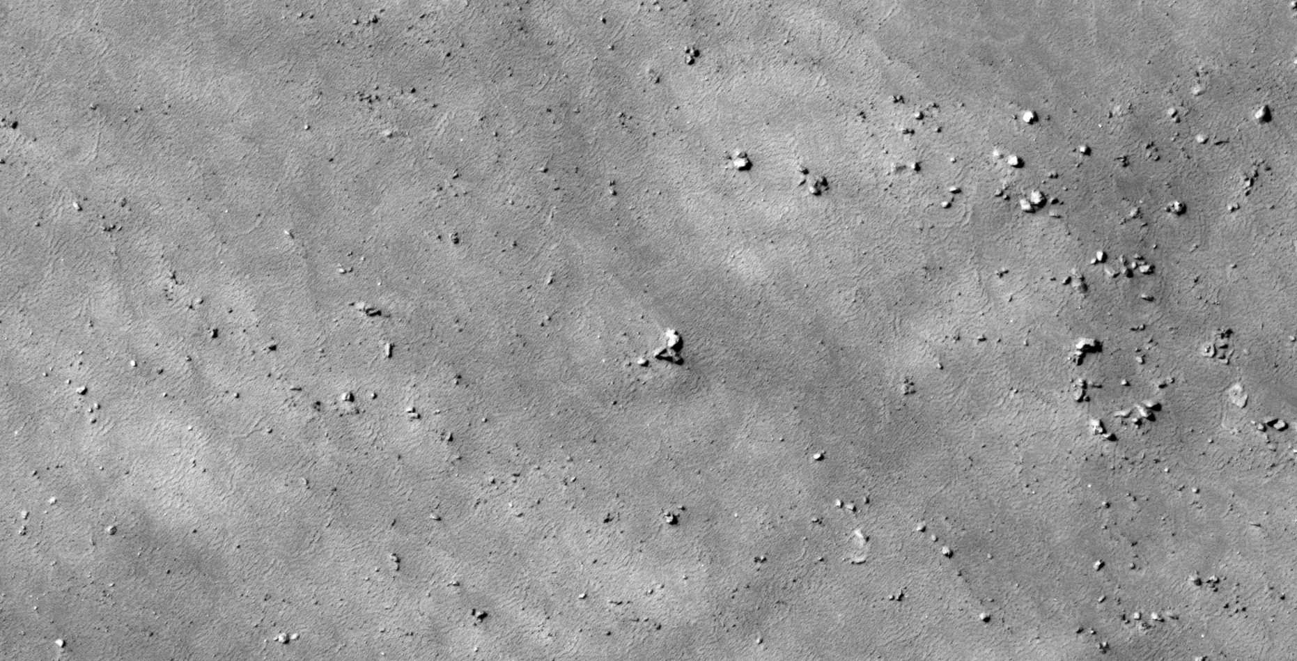
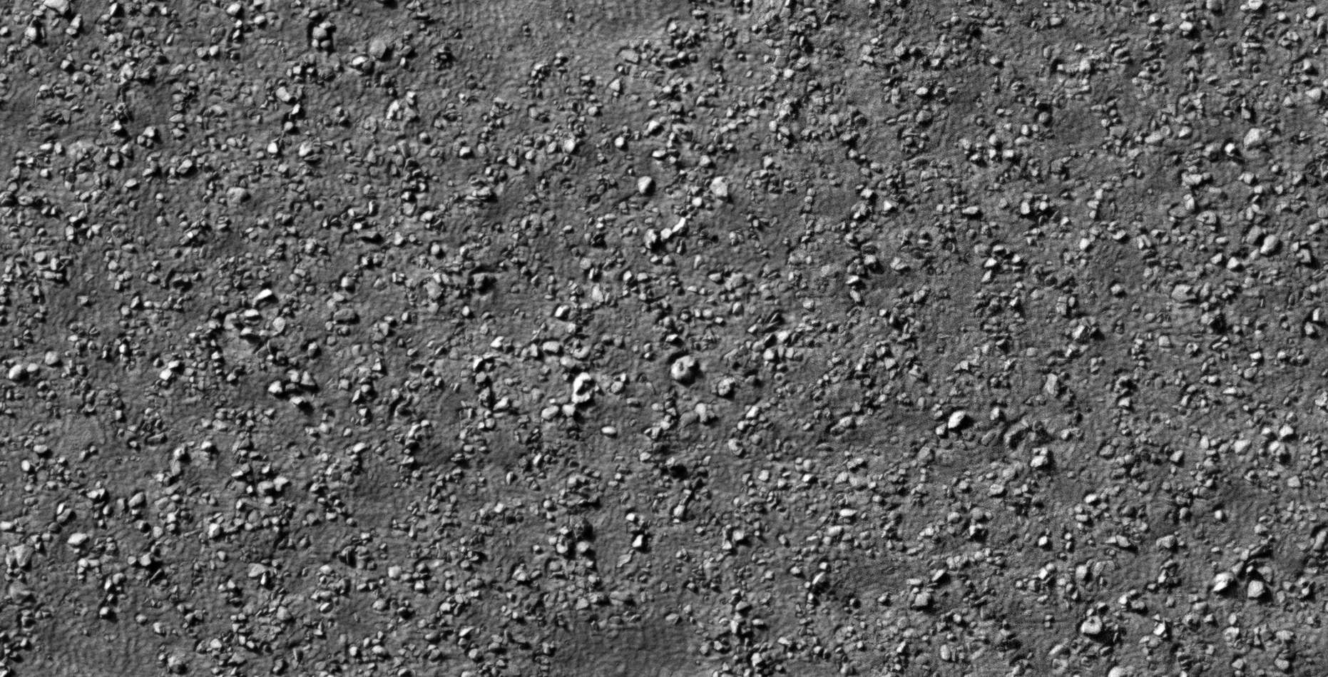
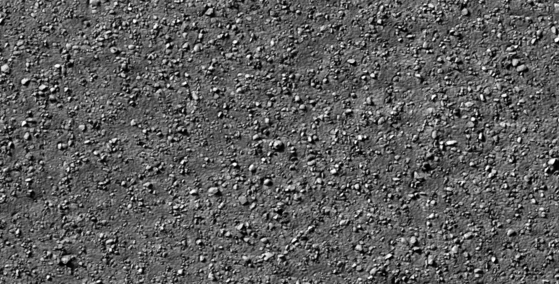
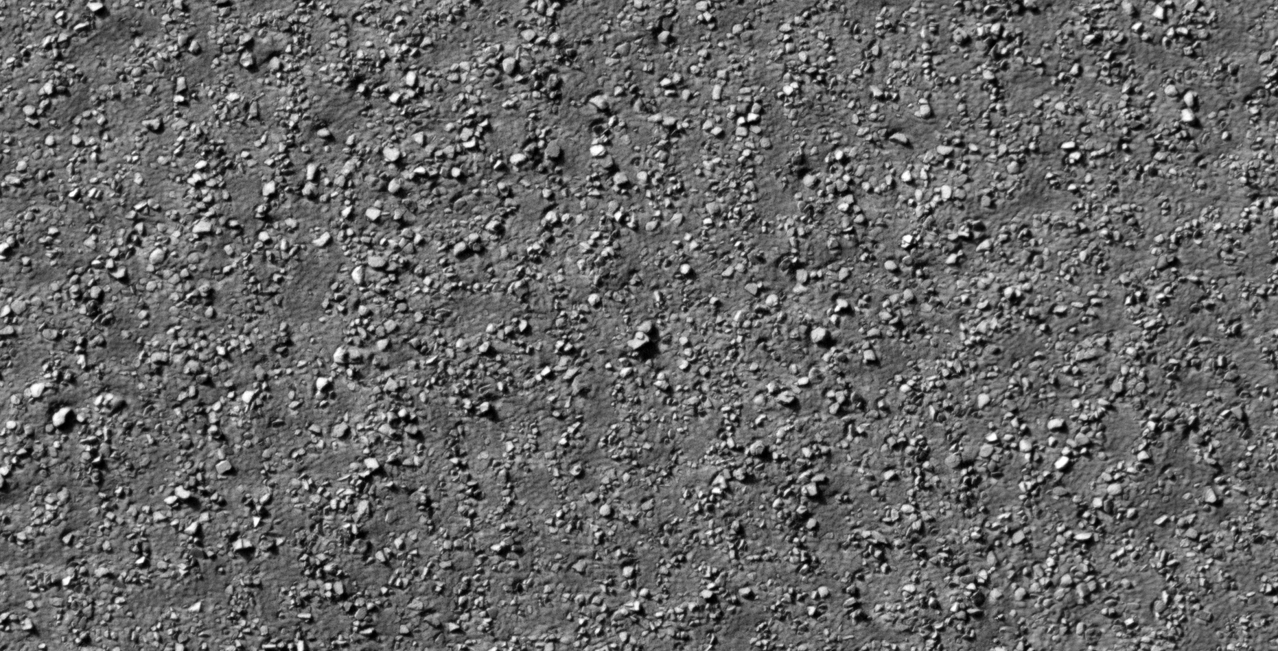
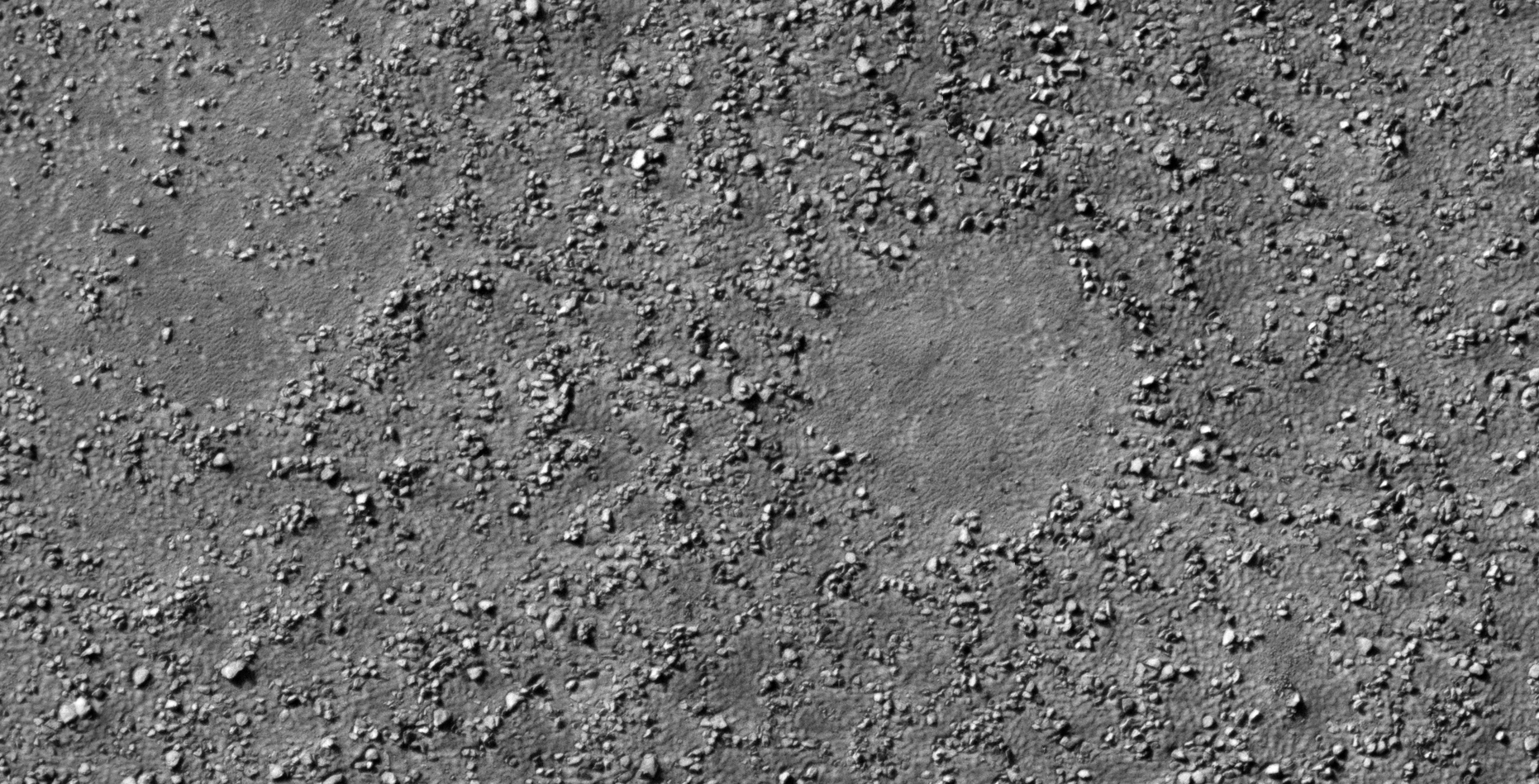
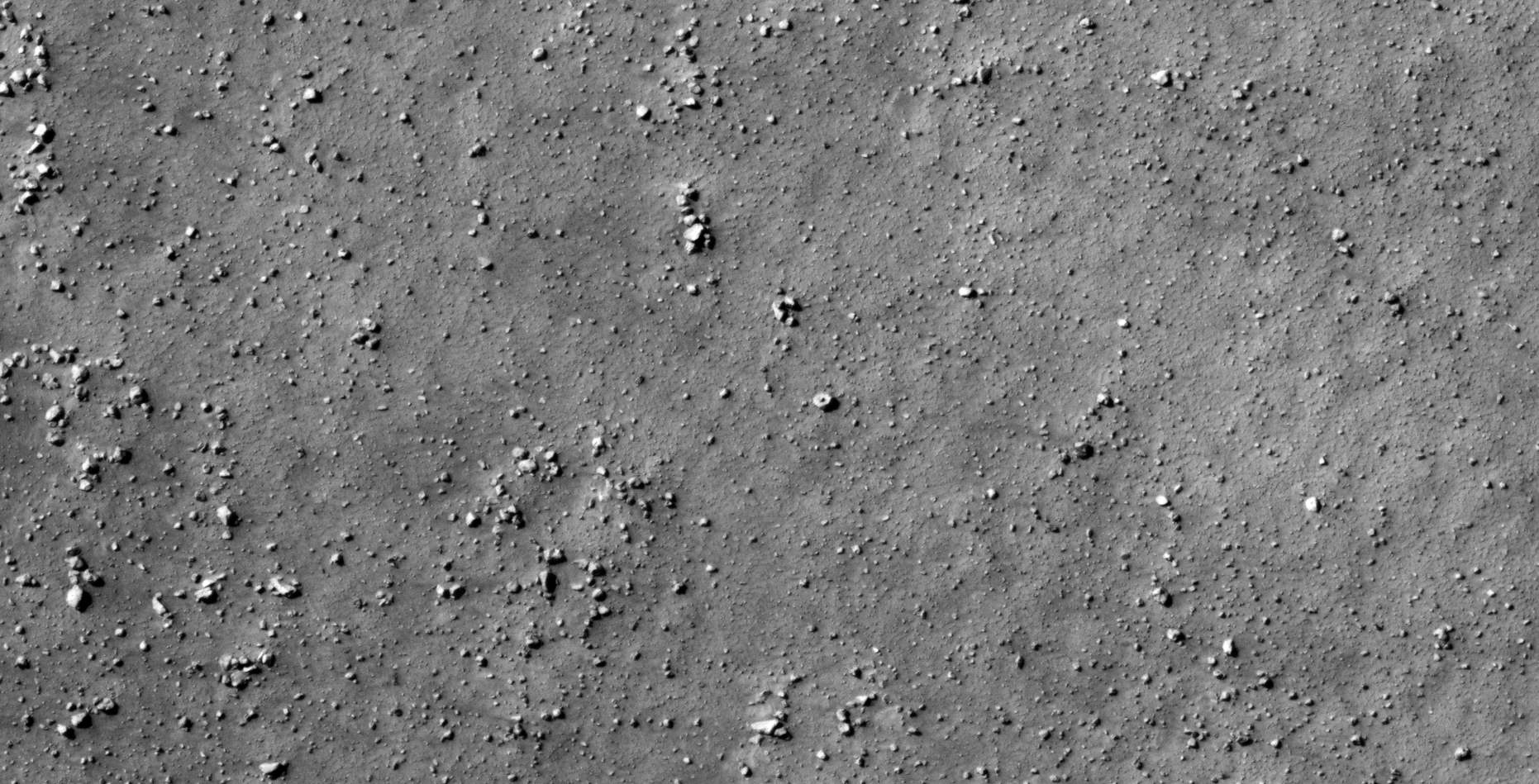
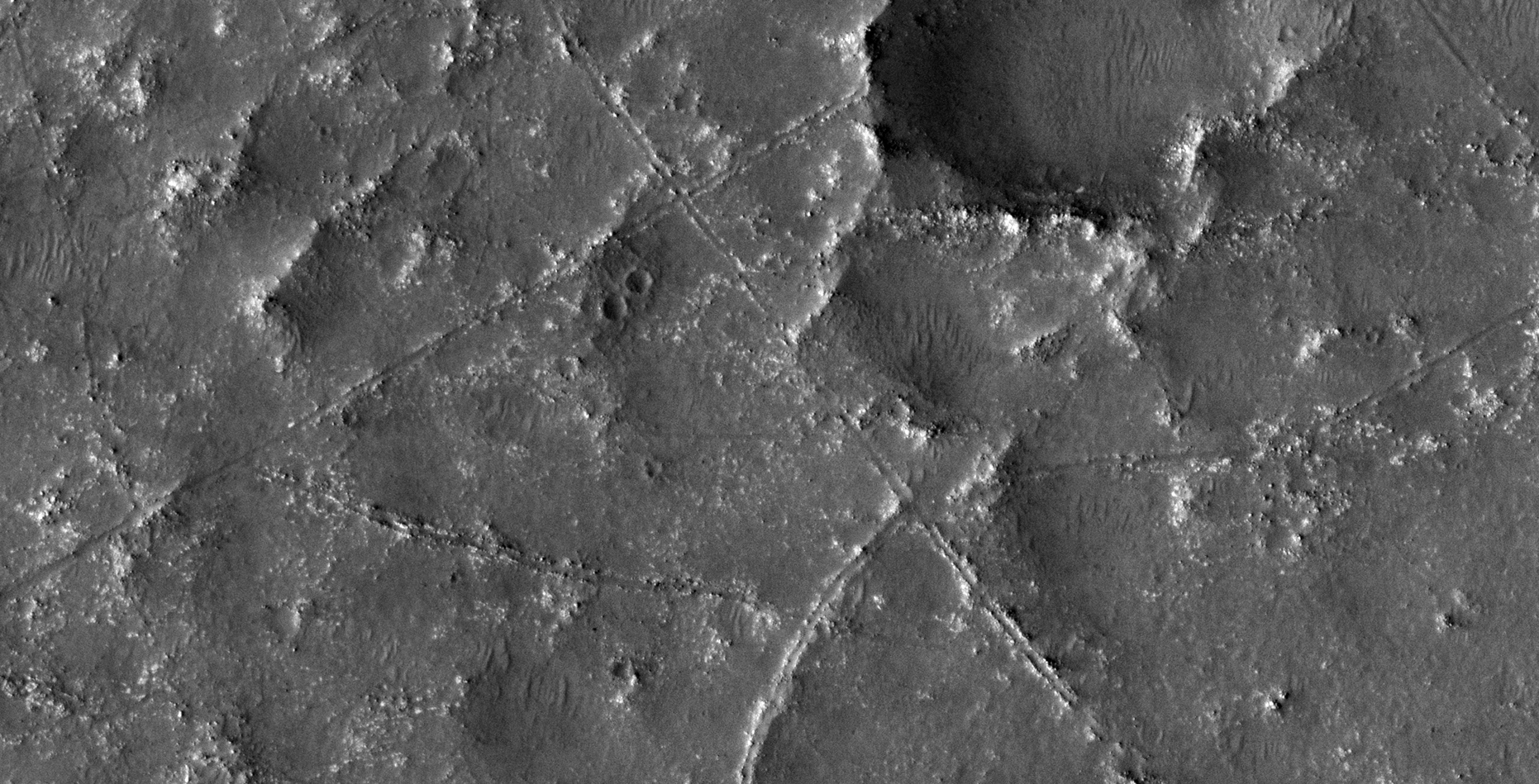
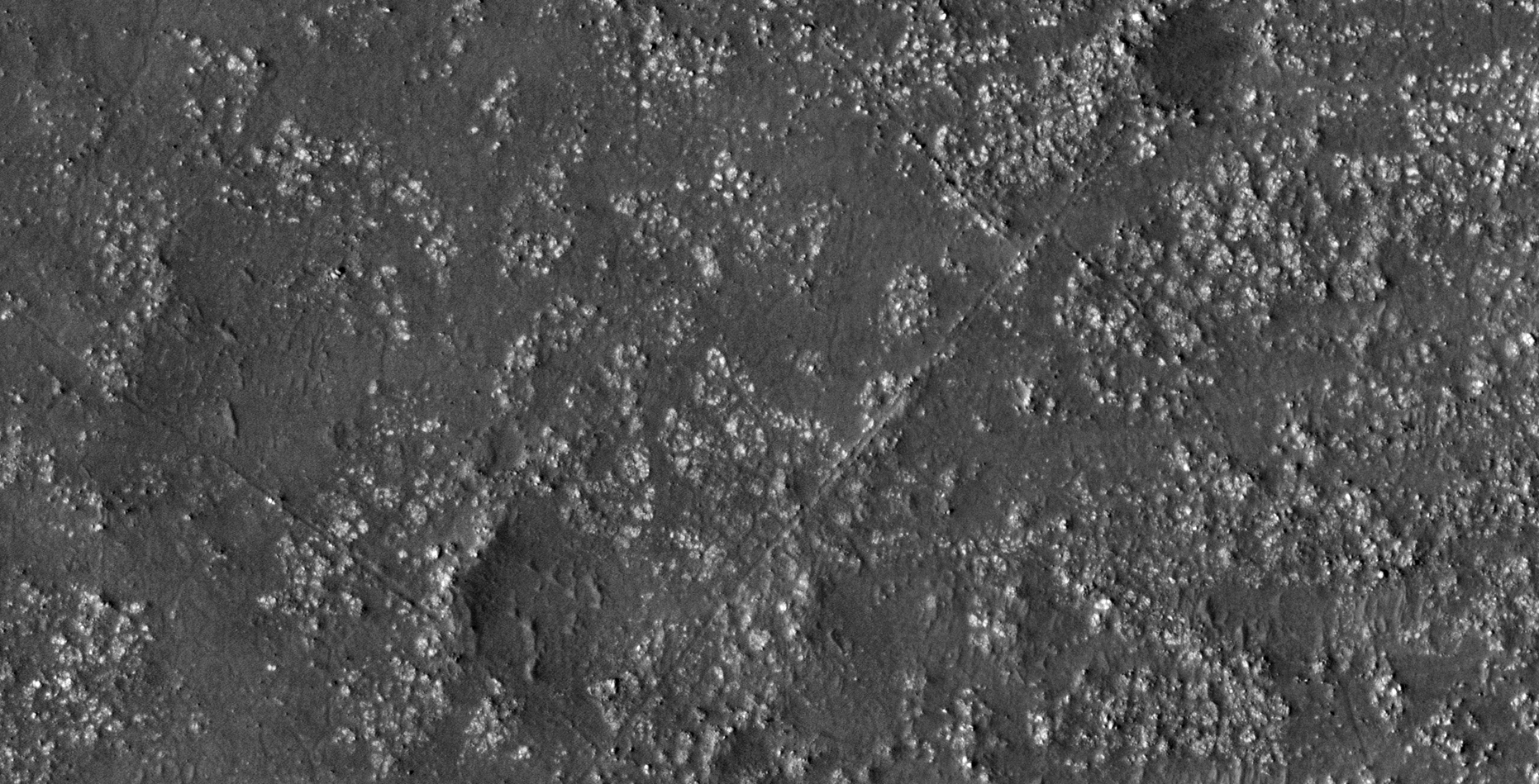
The photograph analyzed here (ESP_026804_2185) was taken by NASA’s Mars Reconnaissance Orbiter on 15 April 2012 and is described as ‘Terrain Near Phlegra Montes’
Another terrain covered in megalithic anomalies, perhaps what may be ancient structures or ruins.
There’s also a very long narrow object that looks totally out of place.
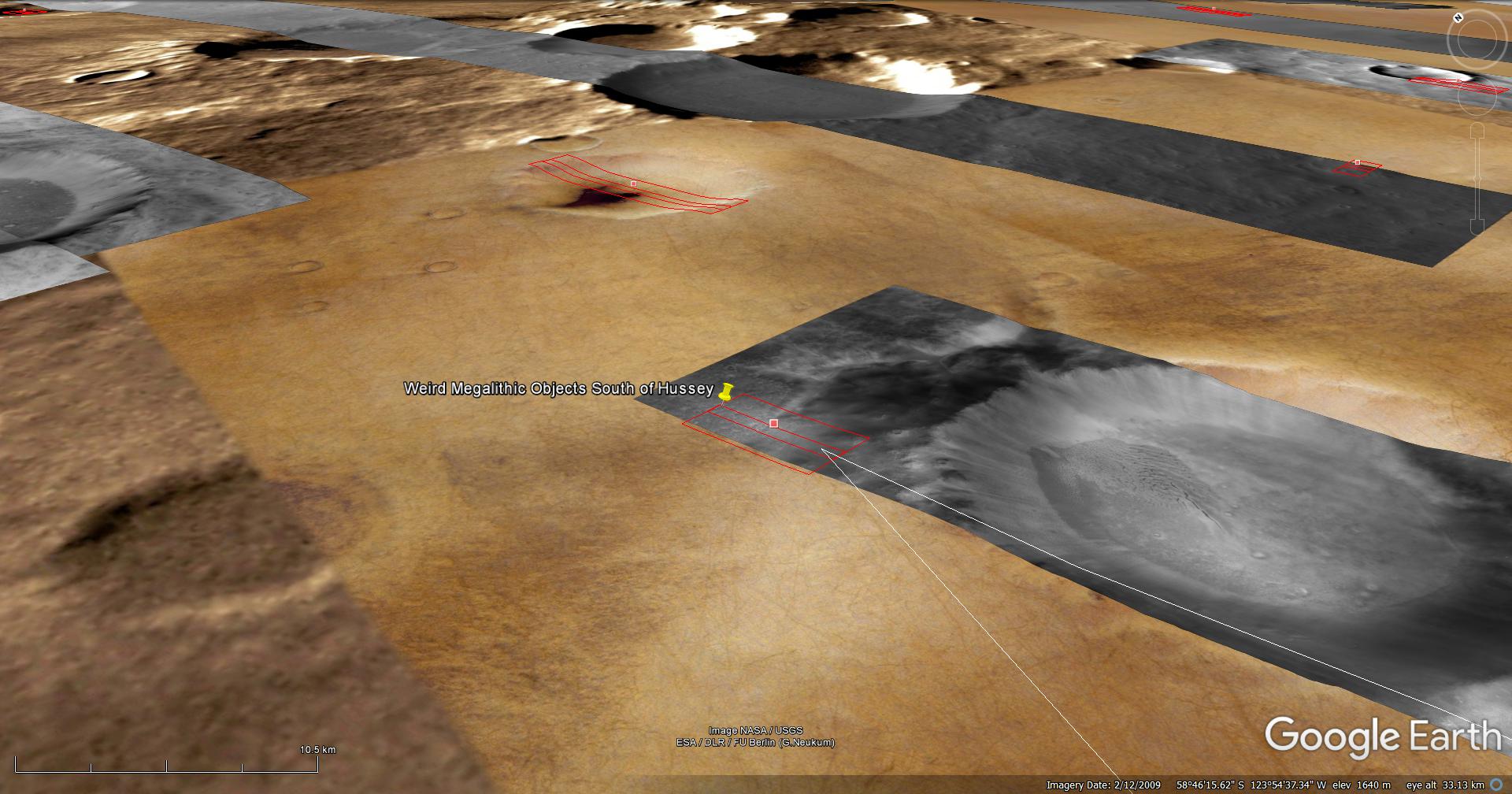
An elevated view of this site being analyzed (click for larger image)An elevated view of this site being analyzed (click for larger image)(click for larger image)(click for larger image)(click for larger image)(click for larger image)(click for larger image)(click for larger image)(click for larger image)(click for larger image)(click for larger image)(click for larger image)(click for larger image)(click for larger image)(click for larger image)(click for larger image)(click for larger image)(click for larger image)(click for larger image)(click for larger image)(click for larger image)(click for larger image)(click for larger image)(click for larger image)(click for larger image)(click for larger image)(click for larger image)(click for larger image)
Images saved from within HiView or CTX viewer do not include image scale indicators. The image scale indicators I include in images are based on the official resolutions provided by NASA and although I strive to be as accurate as possible there may be slight deviations from the actual scale. Image scale indicators are included as a size approximation tool only.
Geometry lines are mapped as accurately as possible using the limited information, data and mapping tools available at the time, therefore the lines may deviate from target sites by a few kilometres. Revisions may be made in the future as new, more precise information, data and mapping tools become available.
Many or all of the anomalies/artefacts covered in this presentation may be naturally occurring geological features caused by some type of geological processes, however due to the lack of specific information from the source we can only speculate whether these are all natural or some artificial in nature.
In cases where I say an anomaly looks like something I’m attempting to clarify what I see and not specifically that the anomaly is what I say it looks like.
My intention is only to share anomalies I’ve discovered on Mars and not to convince anyone that there is or was a civilization on Mars.
As Will Farrar from WhatsUpInTheSky says: “I see what I see, you see what you see.”
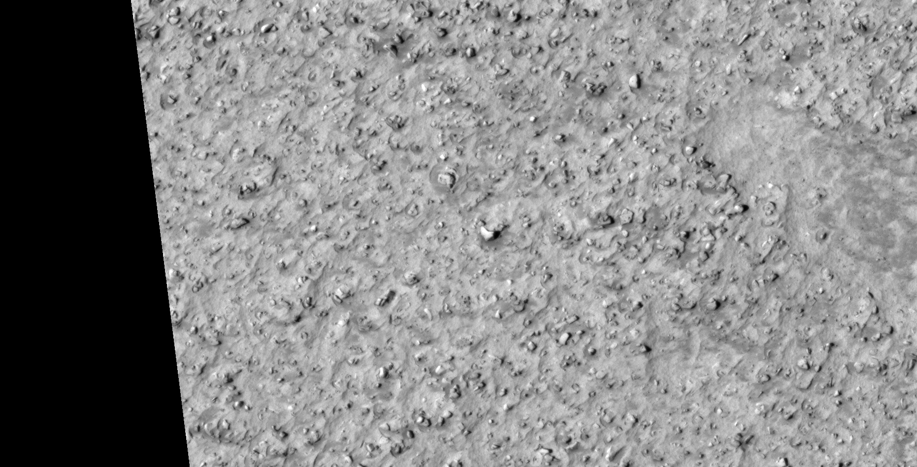
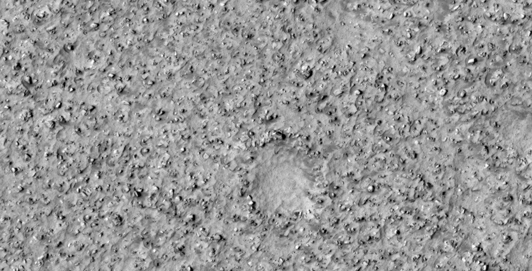
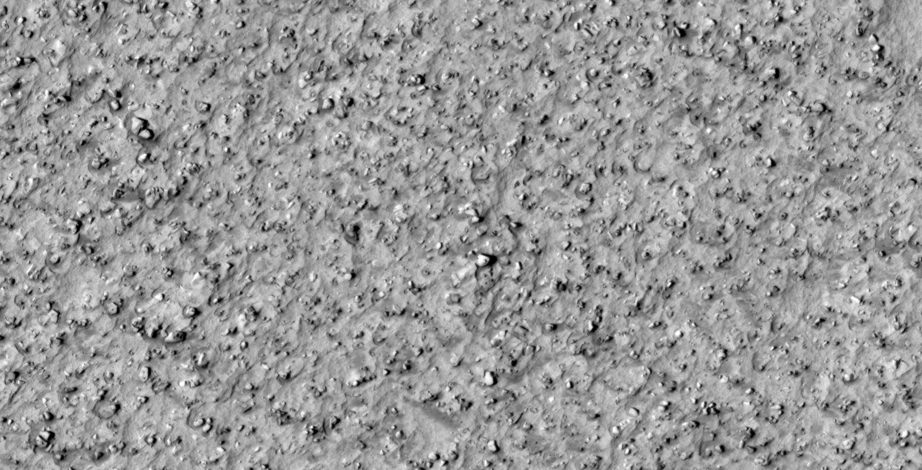
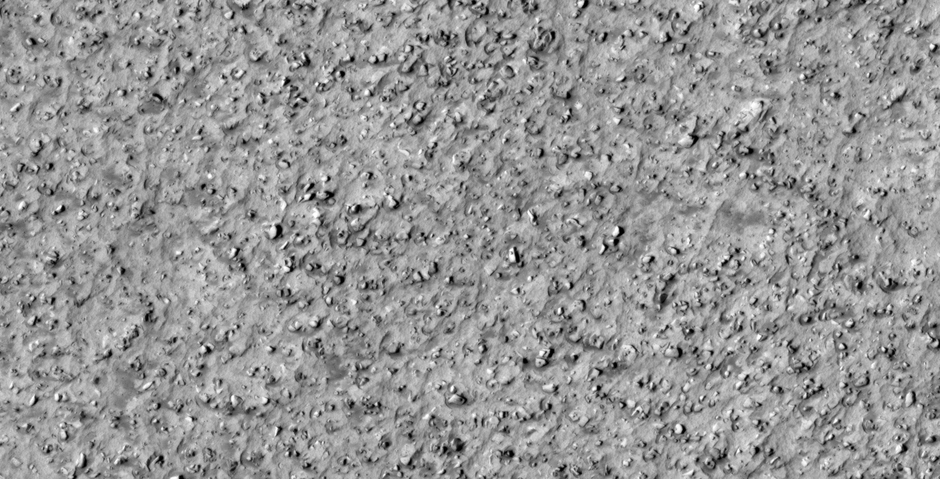
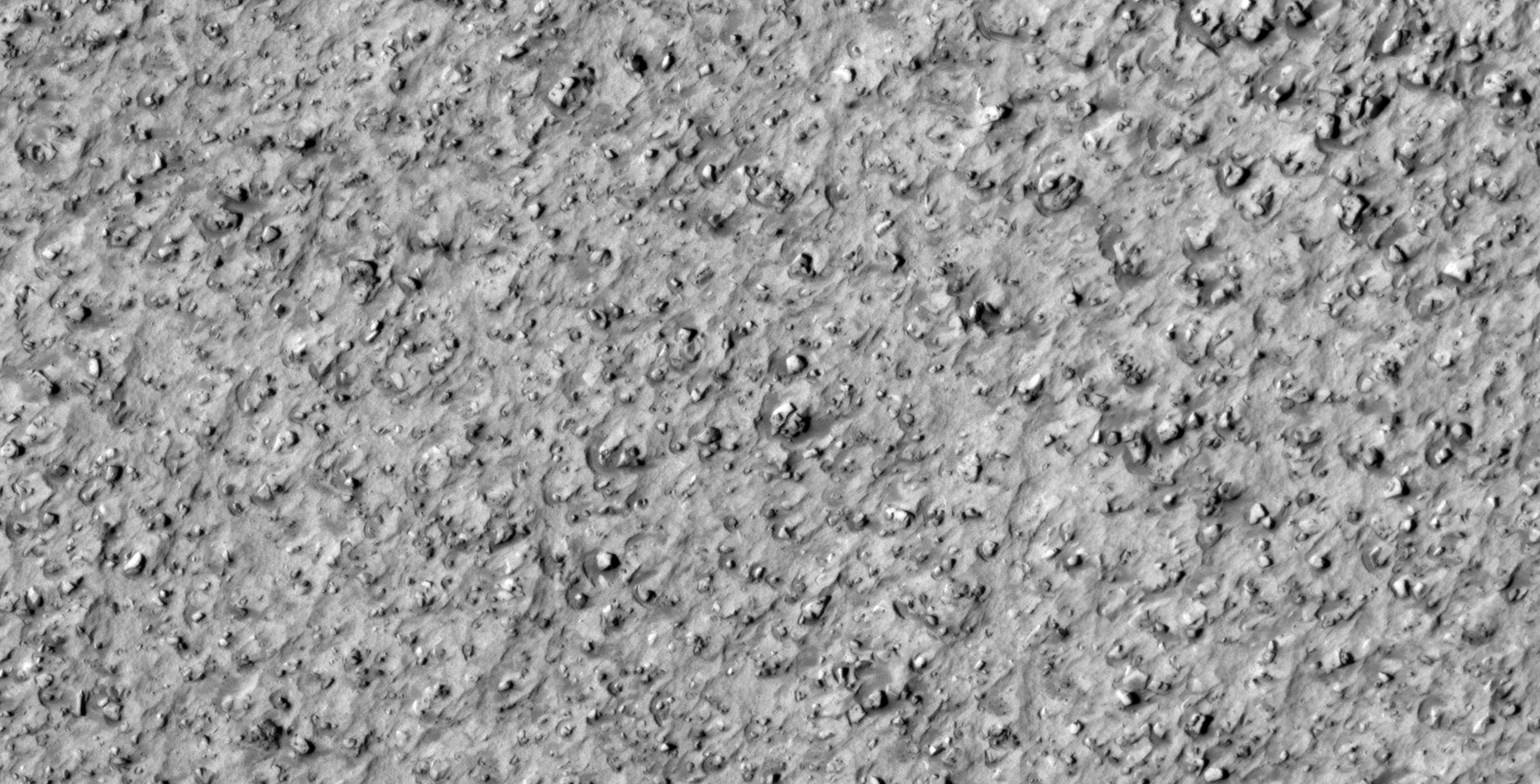
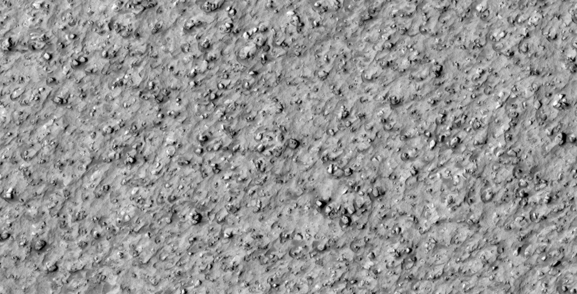
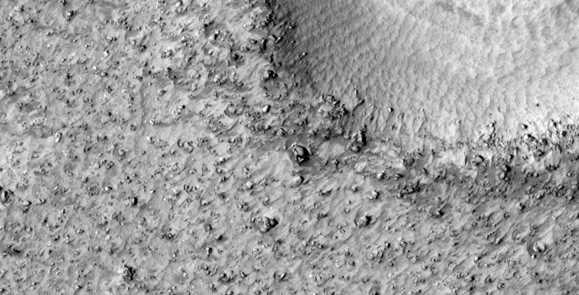
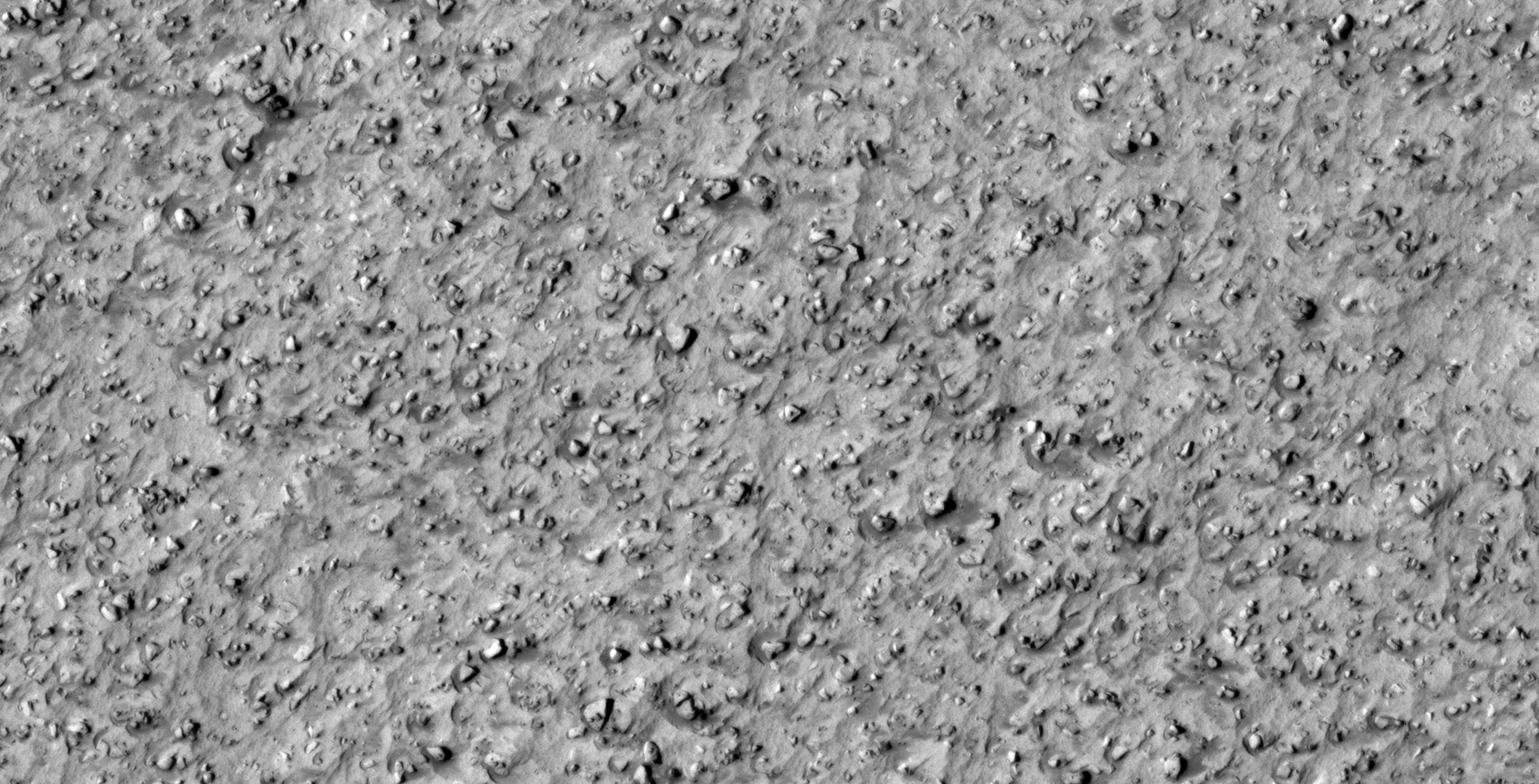
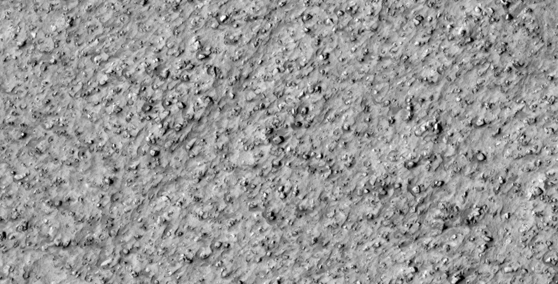
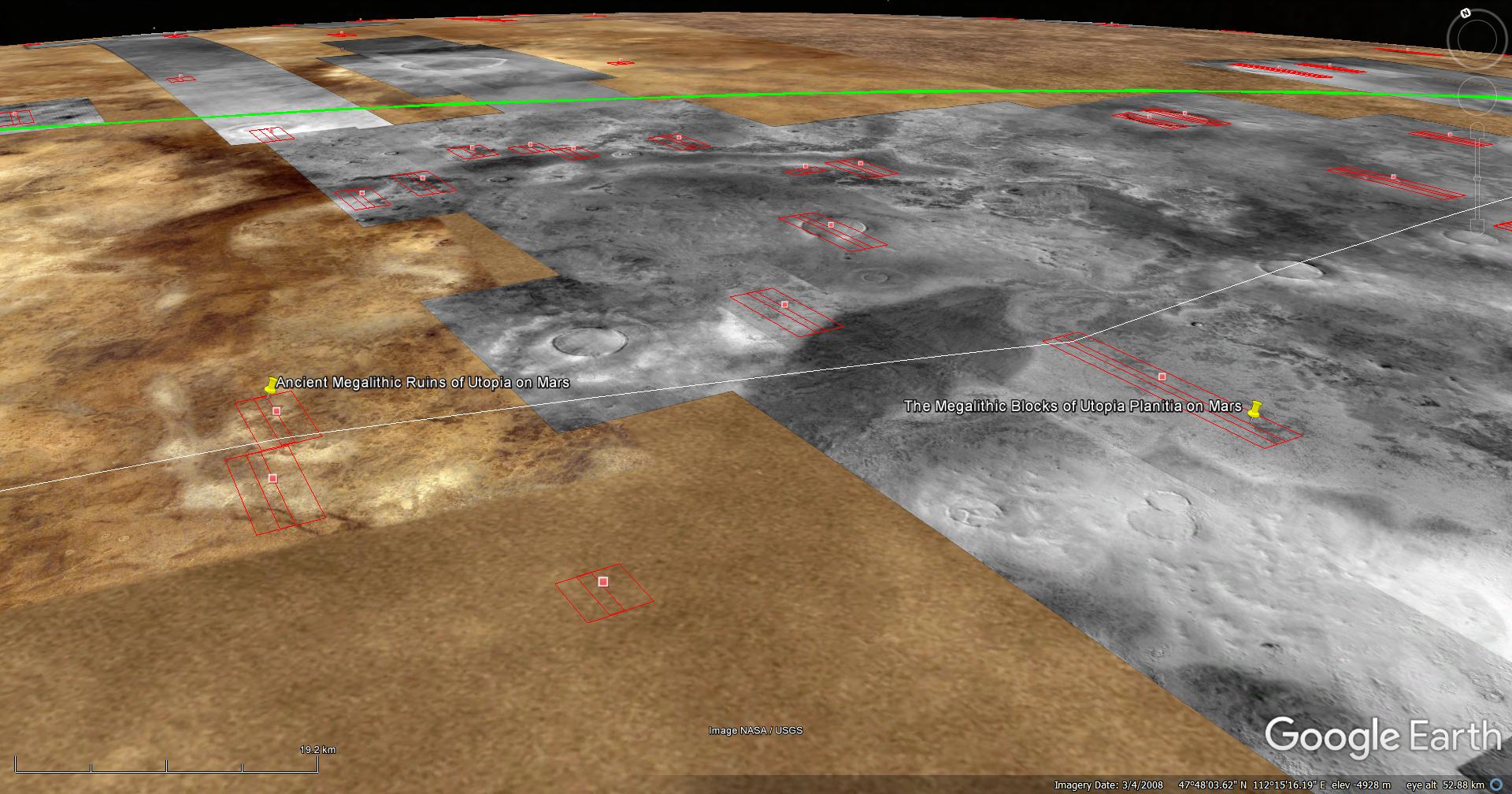
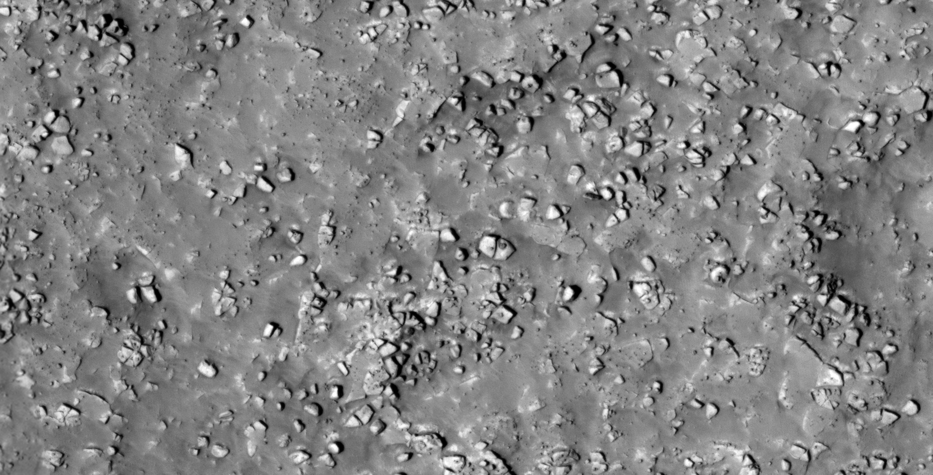
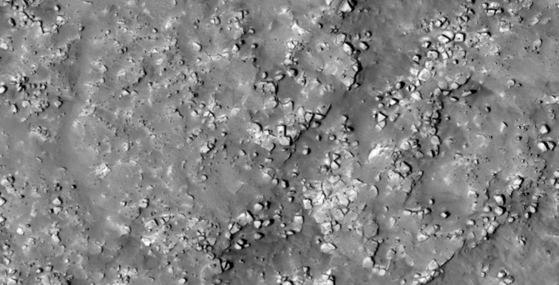
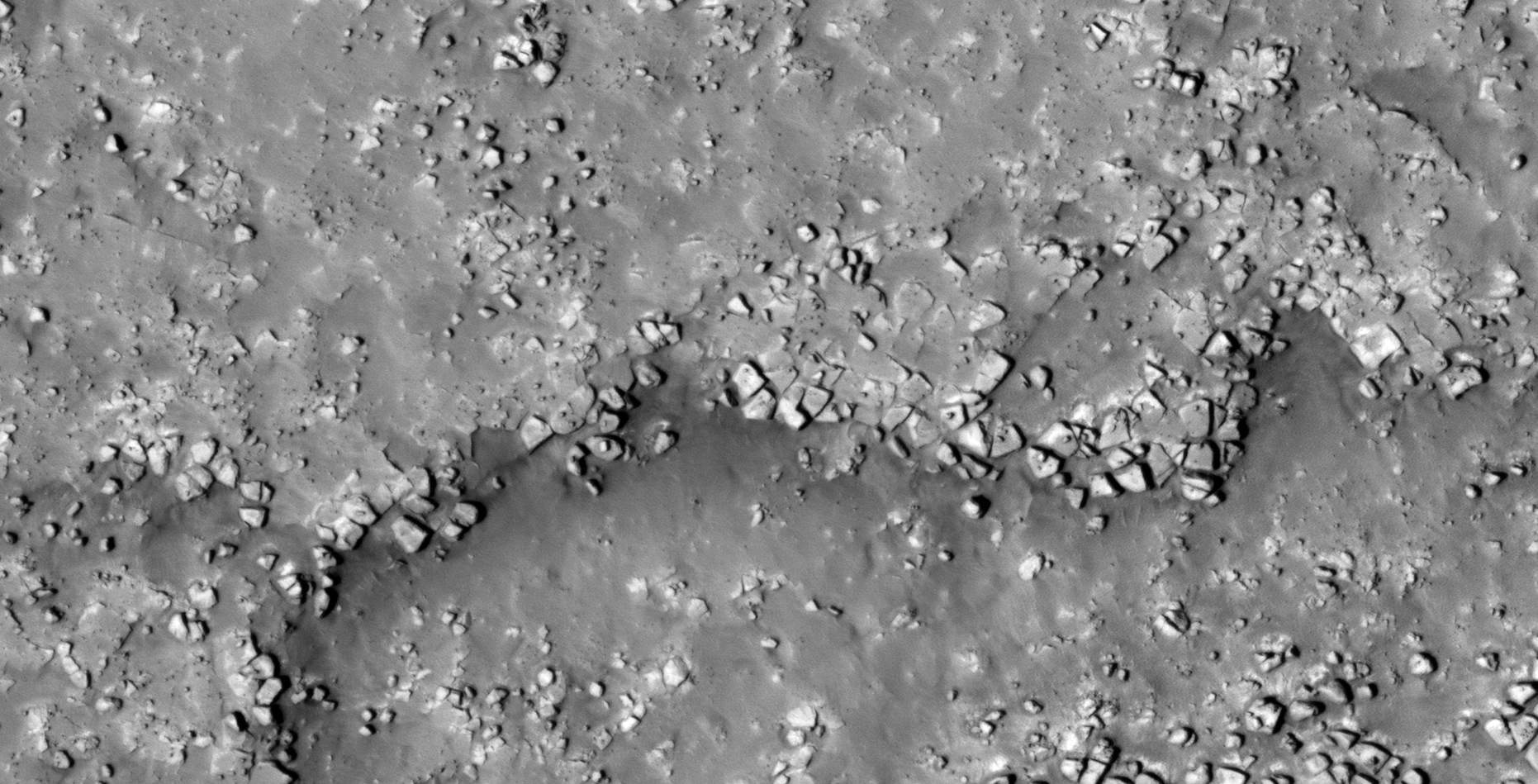
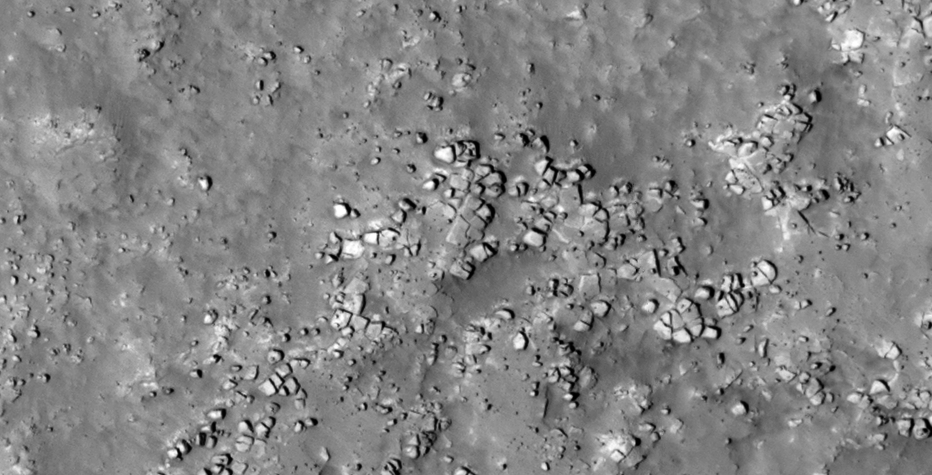
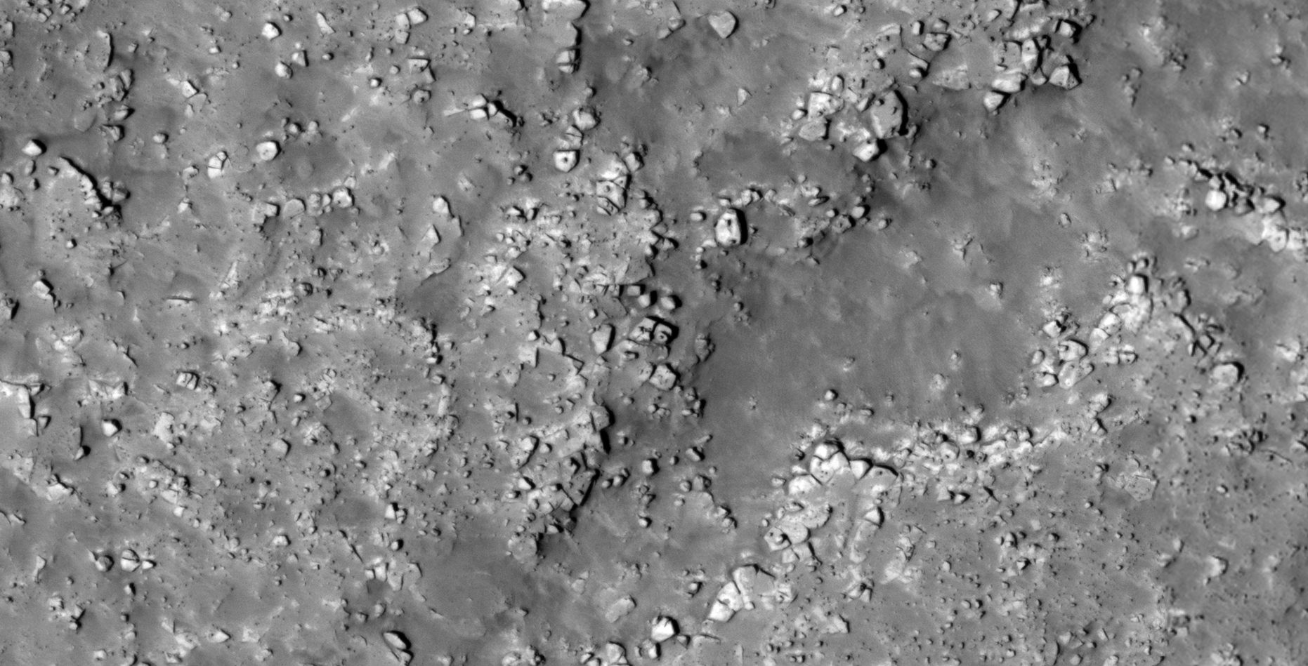
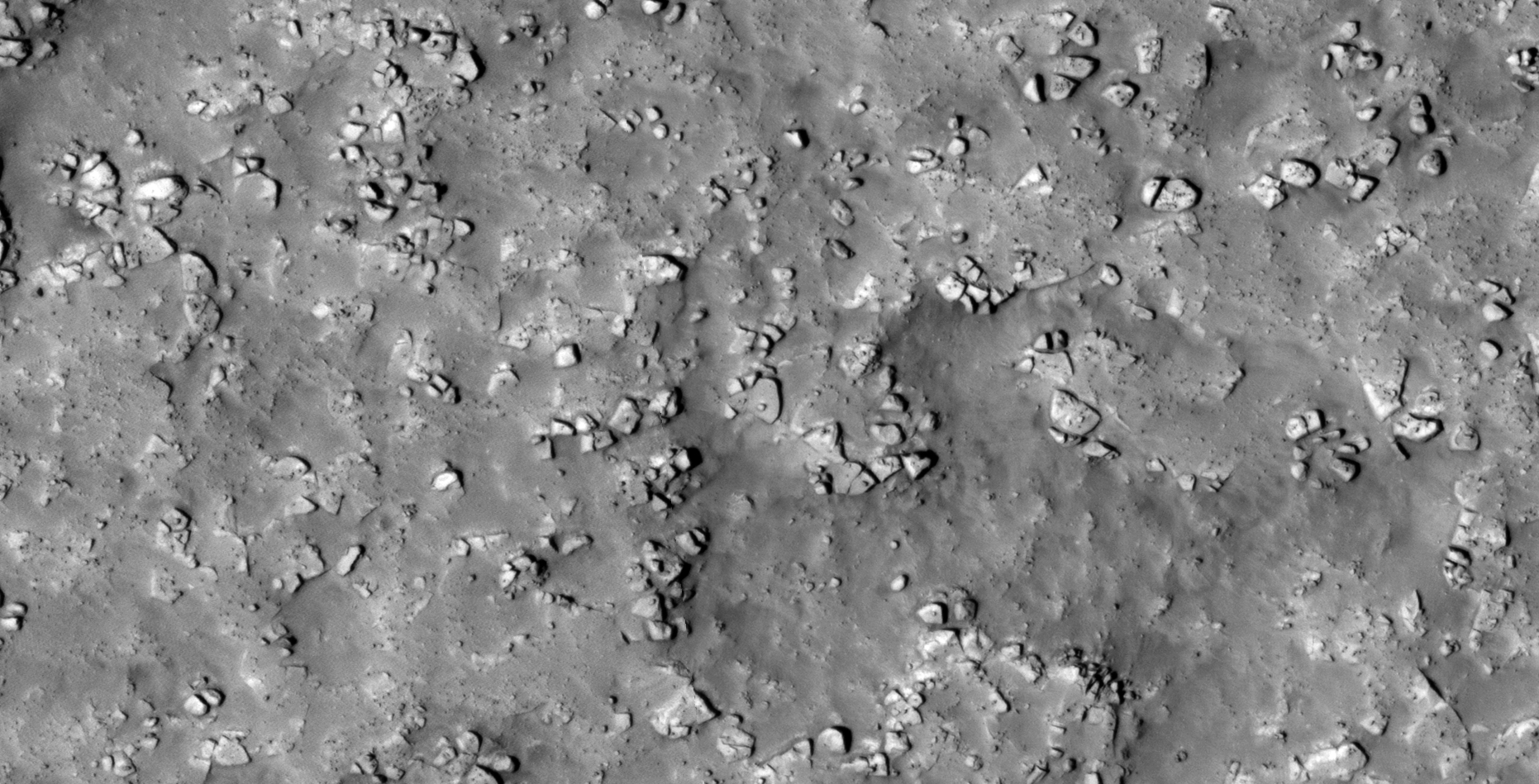
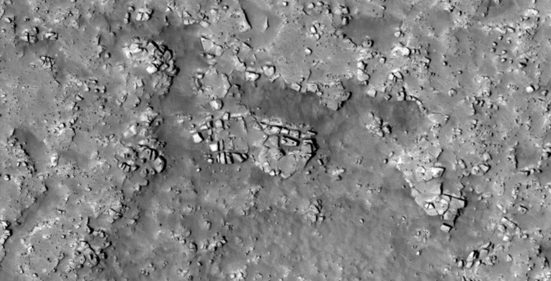
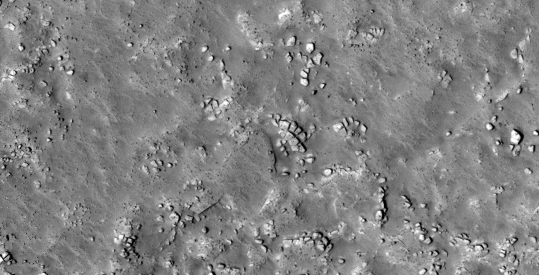
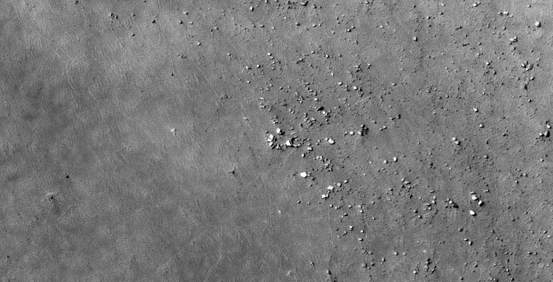
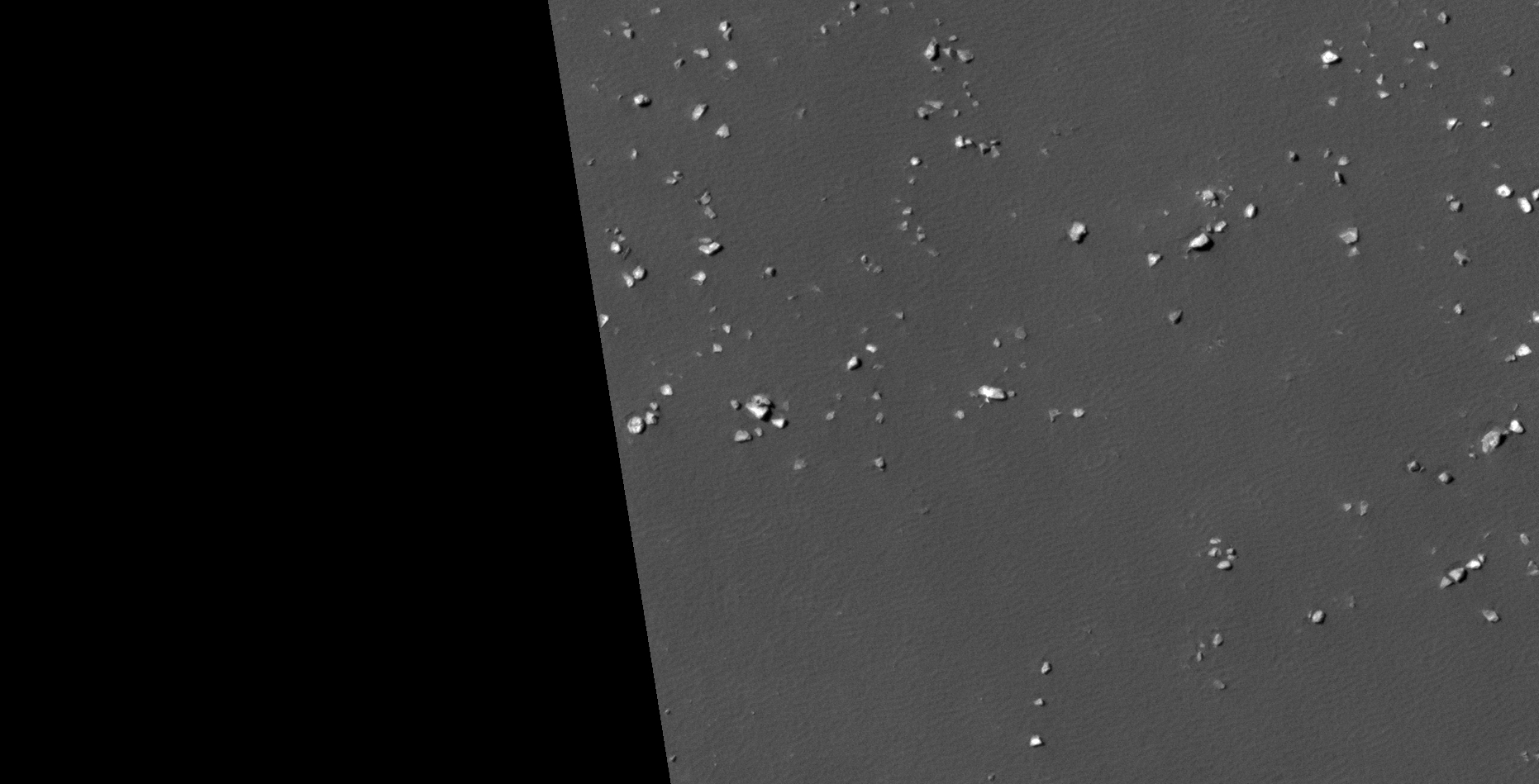
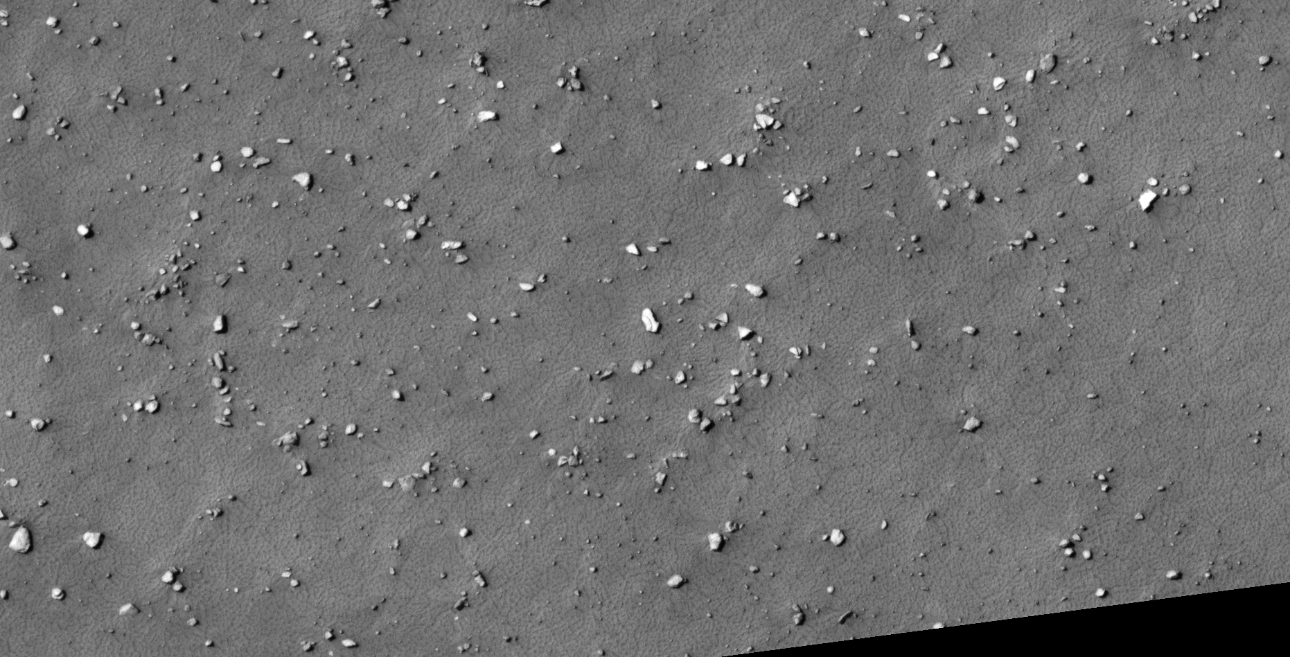
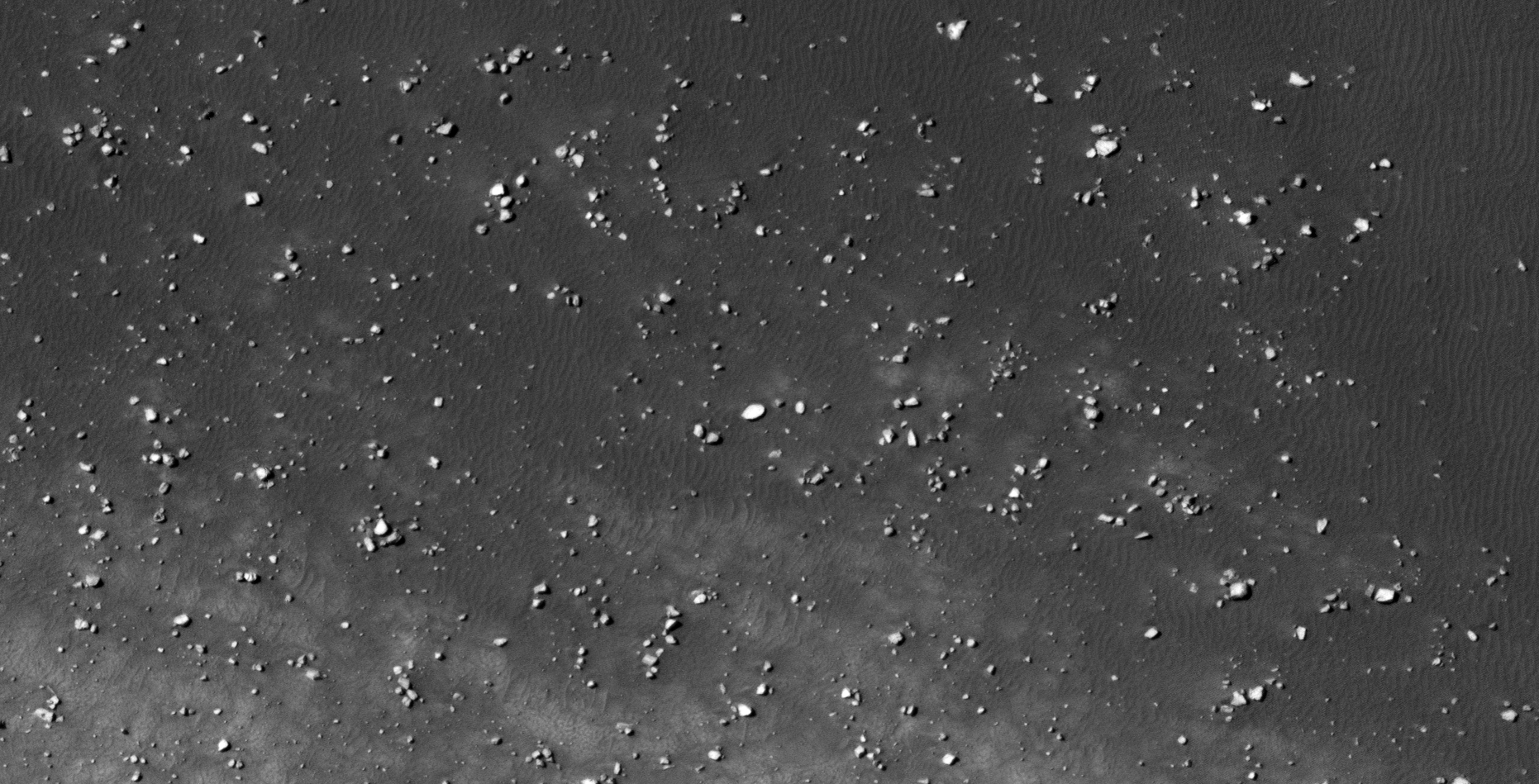
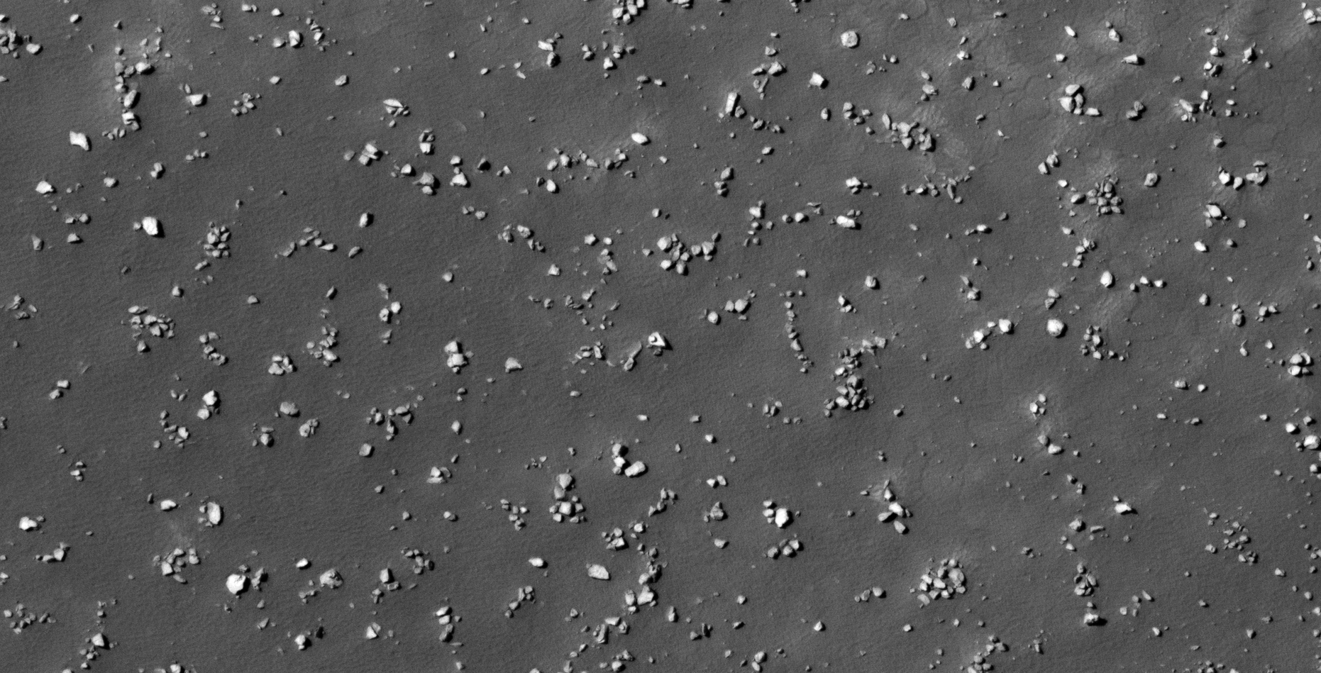
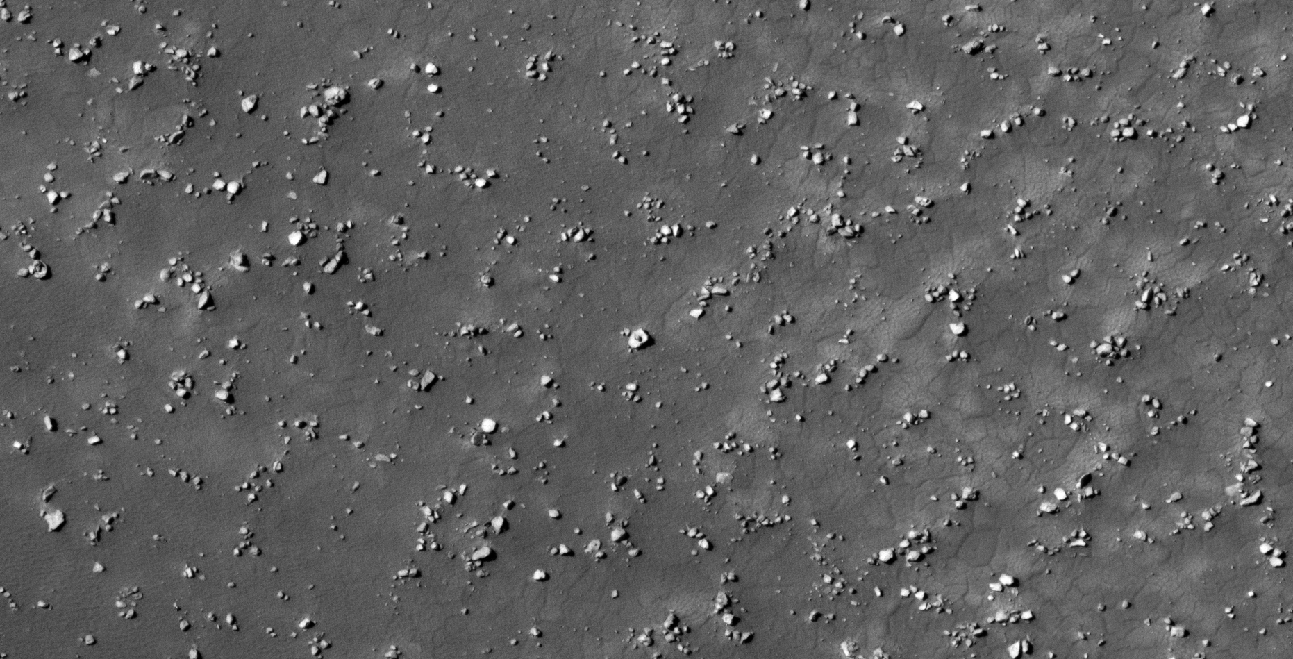
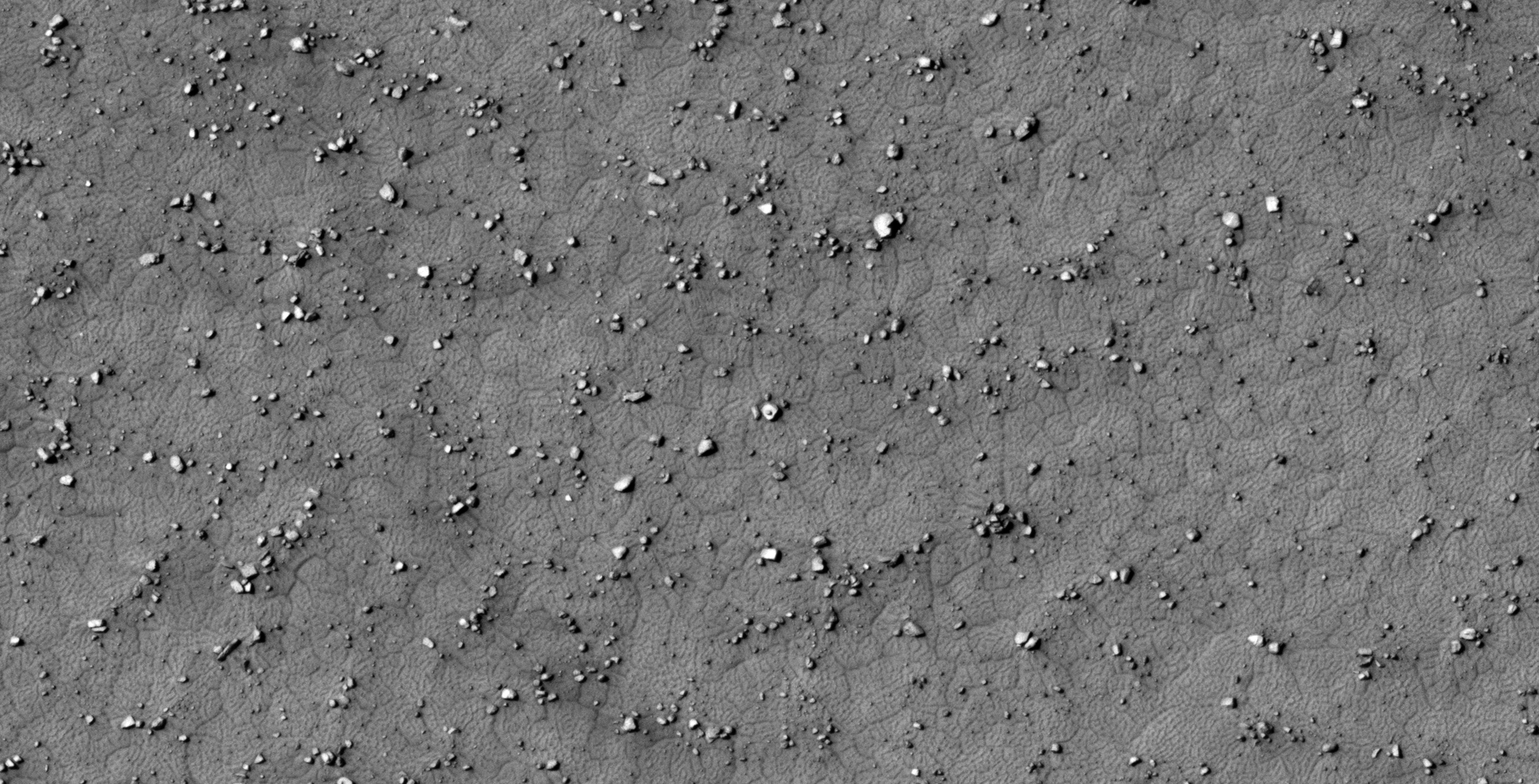
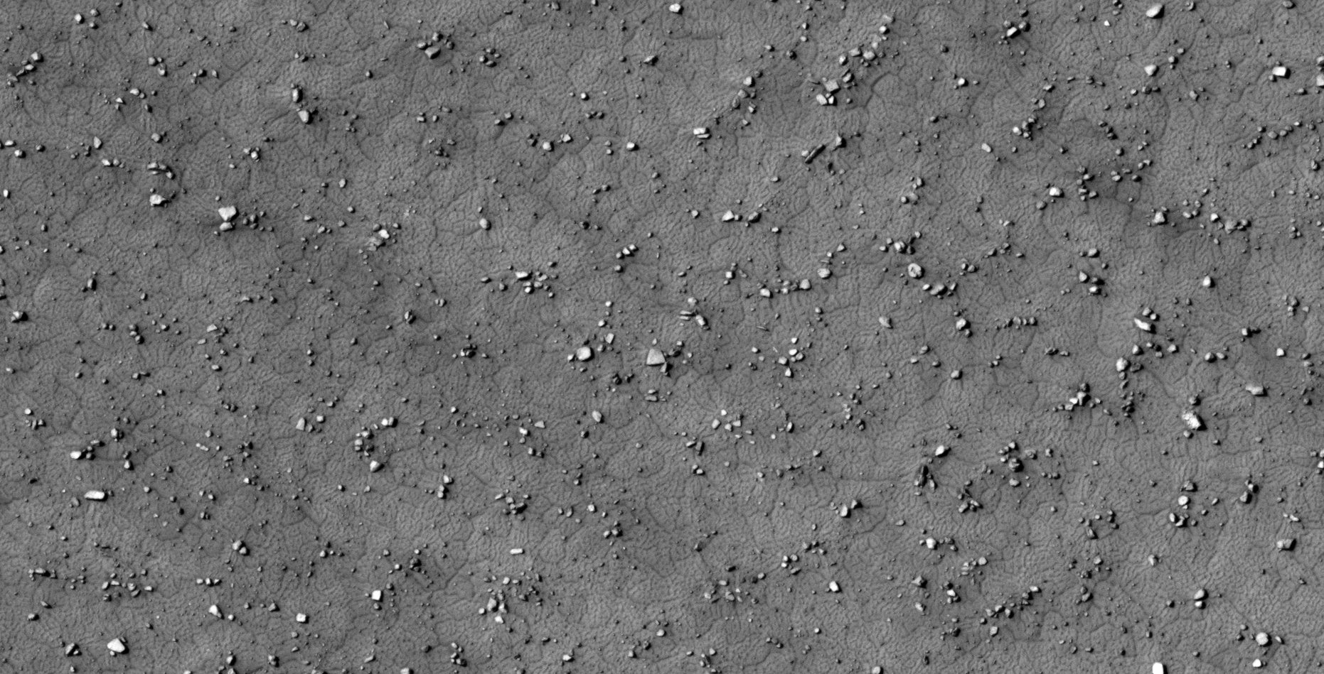
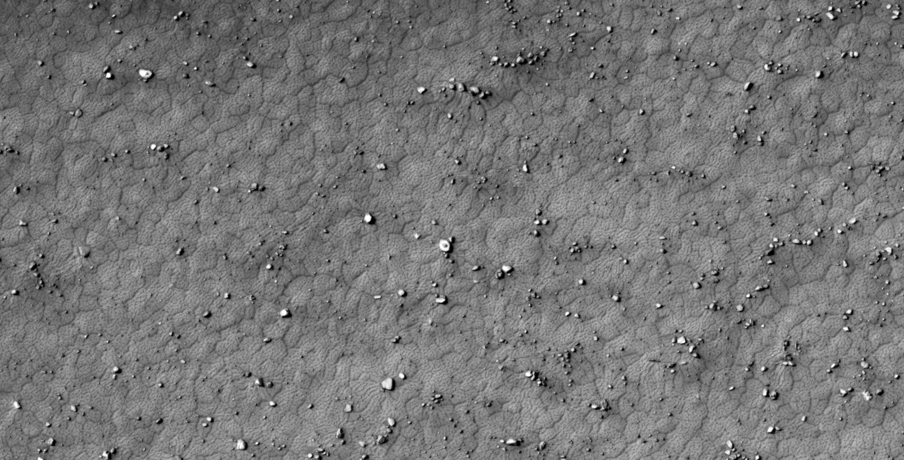
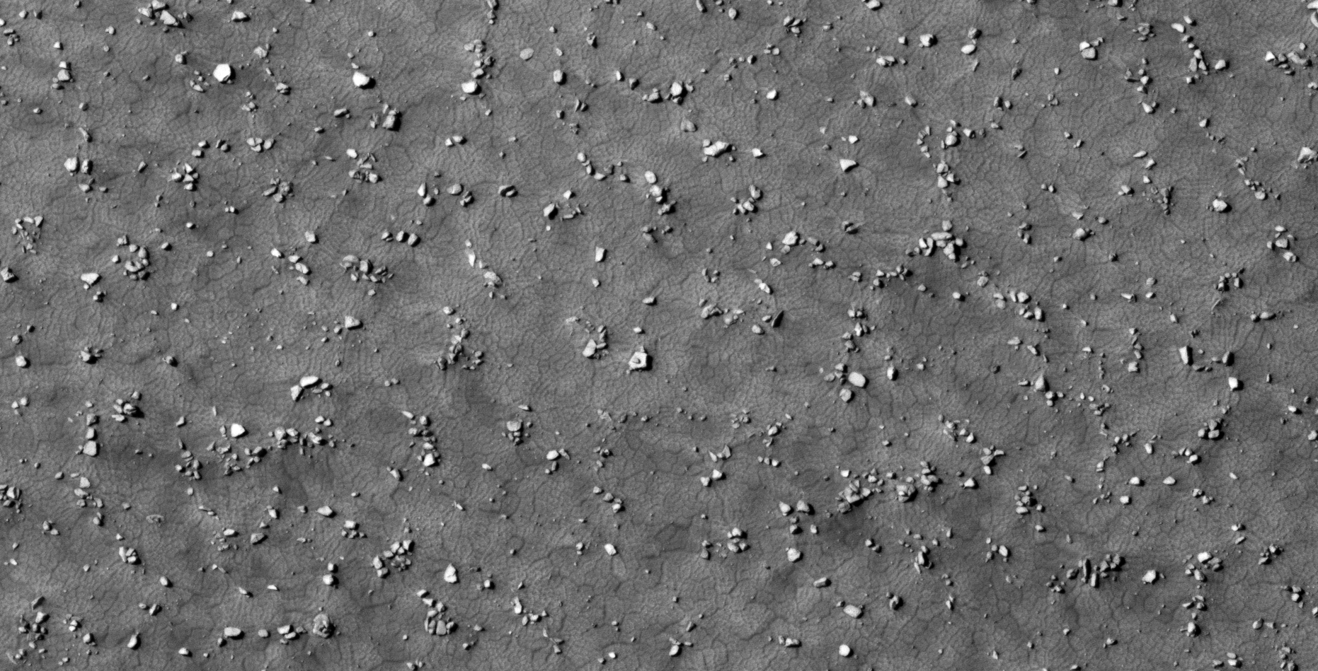
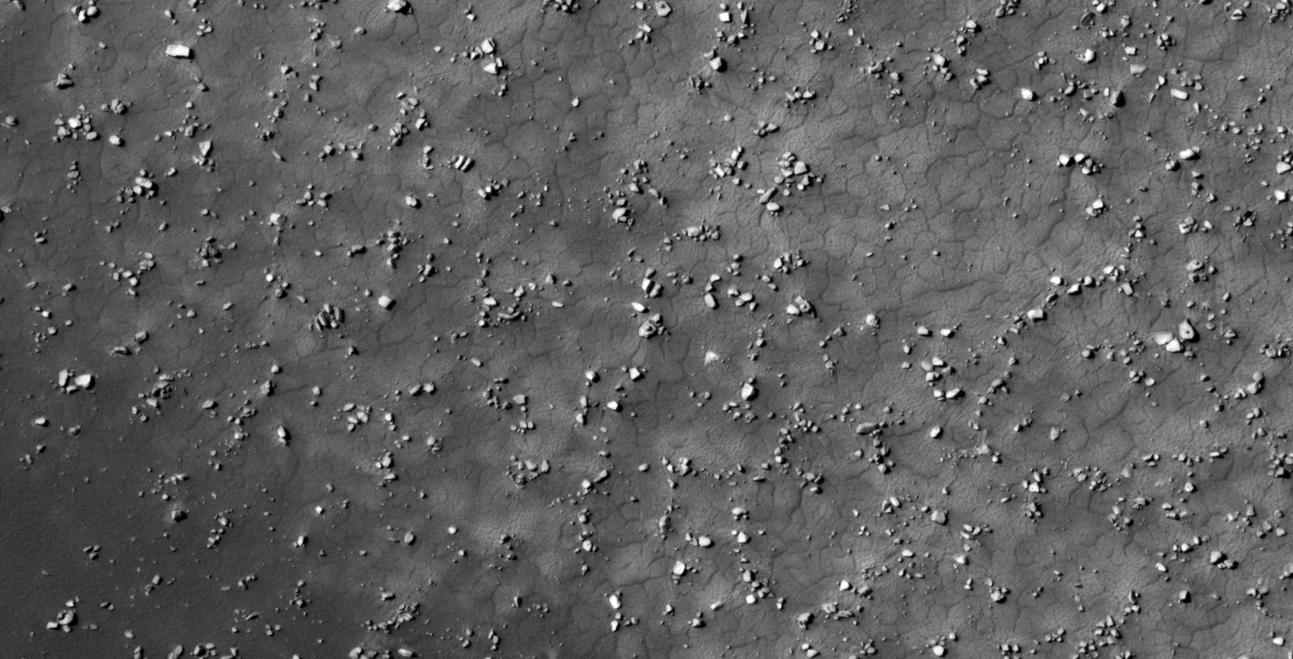
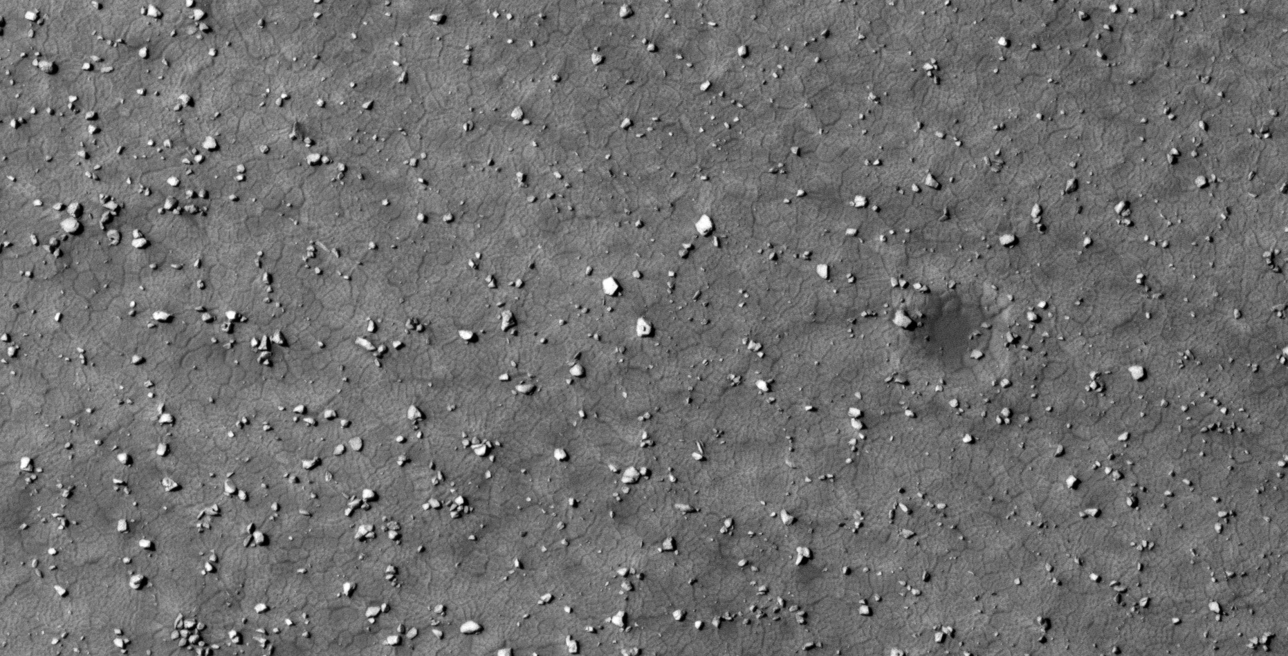
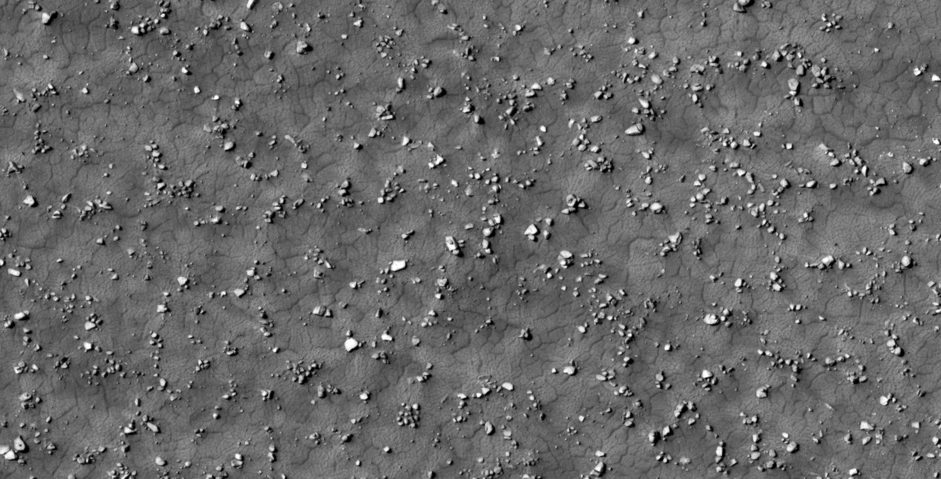
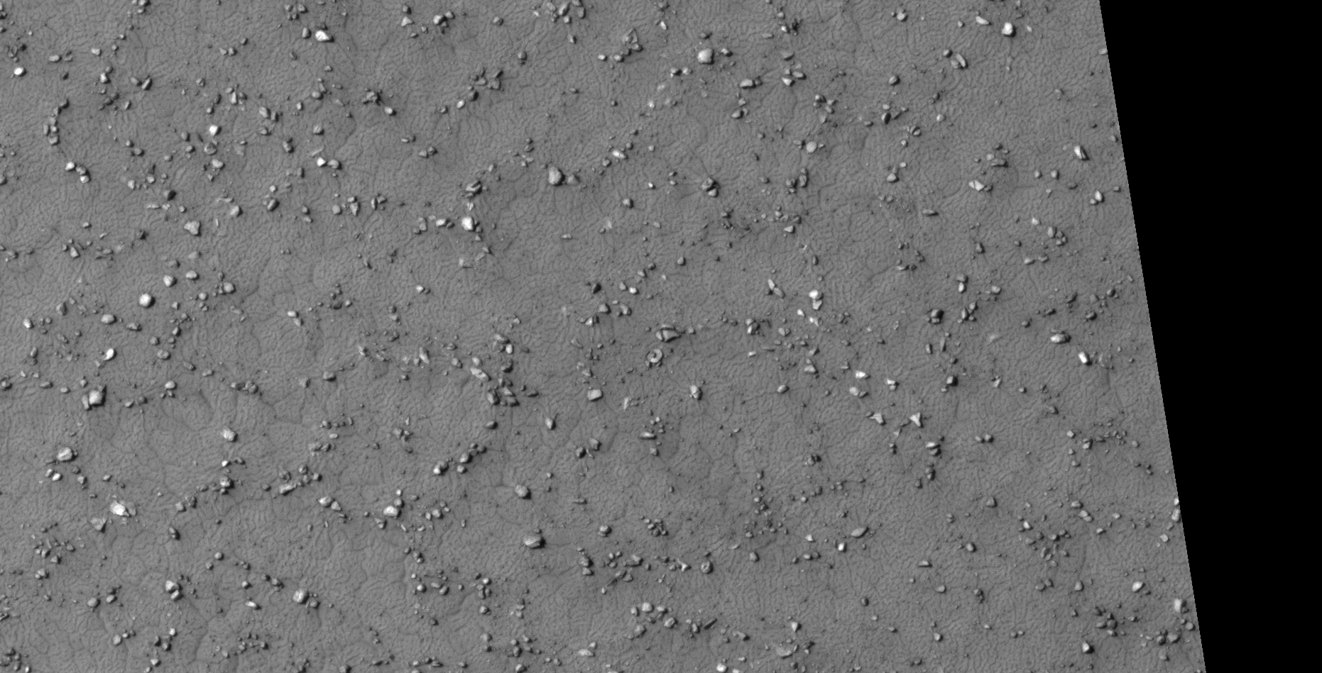
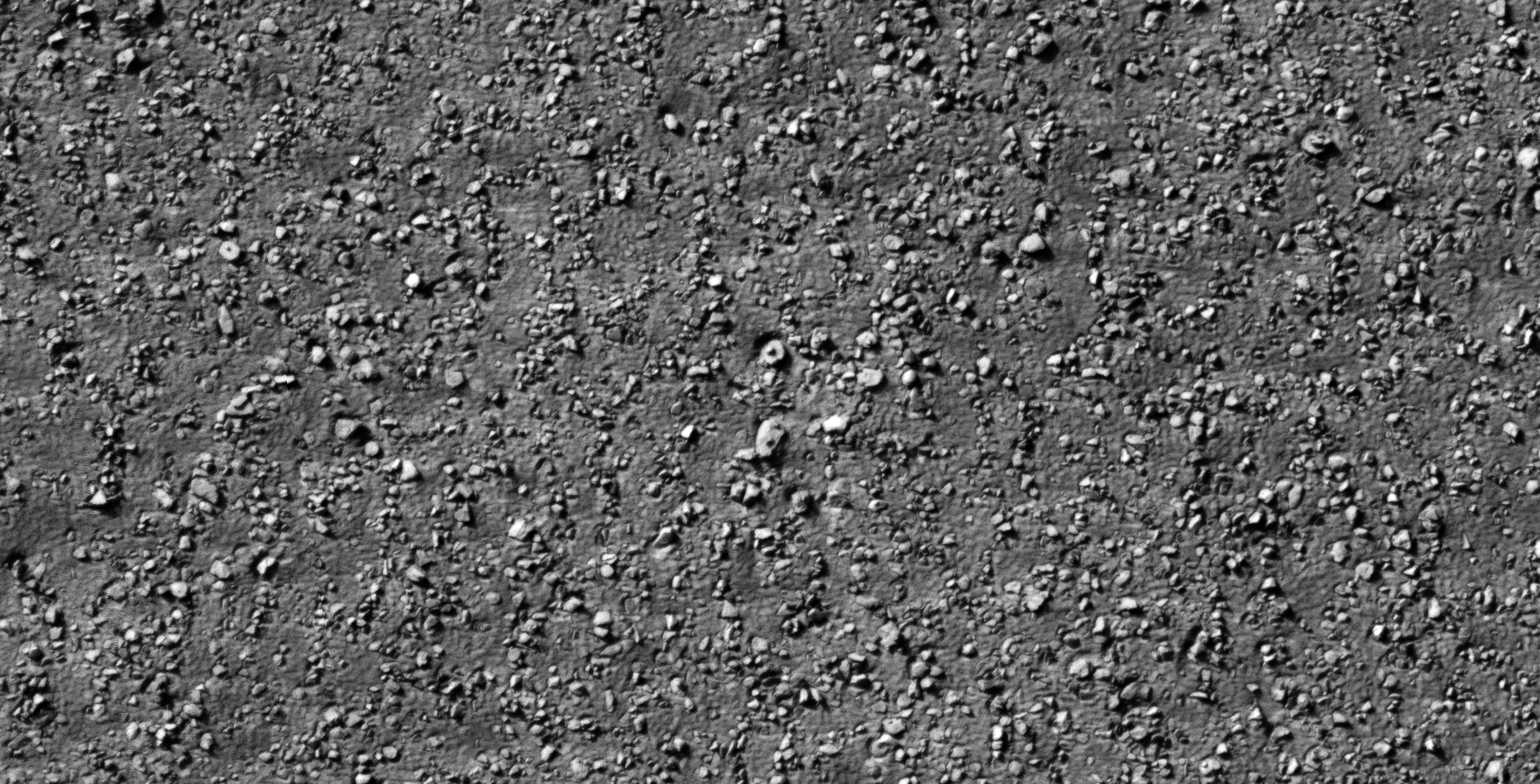
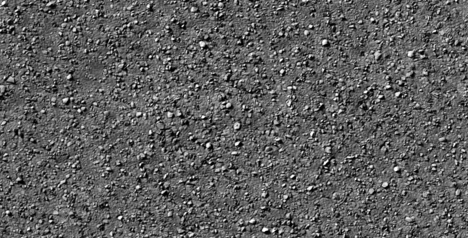
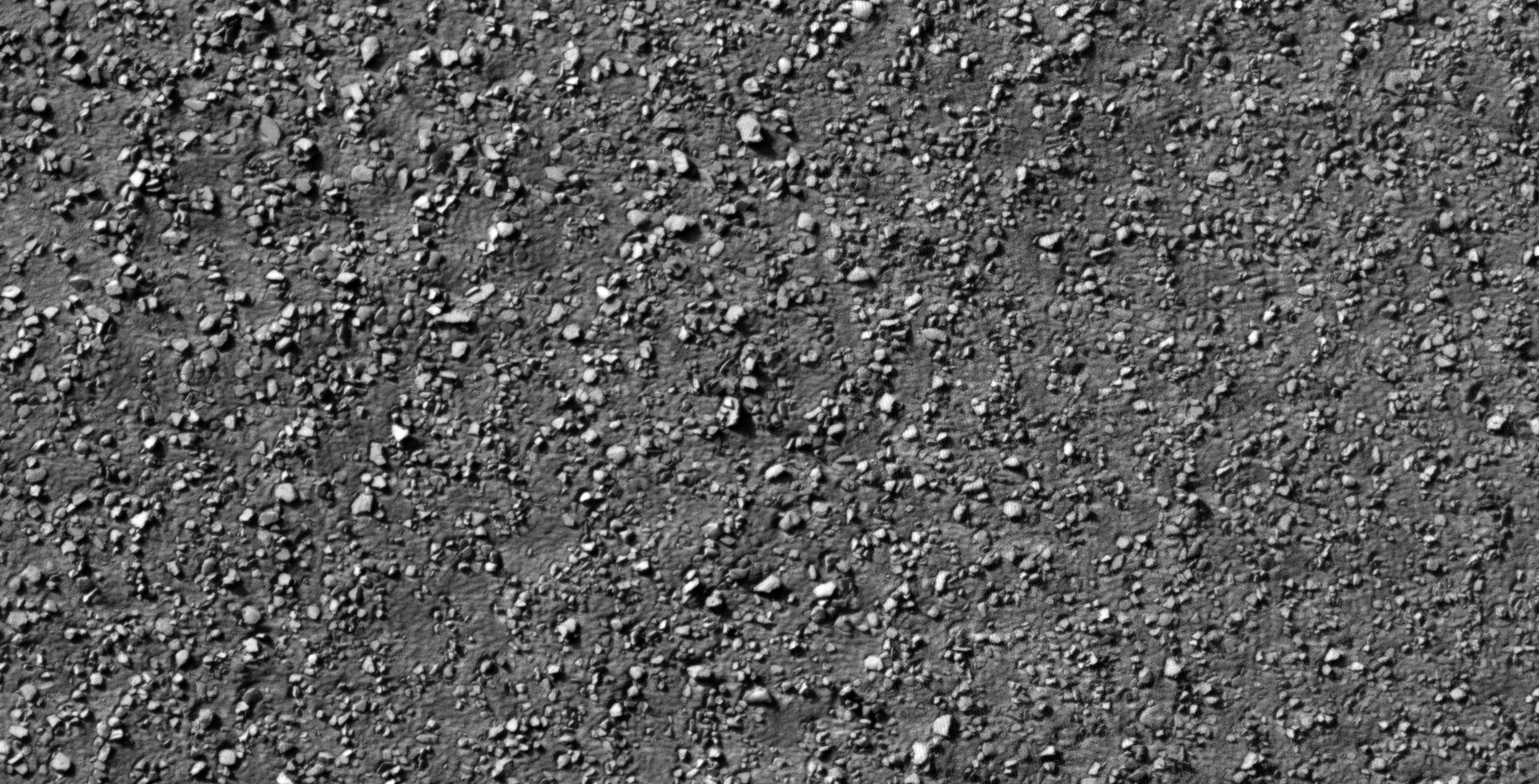
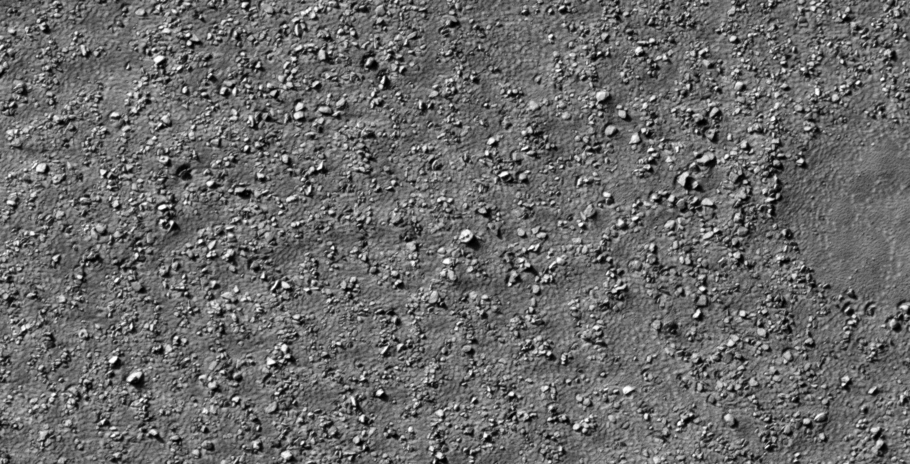
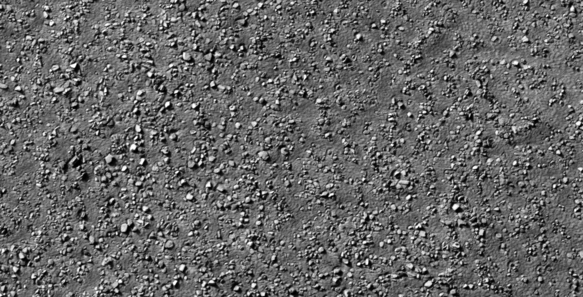
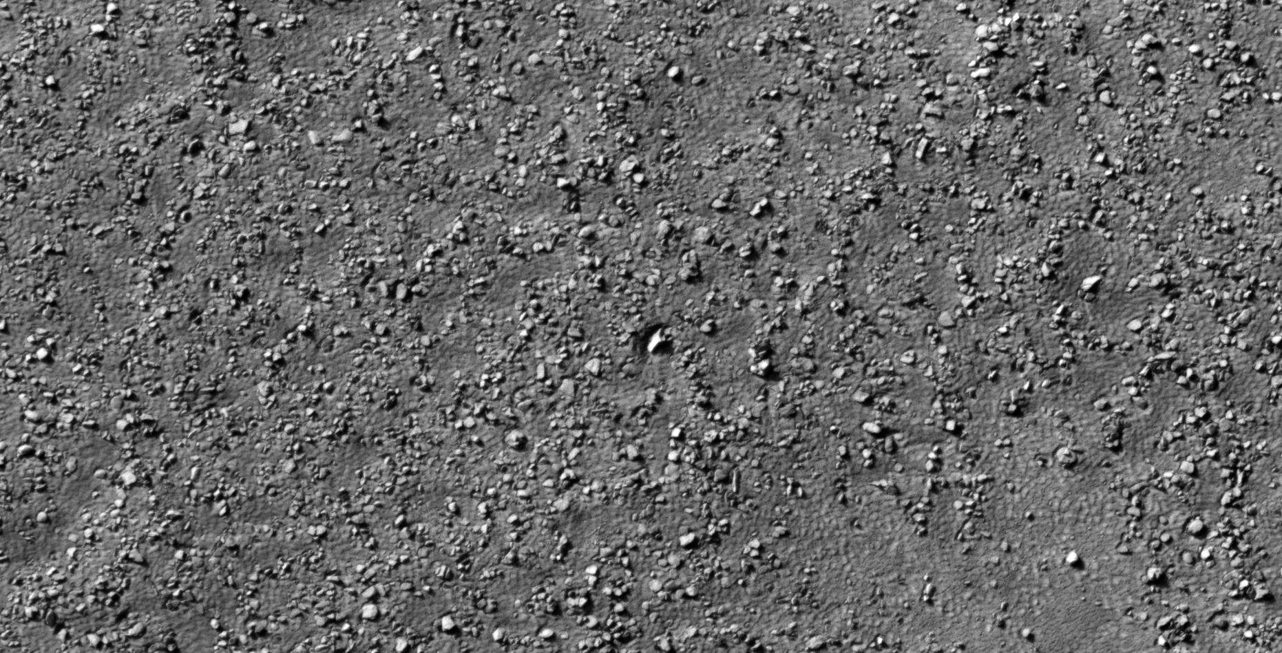
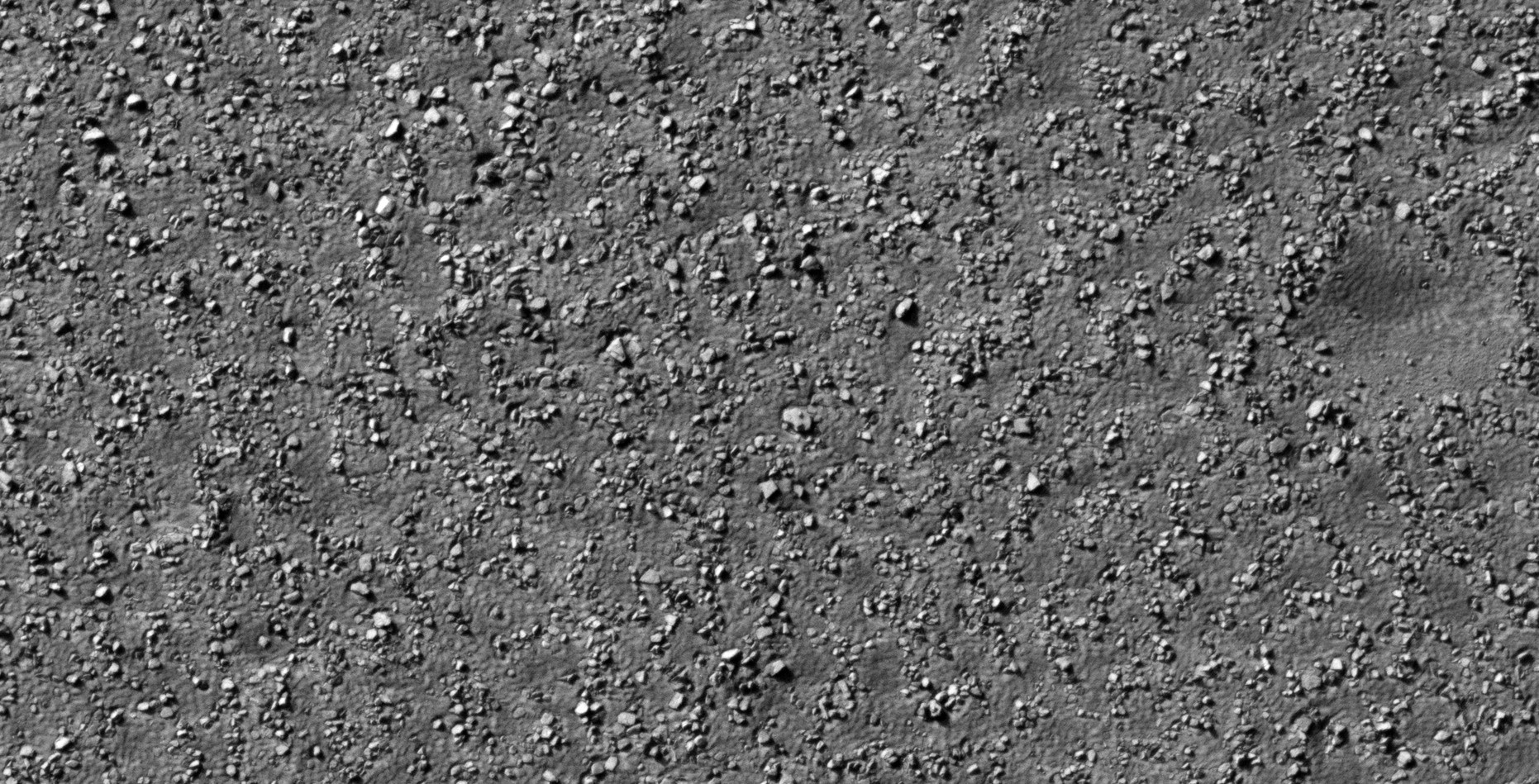
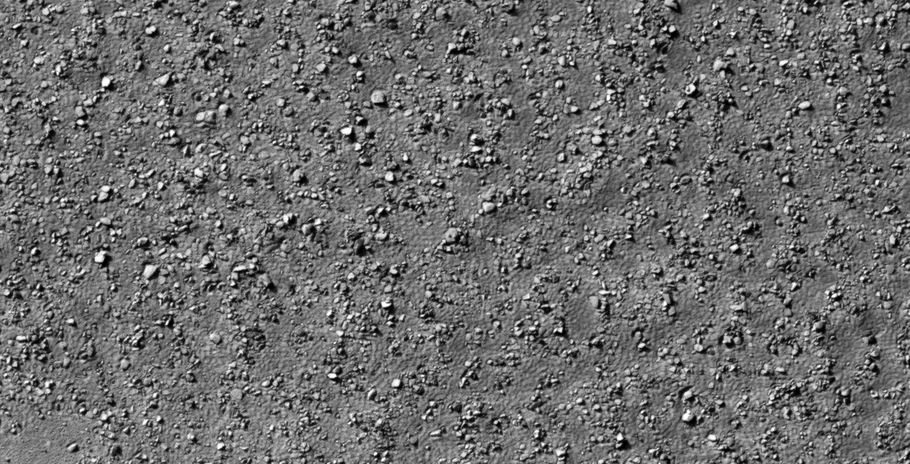
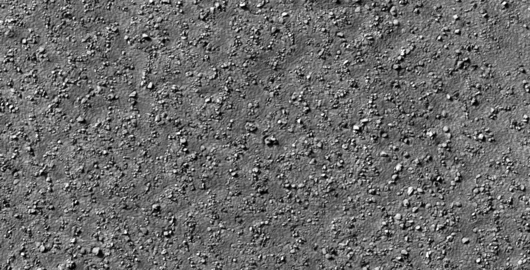
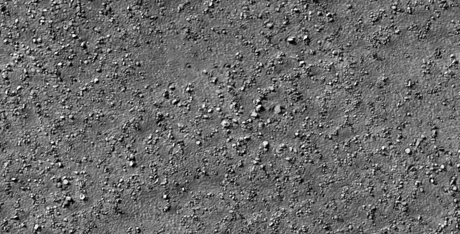
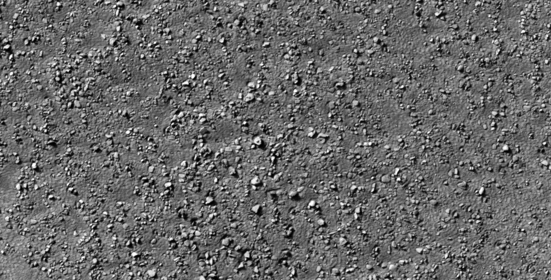
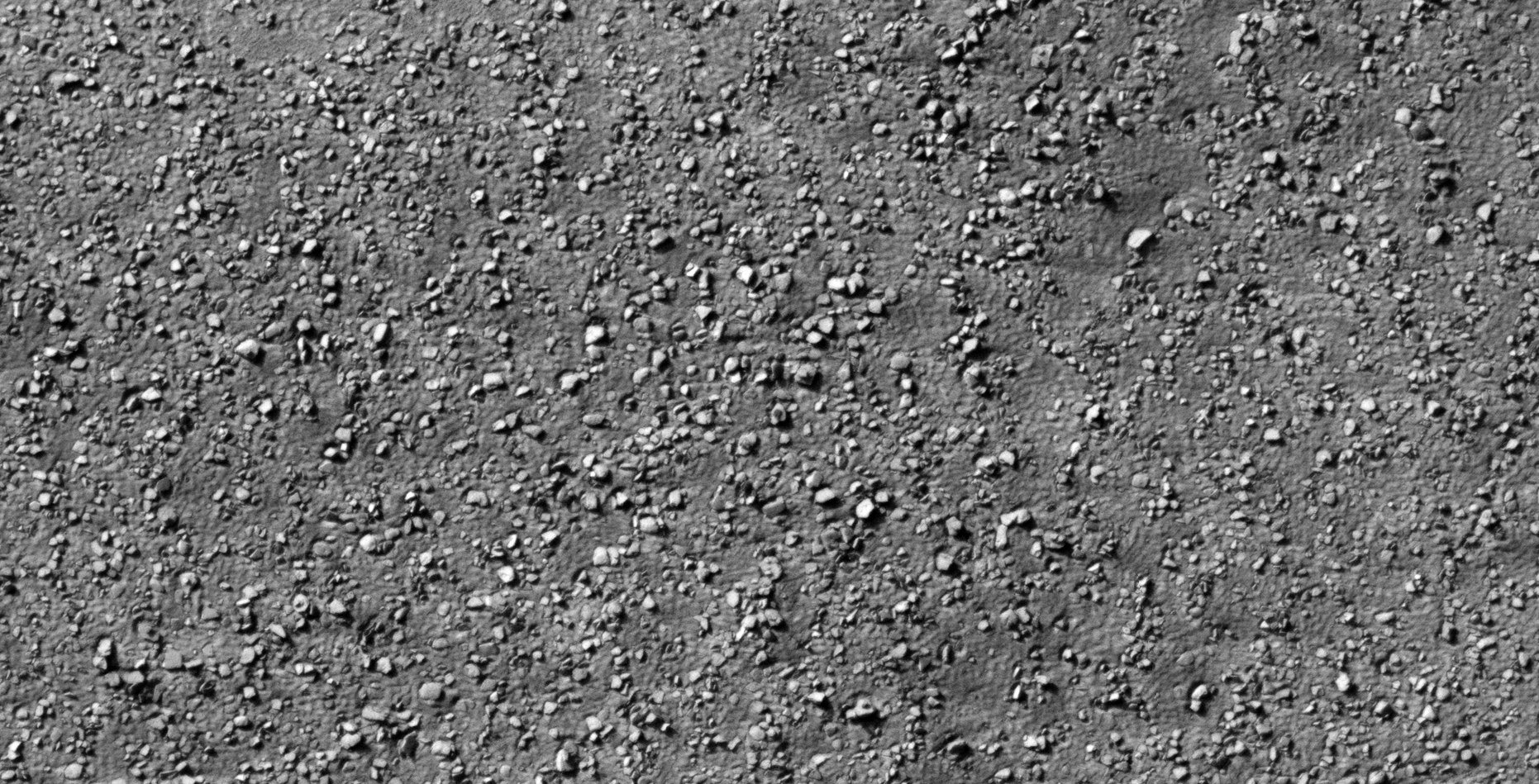
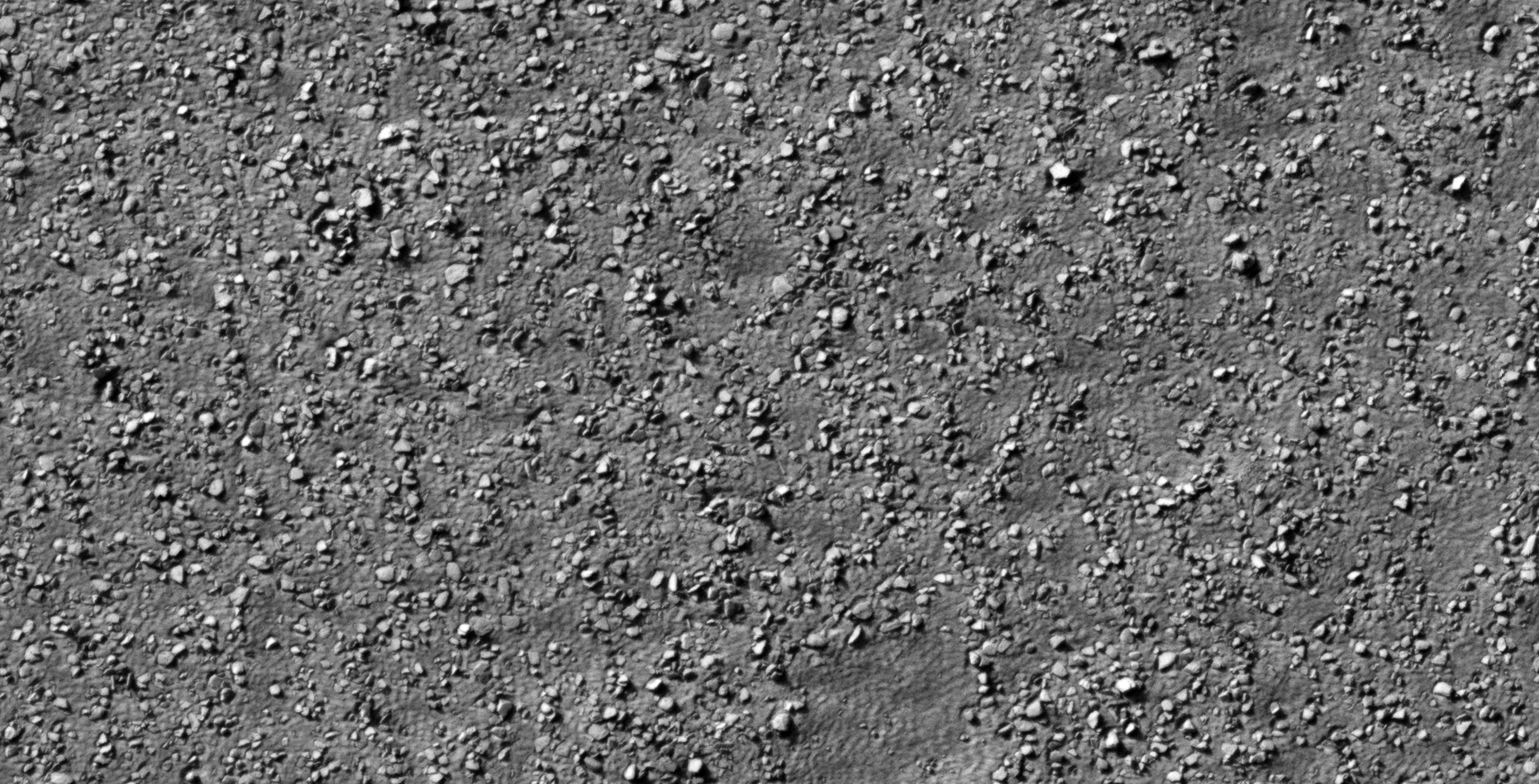
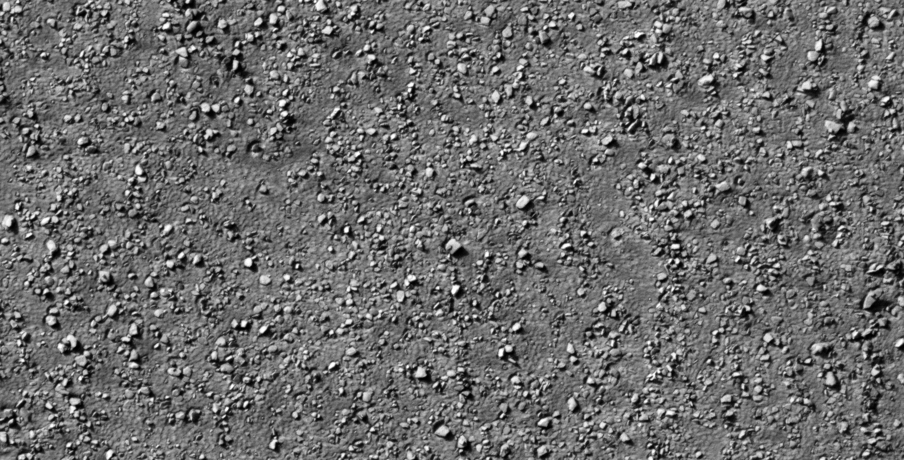
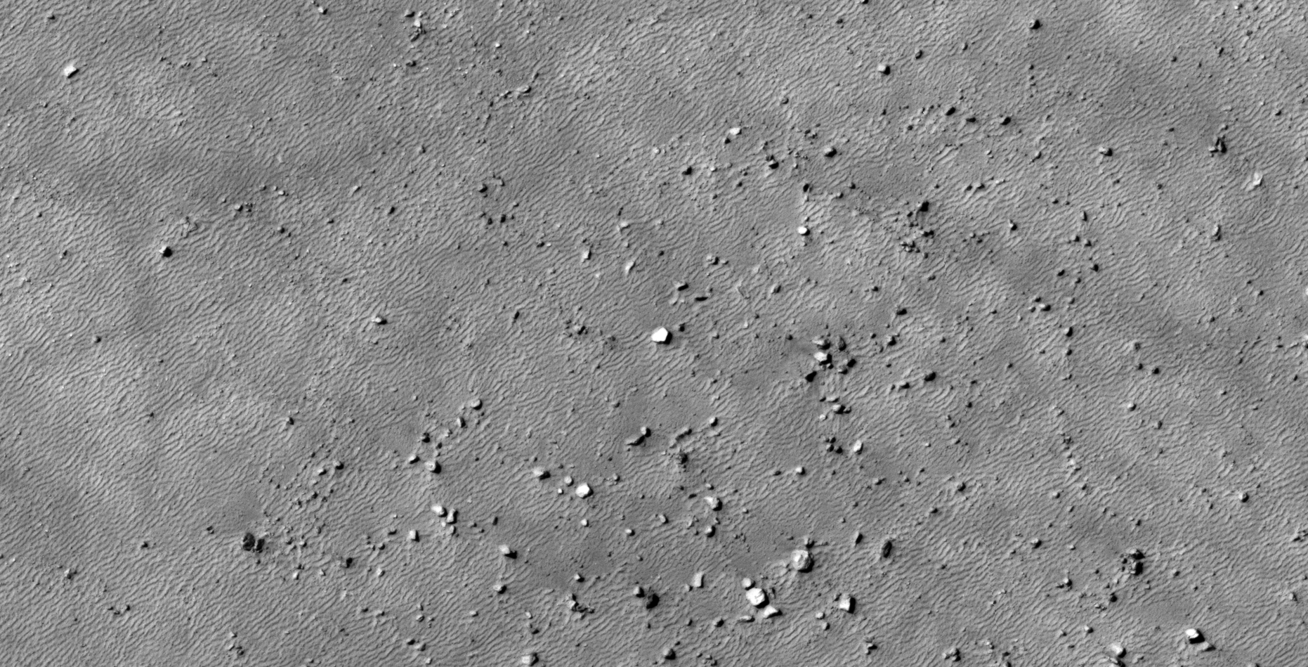
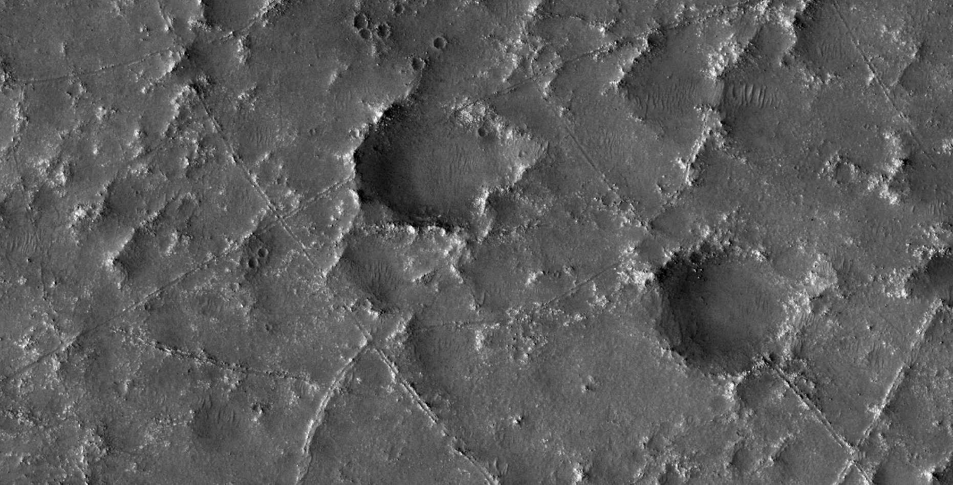
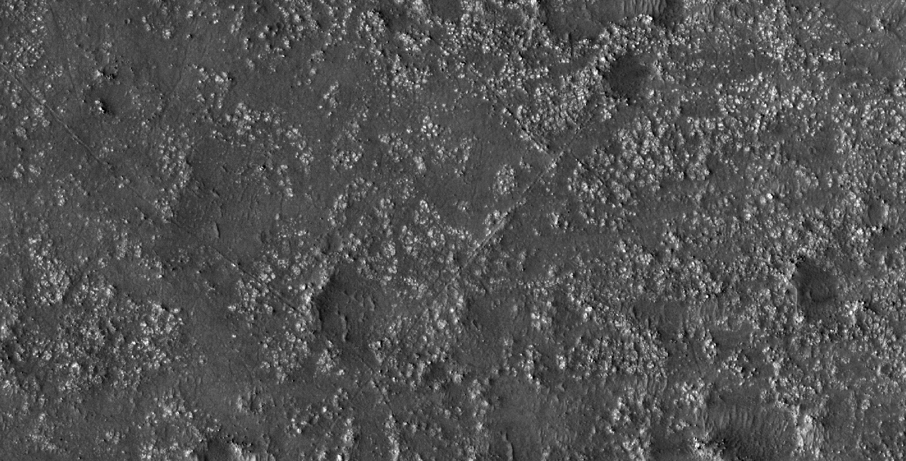
The photograph analyzed here (ESP_026384_2280) was taken by NASA’s Mars Reconnaissance Orbiter on 13 March 2012 and is described as ‘Bedrock or Duricrust Patch in Utopia Planitia.’
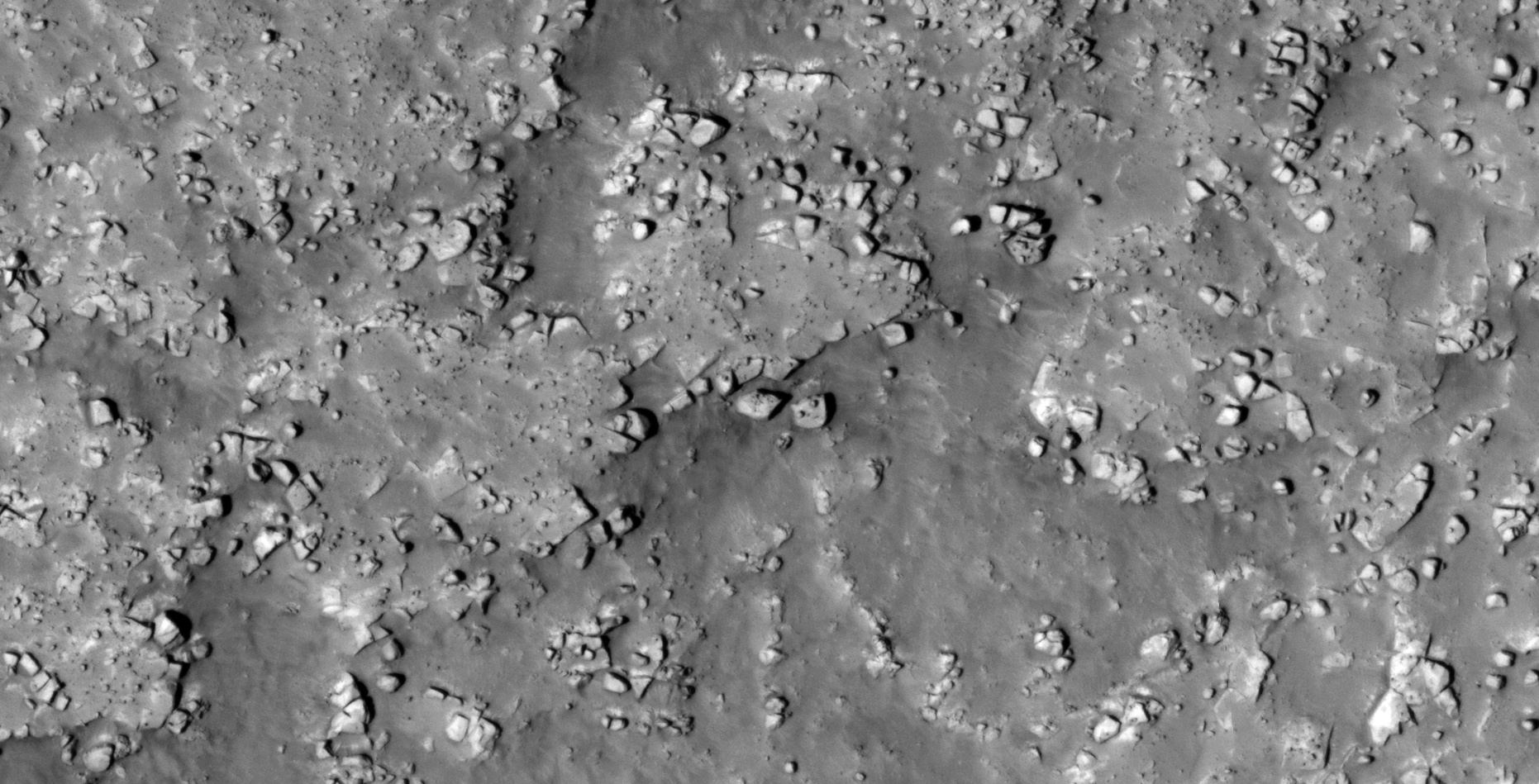
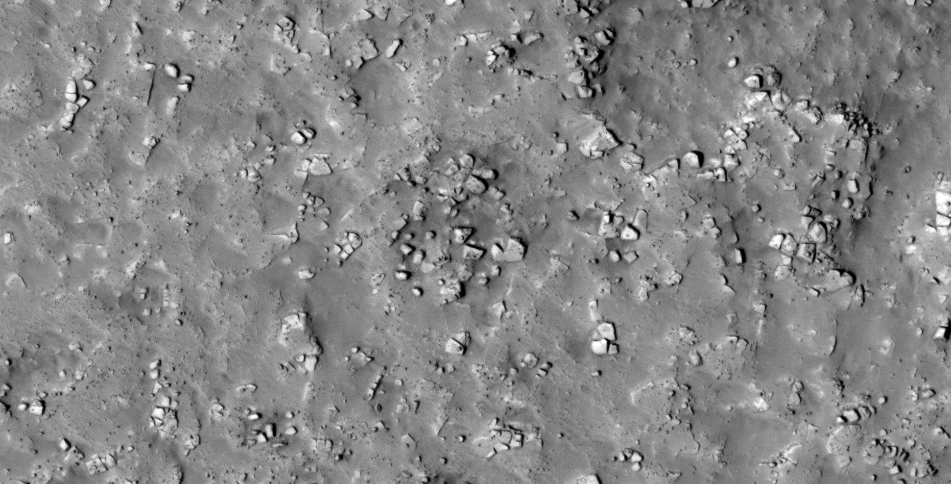
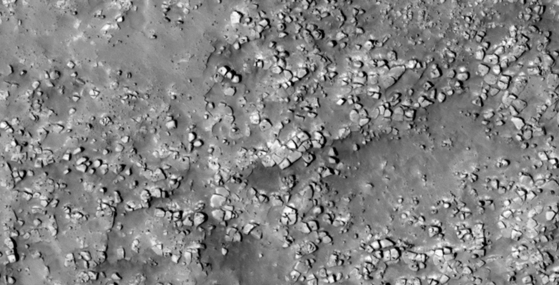
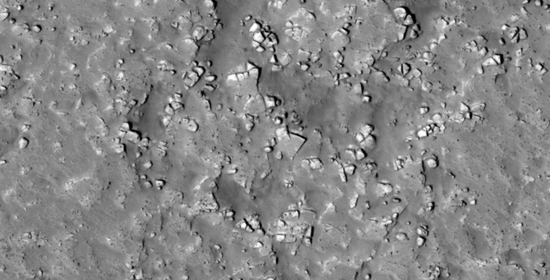
Another terrain covered in megalithic anomalies, many looking like blocks or slabs with knobs, arranged in rows side-by-side.
InSight may have photographed an anomaly:
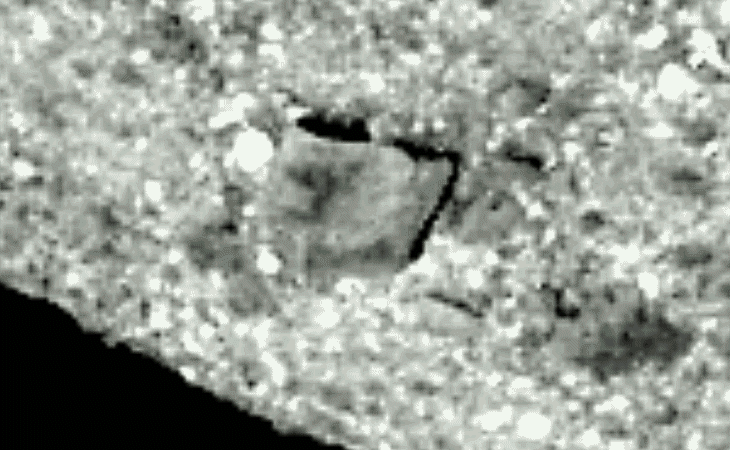
I discovered what looks like another stone-disc-like anomaly in an InSight photograph taken on Sol 8.
A stone disc-like anomaly photographed by InSight on Sol 8 (click for larger image)
On 5 January 2009 NASA’s Mars Exploration Rover Spirit captured a similar stone anomaly on the Martian surface (PIA11746).
A stone disc-like anomaly photographed by Rover Spirit (click for larger image)
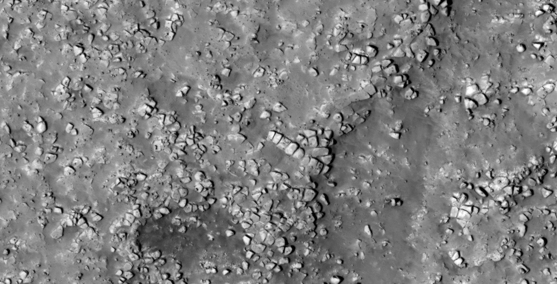
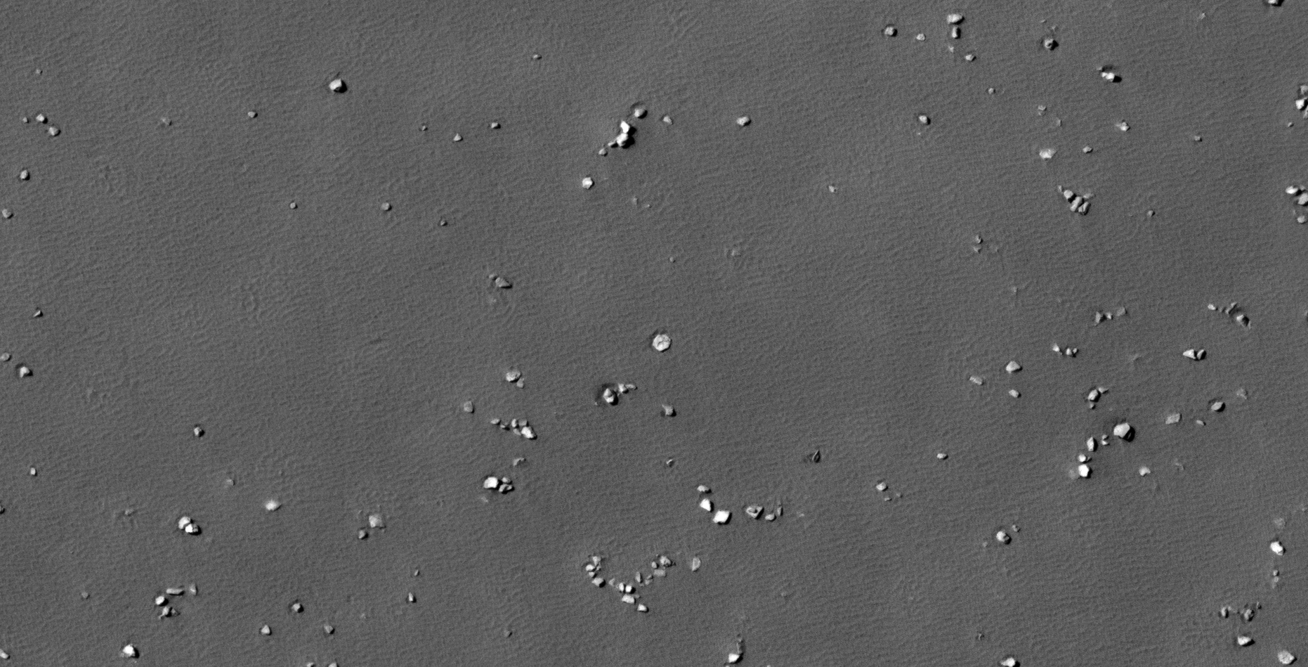
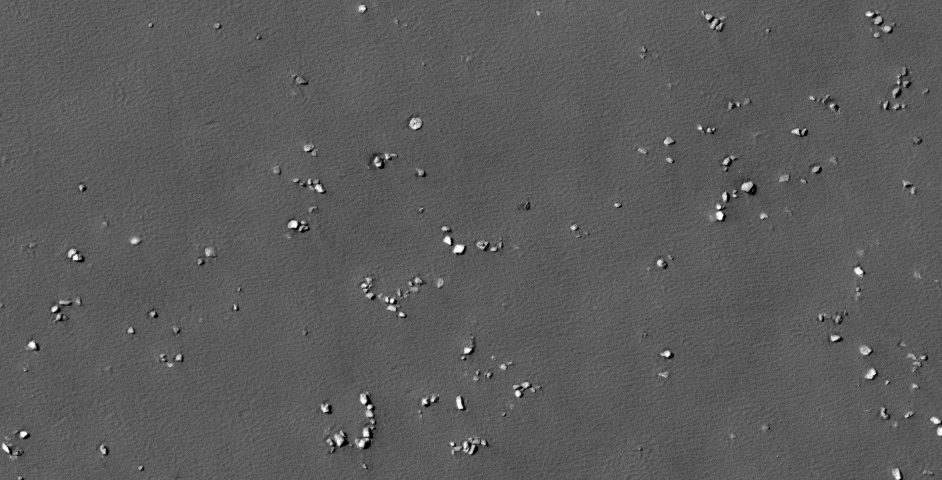
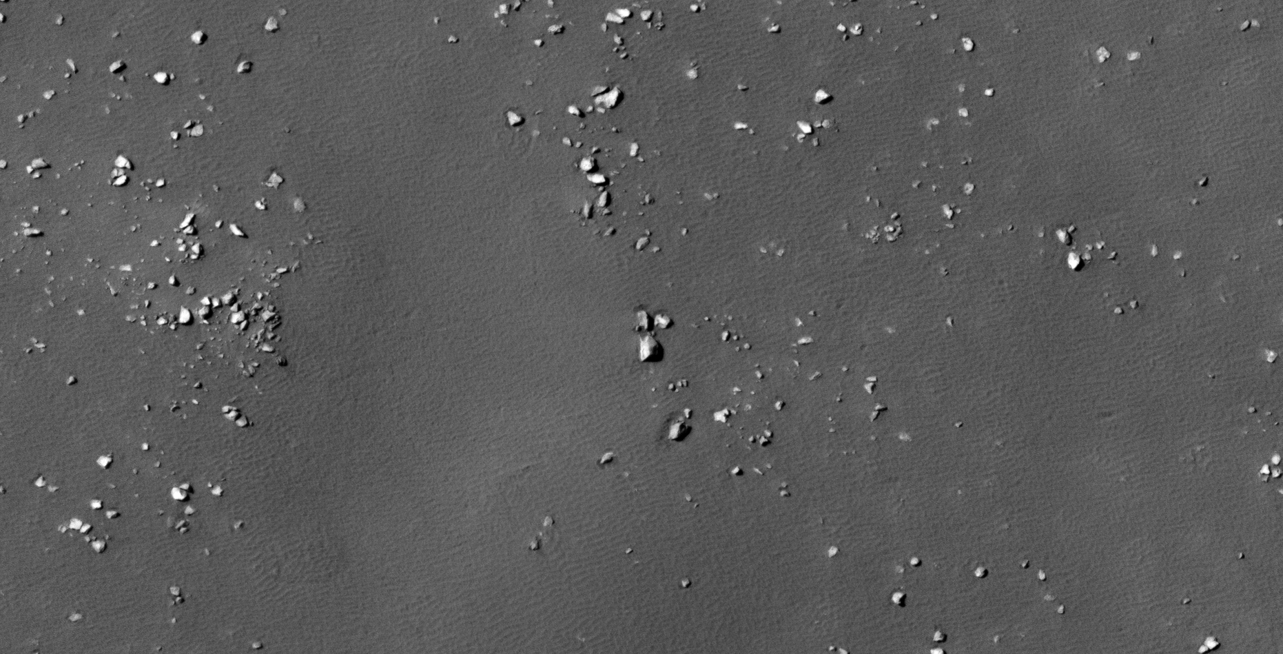
The Megalithic Blocks of Utopia Planitia on Mars:
An elevated view of this site being analyzed (click for larger image)An elevated view of this site being analyzed (click for larger image)(click for larger image)(click for larger image)(click for larger image)(click for larger image)(click for larger image)(click for larger image)(click for larger image)(click for larger image)(click for larger image)(click for larger image)(click for larger image)(click for larger image)(click for larger image)(click for larger image)(click for larger image)(click for larger image)
Images saved from within HiView or CTX viewer do not include image scale indicators. The image scale indicators I include in images are based on the official resolutions provided by NASA and although I strive to be as accurate as possible there may be slight deviations from the actual scale. Image scale indicators are included as a size approximation tool only.
Geometry lines are mapped as accurately as possible using the limited information, data and mapping tools available at the time, therefore the lines may deviate from target sites by a few kilometres. Revisions may be made in the future as new, more precise information, data and mapping tools become available.
Many or all of the anomalies/artefacts covered in this presentation may be naturally occurring geological features caused by some type of geological processes, however due to the lack of specific information from the source we can only speculate whether these are all natural or some artificial in nature.
In cases where I say an anomaly looks like something I’m attempting to clarify what I see and not specifically that the anomaly is what I say it looks like.
My intention is only to share anomalies I’ve discovered on Mars and not to convince anyone that there is or was a civilization on Mars.
As Will Farrar from WhatsUpInTheSky says: “I see what I see, you see what you see.”
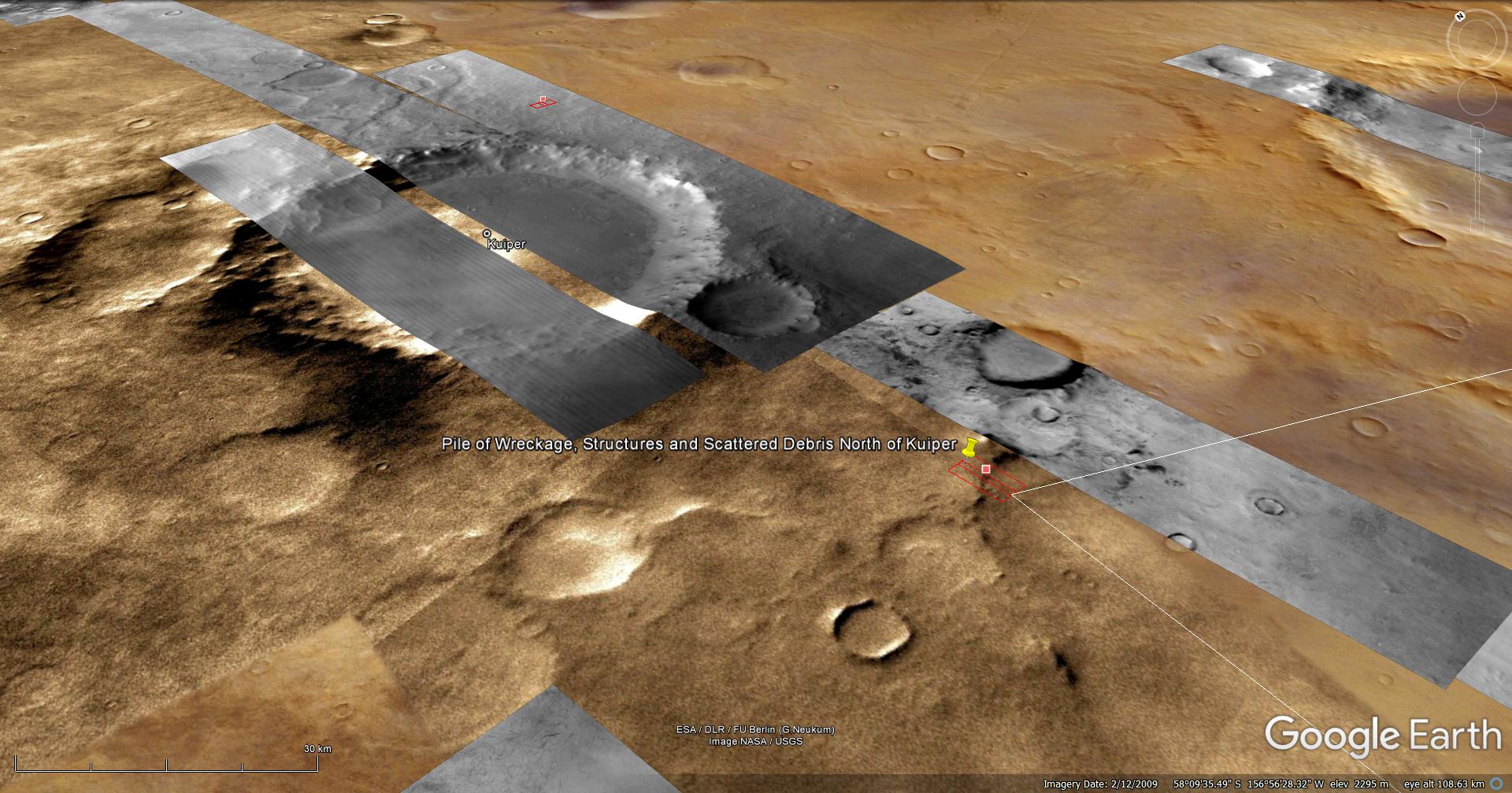
NOTE: In the video I state North of Kuiper, it should be South of Kuiper. My apology.
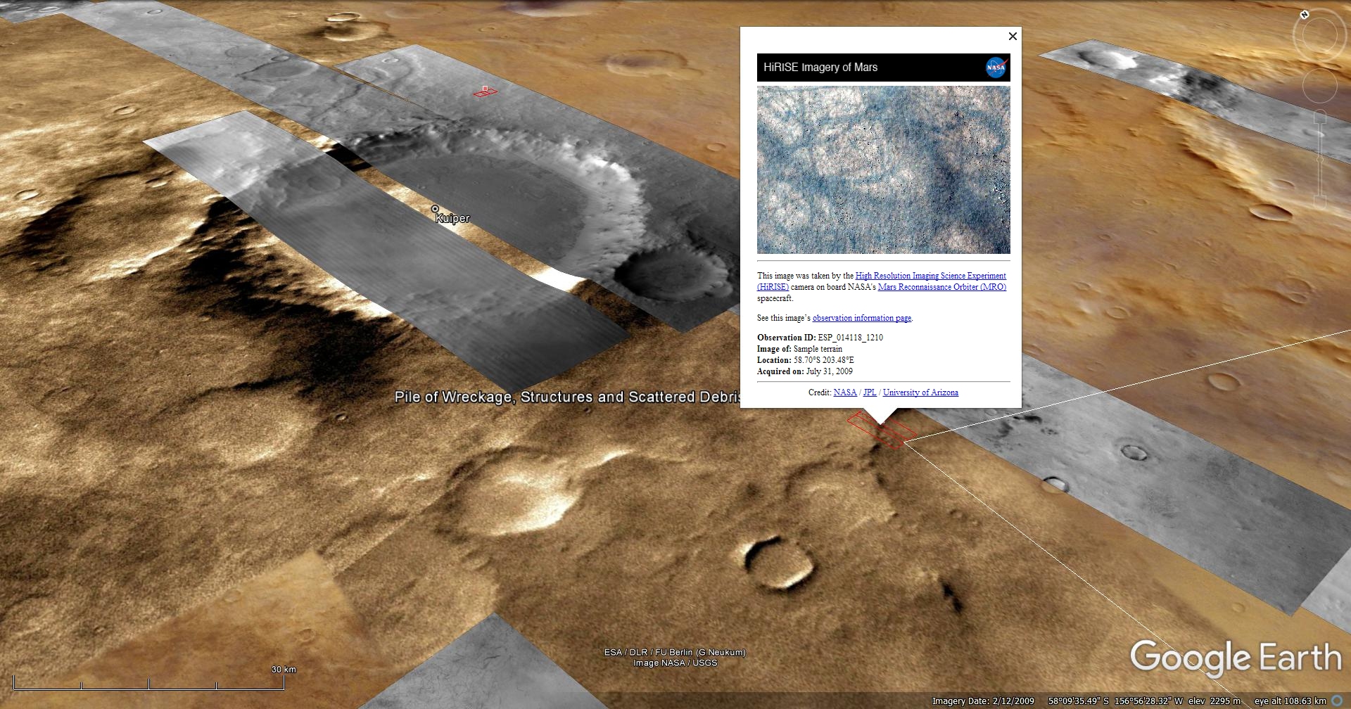
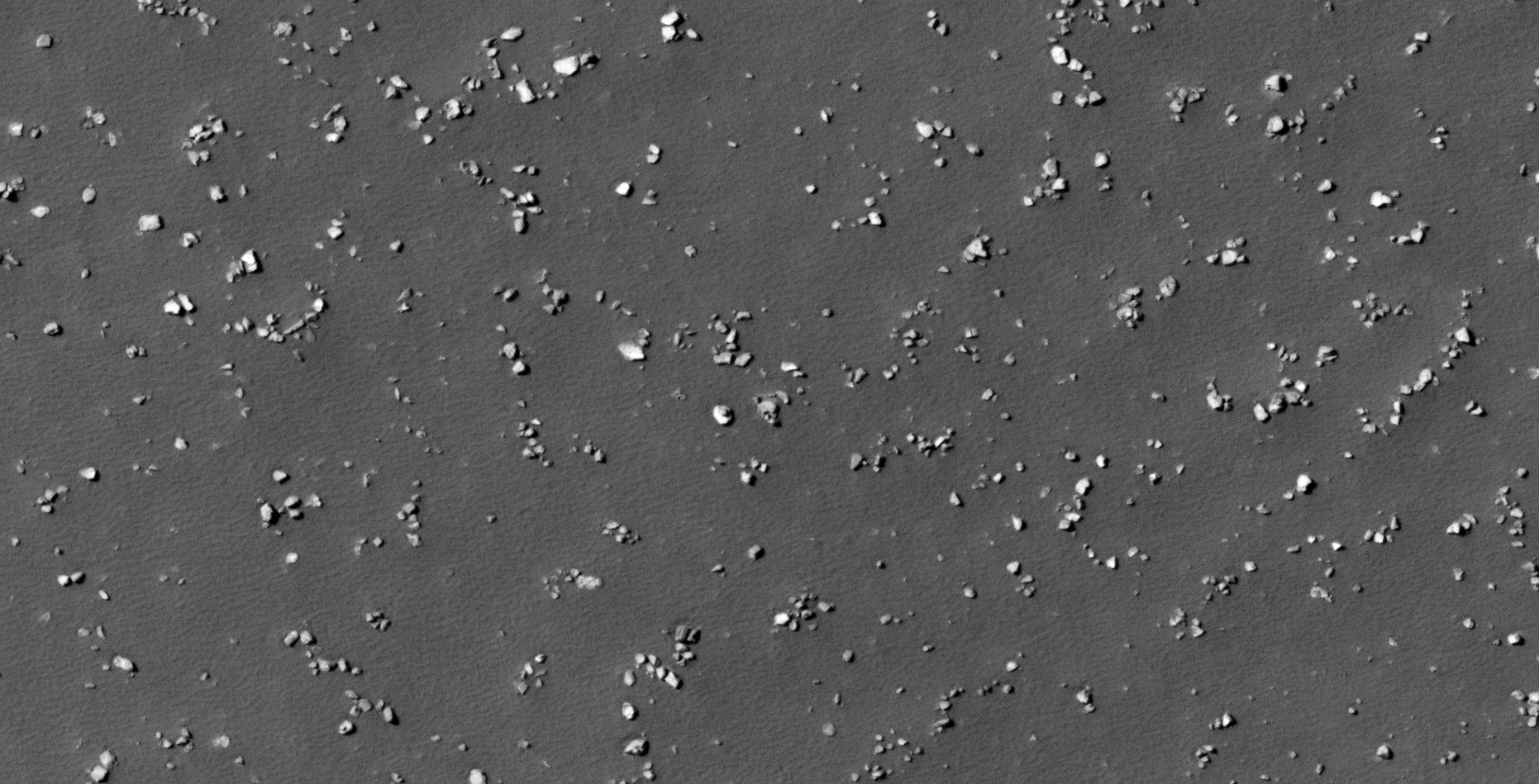
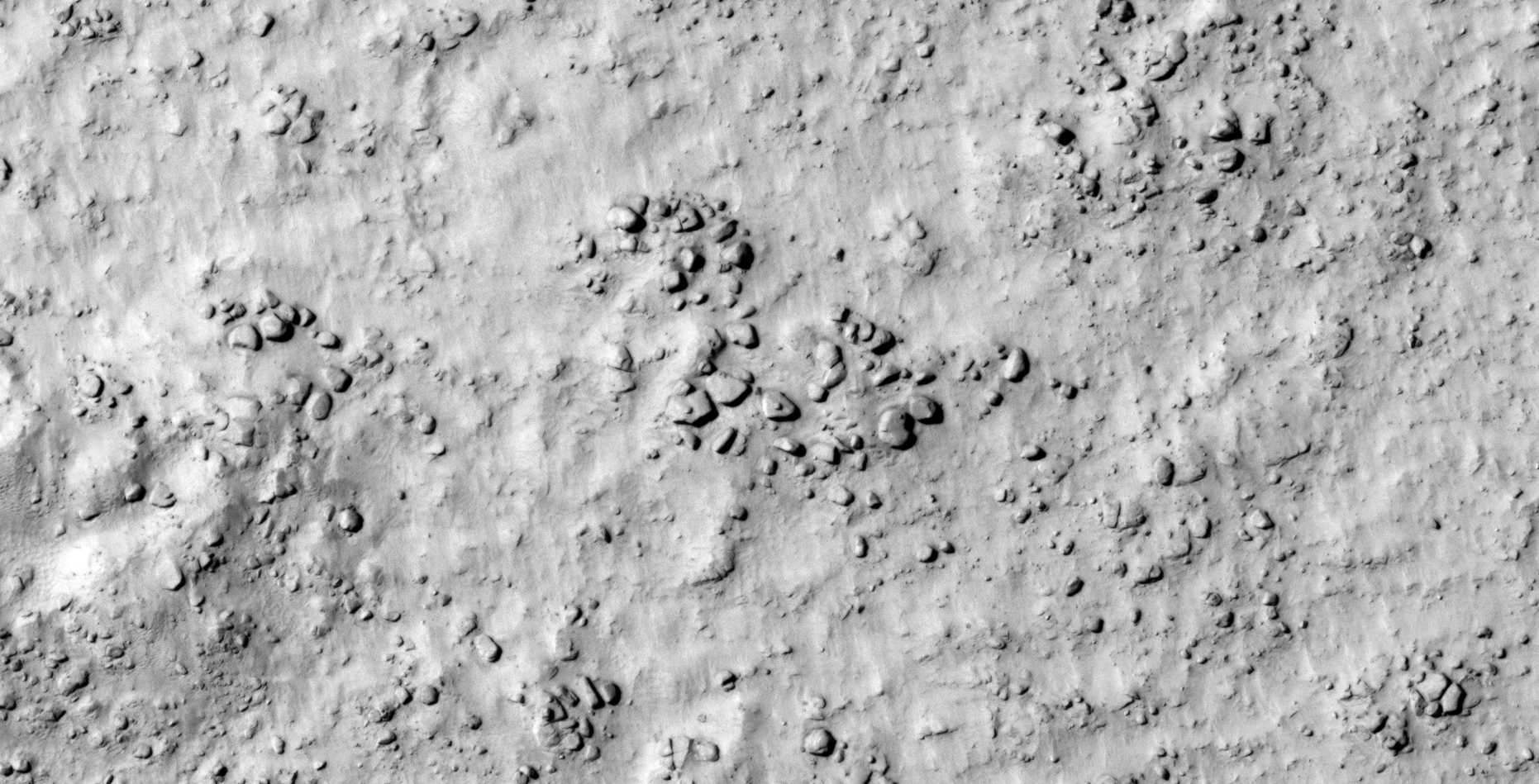
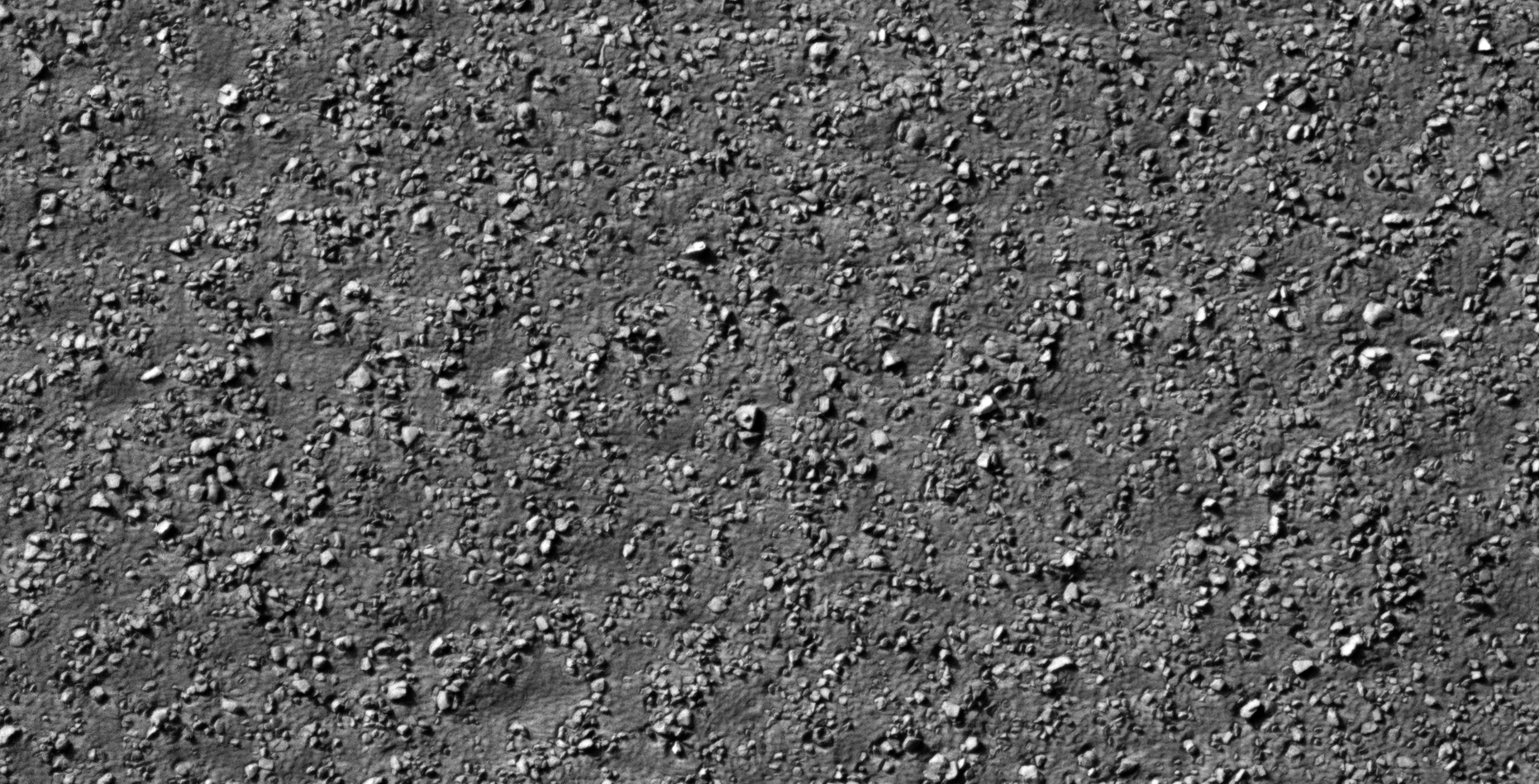
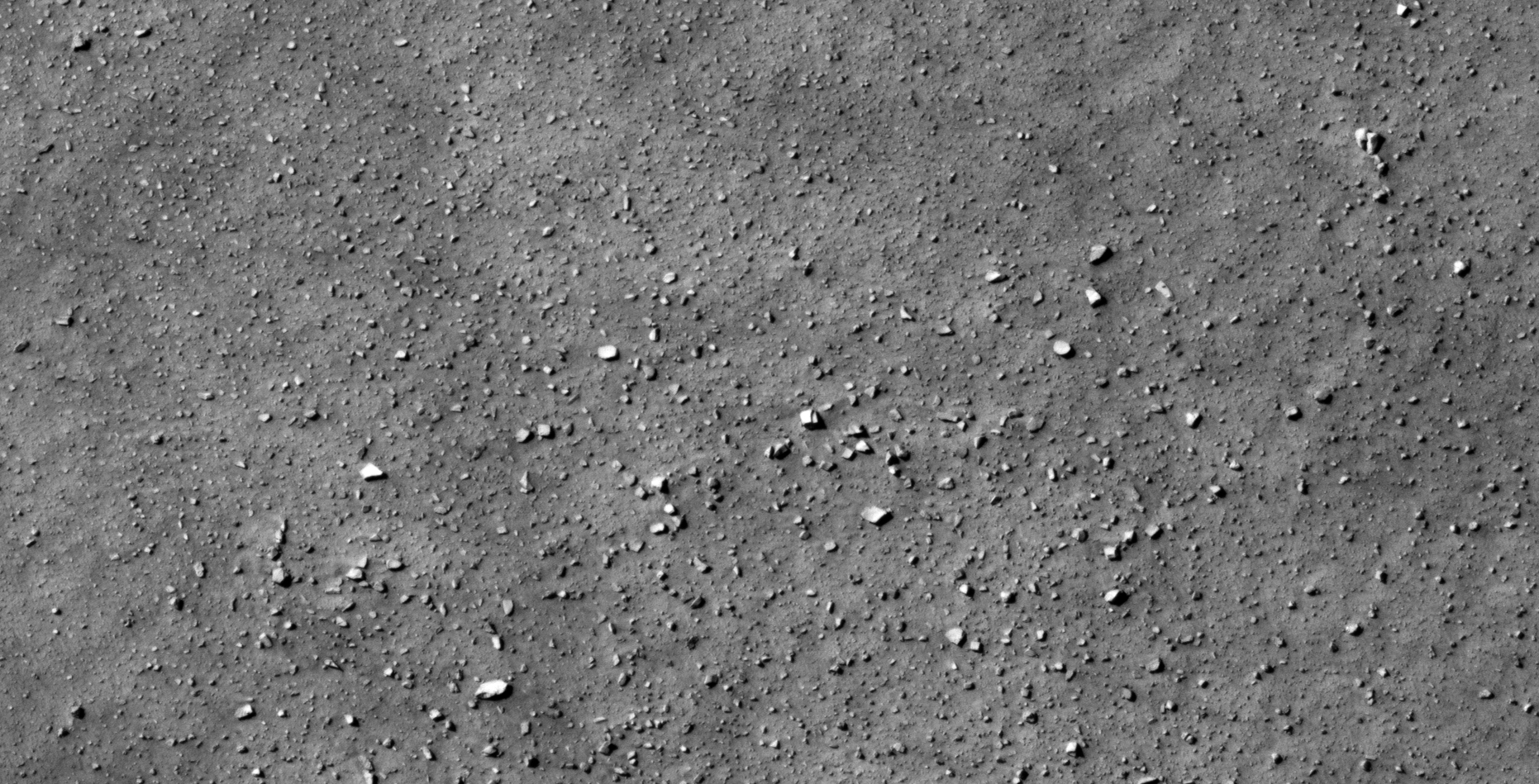
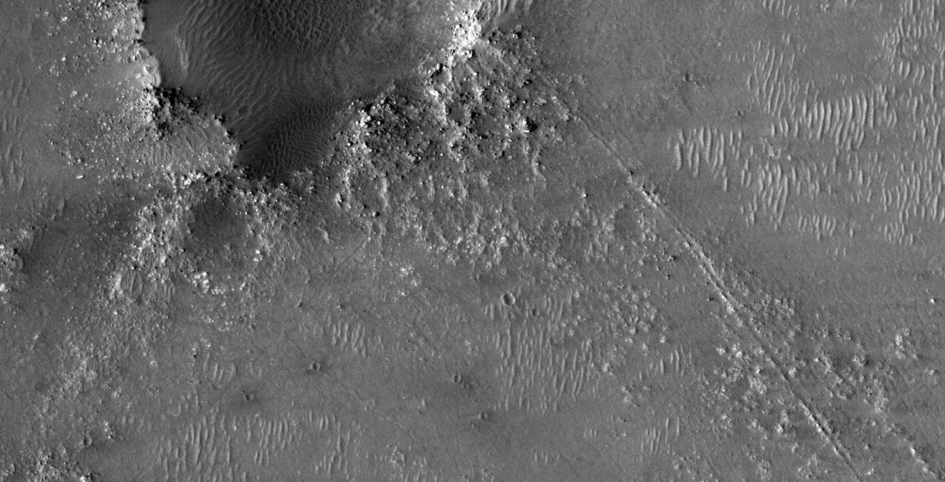
The photograph analyzed here (ESP_014118_1210) was taken by NASA’s Mars Reconnaissance Orbiter on 31 July 2009 and is described as ‘Sample Terrain.’
Anomalies found in this photograph very from megalithic to perhaps ancient fossils. There are many artefacts with knobs, domes or spheres in their centers, what might be wreckage and I even speculate ancient shell fossils.
NB: There’s also a massive rectangular container of sorts with a smaller object sticking out of the opening. The first of it’s kind I’ve discovered.
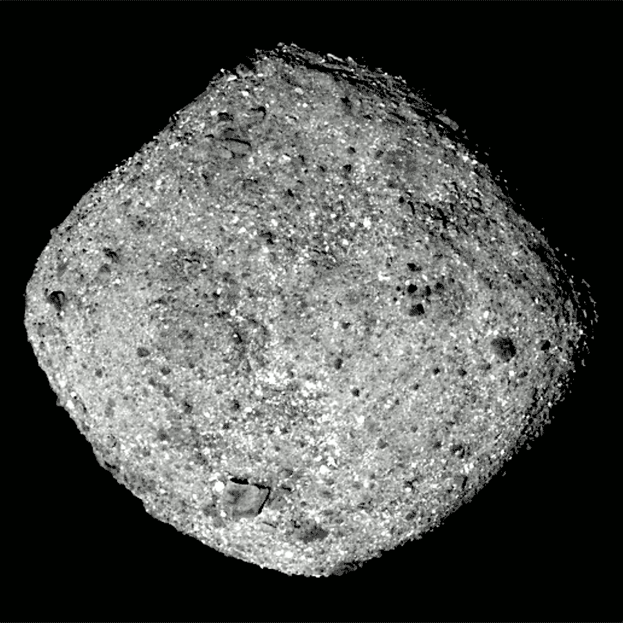
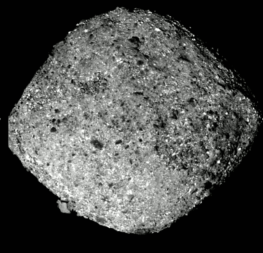
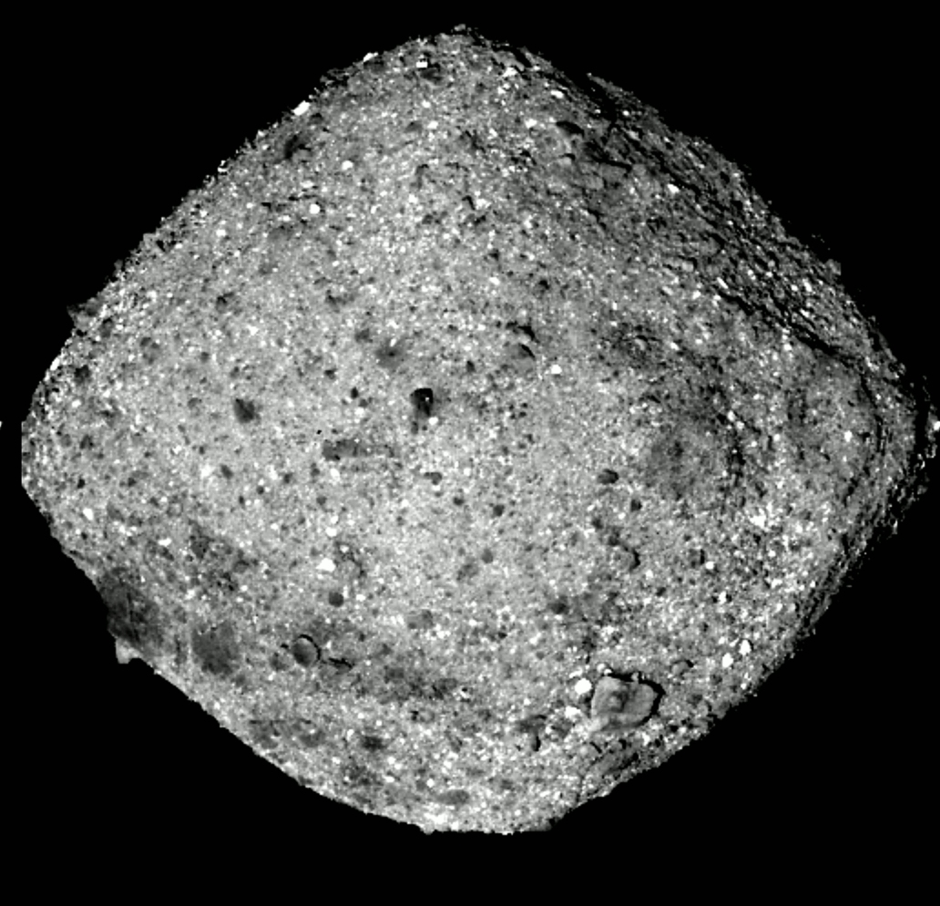
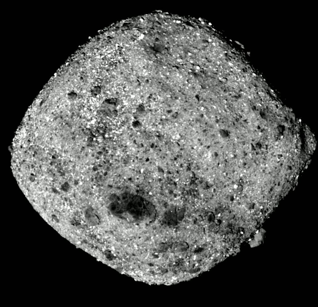
A closer look at the structure on ‘asteroid’ Bennu:
I also cover ‘asteroid’ Bennu, presenting a close-up animation I created of the structure located in the Southern region of the ‘asteroid.’
The structure on Bennu
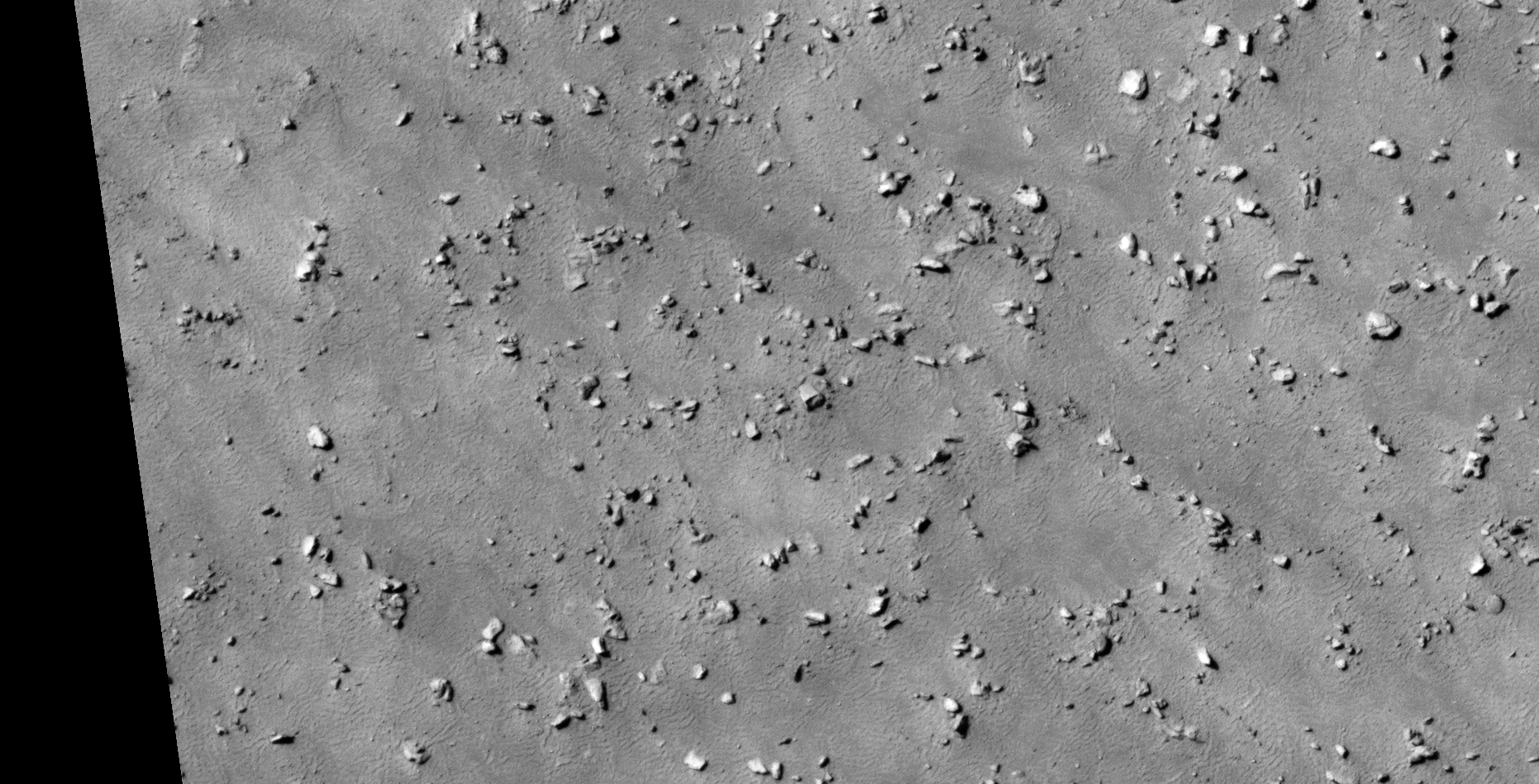
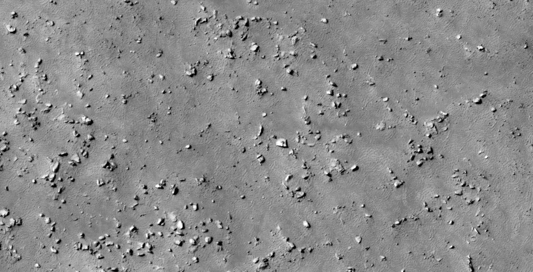
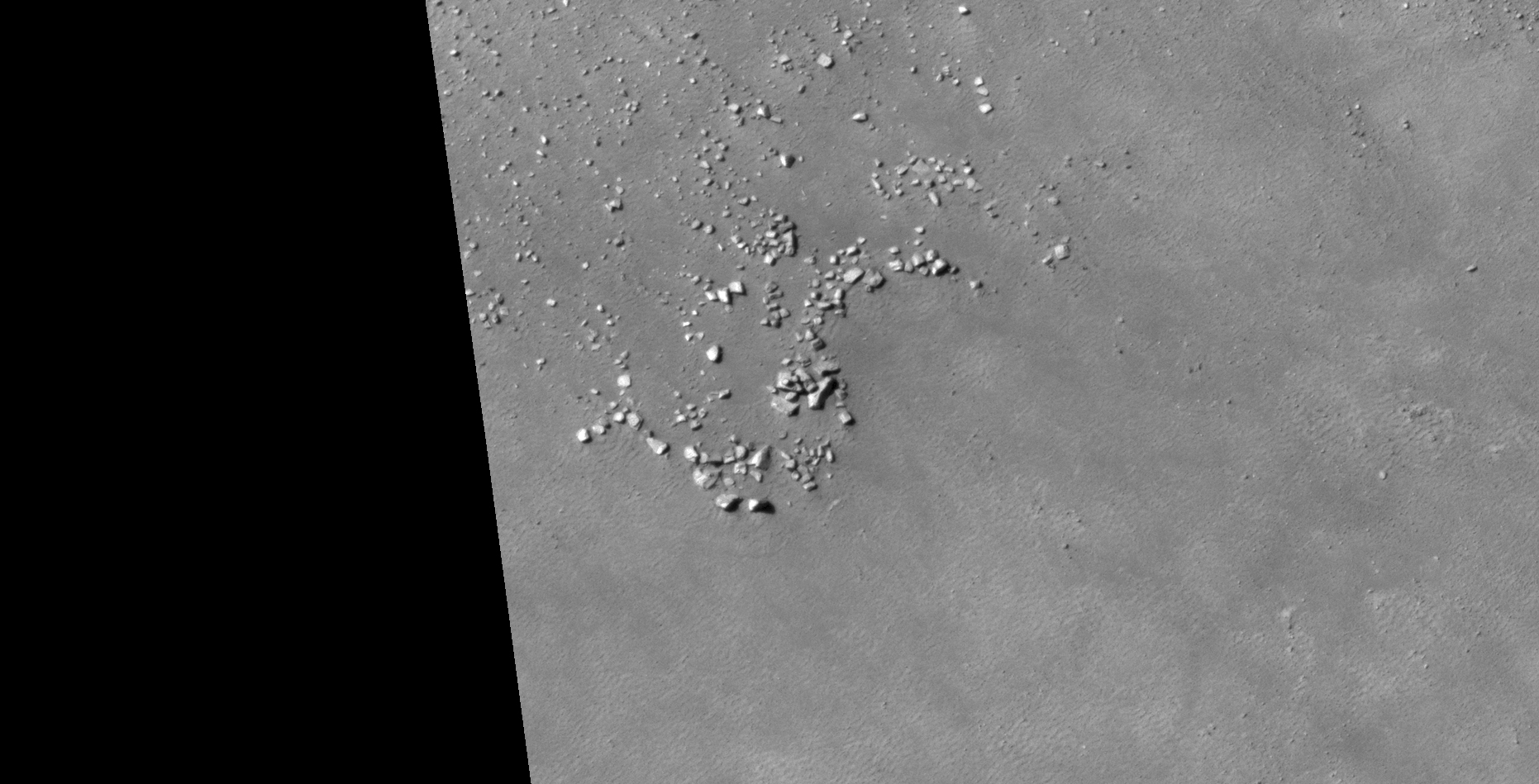
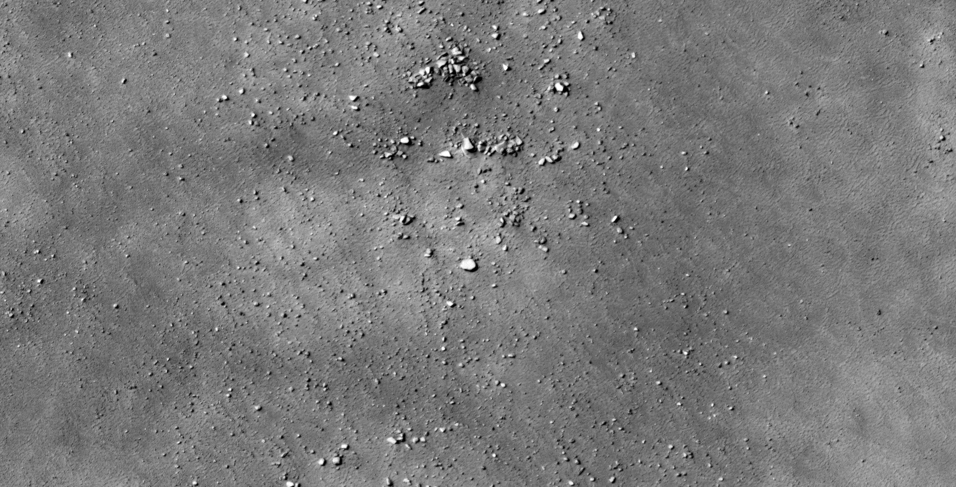
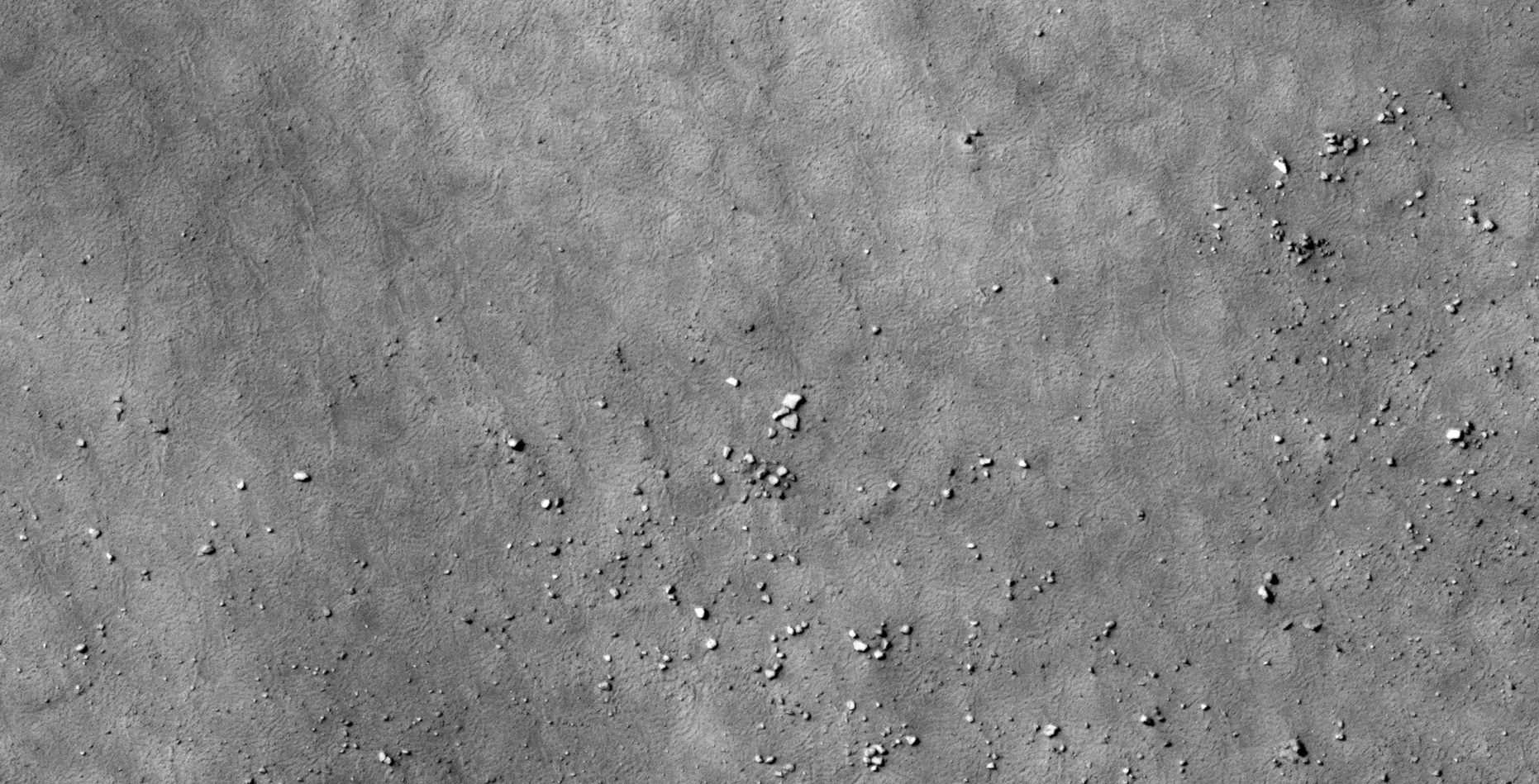
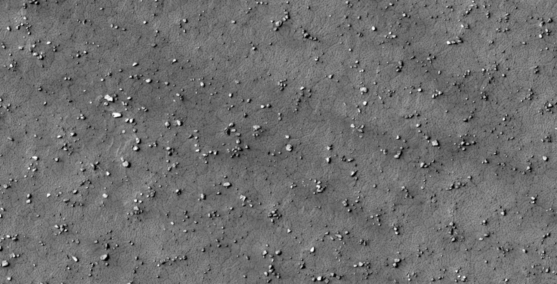
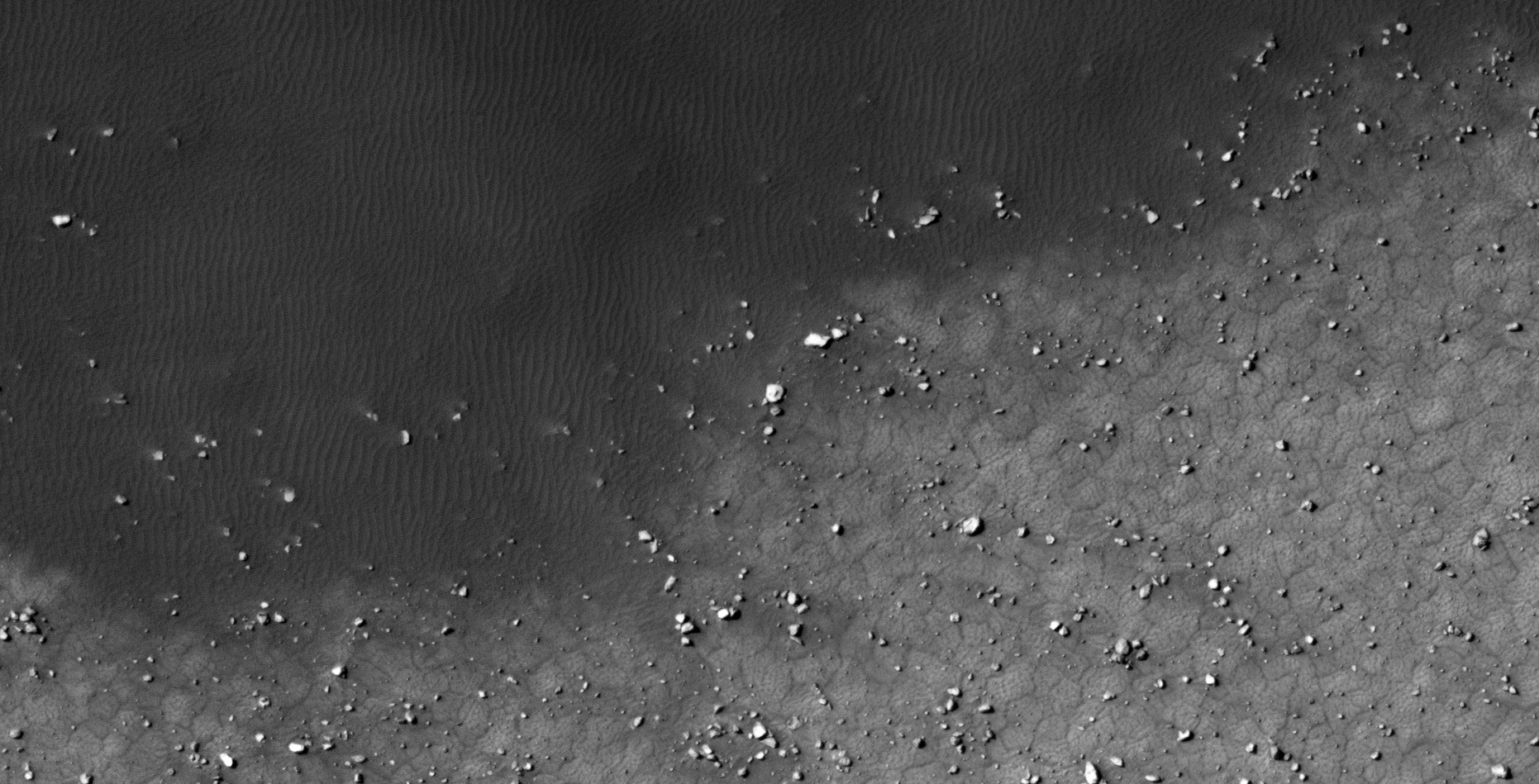
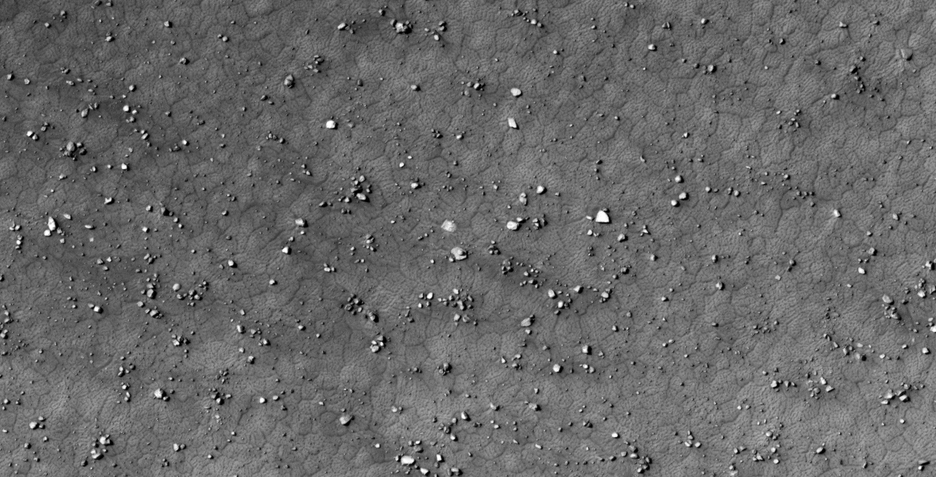
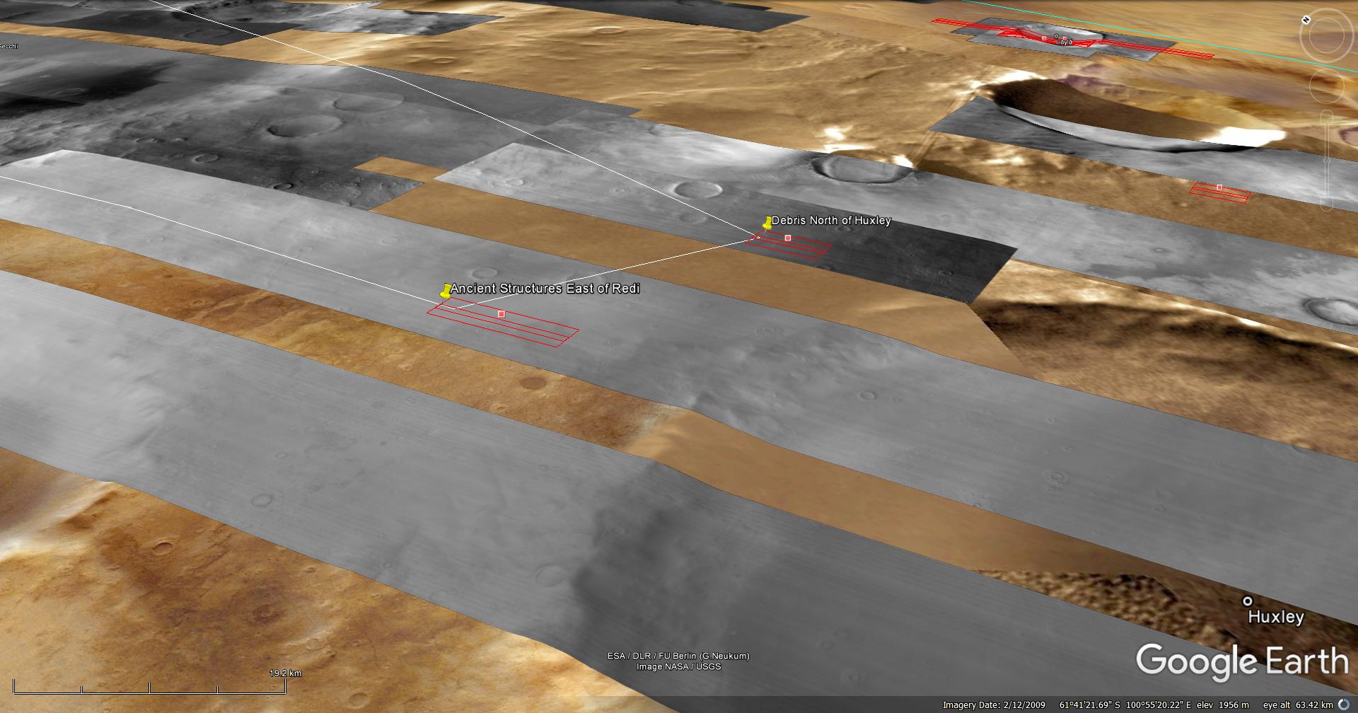
Wreckage Piles, Structures and Debris South of Kuiper on Mars:
An elevated view of this site being analyzed (click for larger image)An elevated view of this site being analyzed (click for larger image)(click for larger image)(click for larger image)(click for larger image)(click for larger image)(click for larger image)(click for larger image)(click for larger image)(click for larger image)(click for larger image)(click for larger image)(click for larger image)(click for larger image)(click for larger image)
Images saved from within HiView or CTX viewer do not include image scale indicators. The image scale indicators I include in images are based on the official resolutions provided by NASA and although I strive to be as accurate as possible there may be slight deviations from the actual scale. Image scale indicators are included as a size approximation tool only.
Geometry lines are mapped as accurately as possible using the limited information, data and mapping tools available at the time, therefore the lines may deviate from target sites by a few kilometres. Revisions may be made in the future as new, more precise information, data and mapping tools become available.
Many or all of the anomalies/artefacts covered in this presentation may be naturally occurring geological features caused by some type of geological processes, however due to the lack of specific information from the source we can only speculate whether these are all natural or some artificial in nature.
In cases where I say an anomaly looks like something I’m attempting to clarify what I see and not specifically that the anomaly is what I say it looks like.
My intention is only to share anomalies I’ve discovered on Mars and not to convince anyone that there is or was a civilization on Mars.
As Will Farrar from WhatsUpInTheSky says: “I see what I see, you see what you see.”
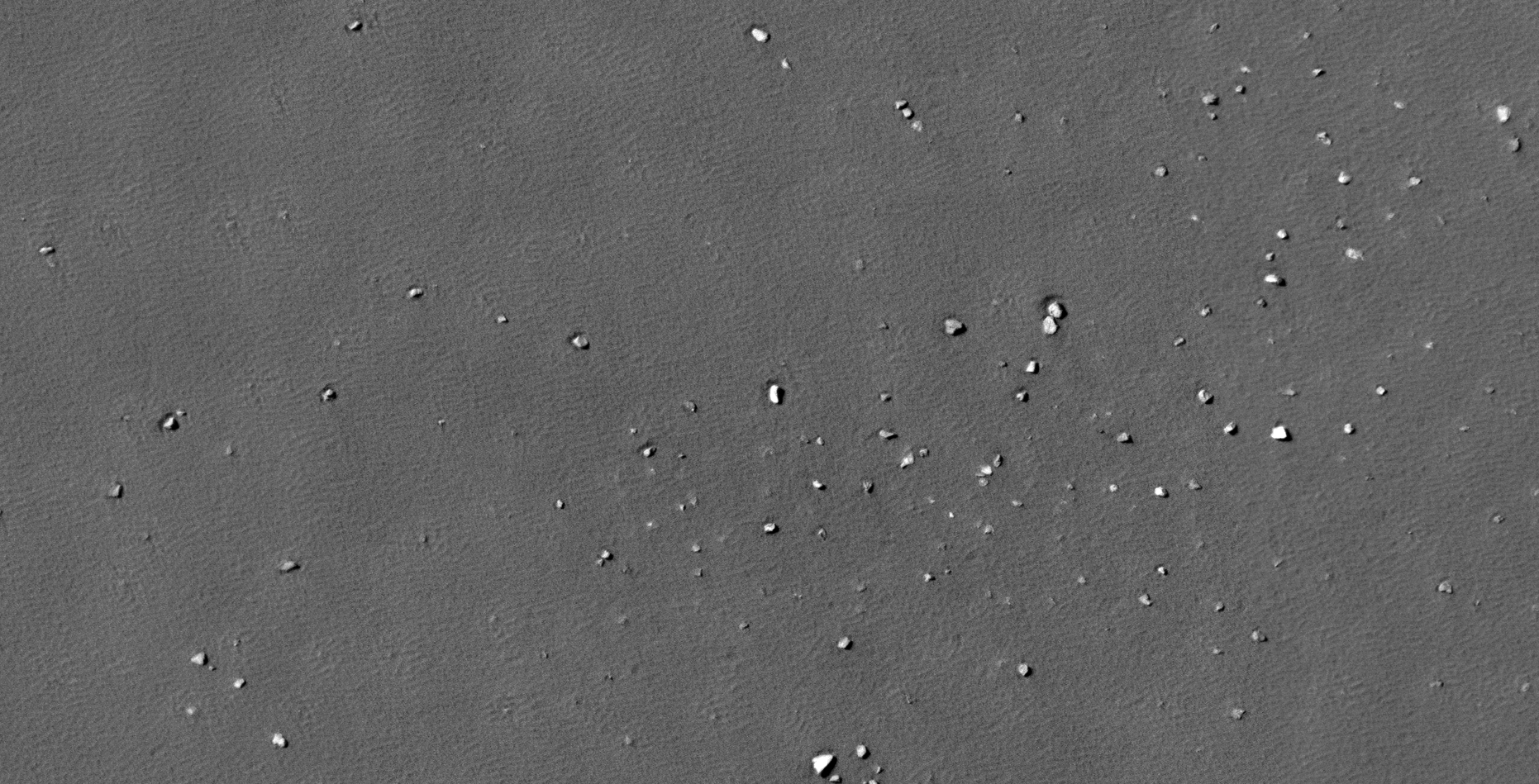
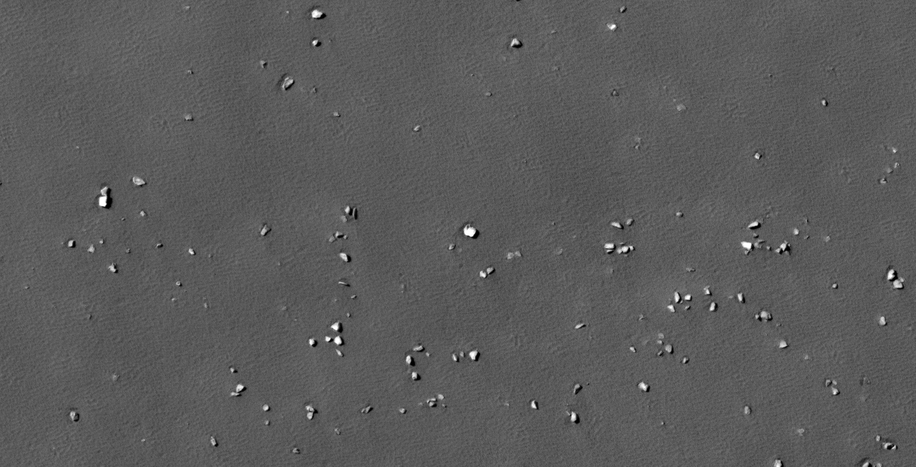
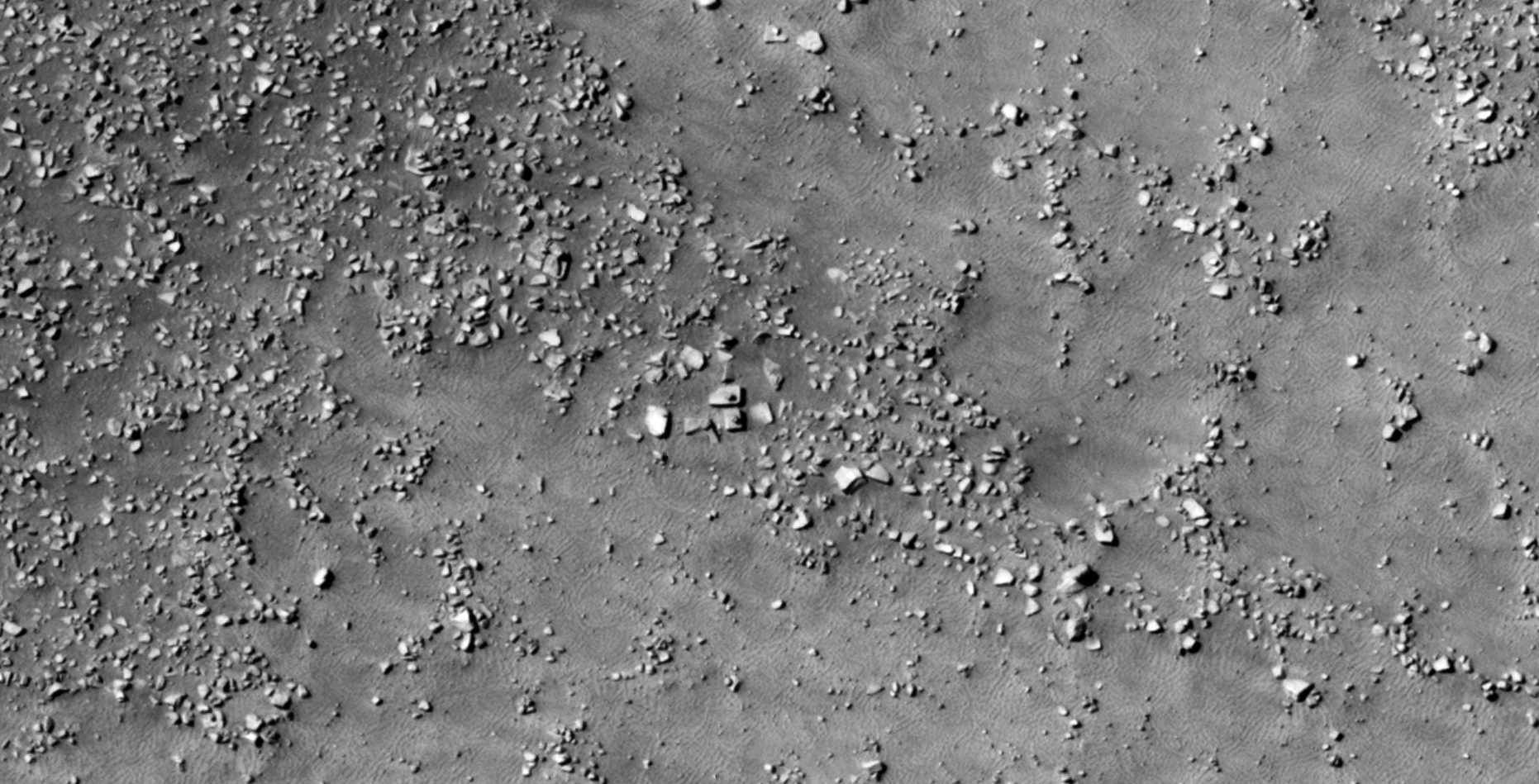
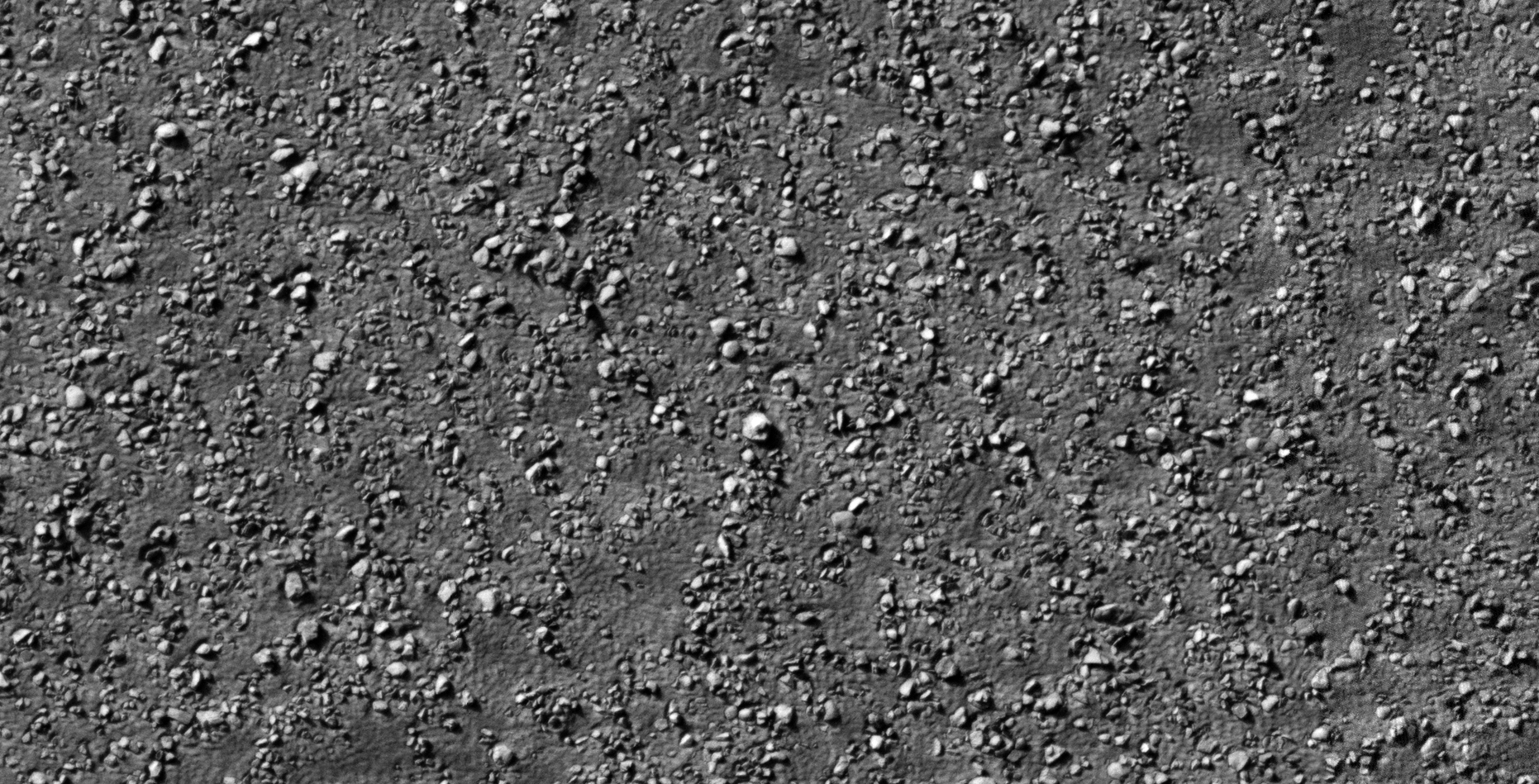
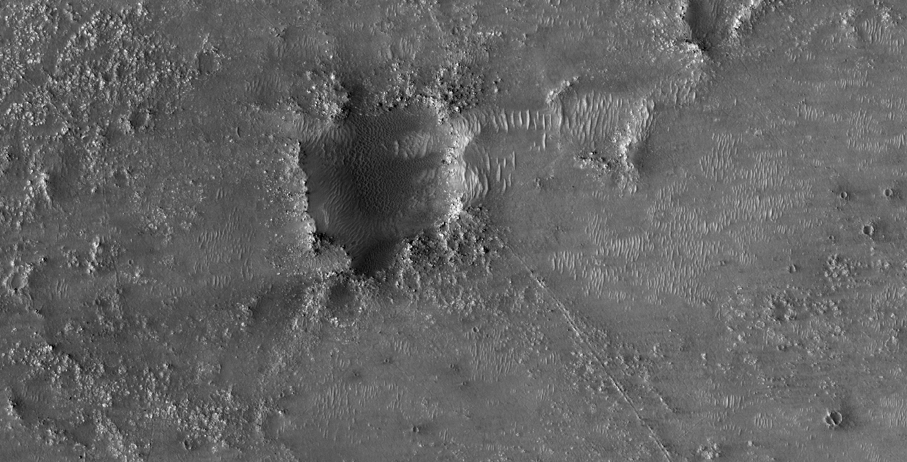
The photograph analyzed here (ESP_057289_1180) was taken by NASA’s Mars Reconnaissance Orbiter on 16 October 2018 and is described as ‘USGS Dune Database Entry Number 2484-618.’
Anomalies found in this photograph very from megalithic to perhaps ancient fossils. There are many artefacts with knobs, domes or spheres in their centers, what might be wreckage and I even speculate ancient shell fossils.
The entire area looks like it may have been under water, the broken pieces look like broken shells as seen on beaches on Earth.
An elevated view of this site being analyzed (click for larger image)(click for larger image)(click for larger image)(click for larger image)(click for larger image)(click for larger image)(click for larger image)(click for larger image)(click for larger image)(click for larger image)(click for larger image)(click for larger image)(click for larger image)(click for larger image)(click for larger image)(click for larger image)(click for larger image)(click for larger image)(click for larger image)(click for larger image)(click for larger image)(click for larger image)(click for larger image)(click for larger image)(click for larger image)(click for larger image)(click for larger image)(click for larger image)(click for larger image)(click for larger image)(click for larger image)(click for larger image)(click for larger image)(click for larger image)(click for larger image)
Images saved from within HiView or CTX viewer do not include image scale indicators. The image scale indicators I include in images are based on the official resolutions provided by NASA and although I strive to be as accurate as possible there may be slight deviations from the actual scale. Image scale indicators are included as a size approximation tool only.
Geometry lines are mapped as accurately as possible using the limited information, data and mapping tools available at the time, therefore the lines may deviate from target sites by a few kilometres. Revisions may be made in the future as new, more precise information, data and mapping tools become available.
Many or all of the anomalies/artefacts covered in this presentation may be naturally occurring geological features caused by some type of geological processes, however due to the lack of specific information from the source we can only speculate whether these are all natural or some artificial in nature.
In cases where I say an anomaly looks like something I’m attempting to clarify what I see and not specifically that the anomaly is what I say it looks like.
My intention is only to share anomalies I’ve discovered on Mars and not to convince anyone that there is or was a civilization on Mars.
As Will Farrar from WhatsUpInTheSky says: “I see what I see, you see what you see.”
Yet further evidence of what appears to be a structure with a knob, small dome or feature in the center, this time on an asteroid called Bennu.
The anomaly on Bennu looks very similar to others I have found on Mars. Then there are those megaliths with knobs on Earth.
The odd shape of Bennu also might hold a clue to what it might be … it looks like two cones joined back-to-back in the shape of a top. When viewed from above it probably appears round. Could Bennu be an ancient craft or structure of some type?
Could this perhaps be evidence that the Ancient Builder Race exists and that they erected structures on the Moons and Planets throughout the solar system?
An animation of all the frames taken of the ‘asteroid’ Credit: NASA
A closer look at Bennu:
Images will be uploaded here within the next day or two.
The anomaly located to the left of the ‘asteroid’ Credit: NASA (click for larger image)The anomaly located to the center of the ‘asteroid’ Credit: NASA (click for larger image)The anomaly located to the right of the ‘asteroid’ Credit: NASA (click for larger image)
Examples of similar structures found on Mars:
There are many examples of similar anomalies I discovered on Mars, below are just a select few for comparison (the geometry and size are almost a perfect match):
ESP_019094_2255 (click for larger image)ESP_022797_1370 (click for larger image)ESP_013864_1220 (click for larger image)
Below is the one of the strangest, similar structures I found on Mars:
ESP_013864_1220 (click for larger image)
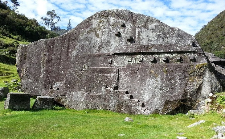
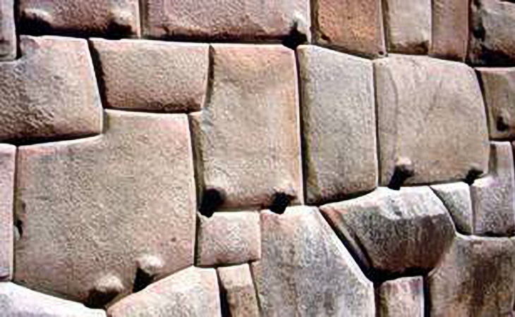
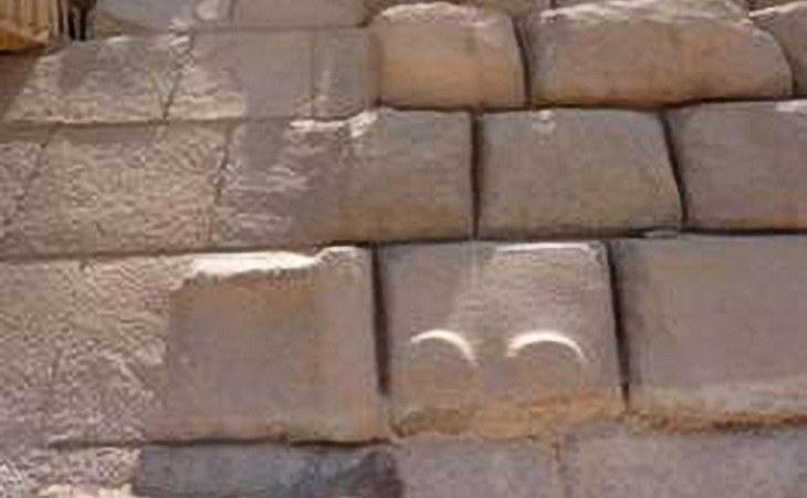
Examples of similar structures found on Earth:
Close examination of the megalithic blocks on Mars show that most have small knobs, not unlike those found on Earth. Researchers studying ancient ruins on Earth are perplexed about the presence of the knobs found on most megaliths making up these ancient structures.
Vilcabamba: The ‘lost’ megalithic city of the inca. Source: ancient-code.comKnobs at Cuzco, PeruKnobs at Menkaure’s pyramid, Egypt
Images saved from within HiView or CTX viewer do not include image scale indicators. The image scale indicators I include in images are based on the official resolutions provided by NASA and although I strive to be as accurate as possible there may be slight deviations from the actual scale. Image scale indicators are included as a size approximation tool only.
Geometry lines are mapped as accurately as possible using the limited information, data and mapping tools available at the time, therefore the lines may deviate from target sites by a few kilometres. Revisions may be made in the future as new, more precise information, data and mapping tools become available.
Many or all of the anomalies/artefacts covered in this presentation may be naturally occurring geological features caused by some type of geological processes, however due to the lack of specific information from the source we can only speculate whether these are all natural or some artificial in nature.
In cases where I say an anomaly looks like something I’m attempting to clarify what I see and not specifically that the anomaly is what I say it looks like.
My intention is only to share anomalies I’ve discovered on Mars and not to convince anyone that there is or was a civilization on Mars.
As Will Farrar from WhatsUpInTheSky says: “I see what I see, you see what you see.”
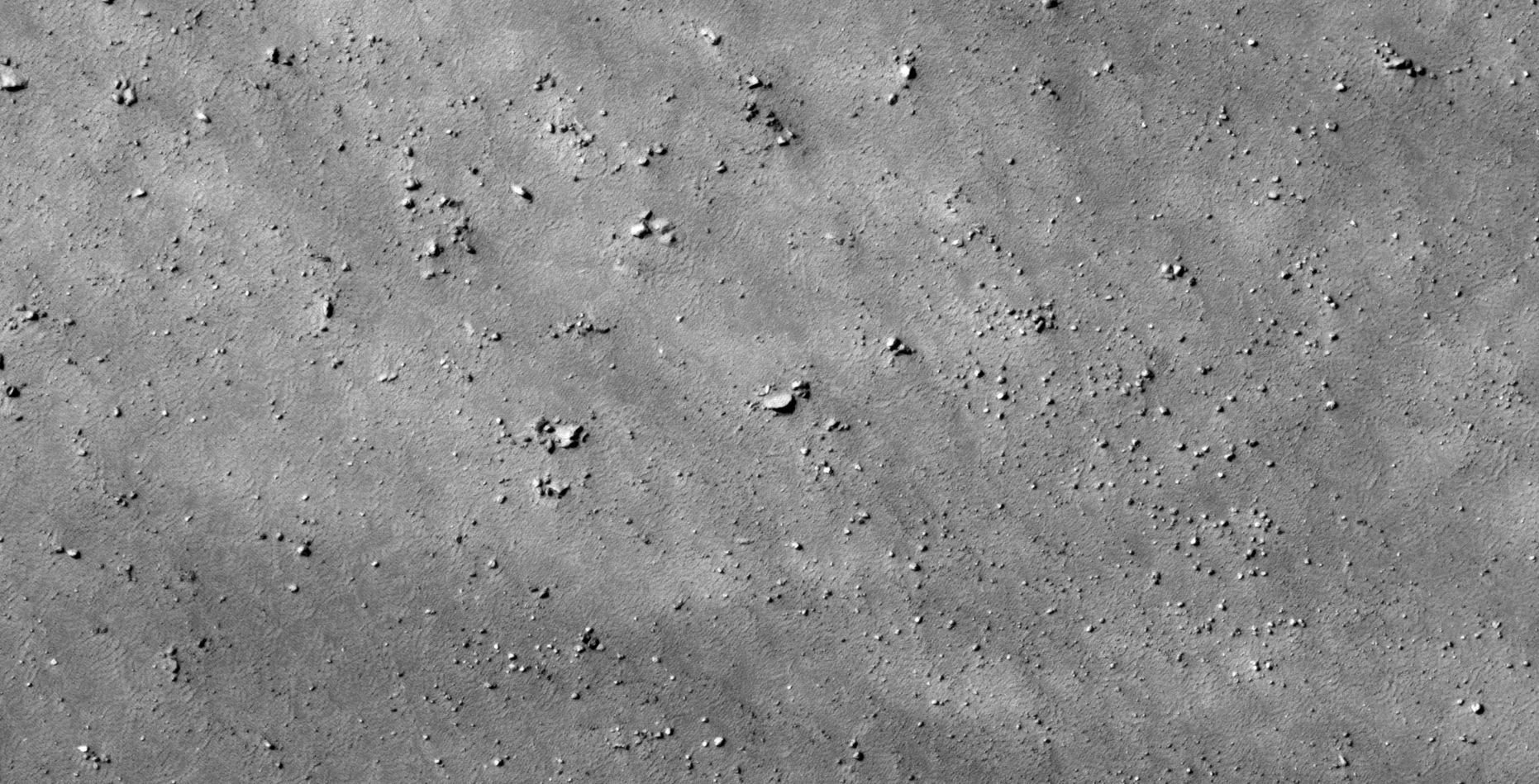
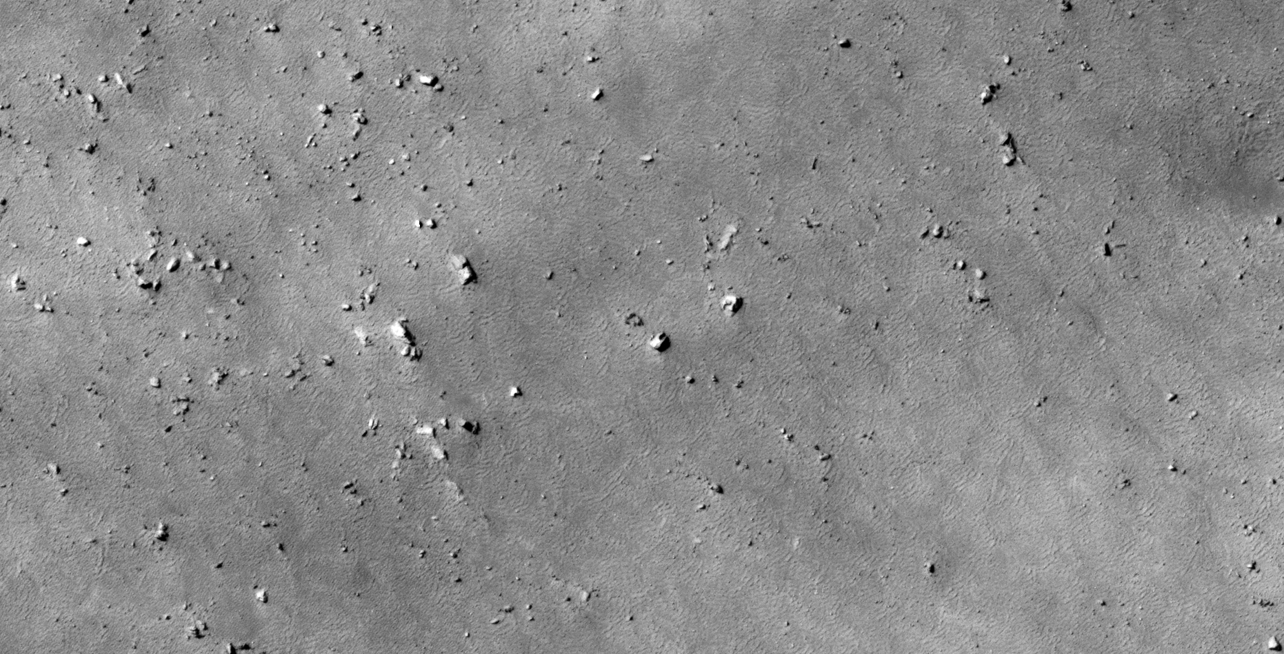
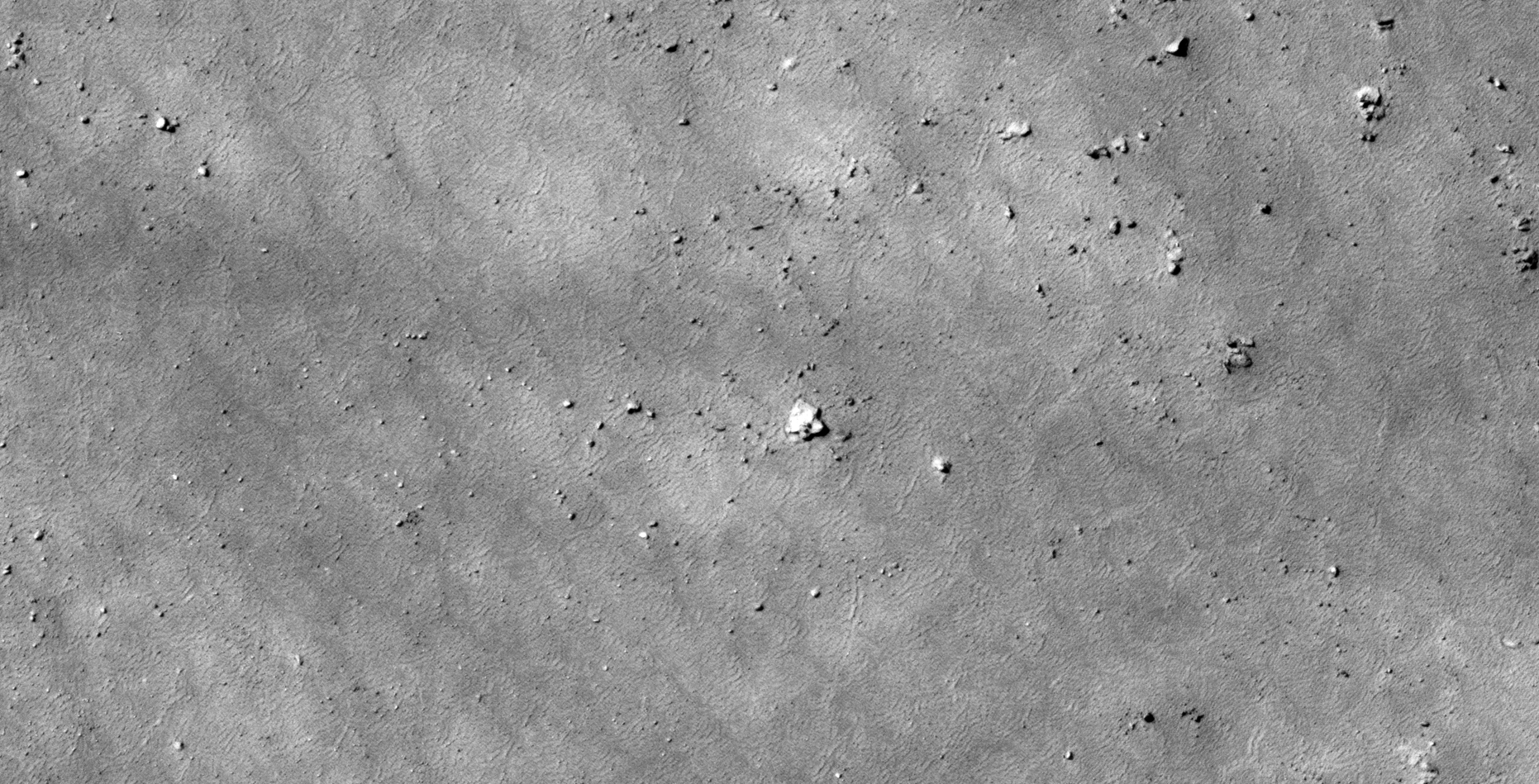
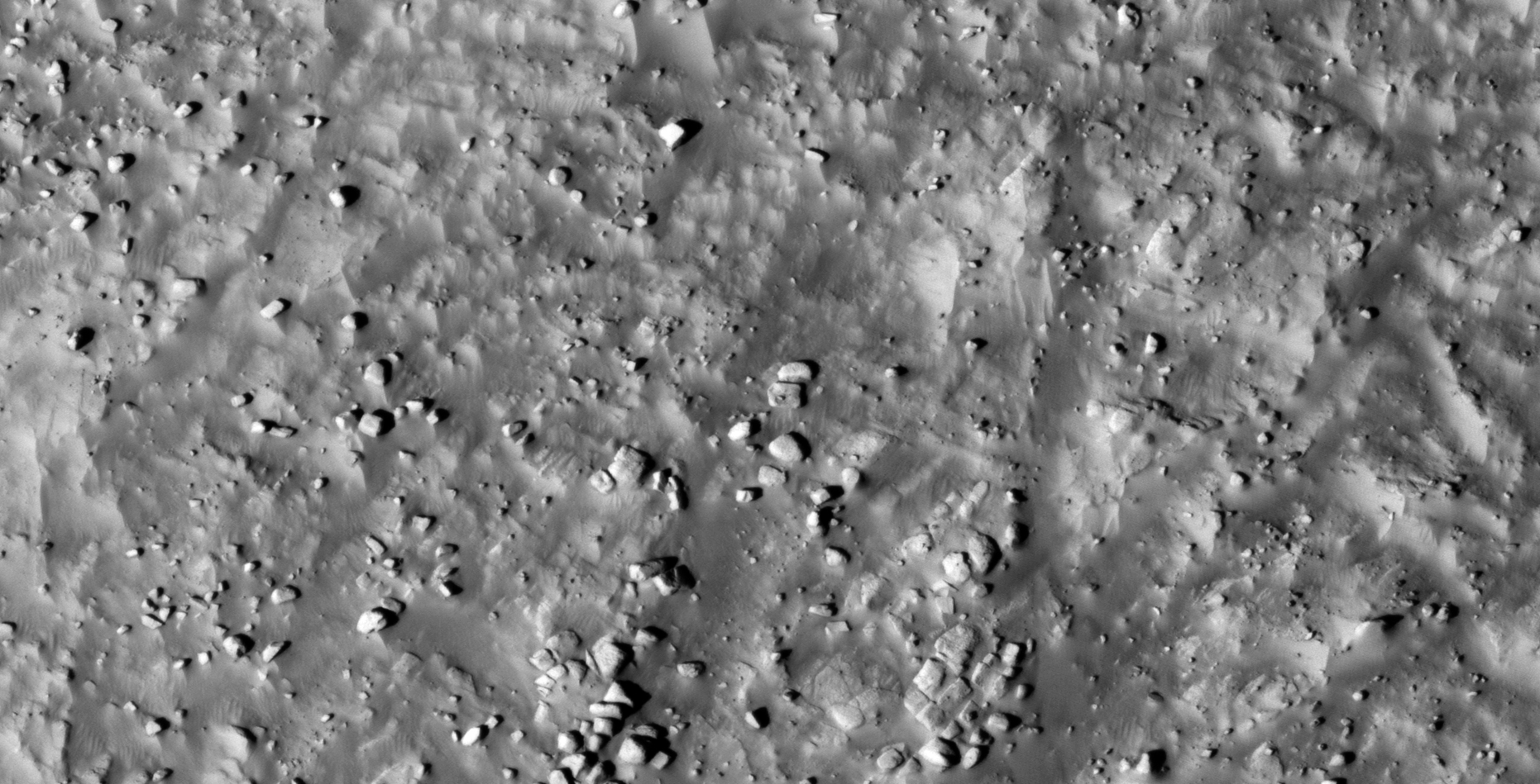
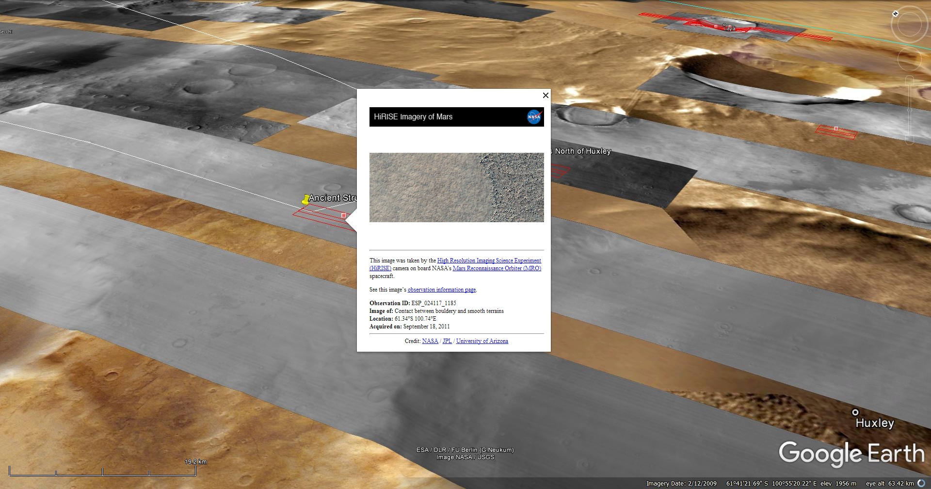
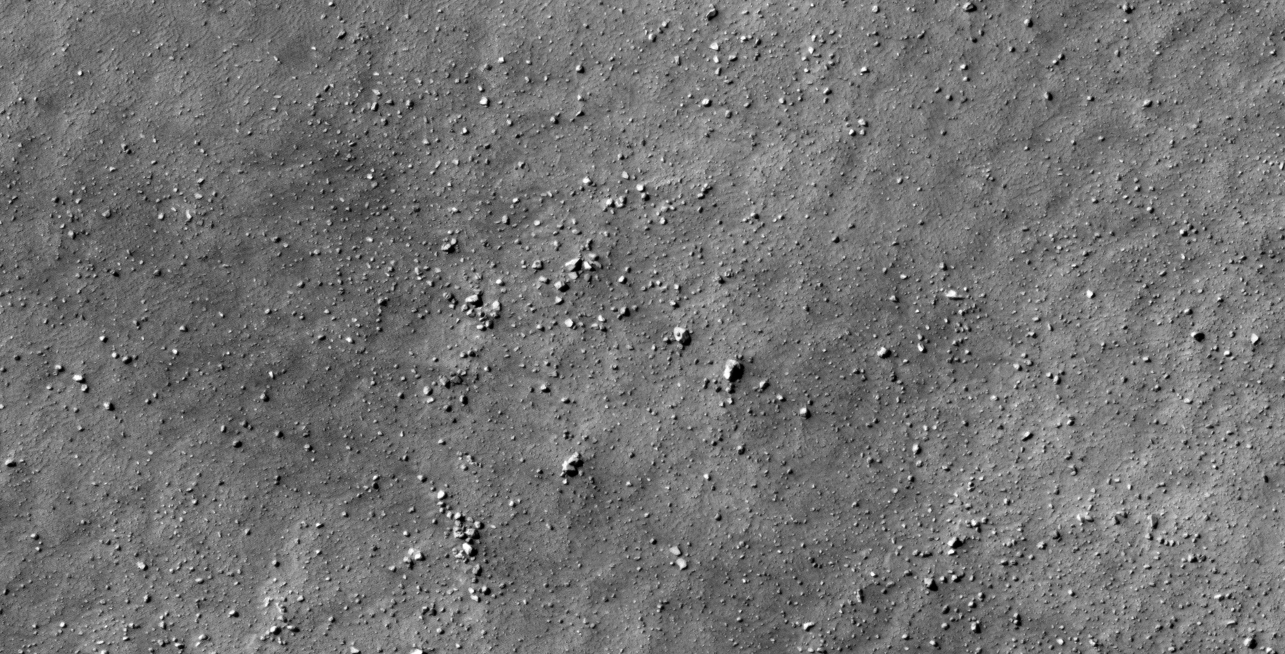
The photograph analyzed here (ESP_024117_1185) was taken by NASA’s Mars Reconnaissance Orbiter on 18 September 2011 and is described as ‘Contact between Bouldery and Smooth Terrains’
Anomalies found in this photograph include structures with small domes or knobs in their centers as well as artefacts that appear to be machines and/or wreckage.
An elevated view of this site being analyzed (click for larger image)An elevated view of this site being analyzed (click for larger image)(click for larger image)(click for larger image)(click for larger image)(click for larger image)(click for larger image)(click for larger image)(click for larger image)(click for larger image)(click for larger image)(click for larger image)(click for larger image)(click for larger image)(click for larger image)(click for larger image)(click for larger image)(click for larger image)(click for larger image)(click for larger image)(click for larger image)(click for larger image)(click for larger image)(click for larger image)(click for larger image)(click for larger image)(click for larger image)(click for larger image)
Images saved from within HiView or CTX viewer do not include image scale indicators. The image scale indicators I include in images are based on the official resolutions provided by NASA and although I strive to be as accurate as possible there may be slight deviations from the actual scale. Image scale indicators are included as a size approximation tool only.
Geometry lines are mapped as accurately as possible using the limited information, data and mapping tools available at the time, therefore the lines may deviate from target sites by a few kilometres. Revisions may be made in the future as new, more precise information, data and mapping tools become available.
Many or all of the anomalies/artefacts covered in this presentation may be naturally occurring geological features caused by some type of geological processes, however due to the lack of specific information from the source we can only speculate whether these are all natural or some artificial in nature.
In cases where I say an anomaly looks like something I’m attempting to clarify what I see and not specifically that the anomaly is what I say it looks like.
My intention is only to share anomalies I’ve discovered on Mars and not to convince anyone that there is or was a civilization on Mars.
As Will Farrar from WhatsUpInTheSky says: “I see what I see, you see what you see.”
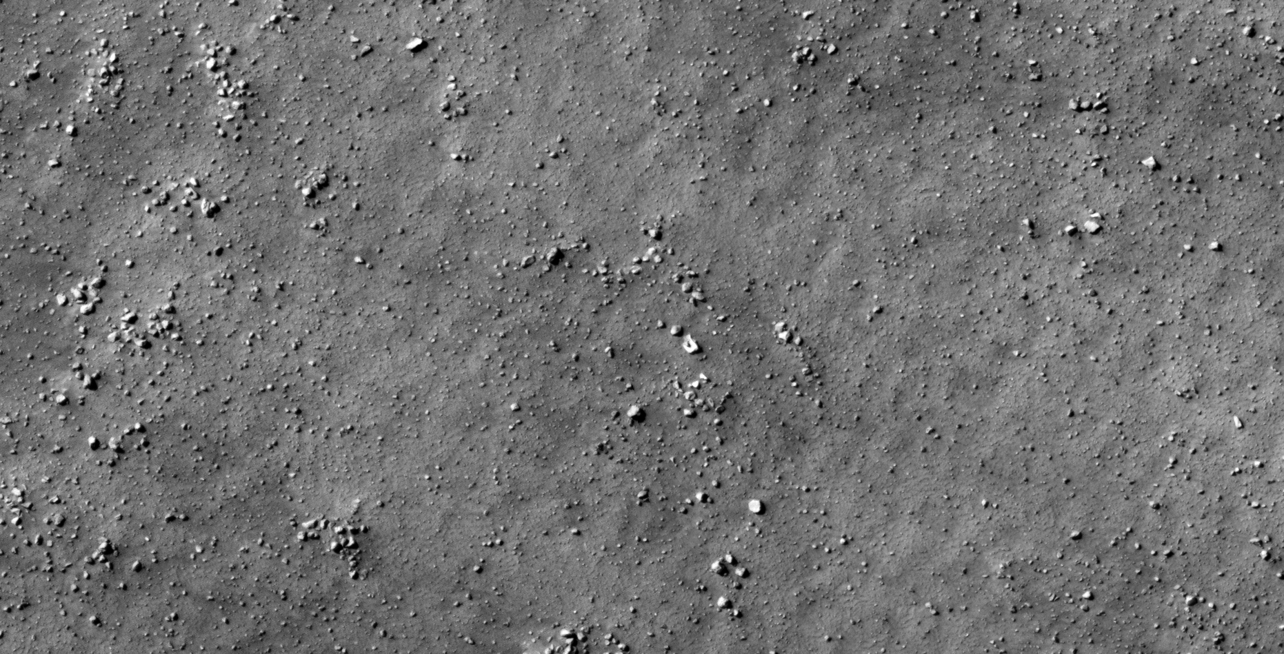
The photograph analyzed here (ESP_024117_1185) was taken by NASA’s Mars Reconnaissance Orbiter on 18 September 2011 and is described as ‘Contact between Bouldery and Smooth Terrains’
Anomalies found in this photograph include structures with small domes or knobs in their centers as well as artefacts that appear to be machines and/or wreckage.
An elevated view of this site being analyzed (click for larger image)An elevated view of this site being analyzed (click for larger image)(click for larger image)(click for larger image)(click for larger image)(click for larger image)(click for larger image)(click for larger image)(click for larger image)(click for larger image)(click for larger image)(click for larger image)(click for larger image)(click for larger image)(click for larger image)(click for larger image)(click for larger image)(click for larger image)(click for larger image)(click for larger image)(click for larger image)(click for larger image)(click for larger image)(click for larger image)(click for larger image)(click for larger image)(click for larger image)(click for larger image)(click for larger image)(click for larger image)
Images saved from within HiView or CTX viewer do not include image scale indicators. The image scale indicators I include in images are based on the official resolutions provided by NASA and although I strive to be as accurate as possible there may be slight deviations from the actual scale. Image scale indicators are included as a size approximation tool only.
Geometry lines are mapped as accurately as possible using the limited information, data and mapping tools available at the time, therefore the lines may deviate from target sites by a few kilometres. Revisions may be made in the future as new, more precise information, data and mapping tools become available.
Many or all of the anomalies/artefacts covered in this presentation may be naturally occurring geological features caused by some type of geological processes, however due to the lack of specific information from the source we can only speculate whether these are all natural or some artificial in nature.
In cases where I say an anomaly looks like something I’m attempting to clarify what I see and not specifically that the anomaly is what I say it looks like.
My intention is only to share anomalies I’ve discovered on Mars and not to convince anyone that there is or was a civilization on Mars.
As Will Farrar from WhatsUpInTheSky says: “I see what I see, you see what you see.”
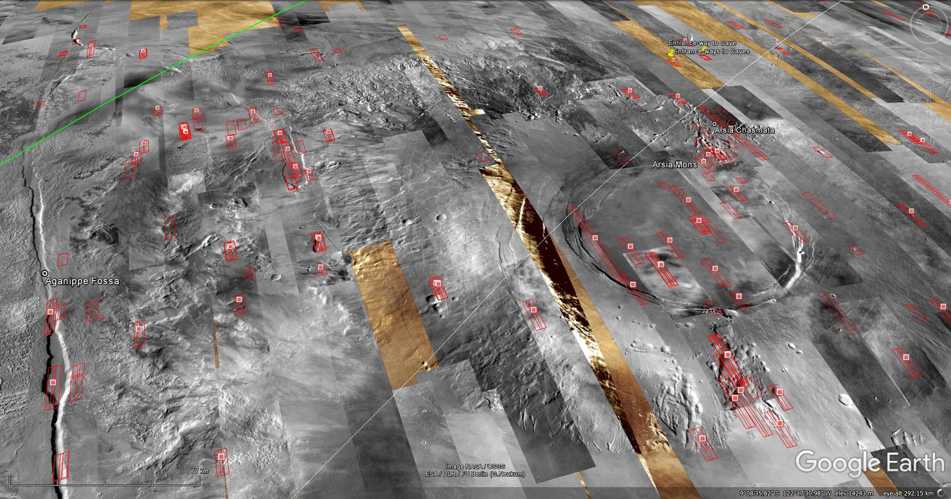
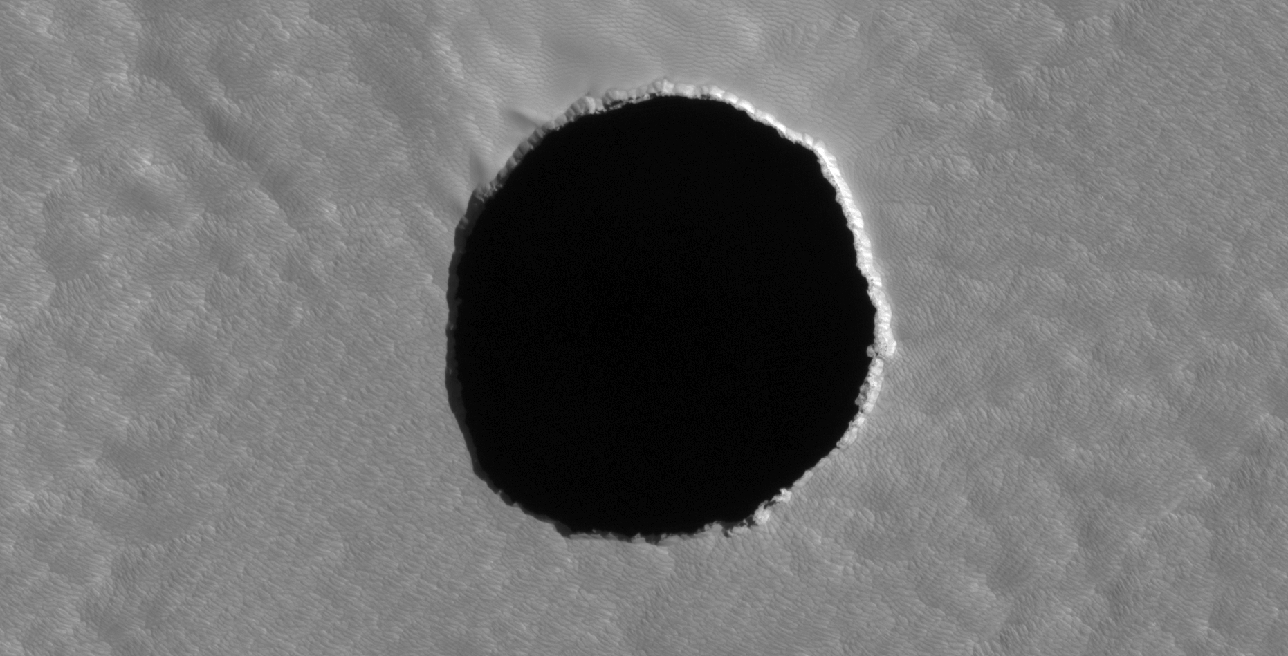
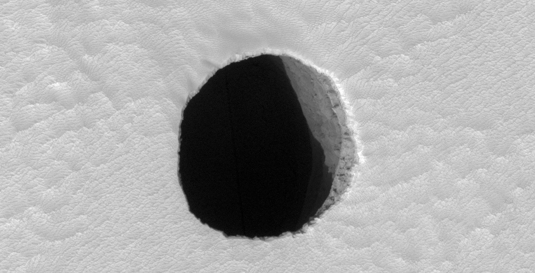
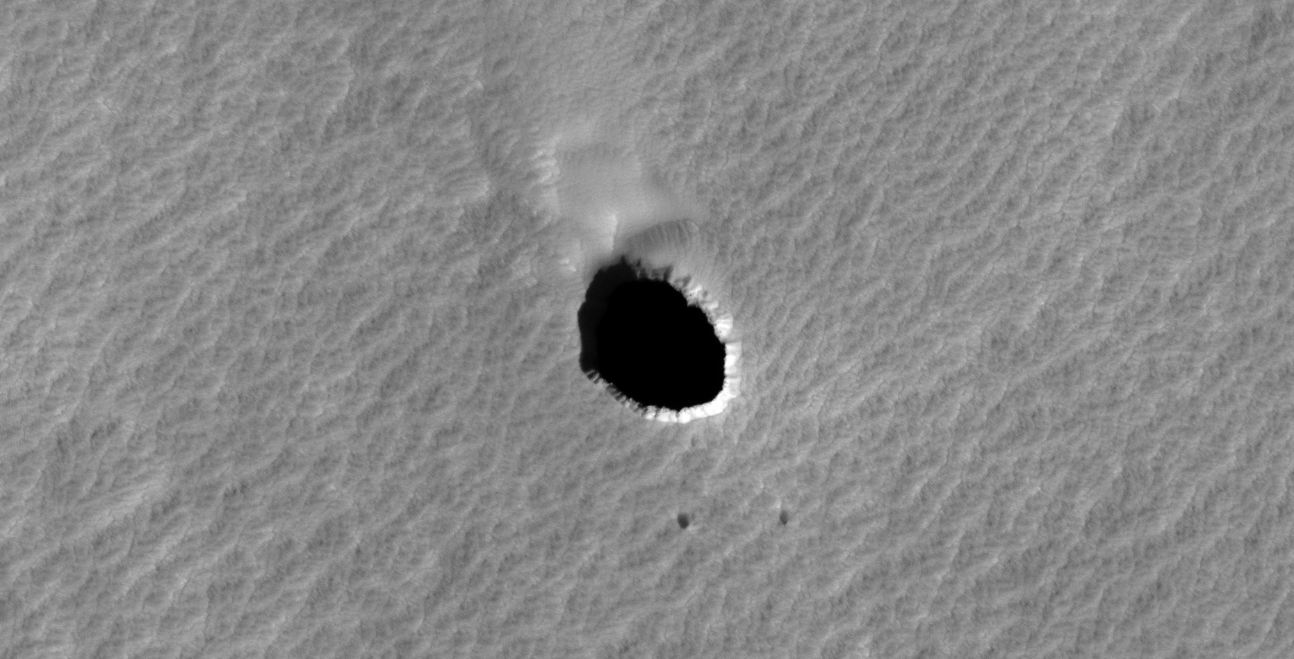
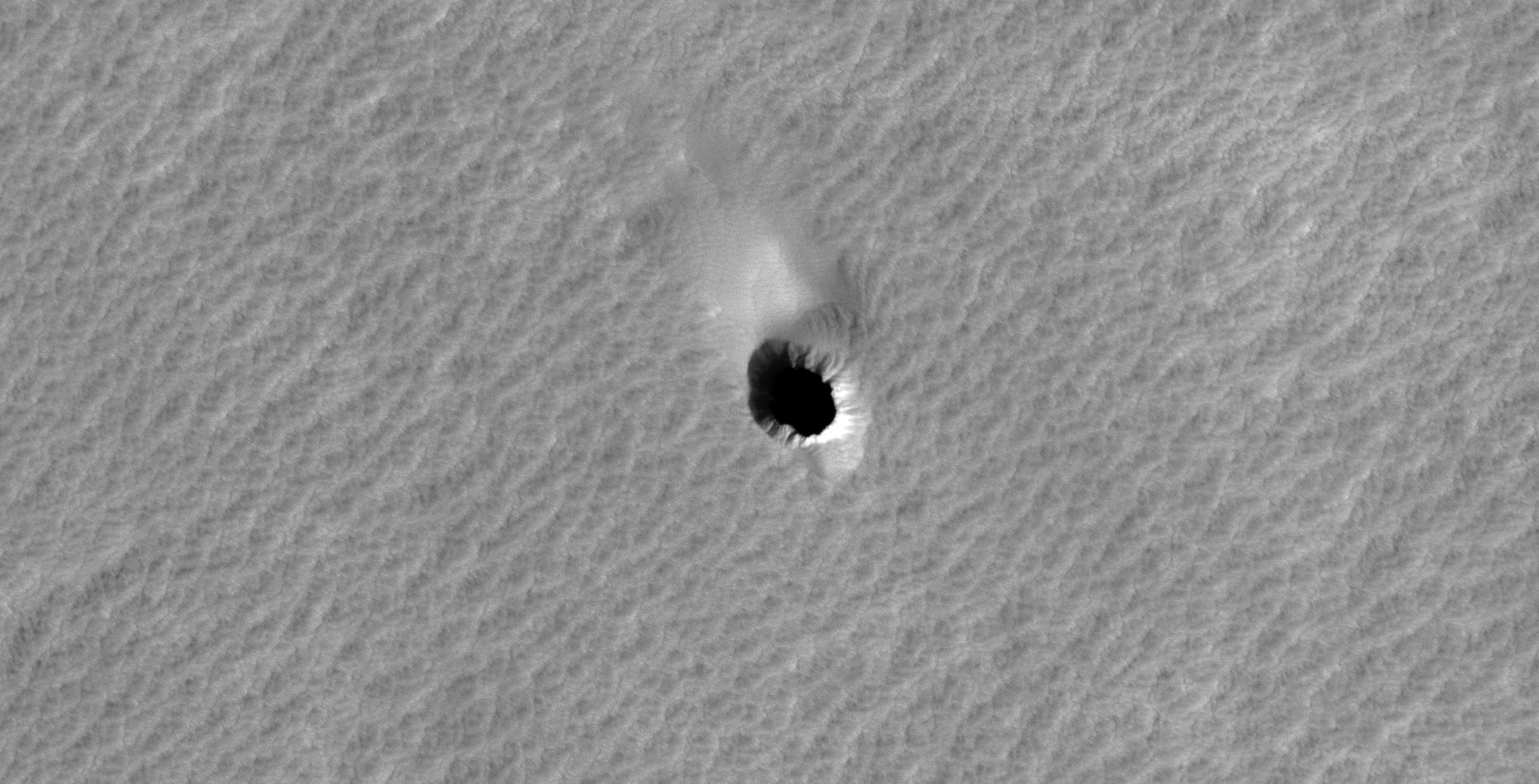
Arsia Mons has been in the news lately with the long elongated cloud photographed by ESA’s Mars Express Orbiter. The so-called cloud has persisted in the same area for months.
Three HiRISE photographs taken of Arsia Mons show huge pits which NASA speculate are entrances to caves. They have been unable to calculate the depth’s of these pits and they estimate the largest one to be greater than 178 metres in depth.
NASA furthermore speculates that these caves will be ideal for human habitation.
Various SSP whistleblowers have testified that humans have been on Mars for decades now. Could these dark pits be hiding SSP bases, equipment and assets?
Could the so-called cloud be an active volcano or could one of these underground SSP assets be terraforming Mars or possibly even have suffered some catastrophe underground and we’re seeing the smoke?
Who knows what may be down in those dark, mysterious depths?
An elevated view of this site being analyzed (click for larger image)(click for larger image)Zoomed-out, not to scale (click for larger image)(click for larger image)Zoomed-out, not to scale (click for larger image)(click for larger image)(click for larger image)Zoomed-out, not to scale (click for larger image)
My YouTube video featuring ‘Possible Entranceways to Caves on Mars (Hidden SSP Assets)?:’
Subscribe to my YouTube channel and turn on Notifications to receive updates when I upload new video’s.
Images saved from within HiView or CTX viewer do not include image scale indicators. The image scale indicators I include in images are based on the official resolutions provided by NASA and although I strive to be as accurate as possible there may be slight deviations from the actual scale. Image scale indicators are included as a size approximation tool only.
Geometry lines are mapped as accurately as possible using the limited information, data and mapping tools available at the time, therefore the lines may deviate from target sites by a few kilometres. Revisions may be made in the future as new, more precise information, data and mapping tools become available.
Many or all of the anomalies/artefacts covered in this presentation may be naturally occurring geological features caused by some type of geological processes, however due to the lack of specific information from the source we can only speculate whether these are all natural or some artificial in nature.
In cases where I say an anomaly looks like something I’m attempting to clarify what I see and not specifically that the anomaly is what I say it looks like.
My intention is only to share anomalies I’ve discovered on Mars and not to convince anyone that there is or was a civilization on Mars.
As Will Farrar from WhatsUpInTheSky says: “I see what I see, you see what you see.”
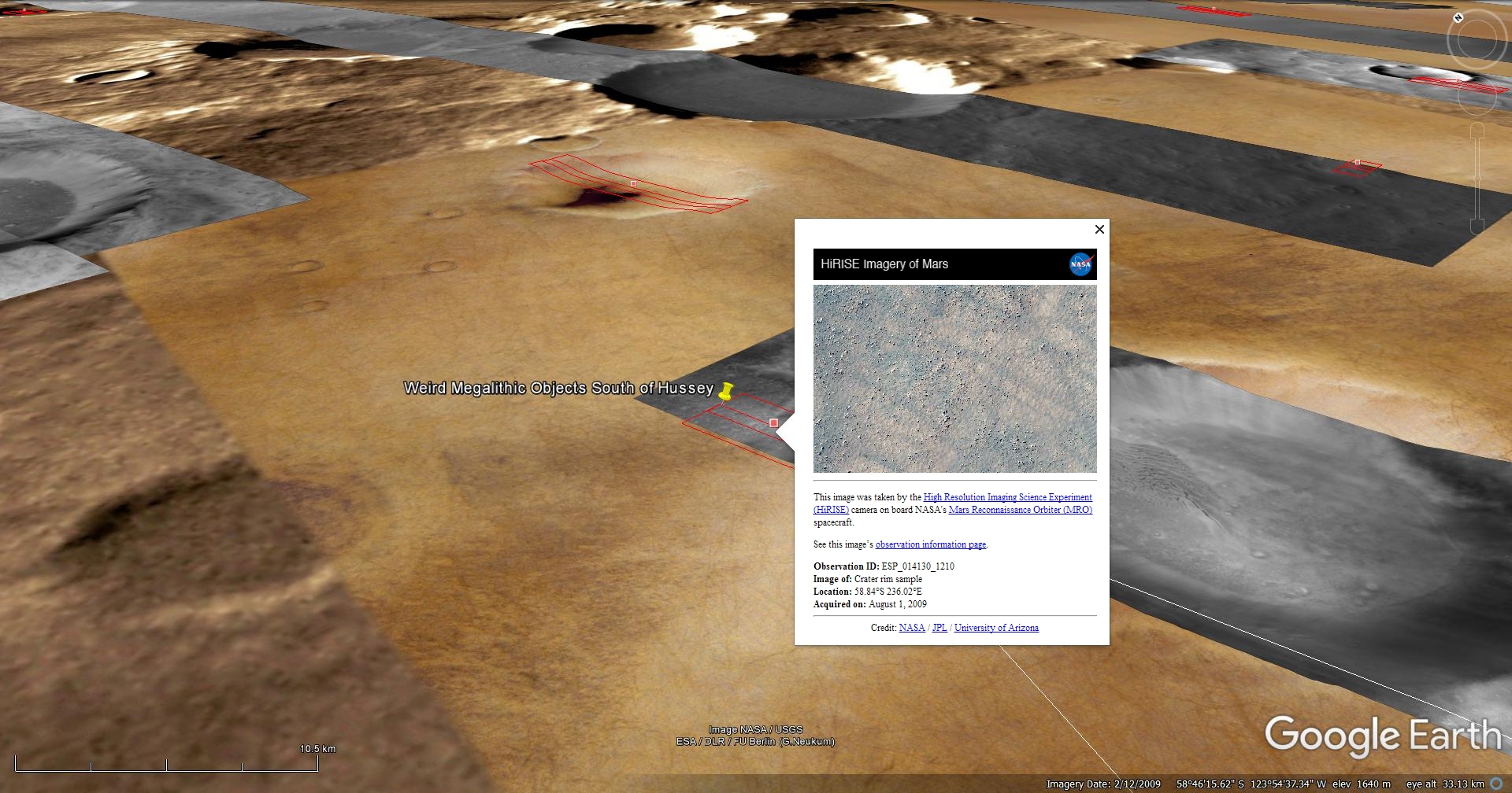
The photograph analyzed here (ESP_014130_1210) was taken by NASA’s Mars Reconnaissance Orbiter on 01 August 2009 and is described as ‘Crater Rim Sample.’
Anomalies found in this photograph appear to be megalithic in nature. Some megaliths hive knobs on them while others have circular holes.
There are also a couple of other objects that look like some type of craft, some what flying saucer shaped.
An elevated view of this site being analyzed (click for larger image)An elevated view of this site being analyzed (click for larger image)(click for larger image)(click for larger image)(click for larger image)(click for larger image)(click for larger image)(click for larger image)(click for larger image)(click for larger image)(click for larger image)(click for larger image)(click for larger image)
Images saved from within HiView or CTX viewer do not include image scale indicators. The image scale indicators I include in images are based on the official resolutions provided by NASA and although I strive to be as accurate as possible there may be slight deviations from the actual scale. Image scale indicators are included as a size approximation tool only.
Geometry lines are mapped as accurately as possible using the limited information, data and mapping tools available at the time, therefore the lines may deviate from target sites by a few kilometres. Revisions may be made in the future as new, more precise information, data and mapping tools become available.
Many or all of the anomalies/artefacts covered in this presentation may be naturally occurring geological features caused by some type of geological processes, however due to the lack of specific information from the source we can only speculate whether these are all natural or some artificial in nature.
In cases where I say an anomaly looks like something I’m attempting to clarify what I see and not specifically that the anomaly is what I say it looks like.
My intention is only to share anomalies I’ve discovered on Mars and not to convince anyone that there is or was a civilization on Mars.
As Will Farrar from WhatsUpInTheSky says: “I see what I see, you see what you see.”
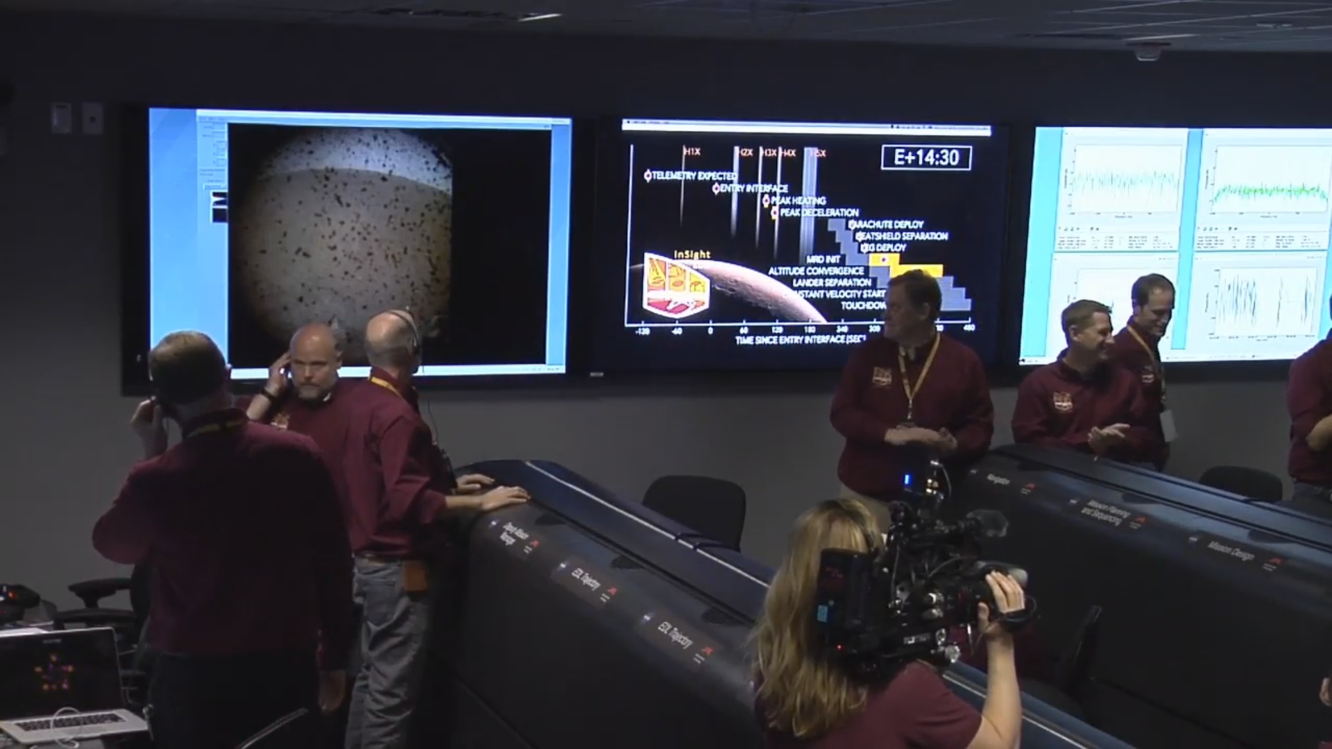
A look at what a Chief Engineer said about the Martian Sky … it’s ‘Bluish’ and the Mars 2020 Rover Mission Landing Site.
A ‘bluish’ sky on Mars:
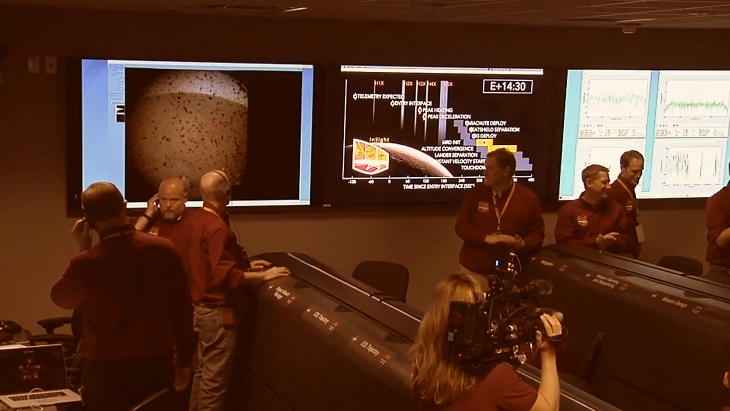
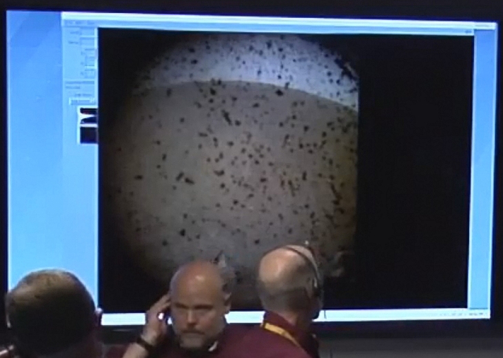
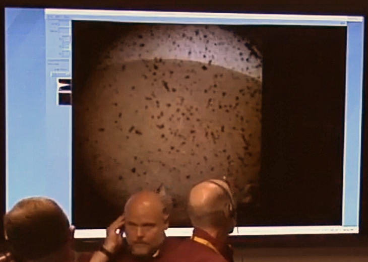
During live coverage of NASA’s InSight Lander successful landing on Mars, Rob Manning (Chief Engineer: NASA JPL) had the following to say on InSight’s 1st photograph of Mars returned to Earth: “Oh, there it is. You can see a better view. You can see that really is debris and there’s the horizon back there … ah, the blue … bluish-sky, uh, uh, that’s part of the lander deck on the front left, um, I can’t take out, but it looks like there’s not a lot of rocks in the field of view …”
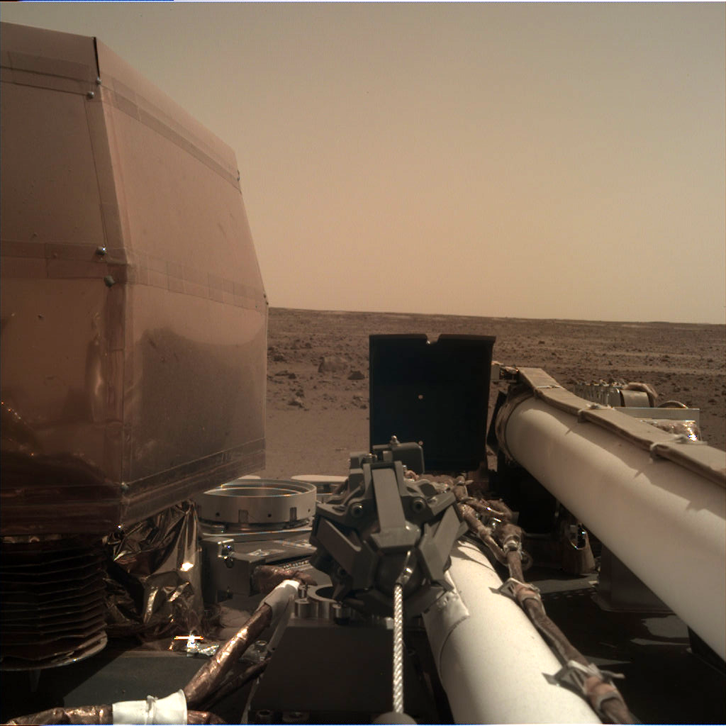
The 1st photograph return by InSight after landing, note the blue Martian sky (click for larger image)The original image above with NASA’s ‘Mars Filter to show what happens to normal colours after it is appliedA zoomed-in view of the control room monitor with normal colours shownThe image above with NASA’s ‘Mars Filter’ appliedSol 1: Instrument Deployment Camera (IDC), note the blue sky just vanished (click for larger image)
Now the question remains, is the Martian sky blue or red as we’ve been shown by NASA who add a ridiculous red/orange/mustard-colour filter to all their Mars imagery and why do they do it?
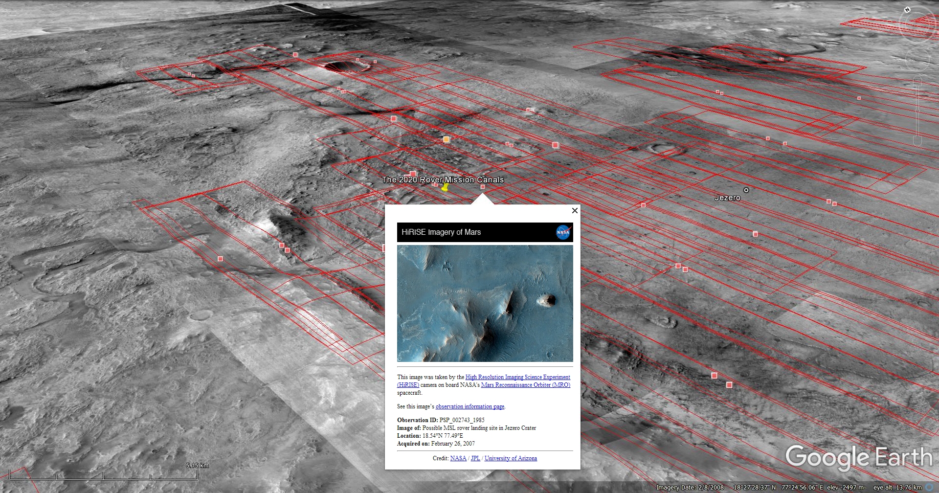
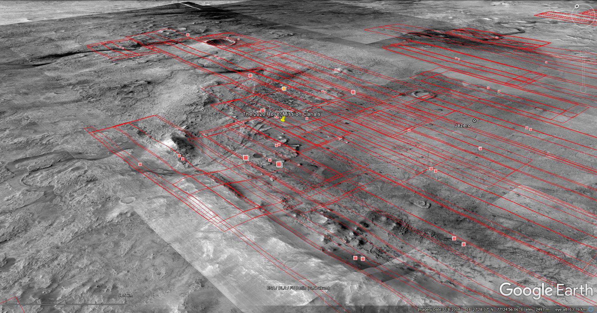
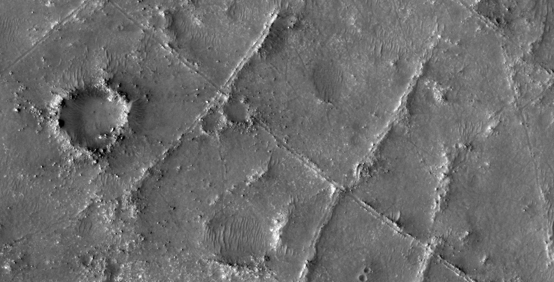
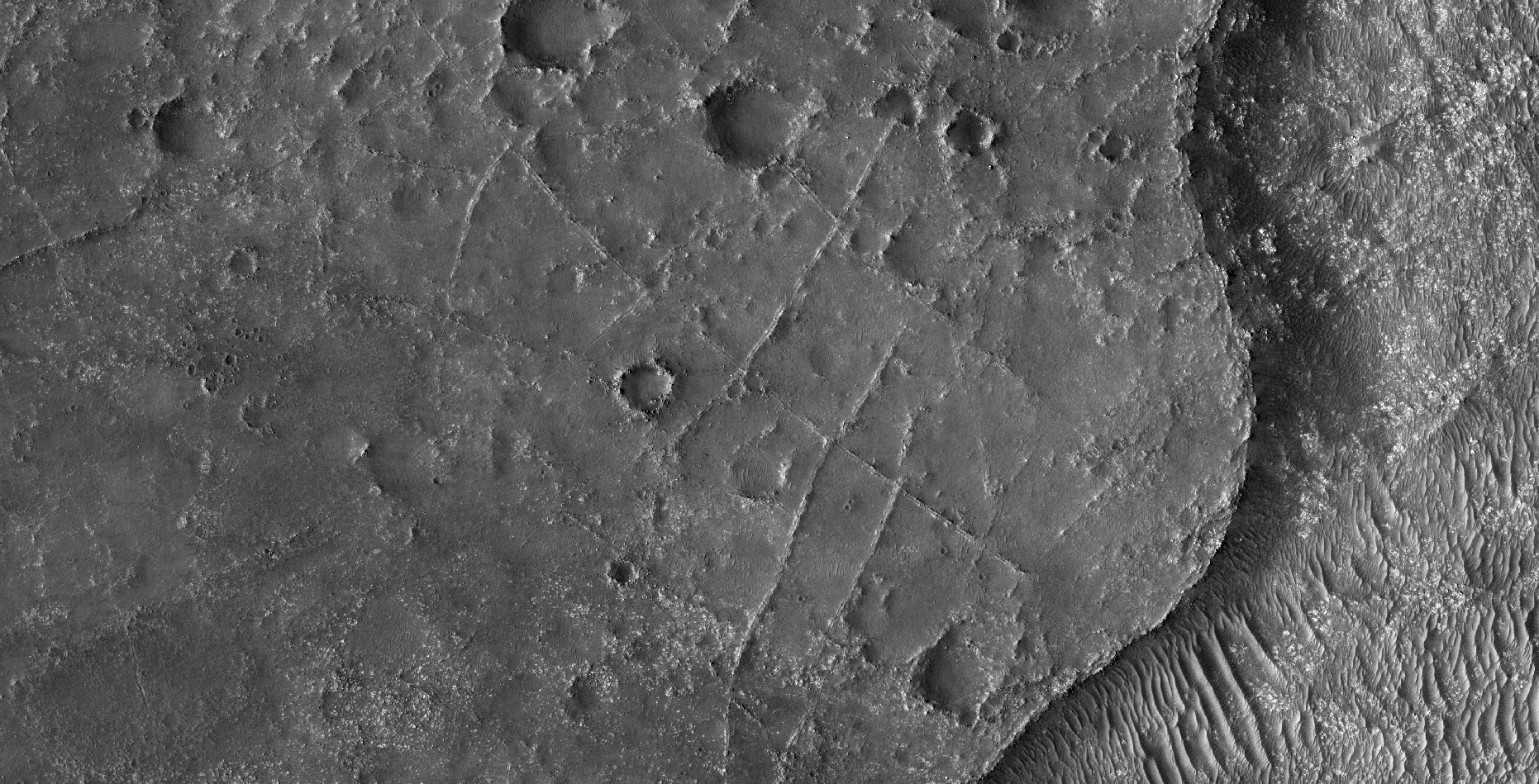
The Mars 2020 Rover Mission Landing Site:
Two HiRISE photographs are analysed here:
The 1st photograph analyzed here (ESP_037818_1990) was taken by NASA’s Mars Reconnaissance Orbiter on 21 August 2014 and is described as ‘Candidate Landing Site for 2020 Mission in Jezero Crater.’
The 2nd photograph analyzed here (PSP_002743_1985) was taken by NASA’s Mars Reconnaissance Orbiter on 26 February 2007 and is described as ‘Proposed MSL Site in Nili Fossae Crater.’
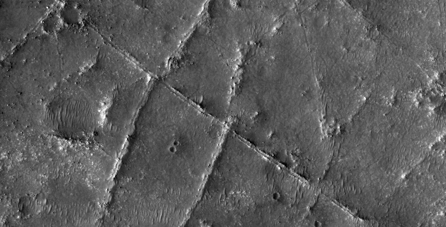
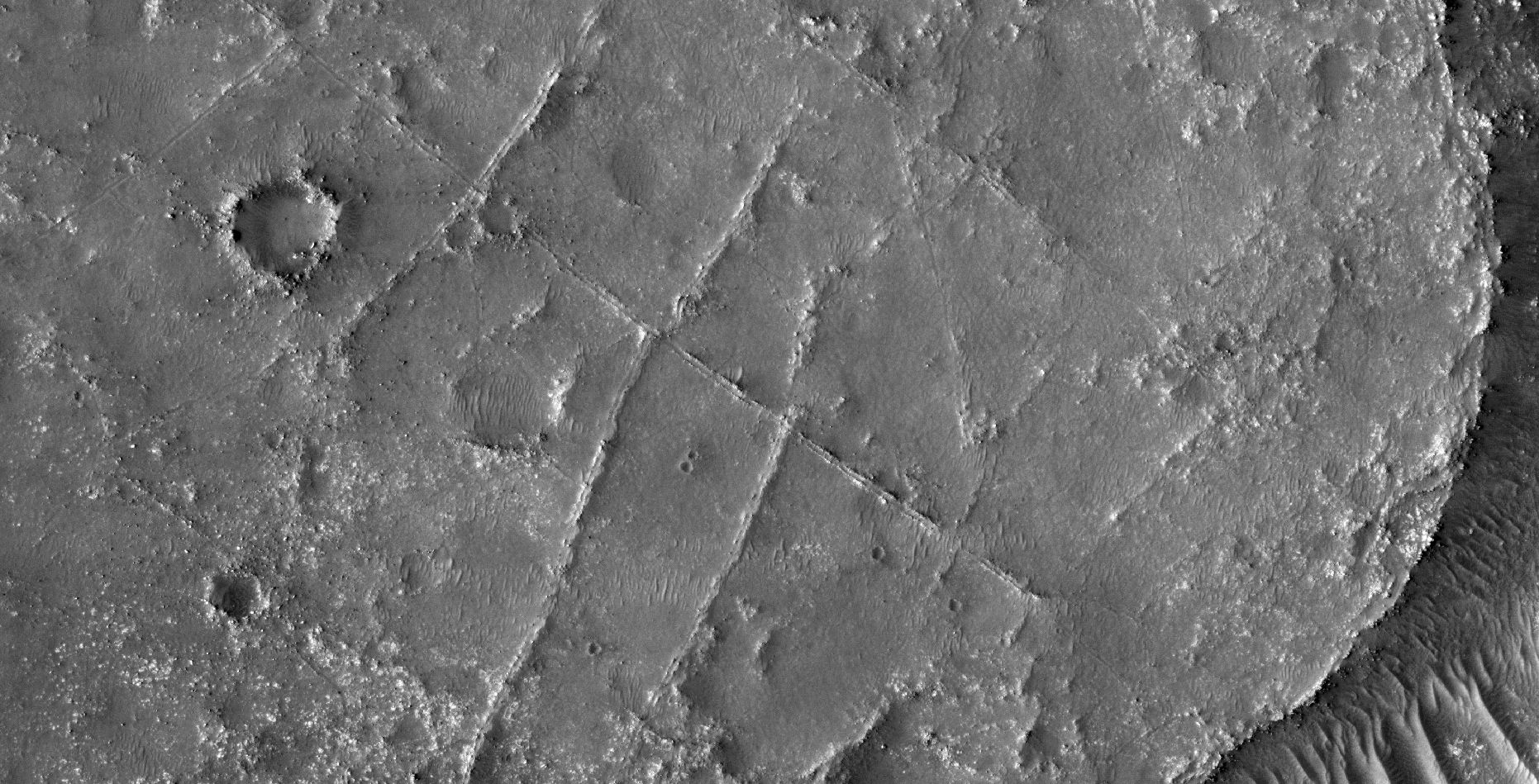
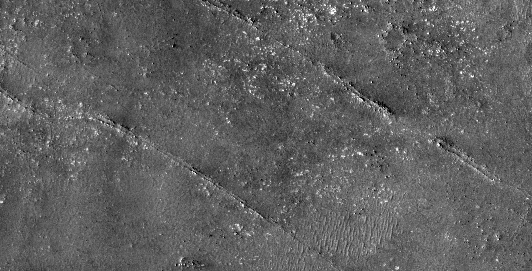
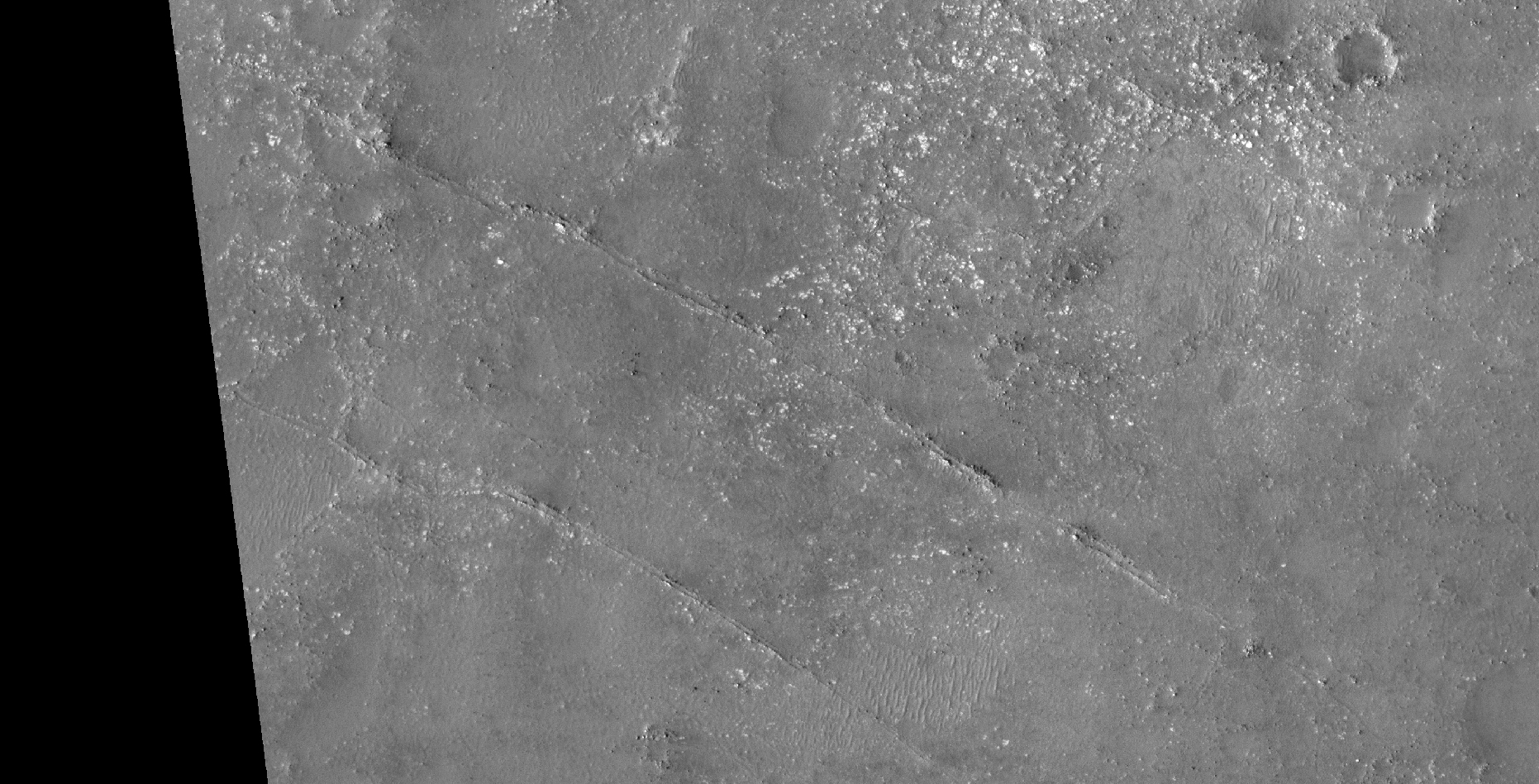
Seen are what I speculate to be large canals (4 to 5 m wide), feeding a network of smaller canals. The canals are straight and intersect at right-angles. The larger canals seem to originate at large circular depressions, perhaps dams/water reservoirs?
Could this be an old agricultural area? Maybe these anomalies are what are left of roads and an elaborate transport system?
An elevated view of this site being analyzed (click for larger image)An elevated view of this site being analyzed (click for larger image)
ESP_037818_1990:
(click for larger image)Zoomed out, not to scale (click for larger image)(click for larger image)Zoomed out, not to scale (click for larger image)
PSP_002743_1985:
(click for larger image)Zoomed out, not to scale (click for larger image)(click for larger image)Zoomed out, not to scale (click for larger image)(click for larger image)Zoomed out, not to scale (click for larger image)(click for larger image)Zoomed out, not to scale (click for larger image)(click for larger image)Zoomed out, not to scale (click for larger image)
Images saved from within HiView or CTX viewer do not include image scale indicators. The image scale indicators I include in images are based on the official resolutions provided by NASA and although I strive to be as accurate as possible there may be slight deviations from the actual scale. Image scale indicators are included as a size approximation tool only.
Geometry lines are mapped as accurately as possible using the limited information, data and mapping tools available at the time, therefore the lines may deviate from target sites by a few kilometres. Revisions may be made in the future as new, more precise information, data and mapping tools become available.
Many or all of the anomalies/artefacts covered in this presentation may be naturally occurring geological features caused by some type of geological processes, however due to the lack of specific information from the source we can only speculate whether these are all natural or some artificial in nature.
In cases where I say an anomaly looks like something I’m attempting to clarify what I see and not specifically that the anomaly is what I say it looks like.
My intention is only to share anomalies I’ve discovered on Mars and not to convince anyone that there is or was a civilization on Mars.
As Will Farrar from WhatsUpInTheSky says: “I see what I see, you see what you see.”