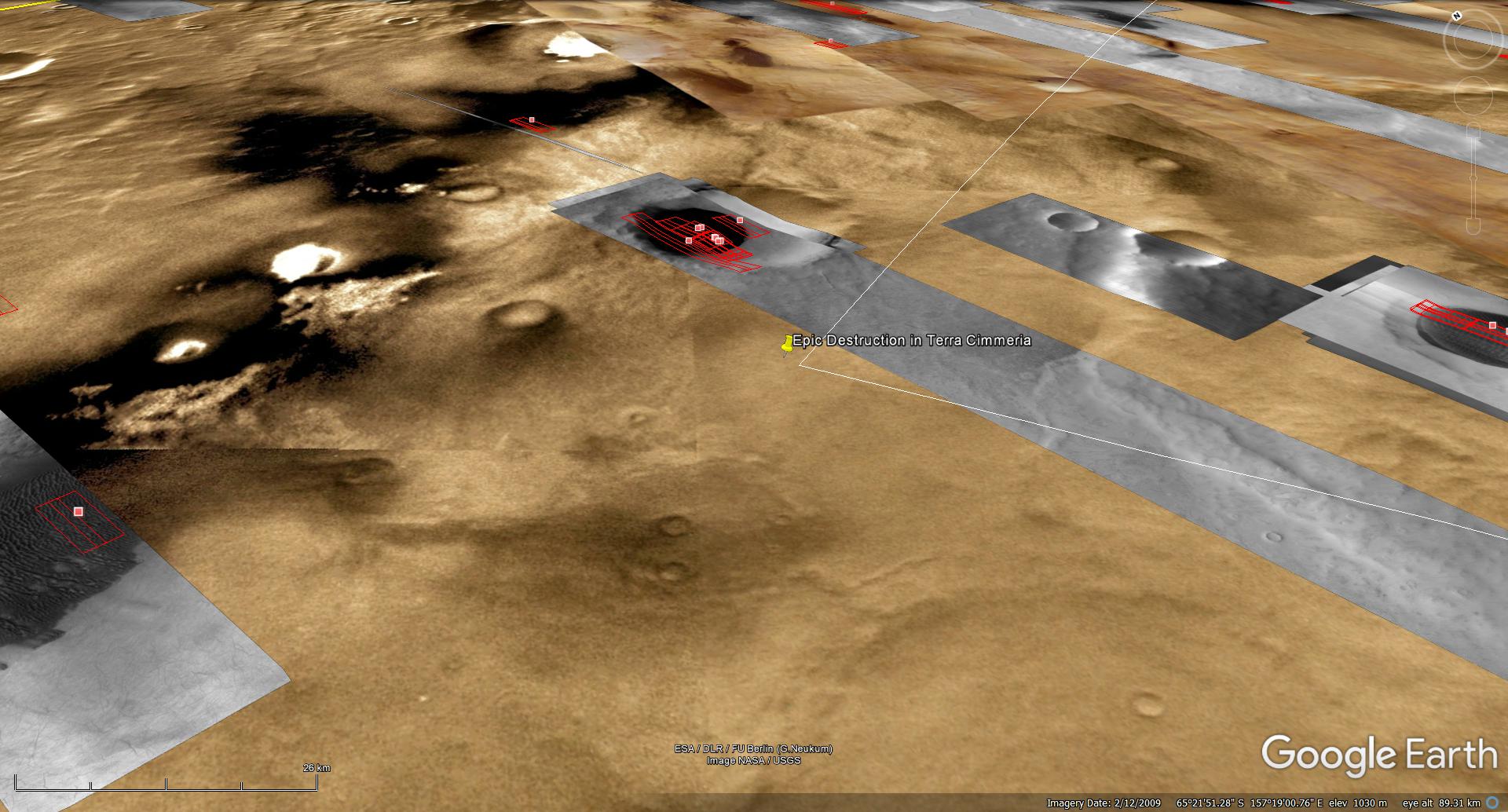
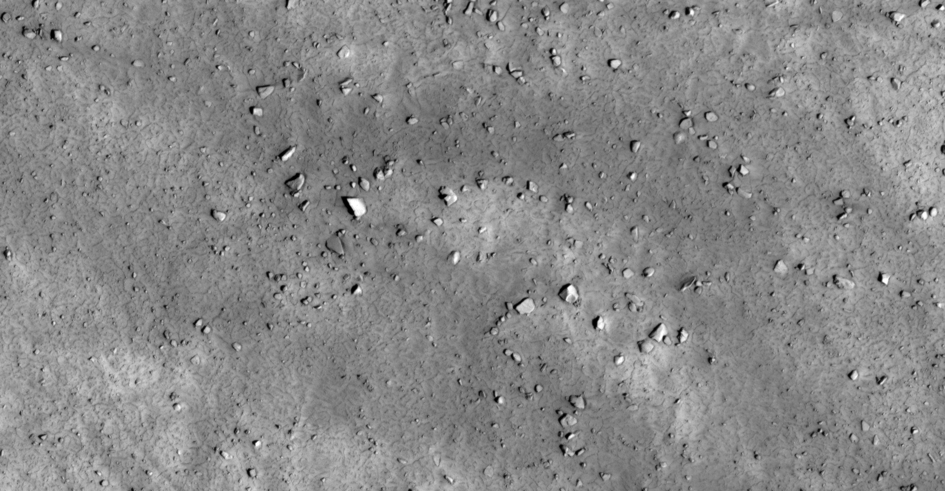
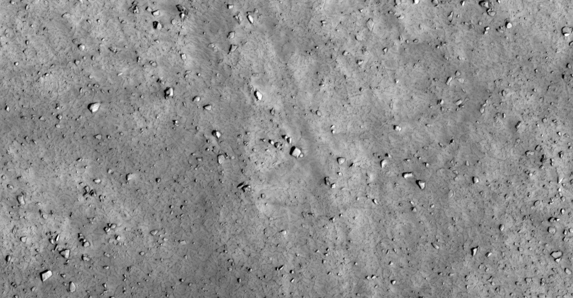
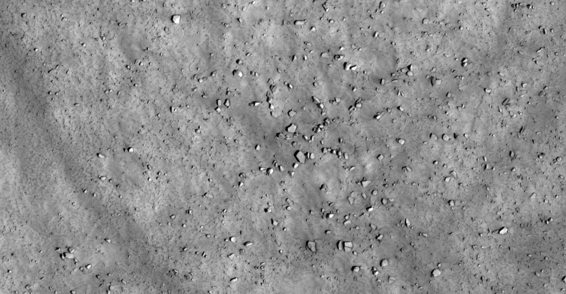
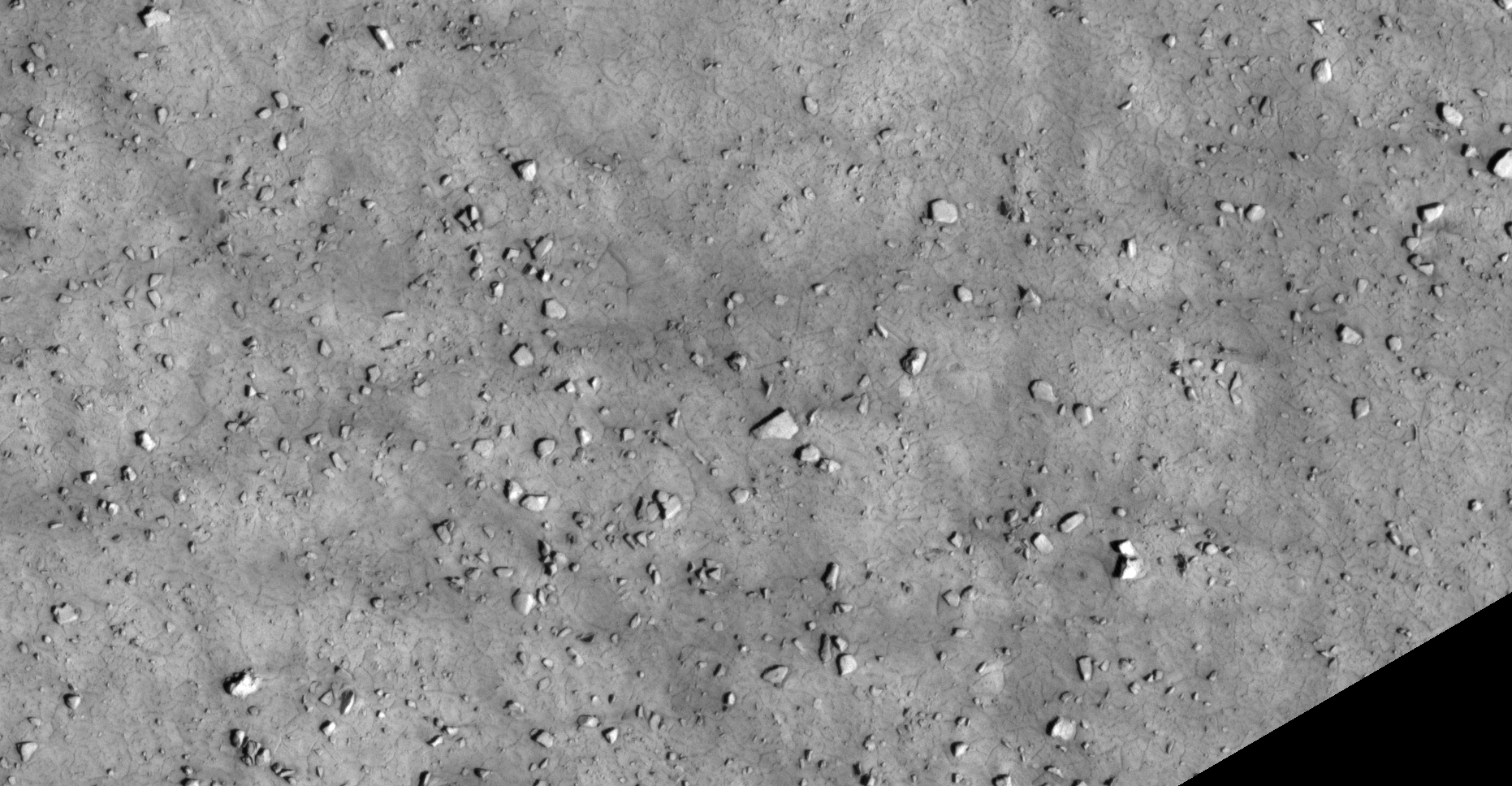
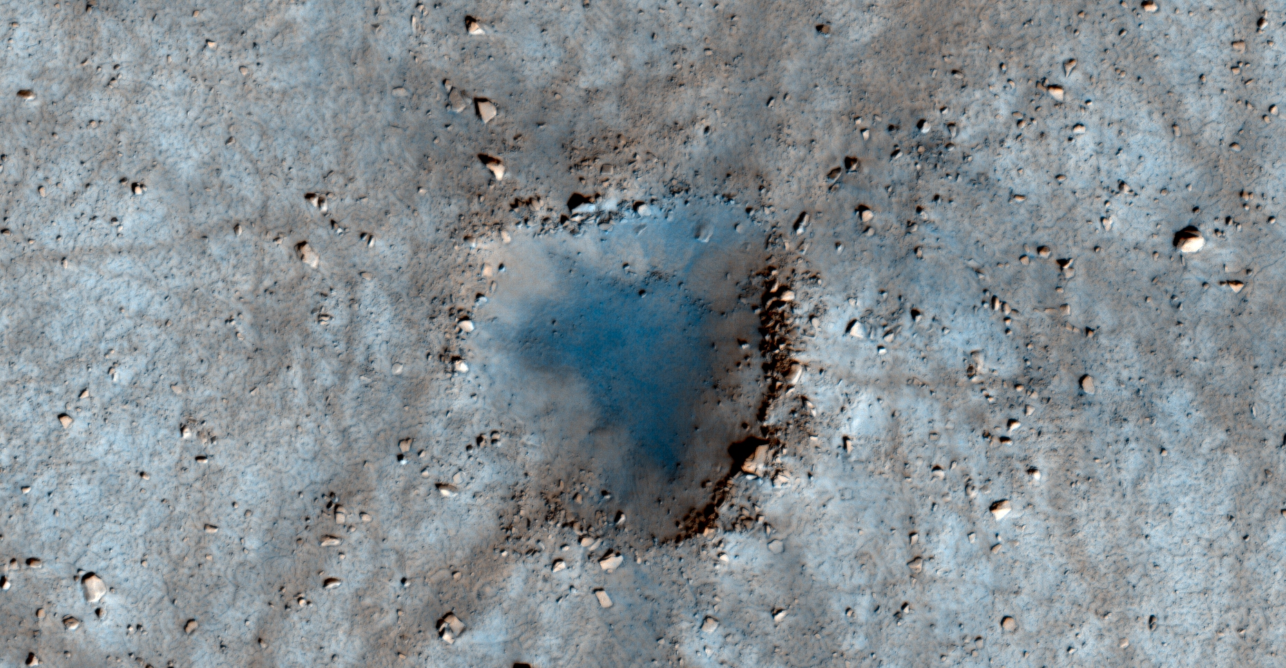
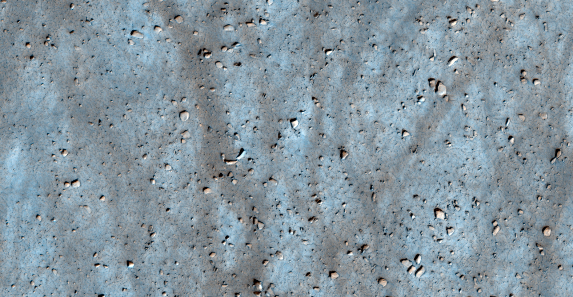
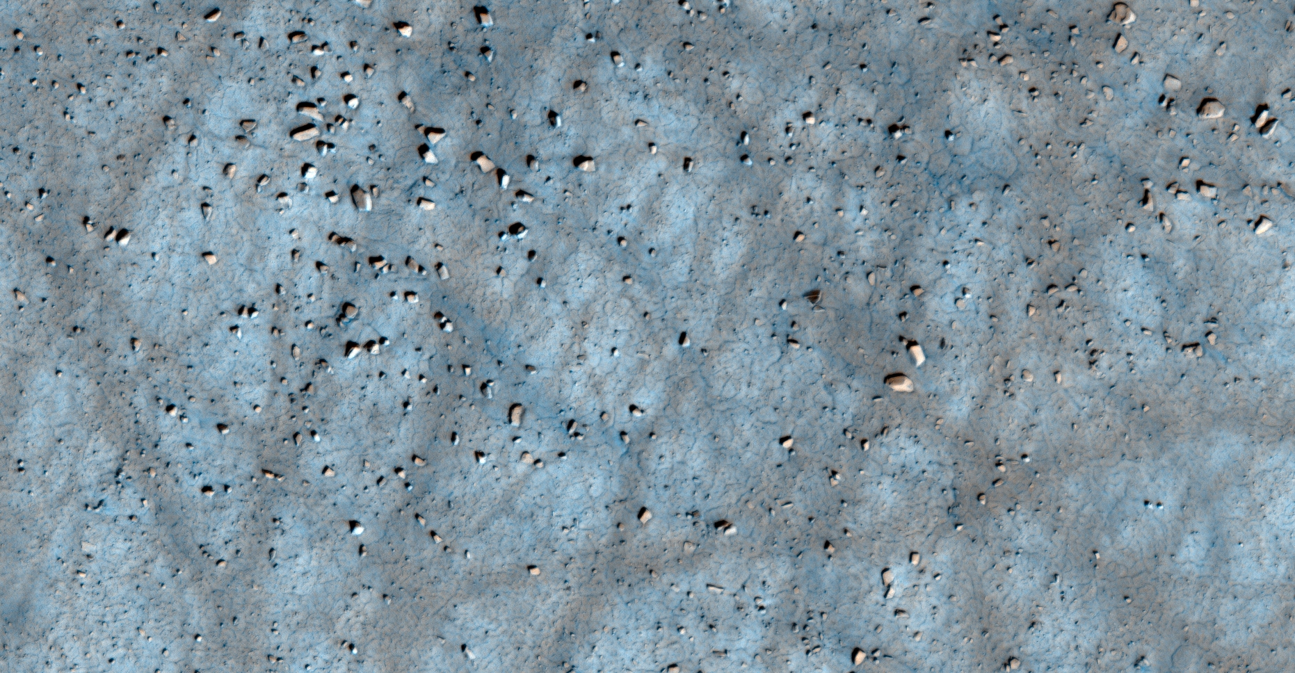
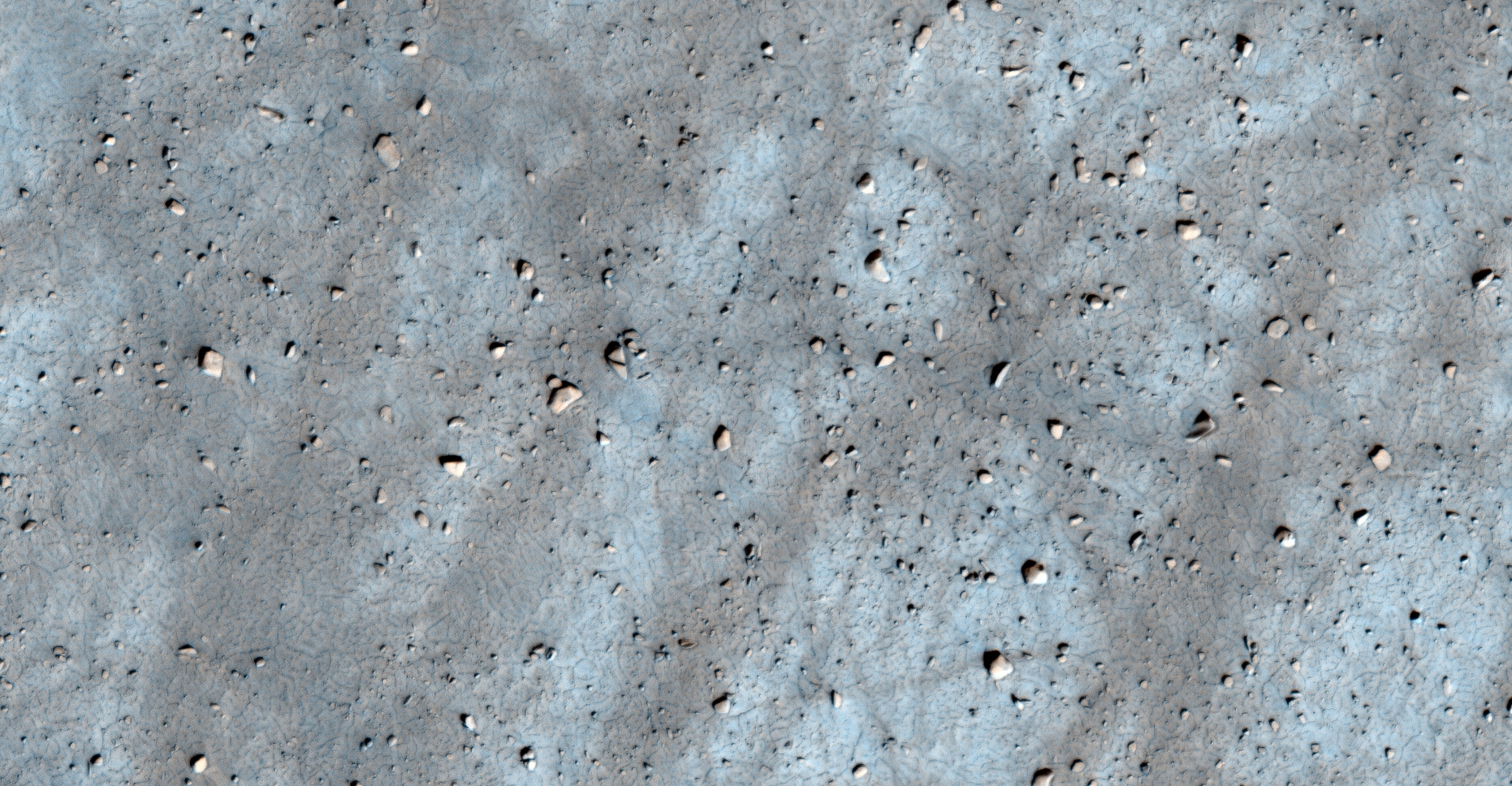
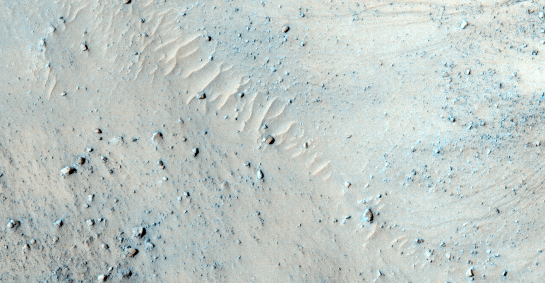
The photograph analyzed here (ESP_058031_1145) was taken by NASA’s Mars Reconnaissance Orbiter on 13 December 2018 and is described as ‘Monitoring Dust Devil Tracks in Terra Cimmeria.’
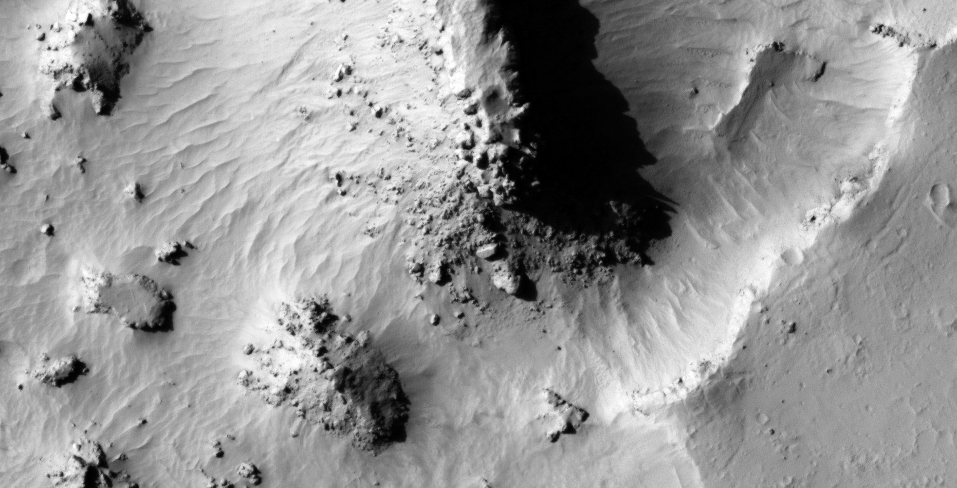
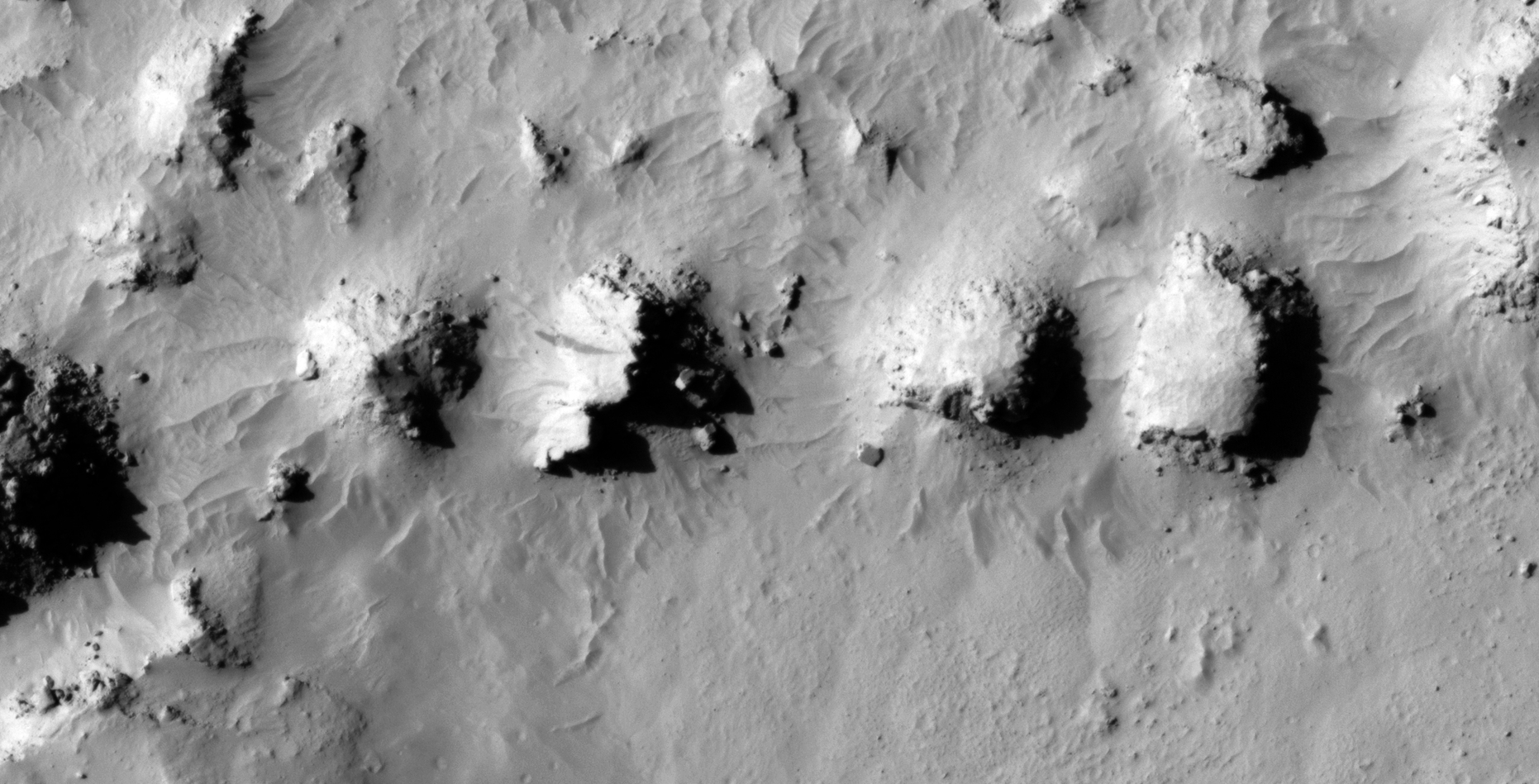
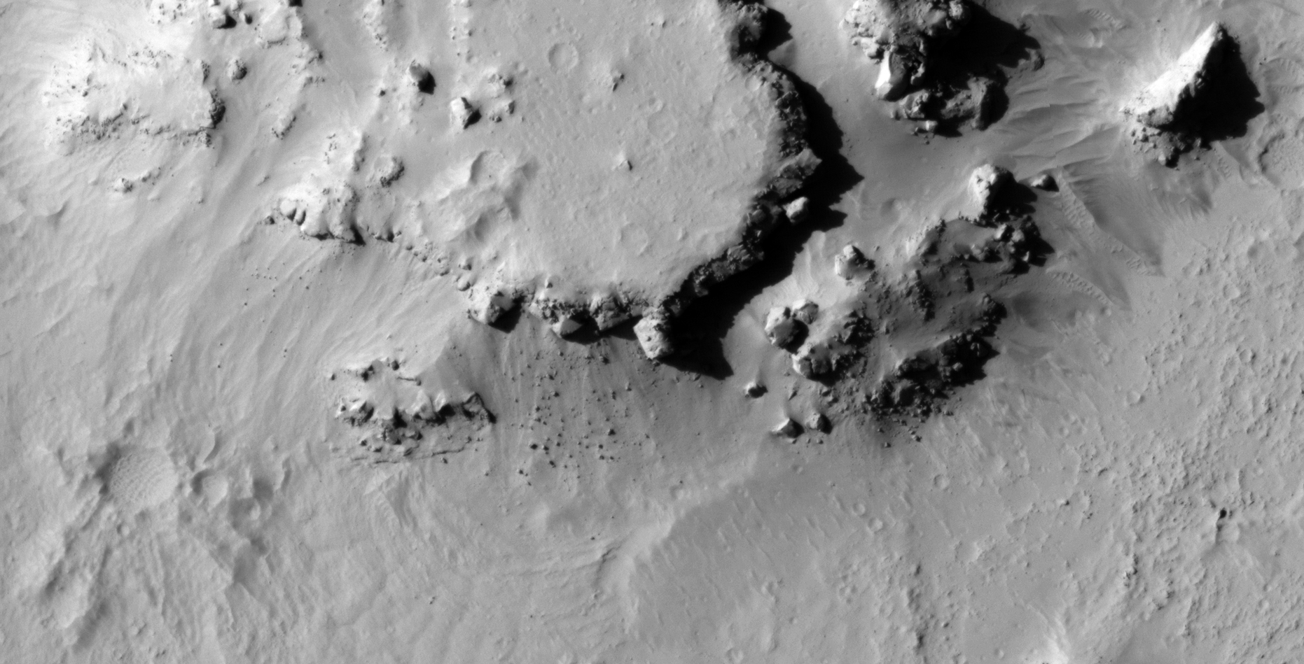
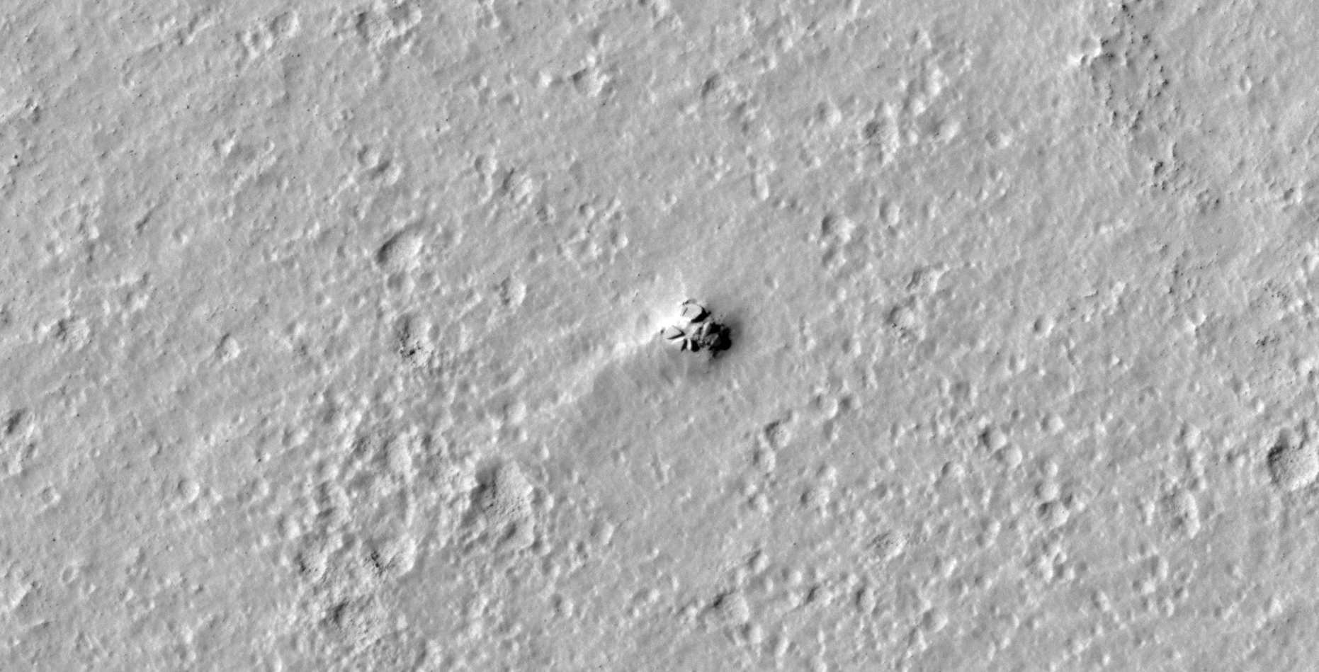
Featured here are anomalies found in yet another region of Mars showing destruction on an epic scale.
Seen are several megalithic blocks/slabs, narrow rectangular objects that look like metal plates, a large cube with a protrusion or know in the center, a large circular hole in the Martian surface partially covered with three geometric objects and a couple of objects that appear to be wreckage, perhaps.
An elevated view of this site being analyzed (click for larger image)
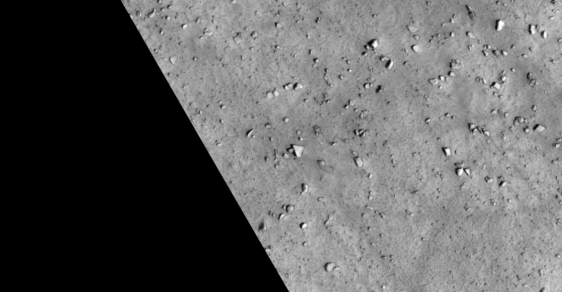
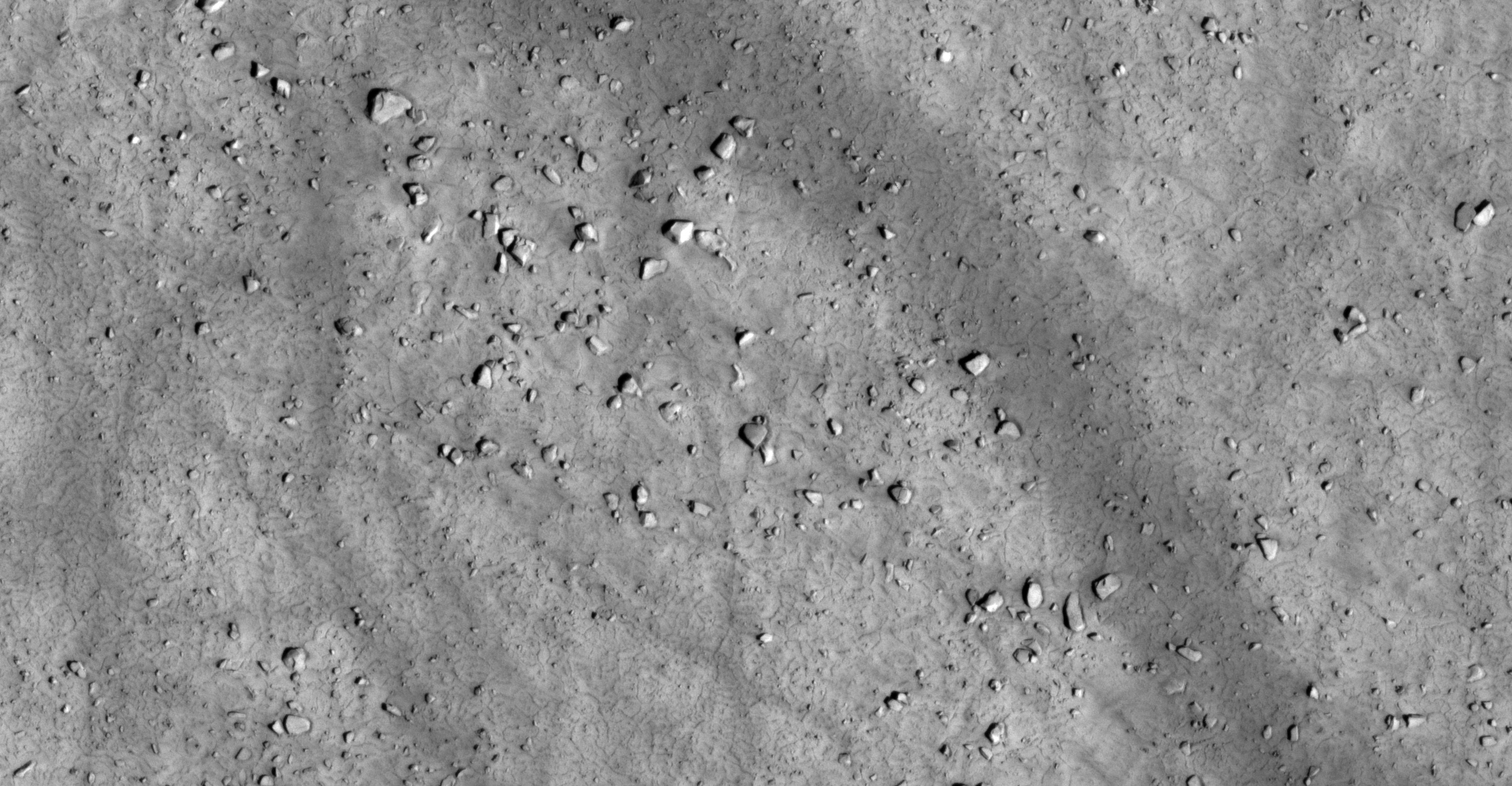
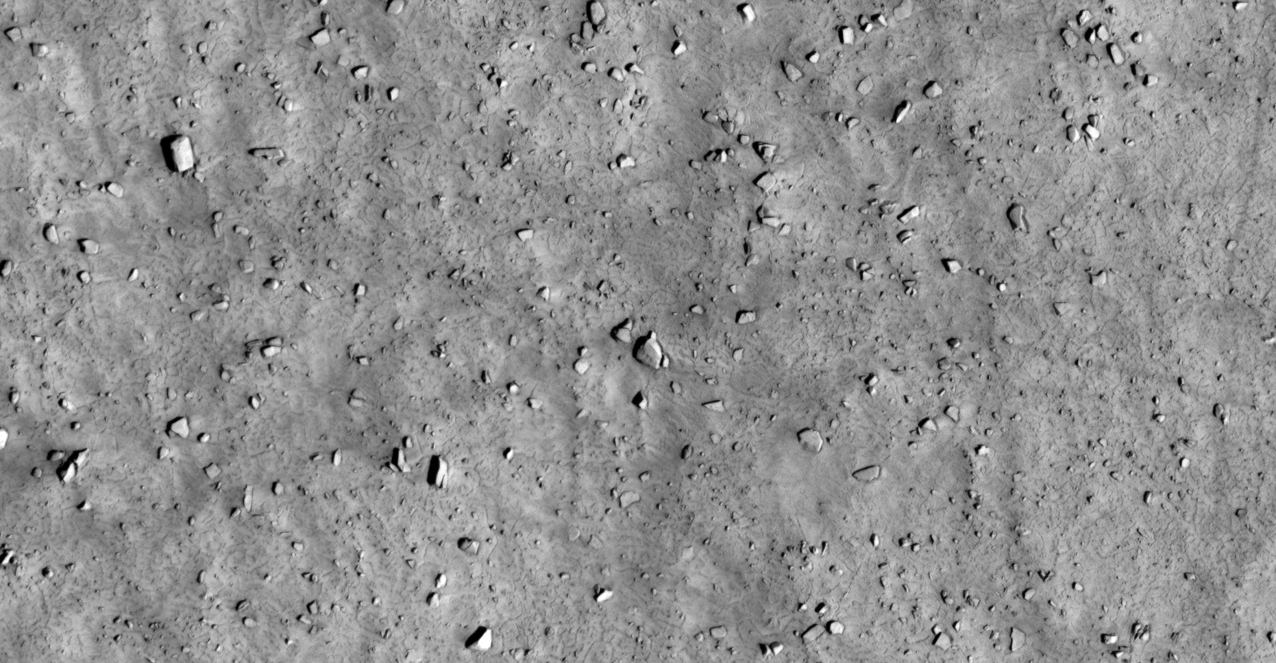
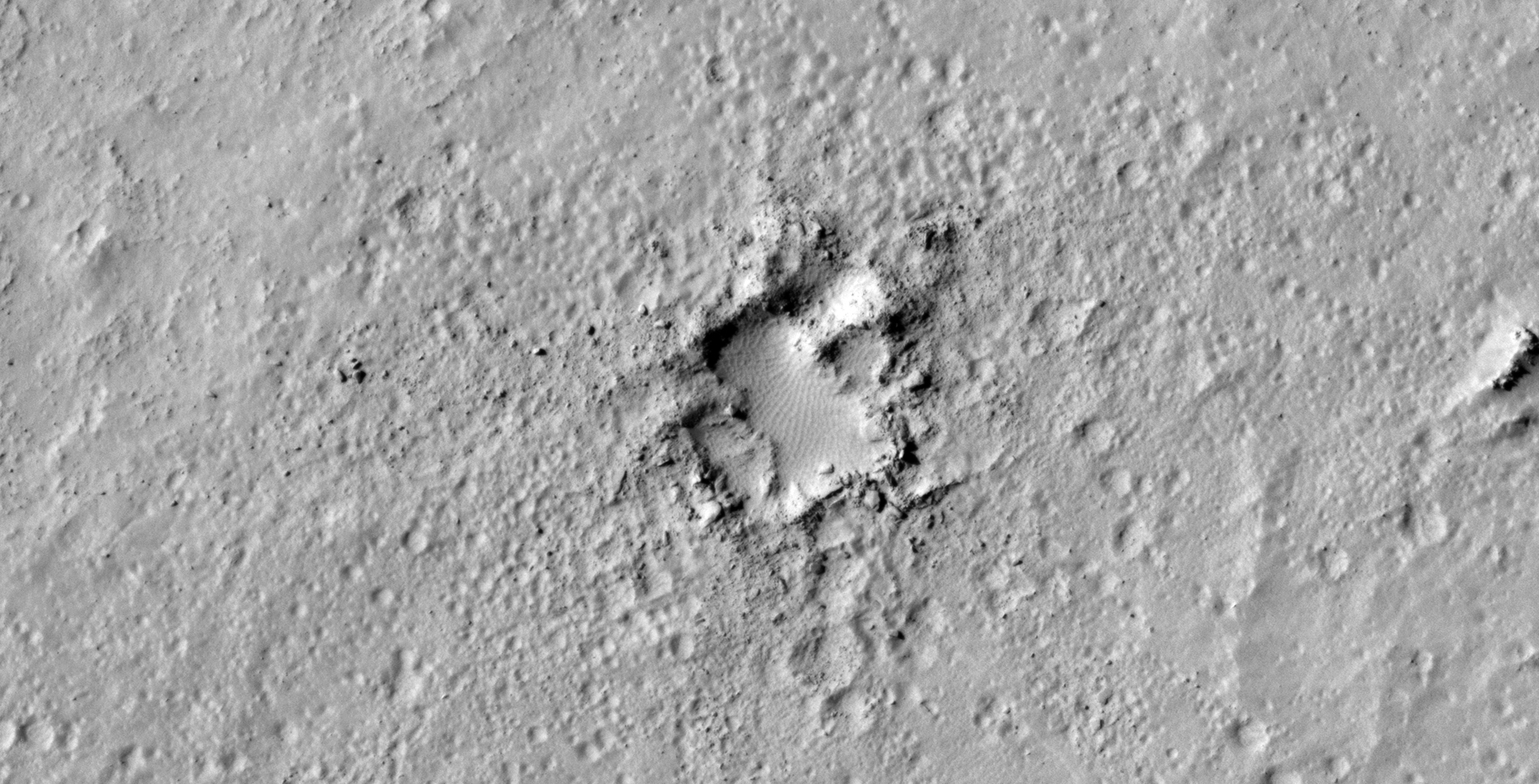
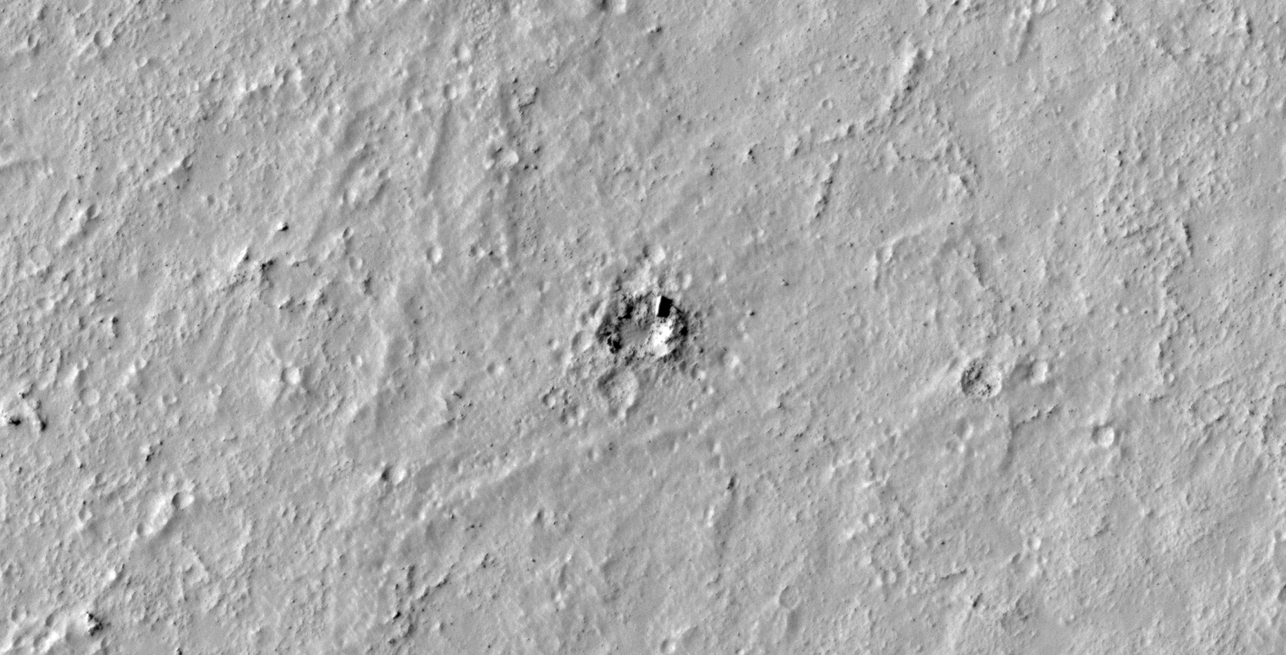
Anomalies in the Black and White image:
Click for original image at 1:1 scaleClick for original image at 1:1 scaleClick for original image at 1:1 scaleClick for original image at 1:1 scaleClick for original image at 1:1 scaleZoomed-out, not to scaleClick for original image at 1:1 scaleClick for original image at 1:1 scaleClick for original image at 1:1 scaleClick for original image at 1:1 scaleClick for original image at 1:1 scaleClick for original image at 1:1 scaleClick for original image at 1:1 scaleClick for original image at 1:1 scaleClick for original image at 1:1 scaleClick for original image at 1:1 scaleClick for original image at 1:1 scaleClick for original image at 1:1 scaleClick for original image at 1:1 scaleClick for original image at 1:1 scaleClick for original image at 1:1 scaleClick for original image at 1:1 scaleClick for original image at 1:1 scaleClick for original image at 1:1 scaleClick for original image at 1:1 scale
Anomalies in the RGB colour image:
Click for original image at 1:1 scaleClick for original image at 1:1 scaleClick for original image at 1:1 scaleClick for original image at 1:1 scaleClick for original image at 1:1 scaleClick for original image at 1:1 scaleClick for original image at 1:1 scaleClick for original image at 1:1 scaleClick for original image at 1:1 scaleClick for original image at 1:1 scaleClick for original image at 1:1 scaleClick for original image at 1:1 scaleClick for original image at 1:1 scaleClick for original image at 1:1 scaleClick for original image at 1:1 scale
Images saved from within HiView or CTX viewer do not include image scale indicators. The image scale indicators I include in images are based on the official resolutions provided by NASA and although I strive to be as accurate as possible there may be slight deviations from the actual scale. Image scale indicators are included as a size approximation tool only.
Geometry lines are mapped as accurately as possible using the limited information, data and mapping tools available at the time, therefore the lines may deviate from target sites by a few kilometres. Revisions may be made in the future as new, more precise information, data and mapping tools become available.
Many or all of the anomalies/artefacts covered in this presentation may be naturally occurring geological features caused by some type of geological processes, however due to the lack of specific information from the source we can only speculate whether these are all natural or some artificial in nature.
In cases where I say an anomaly looks like something I’m attempting to clarify what I see and not specifically that the anomaly is what I say it looks like.
My intention is only to share anomalies I’ve discovered on Mars and not to convince anyone that there is or was a civilization on Mars.
As Will Farrar from WhatsUpInTheSky says: “I see what I see, you see what you see.”
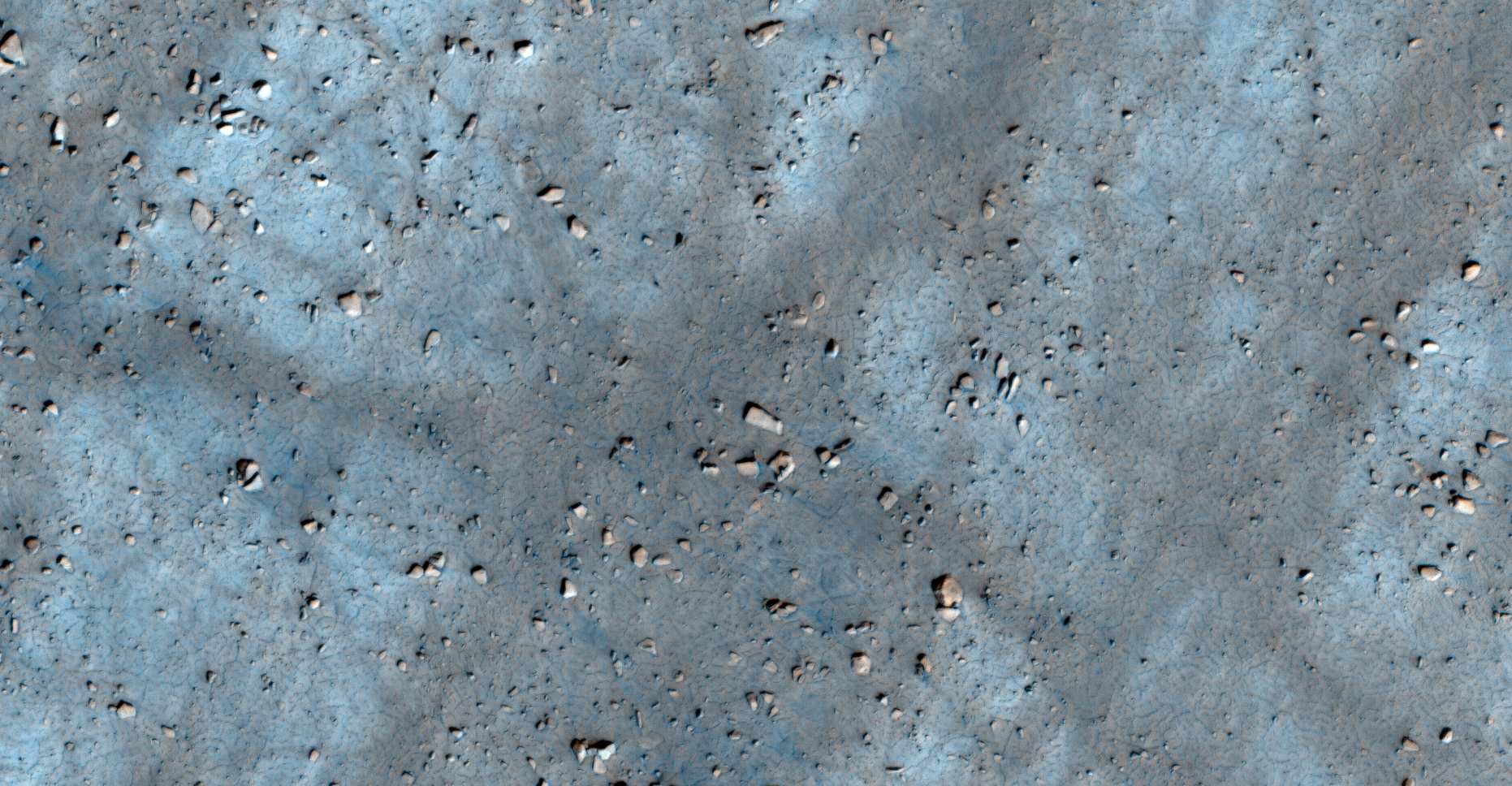
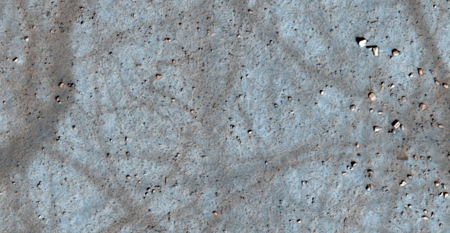
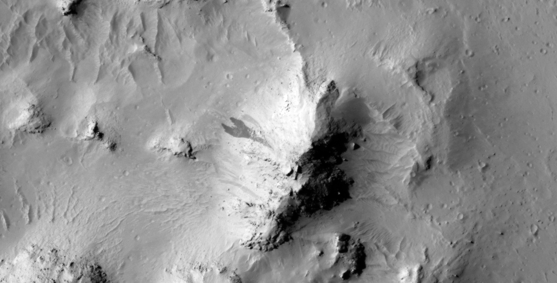
The photograph analyzed here (ESP_057502_1425) was taken by NASA’s Mars Reconnaissance Orbiter on 02 November 2018 and is described as ‘Slope Monitoring.’
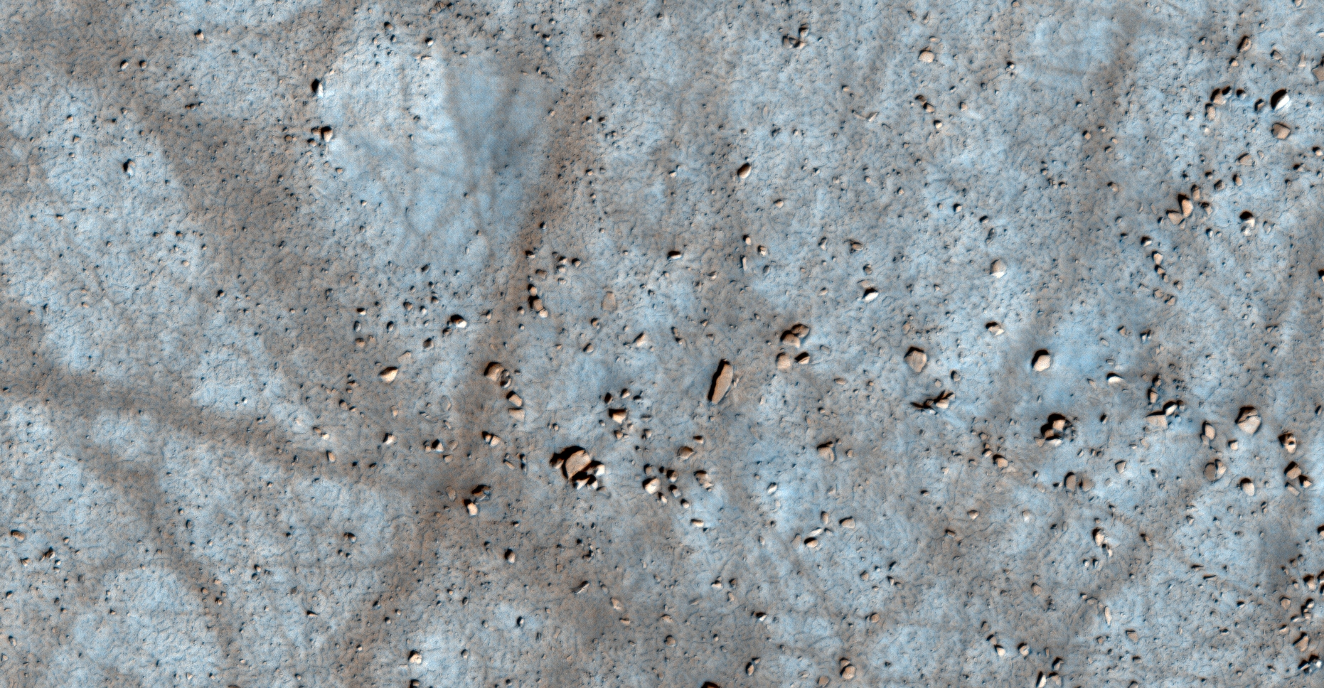
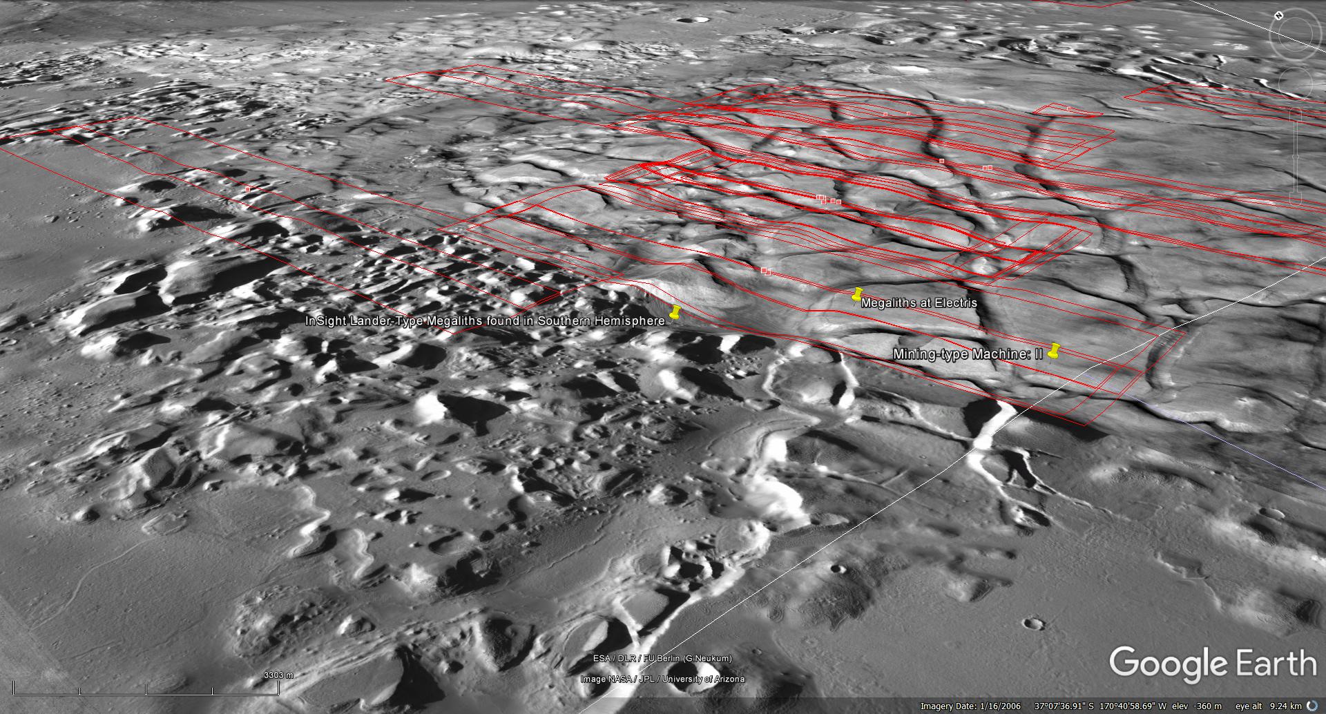
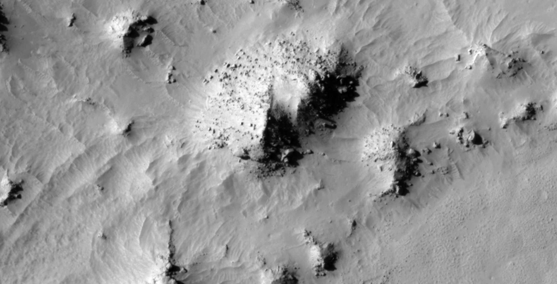
Located in a region 37 degrees South and to the East of Elysium Planitia where Insight Lander and Rover Curiosity are based is this rather intriguing region of Mars.
Here I found numerous megalithic blocks, slabs, ruins, structures, metal looking plates and potentially pieces of debris and wreckage. The megalithic blocks, ruins and structures are similar in geometry and size to those found in Elysium Planitia.
Even the geology is similar, both area’s feature what appear to be old islands within a complex canal system.
The Asimov anomalies featured here were discovered by my friend Saturn Ark.
An elevated view of this site being analyzed (click for larger image)
Anomalies in the RGB colour image:
Click for original image at 1:1 scaleClick for original image at 1:1 scaleClick for original image at 1:1 scaleClick for original image at 1:1 scaleClick for original image at 1:1 scaleClick for original image at 1:1 scaleClick for original image at 1:1 scaleClick for original image at 1:1 scaleClick for original image at 1:1 scale
Anomalies in the Black and White image:
Click for original image at 1:1 scaleClick for original image at 1:1 scaleClick for original image at 1:1 scaleClick for original image at 1:1 scaleClick for original image at 1:1 scaleClick for original image at 1:1 scaleClick for original image at 1:1 scaleClick for original image at 1:1 scaleClick for original image at 1:1 scaleClick for original image at 1:1 scaleClick for original image at 1:1 scaleClick for original image at 1:1 scaleClick for original image at 1:1 scaleClick for original image at 1:1 scaleClick for original image at 1:1 scale
Images saved from within HiView or CTX viewer do not include image scale indicators. The image scale indicators I include in images are based on the official resolutions provided by NASA and although I strive to be as accurate as possible there may be slight deviations from the actual scale. Image scale indicators are included as a size approximation tool only.
Geometry lines are mapped as accurately as possible using the limited information, data and mapping tools available at the time, therefore the lines may deviate from target sites by a few kilometres. Revisions may be made in the future as new, more precise information, data and mapping tools become available.
Many or all of the anomalies/artefacts covered in this presentation may be naturally occurring geological features caused by some type of geological processes, however due to the lack of specific information from the source we can only speculate whether these are all natural or some artificial in nature.
In cases where I say an anomaly looks like something I’m attempting to clarify what I see and not specifically that the anomaly is what I say it looks like.
My intention is only to share anomalies I’ve discovered on Mars and not to convince anyone that there is or was a civilization on Mars.
As Will Farrar from WhatsUpInTheSky says: “I see what I see, you see what you see.”
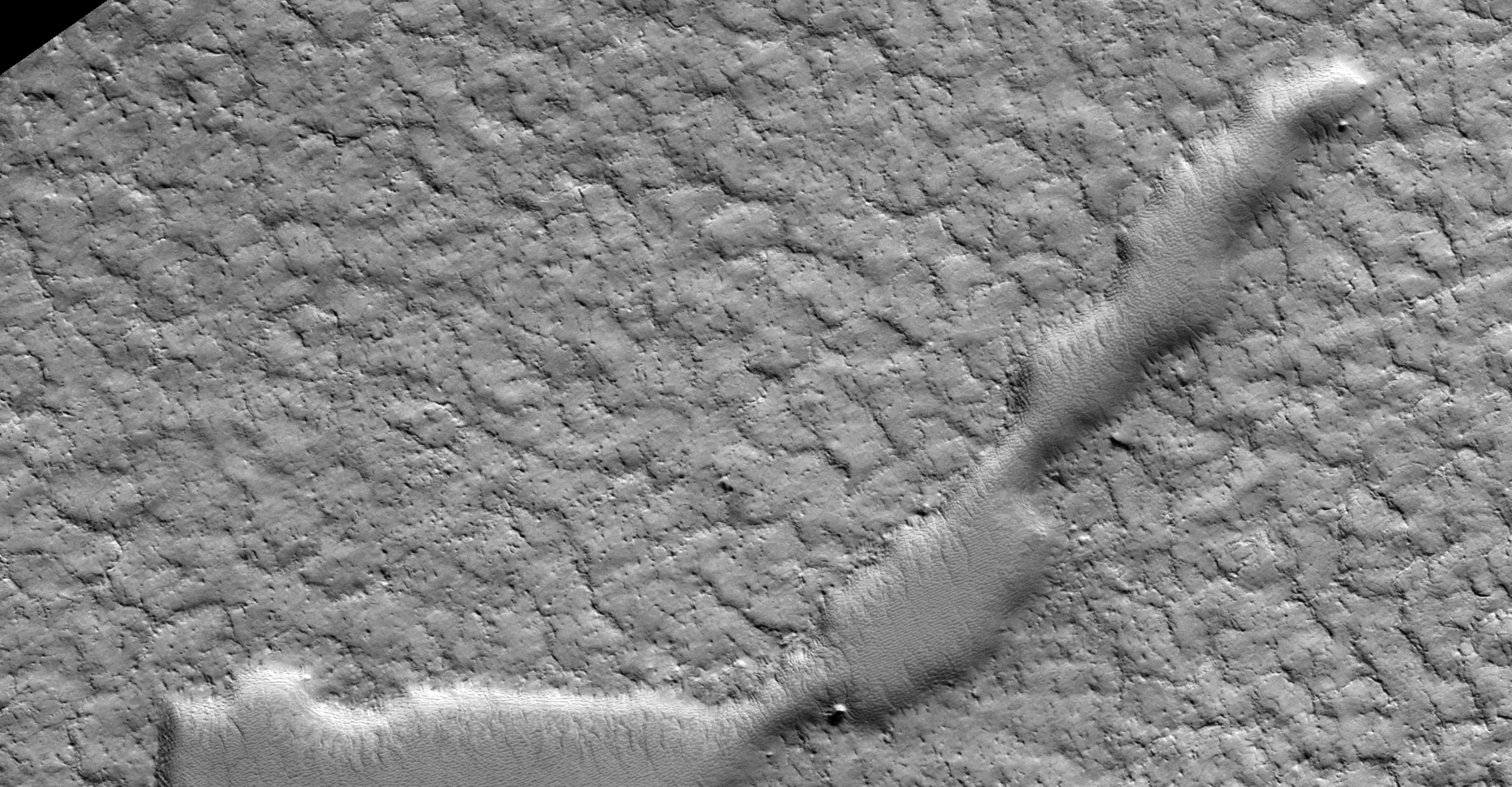
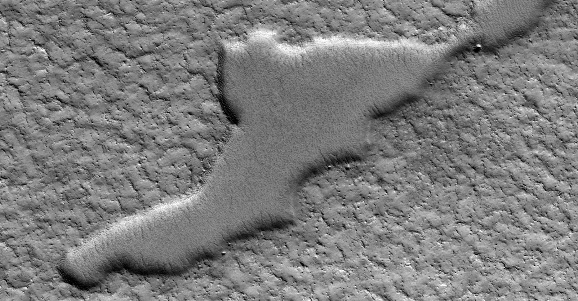
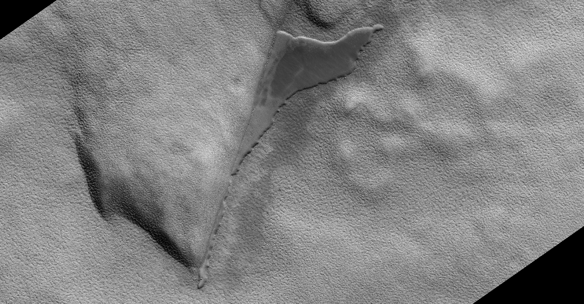
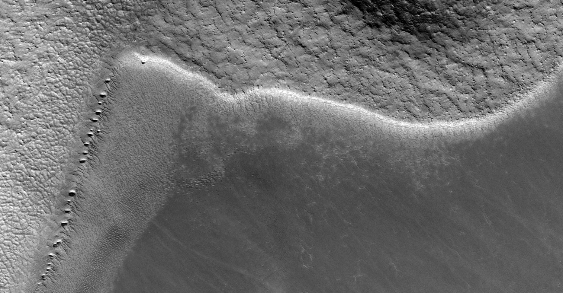
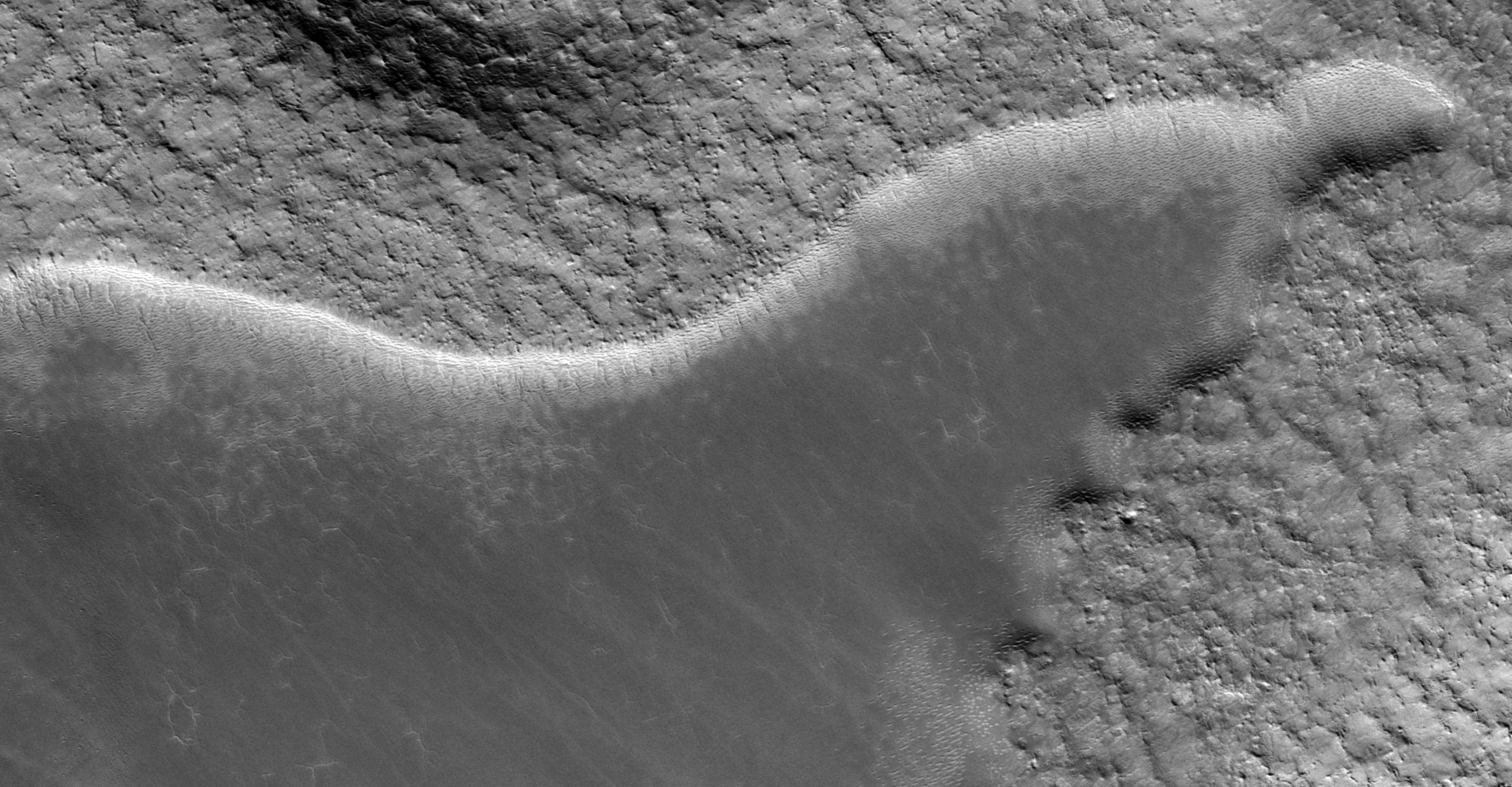
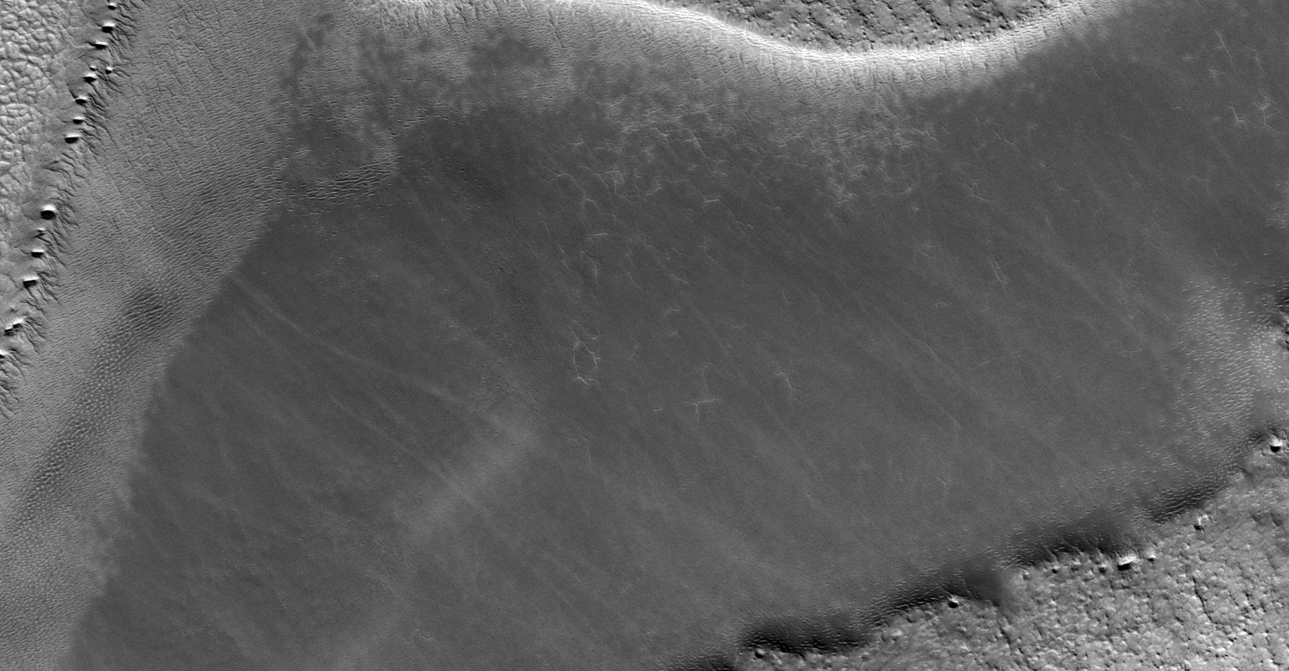
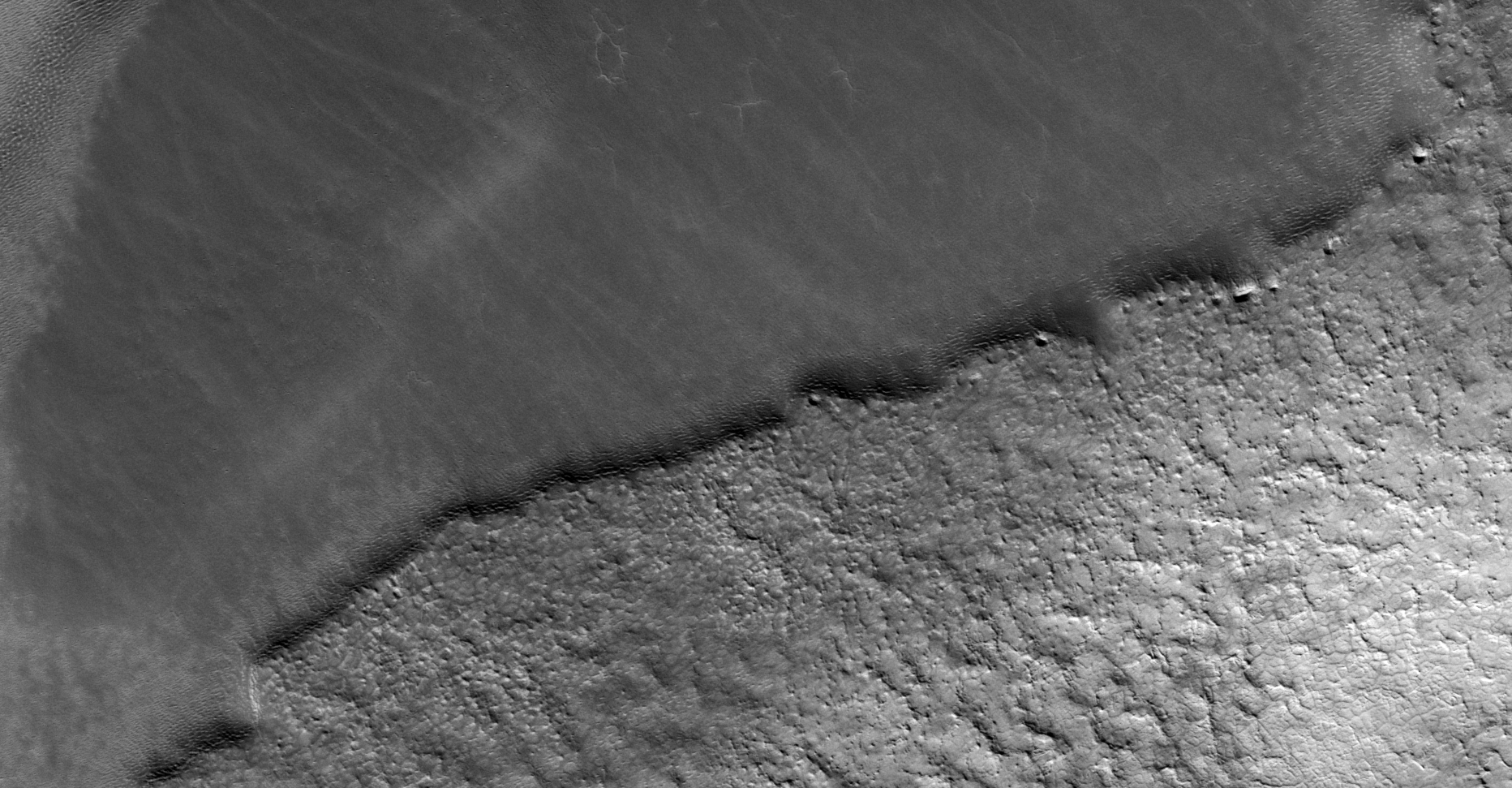
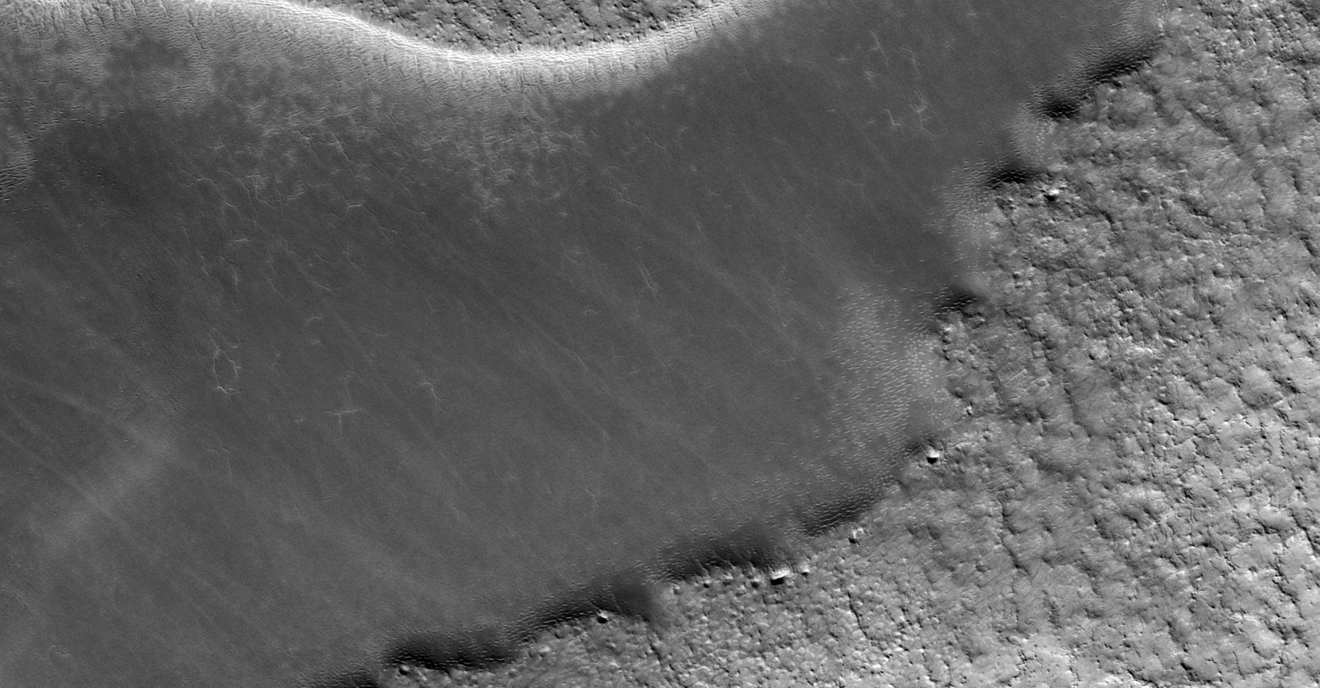
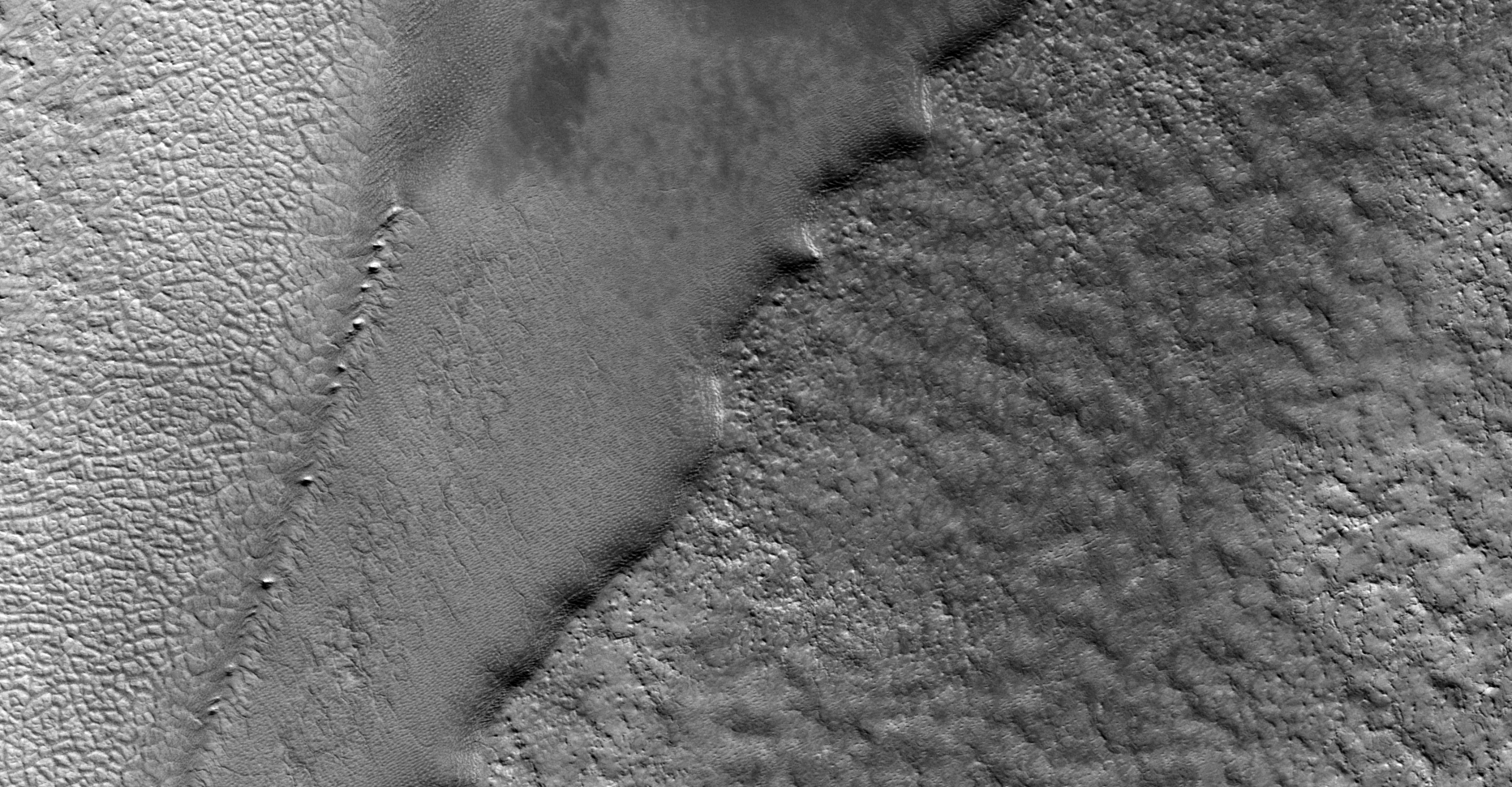
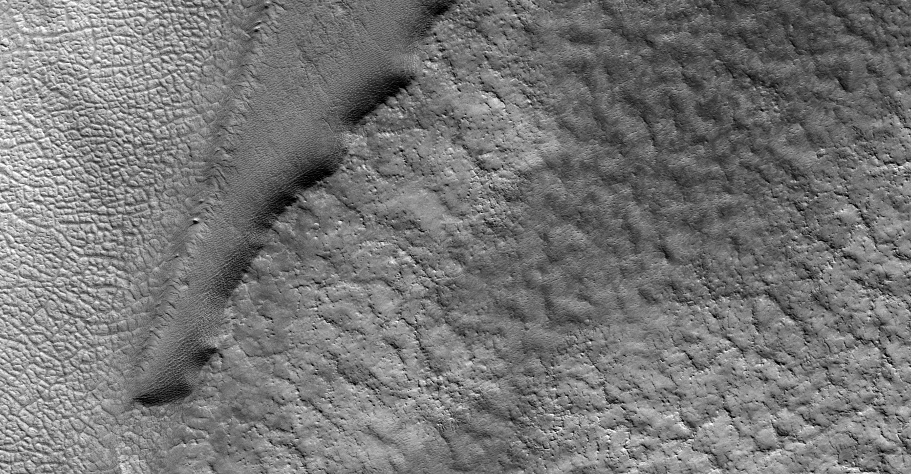
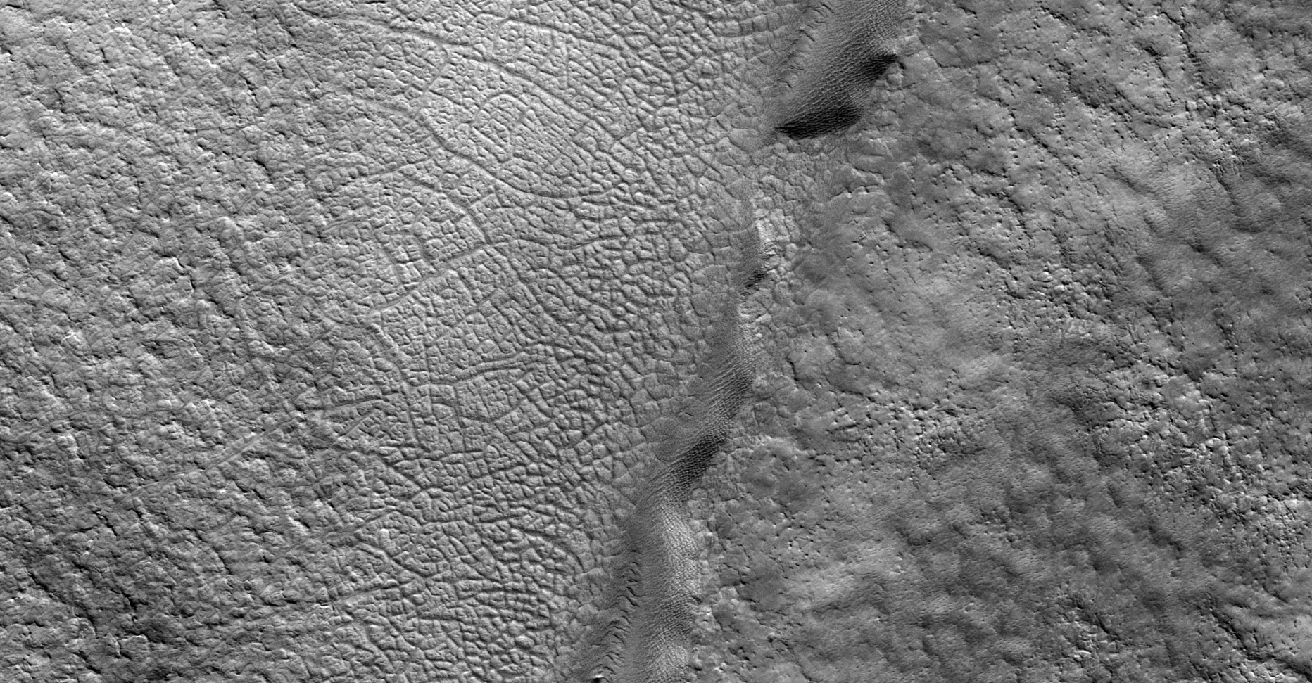
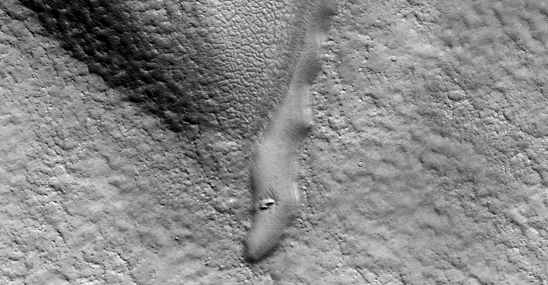
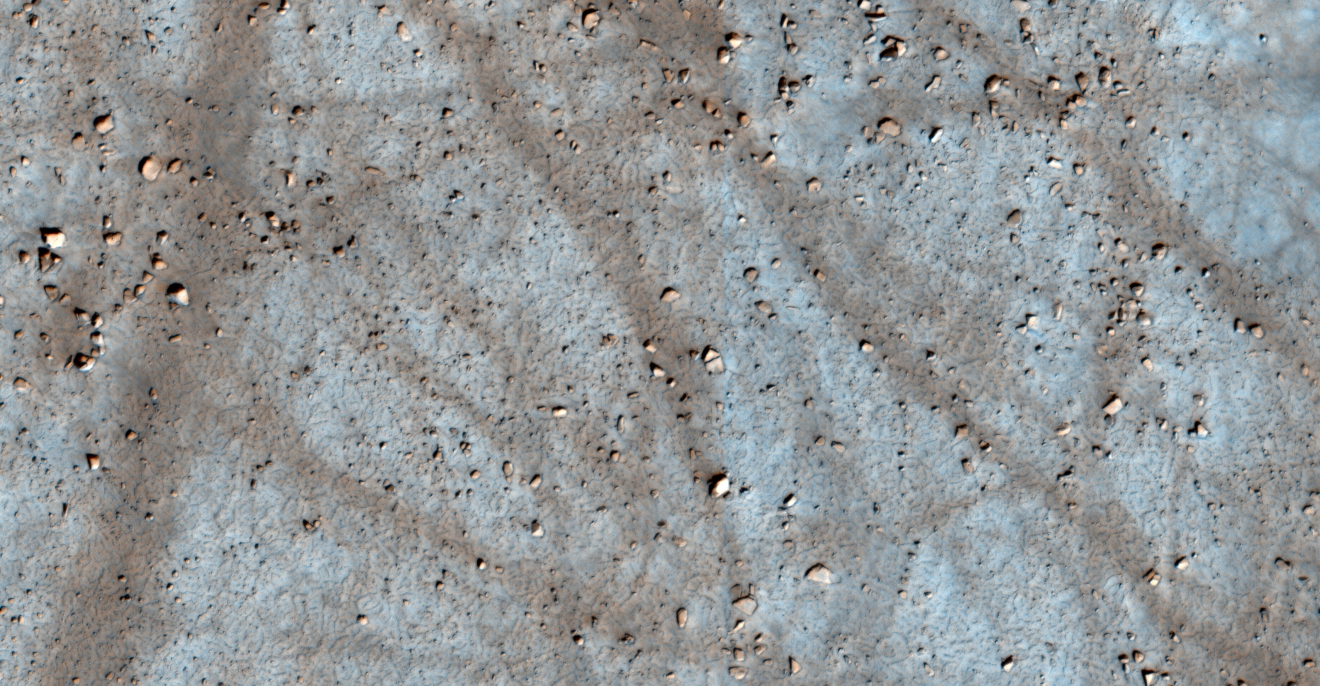
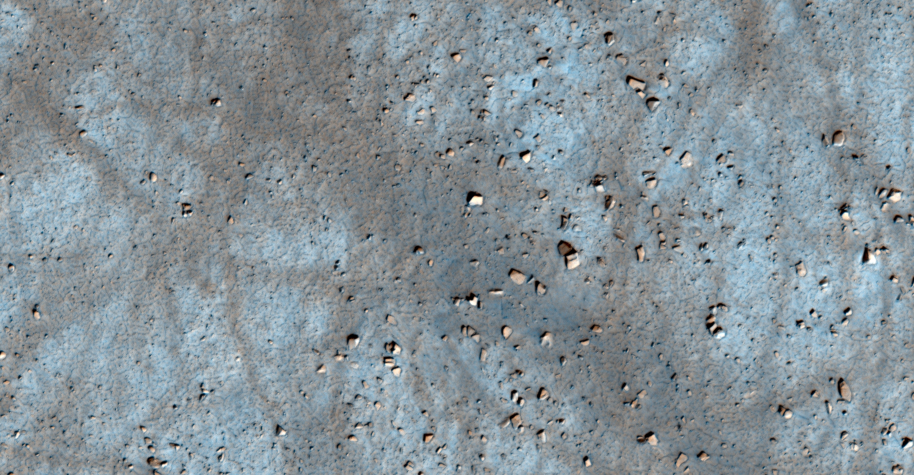
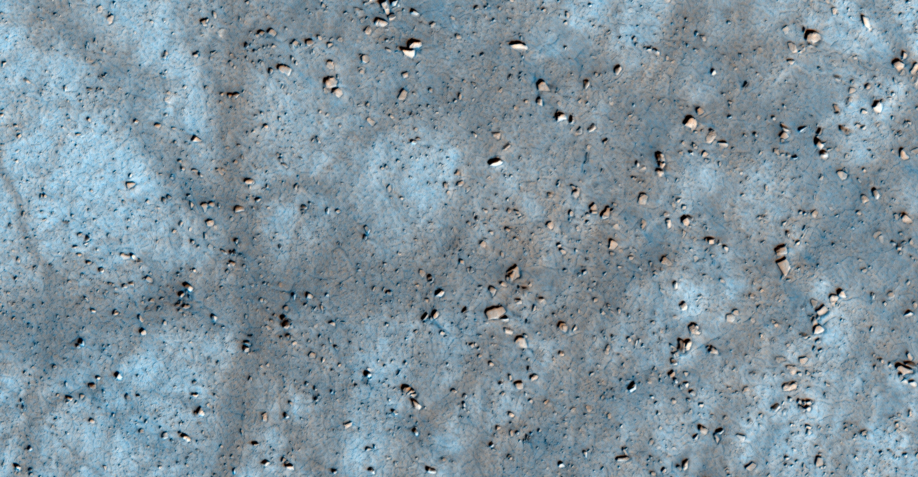
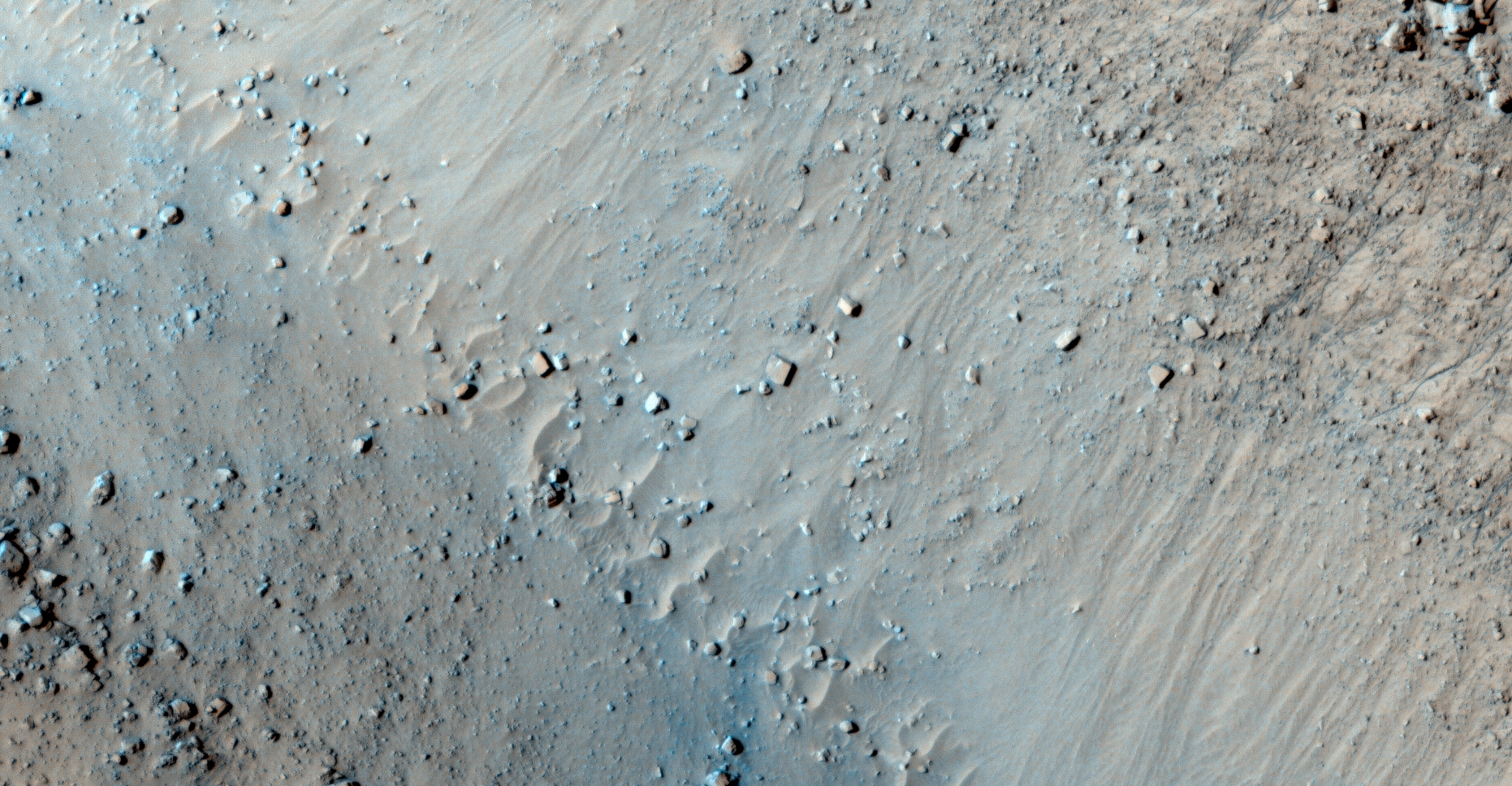
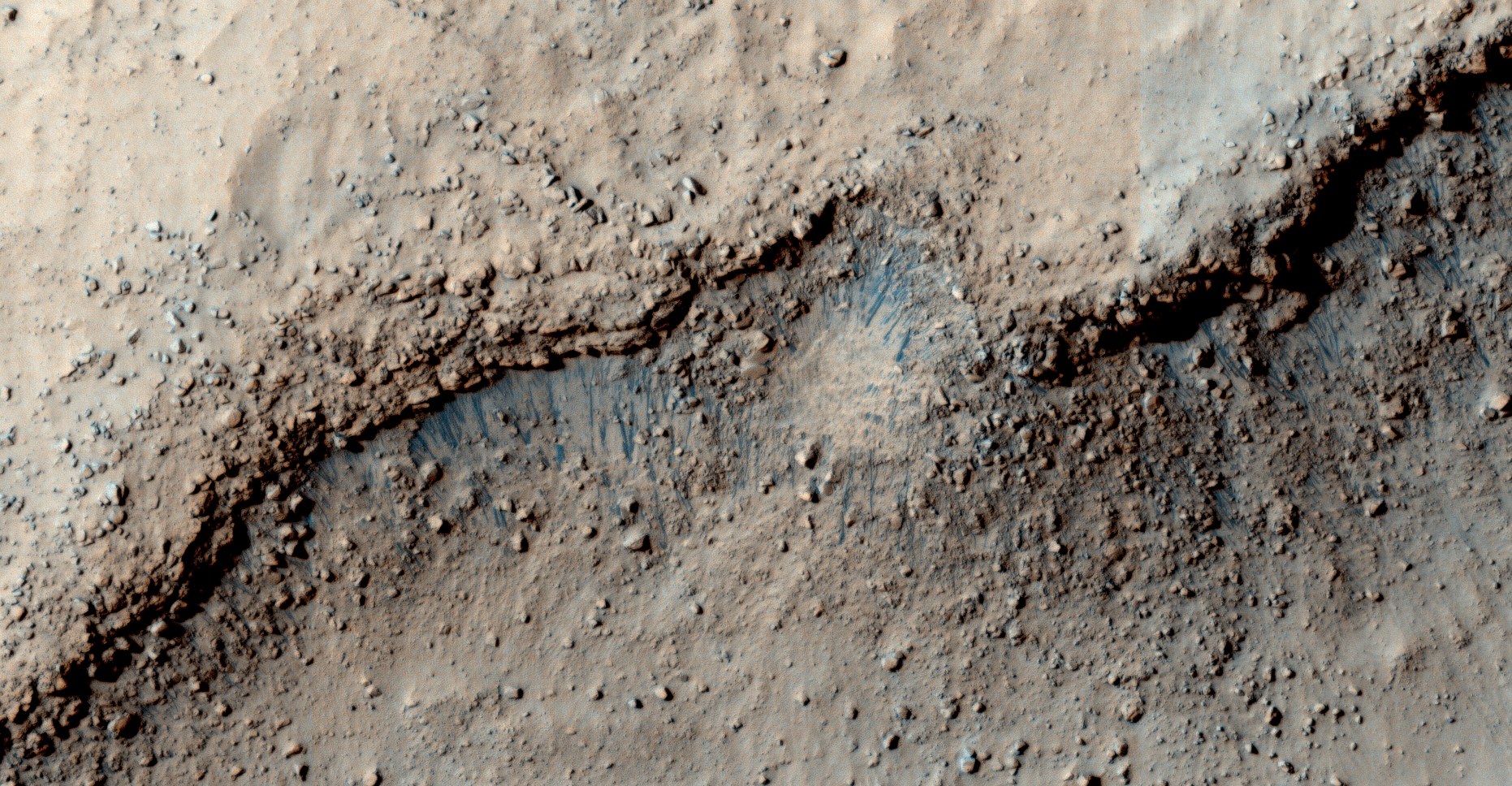
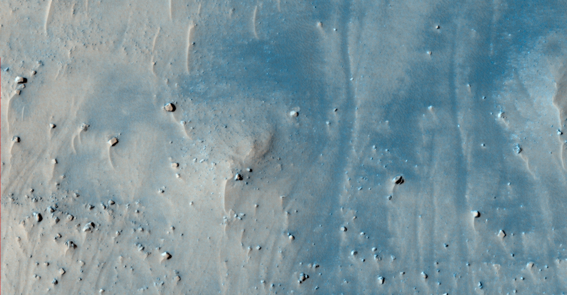
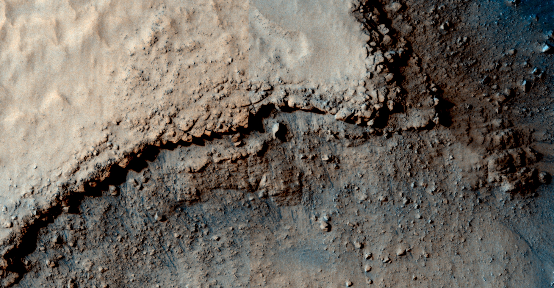
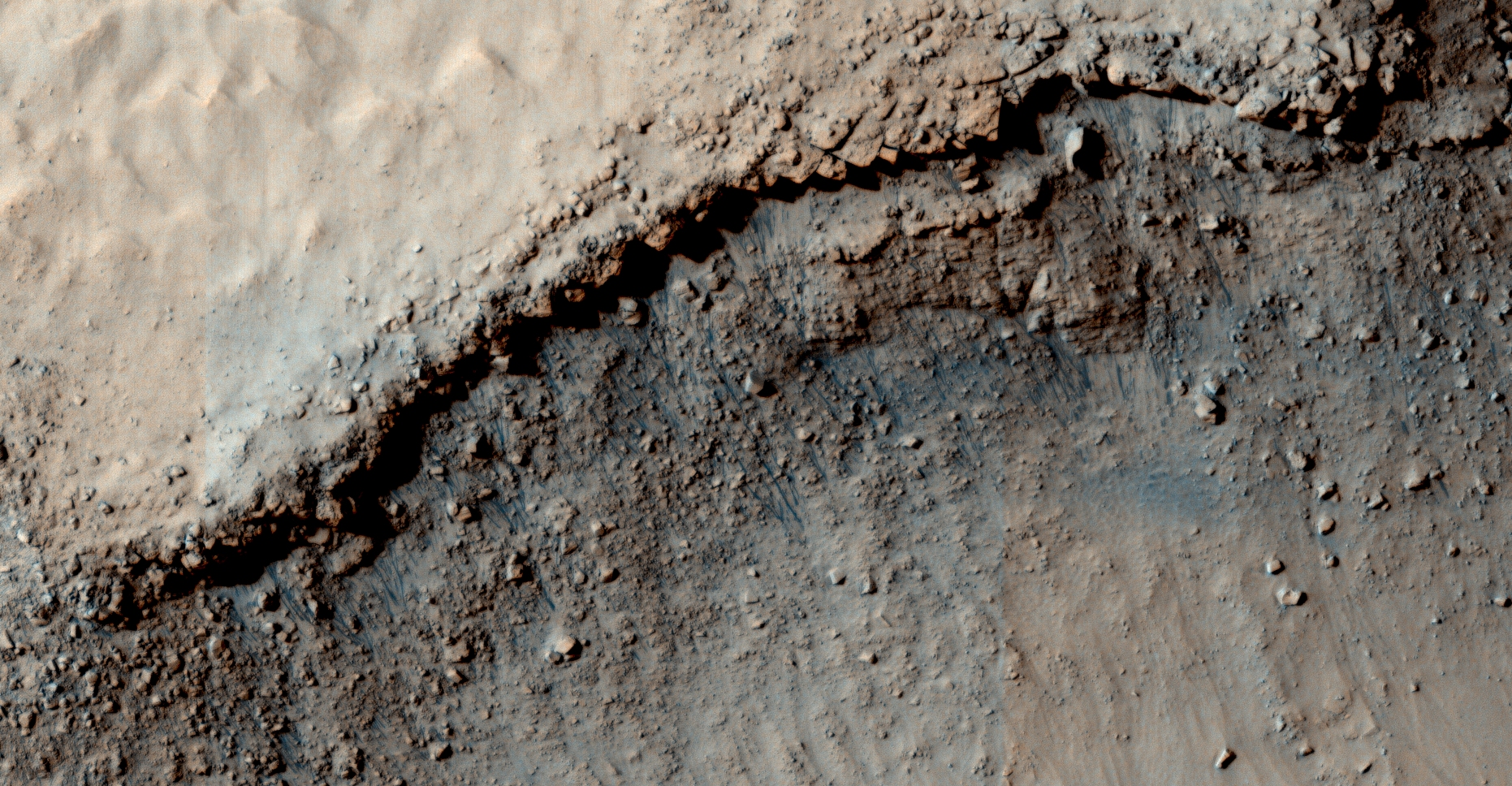
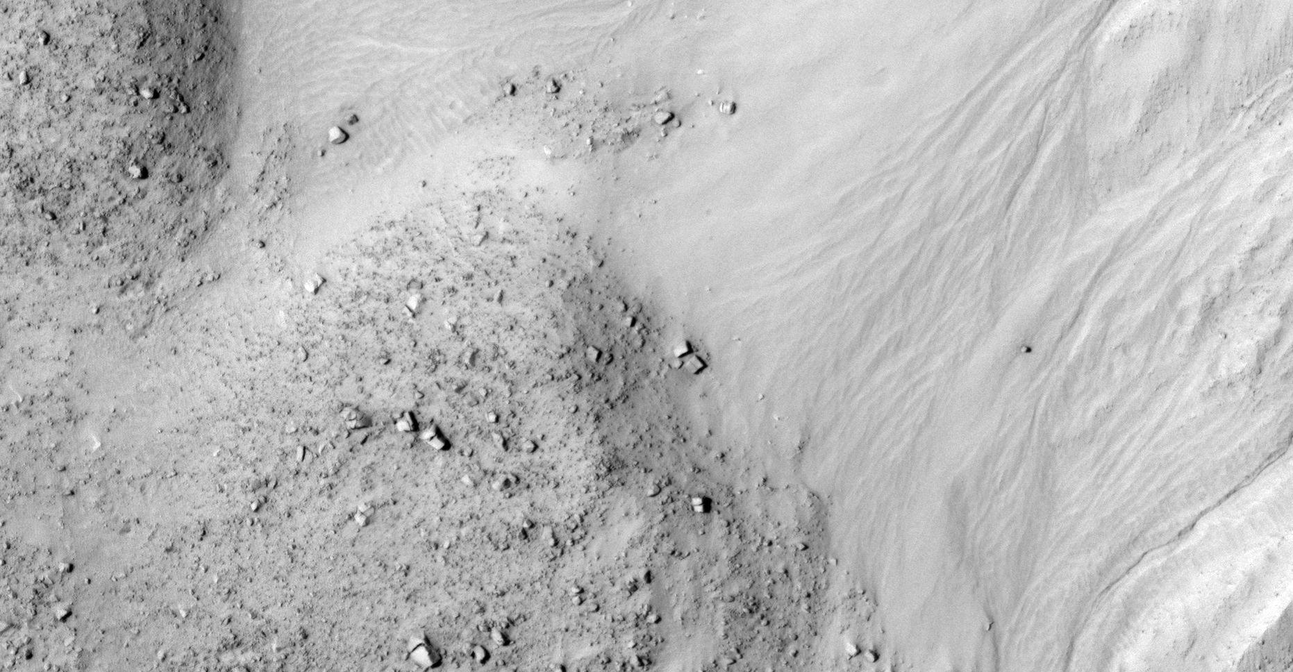
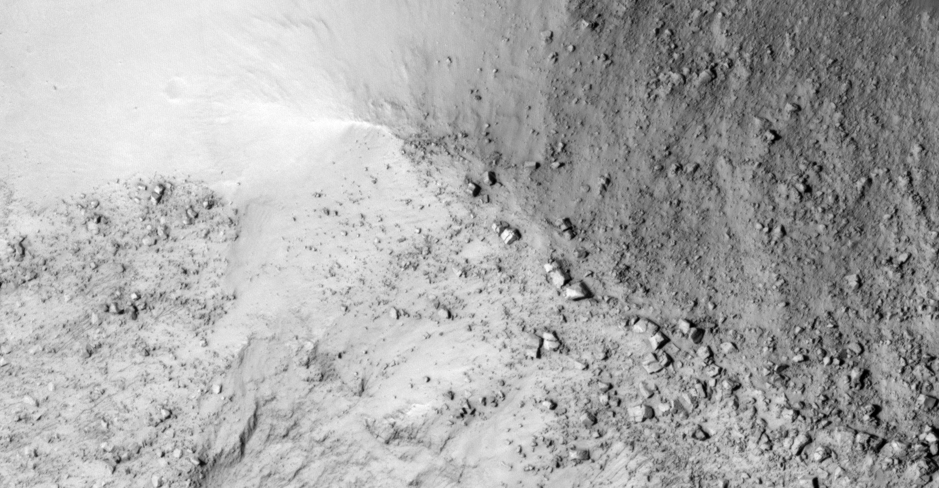
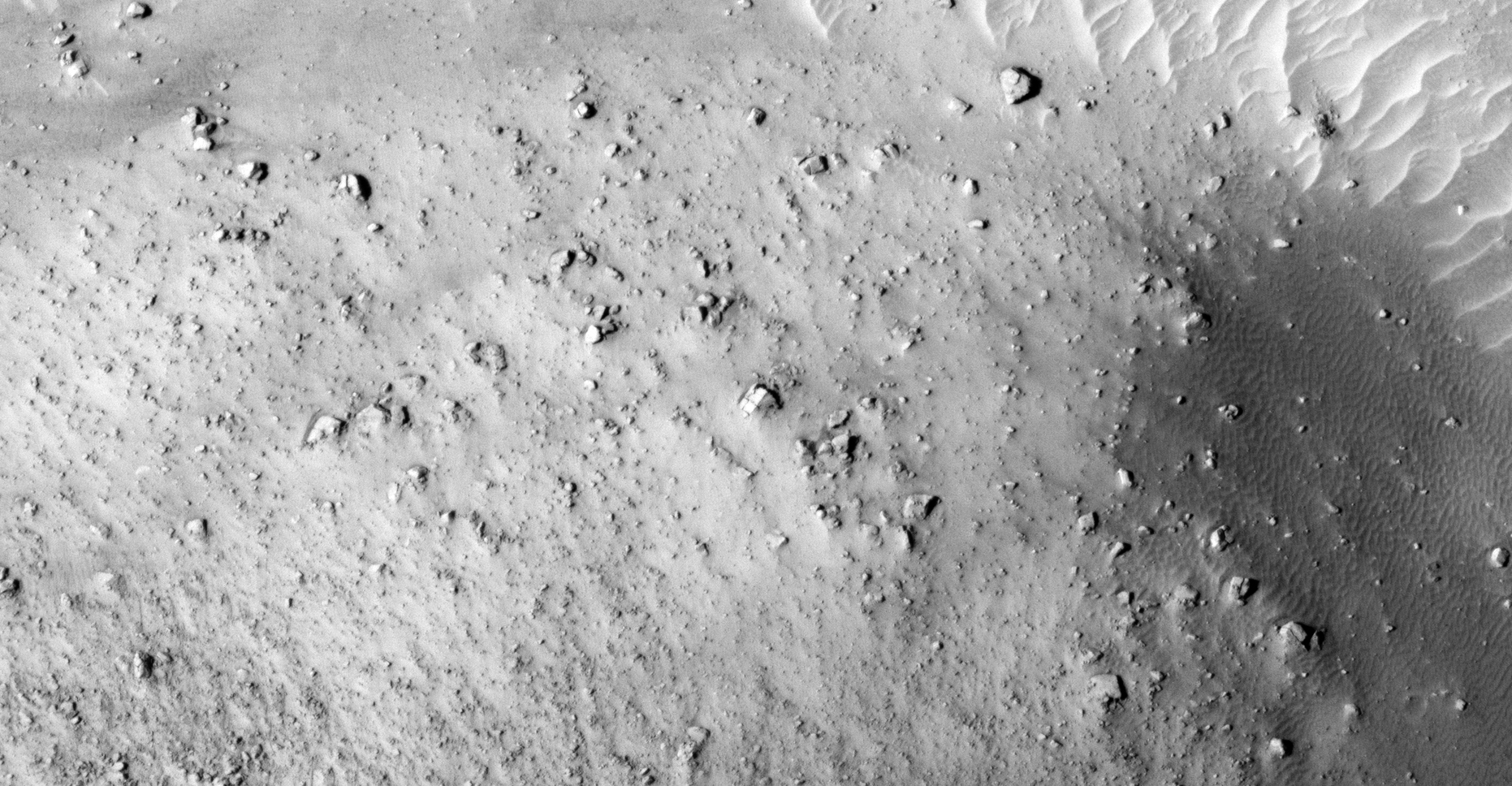
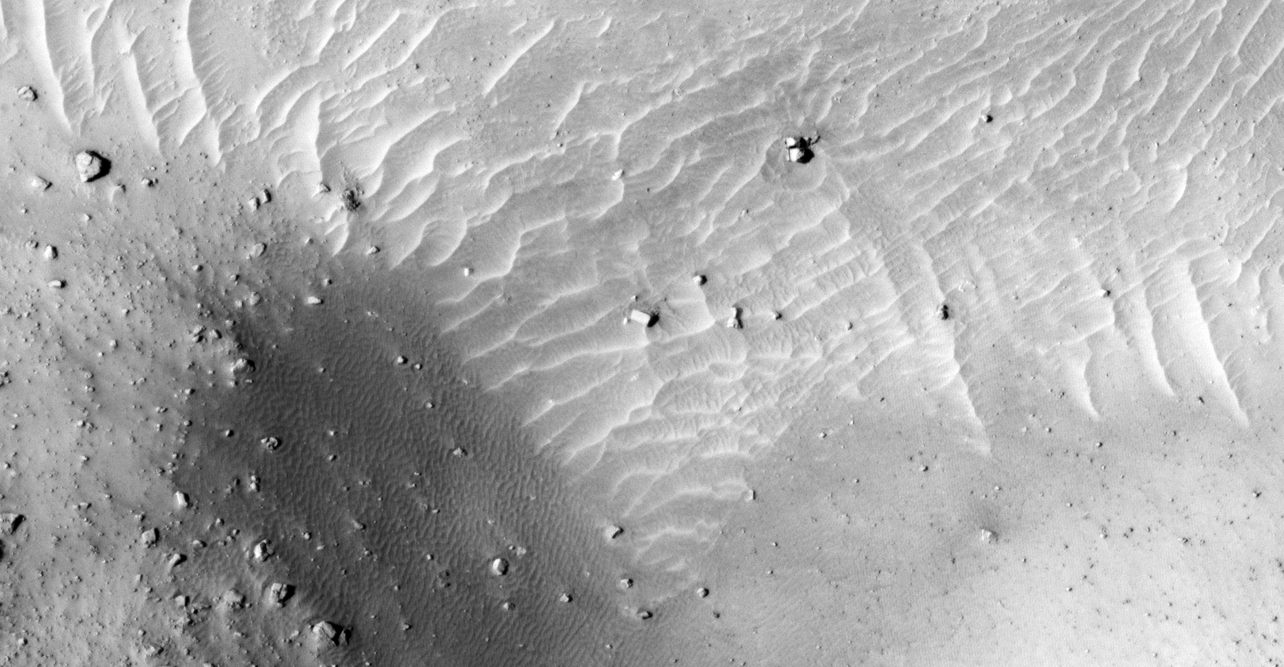
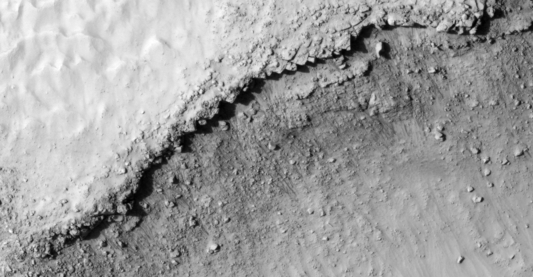
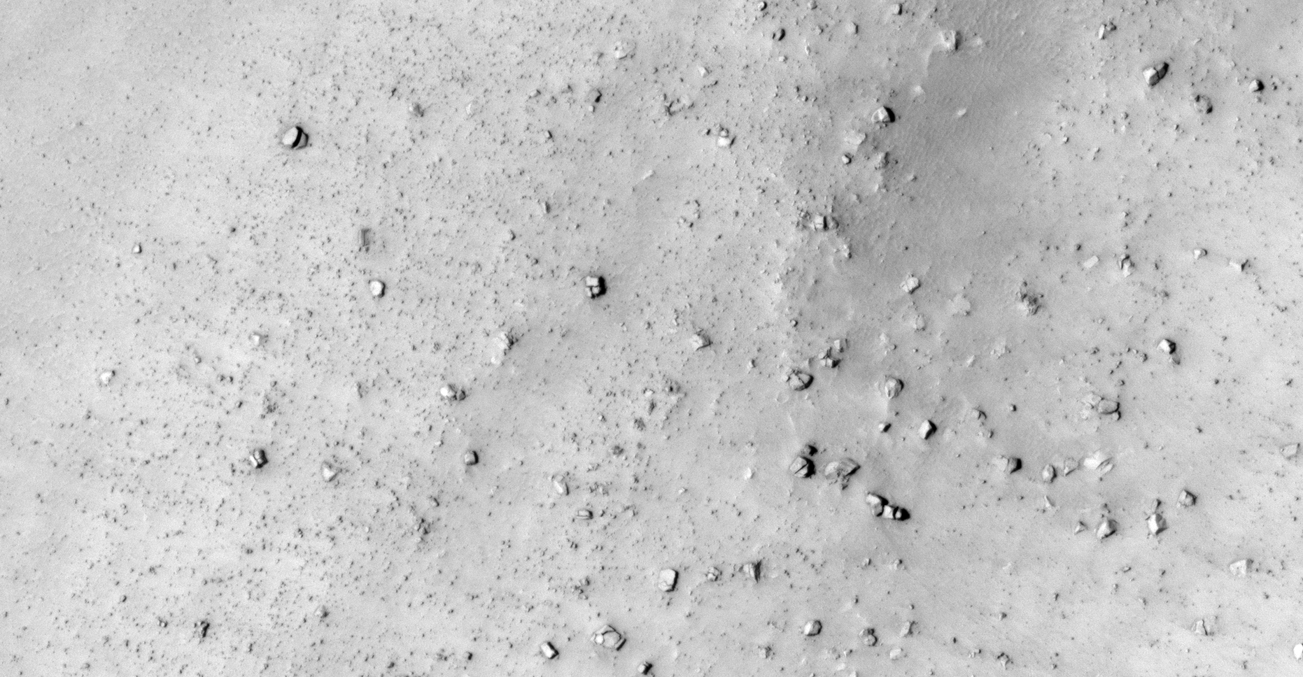
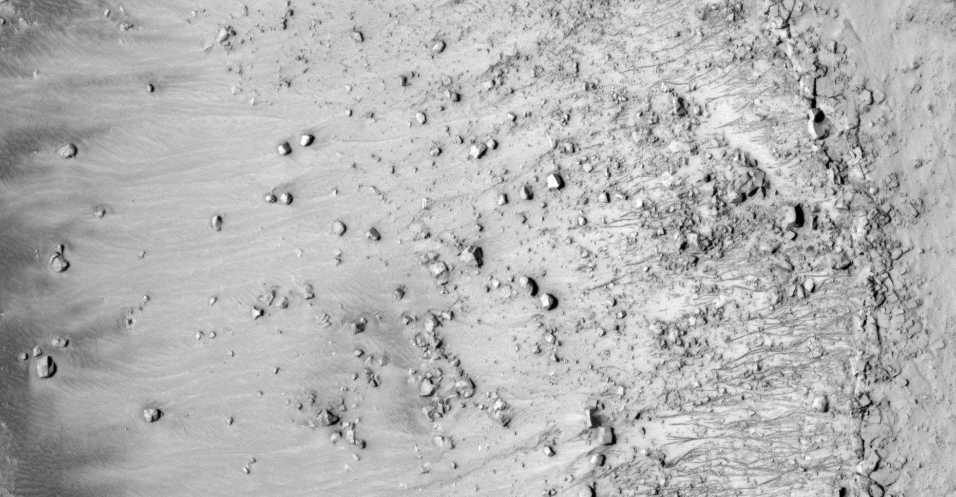
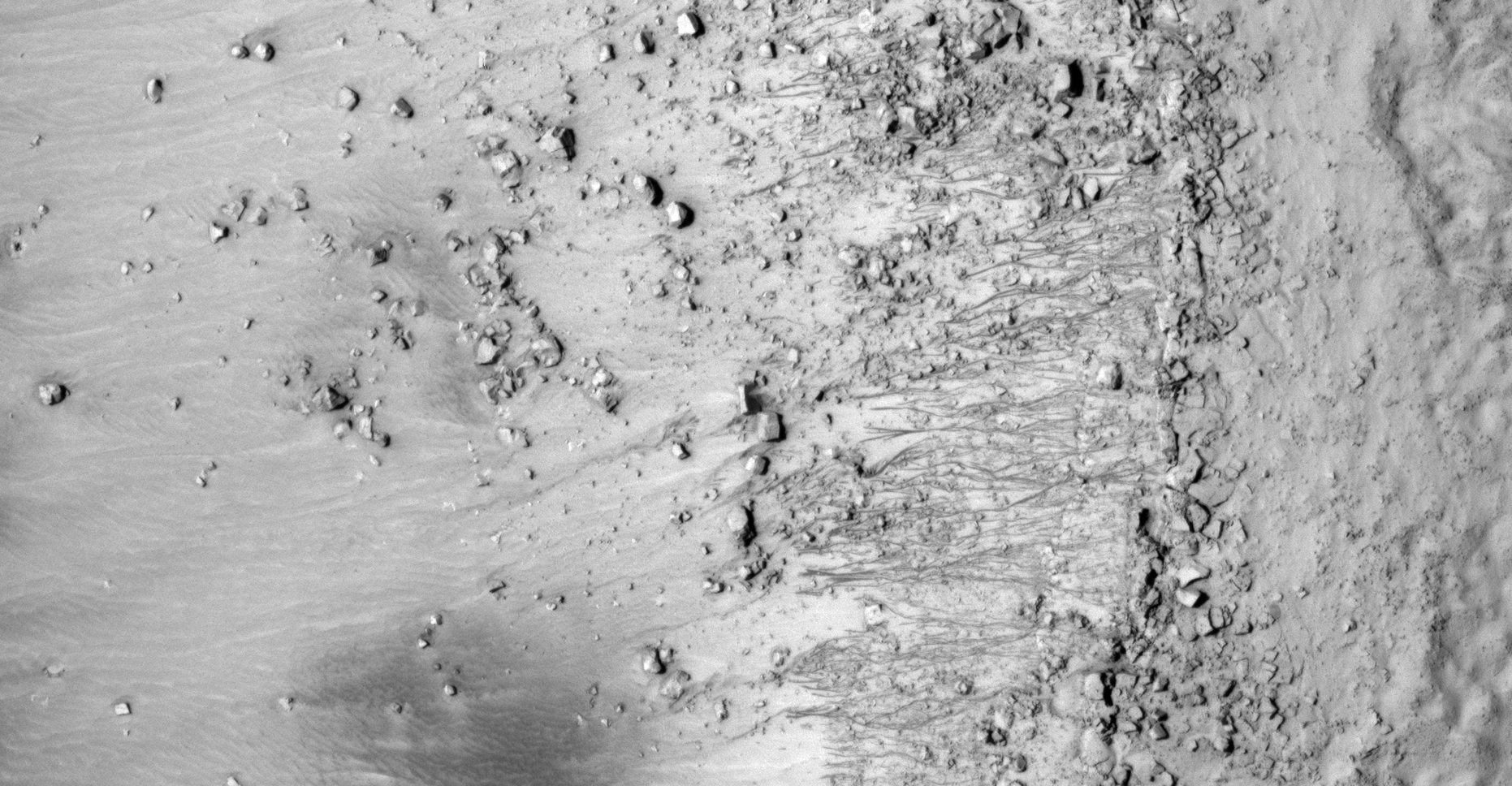
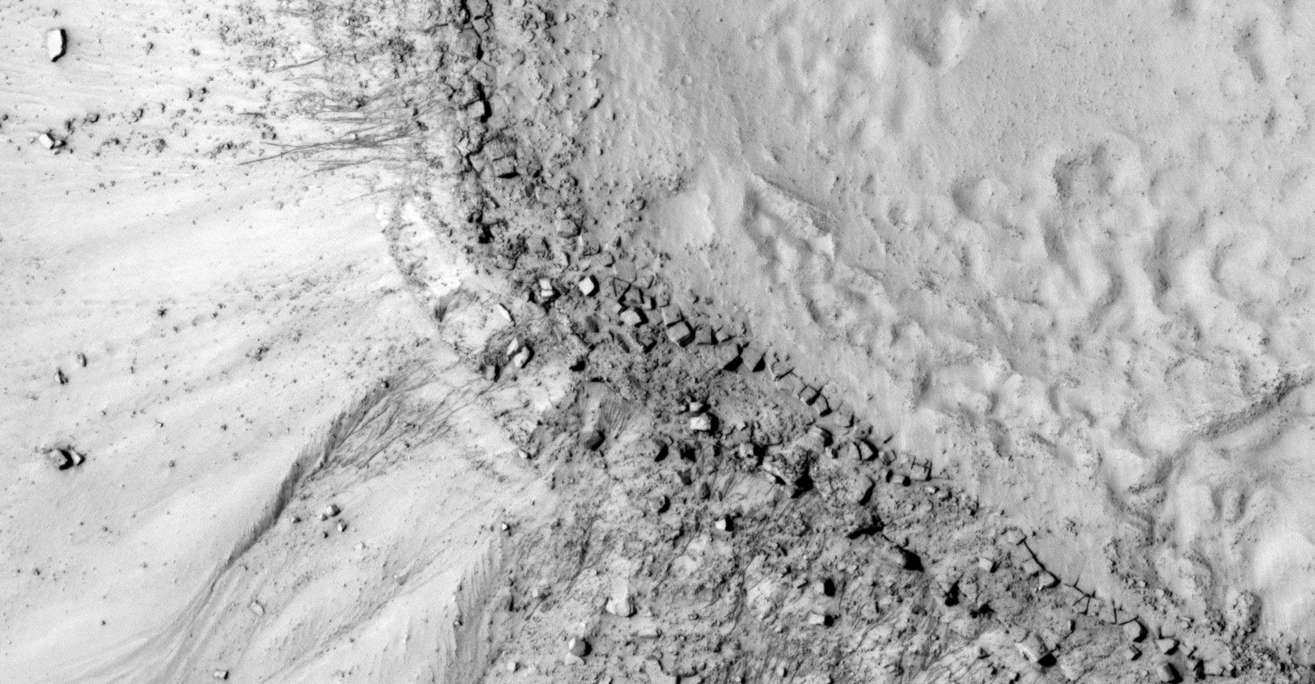
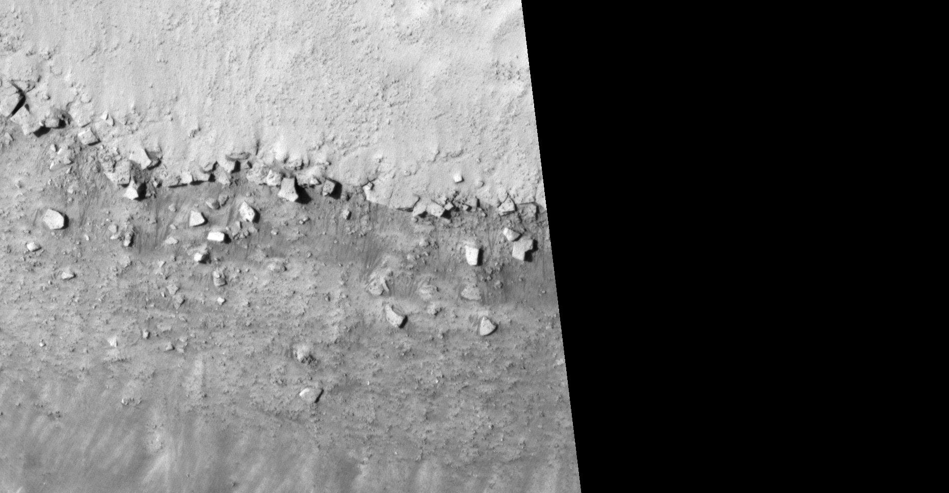
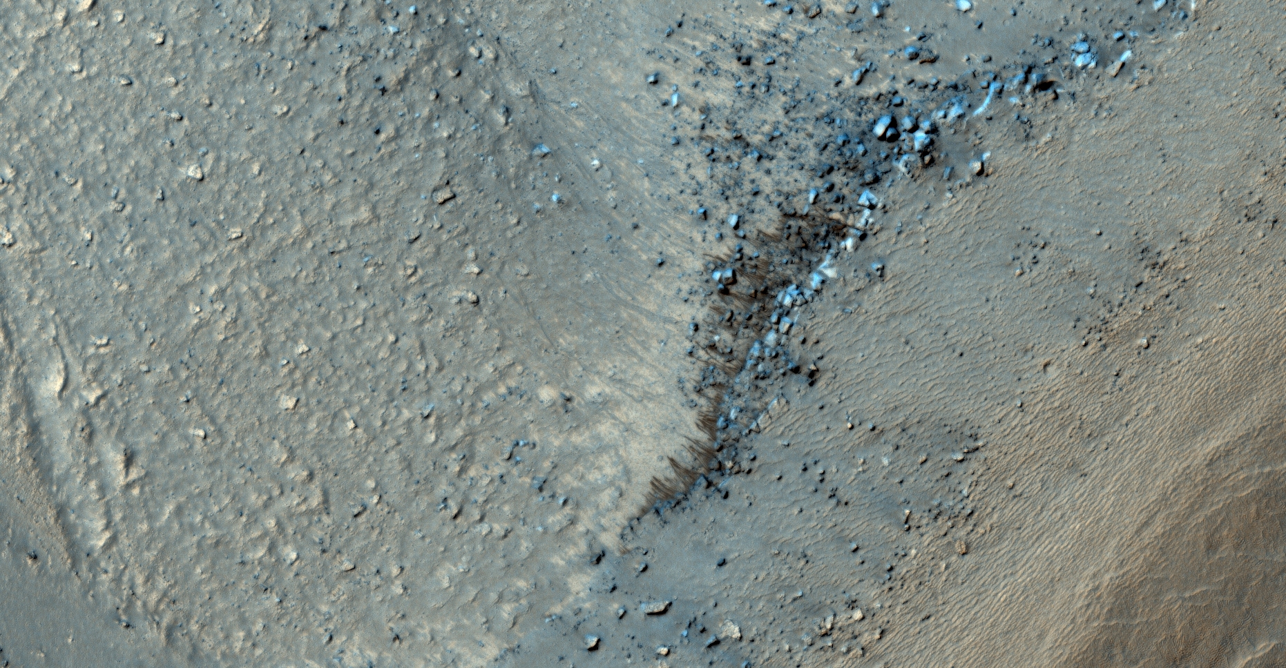
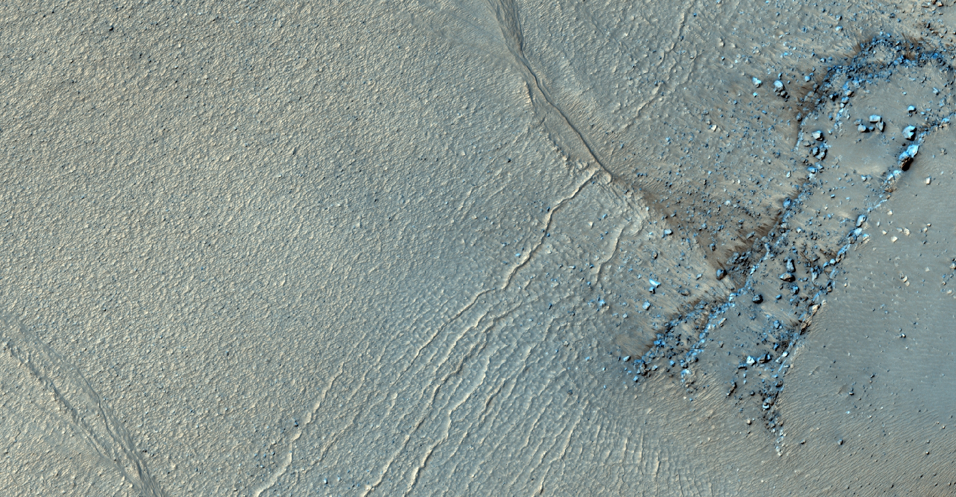
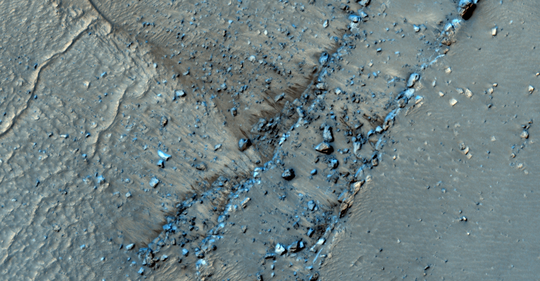
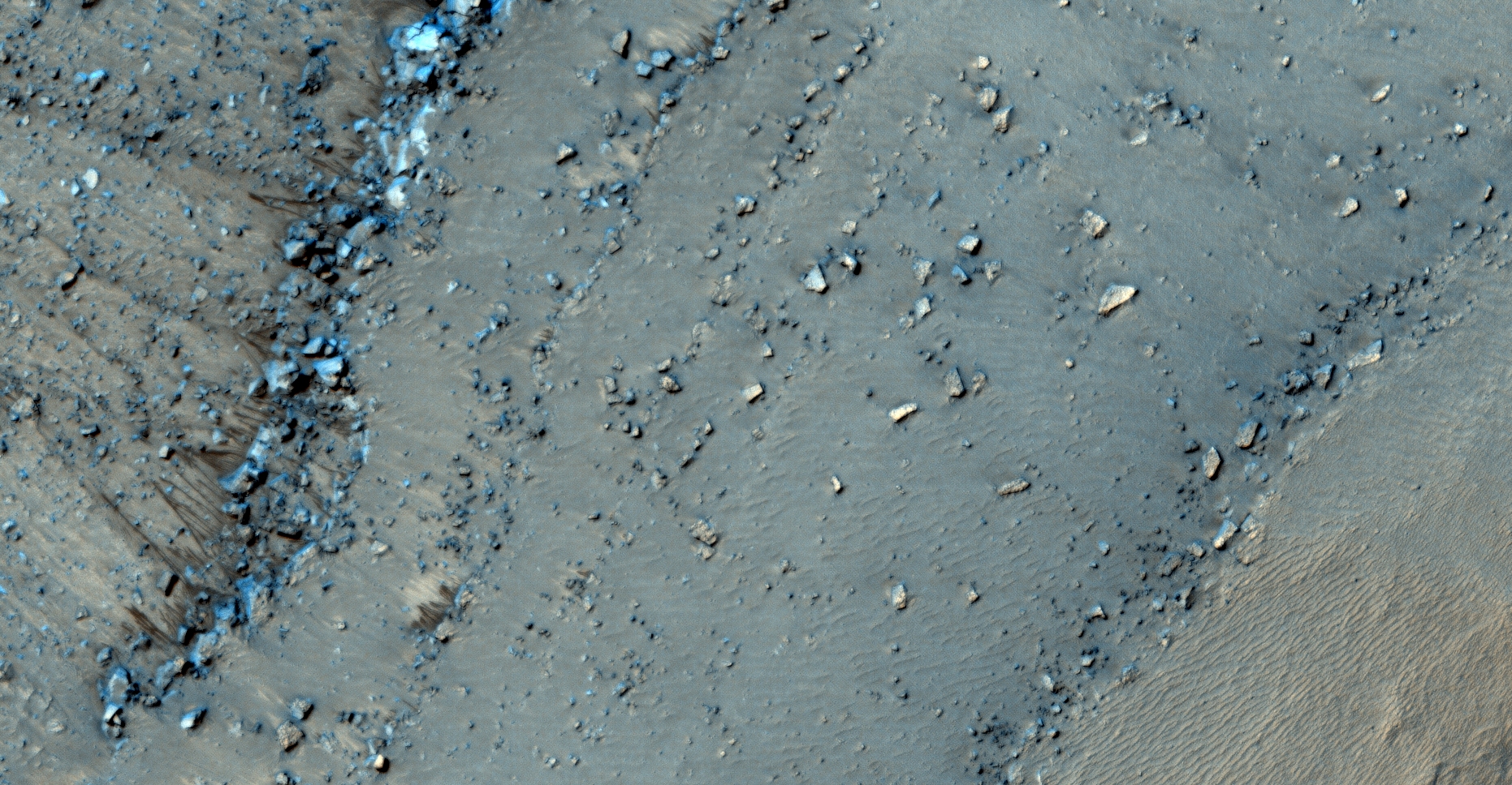
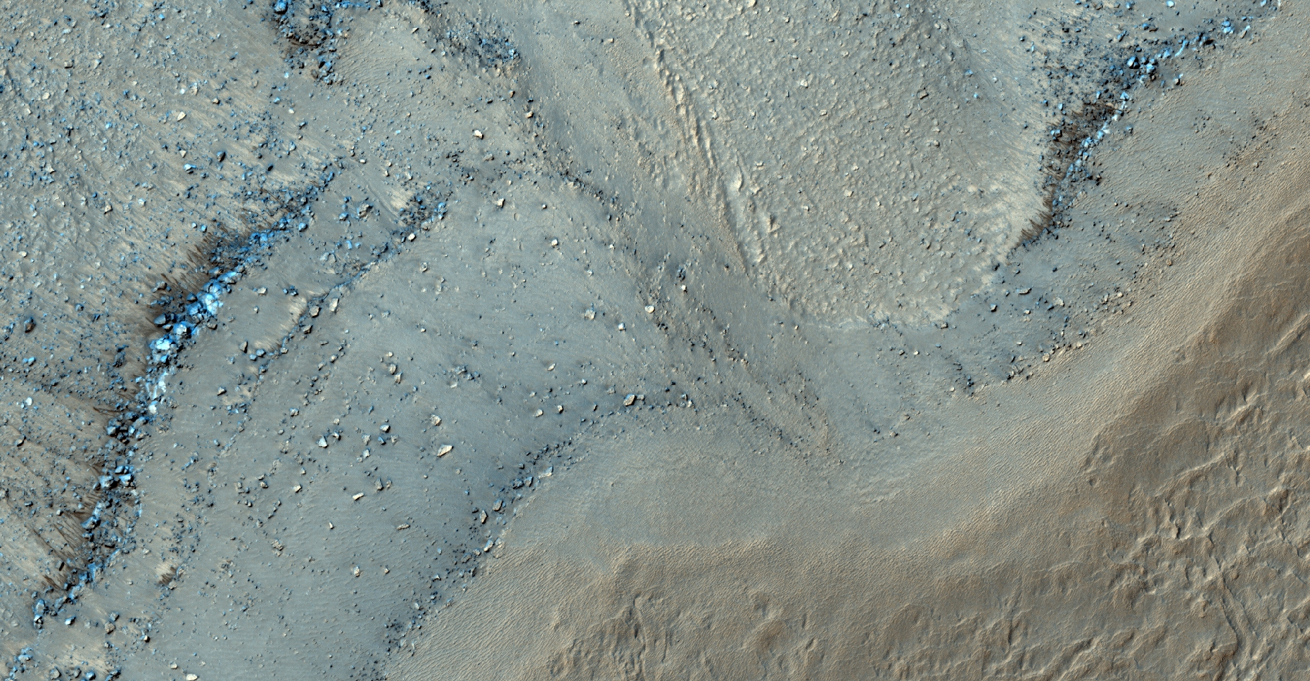
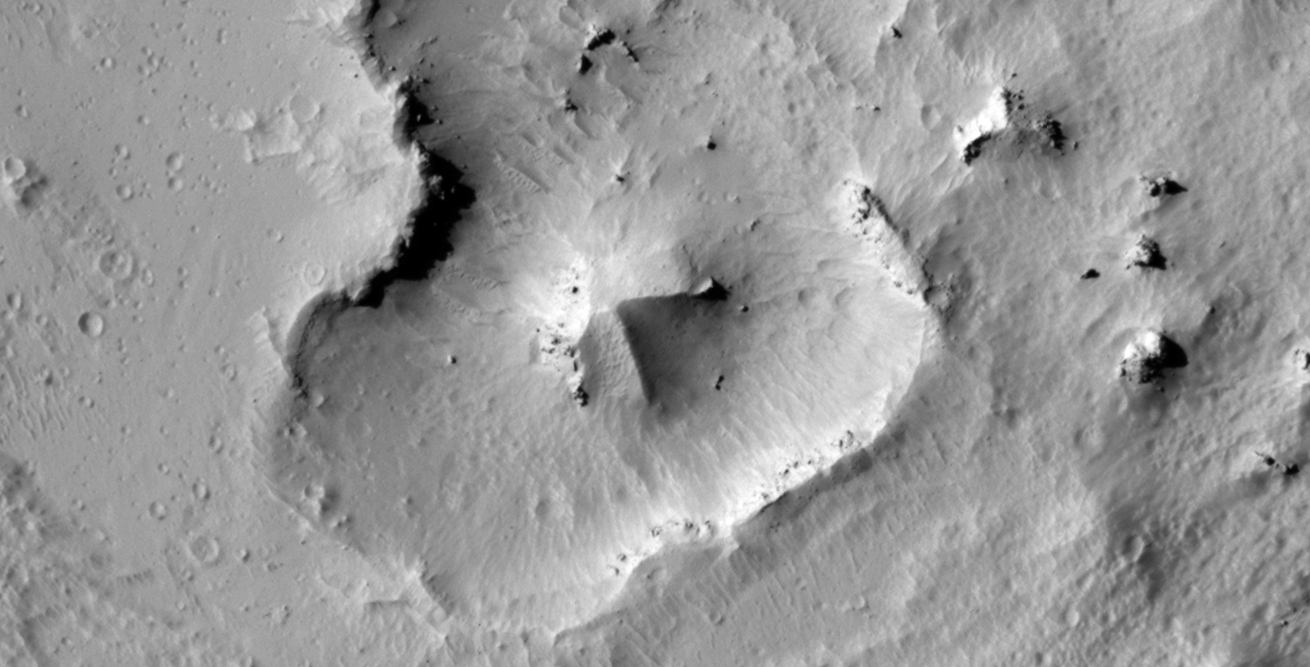
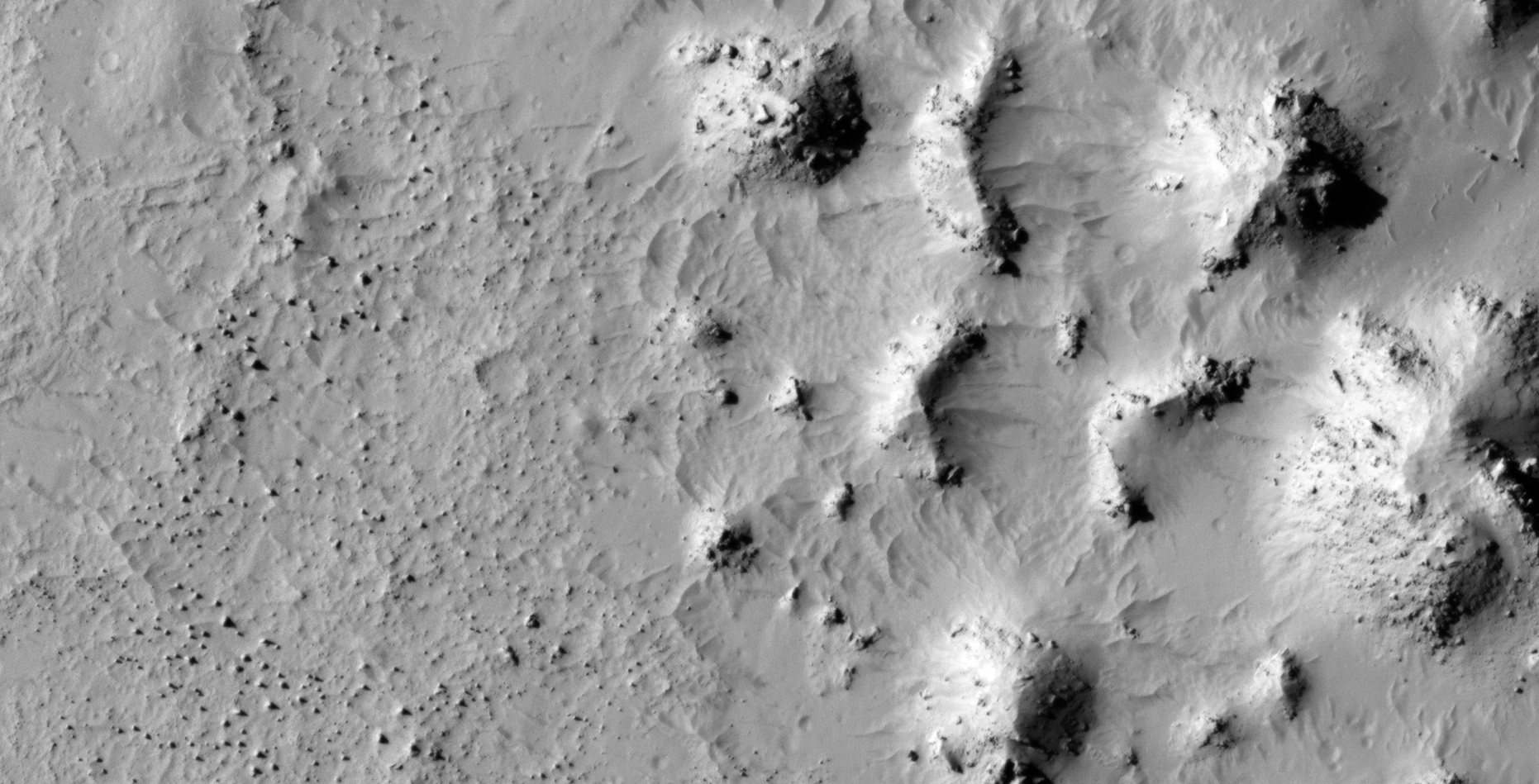
The photograph analyzed here (ESP_057720_1300) was taken by NASA’s Mars Reconnaissance Orbiter on 19 November 2018 and is described as ‘Searching for Slope Features.’
Yet again we discover thin dark streaks emanating from ridge lines and ‘running’ down slopes. These streaks seem to be caused by water/brine seeping up through the Martian surface and running down the slopes leaving the sand moist with a darker colour.
NASA claims these are nothing more than streaks caused by soil moving away leaving darker coloured material below.
I speculate water/brine may be the cause.
An elevated view of this site being analyzed (click for larger image)
The following images were cropped from the RGB Colour None-Map Projected JP2:
Original image at 1:1 scale (click for larger image)Original image zoomed out – Not to scale (click for larger image)Original image at 1:1 scale (click for larger image)Original image at 1:1 scale (click for larger image)Original image at 1:1 scale (click for larger image)Original image at 1:1 scale (click for larger image)Original image zoomed out – Not to scale (click for larger image)Original image at 1:1 scale (click for larger image)
Images saved from within HiView or CTX viewer do not include image scale indicators. The image scale indicators I include in images are based on the official resolutions provided by NASA and although I strive to be as accurate as possible there may be slight deviations from the actual scale. Image scale indicators are included as a size approximation tool only.
Geometry lines are mapped as accurately as possible using the limited information, data and mapping tools available at the time, therefore the lines may deviate from target sites by a few kilometres. Revisions may be made in the future as new, more precise information, data and mapping tools become available.
Many or all of the anomalies/artefacts covered in this presentation may be naturally occurring geological features caused by some type of geological processes, however due to the lack of specific information from the source we can only speculate whether these are all natural or some artificial in nature.
In cases where I say an anomaly looks like something I’m attempting to clarify what I see and not specifically that the anomaly is what I say it looks like.
My intention is only to share anomalies I’ve discovered on Mars and not to convince anyone that there is or was a civilization on Mars.
As Will Farrar from WhatsUpInTheSky says: “I see what I see, you see what you see.”
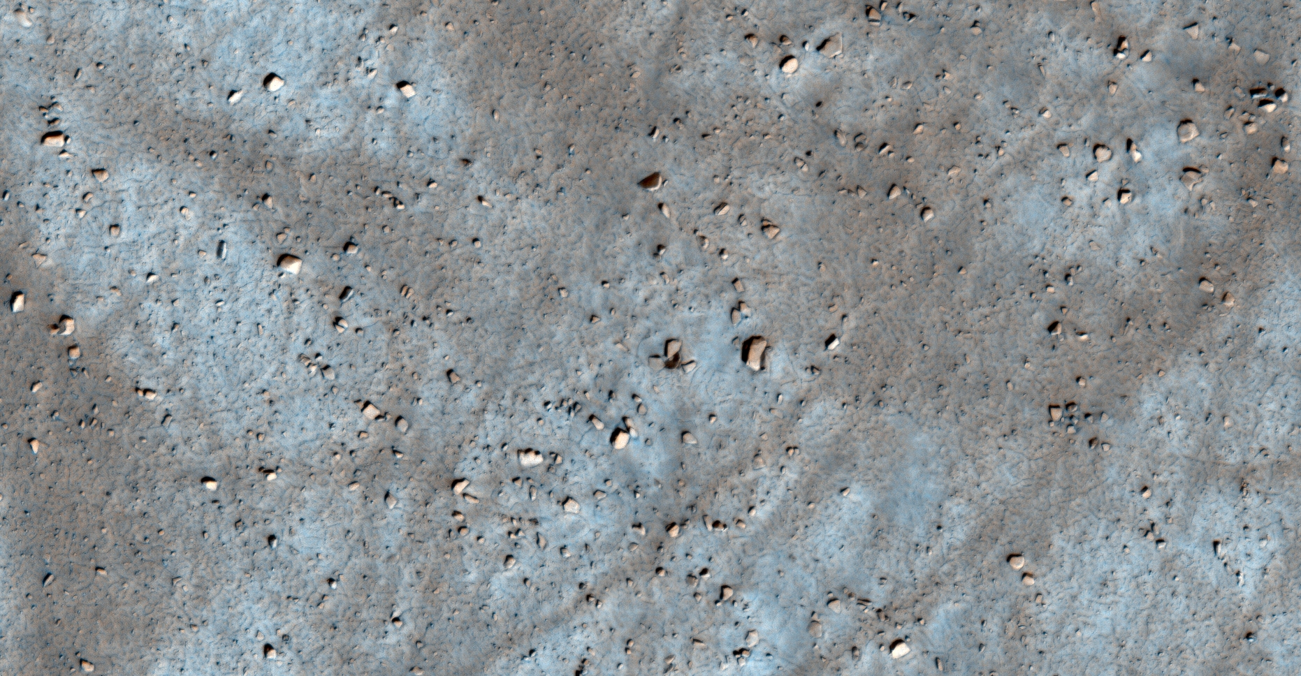
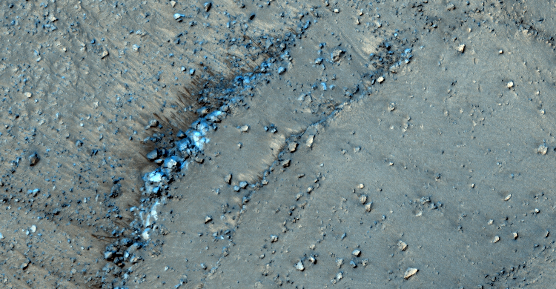
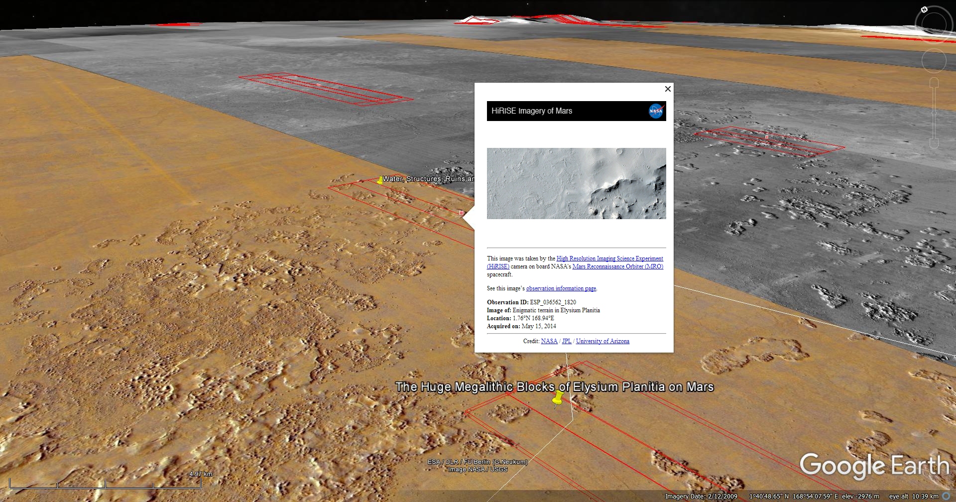
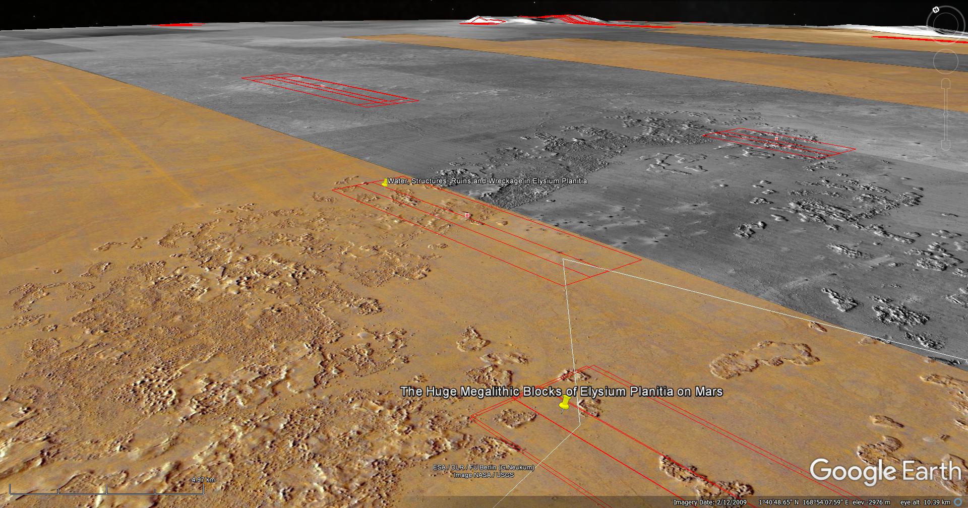
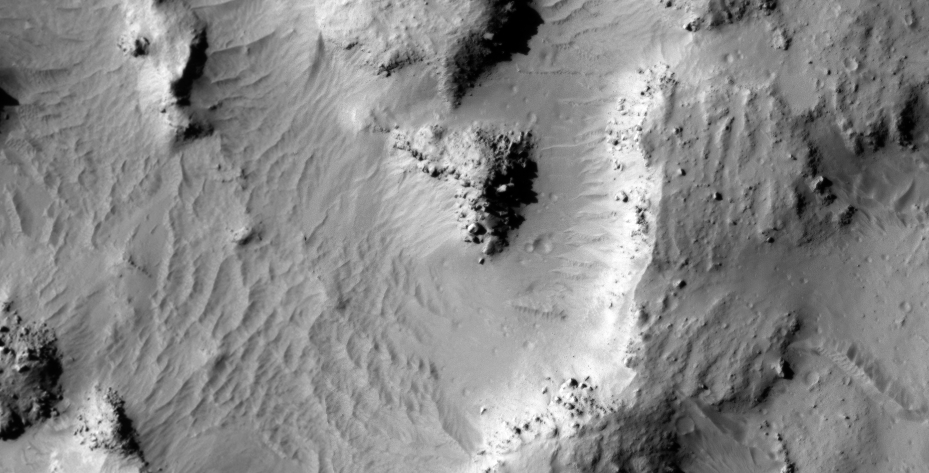
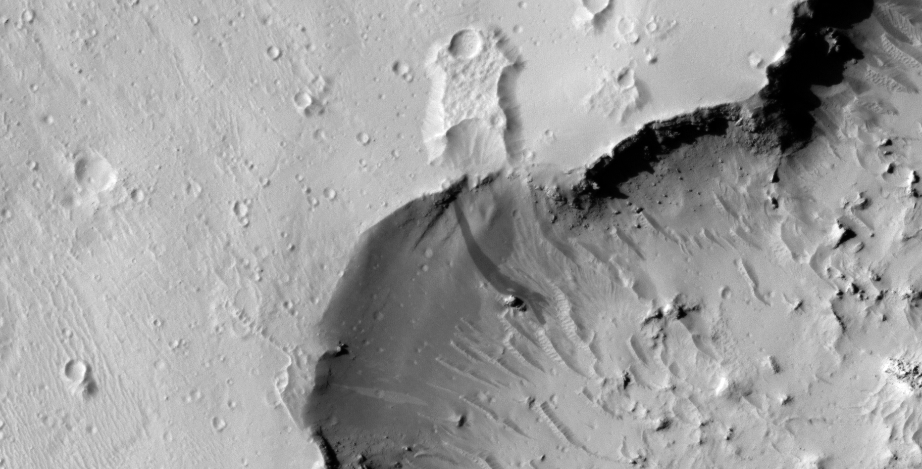
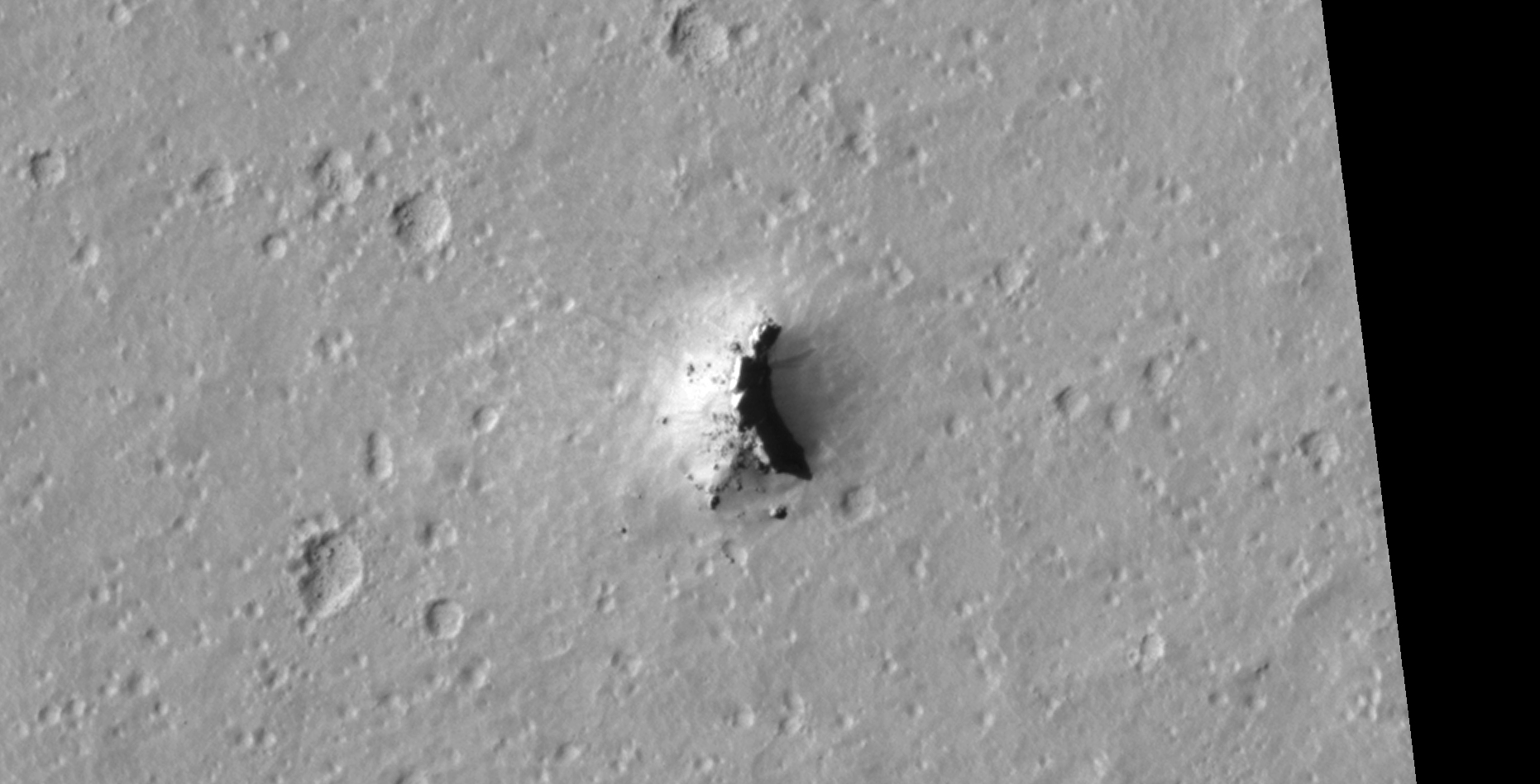
The photograph analyzed here (ESP_036562_1820) was taken by NASA’s Mars Reconnaissance Orbiter on 15 May 2014 and is described as ‘Enigmatic Terrain in Elysium Planitia.’
Here I present more megalithic blocks, ruins, structures, potentially another classic UFO-type craft (as found previously) and what appears to be various wreckage.
An elevated view of this site being analyzed (click for larger image)An elevated view of this site being analyzed (click for larger image)(click for larger image)(click for larger image)(click for larger image)(click for larger image)(click for larger image)(click for larger image)(click for larger image)(click for larger image)(click for larger image)(click for larger image)(click for larger image)(click for larger image)(click for larger image)(click for larger image)(click for larger image)(click for larger image)(click for larger image)(click for larger image)(click for larger image)(click for larger image)(click for larger image)(click for larger image)(click for larger image)(click for larger image)
Images saved from within HiView or CTX viewer do not include image scale indicators. The image scale indicators I include in images are based on the official resolutions provided by NASA and although I strive to be as accurate as possible there may be slight deviations from the actual scale. Image scale indicators are included as a size approximation tool only.
Geometry lines are mapped as accurately as possible using the limited information, data and mapping tools available at the time, therefore the lines may deviate from target sites by a few kilometres. Revisions may be made in the future as new, more precise information, data and mapping tools become available.
Many or all of the anomalies/artefacts covered in this presentation may be naturally occurring geological features caused by some type of geological processes, however due to the lack of specific information from the source we can only speculate whether these are all natural or some artificial in nature.
In cases where I say an anomaly looks like something I’m attempting to clarify what I see and not specifically that the anomaly is what I say it looks like.
My intention is only to share anomalies I’ve discovered on Mars and not to convince anyone that there is or was a civilization on Mars.
As Will Farrar from WhatsUpInTheSky says: “I see what I see, you see what you see.”
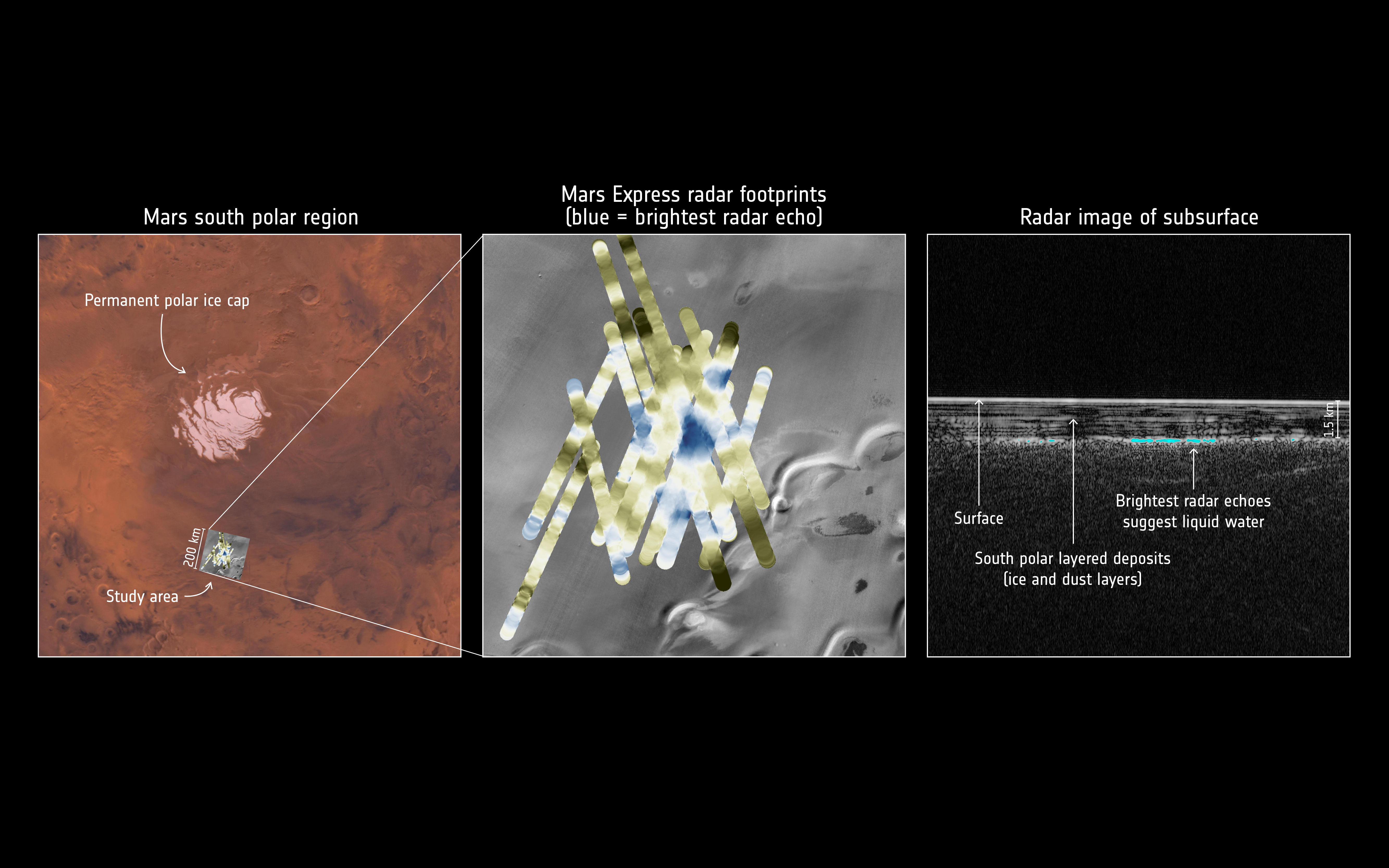
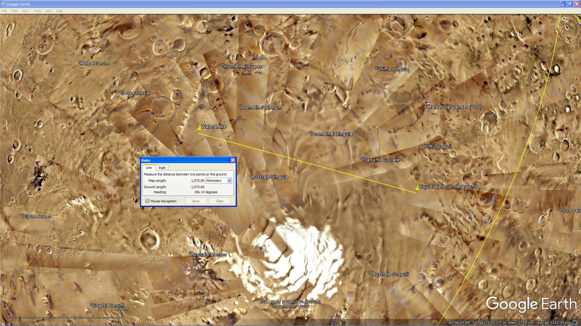
On 25 July 2018 the ESA announced that it’s Mars Express Orbiter discovered a huge liquid water lake under the Martian surface near the South Pole using its on board radar.
ESA images showing details of the recent discovery (click for larger image)
About 1000 km to the west, in an MOC photograph (M0901354) taken by NASA in 1999, we can see what appears to be a lake surrounded by vegetation as well as what looks like a long, straight, artificial shore-line to the West with equally spaced and sized anomalies in a straight line.
An area showing a lake on the Martian surface about 1000 km to the west of the underground liquid water lake (click for larger image)
A MRO HiRISE photograph (ESP_023024_1010) taken of the same area about 12 years later shows the lake, however it seems it has either dried up or frozen over. The surrounding vegetation also seems to have died and vanished.
I speculate that due to the pressure Elon Musk’s SpaceX and their race to Mars is placing the agencies involved in a decades long cover up, the truth is being revealed in a slow, soft disclosure fashion.
I further speculate that we will soon hear that liquid water has been discovered on the Martian surface.
Recent disclosure/confirmation events:
Here is a list of the latest disclosure or confirmation events that have reached mainstream news recently, note the short time frame:
The following MRO CTX photograph (F12_040281_0982_XN_81S165W) shows the general area in which the ESA discovered the underground liquid water lake:
Area to the north of CTX photograph (F12_040281_0982_XN_81S165W) (click for larger image)Area to the south of CTX photograph (F12_040281_0982_XN_81S165W) (click for larger image)
Lake and vegetation found on Mars:
The two photographs analysed below show what appears to be a lake on the Martian surface.
The first photograph (M09-01354) shows what looks like liquid water and vegetation surrounding the lake.
Lake and vegetation found on Mars, note the artificial shore-line to the left with equally spaced and sized anomalies in a straight line (M09-01354) (click for larger image)
The second photograph (ESP_023024_1010) taken about 12 years later appears to show a dried up lake bed and it looks like the vegetation surrounding it has died.
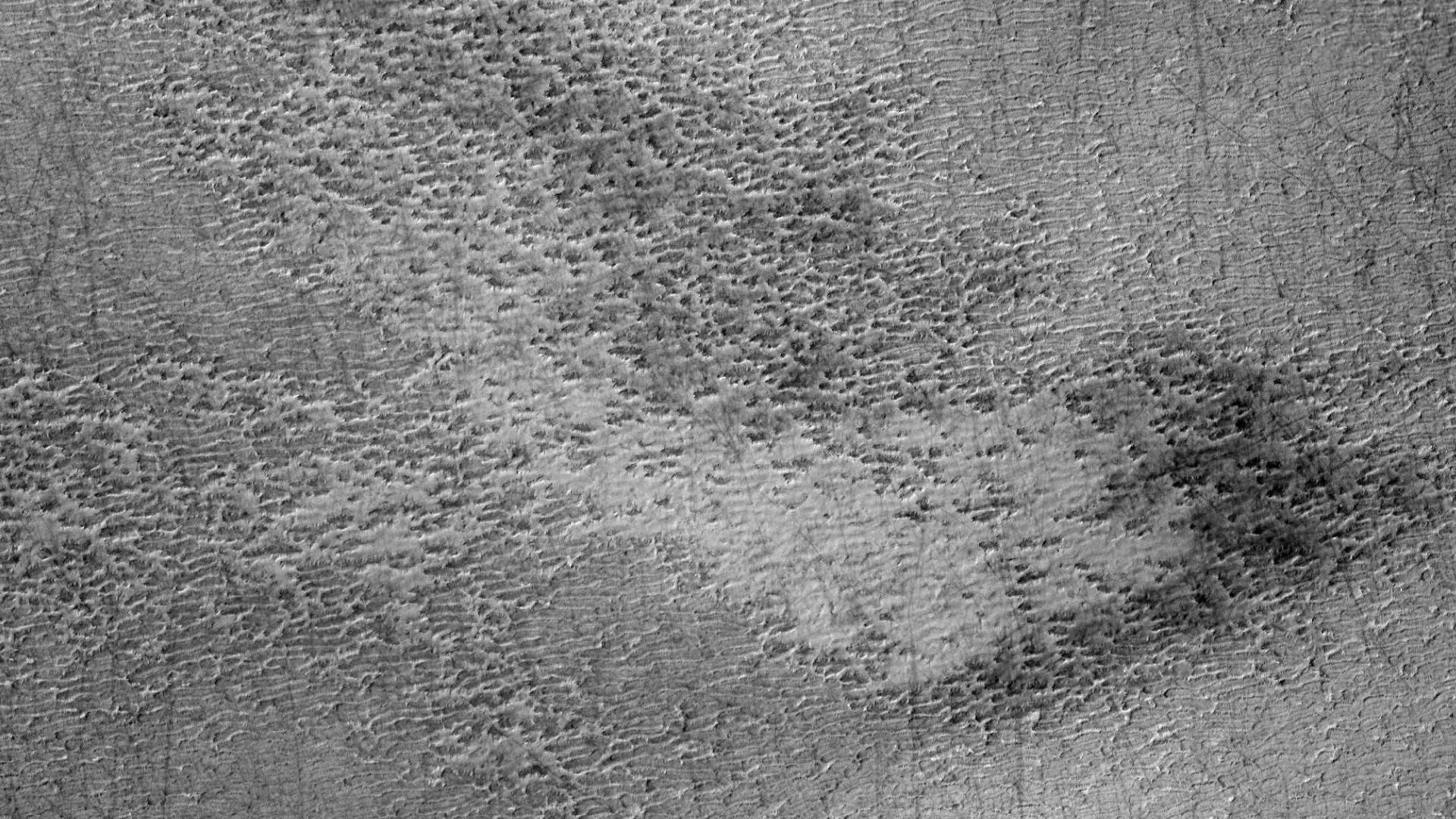
The following images show a smaller lake located to the north in this CTX photograph:
Smaller Lake to the north (zoomed out) (click for larger image)Smaller Lake to the north (click for larger image)Smaller Lake to the north (click for larger image)
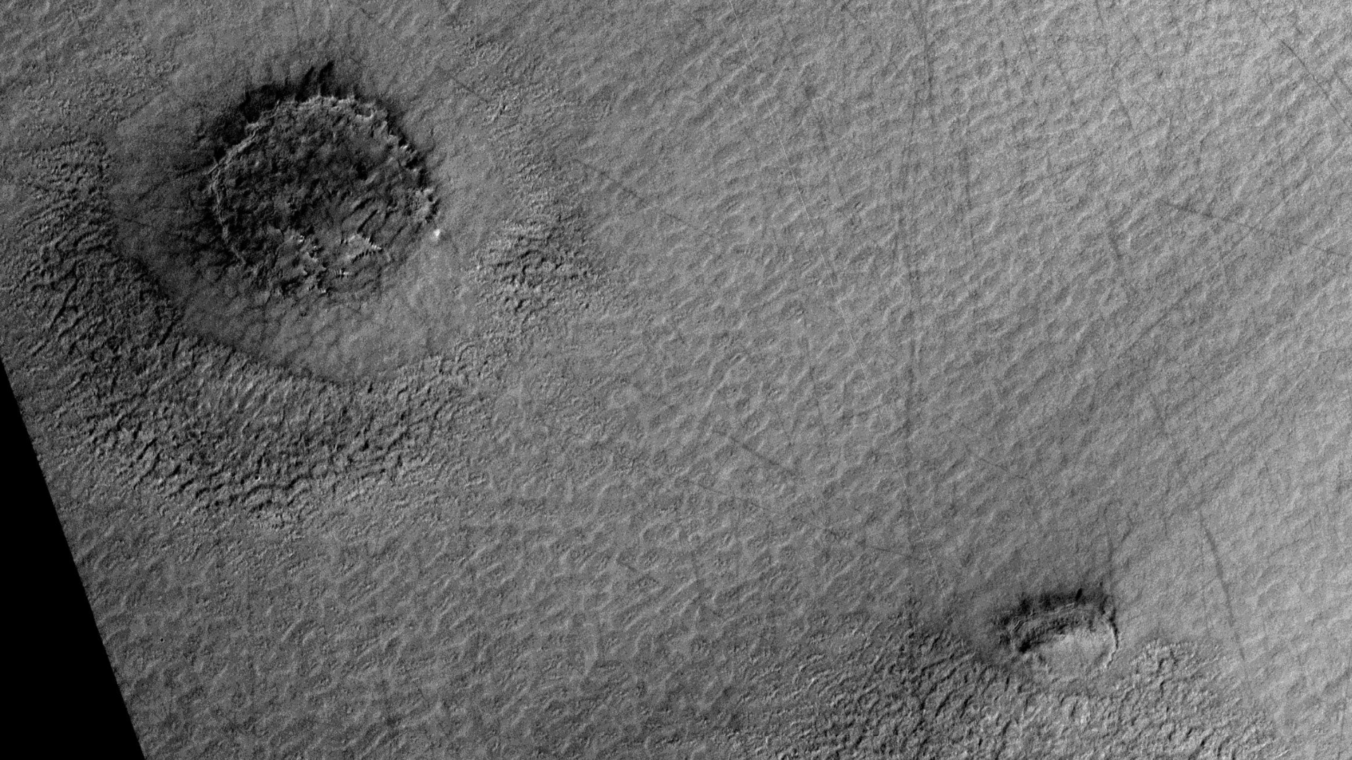
The following images show a larger lake located to the south in this CTX photograph:
Larger Lake to the south (zoomed out) (click for larger image)Larger Lake to the south (click for larger image)Larger Lake to the south (click for larger image)Larger Lake to the south (click for larger image)Larger Lake to the south (click for larger image)Larger Lake to the south (click for larger image)Larger Lake to the south (click for larger image)Larger Lake to the south (click for larger image)Larger Lake to the south (click for larger image)Larger Lake to the south (click for larger image)
Upon closer inspection it looks like the shore-line of the larger lake in the earlier photograph is narrower than in the second photograph indicating the presence of might very well be water, therefore the deduction can be made that the shore-line being wider in the second photograph is as a result of the lack of water.
The vegetation may have died or dried out due to a seasonal change, e.g. being winter at the time the second photograph was taken. We have seen dramatic changes on the Martian surface during summer months when liquid water is seen seeping out of the sand and running down gullies, etc. It might be that the vegetation may return during summer months on Mars.
Images saved from within HiView or CTX viewer do not include image scale indicators. The image scale indicators I include in images are based on the official resolutions provided by NASA and although I strive to be as accurate as possible there may be slight deviations from the actual scale. Image scale indicators are included as a size approximation tool only.
Geometry lines are mapped as accurately as possible using the limited information, data and mapping tools available at the time, therefore the lines may deviate from target sites by a few kilometres. Revisions may be made in the future as new, more precise information, data and mapping tools become available.
Many or all of the anomalies/artefacts covered in this presentation may be naturally occurring geological features caused by some type of geological processes, however due to the lack of specific information from the source we can only speculate whether these are all natural or some artificial in nature.
In cases where I say an anomaly looks like something I’m attempting to clarify what I see and not specifically that the anomaly is what I say it looks like.
My intention is only to share anomalies I’ve discovered on Mars and not to convince anyone that there is or was a civilization on Mars.
As Will Farrar from WhatsUpInTheSky says: “I see what I see, you see what you see.”


-Large.gif)