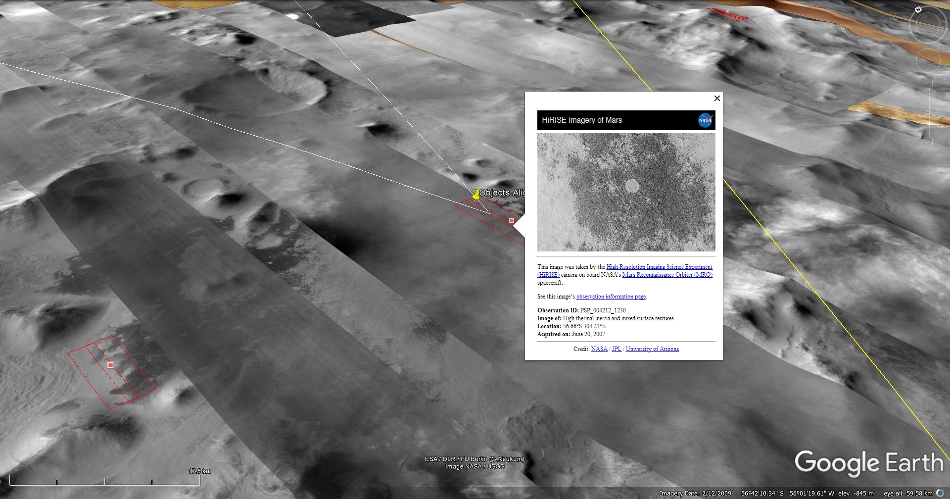
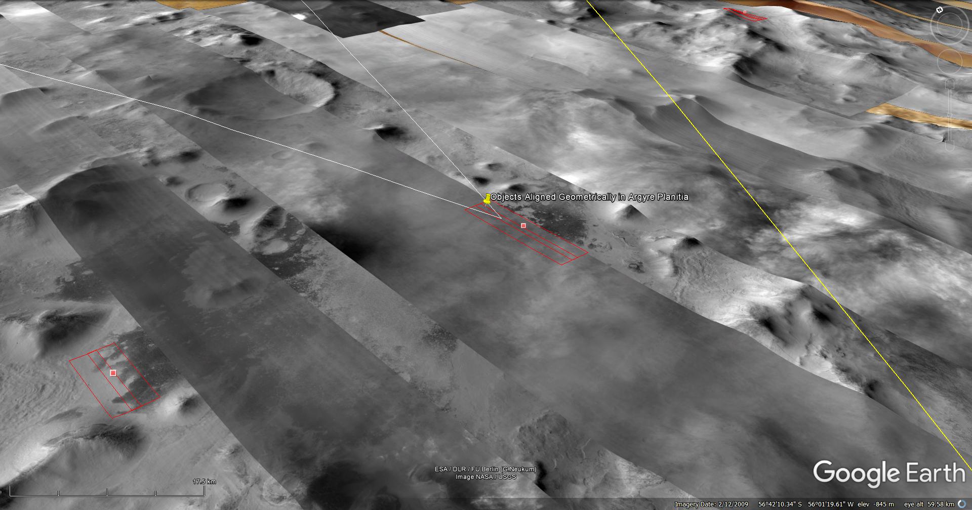
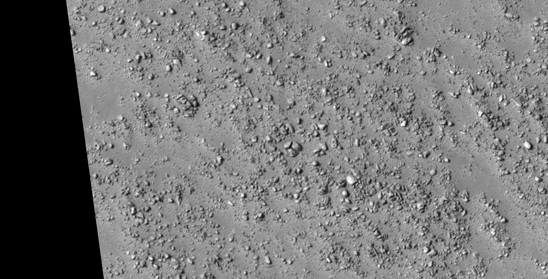
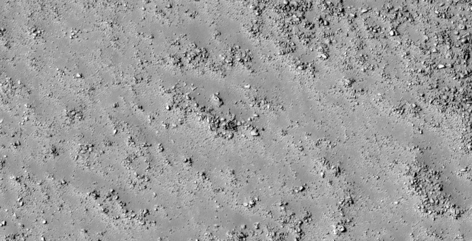
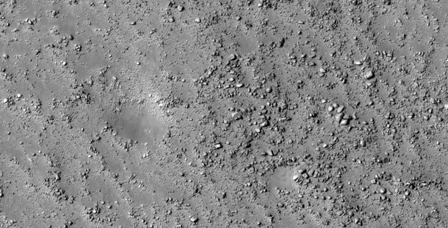
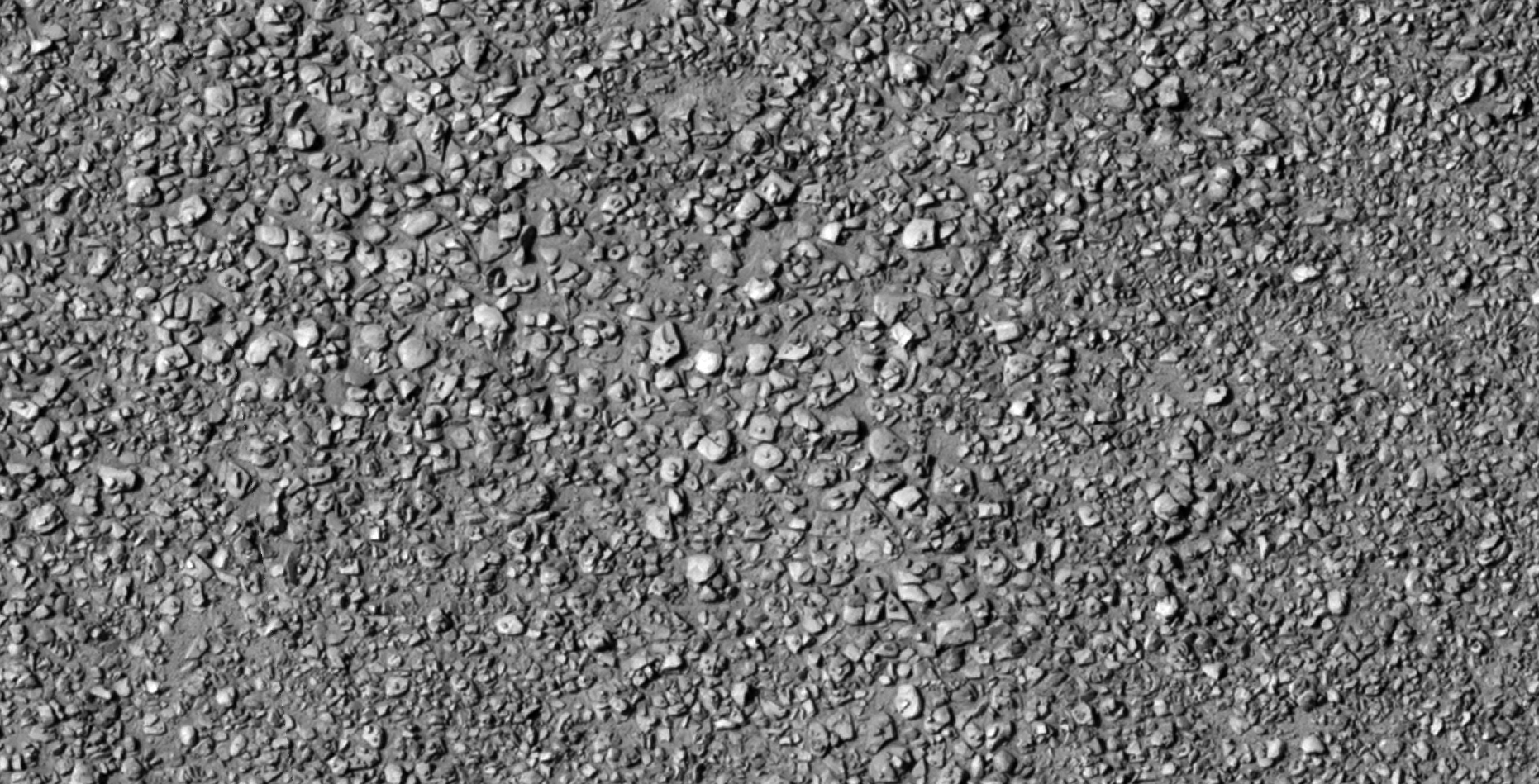
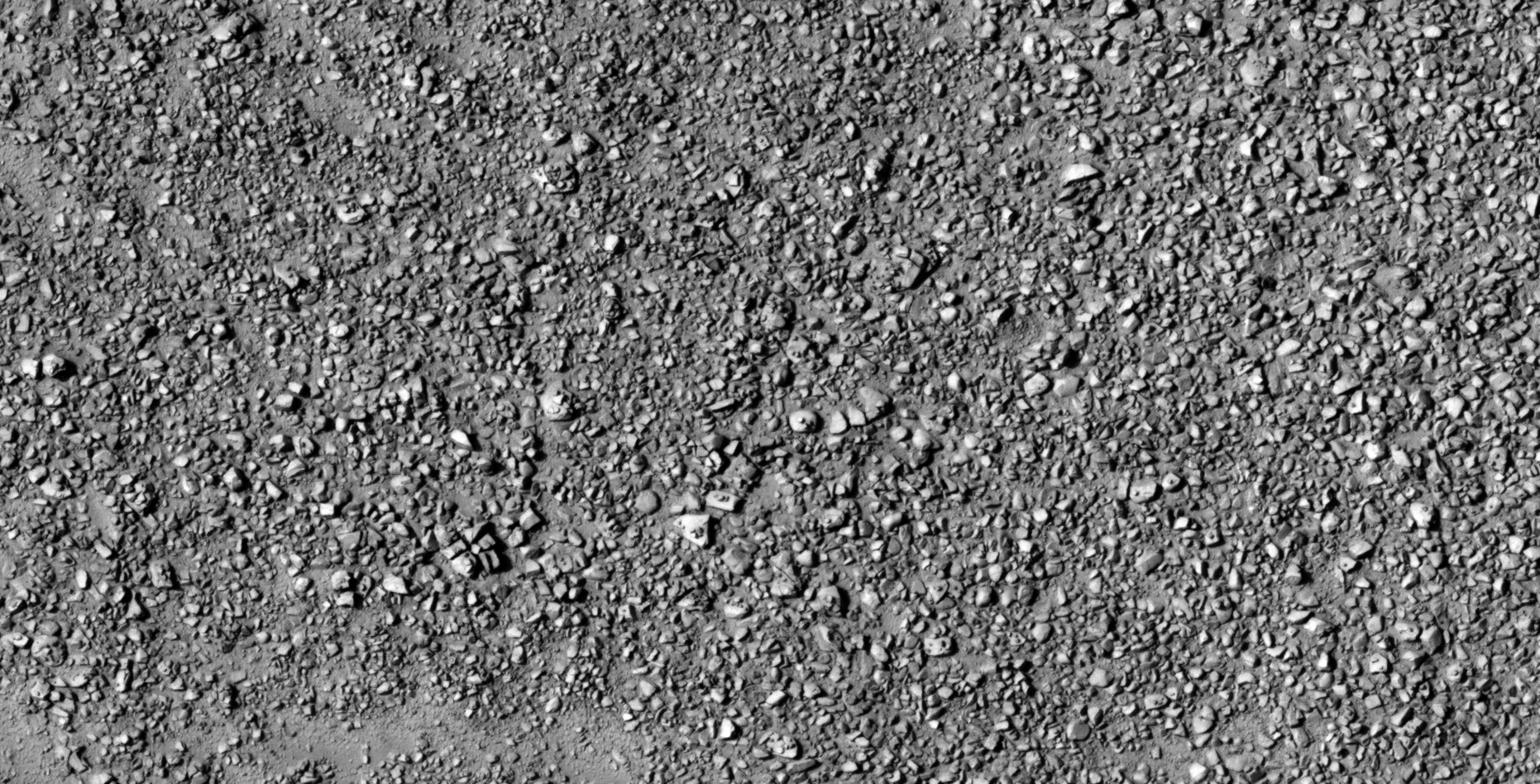
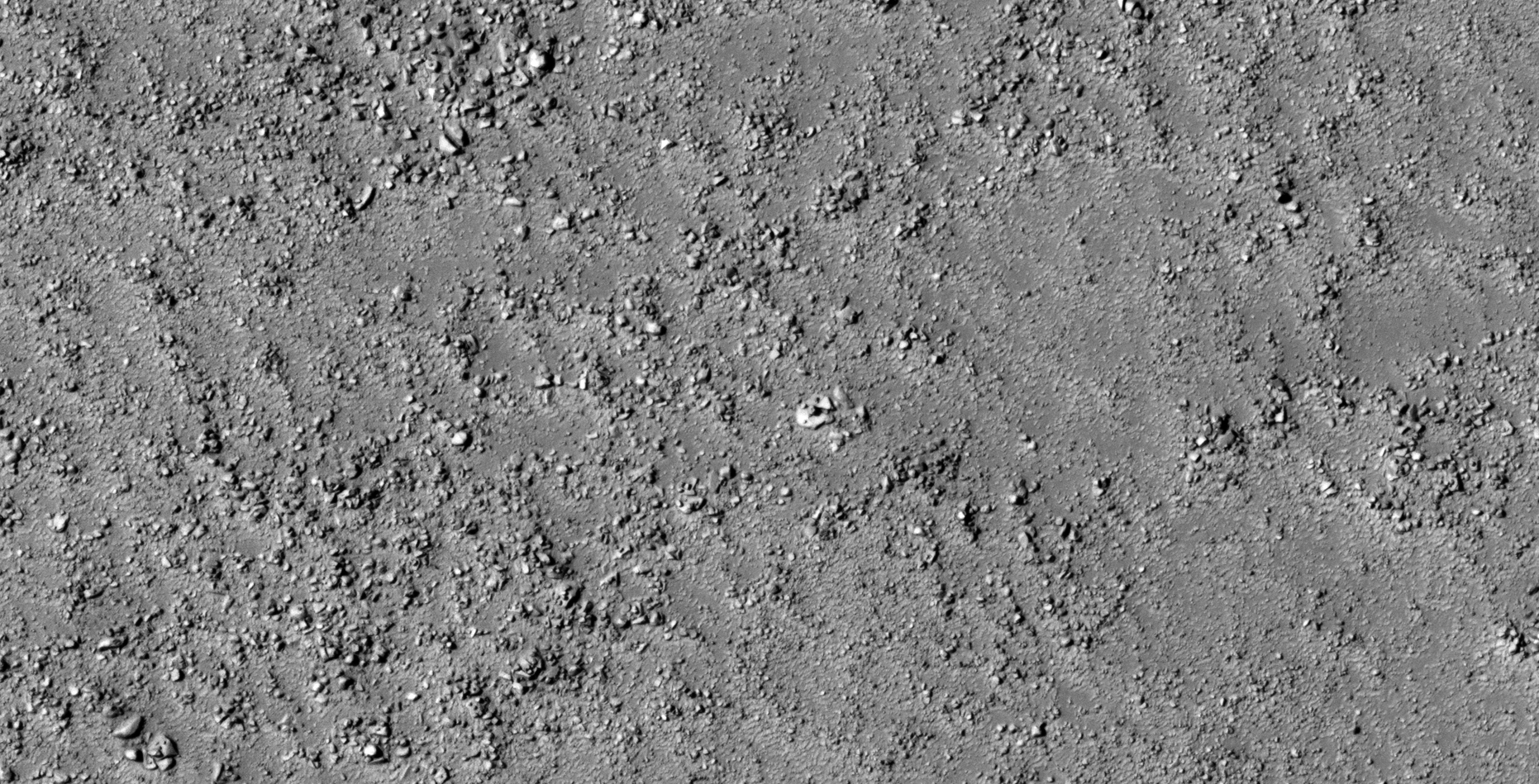
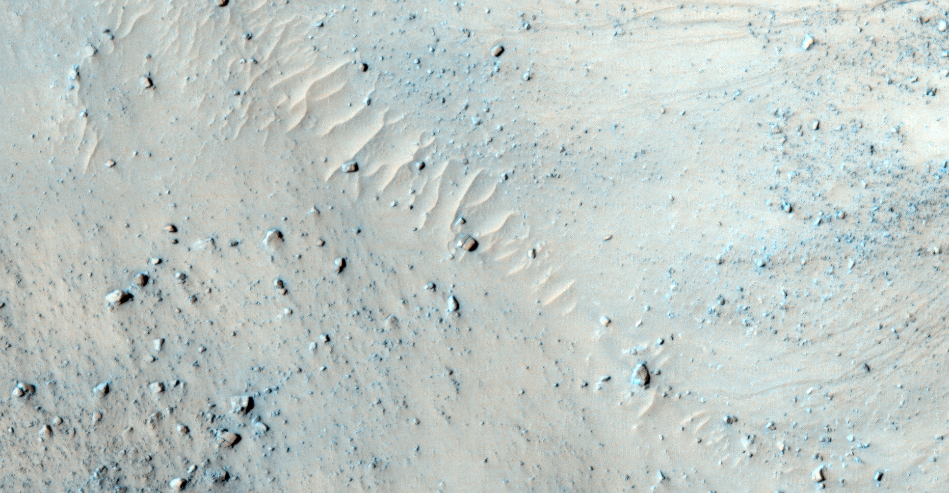
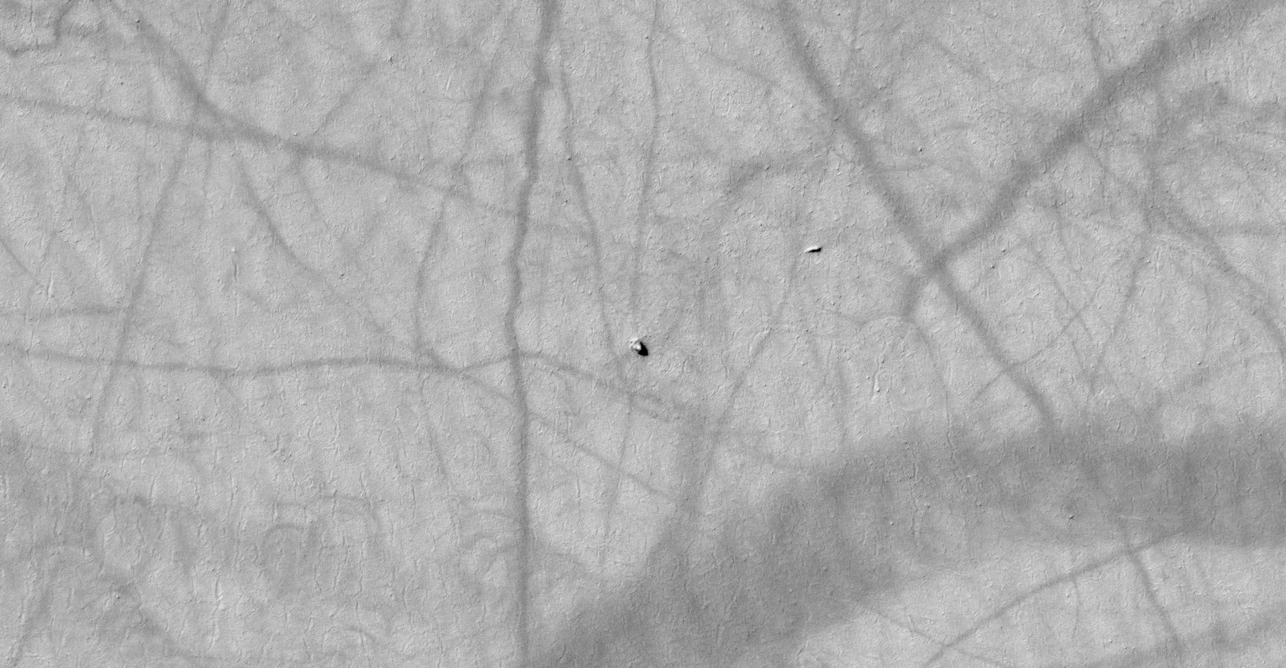
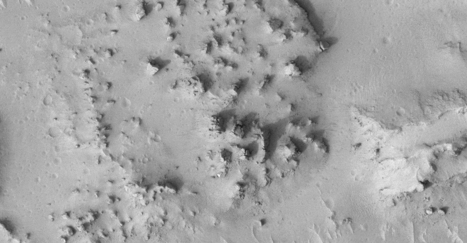
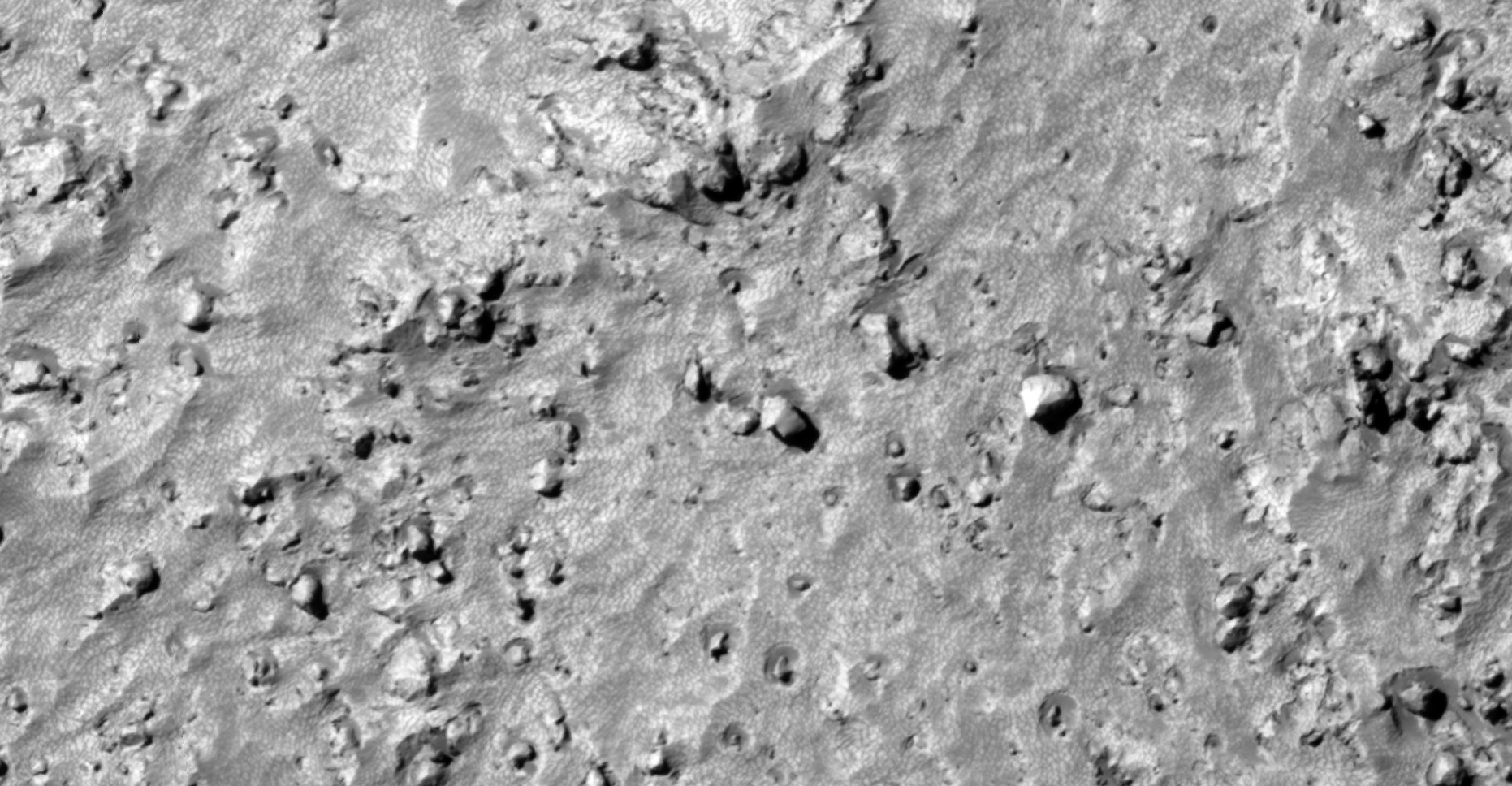
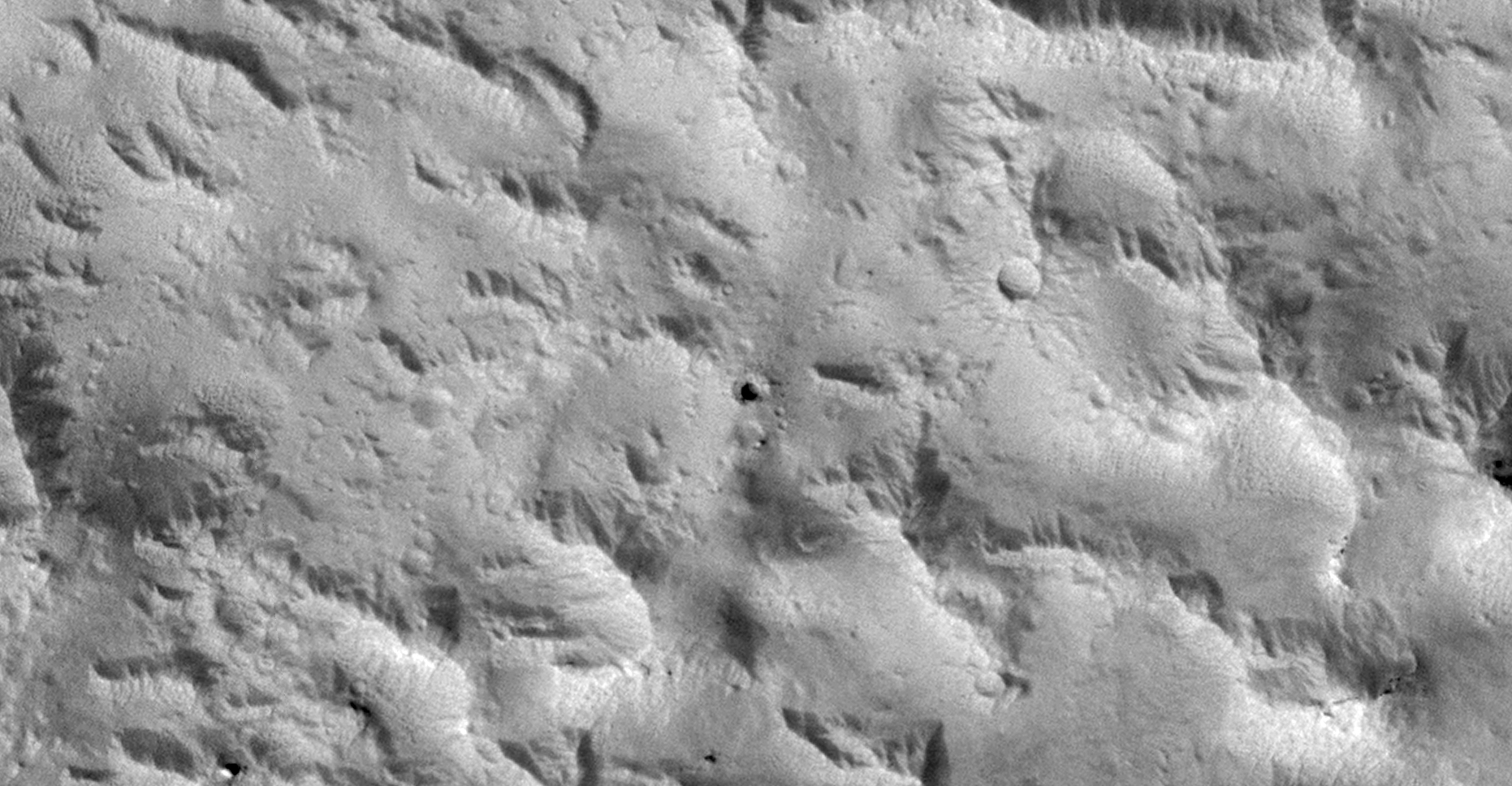
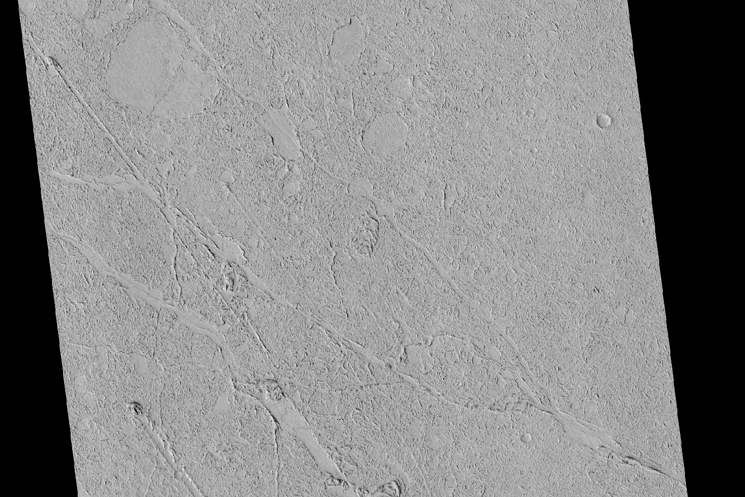
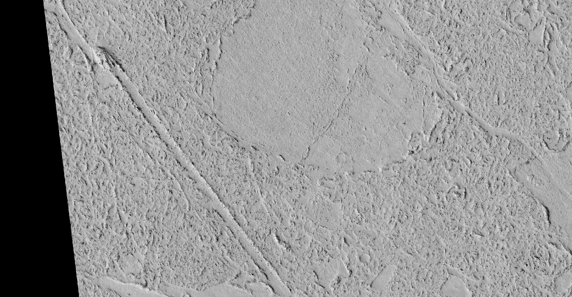
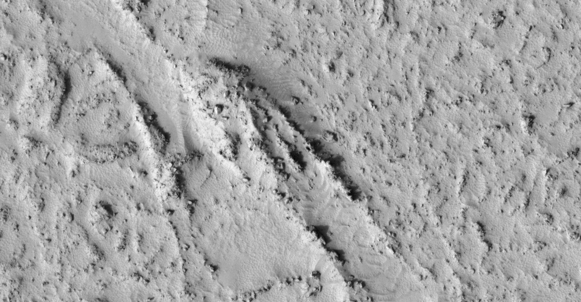
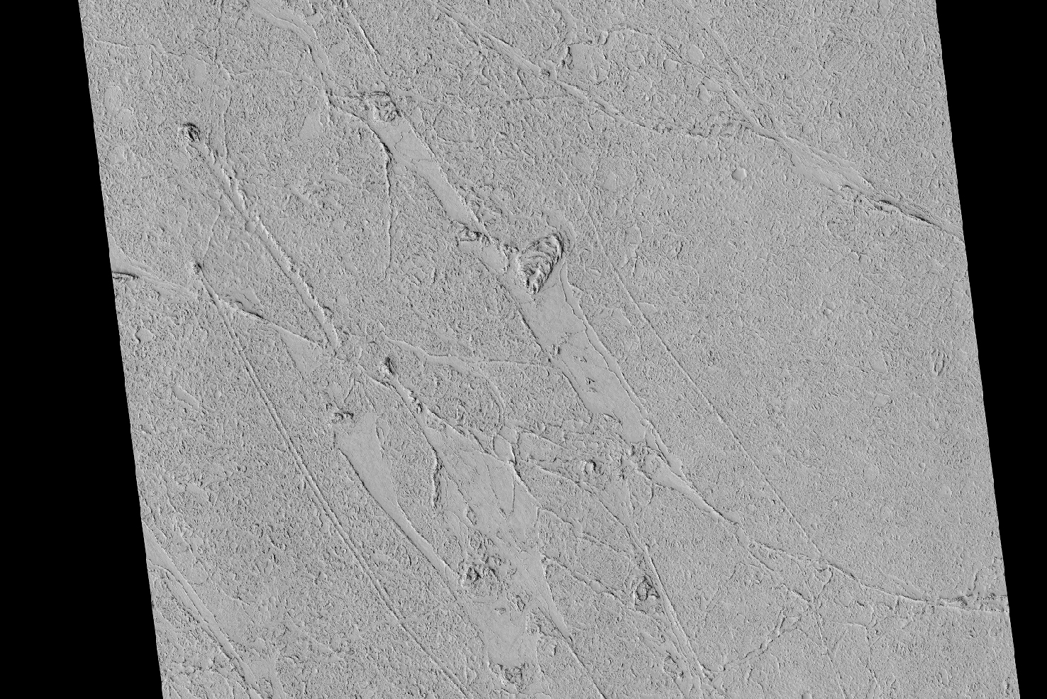
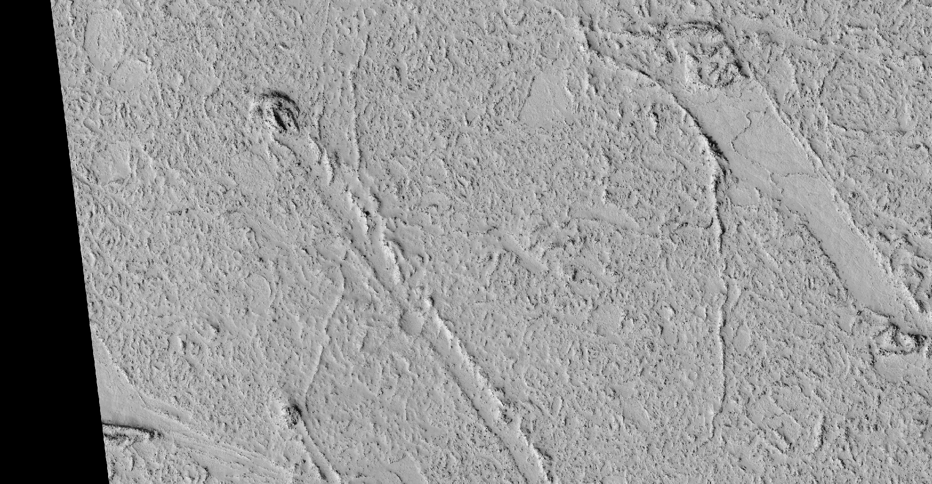
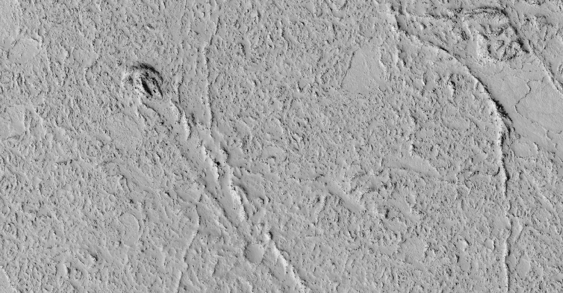
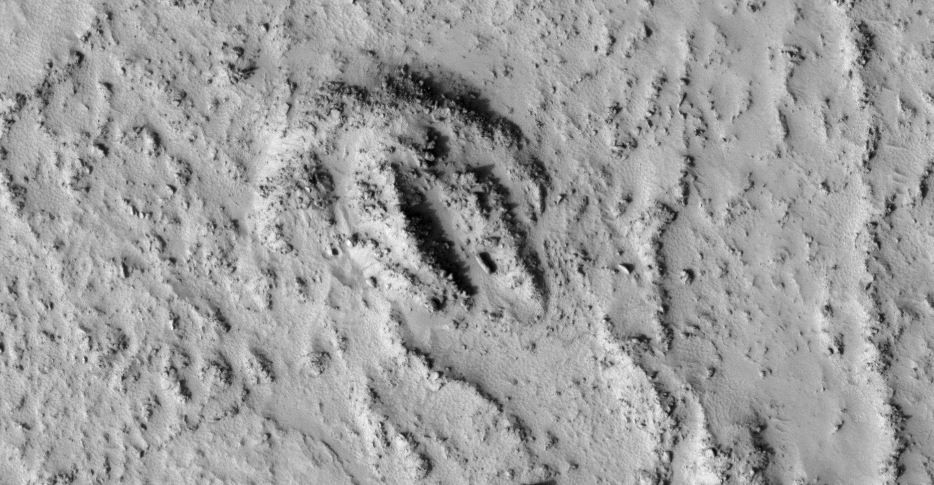
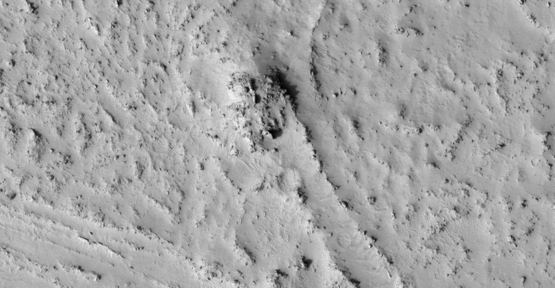
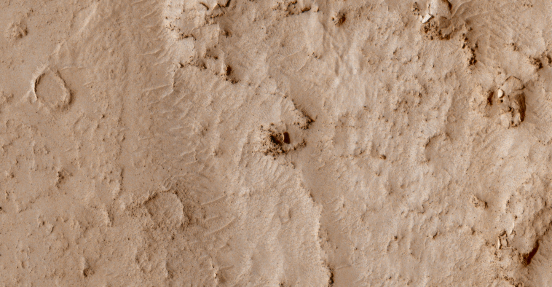
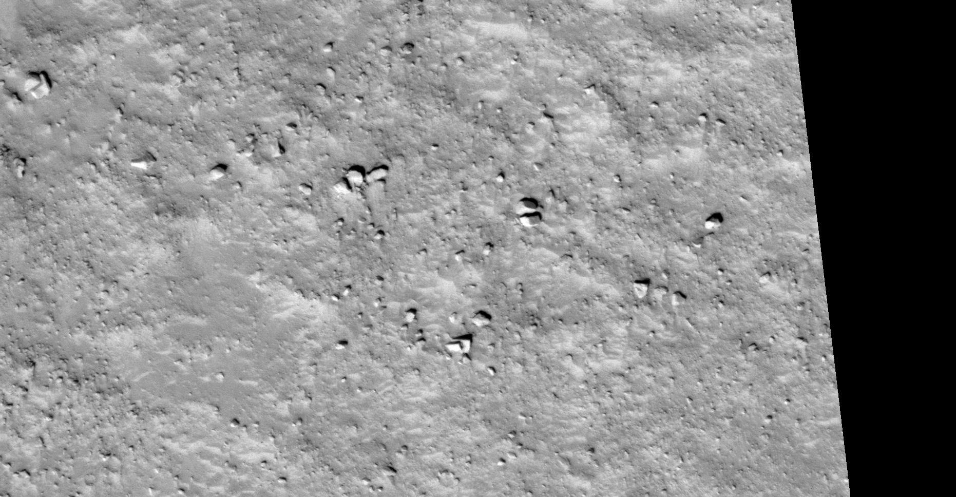
The photograph analyzed here (PSP_004212_1230) was taken by NASA’s Mars Reconnaissance Orbiter on 20 June 2007 and is described as ‘High Thermal Inertia and Mixed Surface Textures.’
Here I feature multiple similar objects, i.e. similar design, shape and size. There are numerous objects with smaller geometric patterns on them. As well as more megalithic blocks, slabs and what appears to be wreckage and debris.
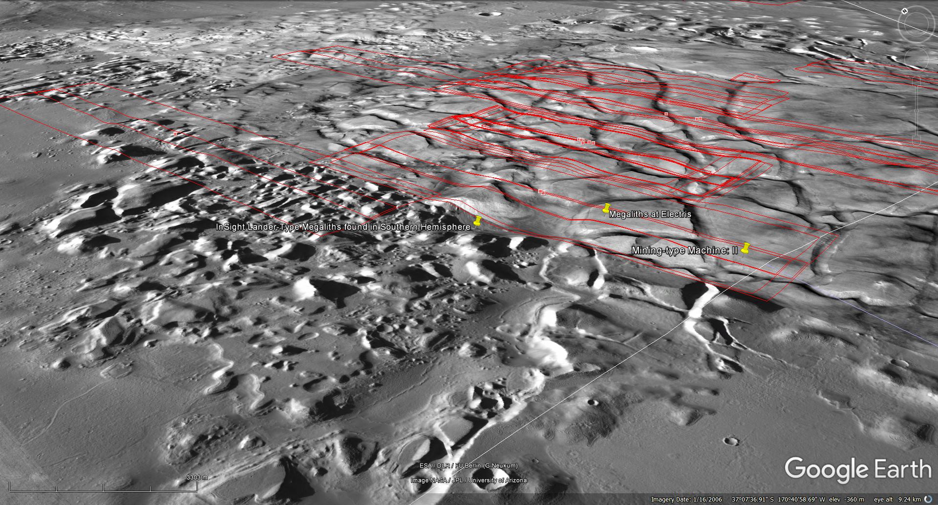
An elevated view of this site being analyzed (click for larger image)An elevated view of this site being analyzed (click for larger image)Click for original image at 1:1 scaleClick for original image at 1:1 scaleClick for original image at 1:1 scaleClick for original image at 1:1 scaleClick for original image at 1:1 scaleClick for original image at 1:1 scaleClick for original image at 1:1 scaleClick for original image at 1:1 scaleClick for original image at 1:1 scaleClick for original image at 1:1 scaleClick for original image at 1:1 scaleClick for original image at 1:1 scaleClick for original image at 1:1 scaleClick for original image at 1:1 scaleClick for original image at 1:1 scaleClick for original image at 1:1 scaleClick for original image at 1:1 scaleClick for original image at 1:1 scaleClick for original image at 1:1 scale
Images saved from within HiView or CTX viewer do not include image scale indicators. The image scale indicators I include in images are based on the official resolutions provided by NASA and although I strive to be as accurate as possible there may be slight deviations from the actual scale. Image scale indicators are included as a size approximation tool only.
Geometry lines are mapped as accurately as possible using the limited information, data and mapping tools available at the time, therefore the lines may deviate from target sites by a few kilometres. Revisions may be made in the future as new, more precise information, data and mapping tools become available.
Many or all of the anomalies/artefacts covered in this presentation may be naturally occurring geological features caused by some type of geological processes, however due to the lack of specific information from the source we can only speculate whether these are all natural or some artificial in nature.
In cases where I say an anomaly looks like something I’m attempting to clarify what I see and not specifically that the anomaly is what I say it looks like.
My intention is only to share anomalies I’ve discovered on Mars and not to convince anyone that there is or was a civilization on Mars.
As Will Farrar from WhatsUpInTheSky says: “I see what I see, you see what you see.”
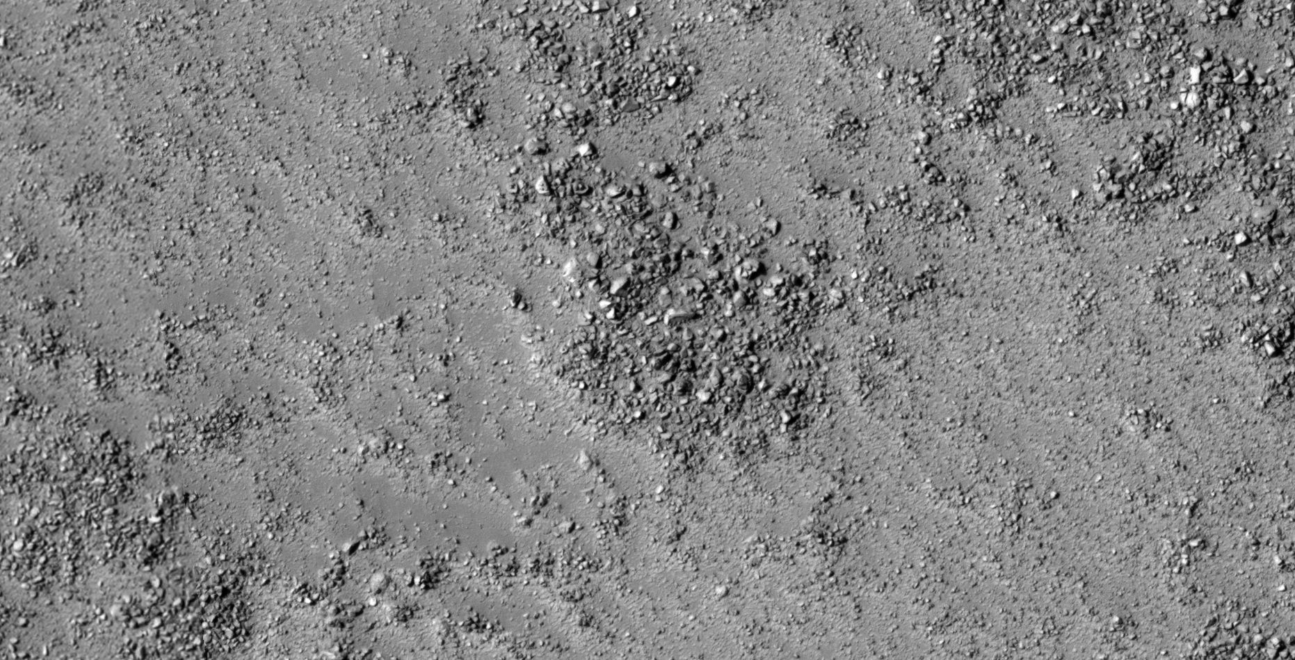
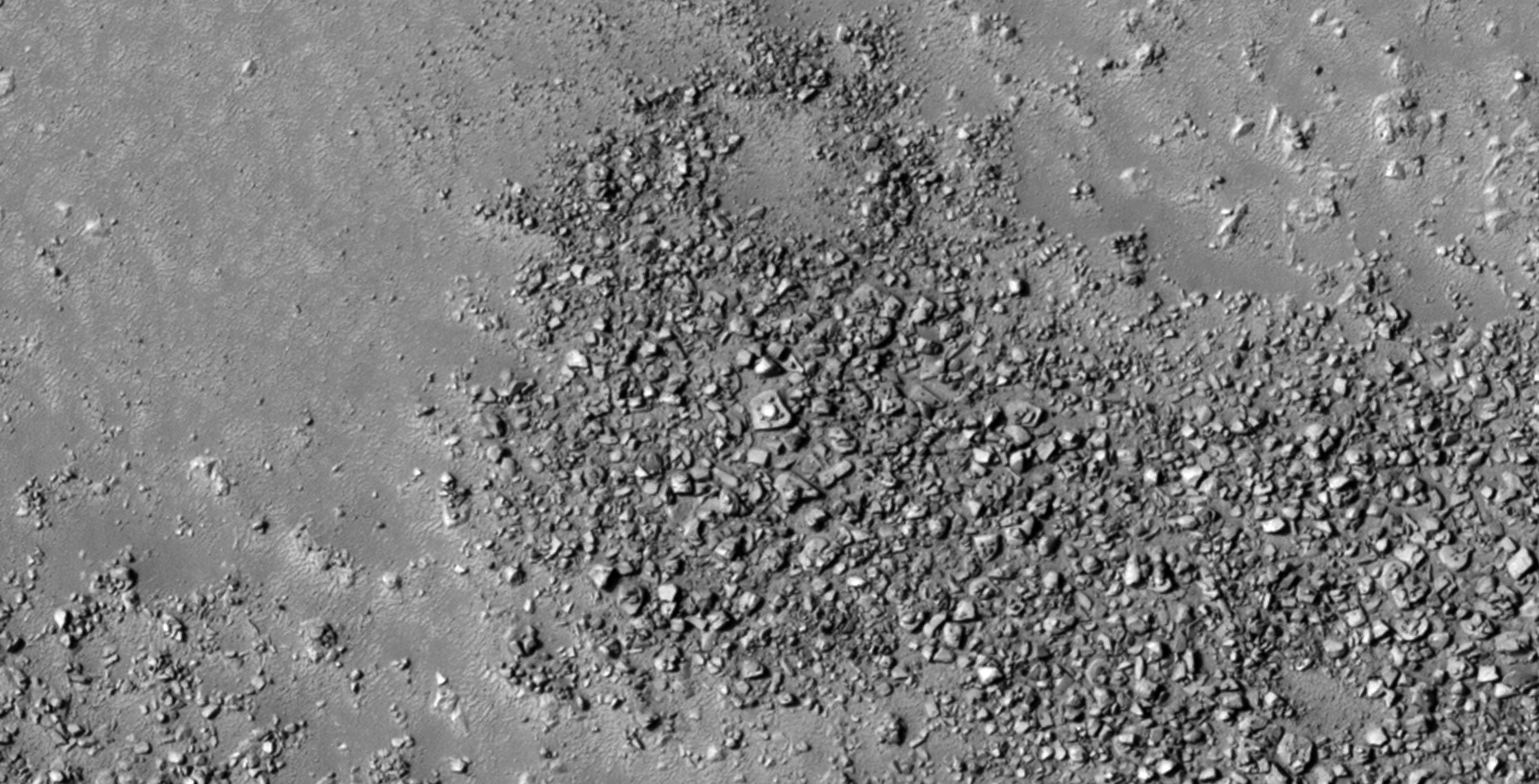
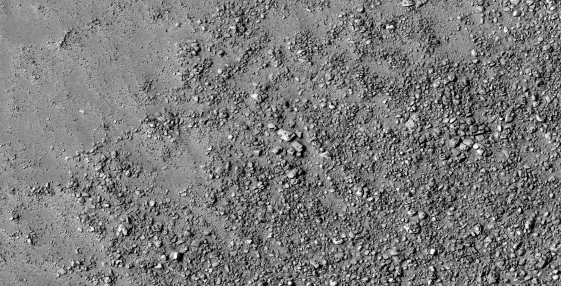
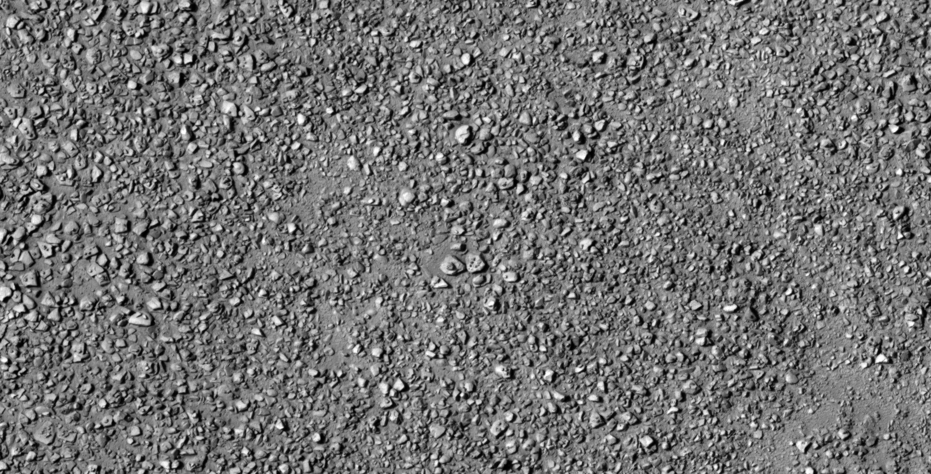
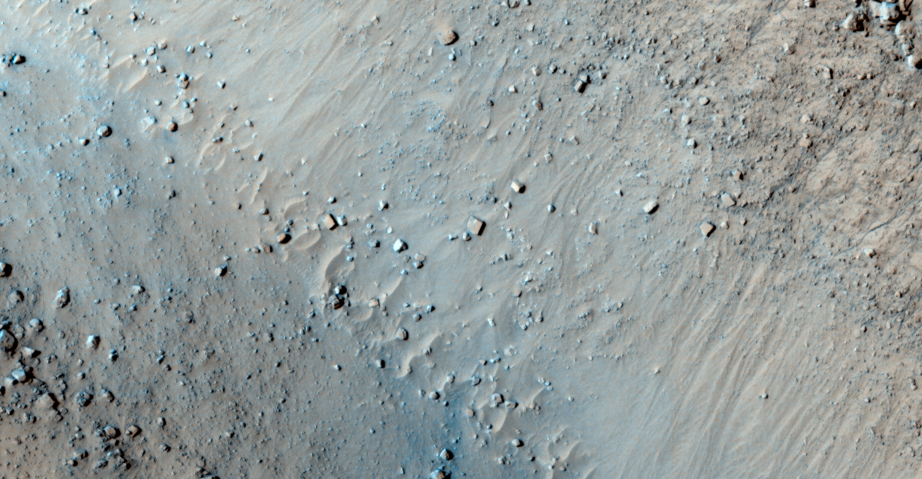
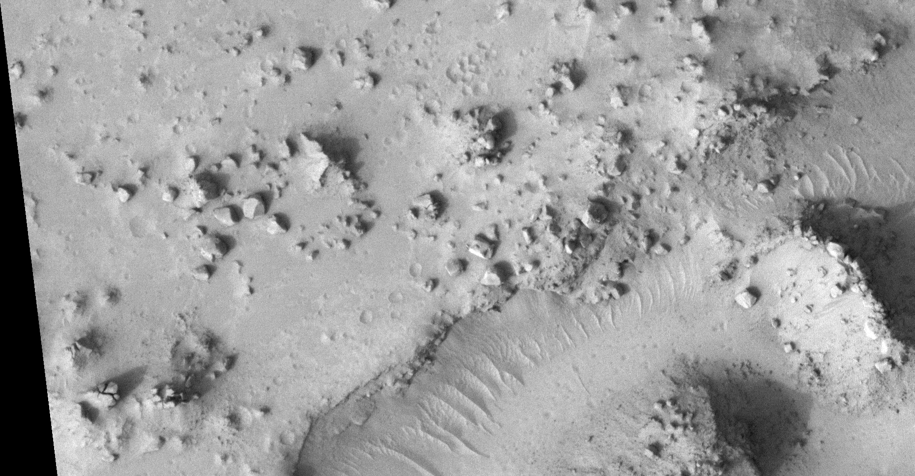
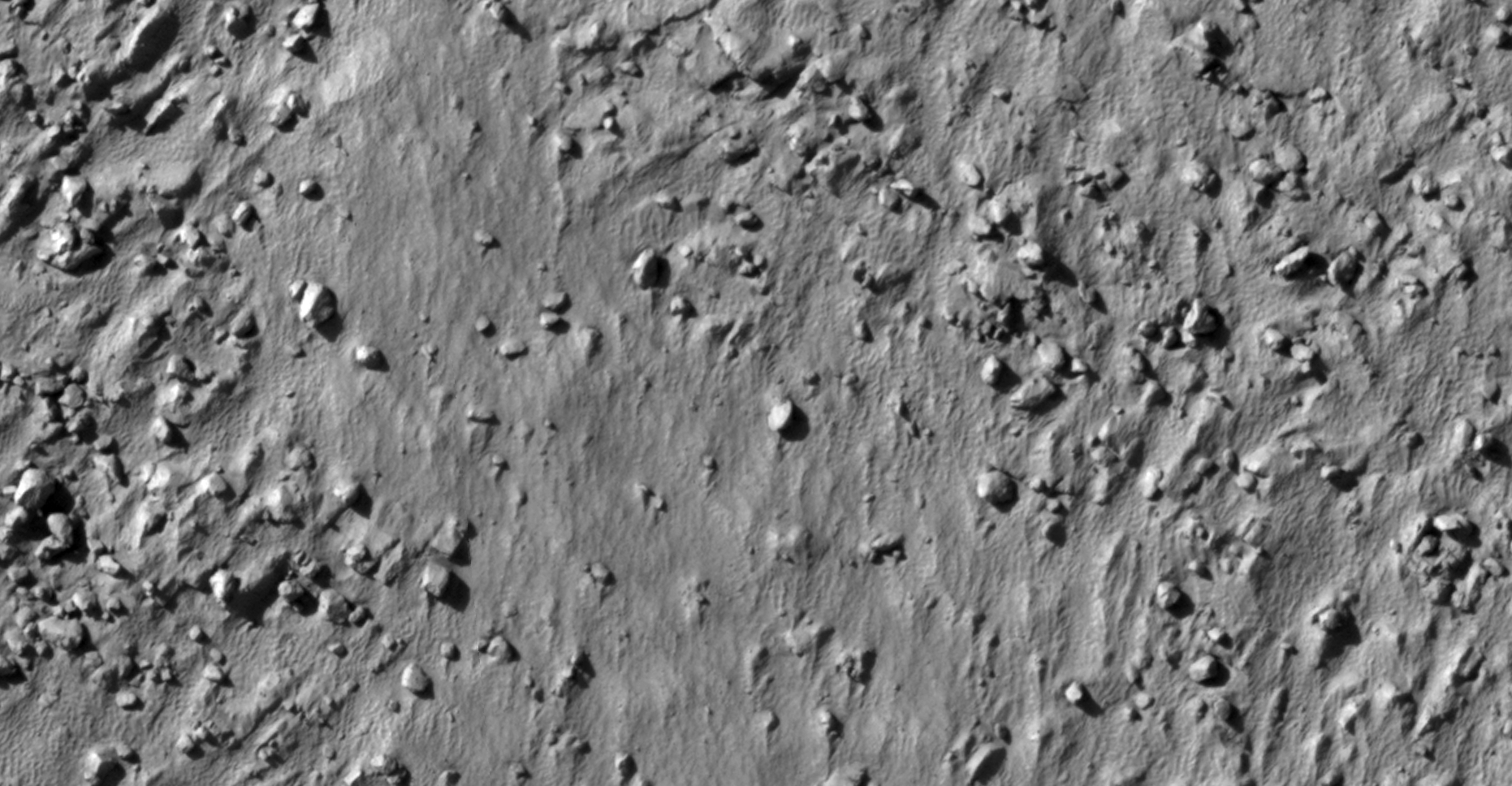
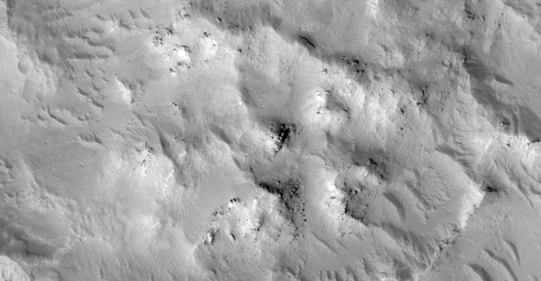
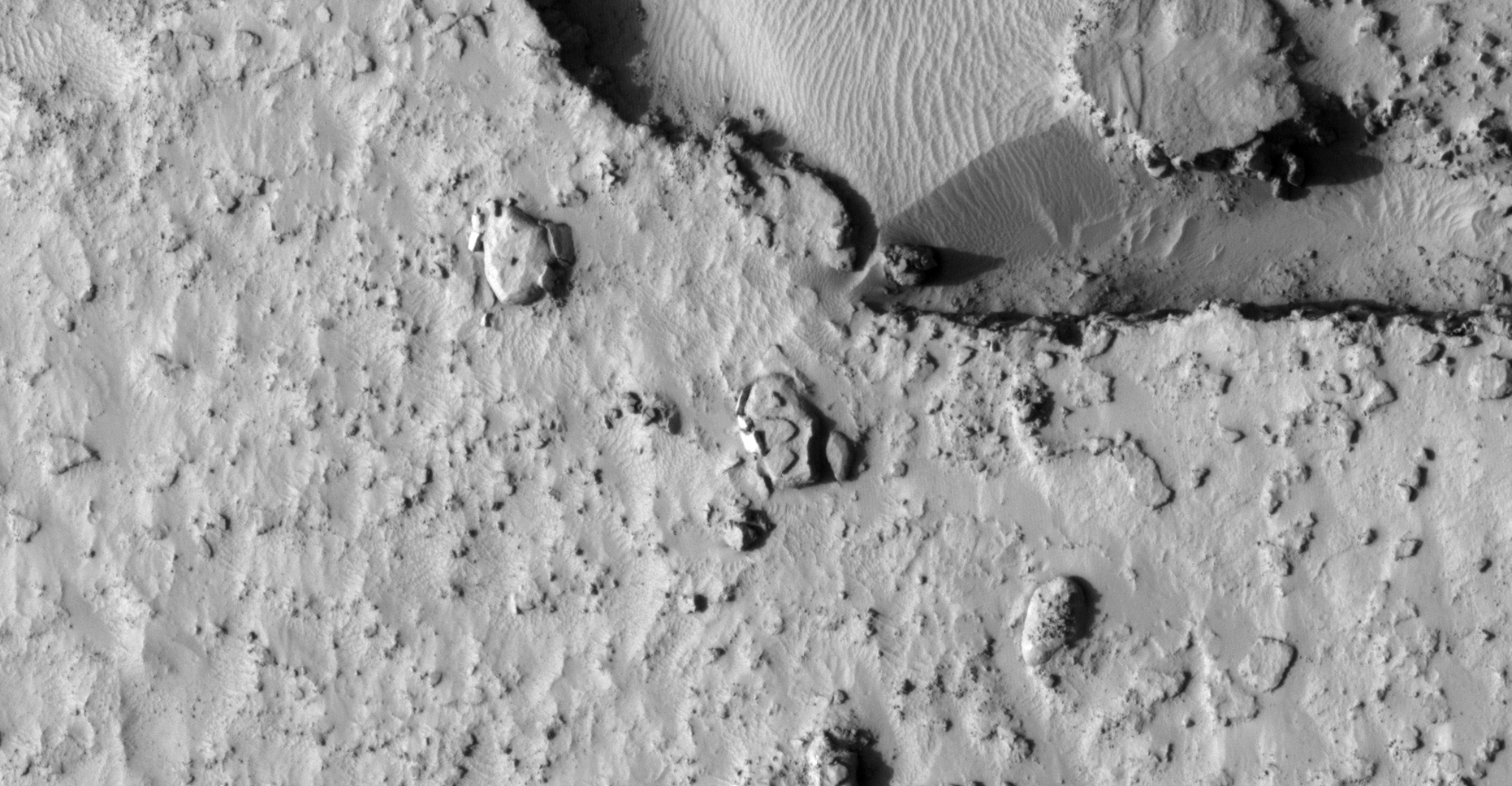
The photograph analyzed here (ESP_057502_1425) was taken by NASA’s Mars Reconnaissance Orbiter on 02 November 2018 and is described as ‘Slope Monitoring.’
Located in a region 37 degrees South and to the East of Elysium Planitia where Insight Lander and Rover Curiosity are based is this rather intriguing region of Mars.
Here I found numerous megalithic blocks, slabs, ruins, structures, metal looking plates and potentially pieces of debris and wreckage. The megalithic blocks, ruins and structures are similar in geometry and size to those found in Elysium Planitia.
Even the geology is similar, both area’s feature what appear to be old islands within a complex canal system.
The Asimov anomalies featured here were discovered by my friend Saturn Ark.
An elevated view of this site being analyzed (click for larger image)
Anomalies in the RGB colour image:
Click for original image at 1:1 scaleClick for original image at 1:1 scaleClick for original image at 1:1 scaleClick for original image at 1:1 scaleClick for original image at 1:1 scaleClick for original image at 1:1 scaleClick for original image at 1:1 scaleClick for original image at 1:1 scaleClick for original image at 1:1 scale
Anomalies in the Black and White image:
Click for original image at 1:1 scaleClick for original image at 1:1 scaleClick for original image at 1:1 scaleClick for original image at 1:1 scaleClick for original image at 1:1 scaleClick for original image at 1:1 scaleClick for original image at 1:1 scaleClick for original image at 1:1 scaleClick for original image at 1:1 scaleClick for original image at 1:1 scaleClick for original image at 1:1 scaleClick for original image at 1:1 scaleClick for original image at 1:1 scaleClick for original image at 1:1 scaleClick for original image at 1:1 scale
Images saved from within HiView or CTX viewer do not include image scale indicators. The image scale indicators I include in images are based on the official resolutions provided by NASA and although I strive to be as accurate as possible there may be slight deviations from the actual scale. Image scale indicators are included as a size approximation tool only.
Geometry lines are mapped as accurately as possible using the limited information, data and mapping tools available at the time, therefore the lines may deviate from target sites by a few kilometres. Revisions may be made in the future as new, more precise information, data and mapping tools become available.
Many or all of the anomalies/artefacts covered in this presentation may be naturally occurring geological features caused by some type of geological processes, however due to the lack of specific information from the source we can only speculate whether these are all natural or some artificial in nature.
In cases where I say an anomaly looks like something I’m attempting to clarify what I see and not specifically that the anomaly is what I say it looks like.
My intention is only to share anomalies I’ve discovered on Mars and not to convince anyone that there is or was a civilization on Mars.
As Will Farrar from WhatsUpInTheSky says: “I see what I see, you see what you see.”
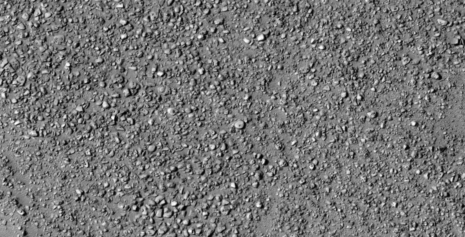
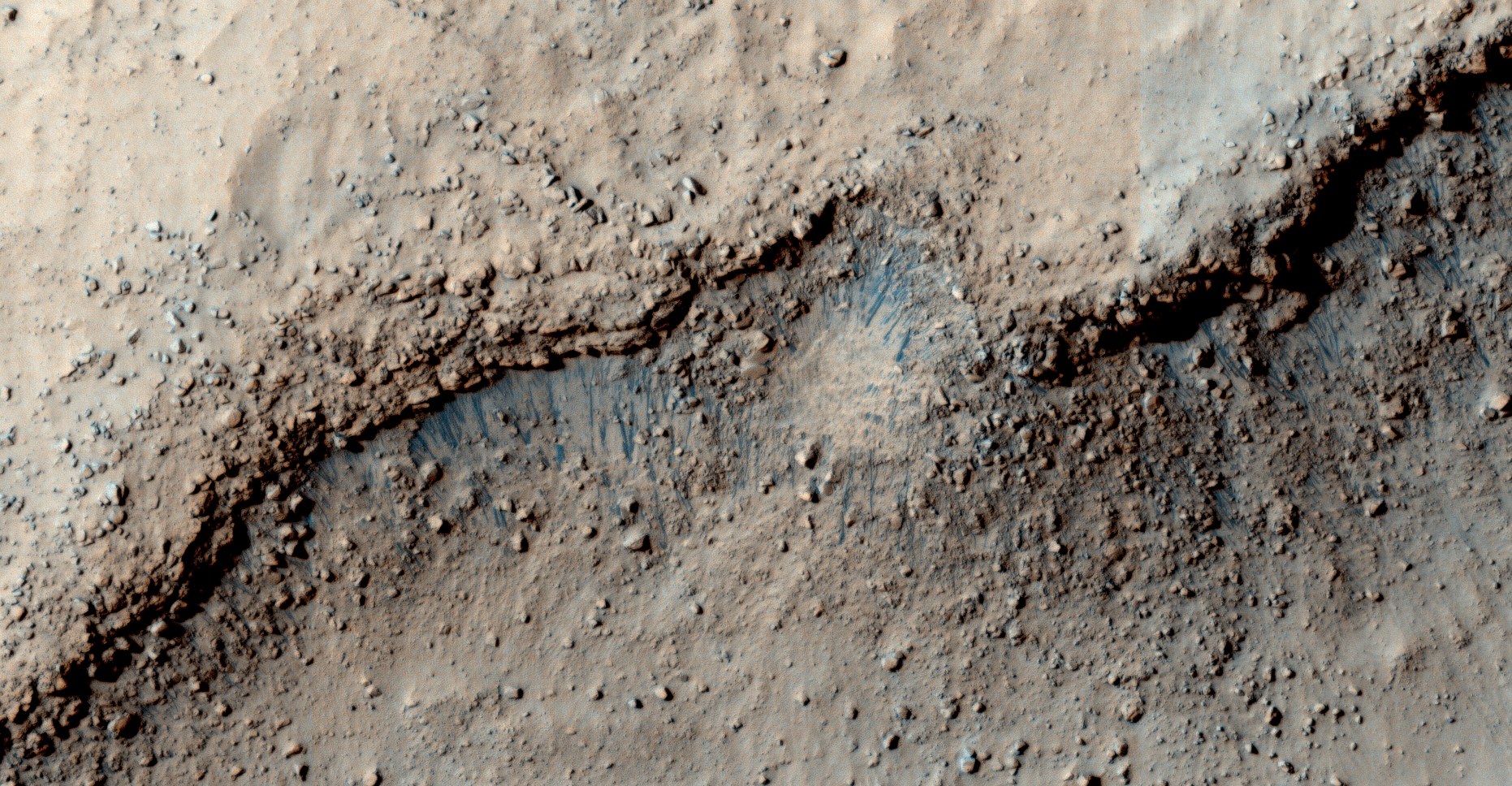
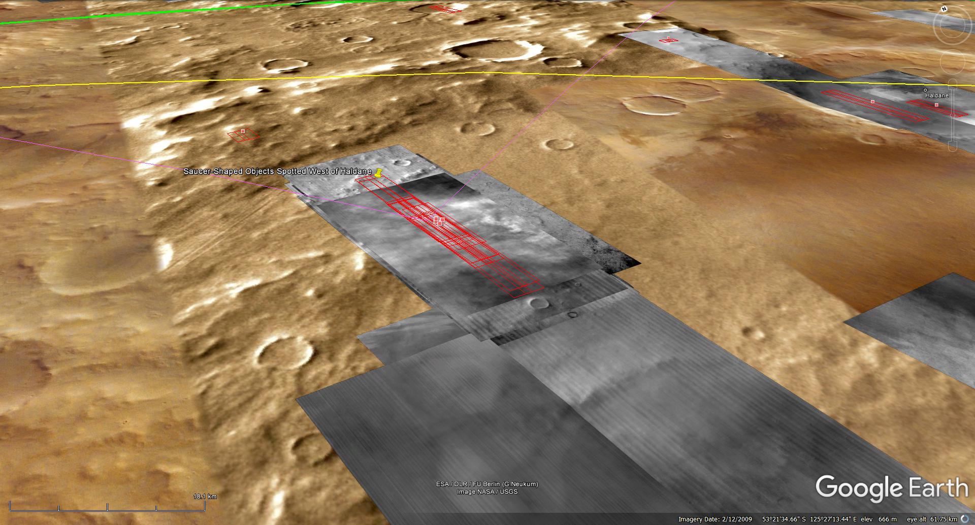
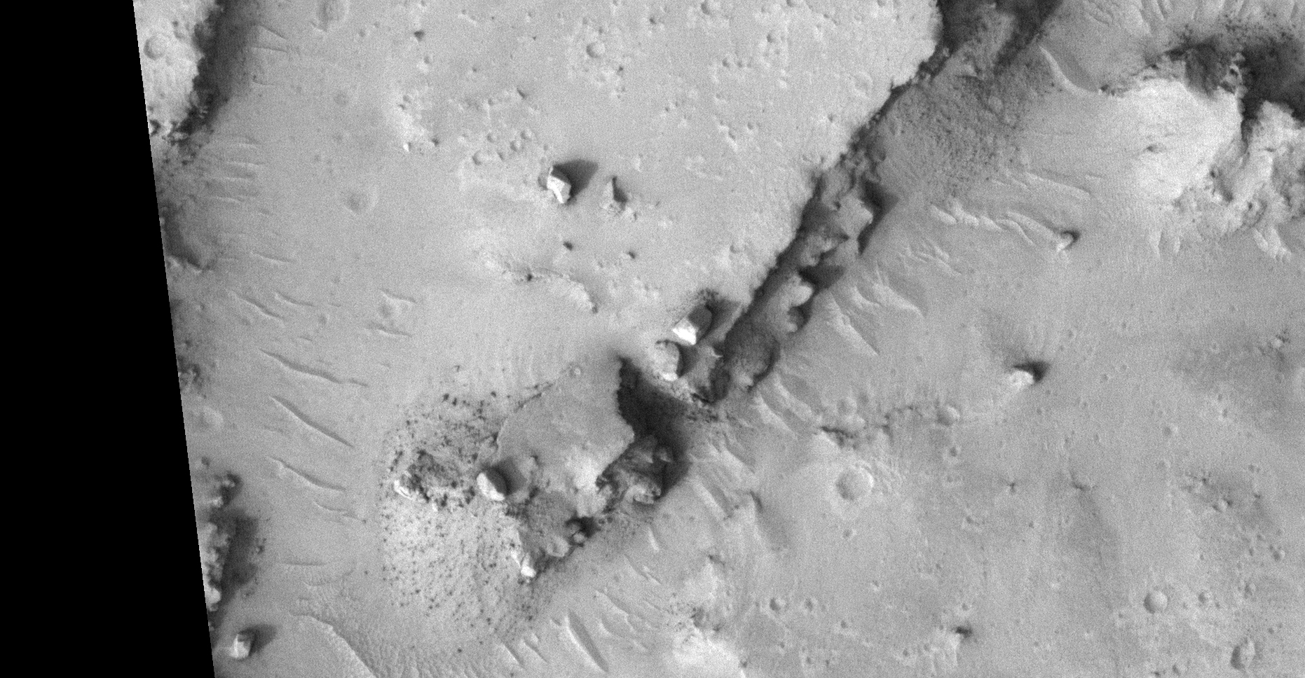
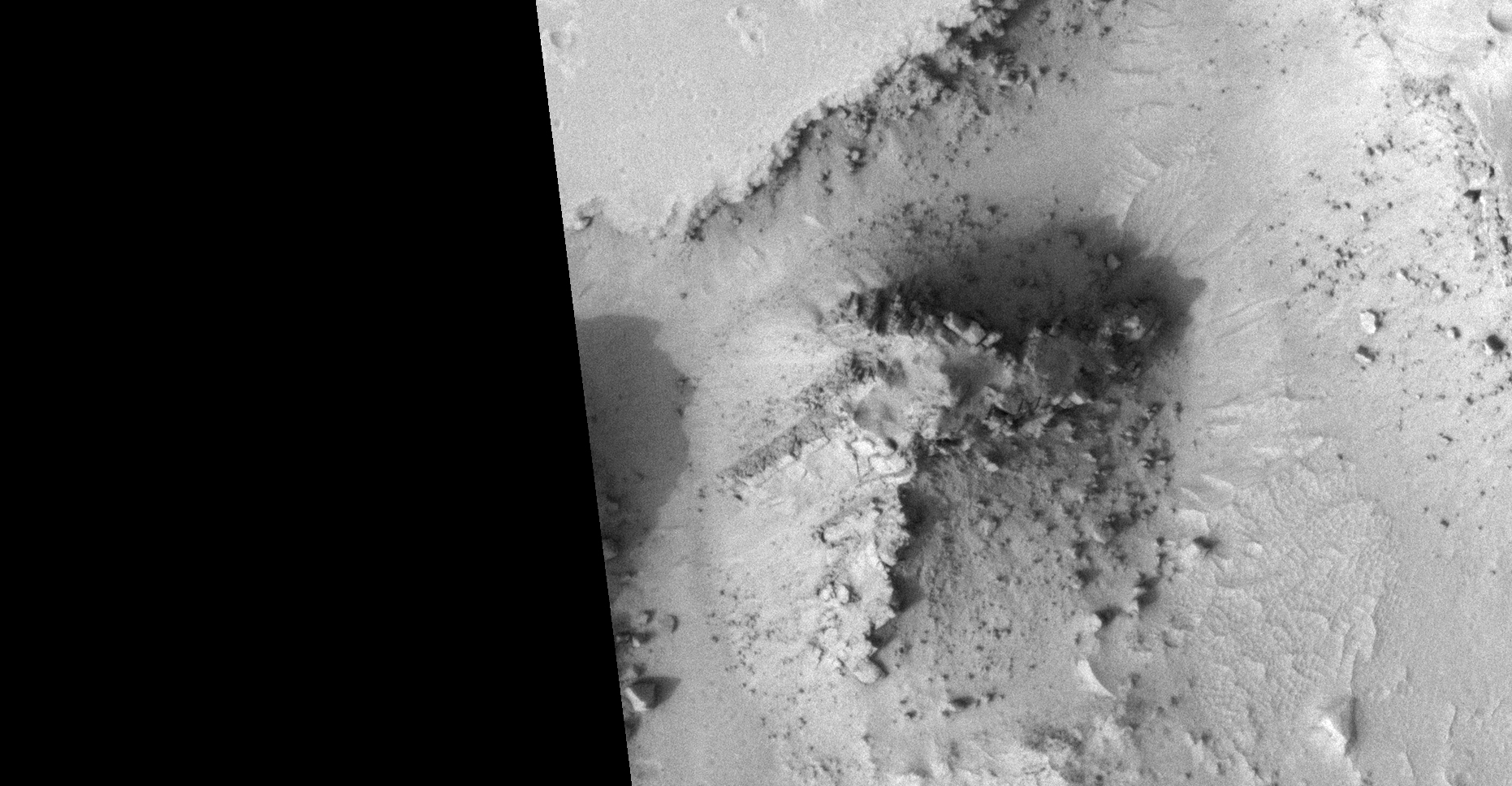
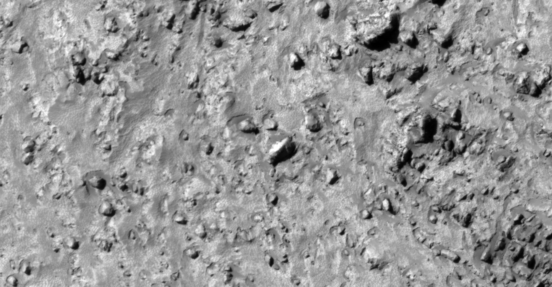
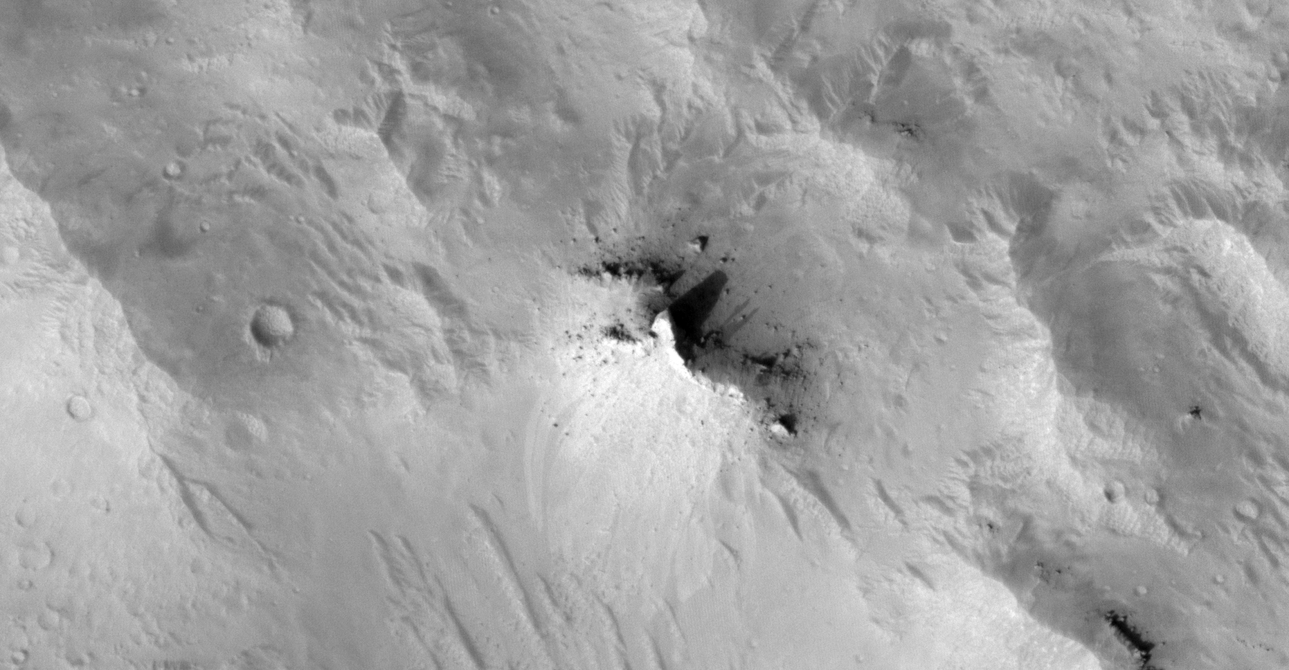
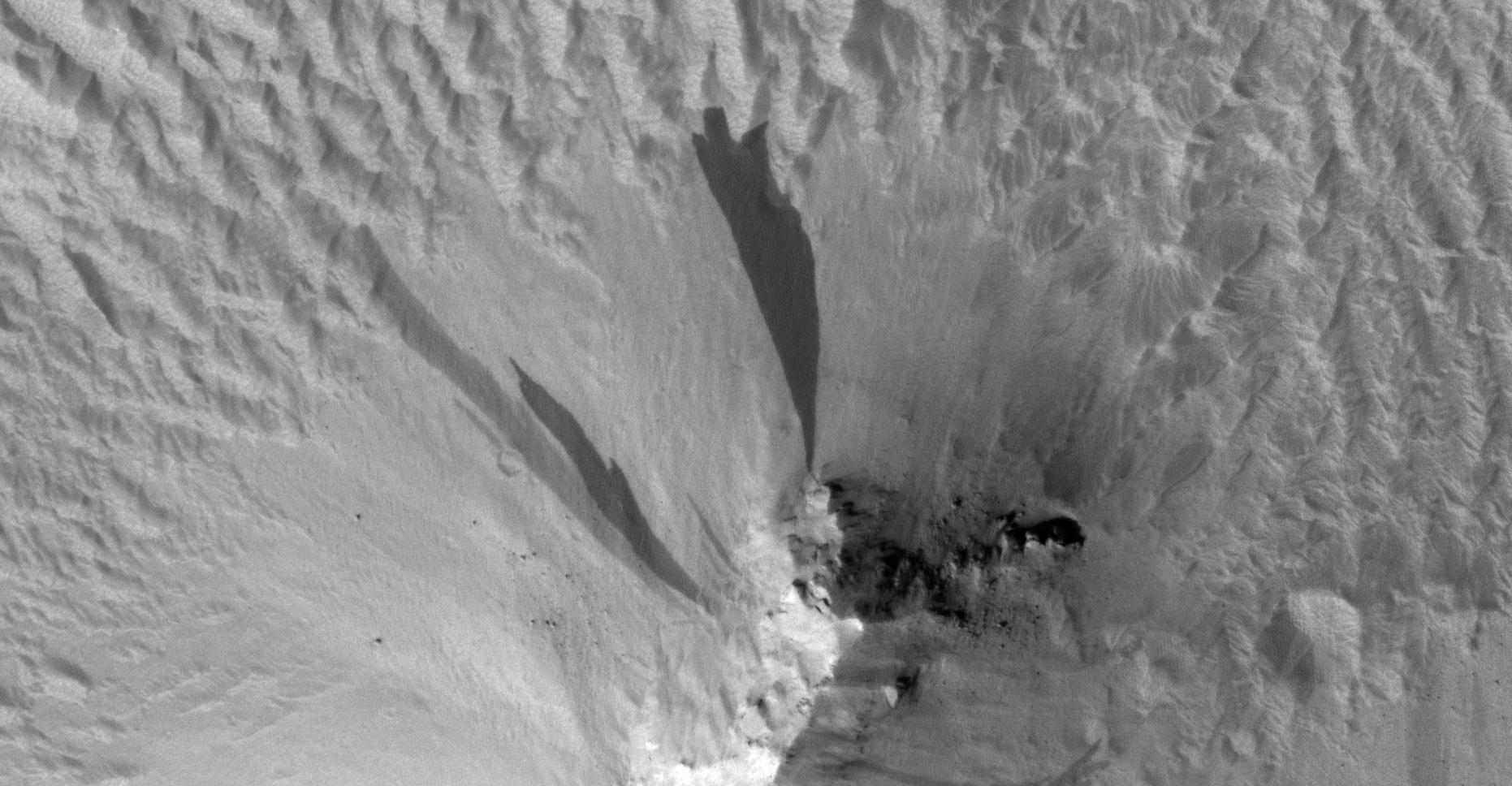
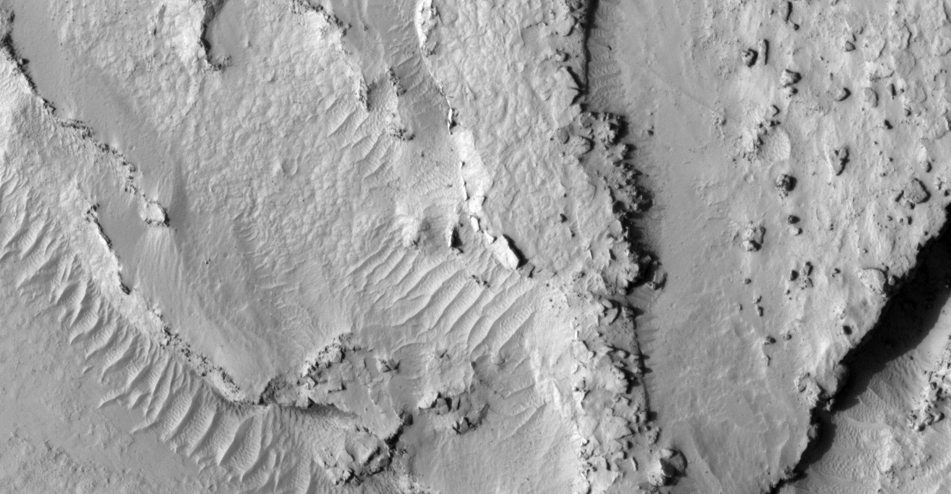
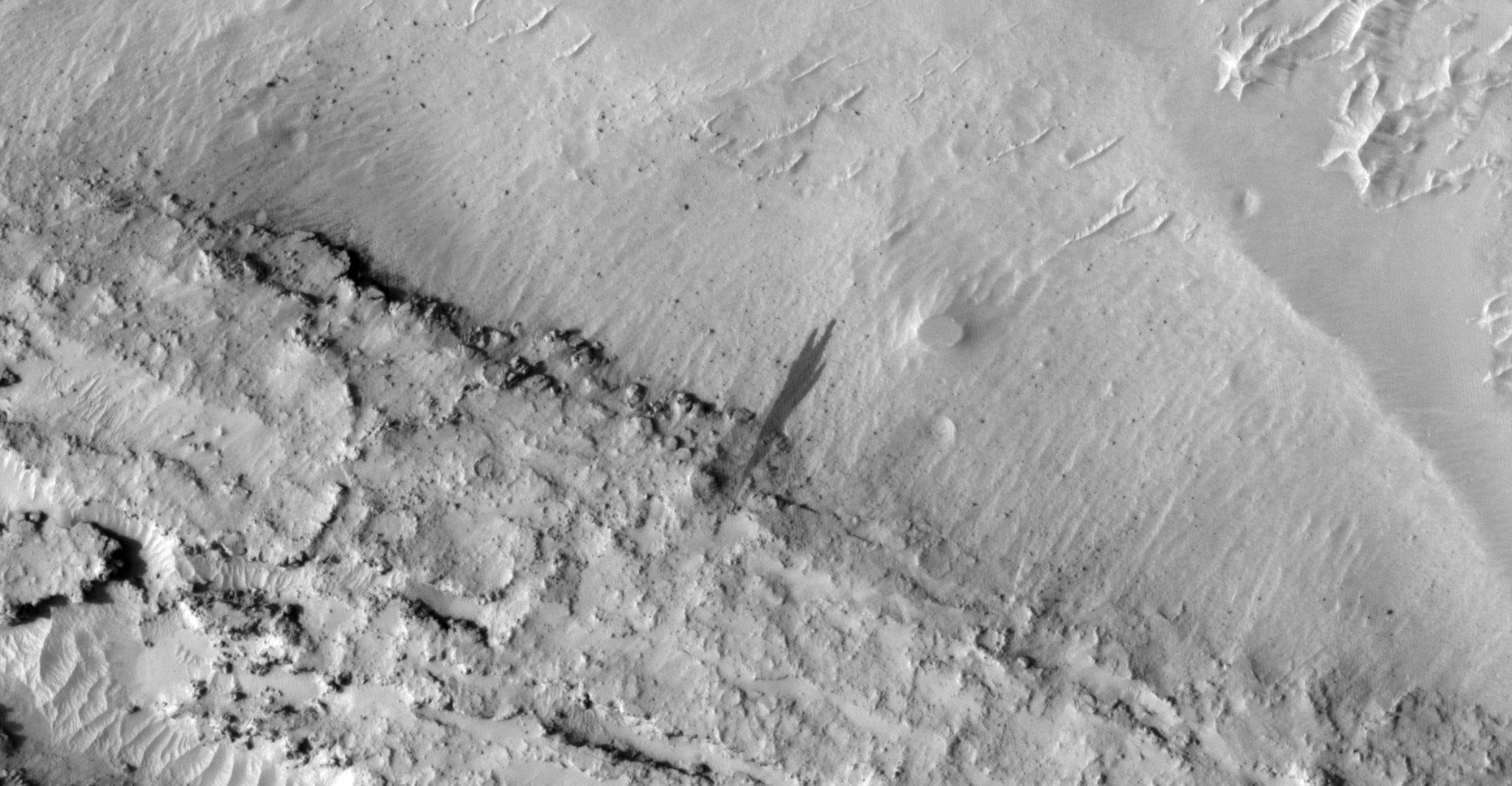
The photograph analyzed here (ESP_057887_1265) was taken by NASA’s Mars Reconnaissance Orbiter on 02 December 2018 and is described as ‘Monitoring Dust Devil Tracks.’
Here I feature what look like two saucer-shaped craft, not unlike classic UFO’s with domes on top. There is also what appears to be an underground entrance-way or hatch with vent as well as a pyramidal-shaped obelisk.
An elevated view of this site being analyzed (click for larger image)Click for original image at 1:1 scaleClick for original image at 1:1 scaleClick for original image at 1:1 scaleClick for original image at 1:1 scaleClick for original image at 1:1 scale
Images saved from within HiView or CTX viewer do not include image scale indicators. The image scale indicators I include in images are based on the official resolutions provided by NASA and although I strive to be as accurate as possible there may be slight deviations from the actual scale. Image scale indicators are included as a size approximation tool only.
Geometry lines are mapped as accurately as possible using the limited information, data and mapping tools available at the time, therefore the lines may deviate from target sites by a few kilometres. Revisions may be made in the future as new, more precise information, data and mapping tools become available.
Many or all of the anomalies/artefacts covered in this presentation may be naturally occurring geological features caused by some type of geological processes, however due to the lack of specific information from the source we can only speculate whether these are all natural or some artificial in nature.
In cases where I say an anomaly looks like something I’m attempting to clarify what I see and not specifically that the anomaly is what I say it looks like.
My intention is only to share anomalies I’ve discovered on Mars and not to convince anyone that there is or was a civilization on Mars.
As Will Farrar from WhatsUpInTheSky says: “I see what I see, you see what you see.”
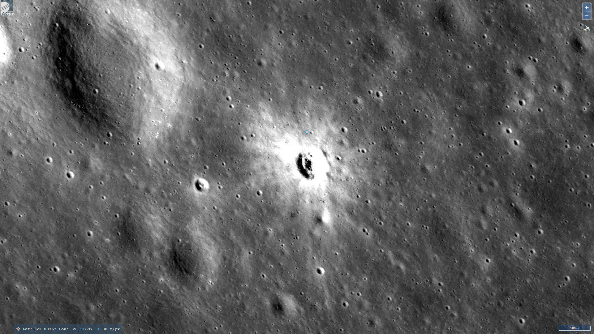
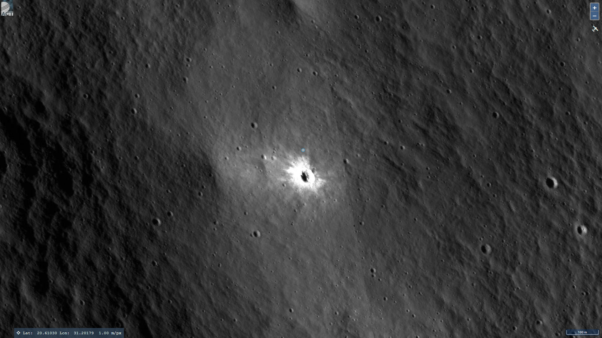
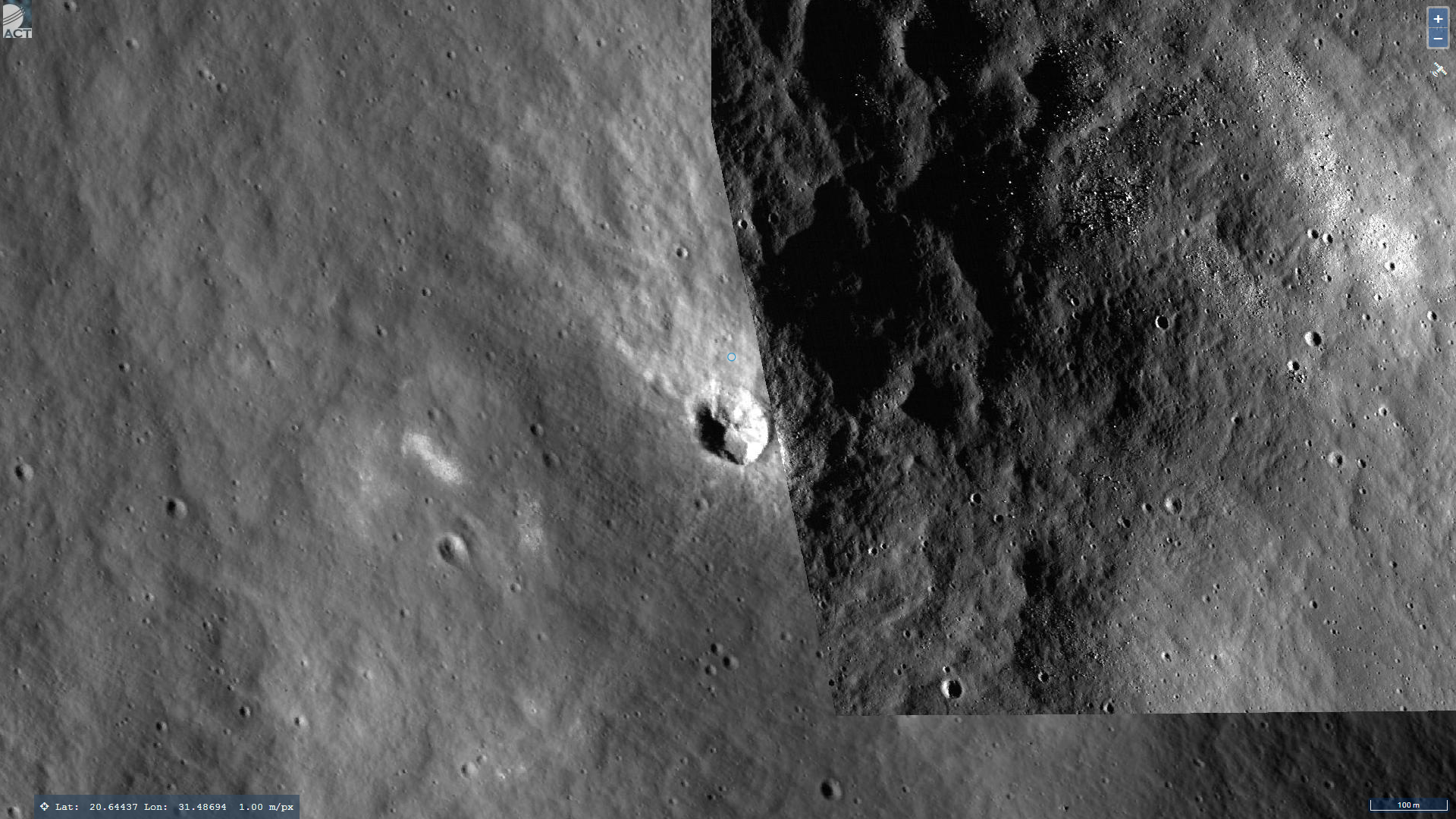
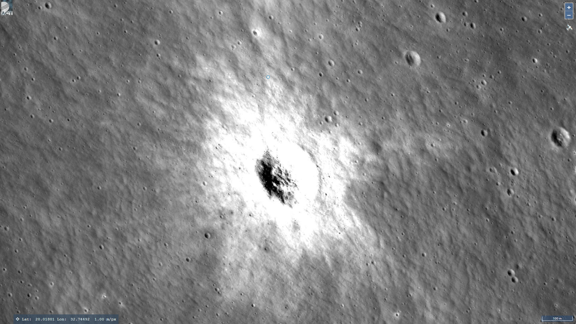
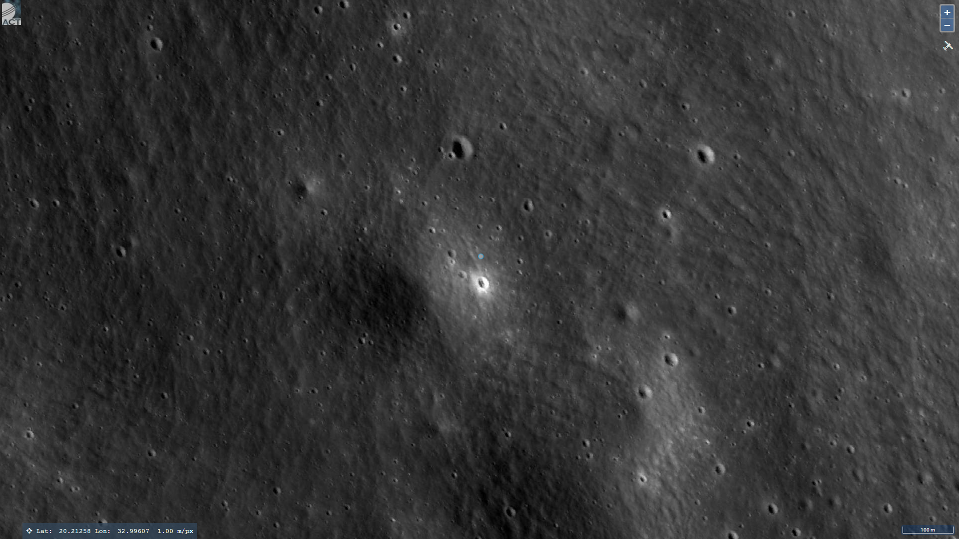
The images analyzed here were produced by Act Moon Image Viewer (https://quickmap.lroc.asu.edu/) and were sourced from multiple LROC photographs.
Here I speculate that I may have found massive crashed saucer-shaped craft, huge domes, an epic sized triangular entrance-way into the surface and what looks like a rectangular megalithic block.
An elevated view of this site being analyzed (click for larger image)An elevated view of this site being analyzed (click for larger image)Click for larger image for context, measurements and co-ordinatesClick for larger image for context, measurements and co-ordinatesClick for larger image for context, measurements and co-ordinatesClick for larger image for context, measurements and co-ordinatesClick for larger image for context, measurements and co-ordinatesClick for larger image for context, measurements and co-ordinates
Geometry lines are mapped as accurately as possible using the limited information, data and mapping tools available at the time, therefore the lines may deviate from target sites by a few kilometres. Revisions may be made in the future as new, more precise information, data and mapping tools become available.
The image scale indicators I include in images are based on the official resolutions provided by NASA and although I strive to be as accurate as possible there may be slight deviations from the actual scale. Image scale indicators are included as a size approximation tool only.
Many or all of the anomalies/artefacts covered in this presentation may be naturally occurring geological features caused by some type of geological processes, however due to the lack of specific information from the source we can only speculate whether these are all natural or some artificial in nature.
In cases where I say an anomaly looks like something I’m attempting to clarify what I see and not specifically that the anomaly is what I say it looks like.
My intention is only to share anomalies I’ve discovered on the Moon and not to convince anyone that there is or was a civilization on the Moon.
As Will Farrar from WhatsUpInTheSky says: “I see what I see, you see what you see.”
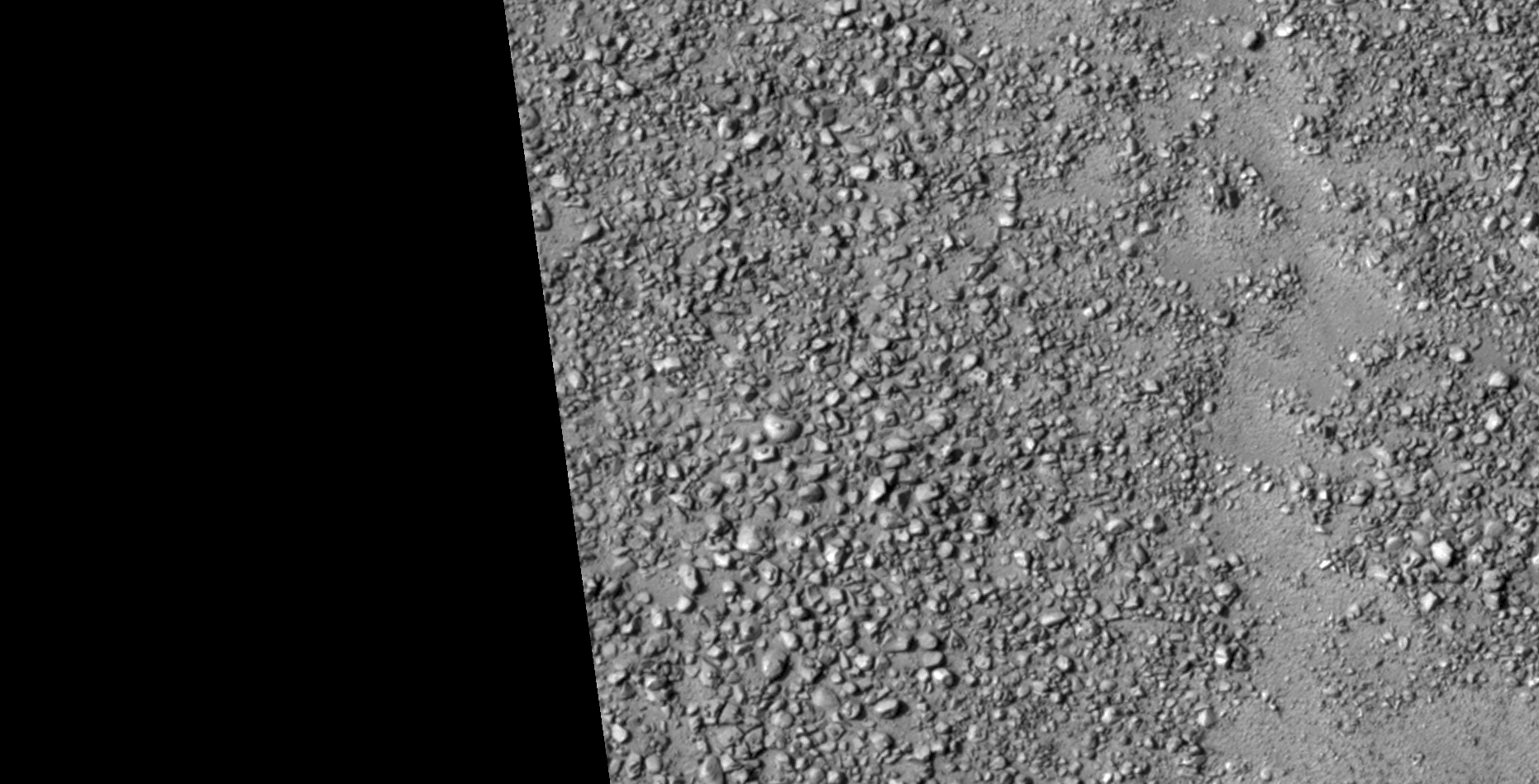
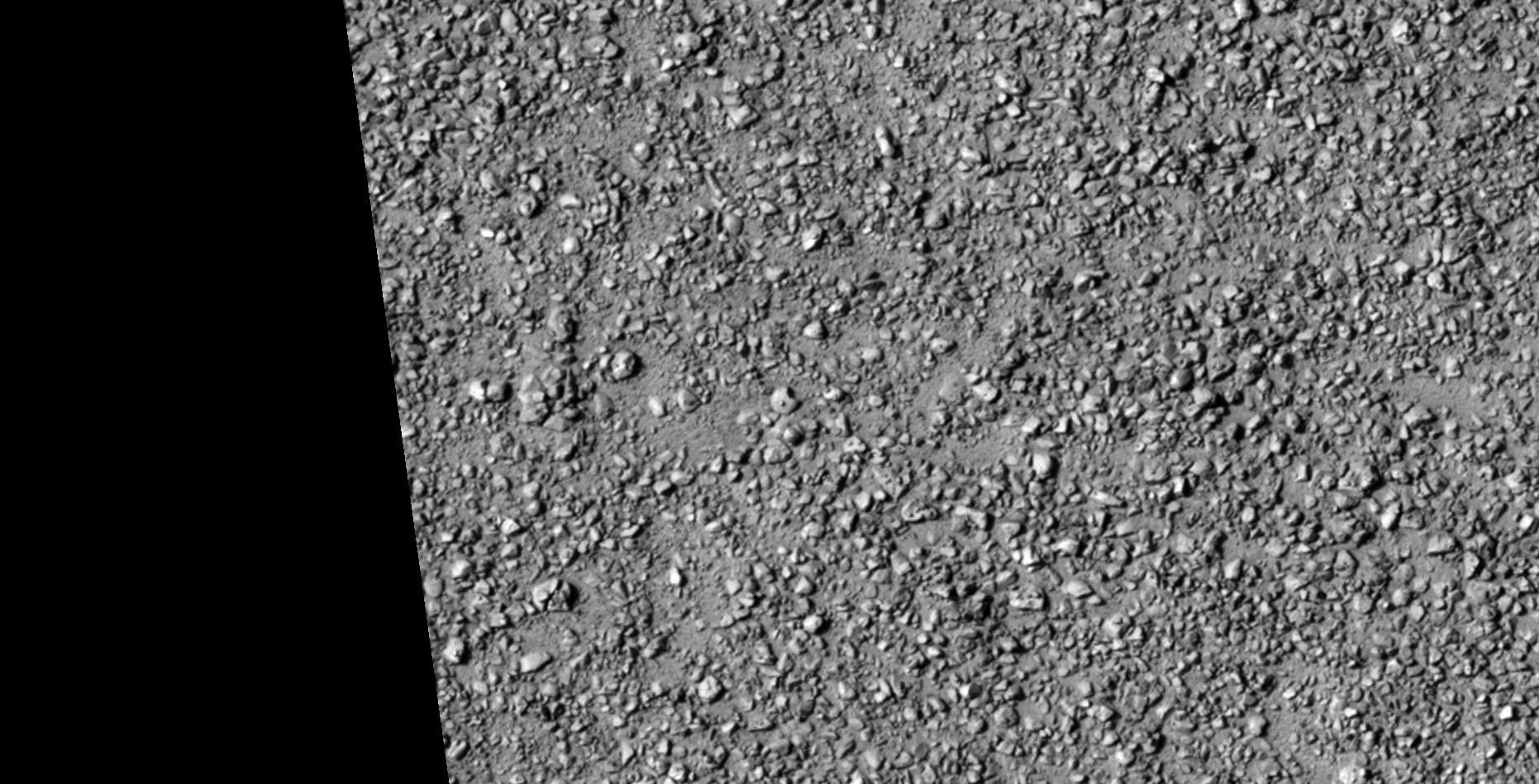
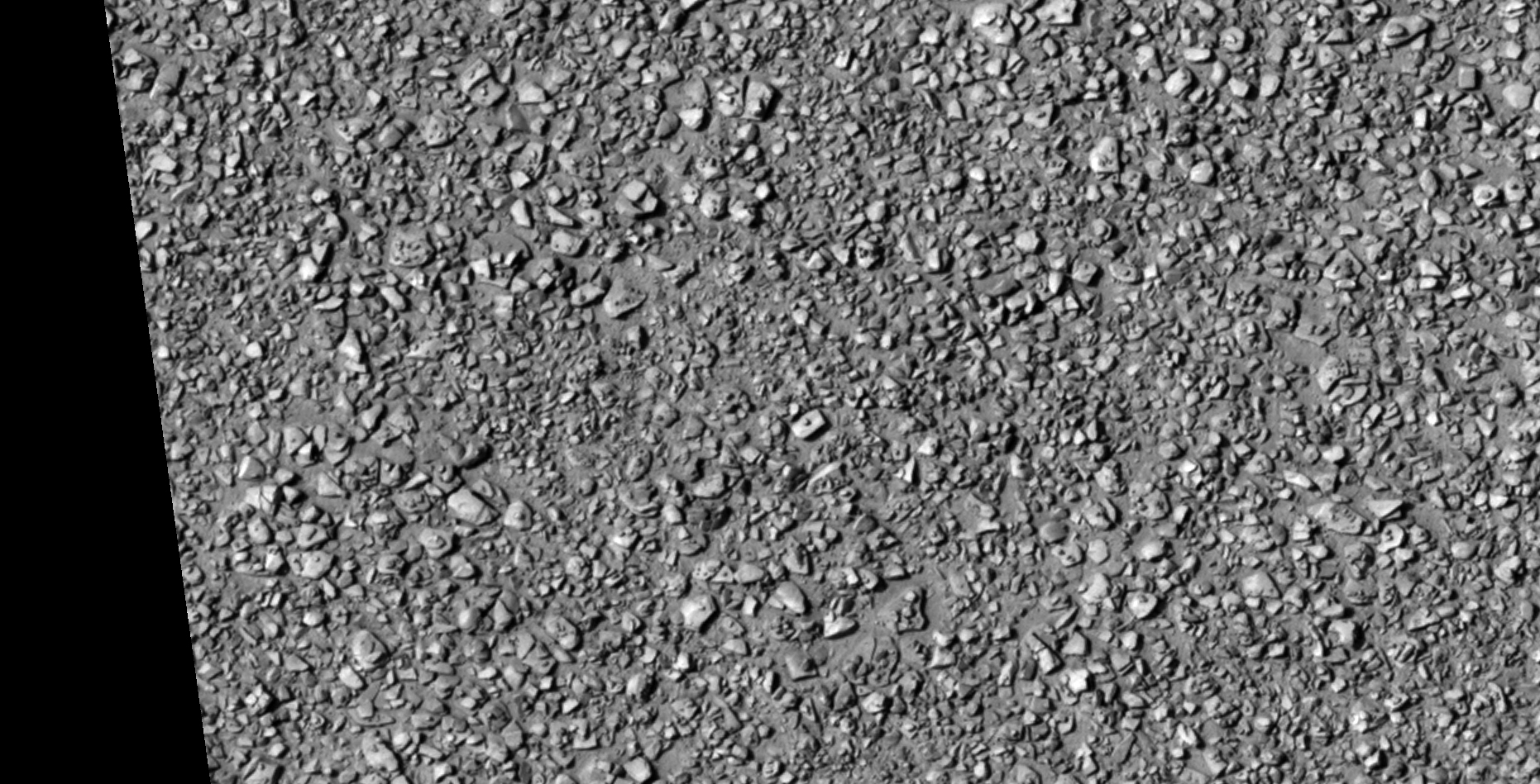
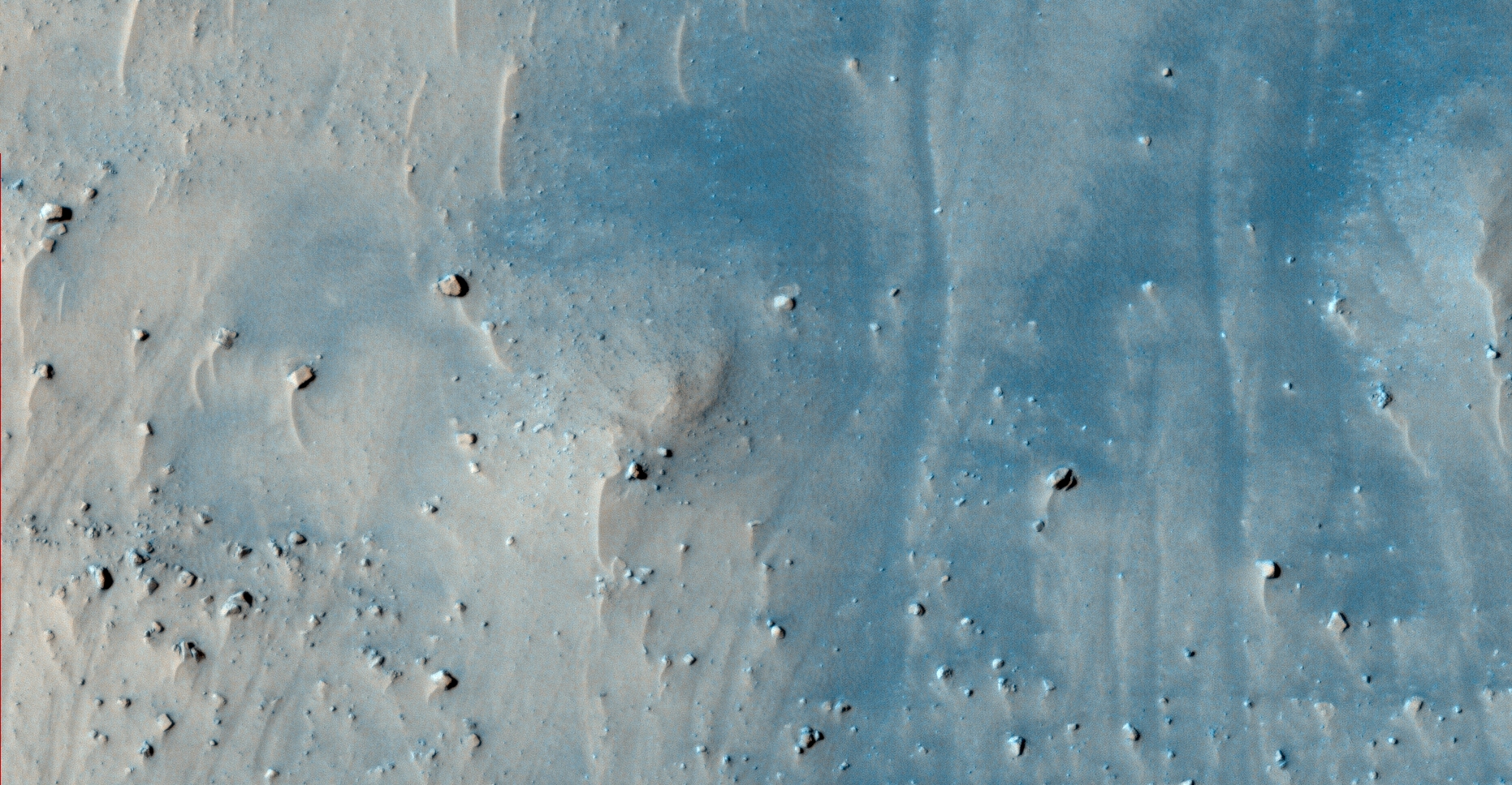
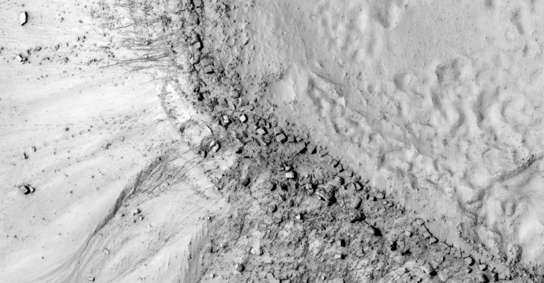
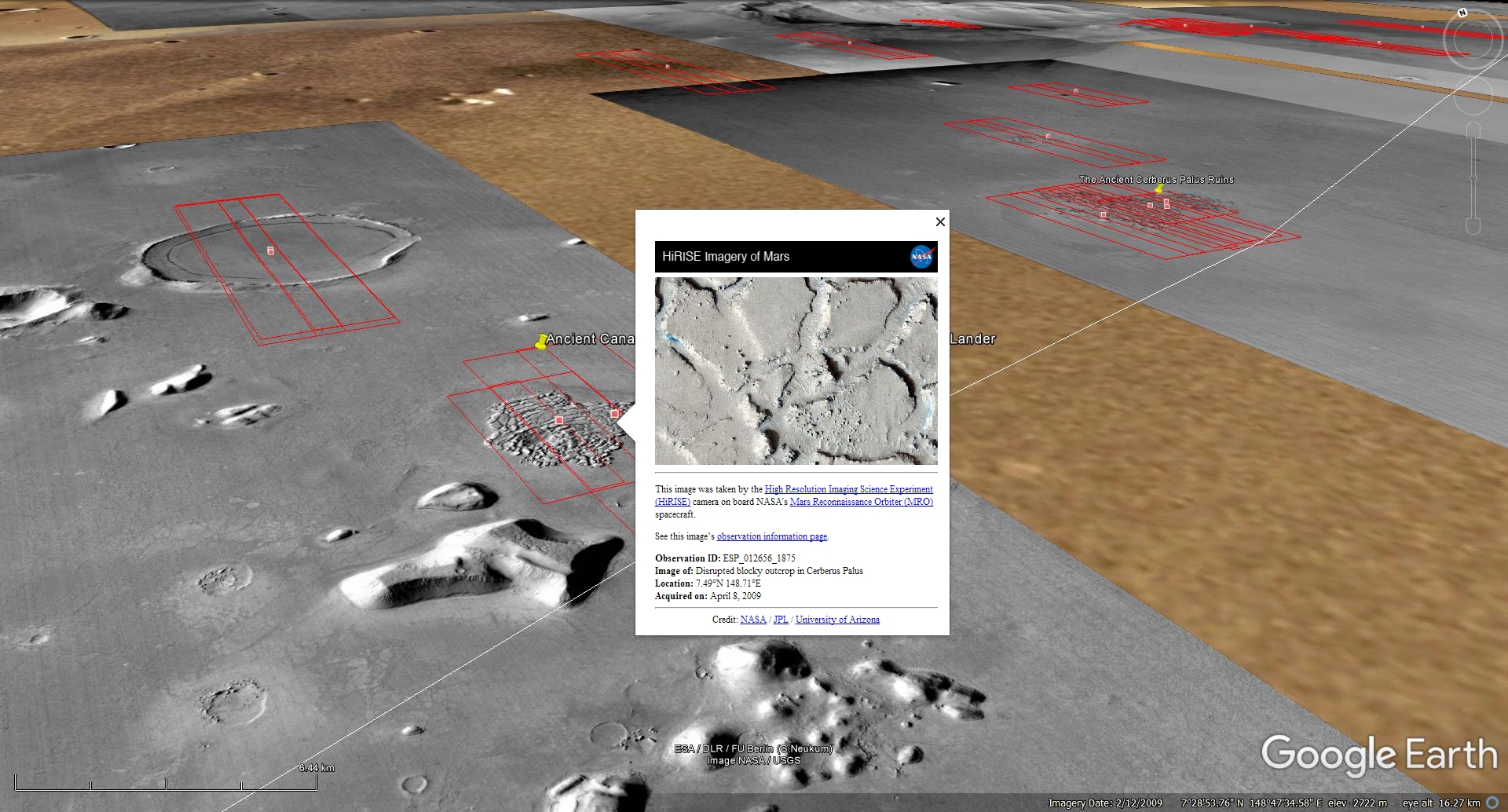
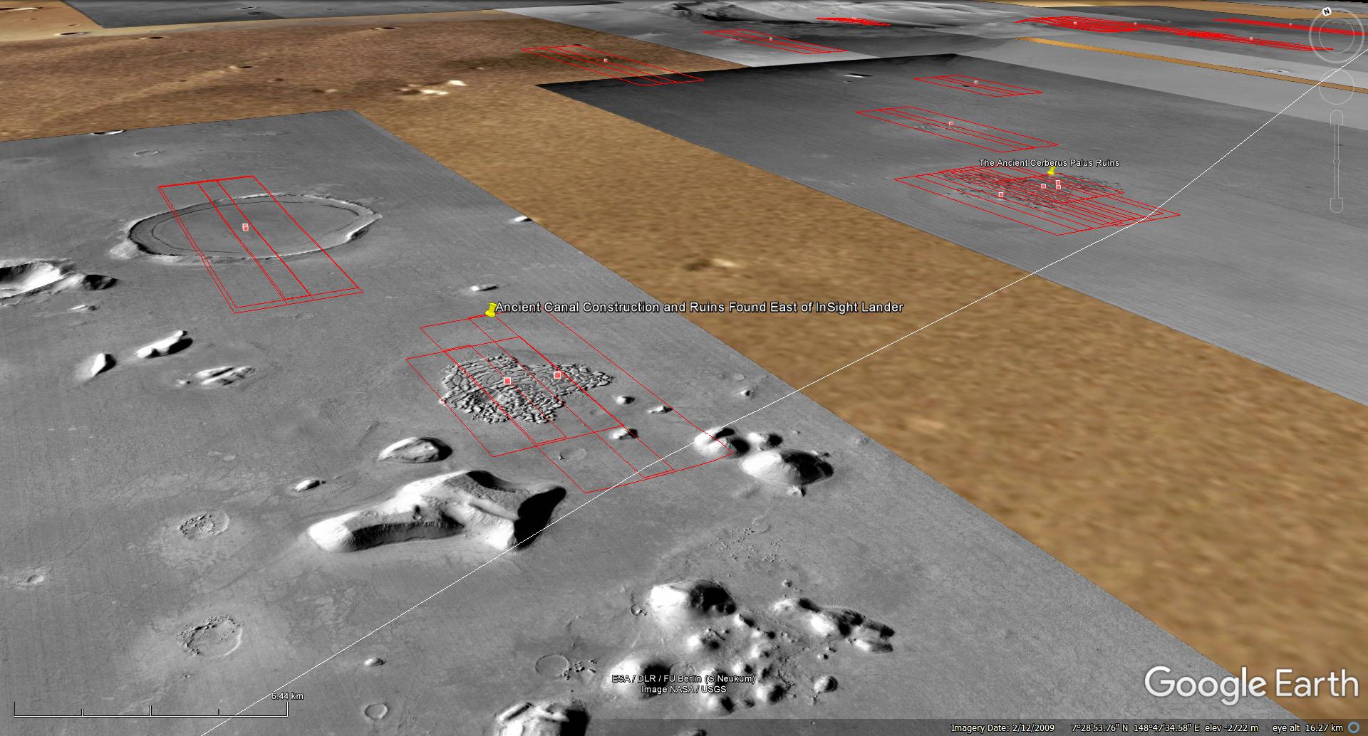
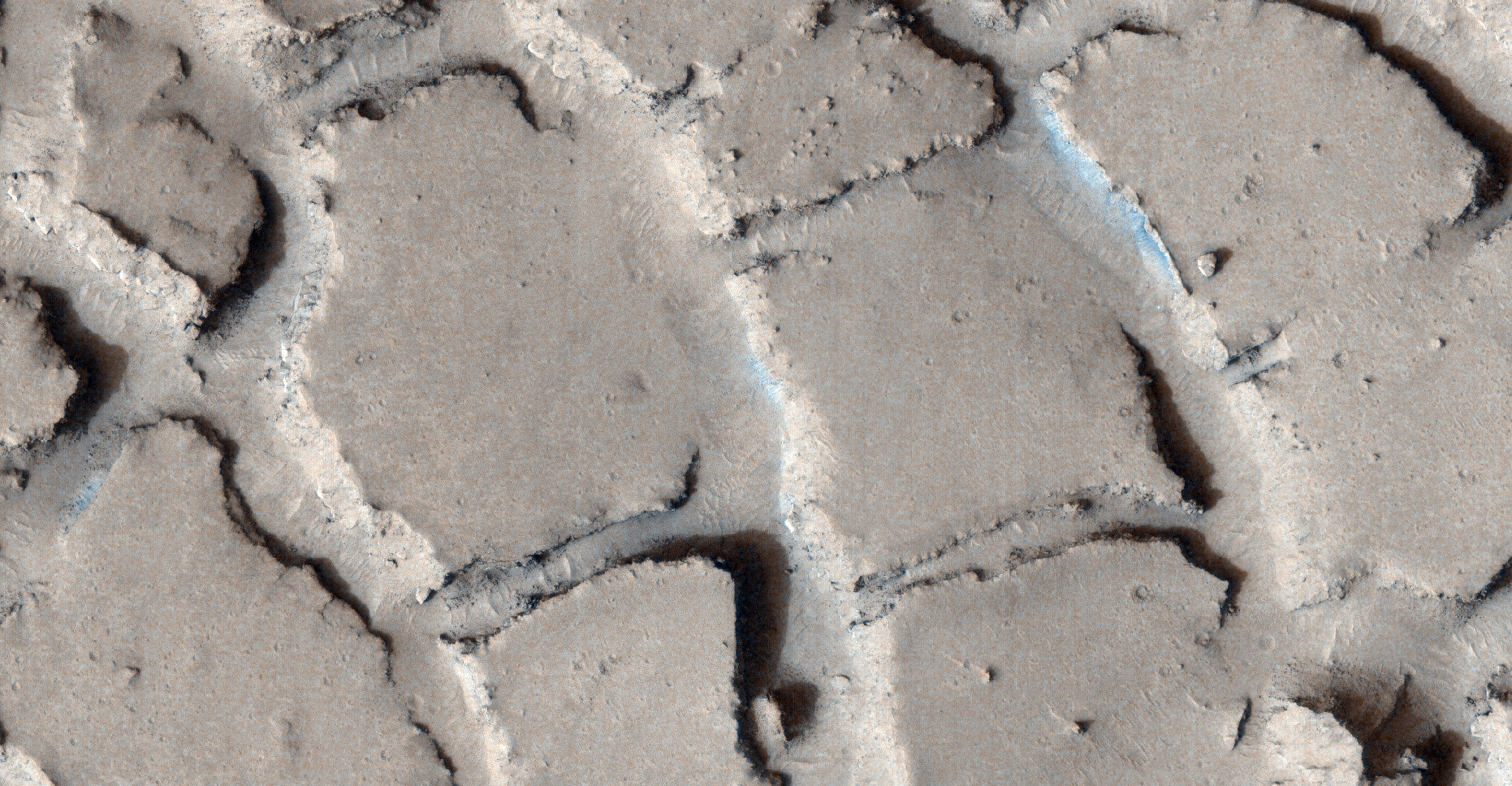
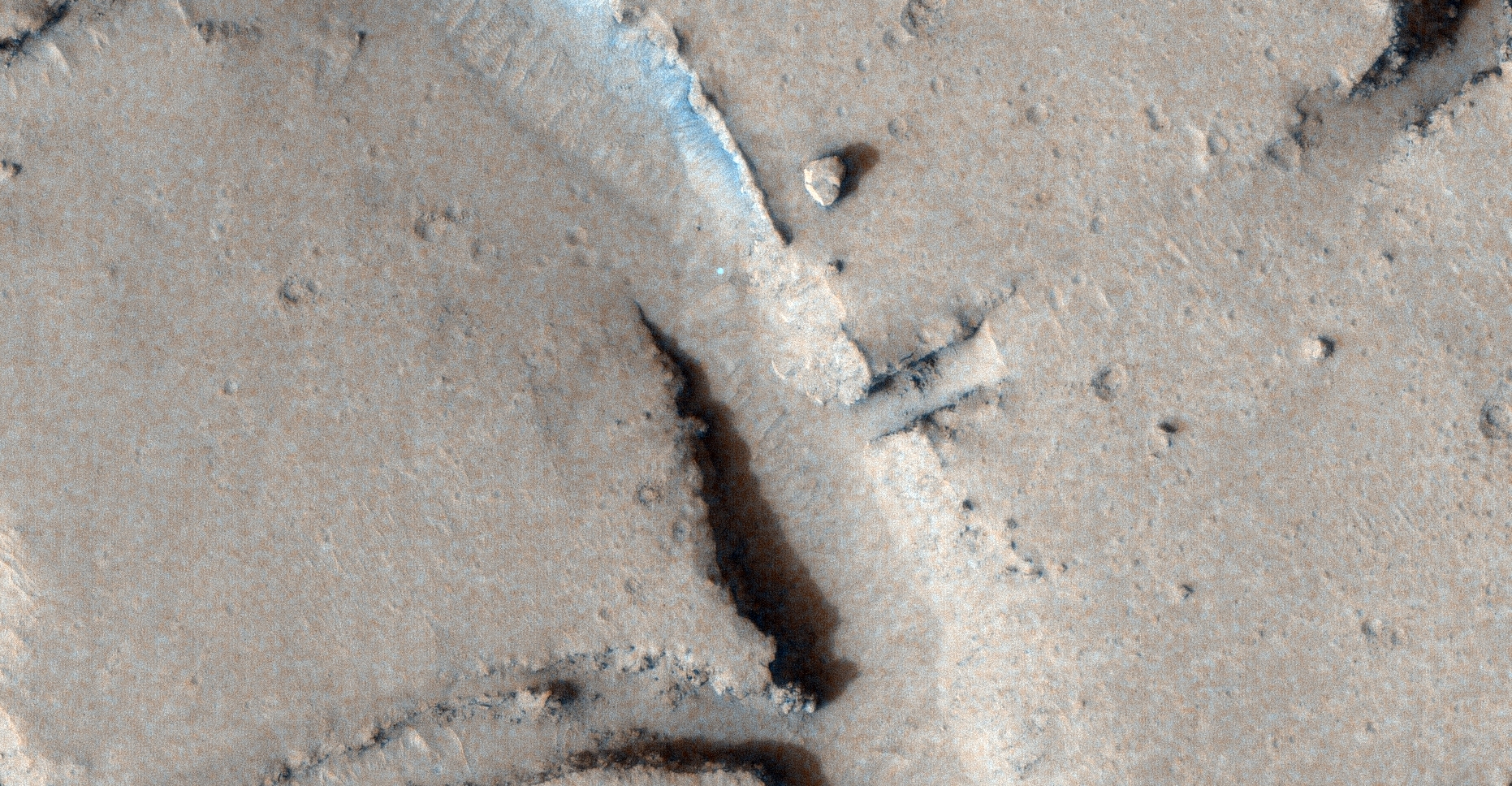
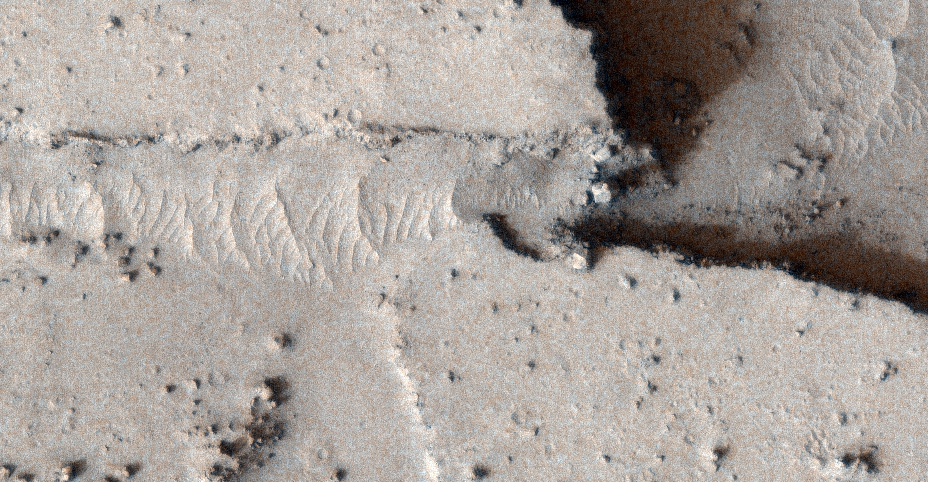
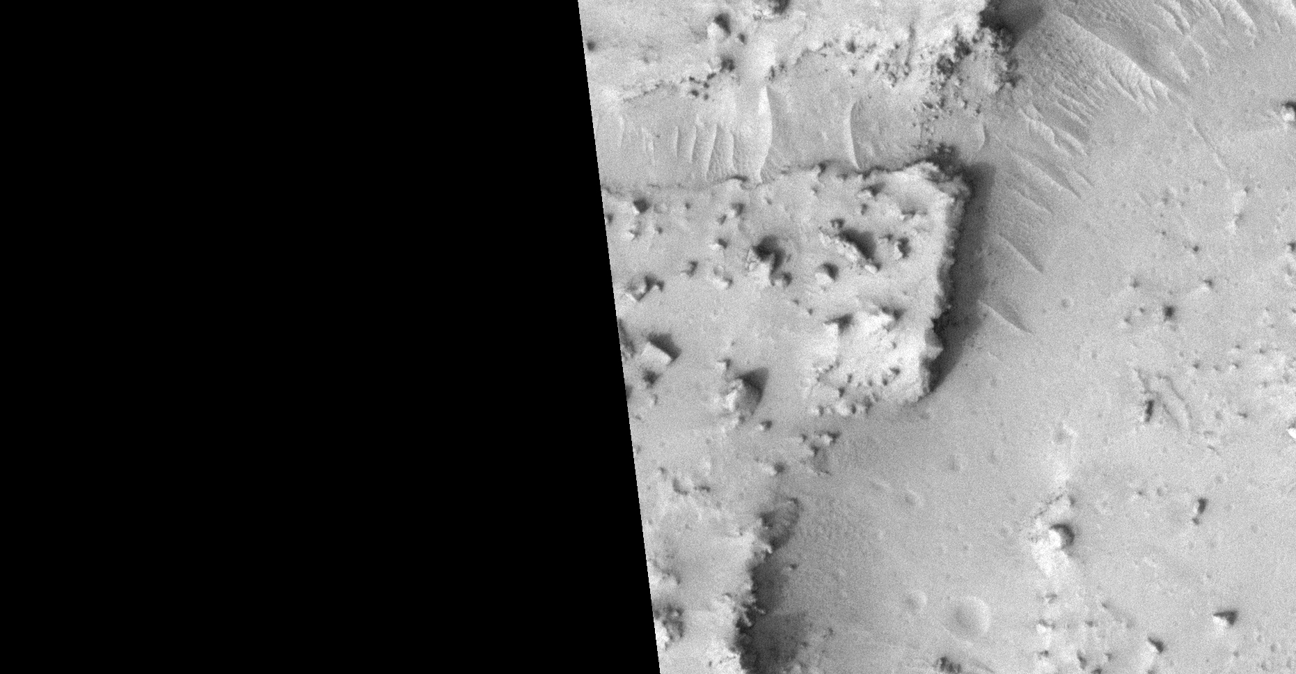
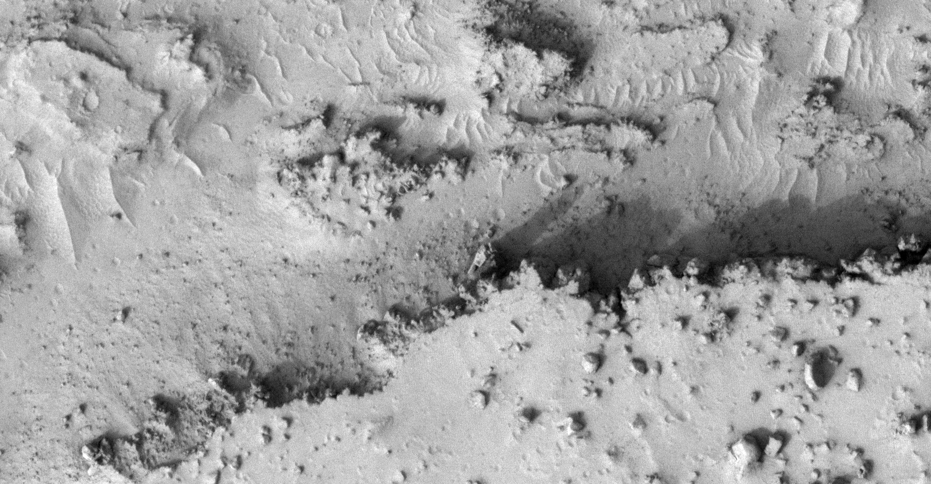
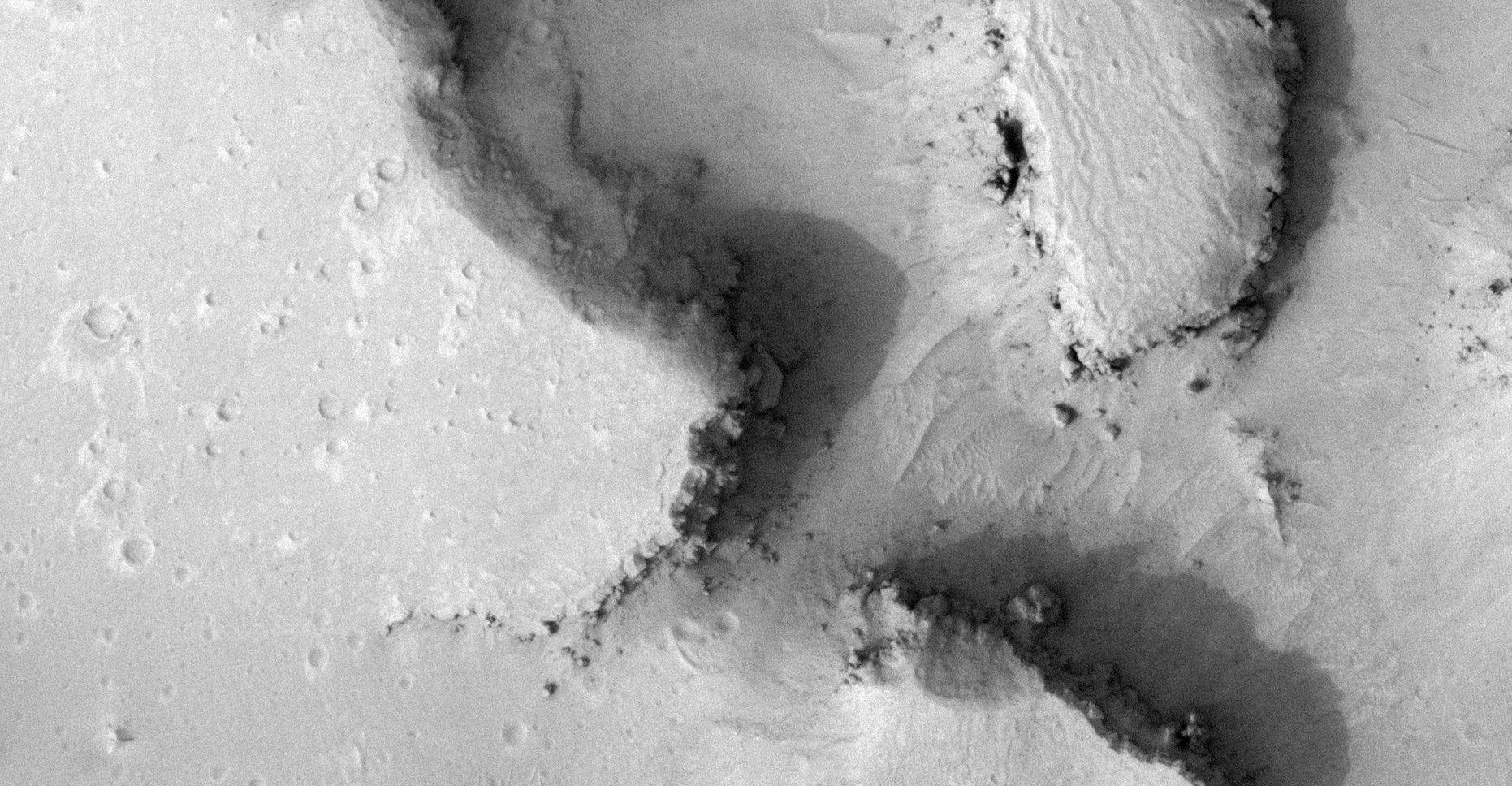
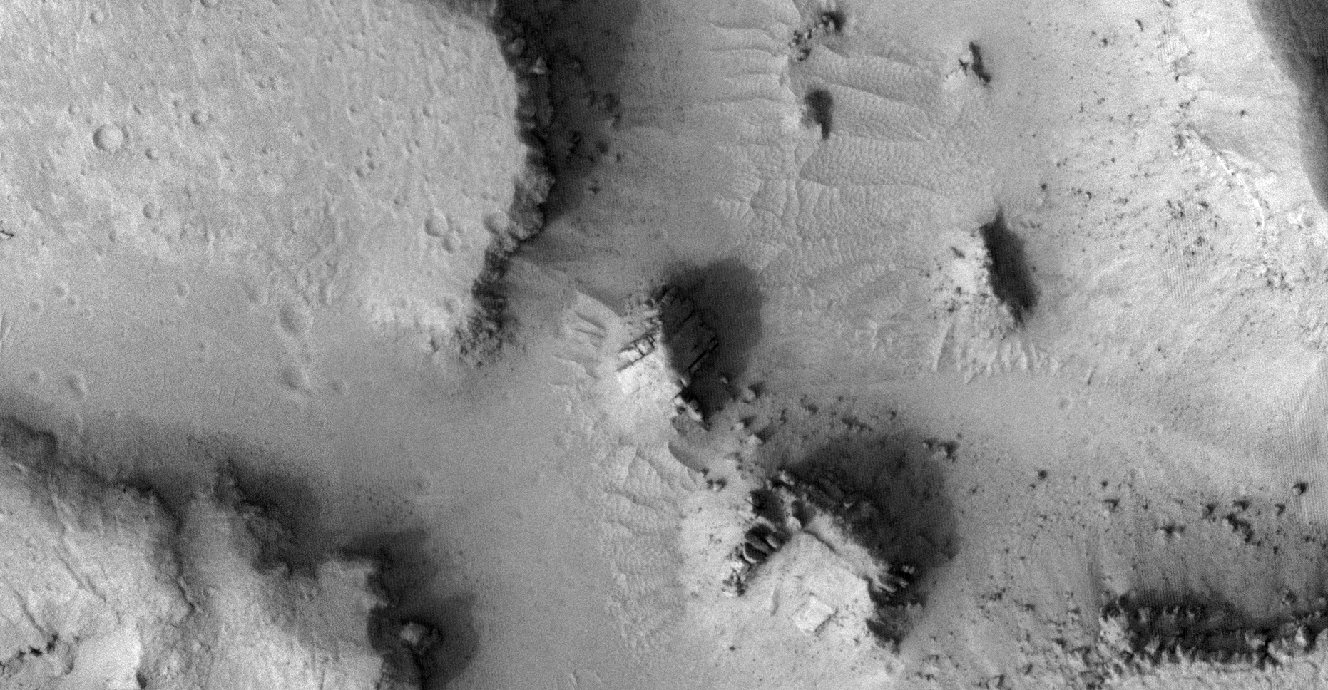
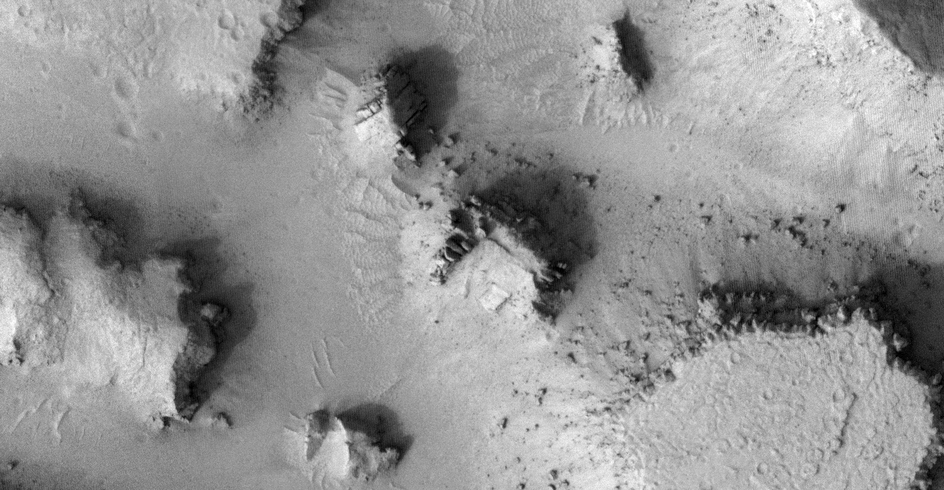
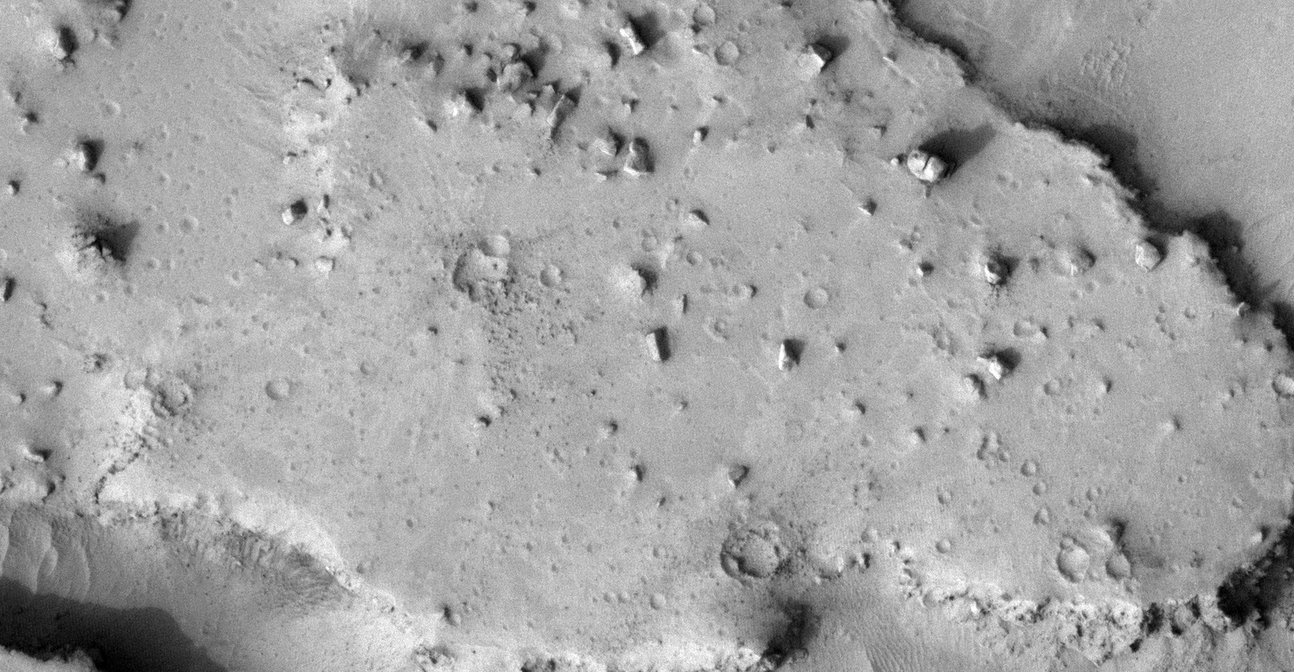
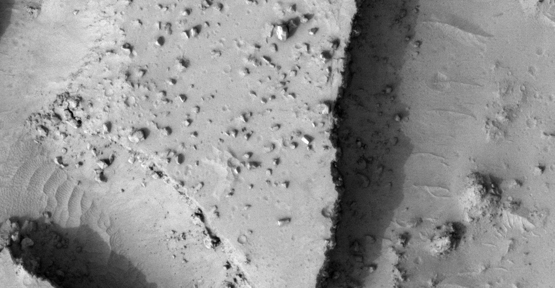
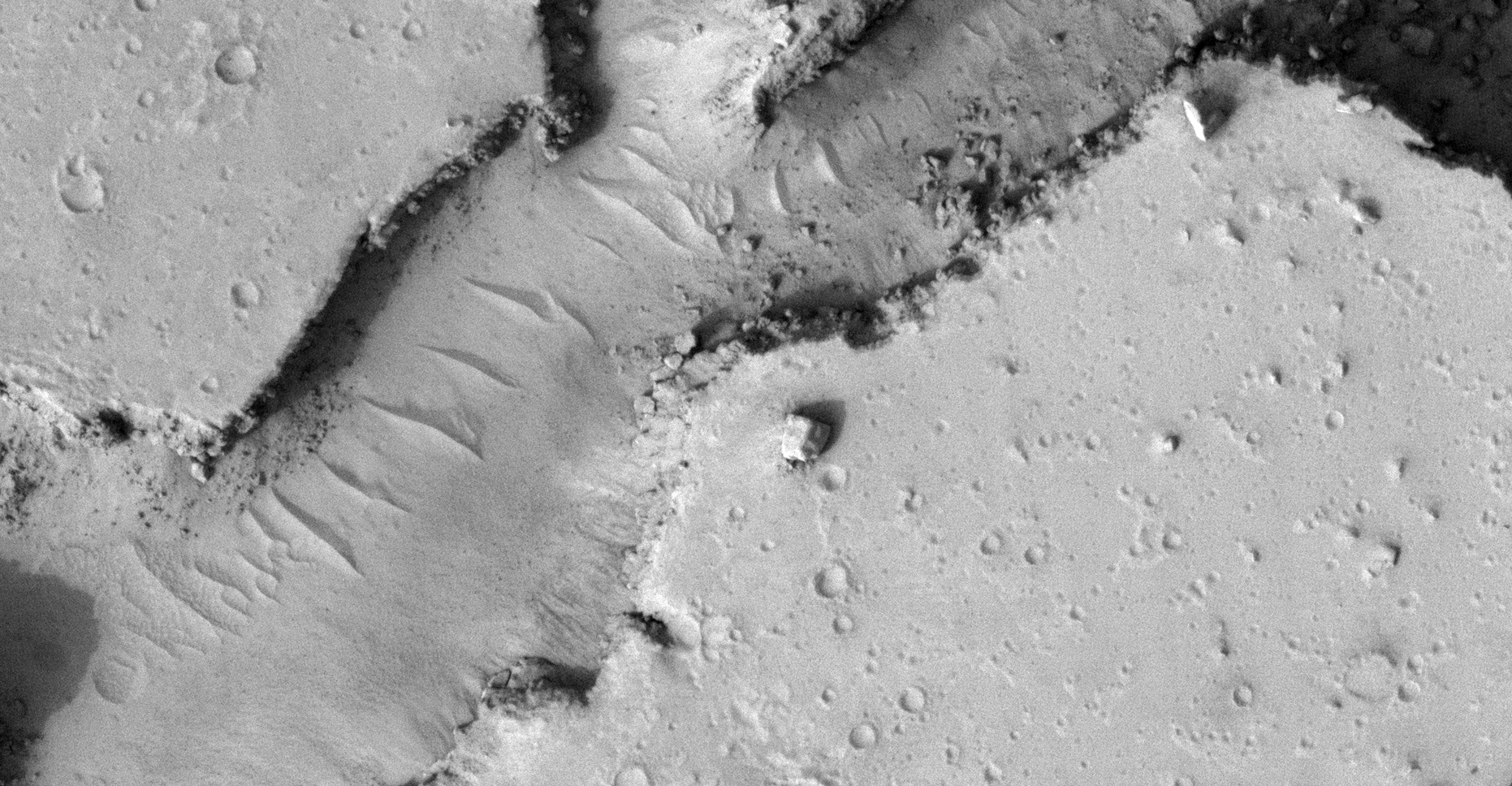
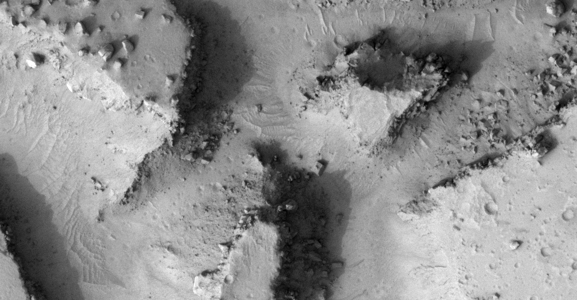
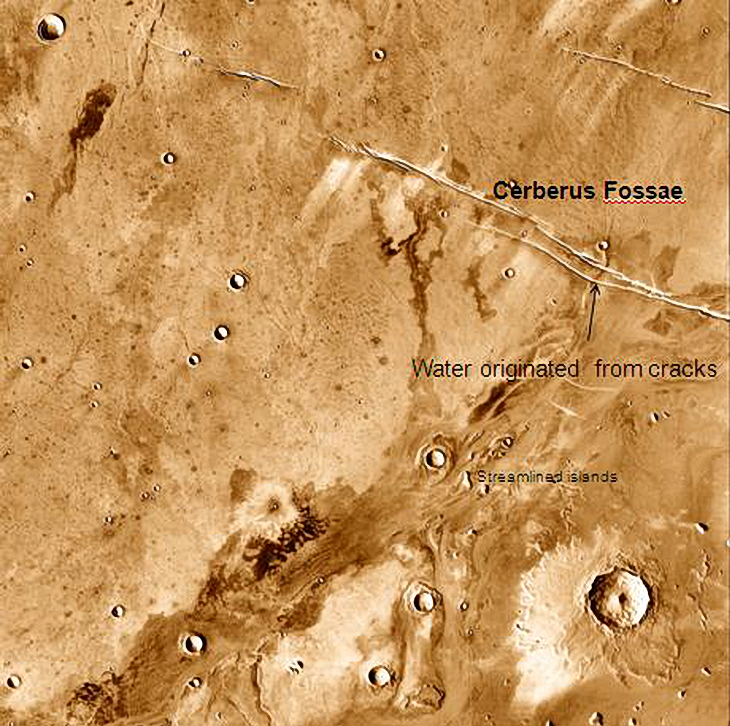
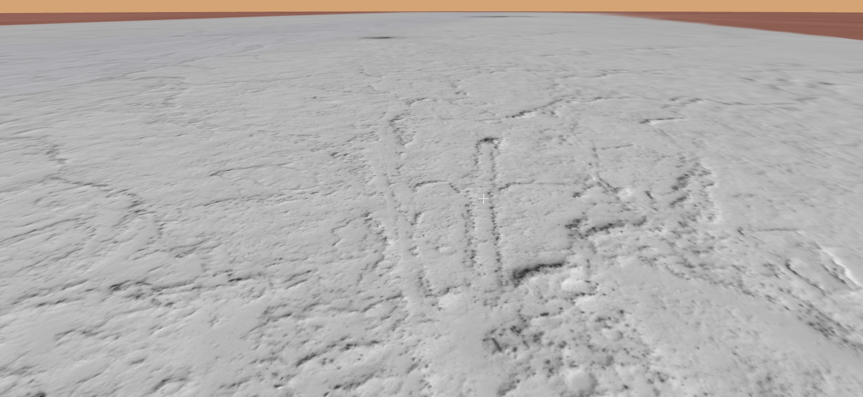
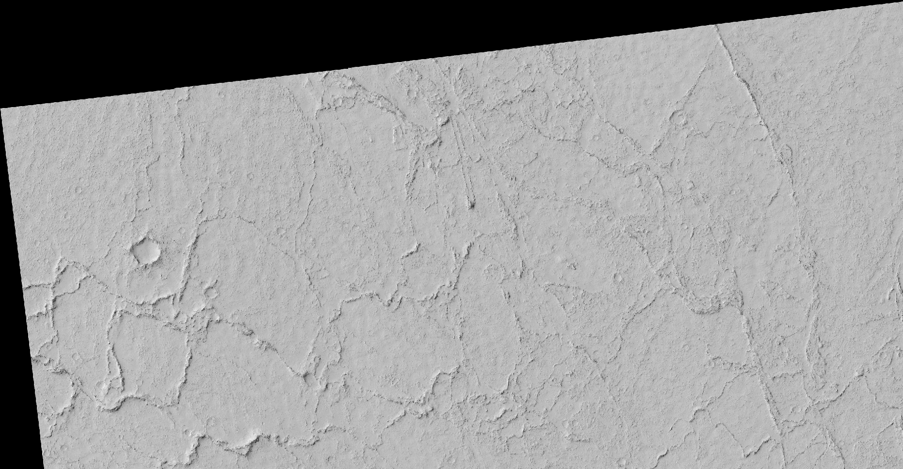
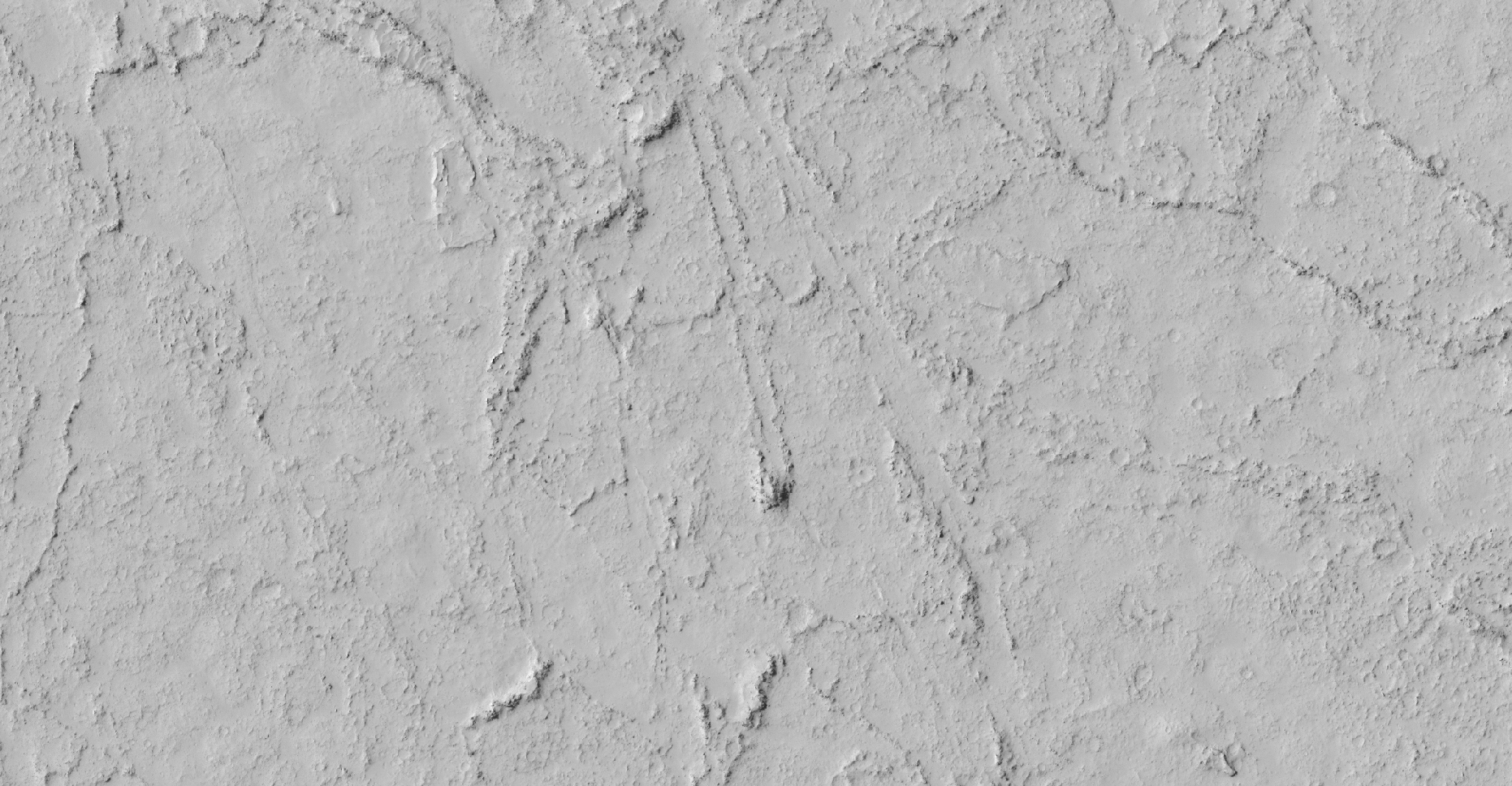
The photograph analyzed here (ESP_012656_1875) was taken by NASA’s Mars Reconnaissance Orbiter on 08 April 2009 and is described as ‘Disrupted Blocky Outcrop in Cerberus Palus.’
Here I feature what looks like a trench about 50 m long by about 20 m wide. I speculate this might be an abandoned canal construction site. It also looks like this partial trench was going to link up with another canal at the opposite end.
There are also what appear to be numerous ancient structures and ruins as well as many megalithic blocks and perhaps some wreckage.
An elevated view of this site being analyzed (click for larger image)An elevated view of this site being analyzed (click for larger image)Zoomed out, not to scaleClick for original image at 1:1 scaleClick for original image at 1:1 scaleClick for original image at 1:1 scaleClick for original image at 1:1 scaleClick for original image at 1:1 scaleClick for original image at 1:1 scaleClick for original image at 1:1 scaleClick for original image at 1:1 scaleClick for original image at 1:1 scaleClick for original image at 1:1 scaleClick for original image at 1:1 scaleClick for original image at 1:1 scaleClick for original image at 1:1 scaleClick for original image at 1:1 scaleClick for original image at 1:1 scaleClick for original image at 1:1 scaleClick for original image at 1:1 scaleClick for original image at 1:1 scaleClick for original image at 1:1 scaleClick for original image at 1:1 scaleClick for original image at 1:1 scaleClick for original image at 1:1 scaleClick for original image at 1:1 scaleClick for original image at 1:1 scaleClick for original image at 1:1 scaleClick for original image at 1:1 scaleClick for original image at 1:1 scale
Images saved from within HiView or CTX viewer do not include image scale indicators. The image scale indicators I include in images are based on the official resolutions provided by NASA and although I strive to be as accurate as possible there may be slight deviations from the actual scale. Image scale indicators are included as a size approximation tool only.
Geometry lines are mapped as accurately as possible using the limited information, data and mapping tools available at the time, therefore the lines may deviate from target sites by a few kilometres. Revisions may be made in the future as new, more precise information, data and mapping tools become available.
Many or all of the anomalies/artefacts covered in this presentation may be naturally occurring geological features caused by some type of geological processes, however due to the lack of specific information from the source we can only speculate whether these are all natural or some artificial in nature.
In cases where I say an anomaly looks like something I’m attempting to clarify what I see and not specifically that the anomaly is what I say it looks like.
My intention is only to share anomalies I’ve discovered on Mars and not to convince anyone that there is or was a civilization on Mars.
As Will Farrar from WhatsUpInTheSky says: “I see what I see, you see what you see.”
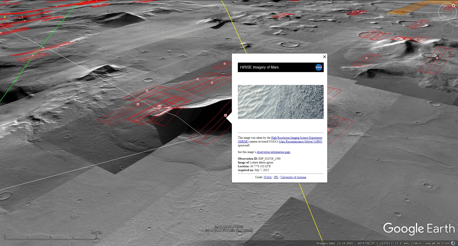
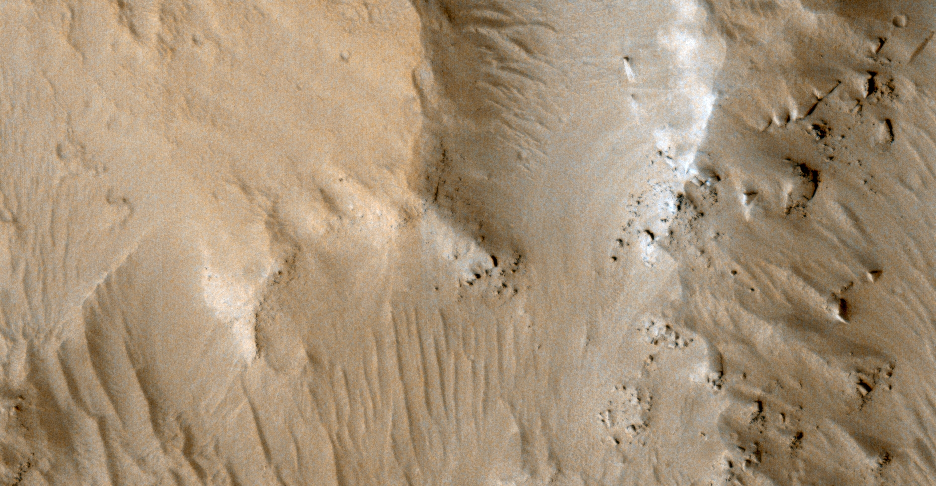
The photograph analyzed here (ESP_032556_1390) was taken by NASA’s Mars Reconnaissance Orbiter on 07 July 2013 and is described as ‘Lobate Debris Apron.’
Here I feature huge, perfect sphere’s or balls I discovered on the side of what looks like an ancient eroded pyramid on Mars.
The spheres measure approximately 5 metres in diameter and look exactly like those found on Earth in Easter Island, Costa Rica and other regions.
I speculate the same ancient builder race/s that constructed the megalithic structures of Earth also built those found on Mars, however due to devastating catastrophes on Mars in the distant past we are only seeing the remnants, e.g. megalithic blocks,/slabs, spheres, sculptures and ruins.
An elevated view of this site being analyzed (click for larger image)An elevated view of this site being analyzed (click for larger image)Click for original image at 1:1 scaleClick for original image at 1:1 scaleClick for original image at 1:1 scaleClick for original image at 1:1 scaleClick for original image at 1:1 scaleClick for original image at 1:1 scaleClick for original image at 1:1 scaleClick for original image at 1:1 scaleClick for original image at 1:1 scaleClick for original image at 1:1 scaleClick for original image at 1:1 scaleClick for original image at 1:1 scaleClick for original image at 1:1 scale
Images saved from within HiView or CTX viewer do not include image scale indicators. The image scale indicators I include in images are based on the official resolutions provided by NASA and although I strive to be as accurate as possible there may be slight deviations from the actual scale. Image scale indicators are included as a size approximation tool only.
Geometry lines are mapped as accurately as possible using the limited information, data and mapping tools available at the time, therefore the lines may deviate from target sites by a few kilometres. Revisions may be made in the future as new, more precise information, data and mapping tools become available.
Many or all of the anomalies/artefacts covered in this presentation may be naturally occurring geological features caused by some type of geological processes, however due to the lack of specific information from the source we can only speculate whether these are all natural or some artificial in nature.
In cases where I say an anomaly looks like something I’m attempting to clarify what I see and not specifically that the anomaly is what I say it looks like.
My intention is only to share anomalies I’ve discovered on Mars and not to convince anyone that there is or was a civilization on Mars.
As Will Farrar from WhatsUpInTheSky says: “I see what I see, you see what you see.”
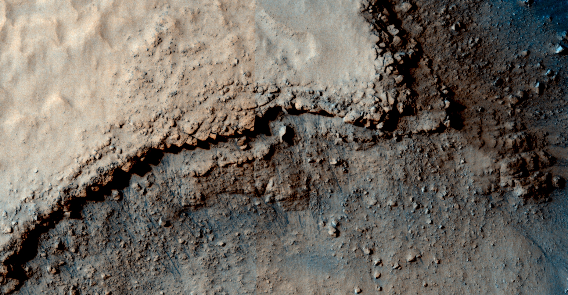
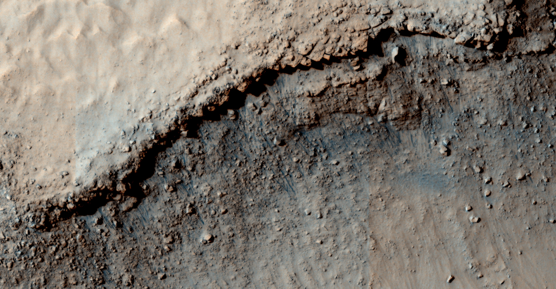
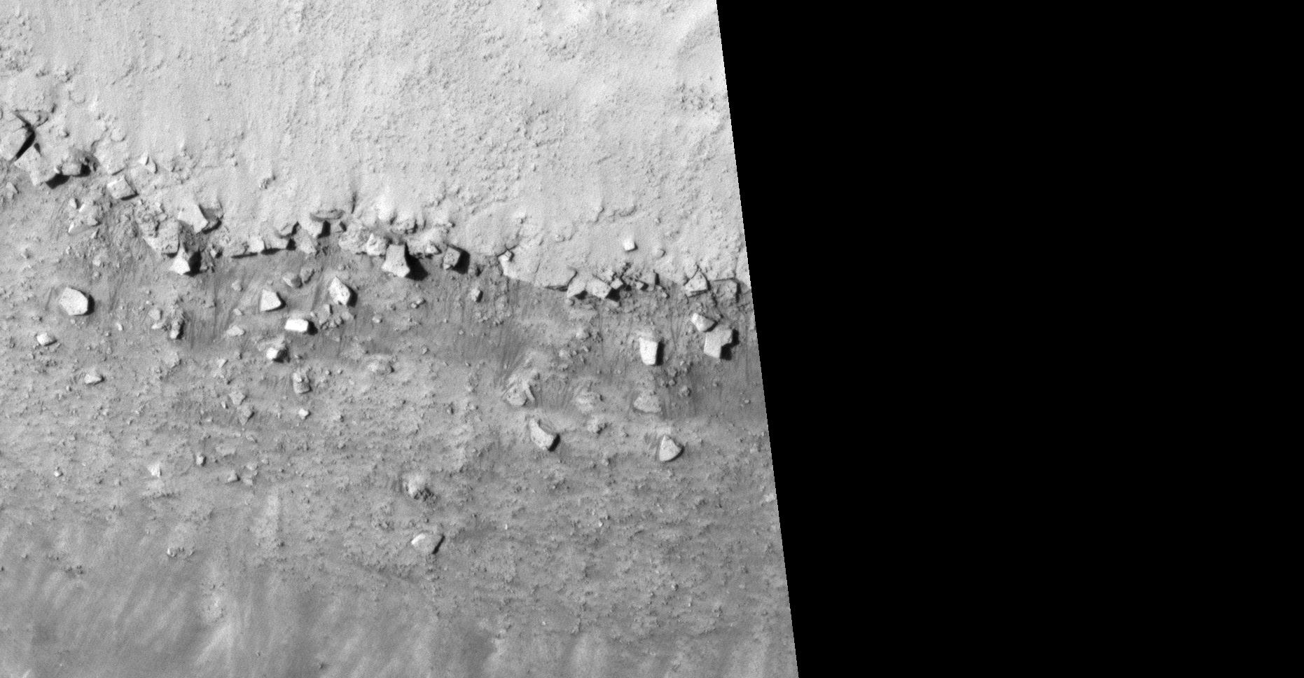
The photograph analyzed here (ESP_048443_1810) was taken by NASA’s Mars Reconnaissance Orbiter on 26 November 2016 and is described as ‘Avernus Colles.’
Another triangular structure found in Elysium Planitia making it the third anomaly that looks like a partial pyramid.
Also, more megalithic blocks that look like they were part of structures and now lie in ruins.
An elevated view of this site being analyzed (click for larger image)Click for original image at 1:1 scaleClick for original image at 1:1 scaleClick for original image at 1:1 scaleClick for original image at 1:1 scaleClick for original image at 1:1 scaleClick for original image at 1:1 scaleZoomed out, not to scale (click for larger image)Click for original image at 1:1 scale
Images saved from within HiView or CTX viewer do not include image scale indicators. The image scale indicators I include in images are based on the official resolutions provided by NASA and although I strive to be as accurate as possible there may be slight deviations from the actual scale. Image scale indicators are included as a size approximation tool only.
Geometry lines are mapped as accurately as possible using the limited information, data and mapping tools available at the time, therefore the lines may deviate from target sites by a few kilometres. Revisions may be made in the future as new, more precise information, data and mapping tools become available.
Many or all of the anomalies/artefacts covered in this presentation may be naturally occurring geological features caused by some type of geological processes, however due to the lack of specific information from the source we can only speculate whether these are all natural or some artificial in nature.
In cases where I say an anomaly looks like something I’m attempting to clarify what I see and not specifically that the anomaly is what I say it looks like.
My intention is only to share anomalies I’ve discovered on Mars and not to convince anyone that there is or was a civilization on Mars.
As Will Farrar from WhatsUpInTheSky says: “I see what I see, you see what you see.”
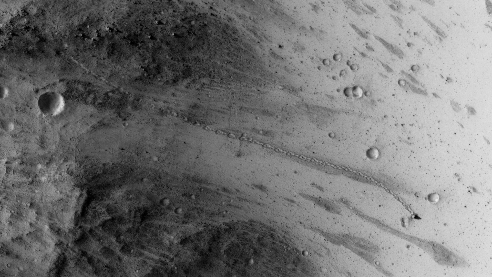
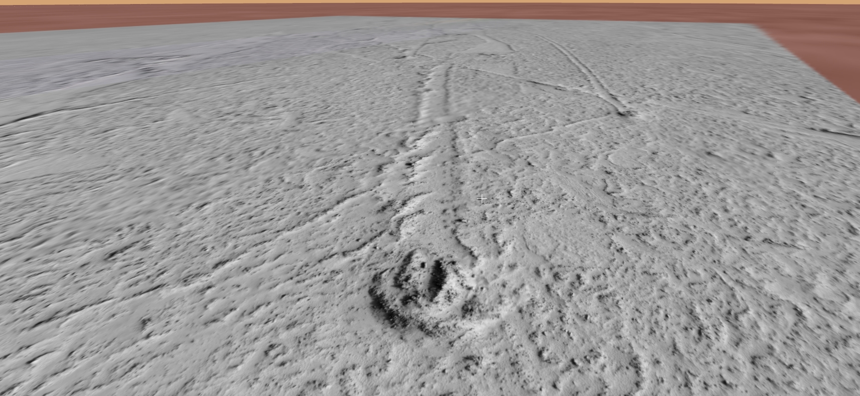
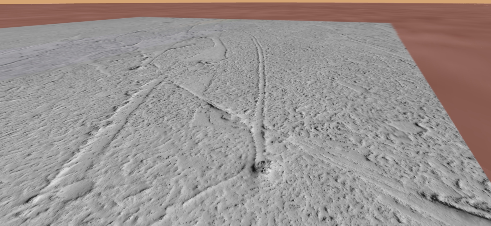
This is a collaborative work between my friend, Saturn Ark and myself in which evidence showing possible Horseshoe Crab-type fossils on Mars are presented.
Two HiRISE photographs are analyzed here:
PSP_003663_1775 was taken by NASA’s Mars Reconnaissance Orbiter on 08 May 2007 and is described as ‘Flow Obstructions and Wakes Southeast of Elysium Planitia.’
PSP_007777_1790 was taken by NASA’s Mars Reconnaissance Orbiter on 24 March 2008 and is described as ‘Vent Belonging to the Cerberus Tholi.’
Background
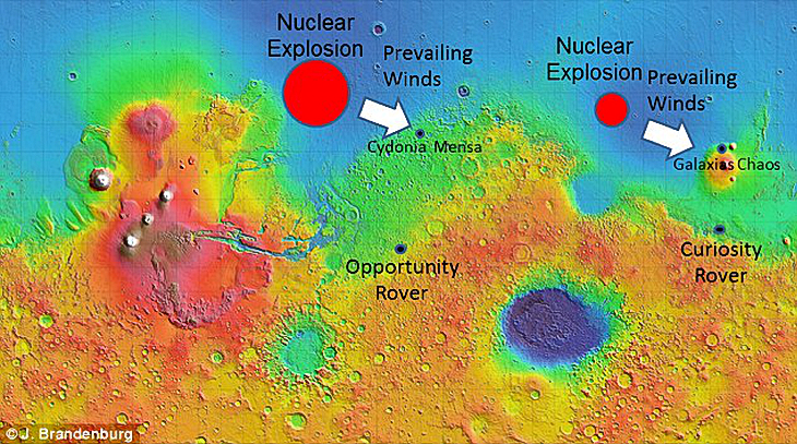
Extract from Dr. J.E. Brandenburg’s (Plasma Physicist) Presentation:
“Mars was apparently Earth-like for most of its history with an ocean and persistent greenhouse … ”
Mars experienced multiple devastating catastrophes:
“Mars suffered a Chixulube-size impact formed the Lyot Impact Basin and apparently collapsed Mars climate and dried up its oceans … “
Following an “indeterminate period Mars suffered a bizarre nuclear disaster … “
Reference: Evidence for a Large Anomalous Nuclear Explosions in Mars Past Dr. J.E. Brandenburg
Two massive nuclear explosions Source: Dr. J.E. BrandenburgEpic flooding in Elysium Planitia Wikipedia
My Hypothesis
Due to the Earth-like conditions, creatures similar to Horseshoe Crabs lived on Mars. They grew to epic proportions due to the lower gravity.
Mega flooding occurred with the initial impact in Lyot Impact Basin.
The oceans and lakes dried up and left mud and water pools scattered about.
Water based life-forms, like Horseshoe Crab-like creatures seemed to have survived in the mud and surrounding water pools.
These life-forms appear to have been killed and stopped in their tracks probably due to the nuclear explosion nearby, they then decomposed and fossilized. Only their tracks and fossilized remnants are now seen on Mars.
Elysium Planitia, the plains where they appear to have lived, is close to the 1st nuclear explosion in Mare Acidalium’s anti-node and just South of the 2nd nuclear explosion in Utopia Planum.
The mega-flooding and nuclear explosions devastated the Martian surface as seen in all the anomalies/artefacts researchers like myself are discovering.
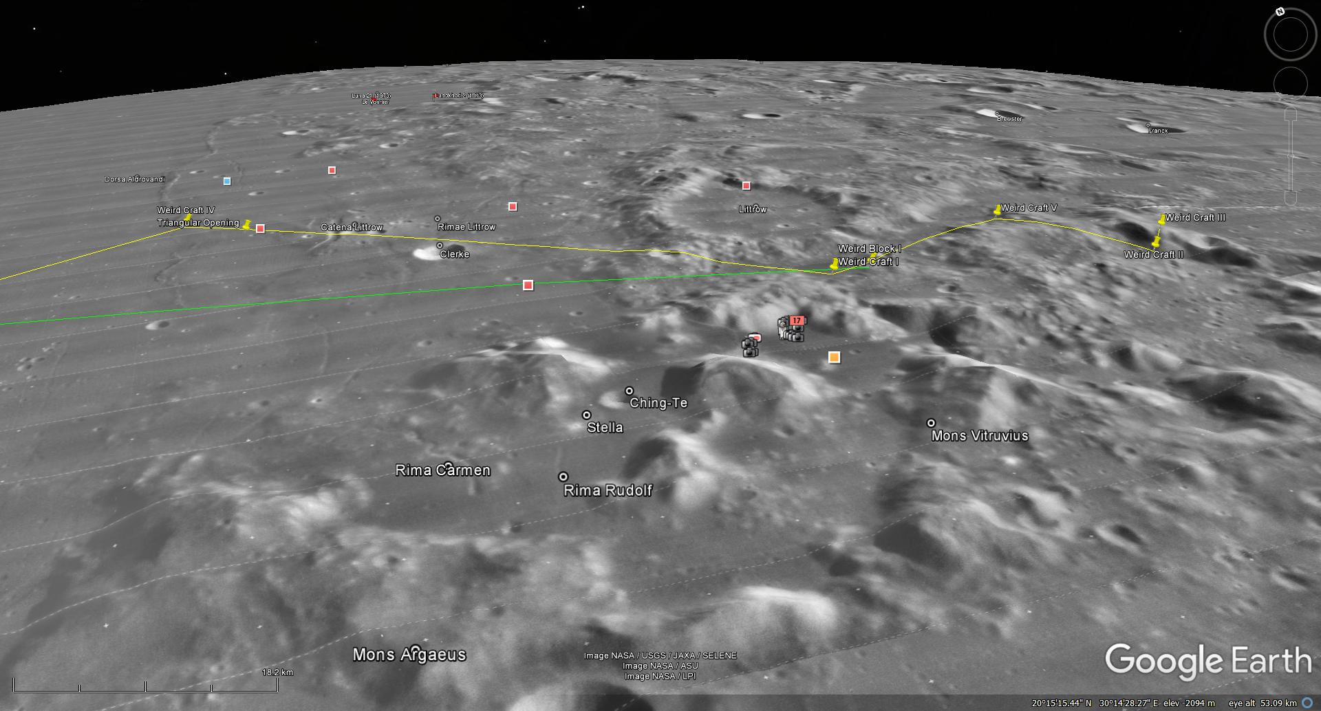
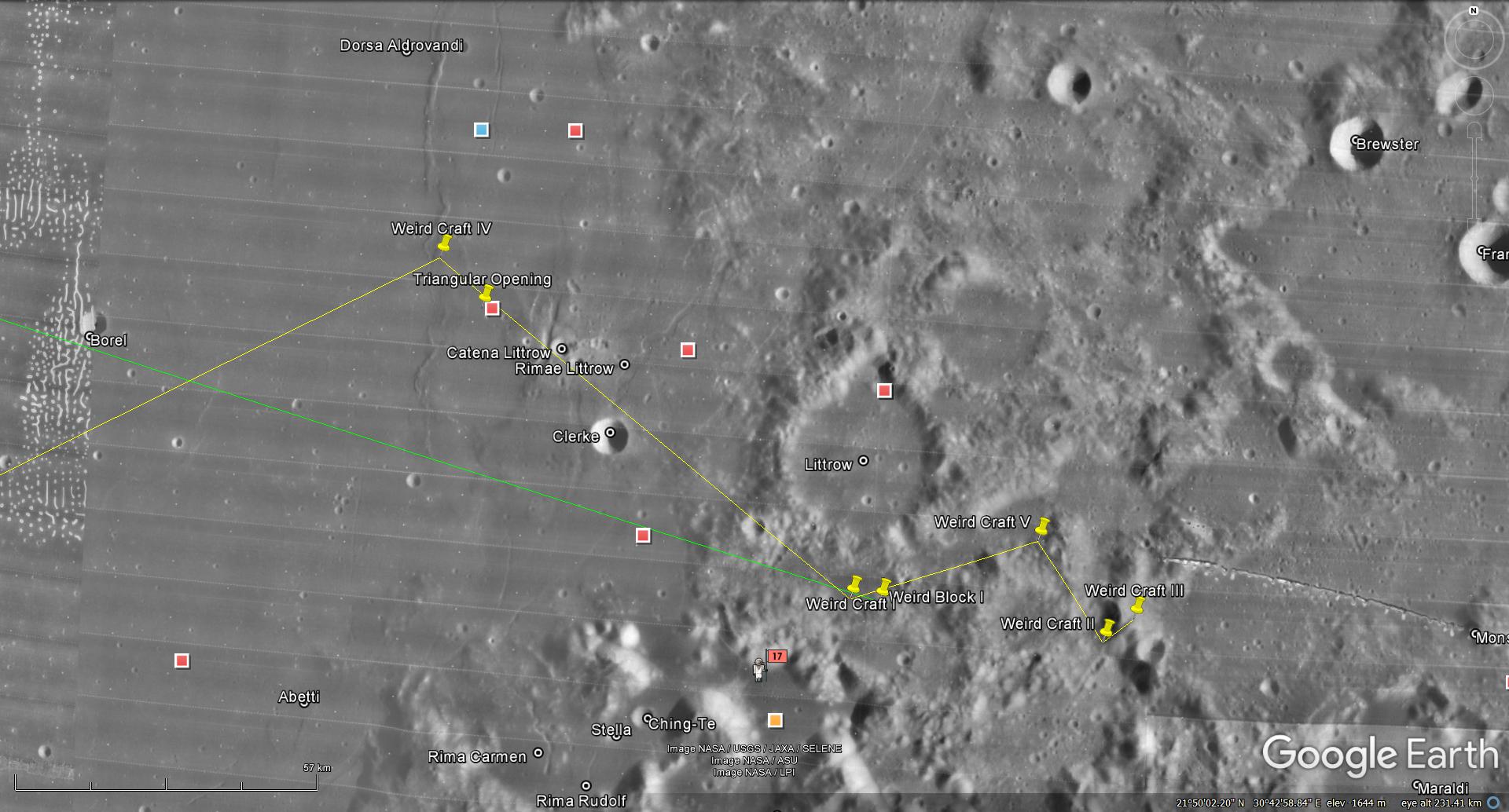
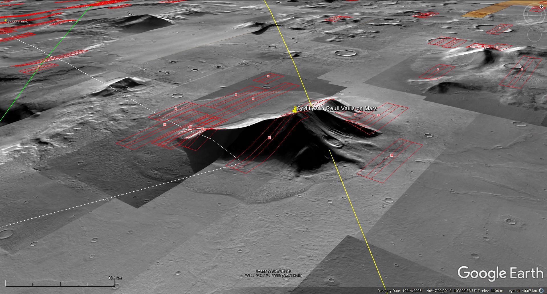
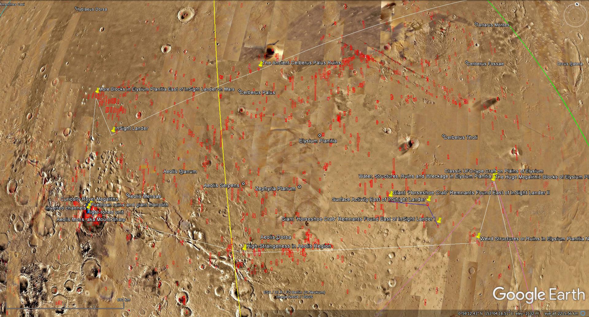
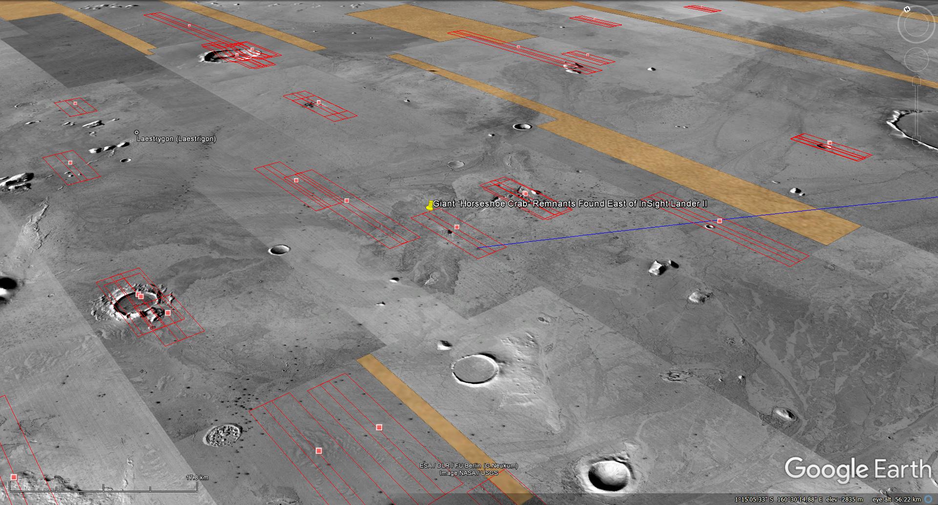
A Mars context map
The following map shows the section of Mars being analyzed. I think NASA knows about the megalithic block, ruins, structures, water and fossilized creatures I discovered, i.e. both InSight Lander as well as Curiosity Rover are nearby.
A Mars context map showing the section of Mars being analyzed (click for larger image)
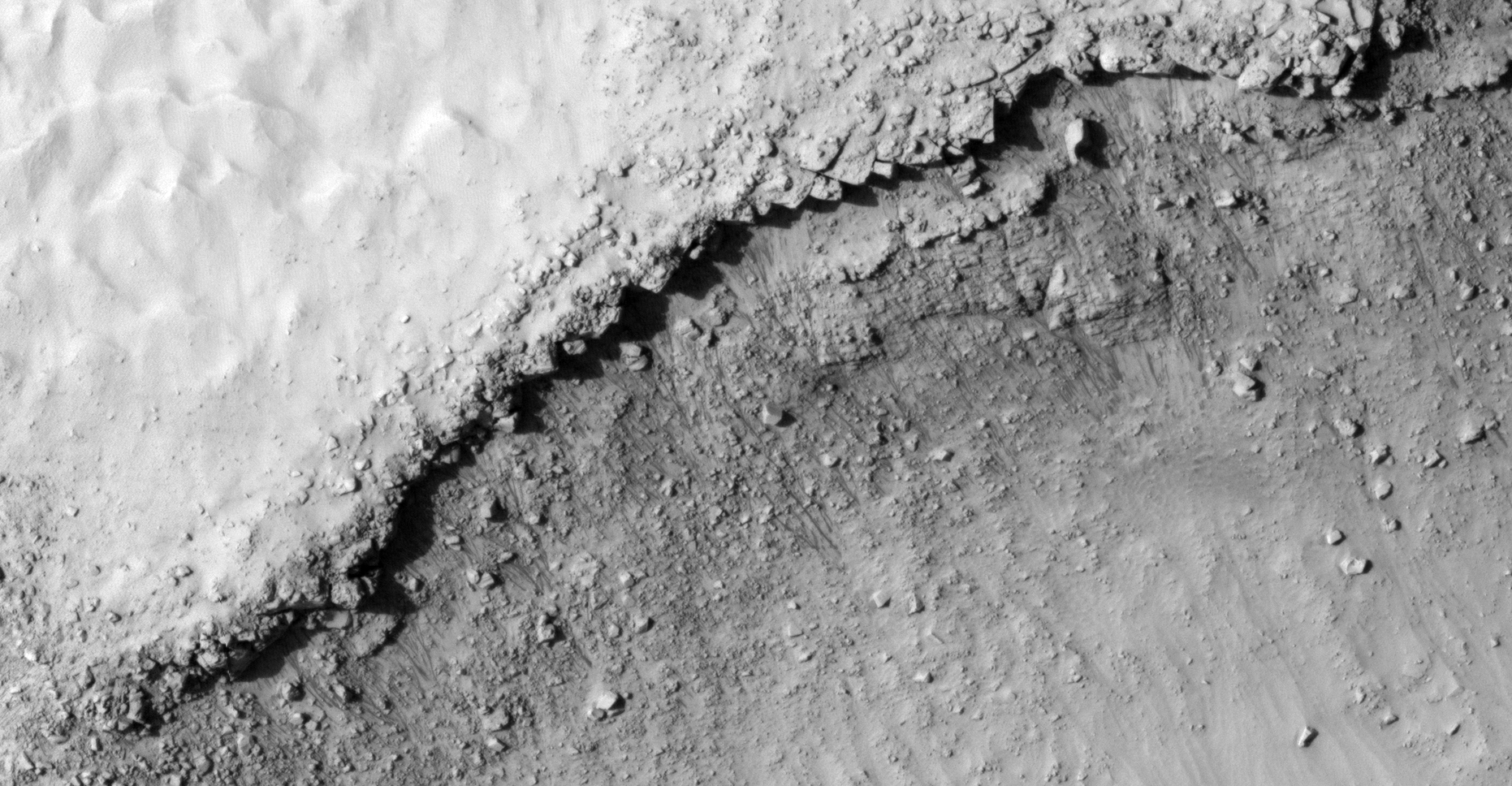
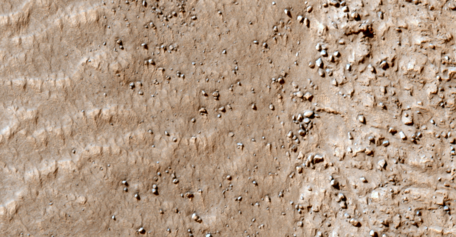
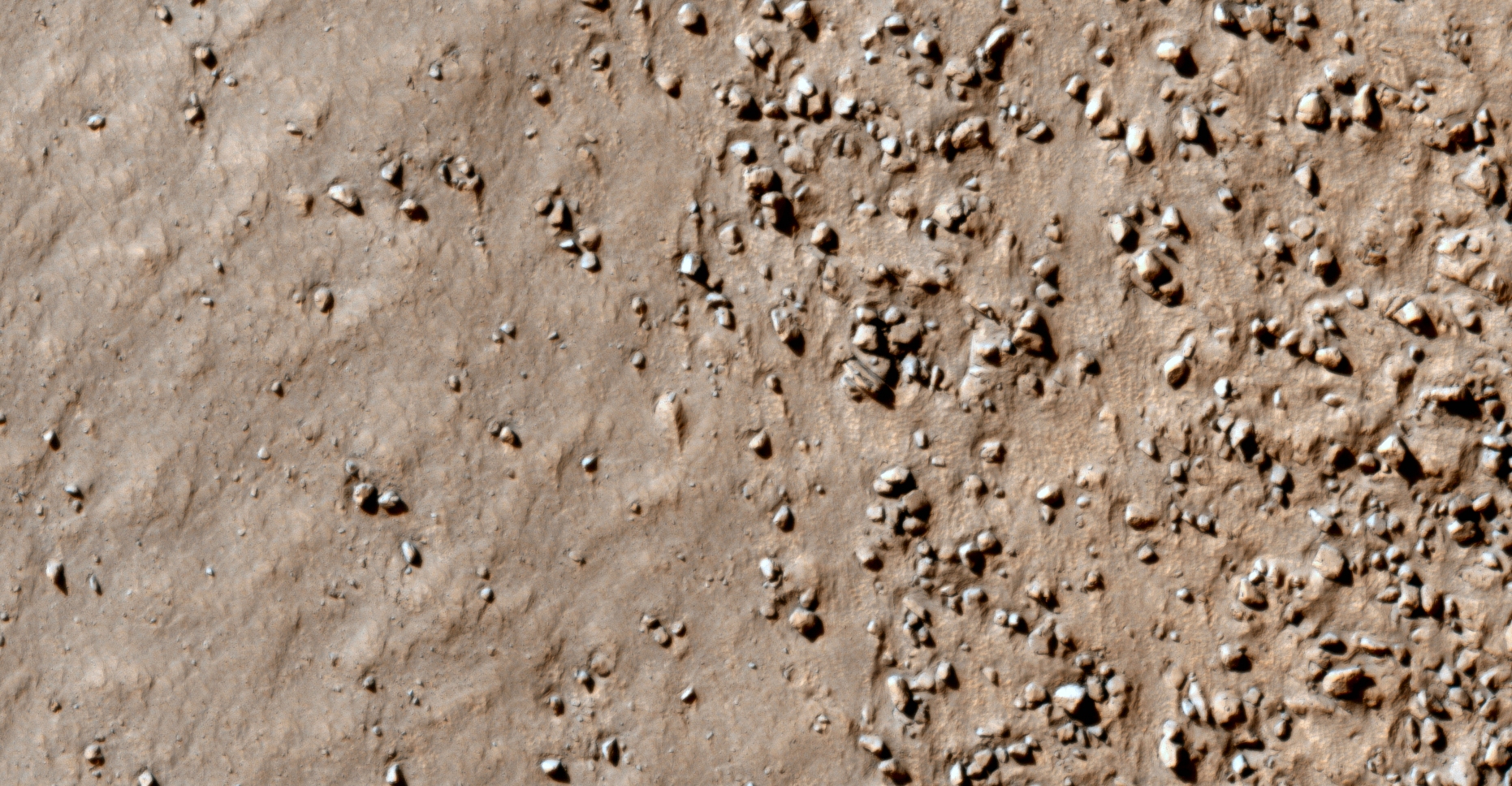
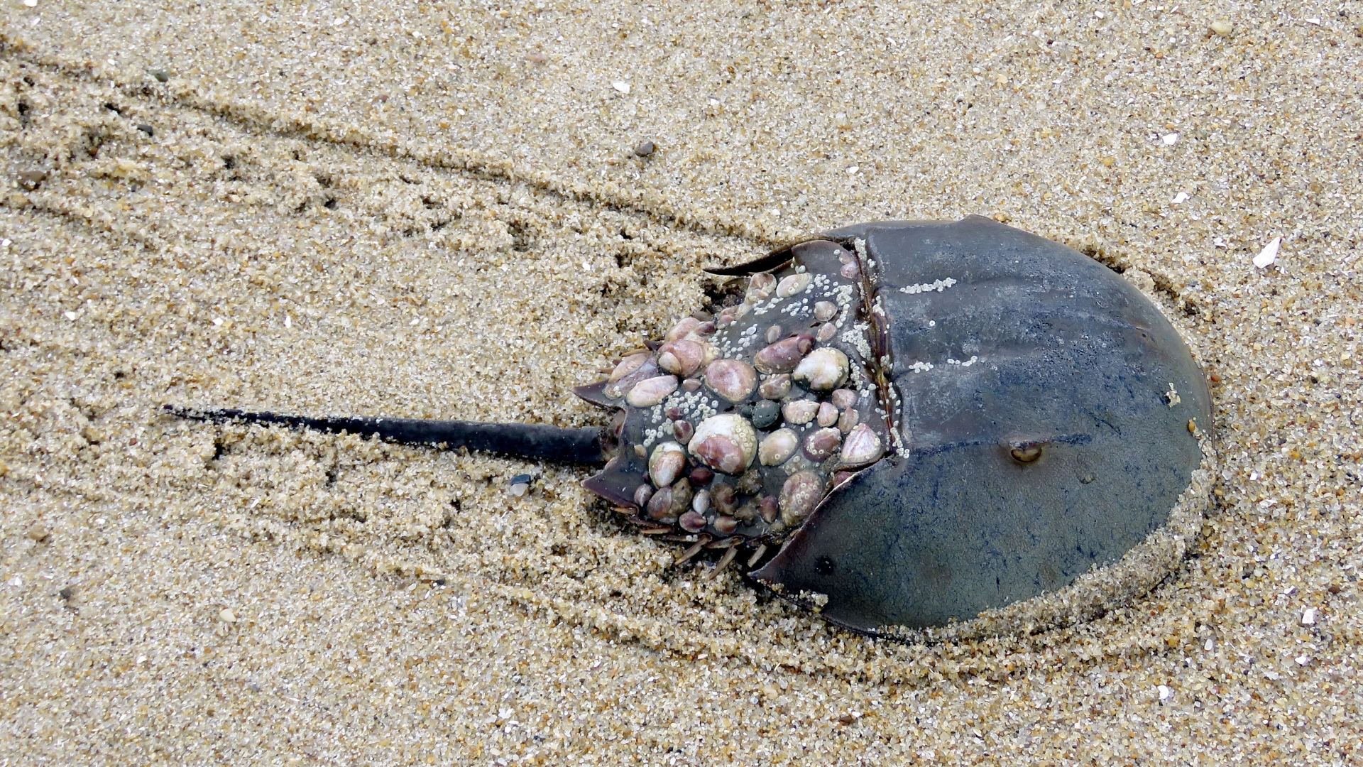
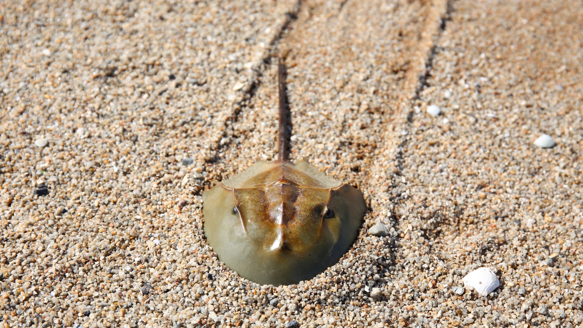
Photographs taken of Horseshoe Carbs on Earth
The following photographs show the track left by Horseshoe Crabs which are similar to those found on Mars, i.e. long straight paths, constant width, depth and small parallel ridges on either side of the tracks.
Horseshoe Crab (click for larger image)Horseshoe Crab (click for larger image)
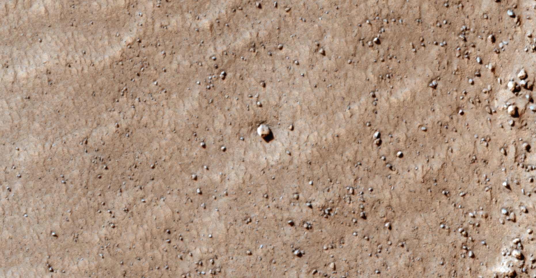
A HiRISE photograph taken of rolling bolder on Mars
Note the boulder track does not look at all like the tracks left by Horseshoe Crabs, i.e. random dot-dash line.
Rolling boulder on Mars (ESP_037190_1765) (click for larger image)
HiRISE photographs: Analysis
PSP_003663_1775 was taken by NASA’s Mars Reconnaissance Orbiter on 08 May 2007 and is described as ‘Flow Obstructions and Wakes Southeast of Elysium Planitia.’
An elevated view of this site being analyzed (click for larger image)An elevated view of this site being analyzed (click for larger image)A closer look at a path left by Horseshoe crab on Mars (click for larger image)A closer look at a path left by Horseshoe crab on Mars (click for larger image)Zoomed out view, not to scale (click for larger image)Zoomed out view, not to scale (click for larger image)Original image at 1:1 scale (click for larger image)Zoomed out view, not to scale (click for larger image)Zoomed out view, not to scale (click for larger image)Zoomed out view, not to scale (click for larger image)Original image at 1:1 scale (click for larger image)Zoomed out view, not to scale (click for larger image)Zoomed out view, not to scale (click for larger image)Original image at 1:1 scale (click for larger image)
PSP_007777_1790 was taken by NASA’s Mars Reconnaissance Orbiter on 24 March 2008 and is described as ‘Vent Belonging to the Cerberus Tholi.’
An elevated view of this site being analyzed (click for larger image)An elevated view of this site being analyzed (click for larger image)A closer look at a path left by Horseshoe crab on Mars (click for larger image)Zoomed out view, not to scale (click for larger image)Zoomed out view, not to scale (click for larger image)Original image at 1:1 scale (click for larger image)
Images saved from within HiView or CTX viewer do not include image scale indicators. The image scale indicators I include in images are based on the official resolutions provided by NASA and although I strive to be as accurate as possible there may be slight deviations from the actual scale. Image scale indicators are included as a size approximation tool only.
Geometry lines are mapped as accurately as possible using the limited information, data and mapping tools available at the time, therefore the lines may deviate from target sites by a few kilometres. Revisions may be made in the future as new, more precise information, data and mapping tools become available.
Many or all of the anomalies/artefacts covered in this presentation may be naturally occurring geological features caused by some type of geological processes, however due to the lack of specific information from the source we can only speculate whether these are all natural or some artificial in nature.
In cases where I say an anomaly looks like something I’m attempting to clarify what I see and not specifically that the anomaly is what I say it looks like.
My intention is only to share anomalies I’ve discovered on Mars and not to convince anyone that there is or was a civilization on Mars.
As Will Farrar from WhatsUpInTheSky says: “I see what I see, you see what you see.”
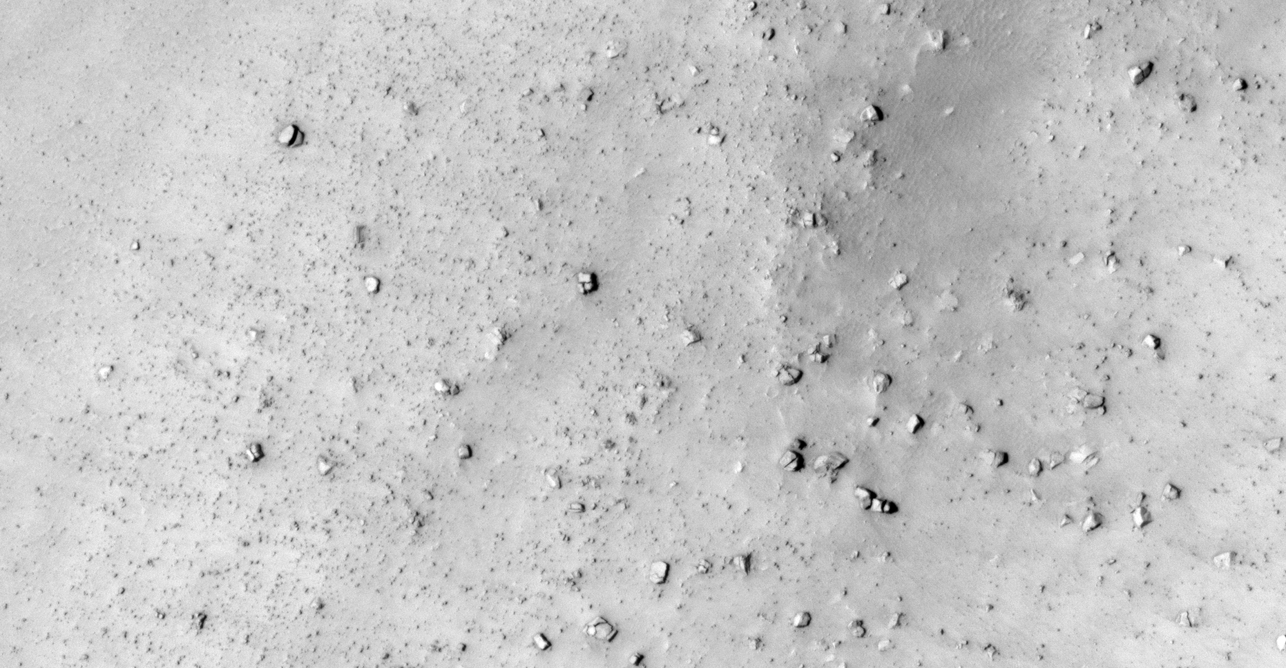
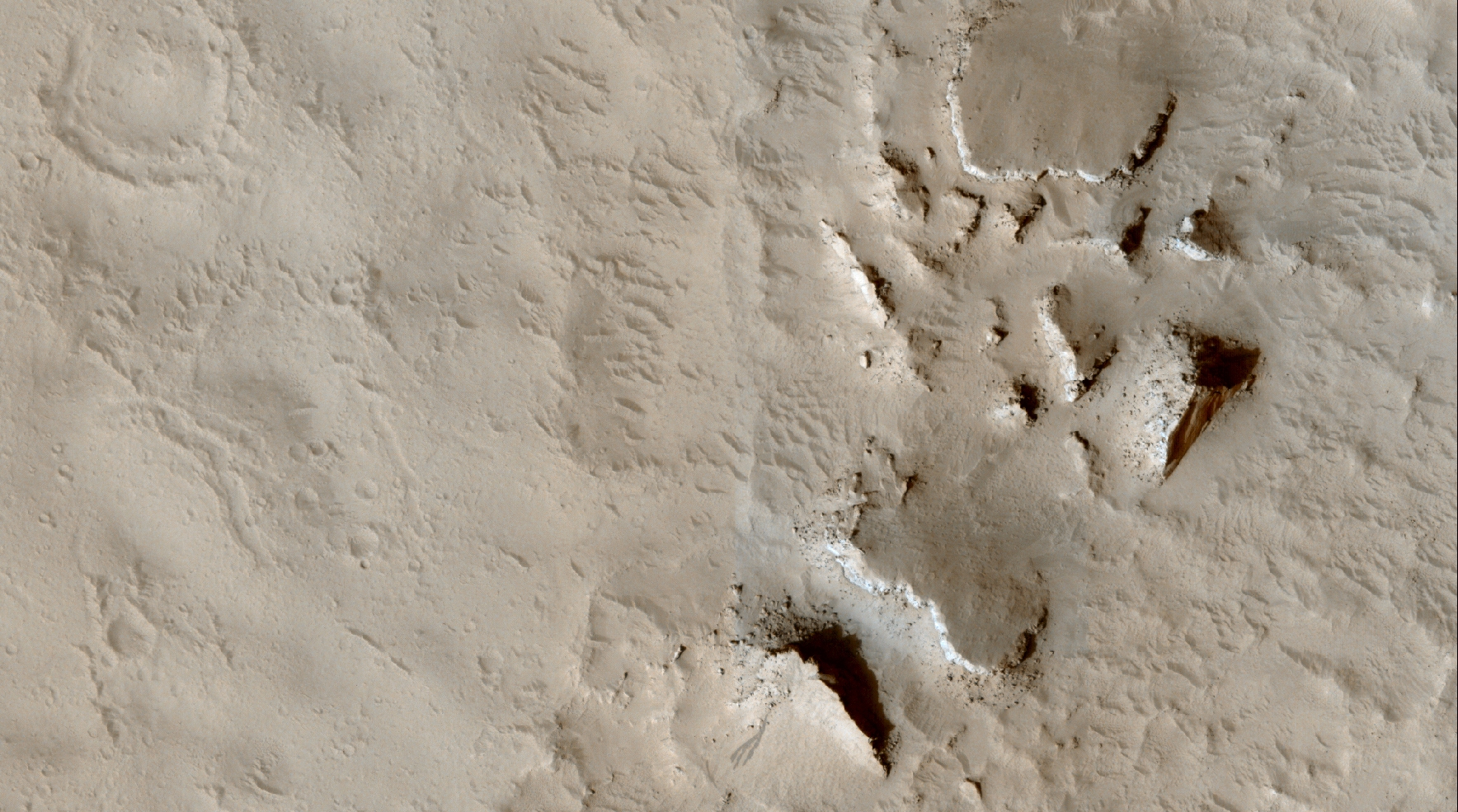
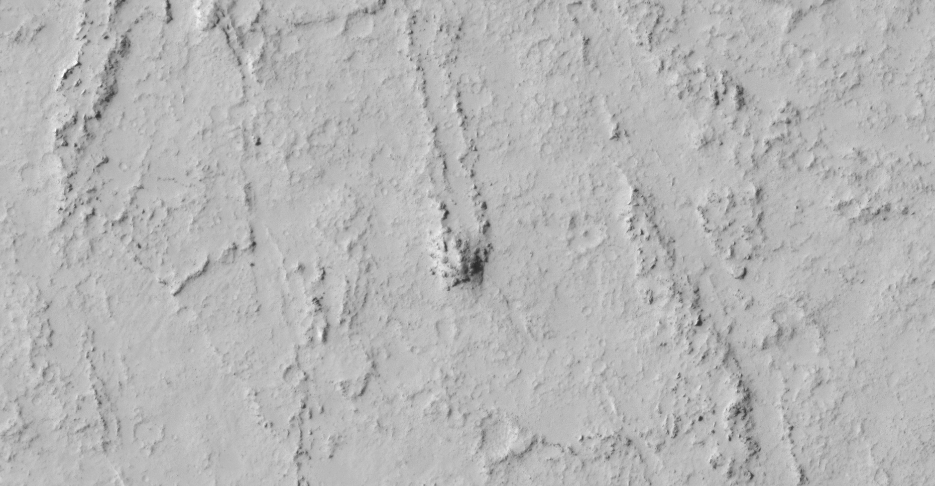
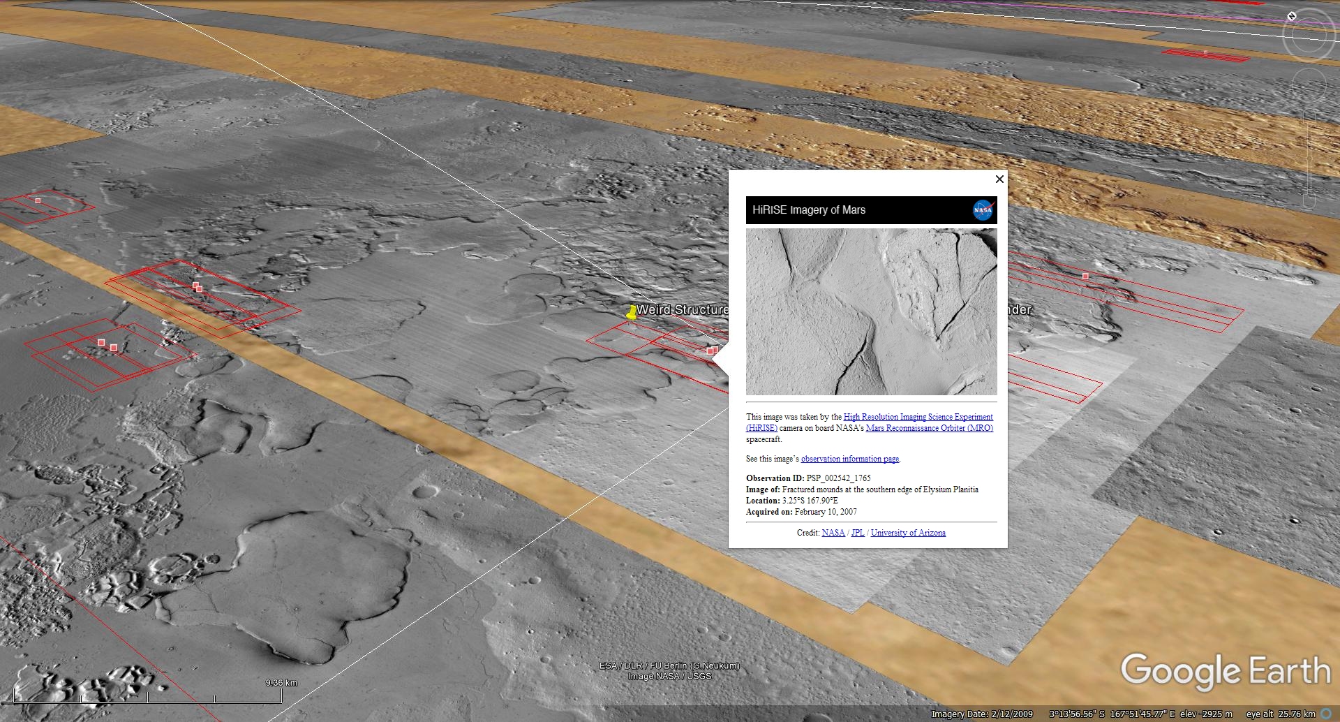
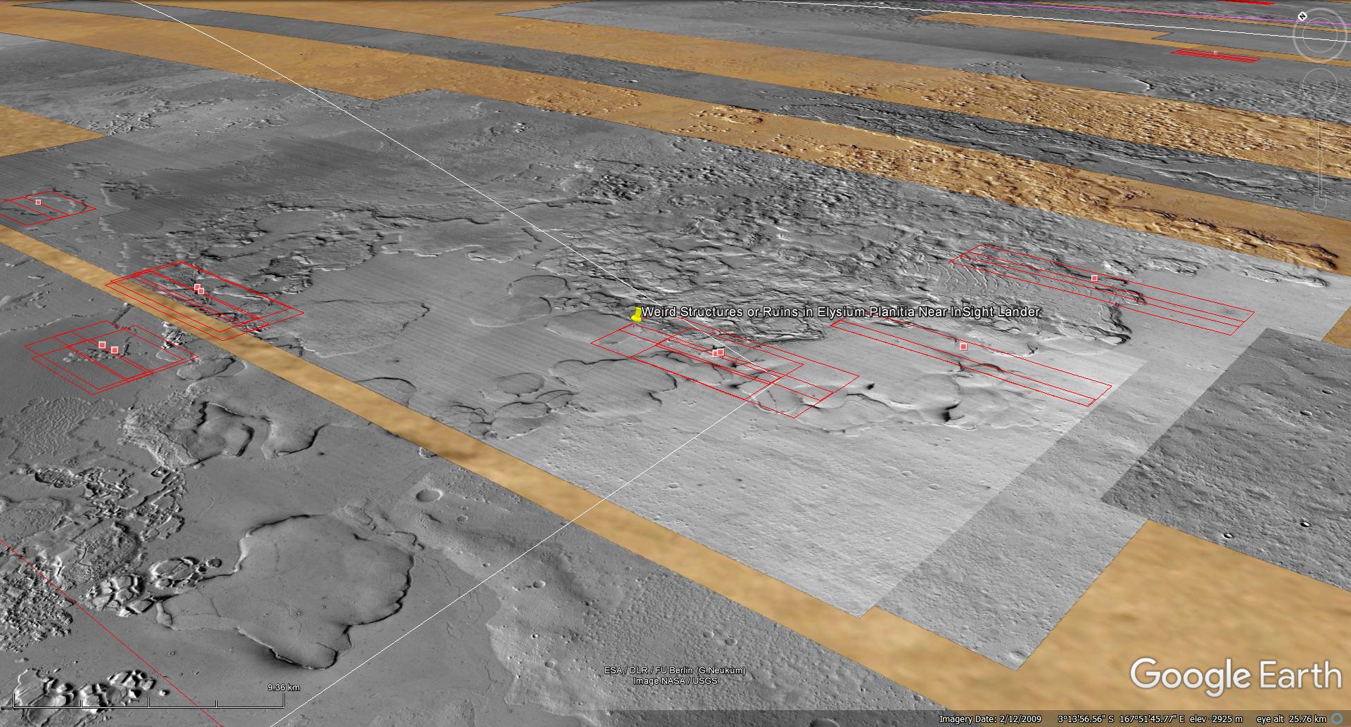
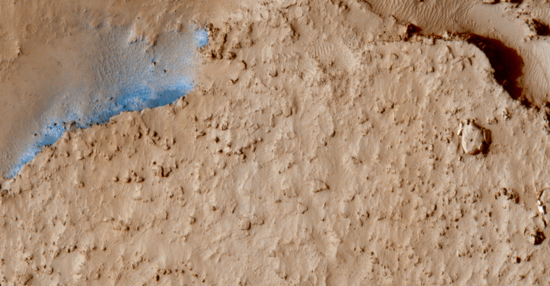
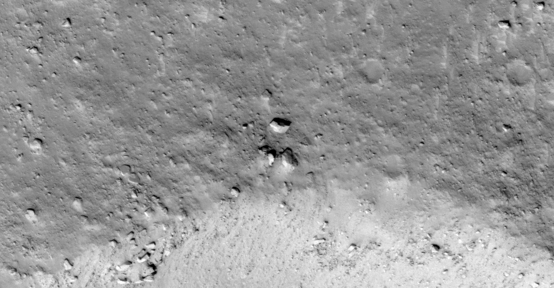
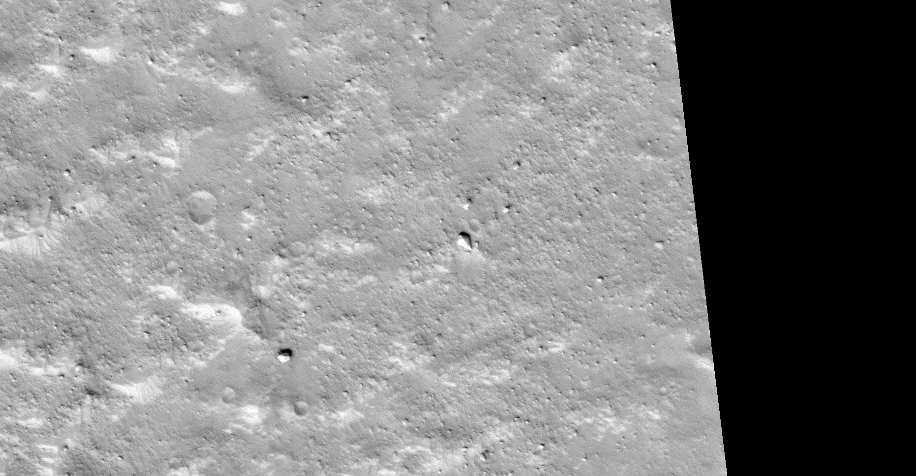
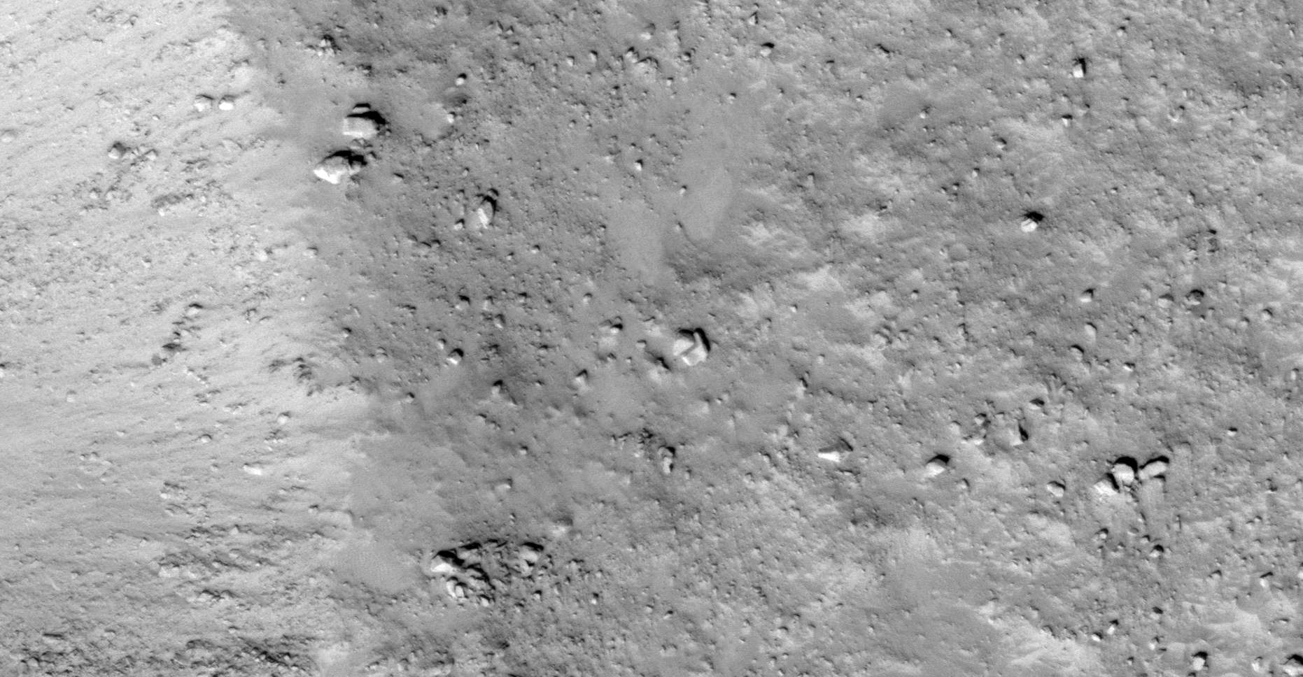
The photograph analyzed here (PSP_002542_1765) was taken by NASA’s Mars Reconnaissance Orbiter on 10 February 2007 and is described as ‘Fractured Mounds at the Southern Edge of Elysium Planitia.’
Additional megalithic blocks and slabs, a monolith and huge, weird convex-shaped structures that are in the shape of igloo’s (one appears to have a ventilation hole in the center and a small entrance-way on the side) all in the vicinity of InSight Lander and Curiosity Rover yet again.
Many of the blocks and artefacts appear, found on what look like remnants of islands, to have been shifted and covered in sand in a massive, devastating flood and/or other explosive catastrophe in the past.
It looks like there was water in this area in the past and there are what appear to be remnants of canals (NASA even uses a blue colour in the photograph – is that an indicator that there is water there?).
I speculate NASA is aware of these megalithic ruins as well as water or liquid seeping up through the Martian surface in Elysium Planitia and are trying to find out more.
An elevated view of this site being analyzed (click for larger image)An elevated view of this site being analyzed (click for larger image)
Colour images:
The following images were cropped from the RGB Colour Non-Map Projected JP2:
Original image at 1:1 scale (click for larger image)Original image at 1:1 scale (click for larger image)Original image at 1:1 scale (click for larger image)
Black and White images:
The following images were cropped from the Black and White Map Projected JP2 and show additional anomalies found in this HiRISE photograph:
Original image at 1:1 scale (click for larger image)Original image at 1:1 scale (click for larger image)Original image at 1:1 scale (click for larger image)Original image at 1:1 scale (click for larger image)
Images saved from within HiView or CTX viewer do not include image scale indicators. The image scale indicators I include in images are based on the official resolutions provided by NASA and although I strive to be as accurate as possible there may be slight deviations from the actual scale. Image scale indicators are included as a size approximation tool only.
Geometry lines are mapped as accurately as possible using the limited information, data and mapping tools available at the time, therefore the lines may deviate from target sites by a few kilometres. Revisions may be made in the future as new, more precise information, data and mapping tools become available.
Many or all of the anomalies/artefacts covered in this presentation may be naturally occurring geological features caused by some type of geological processes, however due to the lack of specific information from the source we can only speculate whether these are all natural or some artificial in nature.
In cases where I say an anomaly looks like something I’m attempting to clarify what I see and not specifically that the anomaly is what I say it looks like.
My intention is only to share anomalies I’ve discovered on Mars and not to convince anyone that there is or was a civilization on Mars.
As Will Farrar from WhatsUpInTheSky says: “I see what I see, you see what you see.”
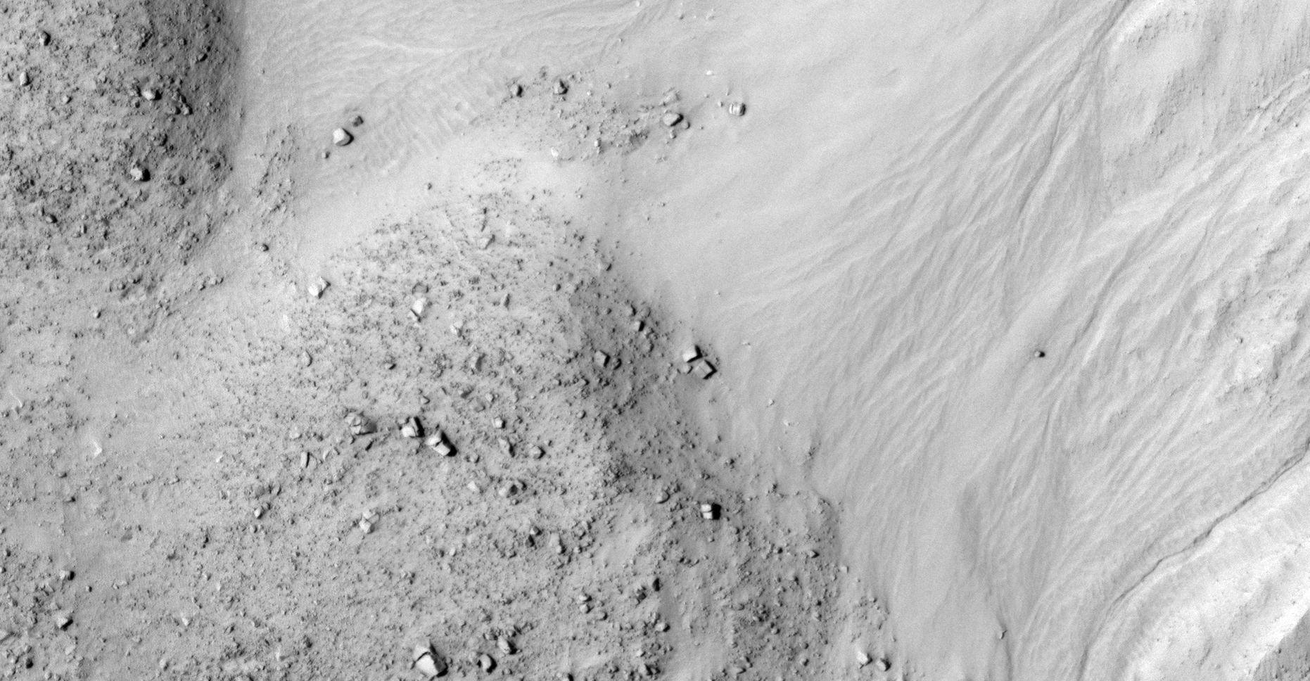
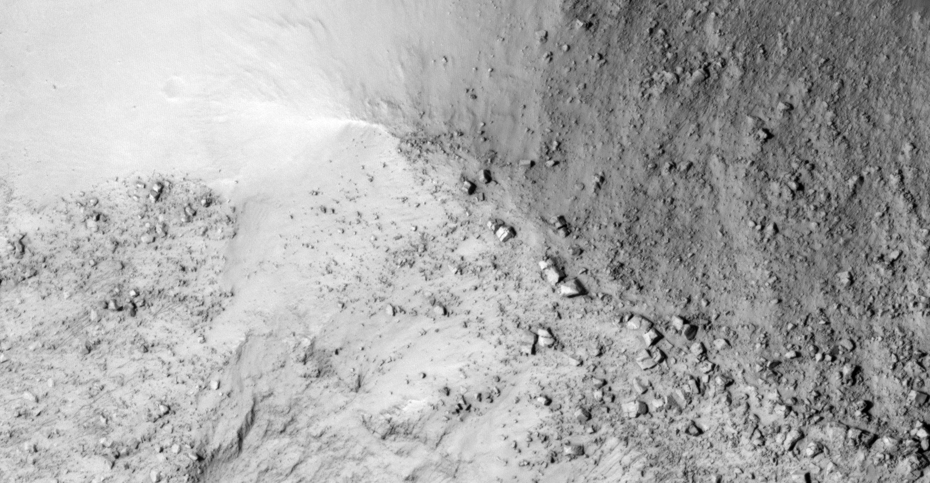
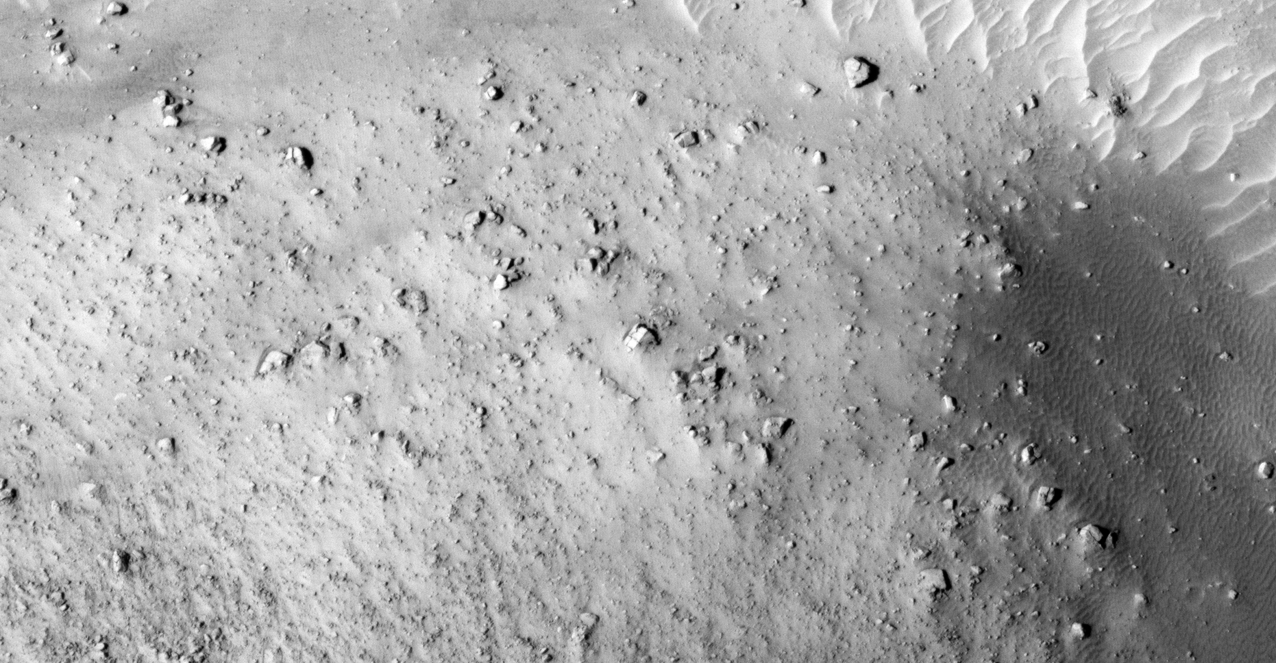
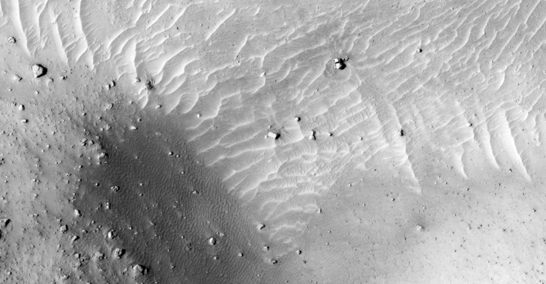
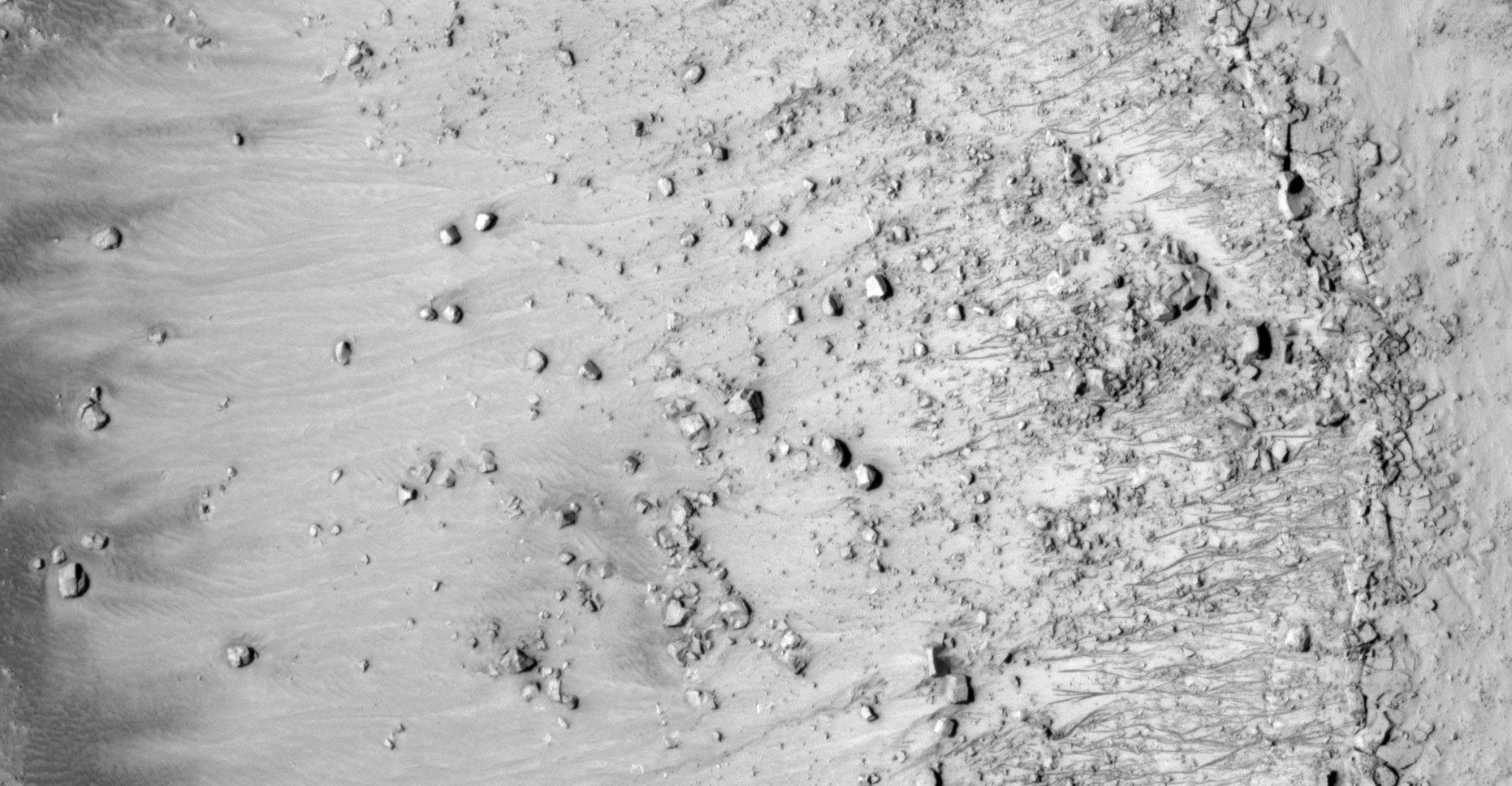
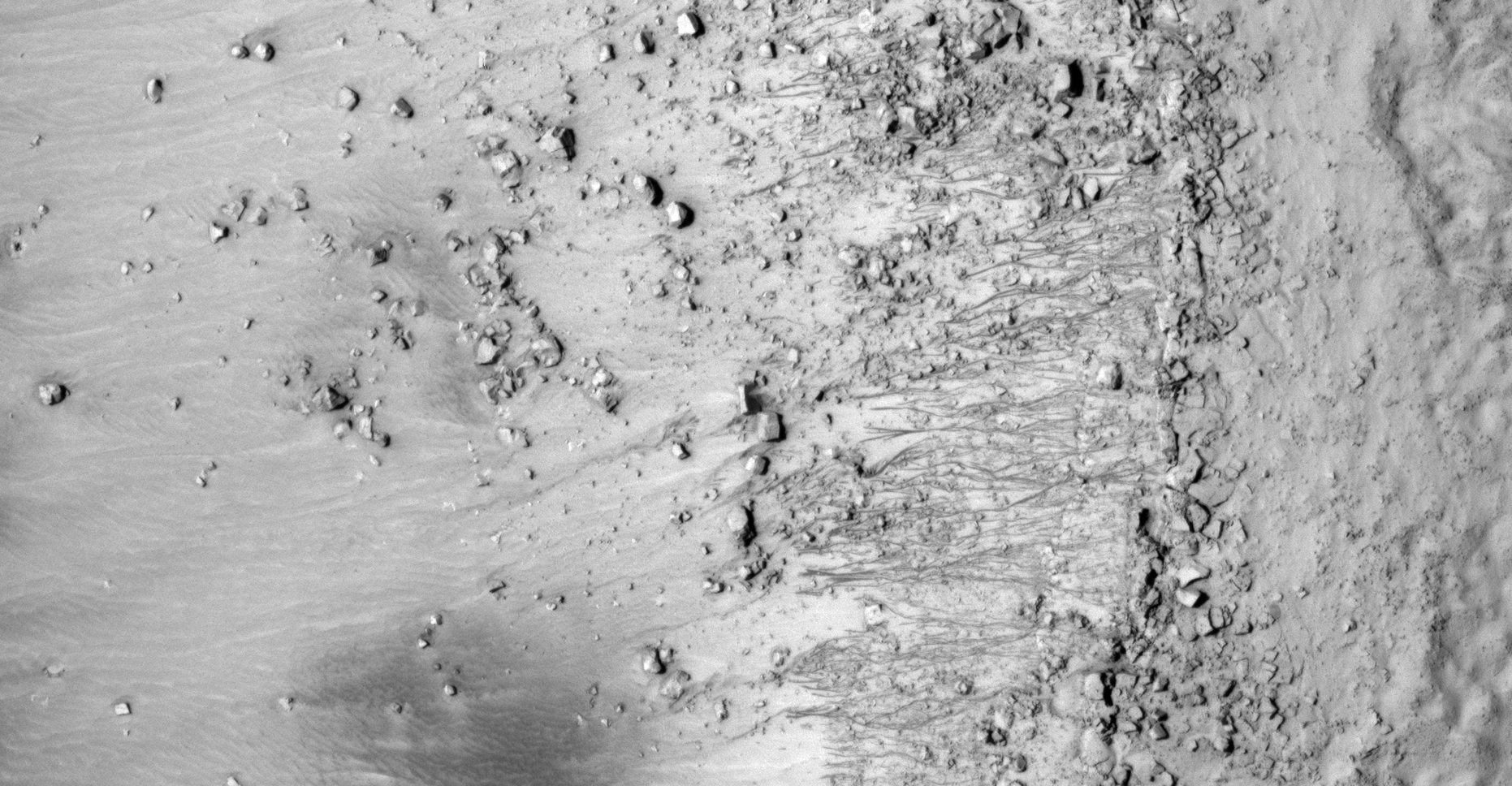
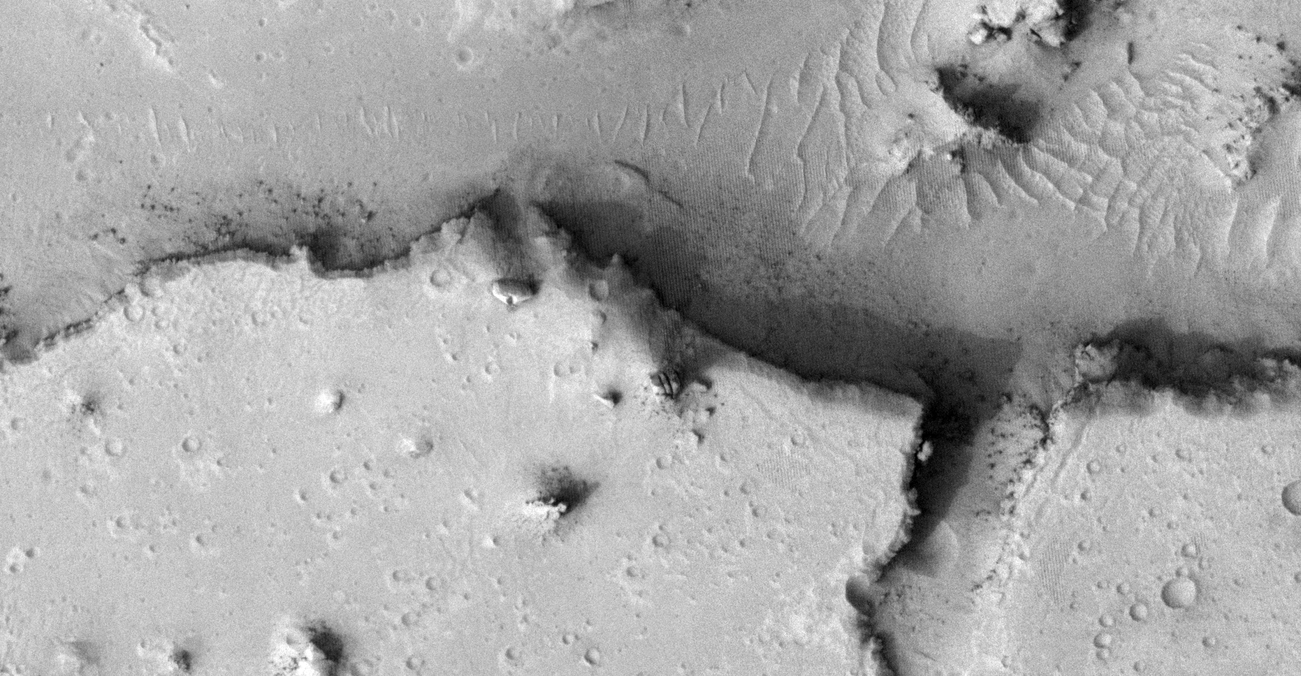
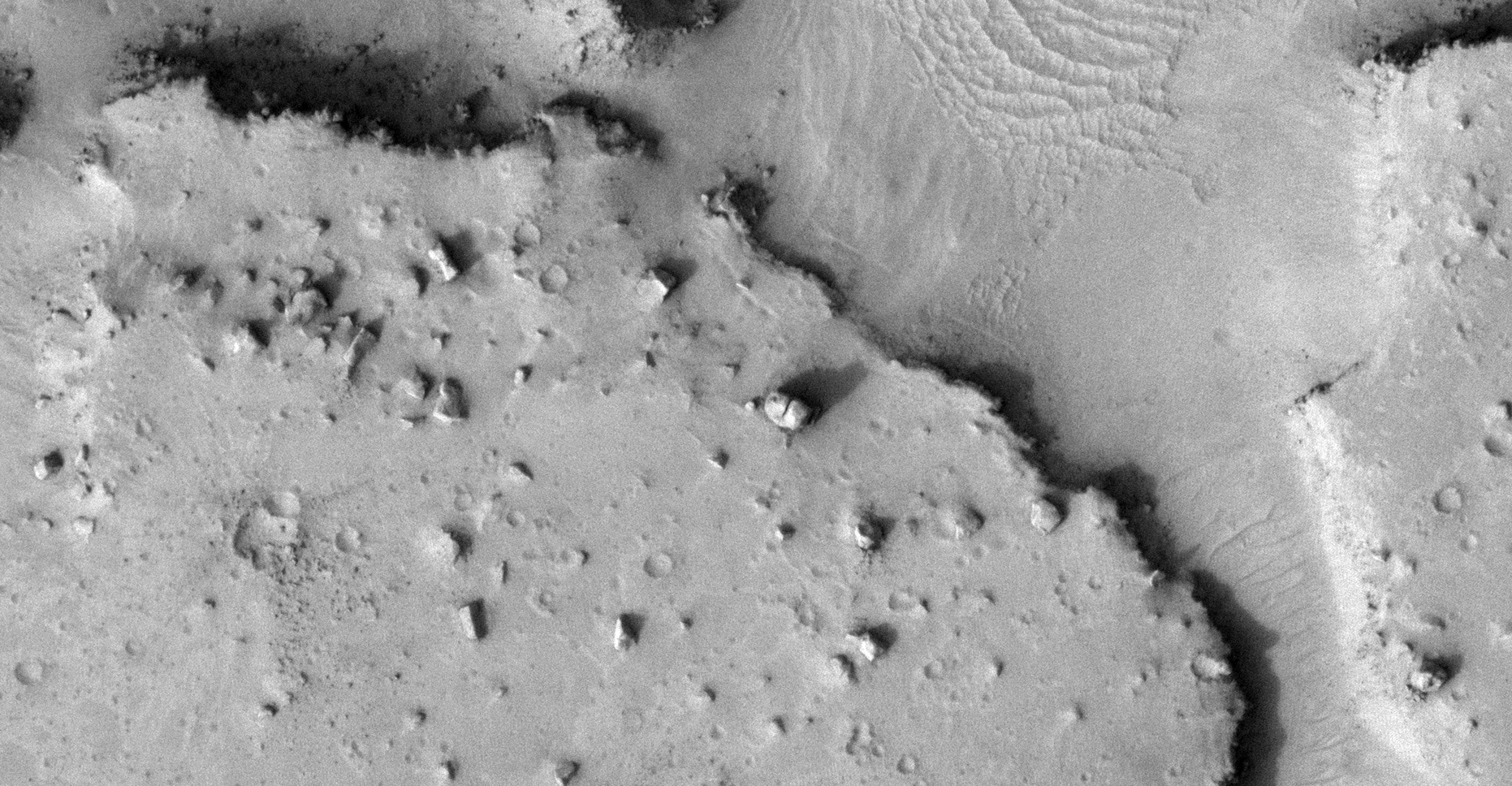
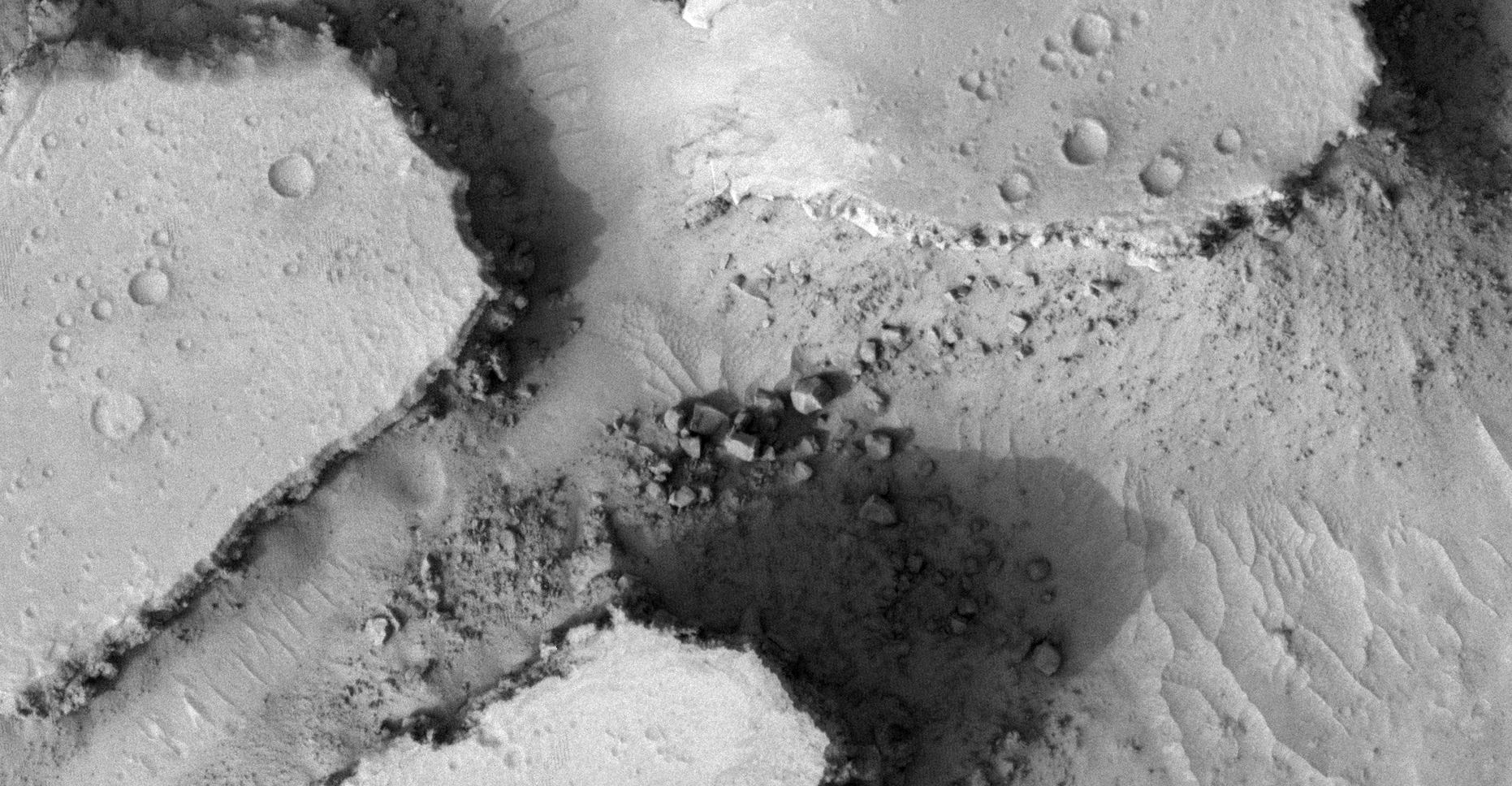
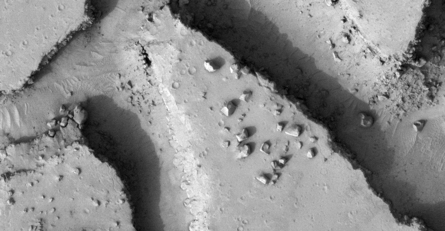
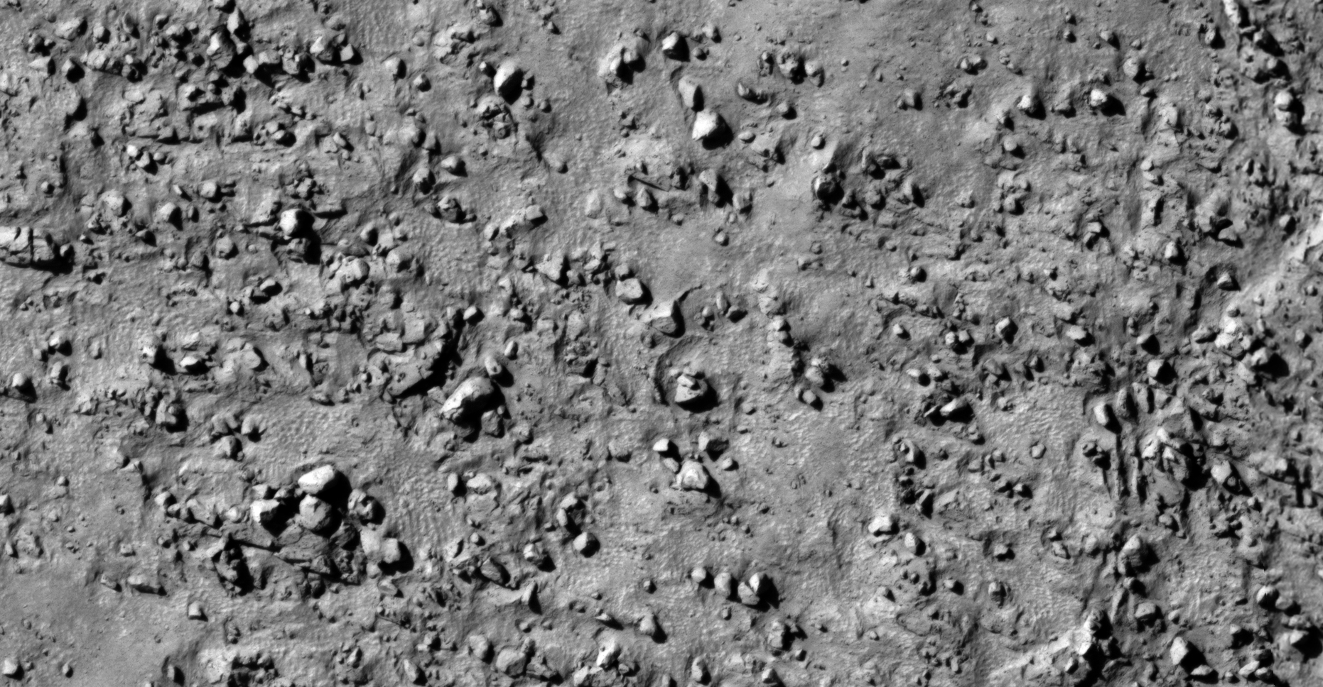
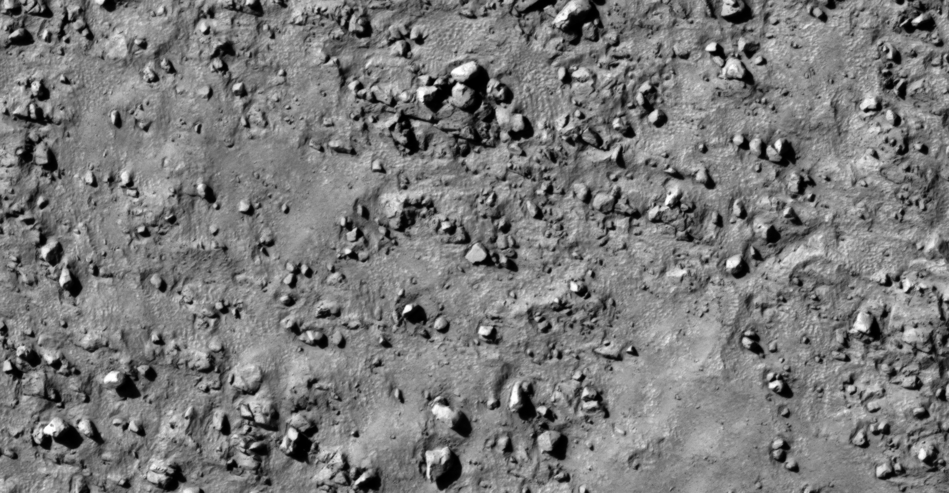
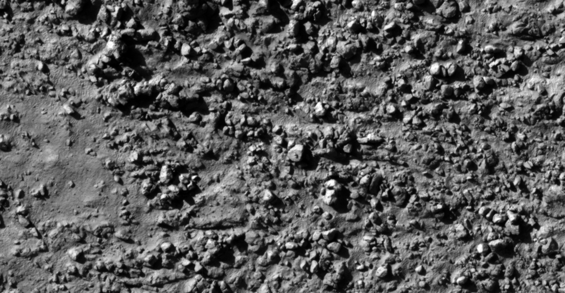
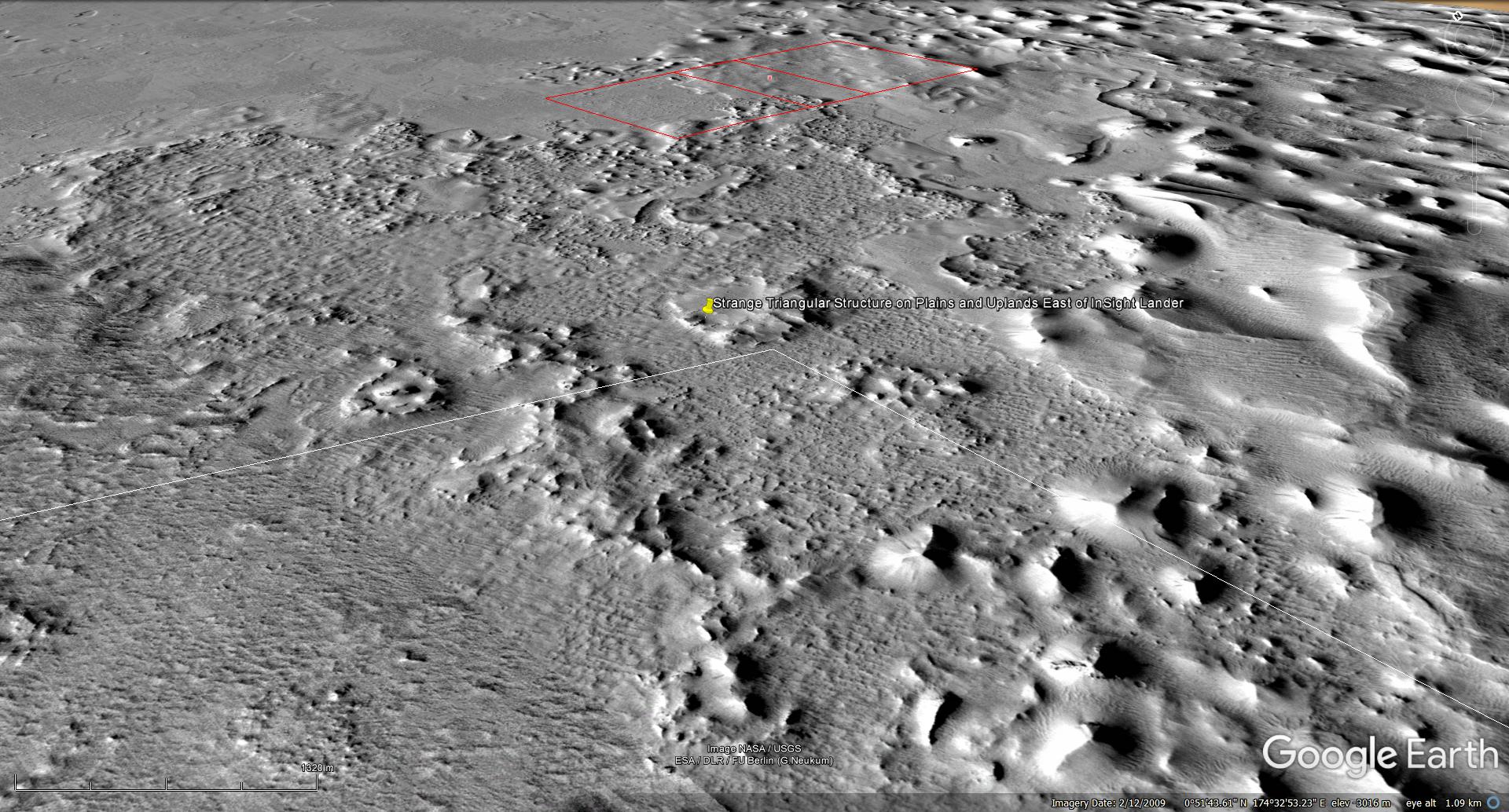
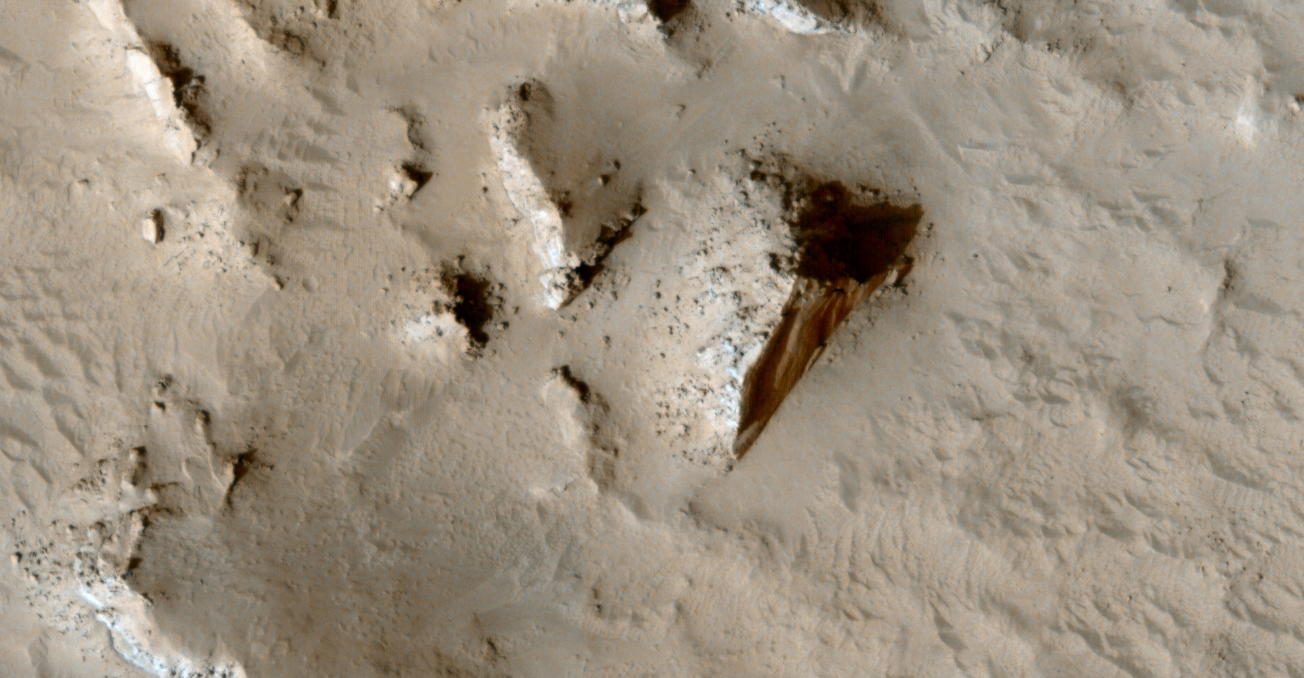
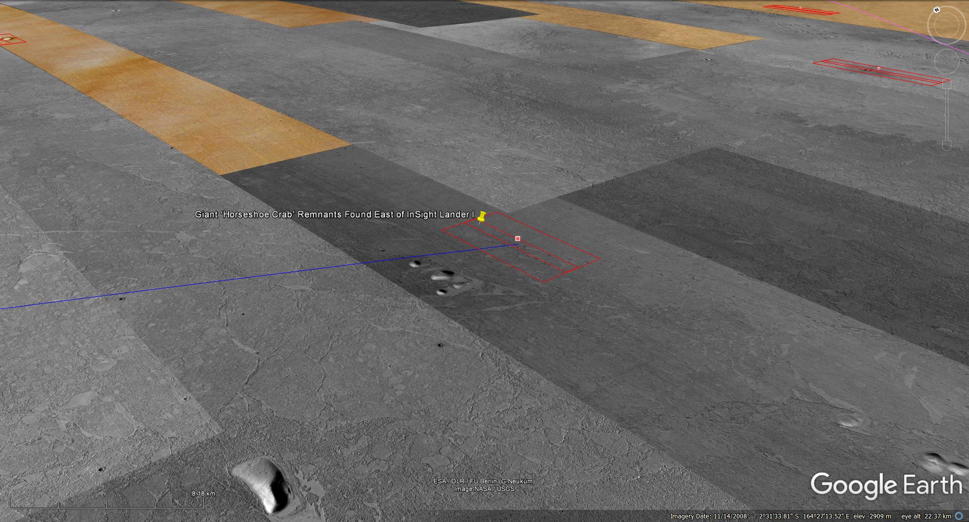
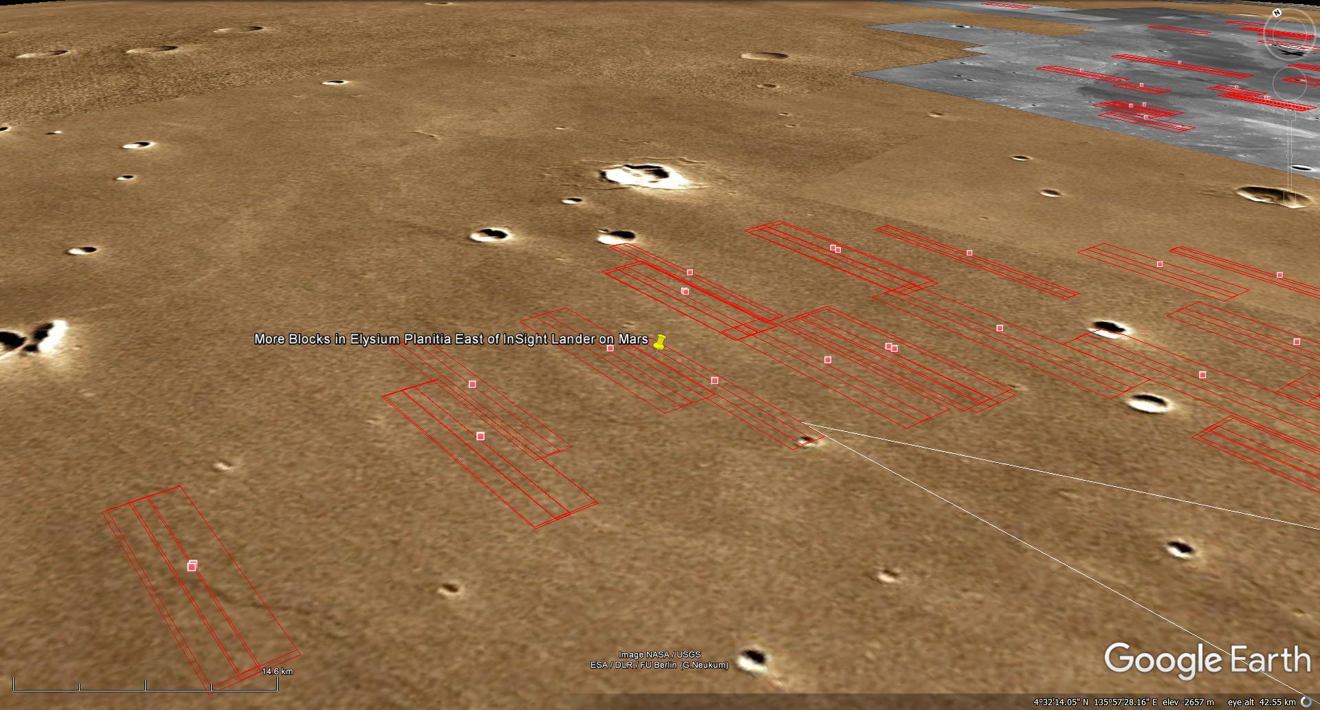
The photograph analyzed here (ESP_057860_1845) was taken by NASA’s Mars Reconnaissance Orbiter on 29 November 2018 and is described as ‘Elysium Planitia East of InSight Lander.’
Yet further evidence of megalithic blocks in the vicinity of InSight Lander and Curiosity Rover.
I speculate NASA is aware of these megalithic ruins as well as water or liquid seeping up through the Martian surface and are trying to find out more.
An elevated view of this site being analyzed (click for larger image)Original image at 1:1 scale (click for larger image)Original image at 1:1 scale (click for larger image)Original image at 1:1 scale (click for larger image)Original image at 1:1 scale (click for larger image)Original image at 1:1 scale (click for larger image)Original image at 1:1 scale (click for larger image)
Images saved from within HiView or CTX viewer do not include image scale indicators. The image scale indicators I include in images are based on the official resolutions provided by NASA and although I strive to be as accurate as possible there may be slight deviations from the actual scale. Image scale indicators are included as a size approximation tool only.
Geometry lines are mapped as accurately as possible using the limited information, data and mapping tools available at the time, therefore the lines may deviate from target sites by a few kilometres. Revisions may be made in the future as new, more precise information, data and mapping tools become available.
Many or all of the anomalies/artefacts covered in this presentation may be naturally occurring geological features caused by some type of geological processes, however due to the lack of specific information from the source we can only speculate whether these are all natural or some artificial in nature.
In cases where I say an anomaly looks like something I’m attempting to clarify what I see and not specifically that the anomaly is what I say it looks like.
My intention is only to share anomalies I’ve discovered on Mars and not to convince anyone that there is or was a civilization on Mars.
As Will Farrar from WhatsUpInTheSky says: “I see what I see, you see what you see.”