

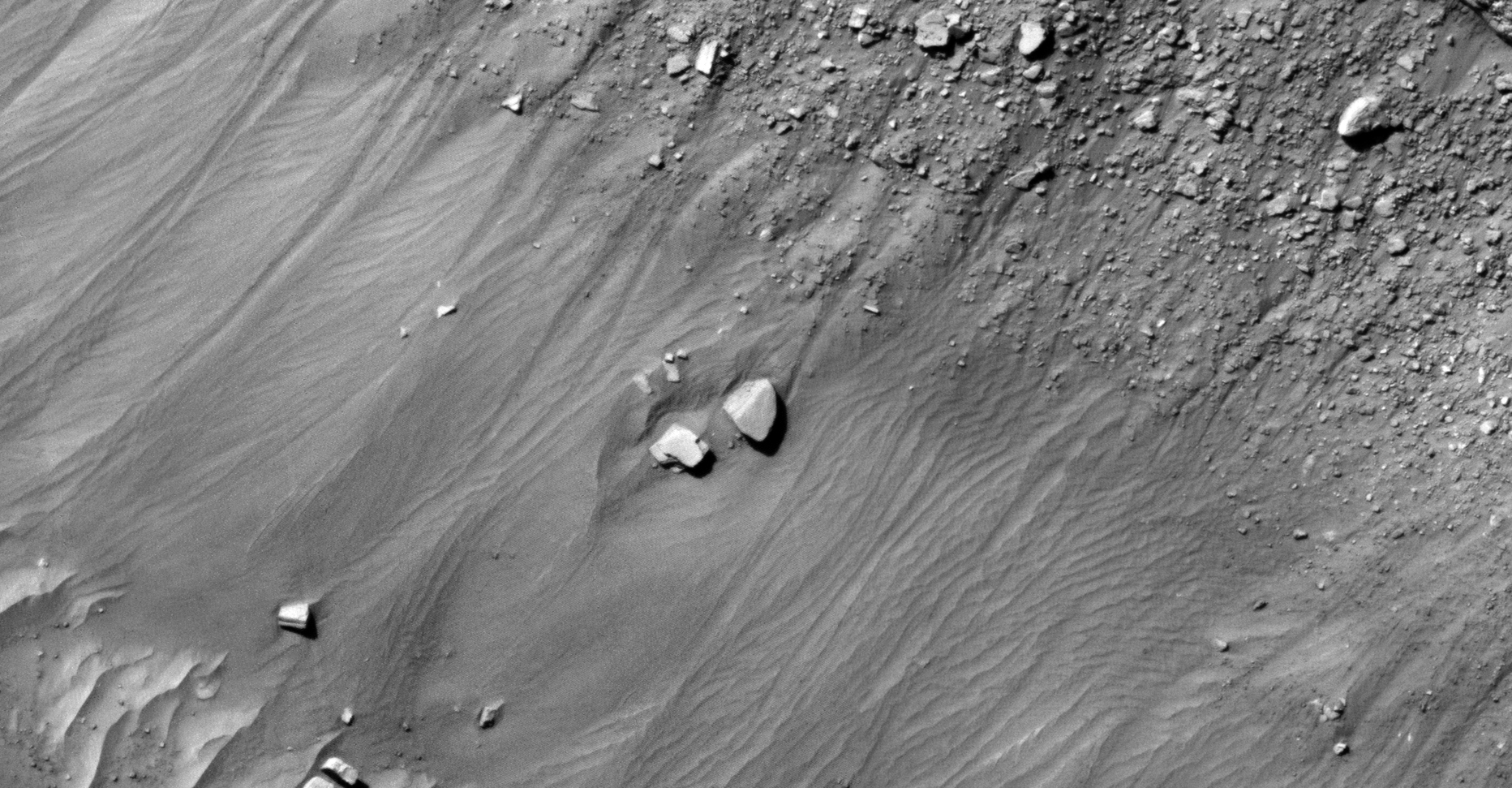
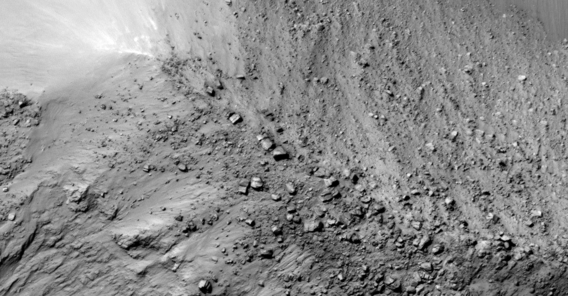
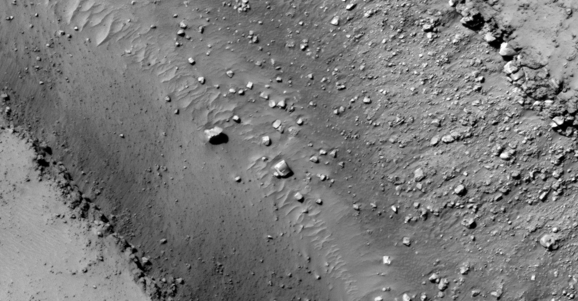
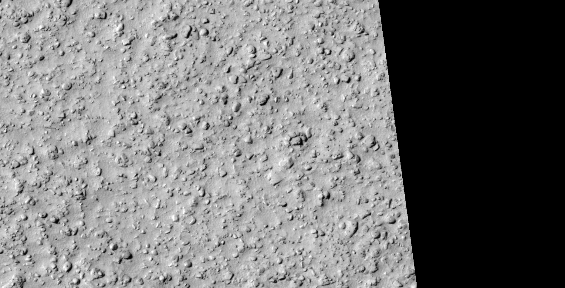
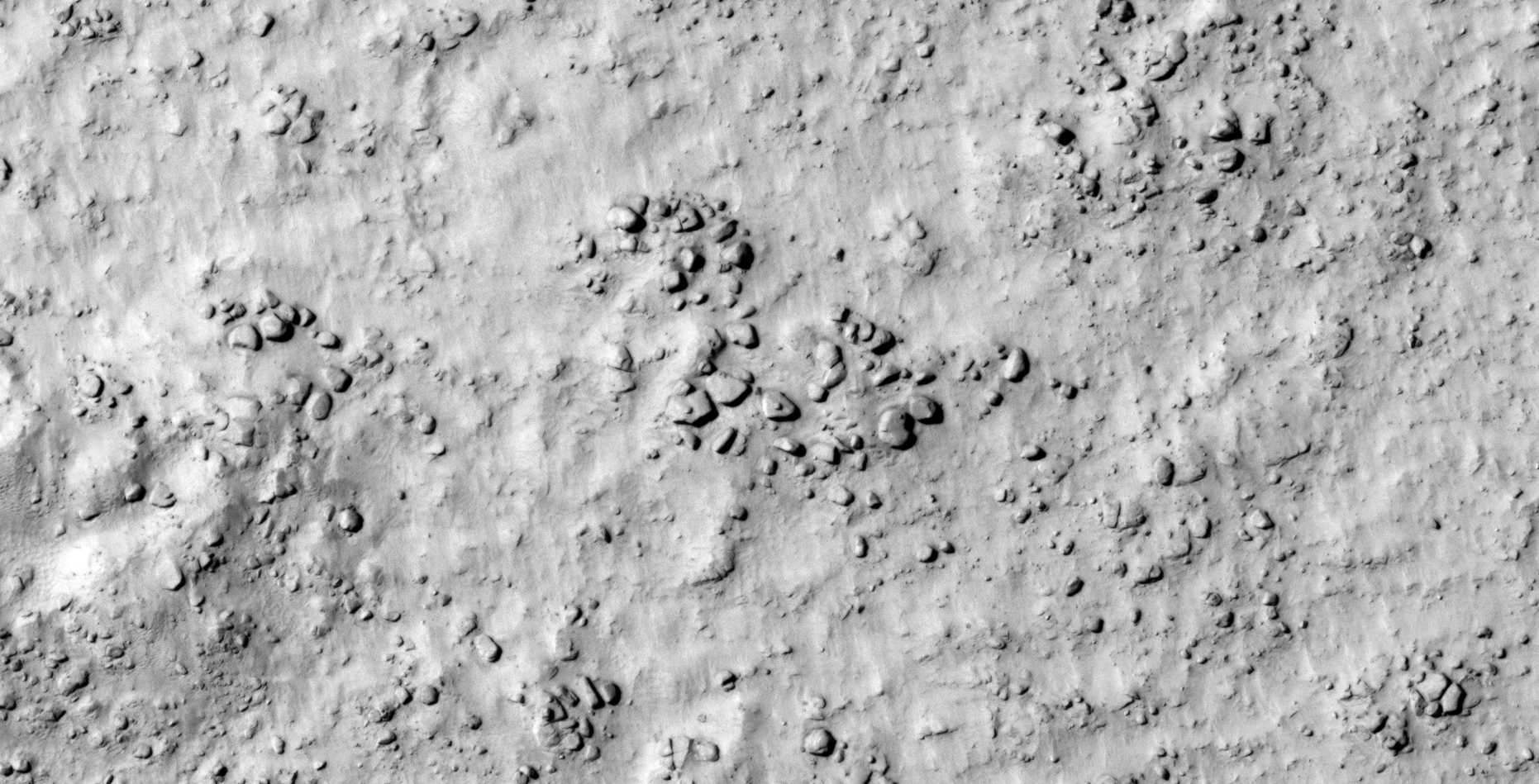
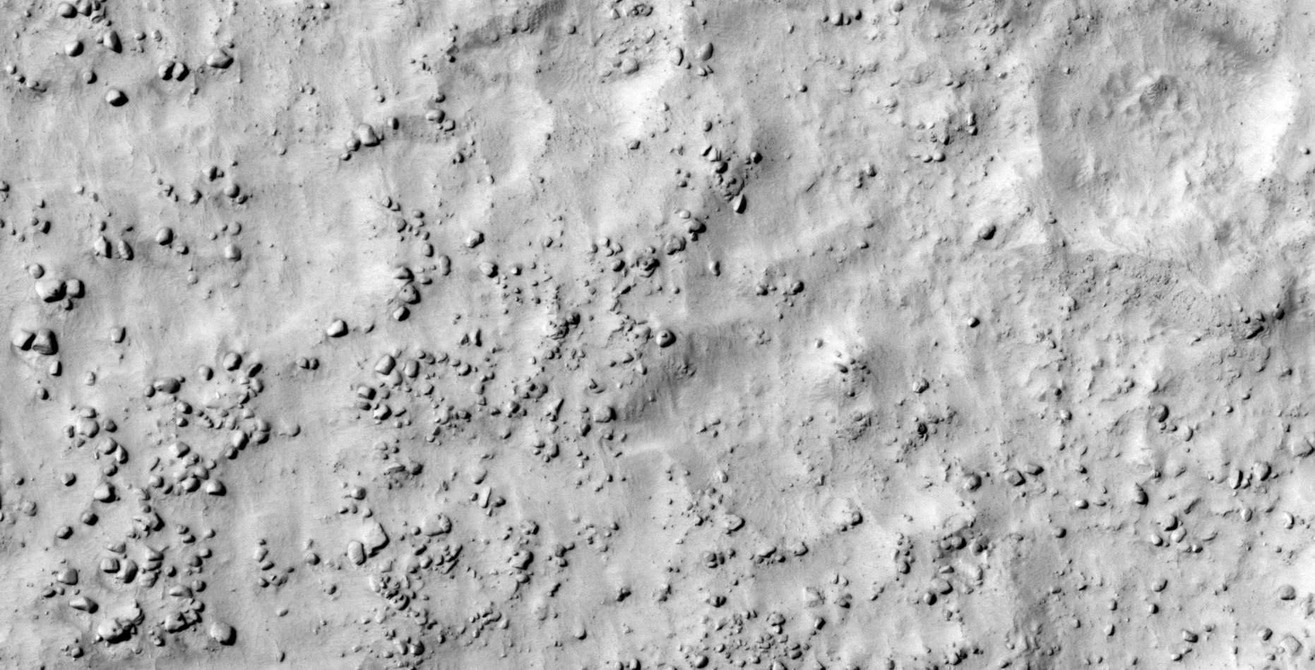
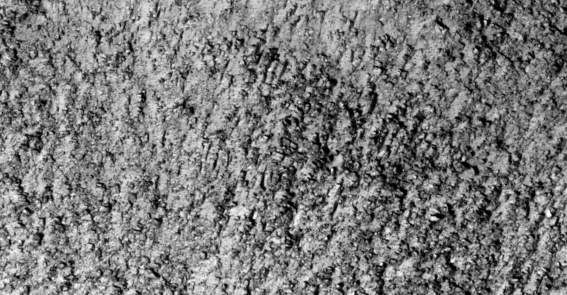
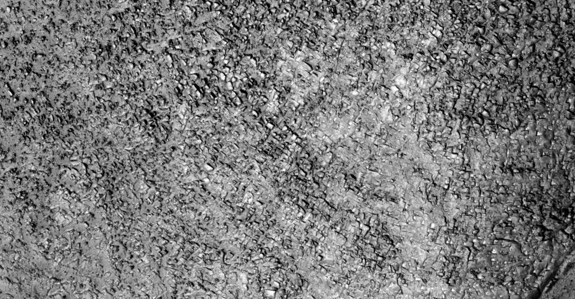
I have been researching anomalies on Mars for several months now and have discovered vast terrains on Mars littered with what look like ancient megalithic blocks with small features or knobs and holes as well and ruins. Due to the vast number I found I thought it prudent to present my findings and compelling evidence in Part 2 of this Special Edition Series here and on YouTube.
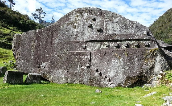
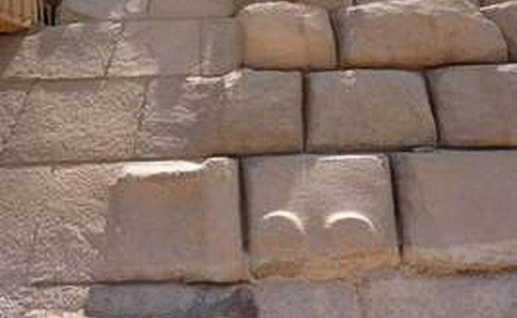
Close examination of the megalithic blocks on Mars show that some have small features or knobs and others similar sized holes, not unlike those found on Earth.
Researchers studying ancient ruins on Earth are perplexed about the presence of the knobs found on most megaliths making up these ancient structures.
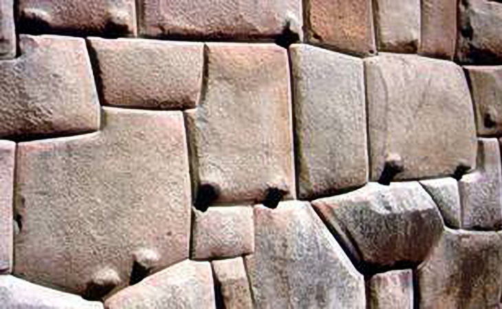

What researchers say about the megaliths with knobs found on Earth:
- Some speculate that these knobs indicate some type of concrete moulding process was used, the knob being the point at which concrete was poured into a mould;
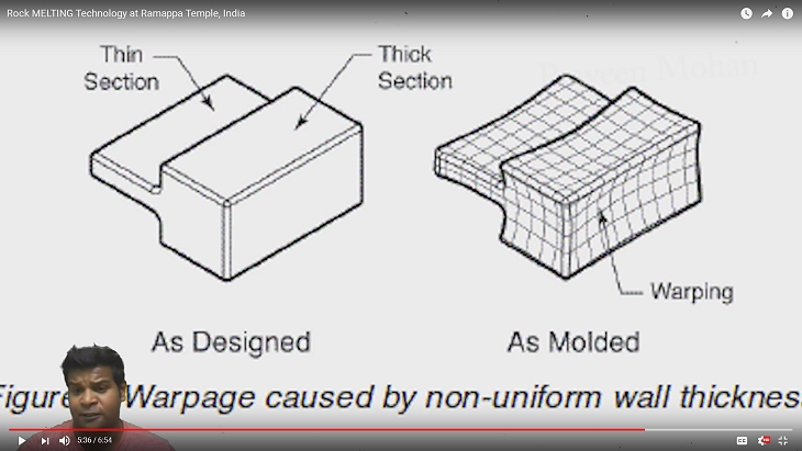
- Others speculate that these are points where the rock was melted or softened using some type of technology to assist in softening the stone in the building process;
- Others that these are the points at which the megaliths were broken off from the larger stone out of which they were formed; while
- Others speculate these knobs may be handles of some sort to which ropes where attached to assist in pulling the blocks into place; while
- While others speculate these were used to align joins.
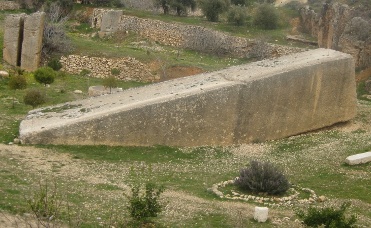
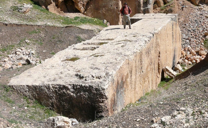
The Megaliths on Mars, many of which have virtually the same proportions and size as their counterparts of Earth, have small features or knobs and holes mostly located in their centers. Some megaliths of Mars show the same signs of warping (concave surfaces) as those on Earth.
Whatever the reason for the small features or knobs and holes, finding a vast number of these strange megalithic blocks on Mars is highly unusual. Normal boulders and rocks do not have small, uniformly spaced, centered, mostly same sized features or knobs and holes on them which is why I speculate that these have been manufactured, perhaps by our ancient ancestors.
Other megaliths without knobs found on Earth:
Some megalithic blocks on Mars and Earth do not have these knobs. This type of megalith on Mars is just as huge and sometimes larger than similar megaliths found on Earth:
So why do the megaliths on Mars have small features or knobs and holes?
Here are a few theories some of my channel viewers and I are putting forward:
- Perhaps they are artefacts caused by the manufacturing process, e.g. moulding;
- Perhaps the knobs are points to which hoisting equipment is attached to aid in the construction of strucutres;
- Could the megaliths with knobs fit into those with holes, i.e. like Lego pieces?
- Maybe they are symbolic in nature, perhaps they have cultural/spiritual significance;
- Perhaps they are symbols of defiance placed their by survivors of a catastrophic global war;
- Might it be that the survivors are displaying these objects in patterns to get attention;
- Possible fossilized remains of some type of life-forms that need ‘personal/growing space,’ hence the regular spacing between objects;
- Perhaps these objects link sites together using some type of technology we have not yet discovered;
- Could it be that the dark spot found in the centers of some objects are cones facing inward in what may be some type of water condensation processing plants?
- Or are these objects used to generate electricity through some type of technology.
Geometry and dimensions of the megaliths on Mars:
Like those found on Earth, the general geometry of these megaliths on Mars range between chevron-shaped, plectrum-shaped, circular, semi-circular, rhombic, hexagonal, square and rectangular and range in size.
In general most measure a minimum of about 8 metres wide and a minimum of about 8 metres long. As the photographs taken by the orbiters is top-down it is difficult to estimate the depth, unless a megalith is lying on one of its sides. Some megaliths on Mars are much bigger than those found on Earth.
Furthermore the megaliths have mostly flat, smooth surfaces, well defined straight edges and 90 degree/right-angle corners.
Small features, knobs or holes are mostly located in the center of the megaliths, which is highly unnatural.
I speculate this geometry indicates intelligent design, furthermore that the same technique used to design and manufacture these megaliths on Earth was also used on Mars.
Where are these strange ancient megaliths and ruins located on Mars?
The vast majority of sites at which I discovered these peculiar megaliths with holes/knobs are in two latitude bands, one band in the Northern hemisphere and the other band in the Southern hemisphere, however a few other sites also featured here fall outside these bands.
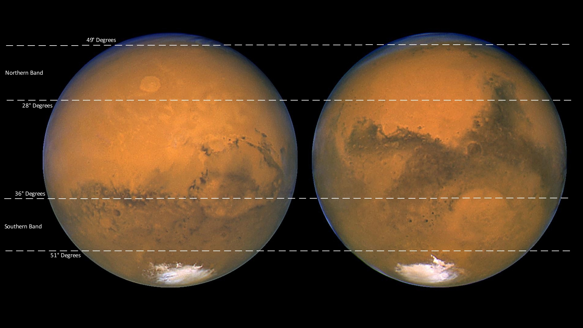
The Northern hemisphere band ranges between latitudes 28 degrees North and 49 degrees North – in this band I discovered 6 sites with these peculiar megaliths – the distance between the 1st site and the last site is about 5300 km with varying distances between the remaining sites.
The Southern hemisphere band ranges between latitudes 51 degrees South and 36 degrees South – in this band I discovered 11 sites right around the planet, with these peculiar megaliths – the distance between these sites vary, for example 2800 km, 330 km, 1800 km 630 km and so on.
Examples of ancient megaliths and ruins on Mars:
Following are cases/sites of interest and a few prime examples from each case/site:
All of the sites examined here appear to have been devastated by some catastrophic event is the past. Many megaliths are scattered about and some show sign of erosion or damage. The structures or ruins are totally destroyed and in most cases only foundations are visible.
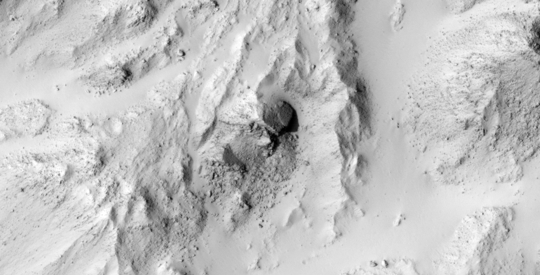
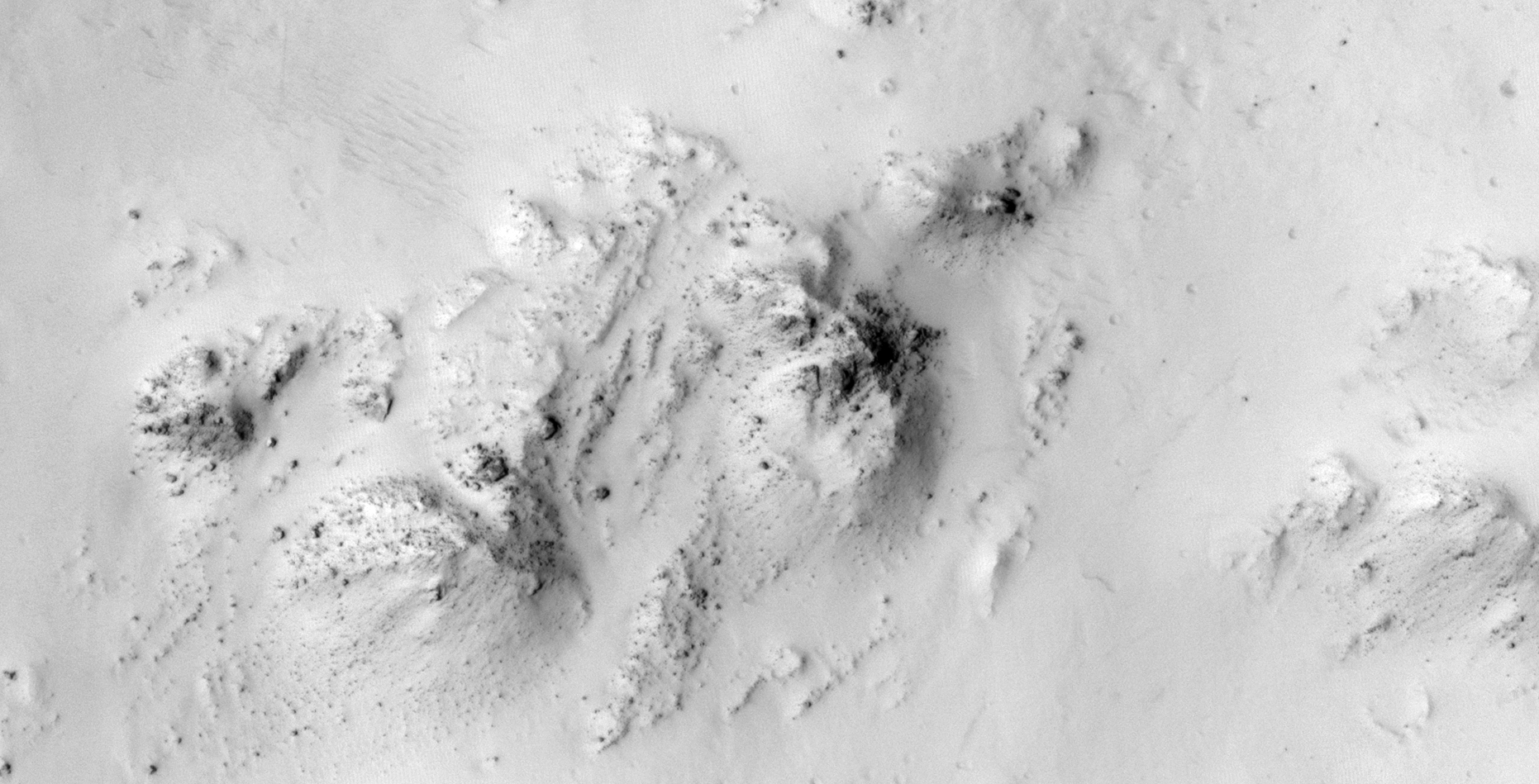
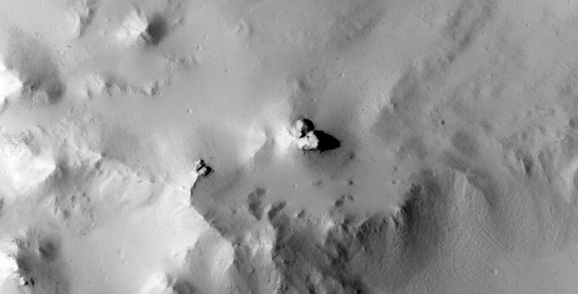
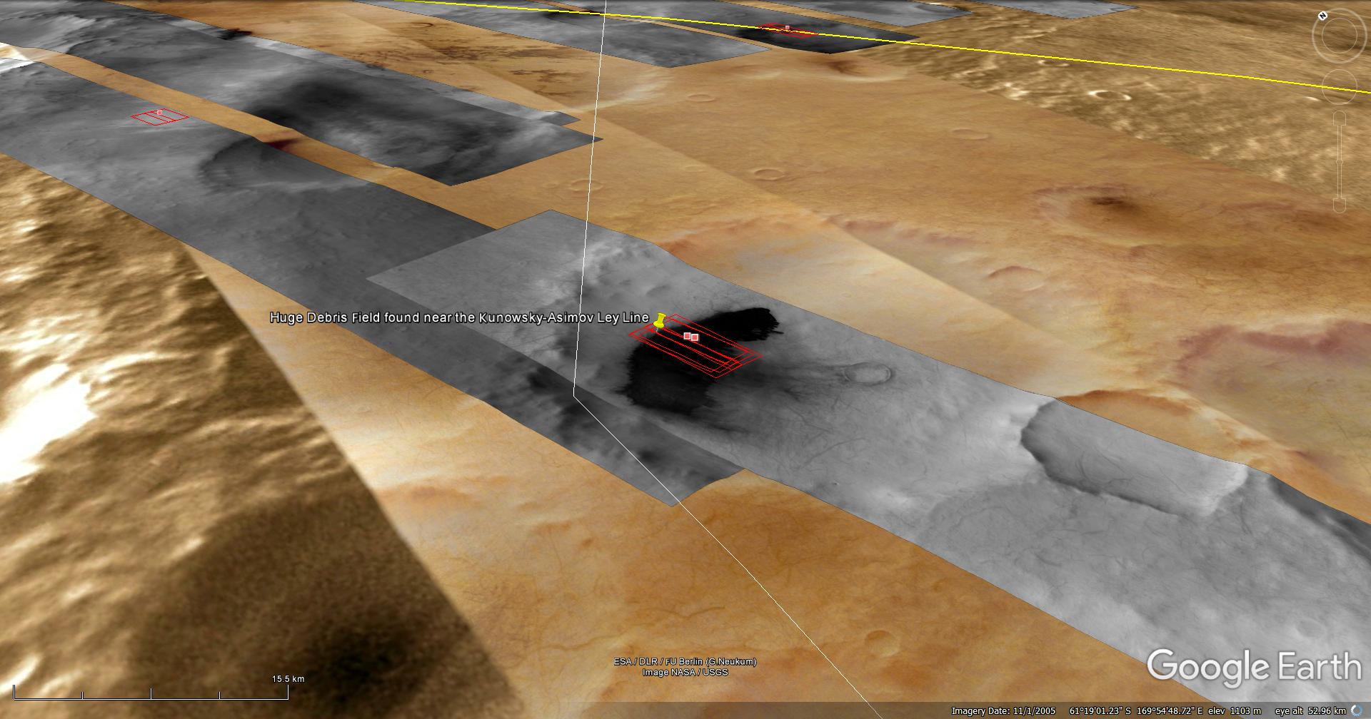
22) Giant Megaliths in Kotka Crater on the Mars Kunowsky-Asimov Ley Line
A Saturn Ark and RaptorZone Collaboration
This is a collaborative work between Saturn Ark and RaptorZone in which further evidence supporting the speculation of a Kunowsky-Asimov Ley Line which connects ancient ruins is presented.
This photograph (PSP_007447_1995) was taken by NASA’s Mars Reconnaissance Orbiter (MRO) HiRISE Camera on 27 February 2008.
NASA describes this photograph as “Well-Preserved 40-Kilometer Diameter Unnamed Crater Near Tartarus Region.”
Discovered is what looks like huge ancient, eroded and damaged Monolithic/Megalithic blocks in Kotka Crater and an extensive debris field and perhaps mining operation.
The Monolithic/Megalithic blocks in Kotka Crater look similar to the one in Asimov Crater, i.e. the textures and shade of colour appear similar. It is rather difficult to obtain any measurements from these blocks as they are partially buried in sand. The one side that is visible measures between approximately 23 and 30 metres across (the angle makes it difficult to be certain and a piece may have broken off).
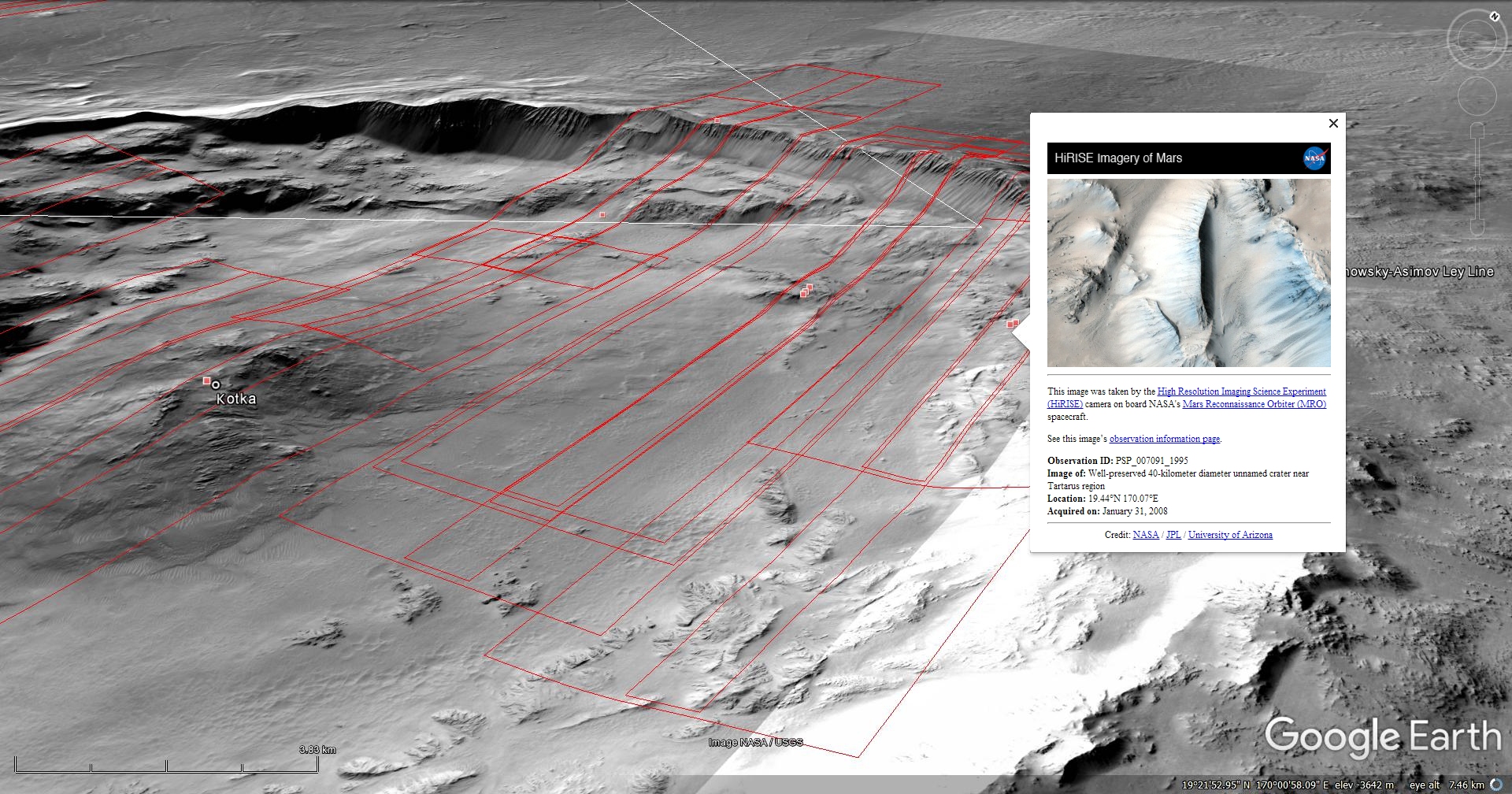
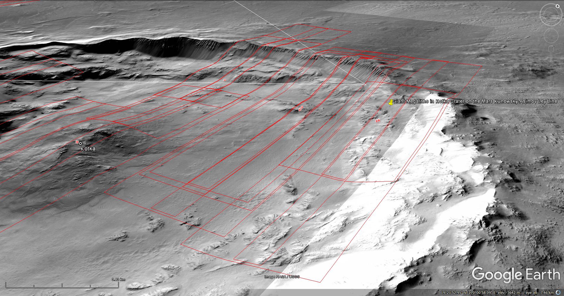
NASA Source: https://www.uahirise.org/PSP_007447_1995
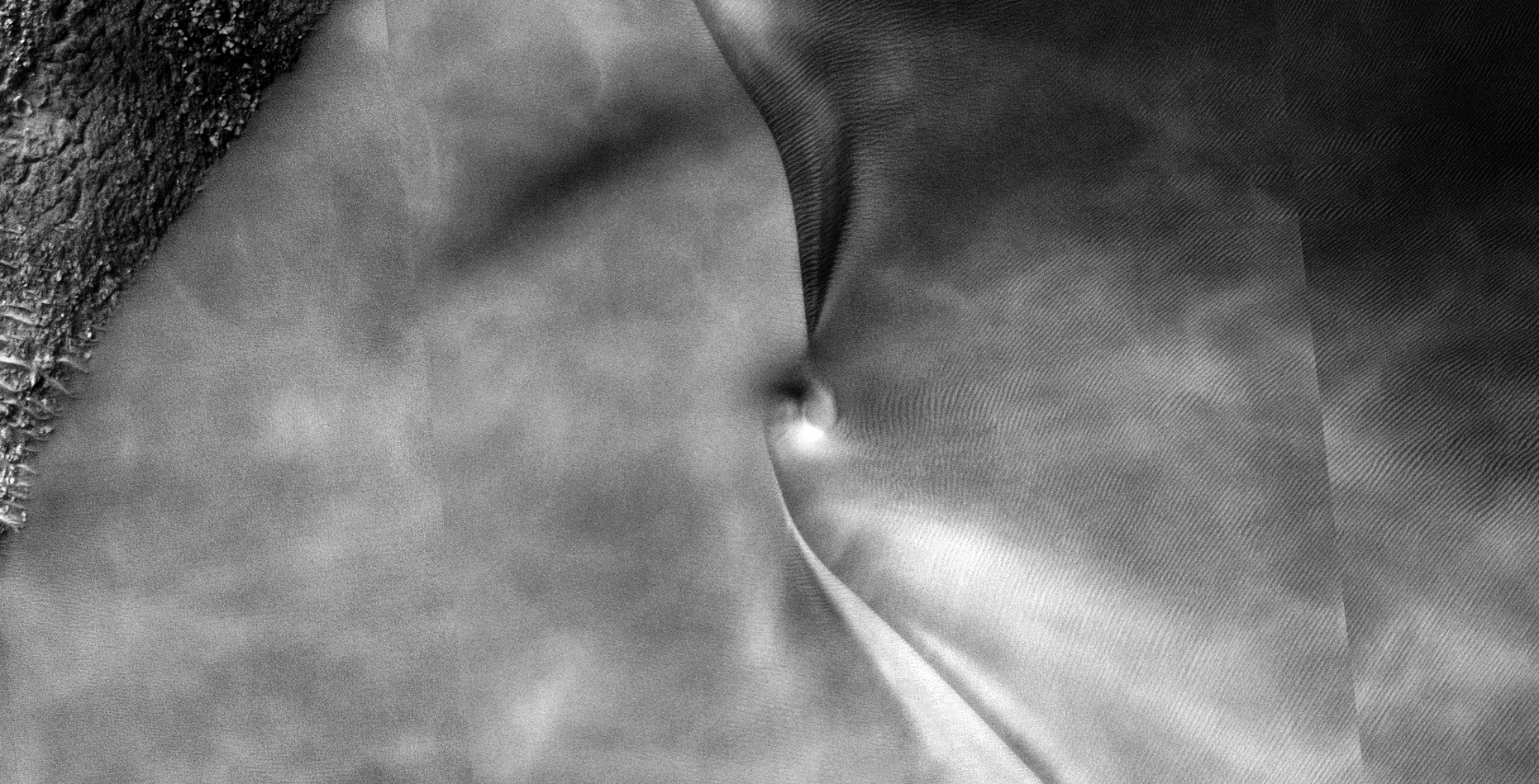
23) More Weird Structures Found on Mars
This photograph (ESP_034342_1315) was taken by NASA’s Mars Reconnaissance Orbiter (MRO) HiRISE Camera on 23 November 2013.
NASA describes this photograph as “High-Altitude Clouds on Mars.”
I discovered what looks like broken statues, structures and odd megaliths with very geometric shapes.

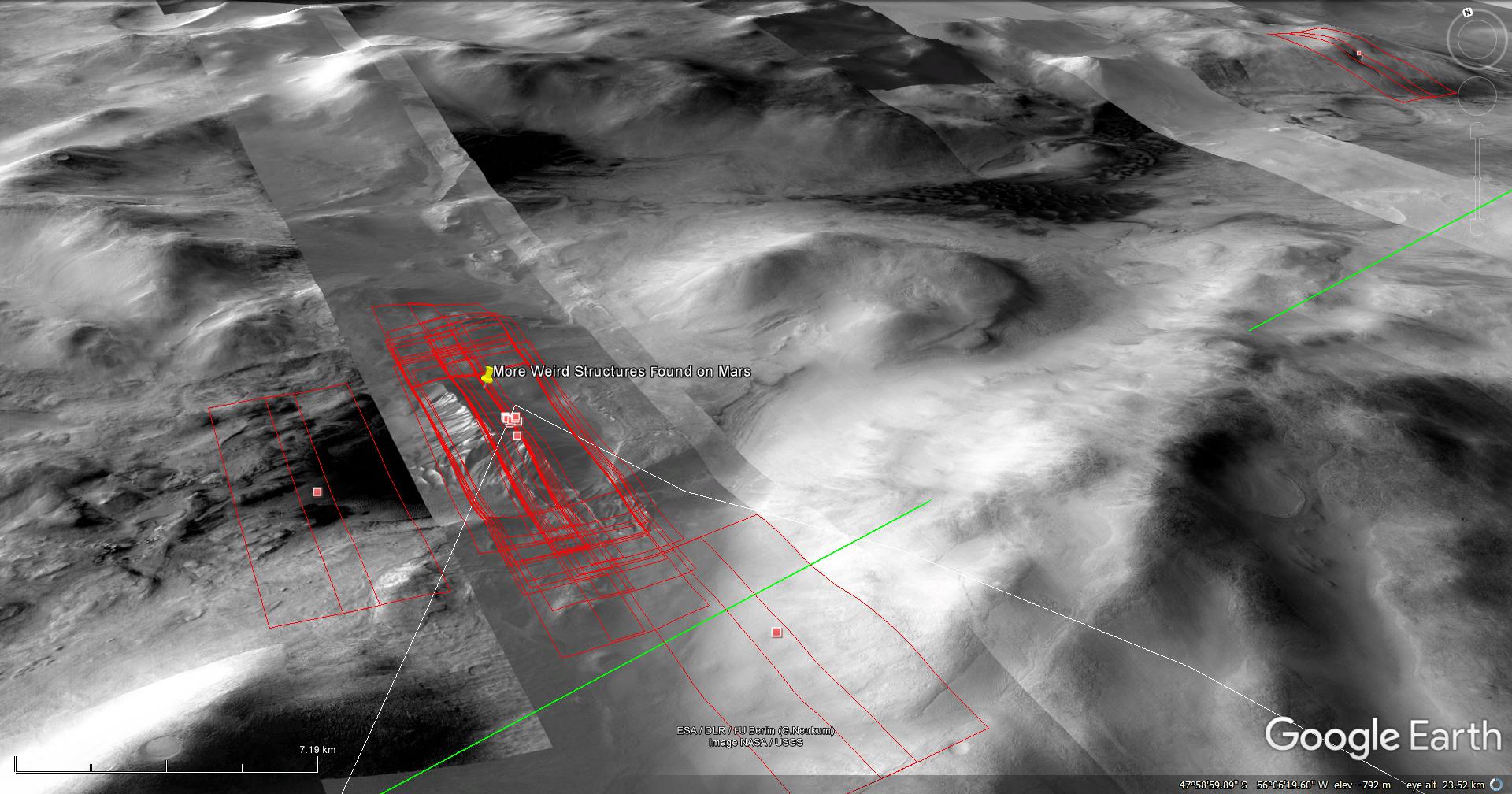
Blog Post: https://mars.raptorzone.co.za/2018/04/25/more-weird-structures-found-on-mars/
NASA Source: https://www.uahirise.org/ESP_034342_1315
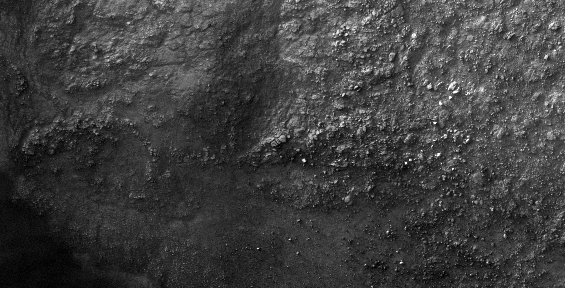
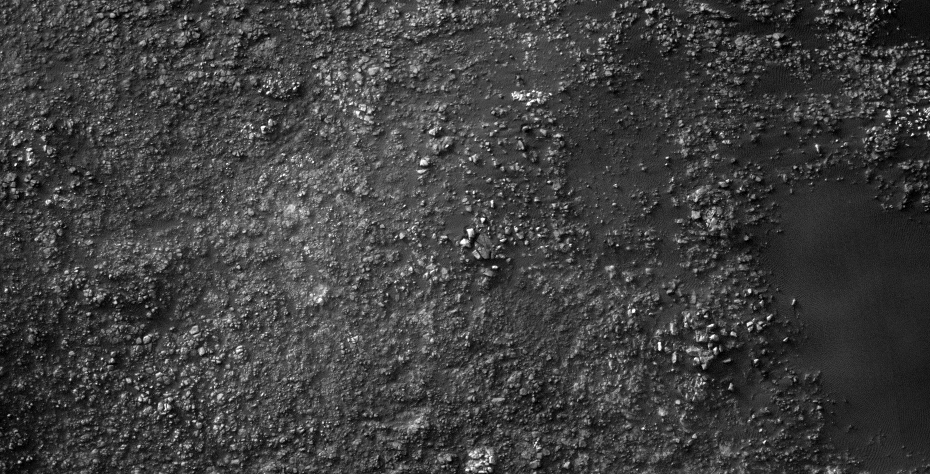
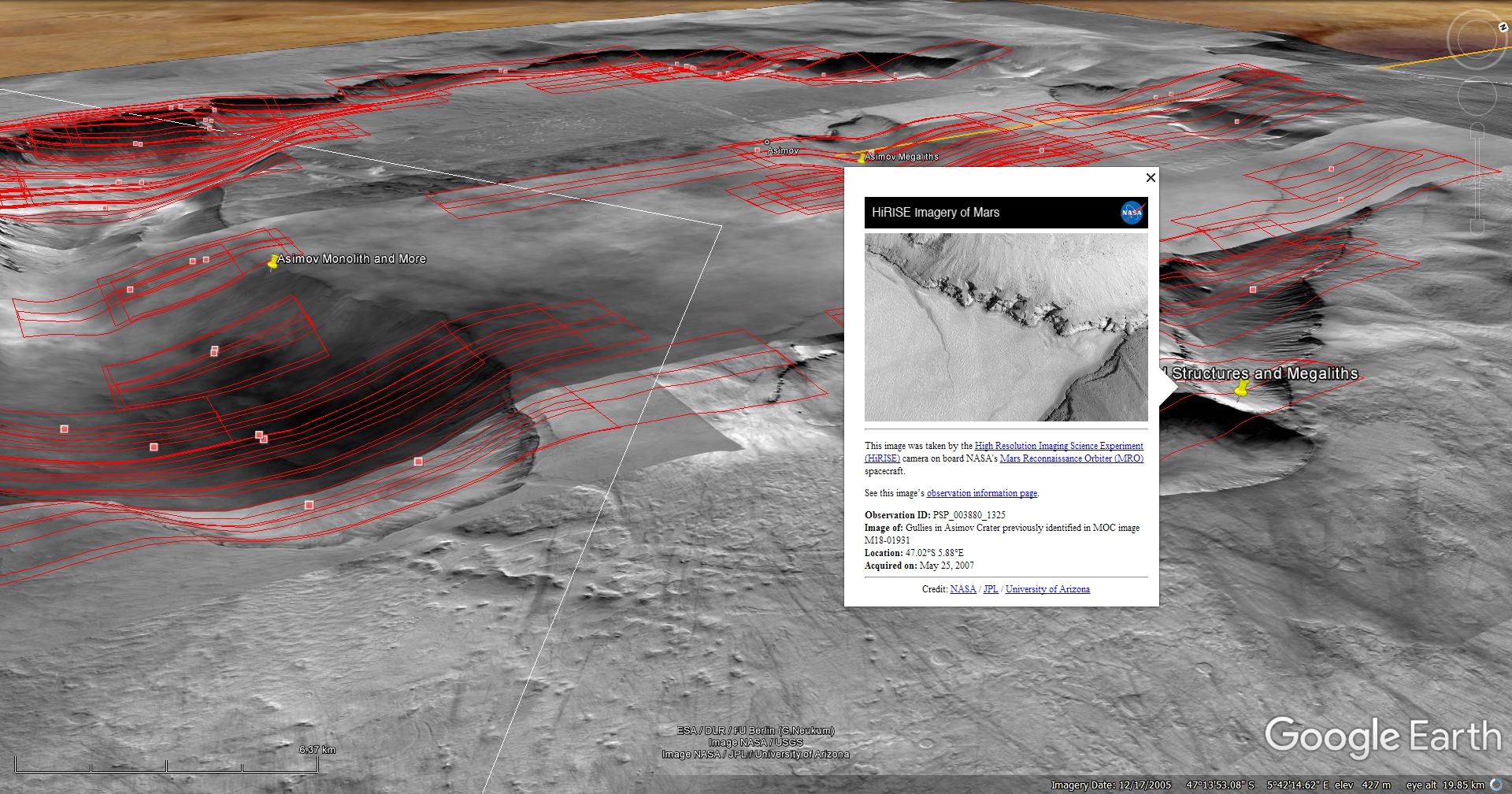
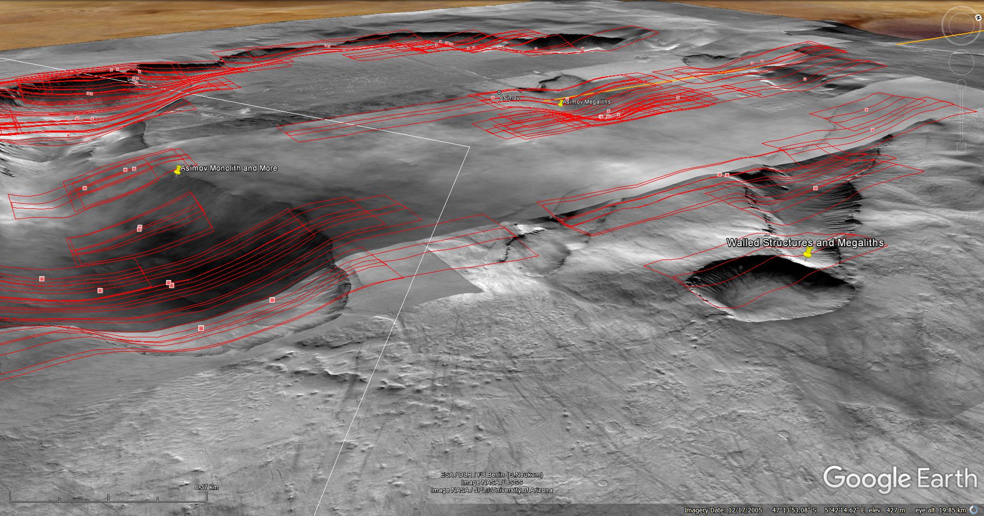
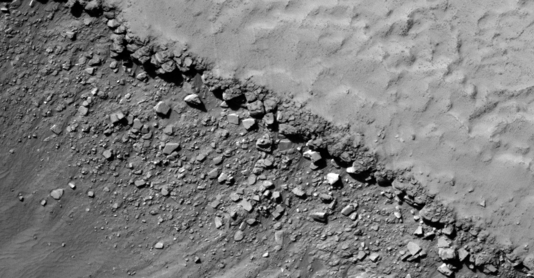
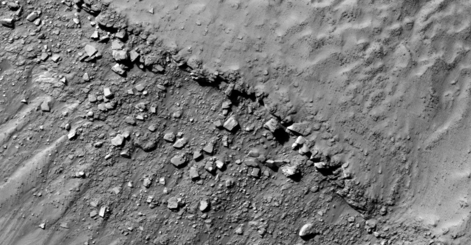
24) Walled Structures and Megaliths found in Asimov Crater
This photograph (PSP_003880_1325) was taken by NASA’s Mars Reconnaissance Orbiter (MRO) HiRISE Camera on 25 May 2007.
NASA describes this photograph as “33 Gullies Previously Identified and Fully Described in MOC Image M18-01931.”
Discovered are what look like walls or structures in Asimov Crater. The sides of the building blocks appear to be covered in smooth, white, reflective material like plaster or cement.
There are several huge megalithic blocks scattered about in the gullies.
Blog Post: https://mars.raptorzone.co.za/2018/04/28/walled-structures-and-megaliths-found-in-asimov-crater/
NASA Source: https://www.uahirise.org/PSP_003880_1325
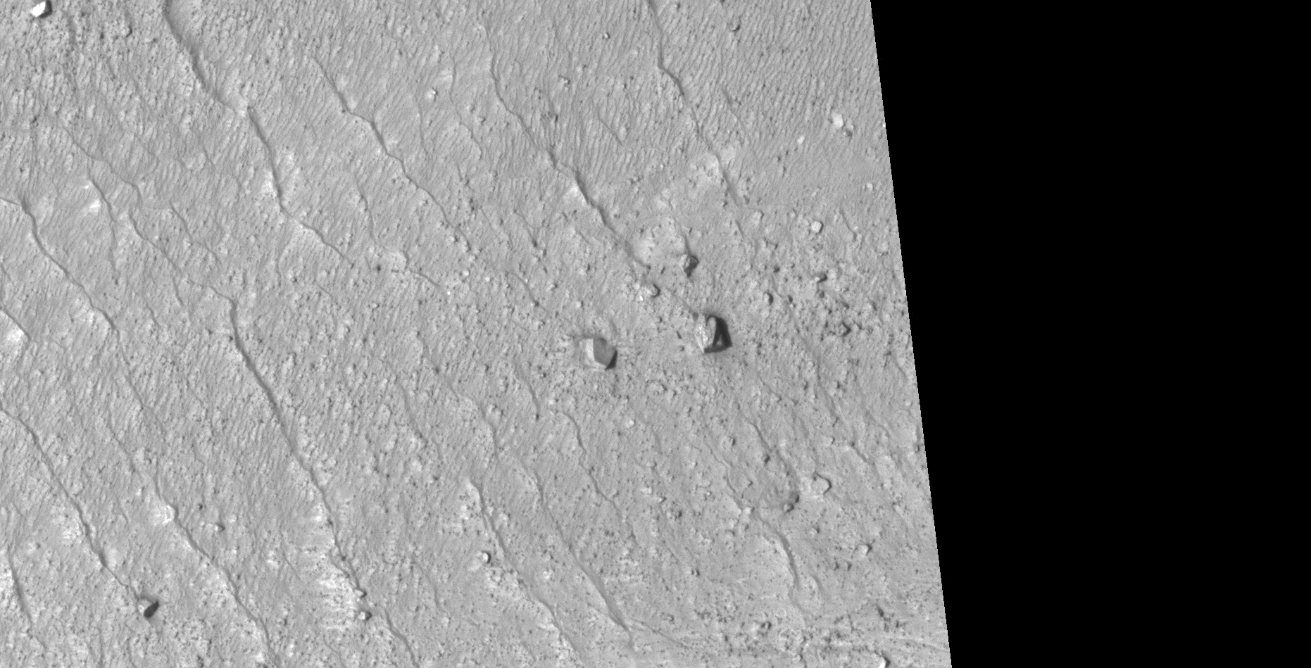
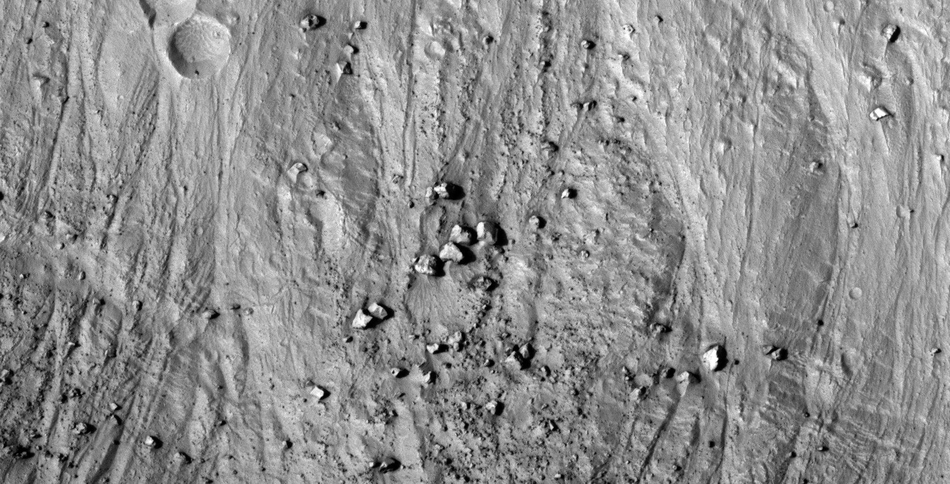
25) Huge Debris Field found near the Kunowsky-Asimov Ley Line on Mars
A Saturn Ark and RaptorZone Collaboration
This is a collaborative work between Saturn Ark and RaptorZone in which more anomalies and artefacts are presented.
This photograph (ESP_032158_1185) was taken by NASA’s Mars Reconnaissance Orbiter (MRO) HiRISE Camera on 06 June 2013.
NASA describes this photograph as “USGS Dune Database 1699-613 Changes.”
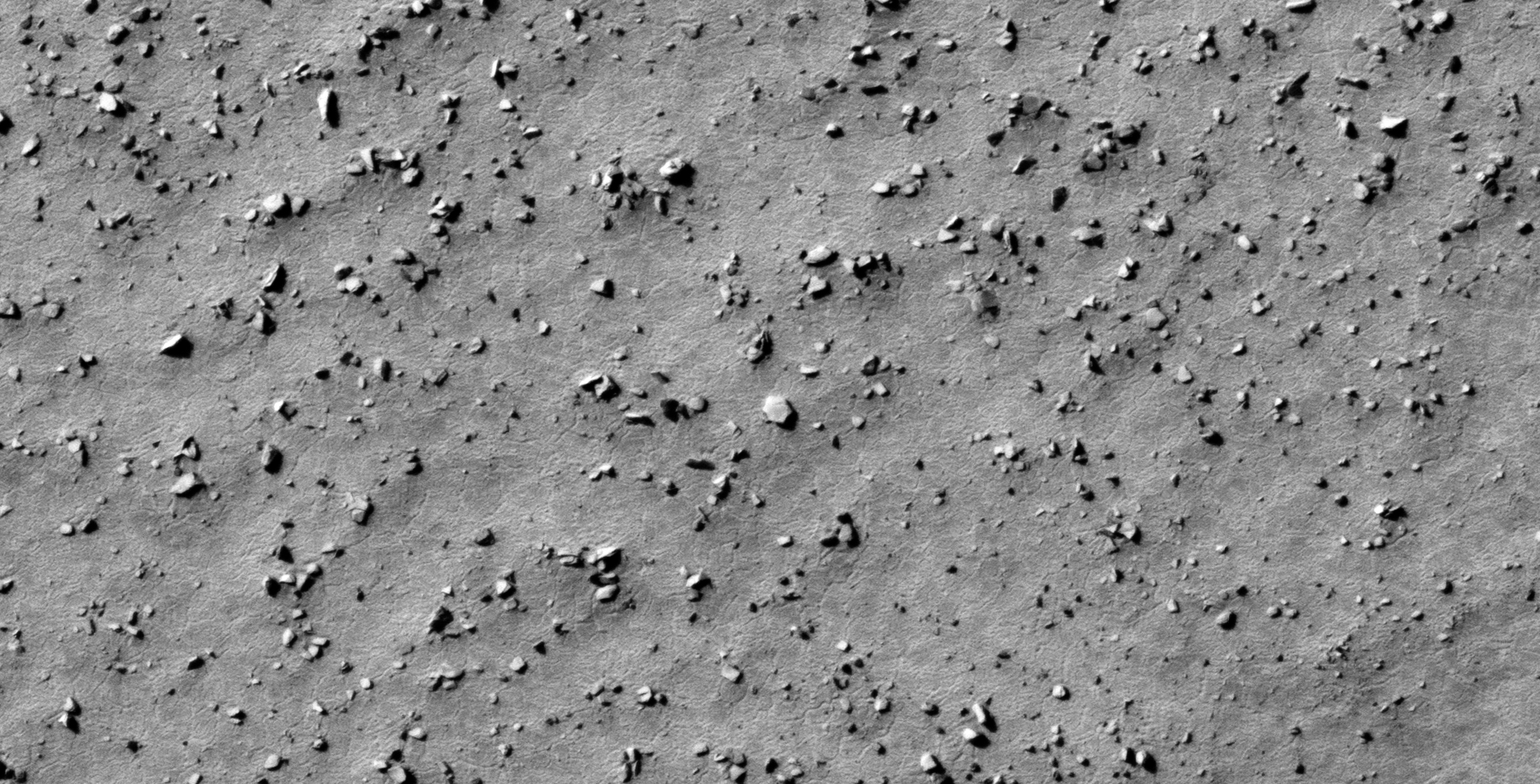
Discovered are what looks like a huge debris field of machine, vehicle, craft and structure pieces and parts (average size of these anomalies is between 3 m and 10 m across).

NASA Source: https://www.uahirise.org/ESP_032158_1185
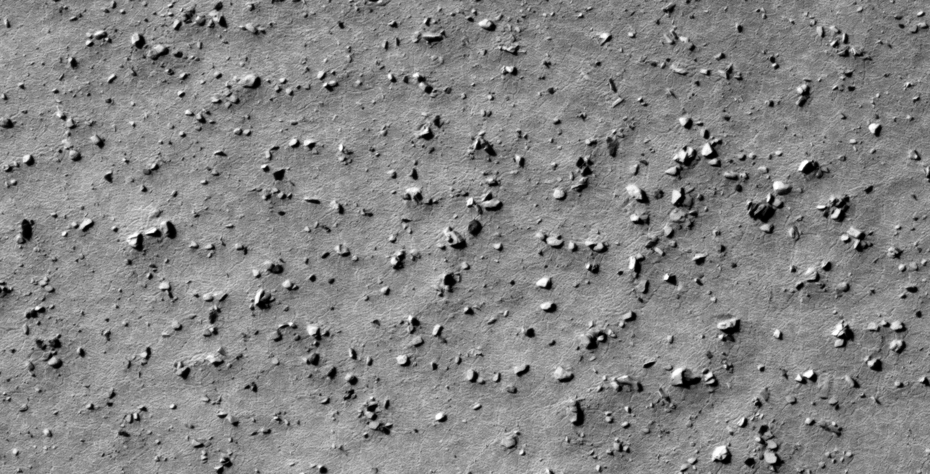
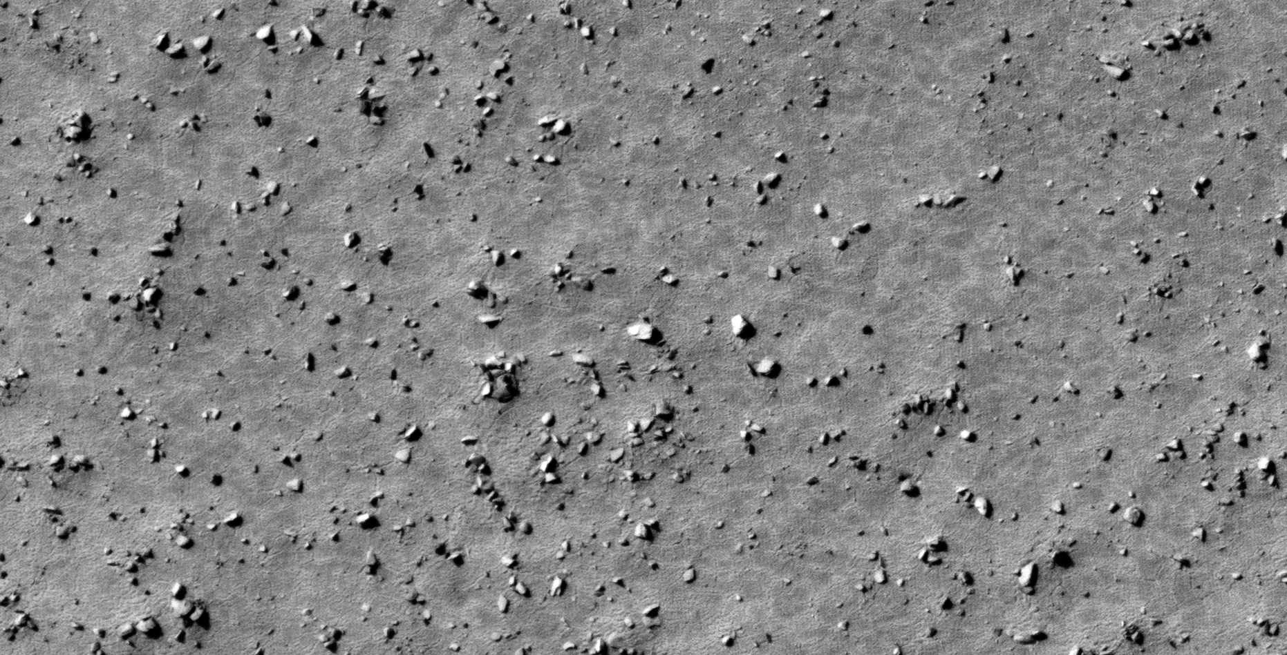
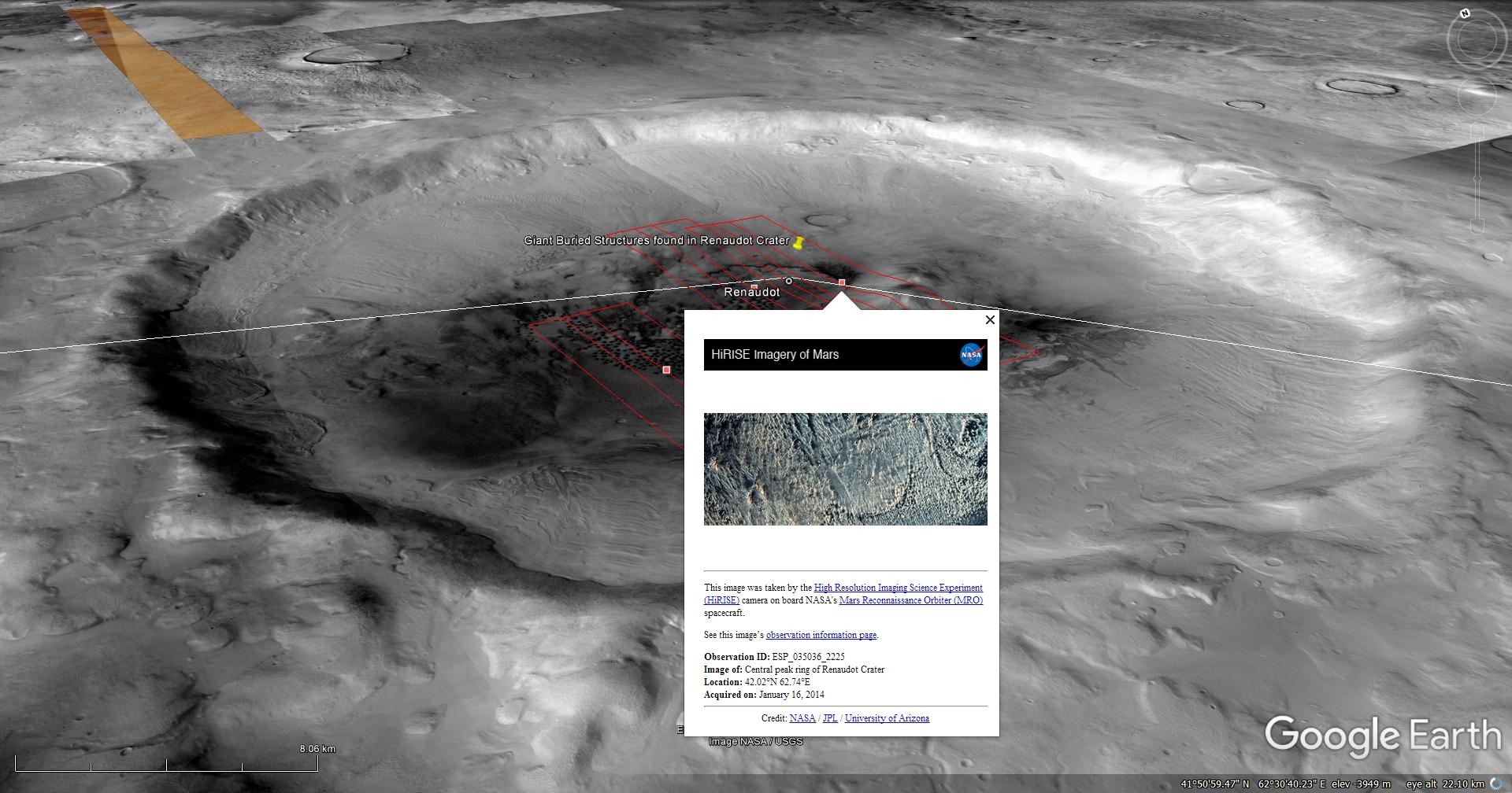
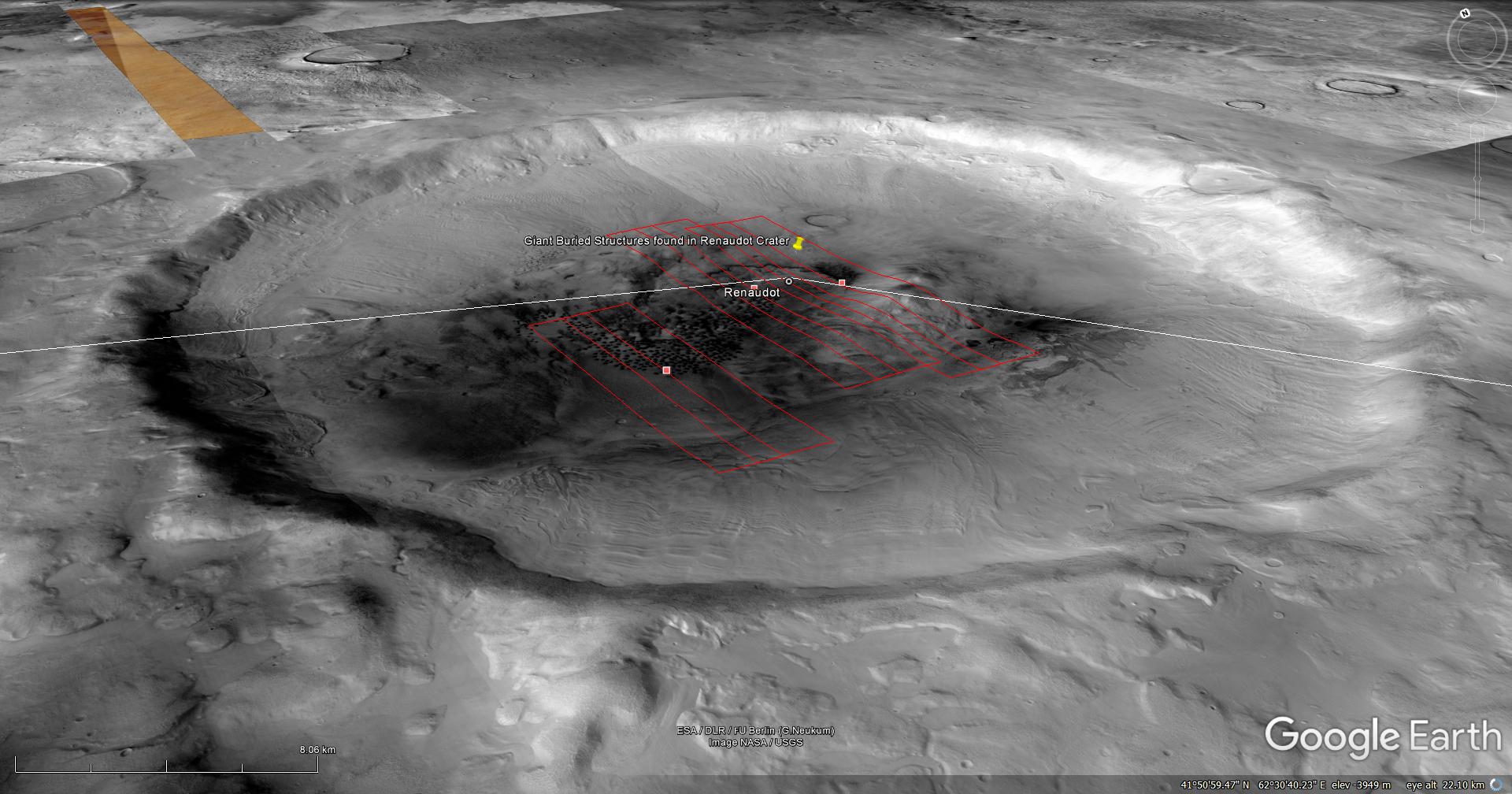
26) Giant Buried Structures found in Renaudot Crater on Mars
his photograph (ESP_035036_2225) was taken by NASA’s Mars Reconnaissance Orbiter (MRO) HiRISE Camera on 16 January 2014.
NASA describes this photograph as “Central Peak Ring of Renaudot Crater.”
I discovered what looks like giant structures on Mars, in particular there is a large triangular structure measuring approximately 300 metres per side.
There are various other structures, including several small ‘Stonehenge-type’ structures each measuring approximately 40 metres in diameter.
Many small objects are scattered throughout this photograph. The objects, which may be artificial debris from some kind of technology, measure between 5 metres and 10 metres across.
Blog Post: https://mars.raptorzone.co.za/2018/05/13/giant-buried-structures-found-in-renaudot-crater-on-mars/
NASA Source: https://www.uahirise.org/ESP_035036_2225
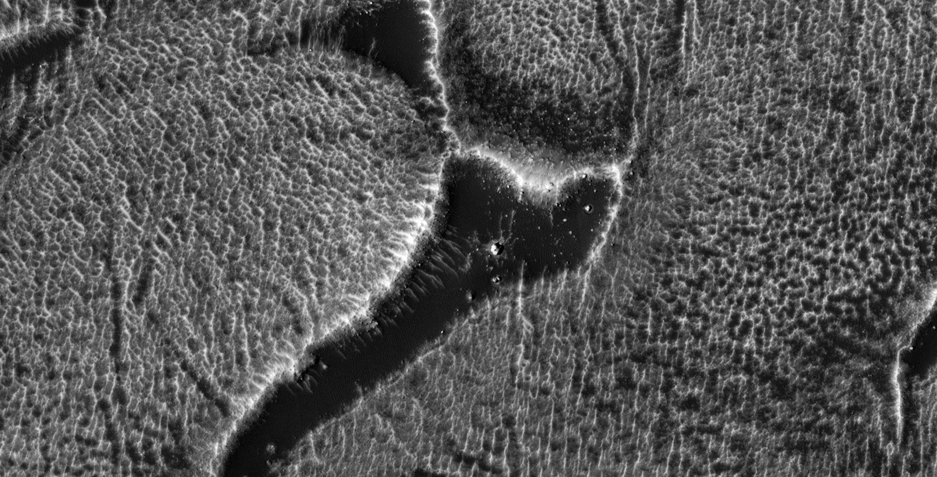
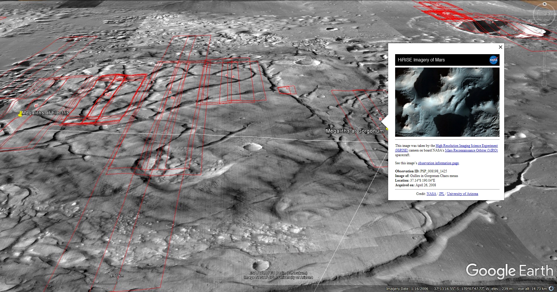
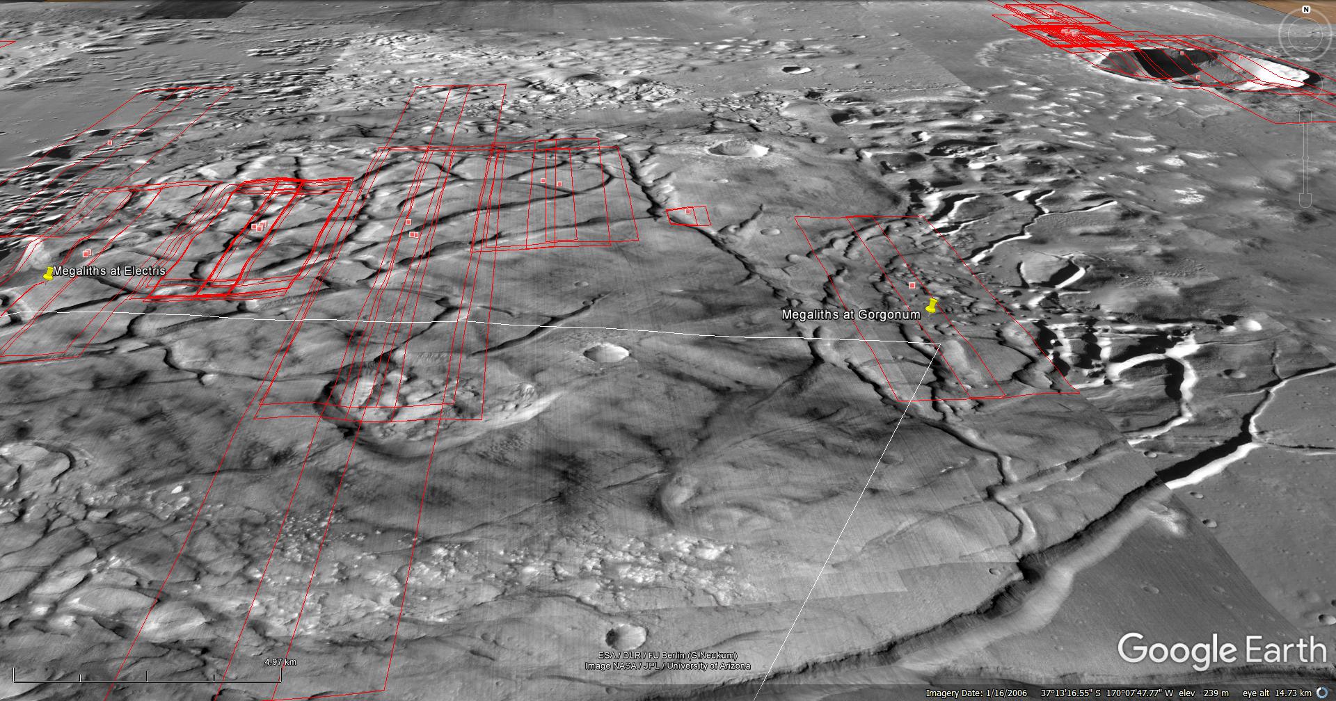
27) Asimov Crater-Type Anomalies Discovered in Gorgonum Chaos on Mars
A Saturn Ark and RaptorZone Collaboration
This is a collaborative work between Saturn Ark and RaptorZone in which more anomalies and artefacts are presented.
This photograph (PSP_008198_1425) was taken by NASA’s Mars Reconnaissance Orbiter (MRO) HiRISE Camera on 26 April 2008.
NASA describes this photograph as “Gullies in Gorgonum Chaos Mesas”
Discovered are what look like similar walls/structures built using large blocks as those found in Asimov Crater as well as multiple craft/machine/tech looking anomalies.
NASA Source: https://www.uahirise.org/PSP_008198_1425
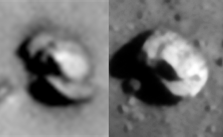
28) Matching Pair of Derelict Classic UFO-Type ‘Craft’ or Objects Found on Mars
A Saturn Ark and RaptorZone Collaboration
This is a collaborative work between Saturn Ark and RaptorZone in which more anomalies and artefacts are presented.
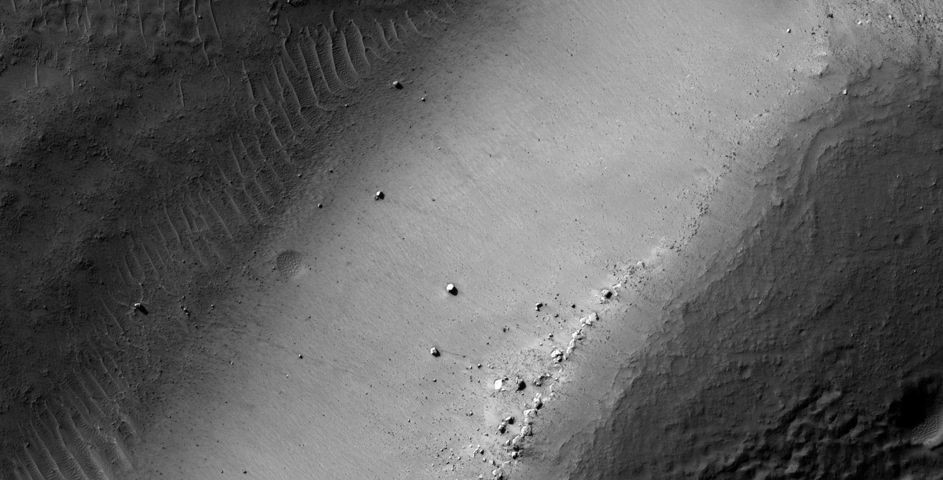
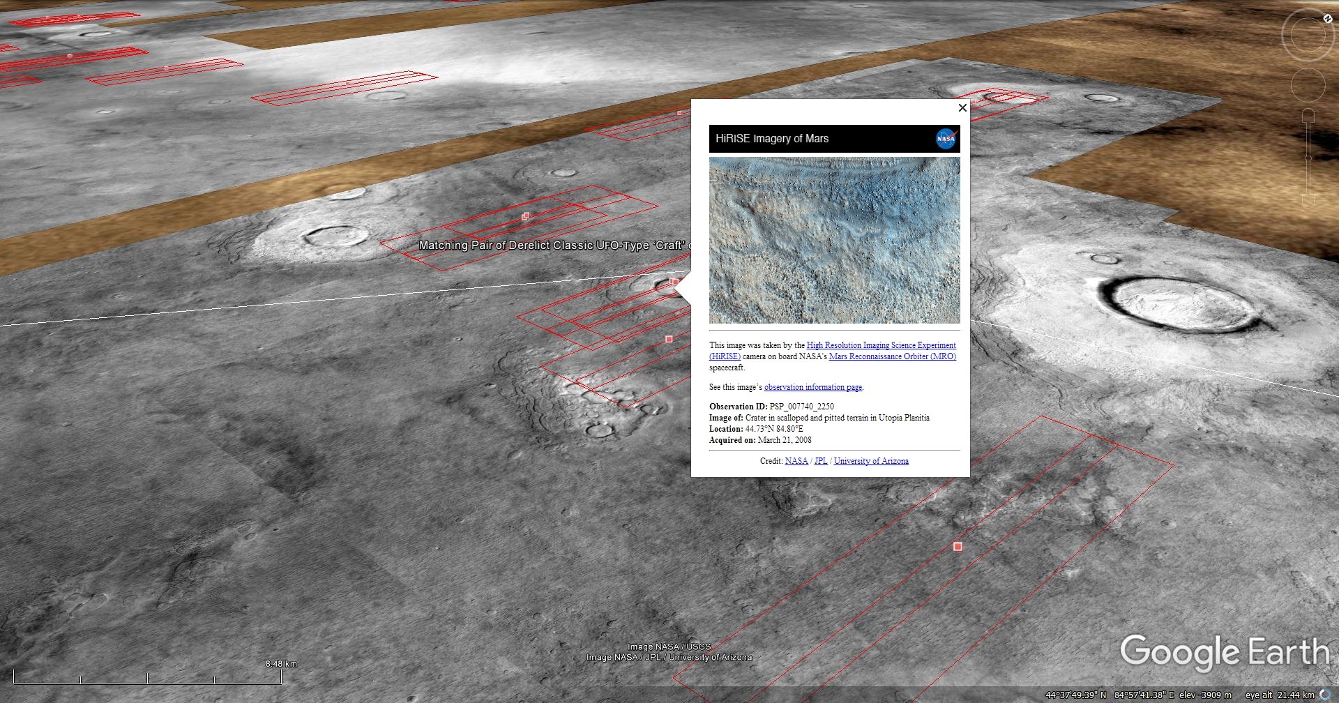
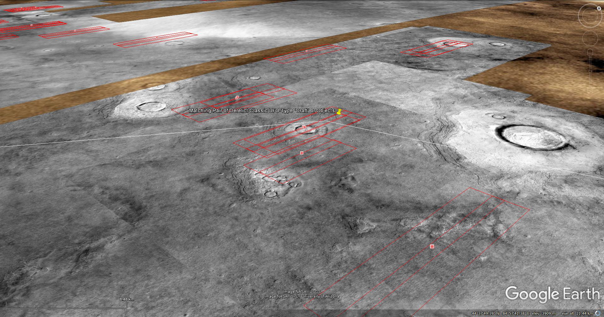
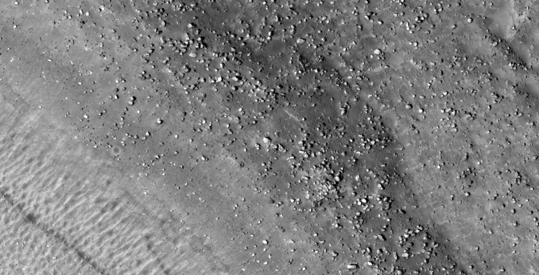
On the 13th of March 2018 I discovered what looks like a small, derelict classic UFO-type ‘craft’ on Mars in a HiRISE photograph (ESP_014166_1820) taken by NASA’s Mars Reconnaissance Orbiter (MRO) HiRISE Camera on 04 August 2009 and NASA describes this photograph as “Possible Layering in Block Material in Hydraotes Chaos.” It has a larger flat disc and a smaller oval dome on top and measures approximately 8 metres in diameter.
New discovery, matching ‘craft:’
On the 17th of May 2018 my friend, Saturn Ark, discovered a matching derelict ‘craft’ with the same dimensions and shape in another HiRISE photograph 6463 km away. This craft in this photograph appears to be a lot more damaged, almost wrecked, compared to the one I found. The photograph (PSP_007740_2250) was taken by NASA’s Mars Reconnaissance Orbiter (MRO) HiRISE Camera on 21 March 2008 and NASA describes this photograph as “Crater in Scalloped and Pitted Terrain in Utopia Planitia.”

Blog Post: https://mars.raptorzone.co.za/2018/05/20/matching-pair-of-craft-found-on-mars/
NASA Source: https://www.uahirise.org/PSP_007740_2250
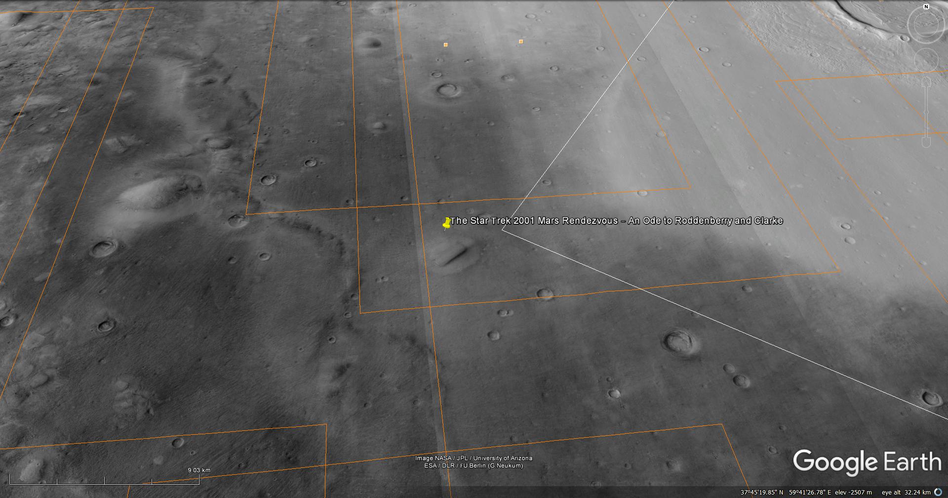
29) The Star Trek 2001 Mars Rendezvous – An Ode to Roddenberry and Clarke
he photograph analyzed here (B17_016259_2199_XN_39N300W) were taken by NASA’s Mars Reconnaissance Orbiter Context Camera (CTX) Camera on 2010-01-14. NASA describes the photographs as “Protonilus/Nilosyrtis fretted terrain – northern plains transition area.’
This is a tribute to two brilliant men, Eugene Roddenberry, creator of the Star Trek television series and Sir Arthur C. Clarke, author or 2001: A Space Odyssey.
I discovered what looks like the Star Trek Enterprise primary (saucer section) and secondary hulls without warp nacelles parked on the Martian surface and a huge monolith as featured in 2001: A Space Odyssey.
The ‘Enterprise’ measures approximately 300 metres across and the ‘monolith’ approximately 2 km long by 300 metres wide.
I just thought this is a great NASA photograph that unwittingly pays homage to two great guys and the awesome legacy they left for us and future generations.
These anomalies featured in my Viewers Special YouTube video in which I gave my viewers an opportunity to let me know what their take on these anomalies are, however only one viewer responded.
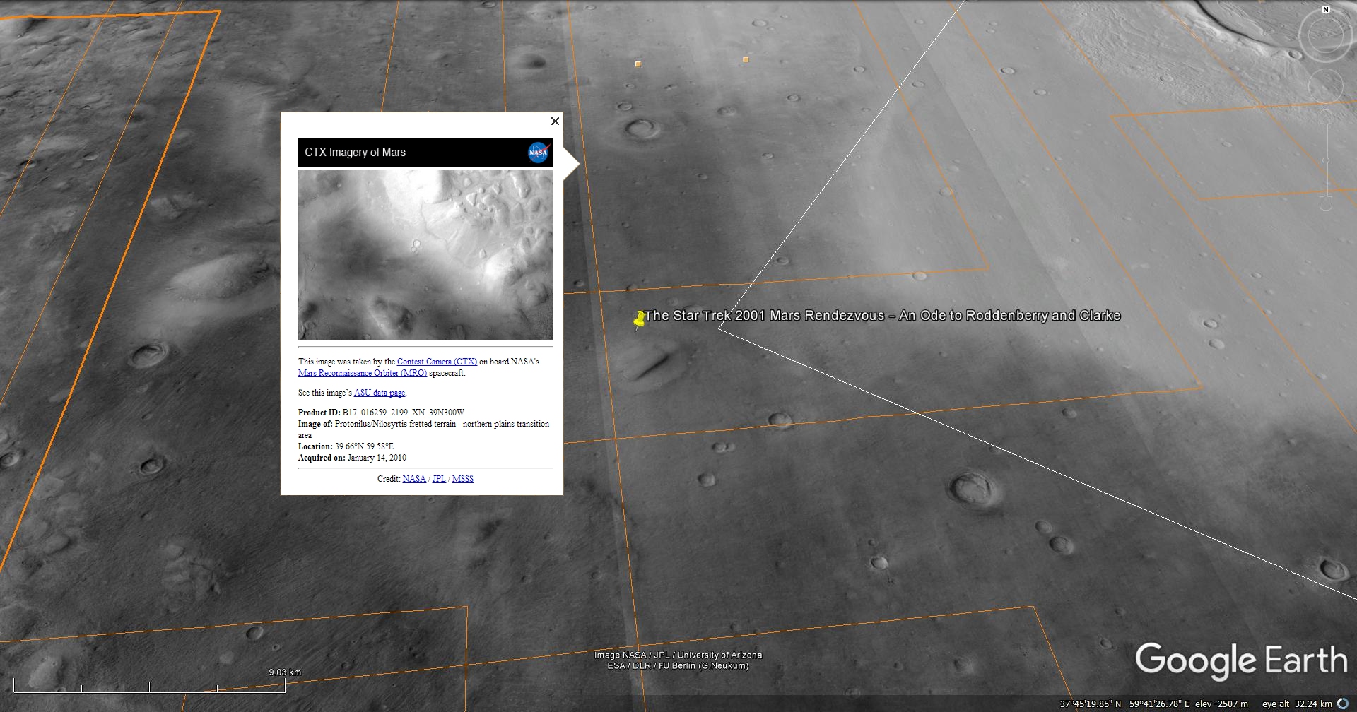
NASA Source: http://viewer.mars.asu.edu/planetview/inst/ctx/B17_016259_2199_XN_39N300W
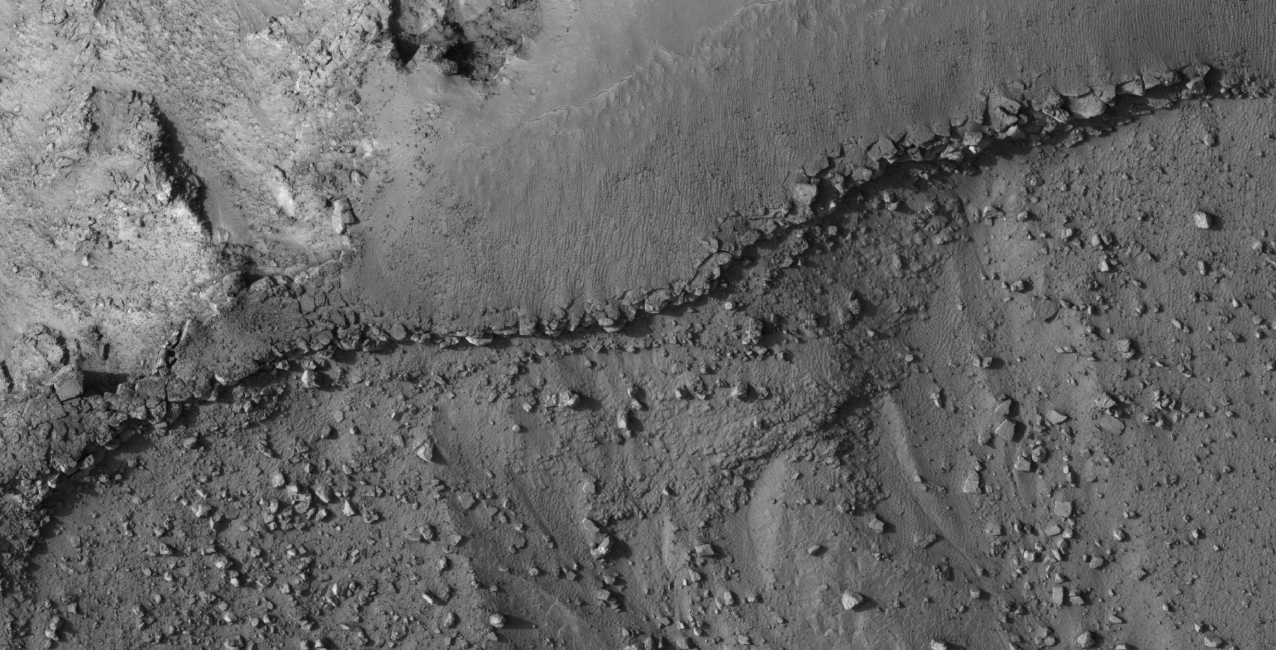
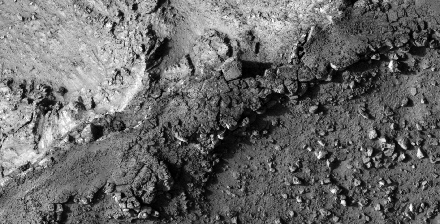
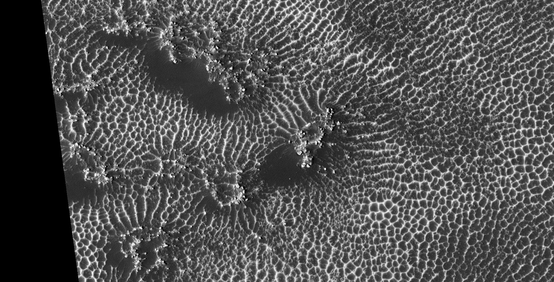
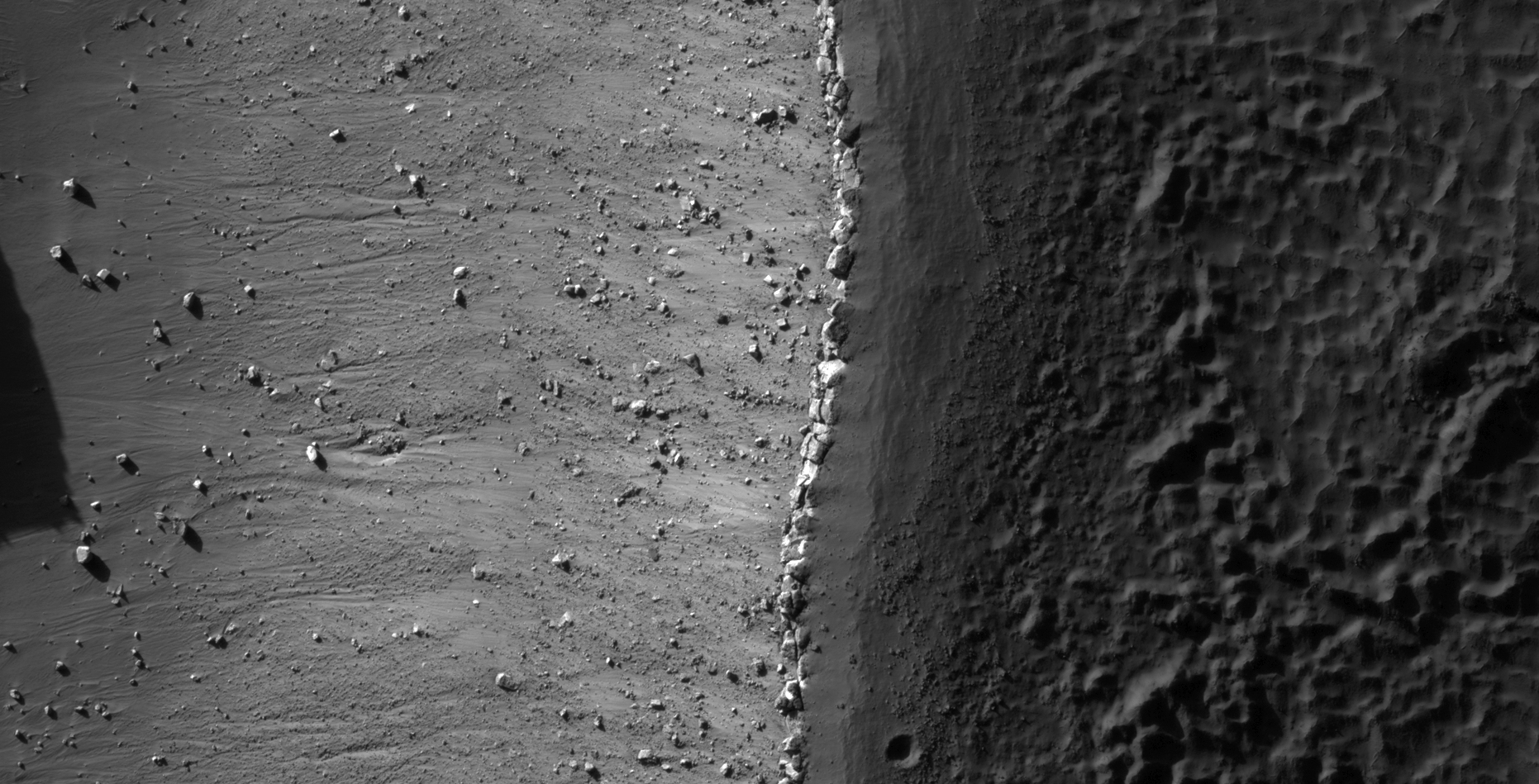
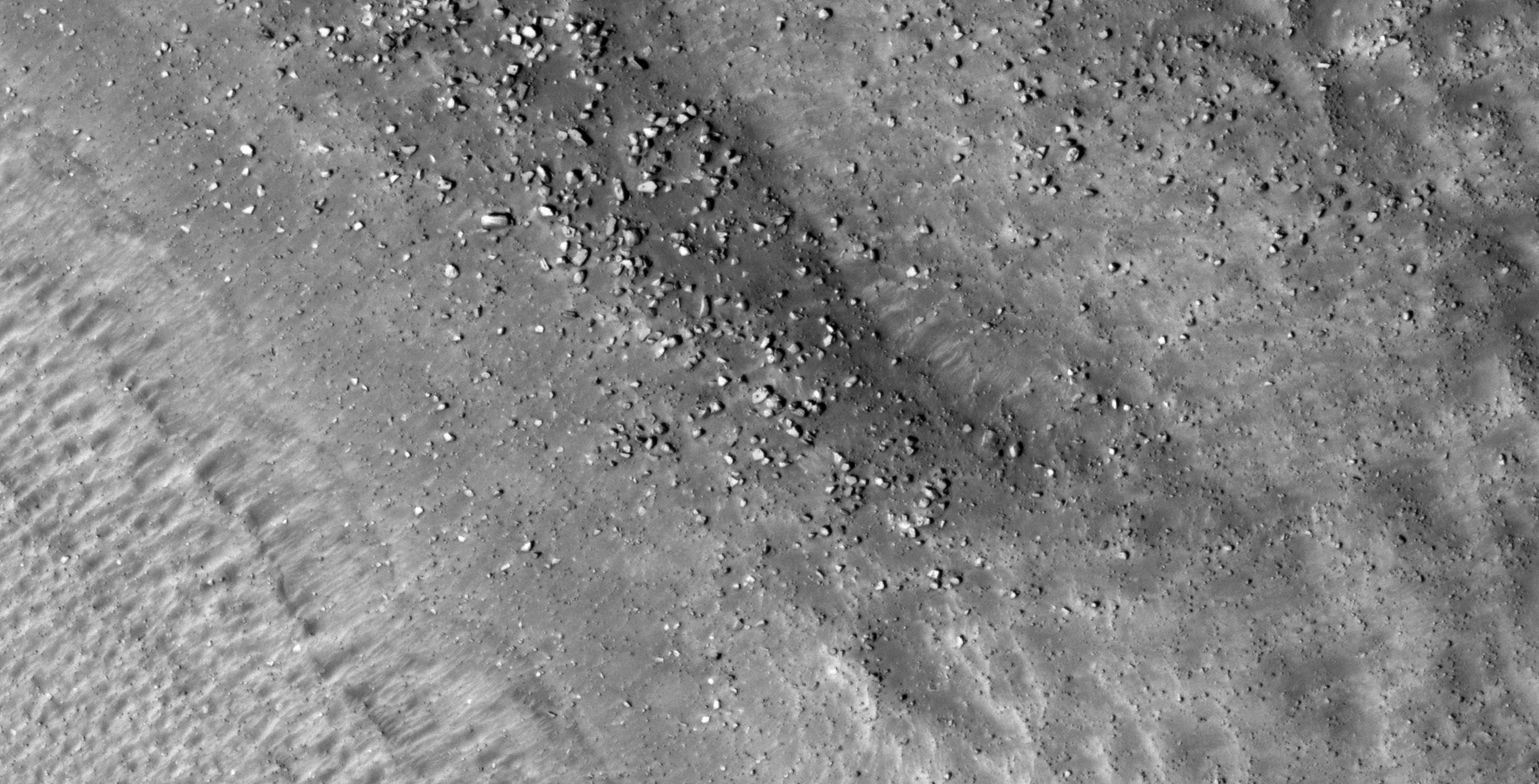
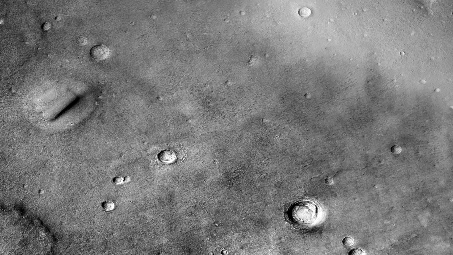
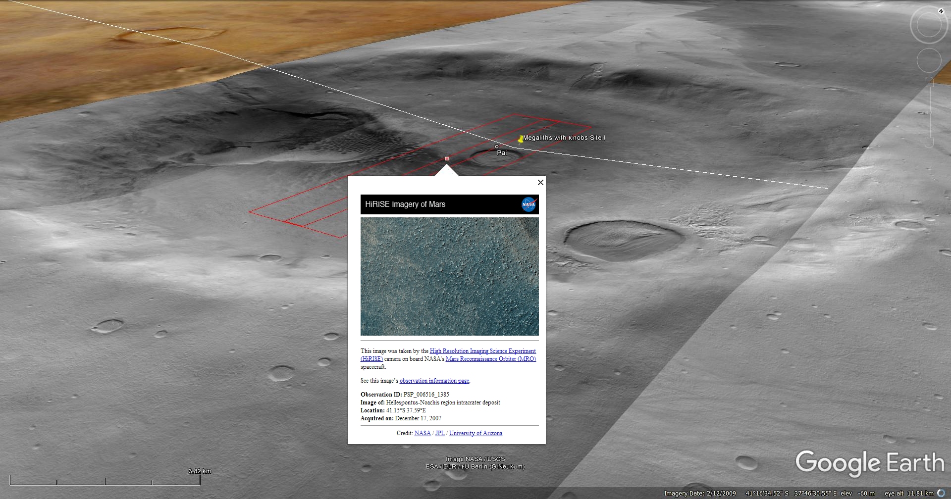
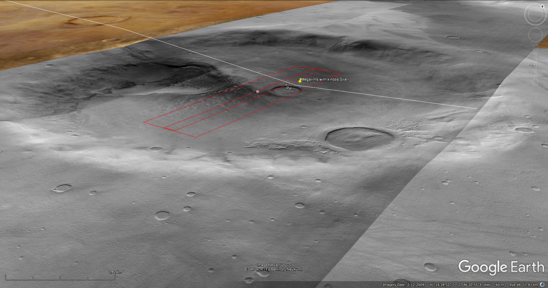
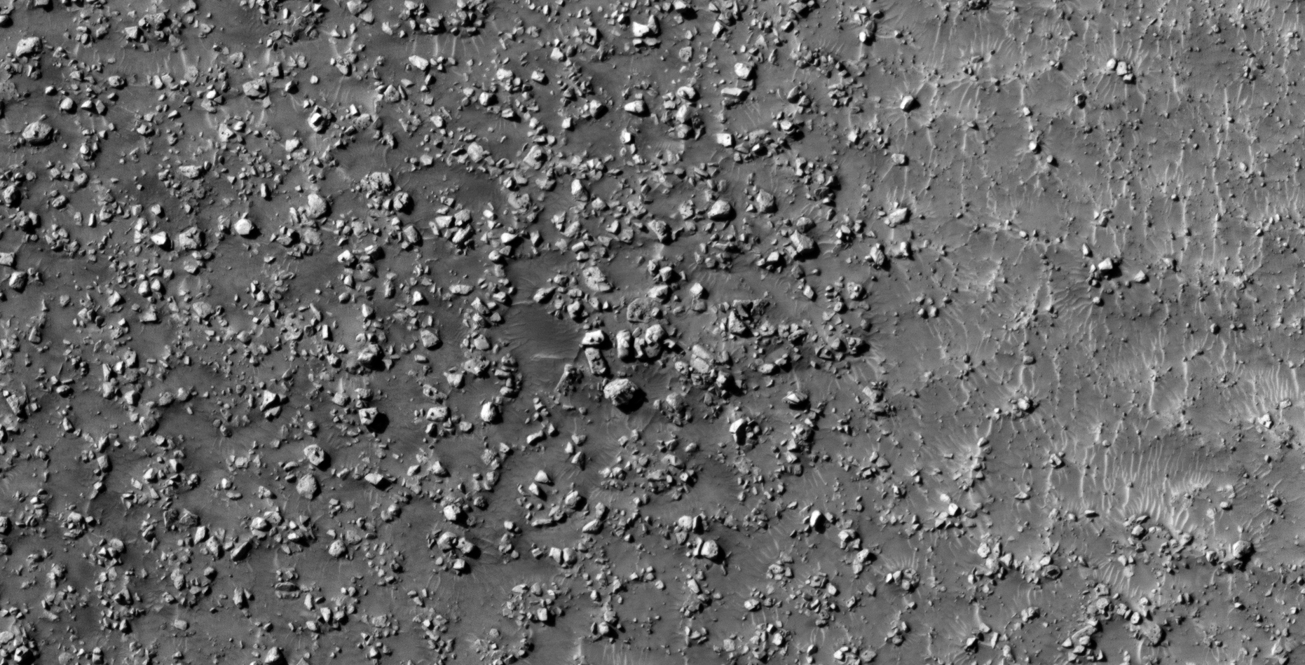
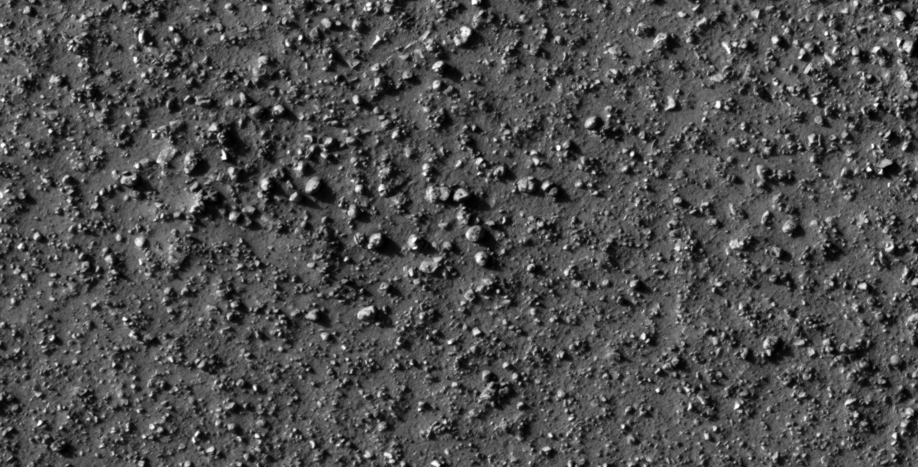
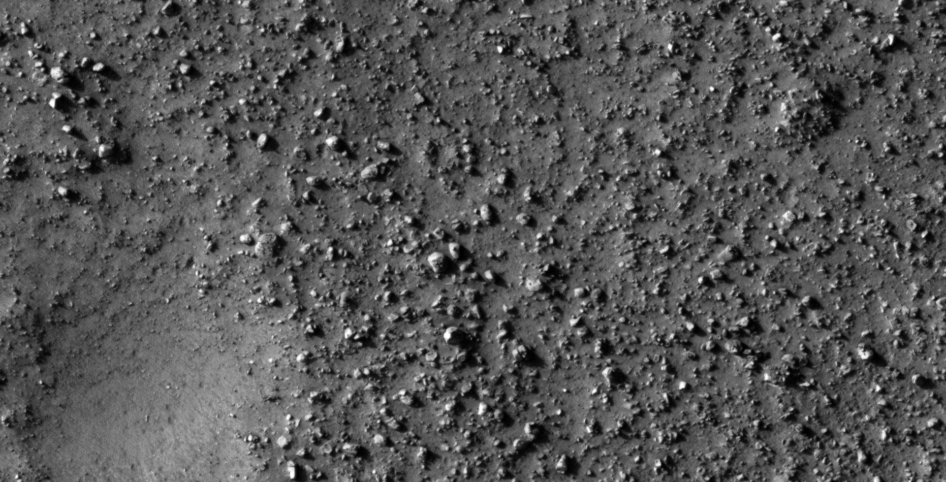
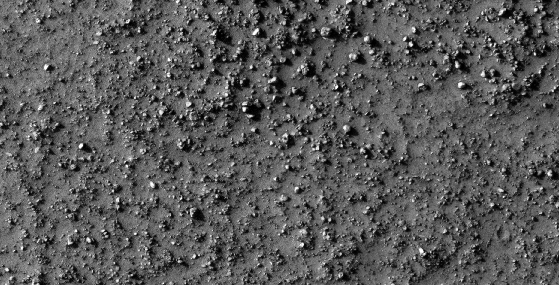
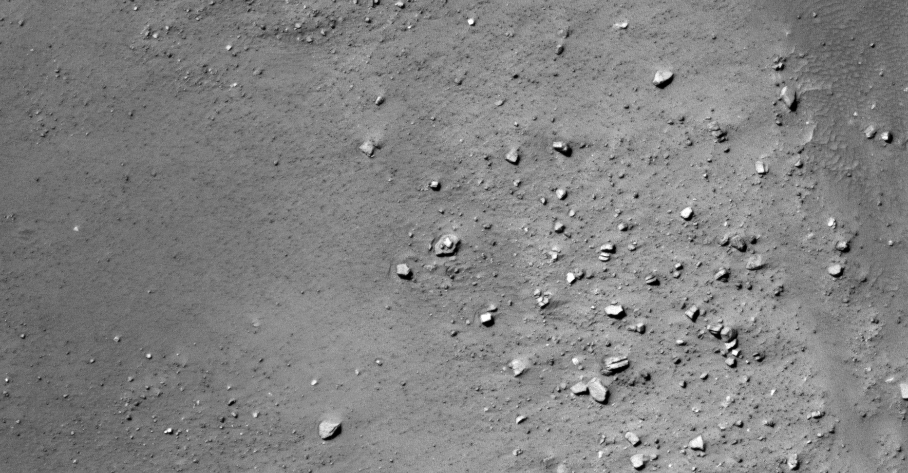
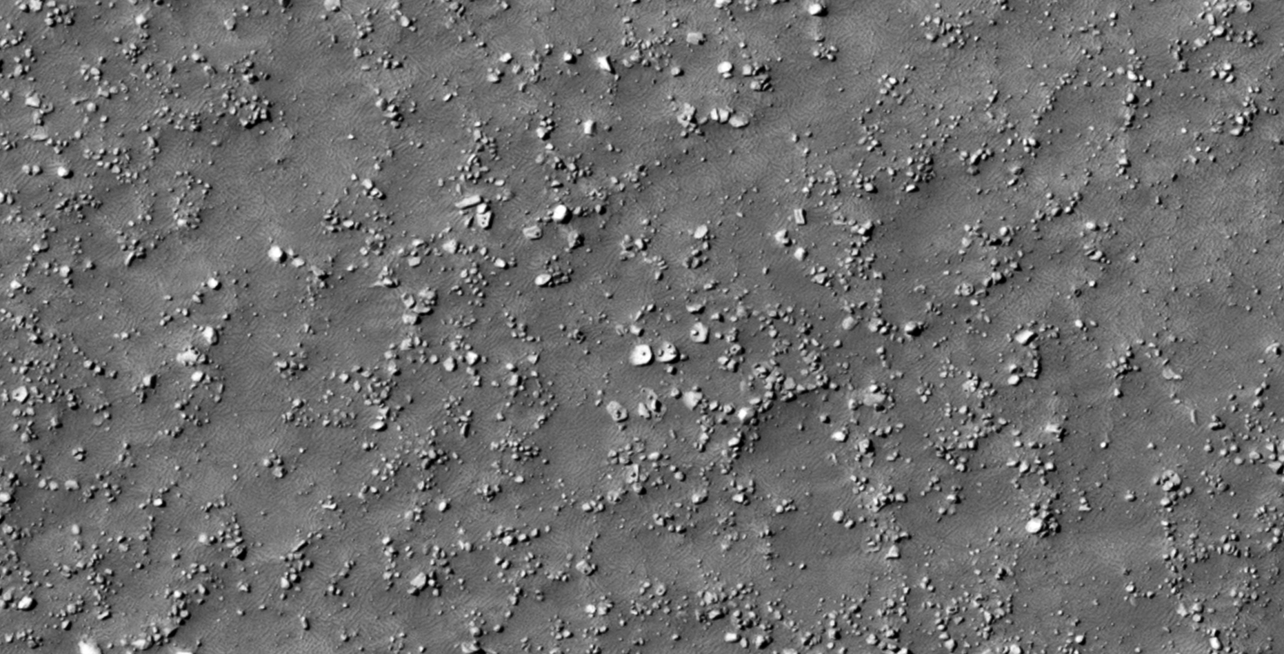
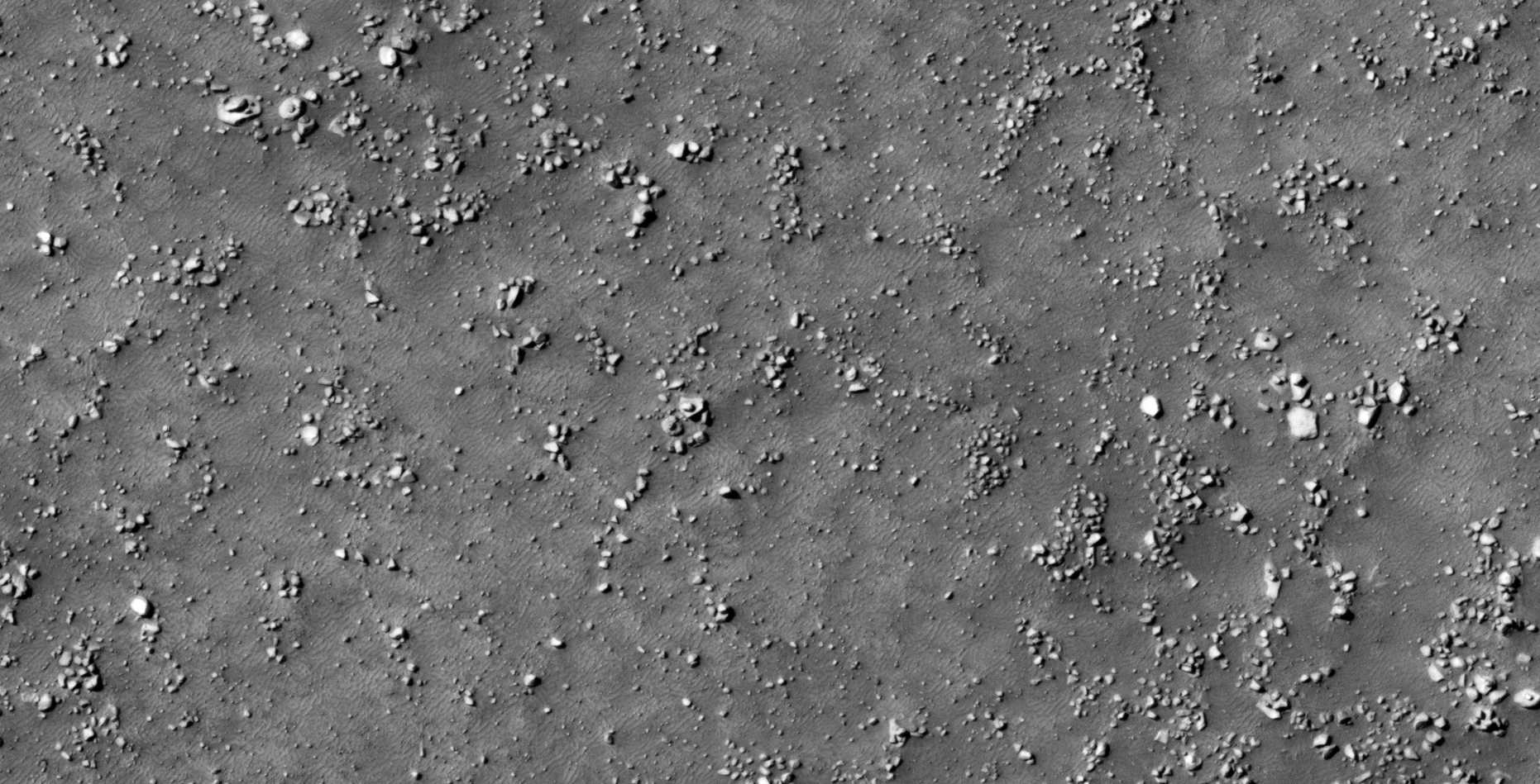
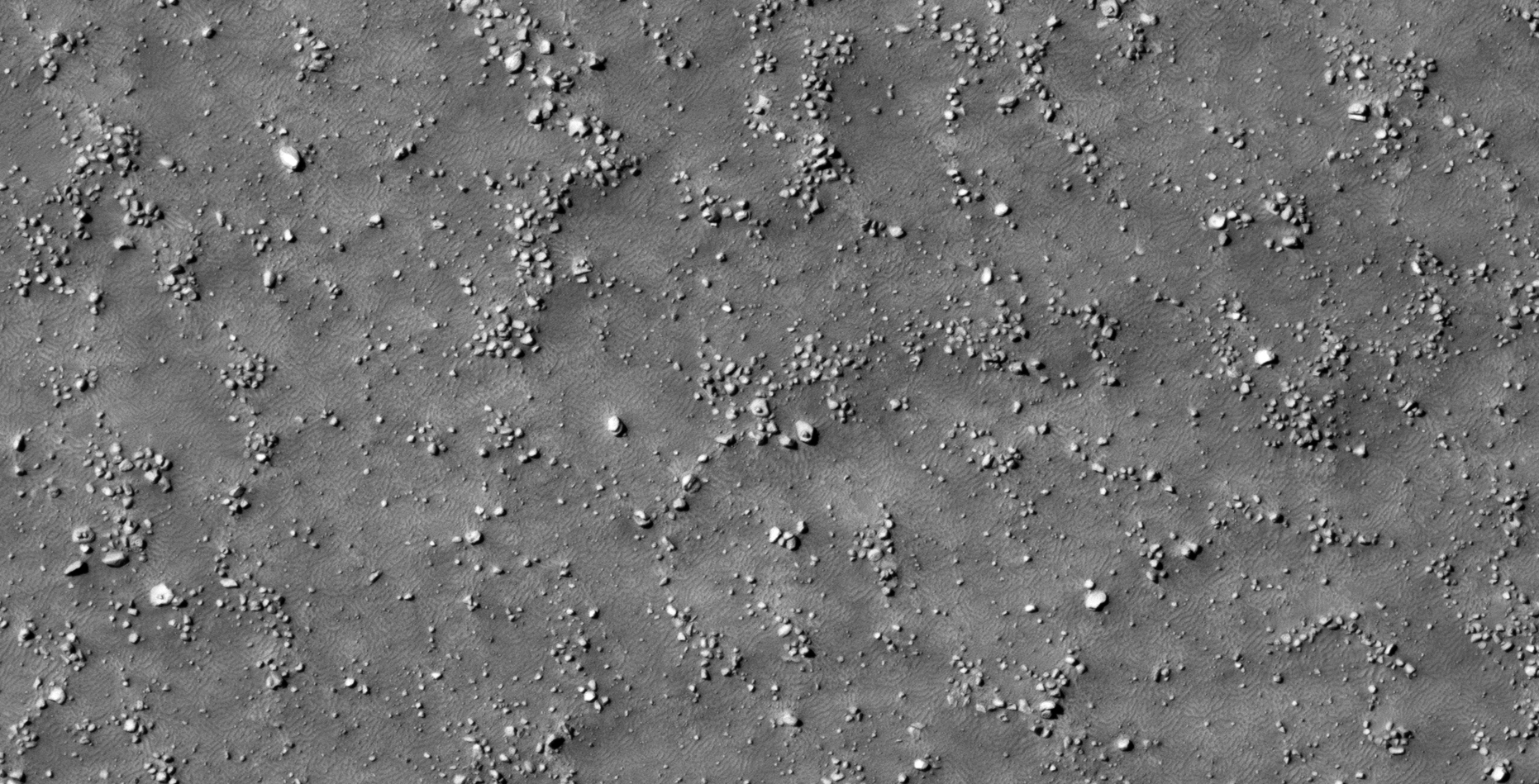
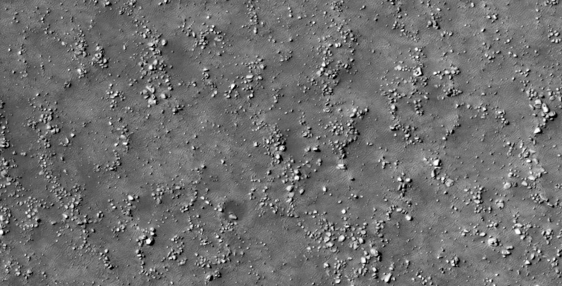
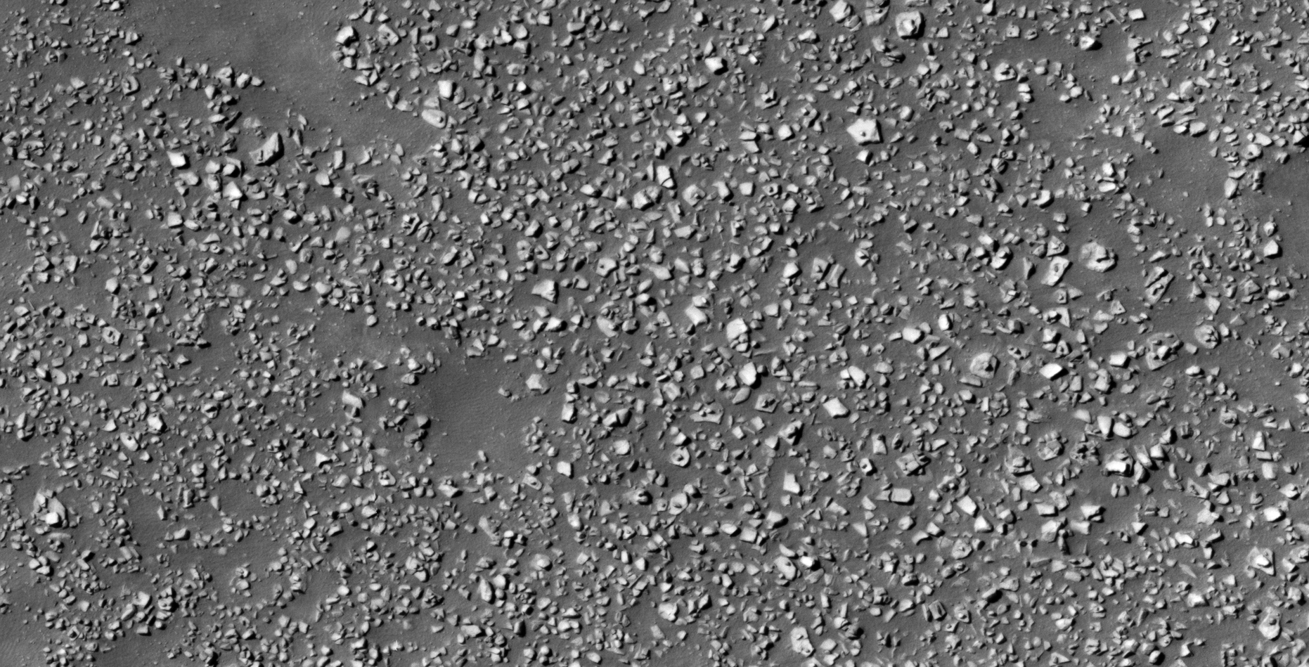
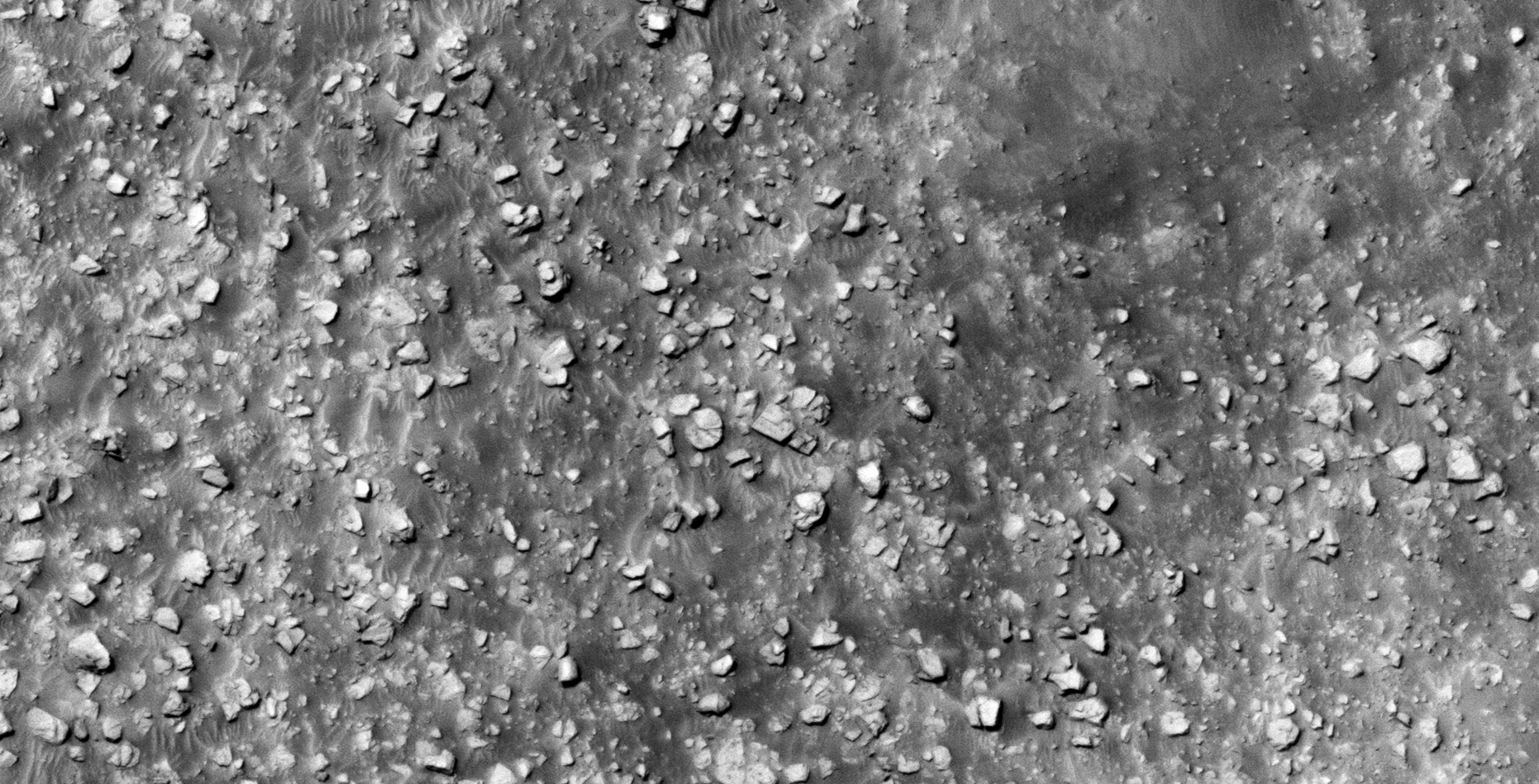
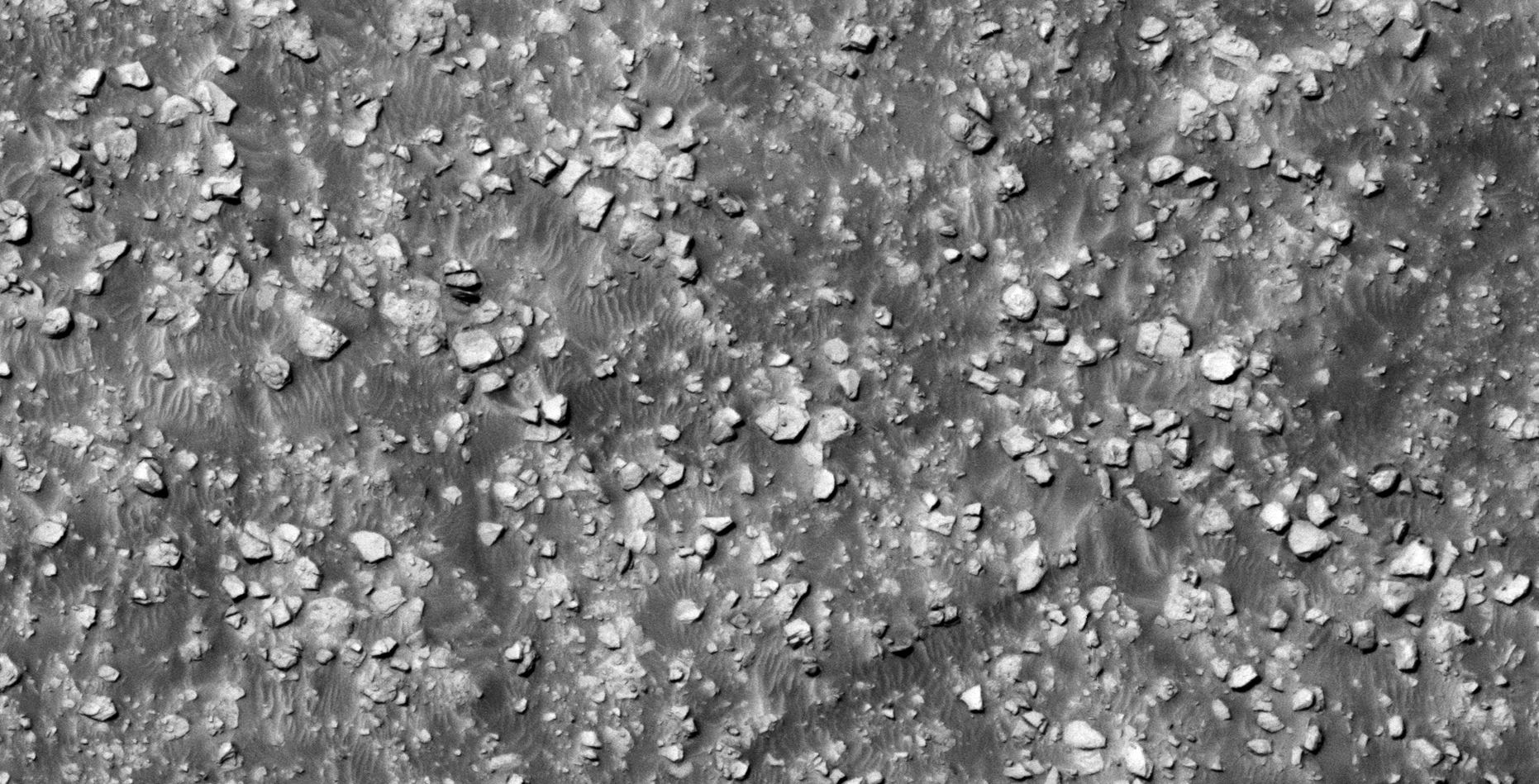
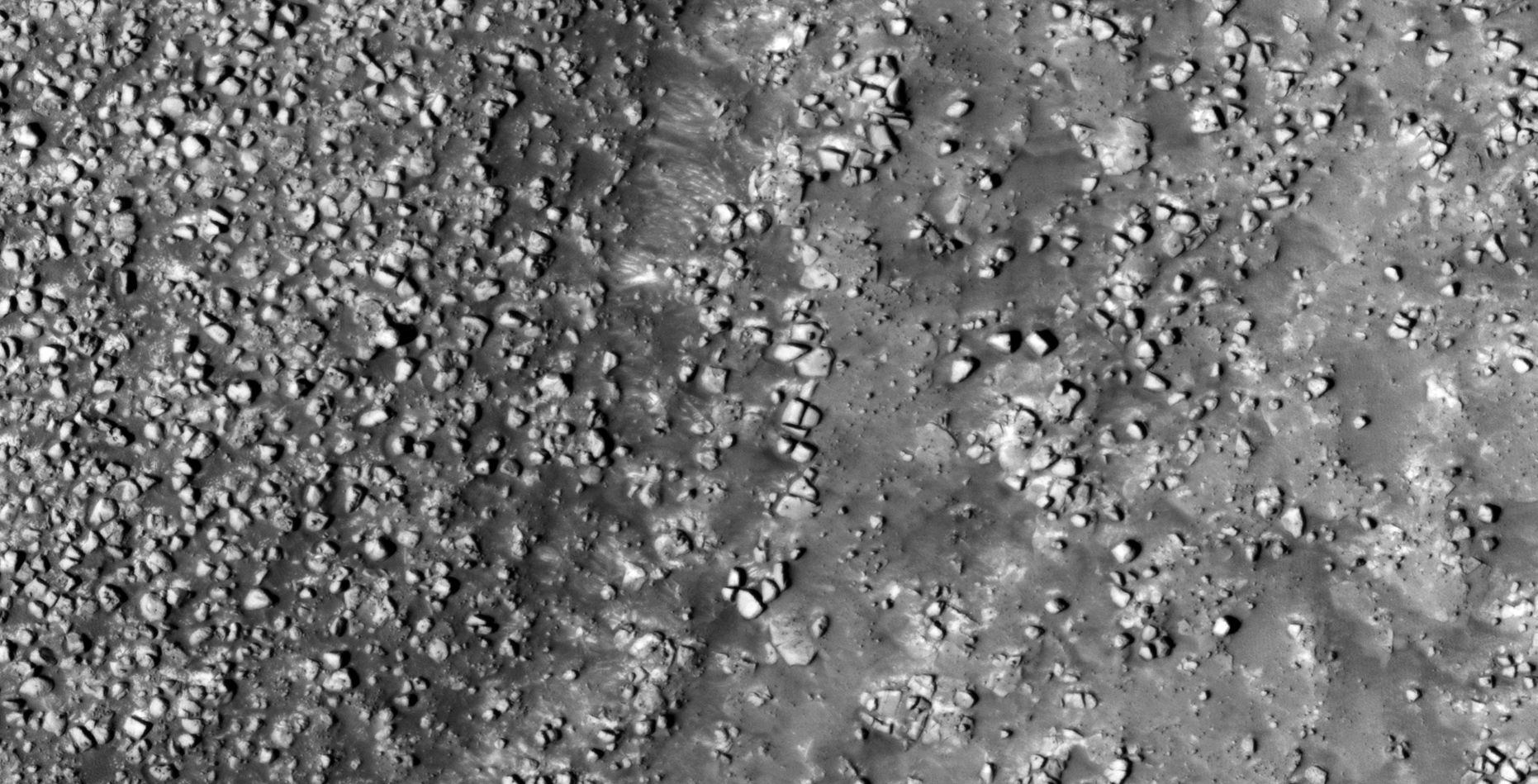
30) Were Megalithic Blocks with Knobs Manufactured on Mars?
The photograph analyzed here (PSP_006516_1385) was taken by NASA’s Mars Reconnaissance Orbiter HiRISE Camera on 17 December 2007. NASA describes the photograph as ‘Hellespontus-Noachis Region Intracrater Deposit.’
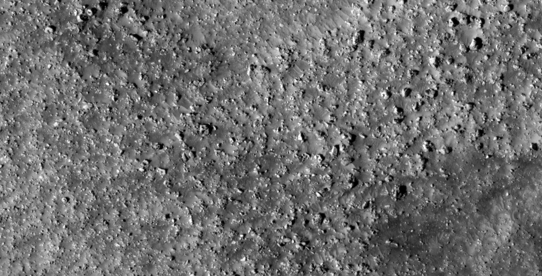
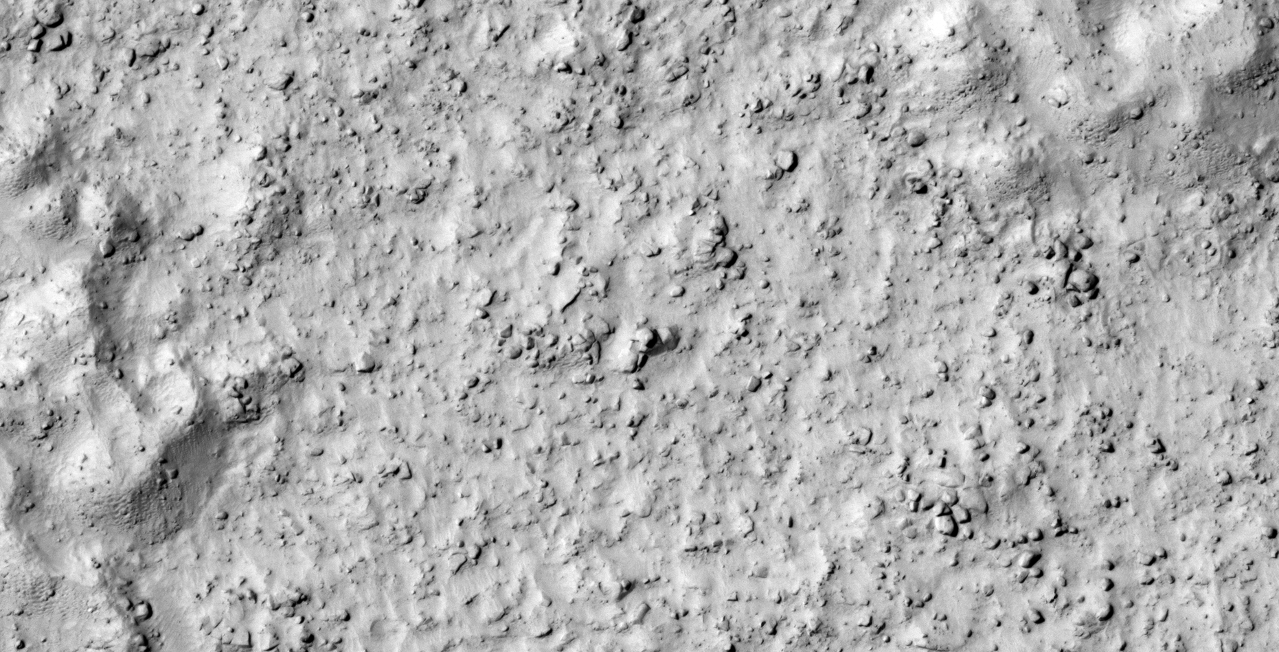
I discovered a vast terrain on Mars littered with what look like megalithic blocks with knobs. Due to the vast number I speculate that this area may have been a large-scale megalithic block manufacturing site otherwise these are remnants of destroyed ancient buildings/structures.
Close examination of the megalithic blocks on Mars show that most have small knobs, not unlike those found on Earth. Researchers studying ancient ruins on Earth are perplexed about the presence of the knobs found on most megaliths making up these ancient structures.
Blog Post: https://mars.raptorzone.co.za/2018/06/04/megalithic-blocks-with-knobs-manufactured-on-mars/
NASA Source: https://www.uahirise.org/PSP_006516_1385
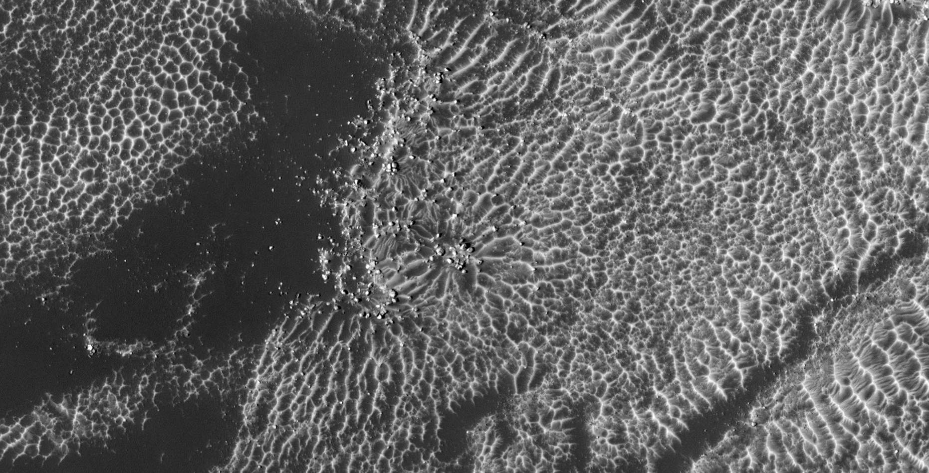
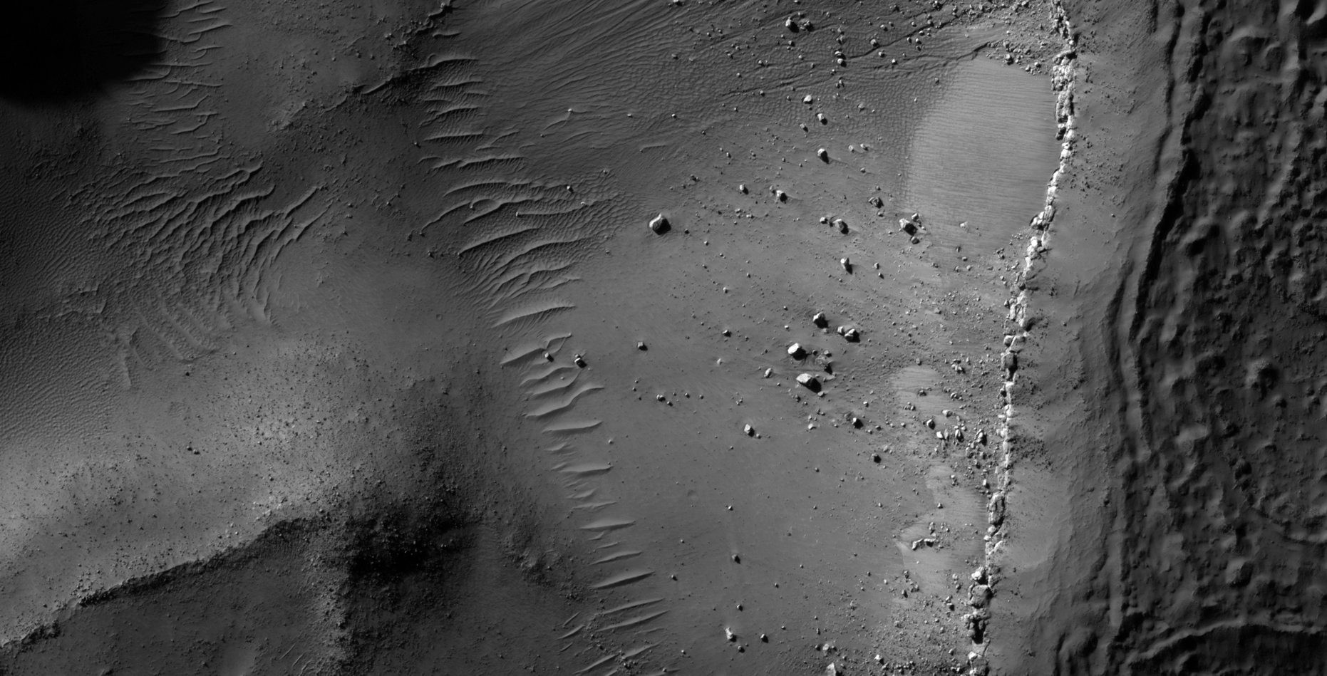
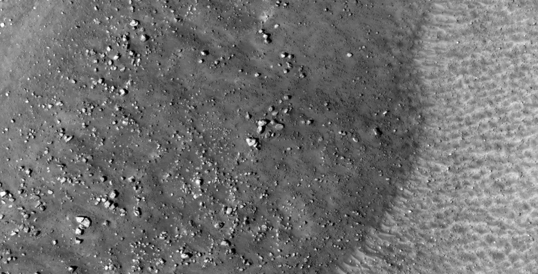
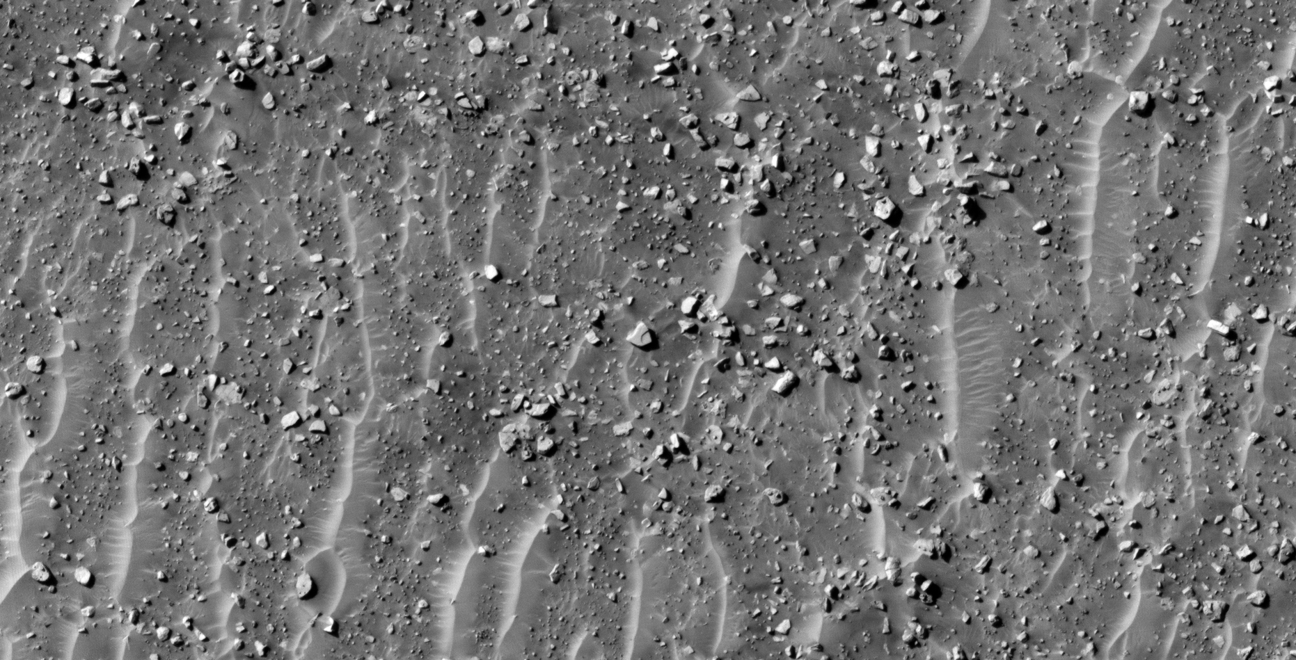
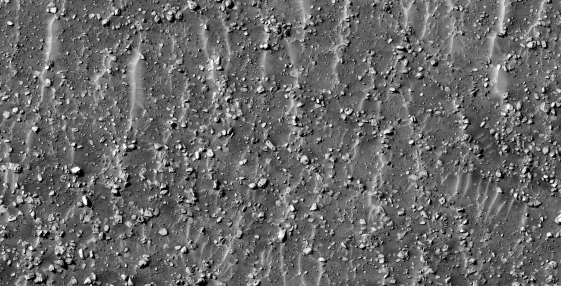
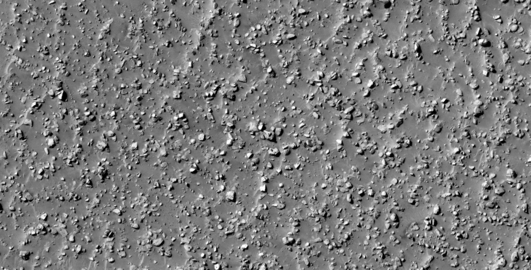
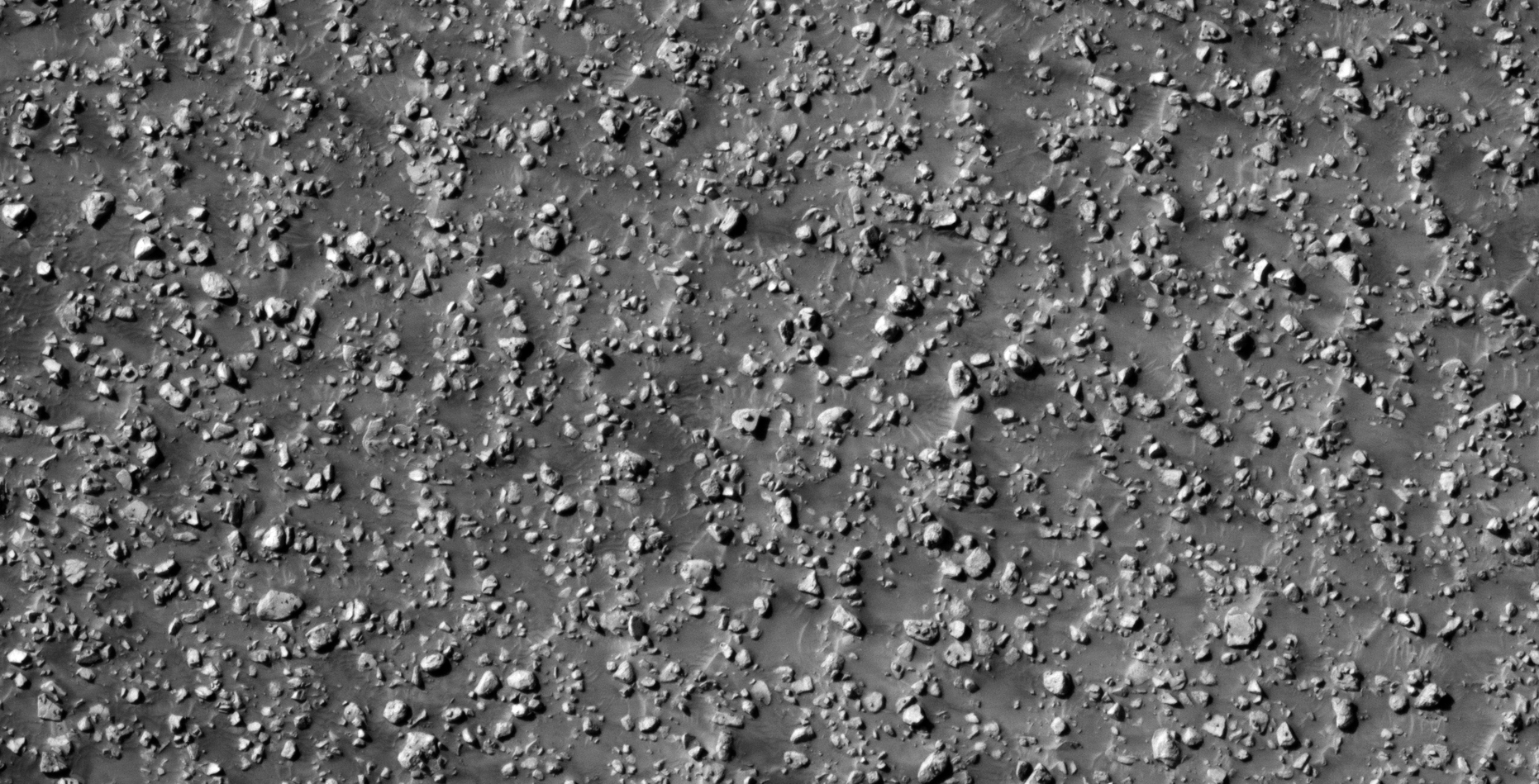
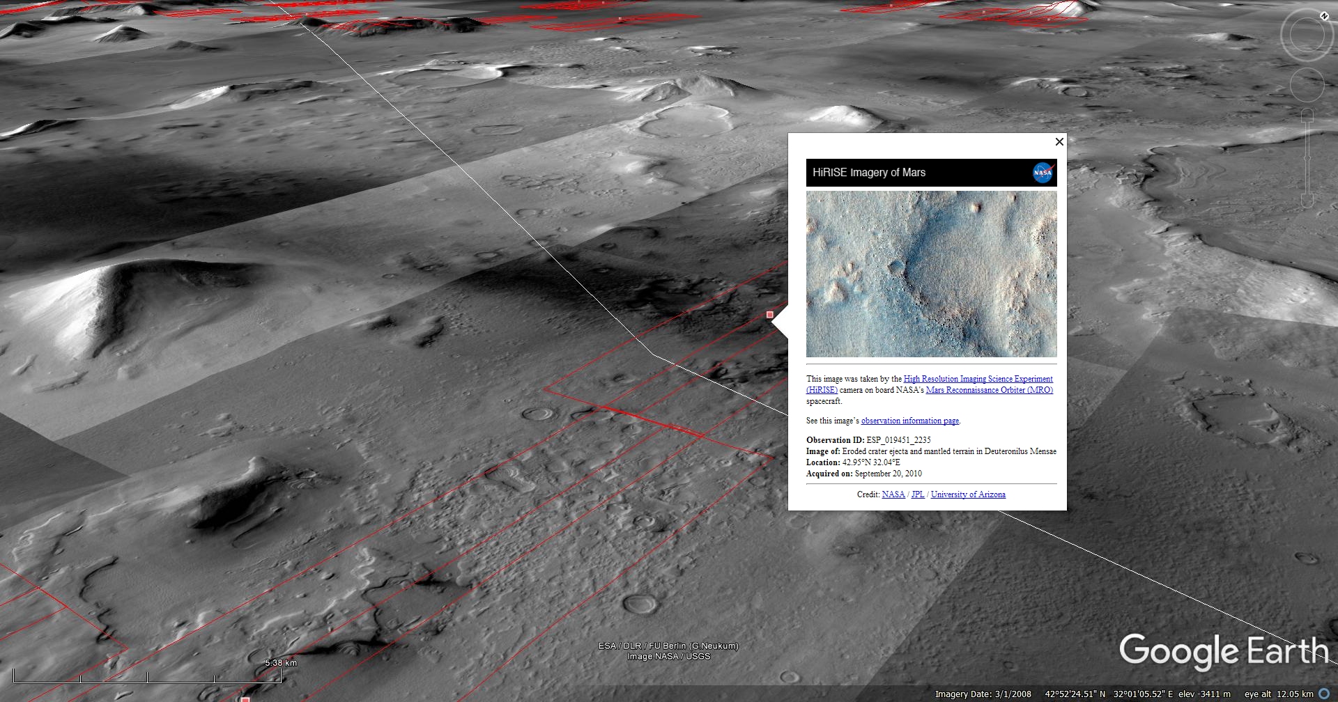
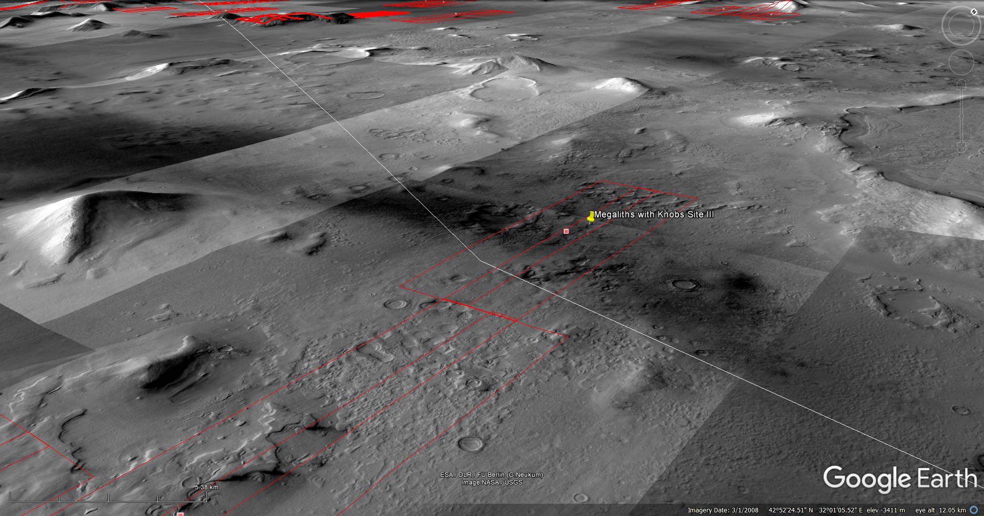
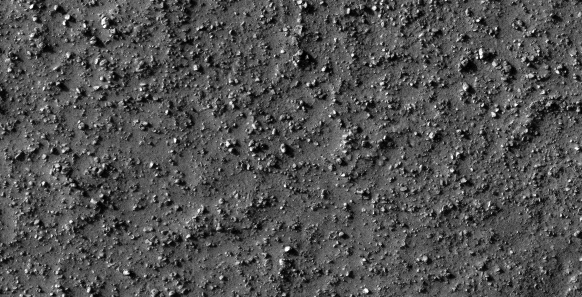
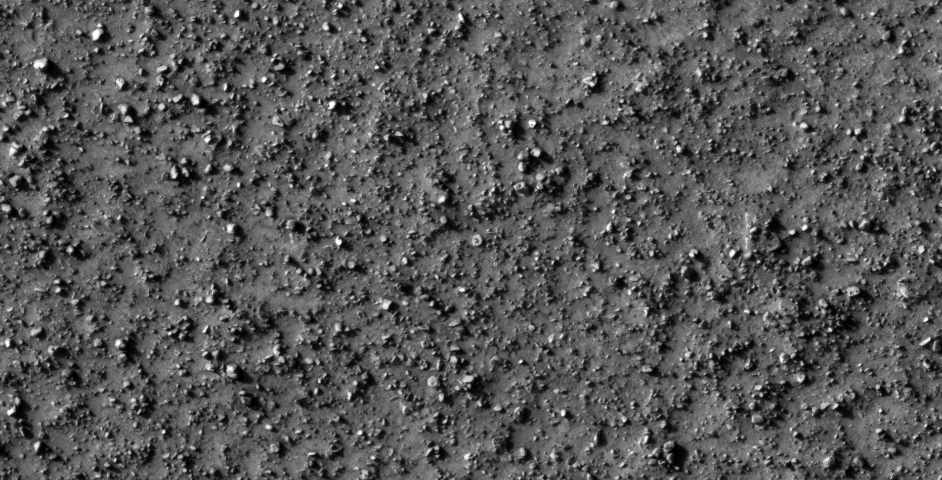
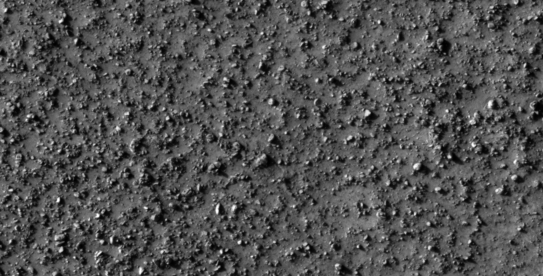
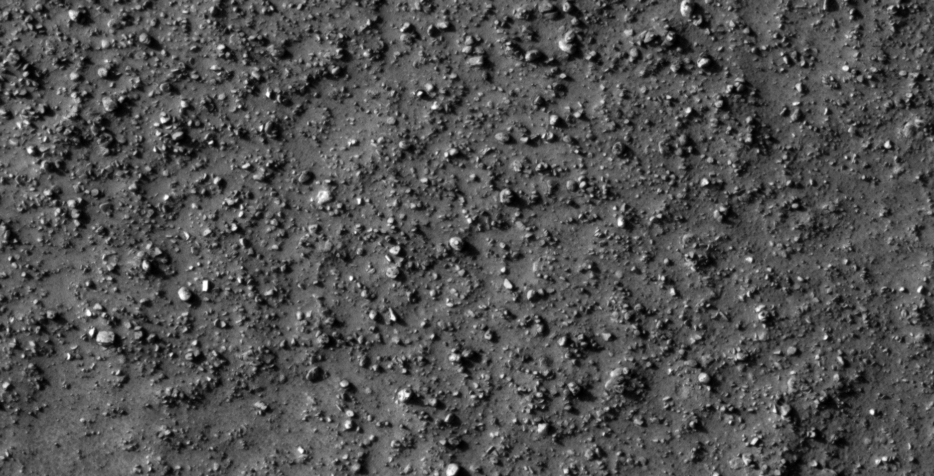
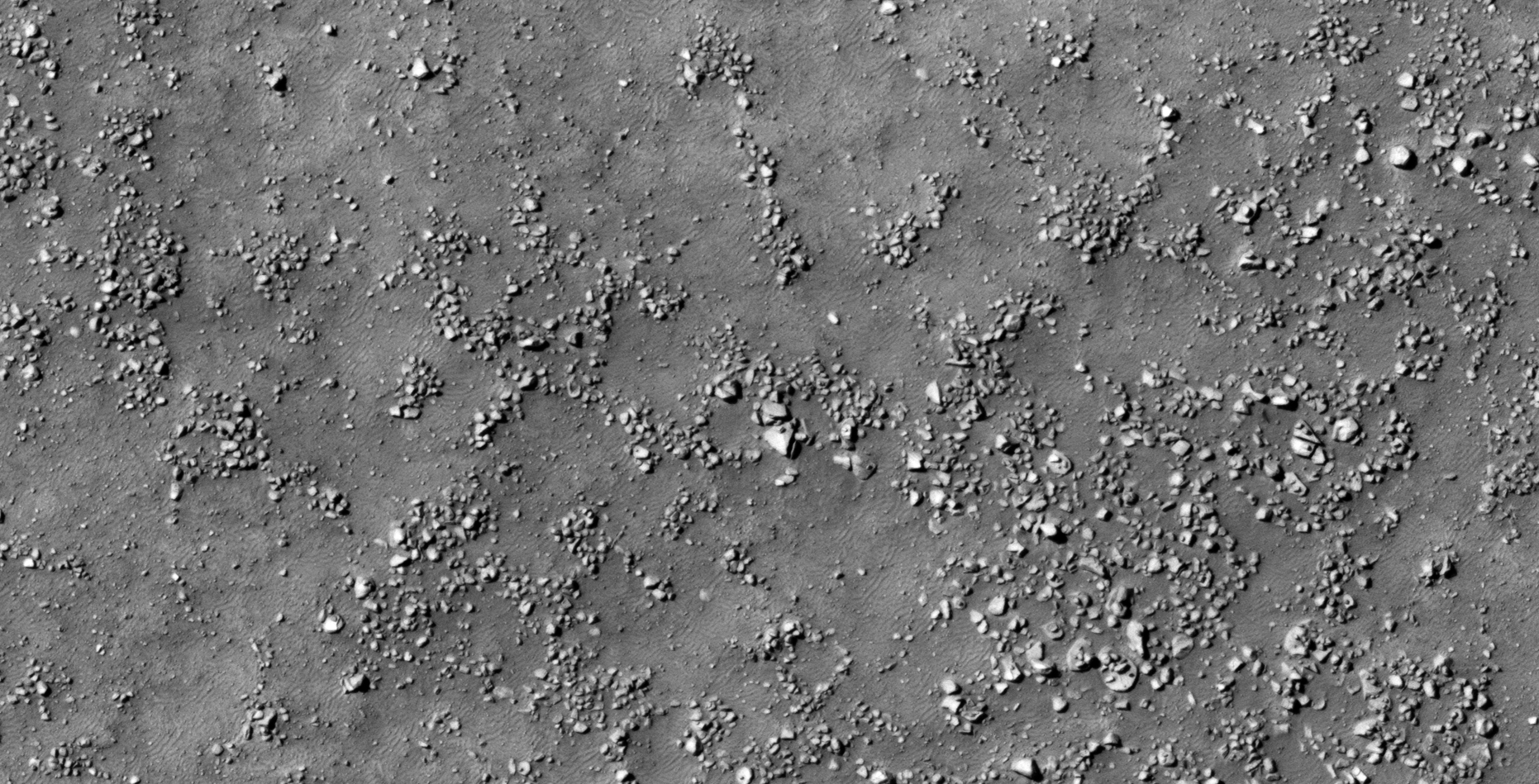
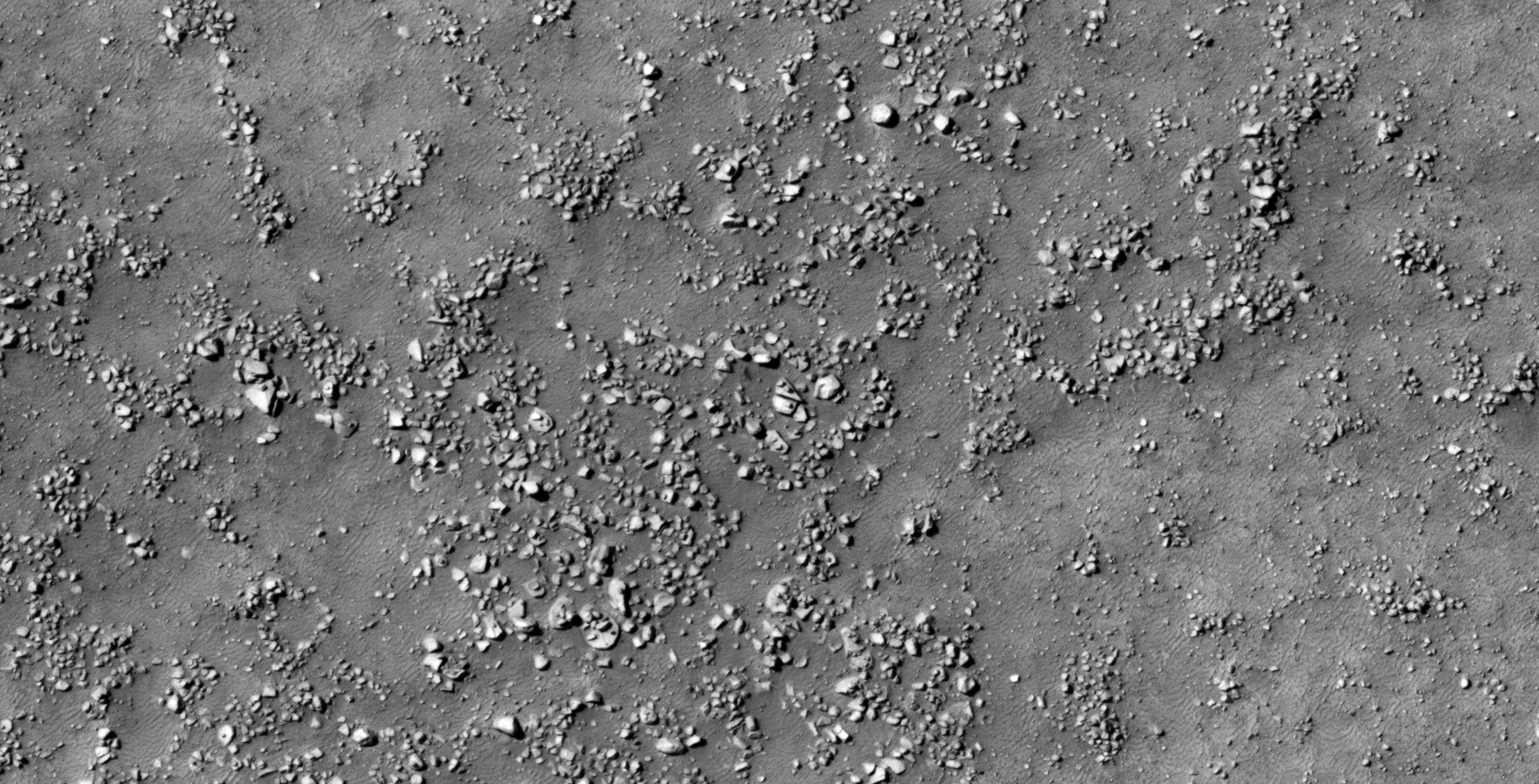
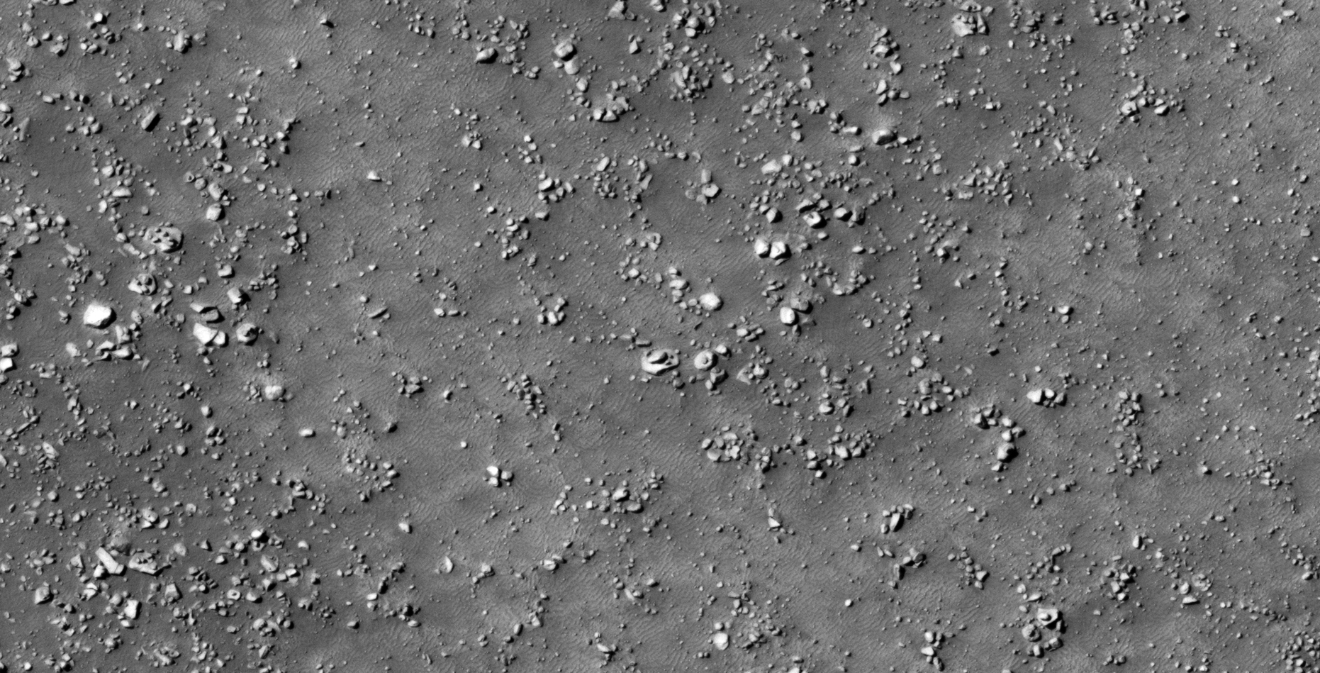
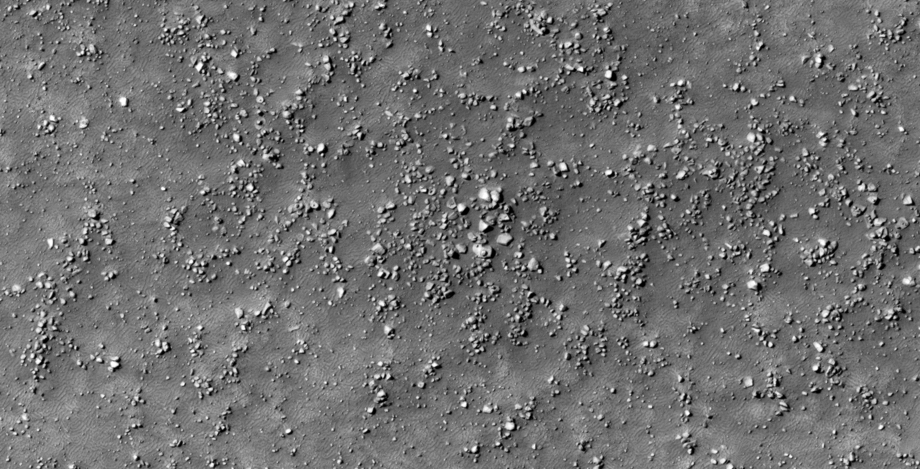
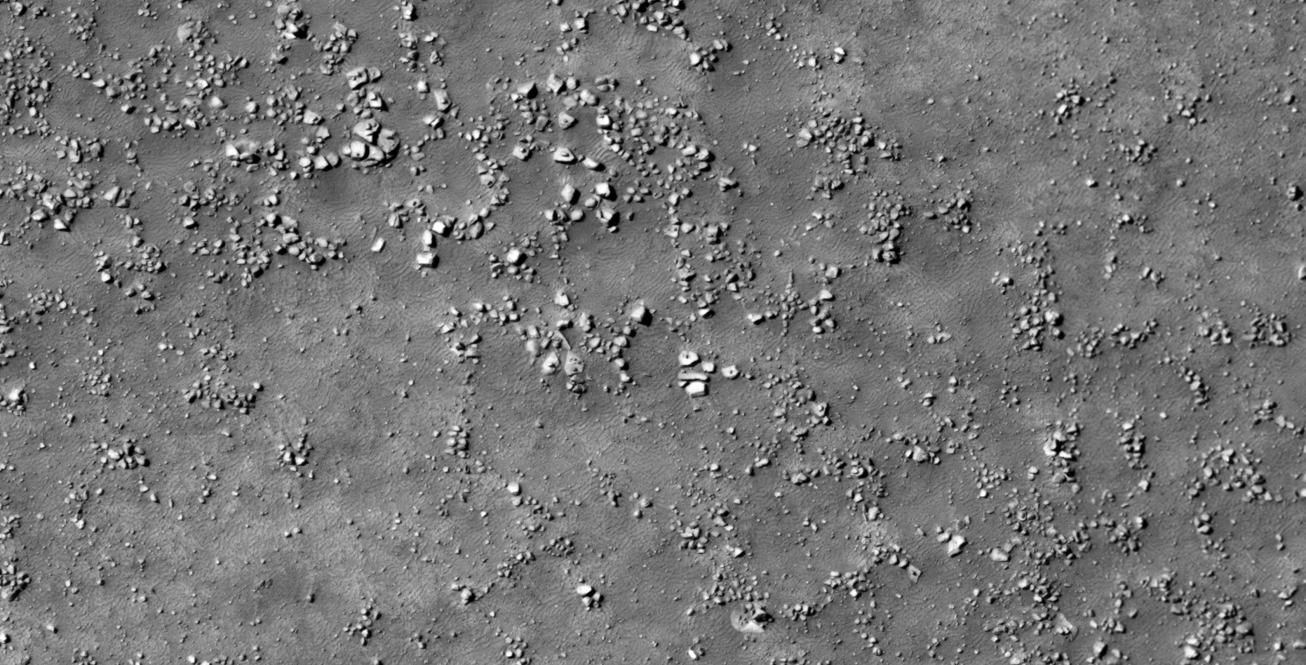
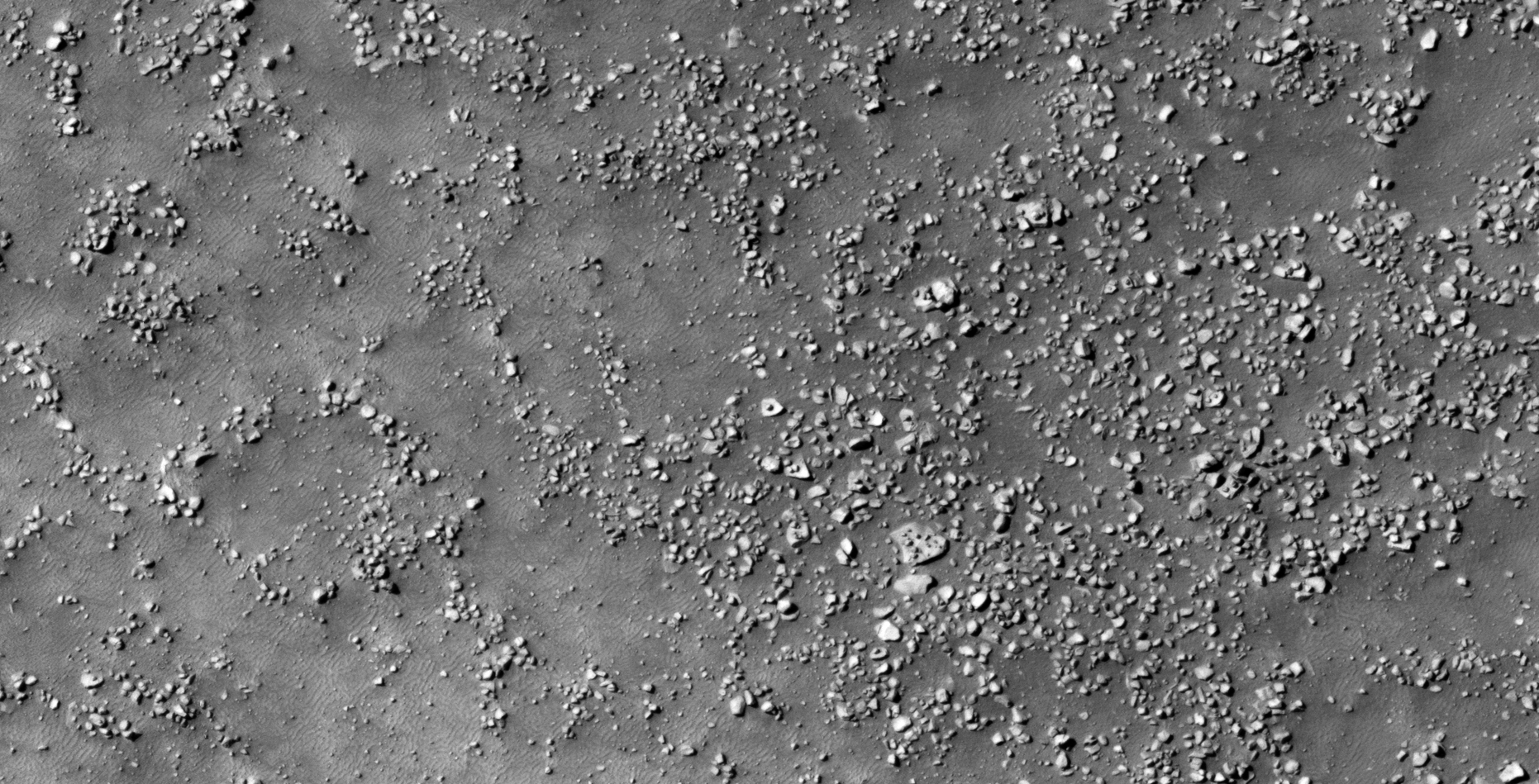
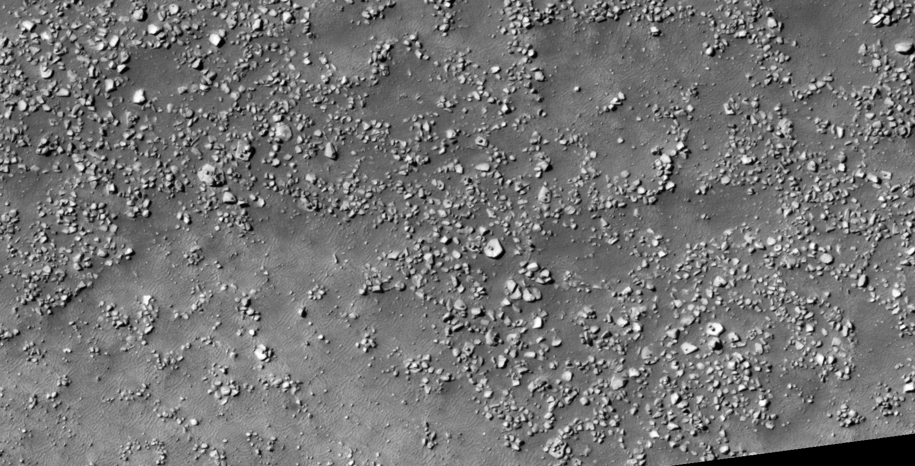
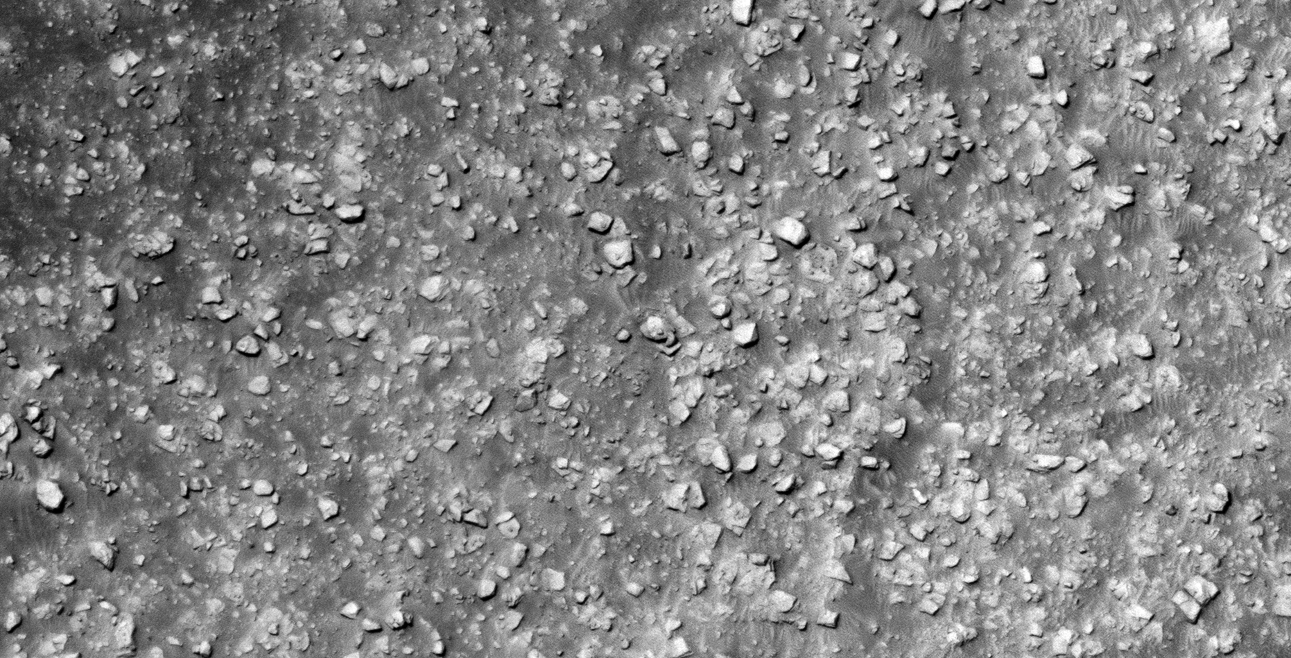
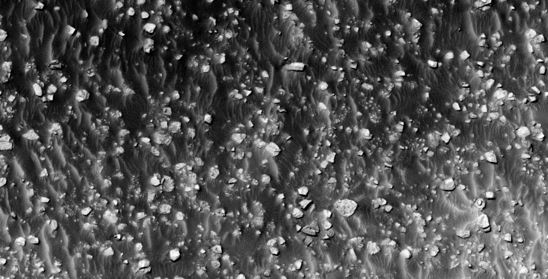
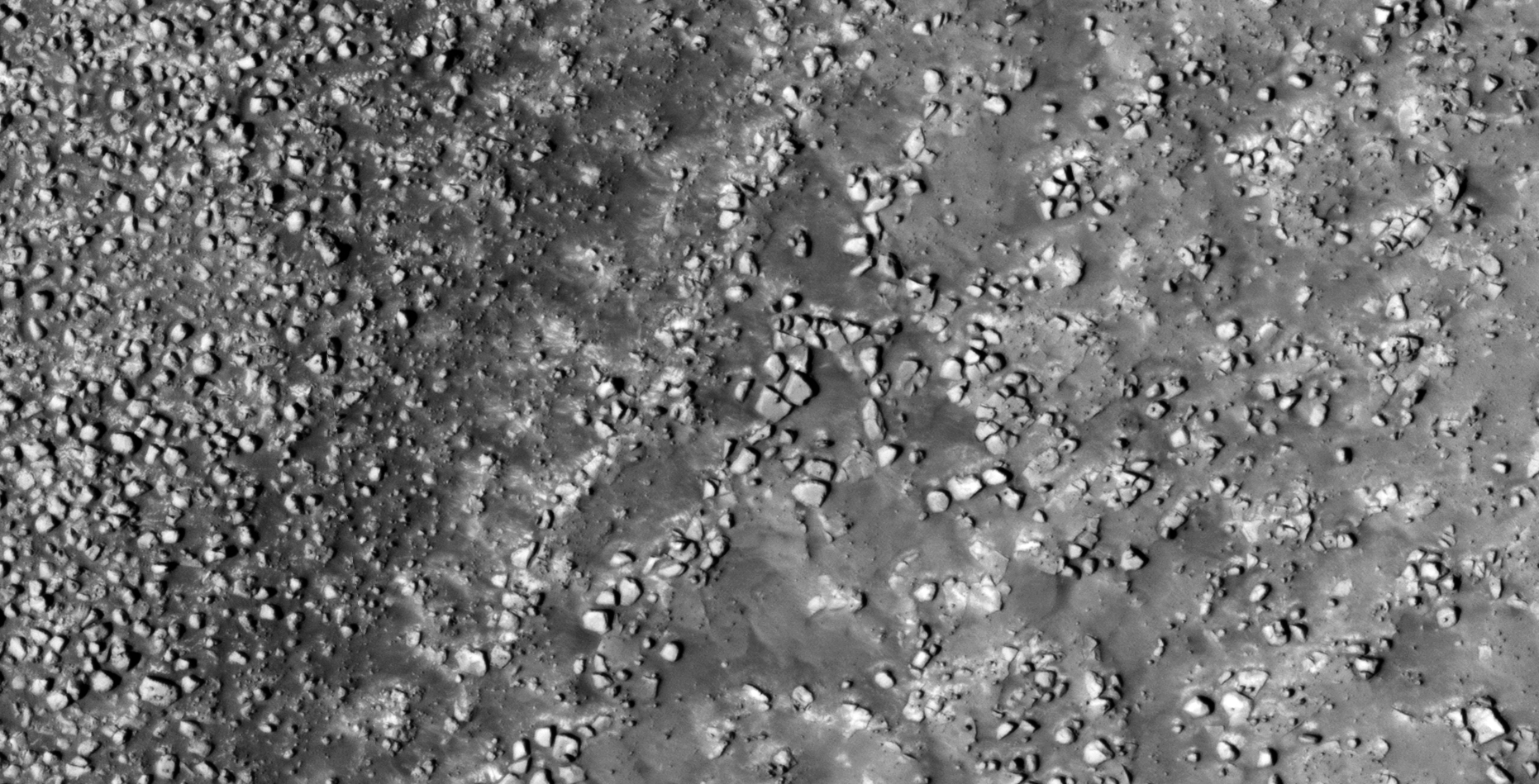
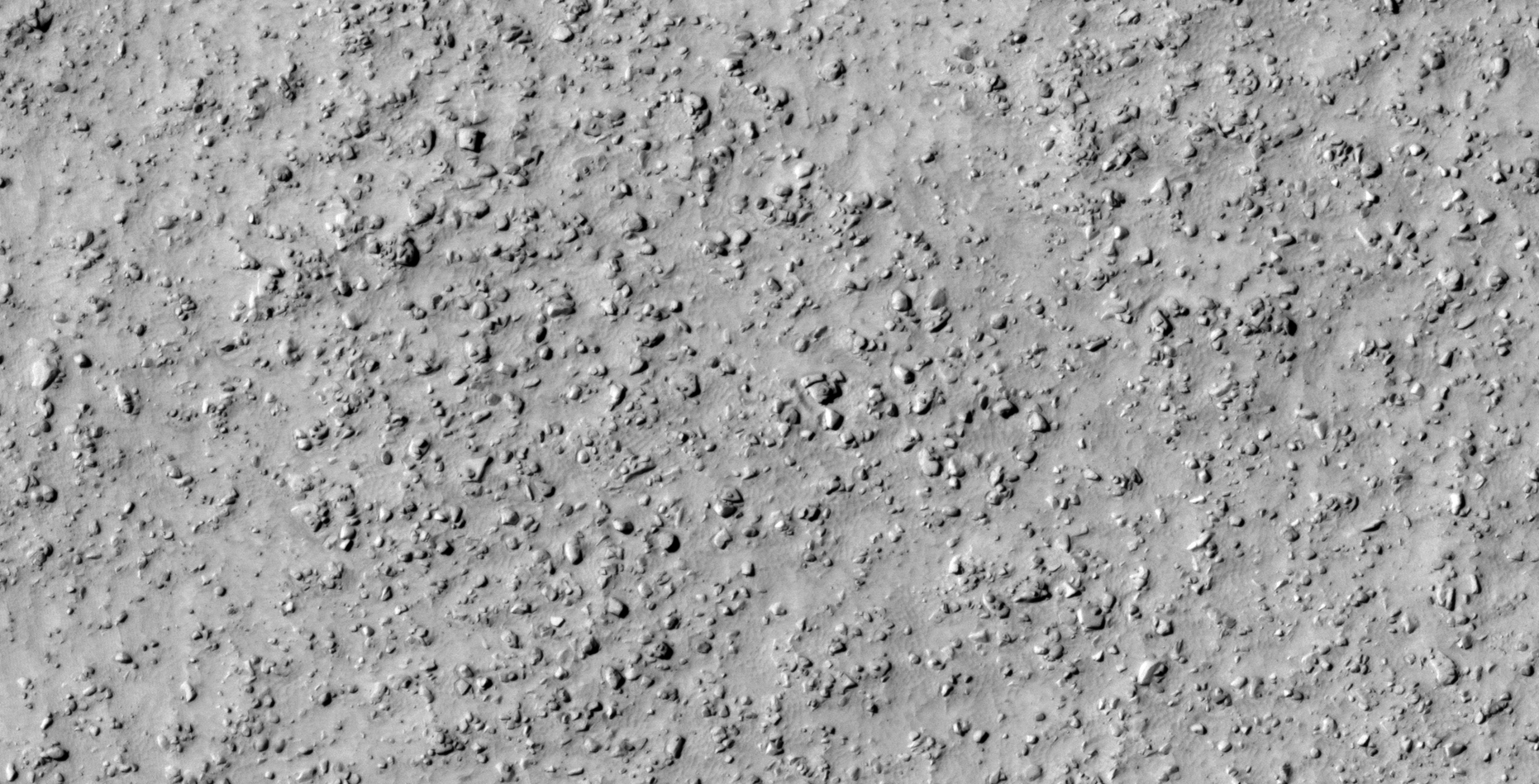
31) More Megalithic Ruins Found on Mars?
The photograph analyzed here (ESP_019451_2235) was taken by NASA’s Mars Reconnaissance Orbiter HiRISE Camera on 20 September 2010. NASA describes the photograph as ‘Eroded Crater Ejecta and Mantled Terrain in Deuteronilus Mensae.’
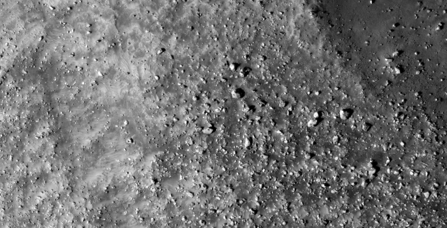
I discovered another vast terrain on Mars littered with what look like megalithic blocks with knobs. Due to the vast number I speculate that ancient buildings/structures were built here and that some devastating event destroyed them in the distant past.
Megalithic ruins such as these and those featured in my previous Blog Post’s and YouTube video’s seem to indicate this was the preferred building style of the ancient civilization/s that once thrived on Mars.
Blog Post: https://mars.raptorzone.co.za/2018/06/08/more-megalithic-ruins-found-on-mars/
NASA Source: https://www.uahirise.org/ESP_019451_2235
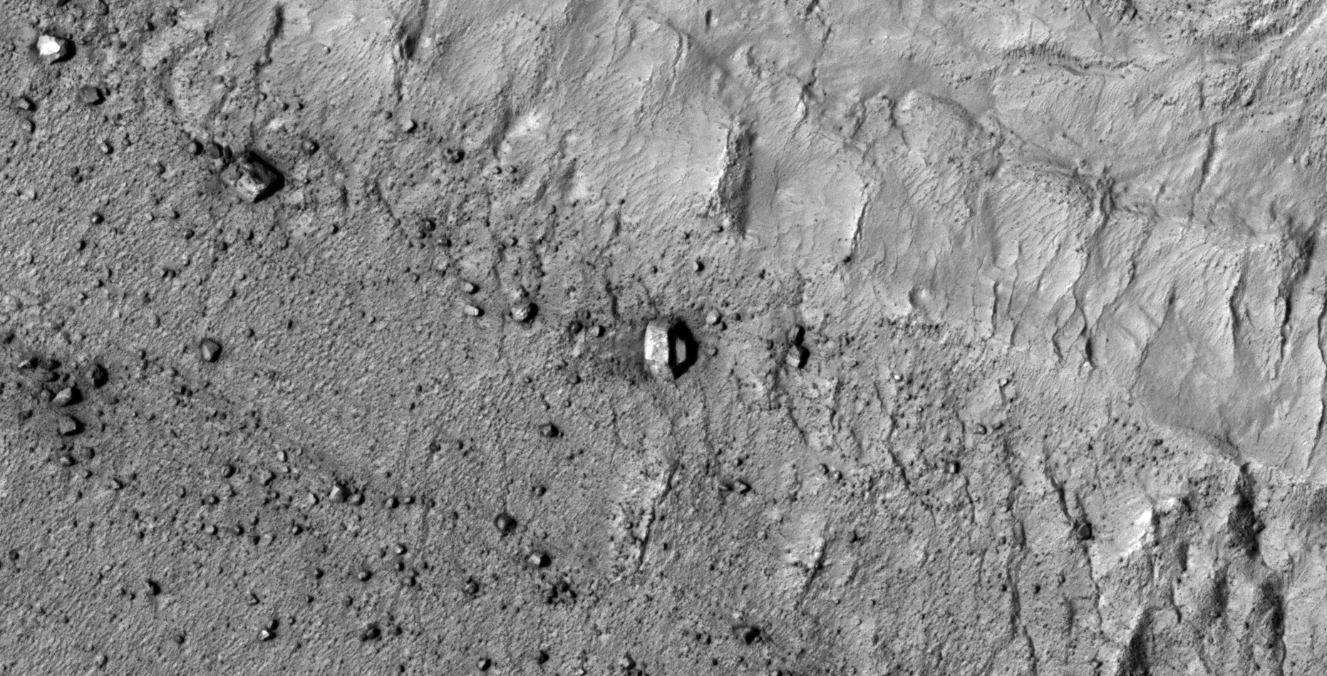
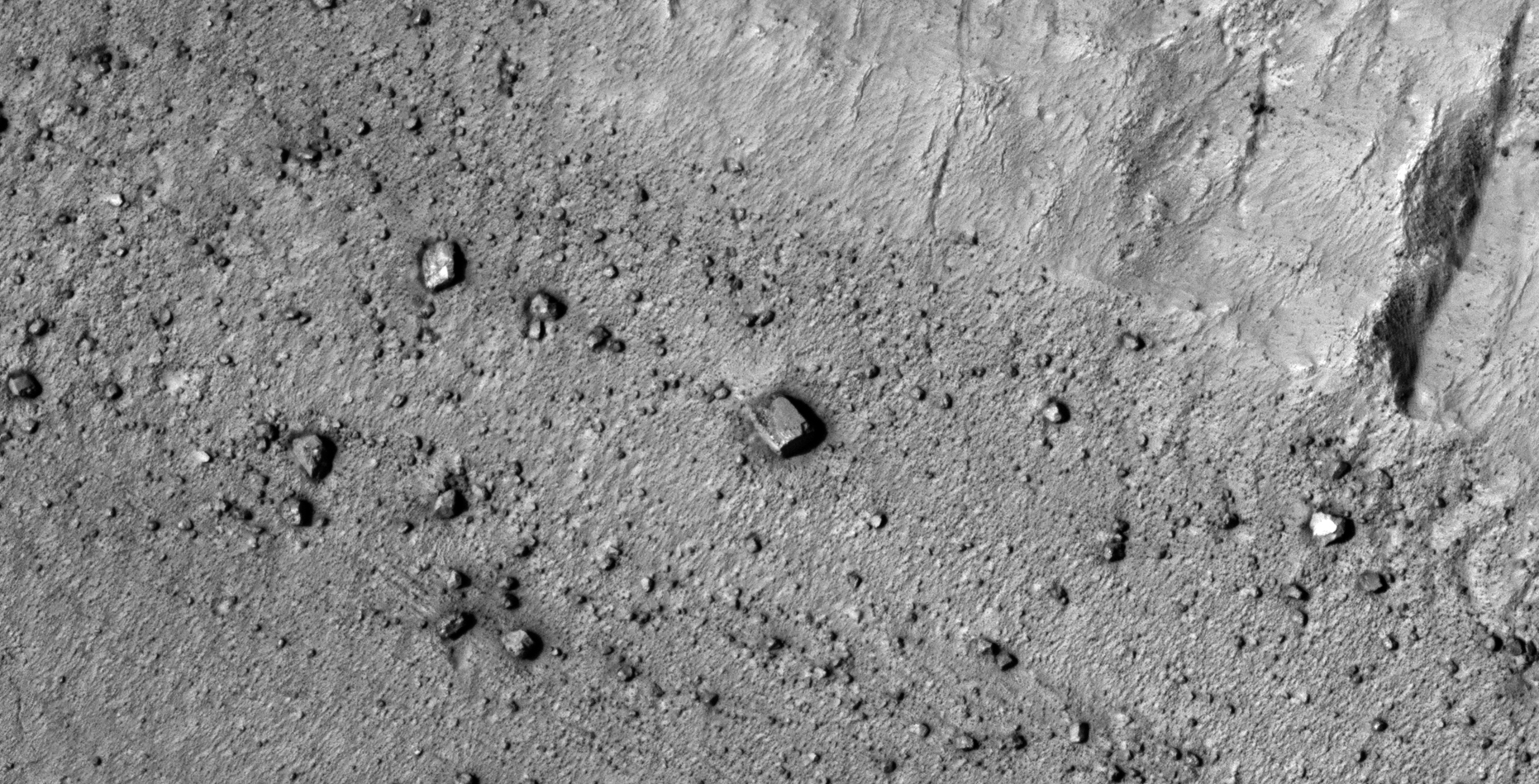
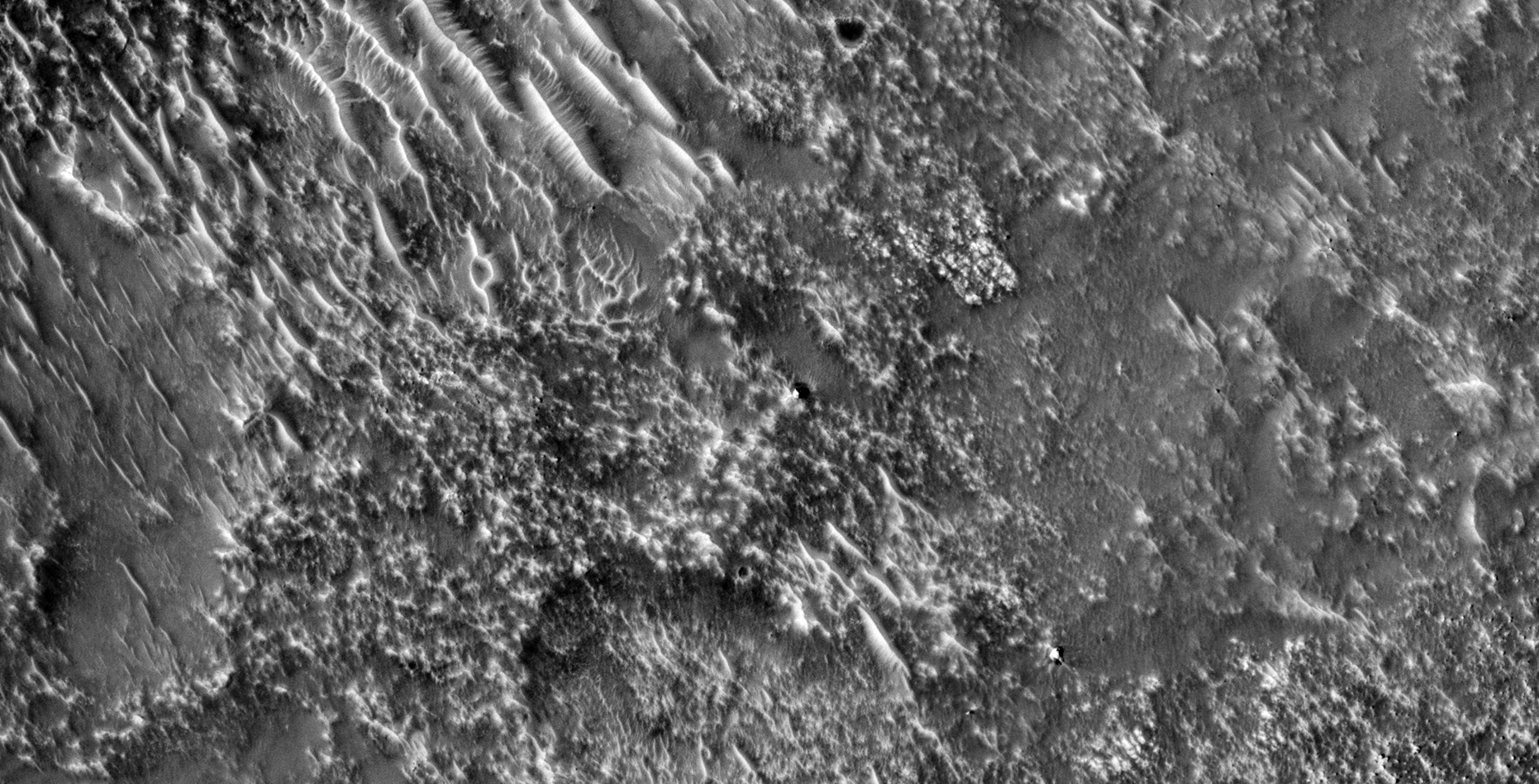
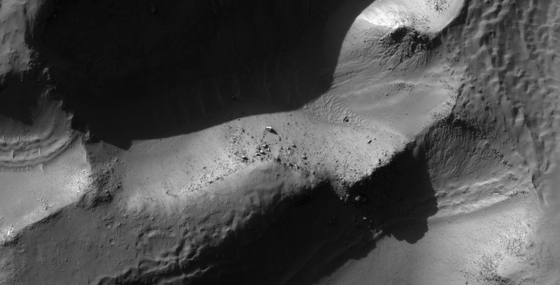
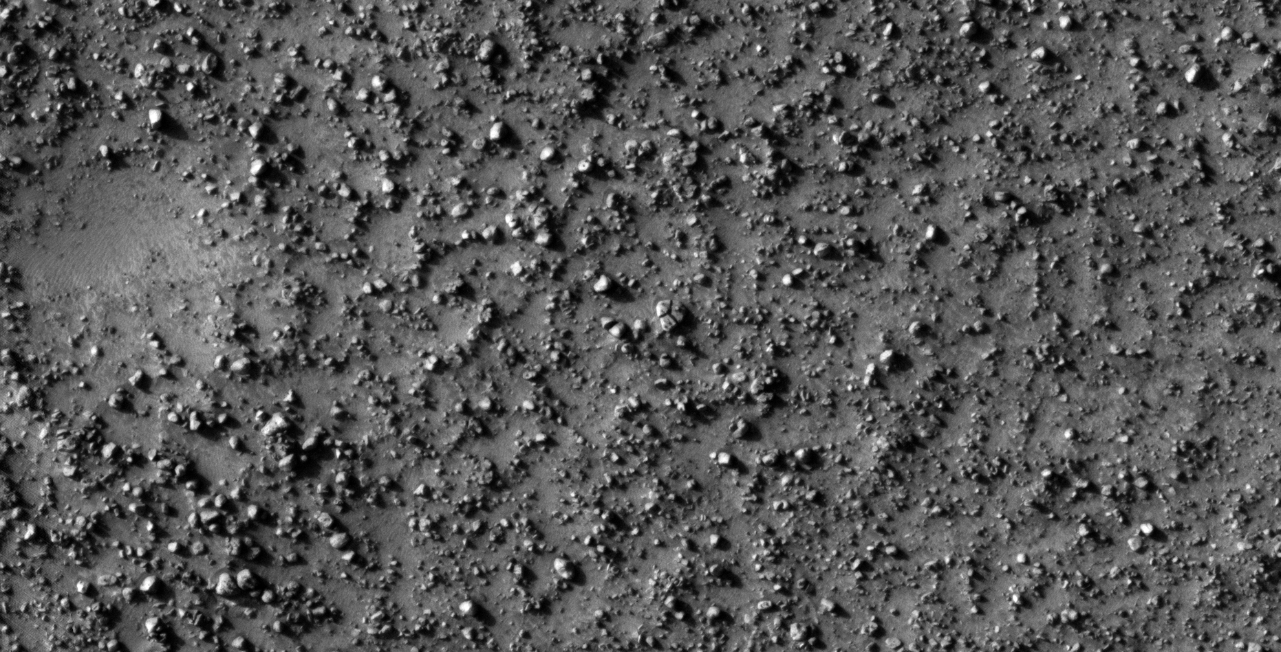
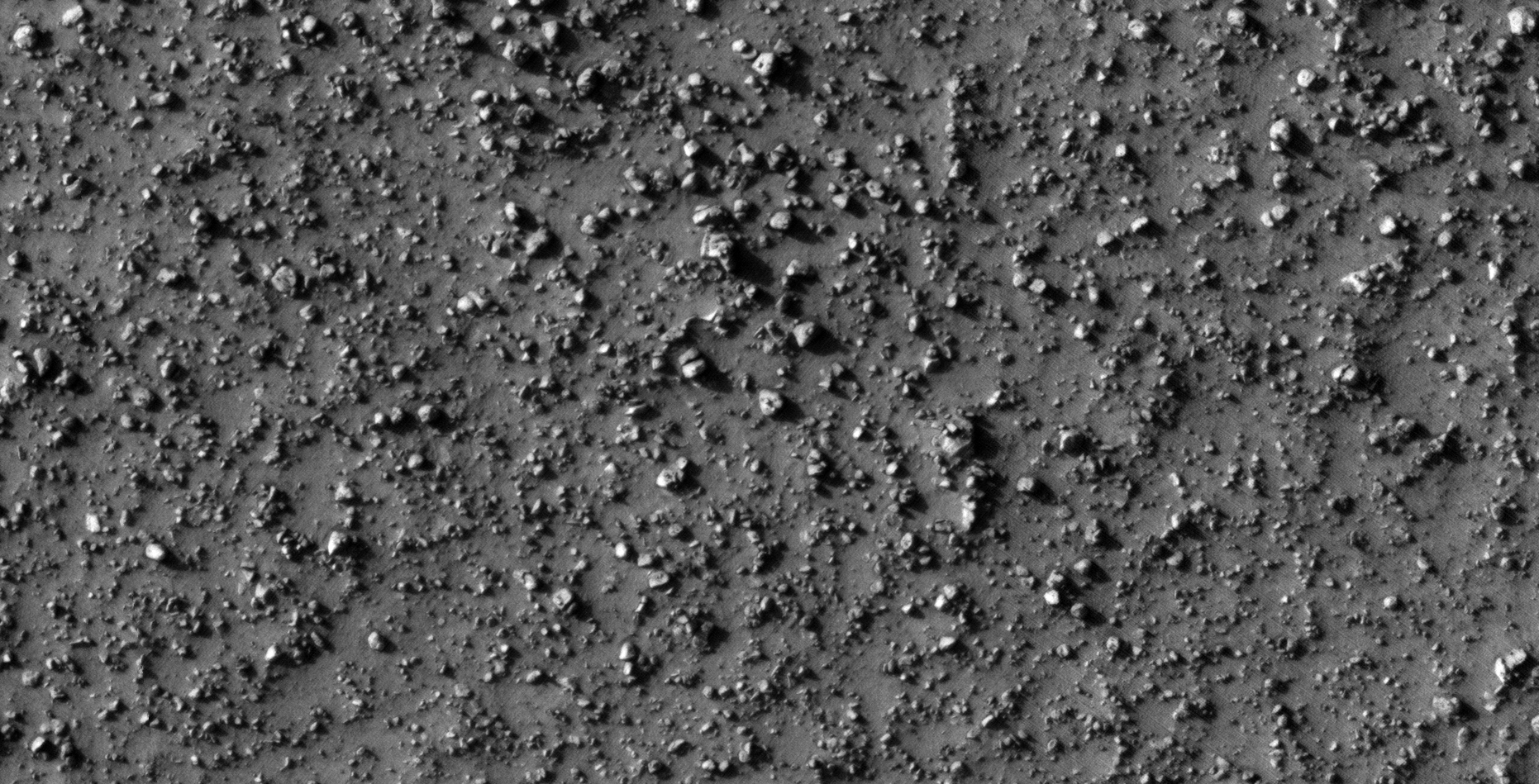
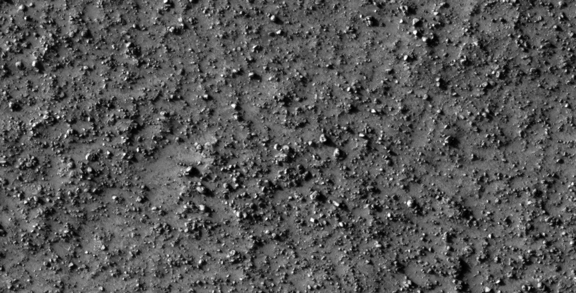
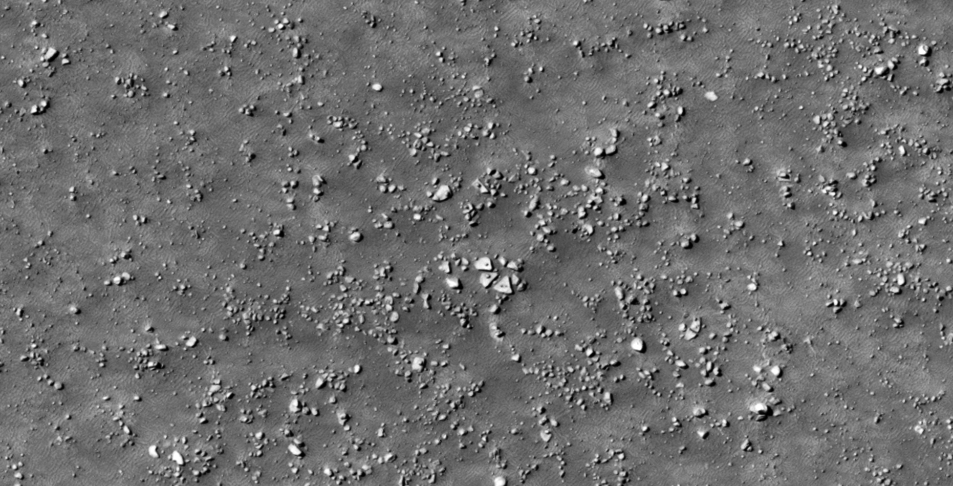
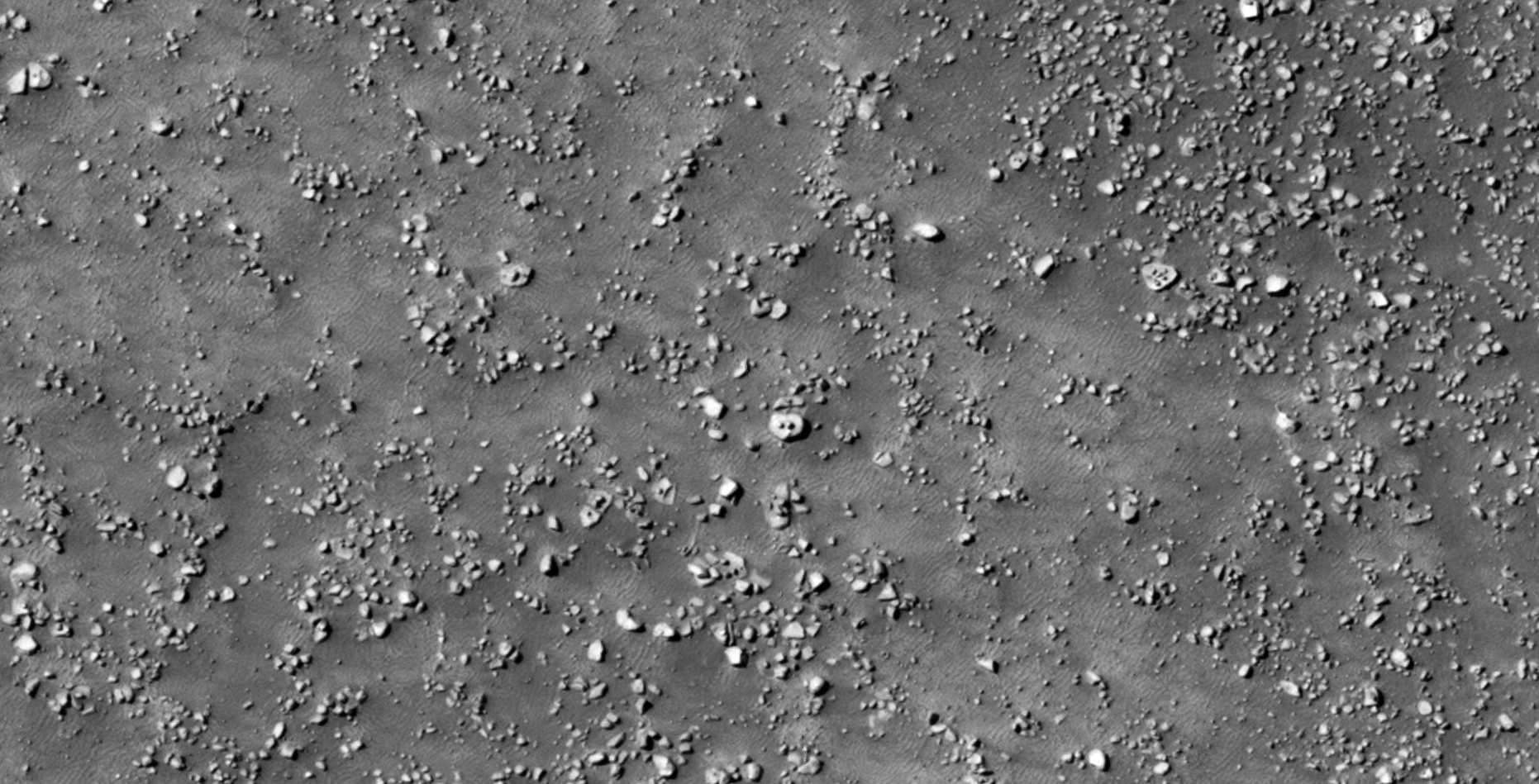
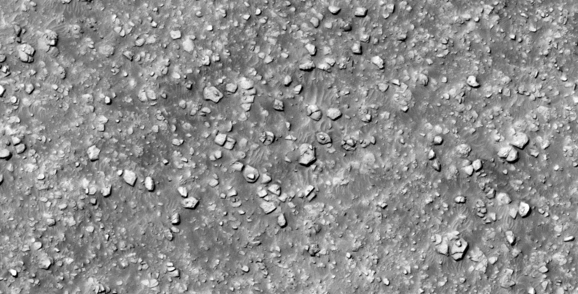
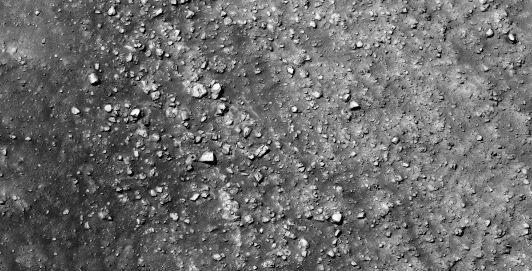
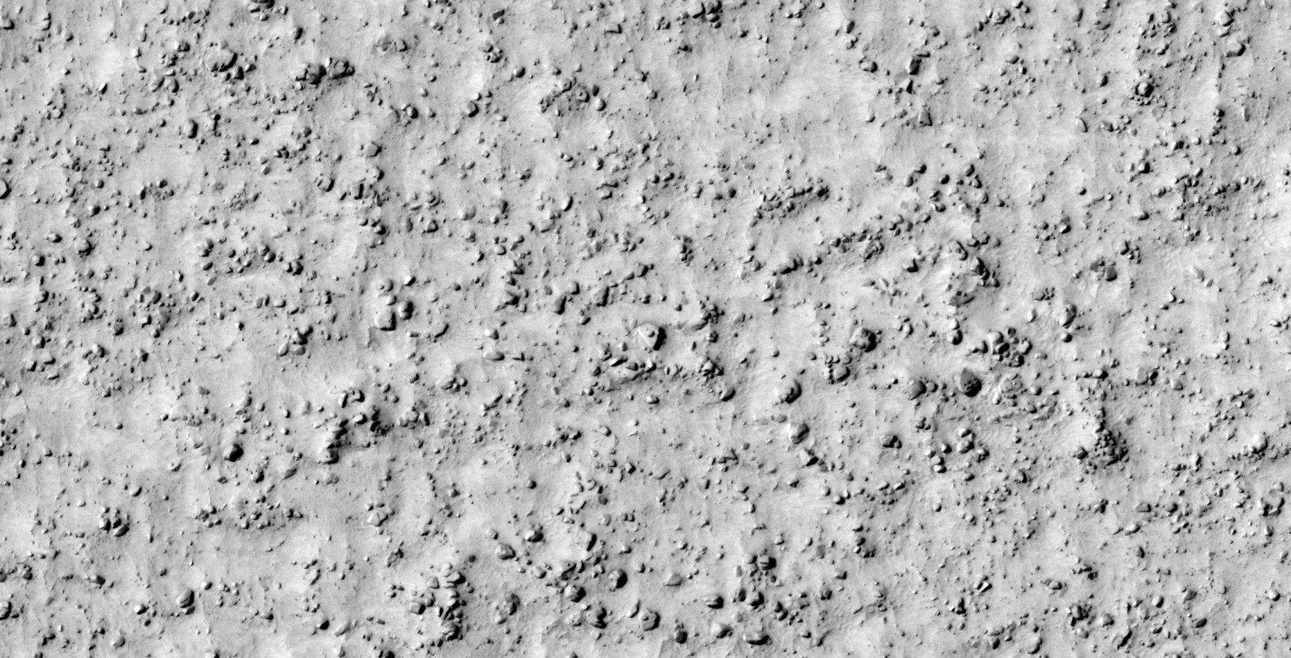
32) Another Huge Megalithic-Block Found on Mars
The photograph analyzed here (ESP_023234_2095) was taken by NASA’s Mars Reconnaissance Orbiter HiRISE Camera on 11 July 2011. NASA describes the photographs as ‘Olivine-Rich Terrain in Nilosyrtis Region.’
I discovered what looks like another partially buried, large megalithic-block on Mars (approximately 8 metres wide). I further speculate that this block was part of a retaining wall similar to those found in Asimov Crater.
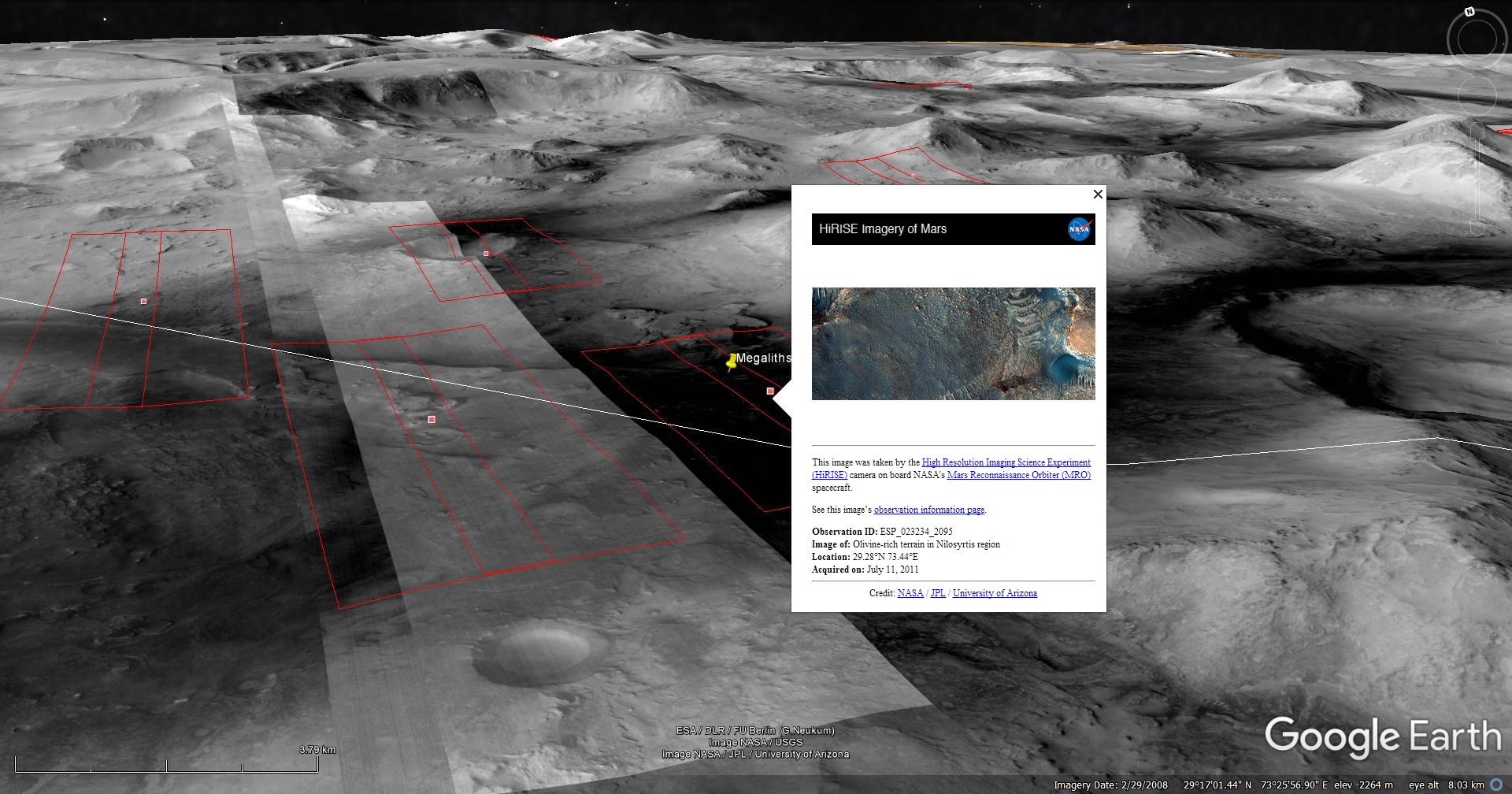
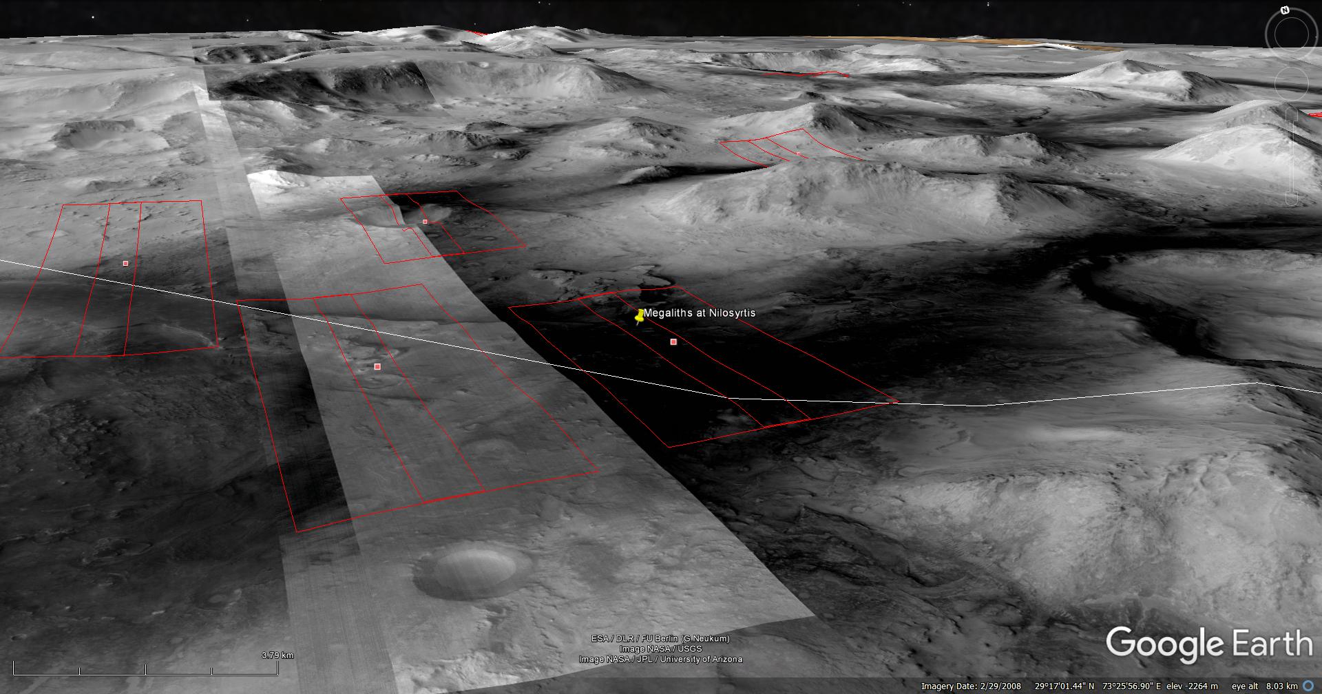
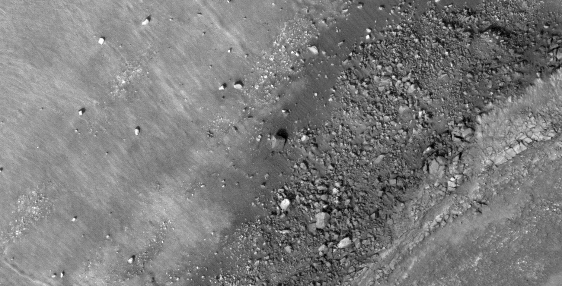
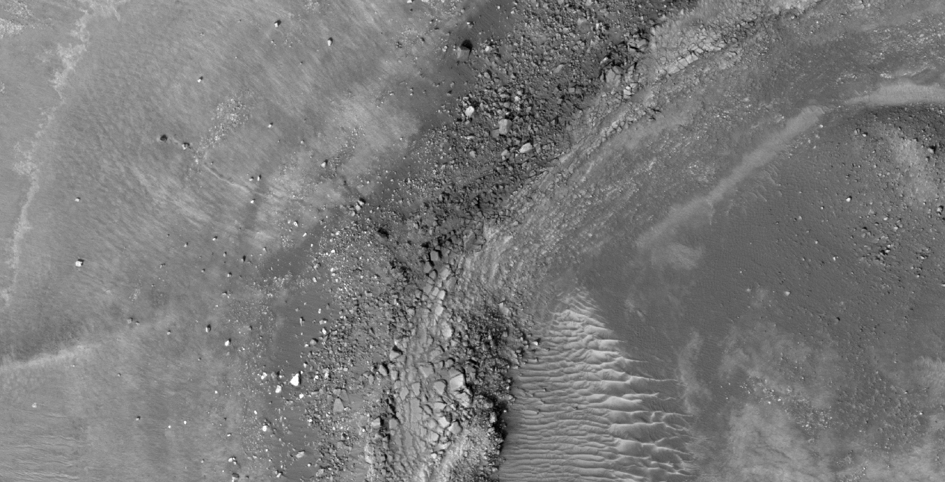
Blog Post: https://mars.raptorzone.co.za/2018/06/14/another-huge-megalithic-block-found-on-mars/
NASA Source: https://www.uahirise.org/ESP_023234_2095
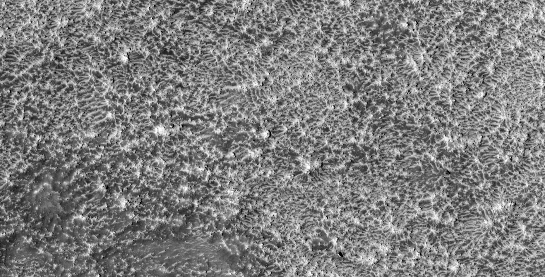
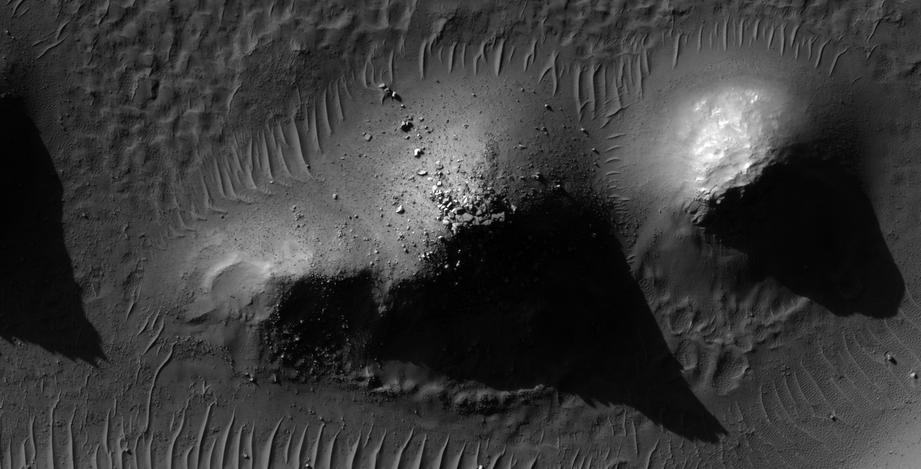
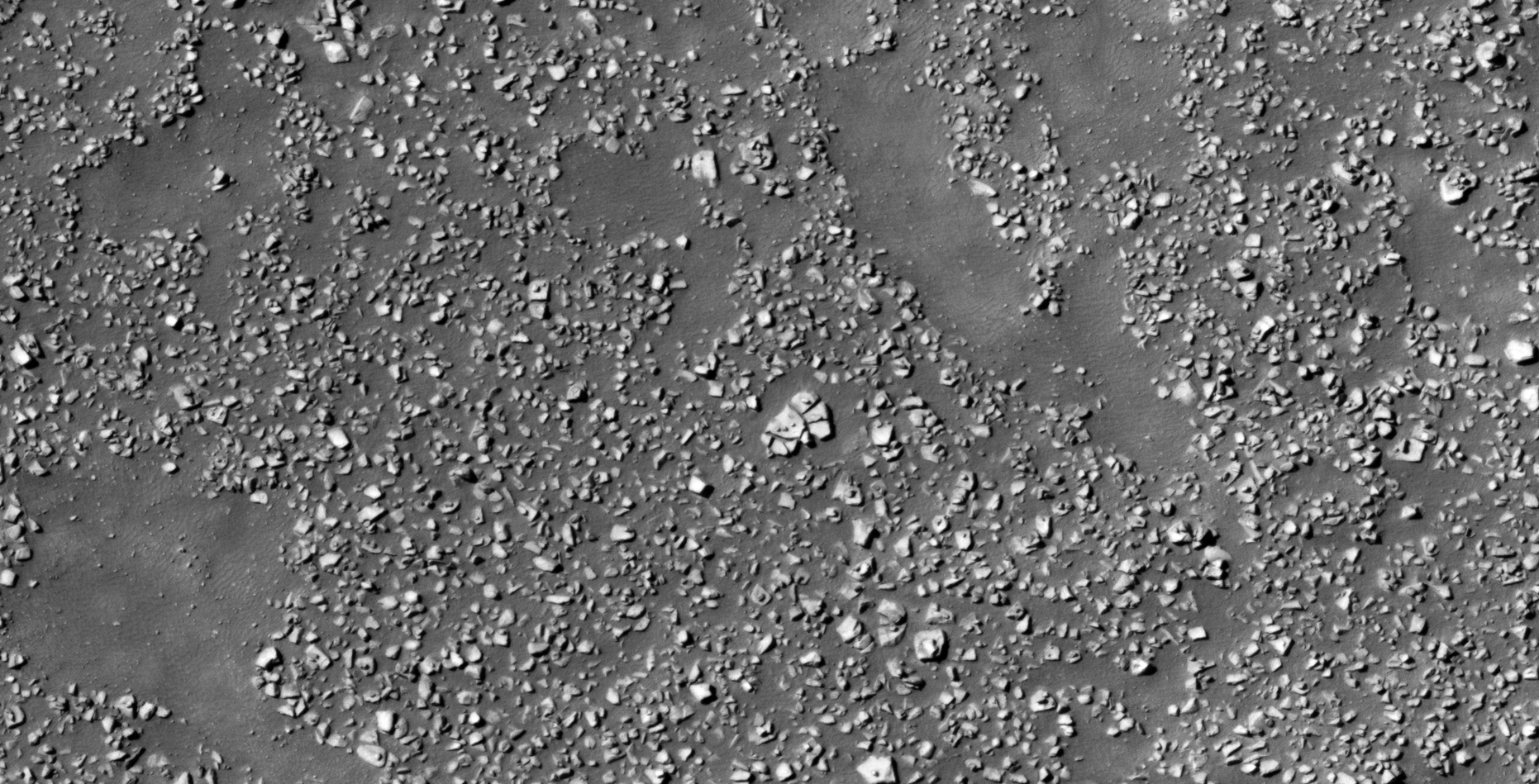
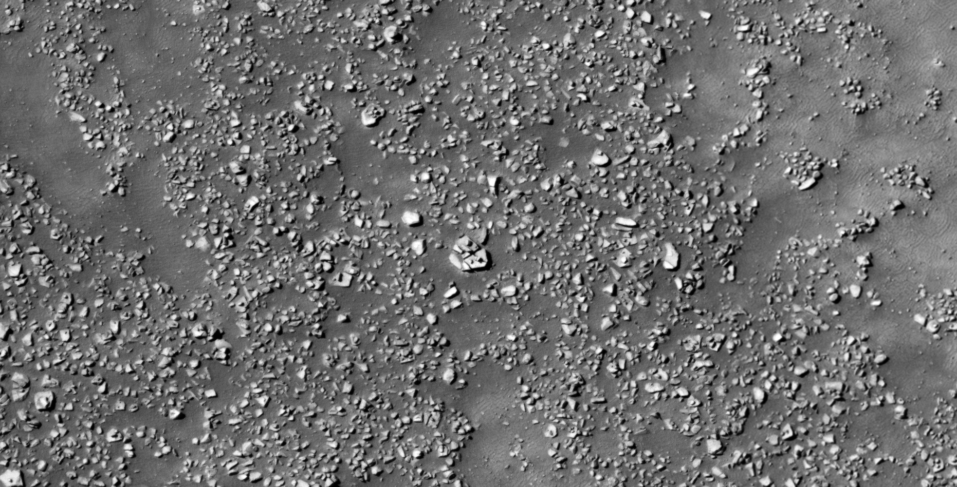
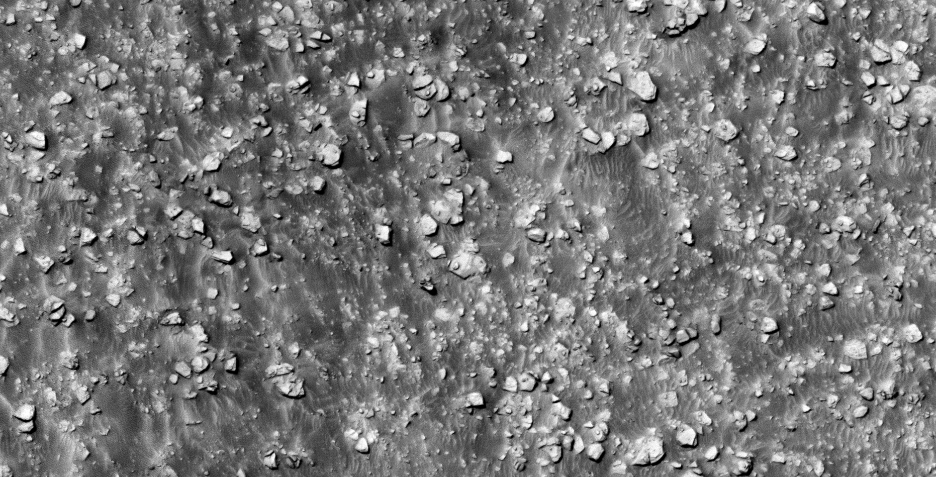
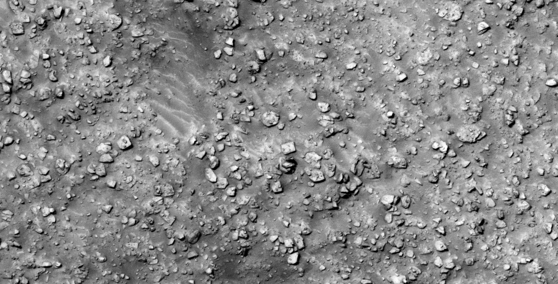
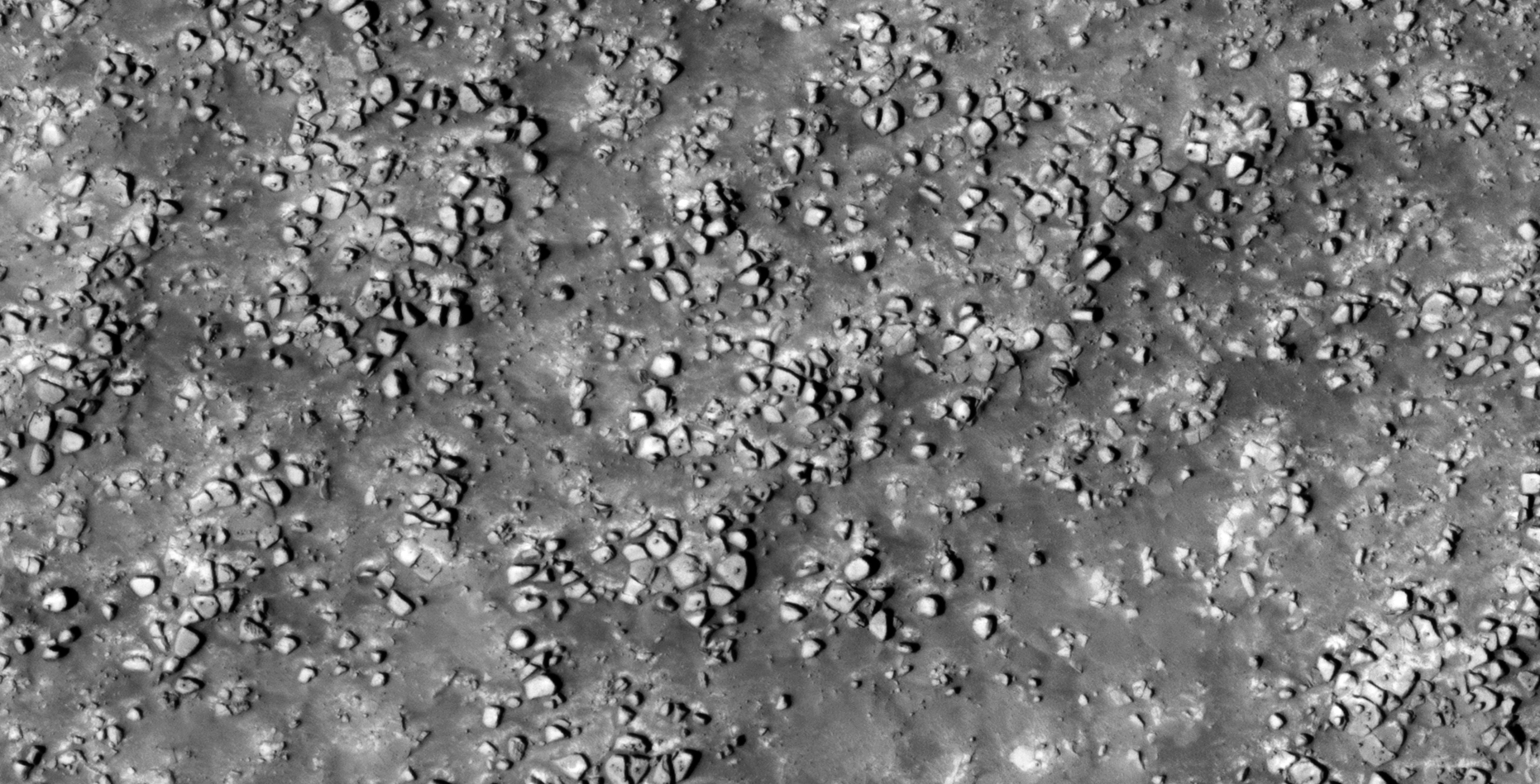
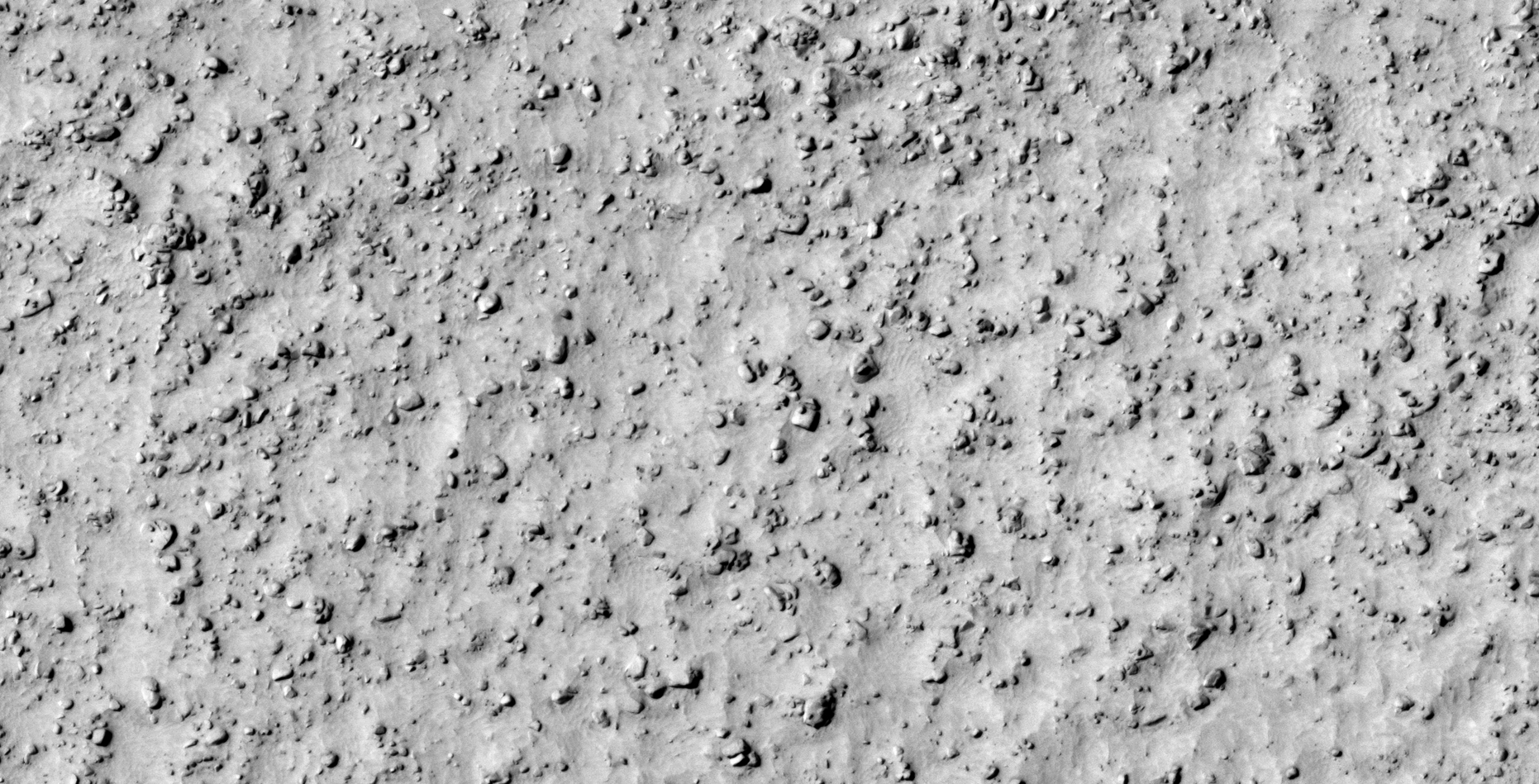
33) Another Vast Debris Field Found on Mars
The photograph analyzed here (ESP_028379_1405) was taken by NASA’s Mars Reconnaissance Orbiter HiRISE Camera on 15 August 2012. NASA describes the photographs as ‘Fresh Small Crater on Rocky Filled Floor of a Much Larger Crater.’
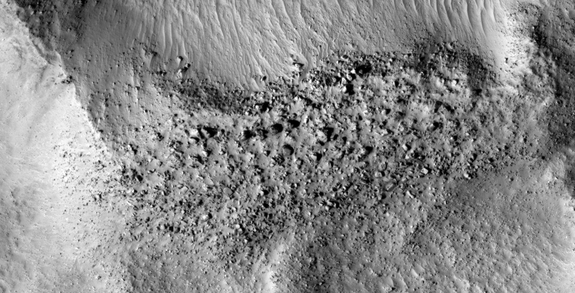
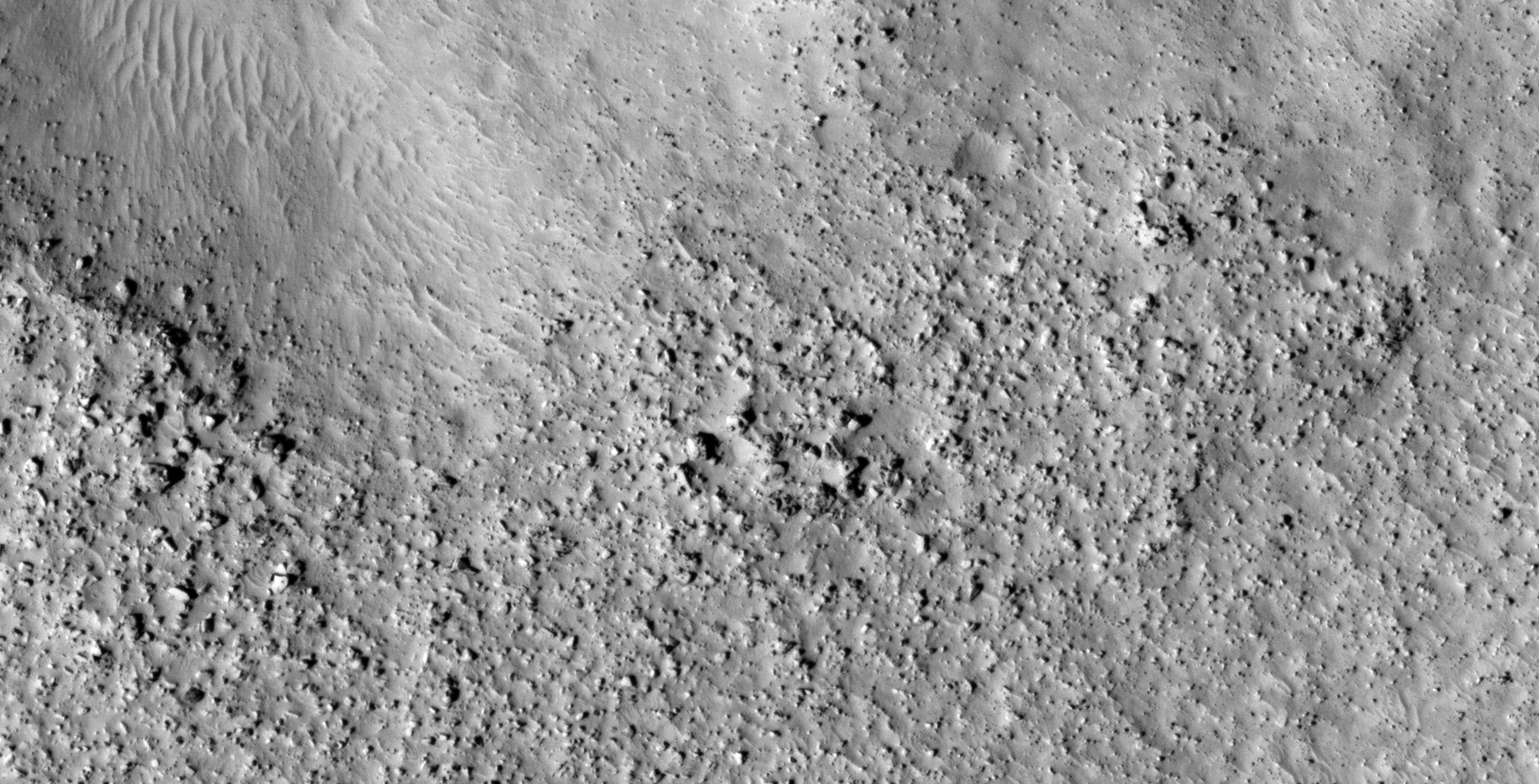
I discovered what looks like another large debris field on Mars. Seen are more megalithic blocks with knobs, disc-shaped objects with small domes on top and wreckage of machinery or technology.
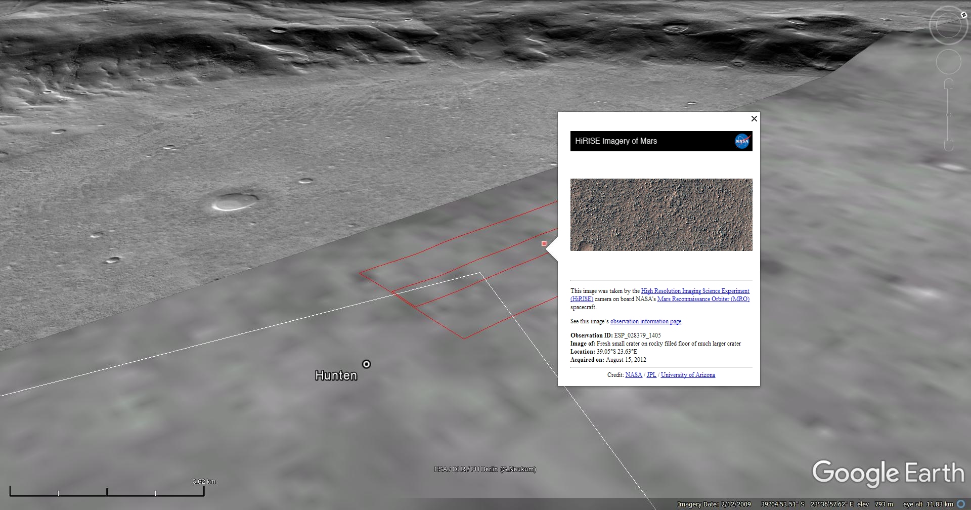
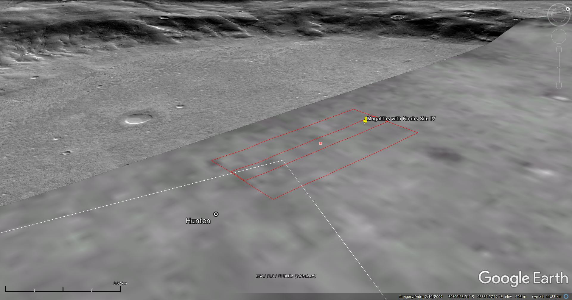
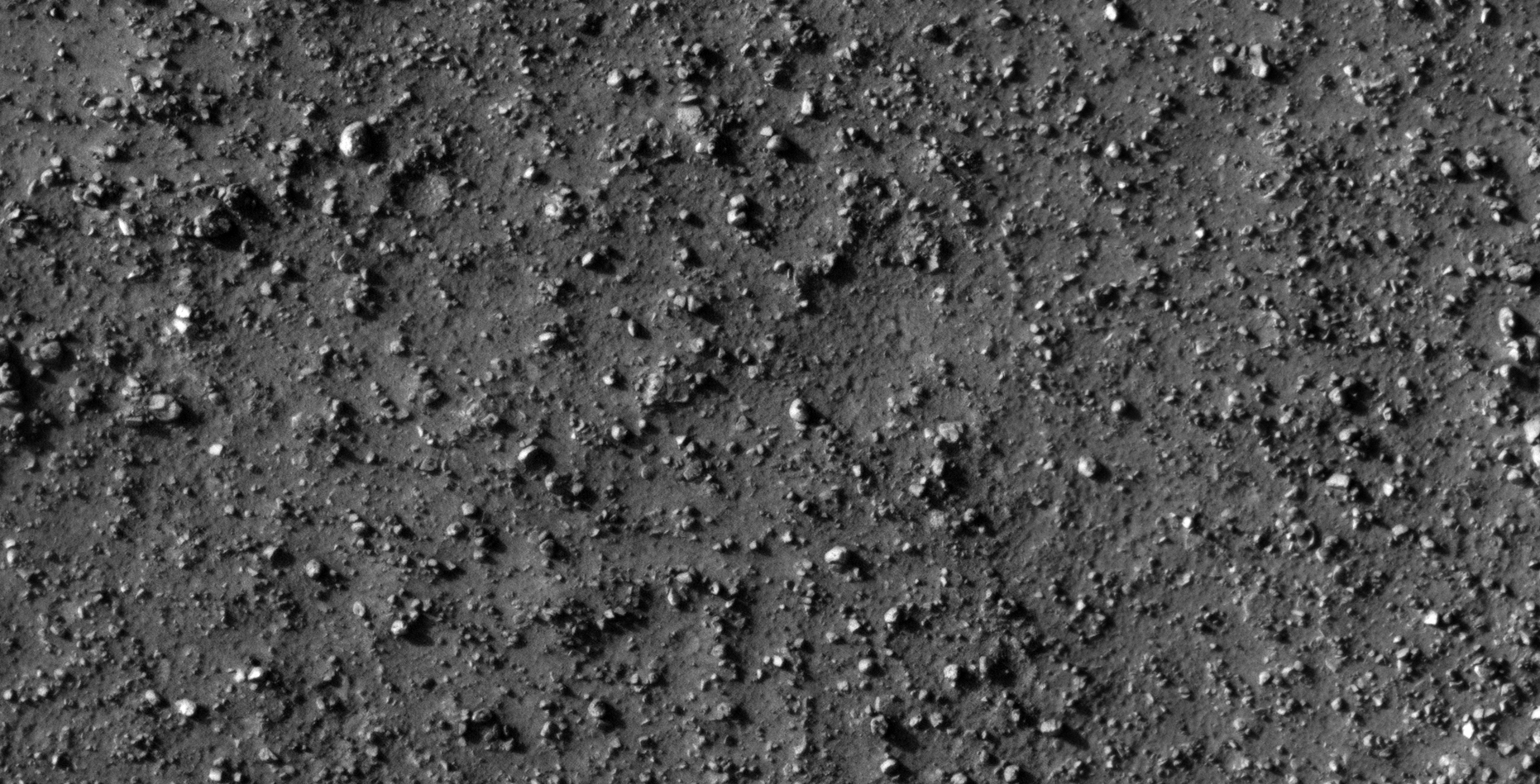
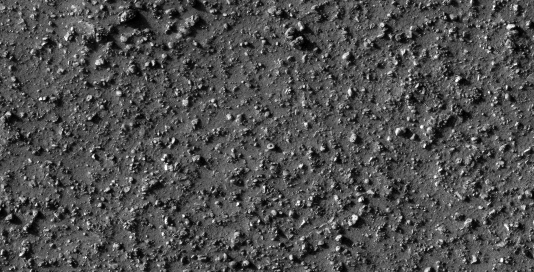
Blog Post: https://mars.raptorzone.co.za/2018/06/15/another-vast-debris-field-found-on-mars/
NASA Source: https://www.uahirise.org/ESP_028379_1405
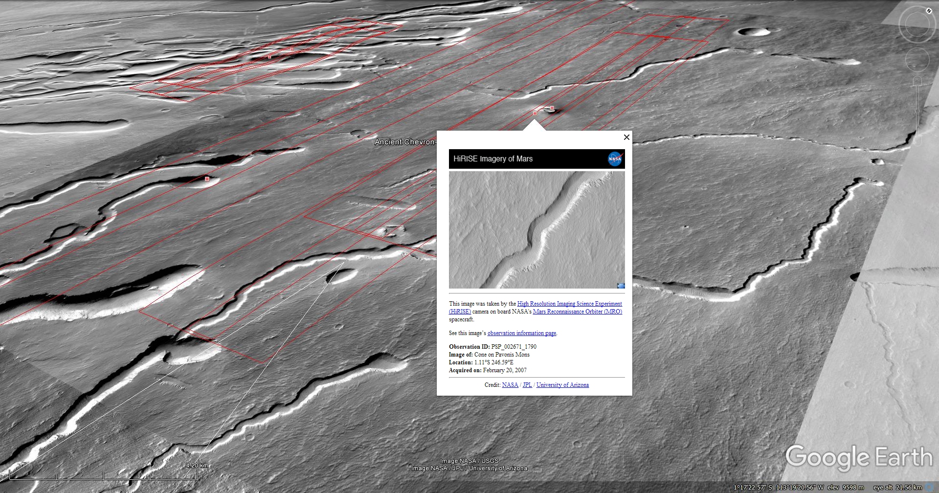
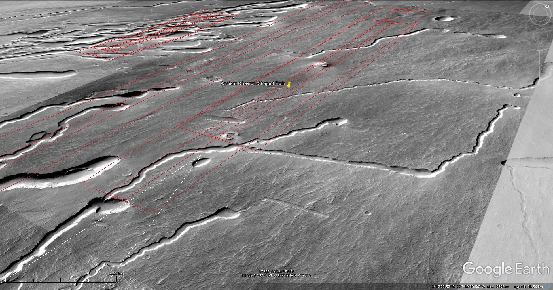
34) Ancient Chevron-Shaped Ruin found on Mars
The photographs analyzed here (B05_011413_1790_XN_01S113W and PSP_002671_1790) were taken by NASA’s Mars Reconnaissance Orbiter on 01 January 2009 and 20 February 2007 respectively. NASA describes the photographs as ‘Ride-along with HiRISE’ and ‘Possible Cinder Cone on the Southern Flank of Pavonis Mons’ respectively.
I discovered what looks like an ancient ruin on Mars consisting of two opposing chevron-type structures/walls. The side of each wall measures approximately 480 metres in length with a gap of 180 metres and 350 metres respectively between the two structures/walls.
Could these two chevron shapes be the remnants of a square structure/walled-in area that collapsed in the distant past?
Blog Post: https://mars.raptorzone.co.za/2018/06/19/ancient-chevron-shaped-ruin-found-on-mars/
Original NASA source:
CTX: http://viewer.mars.asu.edu/planetview/inst/ctx/B05_011413_1790_XN_01S113W
HiRISE: https://www.uahirise.org/PSP_002671_1790
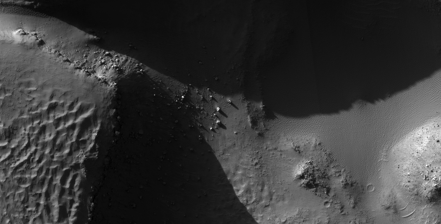
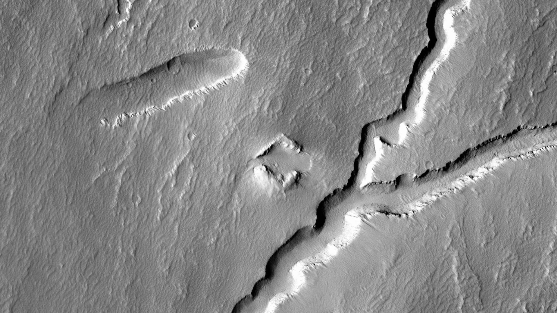
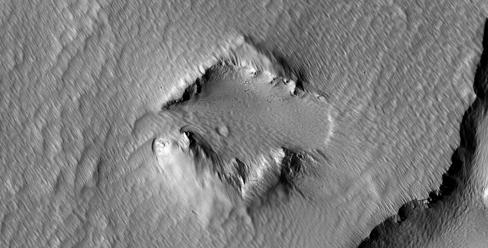
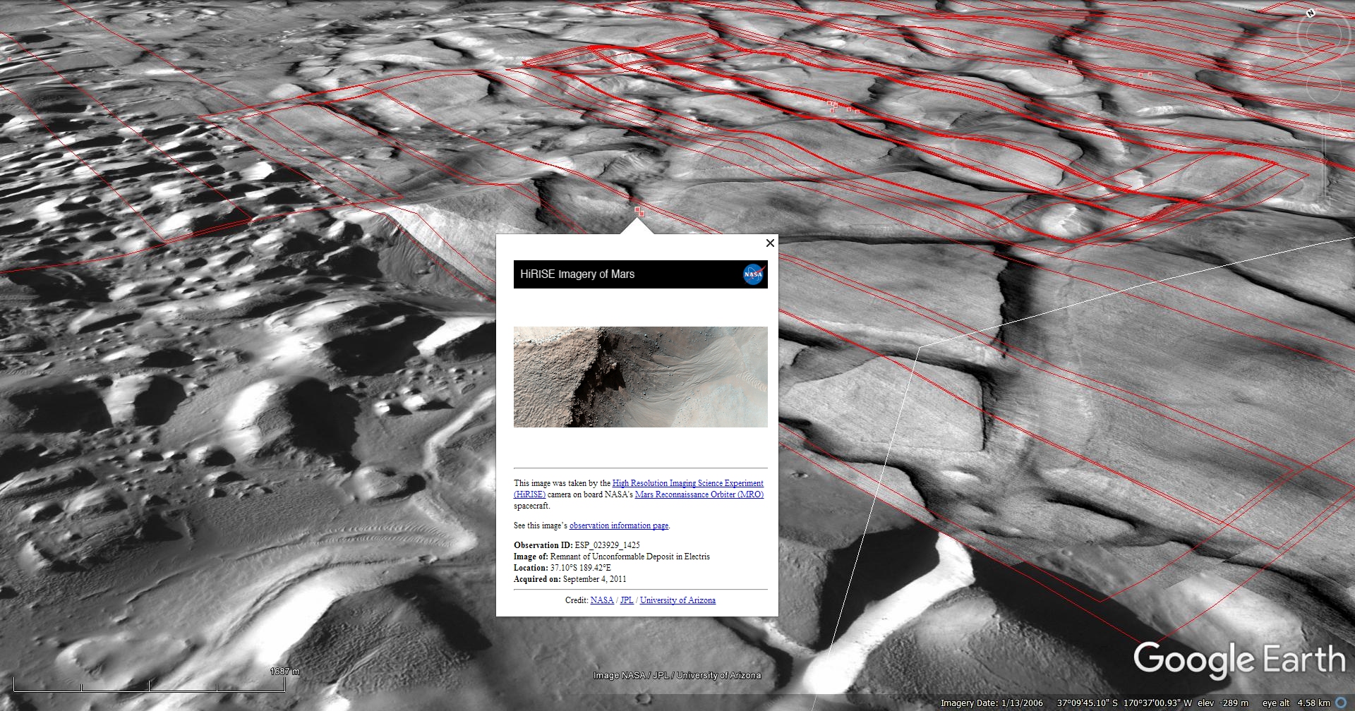
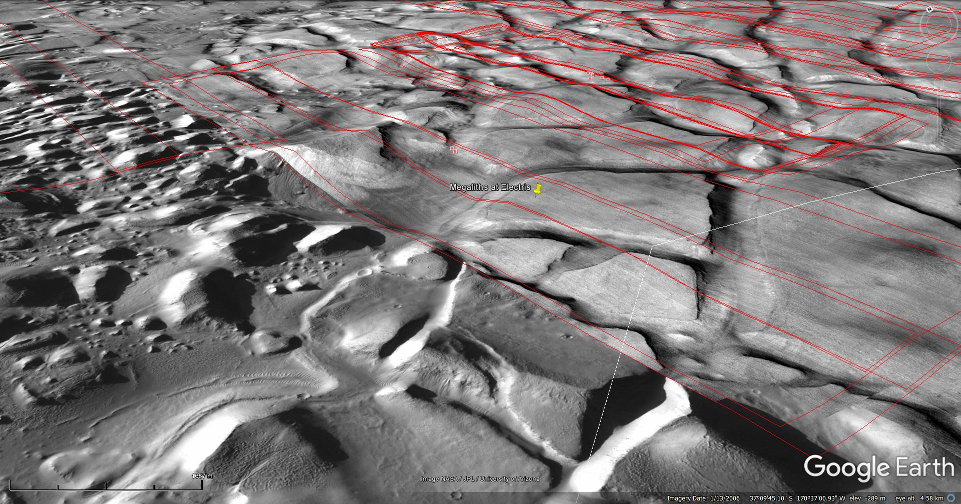
35) The Ancient Electris Megalithic Ruins of Mars
The photograph analyzed here (ESP_023929_1425) was taken by NASA’s Mars Reconnaissance Orbiter on 04 September 2011. NASA describes the photographs as ‘Remnant of Unconformable Deposit in Electris.’
I discovered what appears to be further ancient megalithic ruins consisting of massive, broken megalithic blocks.
Some structures are still relatively intact and show a few blocks that have become dislodged.
Again, there are multiple anomalies that look like wrecked craft, damaged machinery or tech, underground entrance-ways and pieces of sculptures, even what look like a giant hatch.
Are these ancient ruins built by a civilization that lived on Mars in the distant past or were these structures formed through a natural geological processes?
To quote NASA: ‘One goal of this observation is to try to determine the origin of what’s called the ‘mantling deposit.’ How was this deposit placed here?’
Due to the fact that I have discovered multiple sites on Mars with similar matching megalithic blocks and similar objects I speculate these ancient ruins are artificial in nature.
Blog Post: https://mars.raptorzone.co.za/2018/06/22/the-ancient-electris-megalithic-ruins-of-mars/
NASA Source: https://www.uahirise.org/ESP_023929_1425
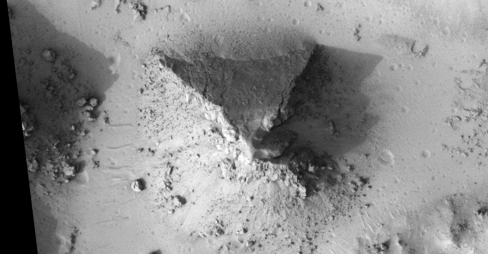
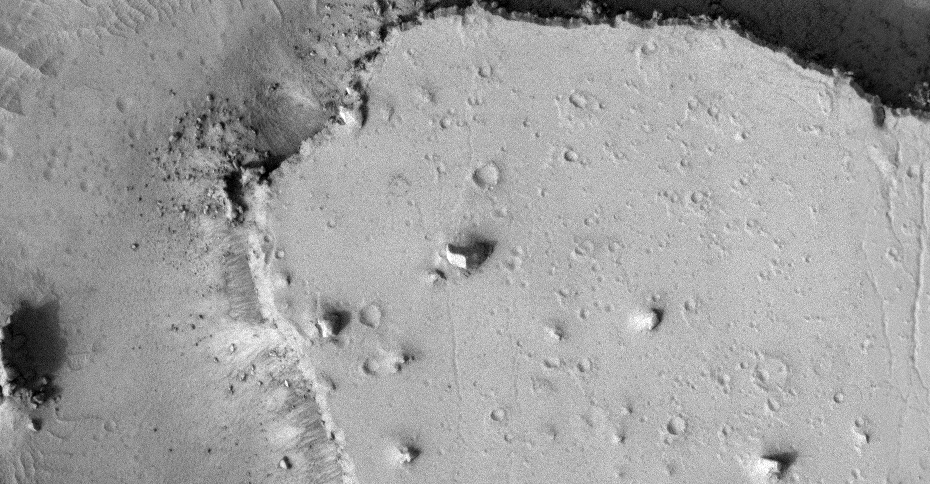
36) The Ancient Cerberus Palus Ruins of Mars
The photograph analyzed here (ESP_012445_1880) was taken by NASA’s Mars Reconnaissance Orbiter on 23 March 2009. NASA describes the photograph as ‘Disrupted and Blocky Outcrop in Cerberus Palus.’
I discovered what appears to be further ancient megalithic ruins consisting of massive, broken megalithic blocks.
Furthermore it looks like the area consisted of artificially made islands inside a canal-type system.
There are also other weird anomalies including what looks like an eroded pyramid with only one side still relatively intact. There is also a square block consisting of nine small square blocks.
PS: I decided not to include close-up zooms of the anomalies because the HiRISE photograph is too ‘noisy,’ salt and pepper and thin interference lines.
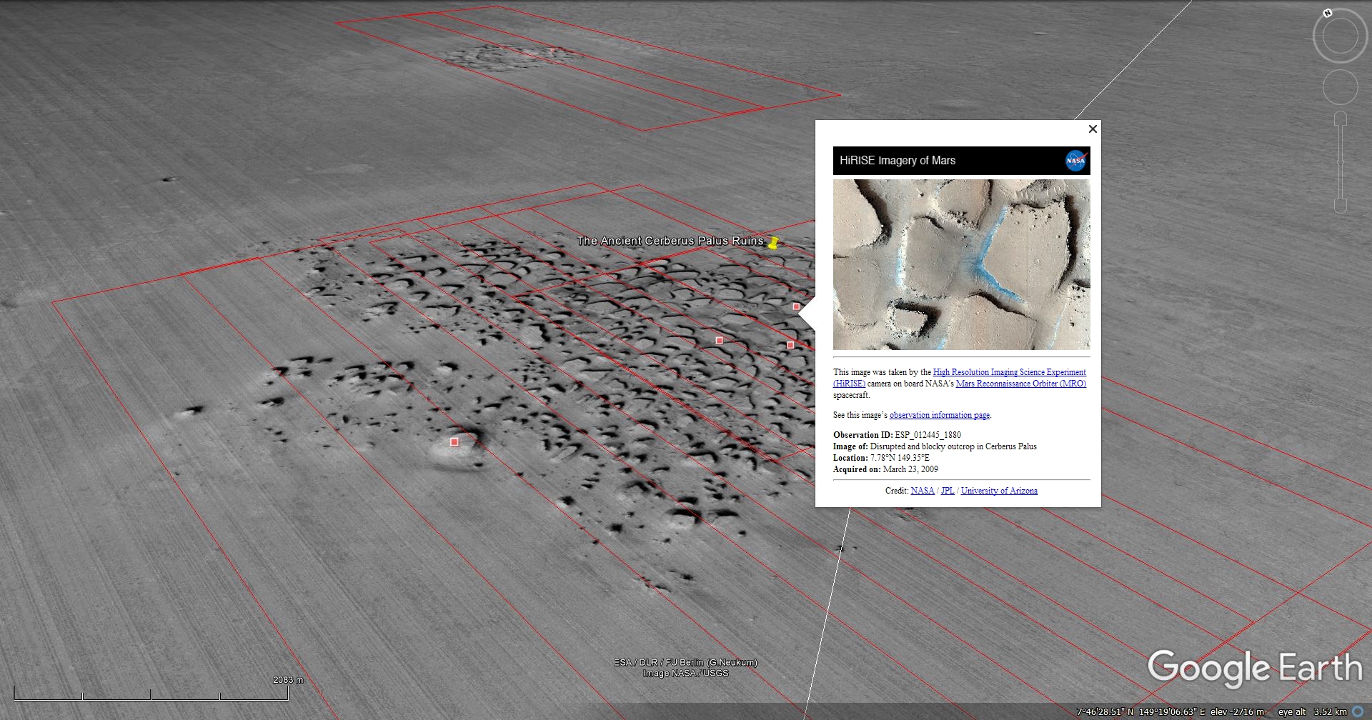
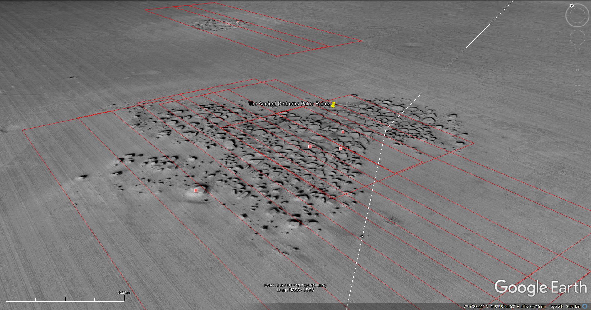
Blog Post: https://mars.raptorzone.co.za/2018/06/25/the-ancient-cerberus-palus-ruins-of-mars/
NASA Source: https://www.uahirise.org/ESP_012445_1880
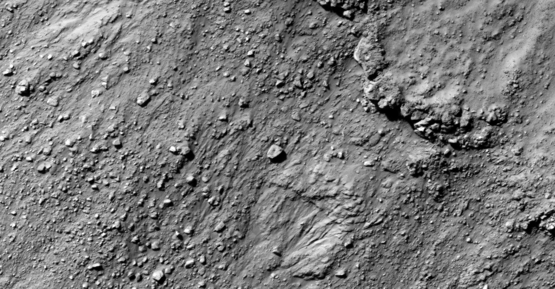
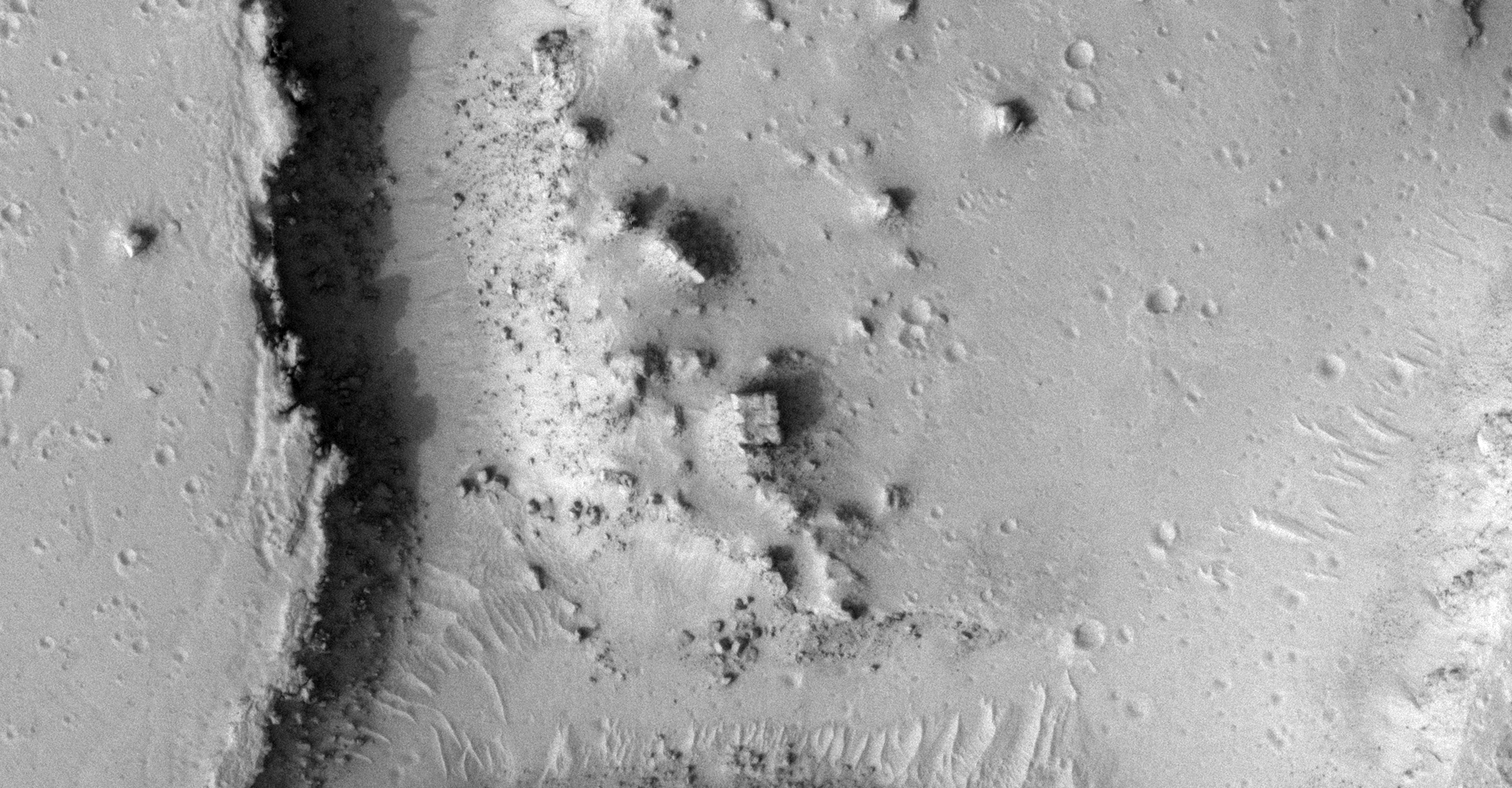
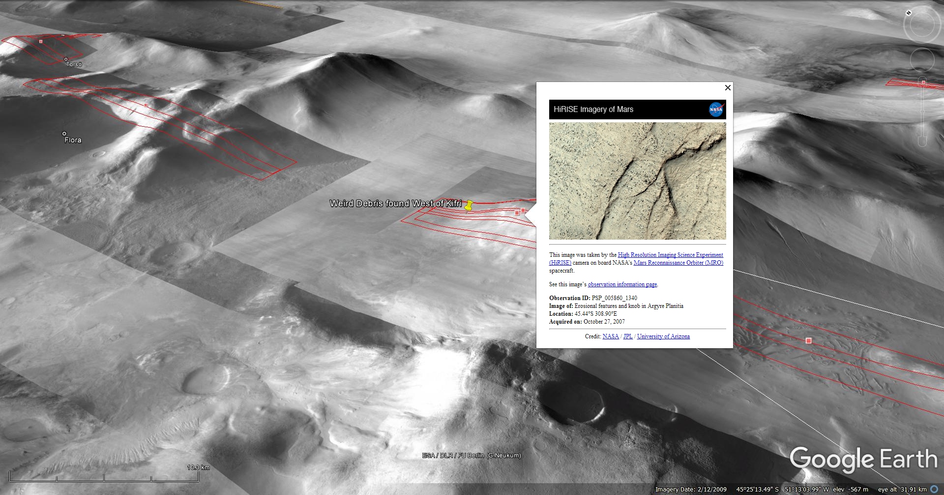
37) Weird Debris found West of Kifri on Mars
The photograph analyzed here (PSP_005860_1340) was taken by NASA’s Mars Reconnaissance Orbiter on 27 October 2007. NASA describes the photograph as ‘Erosional Features and Knob in Argyre Planitia.’
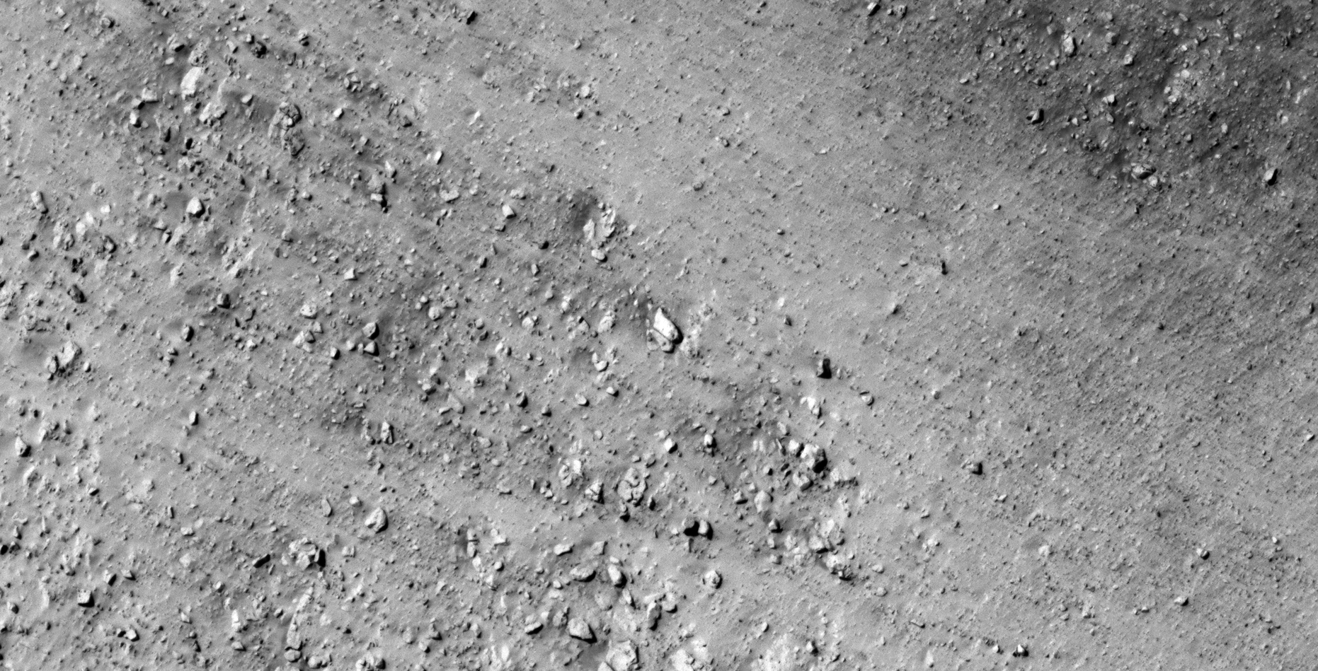
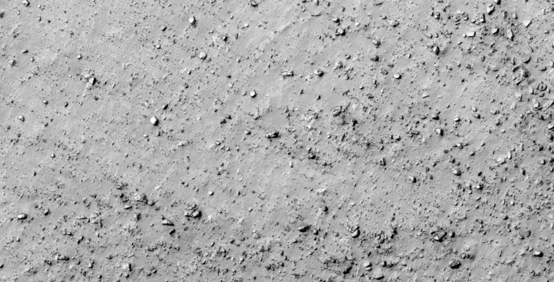
I discovered what appears to be further evidence of ancient broken megalithic blocks with knobs or smaller features on top and what may be wreckage.
There may even be a few underground entrance-ways shown, only speculating.

Blog Post: https://mars.raptorzone.co.za/2018/06/28/weird-debris-found-west-of-kifri-on-mars/
NASA Source: https://www.uahirise.org/PSP_005860_1340
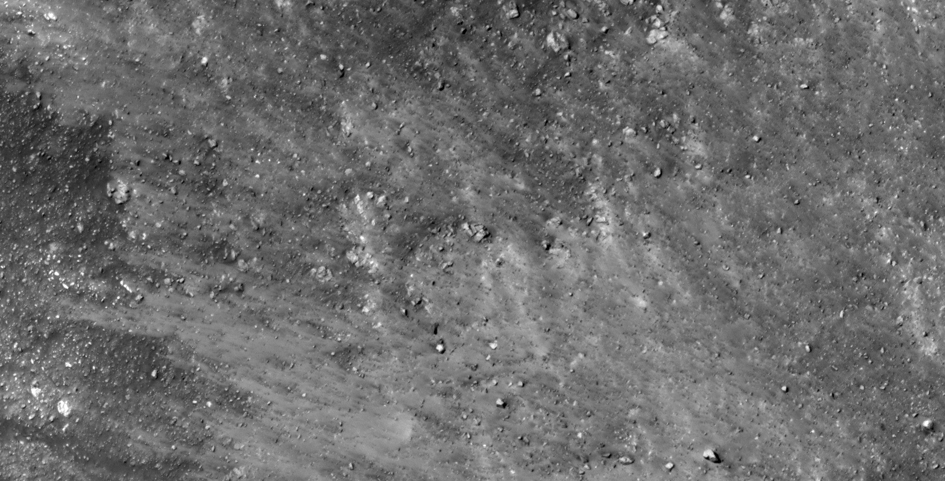
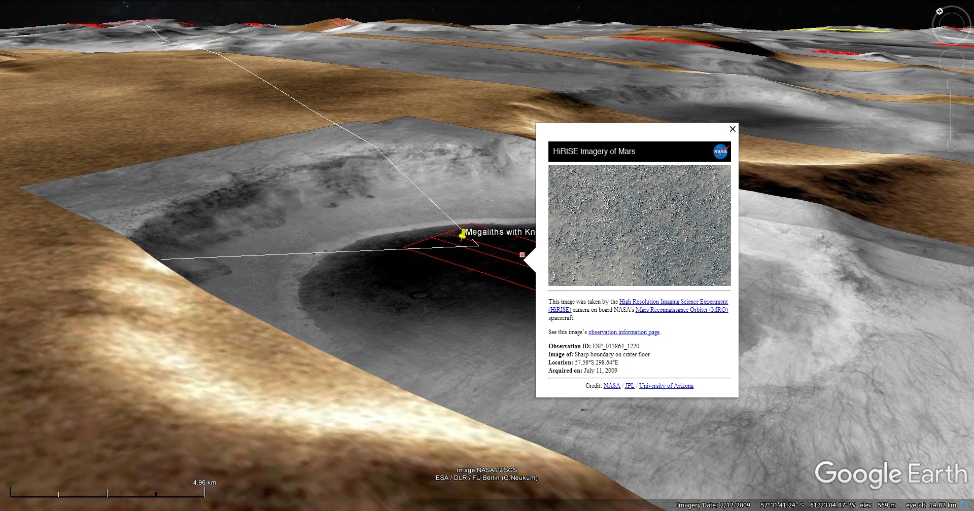
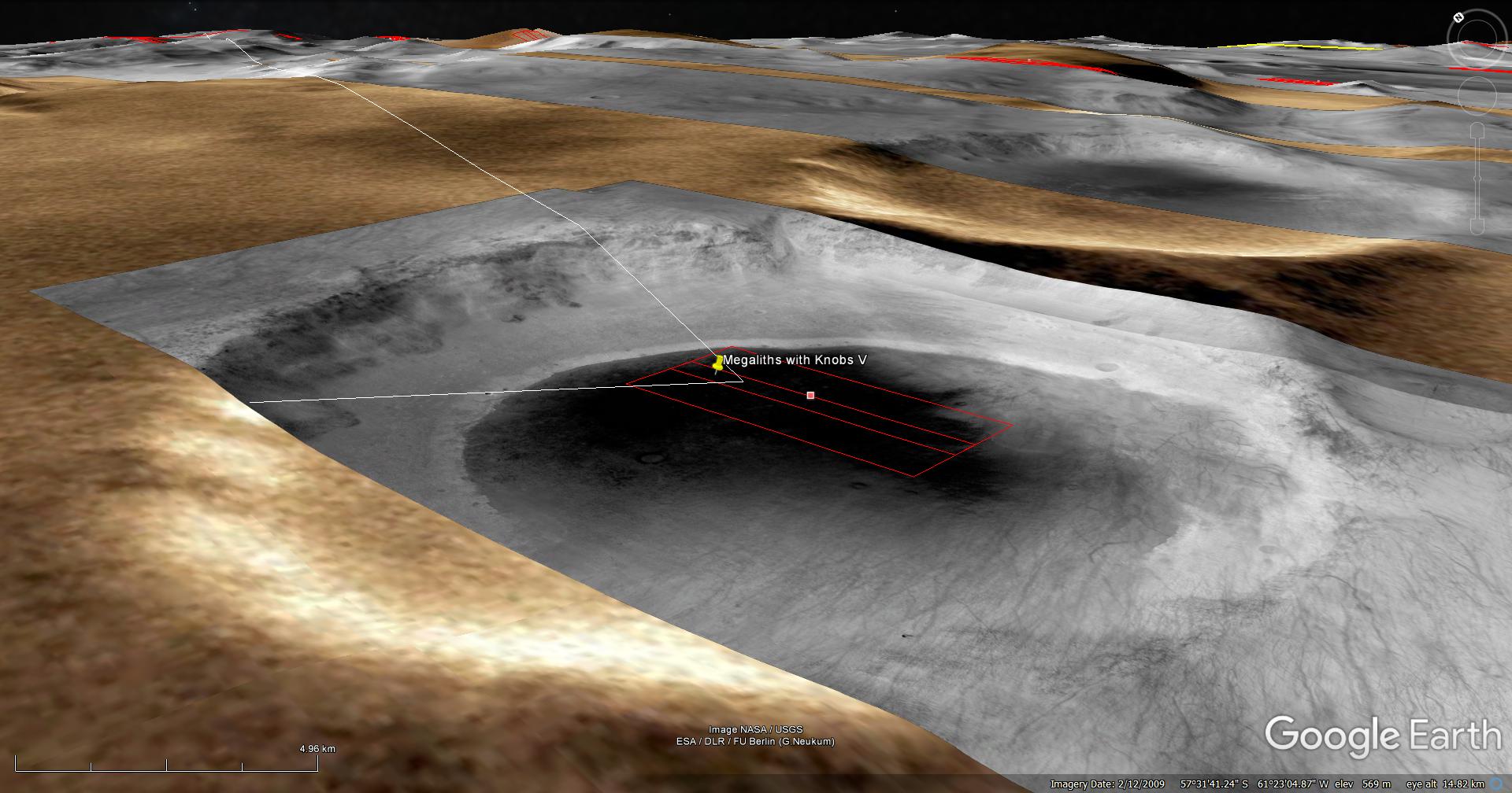
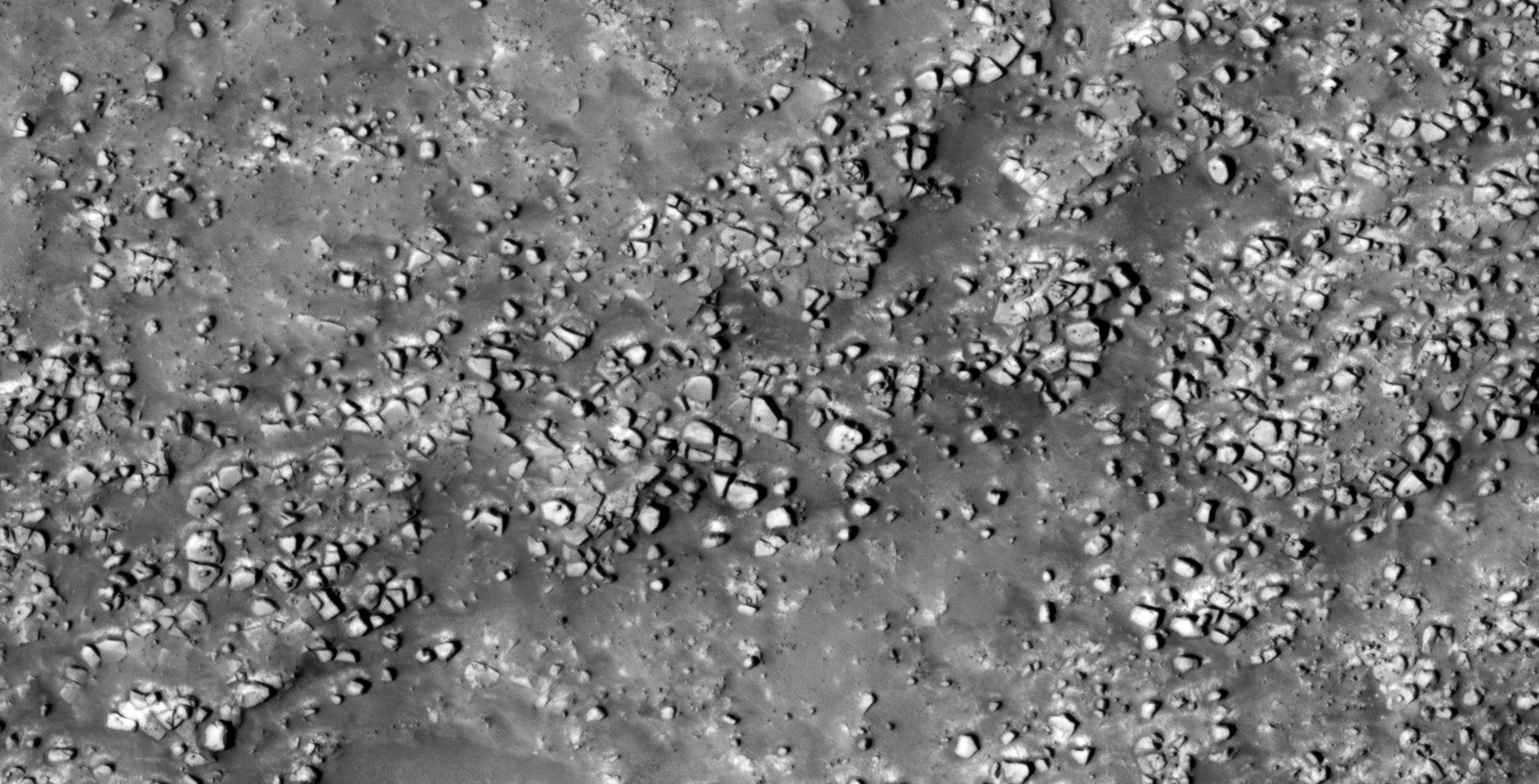
38) Ancient Ruins and Tech South East of Douglass Crater on Mars
The photograph analyzed here (ESP_013864_1220) was taken by NASA’s Mars Reconnaissance Orbiter on 11 July 2009. NASA describes the photograph as ‘Sharp Boundary on Crater Floor.’
I discovered another vast terrain on the Martian surface littered with megalithic blocks with knobs or smaller features on top, wrecked craft or machinery/technology.
It looks like I discovered matching objects again.
There may even be a few underground entrance-ways and/or underground habitat ventilation caps shown, only speculating.
I further speculate that the blocks have been arrange somehow and the smaller features have been physically placed on top of them in patterns. Perhaps these are shrines with a special meaning to them. Might this even be a burial ground?
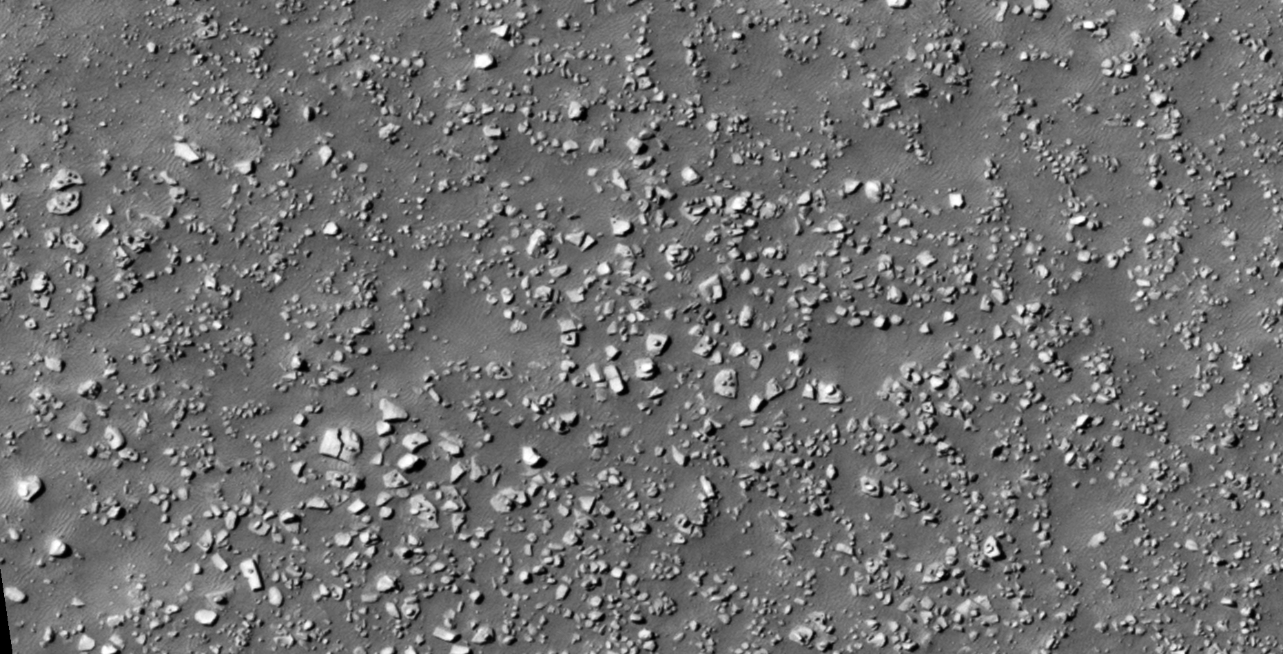

NASA Source: https://www.uahirise.org/ESP_013864_1220
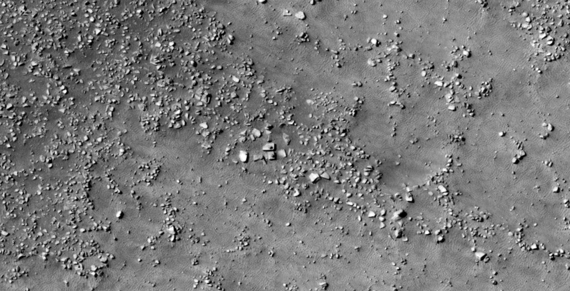
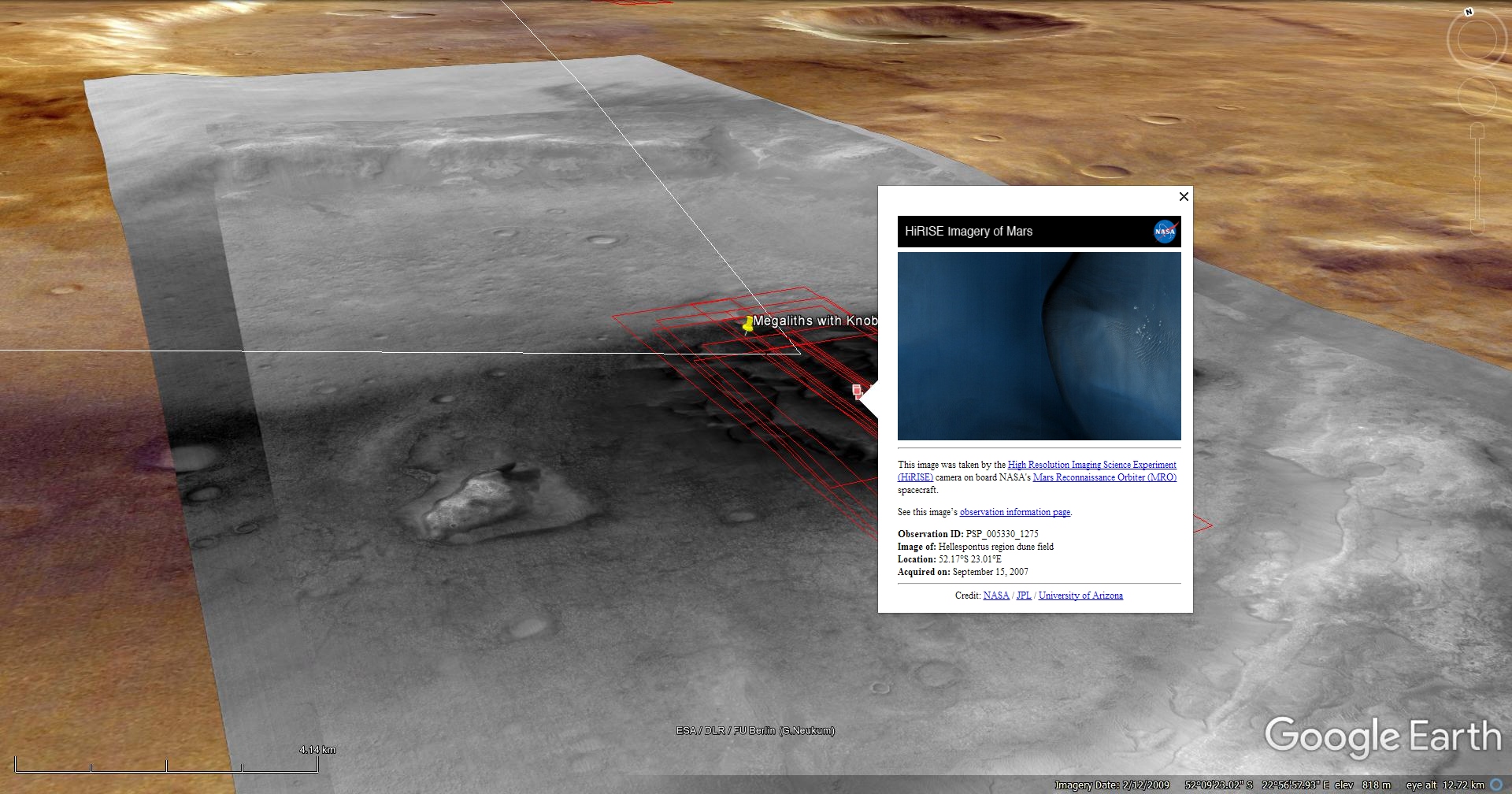
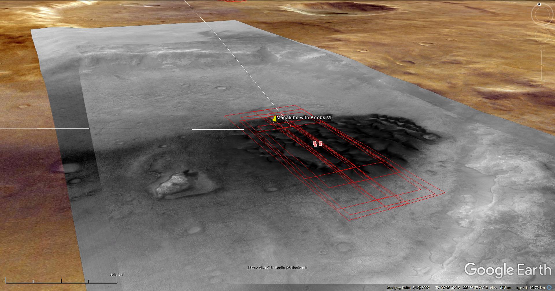
39) The Ancient Hellespontus Wreckage of Mars
The photograph analyzed here (PSP_005330_1275) was taken by NASA’s Mars Reconnaissance Orbiter on 15 September 2007. NASA describes the photograph as ‘Hellespontus Region Dune Field.’
Discovered here is what I speculate to be further evidence of ancient ruins and technology on Mars.
I also found what looks like a wrecked Quimbaya ‘Jet’-type object approximately 20 metres long. I wonder what Giorgio from Ancient Aliens will think of this artefact?
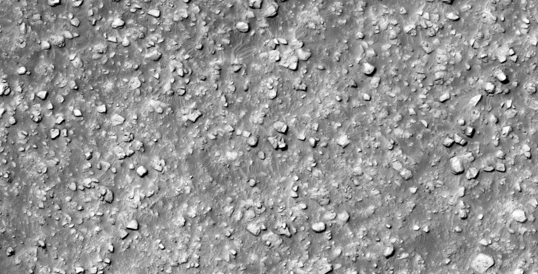
Blog Post: https://mars.raptorzone.co.za/2018/07/04/the-ancient-hellespontus-wreckage-of-mars/
NASA Source: https://www.uahirise.org/PSP_005330_1275
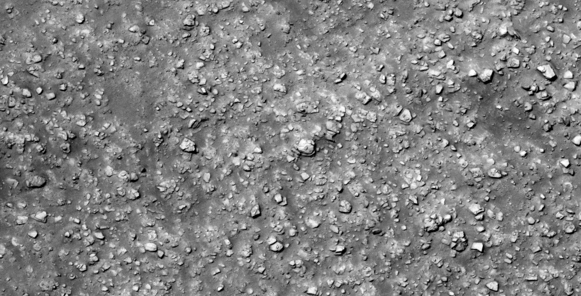
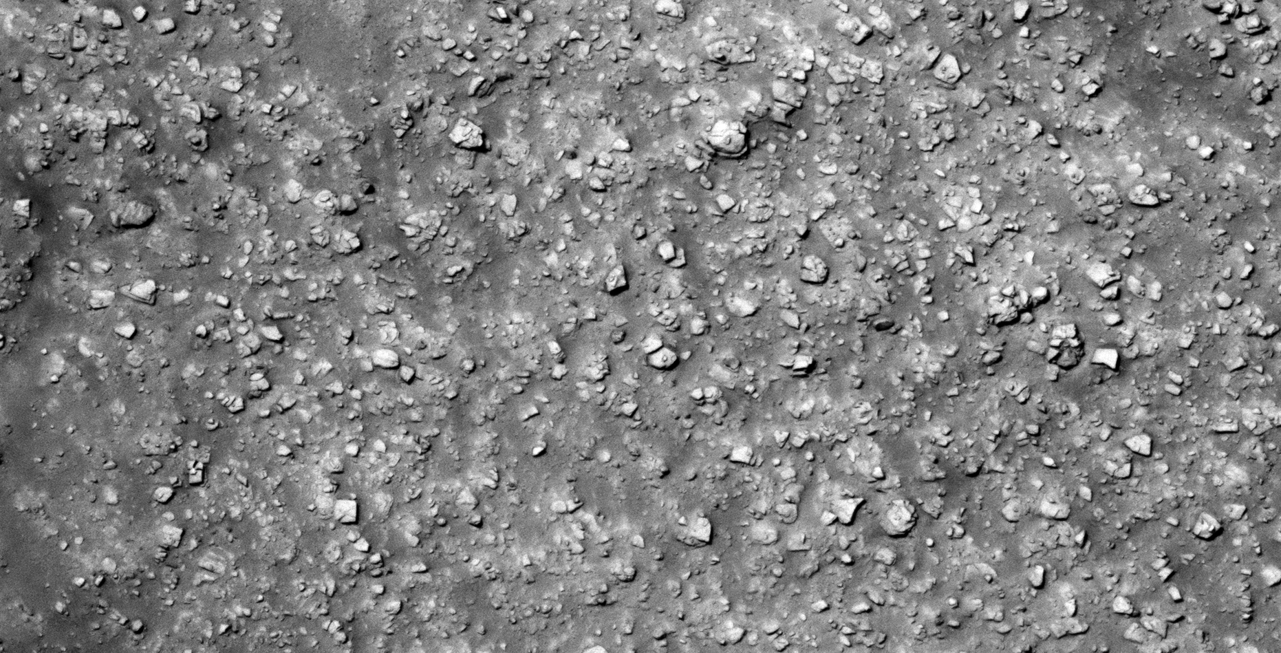
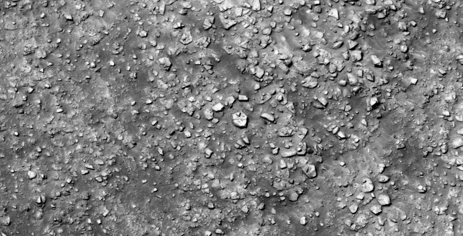
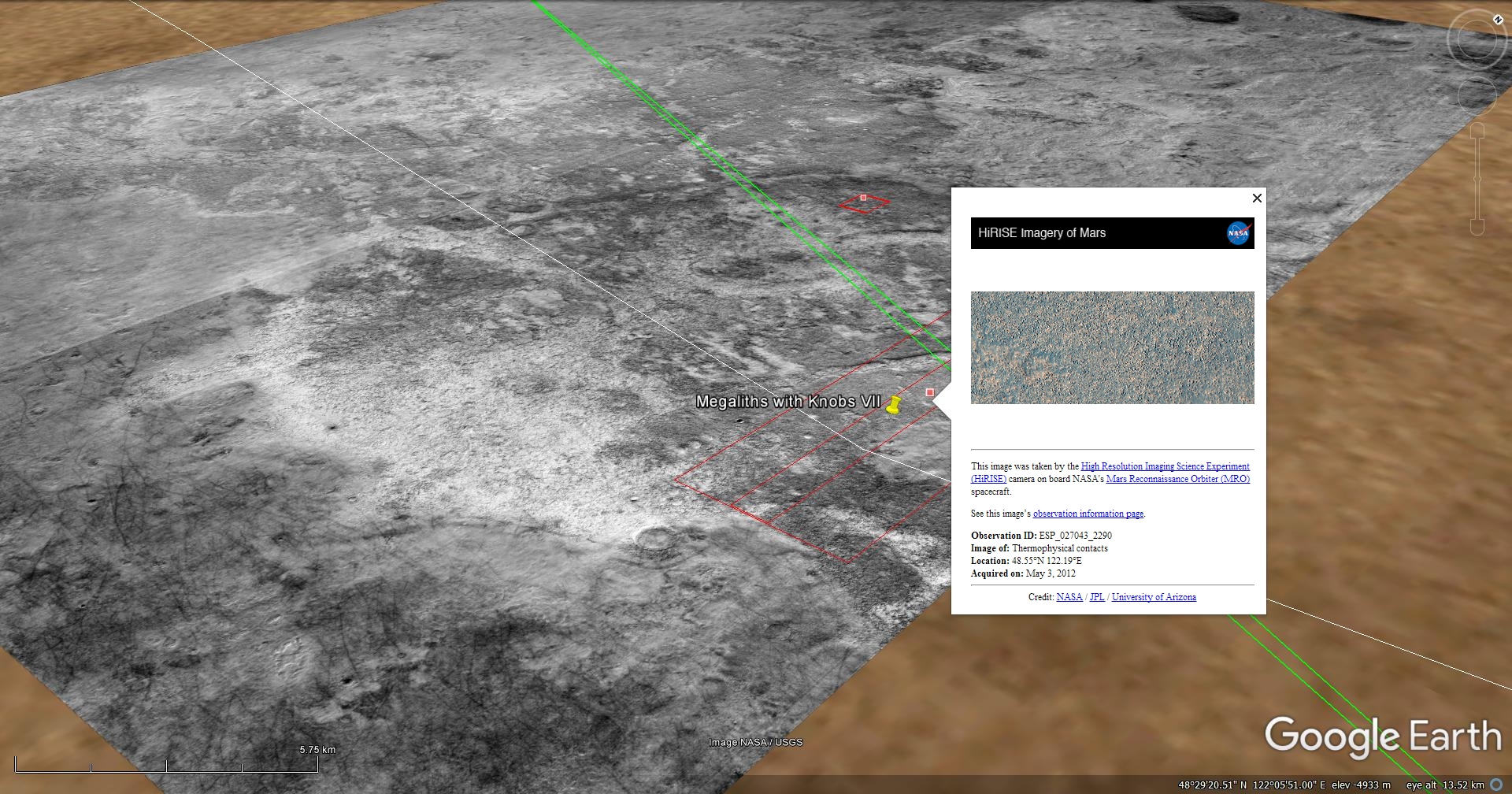
40) The Ancient Utopian Ruins of Mars
The photograph analyzed here (ESP_027043_2290) was taken by NASA’s Mars Reconnaissance Orbiter on 03 May 2012. NASA describes the photograph as ‘Thermophysical Contacts.’
Located just to the west of the Viking 2 Lander site, this area is littered with what look like ancient megalithic ruins.
Found are more megalithic blocks with smaller features or knobs on top. Some blocks are arranged in geometric patterns/walls, however the event/s that devastated the planet in the distant past totally destroyed what may have been structures.


Blog Post: https://mars.raptorzone.co.za/2018/07/06/the-ancient-utopian-ruins-of-mars/
NASA Source: https://www.uahirise.org/ESP_027043_2290
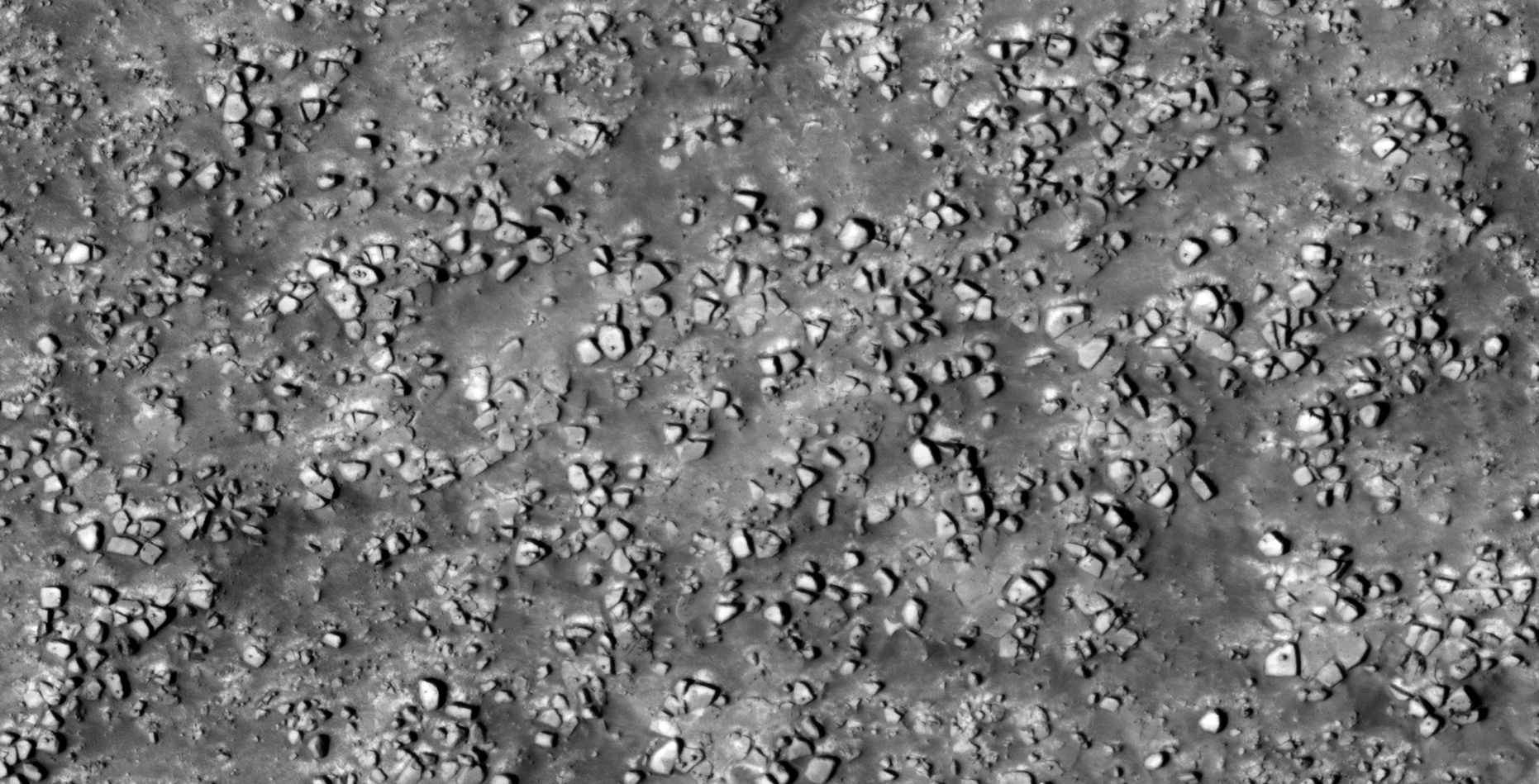
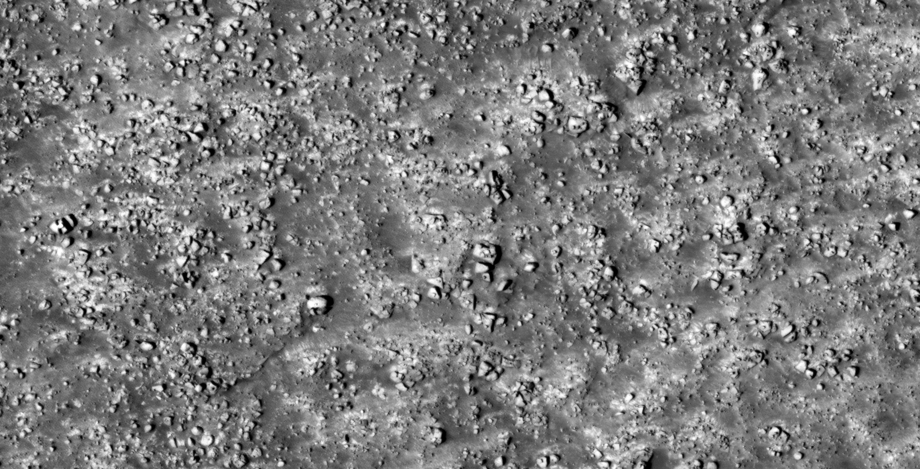
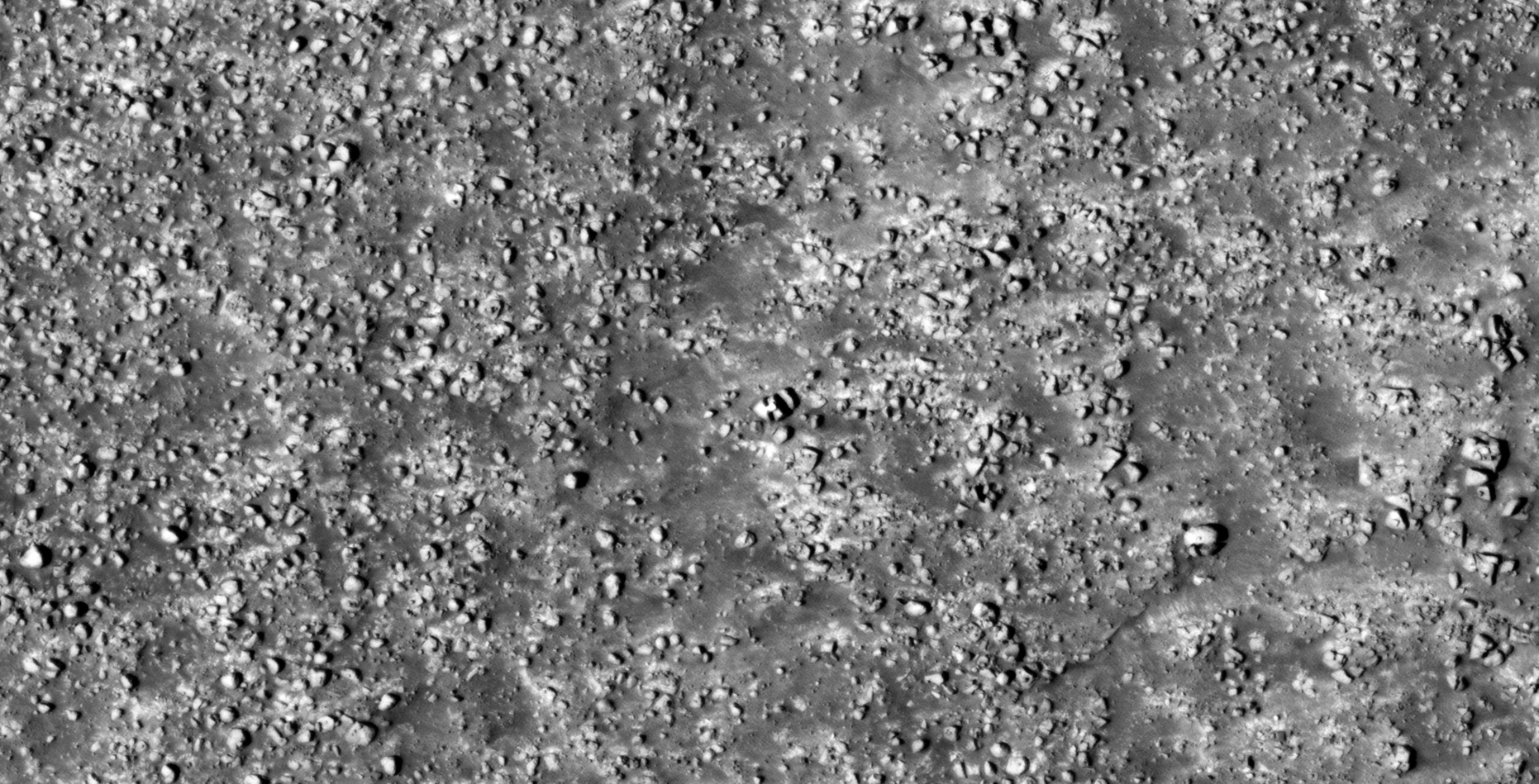
41) Hellas Region Crater Floor Debris Field on Mars
he photograph analyzed here (ESP_022797_1370) was taken by NASA’s Mars Reconnaissance Orbiter on 07 June 2011. NASA describes the photograph as ‘Greater Hellas Region Crater Floor.’
This ancient debris field consisting of more megalithic blocks with knobs and other destroyed, tech-like objects is located closer to the equator and is in an entirely new location on Mars.
I speculate that large parts of the surface of Mars was populated by some civilization/s in the distant past and that a catastrophic event destroyed their structures/buildings.
Some may have survived, hence the placement/arrangement of the blocks and smaller features which may have been done after the fact.
I have also discovered what appear to be active mining operations shown in some of my previous videos, please check them out when you get the chance.
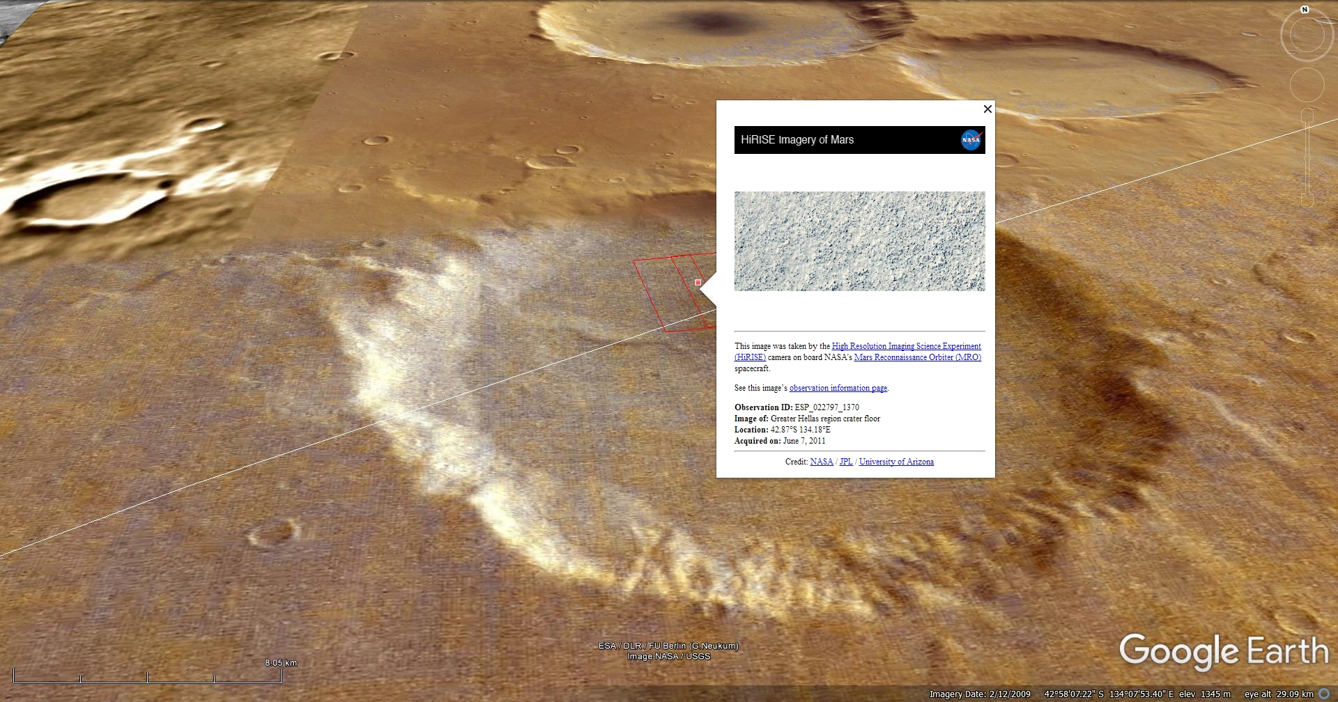
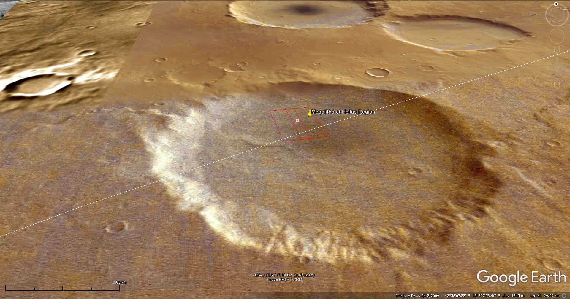
Blog Post: https://mars.raptorzone.co.za/2018/07/08/hellas-region-crater-floor-debris-field-on-mars/
NASA Source: https://www.uahirise.org/ESP_022797_1370
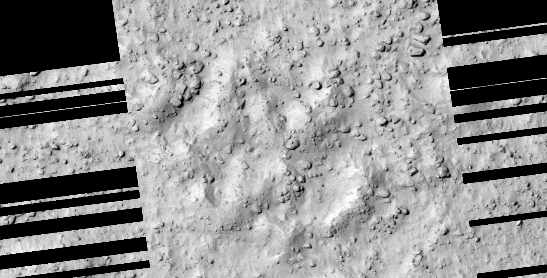
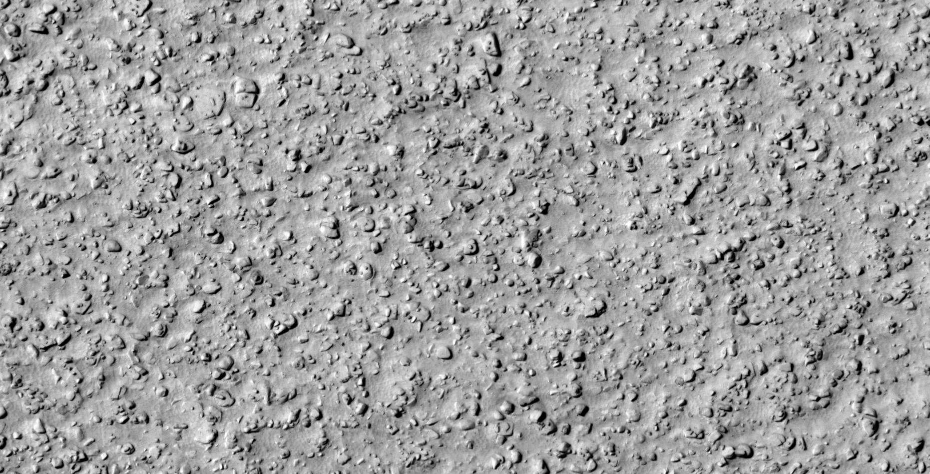
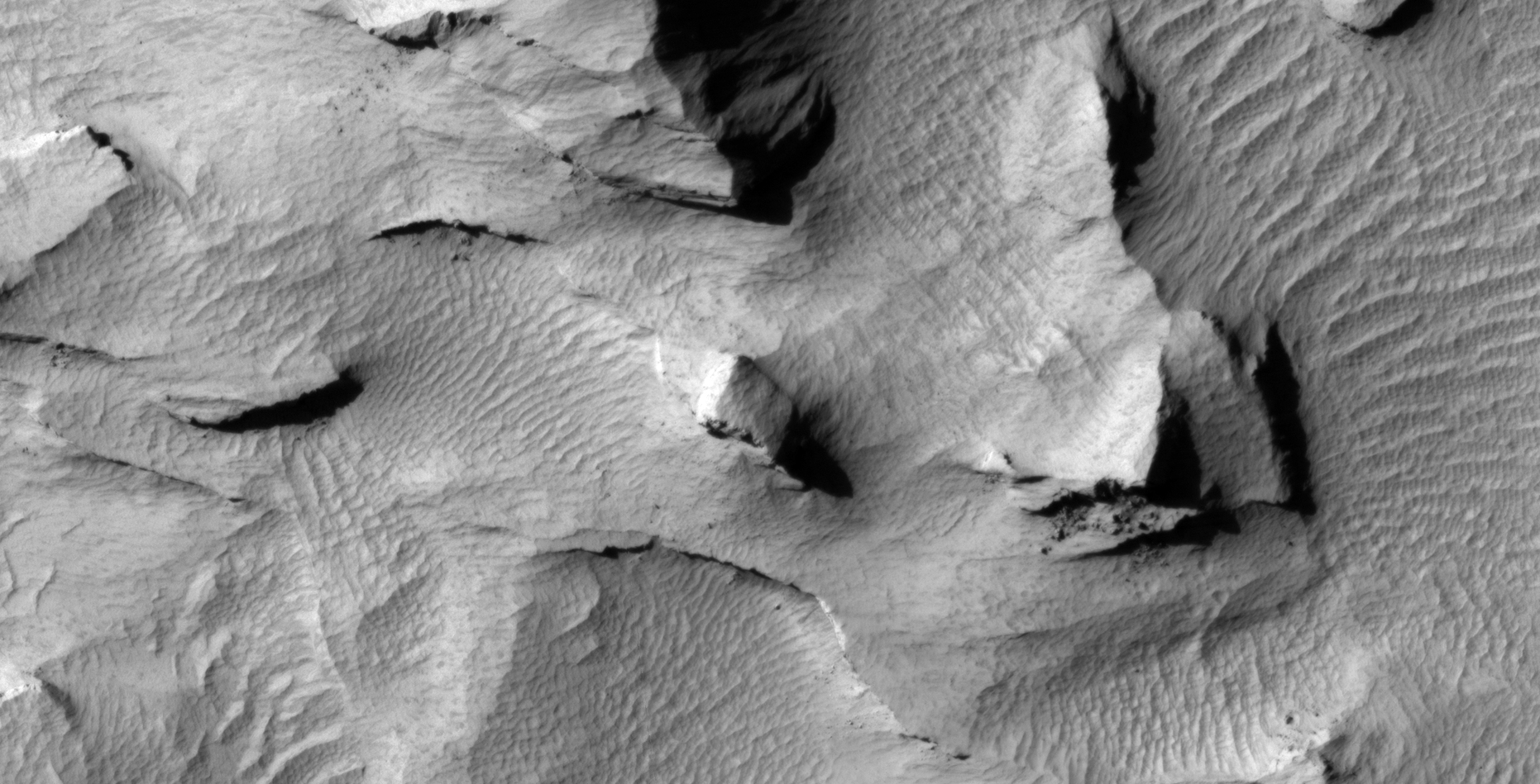
42) High-Strangeness in Aeolis Region on Mars
The photograph analyzed here (ESP_036655_1735) was taken by NASA’s Mars Reconnaissance Orbiter on 22 May 2014. NASA describes the photograph as ‘Layered Material in Aeolis Region.’
I speculate I may have found more heavily eroded megalithic blocks, a type of stepped structure and another rectangular opening/mine/entrance-way cut into the side of a hill.
Might this evidence point to some type of megalithic block mining/extraction activity?

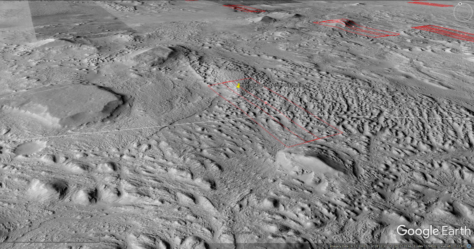

Blog Post: https://mars.raptorzone.co.za/2018/07/12/high-strangeness-in-aeolis-region-on-mars/
NASA Source: https://www.uahirise.org/ESP_036655_1735
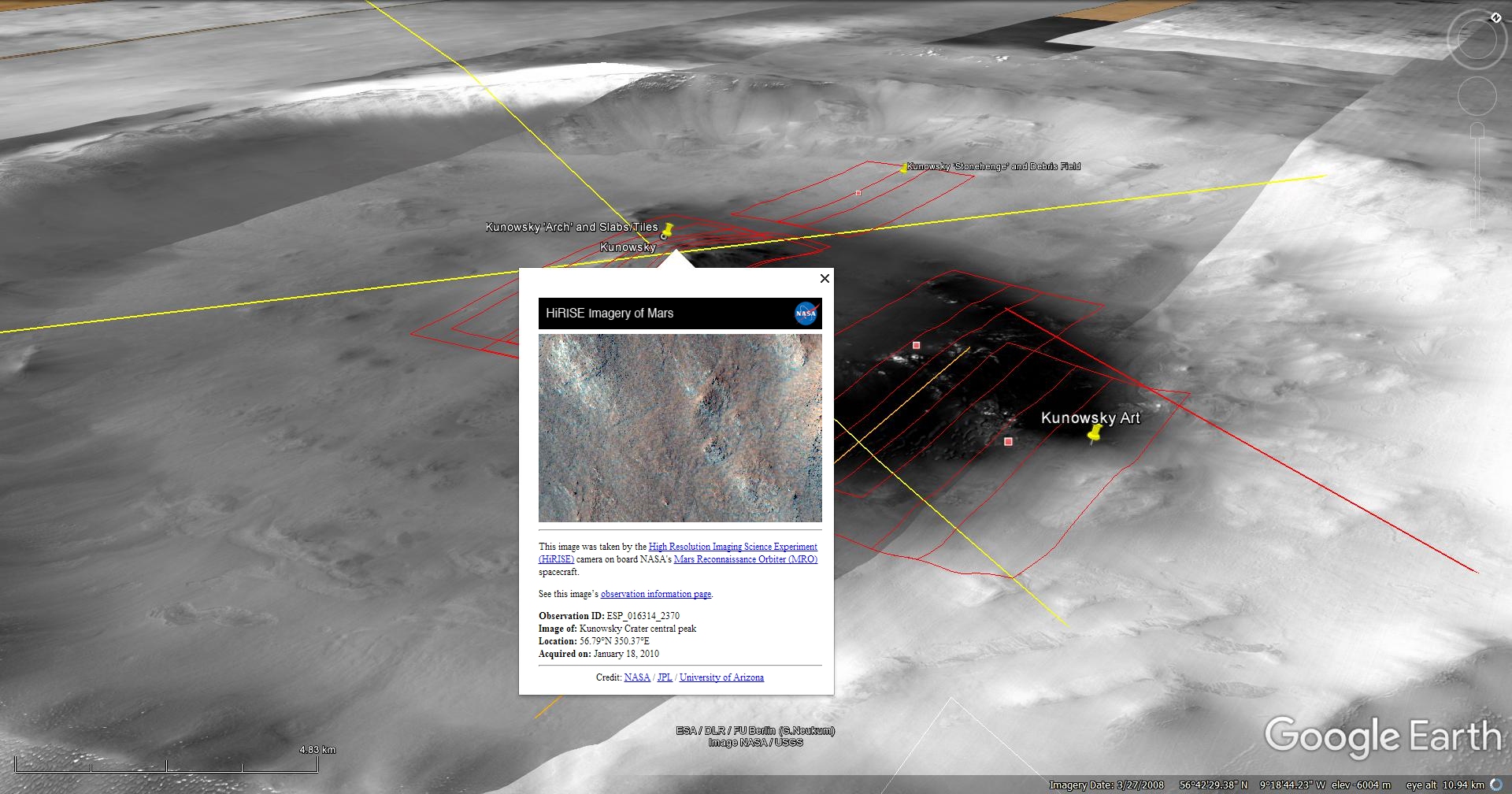
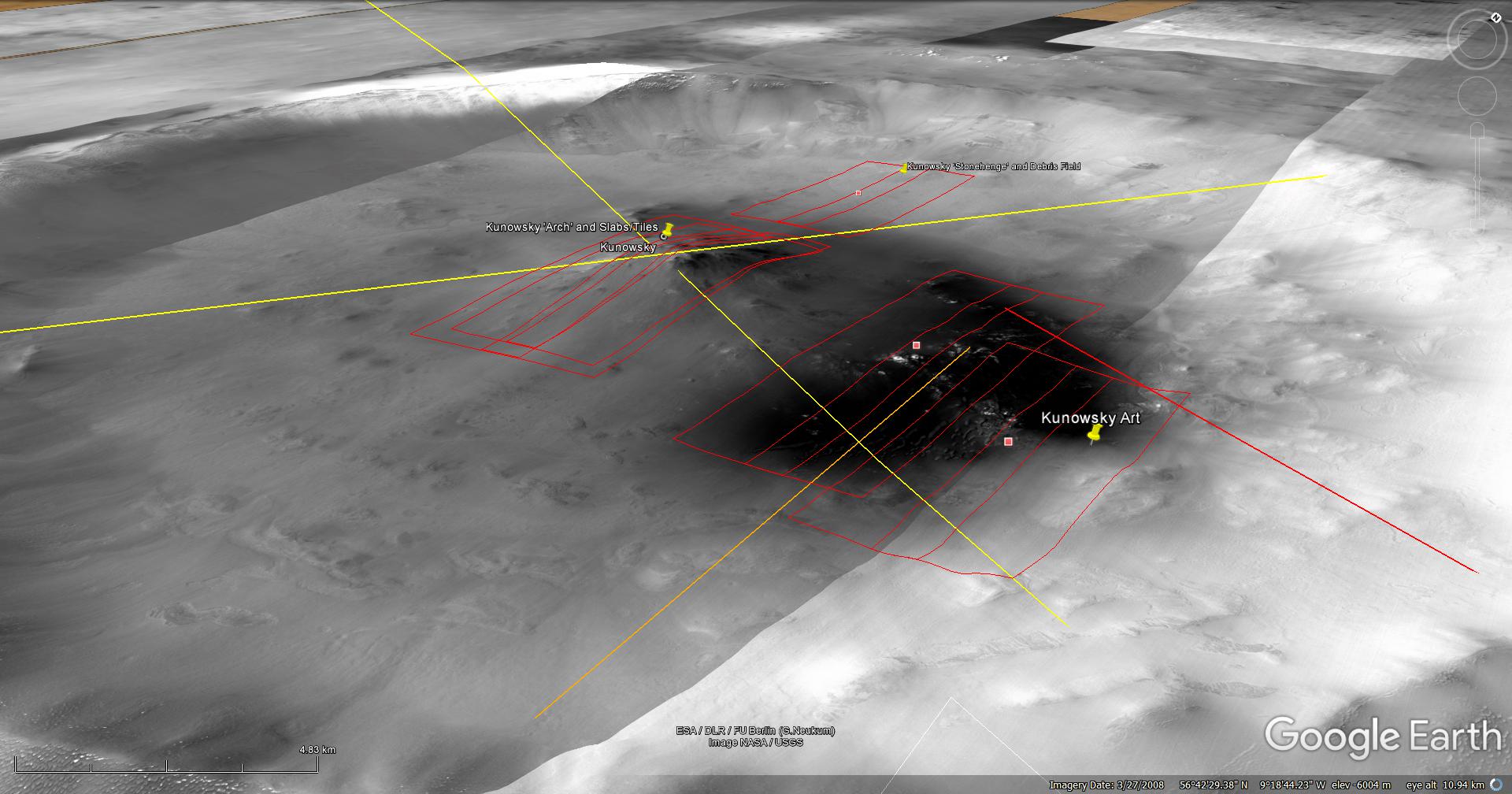
43) The Kunowsky-Giza Pyramid Complex Project
A Saturn Ark RaptorZone Collaboration
This is a collaborative work between my friend, Saturn Ark and myself in which evidence supporting a possible ancient link between Kunowsky on Mars and the Giza Pyramid Complex on Earth is presented.
Following eight years of research, my friend discovered why the Artwork is upside down. The Artwork needed to be rotated approximately 98 degrees to show that geometry lines extended out of Kunowsky on Mars correspond or map to the Giza Pyramid Complex in Cairo as well as aligns with the Red Sea on Earth.
The Kunowsky geometry lines extend out of three points on Mars:
Firstly the semi-buried, mostly eroded pyramid which links up with the Giza Pyramid Complex on Earth;
Secondly the Red Sea next to the African Continent in the Martian surface Artwork which links up with the Red Sea on Earth, and;
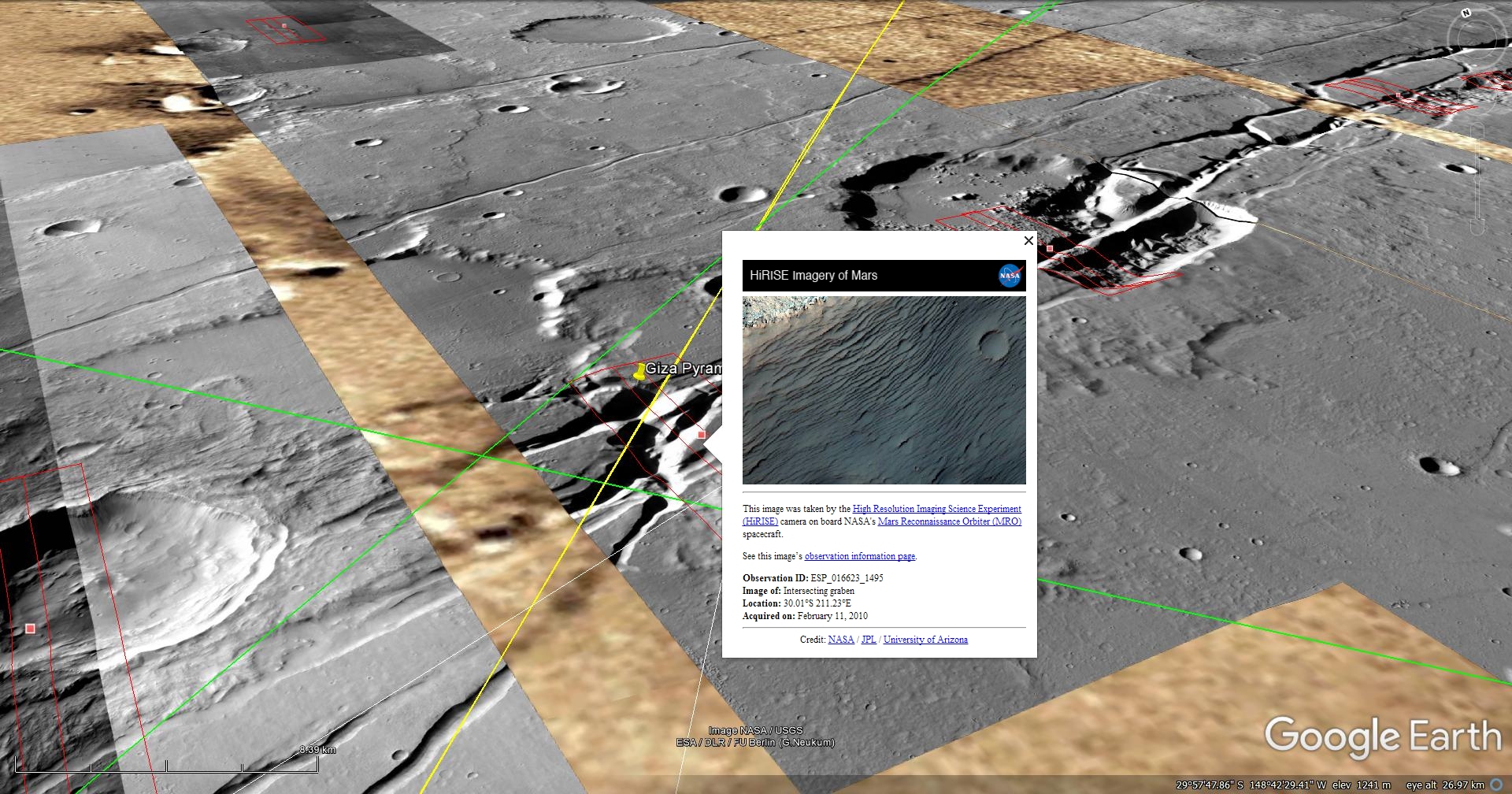
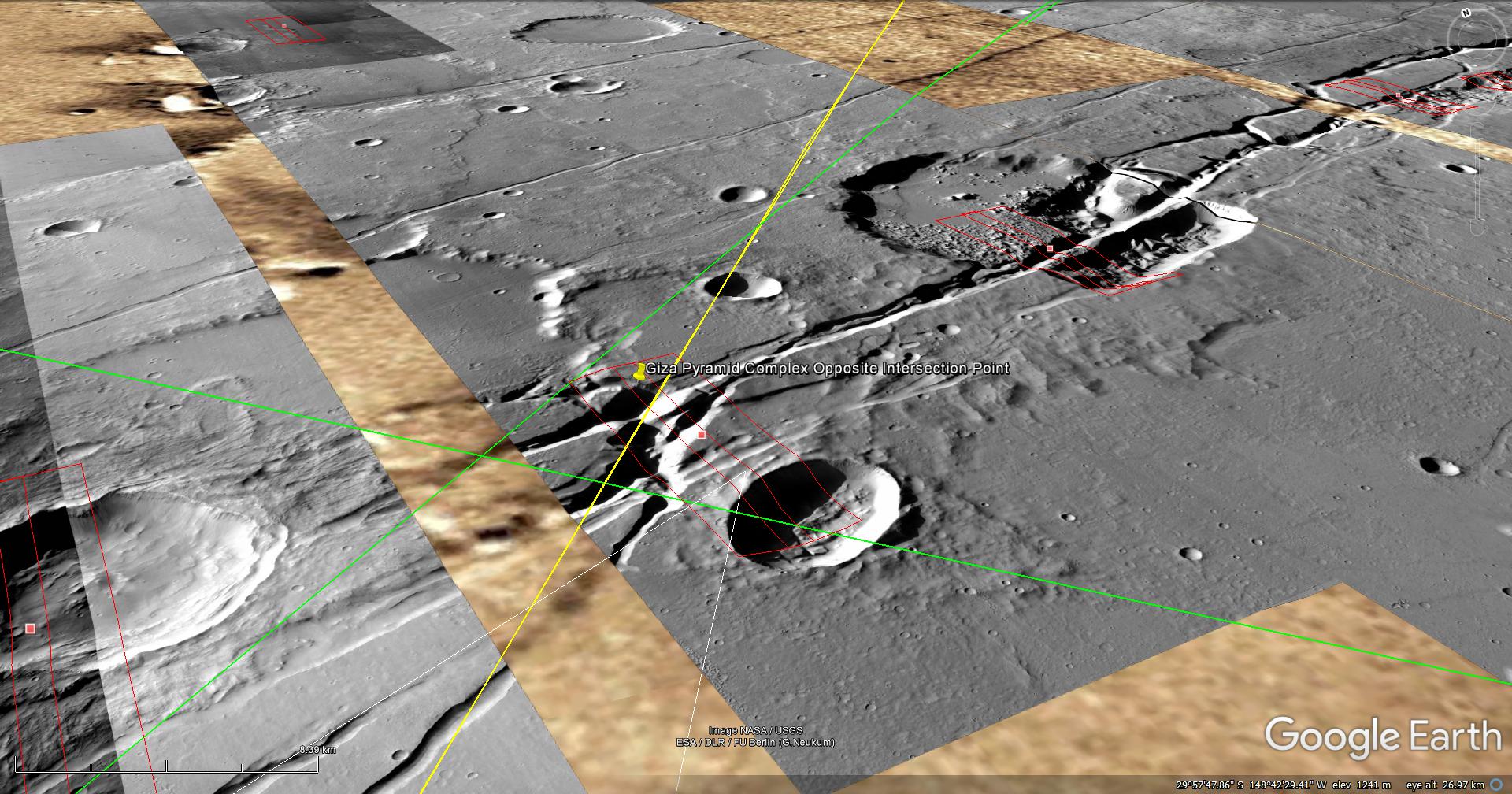
Thirdly the ‘Jackal’ links up with the center of the Asimov Ruins. A giant Monolith lying against a cliff face is located approximately 30 km’s to the south-east of these ruins.
The Kunowsky Pyramid and Martian surface Artwork are visible in two HiRISE photographs (PSP_006860_2370 and ESP_016314_2370) which were taken by NASA’s Mars Reconnaissance Orbiter (MRO) HiRISE Camera on 13 January 2008 and 18 January 2010 respectively. NASA describes the photographs as “Possible Olivine in Crater” and “Kunowsky Crater Central Peak” respectively.
Blog Post: https://mars.raptorzone.co.za/2018/07/16/the-kunowsky-giza-pyramid-complex-project/
Original NASA source:
Kunowsky Martian surface Artwork: https://hirise.lpl.arizona.edu/PSP_006860_2370
Kunowsky Pyramid: https://hirise.lpl.arizona.edu/ESP_016314_2370
Asimov Ruins and Giant Monolith: https://www.uahirise.org/ESP_012411_1320
Asimov Ruins: https://www.uahirise.org/PSP_003880_1325
Giza Pyramid Complex – Opposite Intersection Point: https://www.uahirise.org/ESP_016623_1495
Additional information:
Rock MELTING Technology at Ramappa Temple, India: https://www.youtube.com/watch?v=yaRwGIWLg28
My YouTube video featuring ‘SPECIAL EDITION The Ancient Megaliths and Ruins of Mars – The Evidence (Part 2):’
My YouTube video featuring ‘SPECIAL EDITION The Ancient Megaliths and Ruins of Mars – The Evidence (Part 1):’
Subscribe to my YouTube channel and turn on notifications to be notified when new videos are uploaded.
Also visit Twitter page @RaptorZN_.
Disclaimer:
Images saved from within HiView or CTX viewer do not include image scale indicators. The image scale indicators I include in images are based on the official resolutions provided by NASA and although I strive to be as accurate as possible there may be slight deviations from the actual scale. Image scale indicators are included as a size approximation tool only.
Geometry lines are mapped as accurately as possible using the limited information, data and mapping tools available at the time, therefore the lines may deviate from target sites by a few kilometres. Revisions may be made in the future as new, more precise information, data and mapping tools become available.
Many or all of the anomalies/artefacts covered in this presentation may be naturally occurring geological features caused by some type of geological processes, however due to the lack of specific information from the source we can only speculate whether these are all natural or some artificial in nature.
In cases where I say an anomaly looks like something I’m attempting to clarify what I see and not specifically that the anomaly is what I say it looks like.
My intention is only to share anomalies I’ve discovered on Mars and not to convince anyone that there is or was a civilization on Mars.
As Will Farrar from WhatsUpInTheSky says: “I see what I see, you see what you see.”