This photograph (ESP_017362_2650) was taken by NASA’s Mars Reconnaissance Orbiter (MRO) HiRISE Camera on 10 April 2010.
NASA describes this photograph as “Test Geographic Extent of Frost-Dust Avalanches on North Polar Scarps.”
I discovered long, parallel geological features which look anomalous due to their structure and geometry. They run parallel to each other and are almost perfectly straight with equally spaced “ribbing.” Could they be artificial, perhaps used to support pipes or the like?
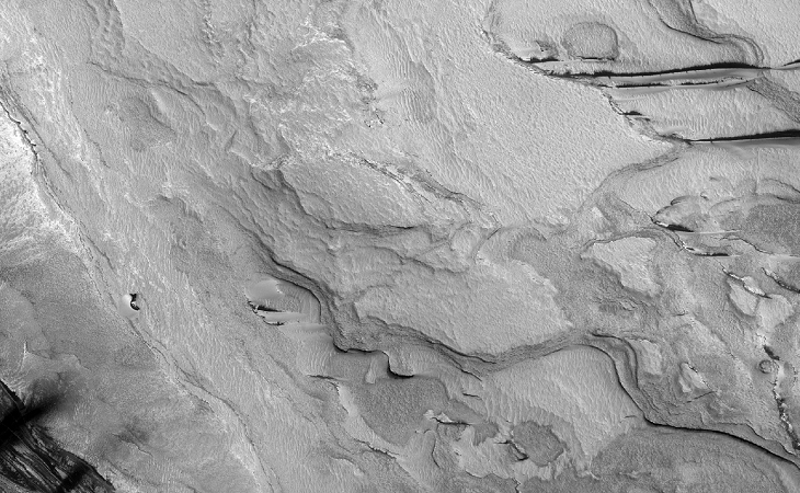
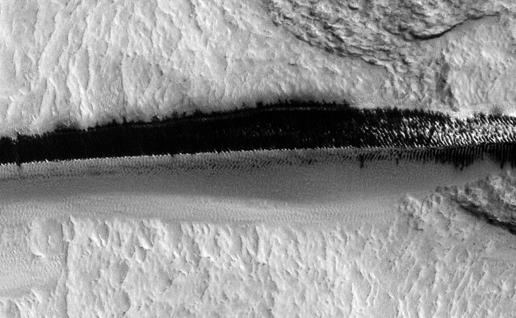
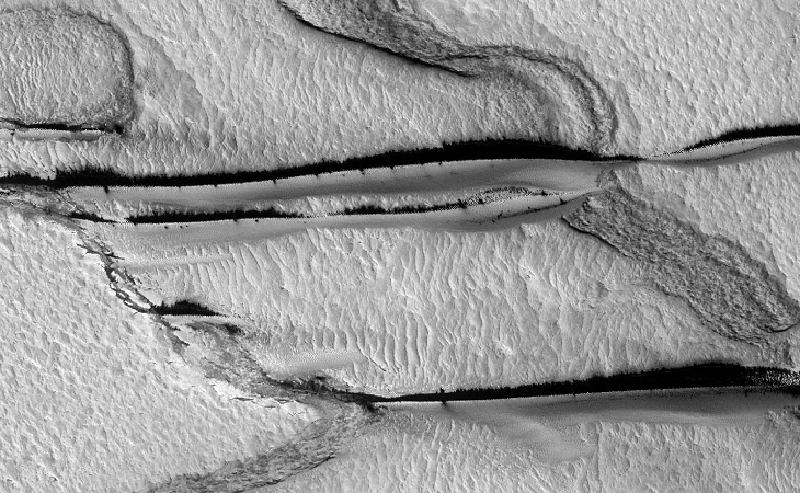
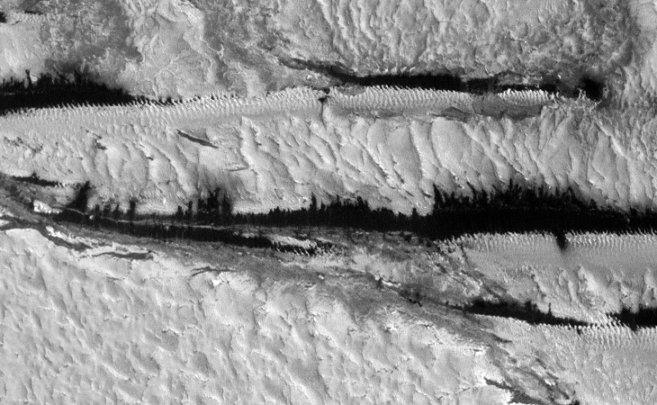
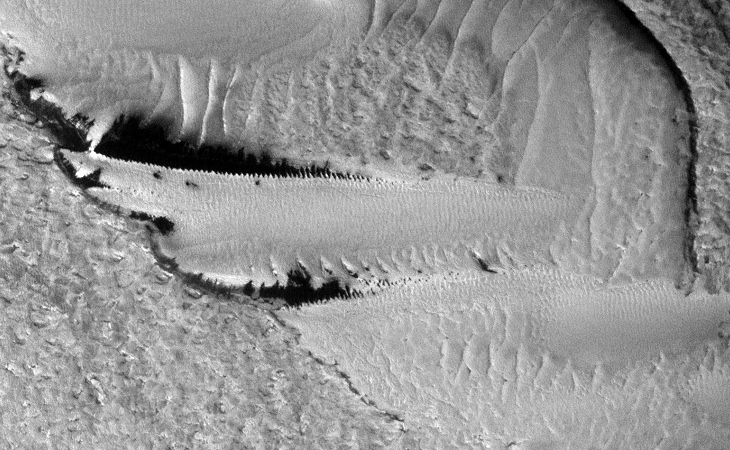

There’s also what appears to look like some kind of mining operations, e.g. open-pit quarry mines:
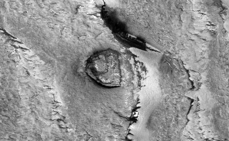
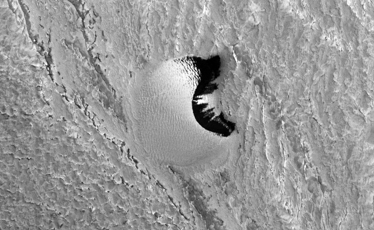
Original NASA source: https://www.uahirise.org/ESP_017362_2650
I downloaded the HiRise B&W Map-Projected JP2 file to view these anomalies.
Could these anomalies be artificial indicating some kind of intelligent design?
Subscribe to my YouTube channel and turn on notifications to be notified when new videos are uploaded.
Also visit Twitter page @RaptorZN_.
