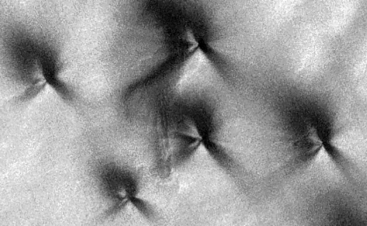
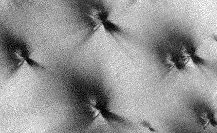
This photograph (ESP_028440_1100) was taken by NASA’s Mars Reconnaissance Orbiter (MRO) HiRISE Camera on 20 August 2012.
NASA describes this photograph as “USGS Dune Database Entry Number 1650-697.”
The name says it all … perhaps the image guys at NASA didn’t know what to make of these weird pyramid-like anomalies either.
The anomalies appear to consist of chevron-type centres and triangular-type pyramids on opposite sides and they look virtually identical. I see geometry, symmetry and structure in these anomalies.


Below is an illustration I did and my interpretation of the average shape and geometry of these anomalies:

Original NASA source: https://www.uahirise.org/ESP_028440_1100
I downloaded the HiRise B&W Map-Projected JP2 file to view these anomalies.
Could these be structures, vents, underground entrance-ways, habitats, plants or even craft or just natural occurring geological features?
If they are naturally occurring does anyone know how these shapes are produced in nature … erosion by wind, water, both?
Subscribe to my YouTube channel and turn on notifications to be notified when new videos are uploaded.
Also visit Twitter page @RaptorZN_.
