

This photograph was taken by NASA’s Mars Reconnaissance Orbiter (MRO) HiRISE Camera on 13 February 2008.
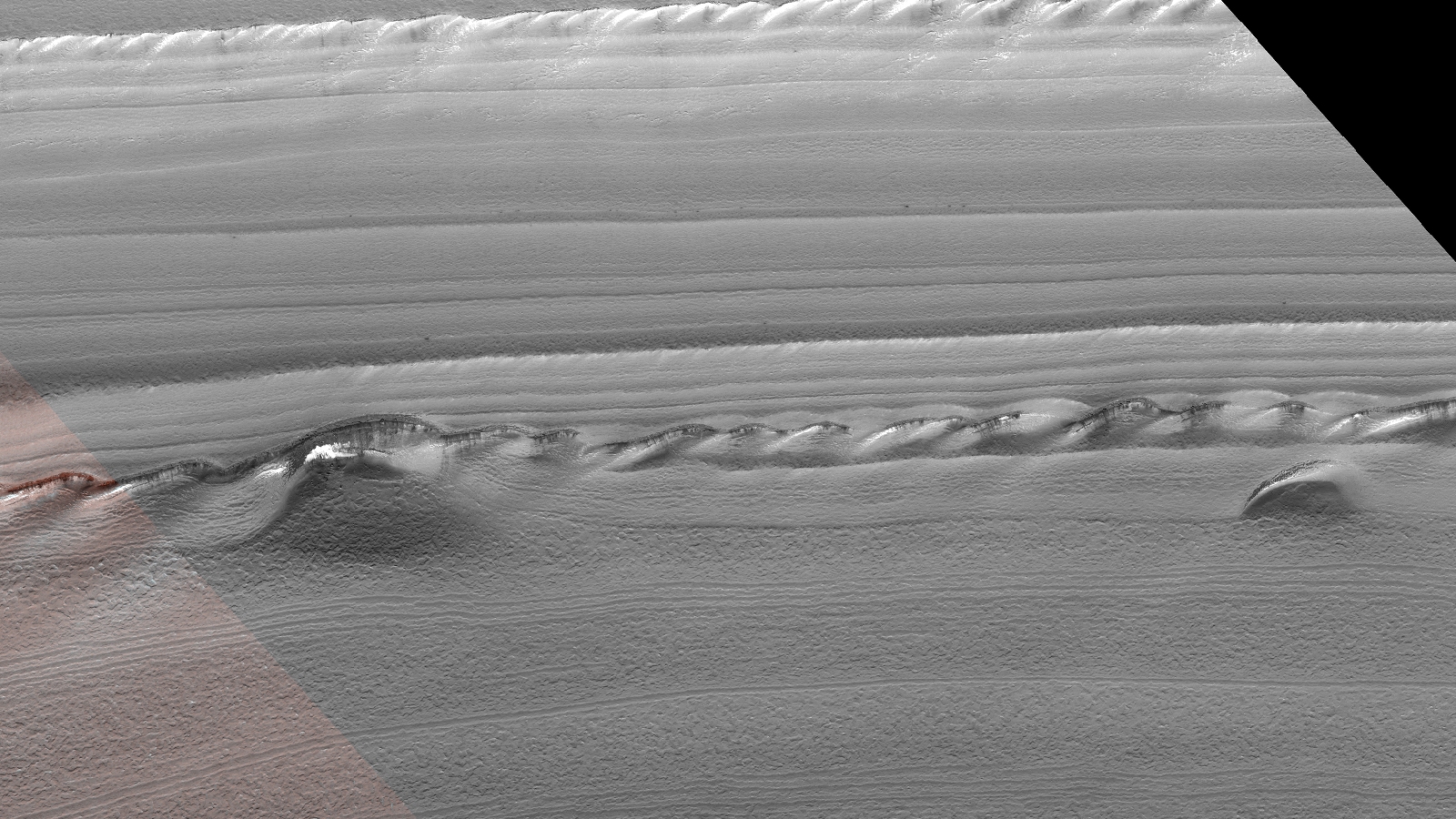
NASA describes this photograph as “North Polar Layered Deposit Exposure.”
I discovered what might be elaborate photo manipulation to possibly hide something NASA does not want us to see.
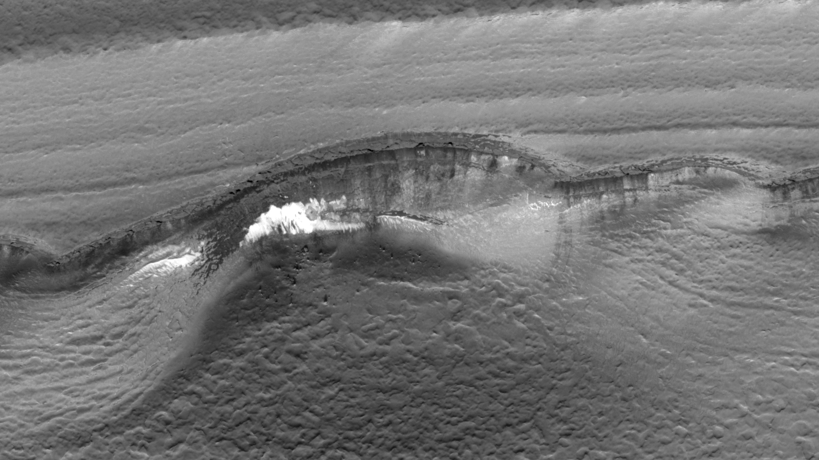
I noticed two area’s which look out of place, almost as if they have been copied, pasted and altered to look natural.
Below is a control image, used for comparison, cropped from the original NASA photograph, it shows the ridge line, cliffs, base and liquid flows:
Below is the first anomaly, note the captions:

Below is the second anomaly, note the captions:
Original NASA source: https://hirise.lpl.arizona.edu/PSP_007267_2595
I downloaded the HiRise Merged RGB Map-Projected JP2 file to view these anomalies.
Are these natural geological formations or did NASA manipulate this photograph to hide something?
Subscribe to my YouTube channel and turn on notifications to be notified when new videos are uploaded.
Also visit Twitter page @RaptorZN_.