

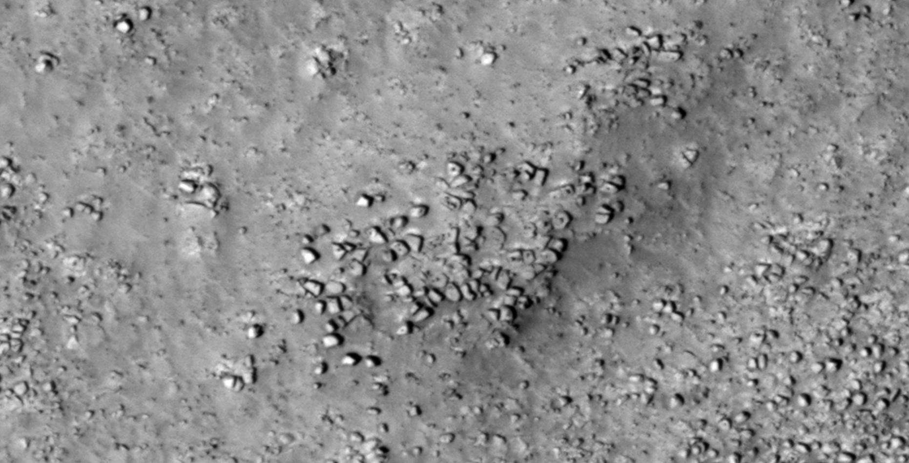
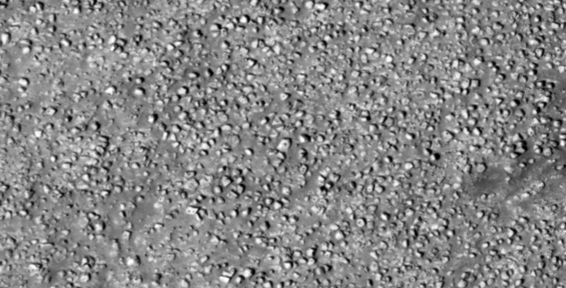
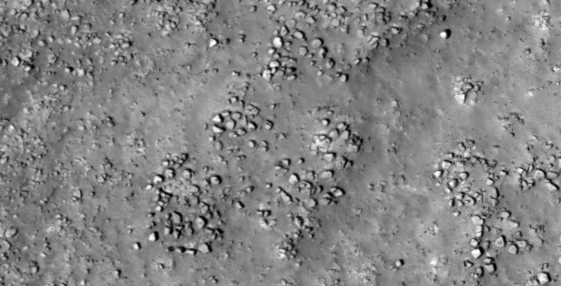
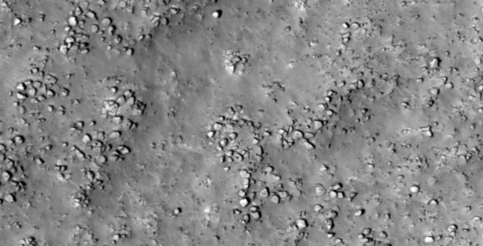
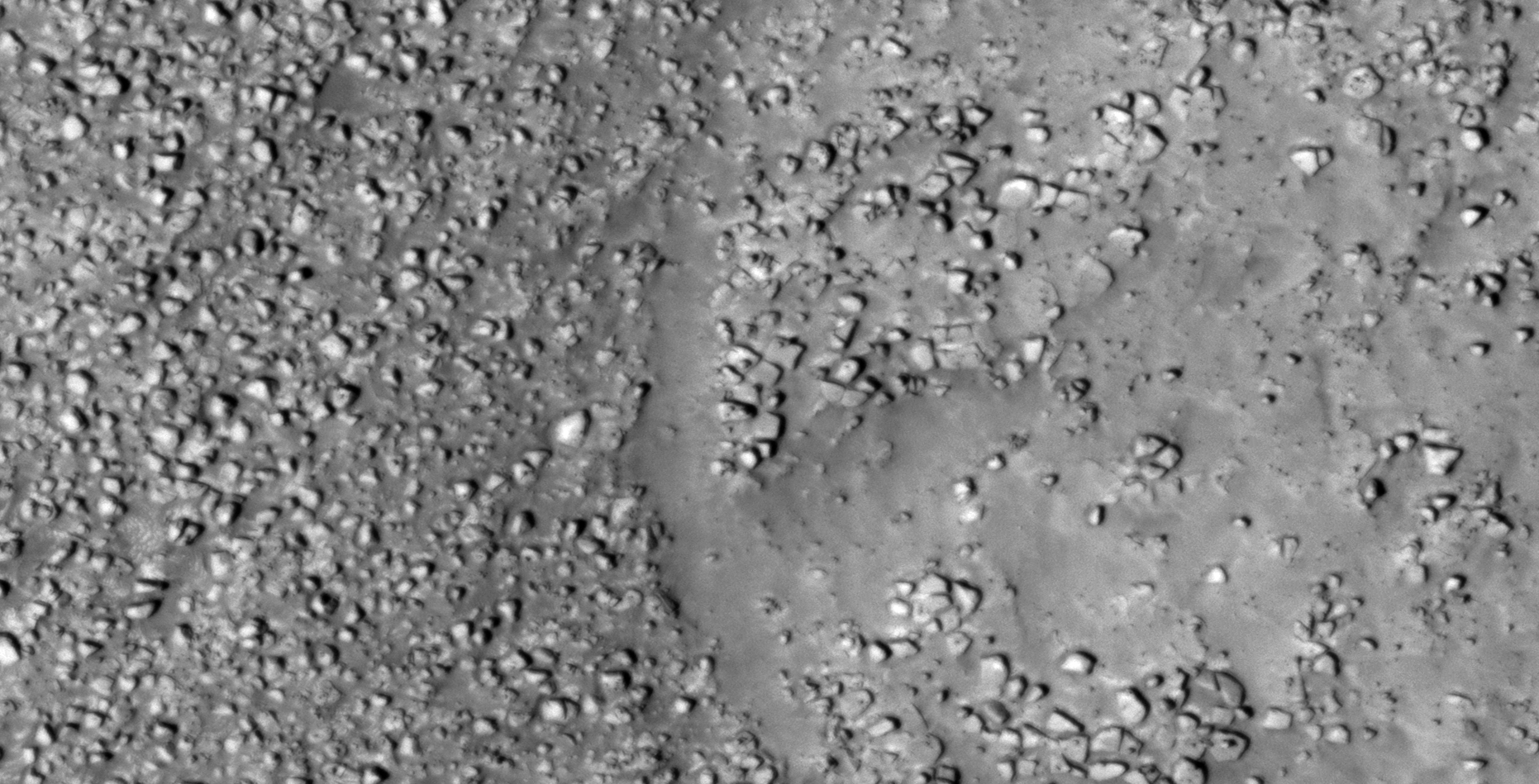
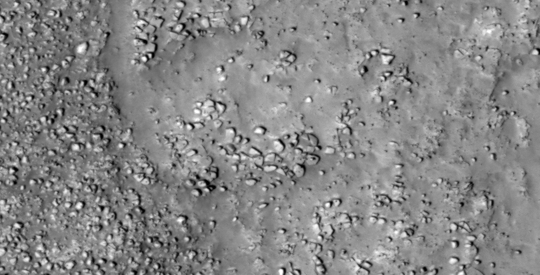
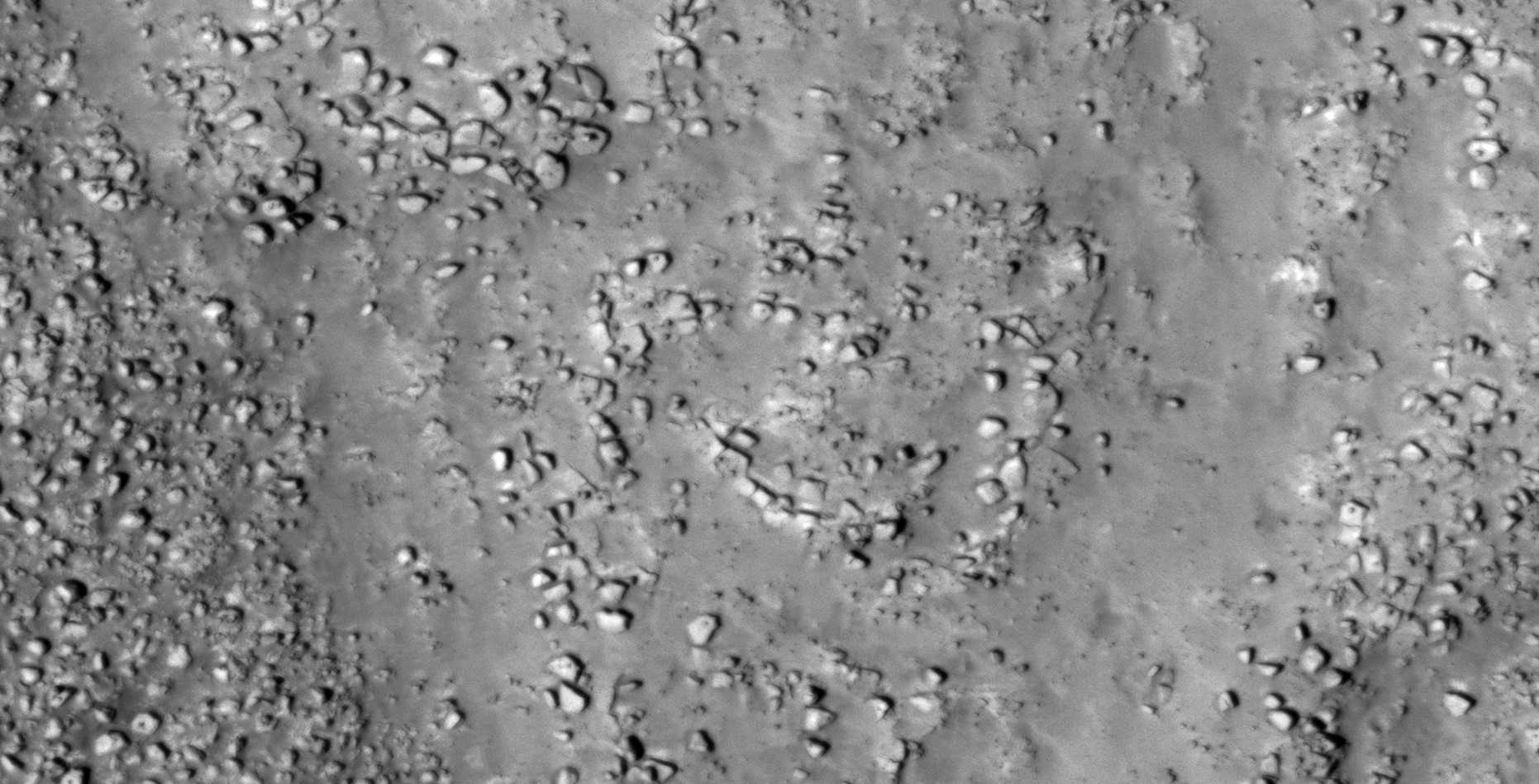
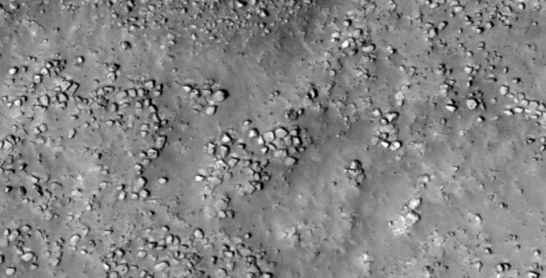
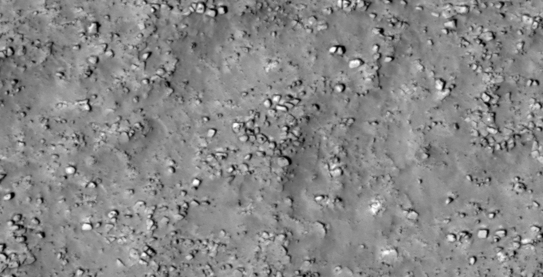
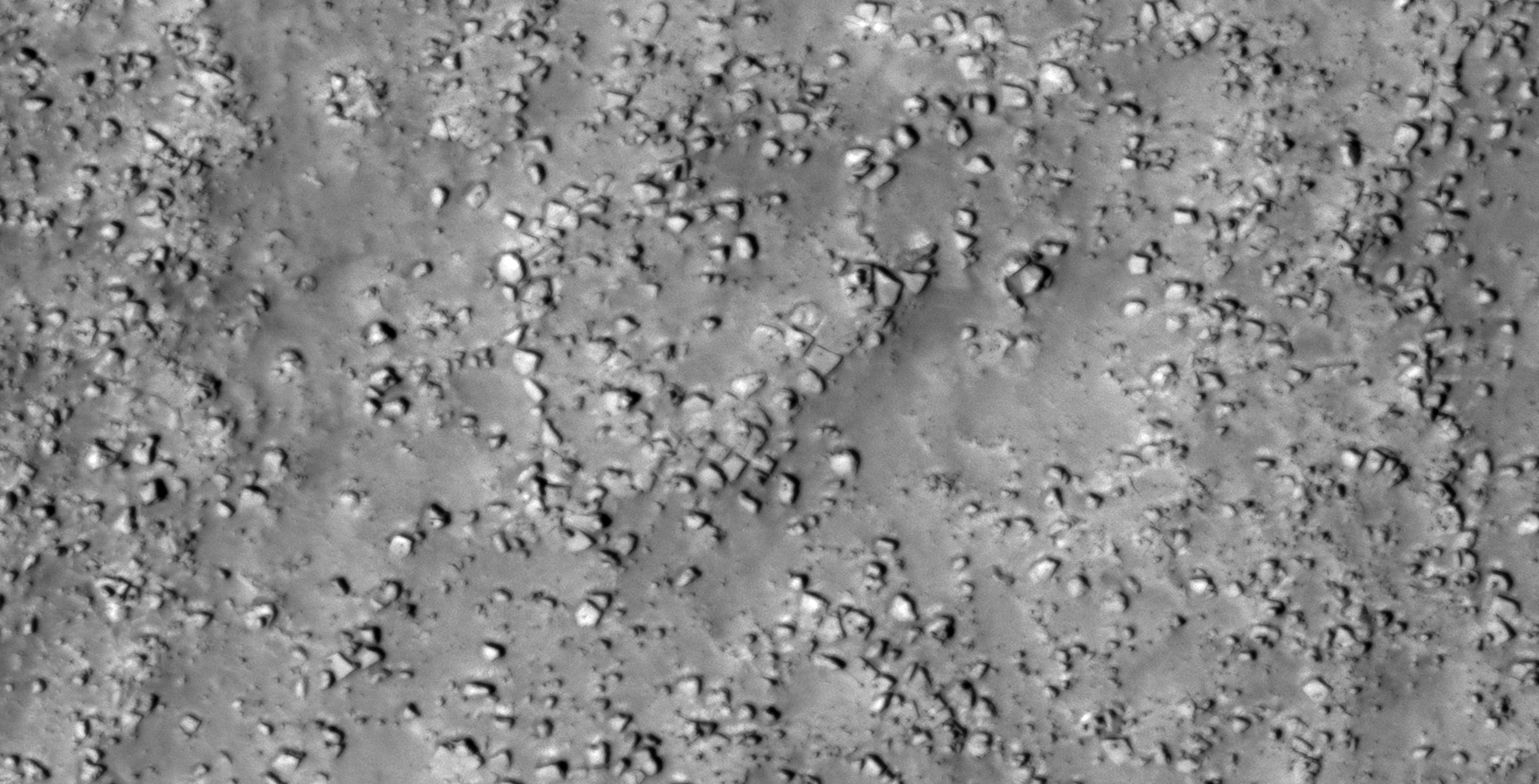
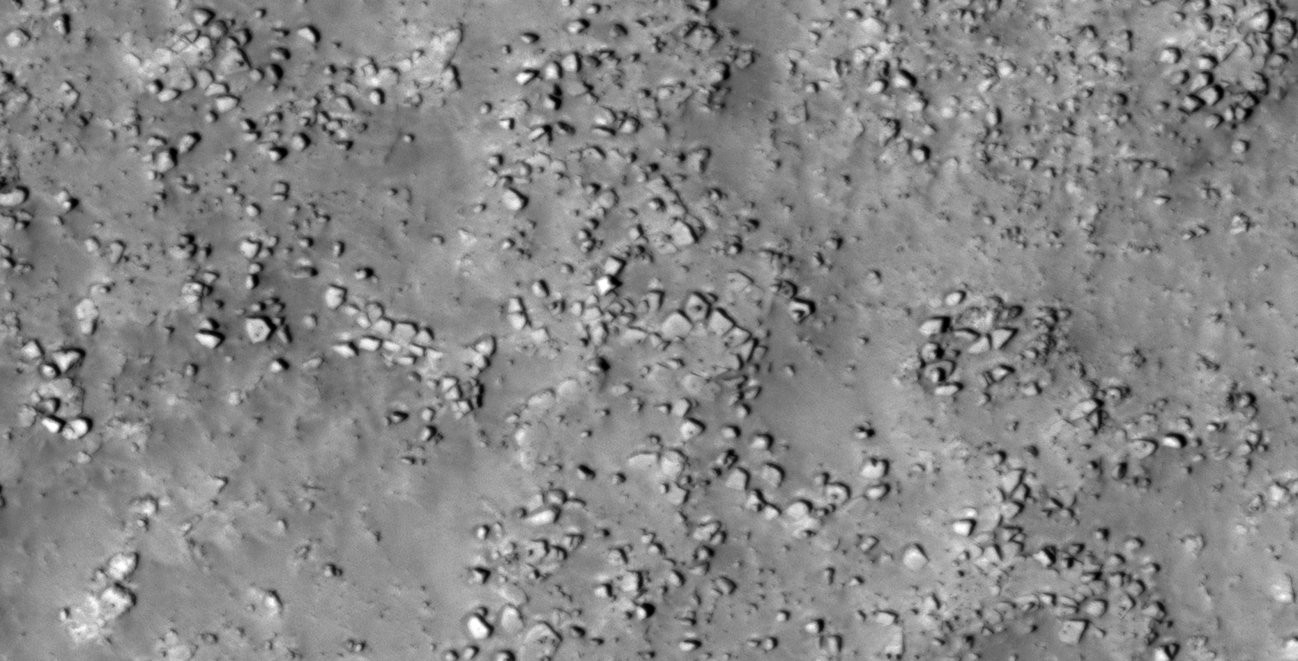
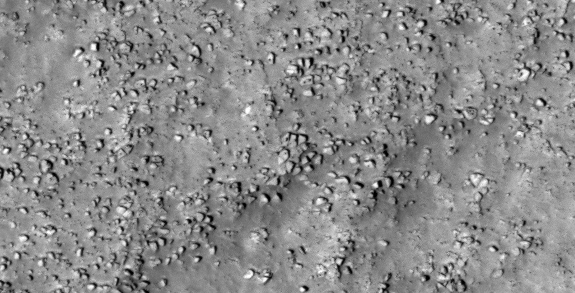
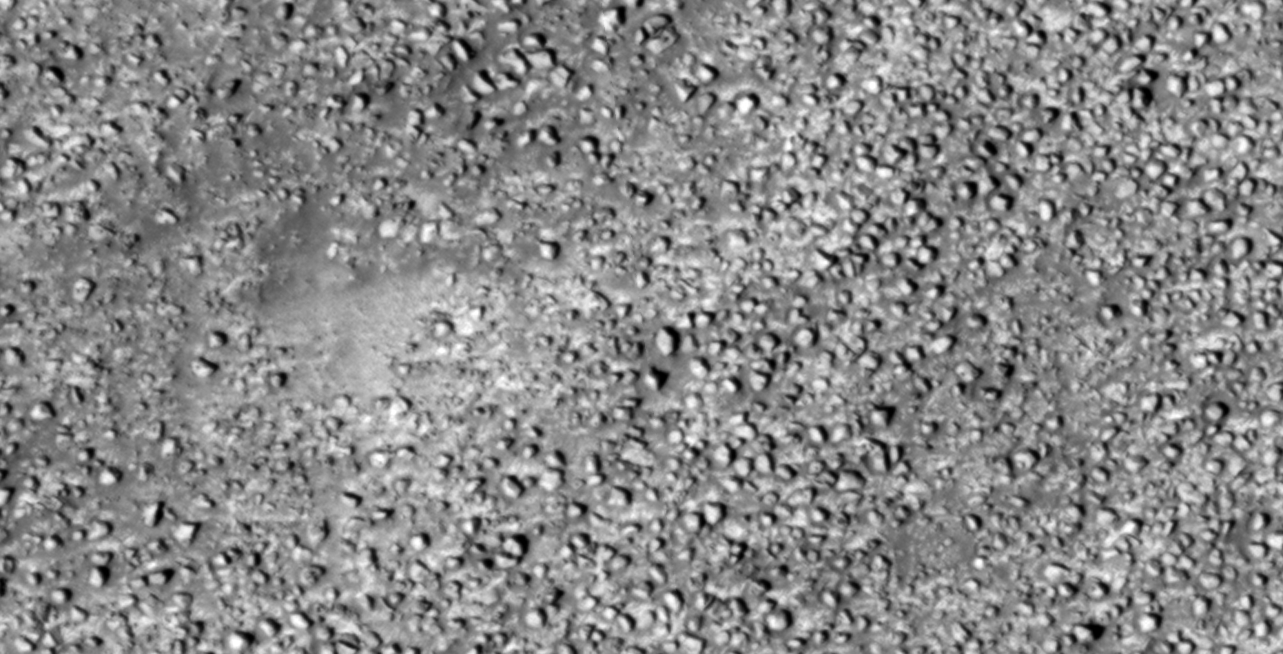
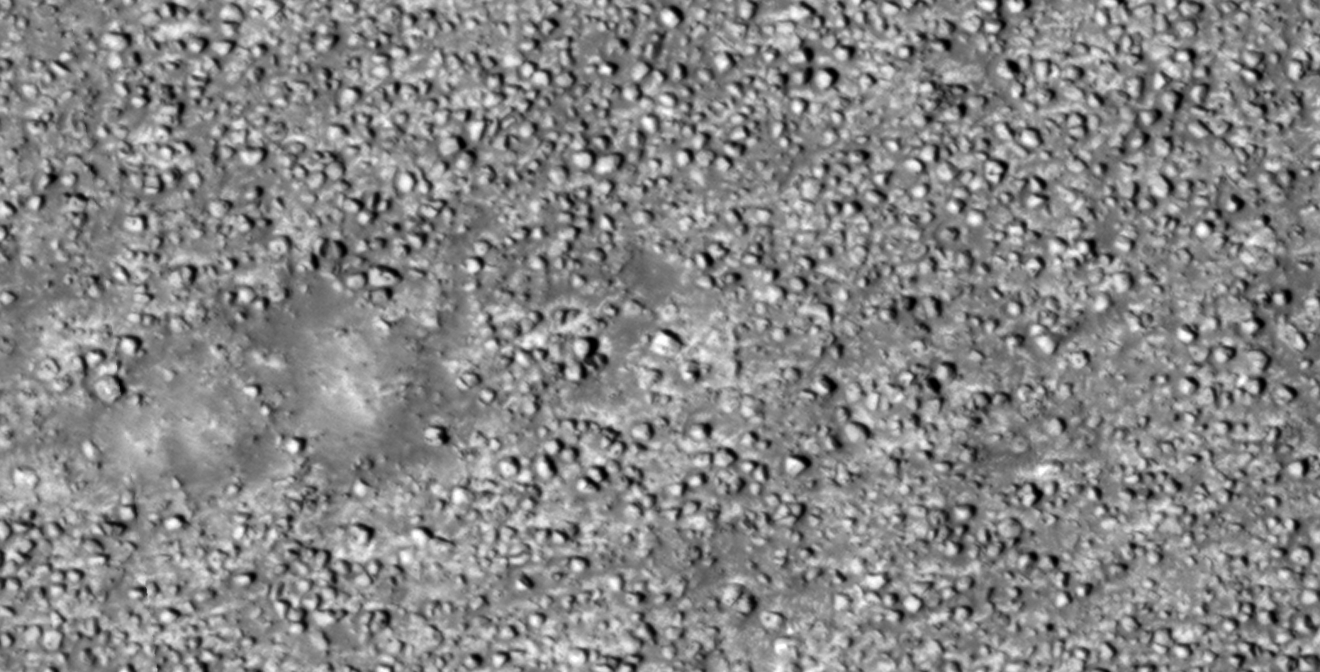
The photograph analyzed here (ESP_052506_2290) was taken by NASA’s Mars Reconnaissance Orbiter on 08 October 2017 and is described as ‘Boulder Field at Distal Edge of Vivero Crater Ejecta.’
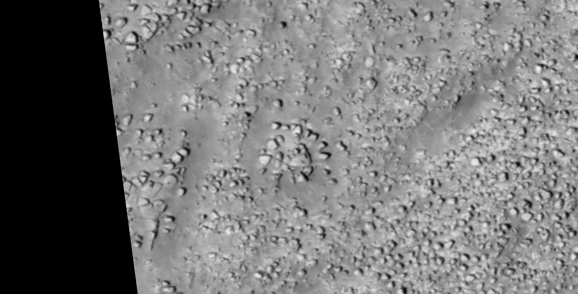
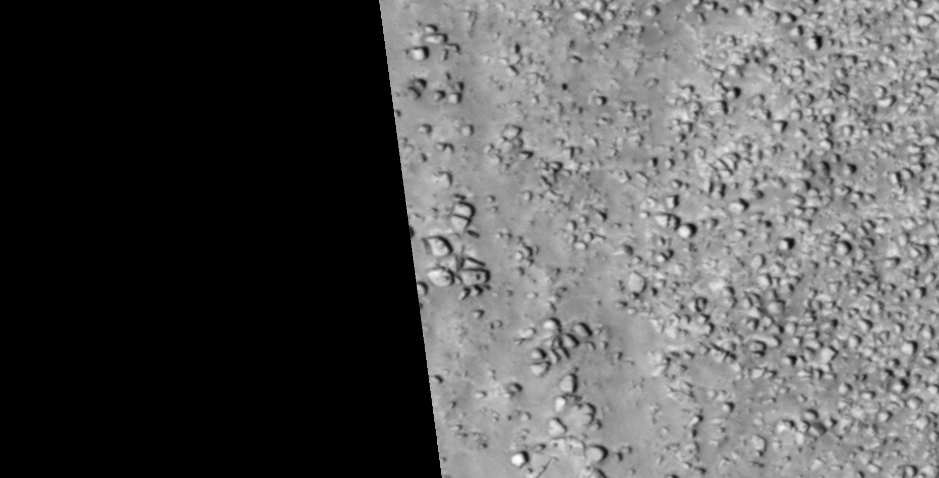
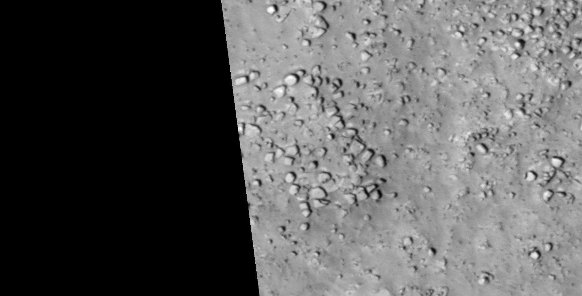
Here I speculate that I may have discovered further evidence of destroyed megalithic ruins consisting of megaliths, some with knobs.
This HiRISE photograph is of a low resolution quality and appears slightly out of focus; best effort was done in bringing out detail in the following images cropped from the original NASA photograph.
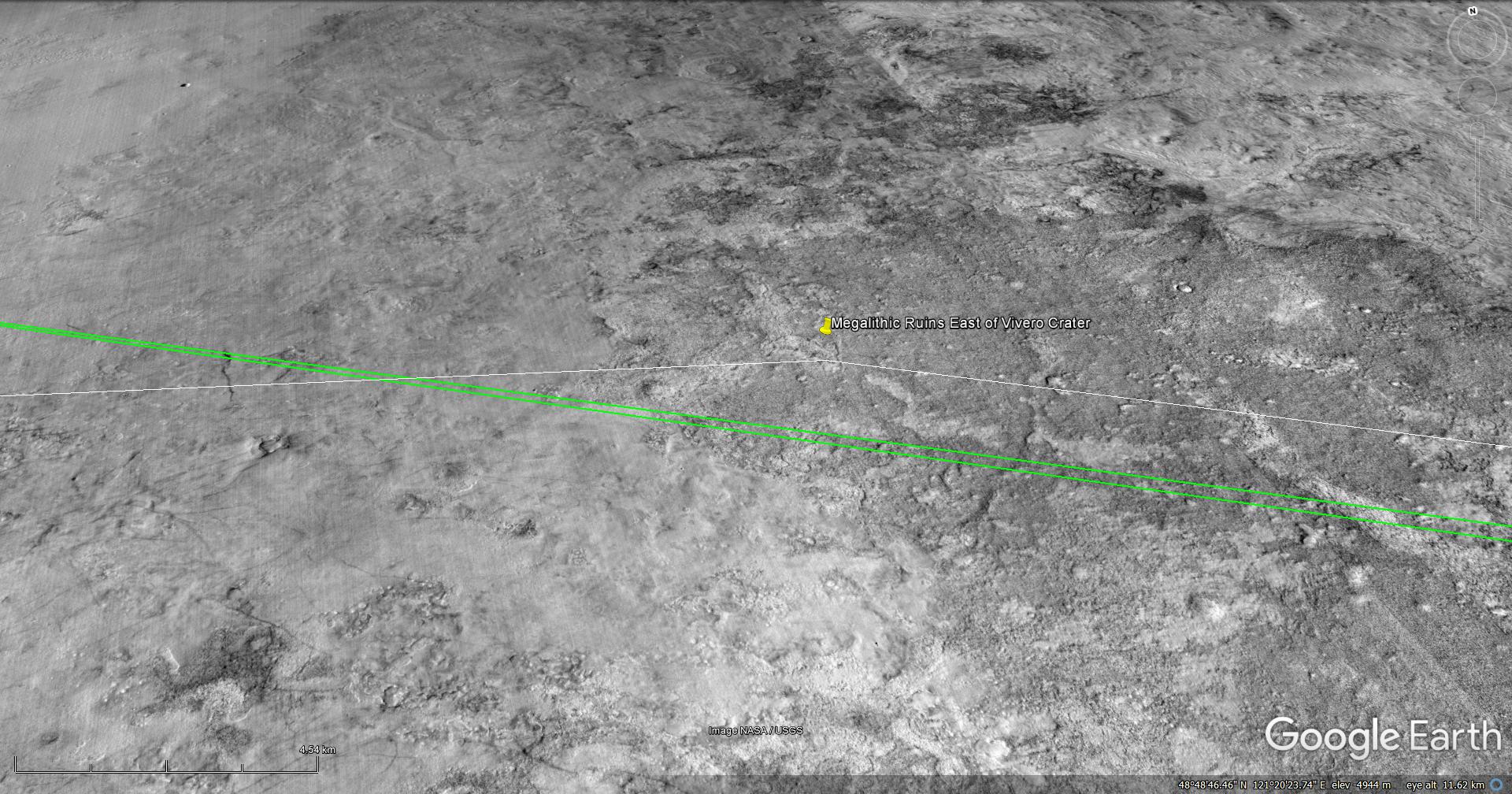
Note that at the time this image was produced in Google Earth Mars this particular HiRISE photograph had not been uploaded to Google Earth Mars.
Original NASA source:
https://www.uahirise.org/ESP_052506_2290
My YouTube video featuring ‘Megalithic Ruins East of Vivero Crater on Mars:’
Subscribe to my YouTube channel and turn on notifications to be notified when new videos are uploaded.
Also visit Twitter page @RaptorZN_.
Disclaimer:
Images saved from within HiView or CTX viewer do not include image scale indicators. The image scale indicators I include in images are based on the official resolutions provided by NASA and although I strive to be as accurate as possible there may be slight deviations from the actual scale. Image scale indicators are included as a size approximation tool only.
Geometry lines are mapped as accurately as possible using the limited information, data and mapping tools available at the time, therefore the lines may deviate from target sites by a few kilometres. Revisions may be made in the future as new, more precise information, data and mapping tools become available.
Many or all of the anomalies/artefacts covered in this presentation may be naturally occurring geological features caused by some type of geological processes, however due to the lack of specific information from the source we can only speculate whether these are all natural or some artificial in nature.
In cases where I say an anomaly looks like something I’m attempting to clarify what I see and not specifically that the anomaly is what I say it looks like.
My intention is only to share anomalies I’ve discovered on Mars and not to convince anyone that there is or was a civilization on Mars.
As Will Farrar from WhatsUpInTheSky says: “I see what I see, you see what you see.”