

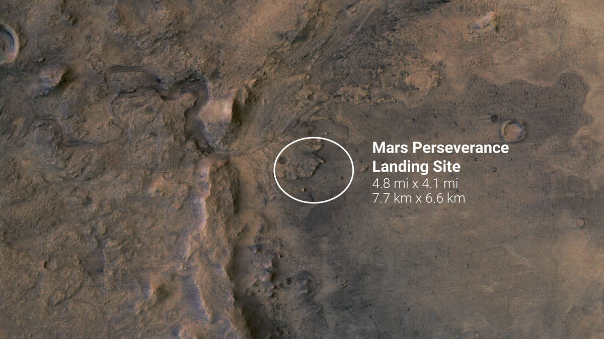
Two photographs are analyzed here (ESP_037818_1990 and PSP_002743_1985) and were acquired by NASA’s Mars Reconnaissance Orbiter on 21 August 2014 and 26 February 2007 and are described as ‘Candidate Landing Site for 2020 Mission in Jezero Crater’ and ‘Proposed MSL Site in Nili Fossae Crater’ respectively
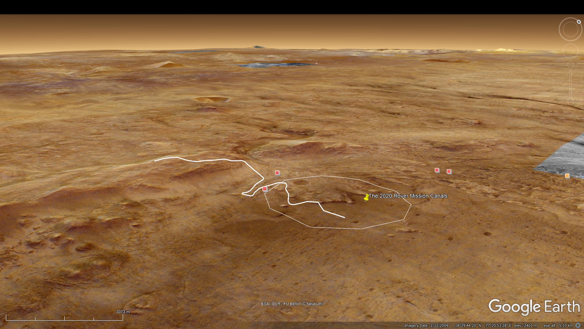
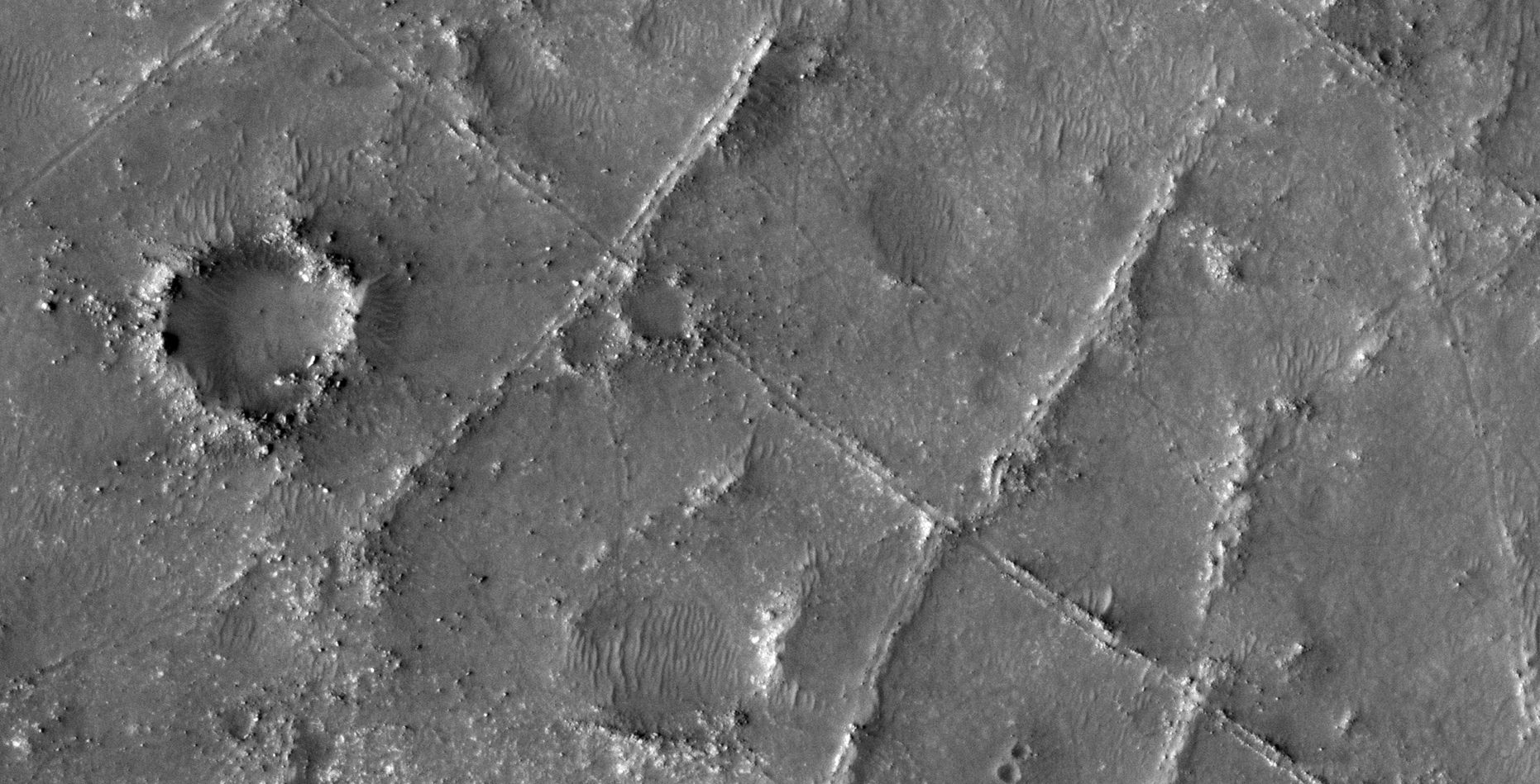
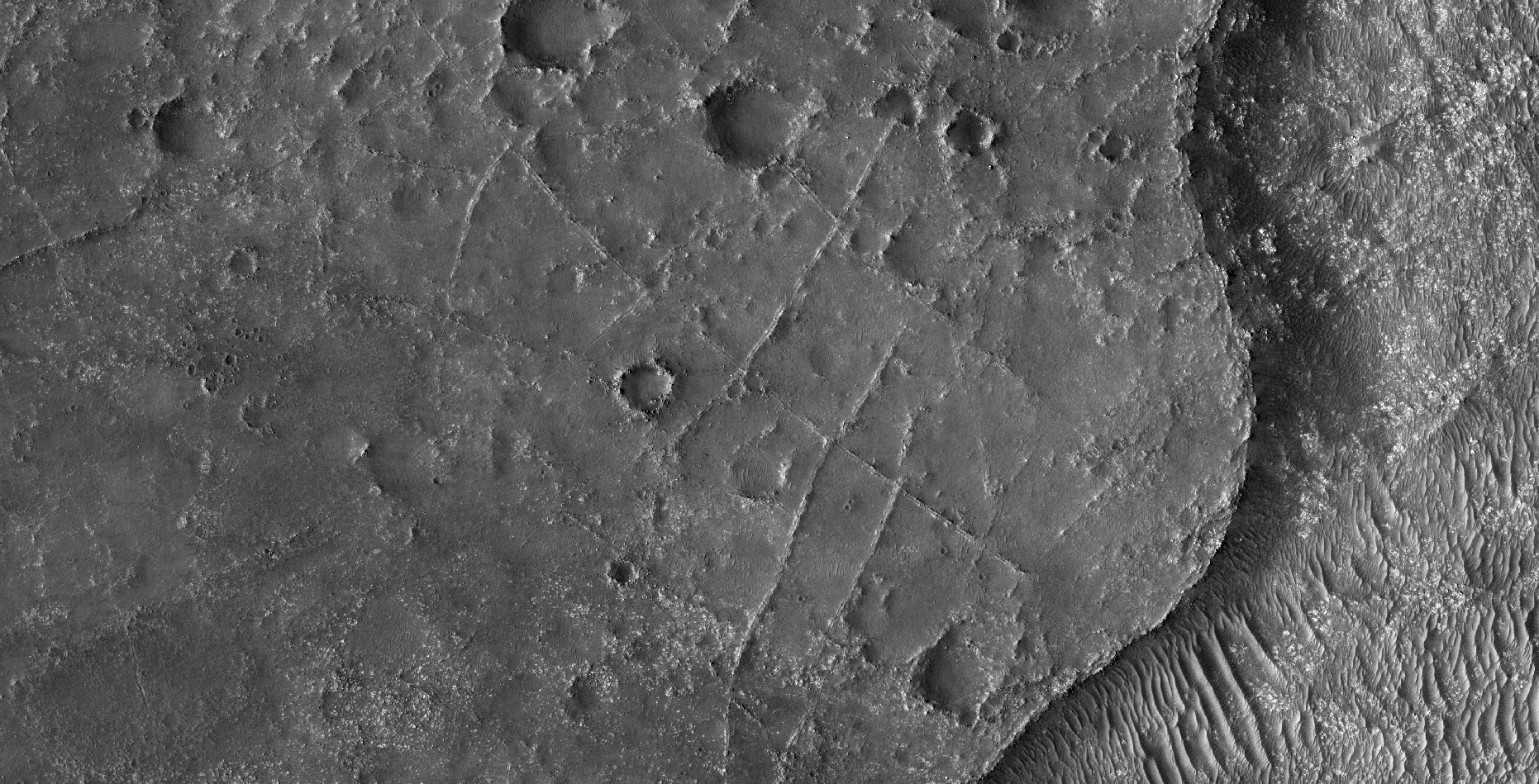
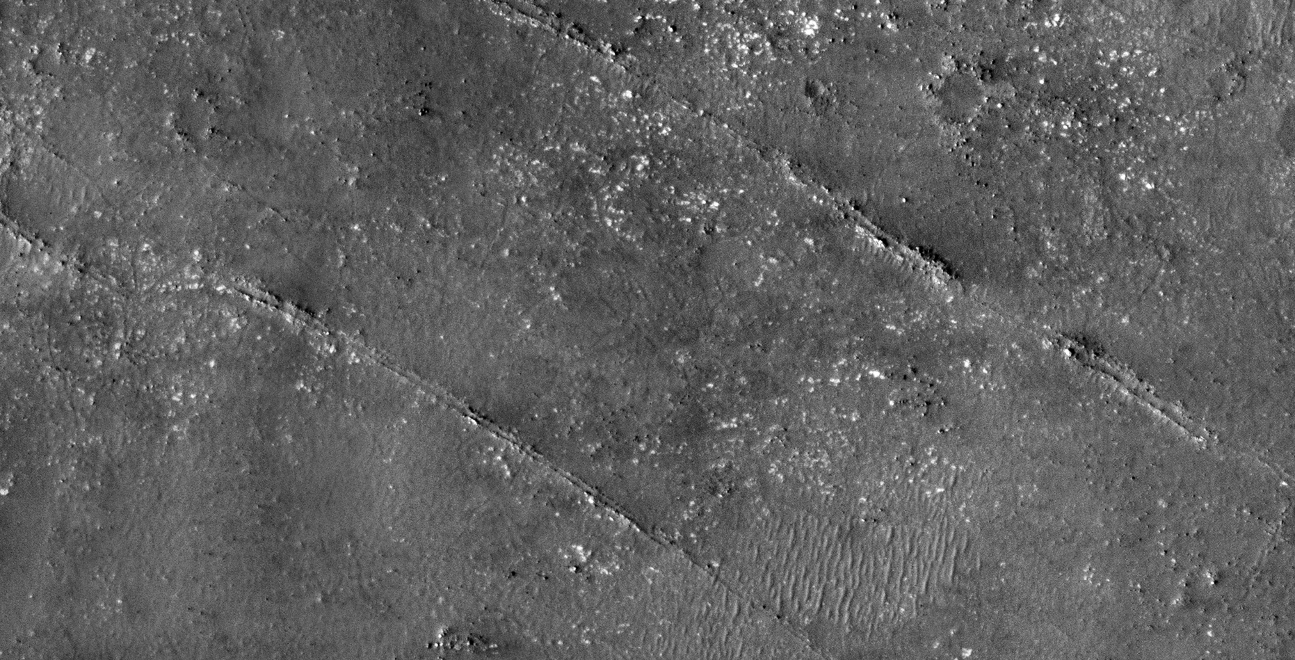
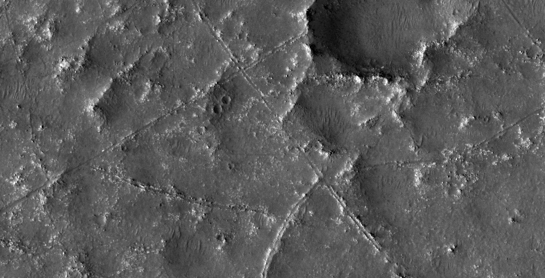
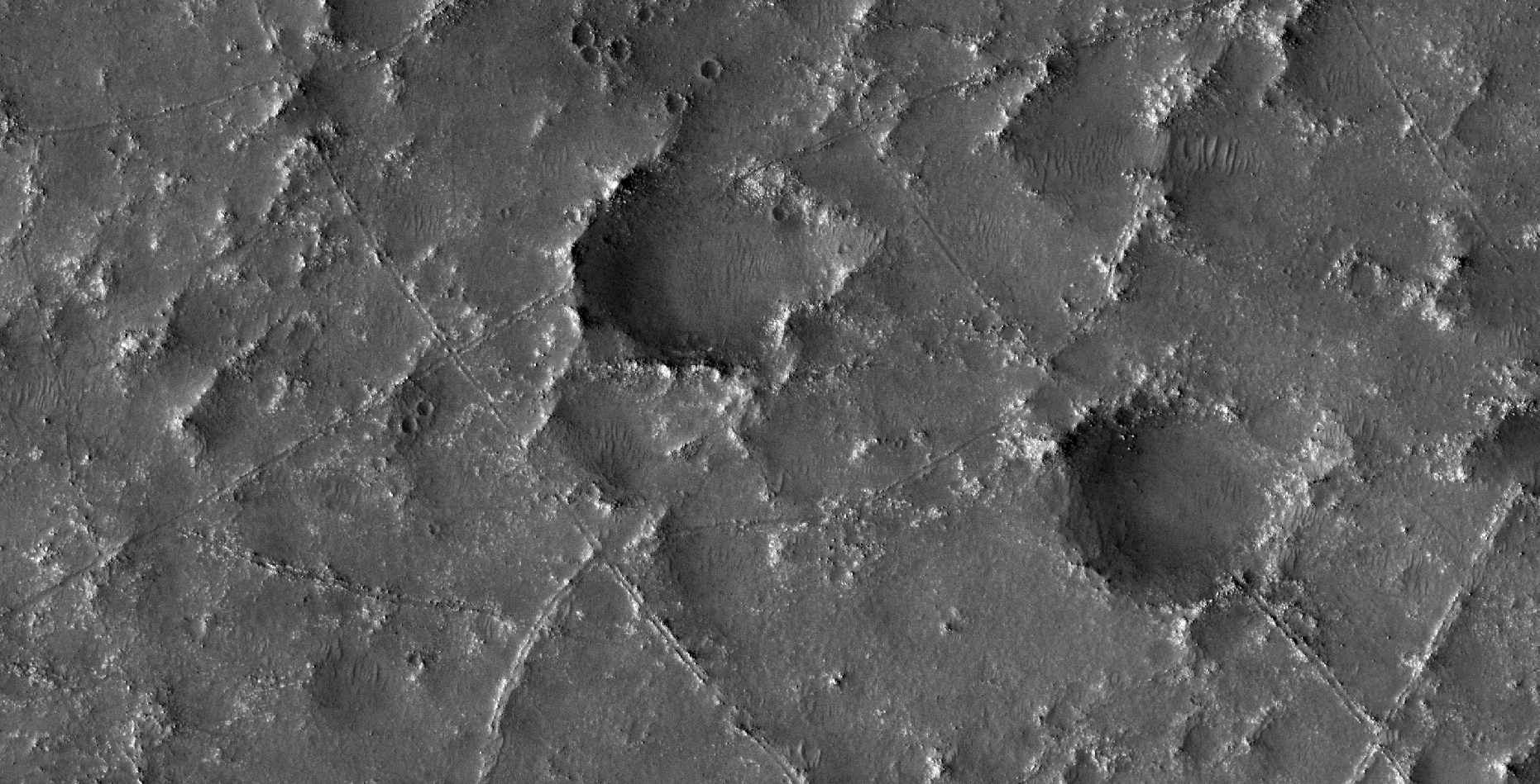
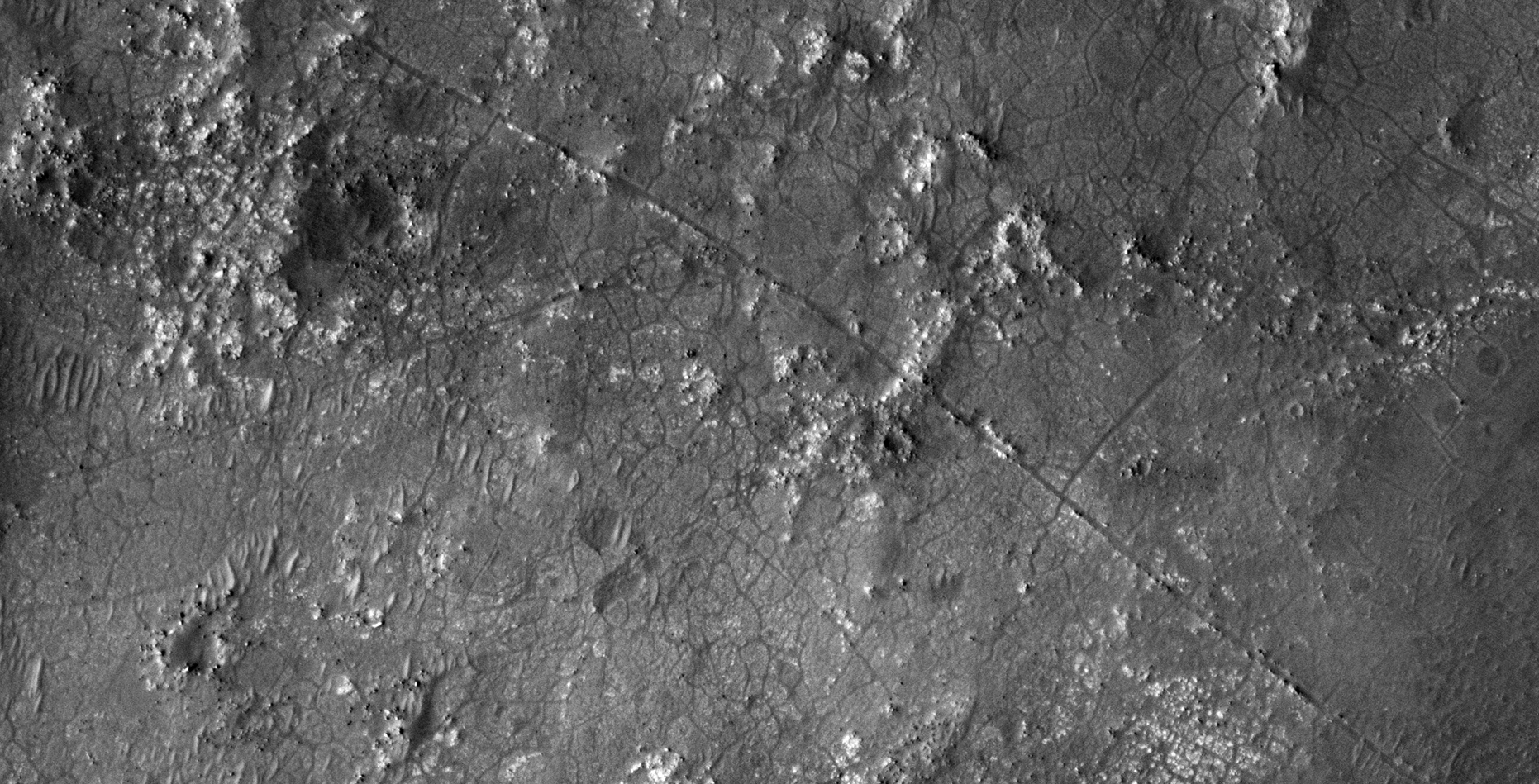
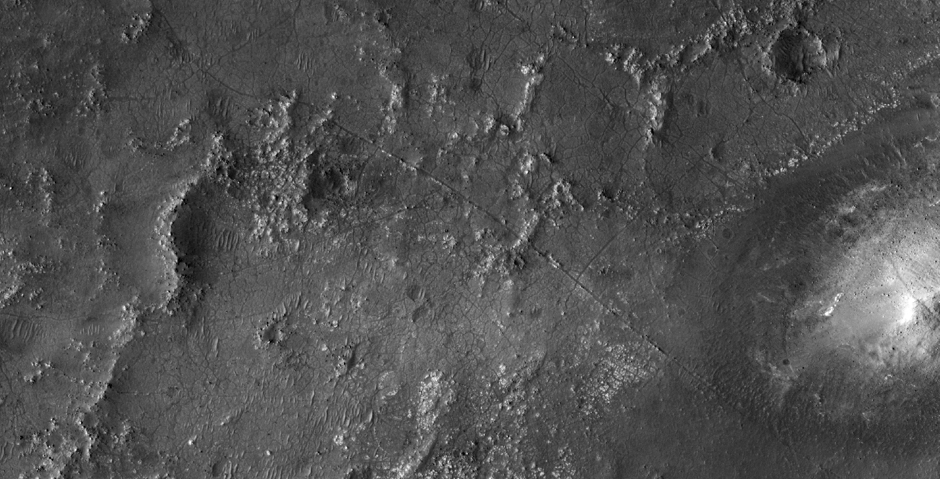
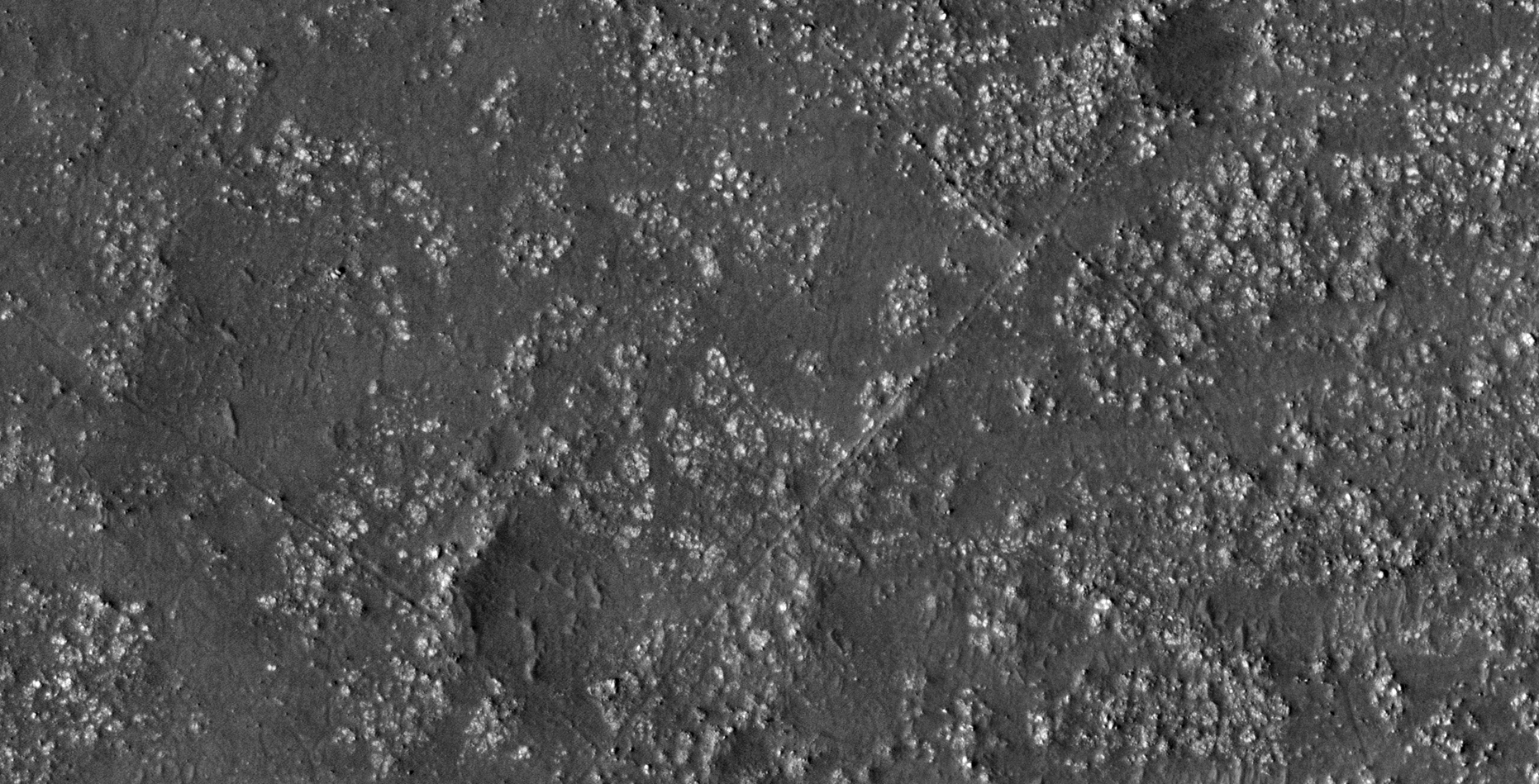
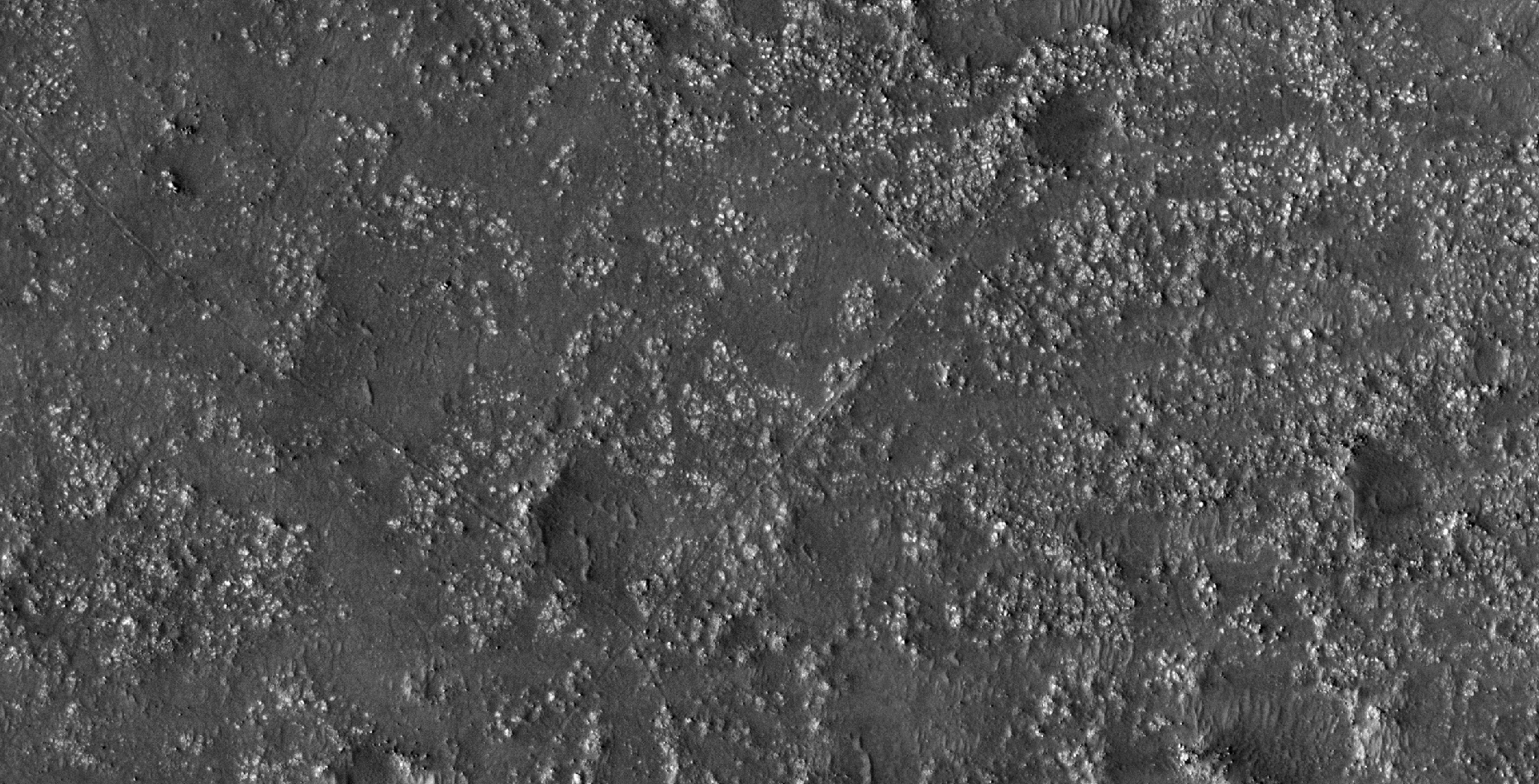
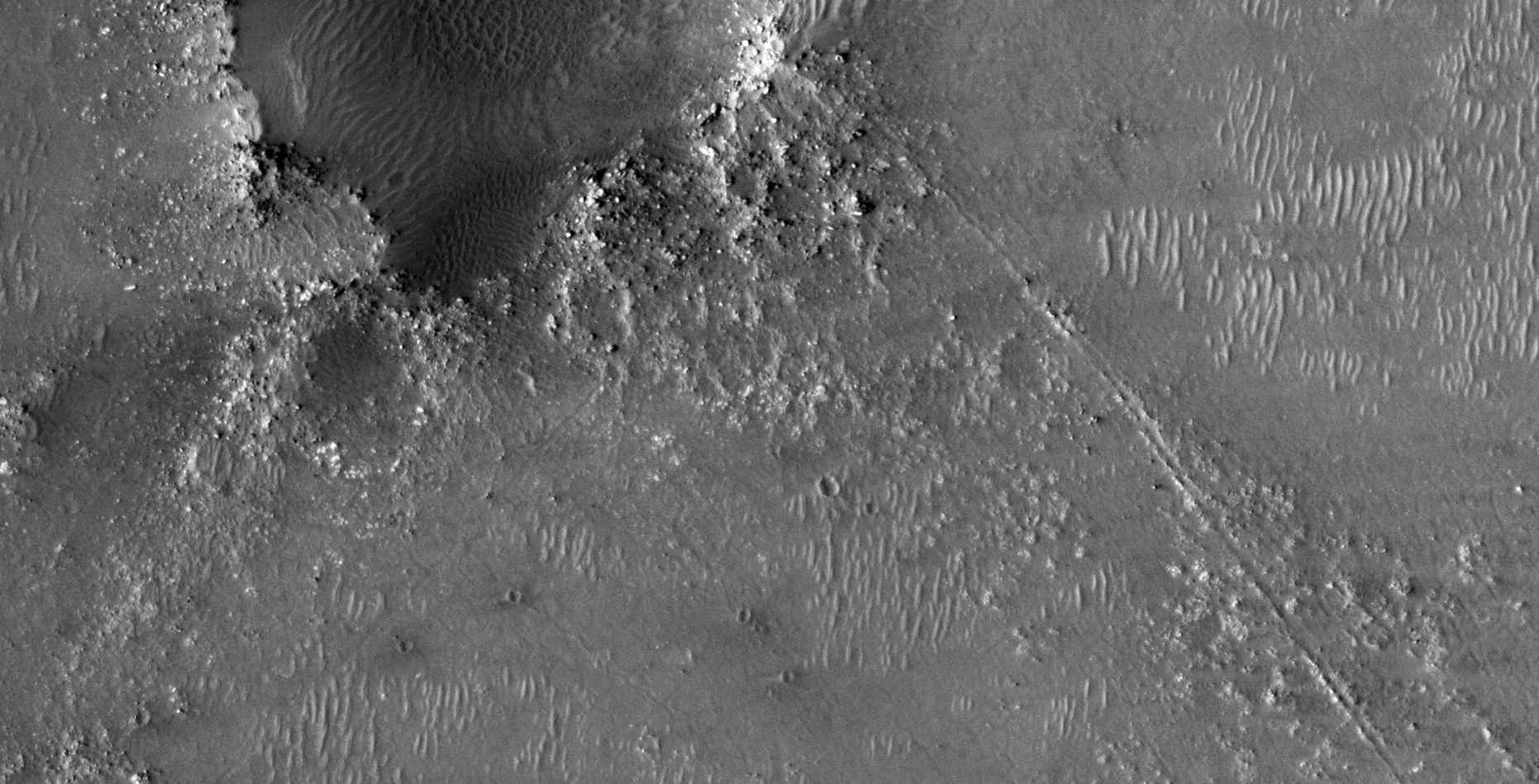
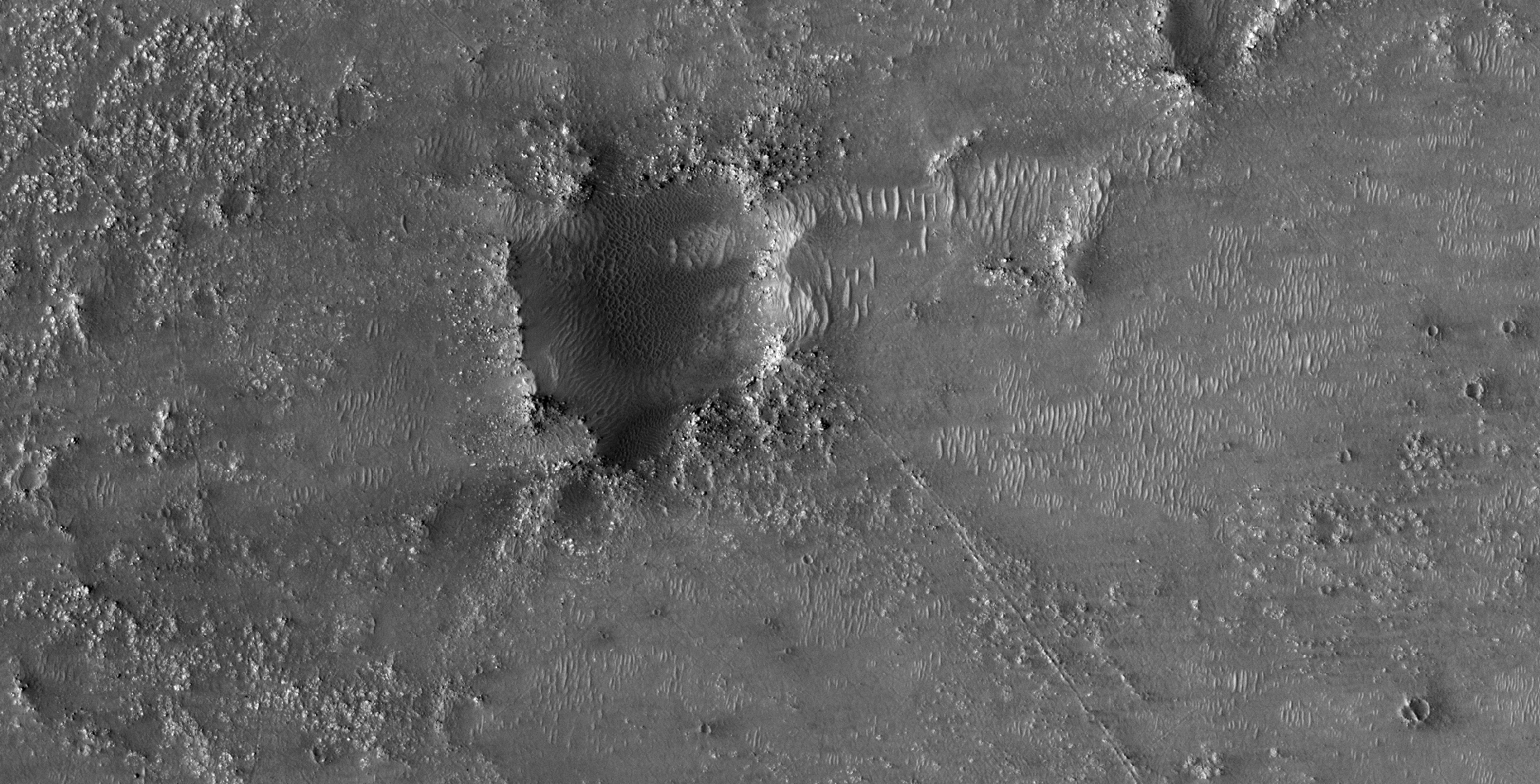
Feature here are anomalies I discovered in two sites located in Jezero. These anomalies include what I speculate might be the the remains of canals, trenches, roads and/or outlines of ancient structures; they run parallel to one another and seem to cut through hills and features on the surface which makes a compelling case that these might have been carved into the surface (ridges on either side indicate the trenches were made by something that likely pushed the material to either side of the trenches). There are also huge square depressions parallel to these and often the trenches run up to and intersect one side and stopping. Might these square depressions be ancient dams or reservoirs with canals feeding water to smaller tributaries that run at 45 degrees to these (like we see in agricultural framing here on Earth)?
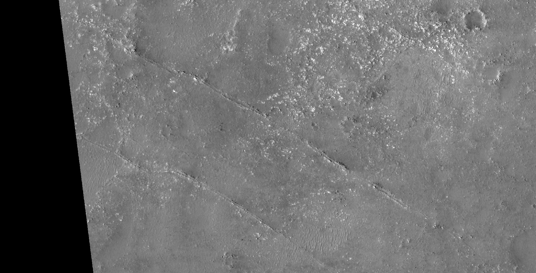
Seen are what I speculate to be large canals (4 to 5 m wide), feeding a network of smaller canals. The canals are straight and intersect at right-angles. The larger canals seem to originate at large circular depressions, perhaps dams/water reservoirs?
Could this be an old agricultural area? Maybe these anomalies are what are left of roads and an elaborate transport system?
As always, until we get to see these anomalies up close and personal, I can only speculate as to what these objects might be.
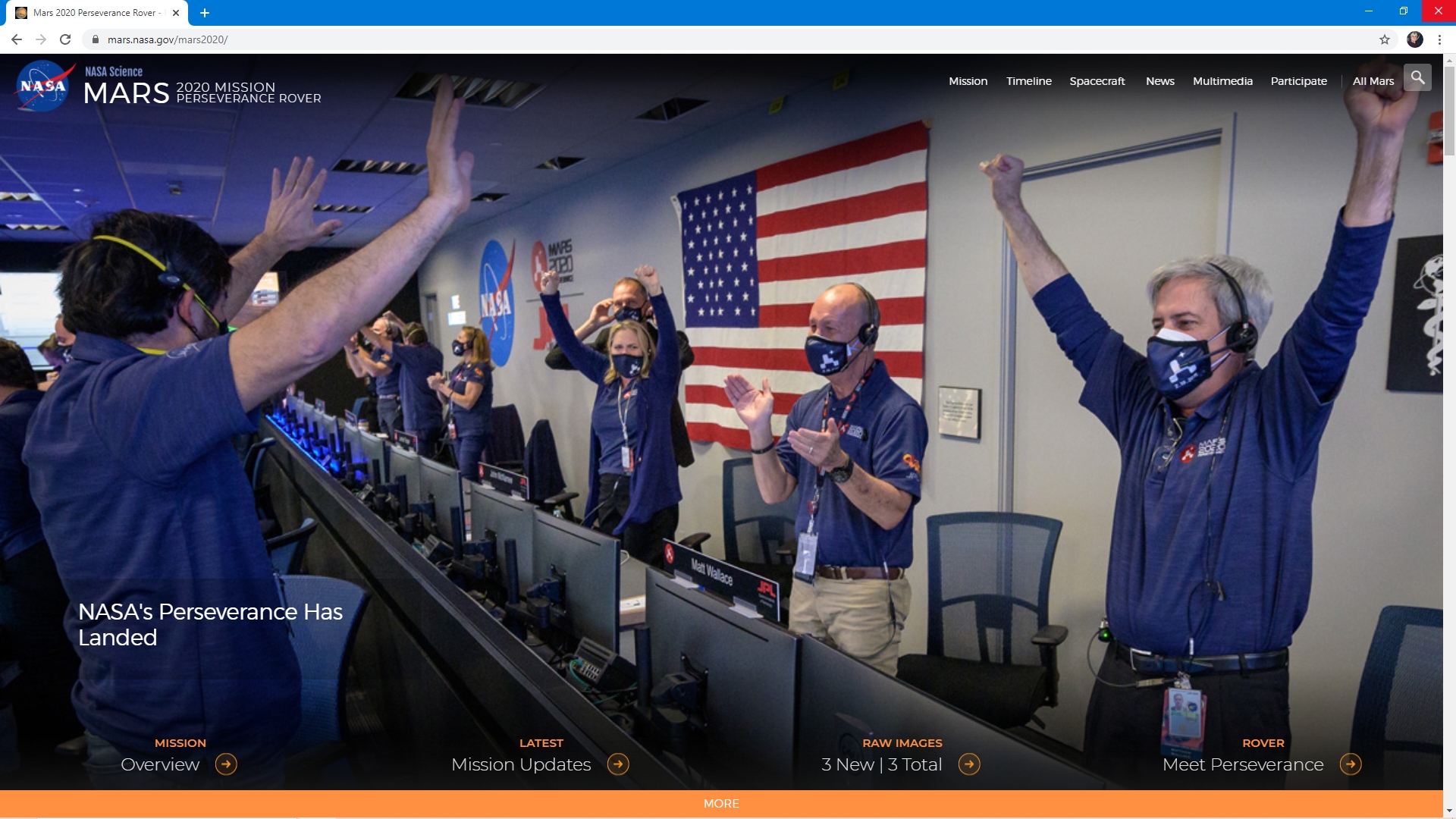
Perseverance Rover lands on Mars:
Jezero anomalies:

ESP_037818_1990:
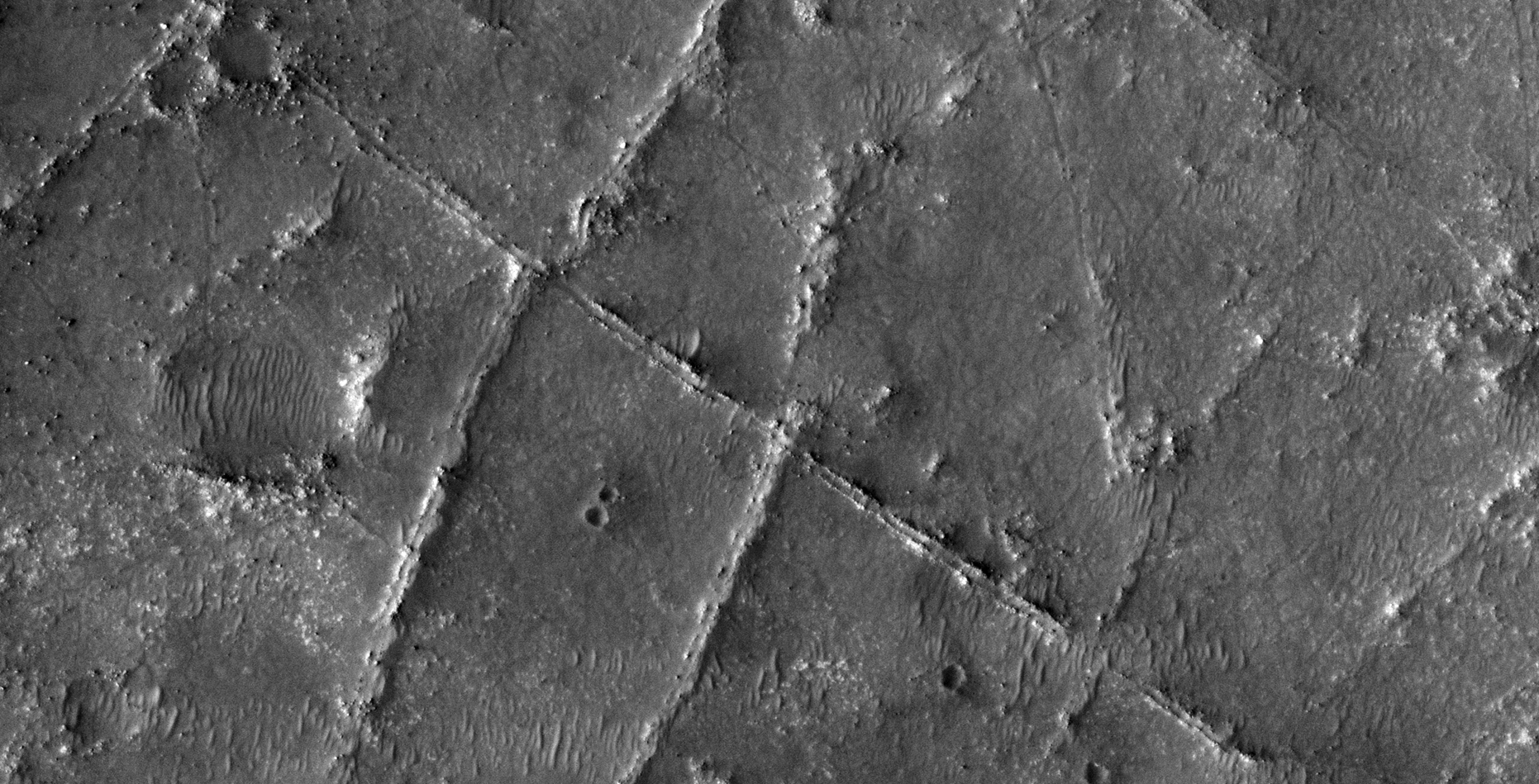
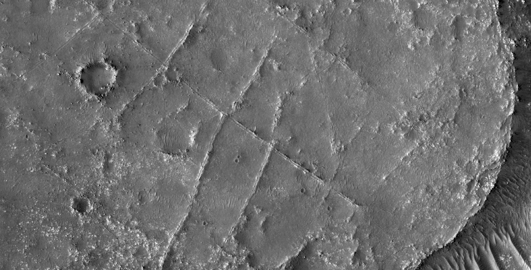
PSP_002743_1985:
Original NASA sources:
https://www.uahirise.org/PSP_002743_1985
https://www.uahirise.org/ESP_037818_1990
https://mars.nasa.gov/mars2020/
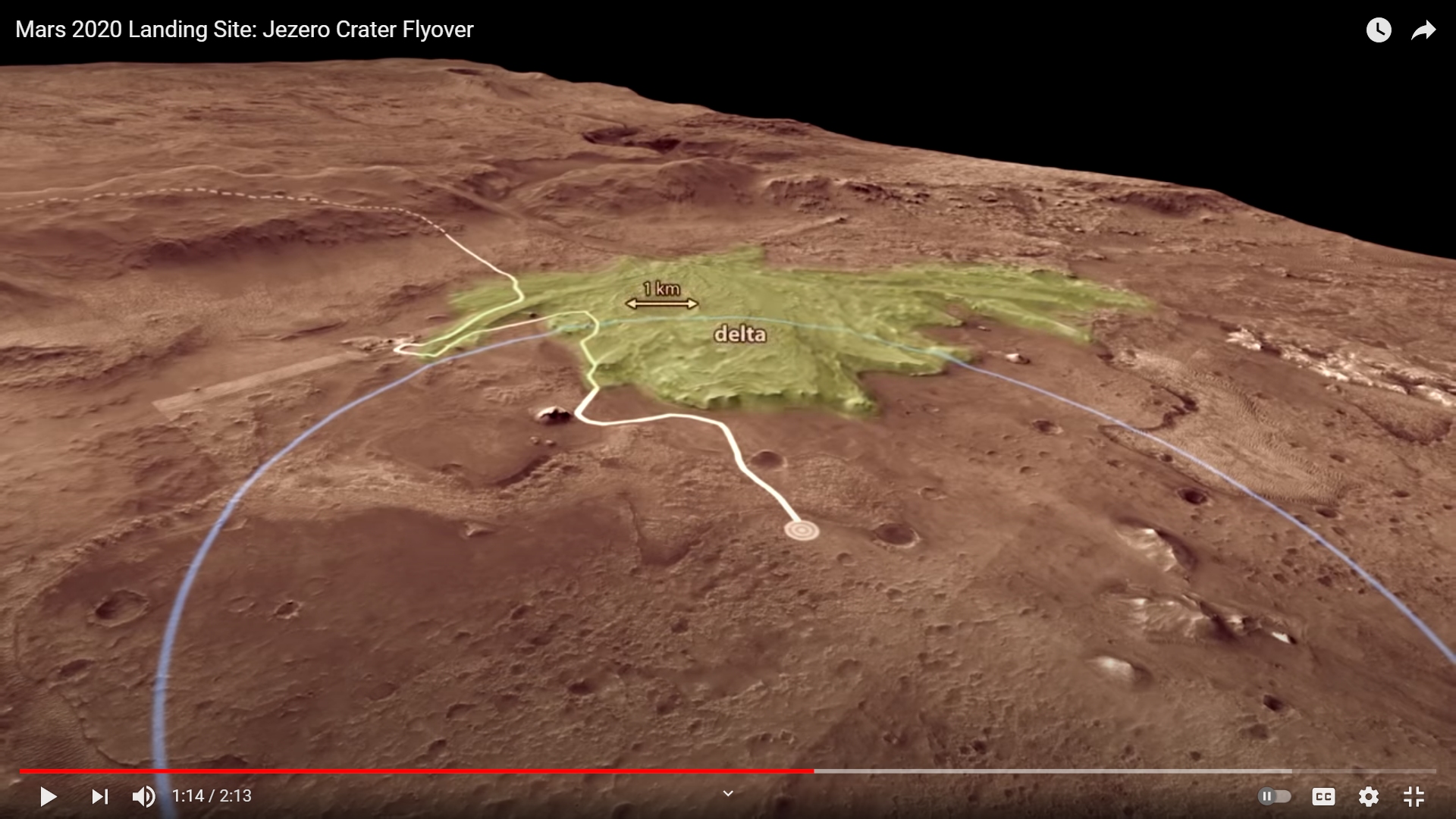
https://mars.nasa.gov/mars2020/mission/science/landing-site
My YouTube video featuring ‘Perseverance Rover Lands on Mars (A Closer Look at Anomalies Nearby):’
Subscribe to my YouTube channel and turn on Notifications to receive updates when I upload new video’s.
Links to all my other sites:
https://www.youtube.com/JeanWard (Mars anomalies)
https://mars.raptorzone.co.za (Mars anomalies)
http://www.raptorzone.co.za (my website)
http://wxsat.raptorzone.co.za (weather satellites)
https://twitter.com/raptorzn_ (@RaptorZN_)
https://www.facebook.com/JeanWardMarsAnomalies (Facebook)
http://blog.raptorzone.co.za (social and political issues)
Disclaimer:
Images saved from within HiView or CTX viewer do not include image scale indicators. The image scale indicators I include in images are based on the official resolutions provided by NASA and although I strive to be as accurate as possible there may be slight deviations from the actual scale. Image scale indicators are included as a size approximation tool only.
Geometry lines are mapped as accurately as possible using the limited information, data and mapping tools available at the time, therefore the lines may deviate from target sites by a few kilometres. Revisions may be made in the future as new, more precise information, data and mapping tools become available.
Many or all of the anomalies/artefacts covered in this presentation may be naturally occurring geological features caused by some type of geological processes, however due to the lack of specific information from the source we can only speculate whether these are all natural or some artificial in nature.
In cases where I say an anomaly looks like something I’m attempting to clarify what I see and not specifically that the anomaly is what I say it looks like.
My intention is only to share anomalies I’ve discovered on Mars and not to convince anyone that there is or was a civilization on Mars.
As Will Farrar from WhatsUpInTheSky says: “I see what I see, you see what you see.”