A recorded livestream hangout in which Chris and I covered a variety of topics which include: Mars anomalies, Secret Space Program (SSP), living on Mars/technology and much more.
Your contribution, no matter how small, will help me to cover my Internet fees which include broadband access and hosting of my Blog. The NASA photographs I download for my research are huge thus the need for broadband, high data access.
DISCLAIMER: Many or all of the anomalies/artefacts covered in this presentation may be naturally occurring geological features caused by some type of geological processes, however due to the lack of specific information from the source we can only speculate whether these are all natural or some artificial in nature.
In cases where I say an anomaly looks like something I’m attempting to clarify what I see and not specifically that the anomaly is what I say it looks like.
My intention is only to share anomalies I’ve discovered on Mars and not to convince anyone that there is or was a civilization on Mars.
As Will Farrar from WhatsUpInTheSky says: “I see what I see, you see what you see.”
FAIR USE NOTICE: This presentation might contain copyrighted material, the use of which has not specifically been authorized by the copyright owner/s. RaptorZone Mars Anomalies distributes this material for the purpose of news reporting, educational research, comment and criticism, constituting Fair Use under 17 U.S.C § 107. Please contact RaptorZone Mars Anomalies with any copyright issue/s.
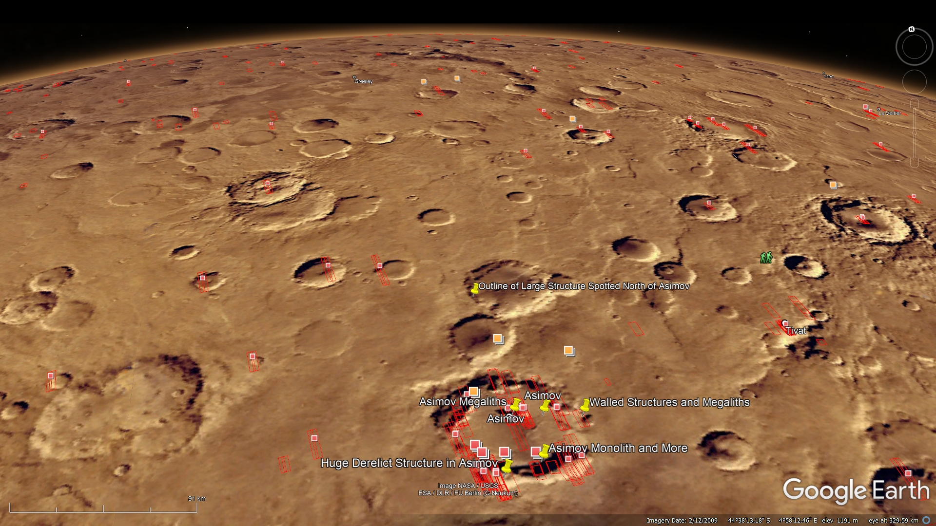
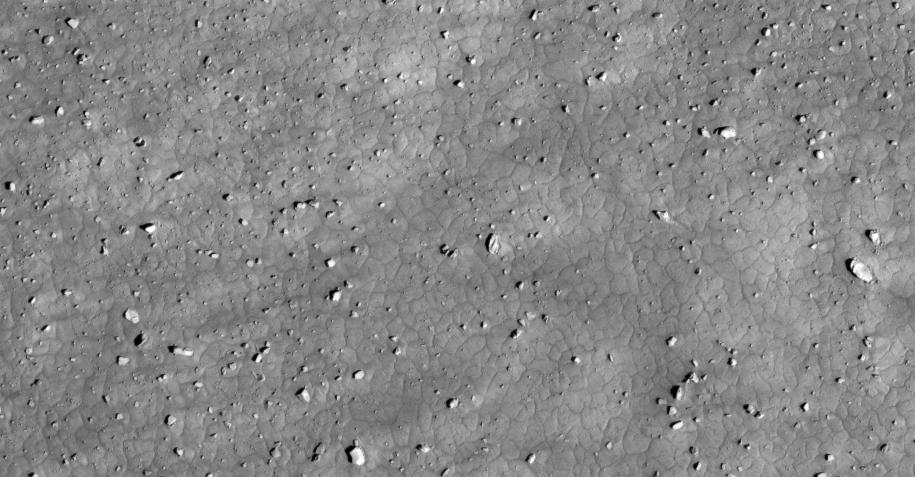
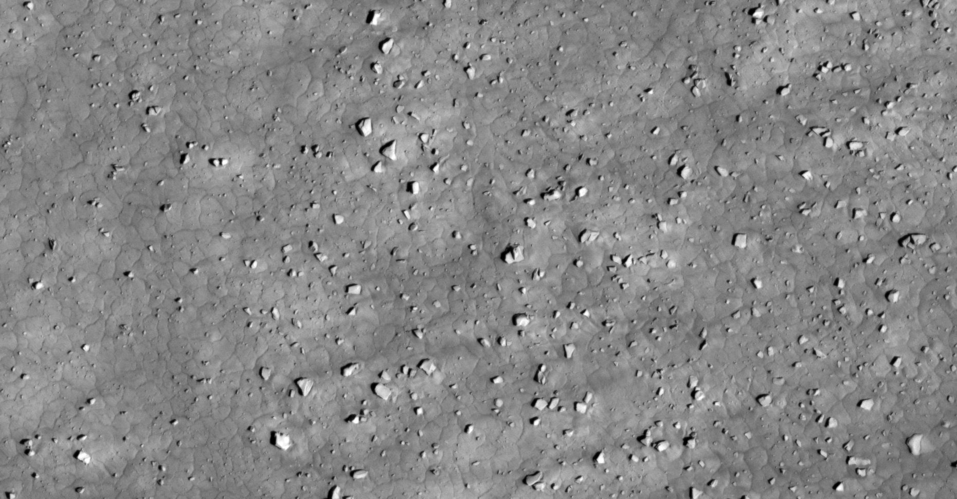
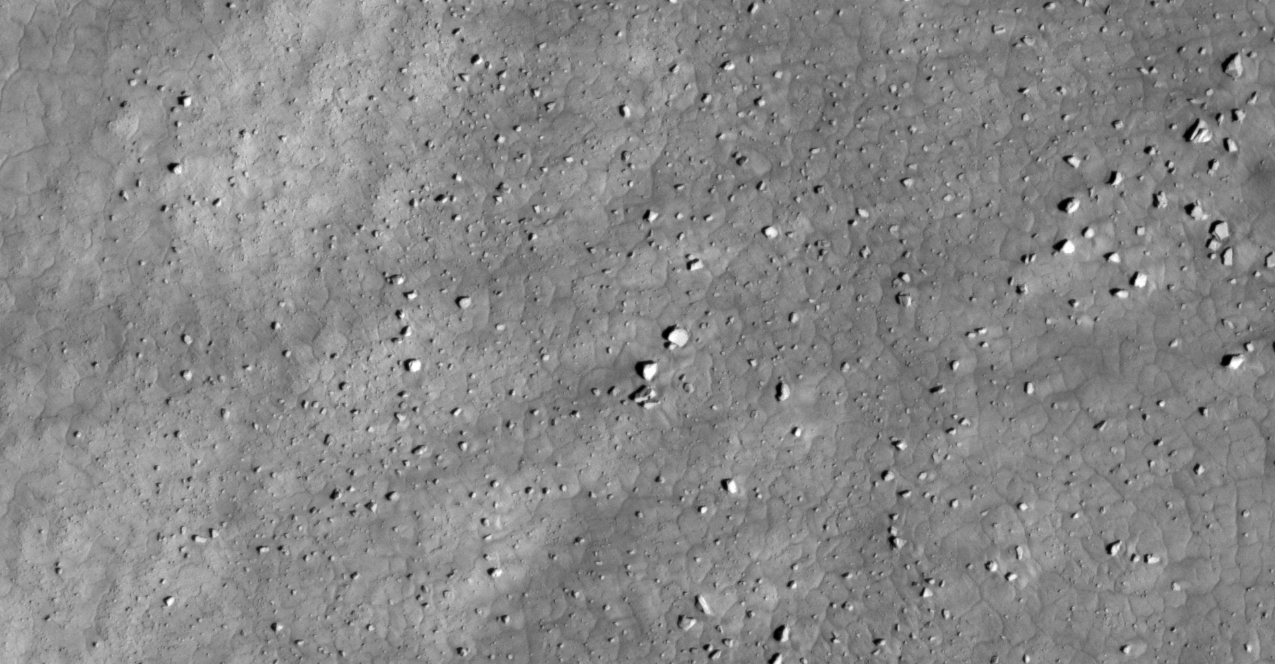
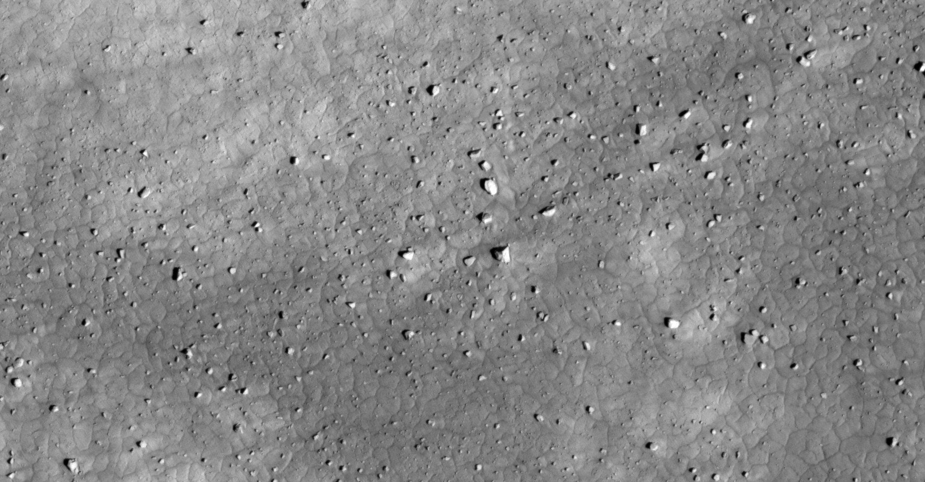
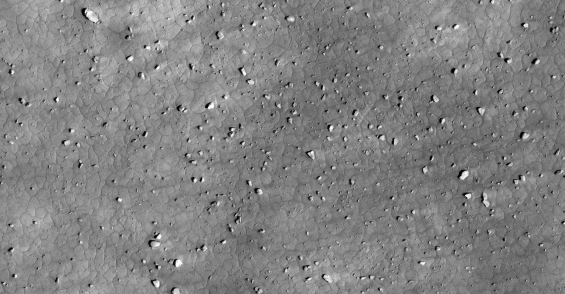
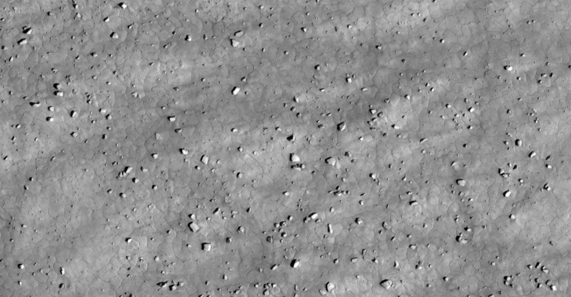
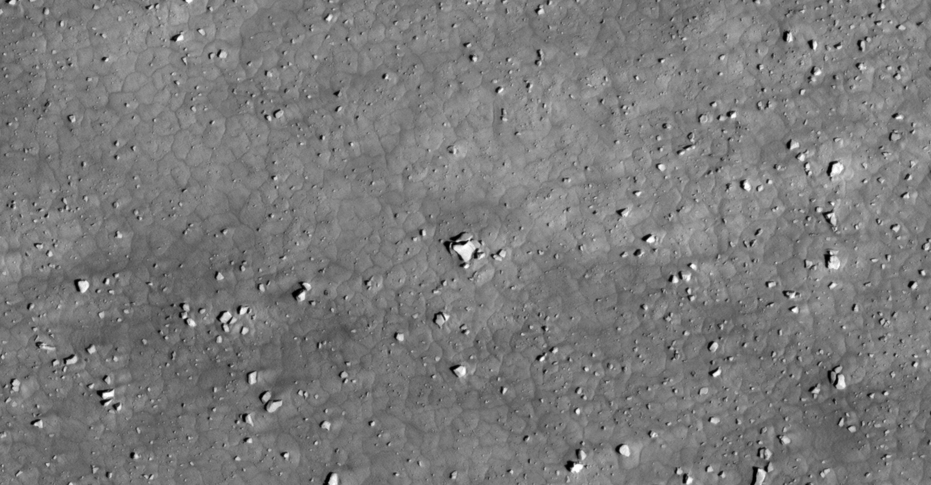
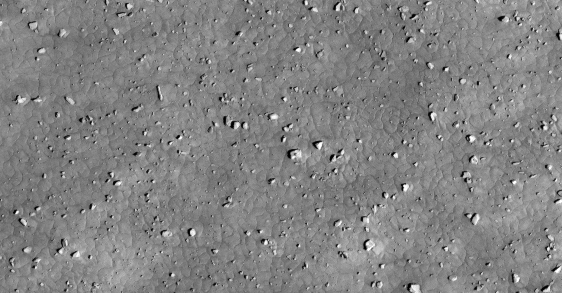
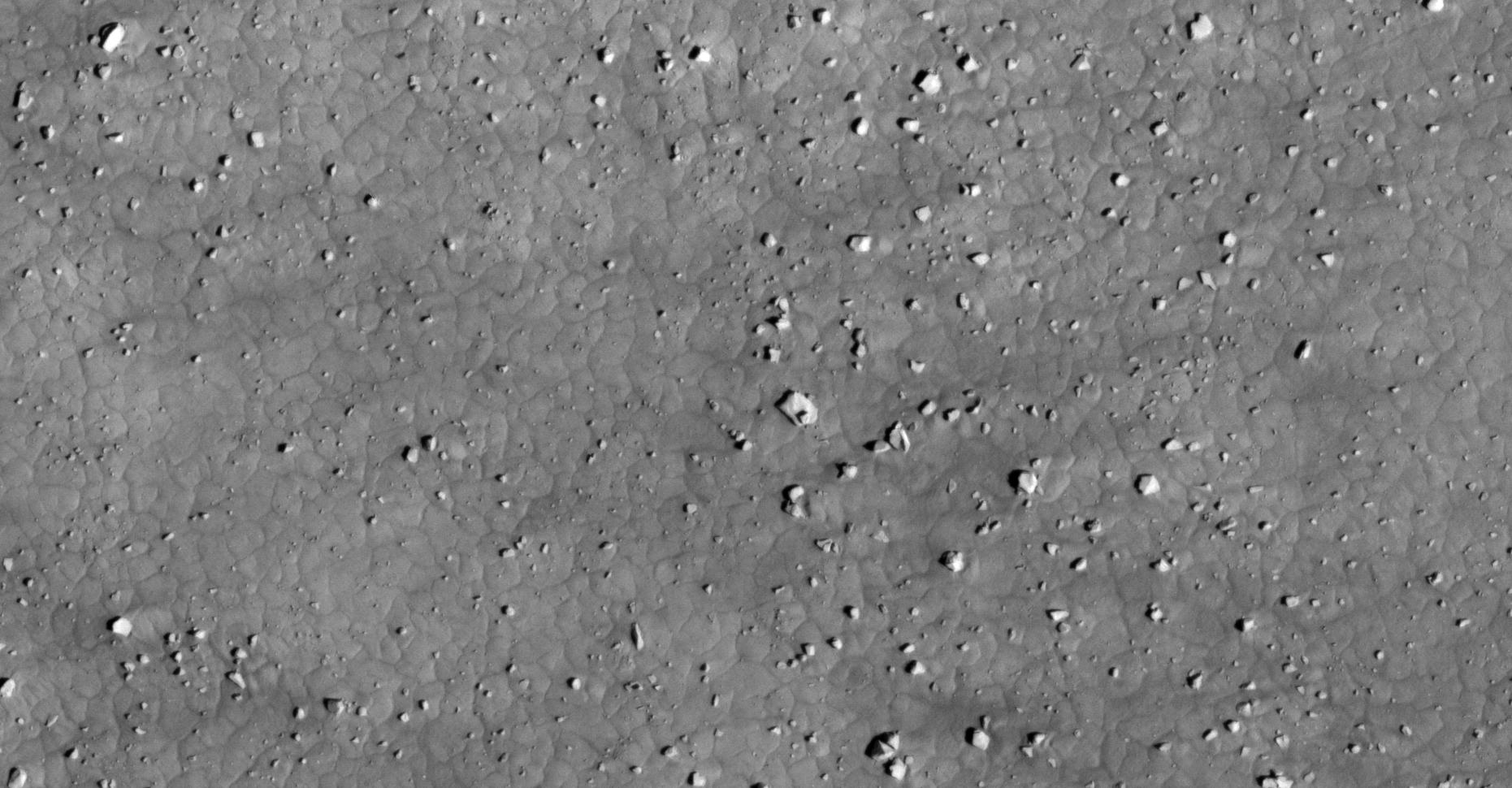
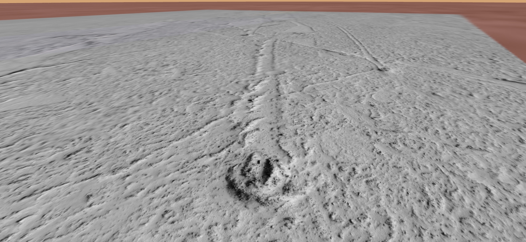
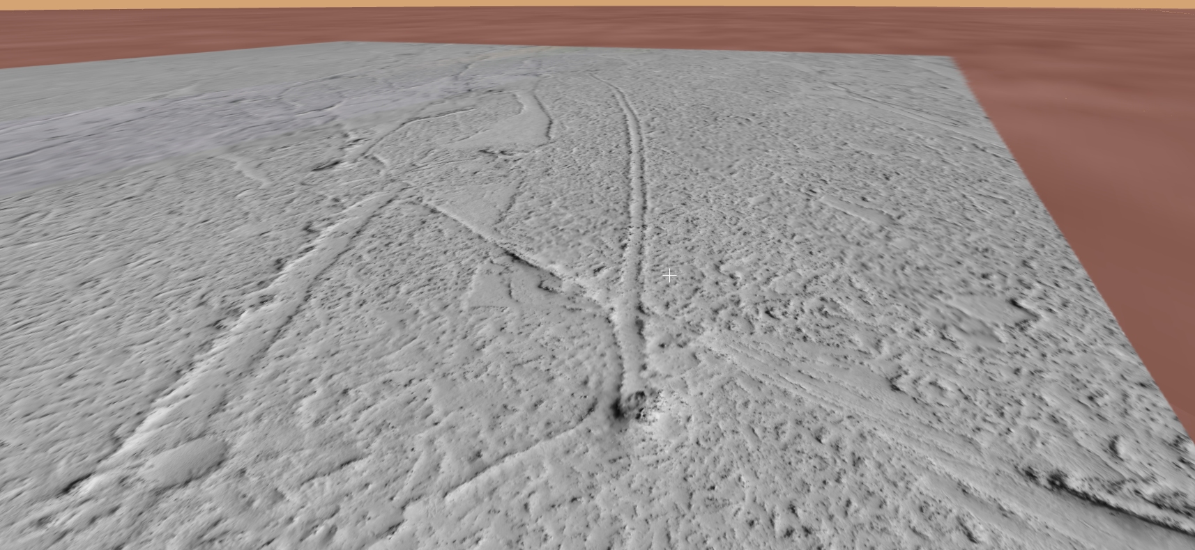
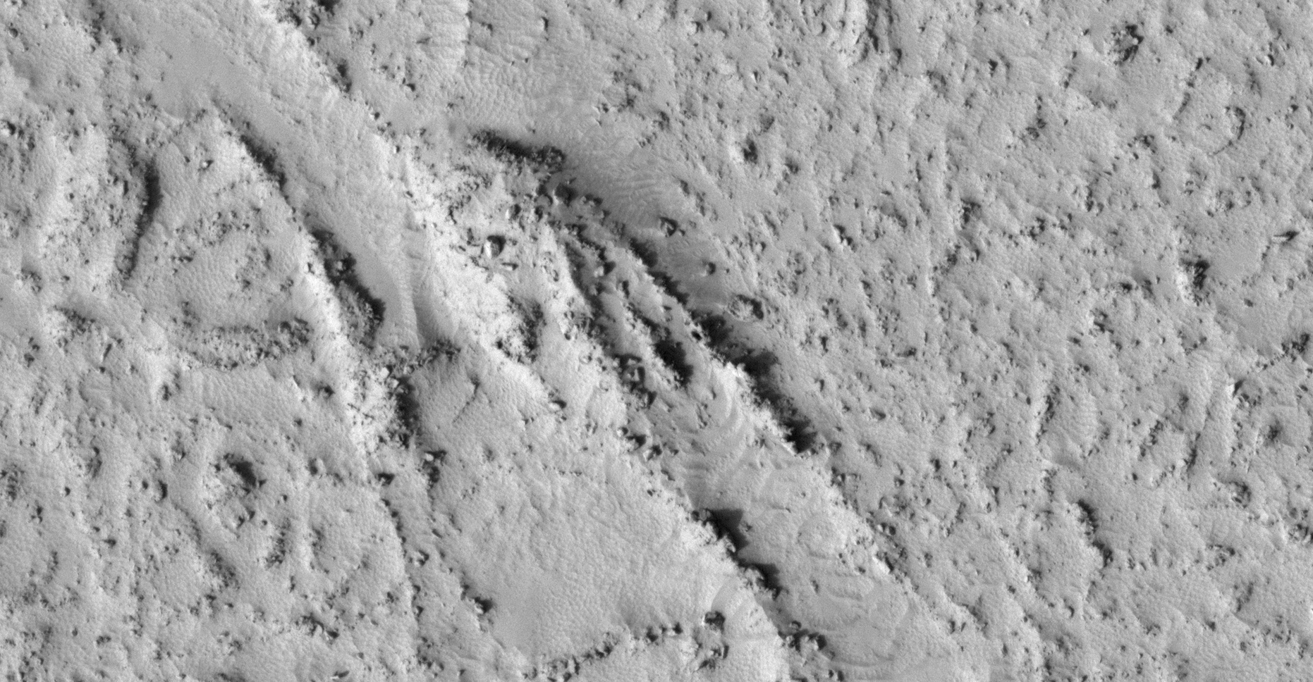
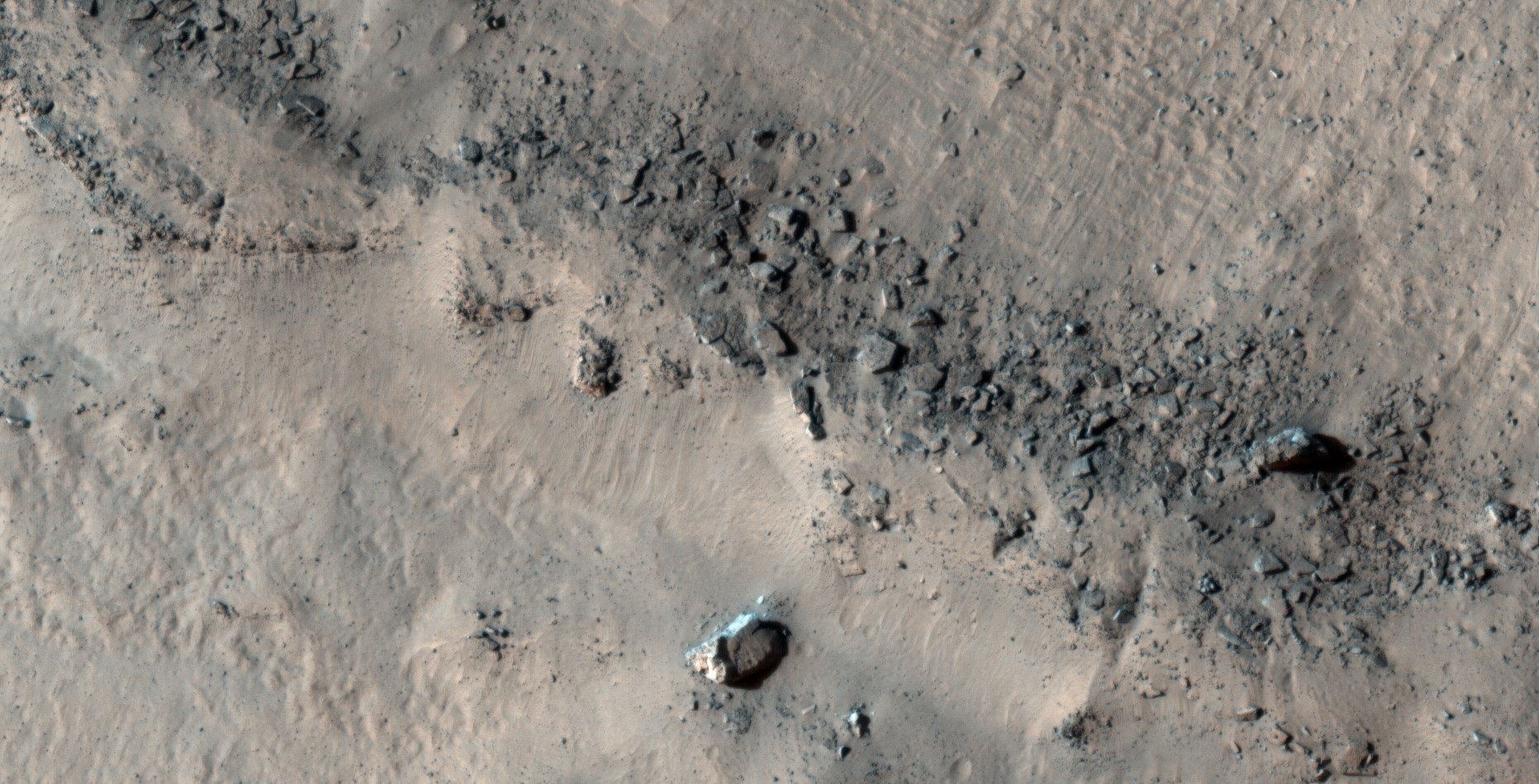
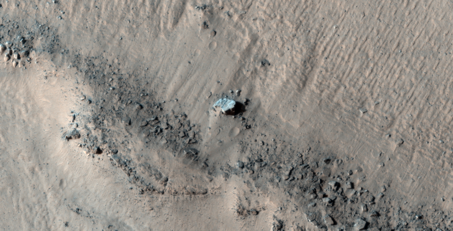
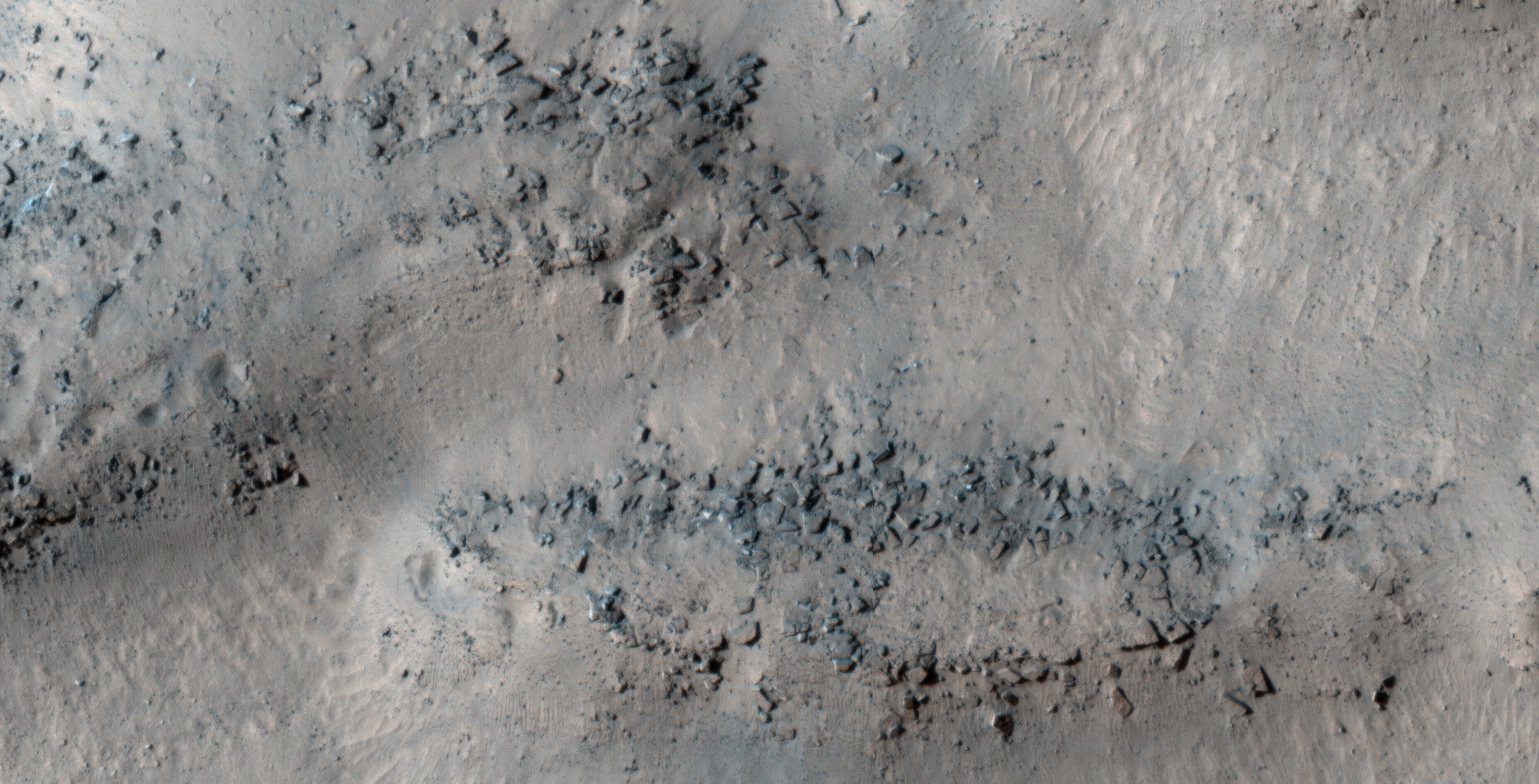
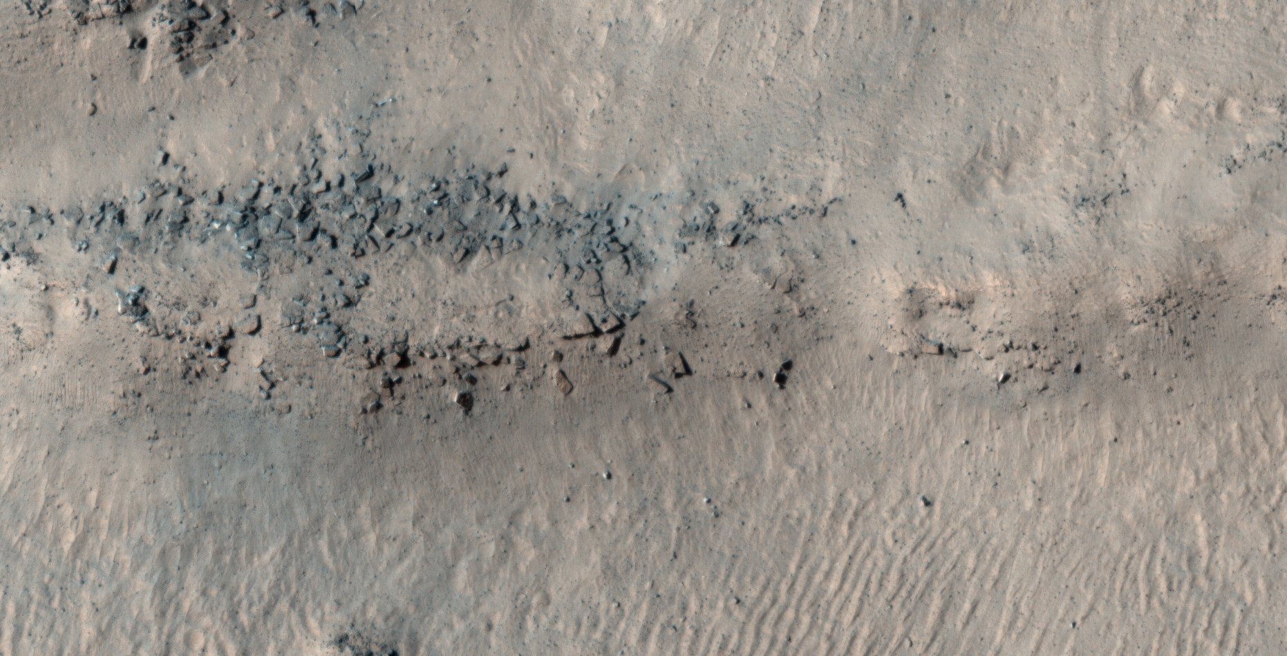
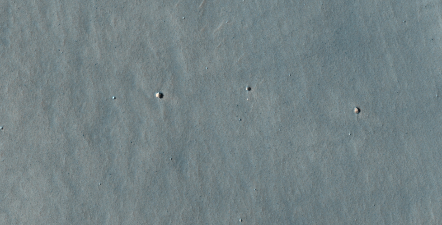
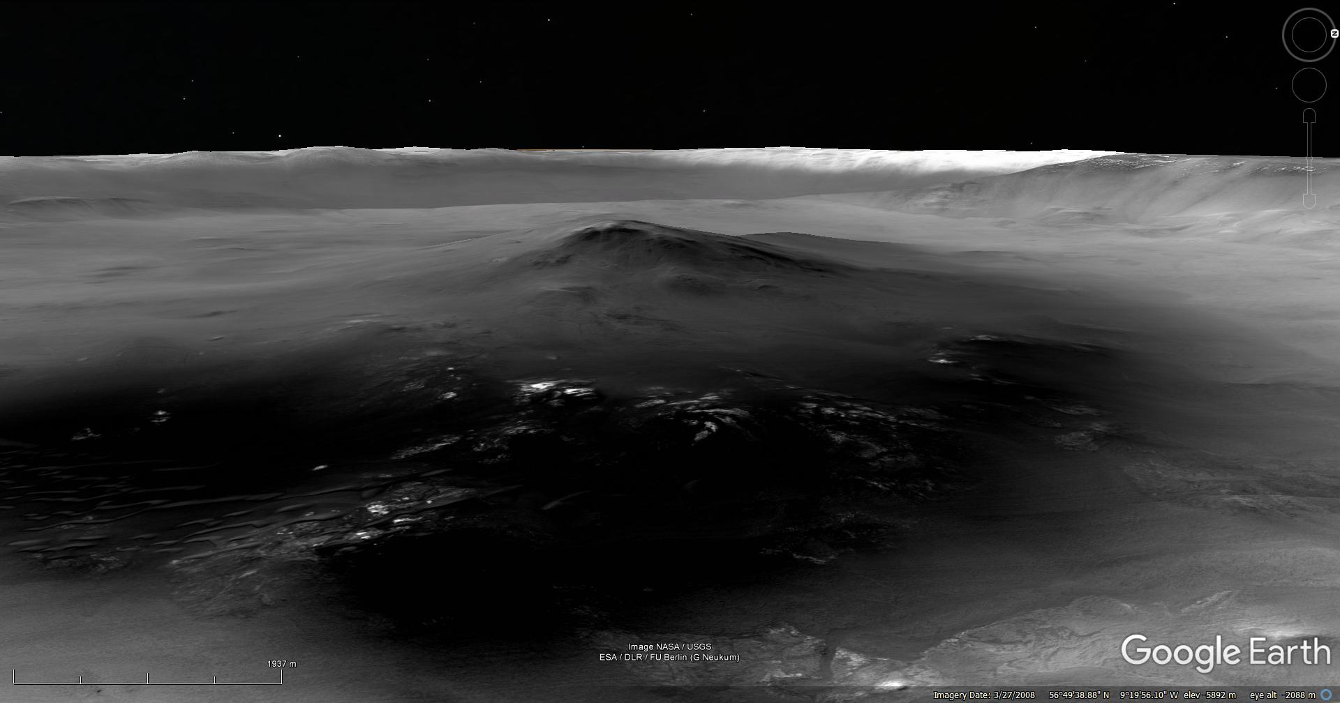
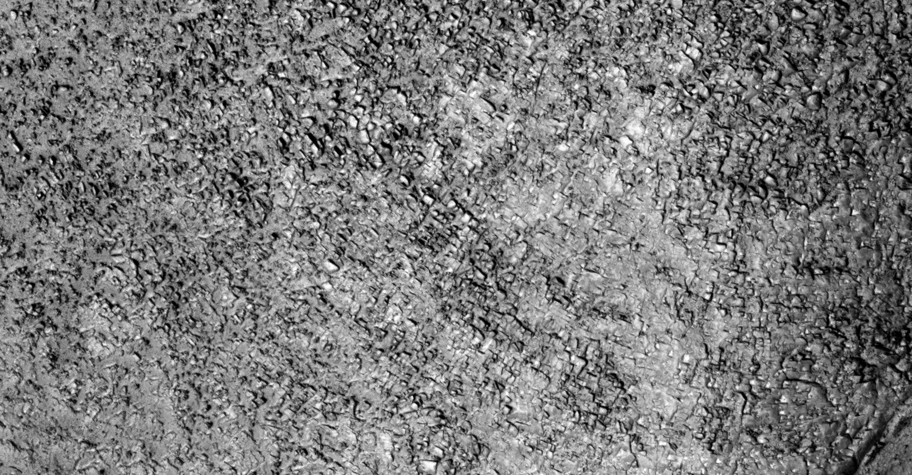
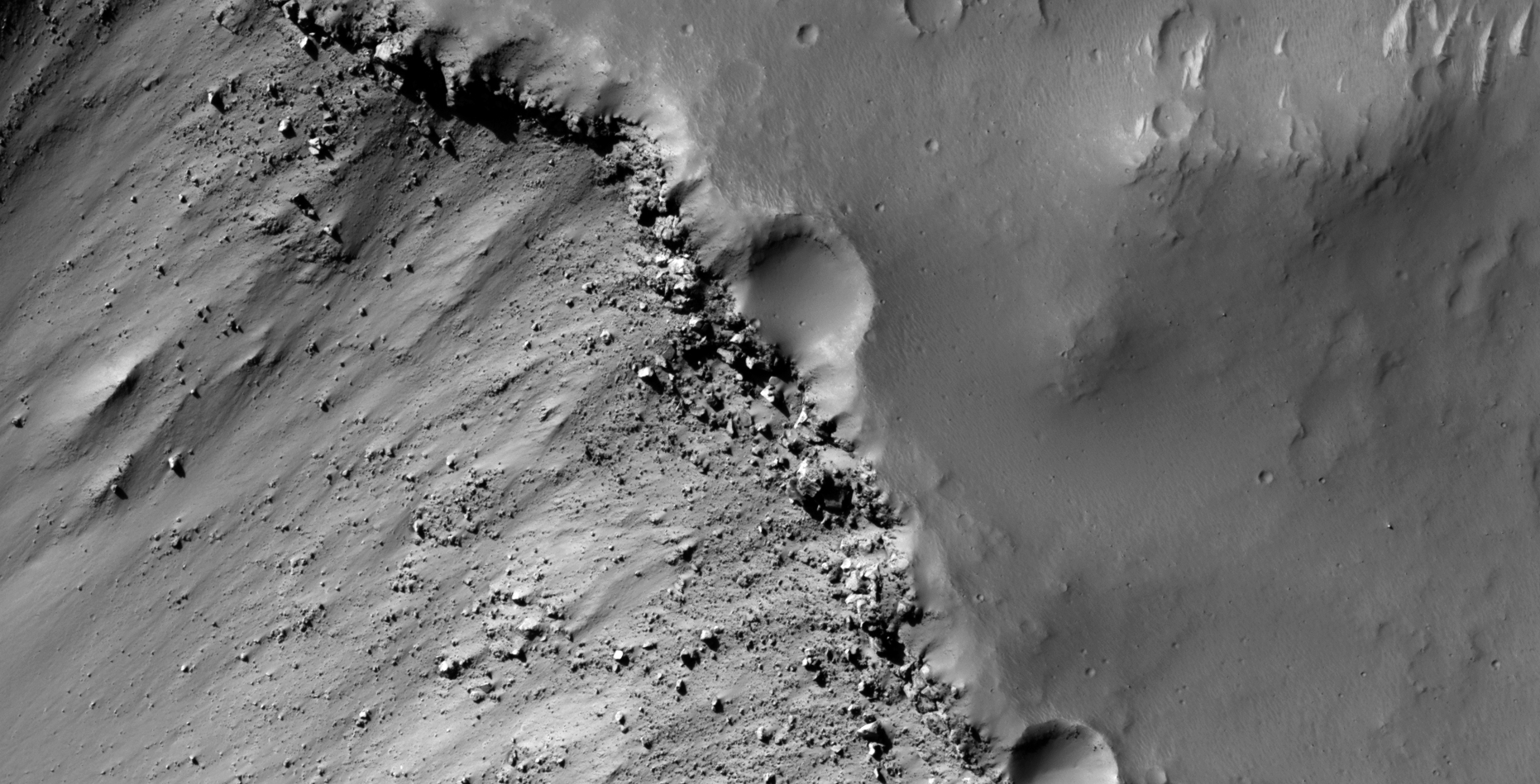
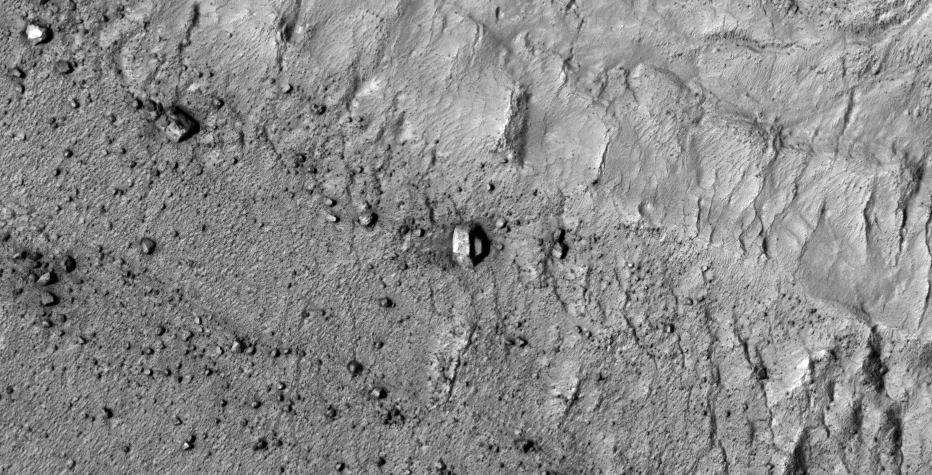
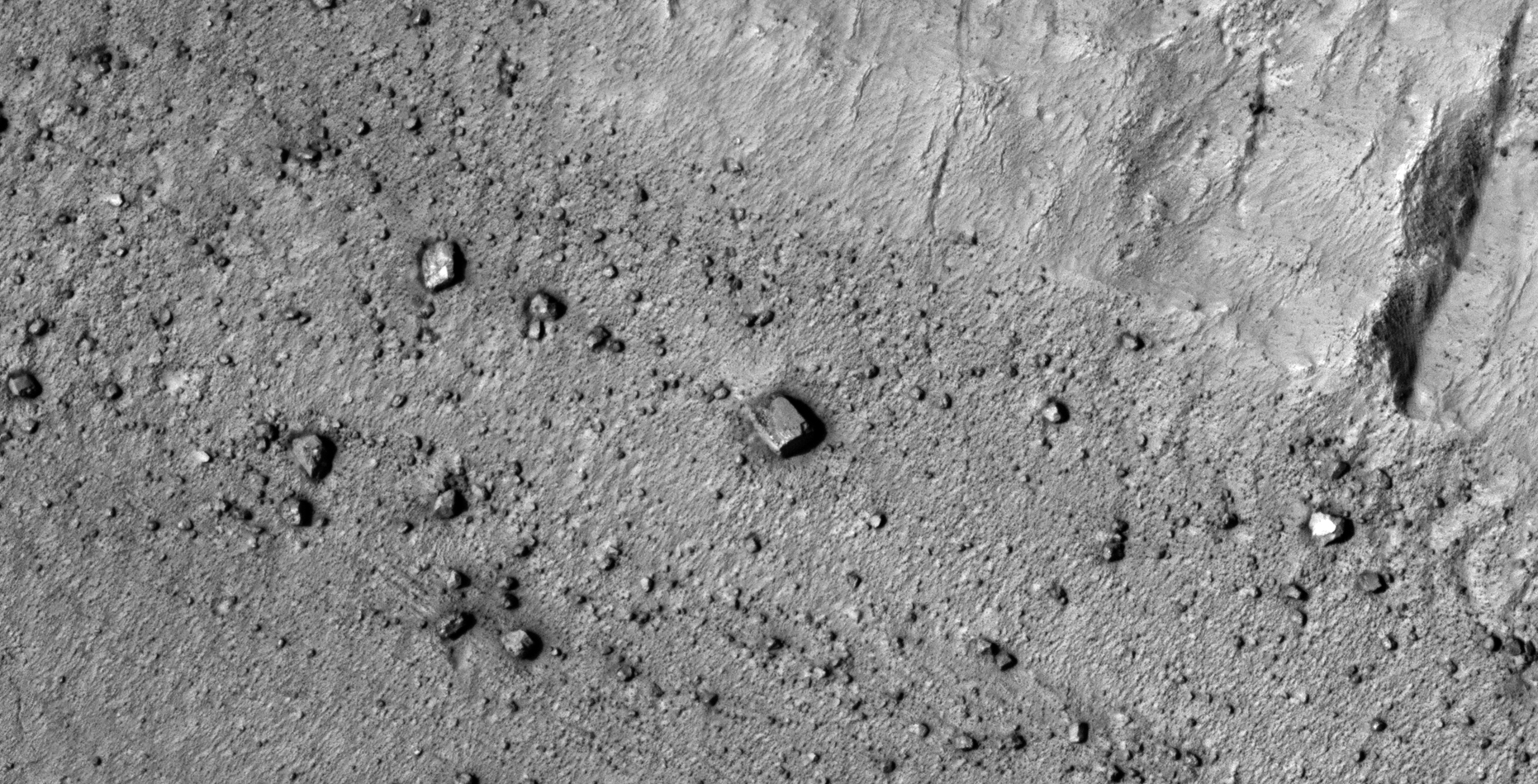
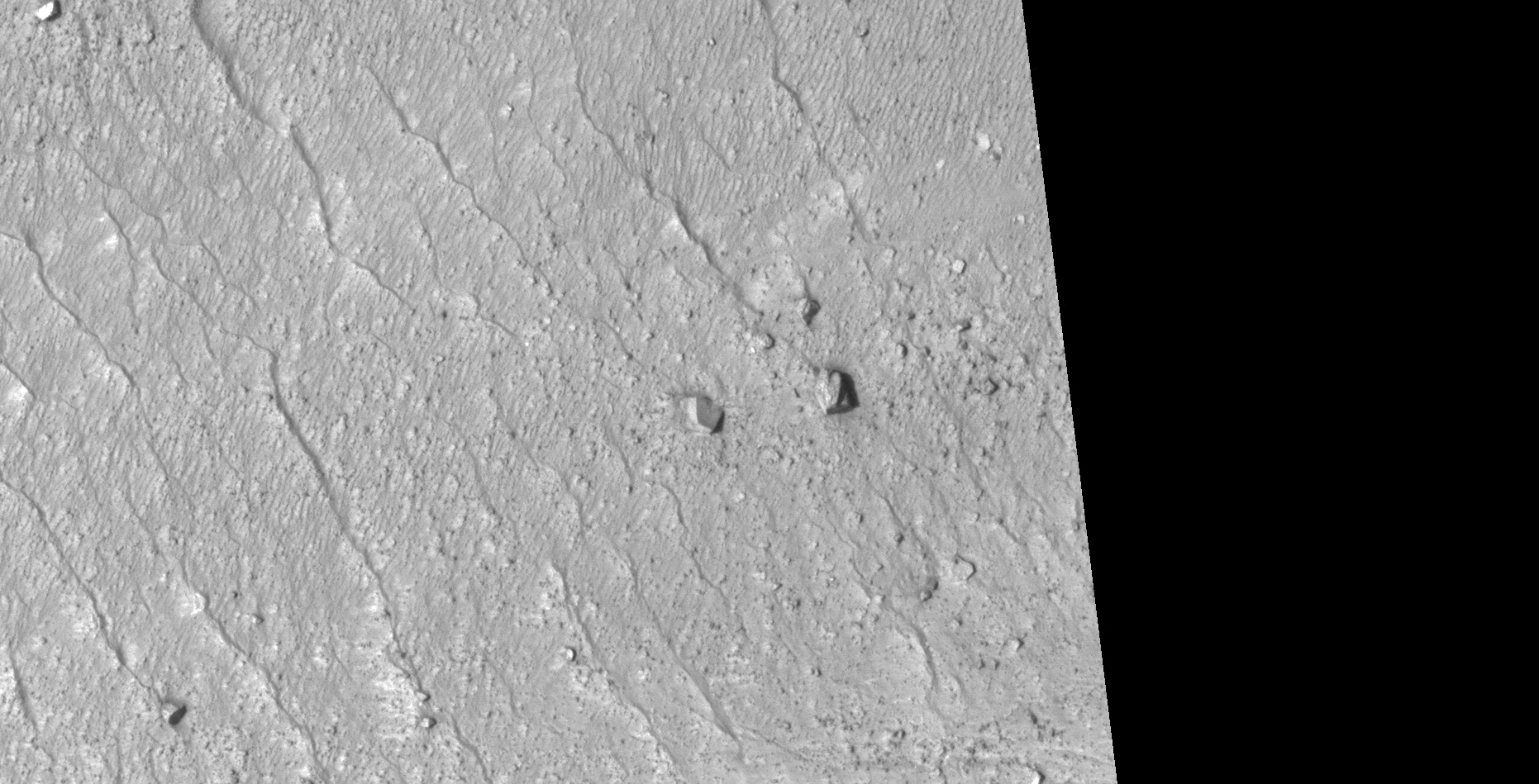
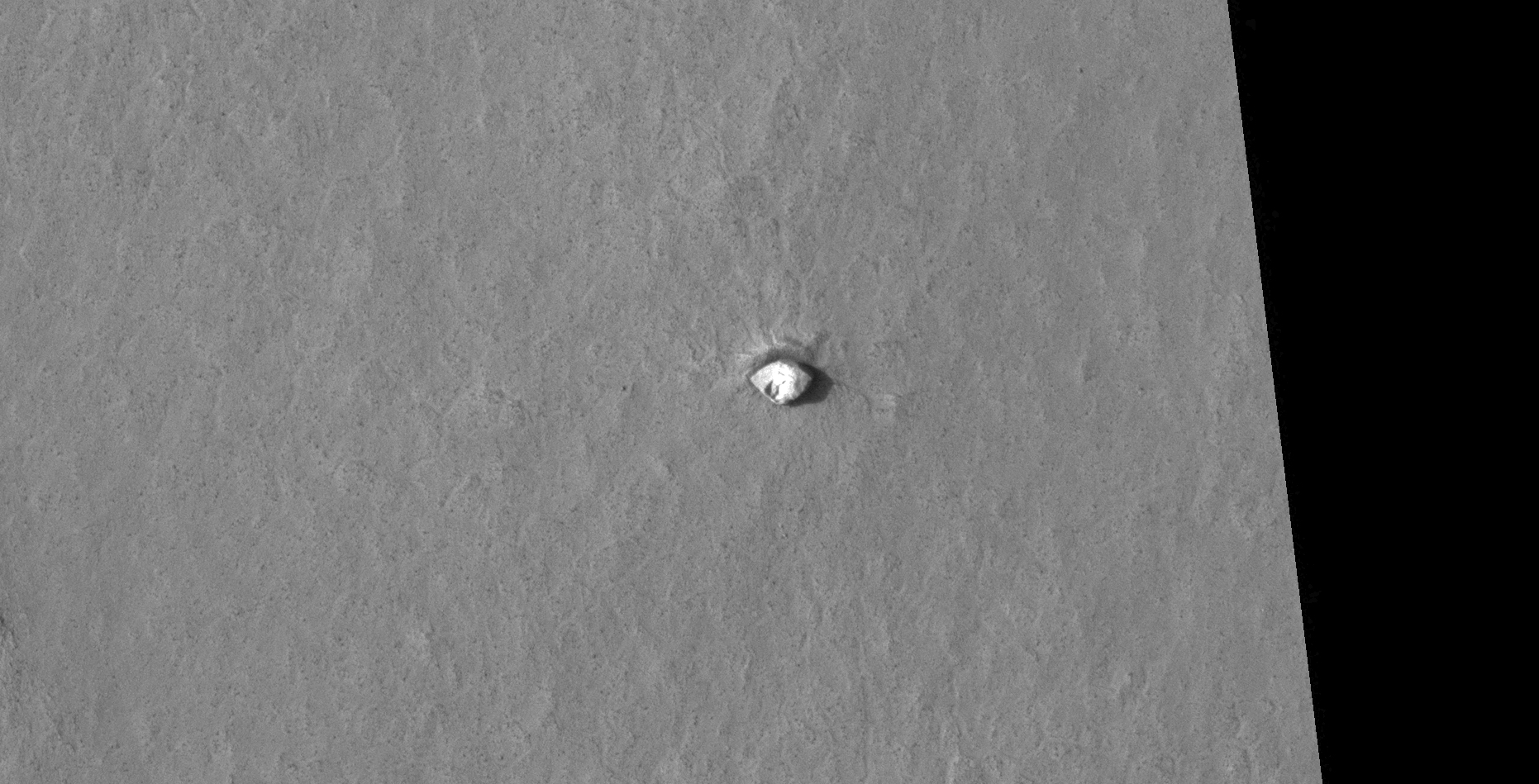
The photograph analyzed here (B19_016868_1344_XN_45S355W) was acquired by NASA’s Mars Reconnaissance Orbiter on 02 March 2010 and is described as ‘Terrain north of Asimov Crater.’
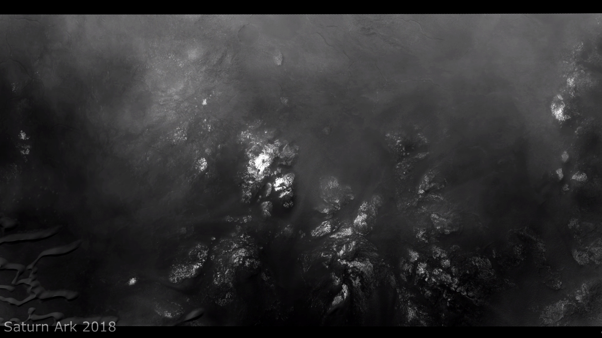
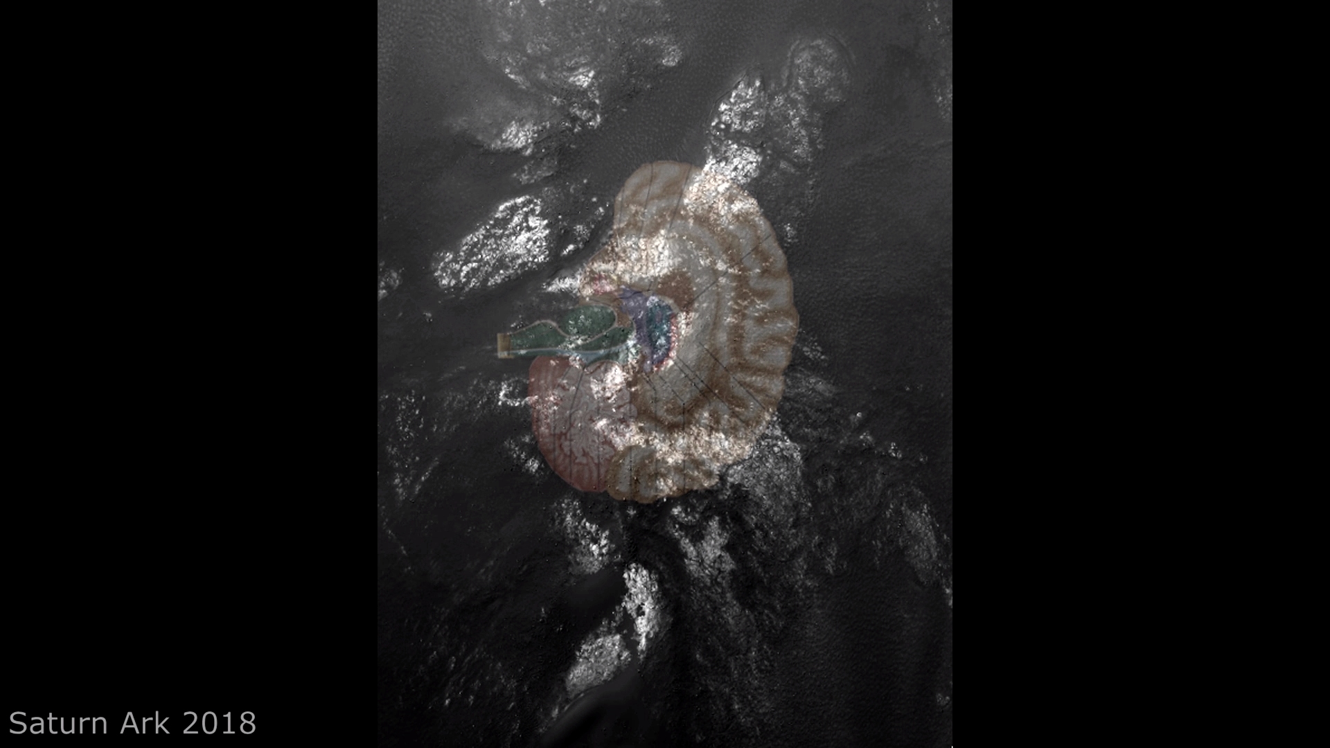
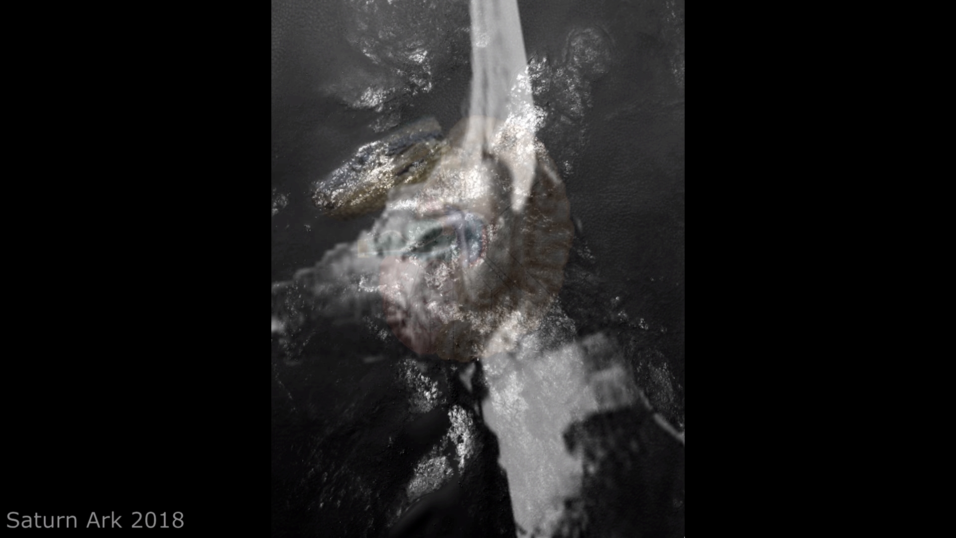
Here I feature an anomaly/artifact discovered by my friend Saturn Ark at a new site in a Region of Mars just North of Asimov.
Seen here is what appears to be a symmetrical outline of a potential structure; the shape also compares to that of an oil tanker. Might we be looking at an structure or a derelict vessel of some kind?
An elevated view of this site being analyzed (click for larger image)Click for larger image at 1:1 scaleAn outline of the anomalyCrude oil tanker – Source: oilnewskenya.com
My YouTube video featuring ‘Outline of Large Structure Spotted North of Asimov on Mars:’
Subscribe to my YouTube channel and turn on Notifications to receive updates when I upload new video’s.
Your contribution, no matter how small, will help me to cover my Internet fees which include broadband access and hosting of my Blog. The NASA photographs I download for my research are huge thus the need for broadband, high data access.
DISCLAIMER: Many or all of the anomalies/artefacts covered in this presentation may be naturally occurring geological features caused by some type of geological processes, however due to the lack of specific information from the source we can only speculate whether these are all natural or some artificial in nature.
In cases where I say an anomaly looks like something I’m attempting to clarify what I see and not specifically that the anomaly is what I say it looks like.
My intention is only to share anomalies I’ve discovered on Mars and not to convince anyone that there is or was a civilization on Mars.
As Will Farrar from WhatsUpInTheSky says: “I see what I see, you see what you see.”
FAIR USE NOTICE: This presentation might contain copyrighted material, the use of which has not specifically been authorized by the copyright owner/s. RaptorZone Mars Anomalies distributes this material for the purpose of news reporting, educational research, comment and criticism, constituting Fair Use under 17 U.S.C § 107. Please contact RaptorZone Mars Anomalies with any copyright issue/s.
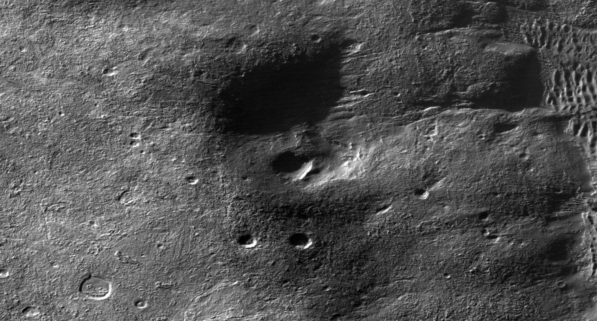
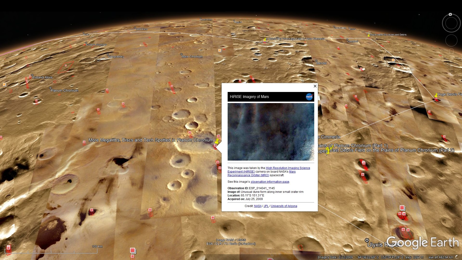
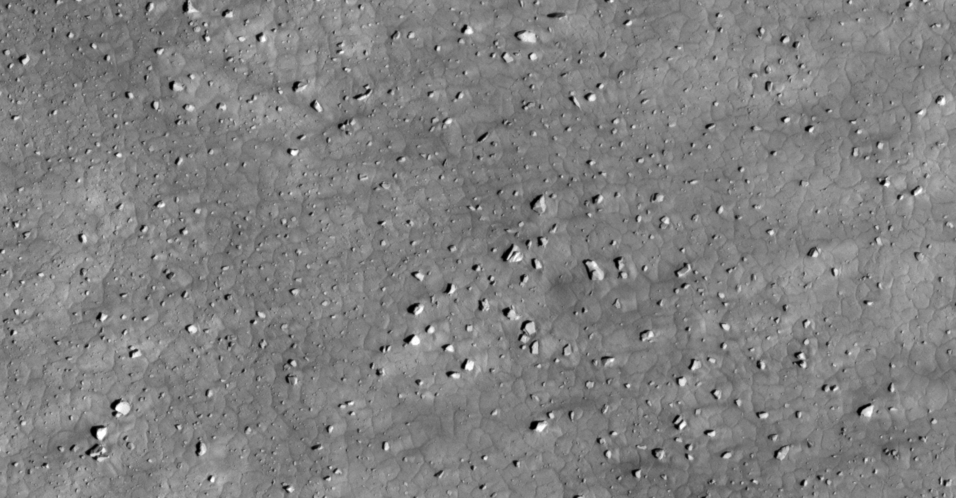
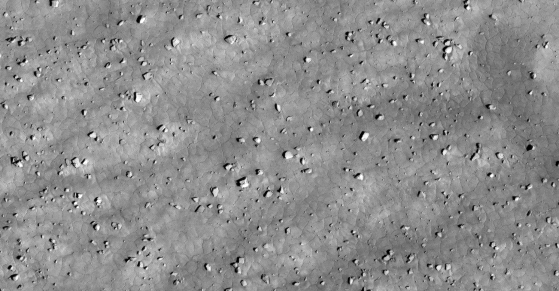
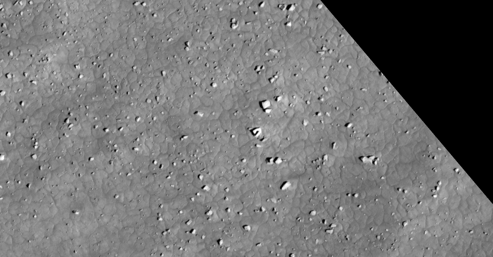
The photograph analyzed here (ESP_014041_1145) was acquired by NASA’s Mars Reconnaissance Orbiter on 25 July 2009 and is described as ‘Unusual Dune Form along Inner Small Crater Rim.’
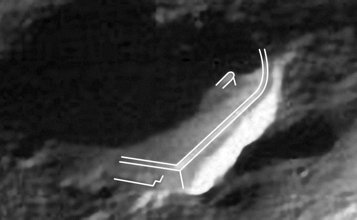
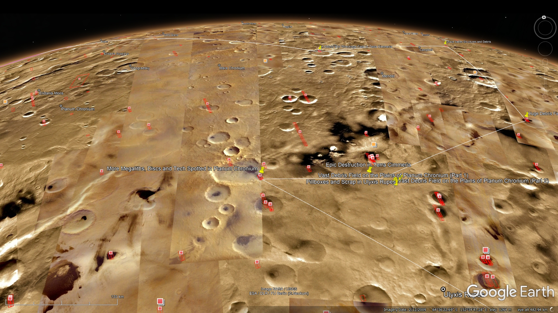
We return to another site in Planum Chronium where I discovered more, very diverse, artifacts ranging from what look like discs, megaliths, wreckage/tech and structures/ruins.
There are two artifacts that really stand out: a very long, narrow piece measuring approximately 2 m x 18 m that looks like a toppled obelisk and one the the largest blocks I’ve come across measuring approximately 12 m x 18 m.
An elevated view of this site being analyzed (click for larger image)An elevated view of this site being analyzed (click for larger image)Click for larger image at 1:1 scale actual sizeClick for larger image at 1:1 scale actual sizeClick for larger image at 1:1 scale actual sizeClick for larger image at 1:1 scale actual sizeClick for larger image at 1:1 scale actual sizeClick for larger image at 1:1 scale actual sizeClick for larger image at 1:1 scale actual sizeClick for larger image at 1:1 scale actual sizeClick for larger image at 1:1 scale actual sizeClick for larger image at 1:1 scale actual sizeClick for larger image at 1:1 scale actual sizeClick for larger image at 1:1 scale actual sizeClick for larger image at 1:1 scale actual sizeClick for larger image at 1:1 scale actual sizeClick for larger image at 1:1 scale actual sizeClick for larger image at 1:1 scale actual sizeClick for larger image at 1:1 scale actual sizeClick for larger image at 1:1 scale actual sizeClick for larger image at 1:1 scale actual sizeClick for larger image at 1:1 scale actual sizeClick for larger image at 1:1 scale actual sizeClick for larger image at 1:1 scale actual sizeClick for larger image at 1:1 scale actual sizeClick for larger image at 1:1 scale actual sizeClick for larger image at 1:1 scale actual sizeClick for larger image at 1:1 scale actual sizeClick for larger image at 1:1 scale actual sizeClick for larger image at 1:1 scale actual sizeClick for larger image at 1:1 scale actual sizeClick for larger image at 1:1 scale actual sizeClick for larger image at 1:1 scale actual sizeClick for larger image at 1:1 scale actual sizeClick for larger image at 1:1 scale actual sizeClick for larger image at 1:1 scale actual size
My YouTube video featuring ‘More Megaliths, Discs and Tech Spotted in Planum Chronium on Mars:’
Subscribe to my YouTube channel and turn on Notifications to receive updates when I upload new video’s.
Your contribution, no matter how small, will help me to cover my Internet fees which include broadband access and hosting of my Blog. The NASA photographs I download for my research are huge thus the need for broadband, high data access.
DISCLAIMER: Many or all of the anomalies/artefacts covered in this presentation may be naturally occurring geological features caused by some type of geological processes, however due to the lack of specific information from the source we can only speculate whether these are all natural or some artificial in nature.
In cases where I say an anomaly looks like something I’m attempting to clarify what I see and not specifically that the anomaly is what I say it looks like.
My intention is only to share anomalies I’ve discovered on Mars and not to convince anyone that there is or was a civilization on Mars.
As Will Farrar from WhatsUpInTheSky says: “I see what I see, you see what you see.”
FAIR USE NOTICE: This presentation might contain copyrighted material, the use of which has not specifically been authorized by the copyright owner/s. RaptorZone Mars Anomalies distributes this material for the purpose of news reporting, educational research, comment and criticism, constituting Fair Use under 17 U.S.C § 107. Please contact RaptorZone Mars Anomalies with any copyright issue/s.
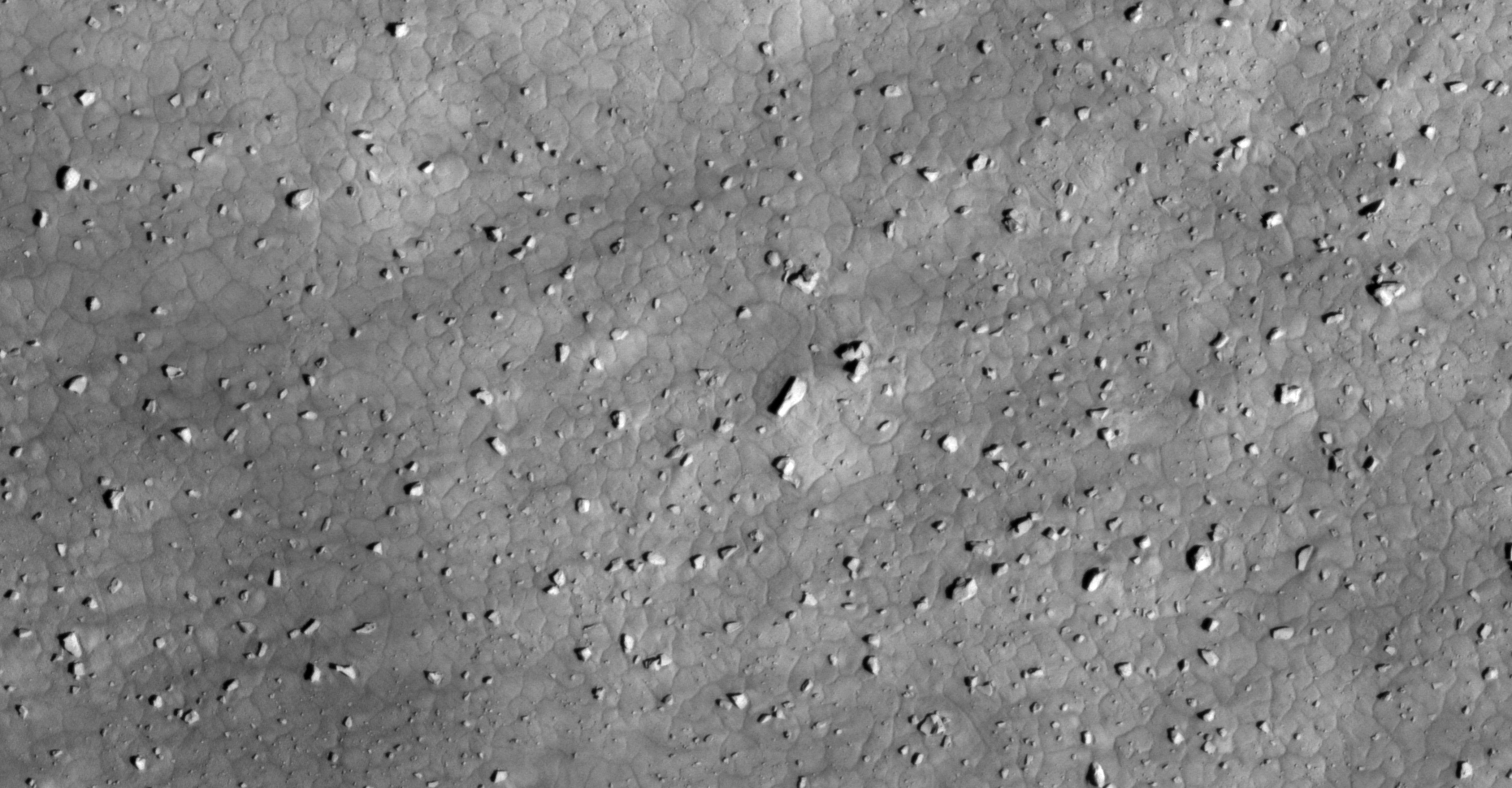
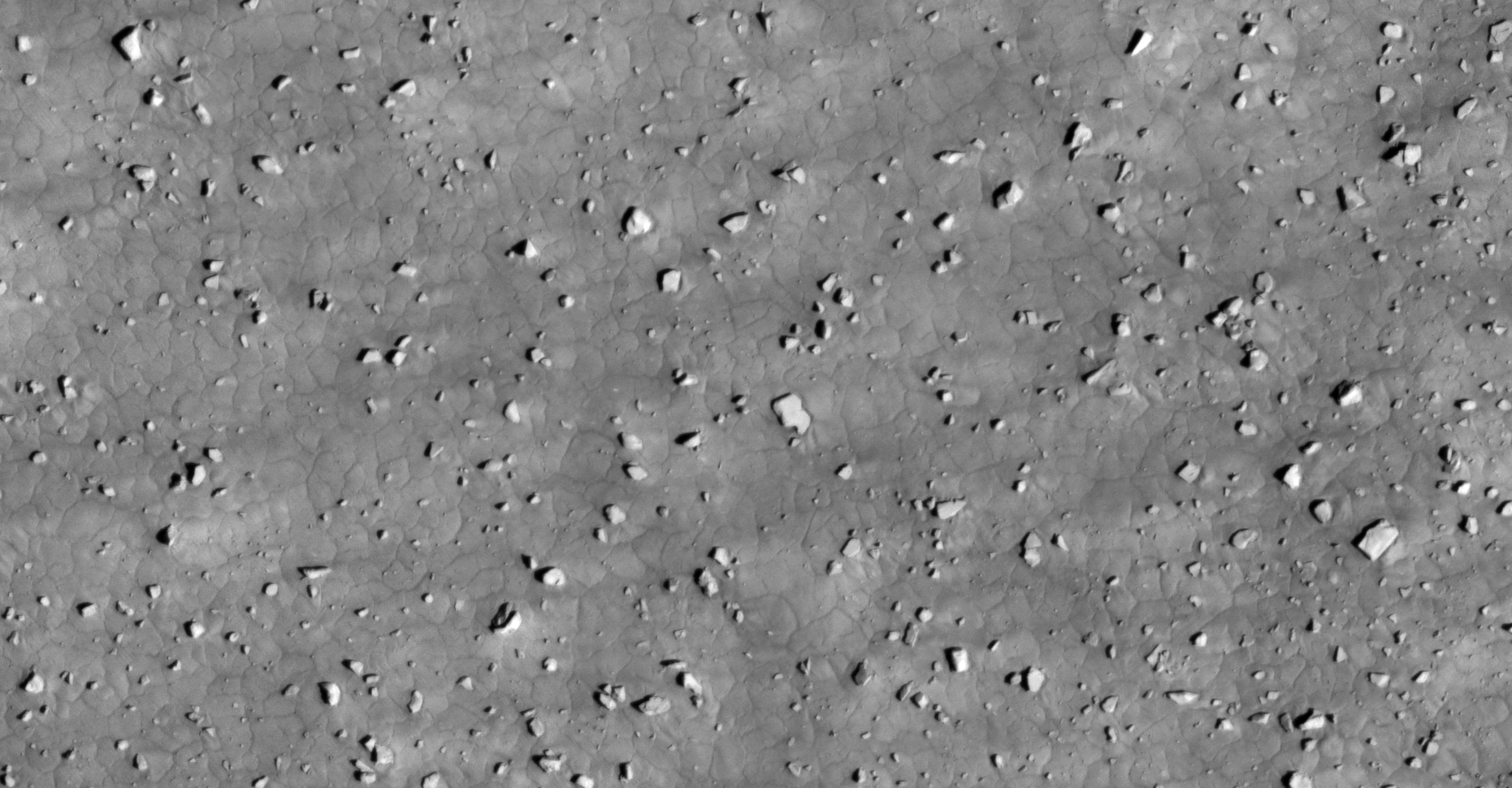
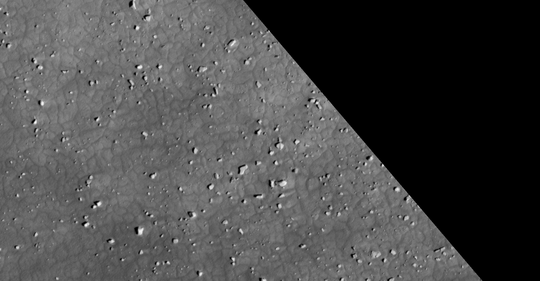
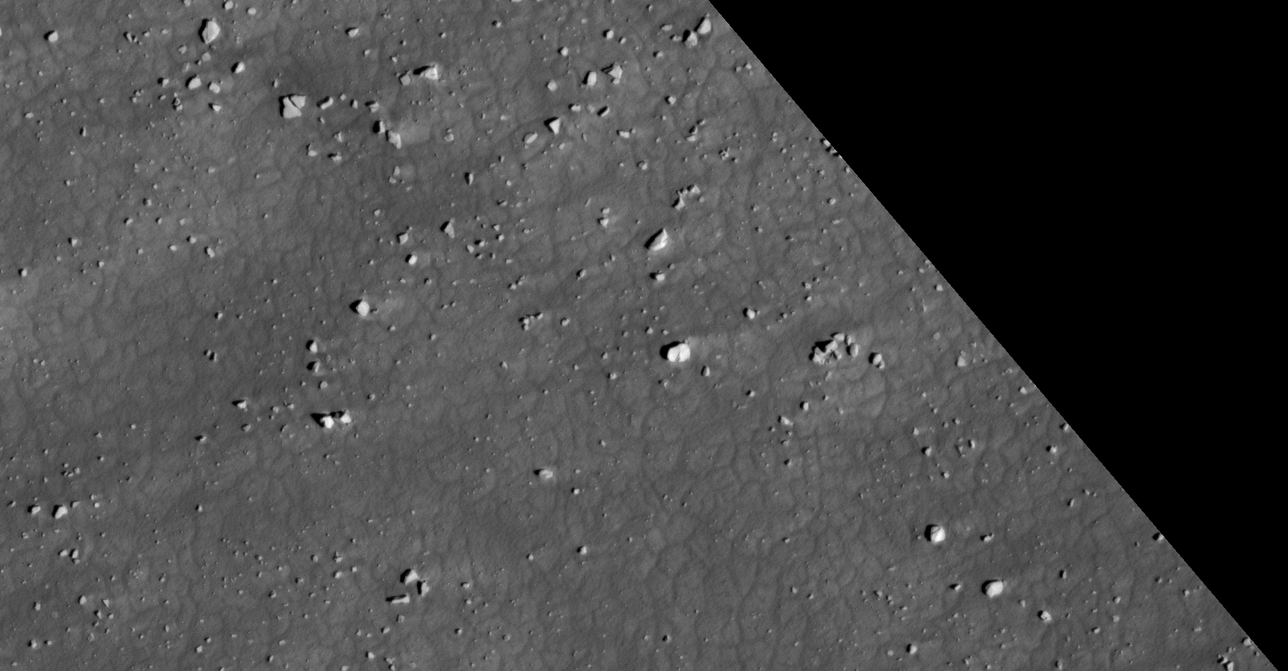
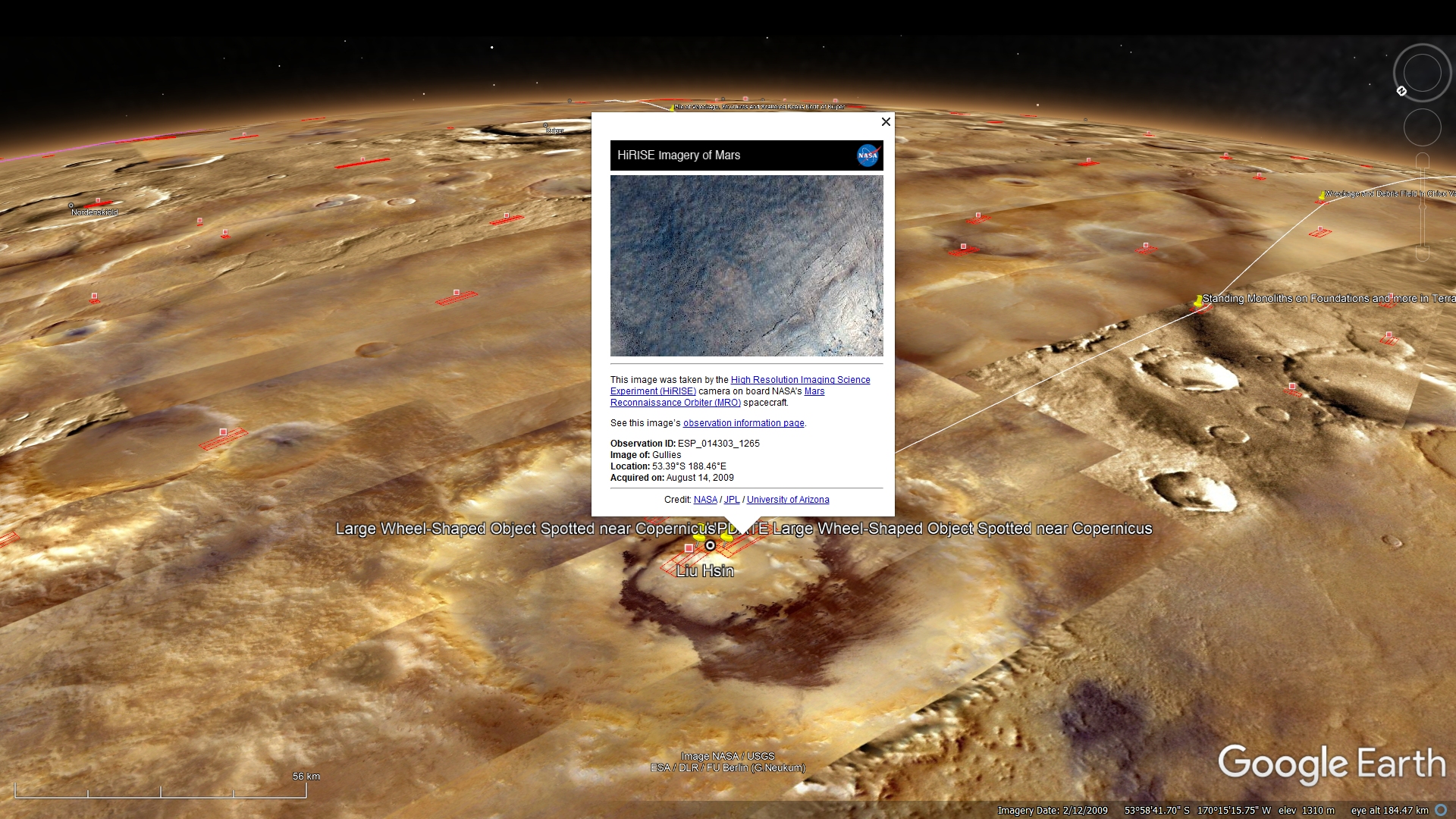
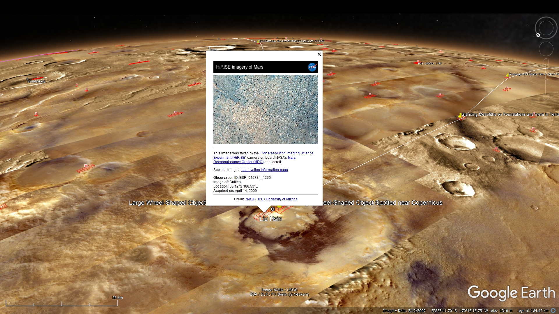
The photograph’s analyzed here (ESP_014303_1265 and ESP_012734_1265) were acquired by NASA’s Mars Reconnaissance Orbiter on 14 August 2009 and 14 April 2009 respectively and both are described as ‘Gullies.’
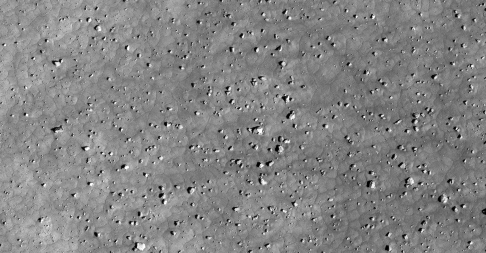
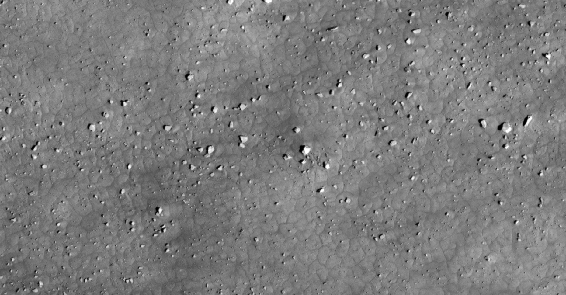
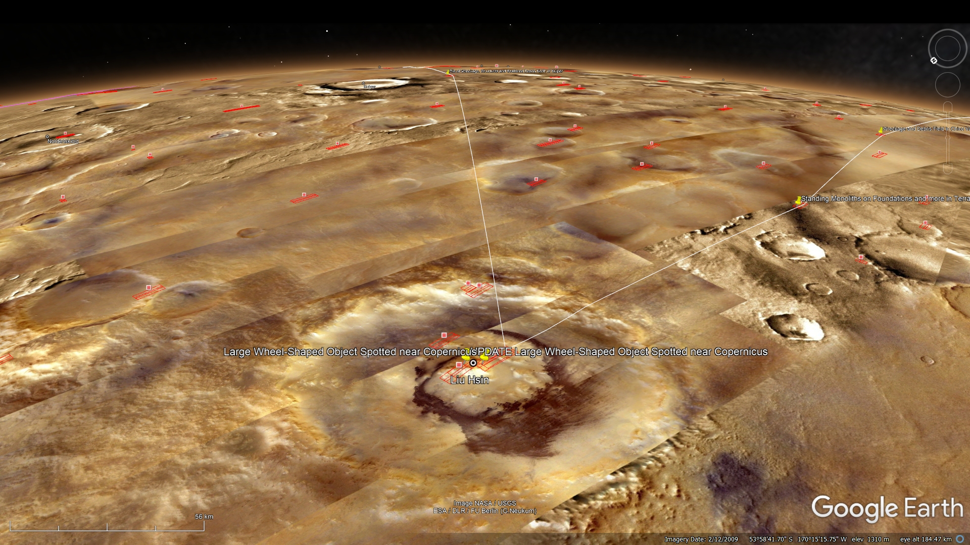
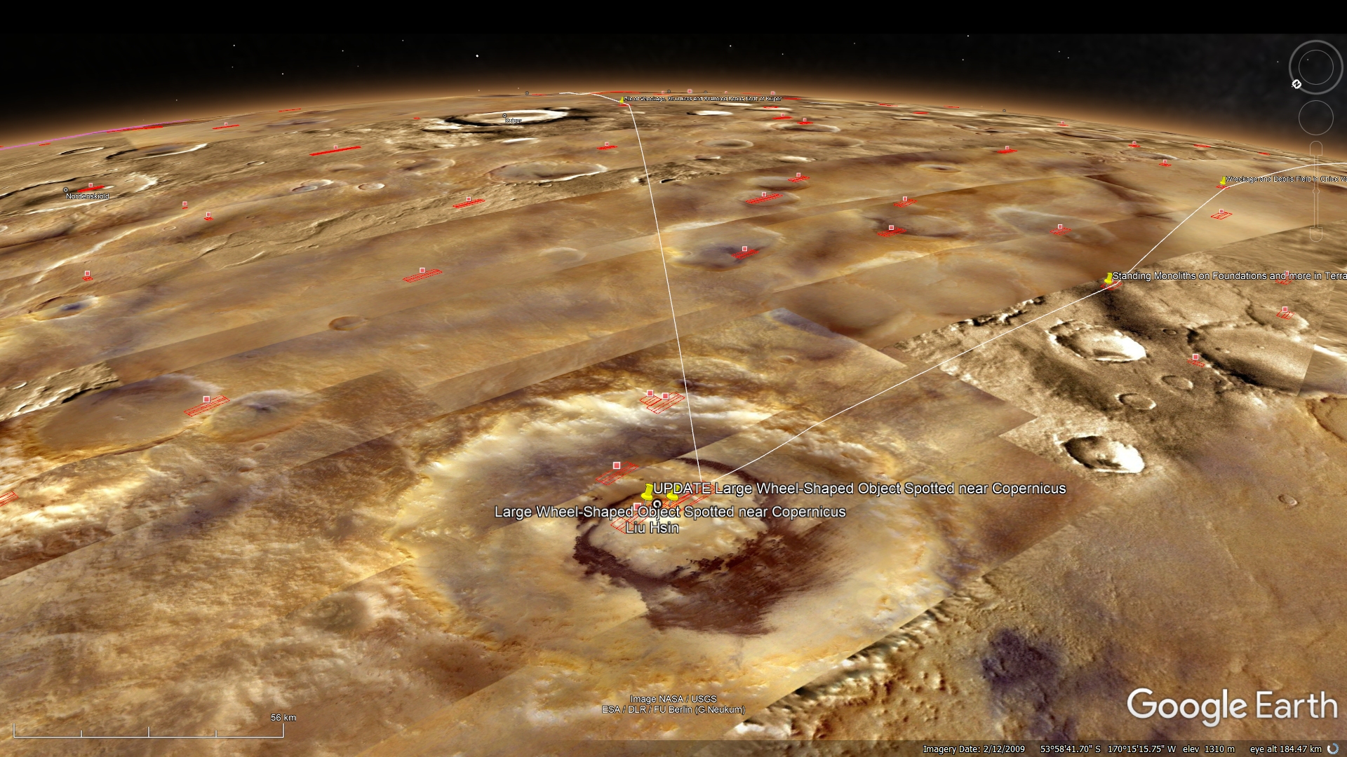
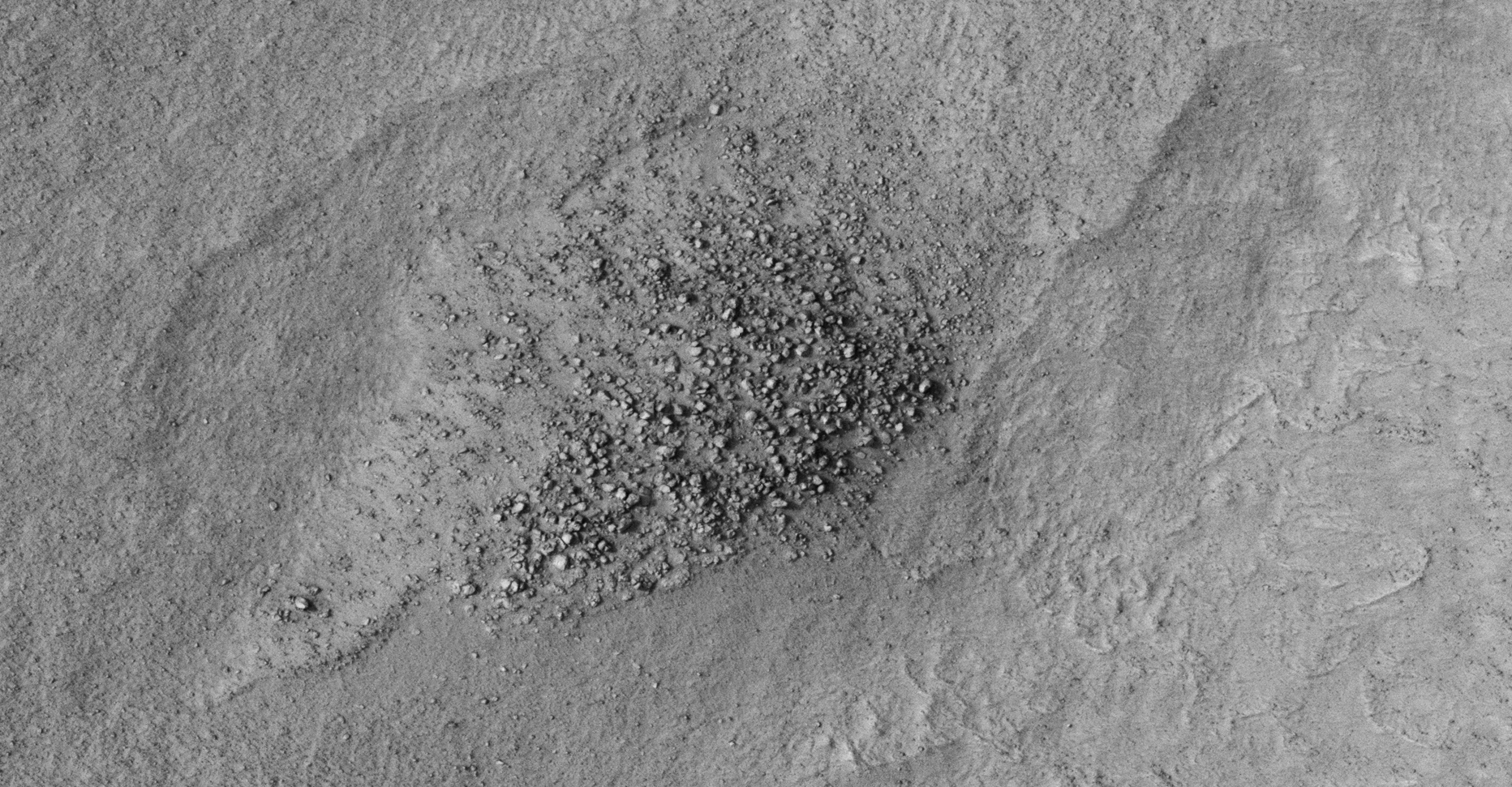
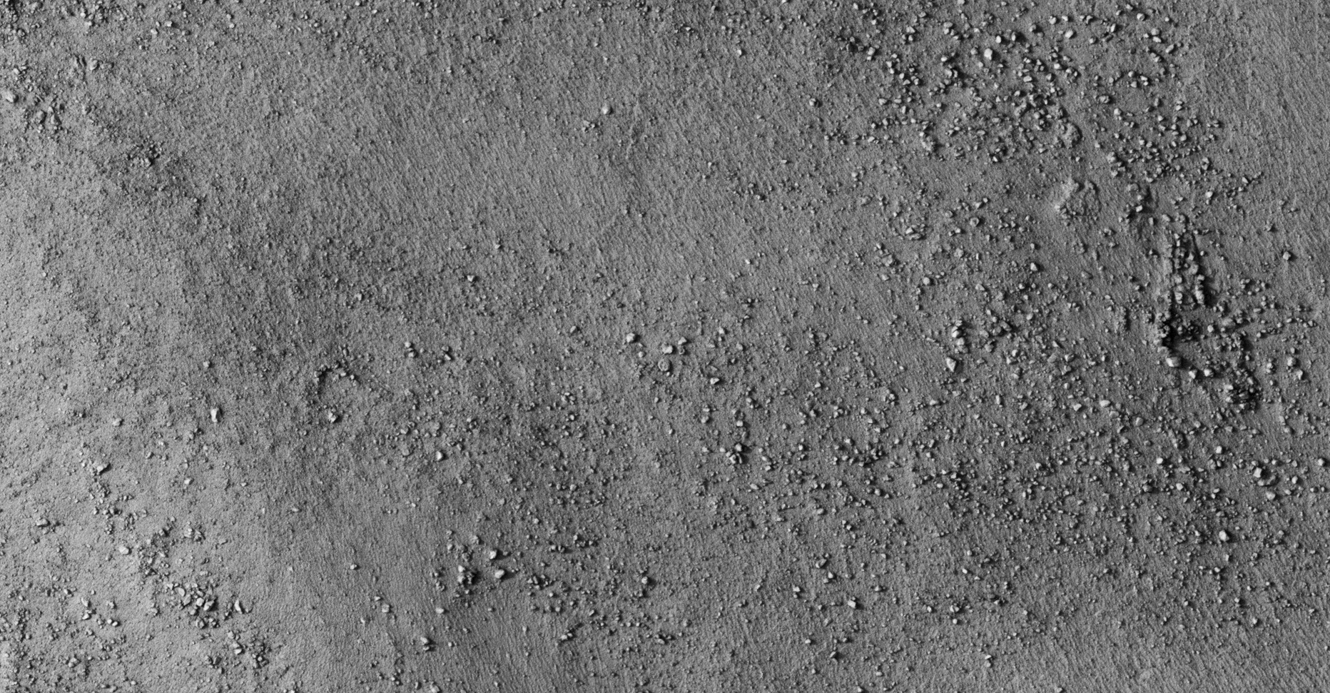
This update features two additional wheel-shaped object spotted by my friend Saturn Ark in Liu Hsin near Copernicus on Mars.
Their diameters are approximately 12 metres and are very similar to the wheel-shaped object featured in my previous video.
The first object has what looks like a five pointed star embedded on the one side however one of the two new objects has what looks like ‘spokes.’
Could these artifacts be some type of craft, wheels, barrels, containers or parts of a supporting columns from a larger structures that have somehow scattered across this vast debris field?
First wheel-shaped object
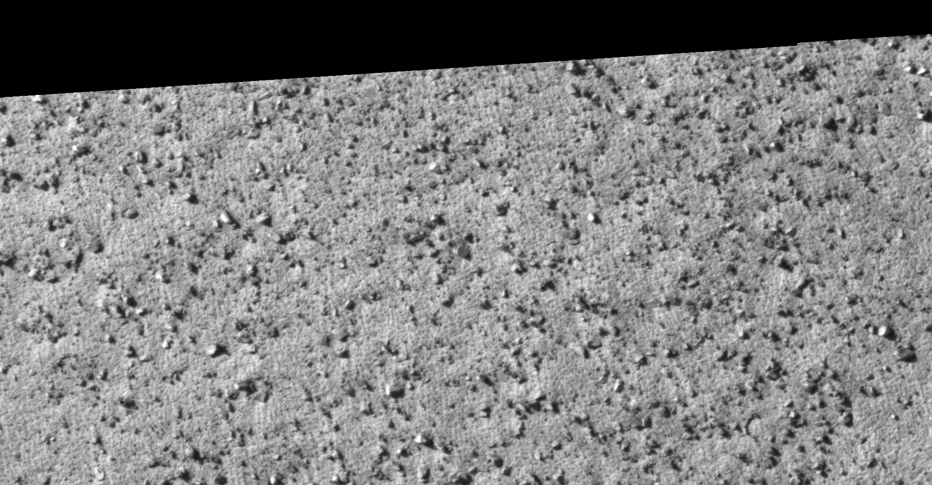
An elevated view of this site being analyzed (click for larger image)An elevated view of this site being analyzed (click for larger image)Click for larger image at 1:1 scale
Second and third wheel-shaped object
An elevated view of this site being analyzed (click for larger image)An elevated view of this site being analyzed (click for larger image)Click for larger image at 1:1 scaleClick for larger image at 1:1 scale
My YouTube video featuring ‘Large Wheel-Shaped Object Spotted near Copernicus on Mars:’
My YouTube video featuring ‘UPDATE Large Wheel-Shaped Object Spotted near Copernicus on Mars:’
Subscribe to my YouTube channel and turn on Notifications to receive updates when I upload new video’s.
I highly appreciate your contribution. Your contribution, no matter how small, will assist me in with administration running my YouTube Channel, Blog, Twitter and Facebook accounts and it will help cover my running costs/overheads like Internet fees (connectivity and hosting) and logistics.
I spend tens of hours researching, creating presentations, videoing and editing videos every month.
DISCLAIMER: Many or all of the anomalies/artefacts covered in this presentation may be naturally occurring geological features caused by some type of geological processes, however due to the lack of specific information from the source we can only speculate whether these are all natural or some artificial in nature.
In cases where I say an anomaly looks like something I’m attempting to clarify what I see and not specifically that the anomaly is what I say it looks like.
My intention is only to share anomalies I’ve discovered on Mars and not to convince anyone that there is or was a civilization on Mars.
As Will Farrar from WhatsUpInTheSky says: “I see what I see, you see what you see.”
FAIR USE NOTICE: This presentation might contain copyrighted material, the use of which has not specifically been authorized by the copyright owner/s. RaptorZone Mars Anomalies distributes this material for the purpose of news reporting, educational research, comment and criticism, constituting Fair Use under 17 U.S.C § 107. Please contact RaptorZone Mars Anomalies with any copyright issue/s.
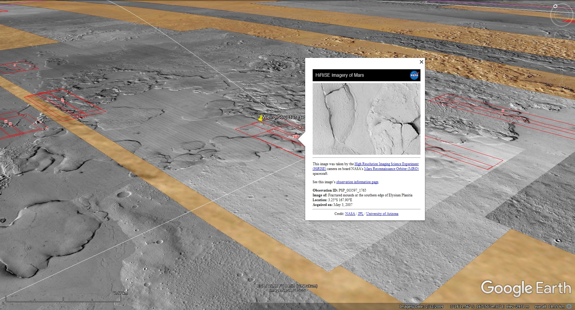
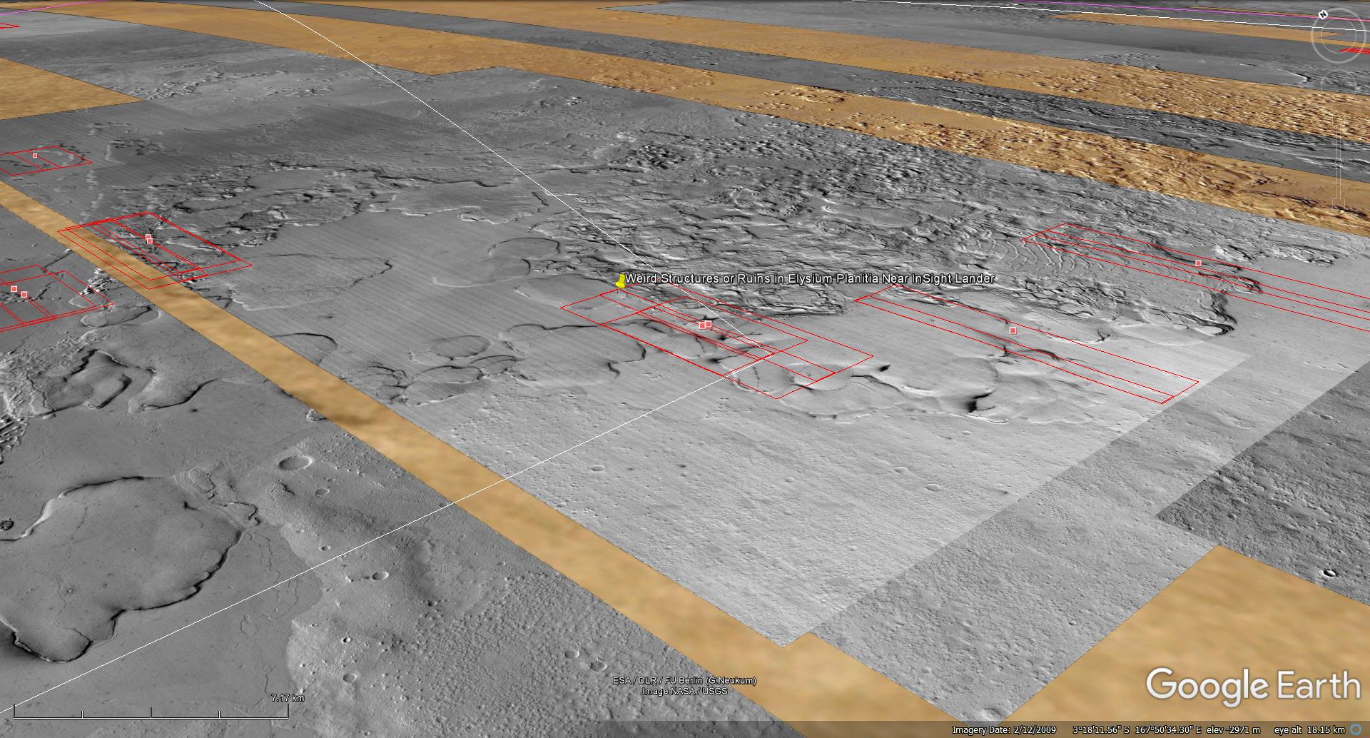
The photograph analyzed here (PSP_003597_1765) was taken by NASA’s Mars Reconnaissance Orbiter on 03 May 2007 and is described as ‘Fractured Mounds in Elysium Planitia.’
Previous photograph: PSP_002542_1765 taken on 10 February 2007 described as ‘Fractured Mounds at the Southern Edge of Elysium Planitia.’
Here we take a look at differences between the two stereo pair photographs which were taken four months apart.
The ‘ventilation hole’ in the center of the one ‘structure’ seems to be closed and covered by a small triangular ventilation cap and the huge megaliths next to the other ‘structure’ seemed to have toppled over onto the ‘structure.’
An elevated view of this site being analyzed (click for larger image)An elevated view of this site being analyzed (click for larger image)Original image at 1:1 scale (click for larger image)Original image at 1:1 scale (click for larger image)Original image at 1:1 scale (click for larger image)Original image at 1:1 scale (click for larger image)Original image at 1:1 scale (click for larger image)Original image at 1:1 scale (click for larger image)Original image at 1:1 scale (click for larger image)Original image at 1:1 scale (click for larger image)
Images saved from within HiView or CTX viewer do not include image scale indicators. The image scale indicators I include in images are based on the official resolutions provided by NASA and although I strive to be as accurate as possible there may be slight deviations from the actual scale. Image scale indicators are included as a size approximation tool only.
Geometry lines are mapped as accurately as possible using the limited information, data and mapping tools available at the time, therefore the lines may deviate from target sites by a few kilometres. Revisions may be made in the future as new, more precise information, data and mapping tools become available.
Many or all of the anomalies/artefacts covered in this presentation may be naturally occurring geological features caused by some type of geological processes, however due to the lack of specific information from the source we can only speculate whether these are all natural or some artificial in nature.
In cases where I say an anomaly looks like something I’m attempting to clarify what I see and not specifically that the anomaly is what I say it looks like.
My intention is only to share anomalies I’ve discovered on Mars and not to convince anyone that there is or was a civilization on Mars.
As Will Farrar from WhatsUpInTheSky says: “I see what I see, you see what you see.”
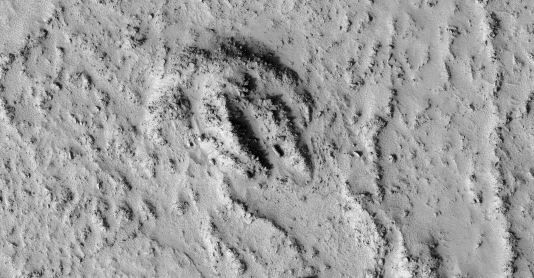
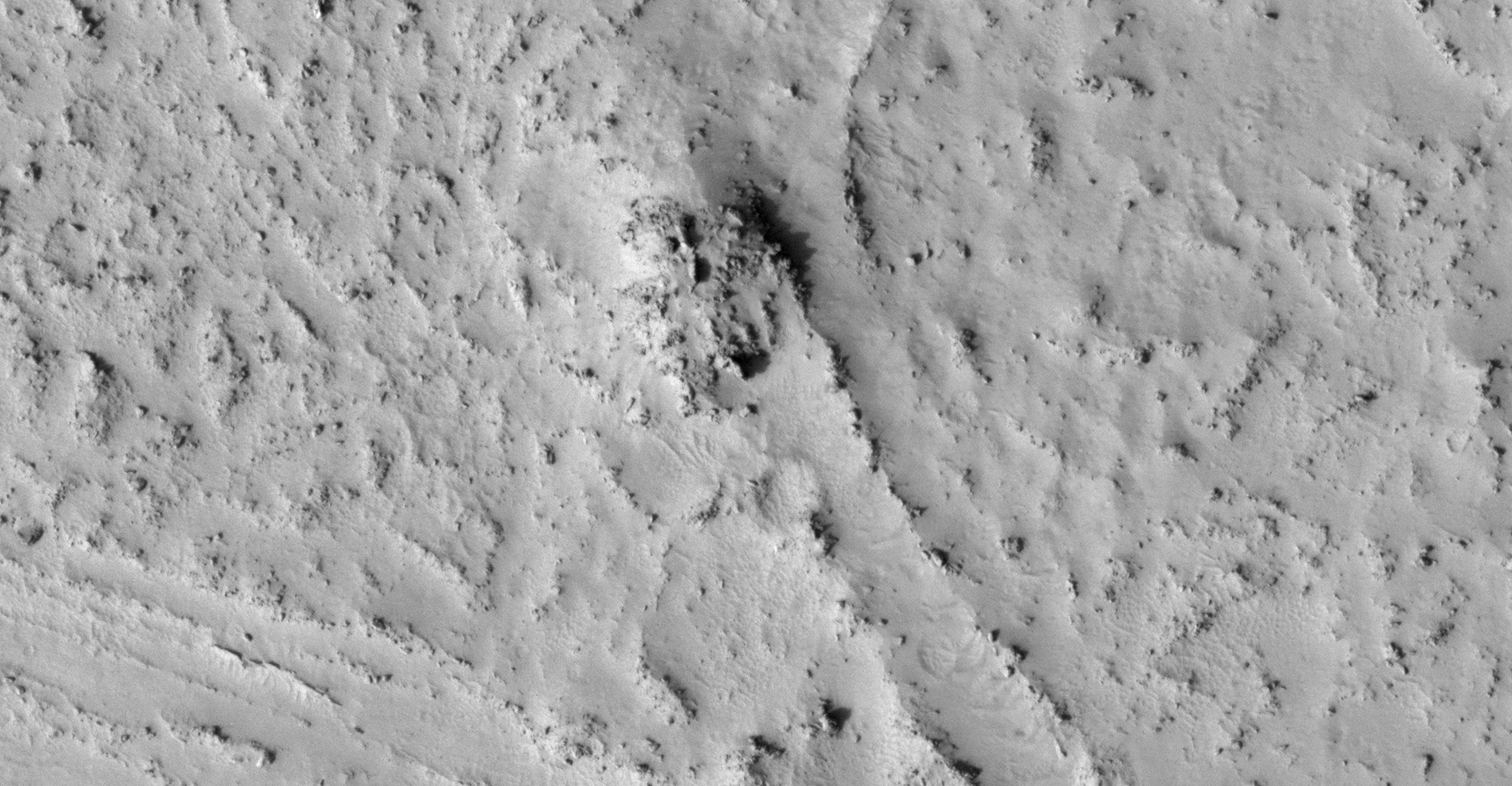
This is a collaborative work between my friend, Saturn Ark and myself in which evidence showing possible Horseshoe Crab-type fossils on Mars are presented.
Two HiRISE photographs are analyzed here:
PSP_003663_1775 was taken by NASA’s Mars Reconnaissance Orbiter on 08 May 2007 and is described as ‘Flow Obstructions and Wakes Southeast of Elysium Planitia.’
PSP_007777_1790 was taken by NASA’s Mars Reconnaissance Orbiter on 24 March 2008 and is described as ‘Vent Belonging to the Cerberus Tholi.’
Background
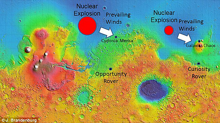
Extract from Dr. J.E. Brandenburg’s (Plasma Physicist) Presentation:
“Mars was apparently Earth-like for most of its history with an ocean and persistent greenhouse … ”
Mars experienced multiple devastating catastrophes:
“Mars suffered a Chixulube-size impact formed the Lyot Impact Basin and apparently collapsed Mars climate and dried up its oceans … “
Following an “indeterminate period Mars suffered a bizarre nuclear disaster … “
Reference: Evidence for a Large Anomalous Nuclear Explosions in Mars Past Dr. J.E. Brandenburg
Two massive nuclear explosions Source: Dr. J.E. BrandenburgEpic flooding in Elysium Planitia Wikipedia
My Hypothesis
Due to the Earth-like conditions, creatures similar to Horseshoe Crabs lived on Mars. They grew to epic proportions due to the lower gravity.
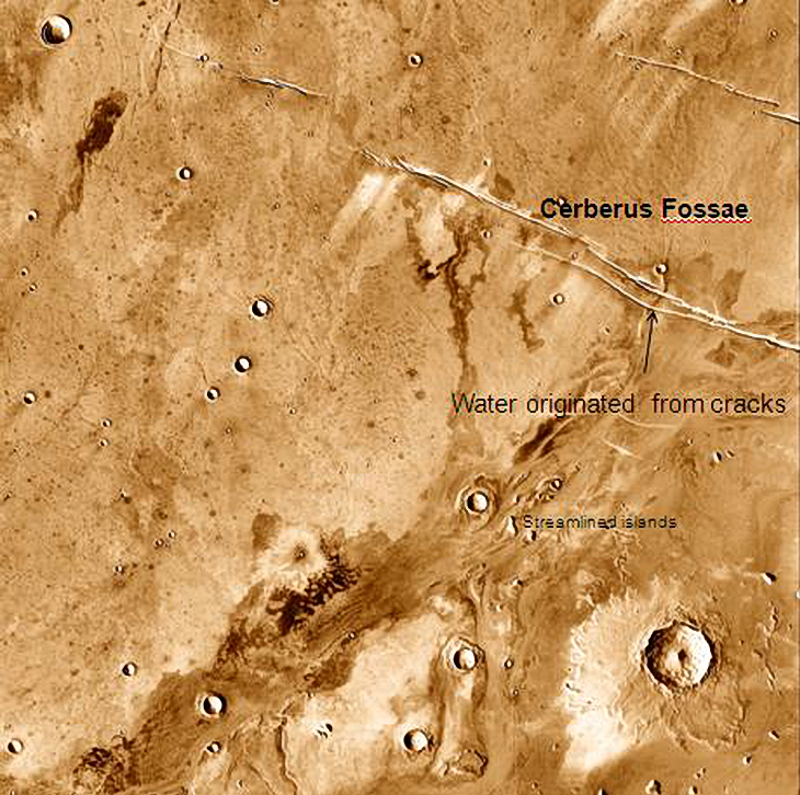
Mega flooding occurred with the initial impact in Lyot Impact Basin.
The oceans and lakes dried up and left mud and water pools scattered about.
Water based life-forms, like Horseshoe Crab-like creatures seemed to have survived in the mud and surrounding water pools.
These life-forms appear to have been killed and stopped in their tracks probably due to the nuclear explosion nearby, they then decomposed and fossilized. Only their tracks and fossilized remnants are now seen on Mars.
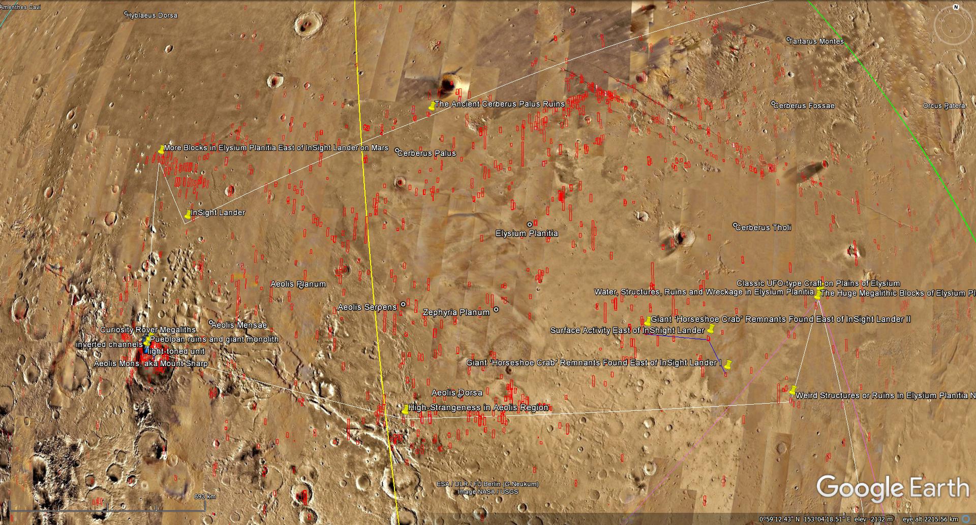
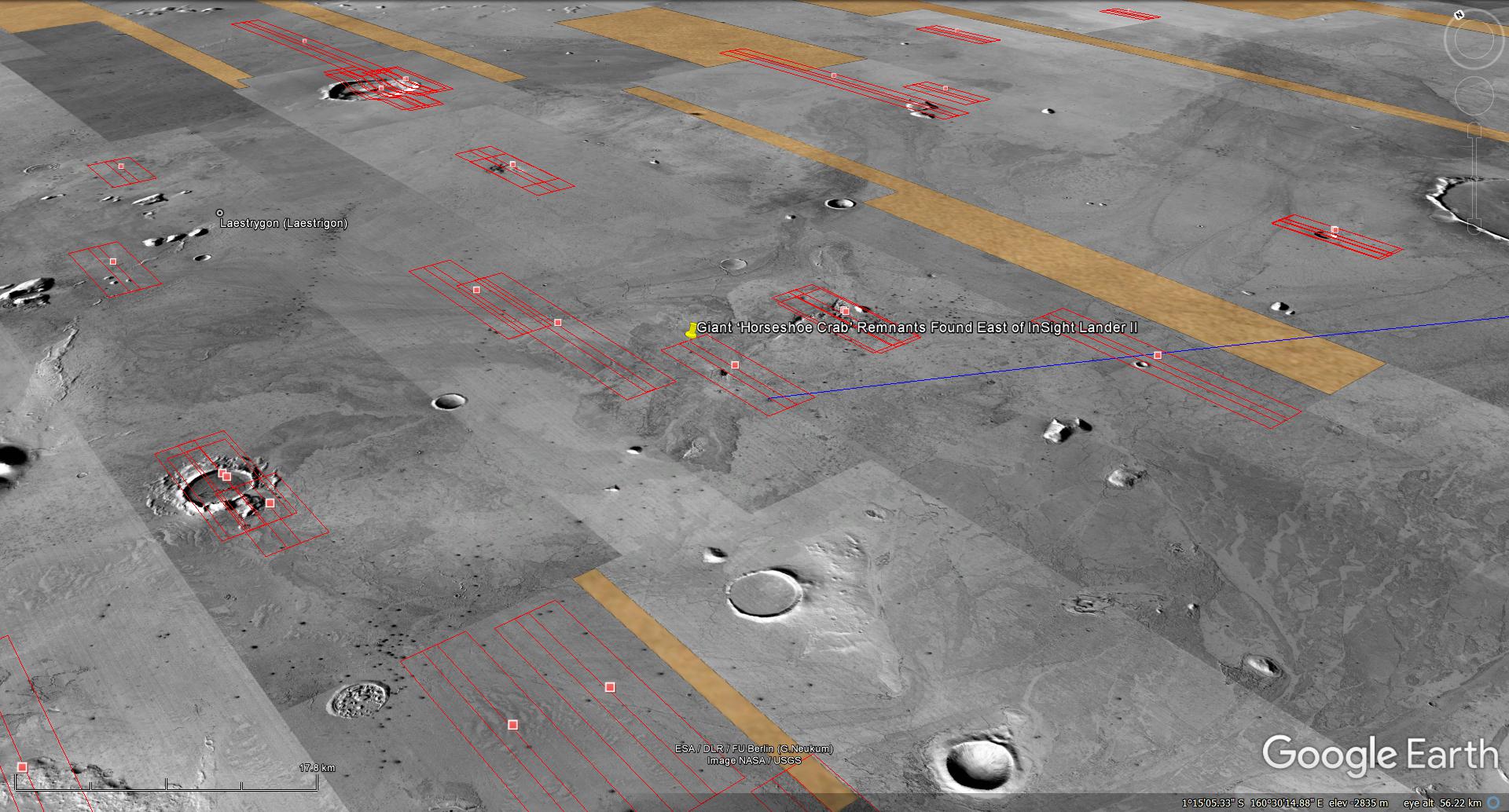
Elysium Planitia, the plains where they appear to have lived, is close to the 1st nuclear explosion in Mare Acidalium’s anti-node and just South of the 2nd nuclear explosion in Utopia Planum.
The mega-flooding and nuclear explosions devastated the Martian surface as seen in all the anomalies/artefacts researchers like myself are discovering.
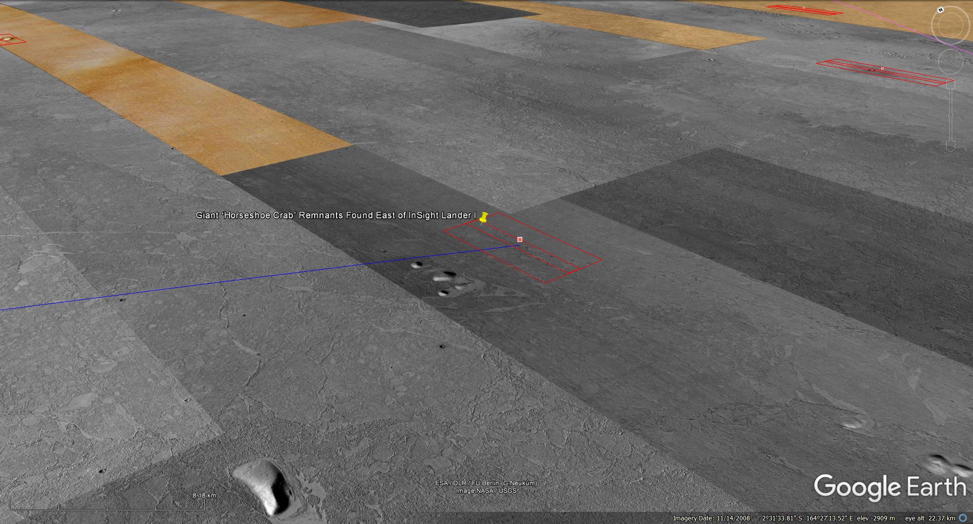
A Mars context map
The following map shows the section of Mars being analyzed. I think NASA knows about the megalithic block, ruins, structures, water and fossilized creatures I discovered, i.e. both InSight Lander as well as Curiosity Rover are nearby.
A Mars context map showing the section of Mars being analyzed (click for larger image)
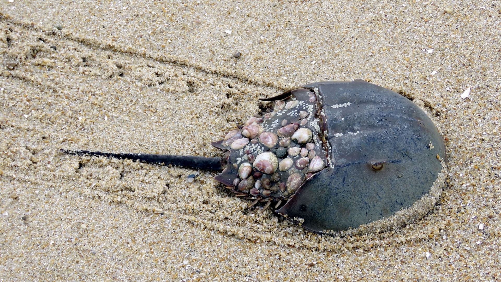
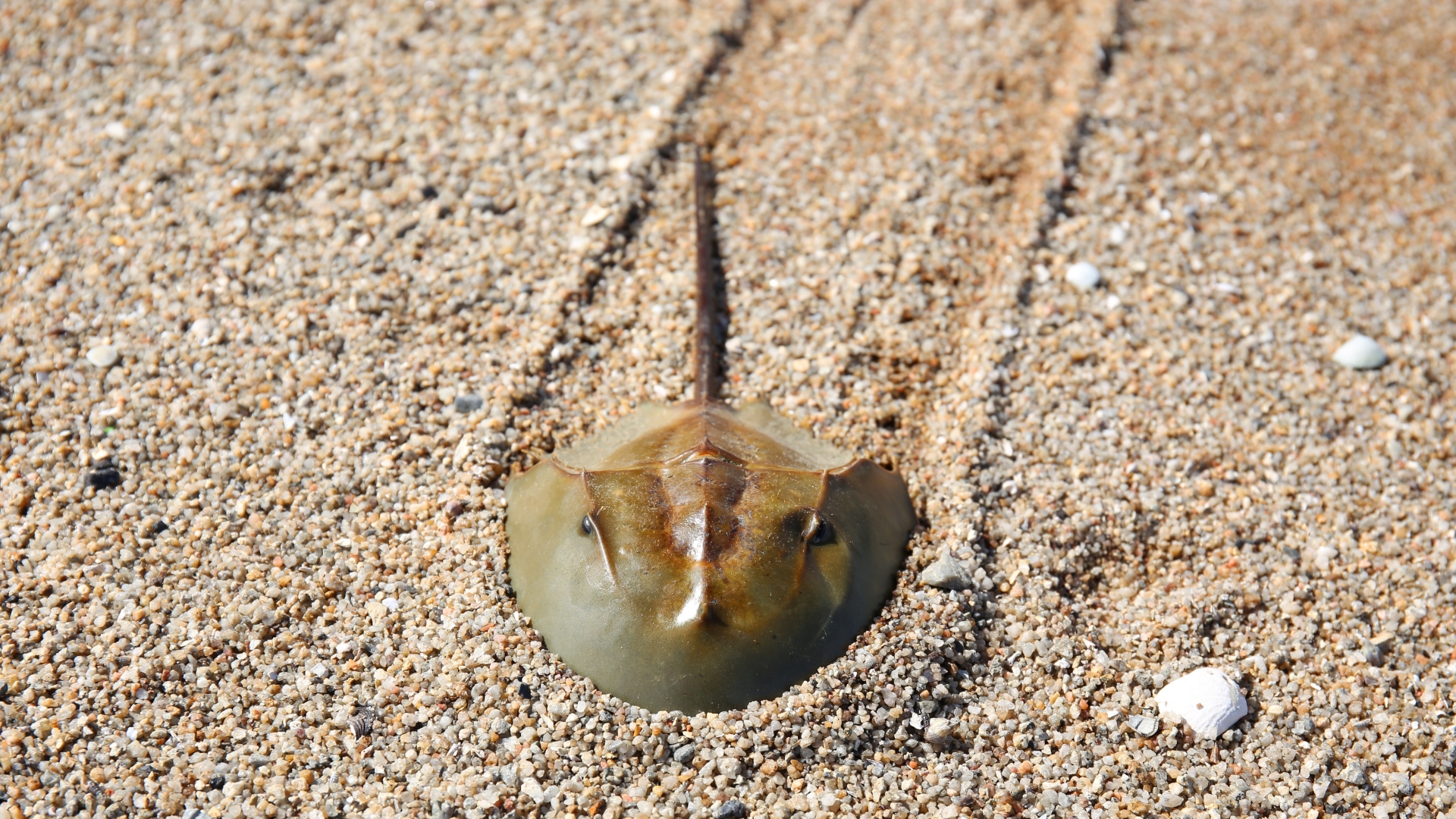
Photographs taken of Horseshoe Carbs on Earth
The following photographs show the track left by Horseshoe Crabs which are similar to those found on Mars, i.e. long straight paths, constant width, depth and small parallel ridges on either side of the tracks.
Horseshoe Crab (click for larger image)Horseshoe Crab (click for larger image)
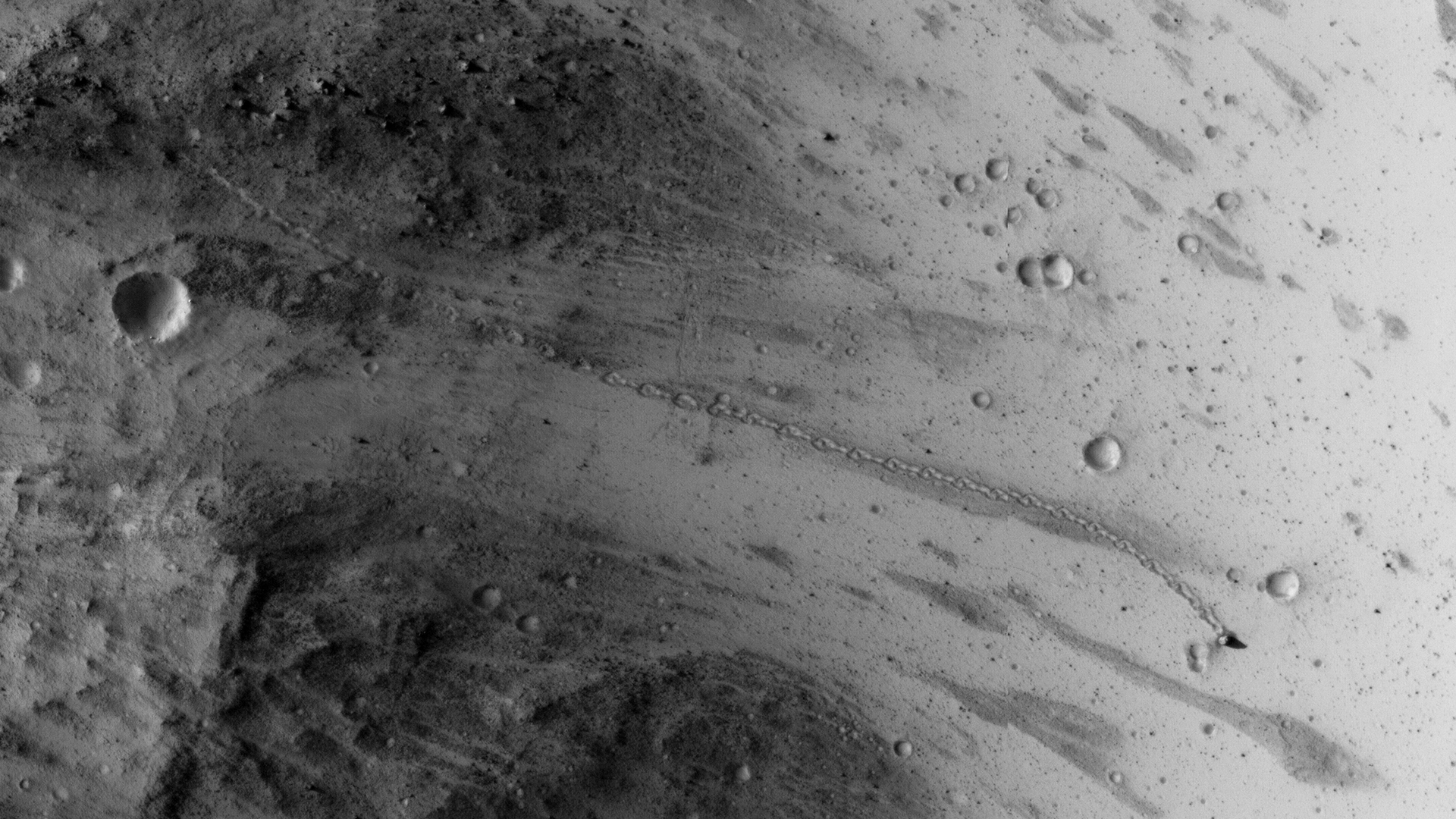
A HiRISE photograph taken of rolling bolder on Mars
Note the boulder track does not look at all like the tracks left by Horseshoe Crabs, i.e. random dot-dash line.
Rolling boulder on Mars (ESP_037190_1765) (click for larger image)
HiRISE photographs: Analysis
PSP_003663_1775 was taken by NASA’s Mars Reconnaissance Orbiter on 08 May 2007 and is described as ‘Flow Obstructions and Wakes Southeast of Elysium Planitia.’
An elevated view of this site being analyzed (click for larger image)An elevated view of this site being analyzed (click for larger image)A closer look at a path left by Horseshoe crab on Mars (click for larger image)A closer look at a path left by Horseshoe crab on Mars (click for larger image)Zoomed out view, not to scale (click for larger image)Zoomed out view, not to scale (click for larger image)Original image at 1:1 scale (click for larger image)Zoomed out view, not to scale (click for larger image)Zoomed out view, not to scale (click for larger image)Zoomed out view, not to scale (click for larger image)Original image at 1:1 scale (click for larger image)Zoomed out view, not to scale (click for larger image)Zoomed out view, not to scale (click for larger image)Original image at 1:1 scale (click for larger image)
PSP_007777_1790 was taken by NASA’s Mars Reconnaissance Orbiter on 24 March 2008 and is described as ‘Vent Belonging to the Cerberus Tholi.’
An elevated view of this site being analyzed (click for larger image)An elevated view of this site being analyzed (click for larger image)A closer look at a path left by Horseshoe crab on Mars (click for larger image)Zoomed out view, not to scale (click for larger image)Zoomed out view, not to scale (click for larger image)Original image at 1:1 scale (click for larger image)
Images saved from within HiView or CTX viewer do not include image scale indicators. The image scale indicators I include in images are based on the official resolutions provided by NASA and although I strive to be as accurate as possible there may be slight deviations from the actual scale. Image scale indicators are included as a size approximation tool only.
Geometry lines are mapped as accurately as possible using the limited information, data and mapping tools available at the time, therefore the lines may deviate from target sites by a few kilometres. Revisions may be made in the future as new, more precise information, data and mapping tools become available.
Many or all of the anomalies/artefacts covered in this presentation may be naturally occurring geological features caused by some type of geological processes, however due to the lack of specific information from the source we can only speculate whether these are all natural or some artificial in nature.
In cases where I say an anomaly looks like something I’m attempting to clarify what I see and not specifically that the anomaly is what I say it looks like.
My intention is only to share anomalies I’ve discovered on Mars and not to convince anyone that there is or was a civilization on Mars.
As Will Farrar from WhatsUpInTheSky says: “I see what I see, you see what you see.”
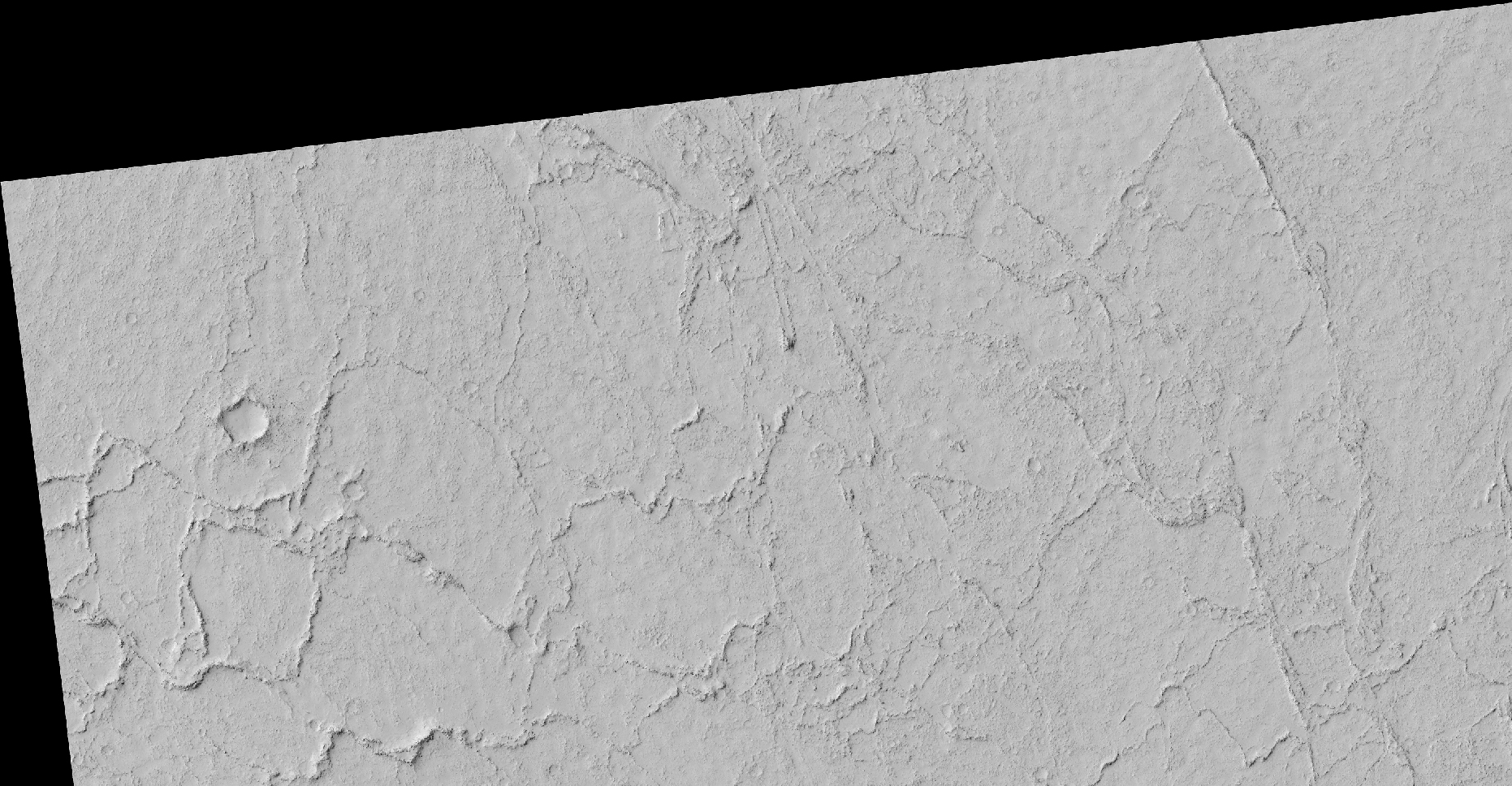
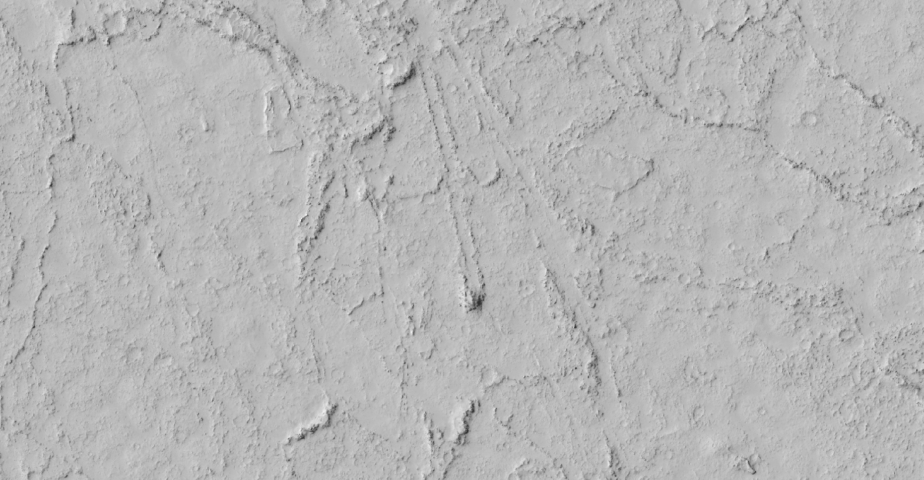
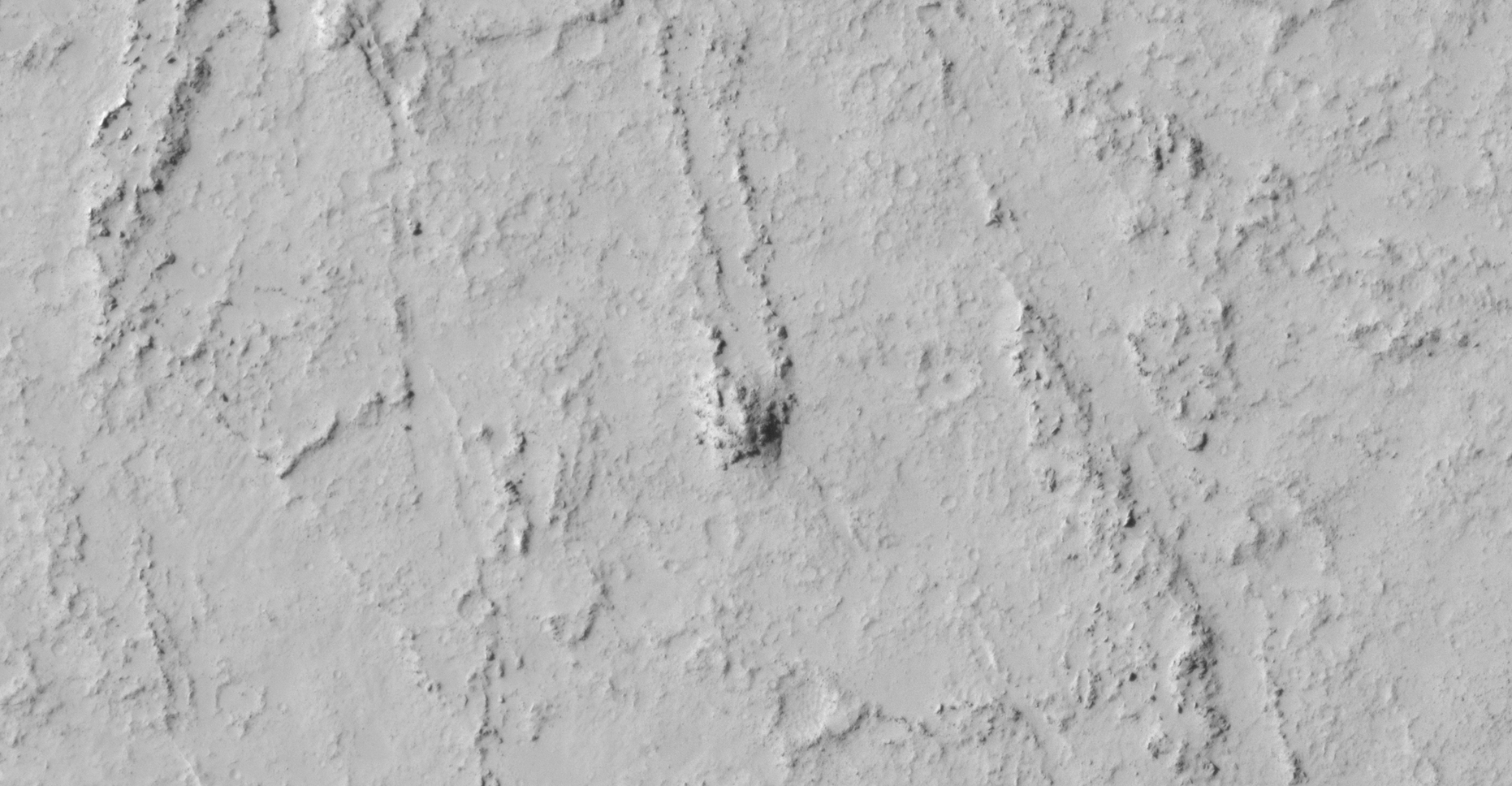
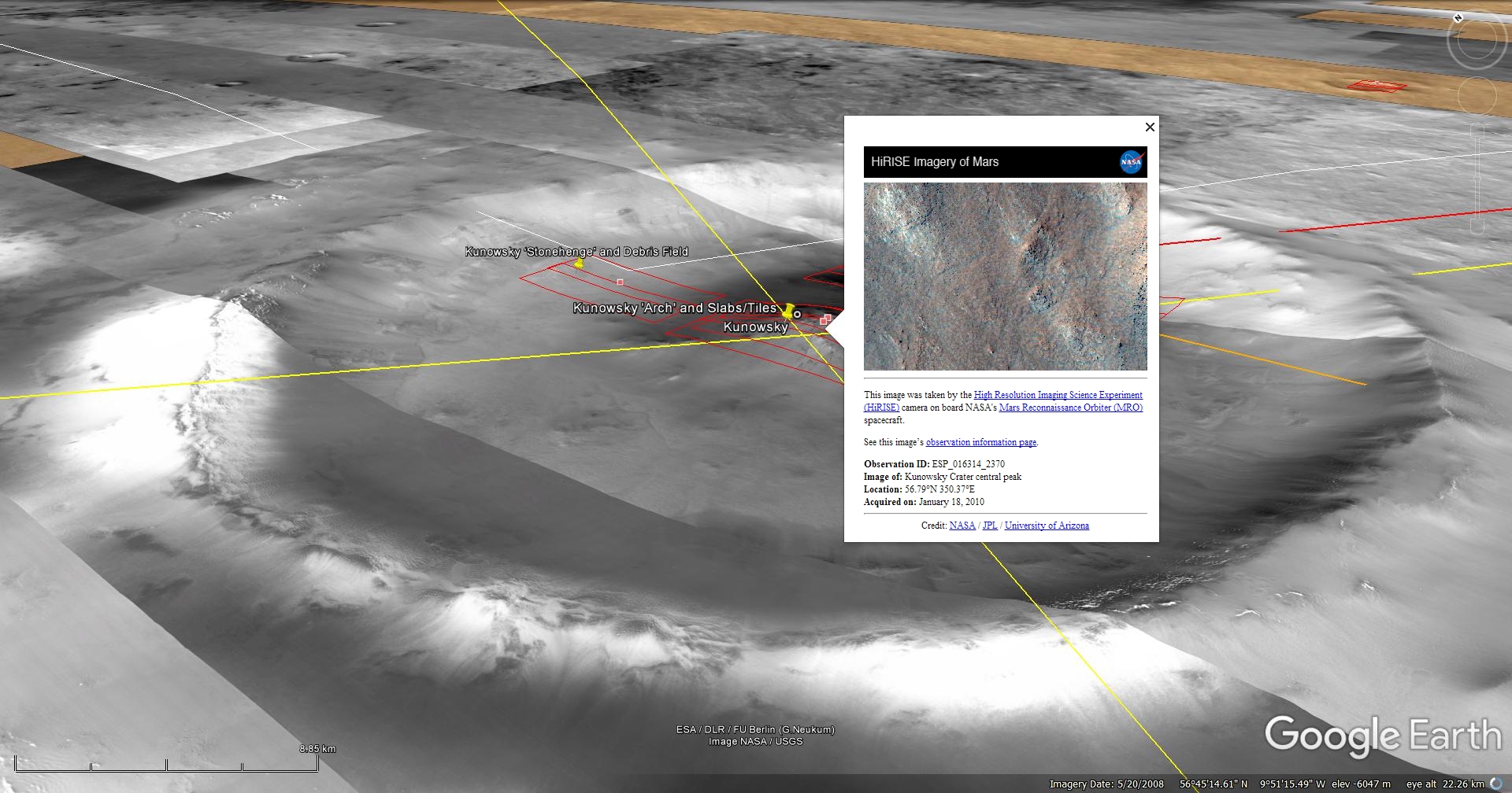
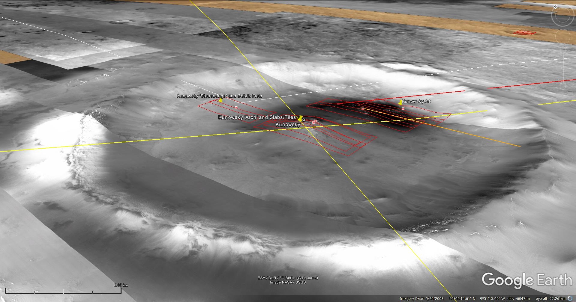
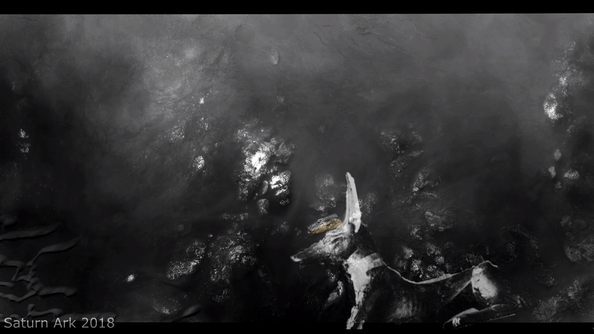
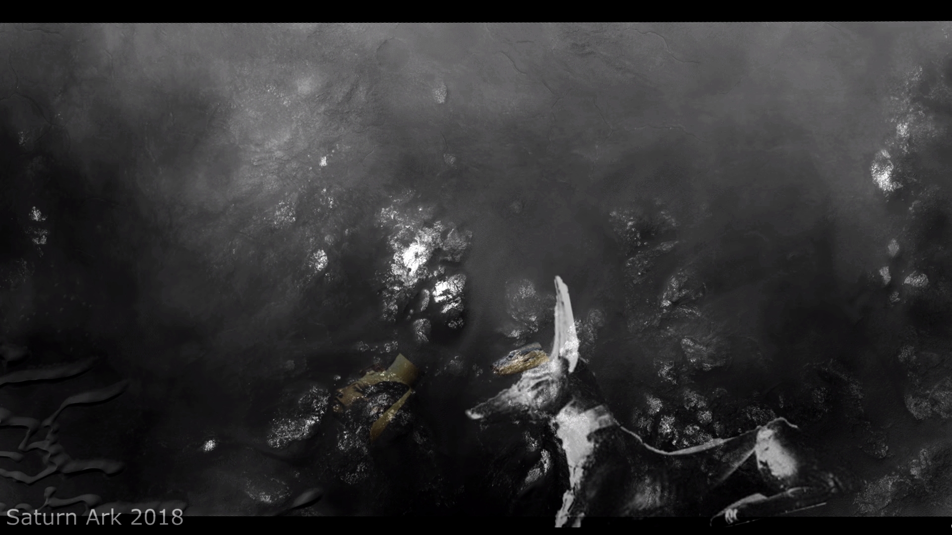
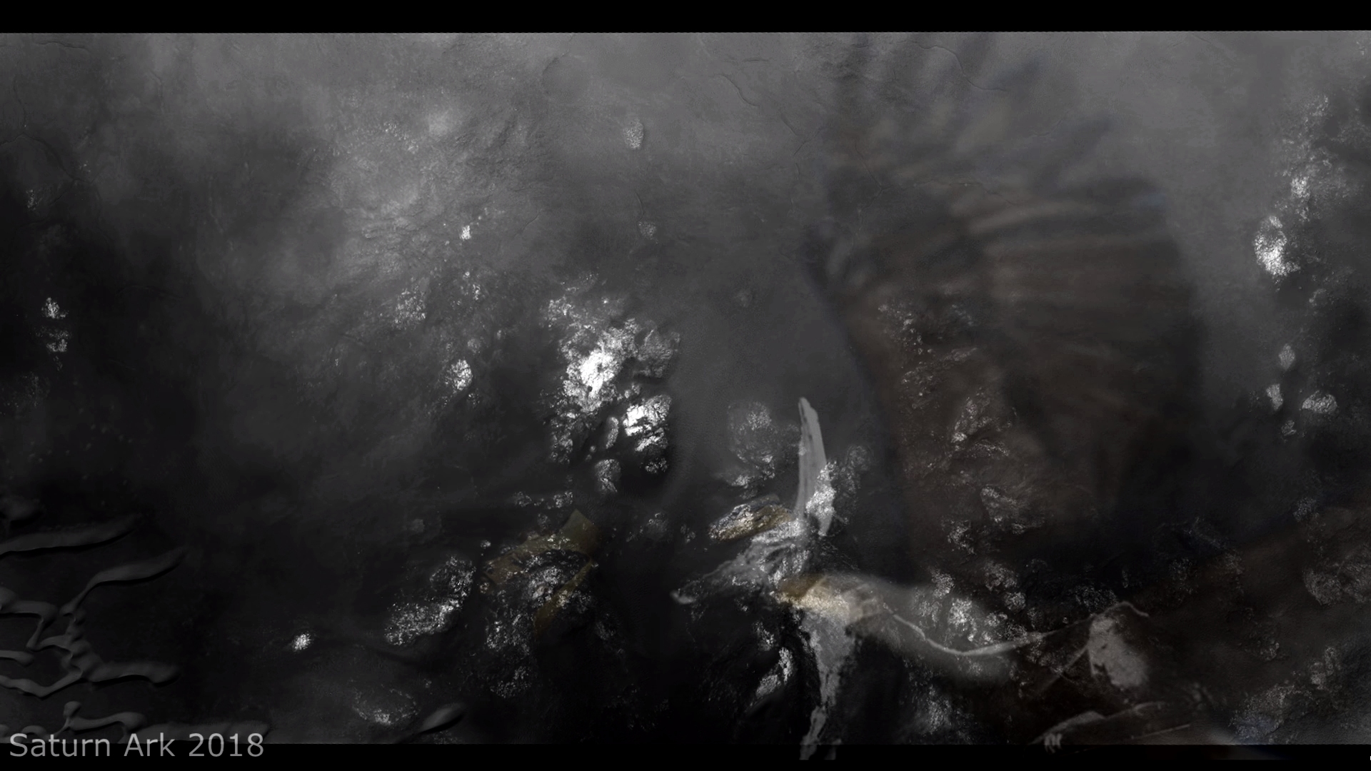
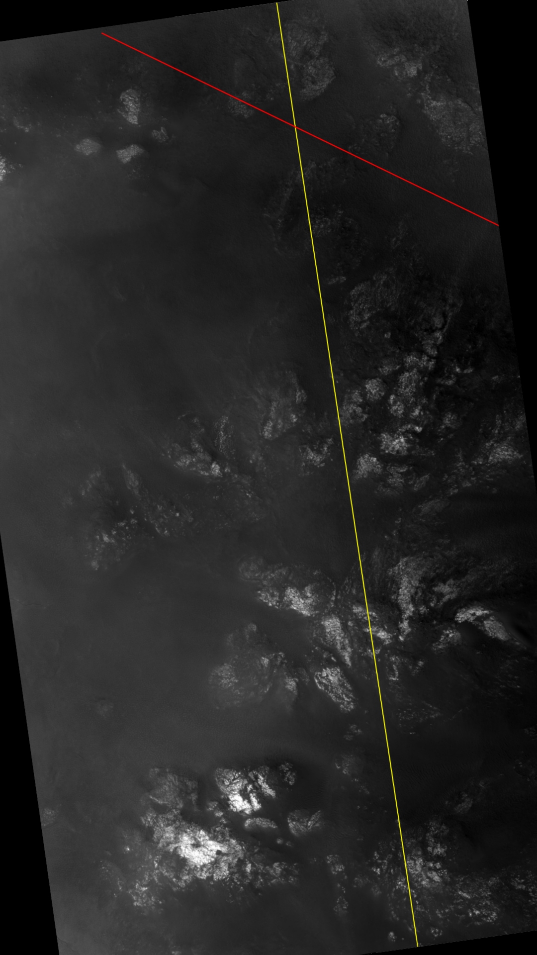
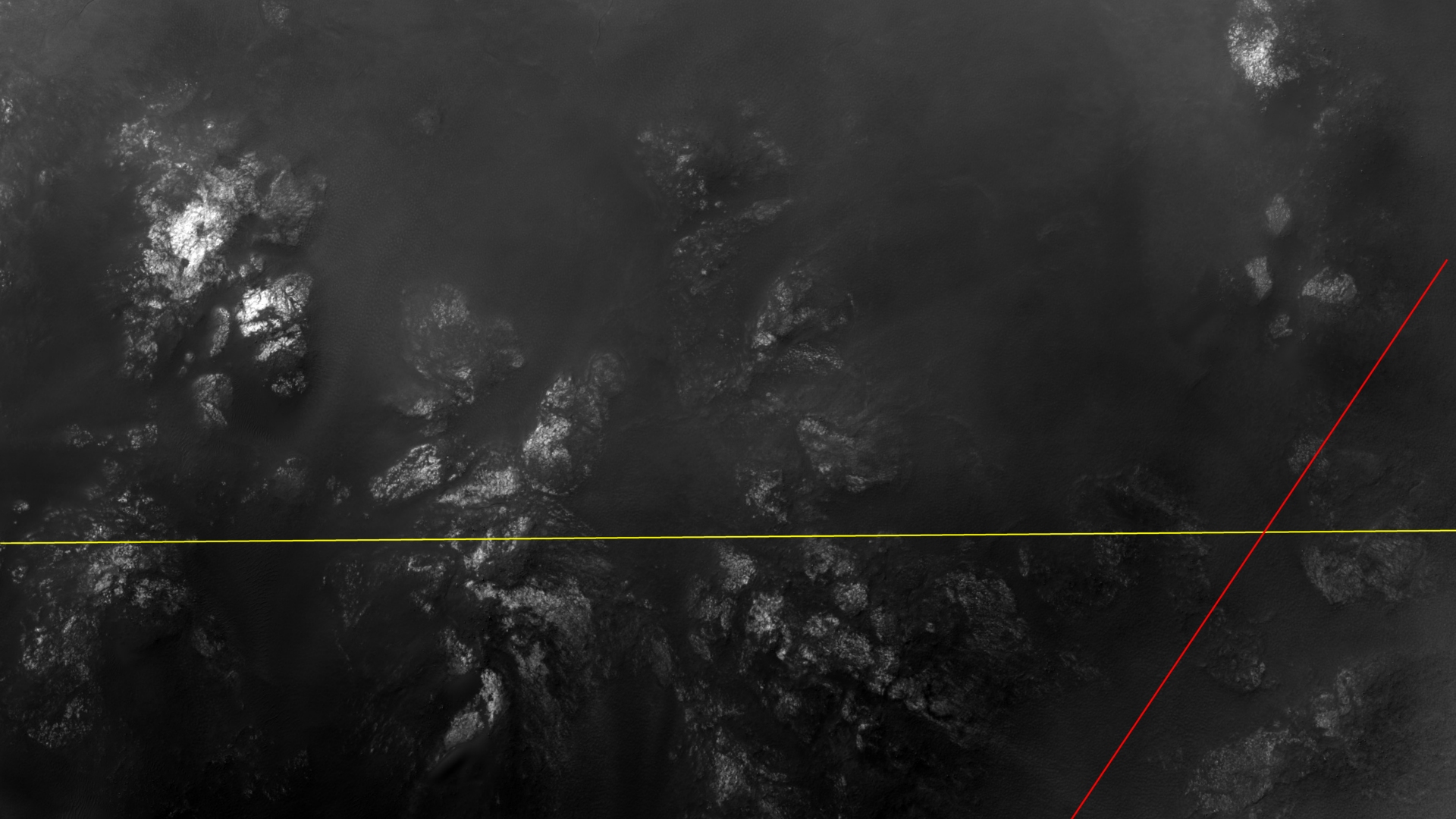
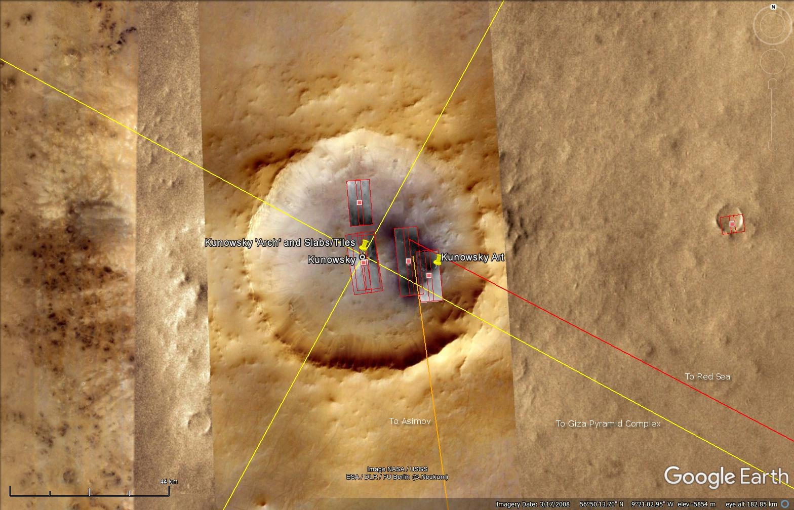
The photograph analyzed here (ESP_016314_2370) was taken by NASA’s Mars Reconnaissance Orbiter on 18 January 2010 and is described as ‘Kunowsky Crater Central Peak.’
Originally discovered by my friend Saturn Ark, we revisit the so-called ‘Kunowsky Arch’ in colour.
The artefact, which measures about 17 meters per side, looks like a capital letter ‘A’ or triangular arch which has fallen over and broken into pieces.
From the colour and texture it almost appears to be made of a marble-type material.
An elevated view of this site being analyzed (click for larger image)An elevated view of this site being analyzed (click for larger image)
Colour images:
The following images were cropped from the RGB Colour None-Map Projected JP2:
Original image at 1:1 scale (click for larger image)Original image at 1:1 scale (click for larger image)
Black and White images:
The following images were cropped from the Black and White Map Projected JP2 and show additional anomalies found in this HiRISE photograph:
Rectangular block with row of smaller, uniform blocks equally spaced (click for larger image)Circular object with triangular feature on the side and two rectangular objects on either side (click for larger image)‘Skirt-type base’ and smaller oblong dome object on top (click for larger image)
Images saved from within HiView or CTX viewer do not include image scale indicators. The image scale indicators I include in images are based on the official resolutions provided by NASA and although I strive to be as accurate as possible there may be slight deviations from the actual scale. Image scale indicators are included as a size approximation tool only.
Geometry lines are mapped as accurately as possible using the limited information, data and mapping tools available at the time, therefore the lines may deviate from target sites by a few kilometres. Revisions may be made in the future as new, more precise information, data and mapping tools become available.
Many or all of the anomalies/artefacts covered in this presentation may be naturally occurring geological features caused by some type of geological processes, however due to the lack of specific information from the source we can only speculate whether these are all natural or some artificial in nature.
In cases where I say an anomaly looks like something I’m attempting to clarify what I see and not specifically that the anomaly is what I say it looks like.
My intention is only to share anomalies I’ve discovered on Mars and not to convince anyone that there is or was a civilization on Mars.
As Will Farrar from WhatsUpInTheSky says: “I see what I see, you see what you see.”
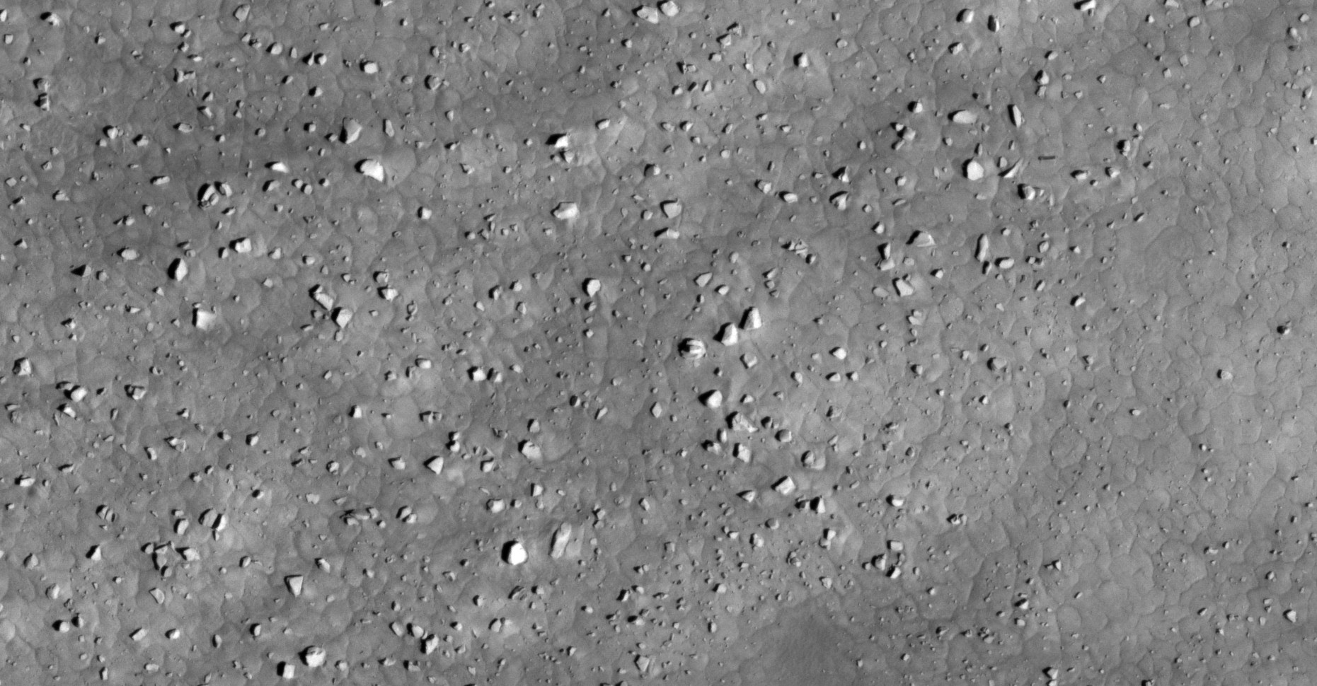
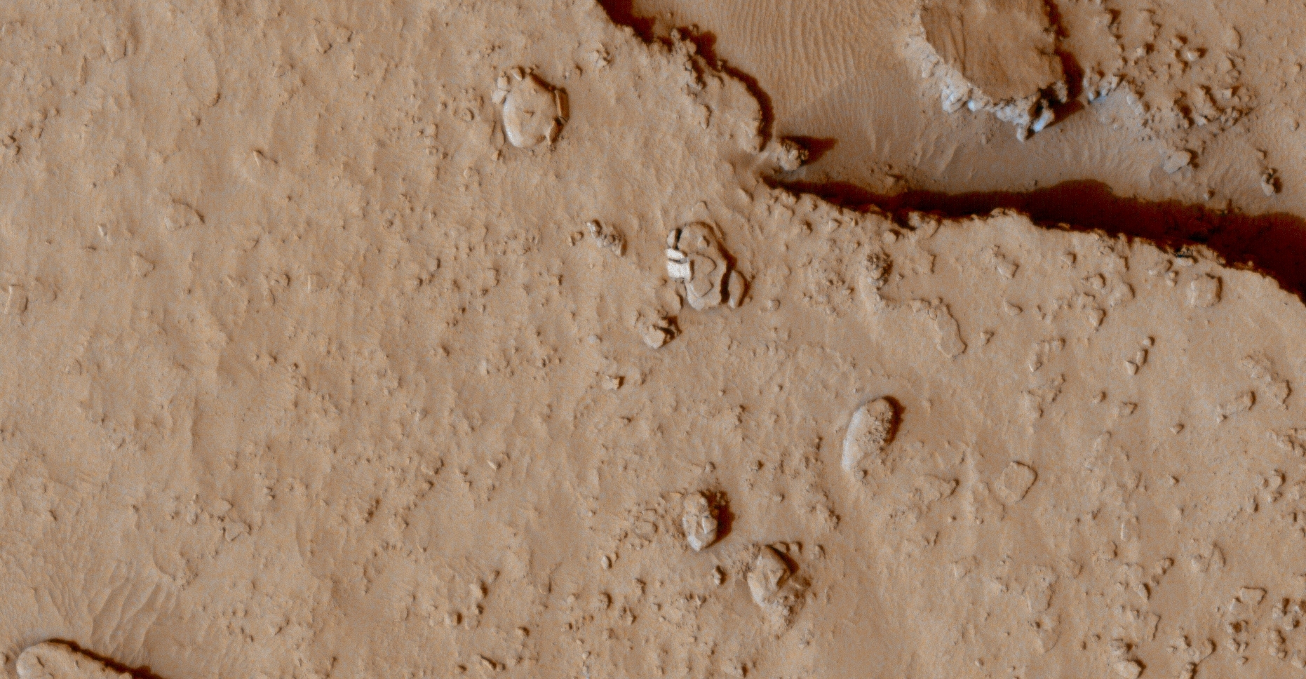
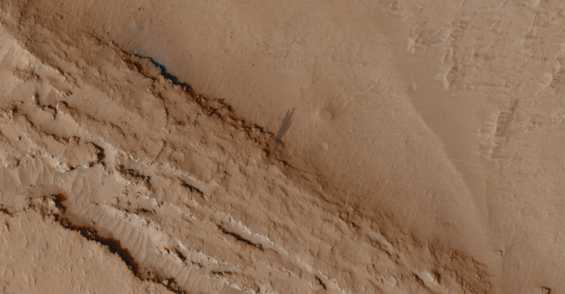
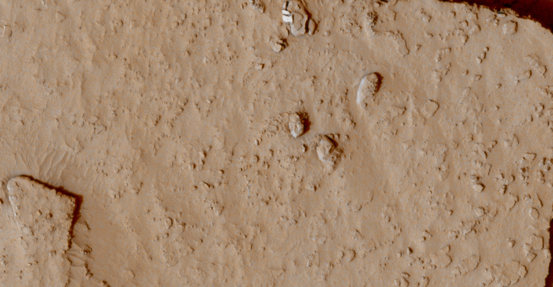
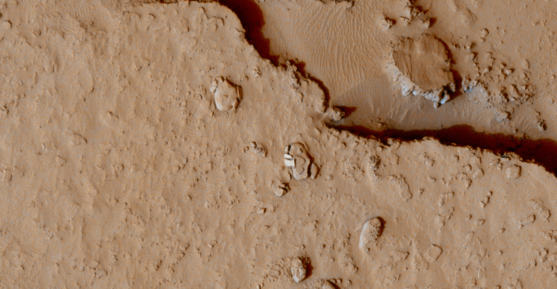
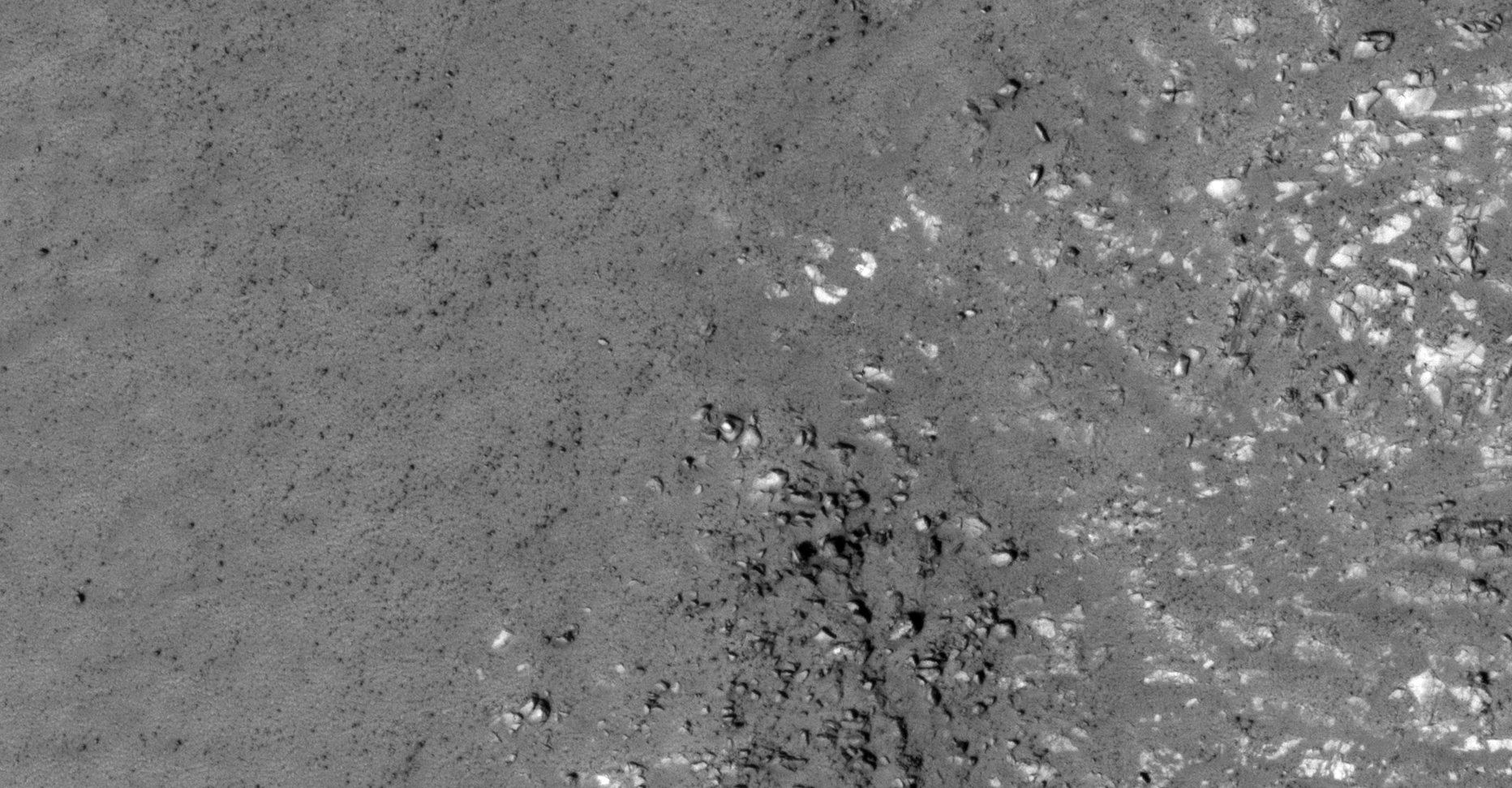
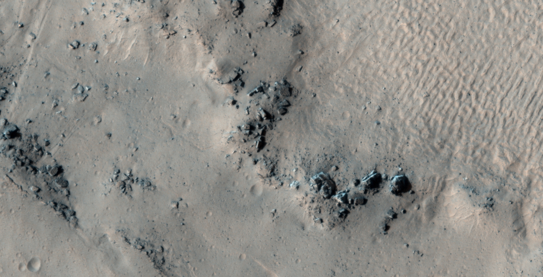
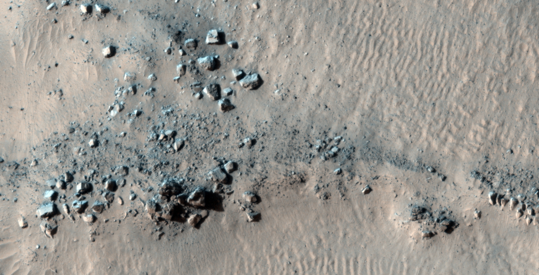
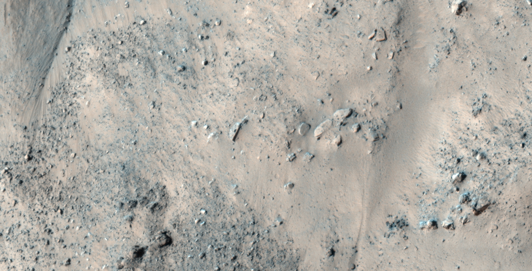
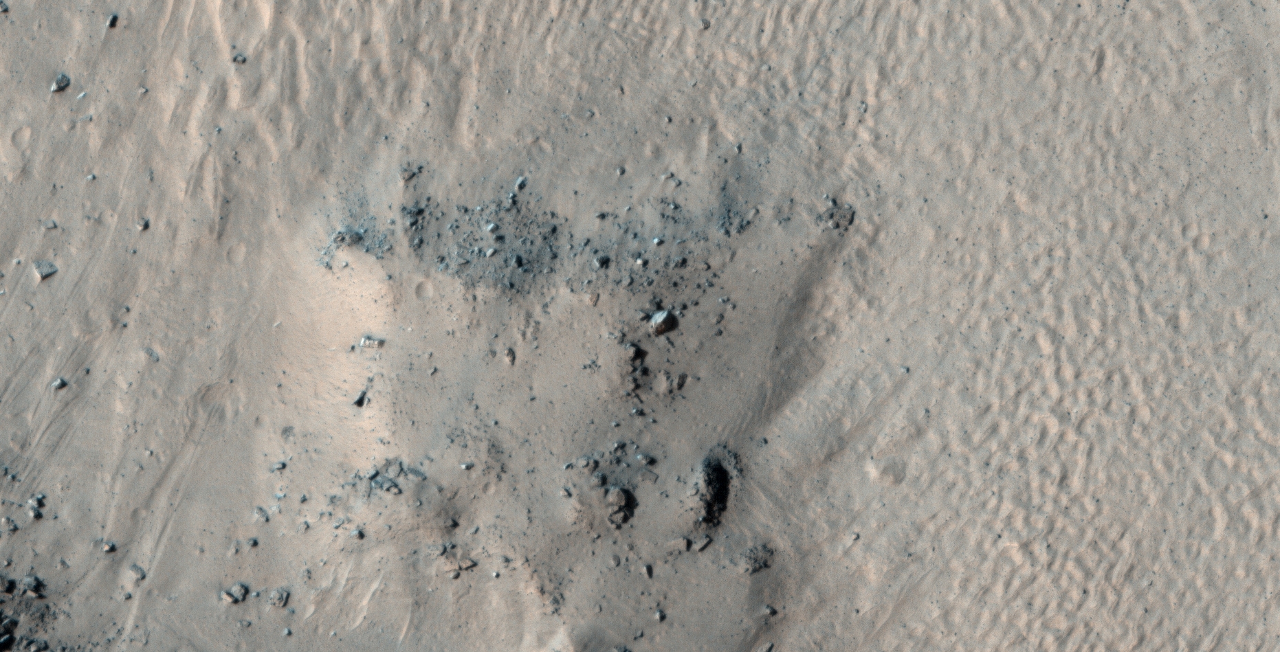
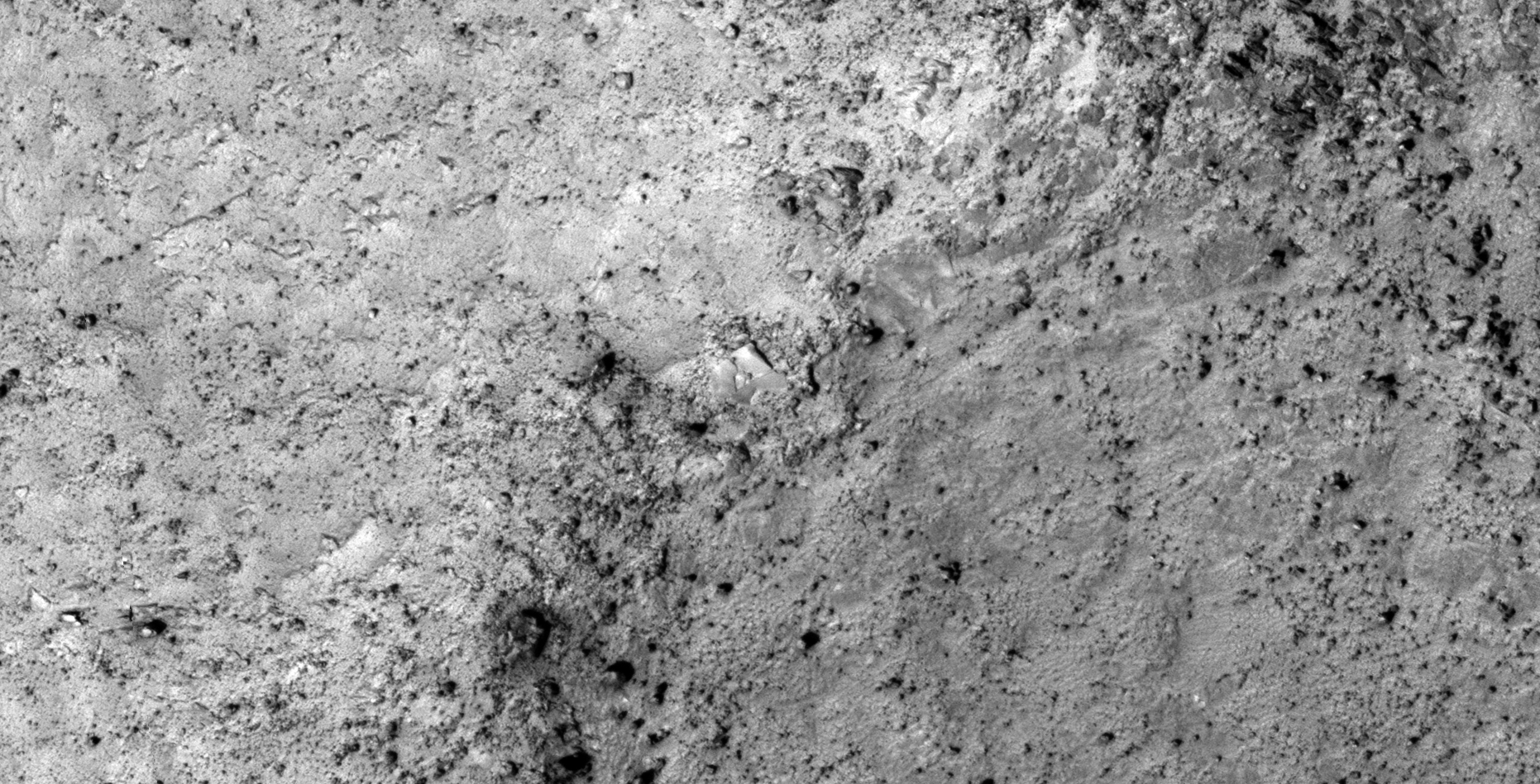
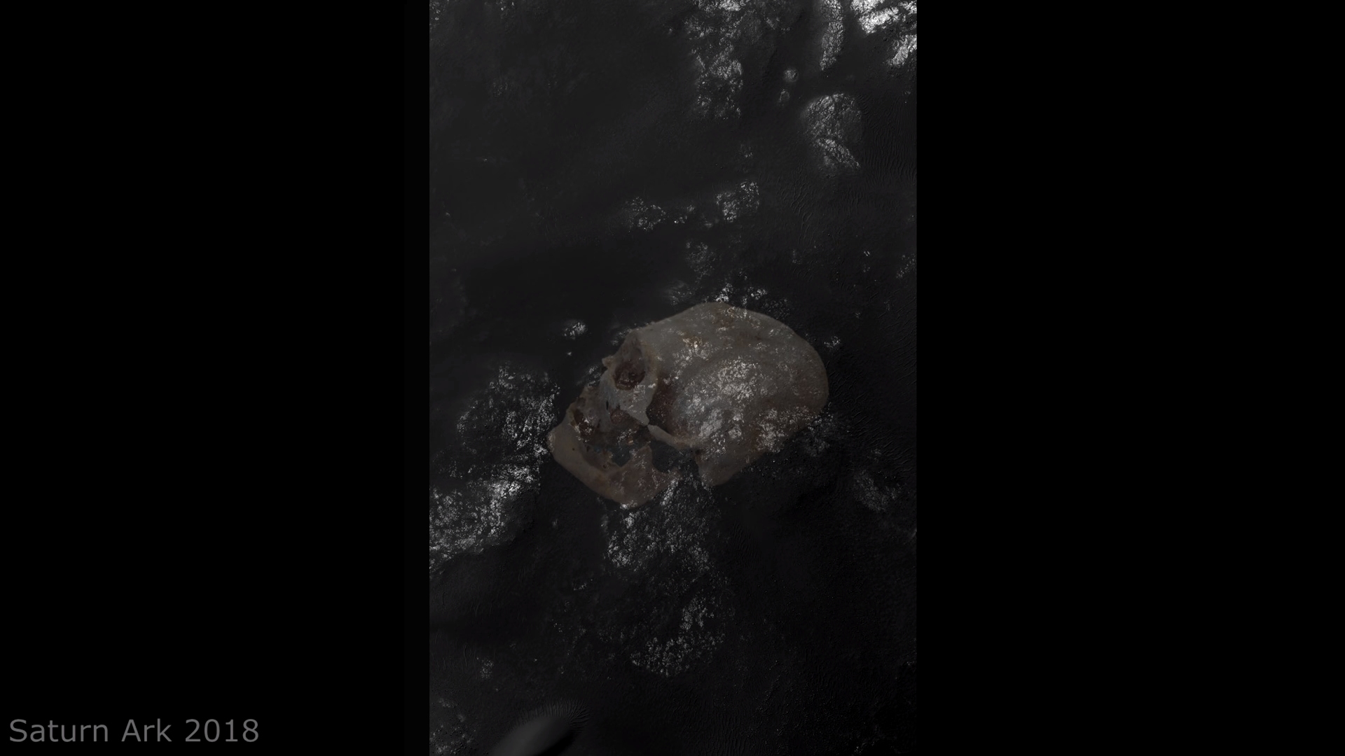
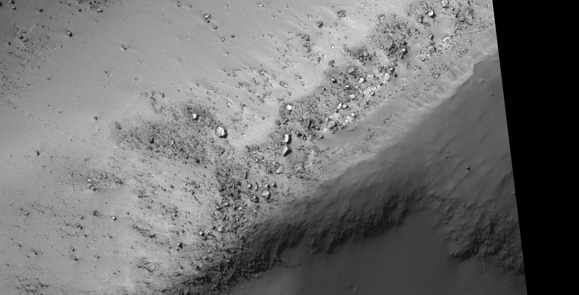
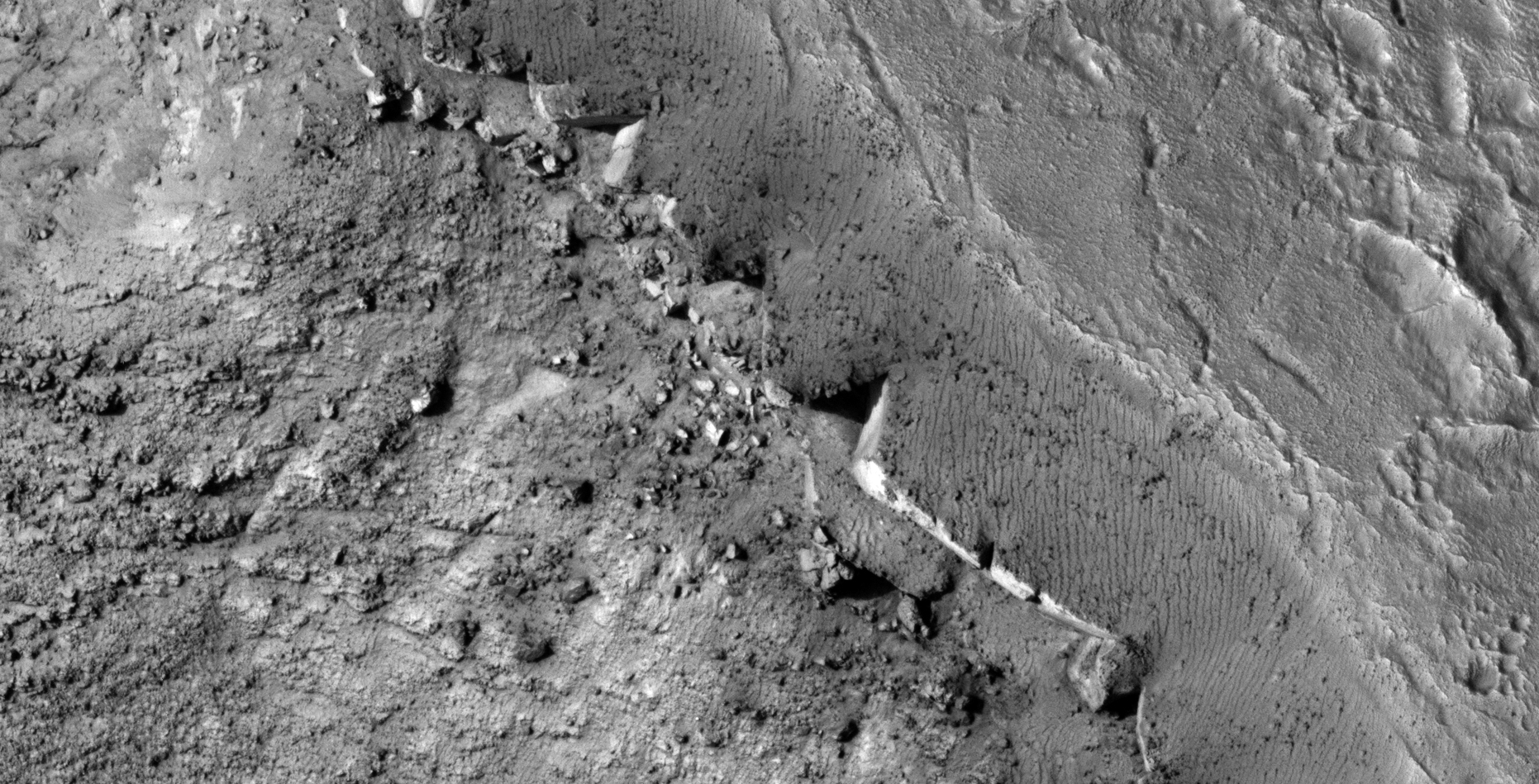
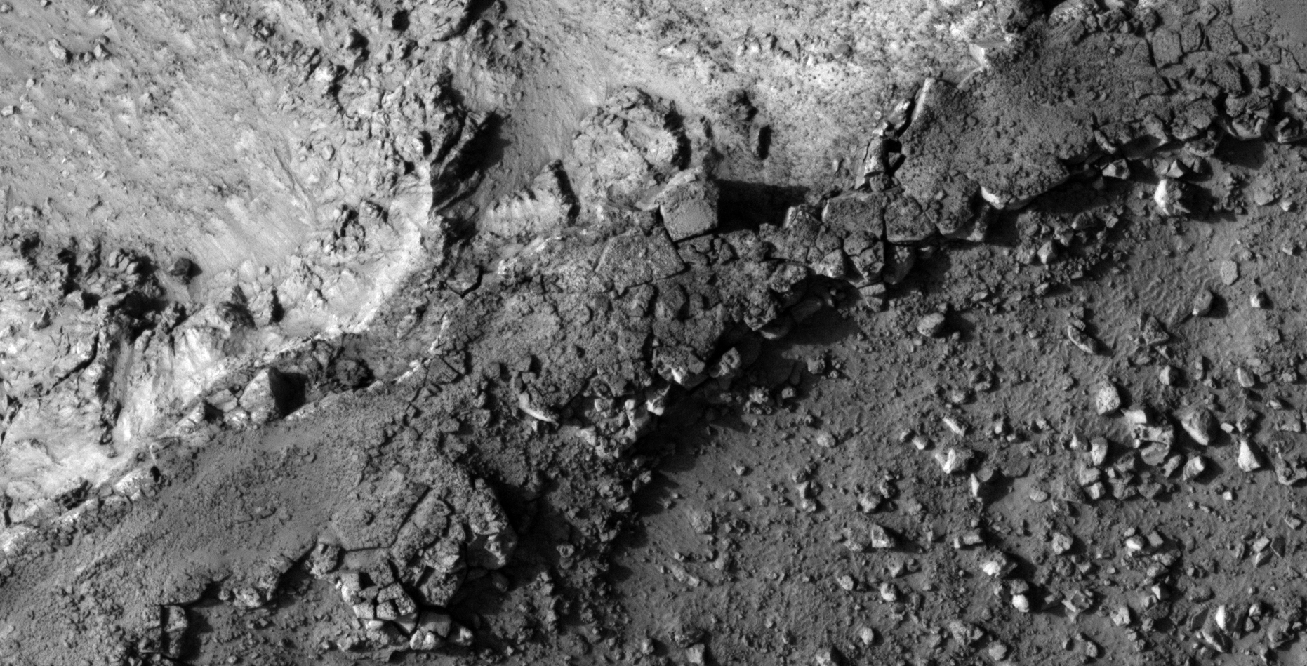
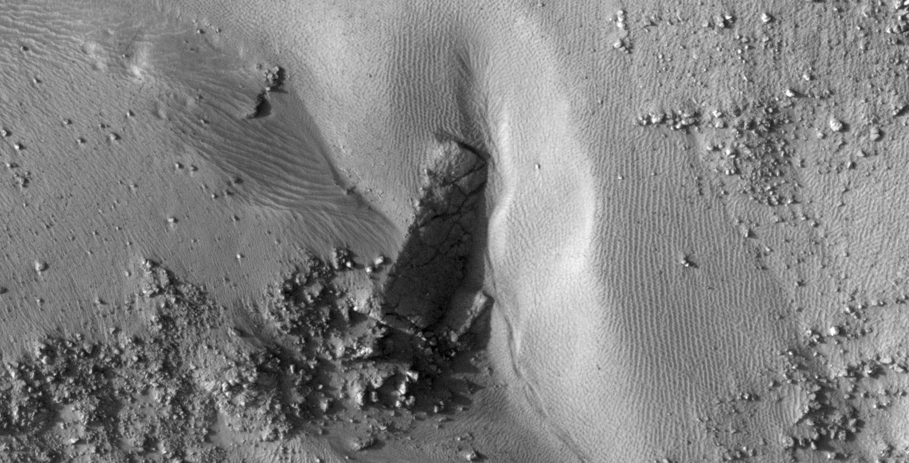
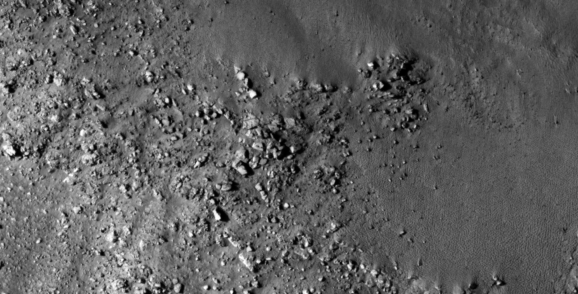
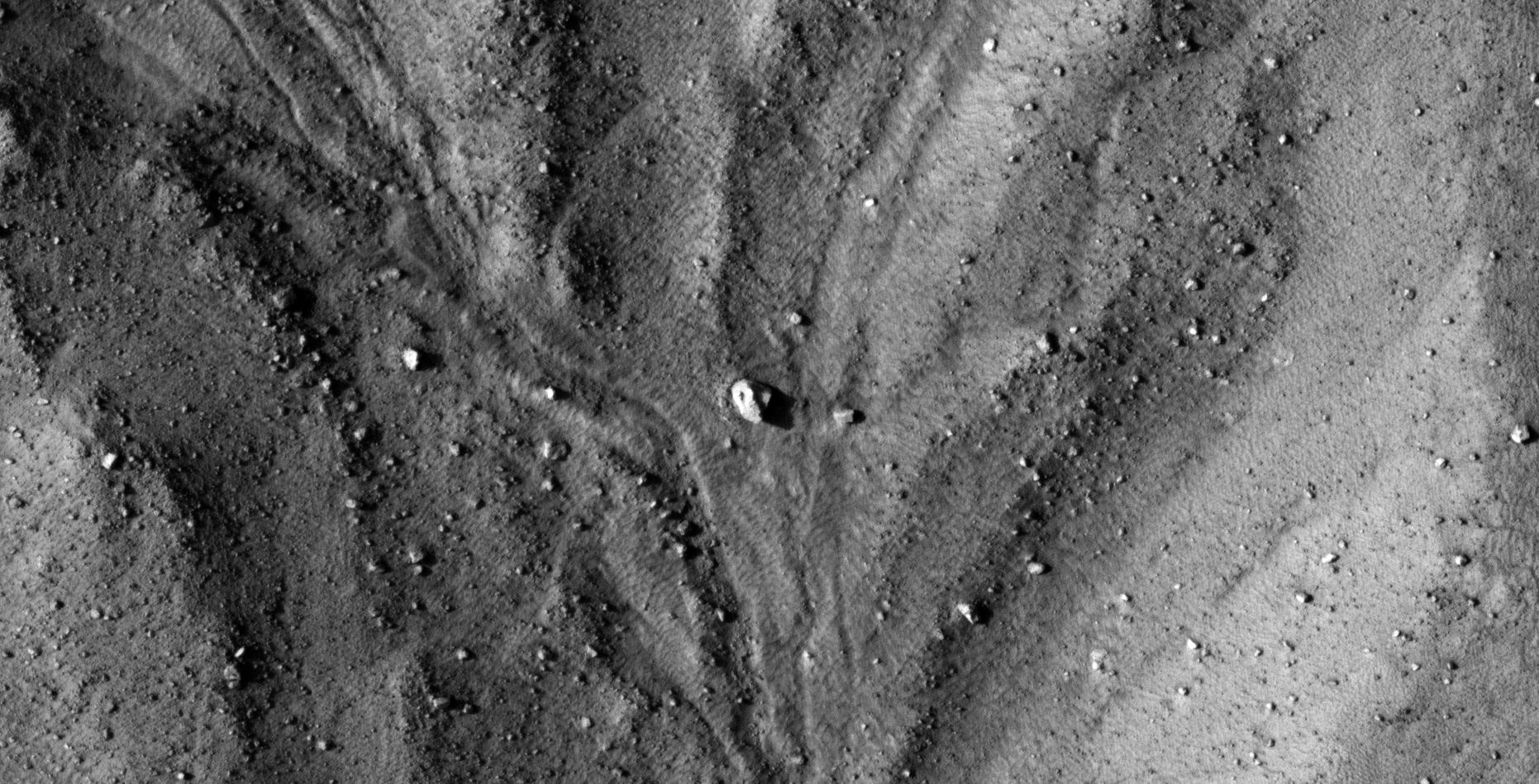
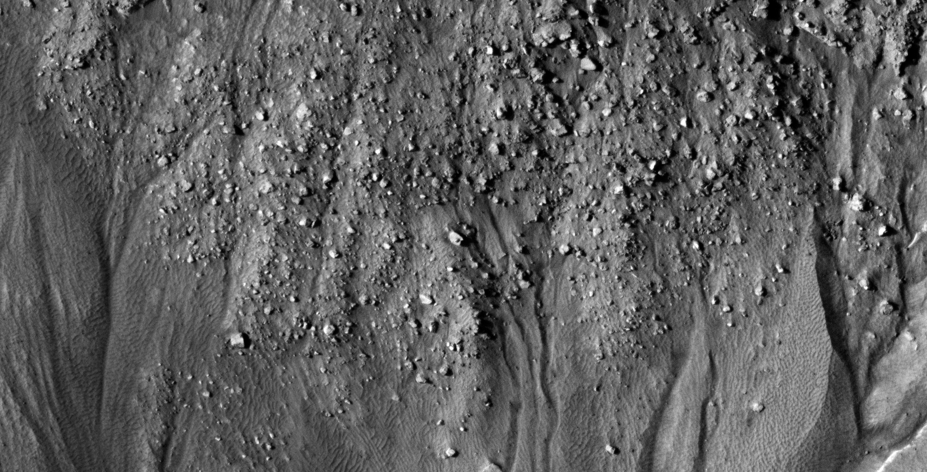
The photograph analyzed here (ESP_013268_1330) was taken by NASA’s Mars Reconnaissance Orbiter on 26 May 2009 and is described as ‘Central Pit Gullies in Asimov Crater.’
Another Saturn Ark RaptorZone collaboration.
The anomalies featured originally discovered by my friend, Saturn Ark, are revisited and presented here in colour (obtained from the Merged RGB non-map projected file).
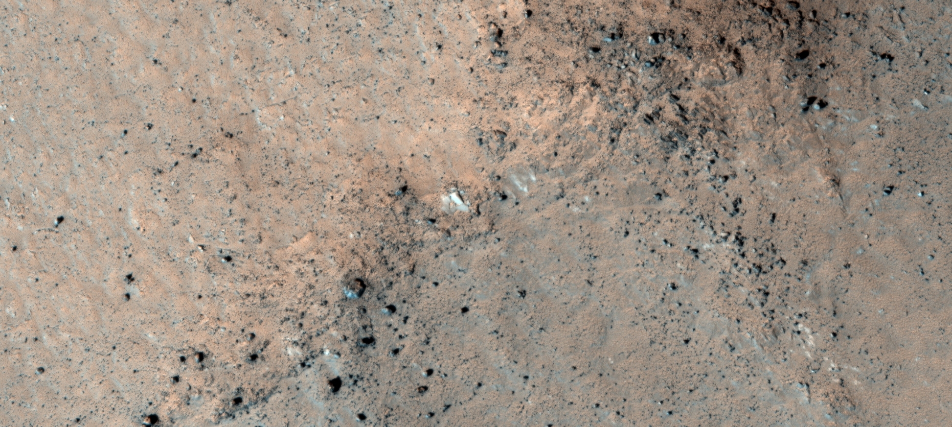
The anomalies/artefacts appear megalithic in nature ranging from blocks, pillars to slabs/tiles and the surface of some seem to be partially covered in white plaster-like material. Some blocks have perfectly straight edges and sharp 90 degree corners. A few blocks seem to have knobs in their centers.
There might even be traces of some type of wreckage.
An elevated view of this site being analyzed (click for larger image)An elevated view of this site being analyzed (click for larger image)Original image at 1:1 scale (click for larger image)Original image at 1:1 scale (click for larger image)Original image at 1:1 scale (click for larger image)Original image at 1:1 scale (click for larger image)Original image at 1:1 scale (click for larger image)Original image at 1:1 scale (click for larger image)Original image at 1:1 scale (click for larger image)Original image at 1:1 scale (click for larger image)Original image at 1:1 scale (click for larger image)Original image at 1:1 scale (click for larger image)Original image at 1:1 scale (click for larger image)Original image at 1:1 scale (click for larger image)Original image at 1:1 scale (click for larger image)Original image at 1:1 scale (click for larger image)Original image at 1:1 scale (click for larger image)Original image at 1:1 scale (click for larger image)Original image at 1:1 scale (click for larger image)Original image at 1:1 scale (click for larger image)Original image at 1:1 scale (click for larger image)Original image at 1:1 scale (click for larger image)Original image at 1:1 scale (click for larger image)Original image at 1:1 scale (click for larger image)Original image at 1:1 scale (click for larger image)Original image at 1:1 scale (click for larger image)Original image at 1:1 scale (click for larger image)Original image at 1:1 scale (click for larger image)
Images saved from within HiView or CTX viewer do not include image scale indicators. The image scale indicators I include in images are based on the official resolutions provided by NASA and although I strive to be as accurate as possible there may be slight deviations from the actual scale. Image scale indicators are included as a size approximation tool only.
Geometry lines are mapped as accurately as possible using the limited information, data and mapping tools available at the time, therefore the lines may deviate from target sites by a few kilometres. Revisions may be made in the future as new, more precise information, data and mapping tools become available.
Many or all of the anomalies/artefacts covered in this presentation may be naturally occurring geological features caused by some type of geological processes, however due to the lack of specific information from the source we can only speculate whether these are all natural or some artificial in nature.
In cases where I say an anomaly looks like something I’m attempting to clarify what I see and not specifically that the anomaly is what I say it looks like.
My intention is only to share anomalies I’ve discovered on Mars and not to convince anyone that there is or was a civilization on Mars.
As Will Farrar from WhatsUpInTheSky says: “I see what I see, you see what you see.”
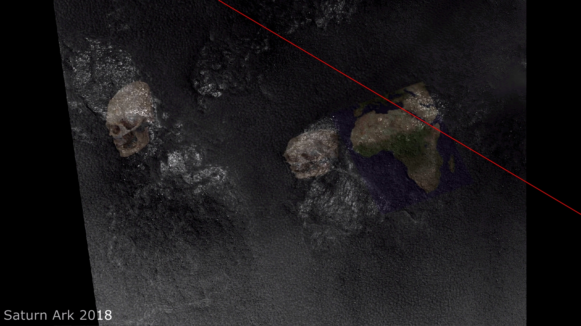
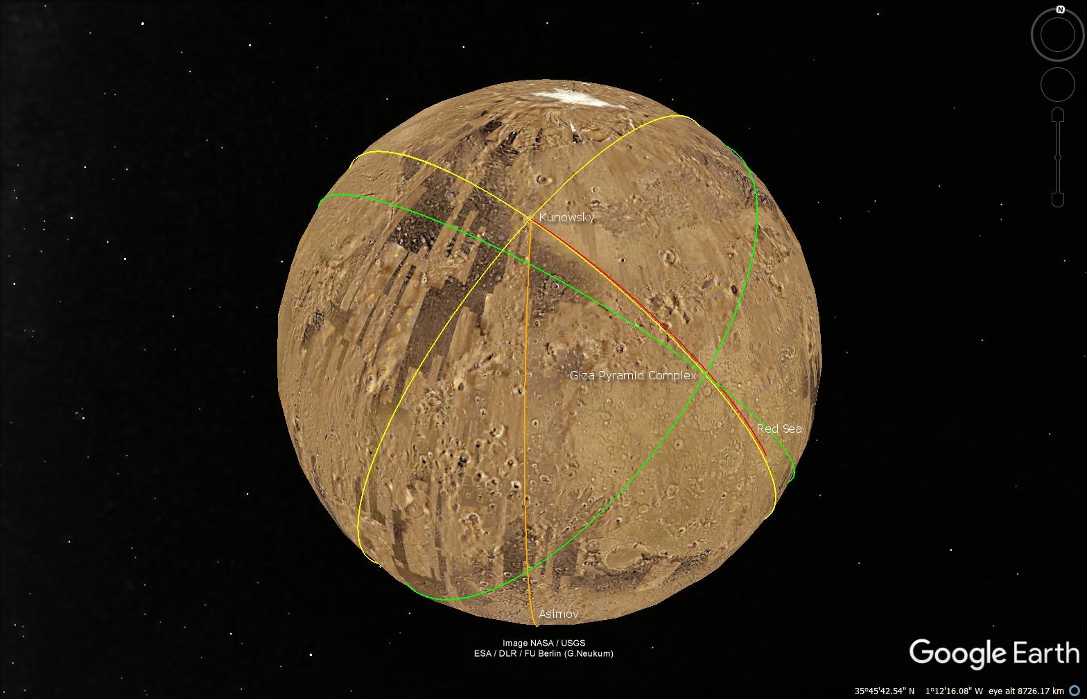
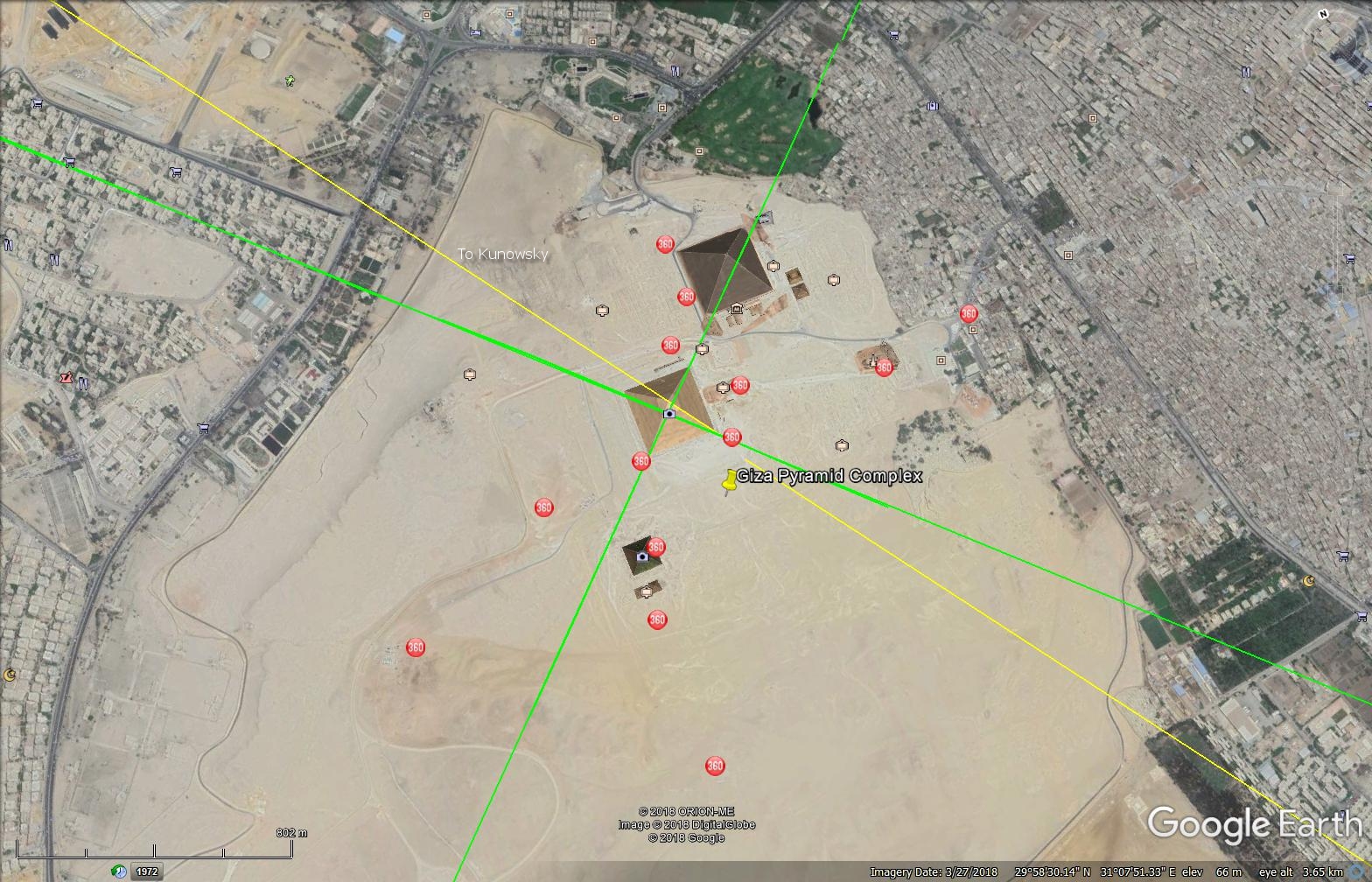
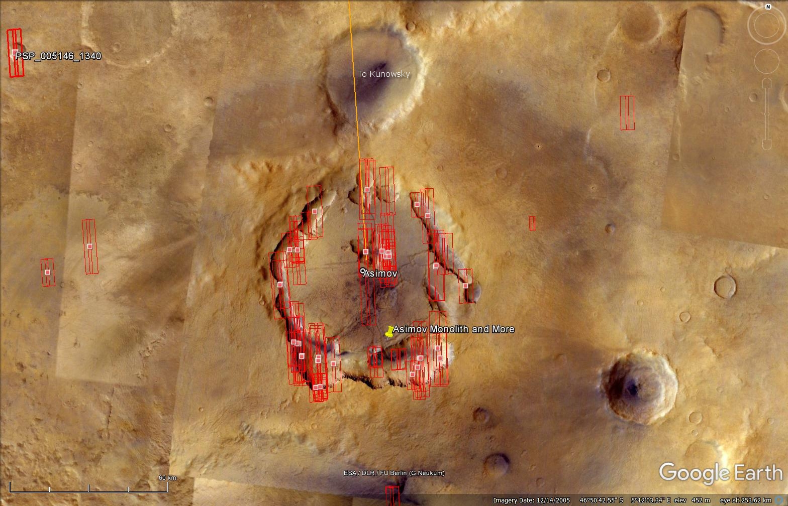
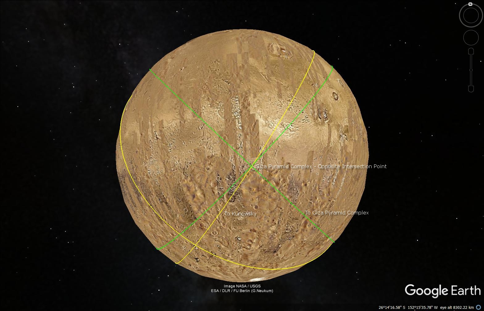
This is a collaborative work between my friend, Saturn Ark and myself in which evidence supporting a possible ancient link between Kunowsky on Mars and the Giza Pyramid Complex on Earth is presented.
Following eight years of research, my friend discovered why the Artwork is upside down. The Artwork needed to be rotated approximately 98 degrees to show that geometry lines extended out of Kunowsky on Mars correspond or map to the Giza Pyramid Complex in Cairo as well as aligns with the Red Sea on Earth.
The Kunowsky geometry lines extend out of three points on Mars:
Firstly the semi-buried, mostly eroded pyramid which links up with the Giza Pyramid Complex on Earth;
Secondly the Red Sea next to the African Continent in the Martian surface Artwork which links up with the Red Sea on Earth, and;
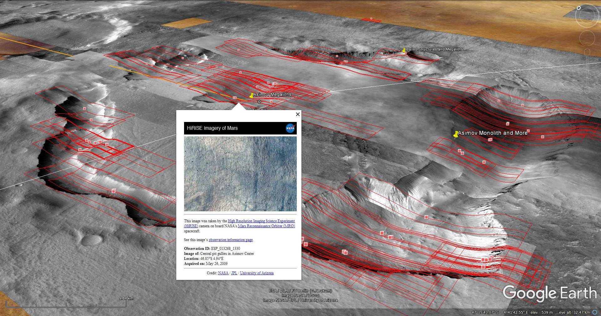
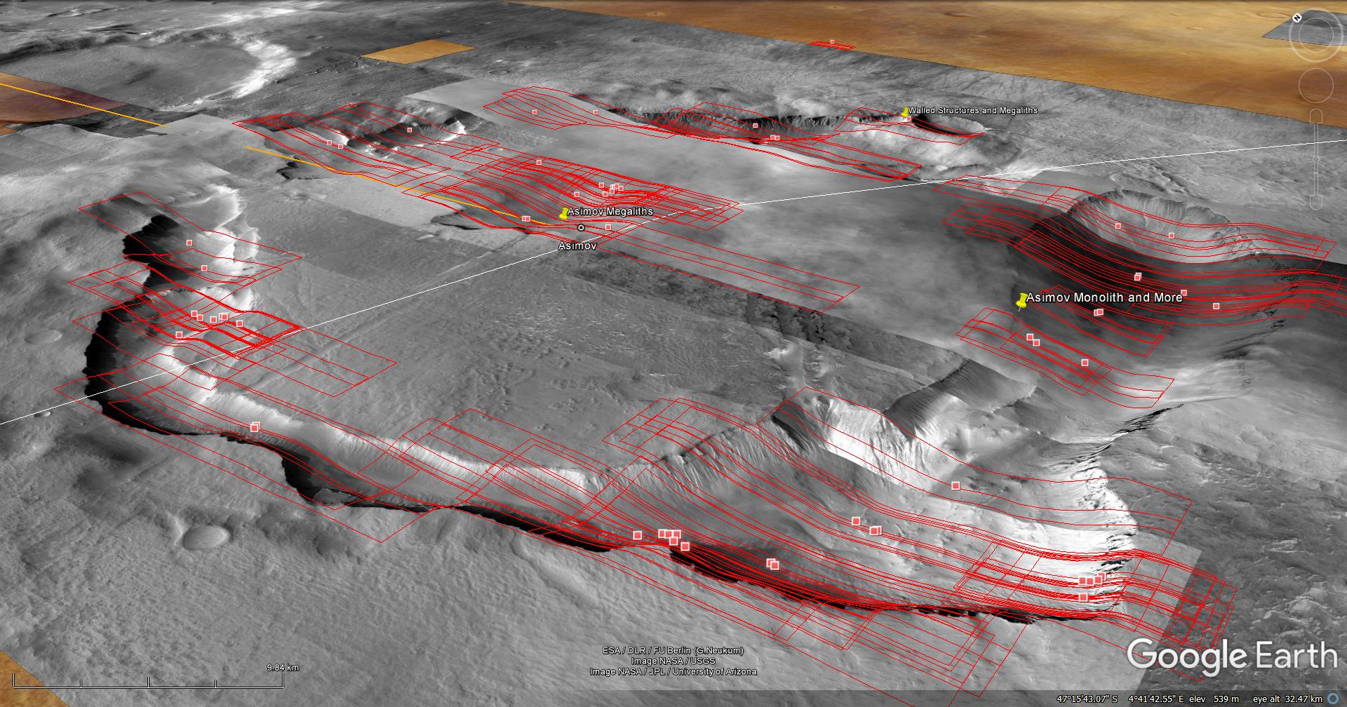
Thirdly the ‘Jackal’ links up with the center of the Asimov Ruins. A giant Monolith lying against a cliff face is located approximately 30 km’s to the south-east of these ruins.
The Kunowsky Pyramid and Martian surface Artwork are visible in two HiRISE photographs (PSP_006860_2370 and ESP_016314_2370) which were taken by NASA’s Mars Reconnaissance Orbiter (MRO) HiRISE Camera on 13 January 2008 and 18 January 2010 respectively. NASA describes the photographs as “Possible Olivine in Crater” and “Kunowsky Crater Central Peak” respectively.
The Kunowsky Pyramid and Martian surface Artwork – Elevation view (click for larger image)
The Kunowsky Pyramid and Arch:
The HiRISE photograph (ESP_016314_2370) shows what looks like a toppled arch-type structure on top of the pyramid and layers consisting of rectangular slabs/tiles covering the main pyramidal structure.
Kunowsky Arch (click for larger image)Kunowsky Pyramid – Layers consisting of rectangular slabs/tiles covering the main pyramidal structure (click for larger image)Kunowsky Pyramid – Layers consisting of rectangular slabs/tiles covering the main pyramidal structure (click for larger image)Kunowsky Pyramid – Layers consisting of rectangular slabs/tiles covering the main pyramidal structure (click for larger image)
Shown here are some of the other anomalies found on or in the vicinity of the Pyramid:
Rectangular block with row of smaller, uniform blocks equally spaced (click for larger image)Circular object with triangular feature on the side and two rectangular objects on either side (click for larger image)‘Skirt-type base’ and smaller oblong dome object on top (click for larger image)
The Kunowsky Martian surface Artwork:
The HiRISE photograph (PSP_006860_2370) shows what looks like Martian surface Artwork – raw and rotated to fit the screen:
Kunowsky Martian surface artwork – Raw (click for larger image)
The Kunowsky Martian surface Artwork appears to depict the following (the image overlays are intended for the purpose of assisting with the identification of the items contained within the Artwork):
Brain overlayed and corrected orientation with Artwork (click for larger image)‘Jackal’ overlayed with brain and snake head (click for larger image)Overlay of Jackal and Snake head (click for larger image)Humanoid face to left of Jackal (click for larger image)Eagle wings (click for larger image)African continent with Egypt located to the top right showing Red Sea geometry line (click for larger image)Skull (click for larger image)The Giza site in Egypt shows the scale of the Martian surface artwork (click for larger image)Kunowsky-Asimov (Yellow) and Kunowsky-Red Sea (Red) geometry lines – Original rotation (click for larger image)Kunowsky-Asimov (Yellow) and Kunowsky-Red Sea (Red) geometry lines – Rotated (click for larger image)
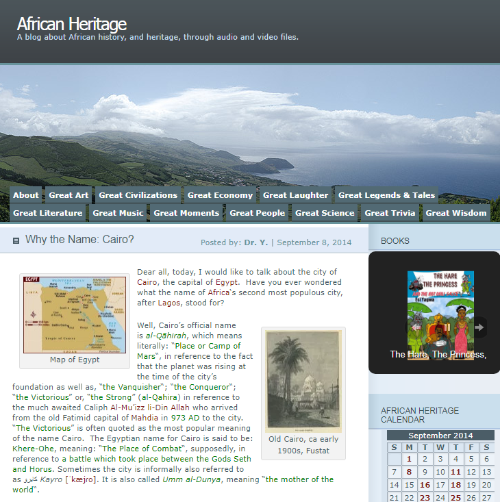
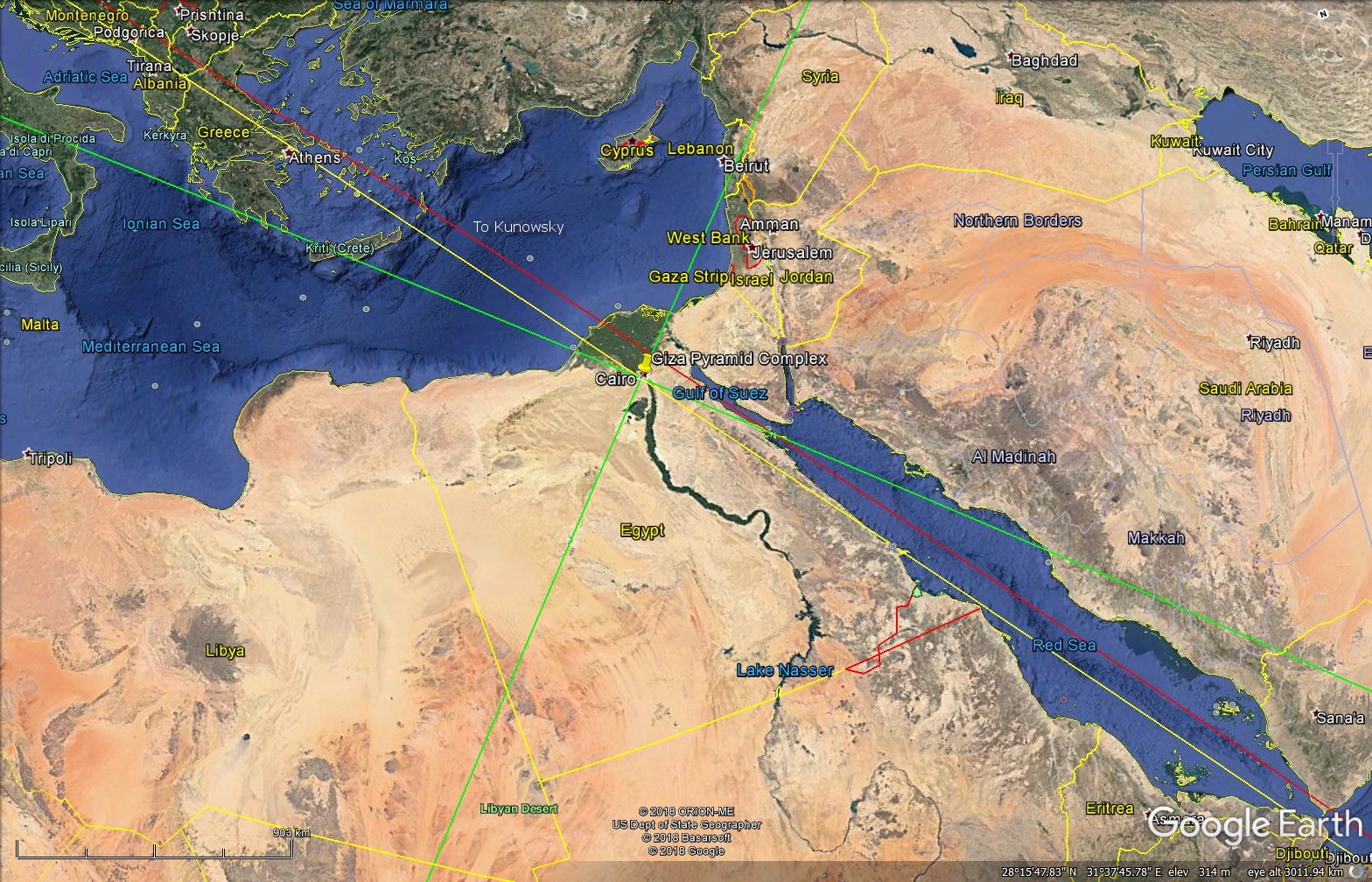
The name Cairo, according to ‘African Heritage,’ means ‘Place or Camp of Mars.’
Cairo meaning: ‘Place or Camp of Mars.’ Courtesy of African Heritage: ‘Why the name Cairo?’ https://afrolegends.com/2014/09/08/why-the-name-cairo/
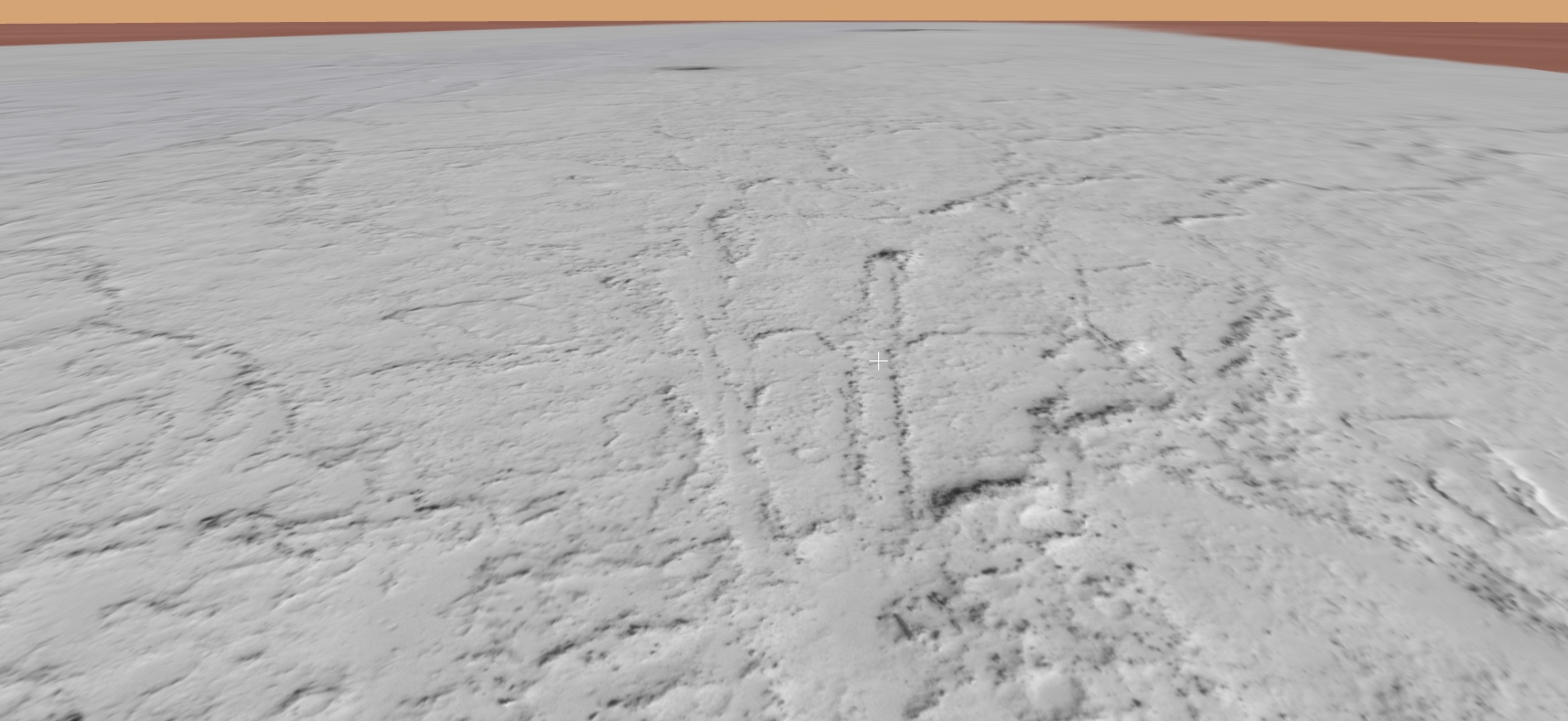
When toggling between Google Earth Mars and Google Earth you will notice that the geometry lines line up perfectly.
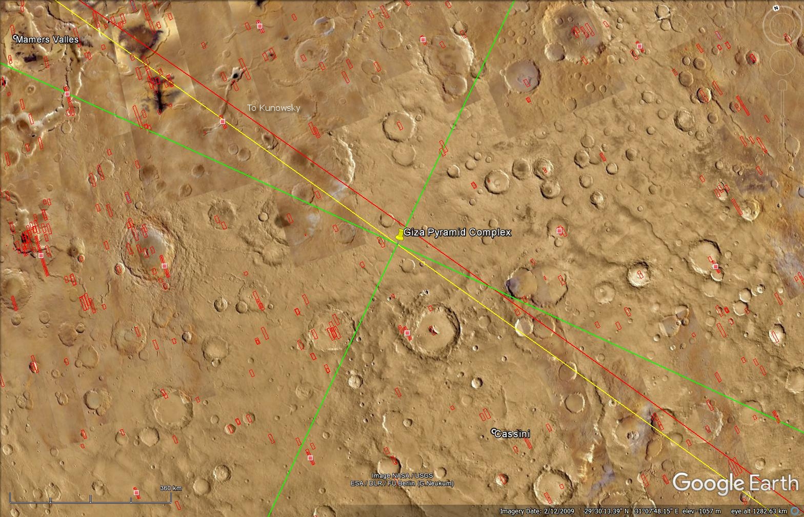
Geometry Lines from Google Earth Mars:
Geometry Lines from Google Earth Mars – Kunowsky and Giza Pyramid Complex (click for larger image)Geometry Lines from Google Earth Mars – Kunowsky (click for larger image)Geometry Lines from Google Earth Mars – Giza Pyramid Complex (Mars) (click for larger image)Geometry Lines from Google Earth Mars – Giza Pyramid Complex (Earth) (click for larger image)Geometry Lines from Google Earth Mars – Giza Pyramid Complex (Earth) (click for larger image)Geometry Lines from Google Earth Mars – Asimov (click for larger image)Geometry Lines from Google Earth Mars – Giza Pyramid Complex – Opposite intersection point (click for larger image)Geometry Lines from Google Earth Mars – Giza Pyramid Complex – Opposite intersection point (click for larger image)
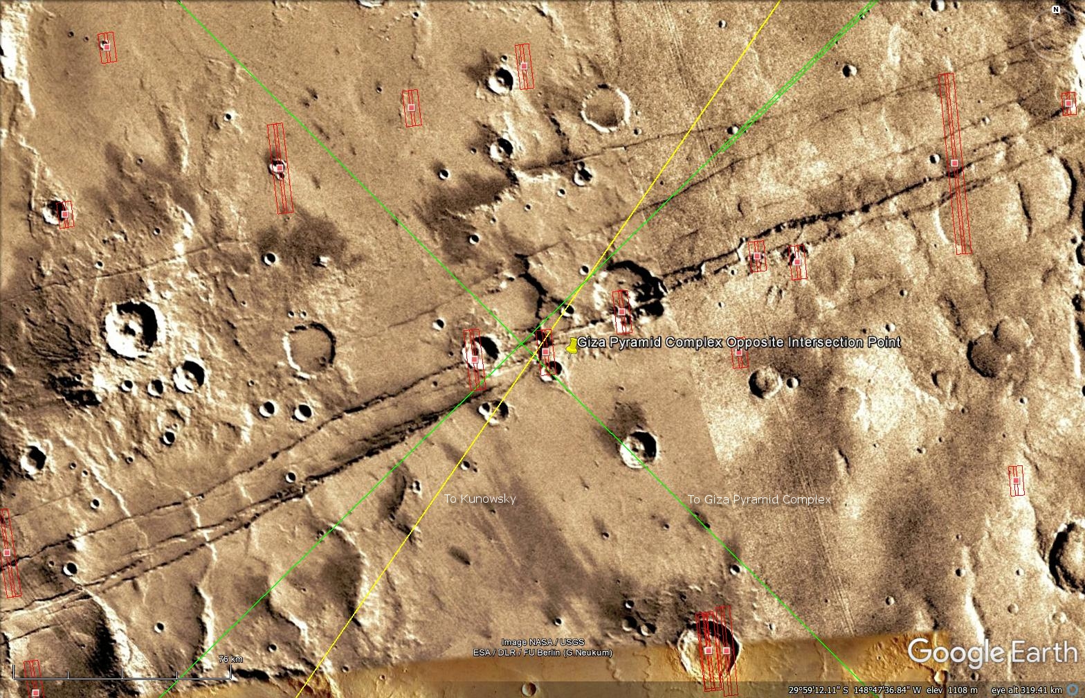
Giza Pyramid Complex – Opposite intersection point:
The point on the opposite side of Mars at which the Giza Pyramid Complex geometry lines intersect (ESP_016623_1495), which NASA calls ‘Intersecting Graben,’ shows a strange area in which there is what appears to be a triangular-shaped ‘craft,’ some wreckage and megalithic blocks.
I find it rather interesting that NASA calls this photograph ‘Intersecting Graben,’ i.e. the intersection point of the Giza Pyramid Complex geometric lines also intersect at this particular location, co-incidence?
Giza Pyramid Complex – Opposite intersection point – Triangular-shaped ‘craft’ and wreckage (click for larger image)Giza Pyramid Complex – Opposite intersection point – Megalithic Block (click for larger image)Giza Pyramid Complex – Opposite intersection point – Wreckage (click for larger image)
The Giant Asimov Monolith and Ruins:
The geometry line extending out towards Asimov links up with the center of the Asimov Ruins (PSP_003880_1325), shown here are a few of the megalithic blocks found in the area:
Top Wall – Zoomed in (click for larger image)Bottom Wall – Left Section Zoomed In (click for larger image)Rectangular Megalith or Arch with three flat straight sides 20 metres tall and 8 metres wide, a smaller rectangular part to the middle right (click for larger image)Rectangular megalith with flat straight sides 10 metres by 8 metres, a small square has been cut into the bottom right corner (click for larger image)Rectangular megalith with flat straight sides 8 metres by 8 metres (click for larger image)Rectangular megalith with two flat straight sides 18 metres by 12 metres, a hole seems to be cut into one corner, the right part seems to be covered in a white, reflective material (click for larger image)
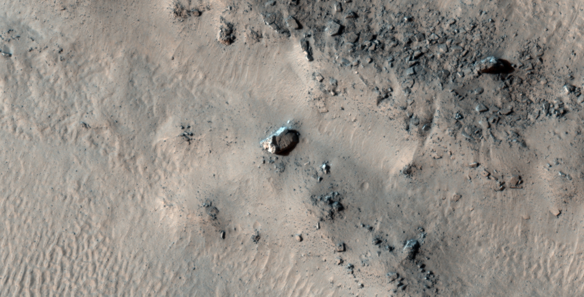
A giant Monolith lying against a cliff face is located approximately 30 km’s to the south-east of these ruins (ESP_012411_1320). The Monolith dimensions are in the ratio of 1 : 4 : 9 (the squares of the first three positive integers, i.e. 1² : 2² : 3²) and measures approximately 33 metres by 75 metres, which yields an aspect ratio of 2.27 whereas the aspect ratio of Clarke’s Monoliths are 2.25 (9 divided by 4). The exact measurements are difficult to obtain as the Monolith is damaged and somewhat buried.
The Giant Asimov Monolith (click for larger image)
Shown here are some of the megalithic blocks with knobs found near the Giant Monolith:
Megalithic block with knobs (click for larger image)Megalithic block with knob (click for larger image)Megalithic block with knob (click for larger image)
Disclaimer:
The geometry lines were mapped as accurately as possible using the limited information, data and mapping tools available at the time, therefore the lines may deviate from target sites by a few kilometers. Revisions may be made in the future as new, more precise information, data and mapping tools become available.
Images saved from within HiView or CTX viewer do not include image scale indicators. The image scale indicators I include in images are based on the official resolutions provided by NASA and although I strive to be as accurate as possible there may be slight deviations from the actual scale. Image scale indicators are included as a size approximation tool only.
Geometry lines are mapped as accurately as possible using the limited information, data and mapping tools available at the time, therefore the lines may deviate from target sites by a few kilometres. Revisions may be made in the future as new, more precise information, data and mapping tools become available.
Many or all of the anomalies/artefacts covered in this presentation may be naturally occurring geological features caused by some type of geological processes, however due to the lack of specific information from the source we can only speculate whether these are all natural or some artificial in nature.
In cases where I say an anomaly looks like something I’m attempting to clarify what I see and not specifically that the anomaly is what I say it looks like.
My intention is only to share anomalies I’ve discovered on Mars and not to convince anyone that there is or was a civilization on Mars.
As Will Farrar from WhatsUpInTheSky says: “I see what I see, you see what you see.”
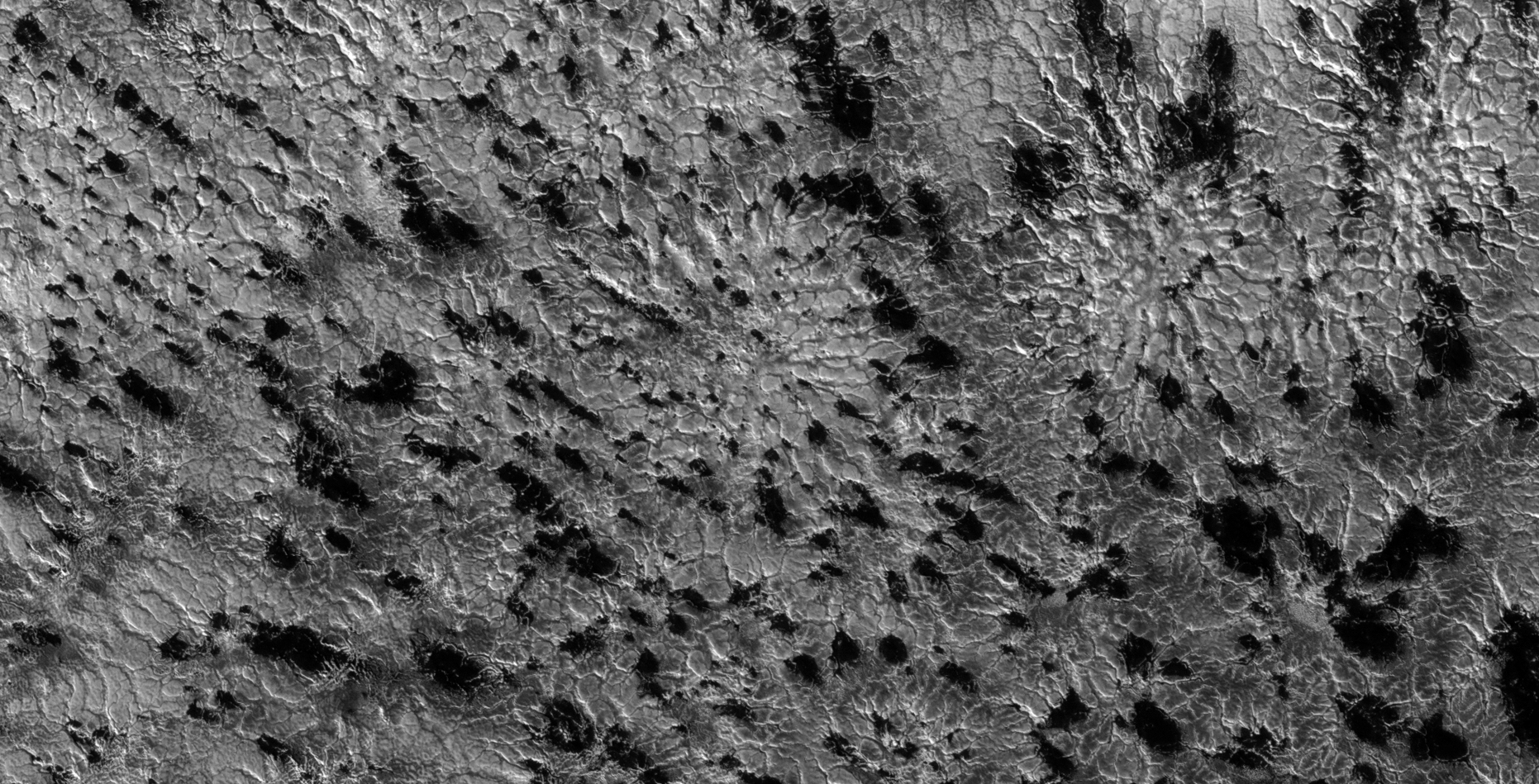
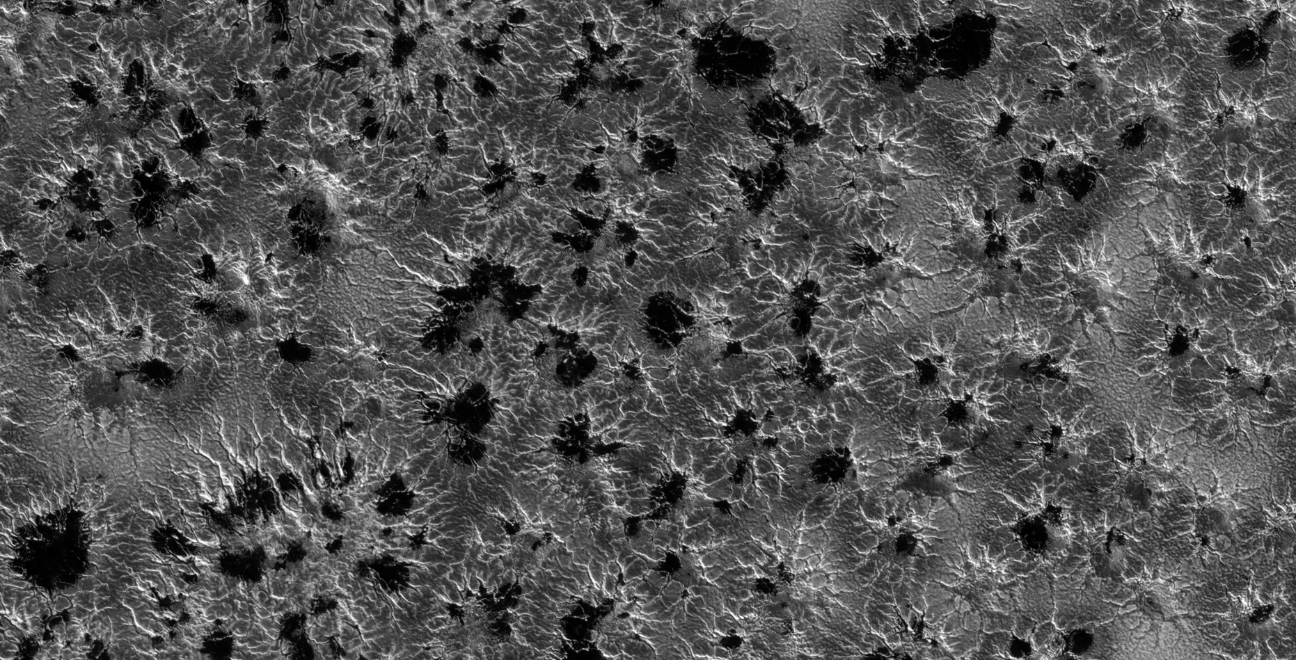
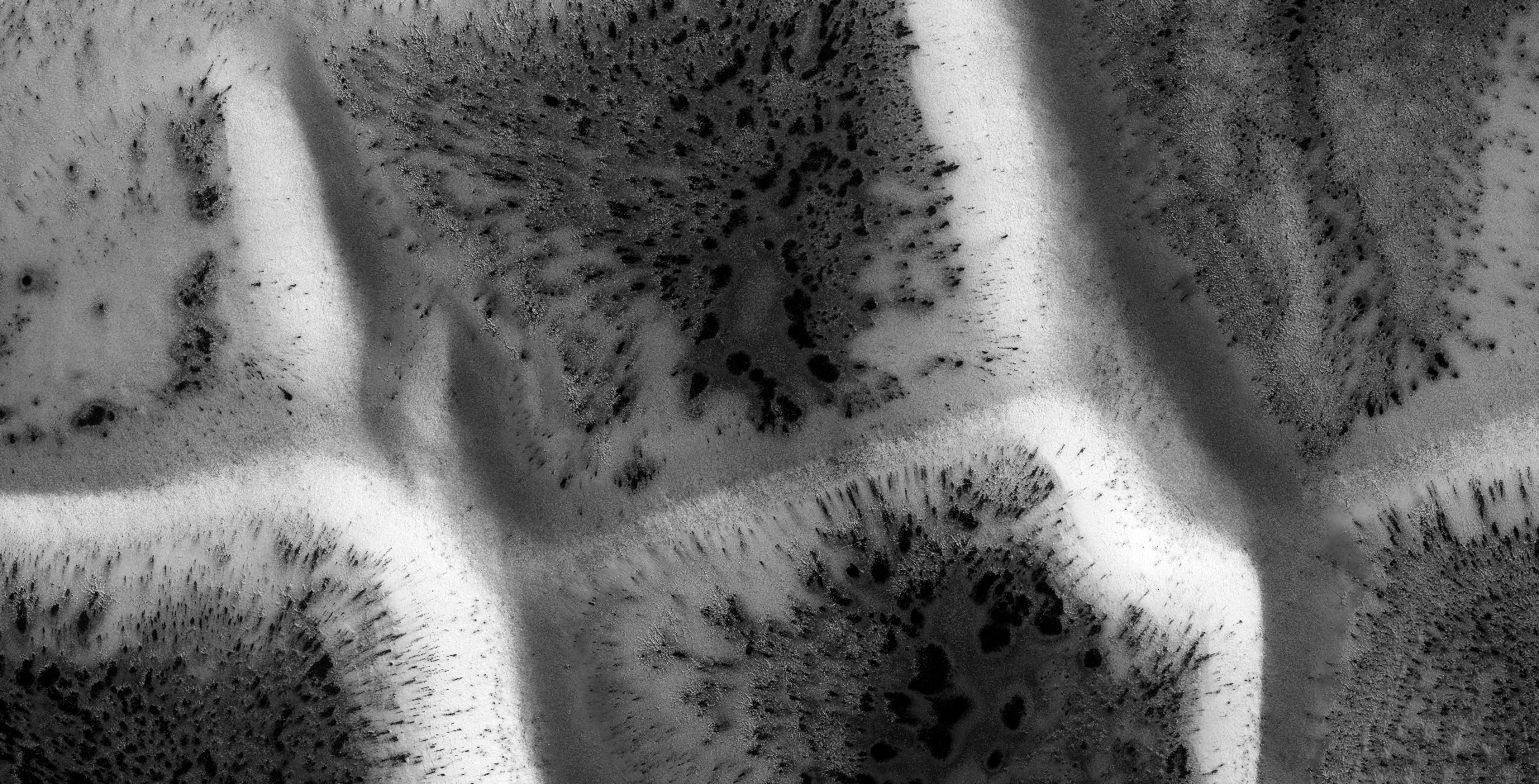
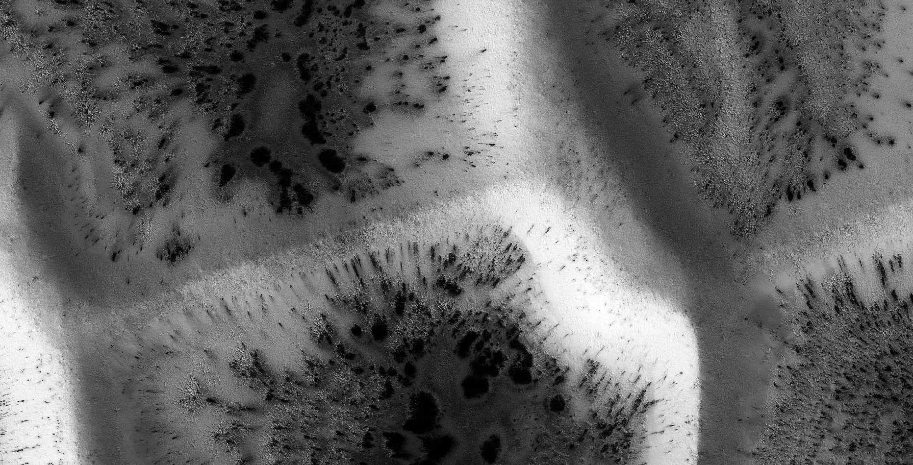
This is a collaborative work between Saturn Ark and RaptorZone in which more anomalies and artefacts are presented.
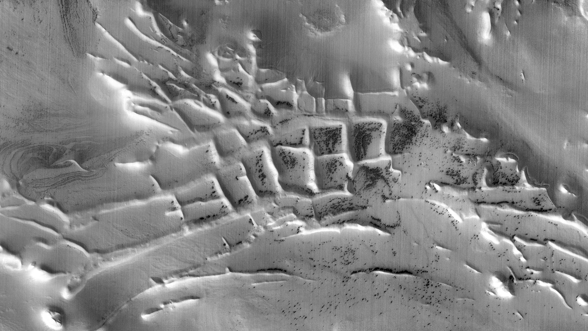
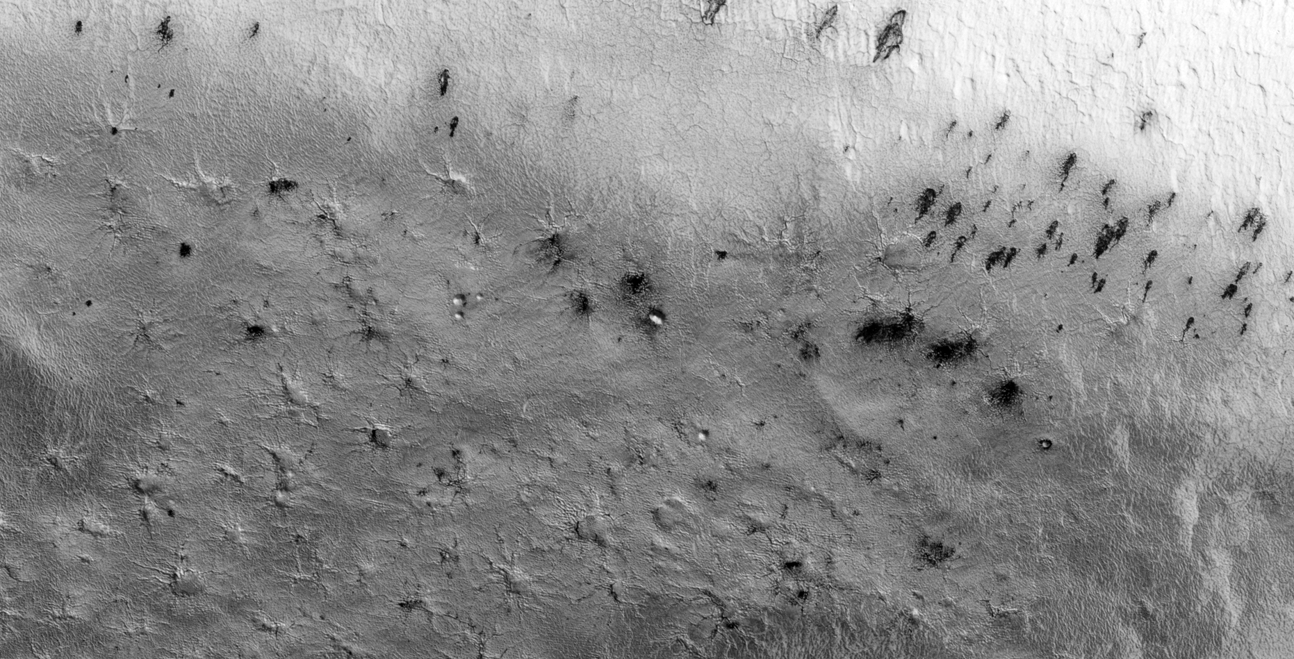
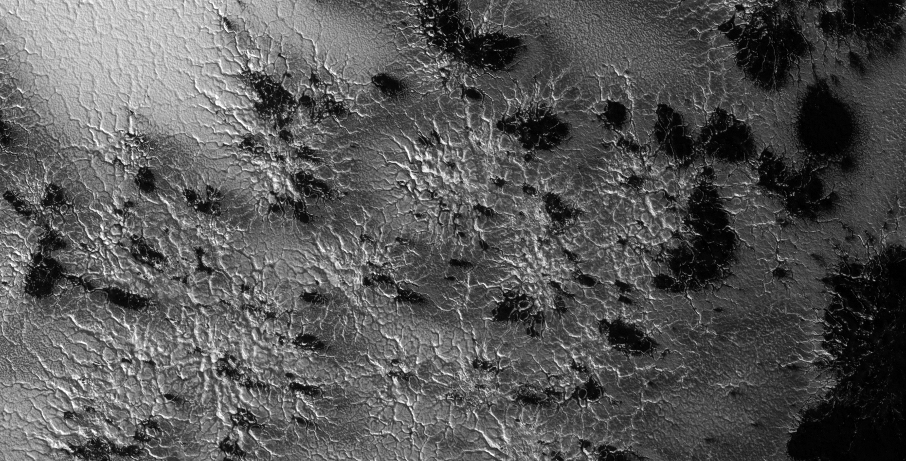
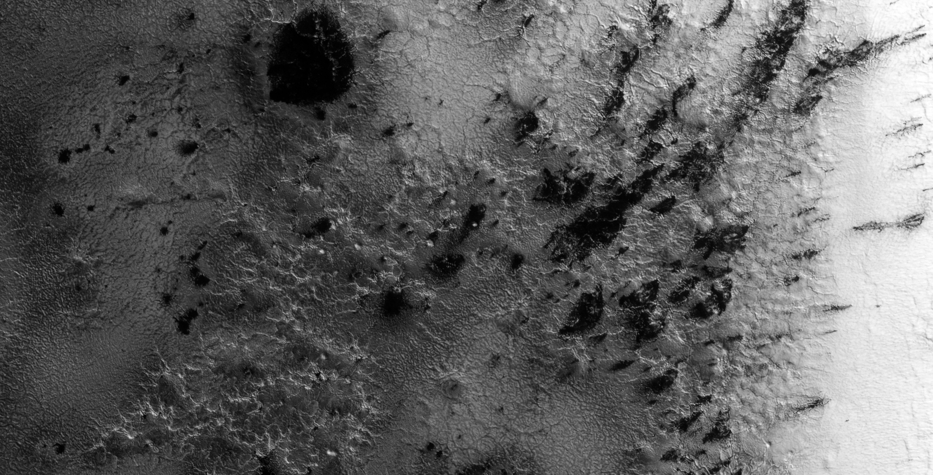
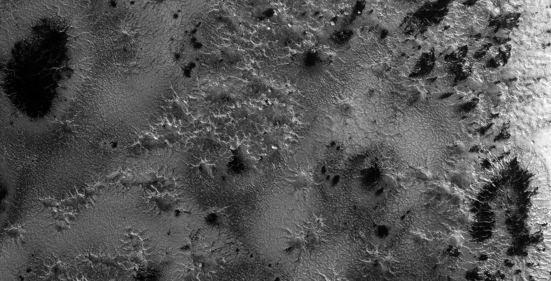
The photographs analyzed here (D04_028911_0985_XN_81S064W and ESP_021526_0985) were taken by NASA’s Mars Reconnaissance Orbiter (MRO) CTX and HiRISE Cameras on 26 September 2012 and 28 February 2011 respectively. NASA describes the photographs as “Ride-along with HiRISE” and “Monitoring Defrosting Patterns on Inca City Ridges” respectively.
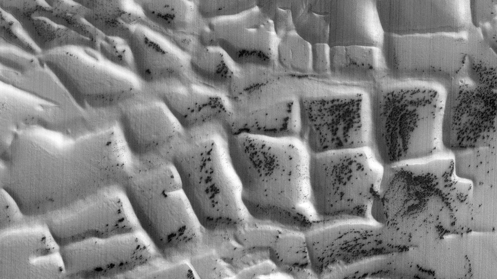
Discovered recently, this really interesting area located near the South Pole of Mars in an area called Angustus Labyrinthus, seems to show what looks like rectangular walled structures and/or perhaps some type of large-scale farming of some kind.
Ancient ruins, retaining walls or possible farming activity on Mars (D04_028911_0985_XN_81S064W) (click for larger image)
The walls, approximately 100 m thick, form square shapes with very straight sides measuring 3 km in length; highly unusual thus the speculation that these may be artificial and may be evidence of intelligent design. Furthermore we can only speculate whether these are ancient or modern structures as they are partially covered.
Could these be remnants of an ancient structure/building, retaining walls used in some kind of large scale farming? The walled off area’s remind me of rice fields/farming as found here on Earth.
Rice fields/farming in Thailand
Taking a look at this area in Google Earth Mars shows NASA photographed this specific feature many times. What were they looking for? Just monitoring the dark spots to see who they change over time, after all NASA does describe the HiRISE photograph analysed here as “… Inca City Ridges.”
Image rotated 130 degrees clockwise (D04_028911_0985_XN_81S064W) (click for larger image)Image rotated 130 degrees clockwise and zoomed-in (D04_028911_0985_XN_81S064W) (click for larger image)
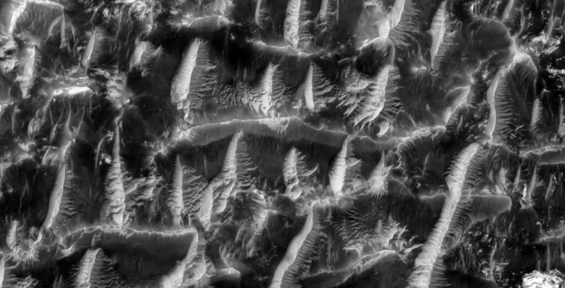
This anomaly also reminds me of similar geometrically-shaped ‘dunes’ I found in another area of Mars in an area called Schiaparelli approximately 5100 km away:
Strange geometrically-shaped ‘dunes’ (PSP_006754_1790) (click for larger image)
Also, I previously featured what NASA calls an ‘Inca City’ on Mars showing what looks like structures and terraces buried in sand located approximately 13 km to the North-West:
NASA calls this an ‘Inca City’ on Mars: ‘Cross’ (PSP_006204_0985) (click for larger image)
High-Resolution Images:
The following images were cropped from the HiRISE JP2 (ESP_021526_0985):
Small disc-shaped object with smaller dome in the center (click for larger image)Cluster of small ‘Spiders’ and what looks like darker moss-type material (click for larger image)Cluster of medium-sized ‘Spiders’ and what looks like darker moss-type material (click for larger image)Cluster of small ‘Spiders’ and what looks like darker moss-type material (click for larger image)Cluster of small ‘Spiders’ and what looks like darker moss-type material (click for larger image)Cluster of larger ‘Spiders’ and what looks like darker moss-type material (click for larger image)Cluster of small ‘Spiders’ and what looks like darker moss-type material (click for larger image)The Inca-type wall with ‘Spiders’ and what looks like darker moss-type material (click for larger image)A closer look at the Inca-type wall with ‘Spiders’ and what looks like darker moss-type material (click for larger image)
Images saved from within HiView or CTX viewer do not include image scale indicators. The image scale indicators I include in images are based on the official resolutions provided by NASA and although I strive to be as accurate as possible there may be slight deviations from the actual scale. Image scale indicators are included as a size approximation tool only.
Ley lines are mapped as accurately as possible using the limited information, data and mapping tools available at the time, therefore the ley lines may deviate from target sites by a few kilometres. Revisions may be made in the future as new, more precise information, data and mapping tools become available.
Many or all of the anomalies/artefacts covered in this presentation may be naturally occurring geological features caused by some type of geological processes, however due to the lack of specific information from the source we can only speculate whether these are all natural or some artificial in nature.
In cases where I say an anomaly looks like something I’m attempting to clarify what I see and not specifically that the anomaly is what I say it looks like.
My intention is only to share anomalies I’ve discovered on Mars and not to convince anyone that there is or was a civilization on Mars.
As Will Farrar from WhatsUpInTheSky says: “I see what I see, you see what you see.”