

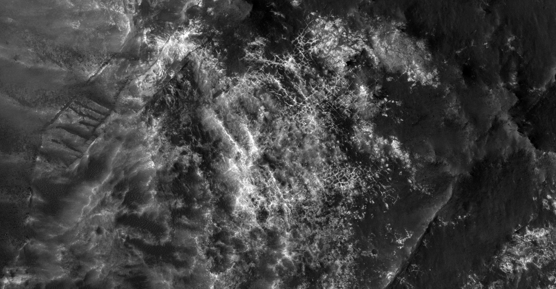
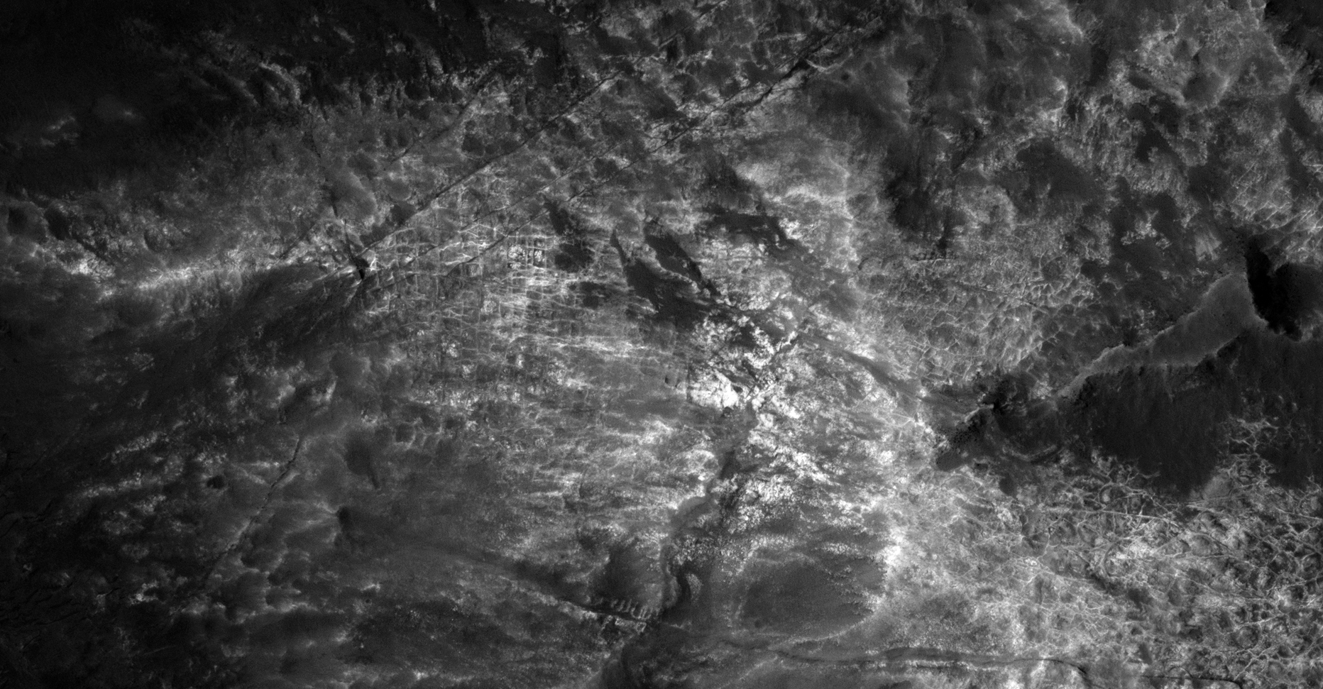
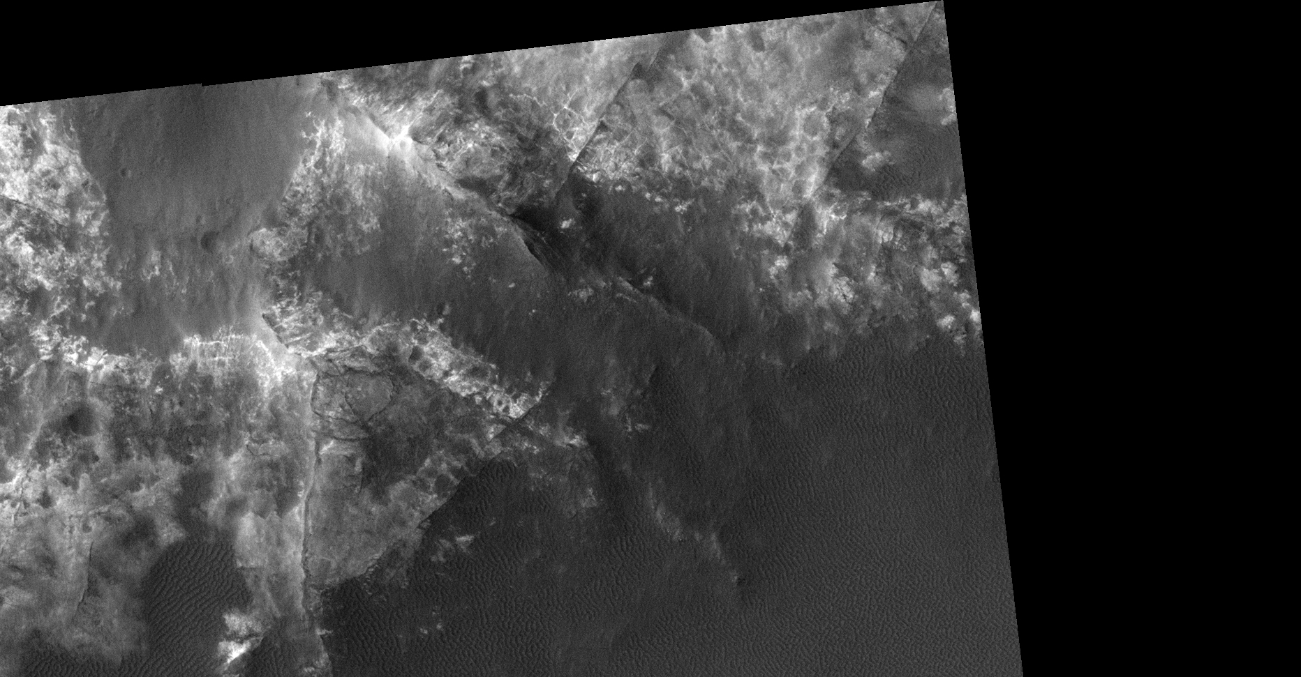
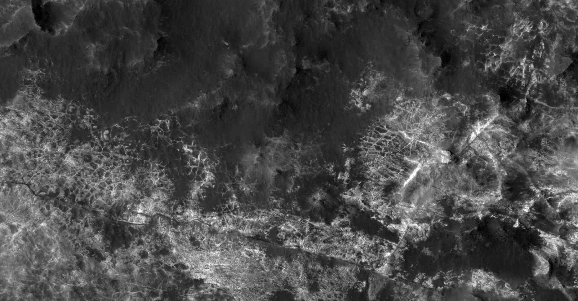
This photograph (ESP_012945_1450) was taken by NASA’s Mars Reconnaissance Orbiter (MRO) HiRISE Camera on 01 May 2009.
NASA describes this photograph as “Possible MSL Landing Site Near Atlantis Chaos.”
I discovered what looks like vast area’s of the Martian surface covered in some kind of grid-like structures. Are these pipes, walls, plant roots or wire fashioned into grid-like structures which appear to be illuminated artificially (like a city on Earth seen from space during night time)?
Seen are multiple shapes consisting of parallel lines, right angles, triangles, rectangles, squares, domes and even what looks like a pumping station and satellite dish.
Pure speculation as always, these anomalies look like something unnatural and are not specifically something unnatural.
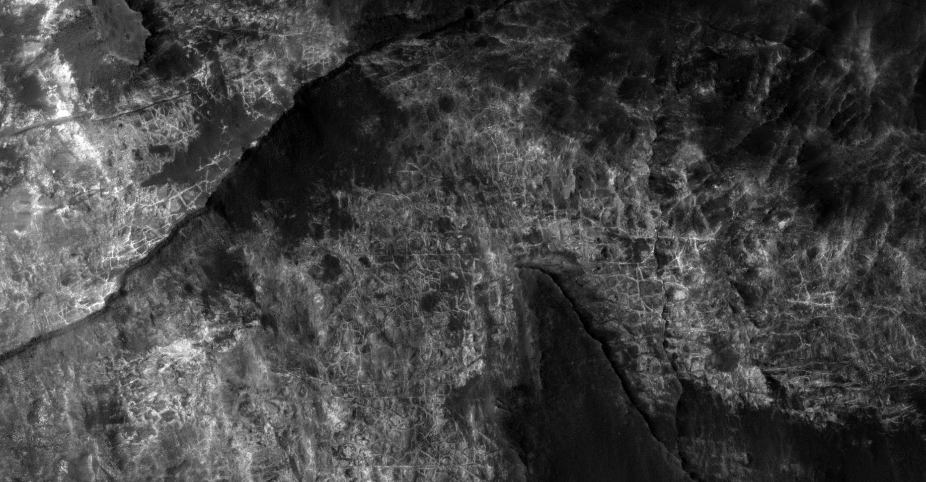
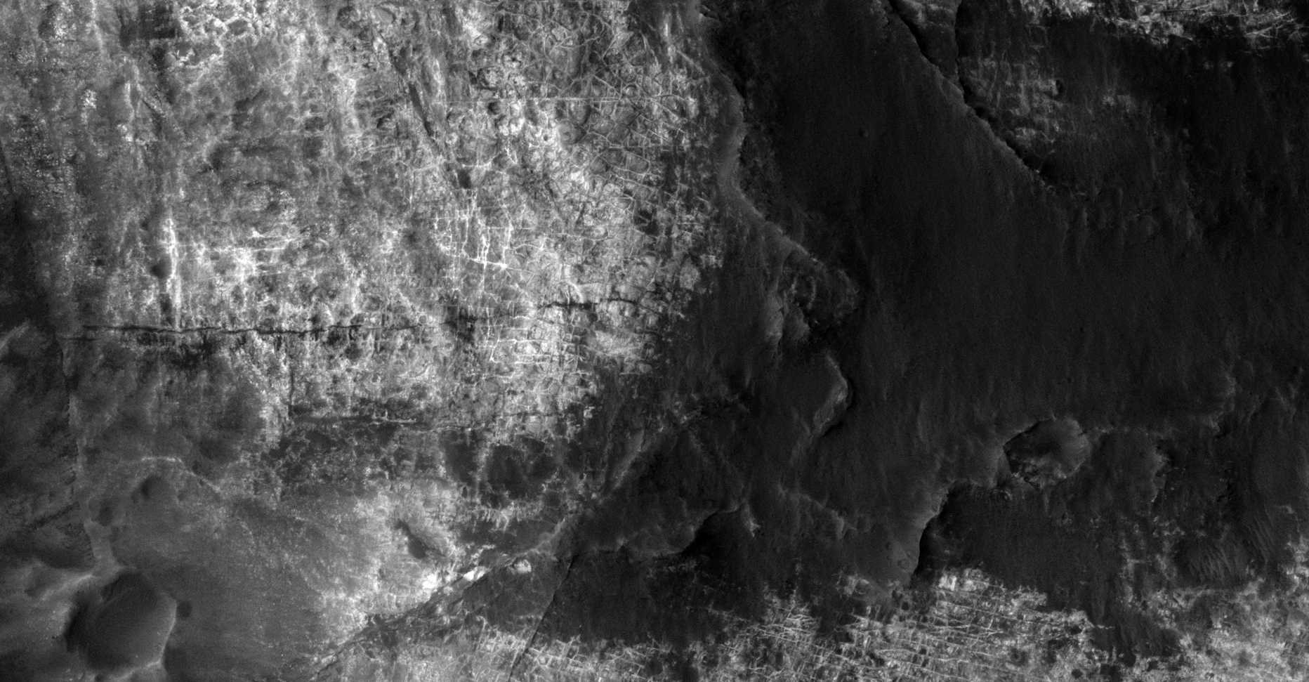
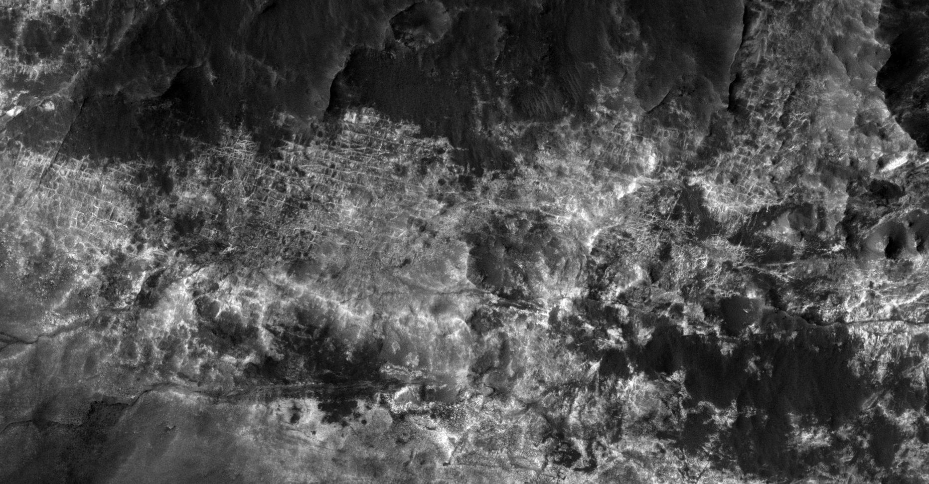
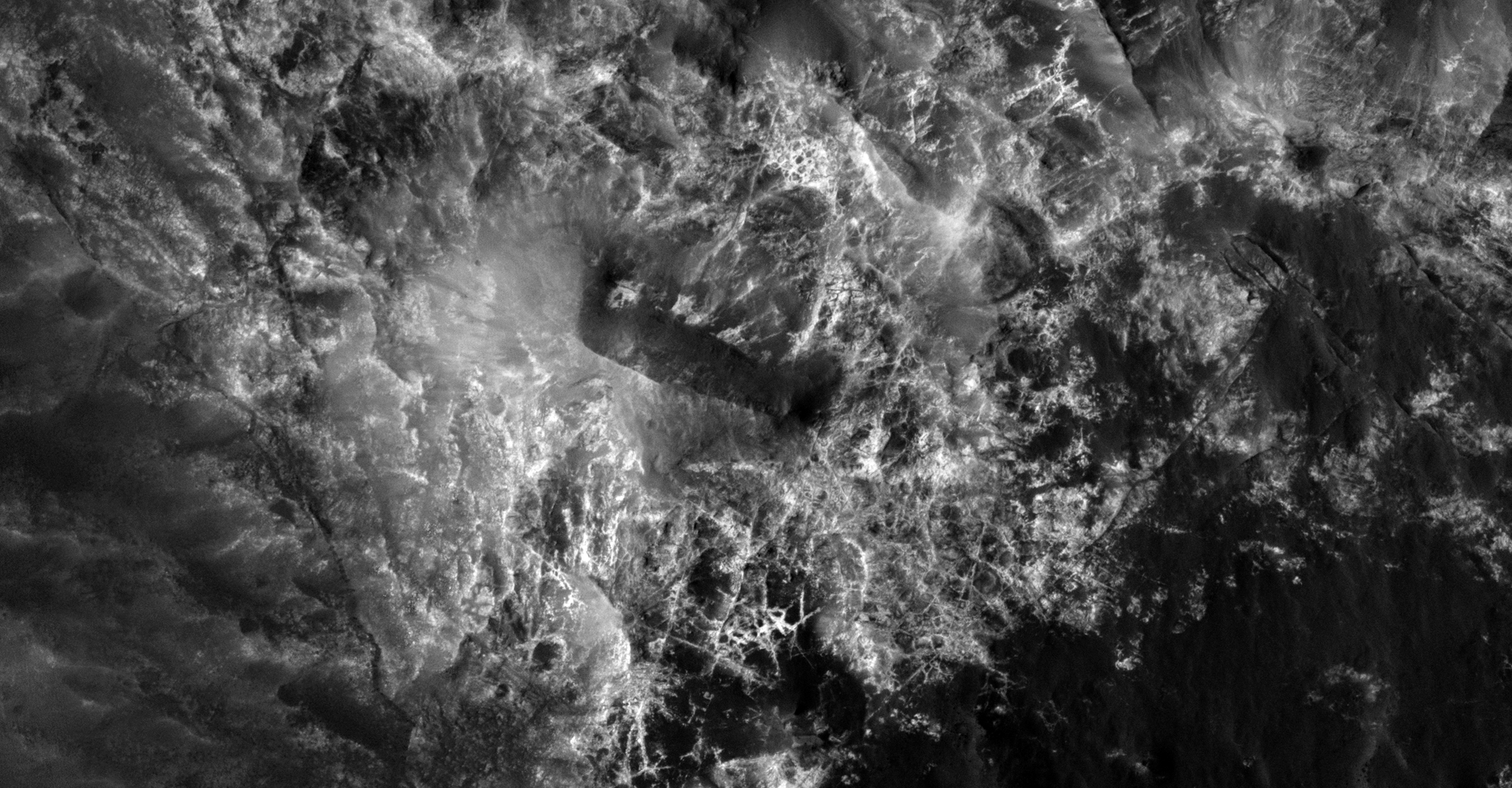
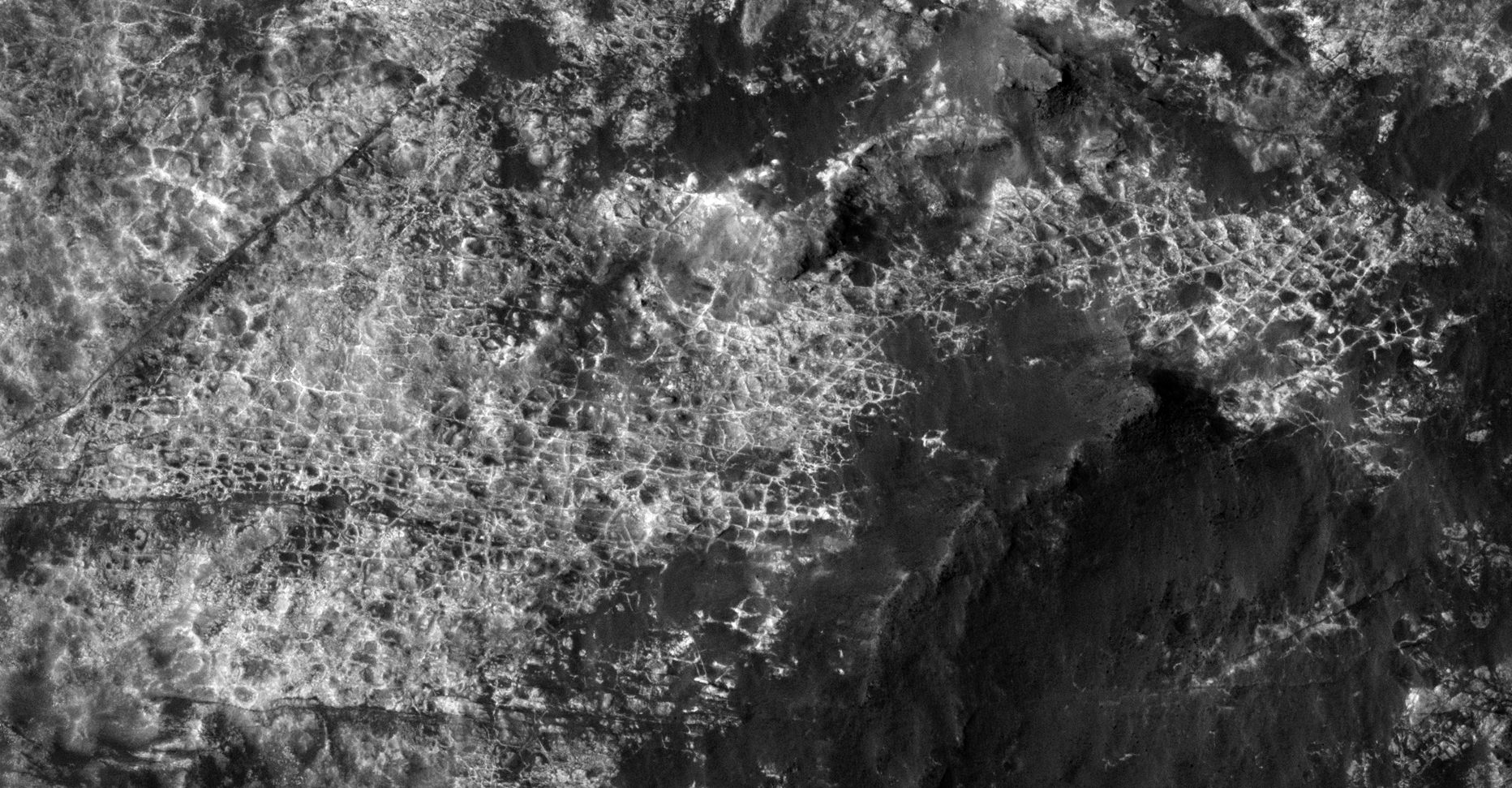
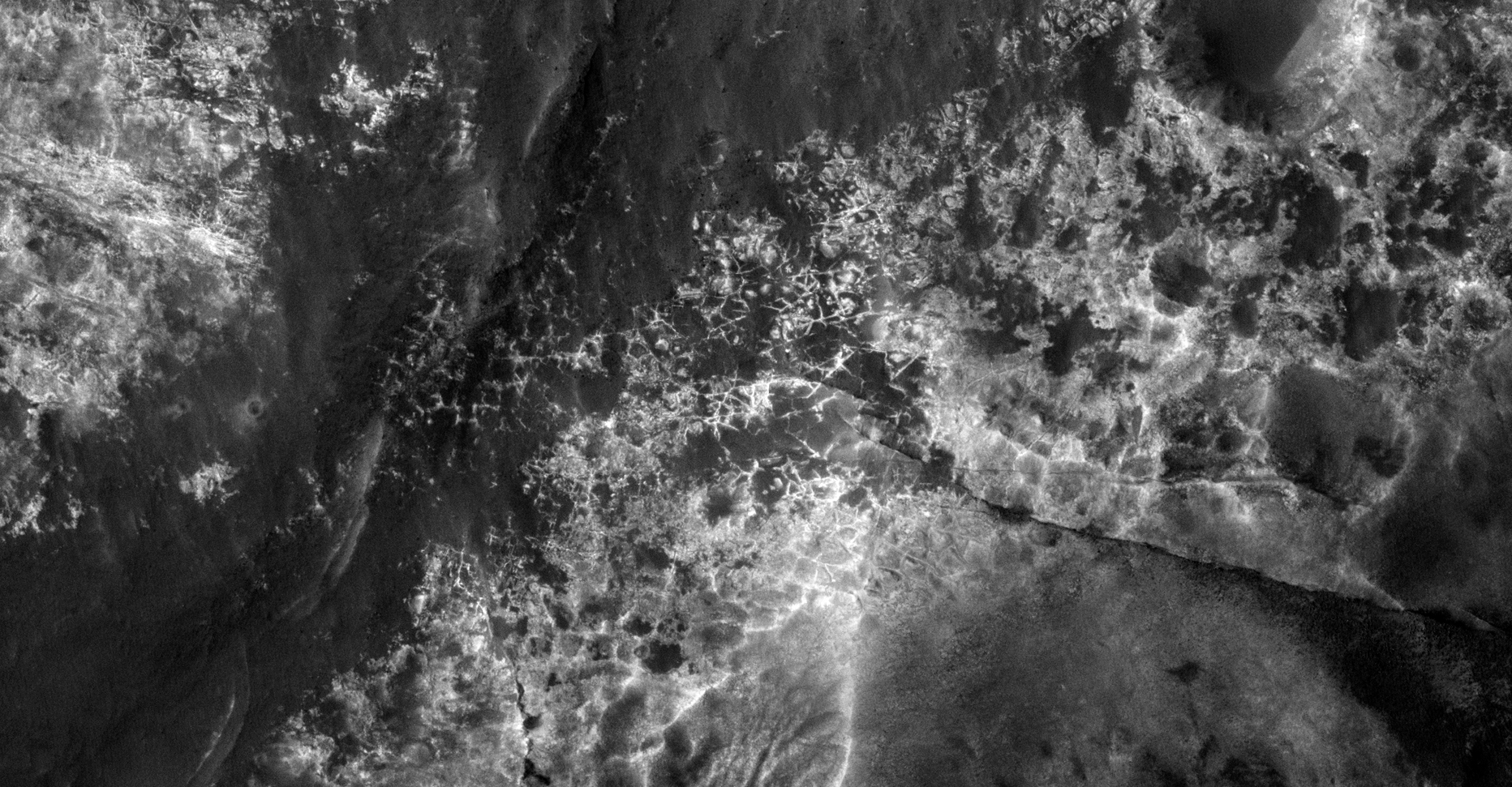
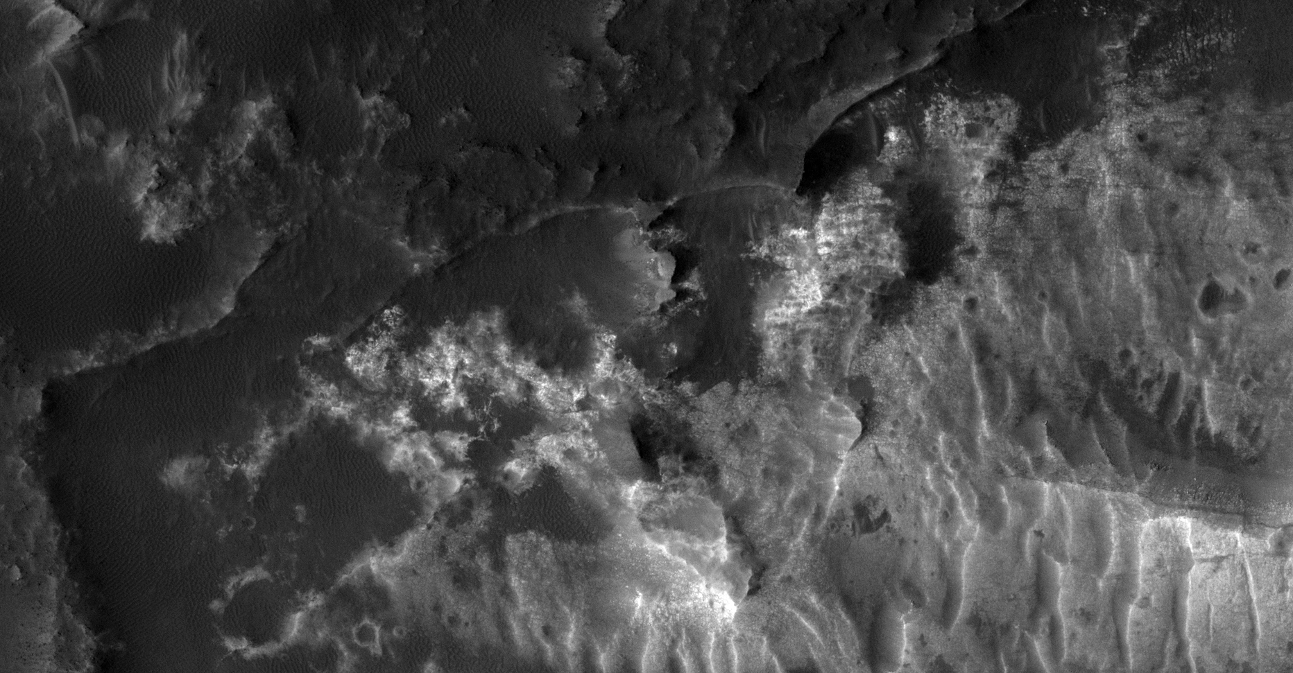


Original NASA source: https://www.uahirise.org/ESP_012945_1450
I downloaded the HiRise B&W Map-Projected JP2 file to view these anomalies.
Subscribe to my YouTube channel and turn on notifications to be notified when new videos are uploaded.
Also visit Twitter page @RaptorZN_.