Devastation East of Hellas Montes on Mars

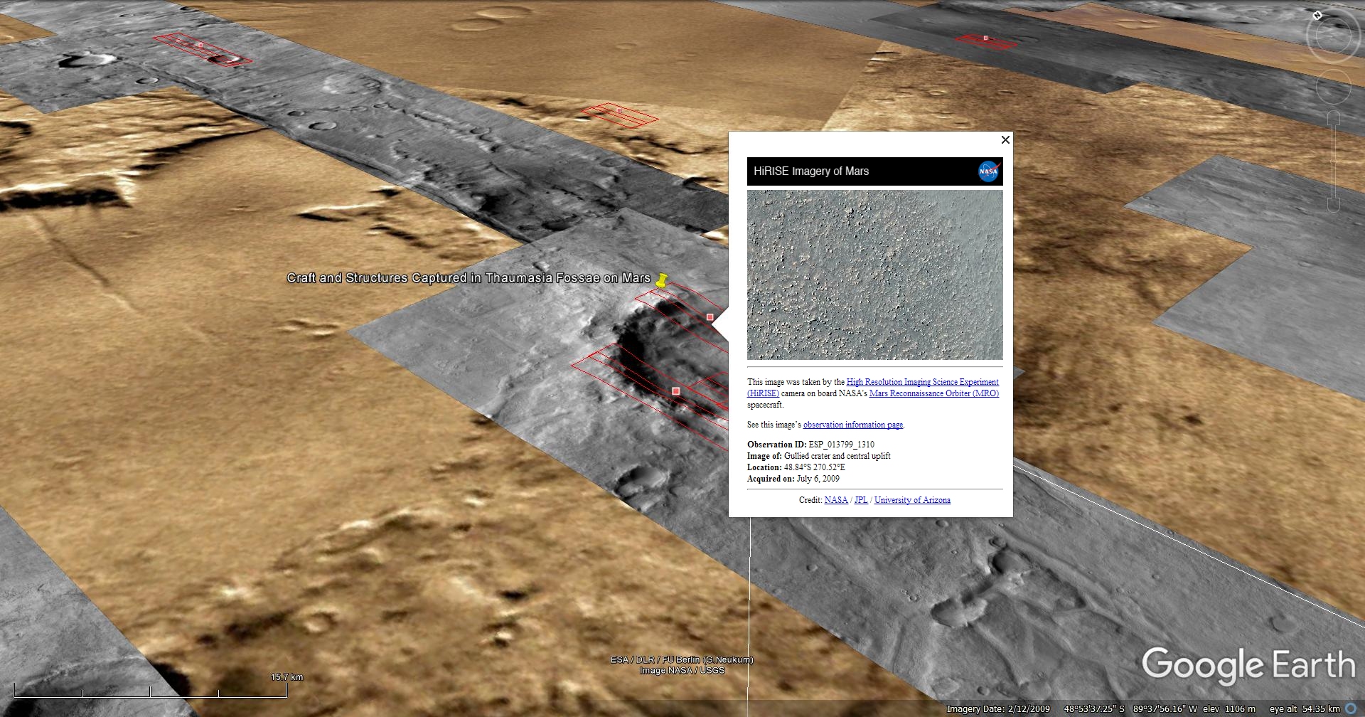
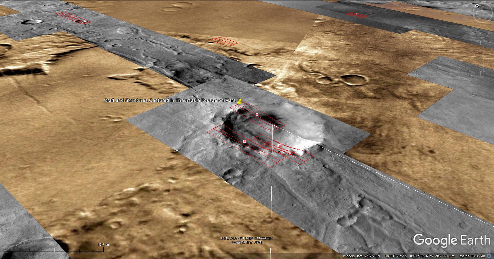
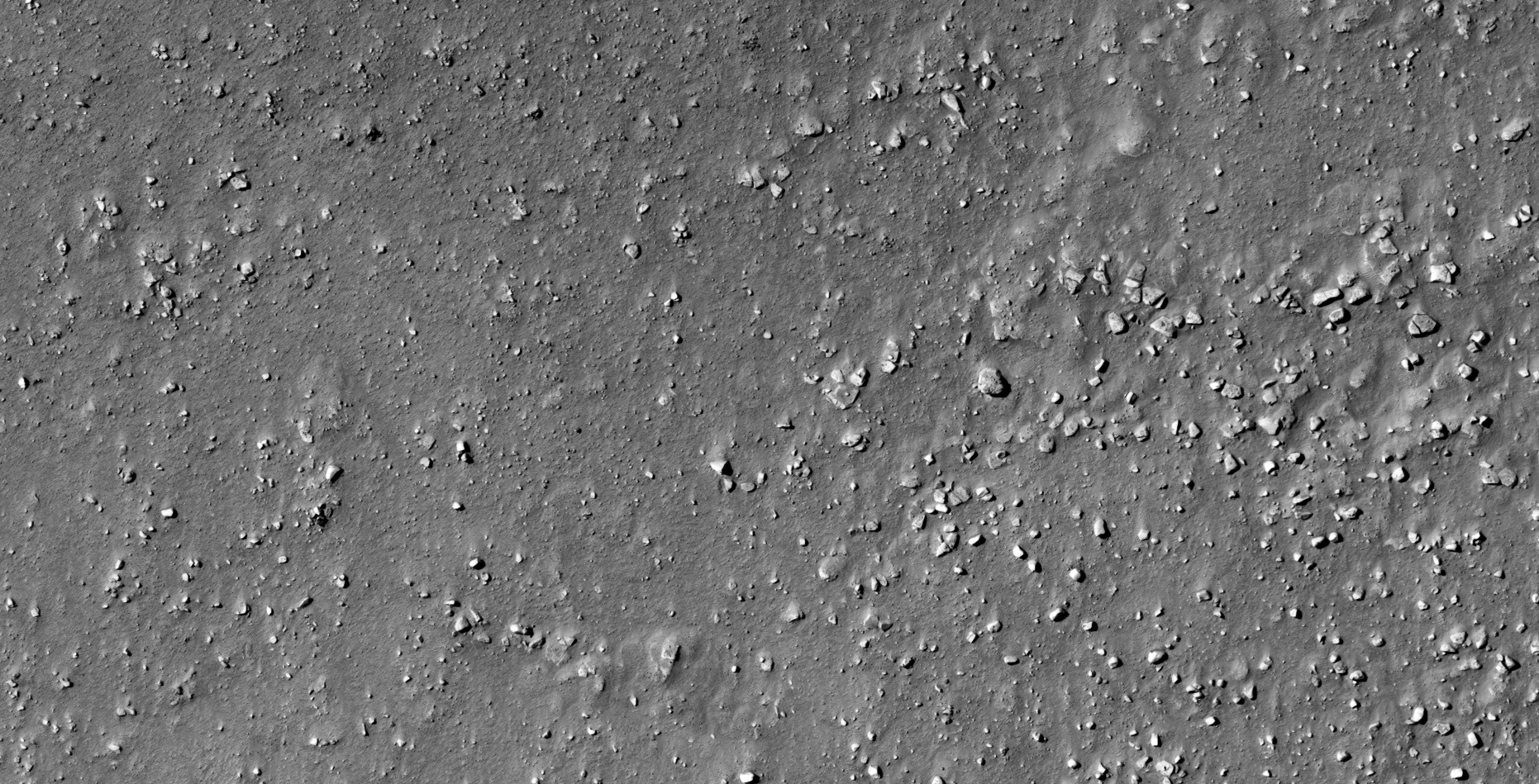
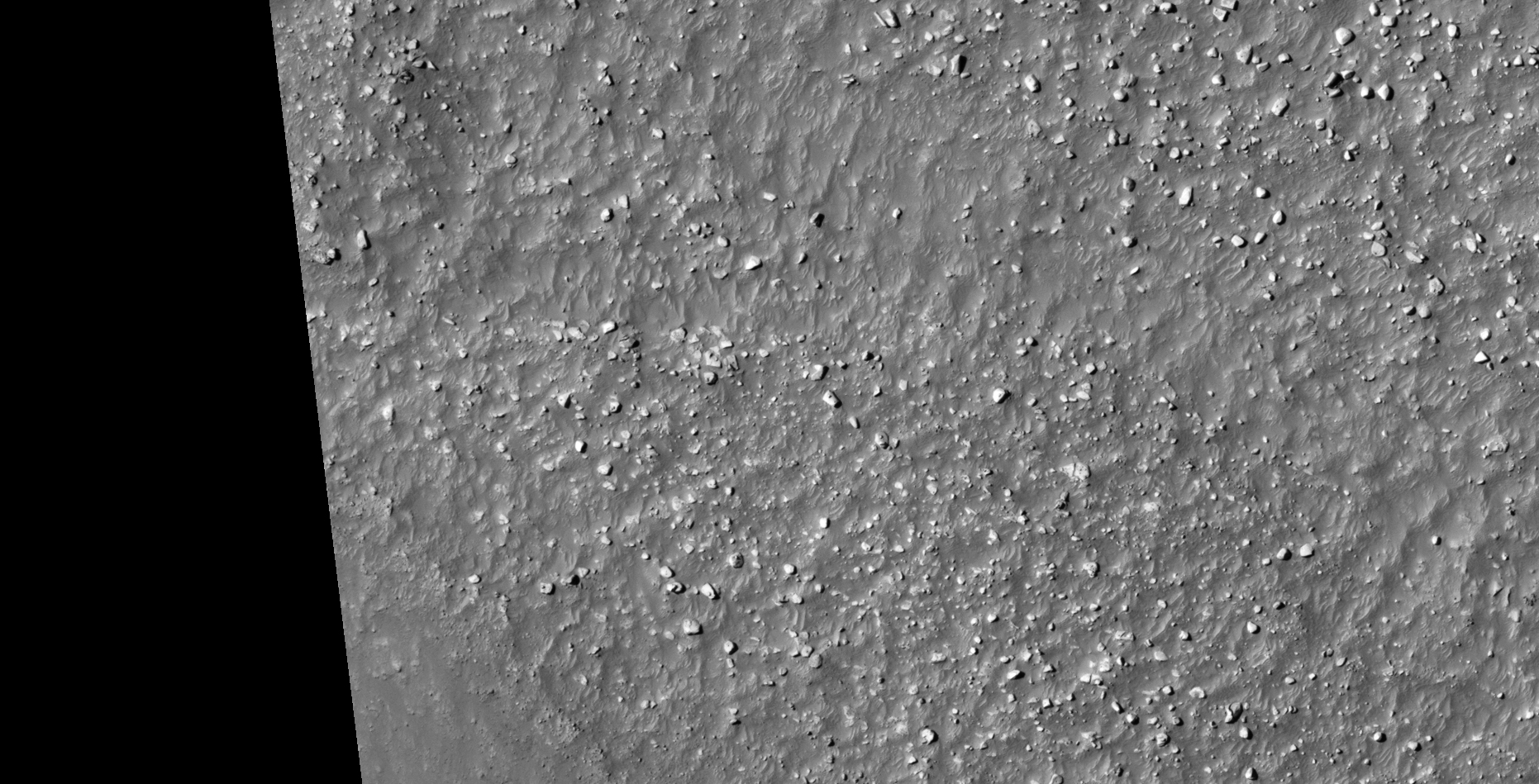
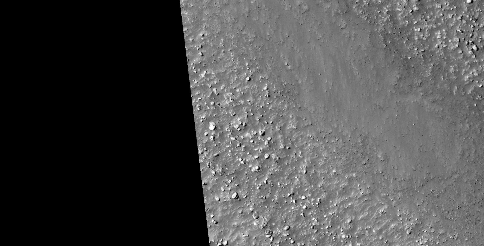
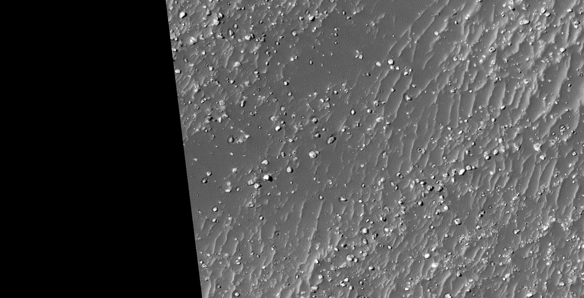
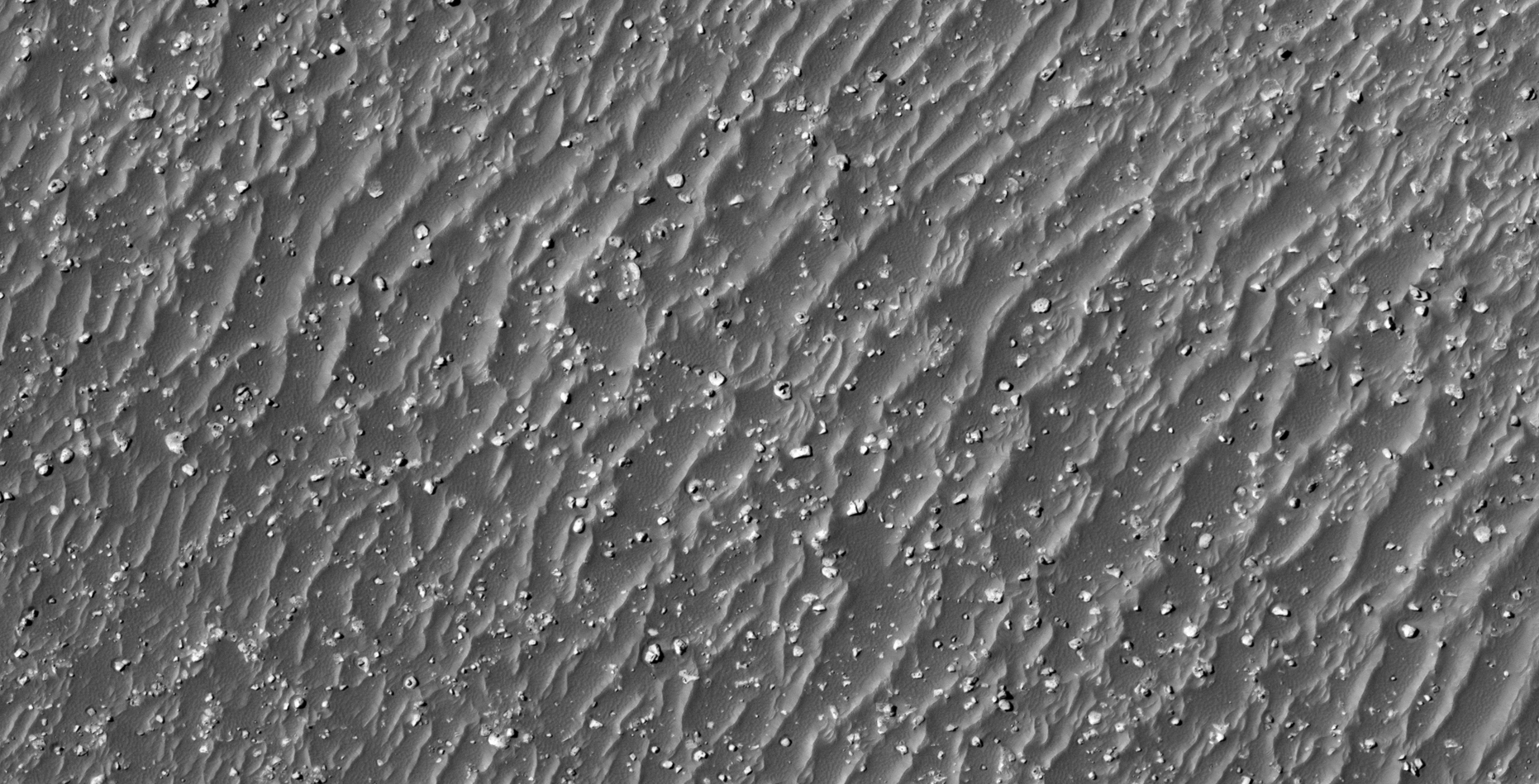
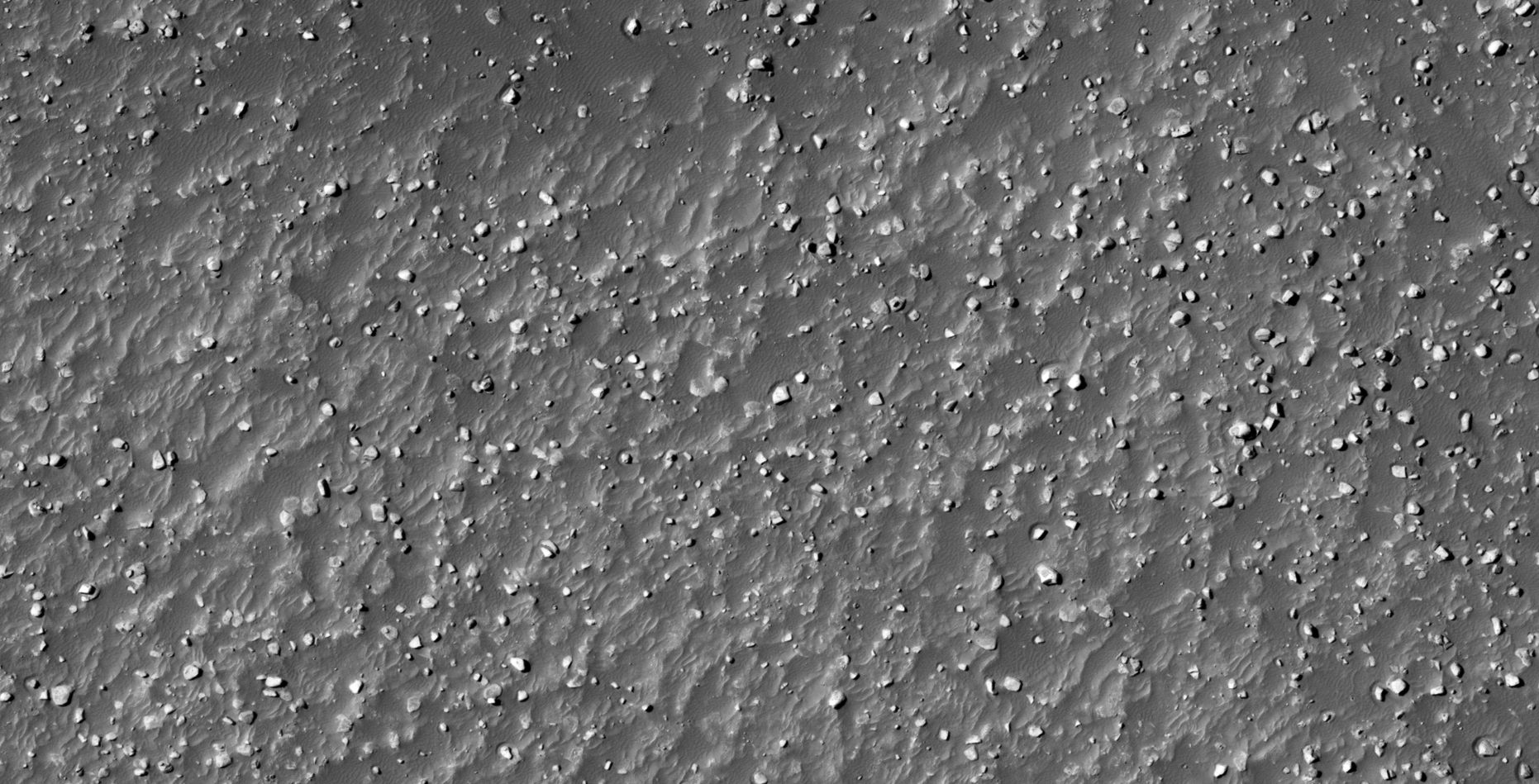
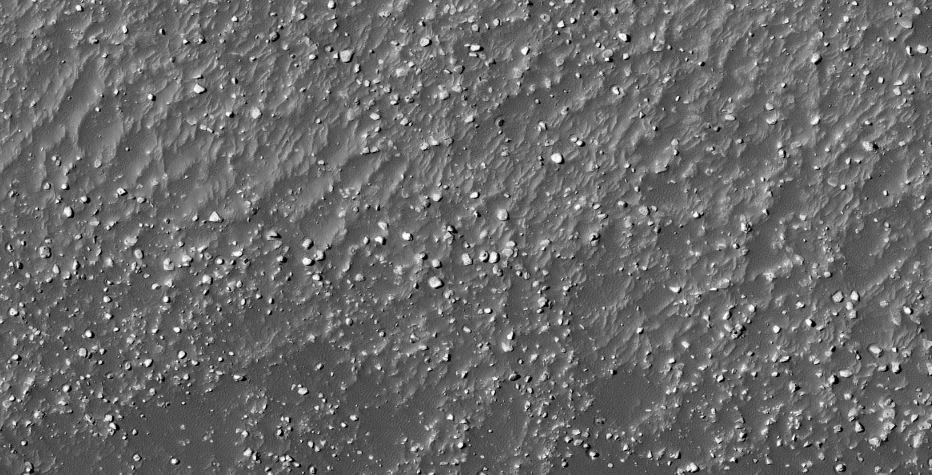
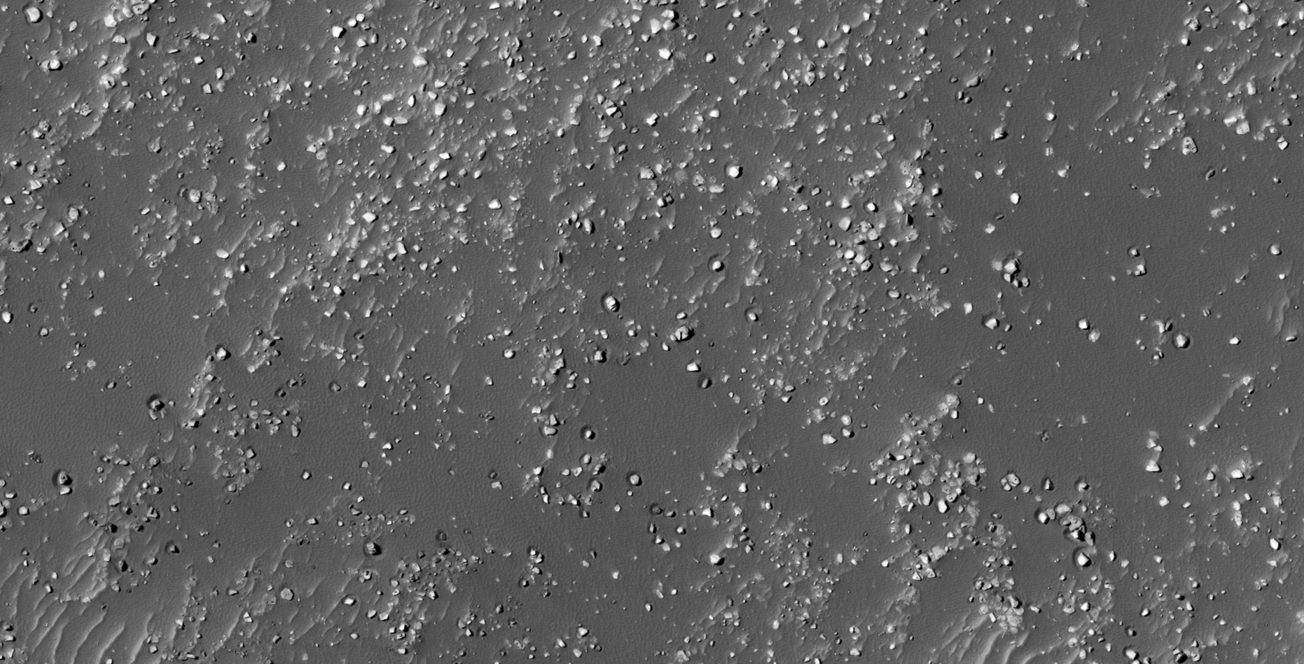
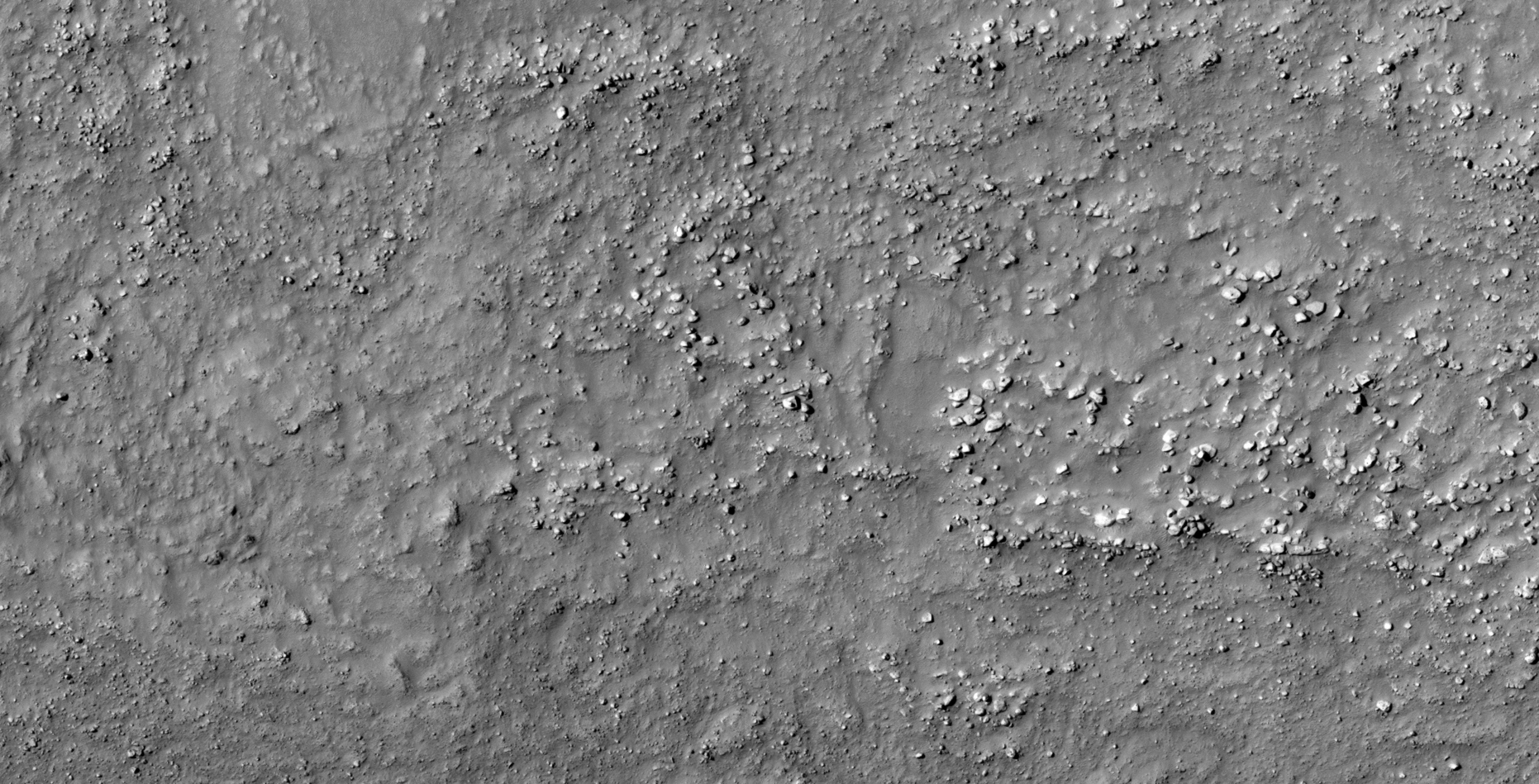
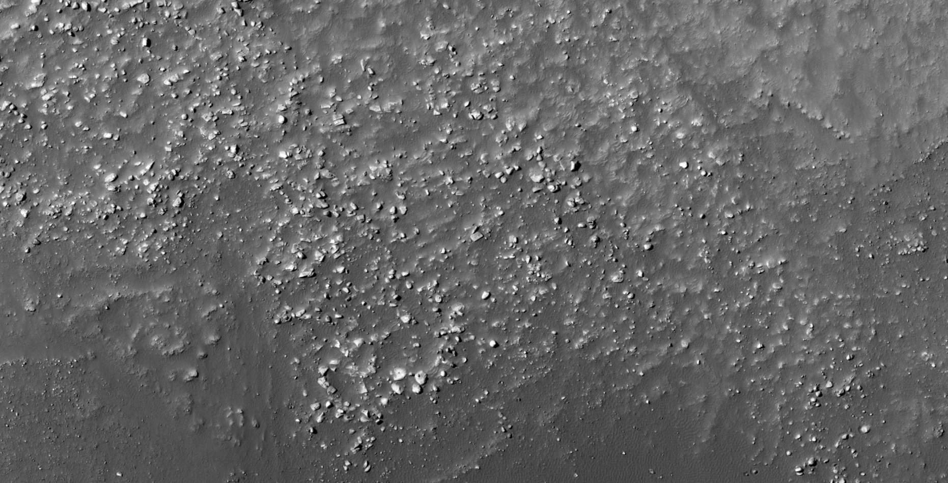
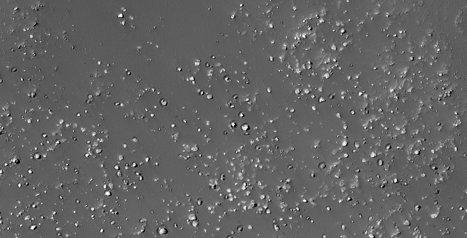
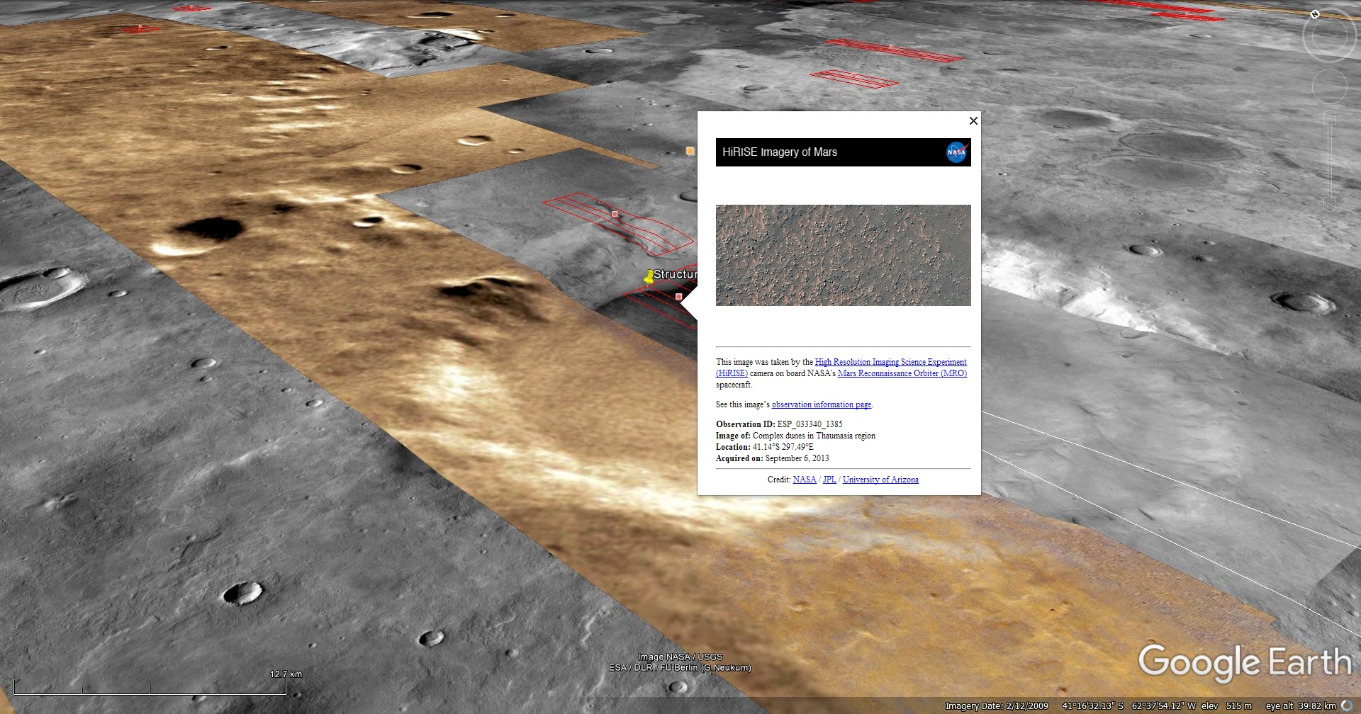
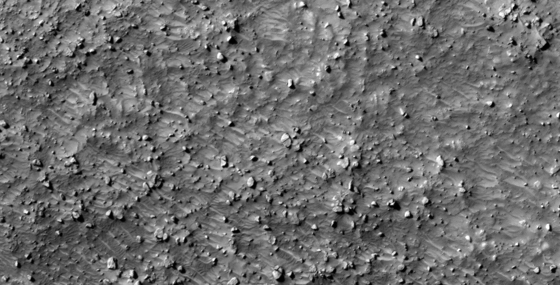
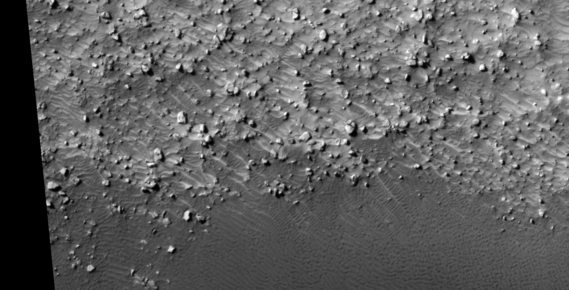
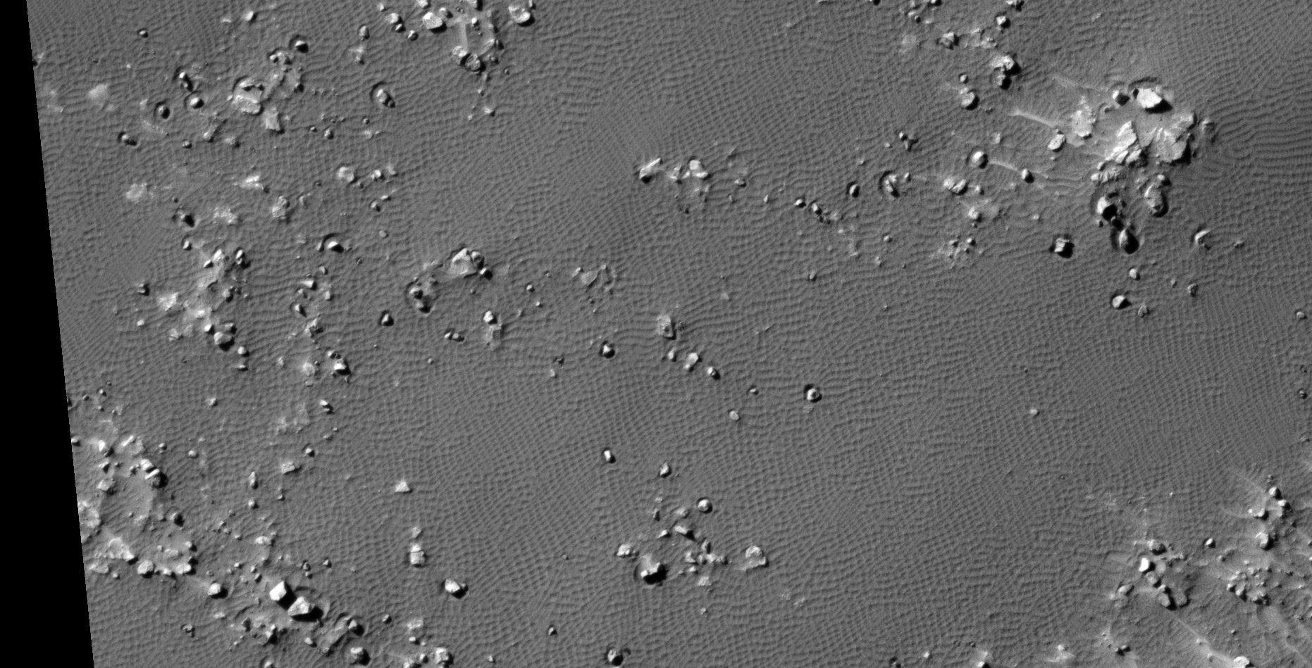
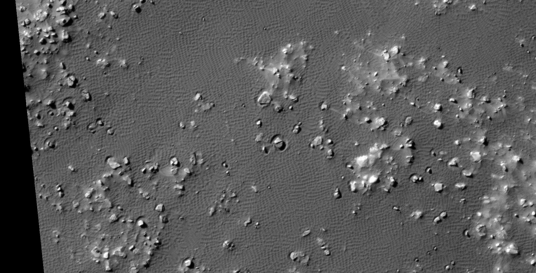
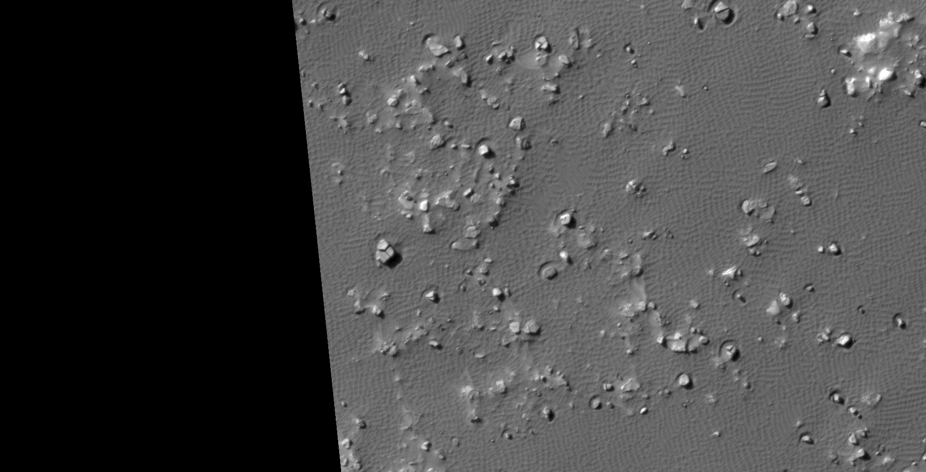
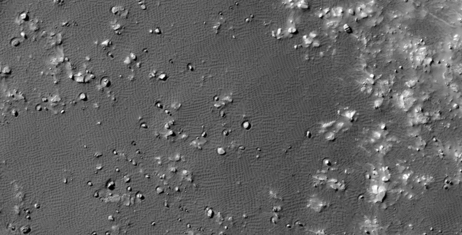
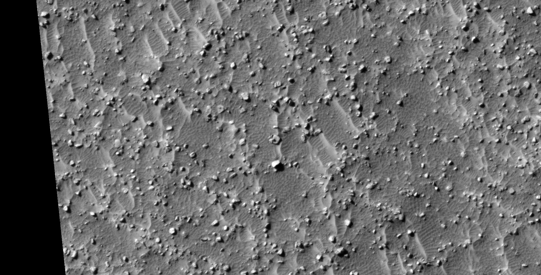
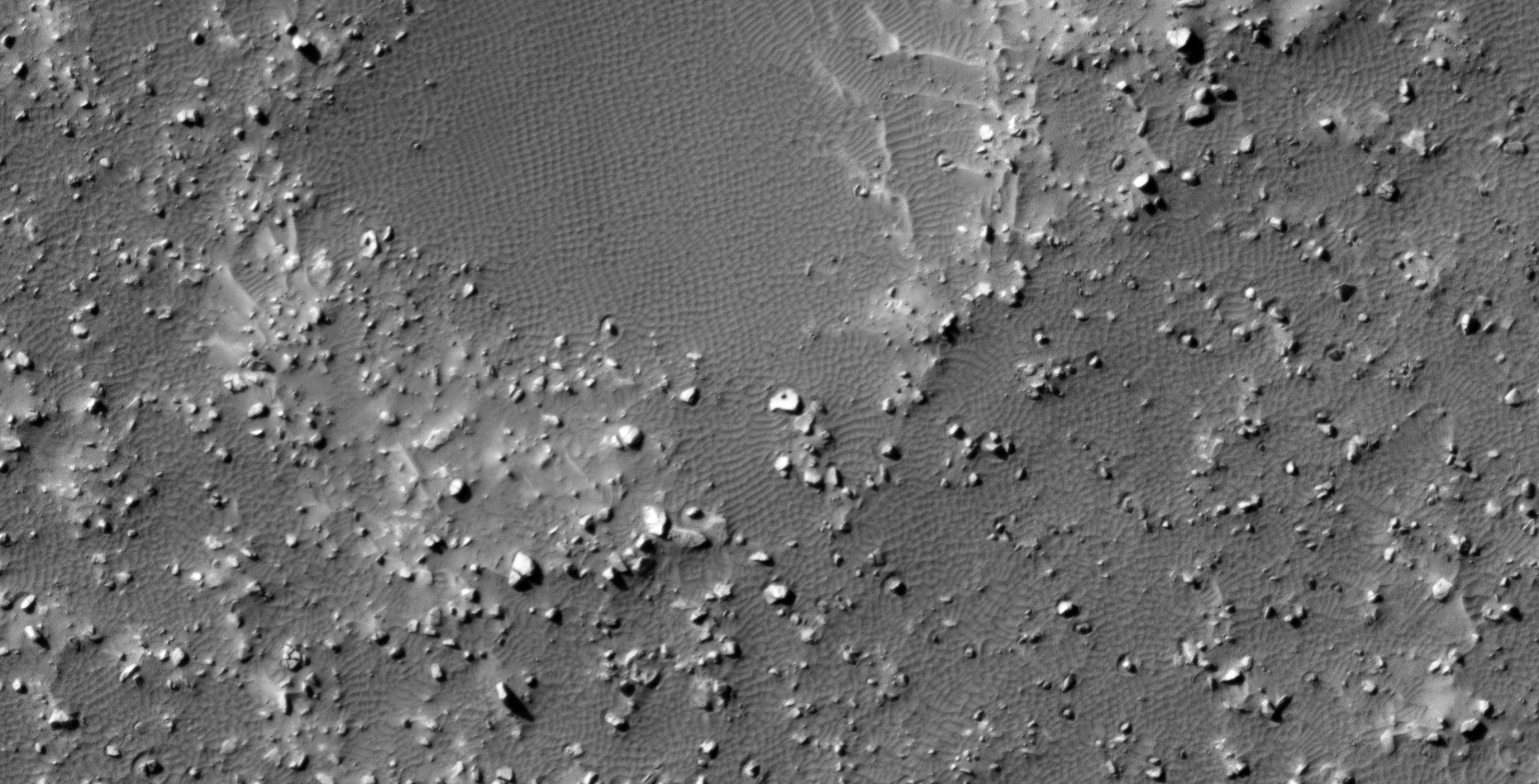
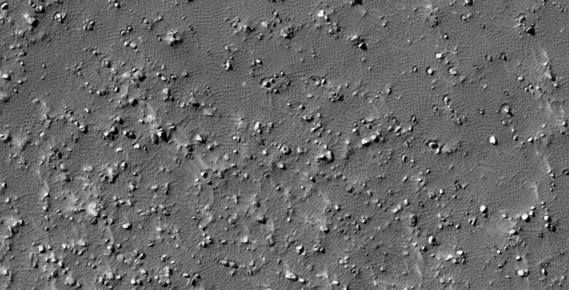
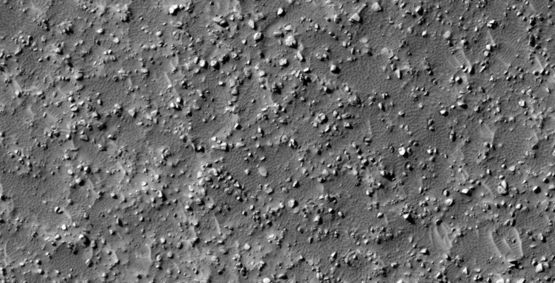
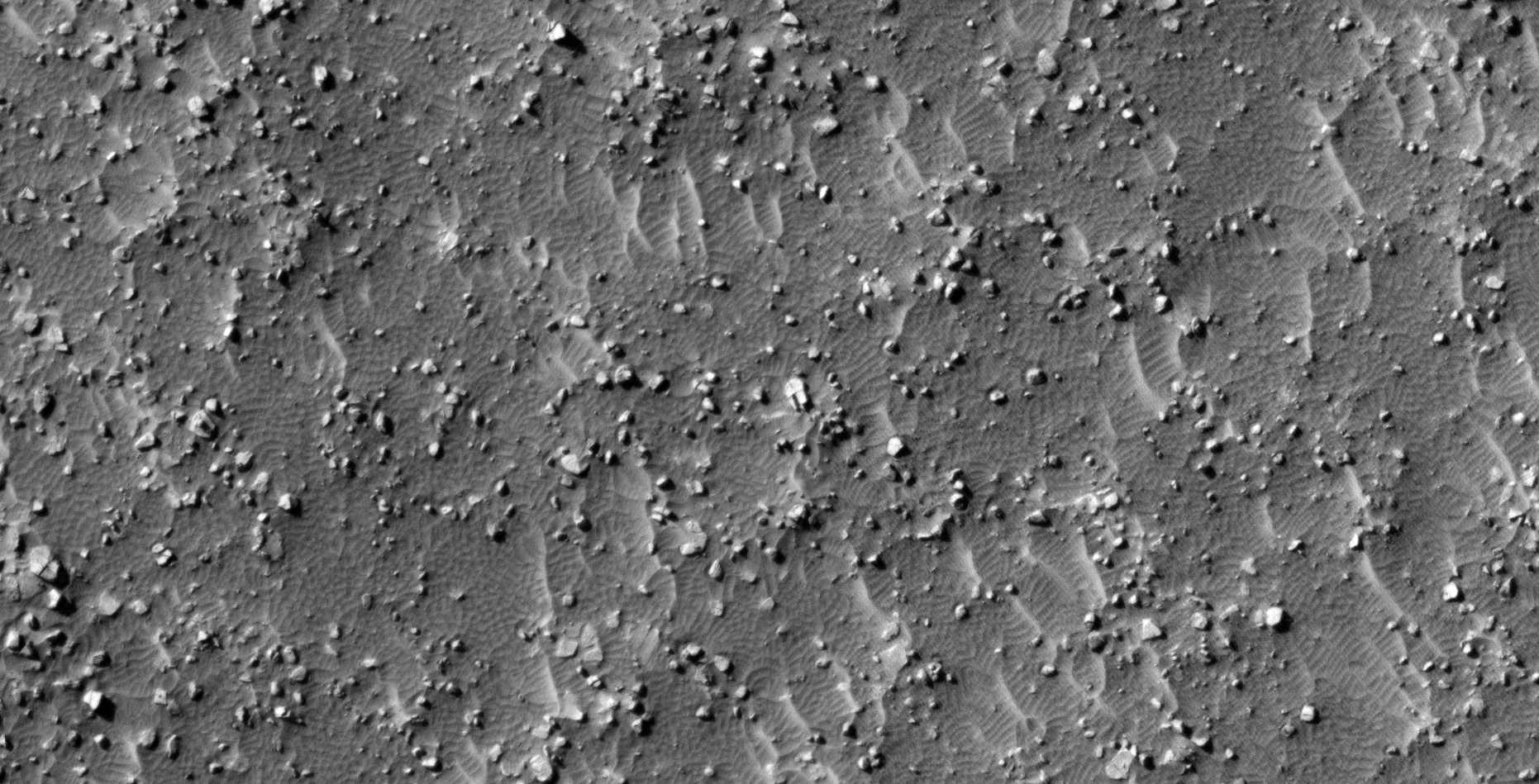
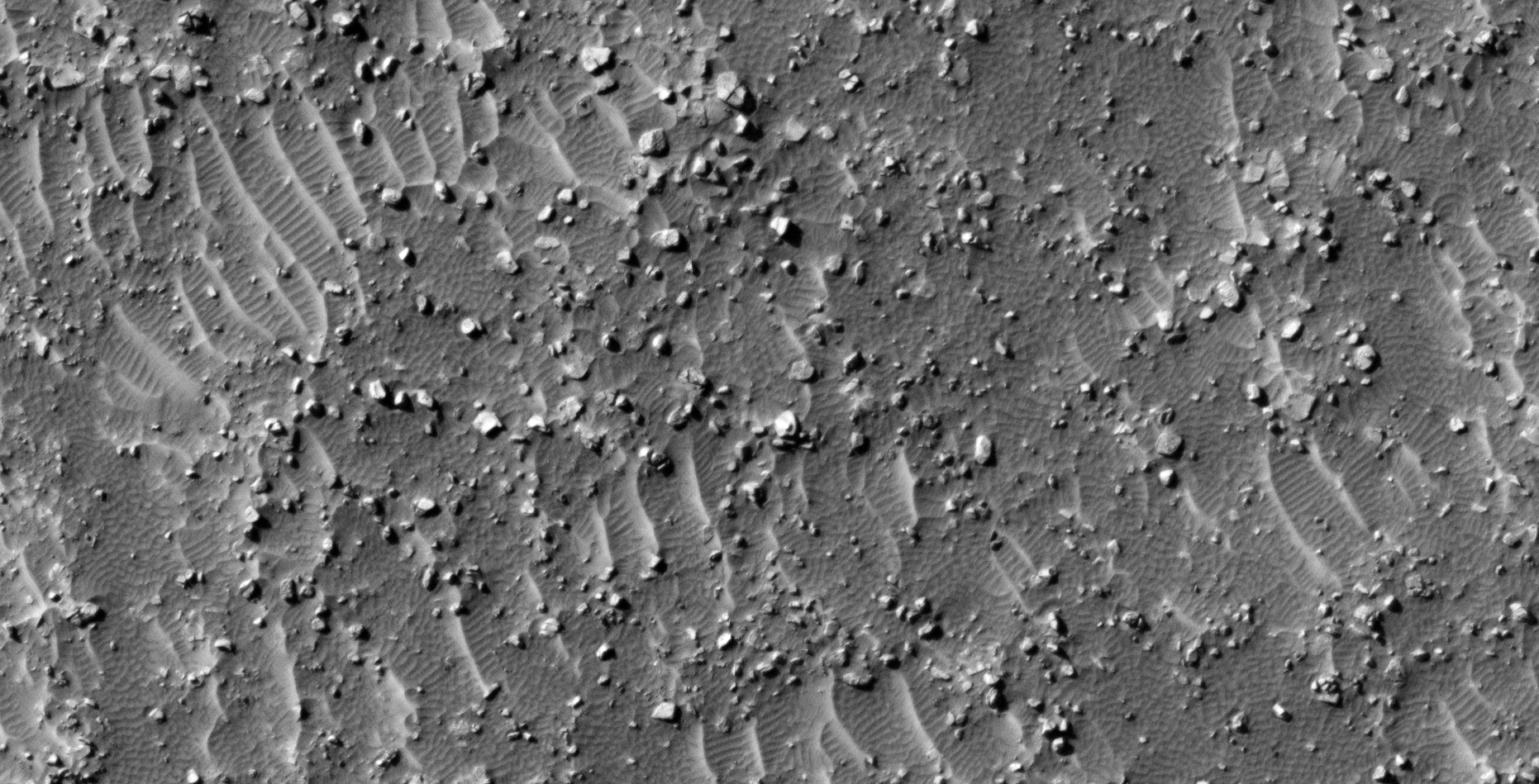
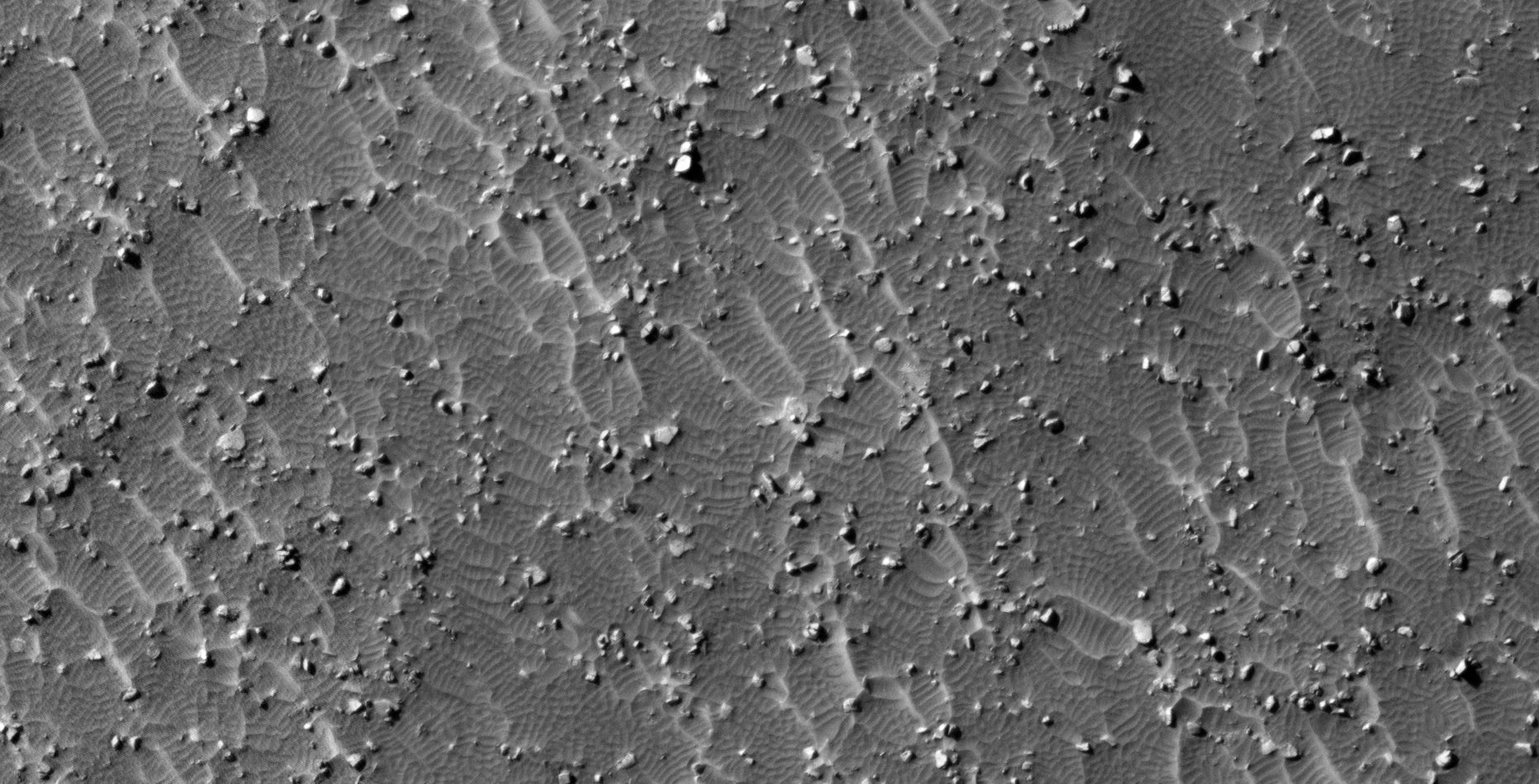
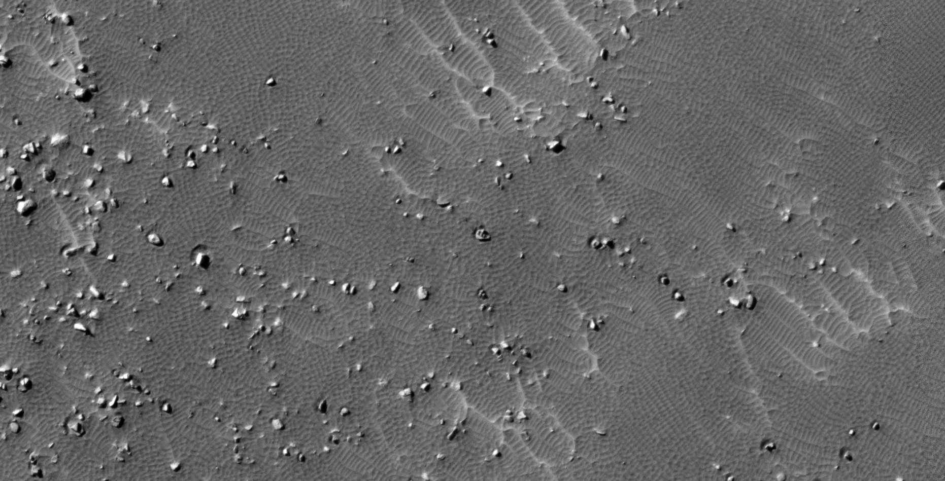
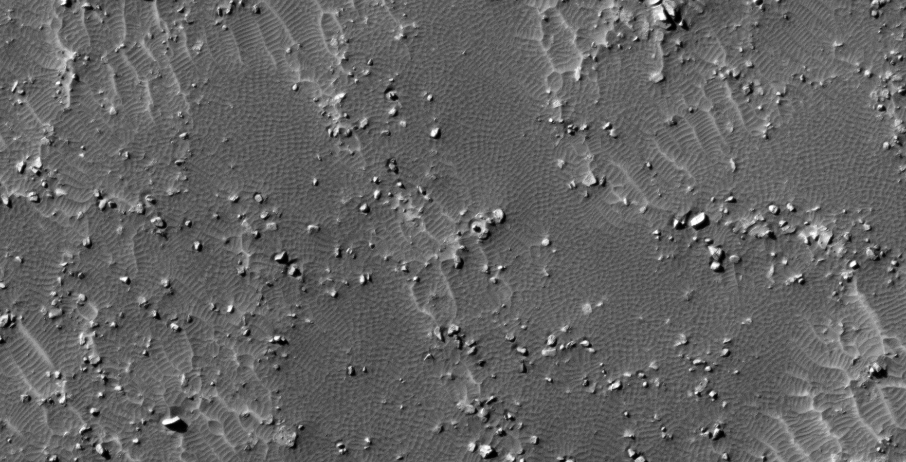
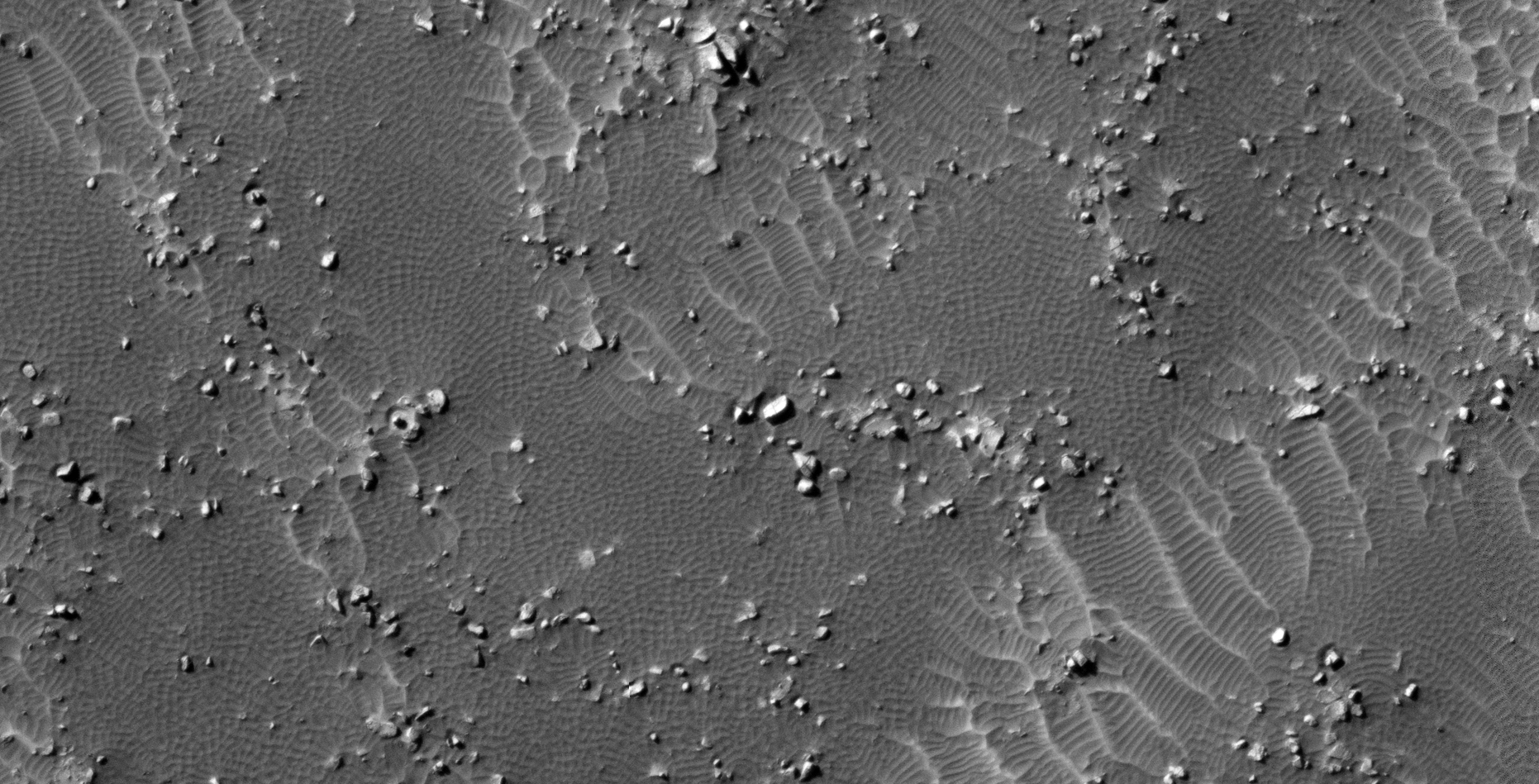
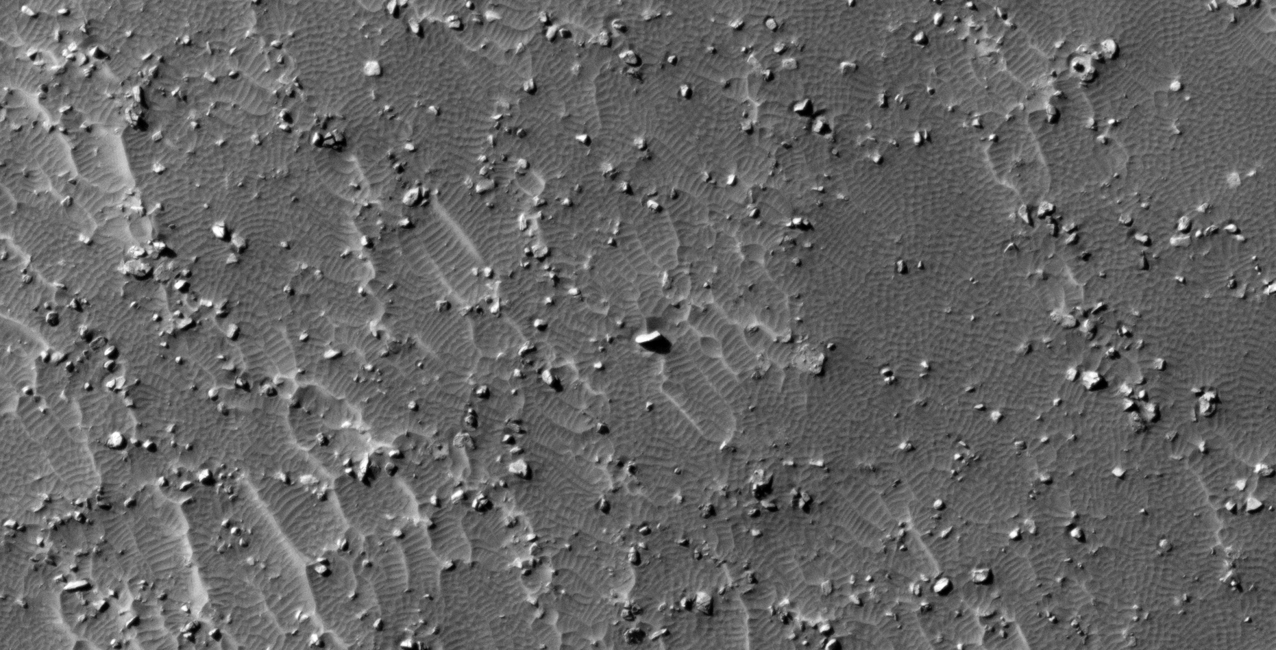
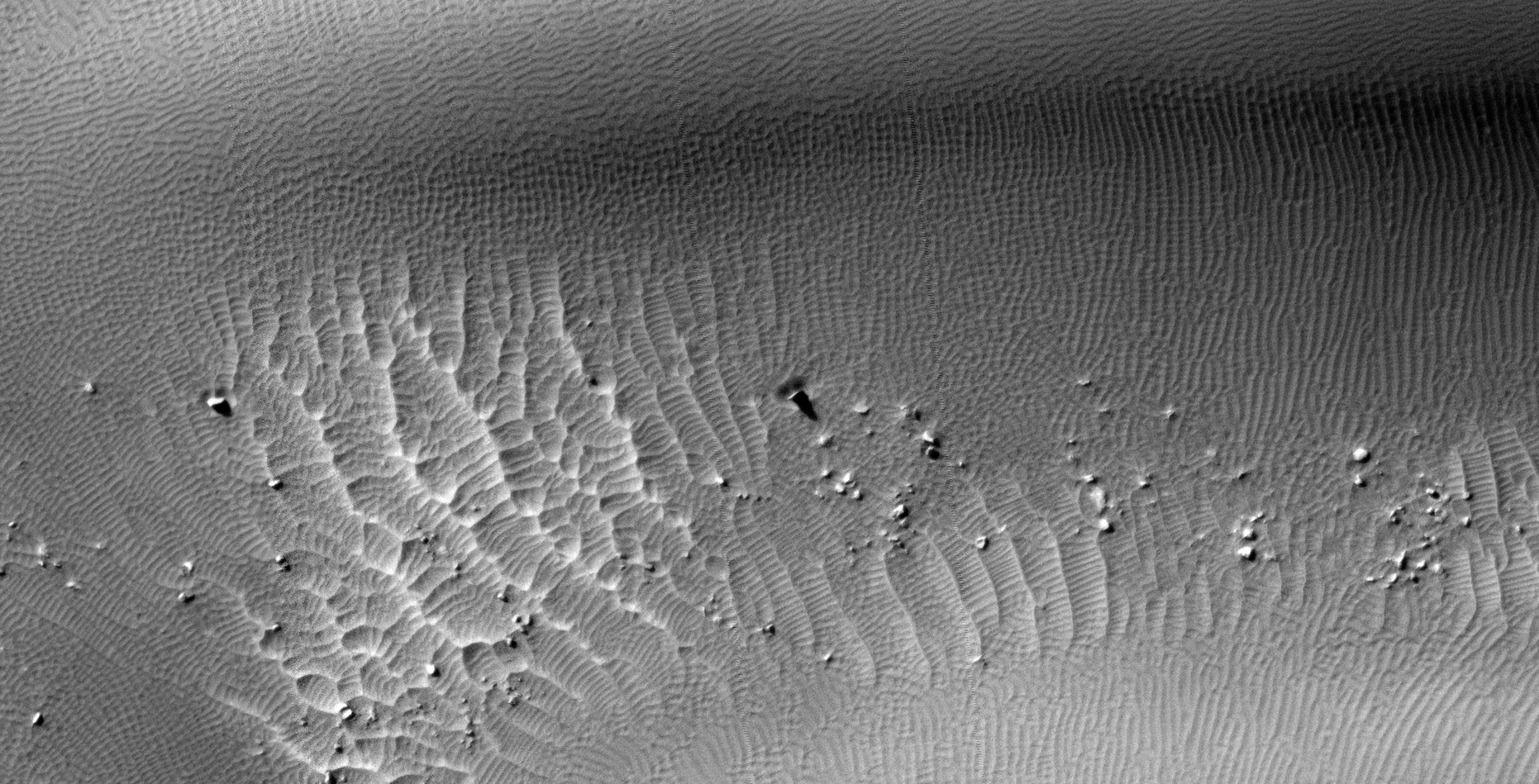
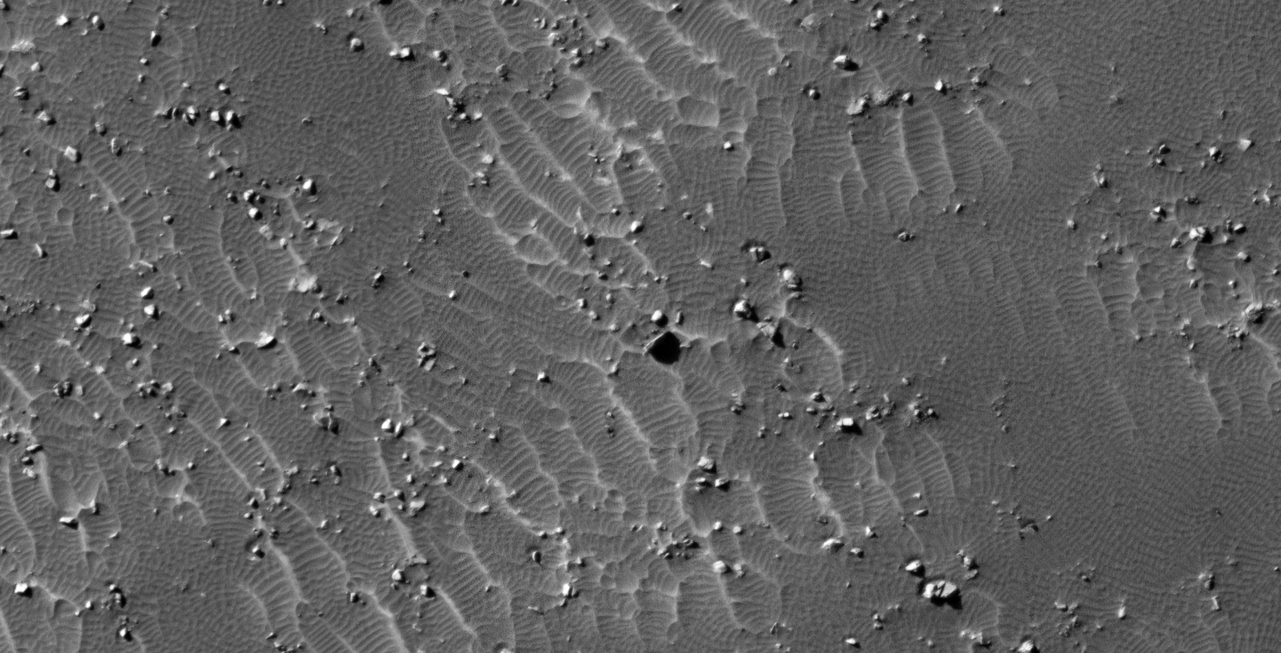
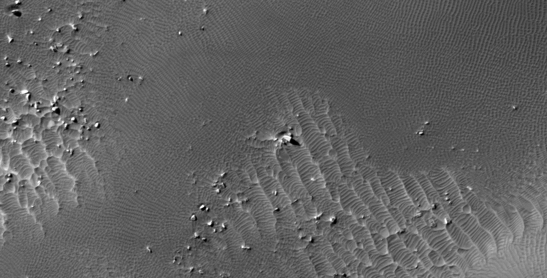
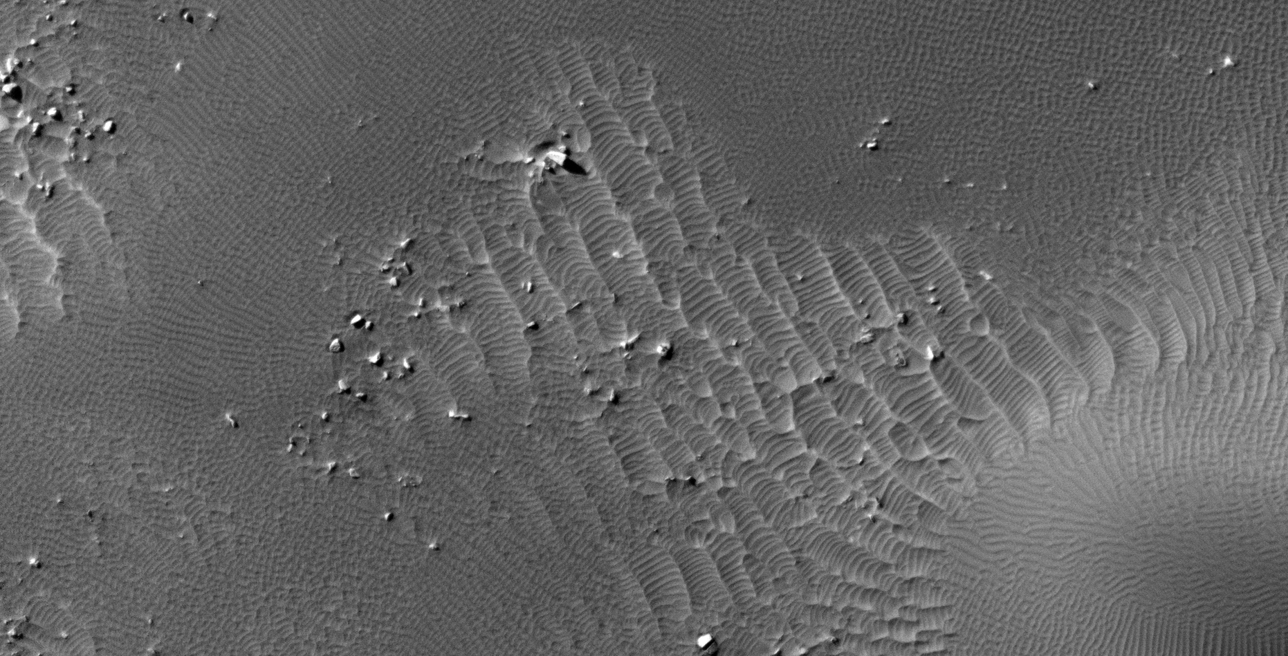
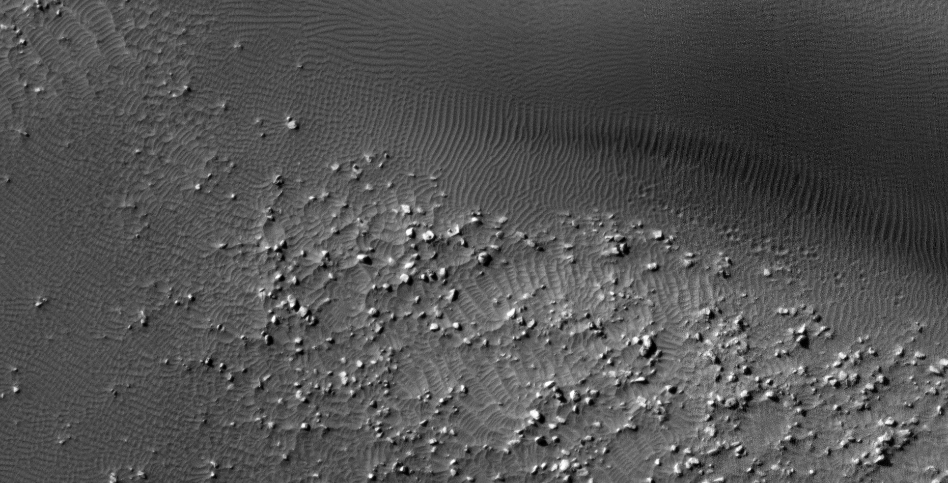
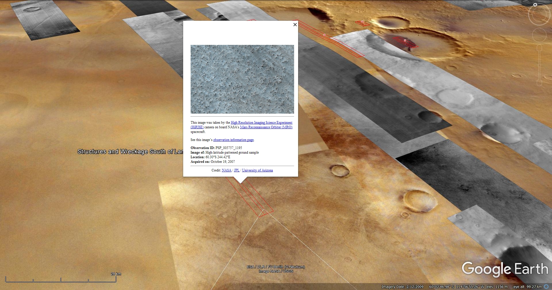
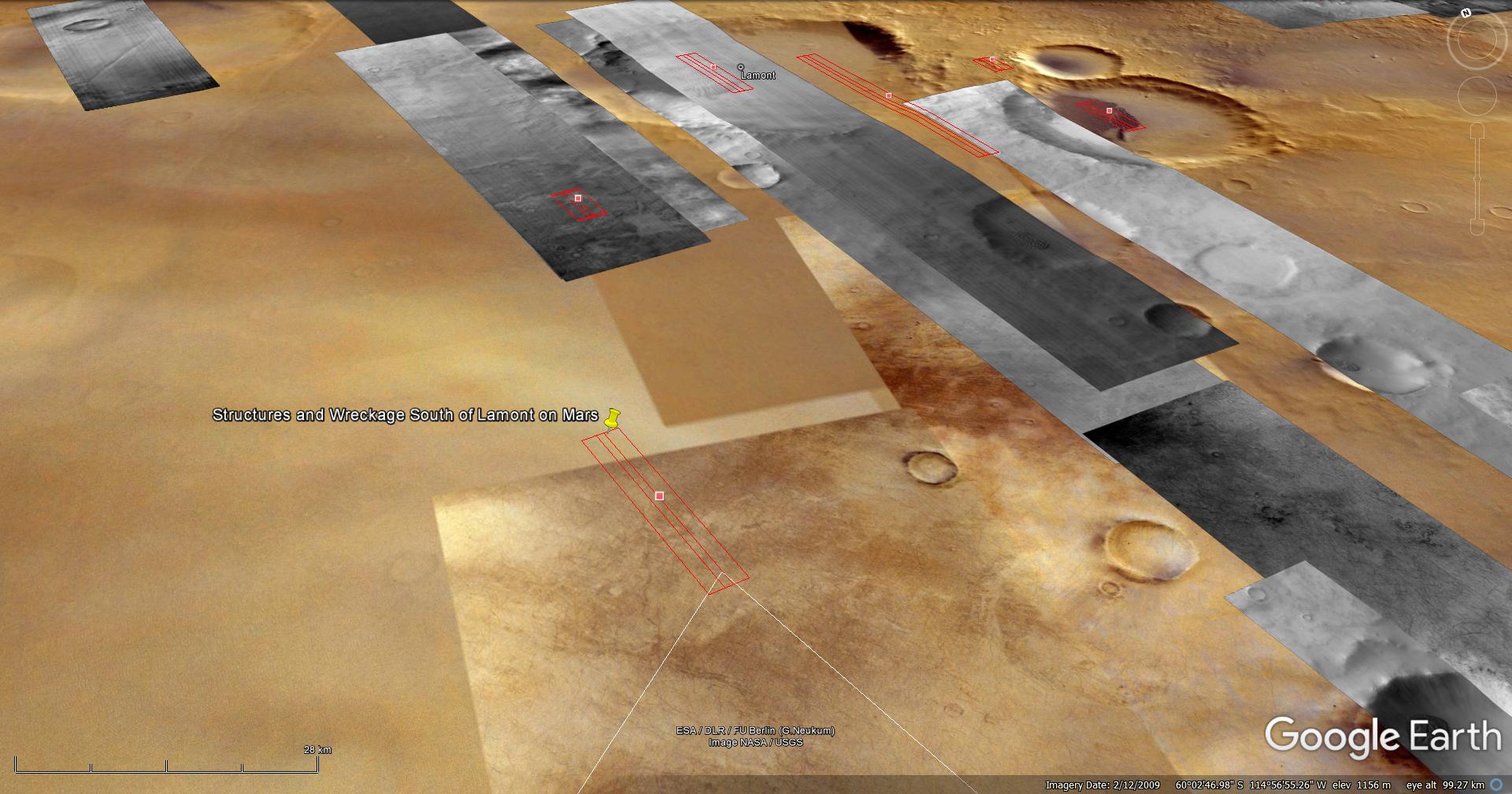
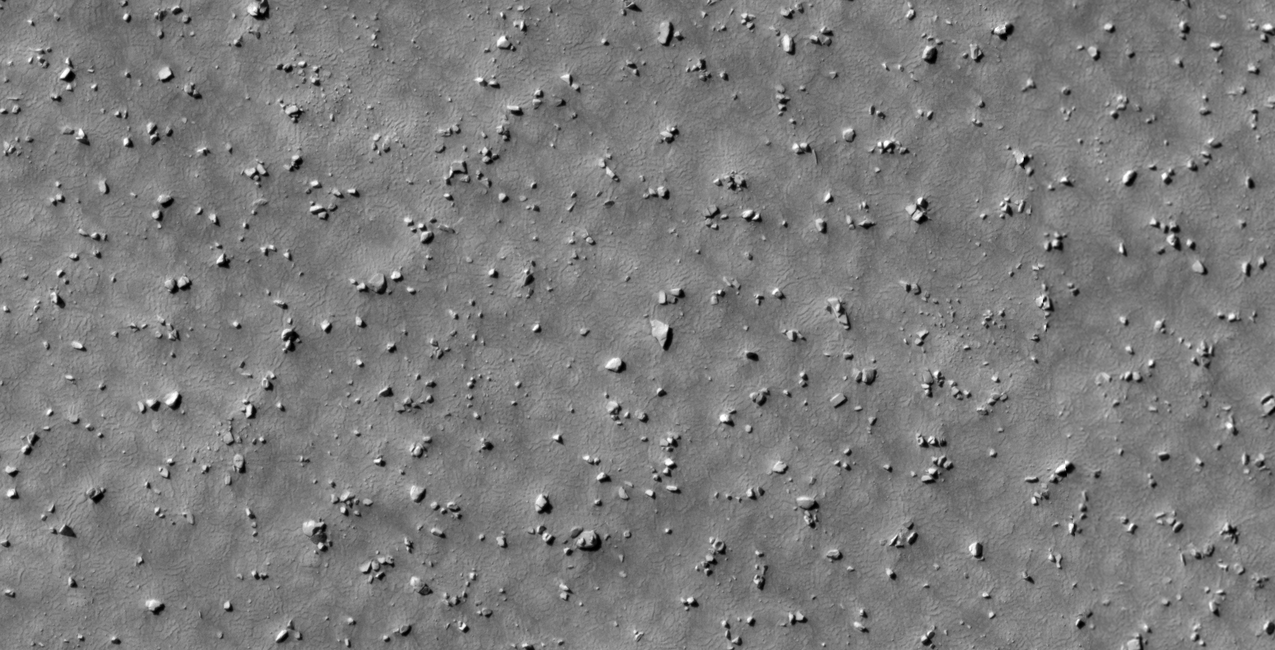
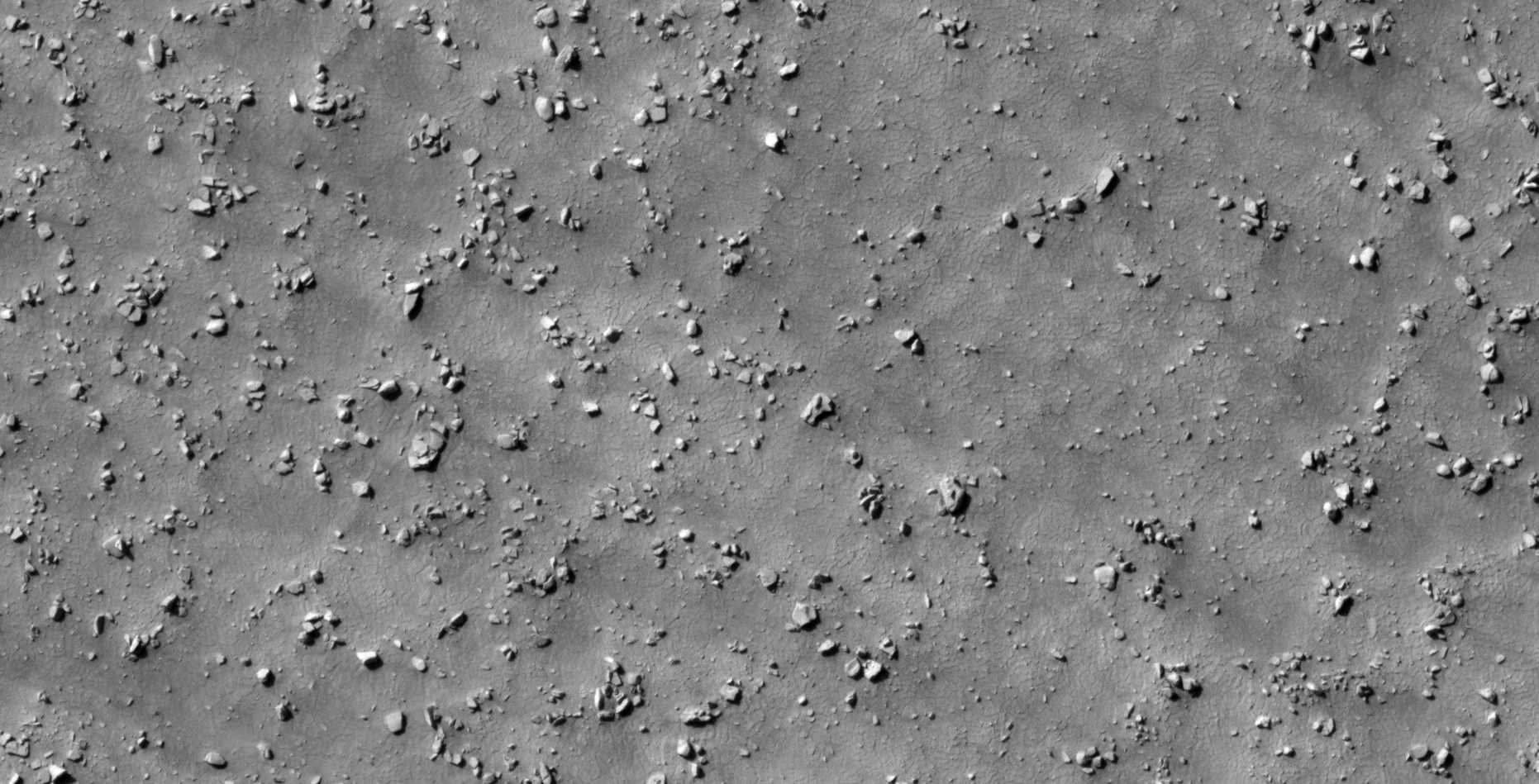
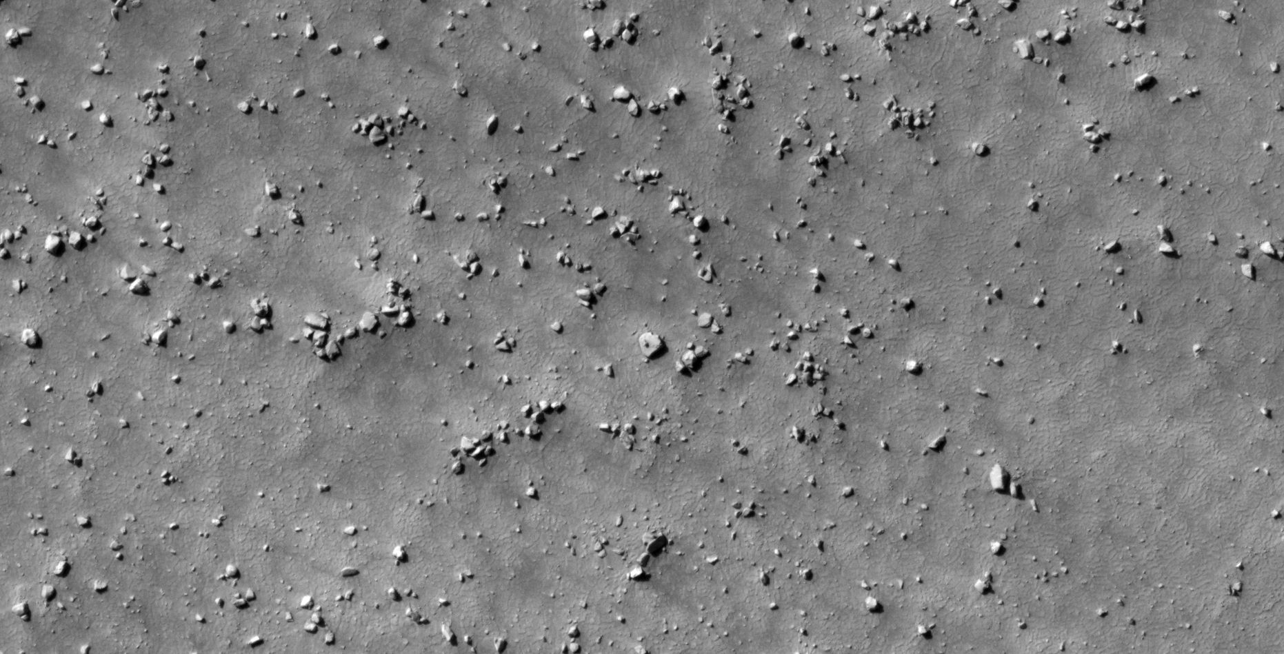
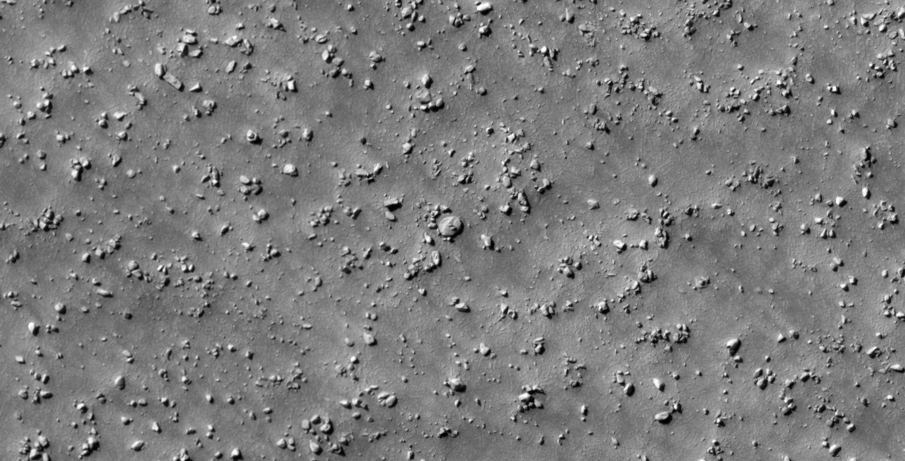
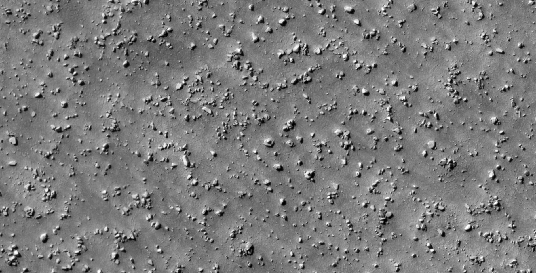
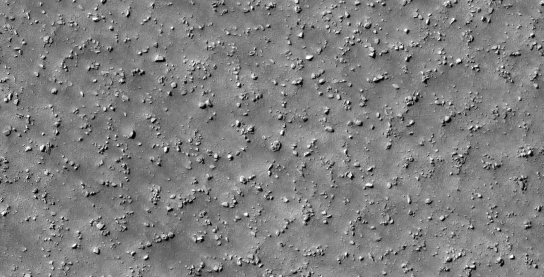
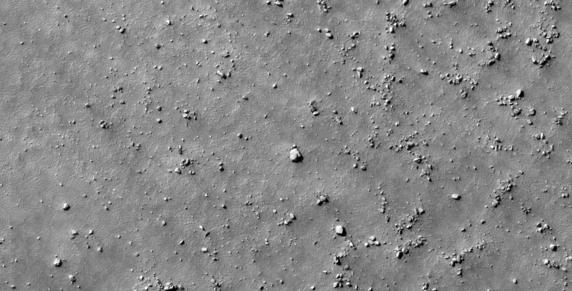
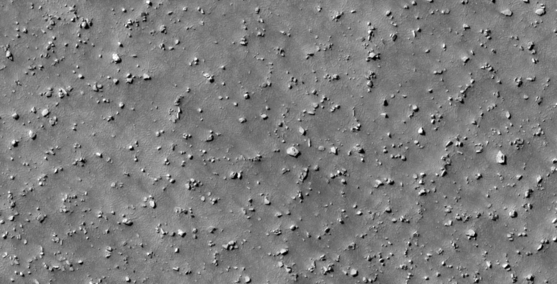
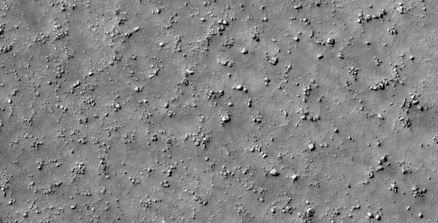
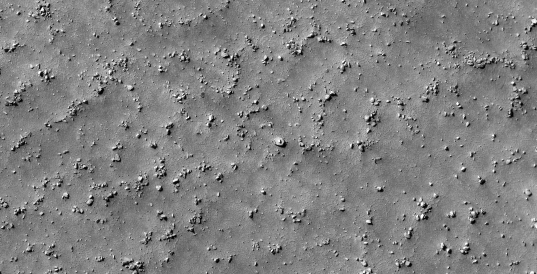
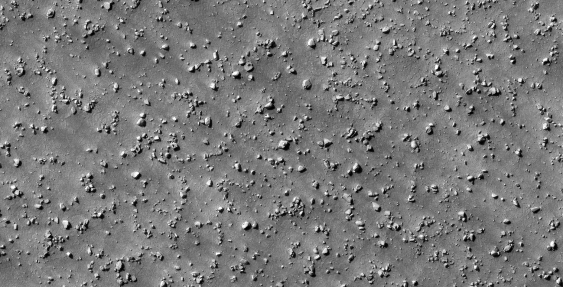
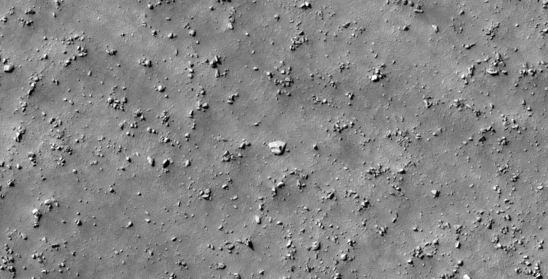
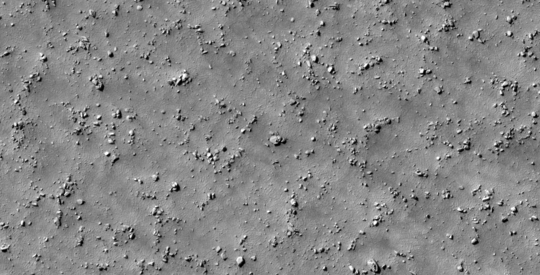
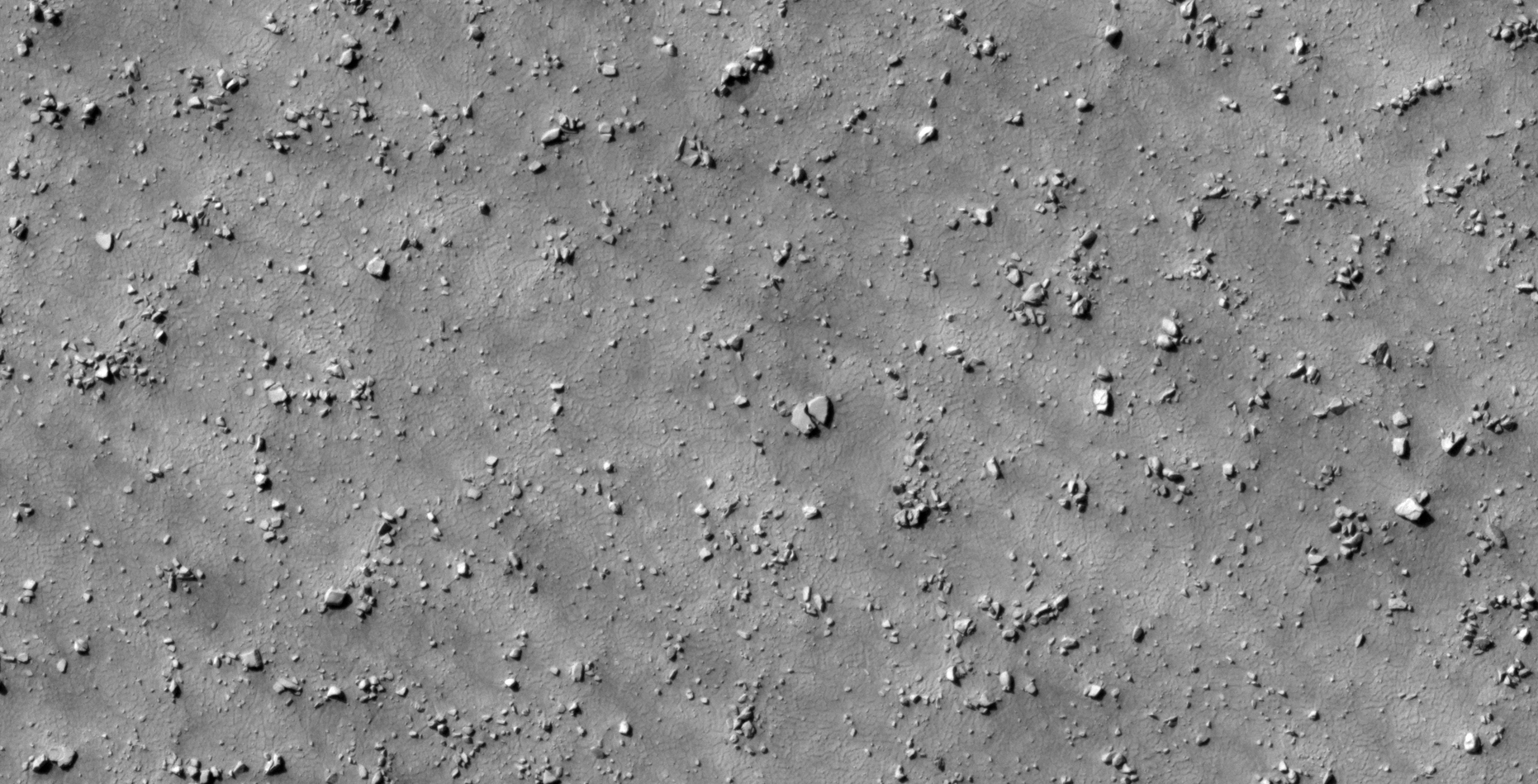
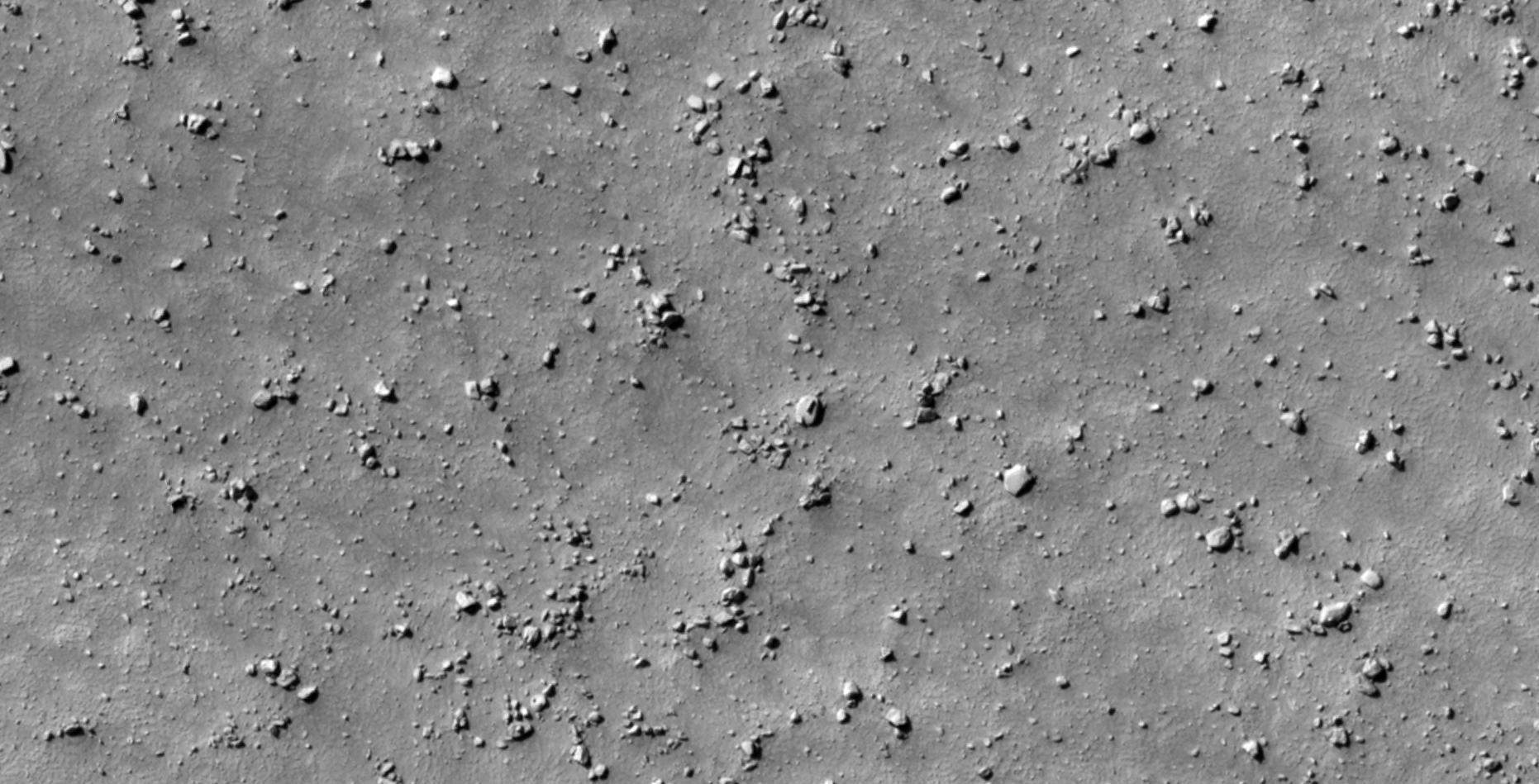
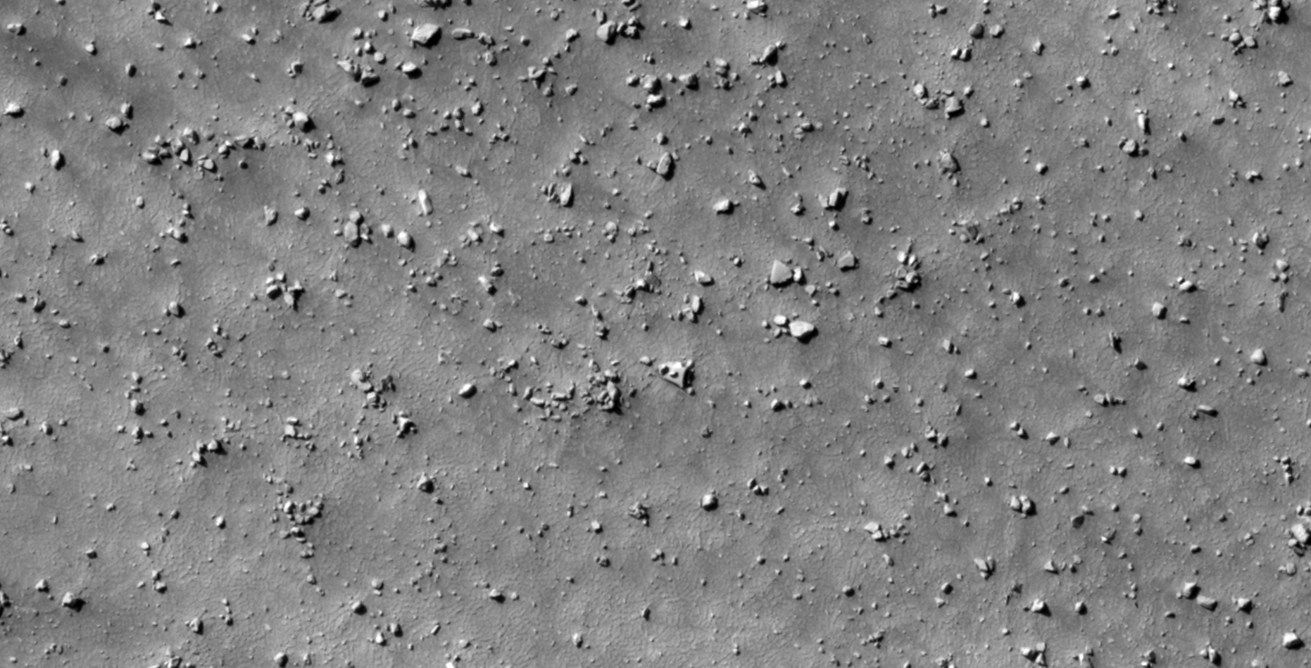
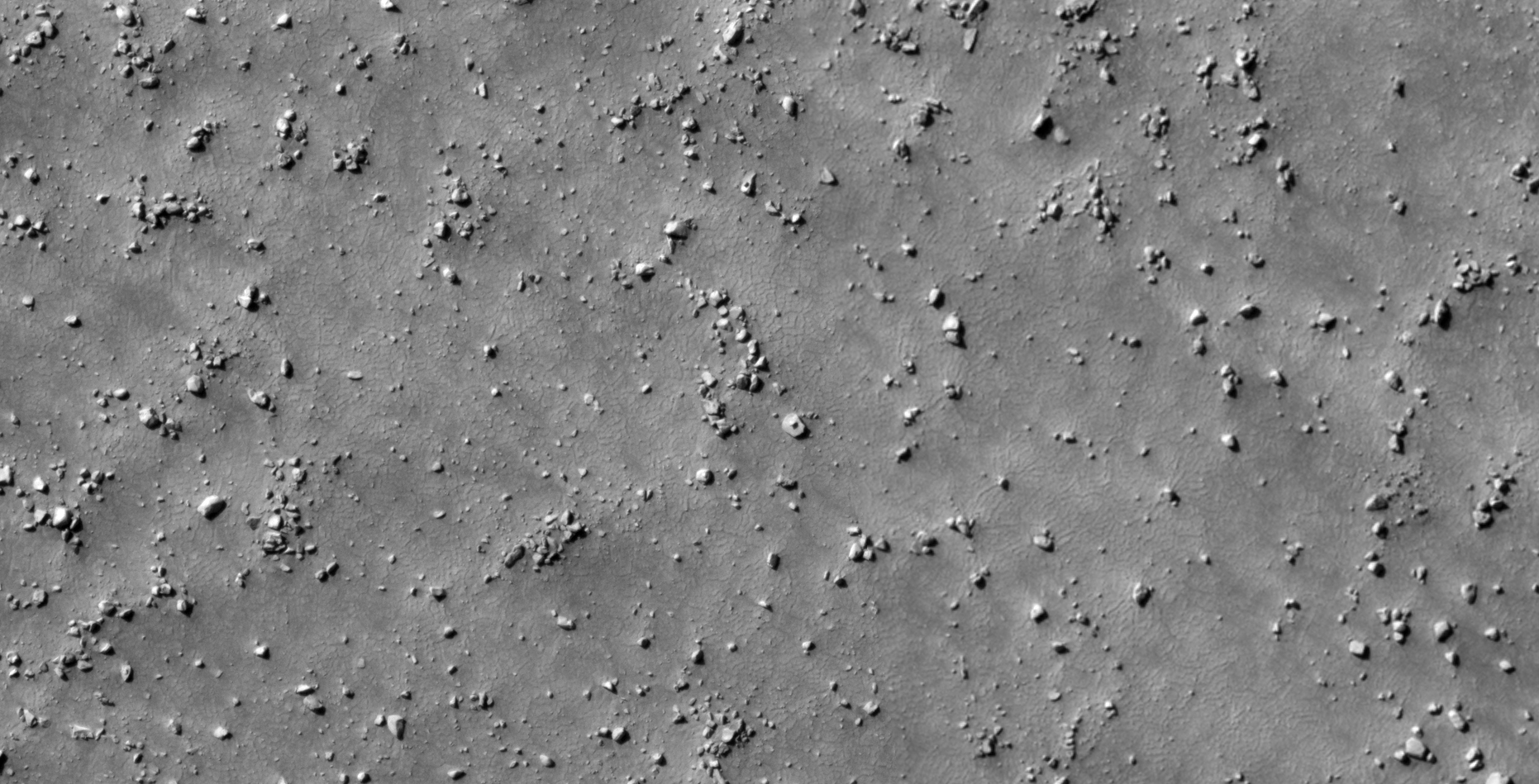
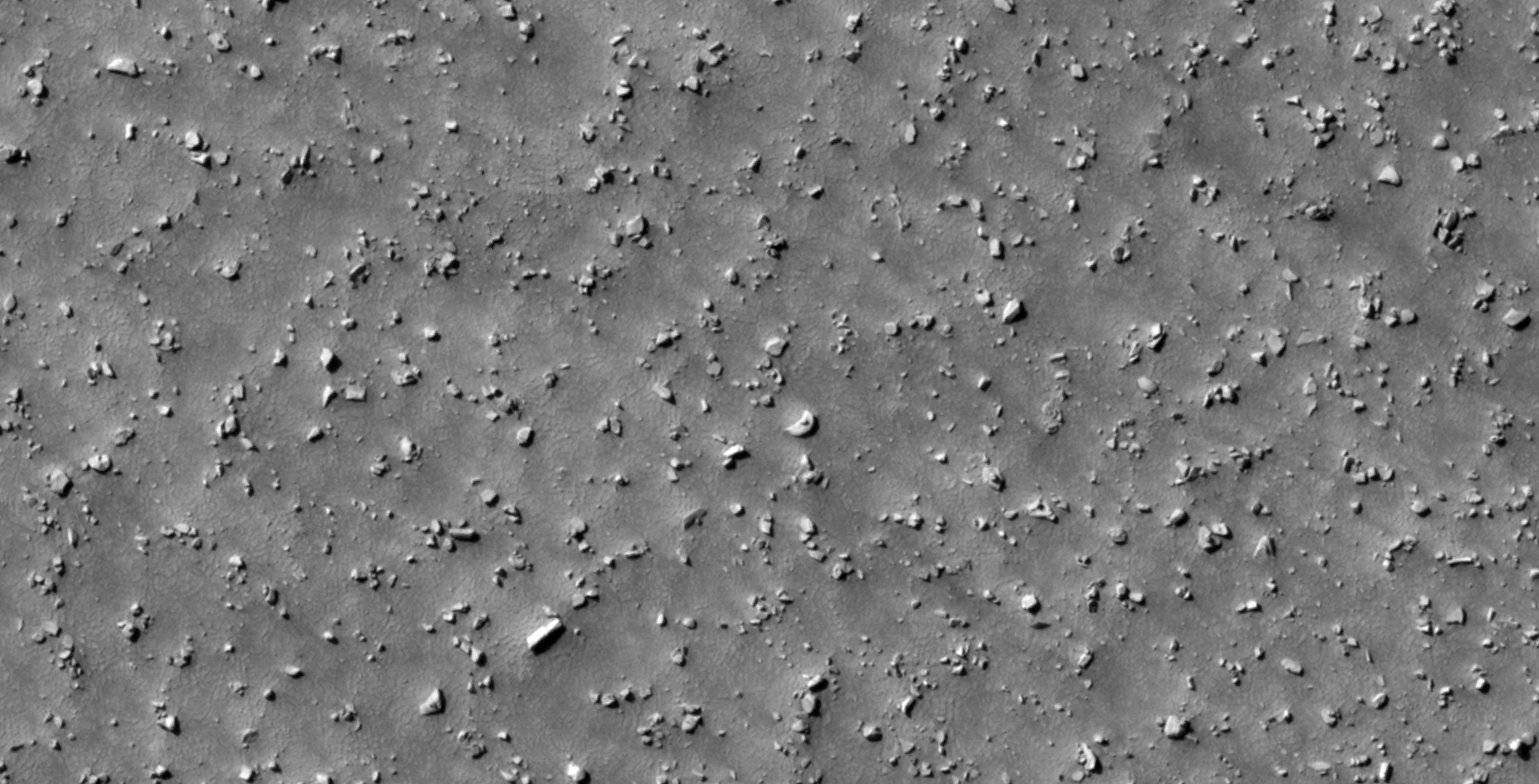
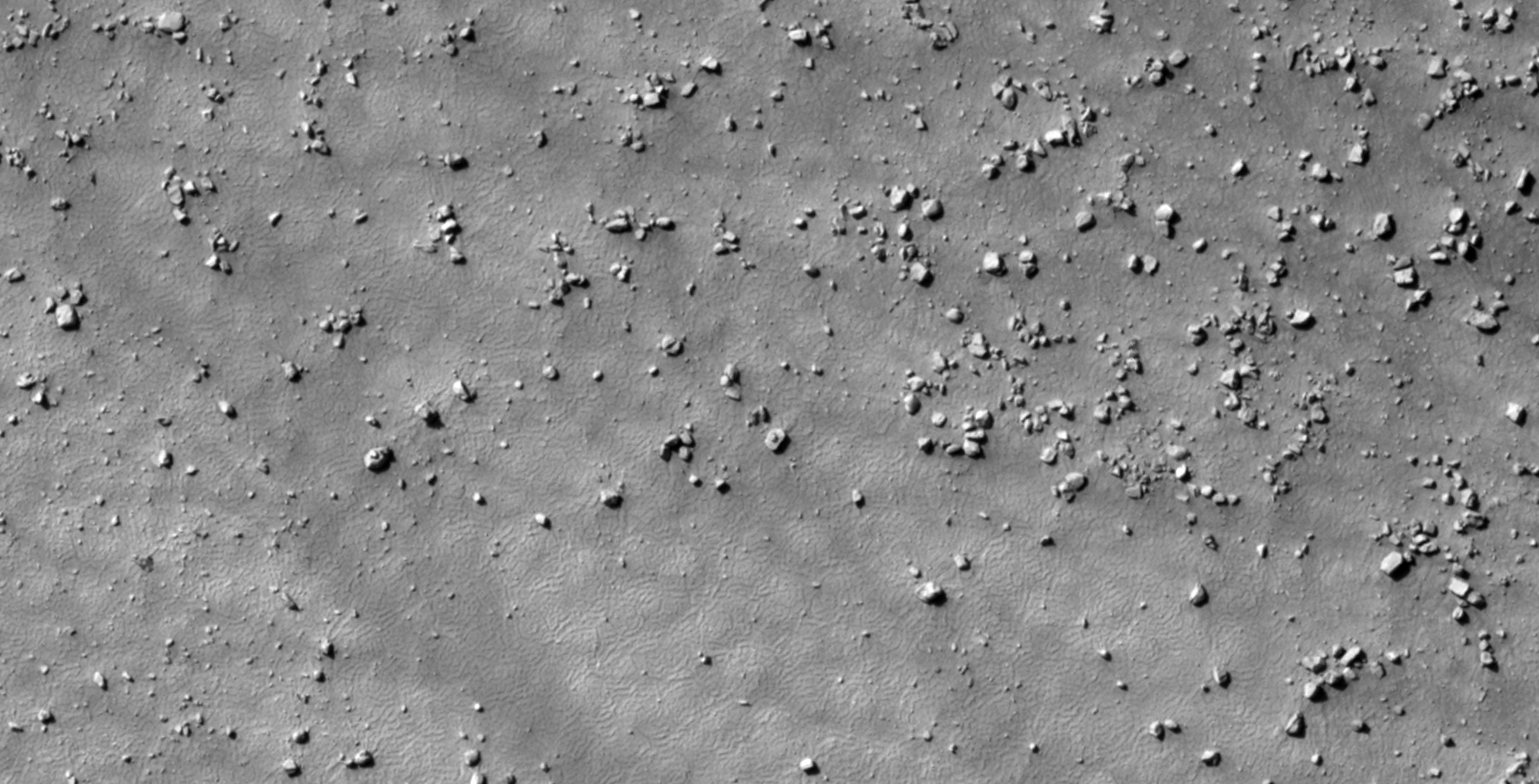
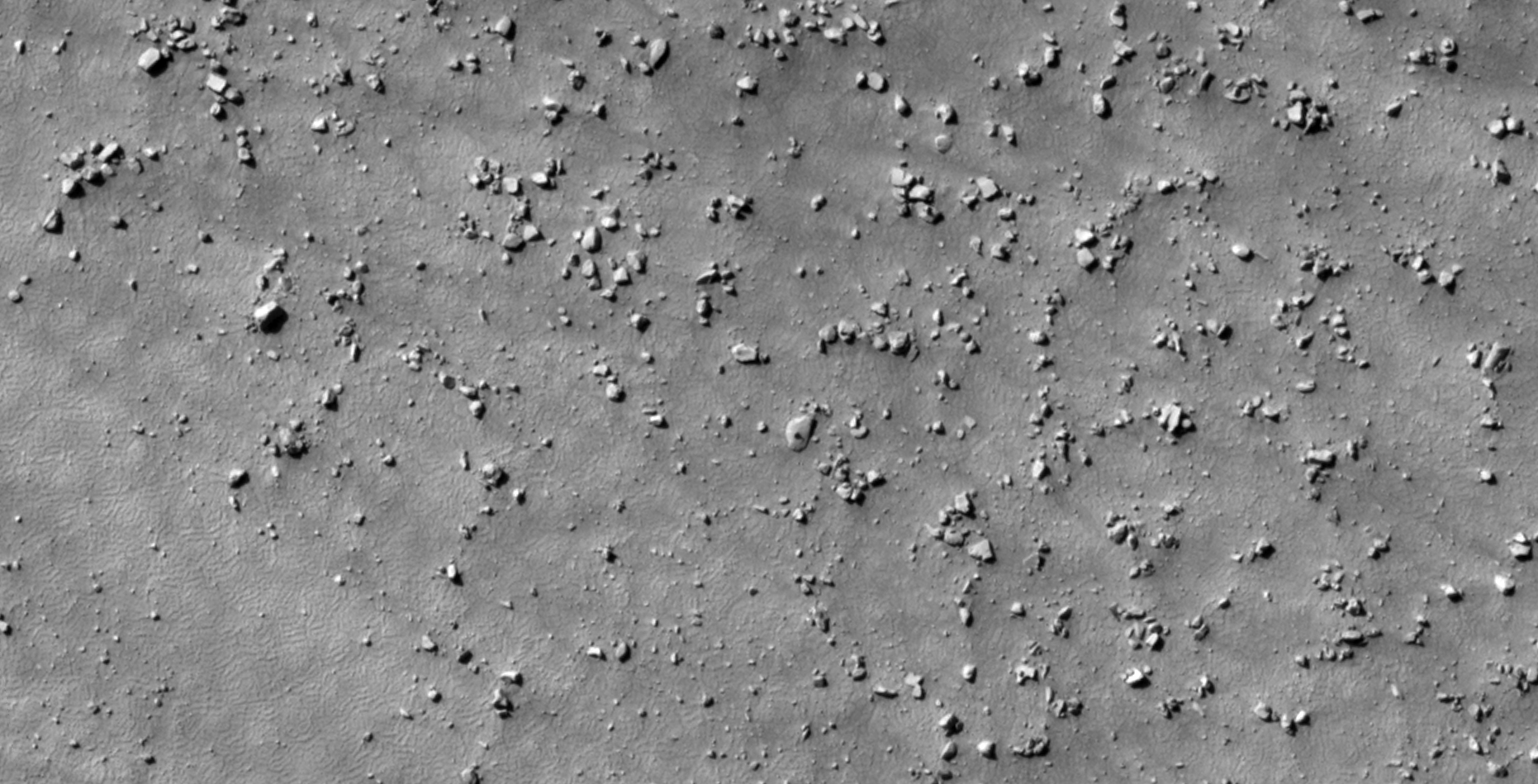
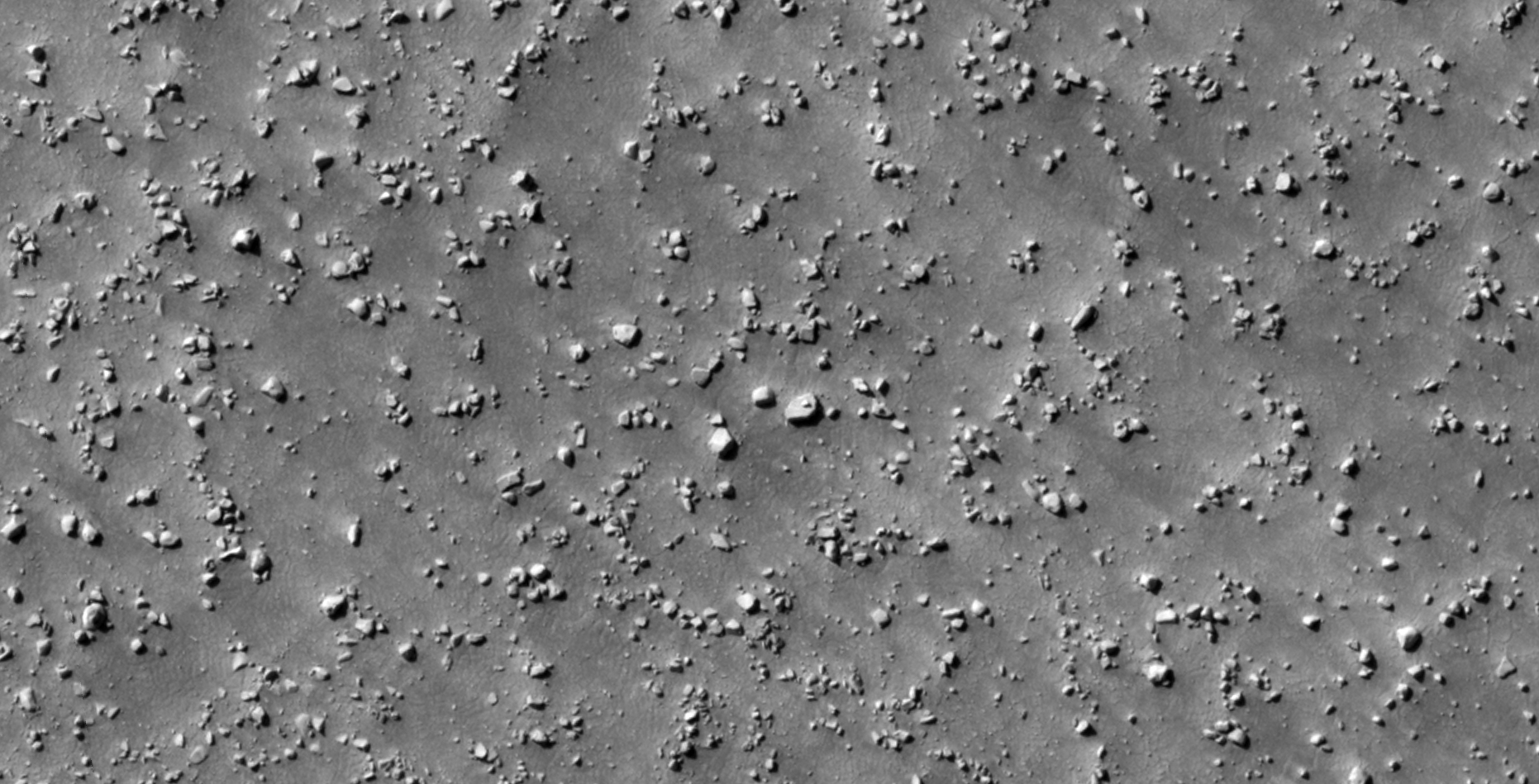
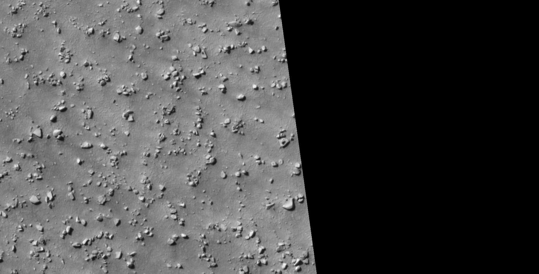
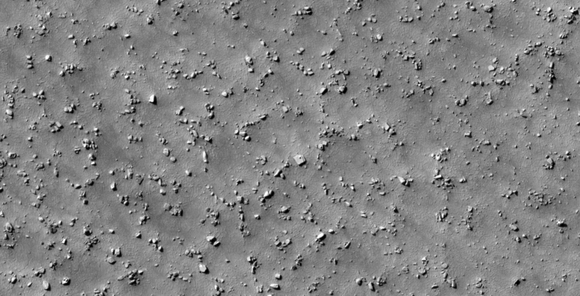
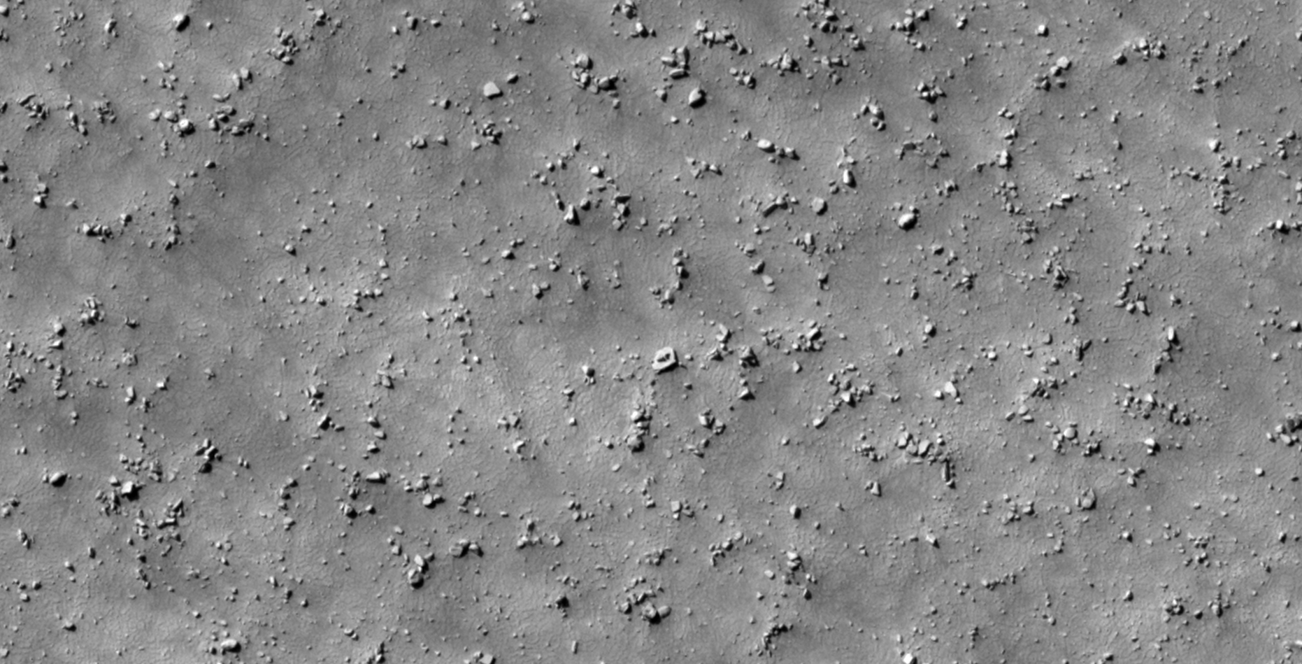
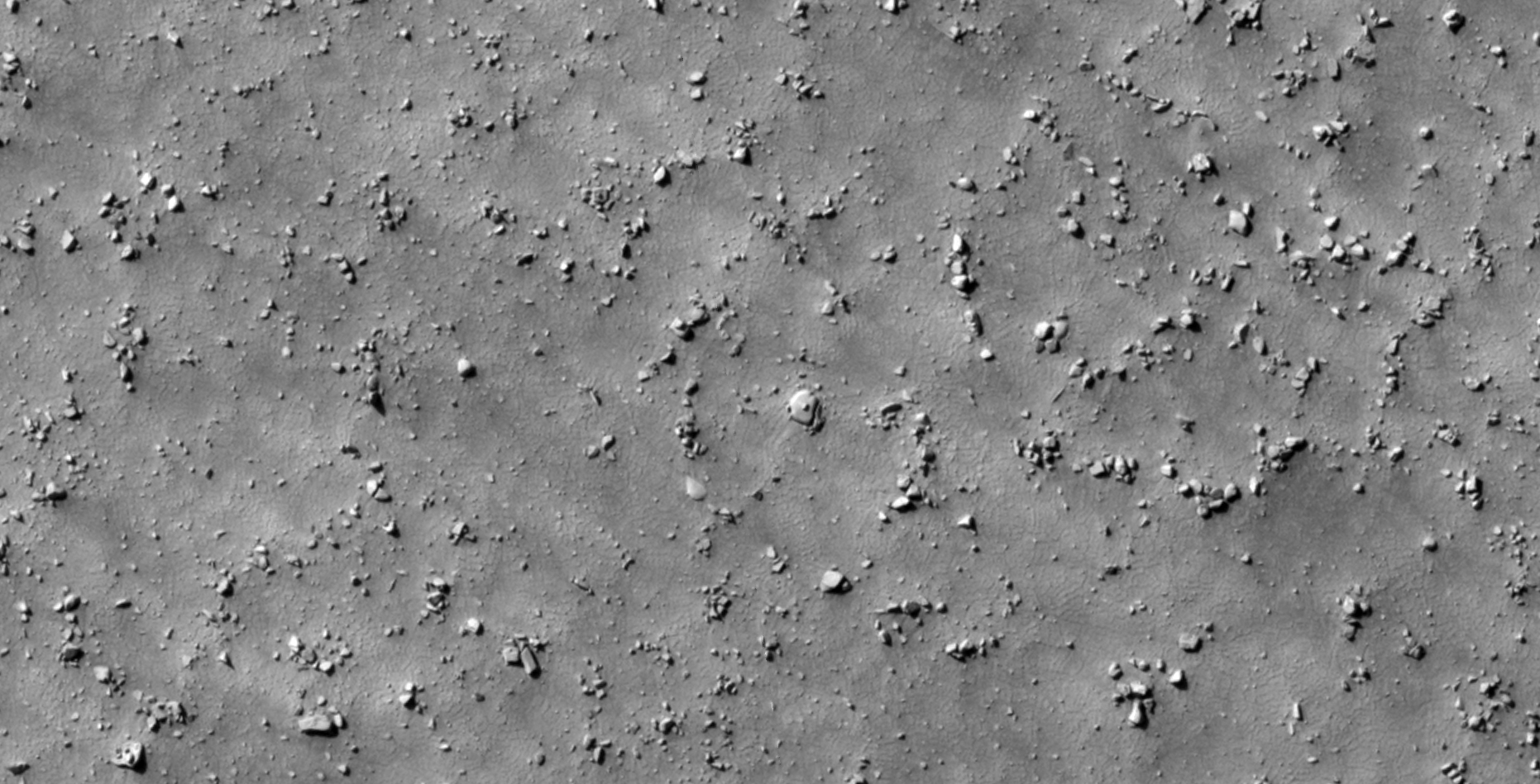
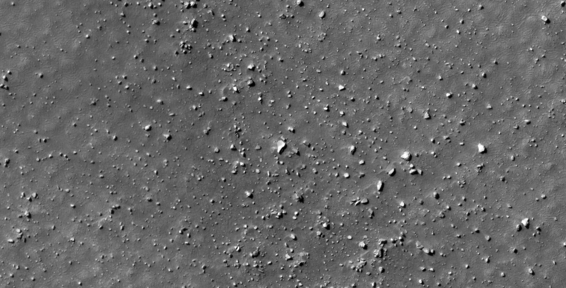
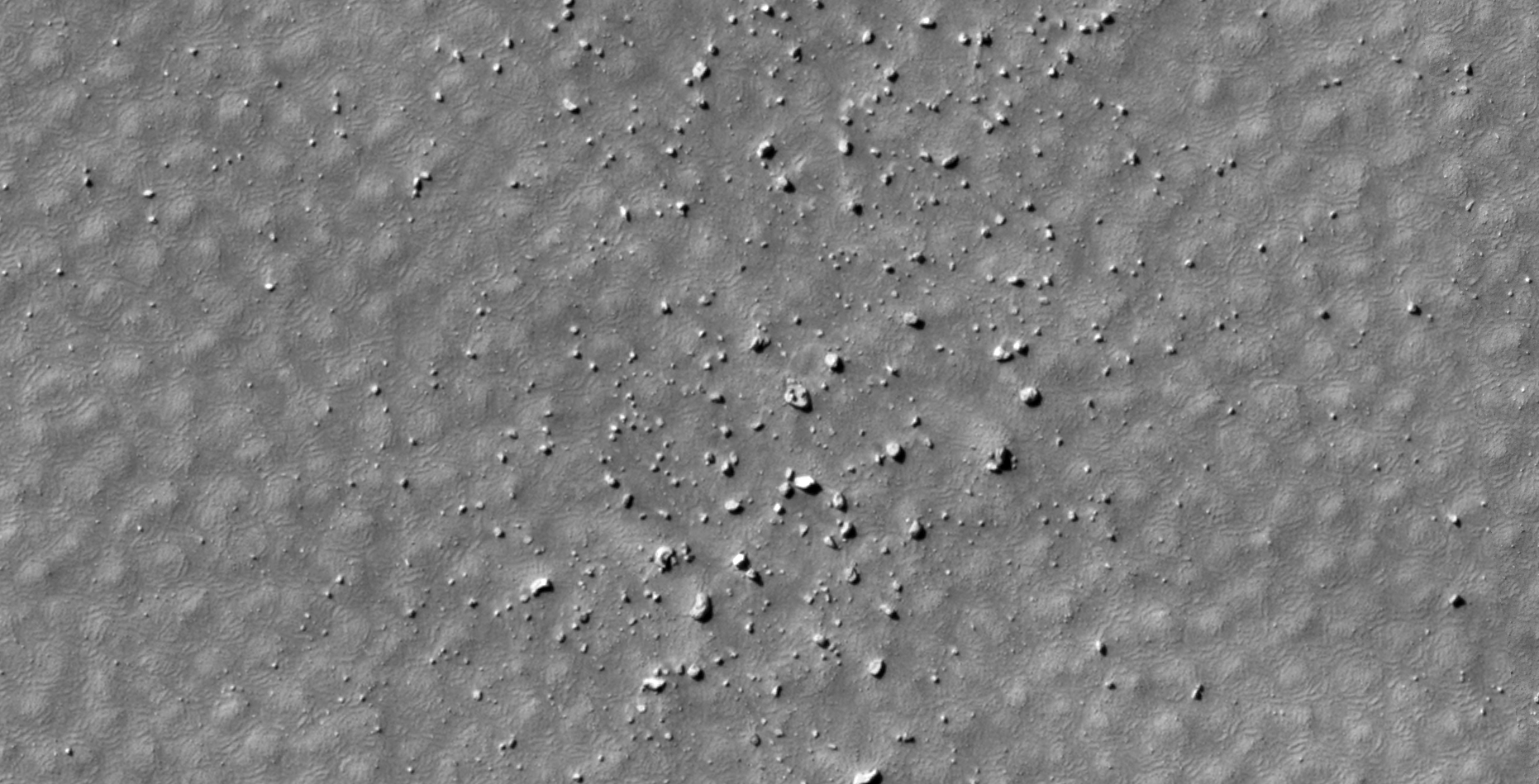
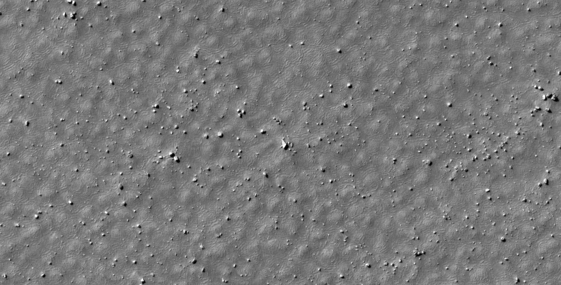
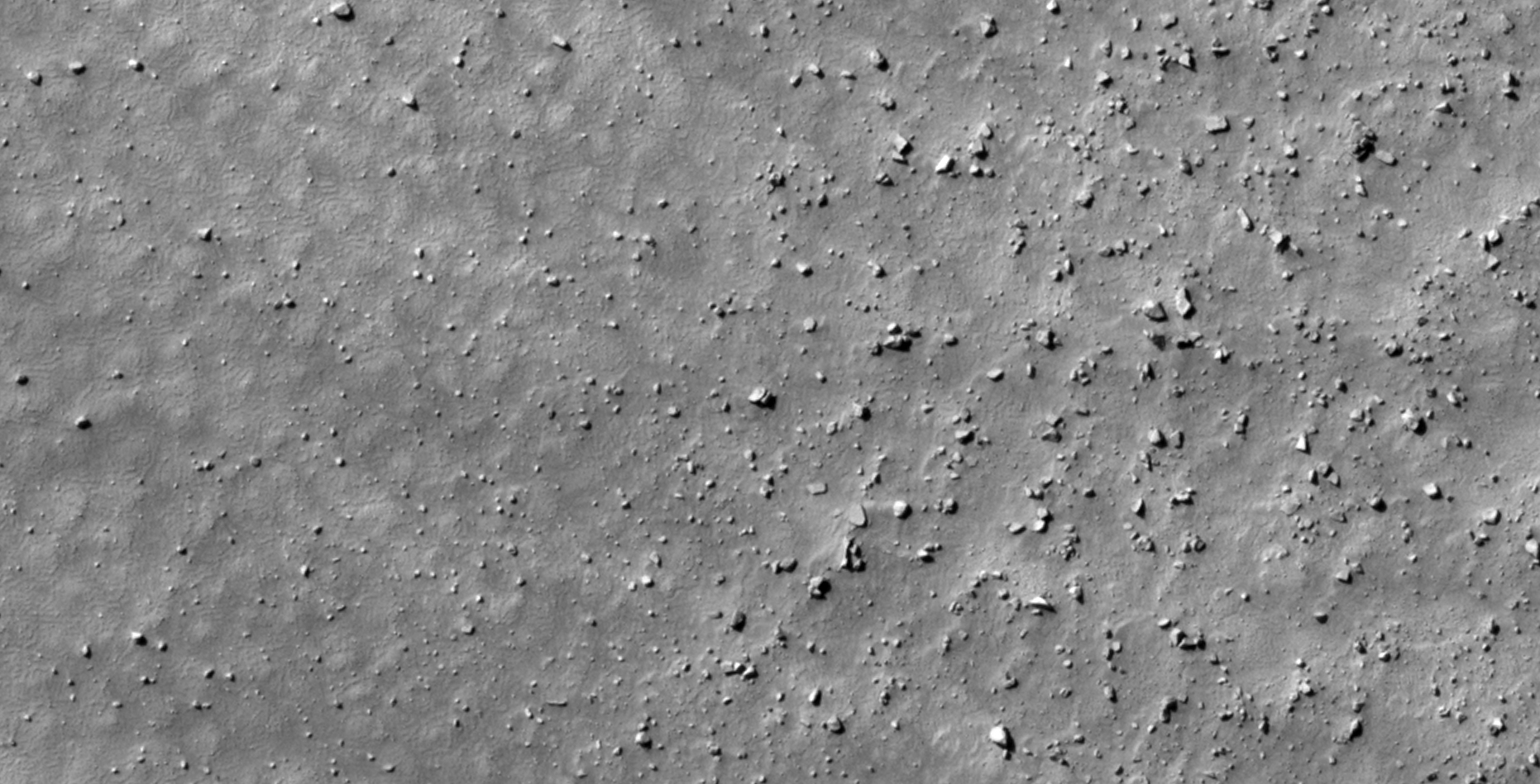
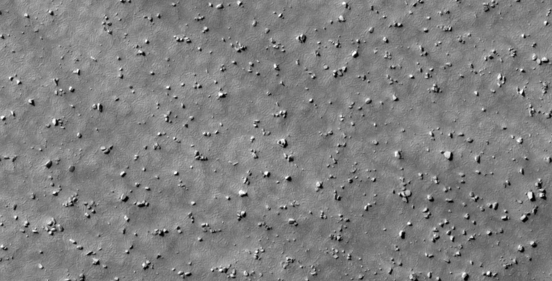
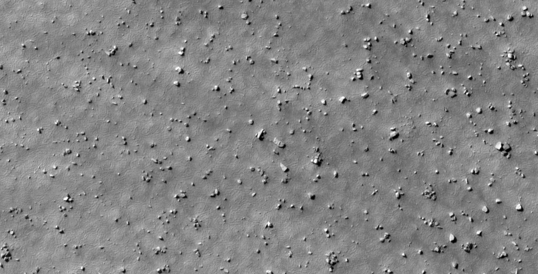
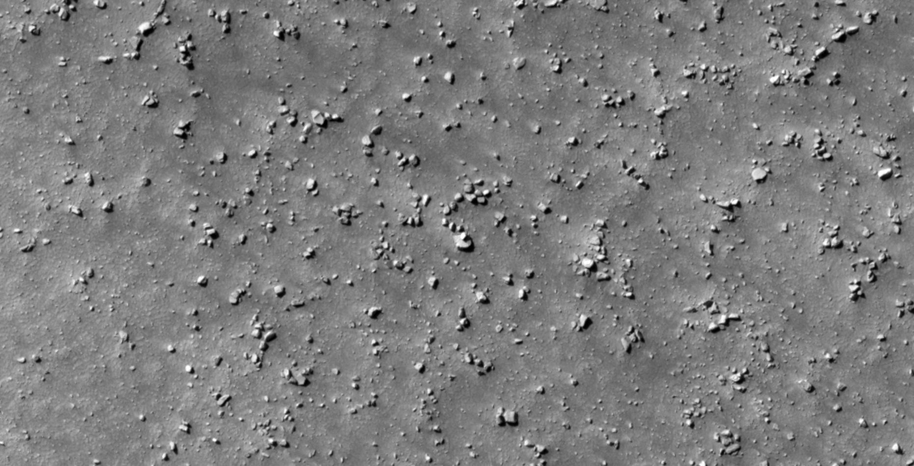
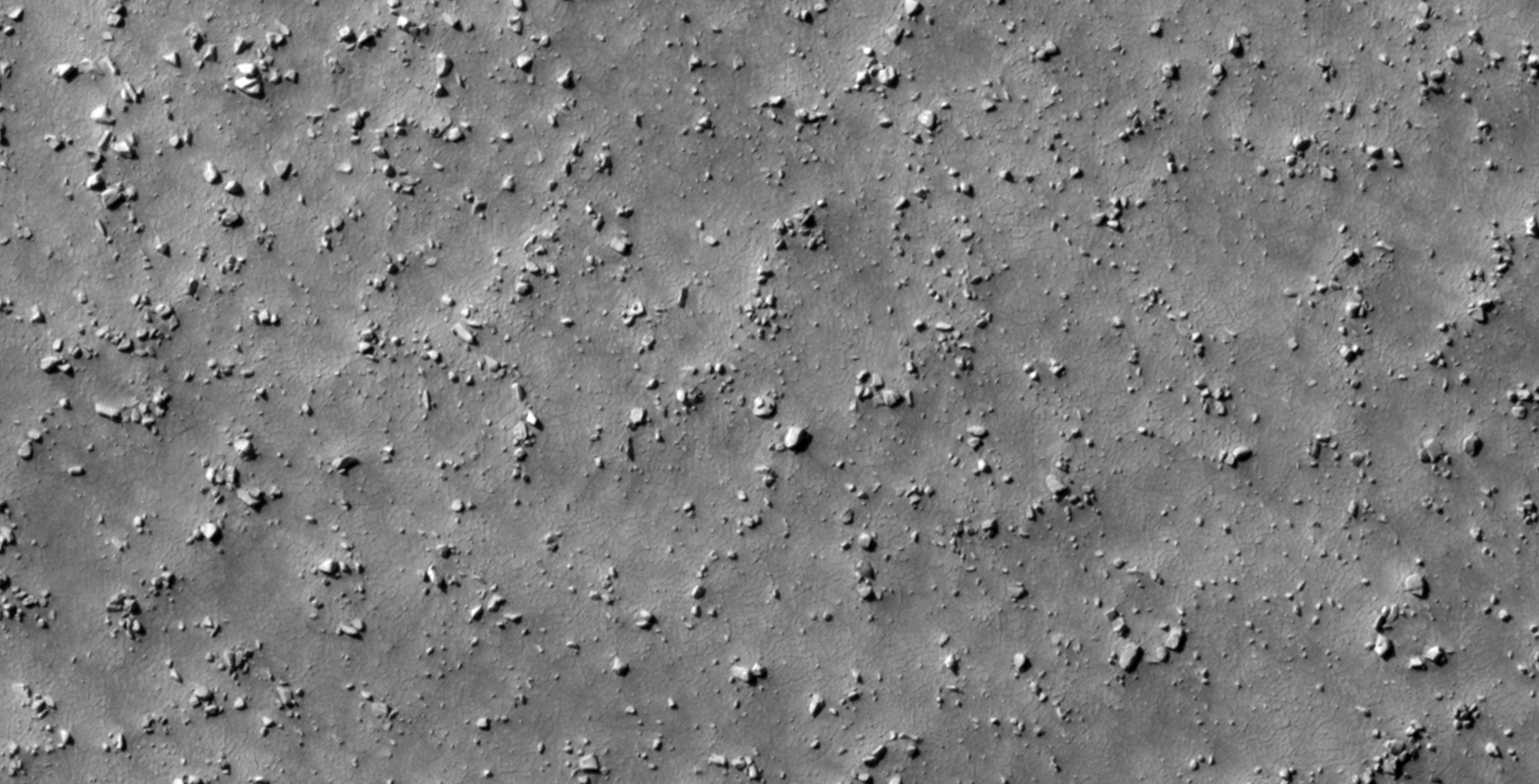
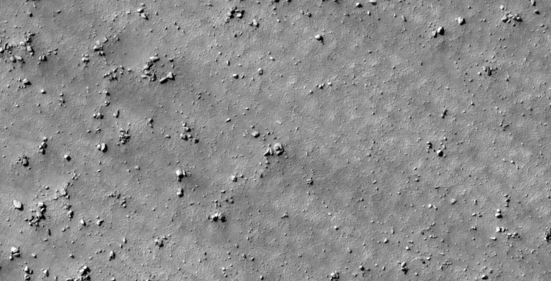
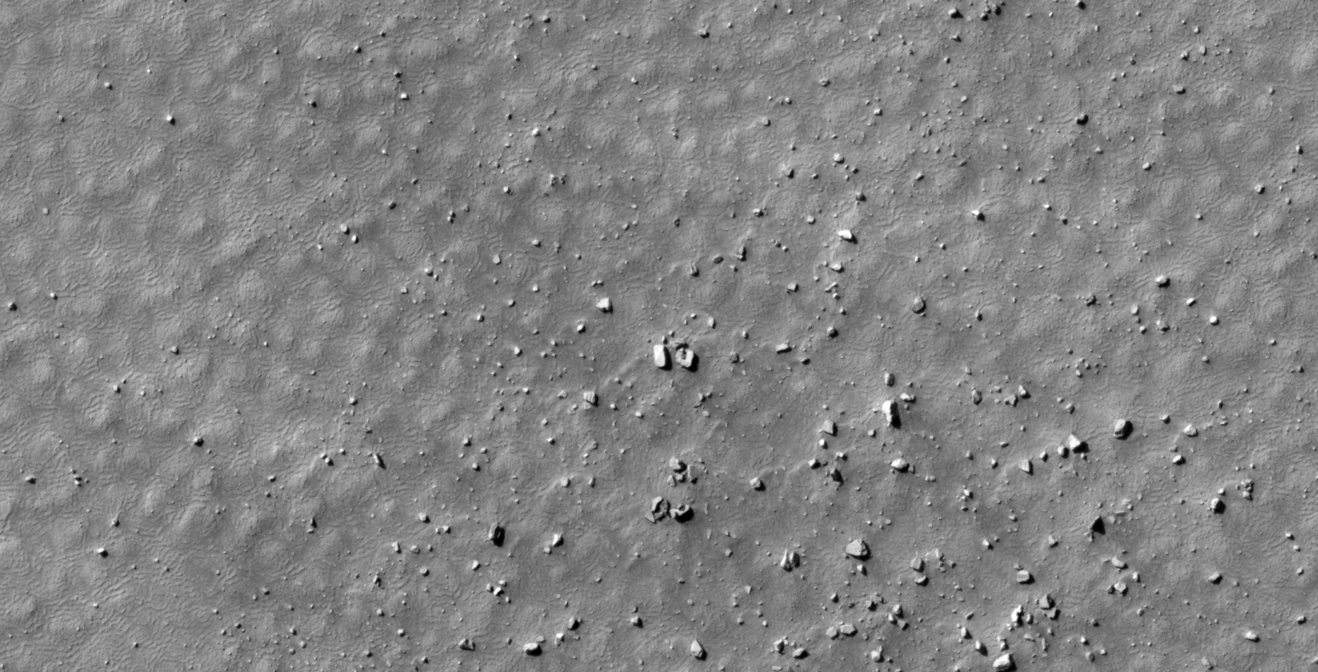
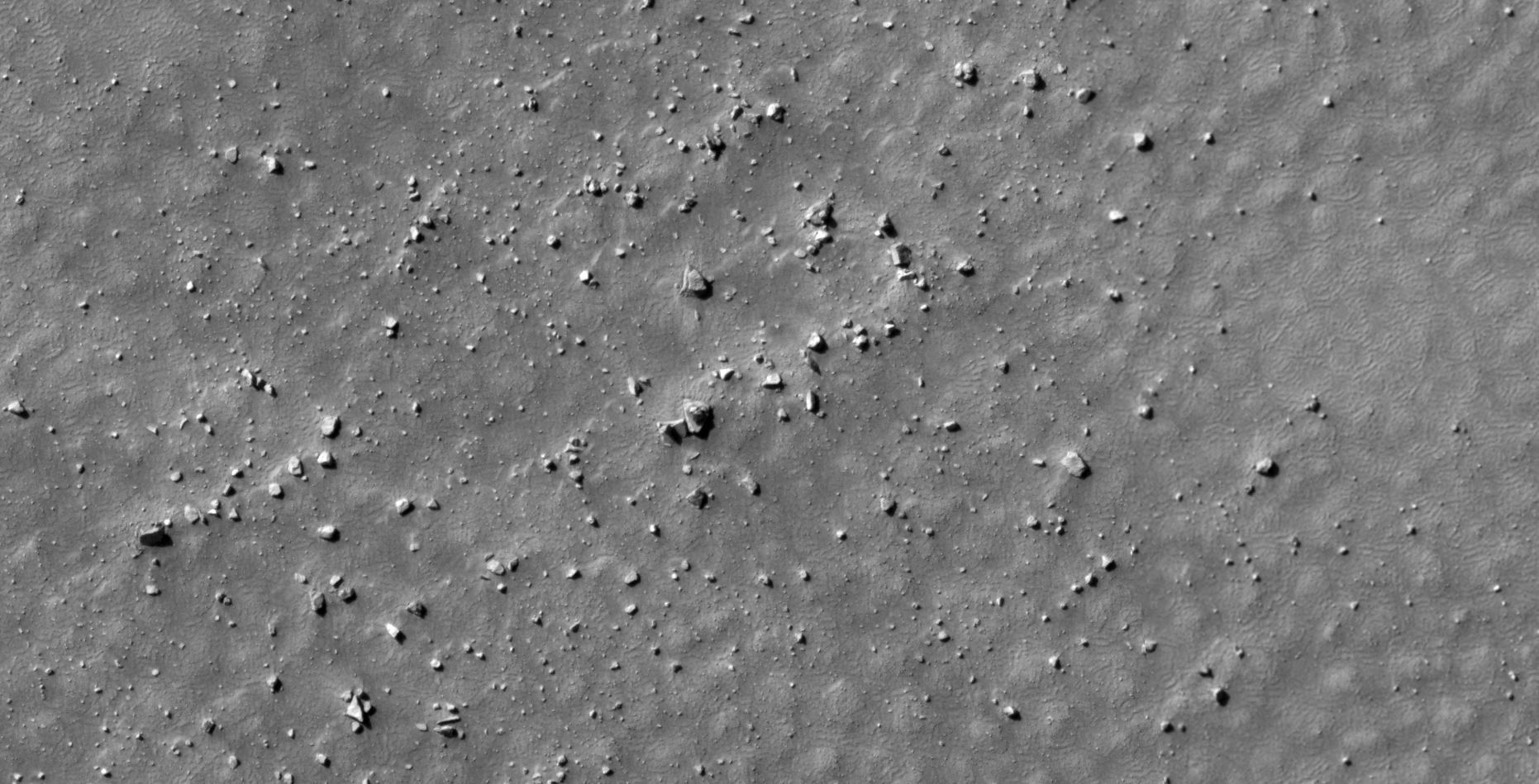
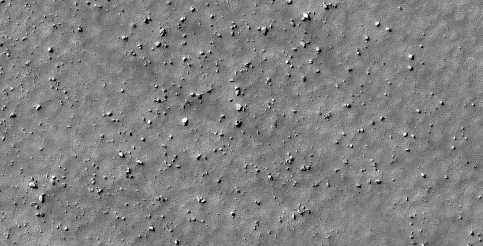
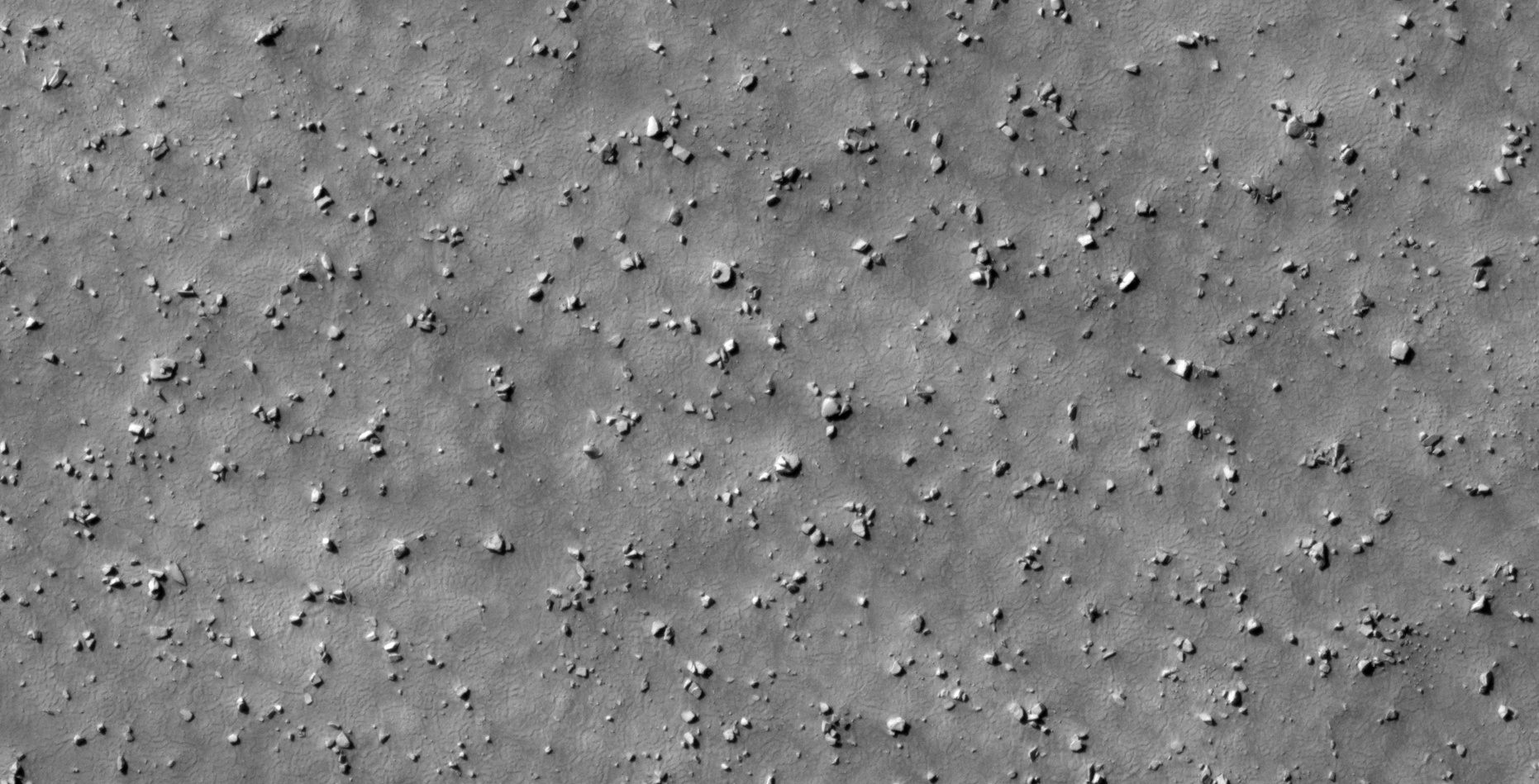
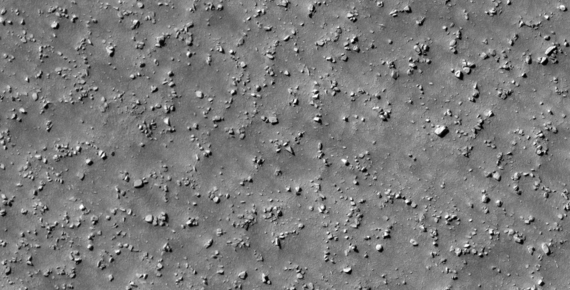
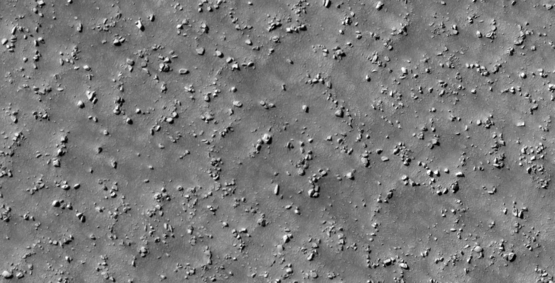
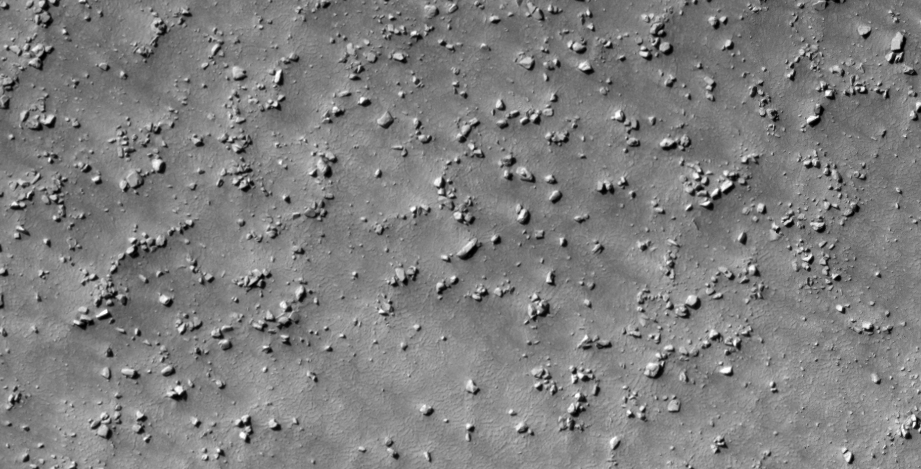
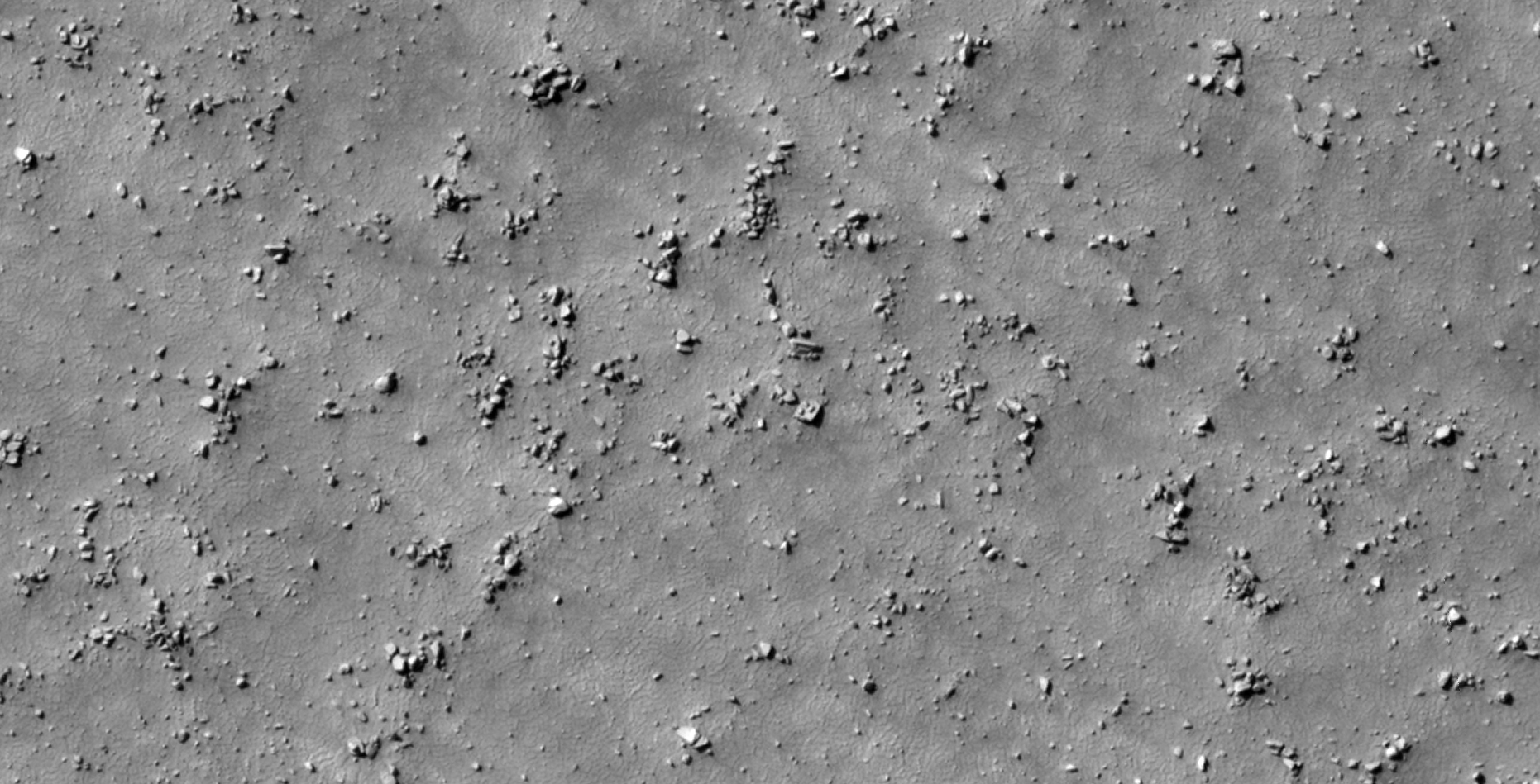
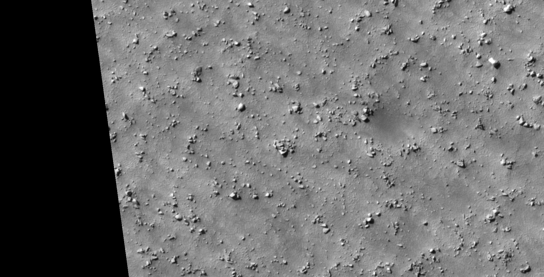
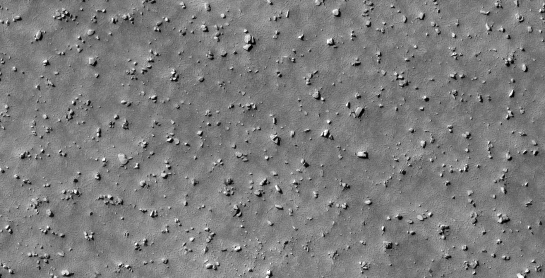
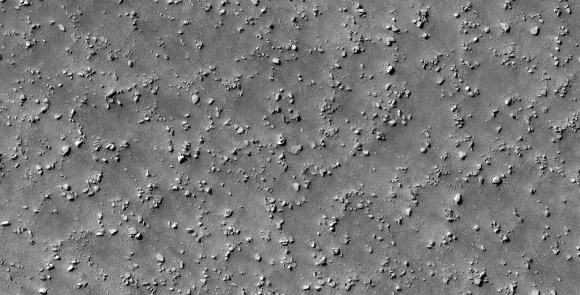
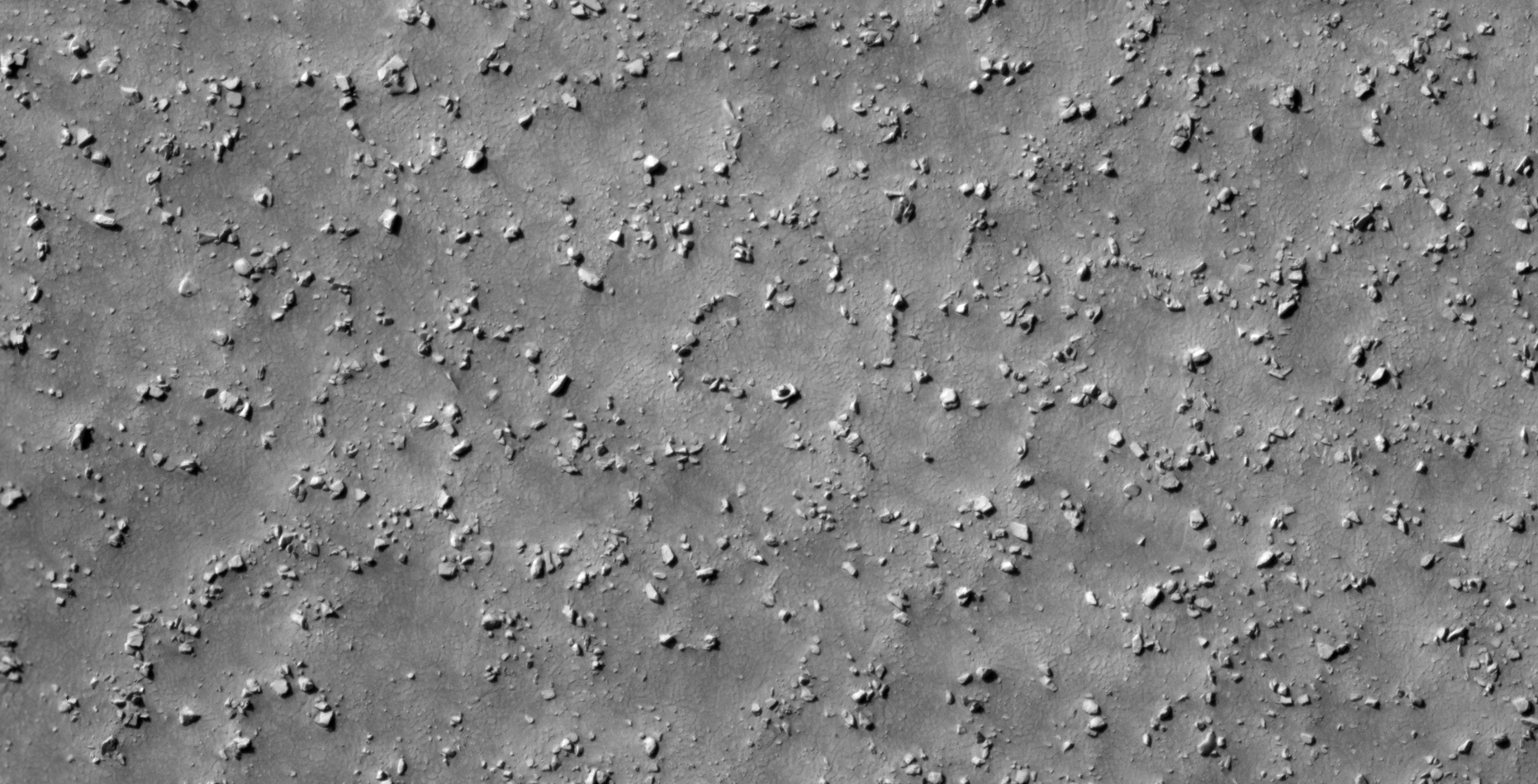
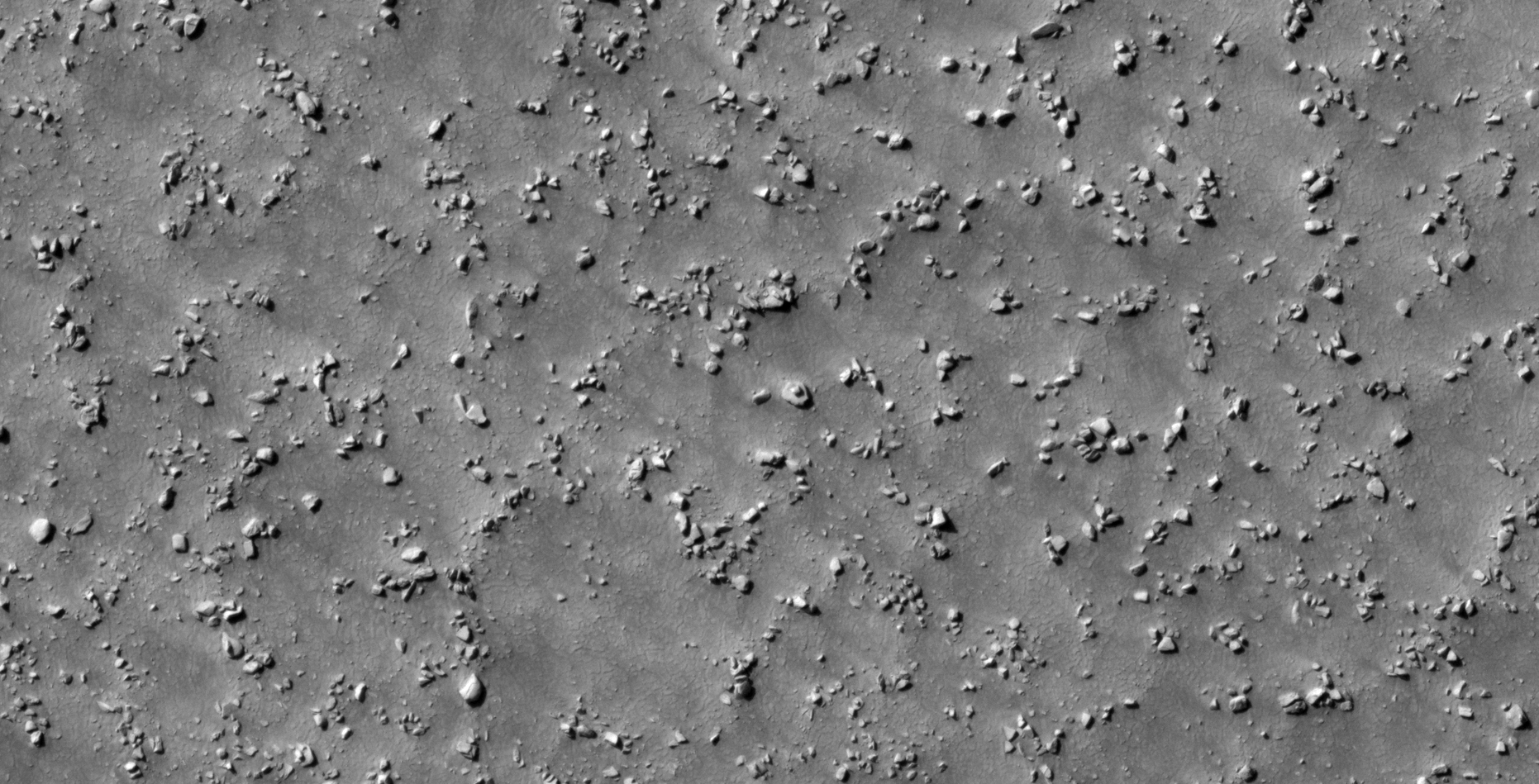
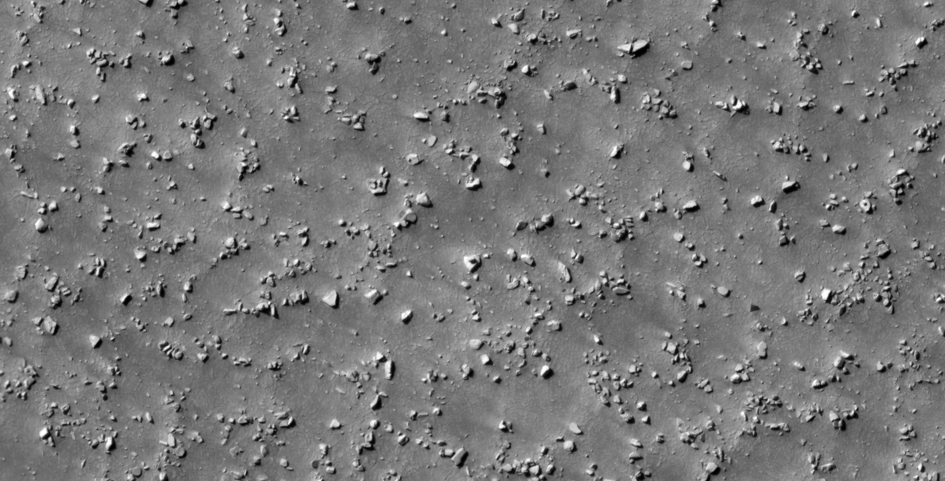
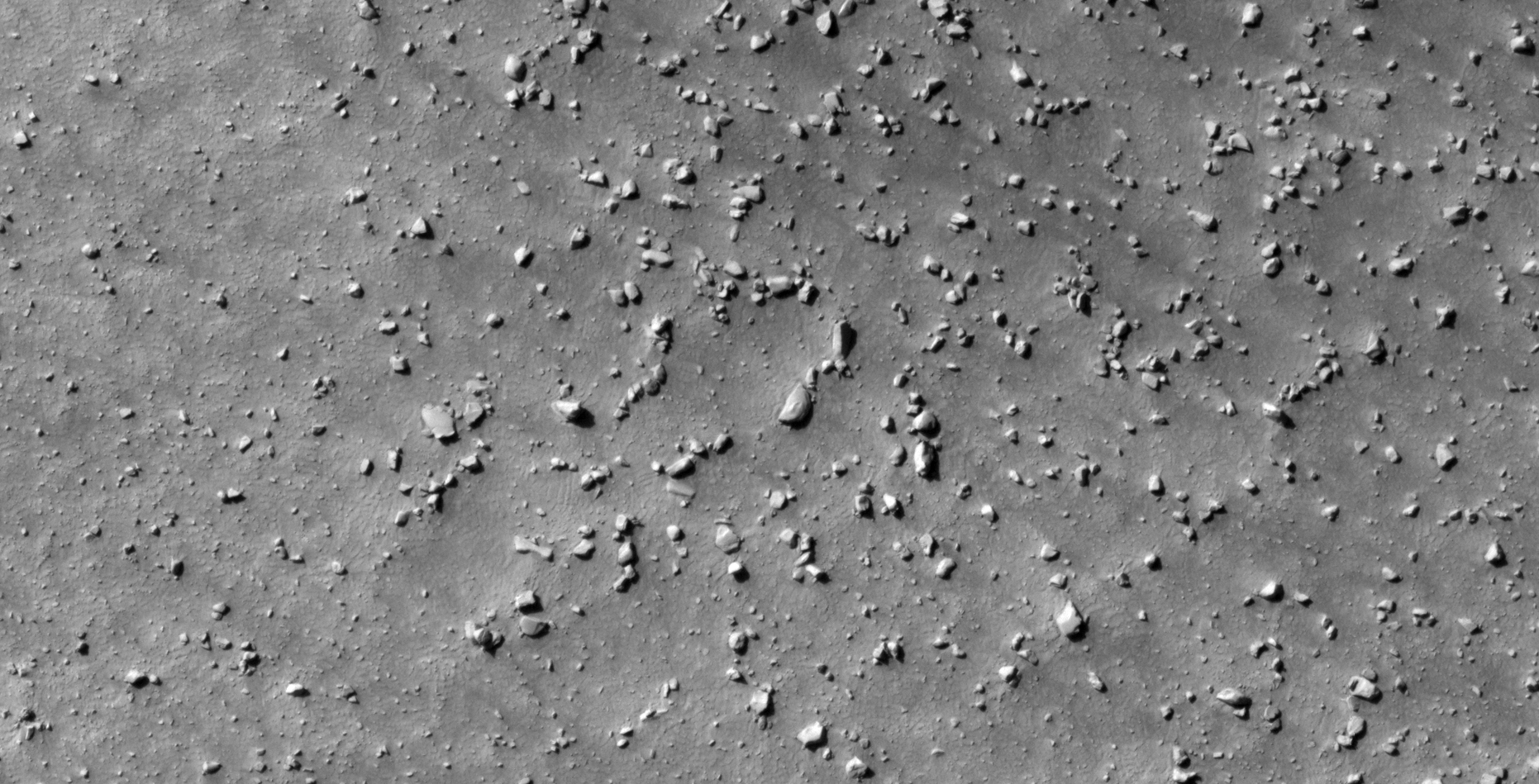
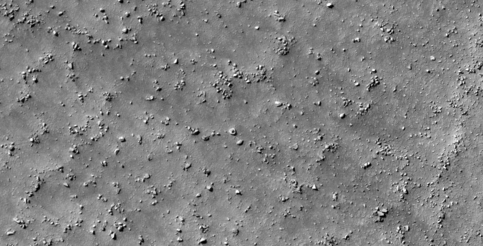
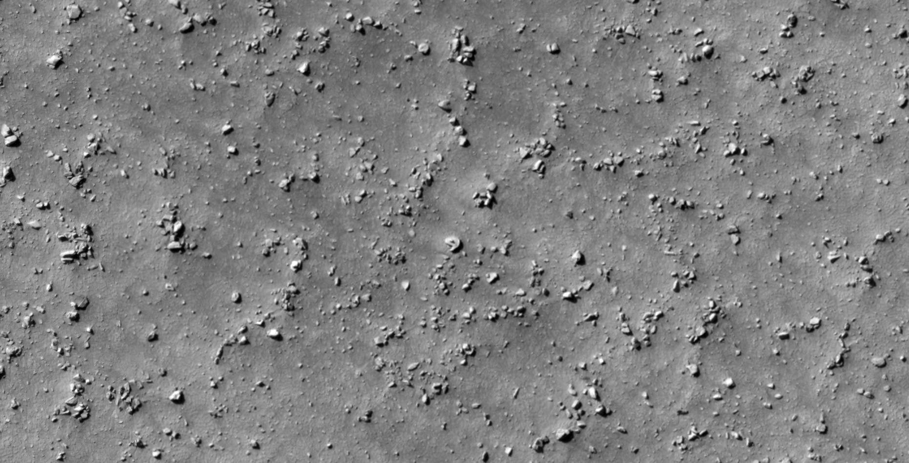
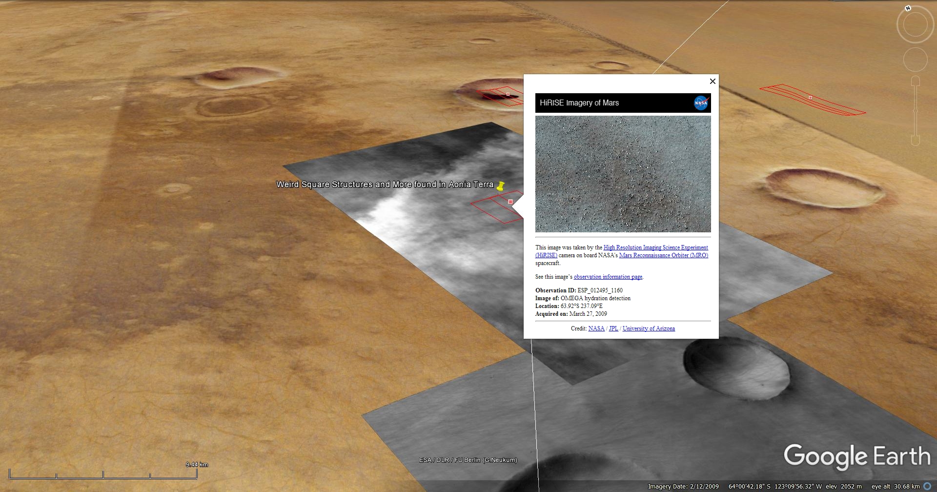
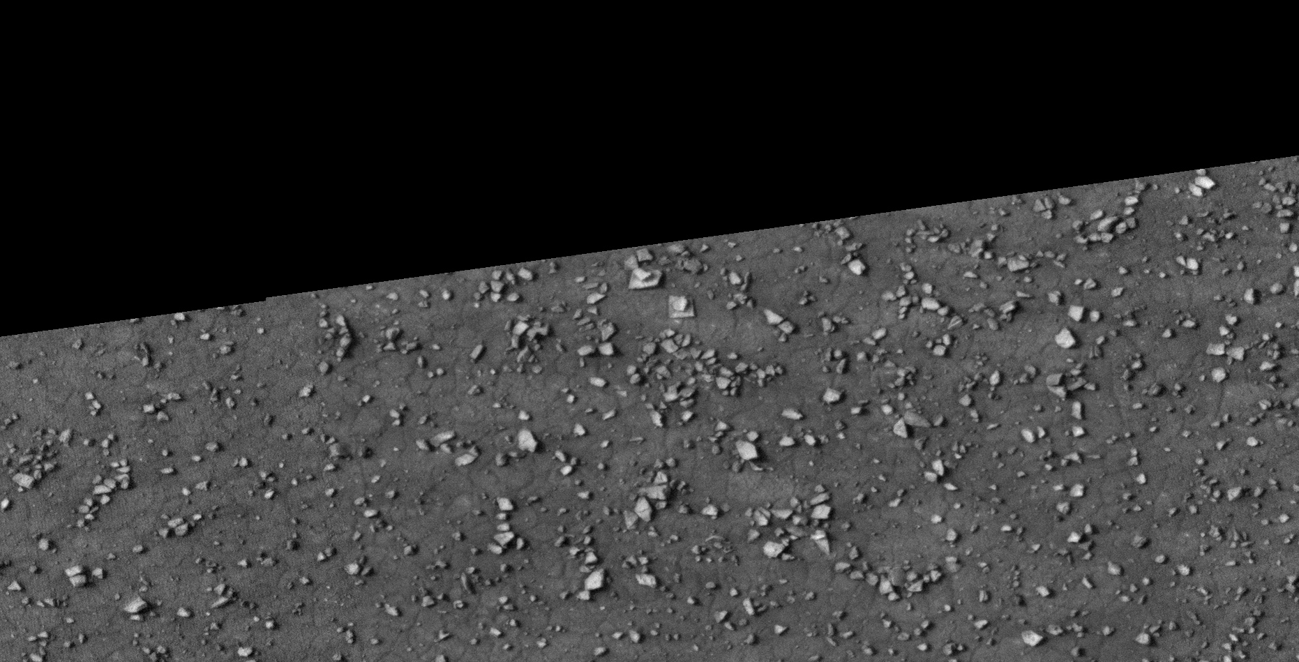
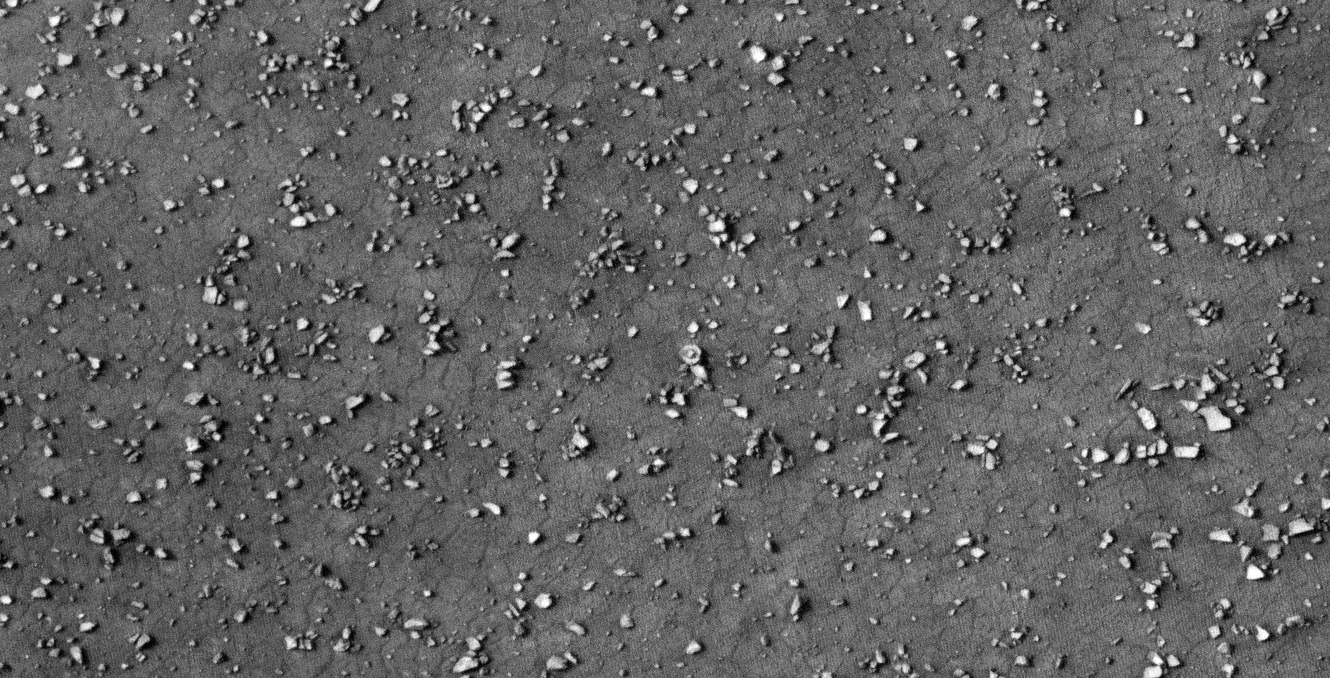
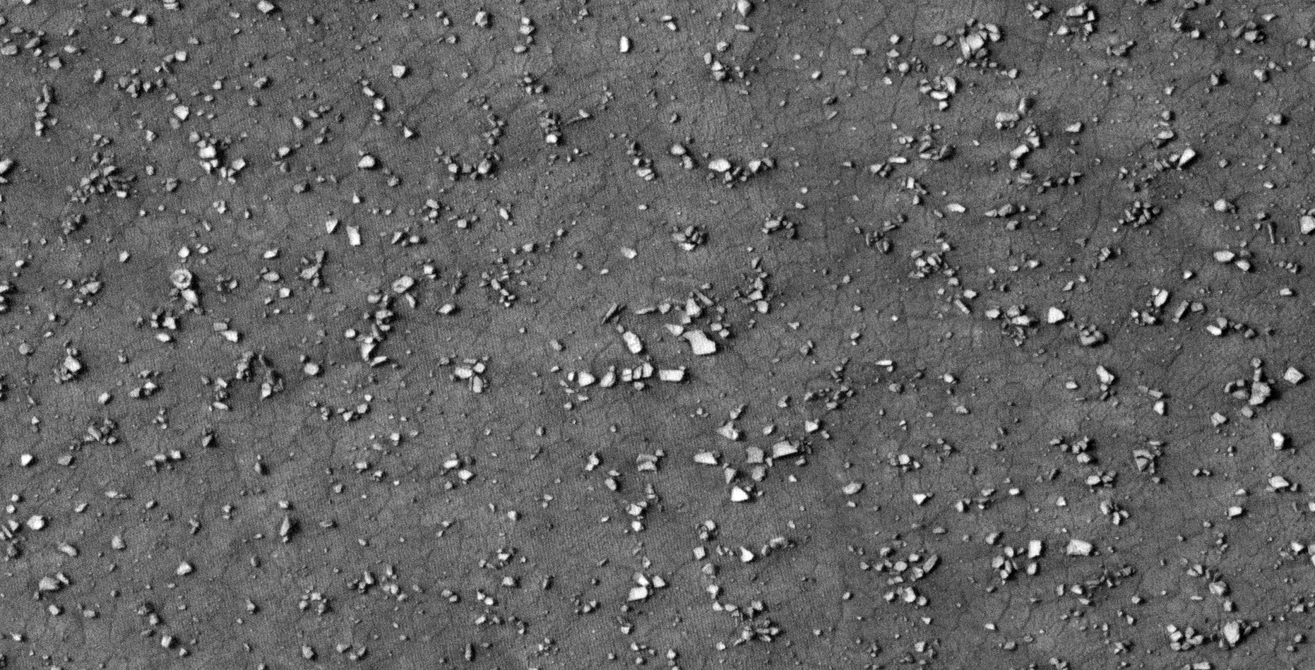
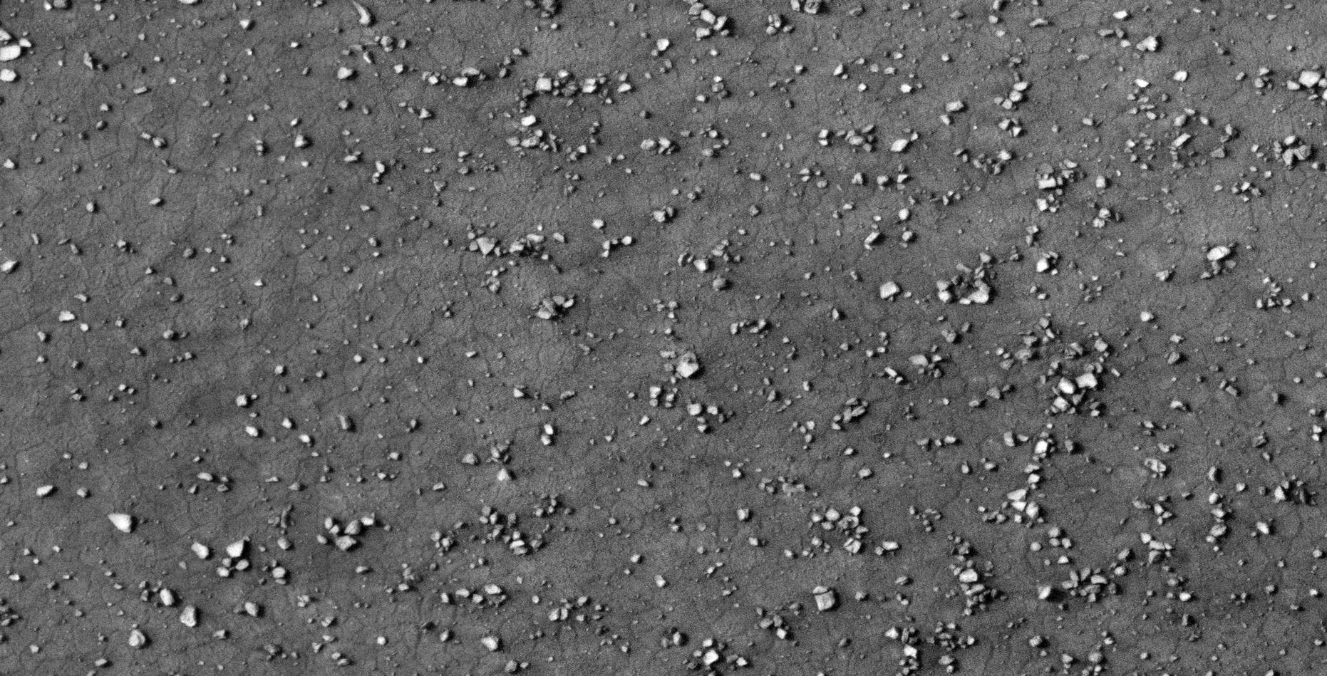
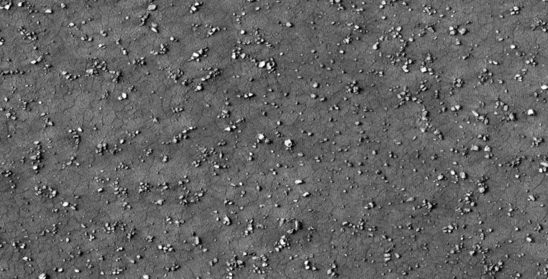
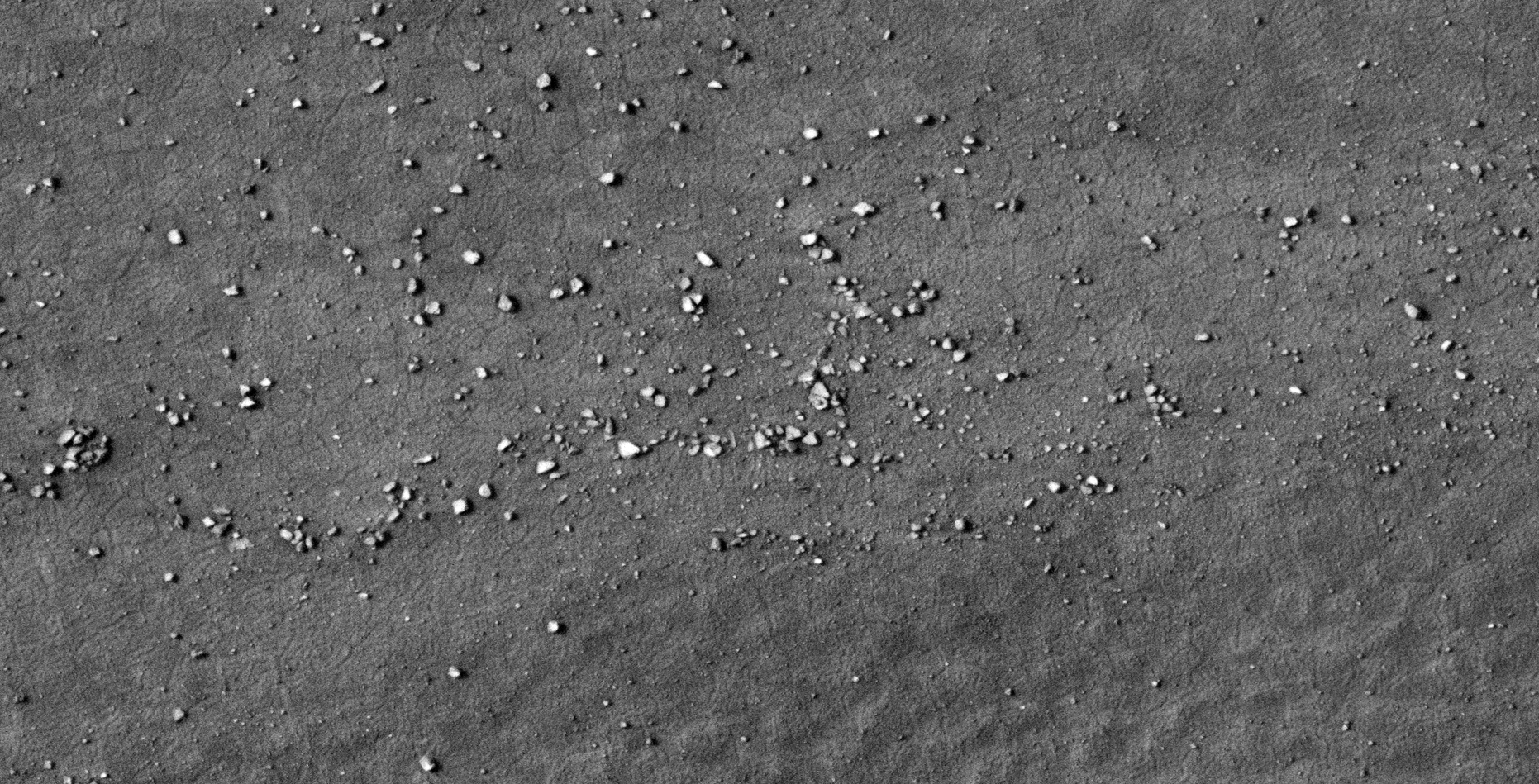
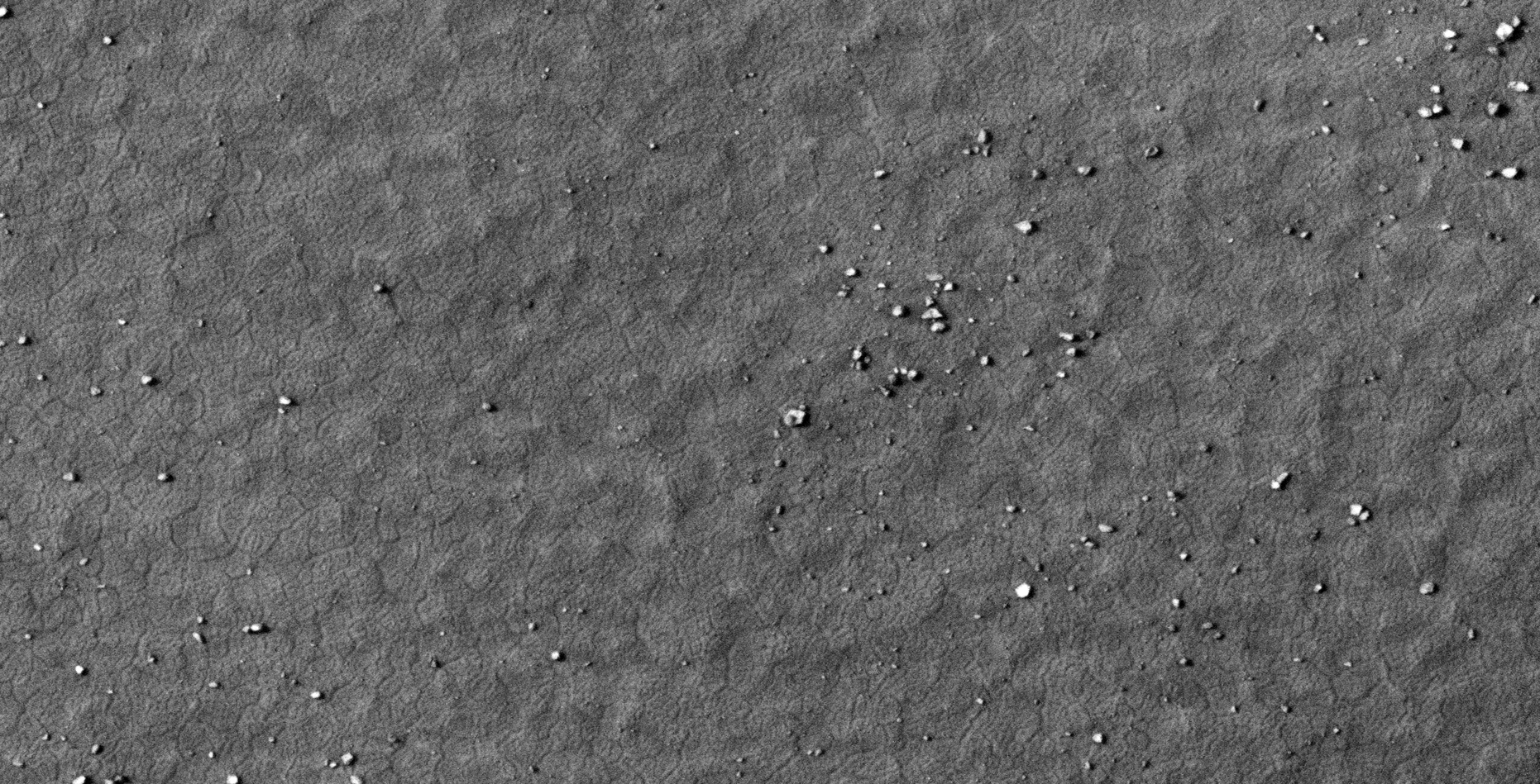
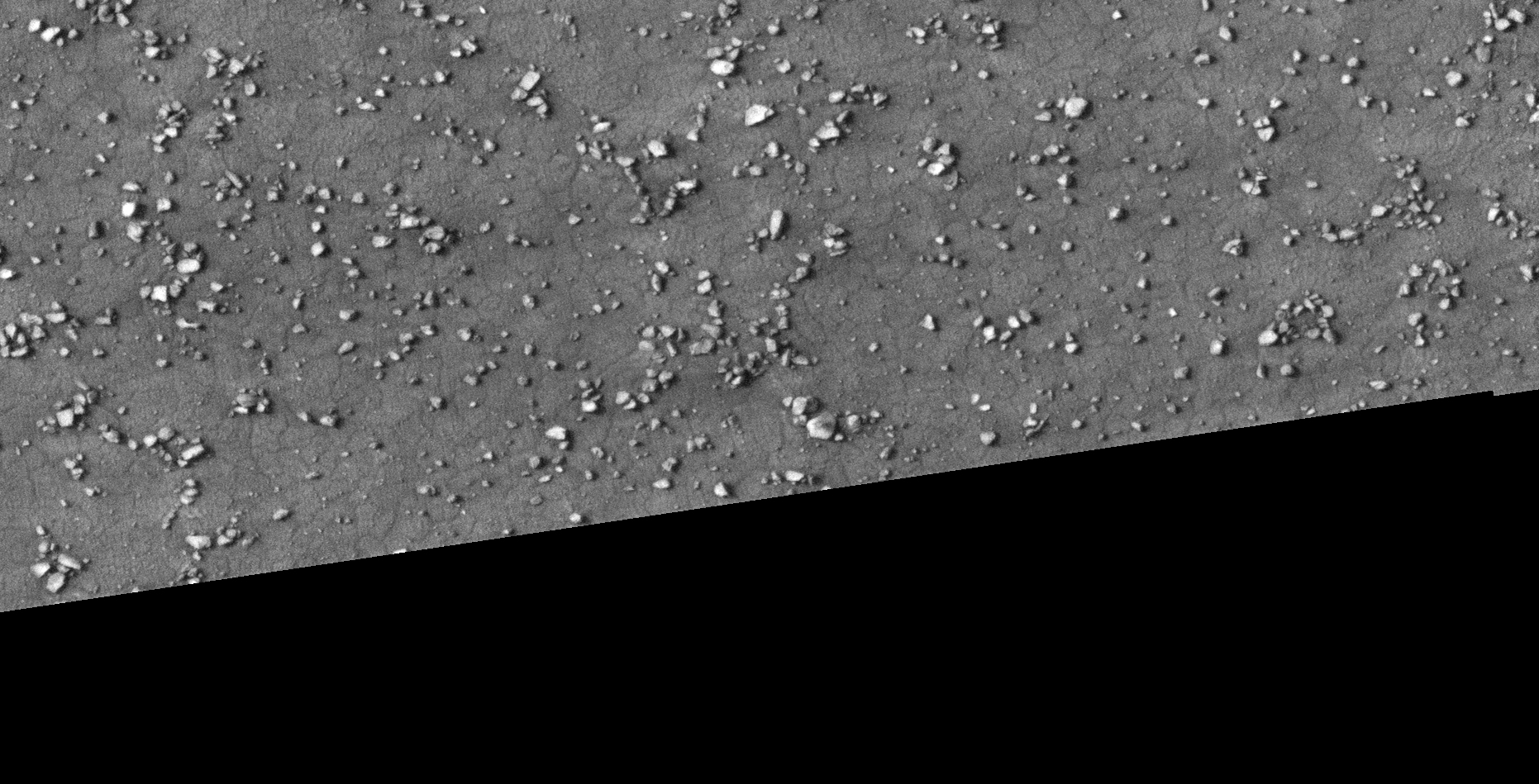
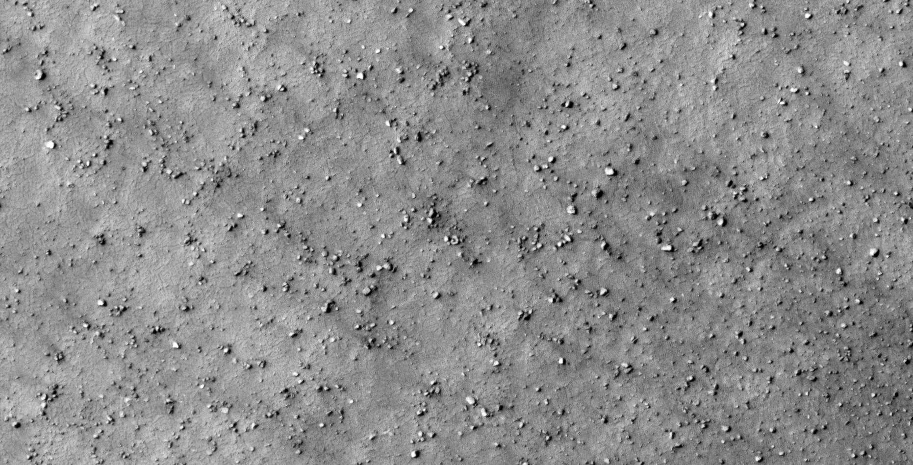
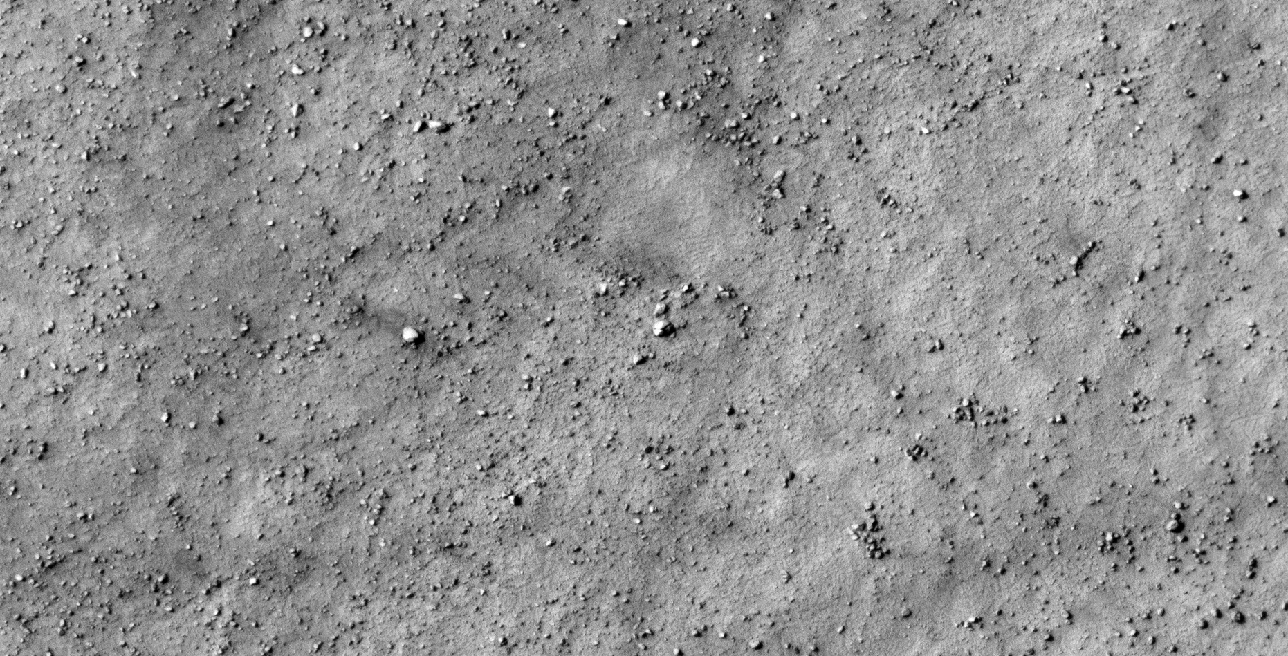
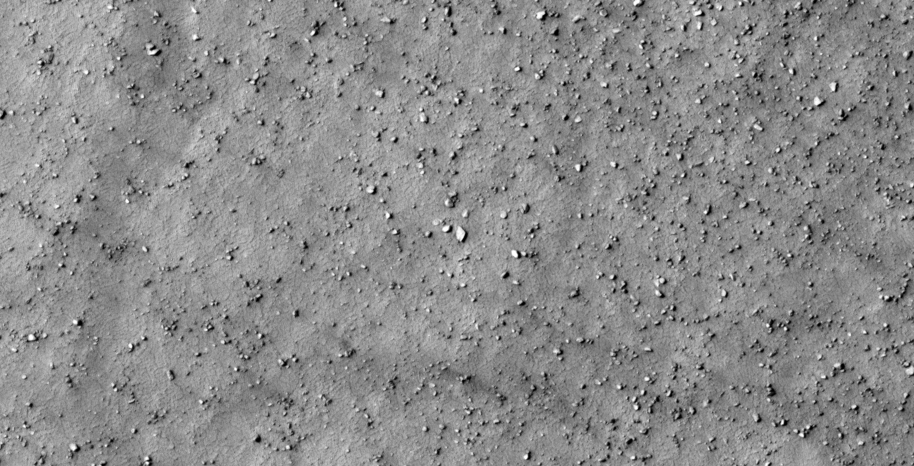
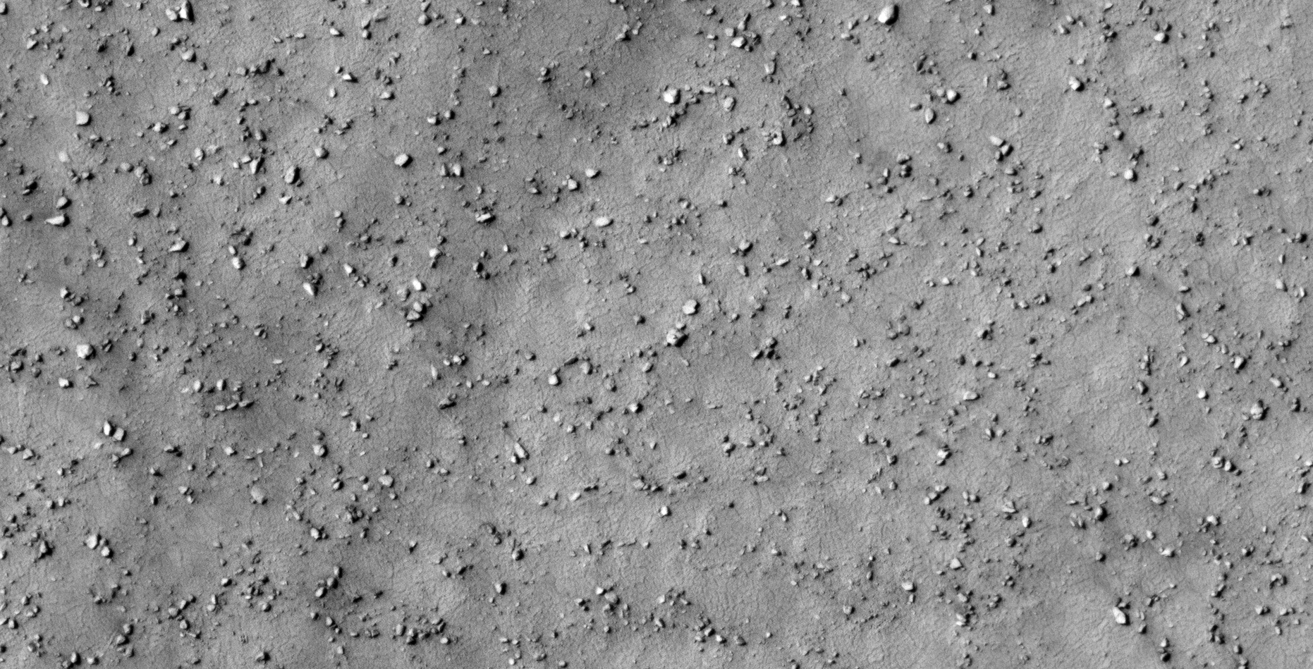
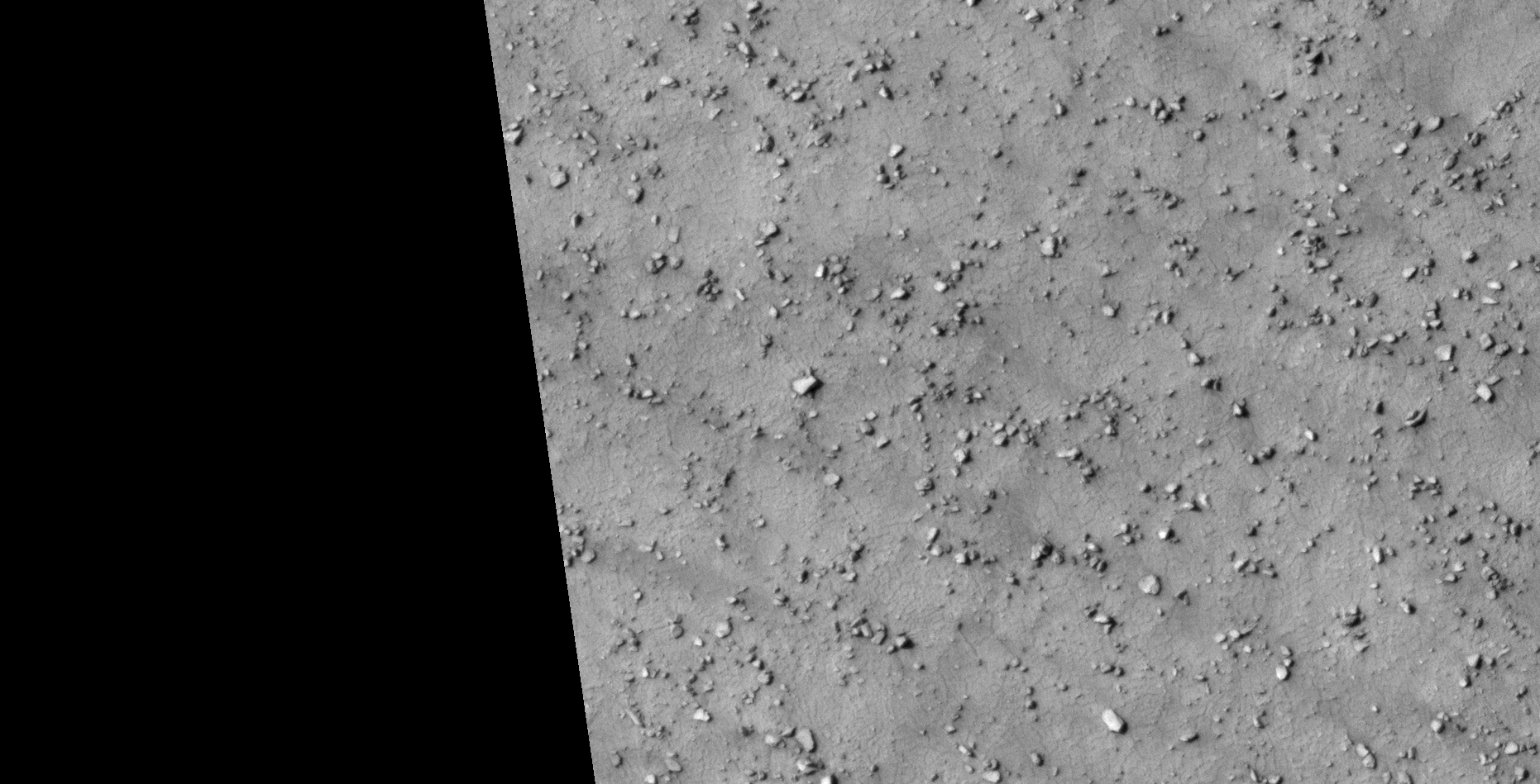
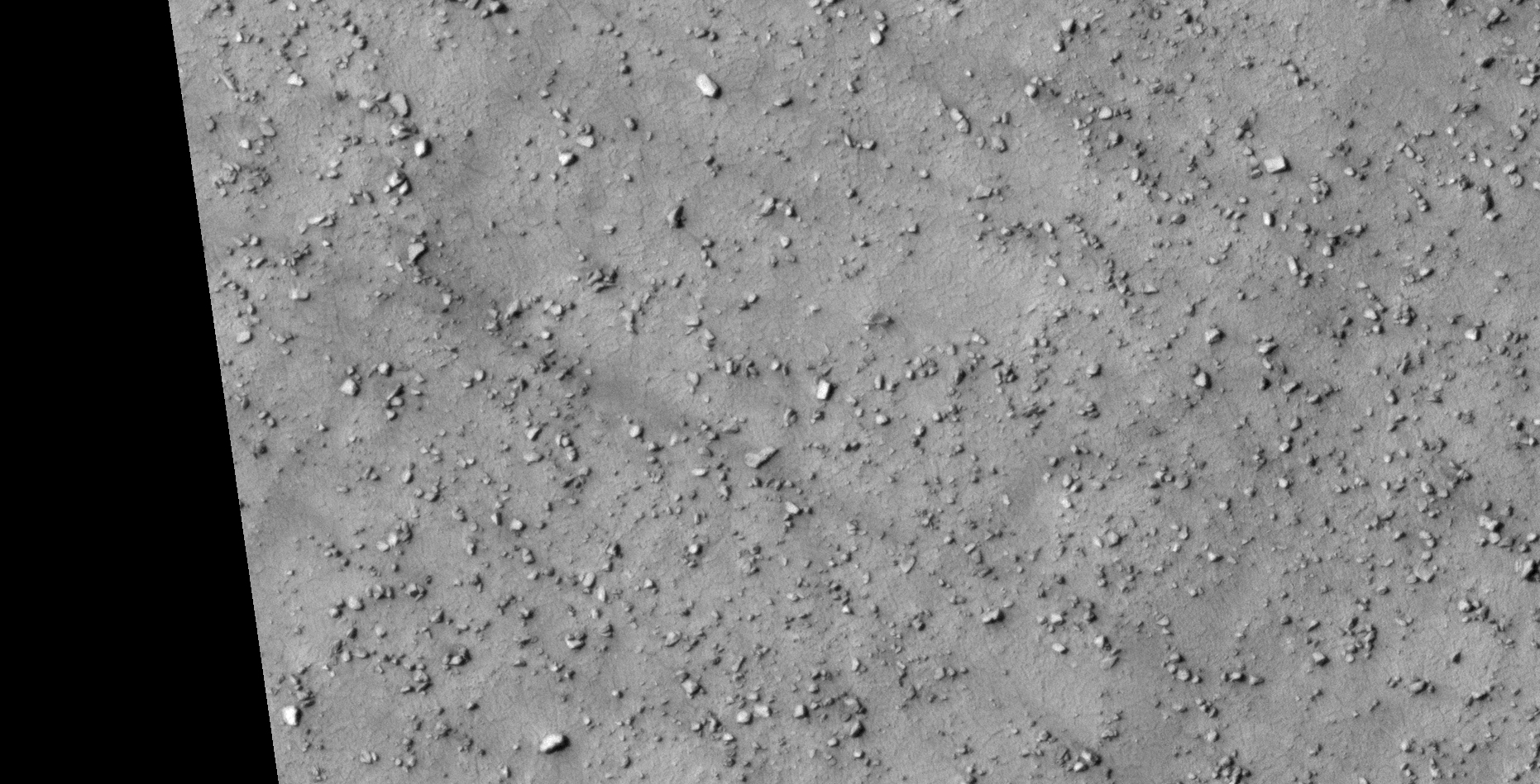
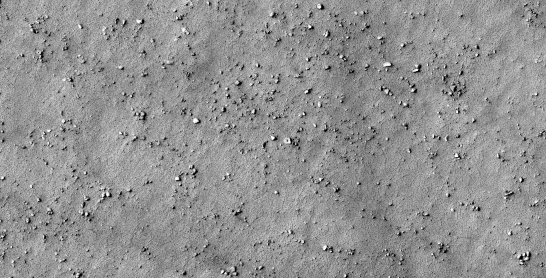
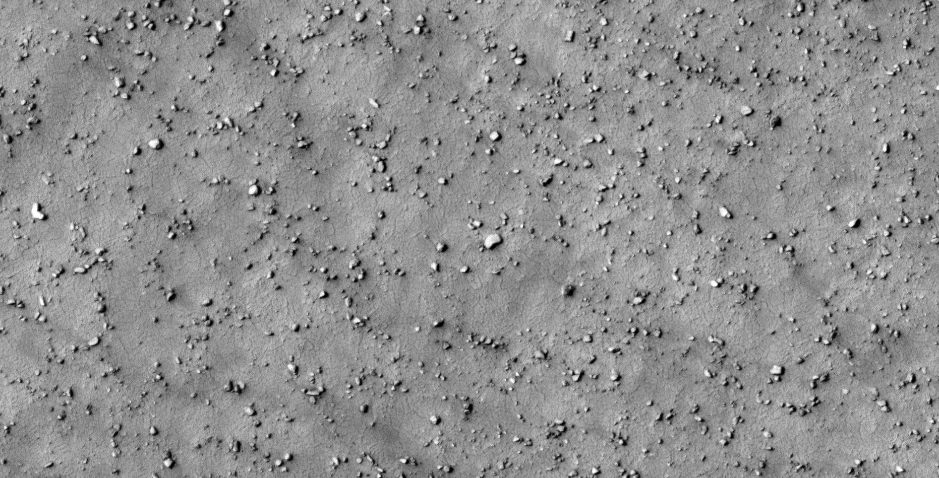
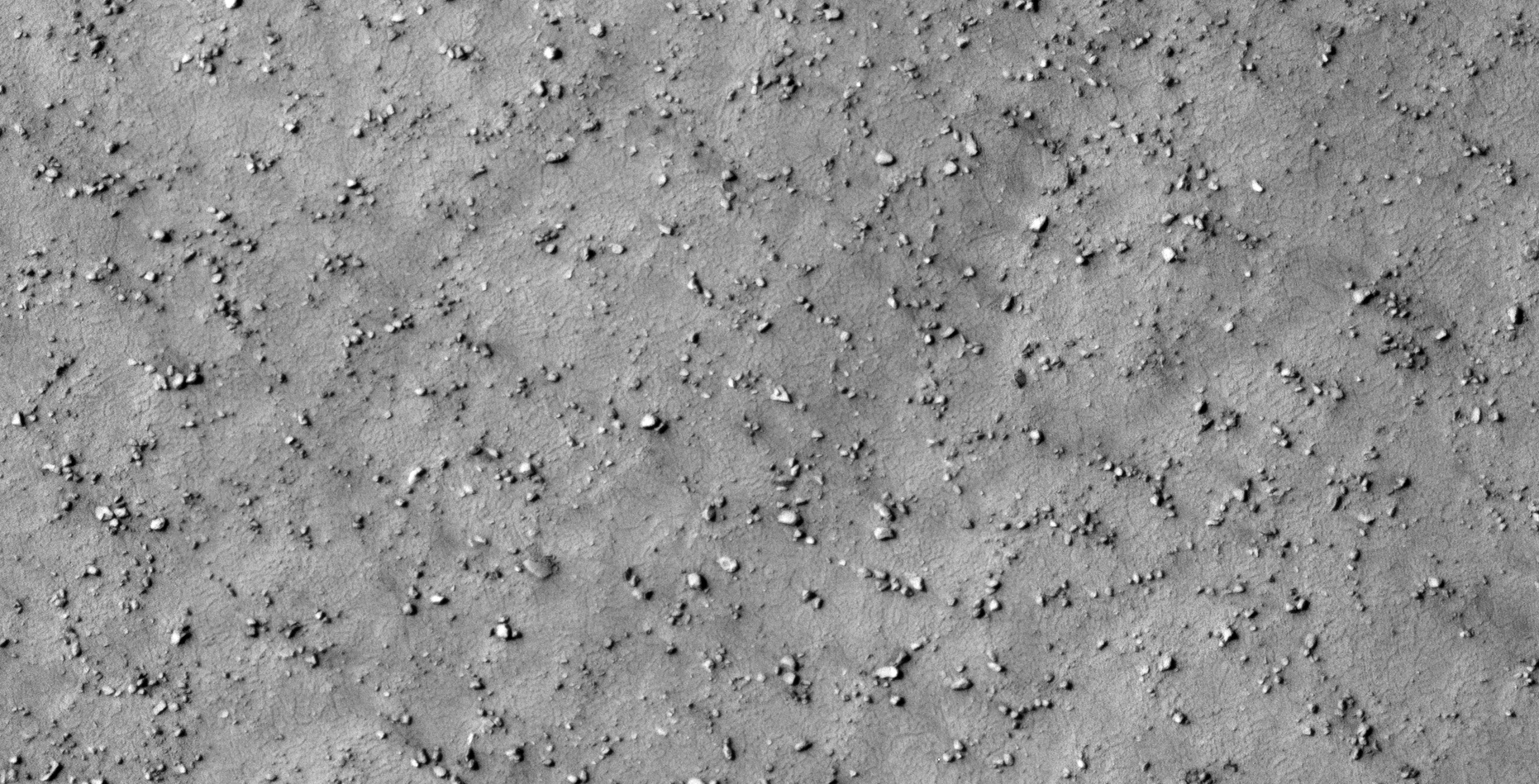
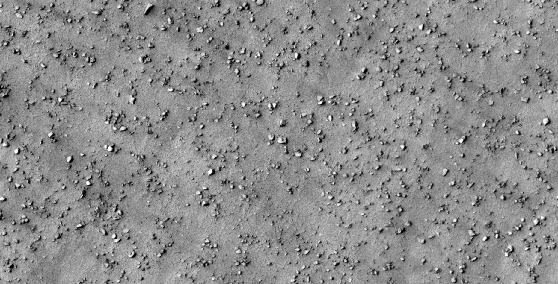
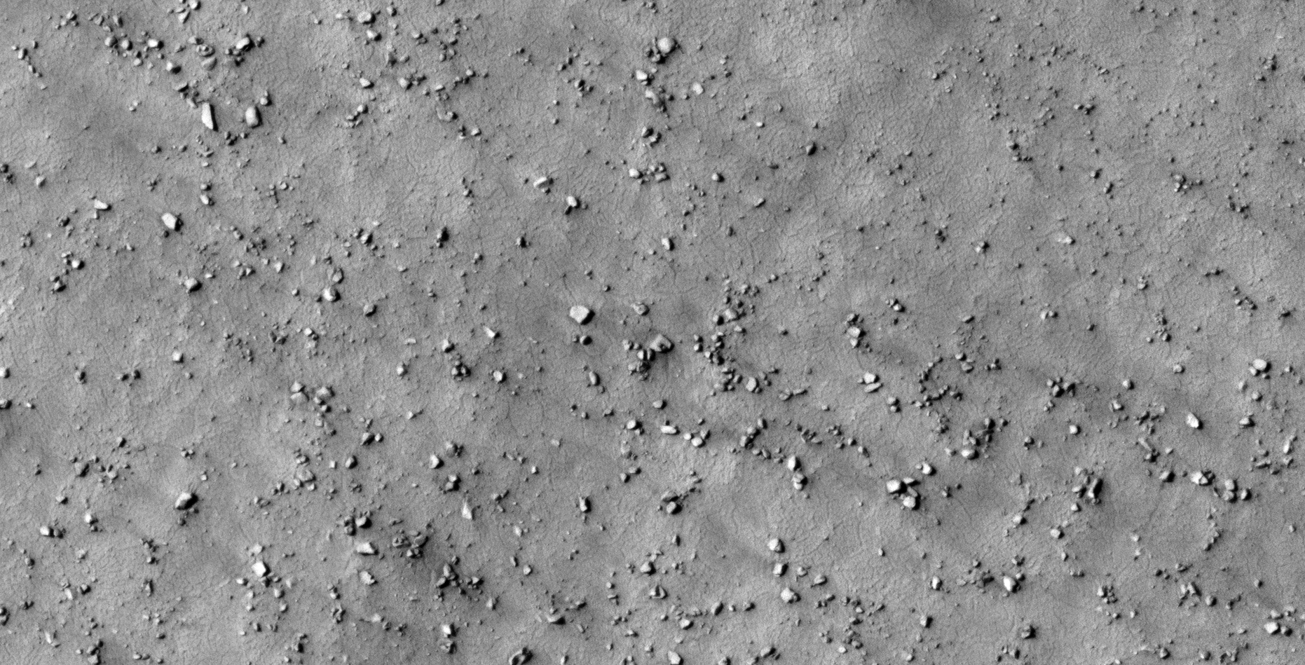
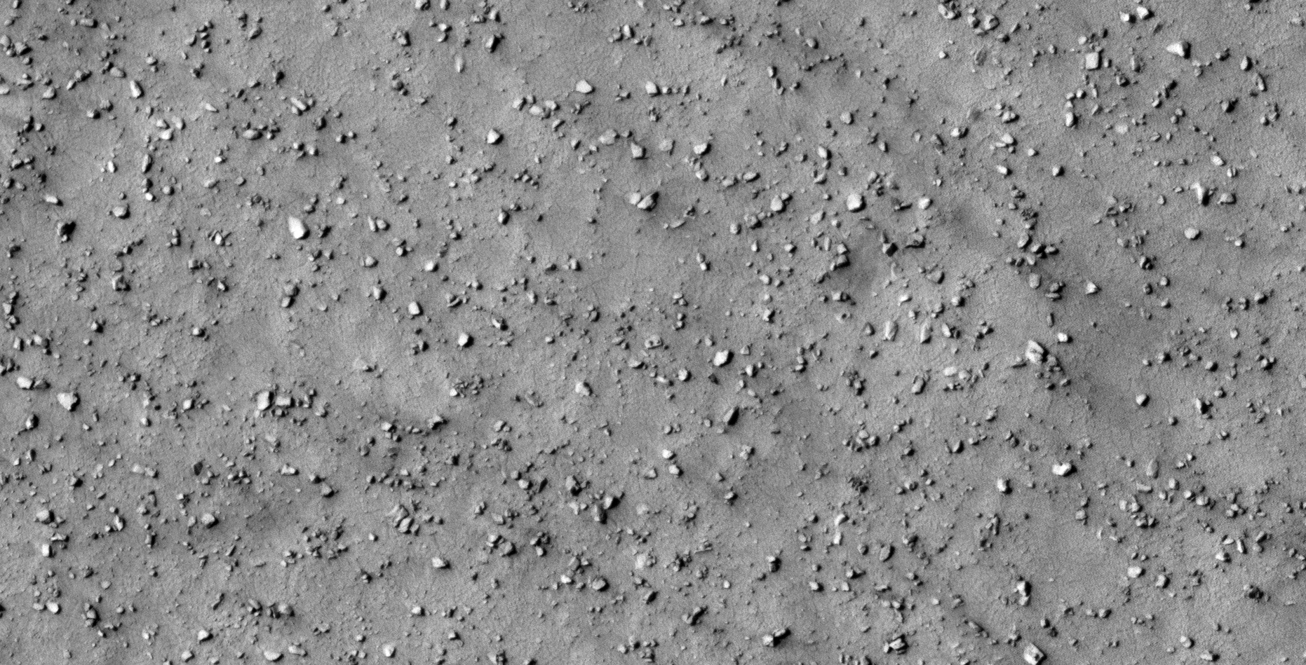
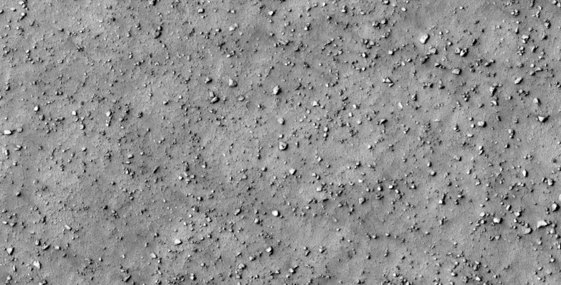
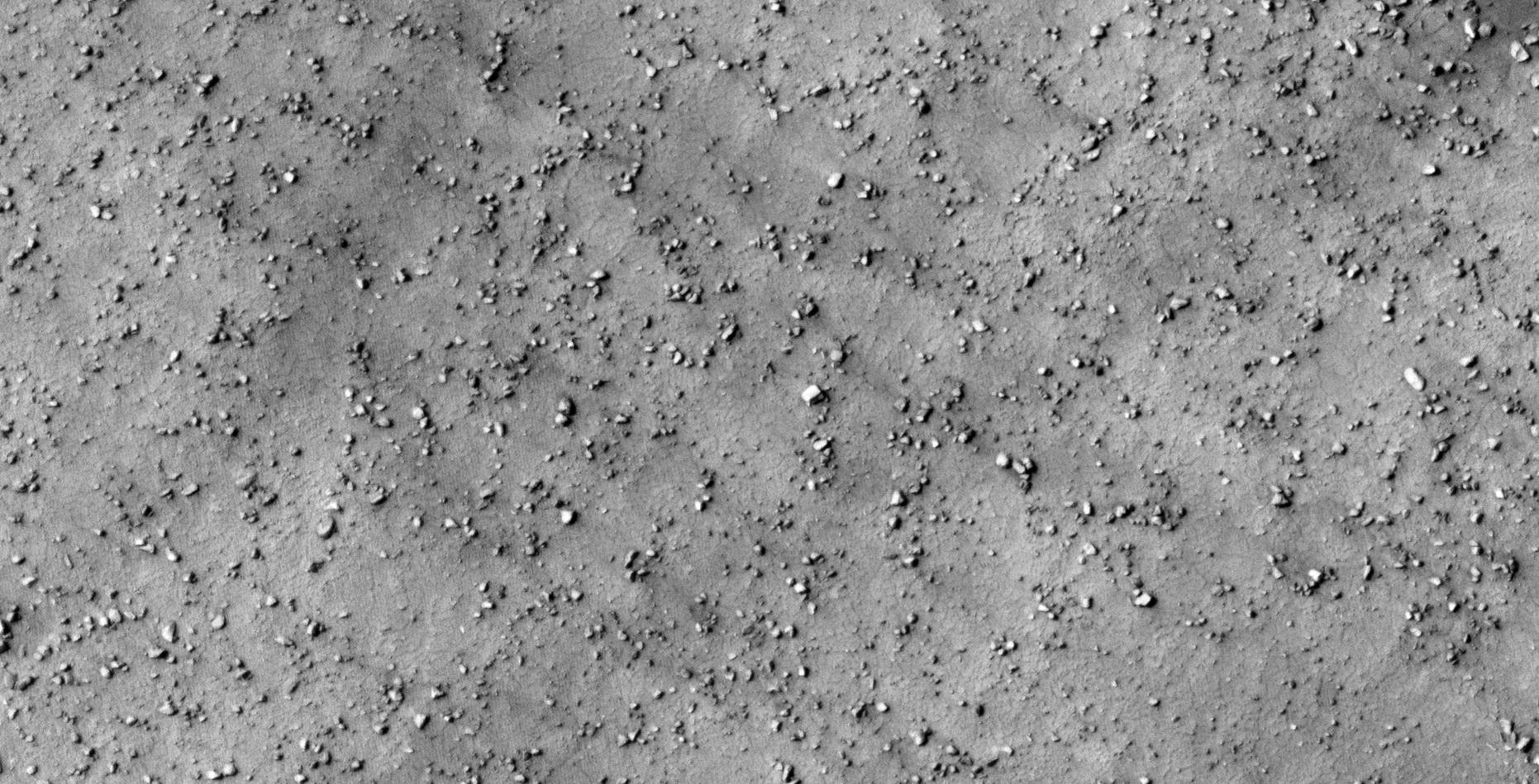
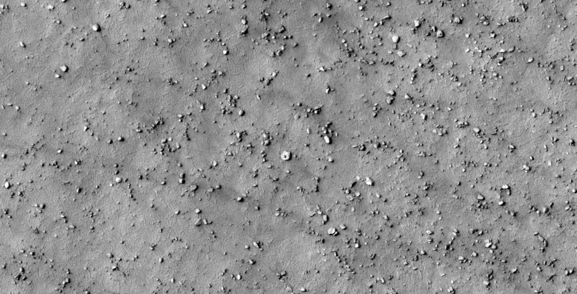
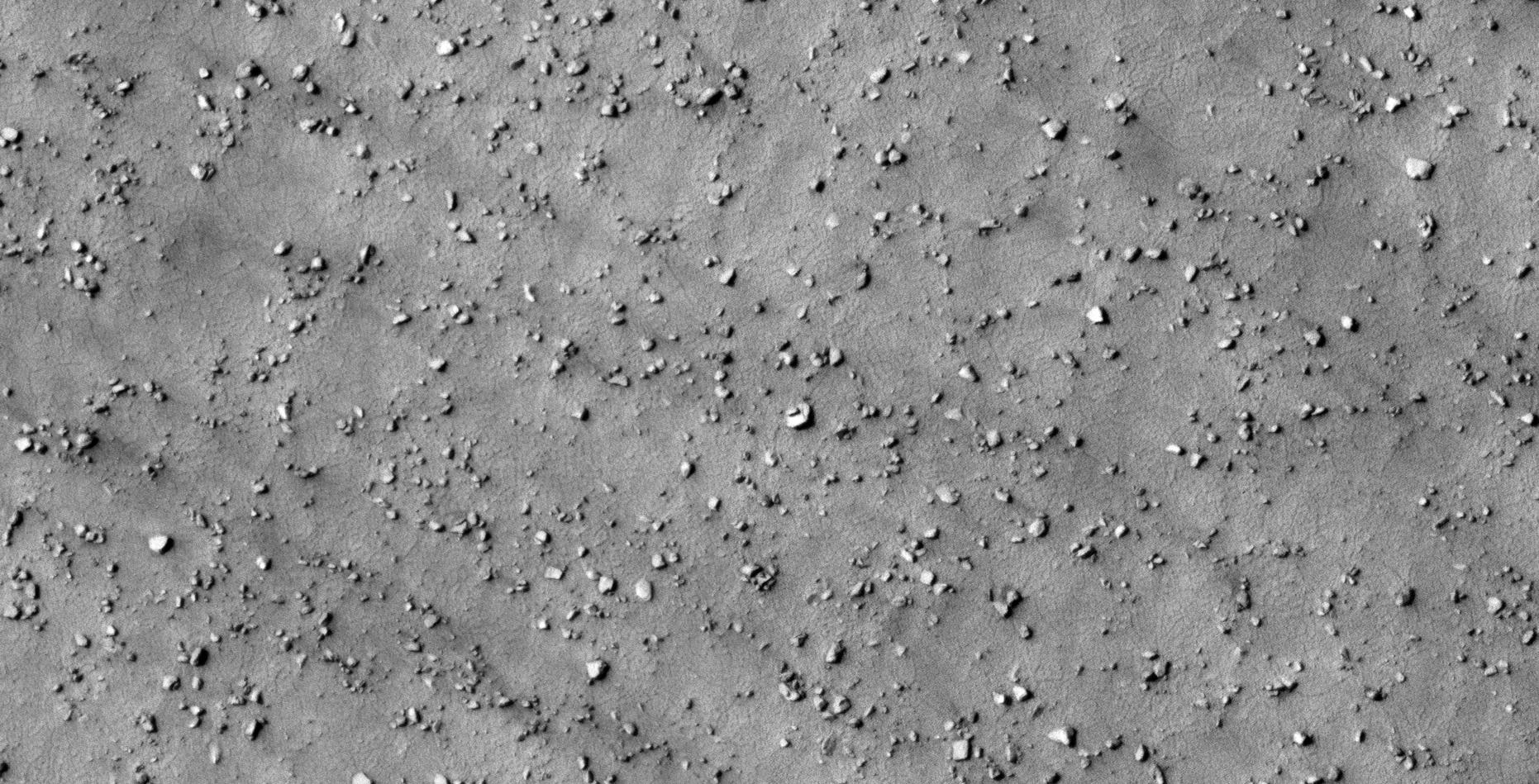
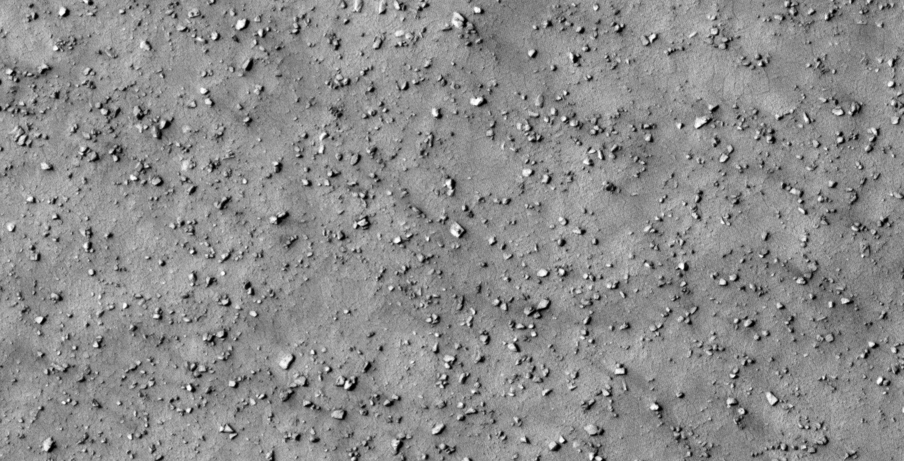
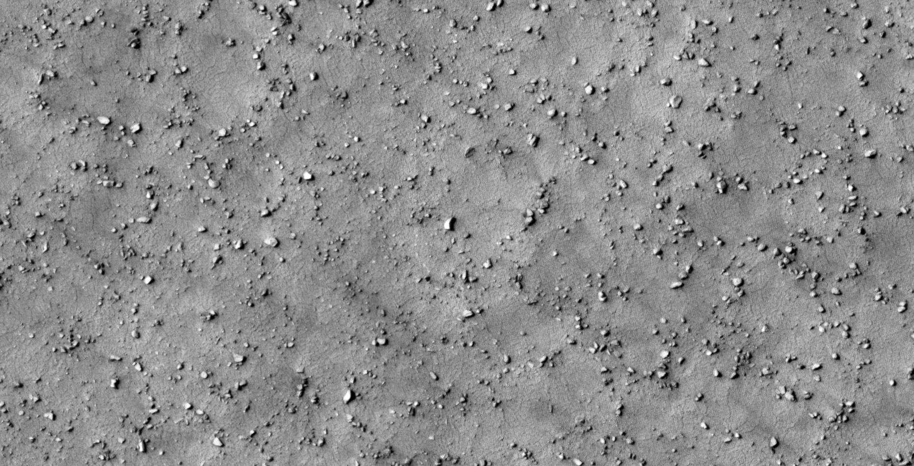
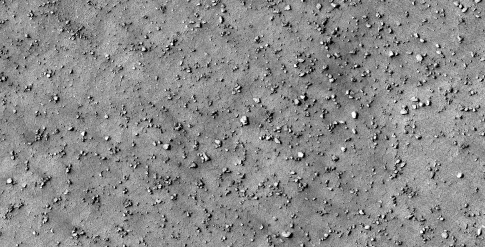
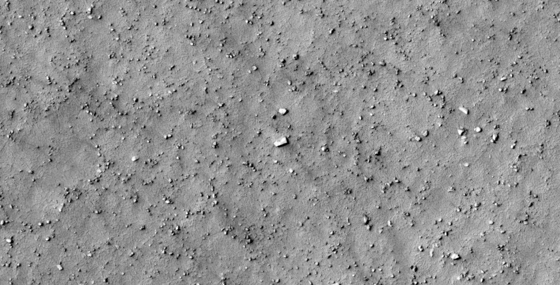
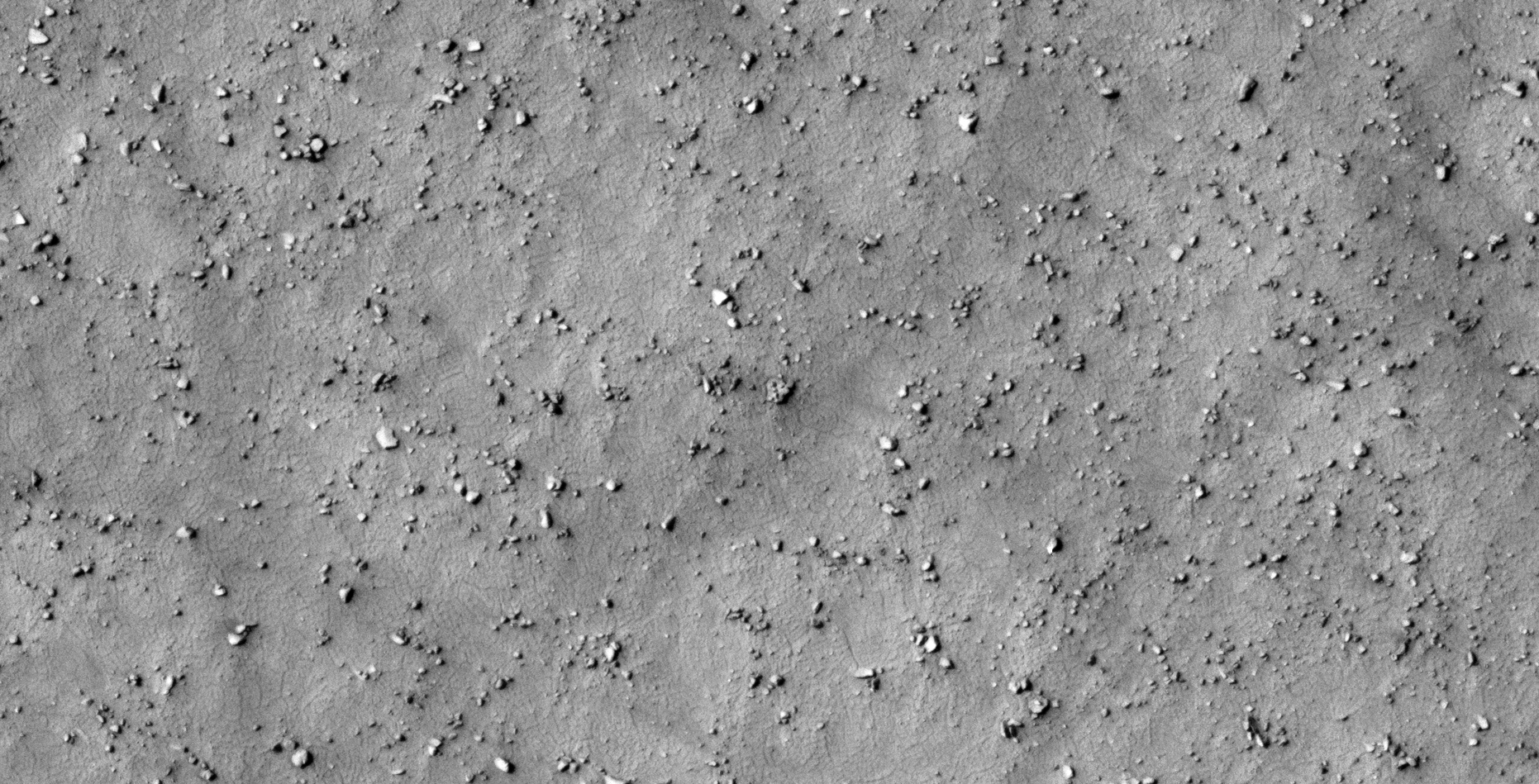
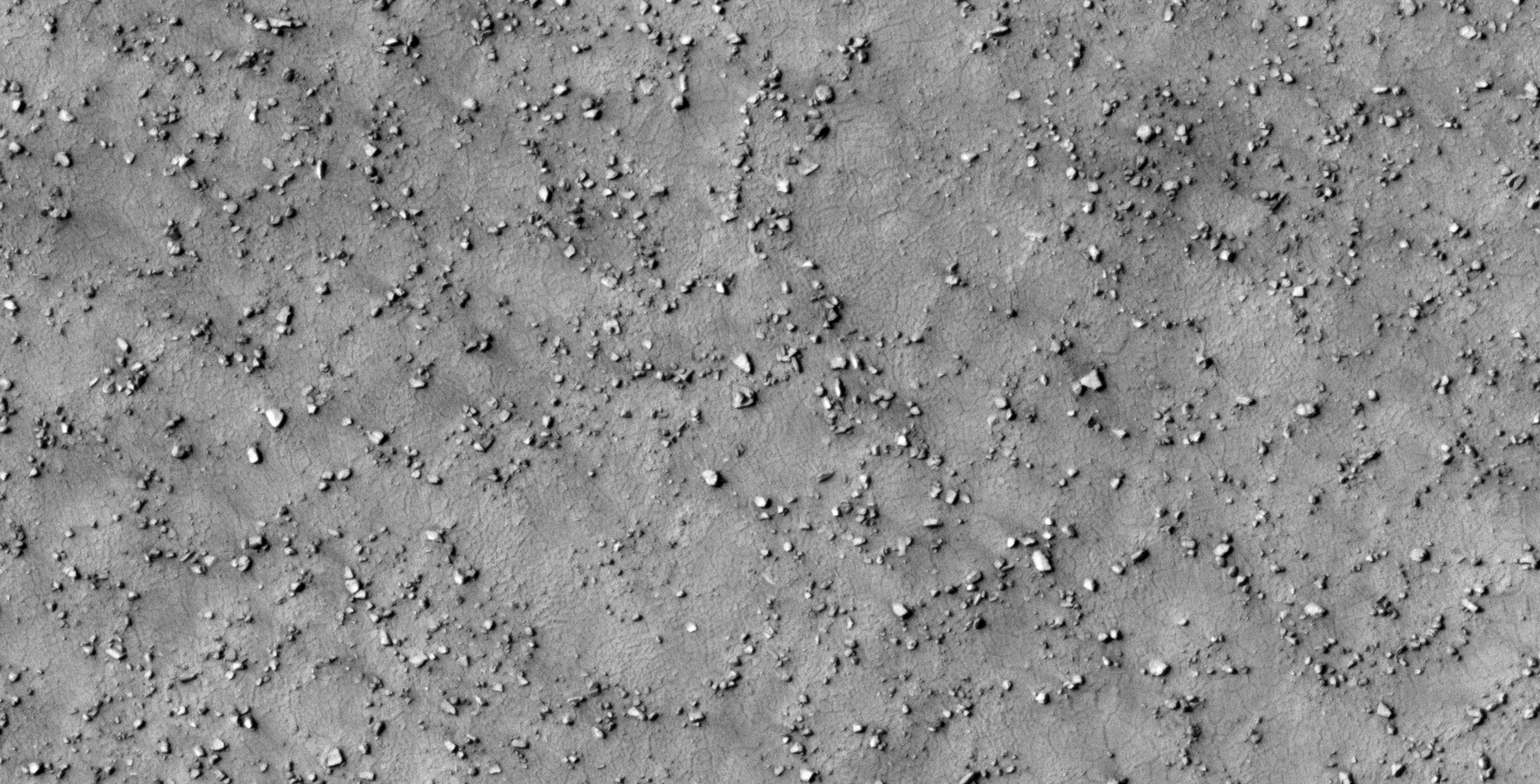
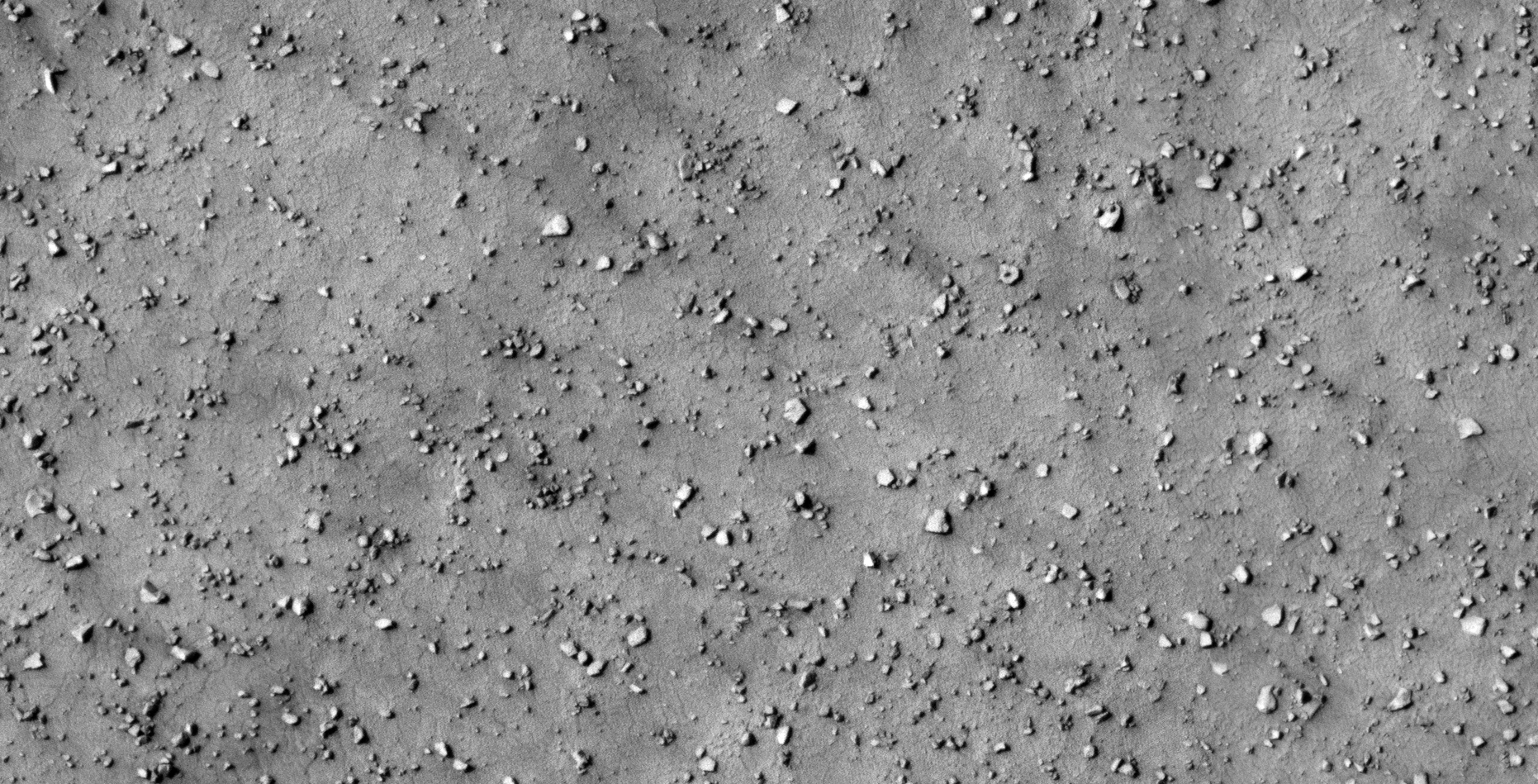
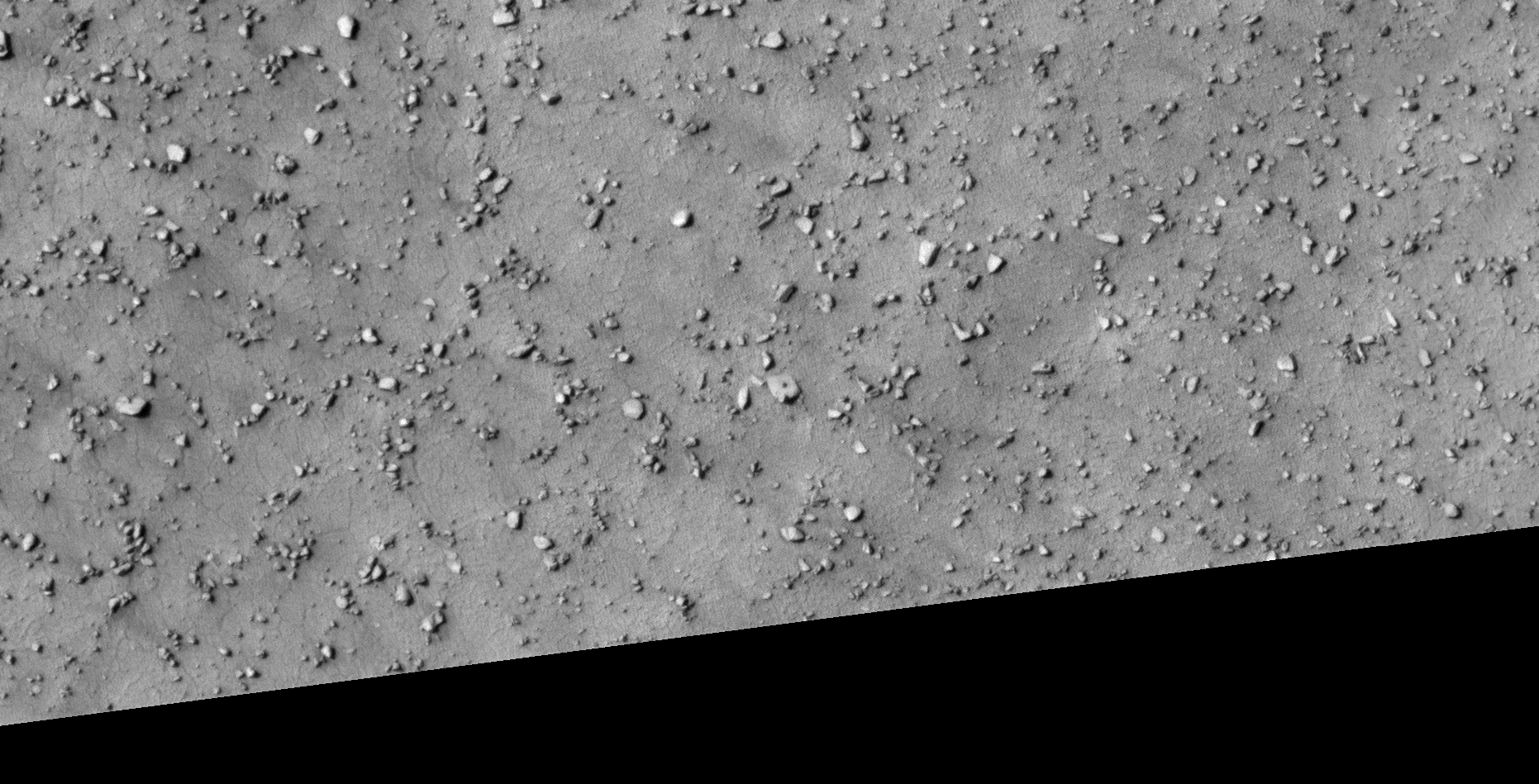
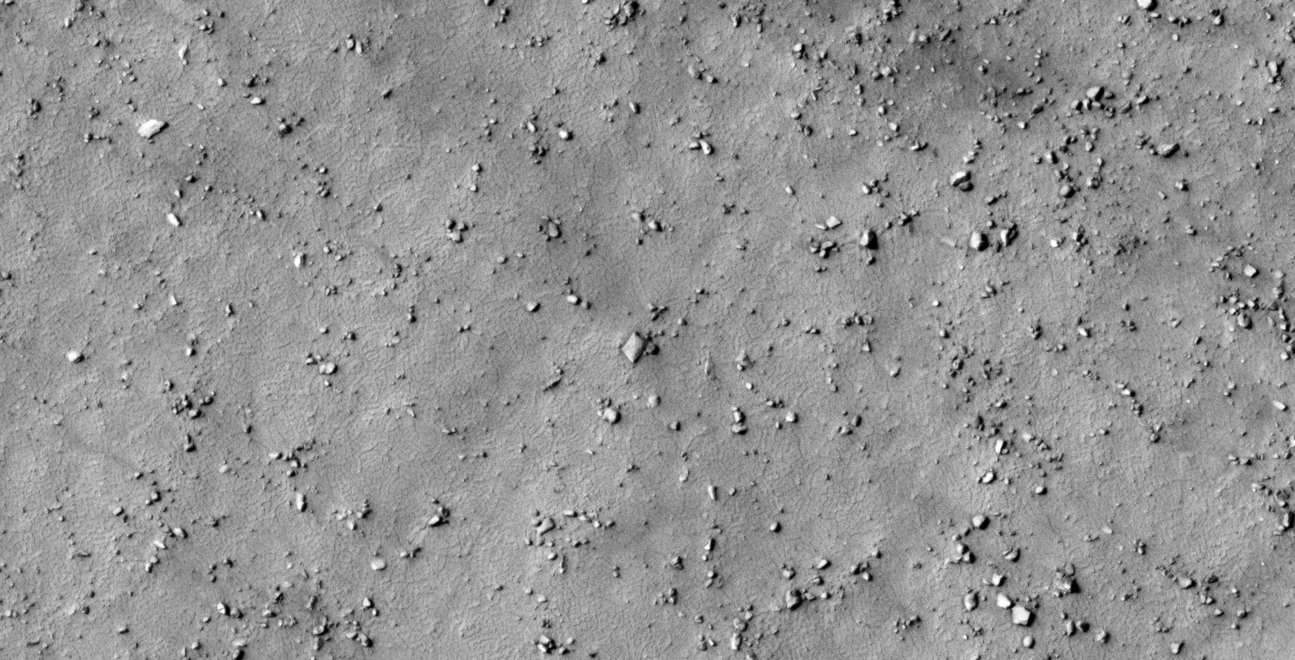
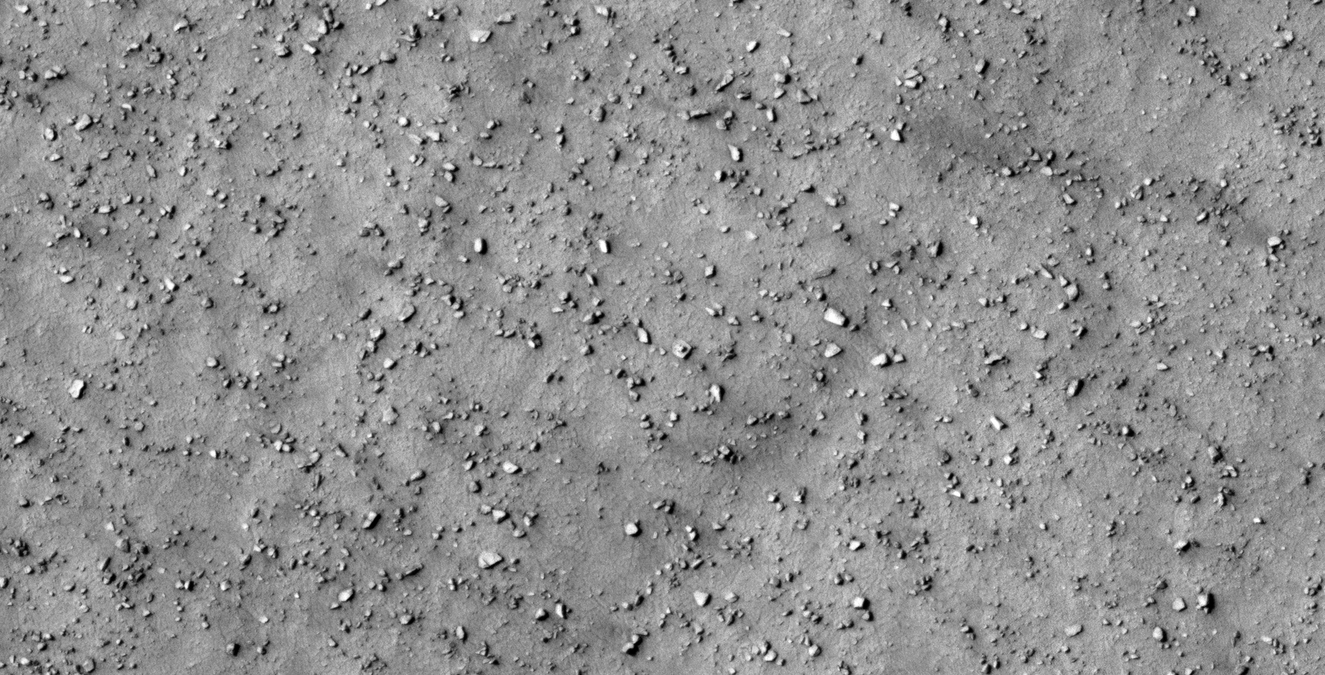
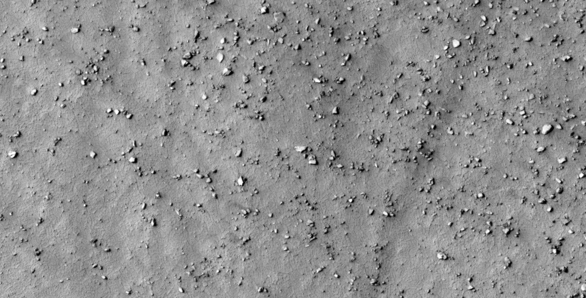
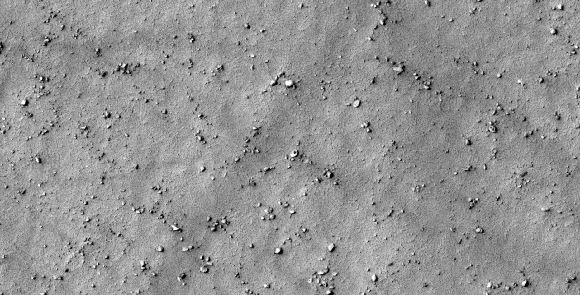
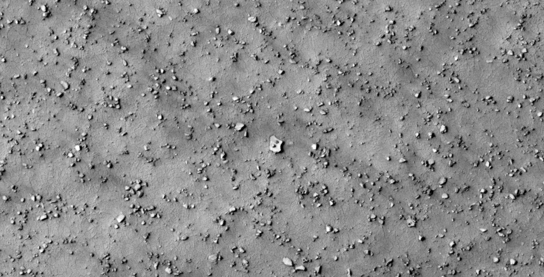
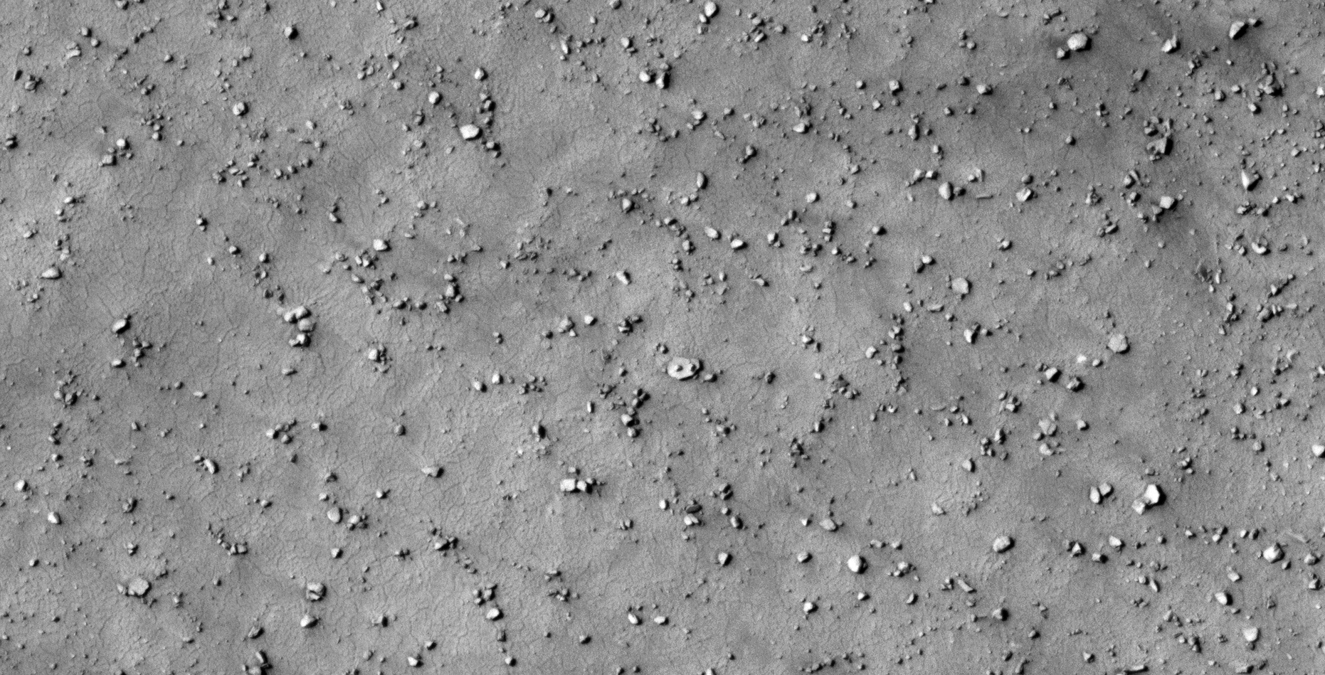
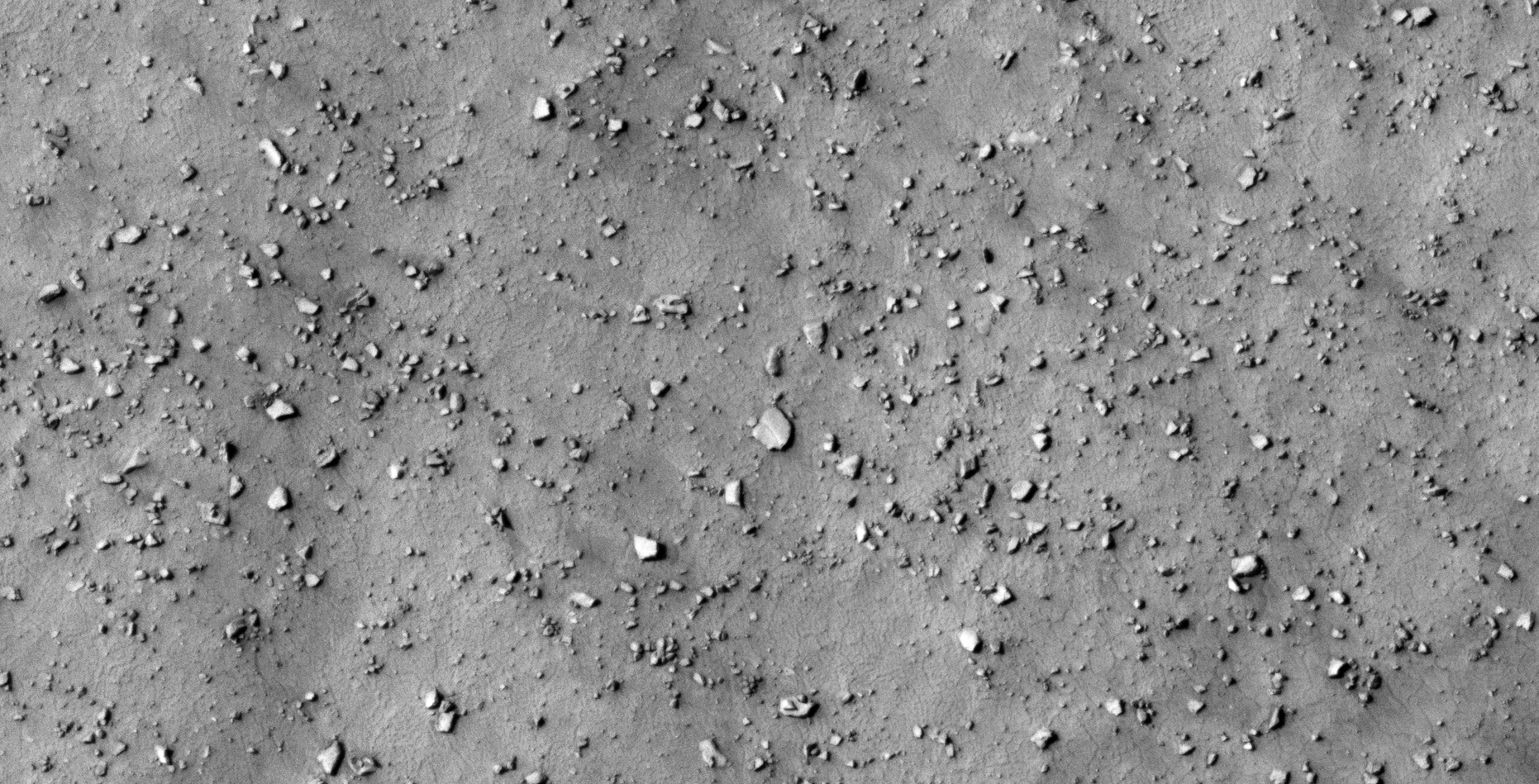
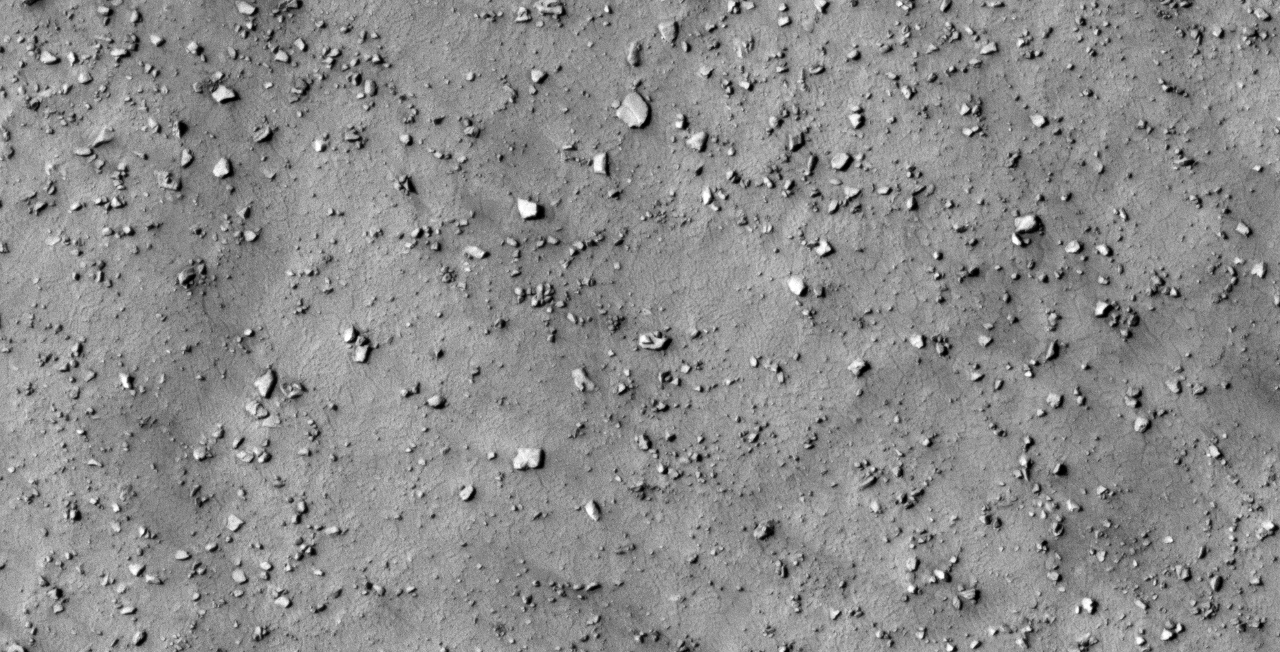
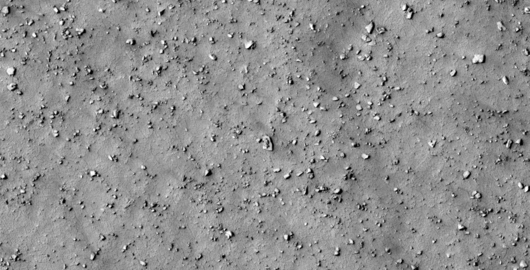
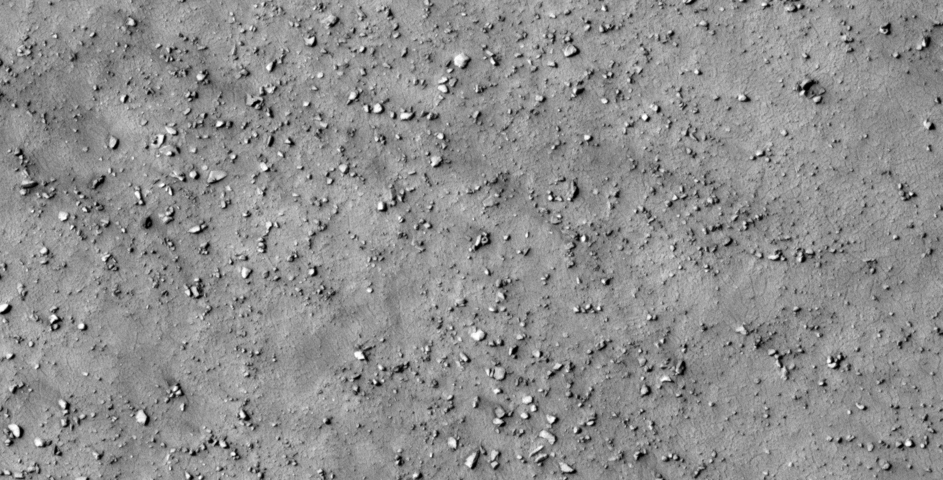
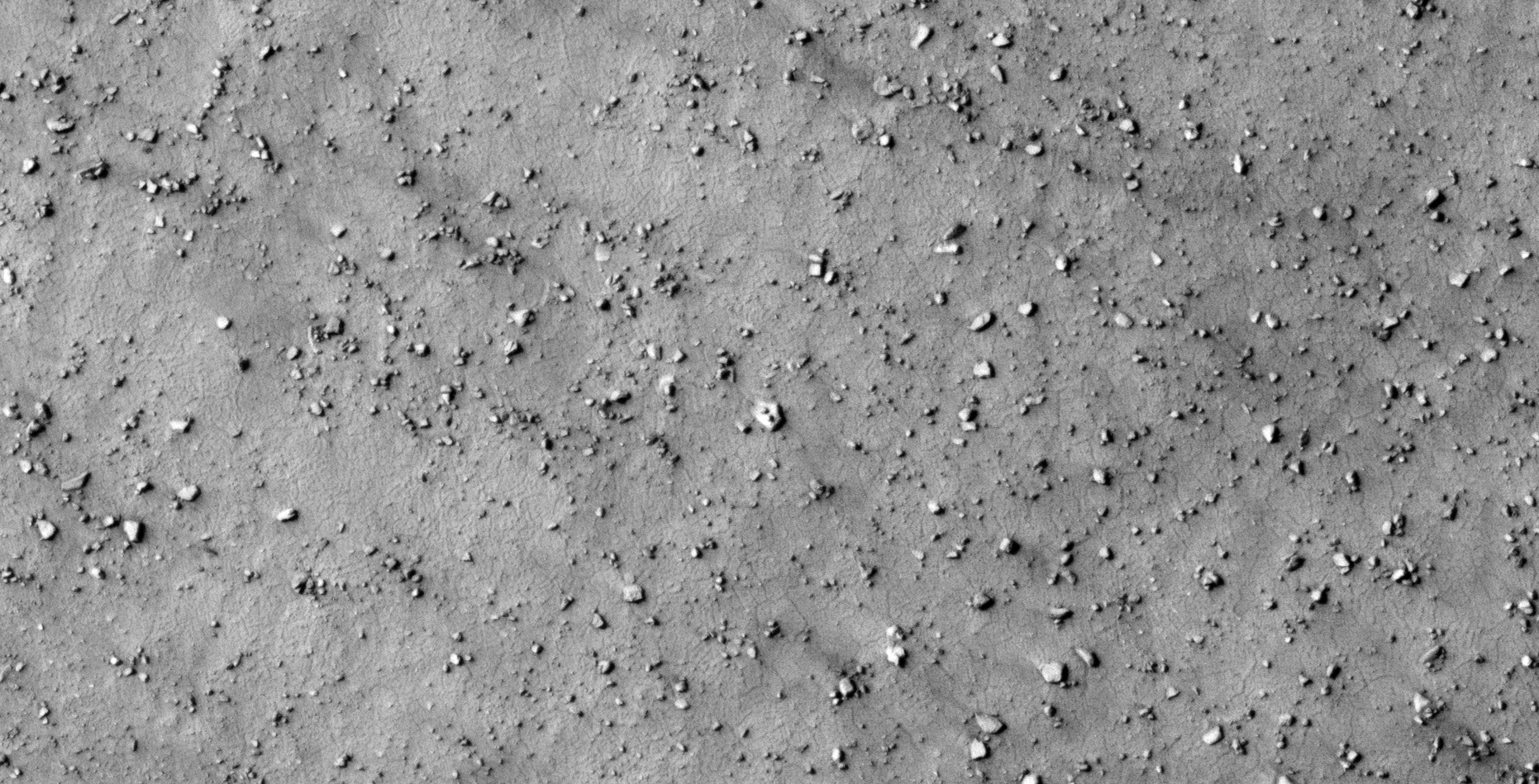
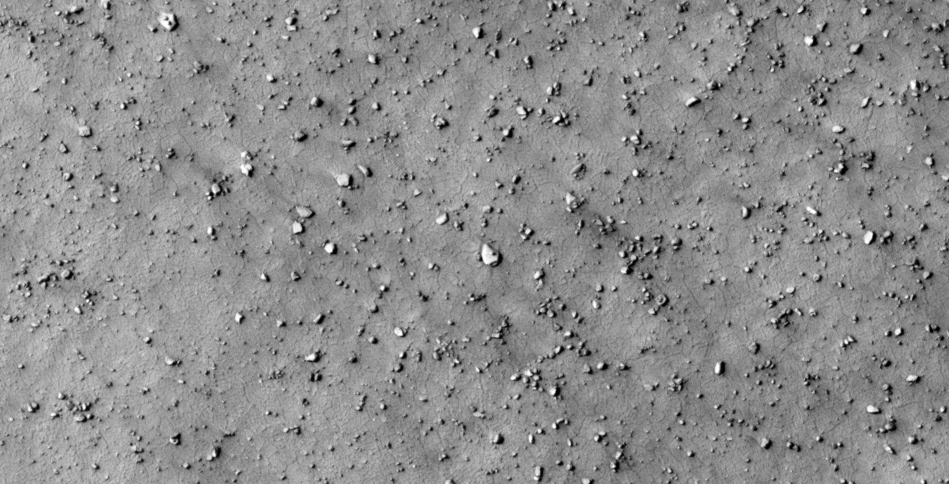
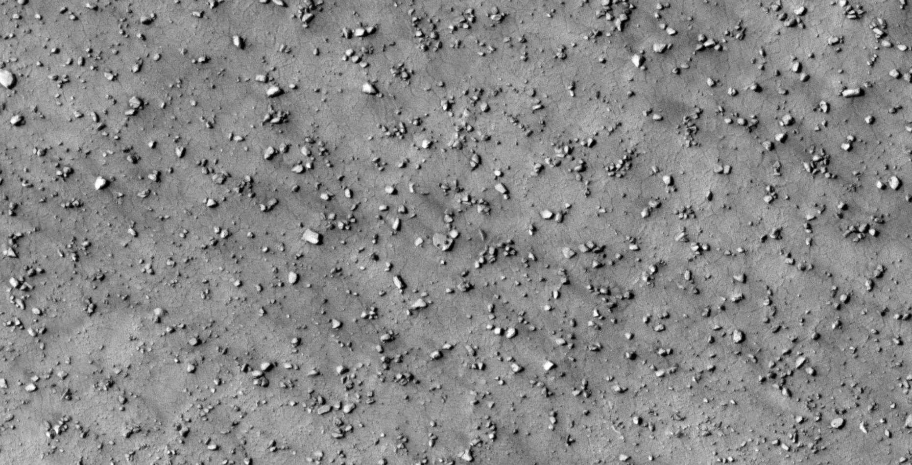
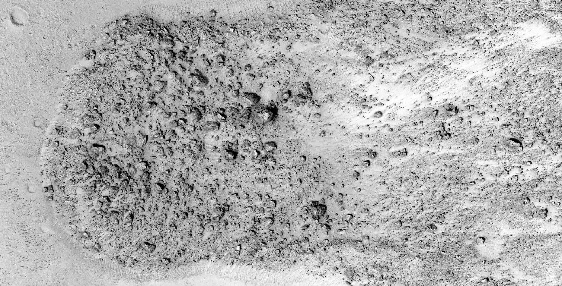
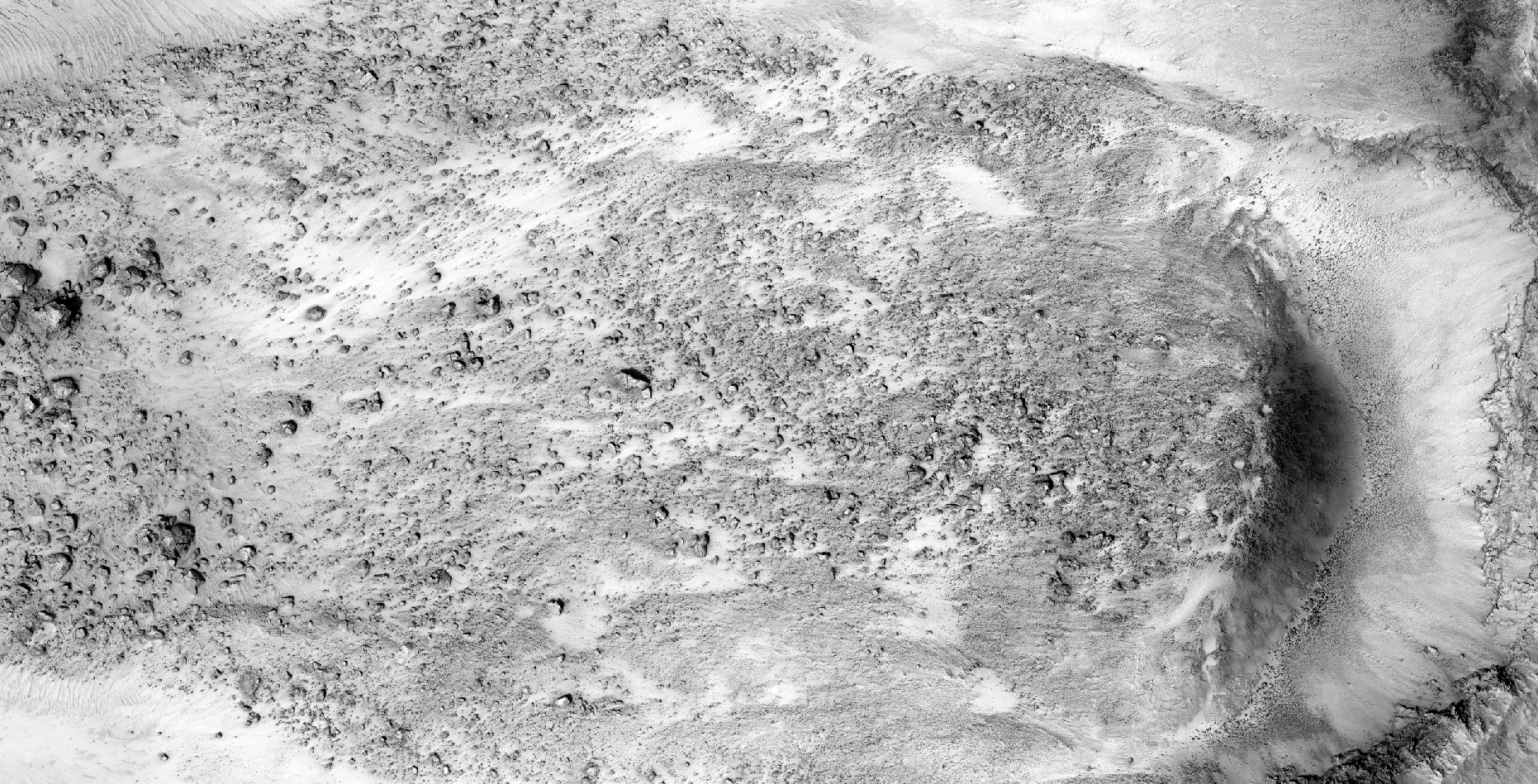
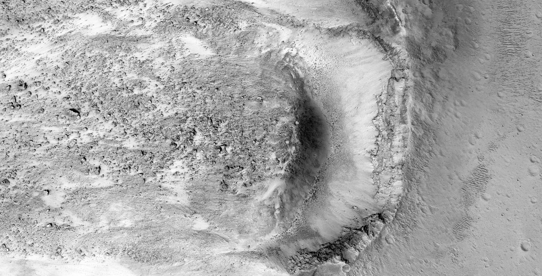
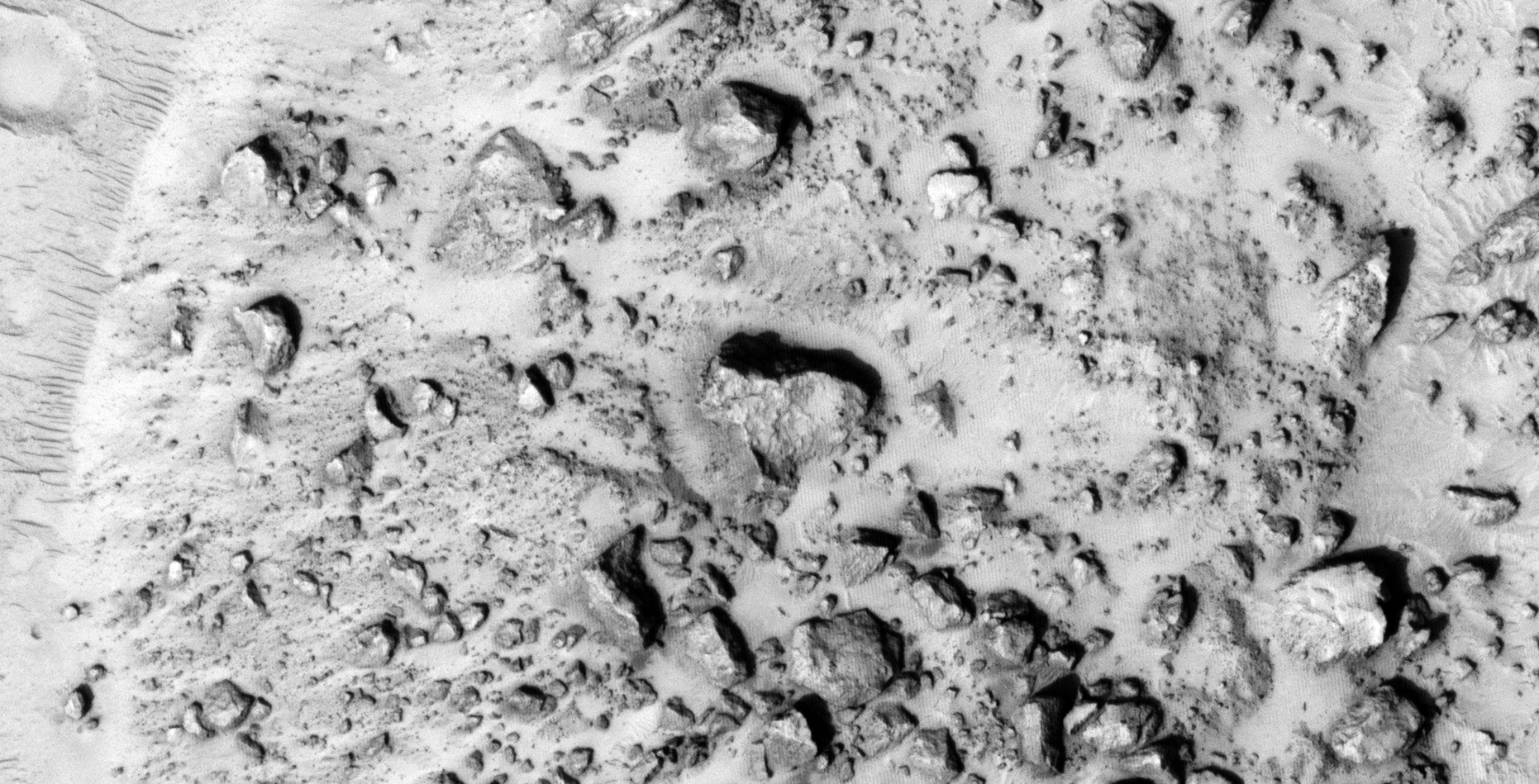
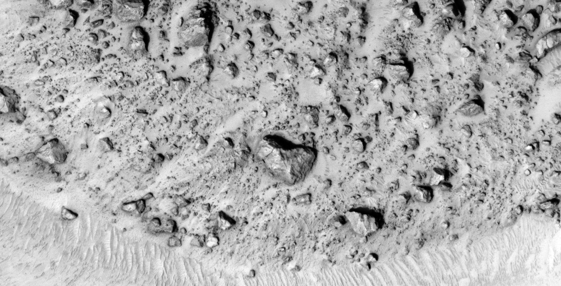
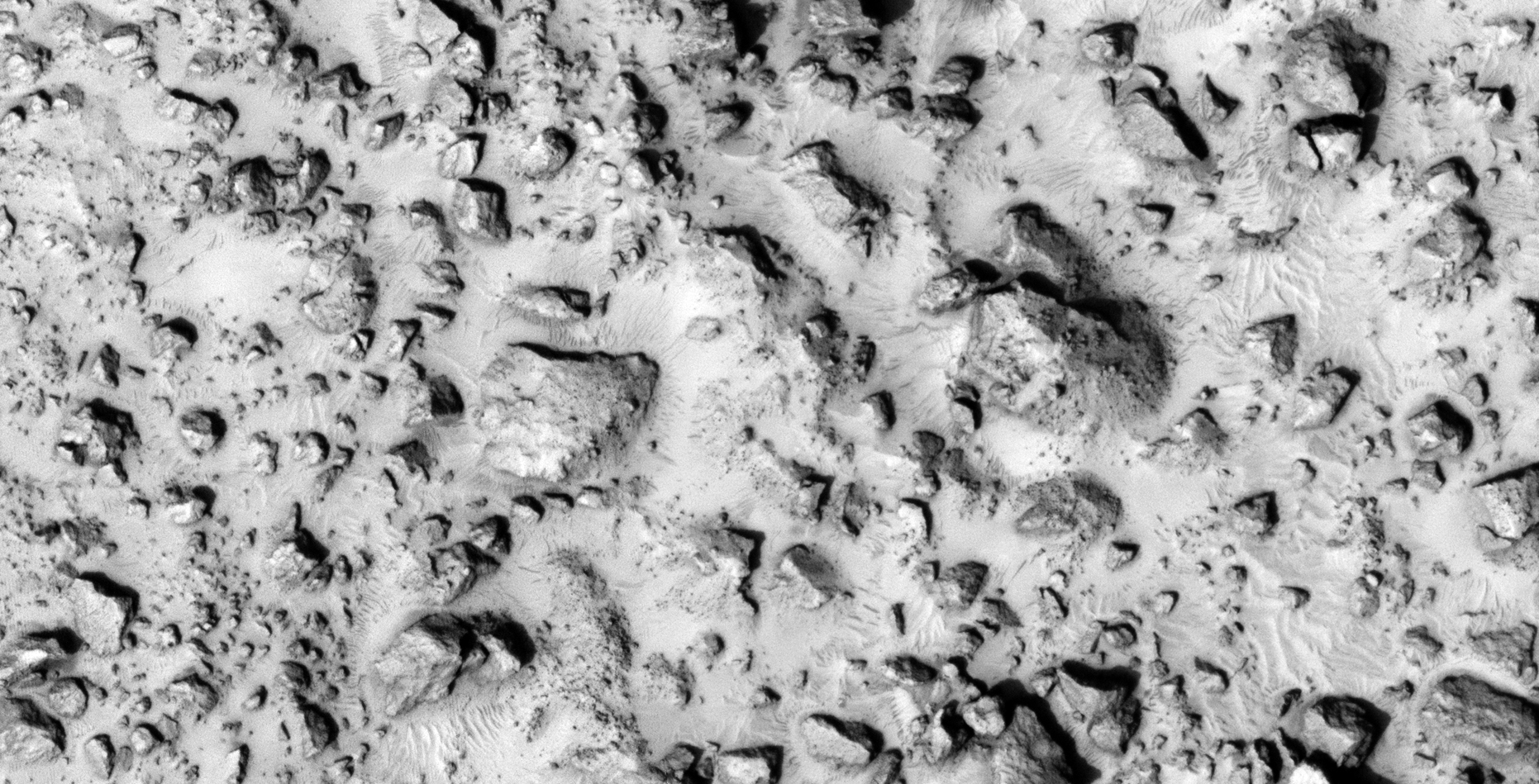
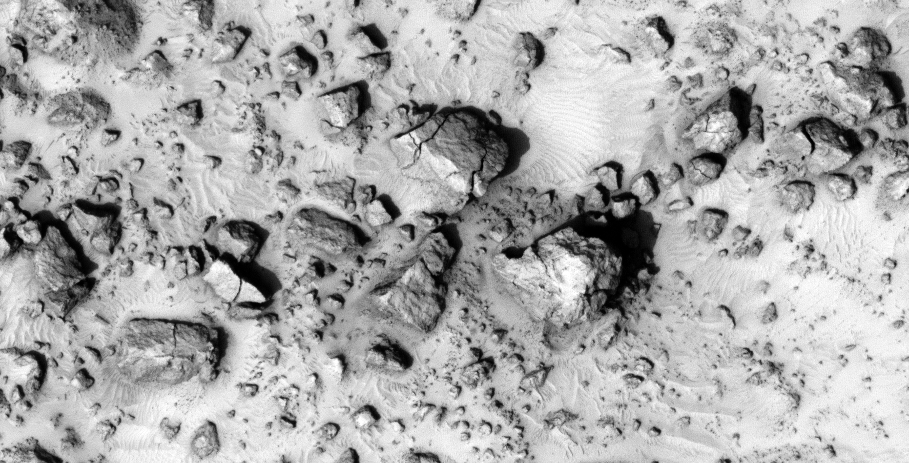
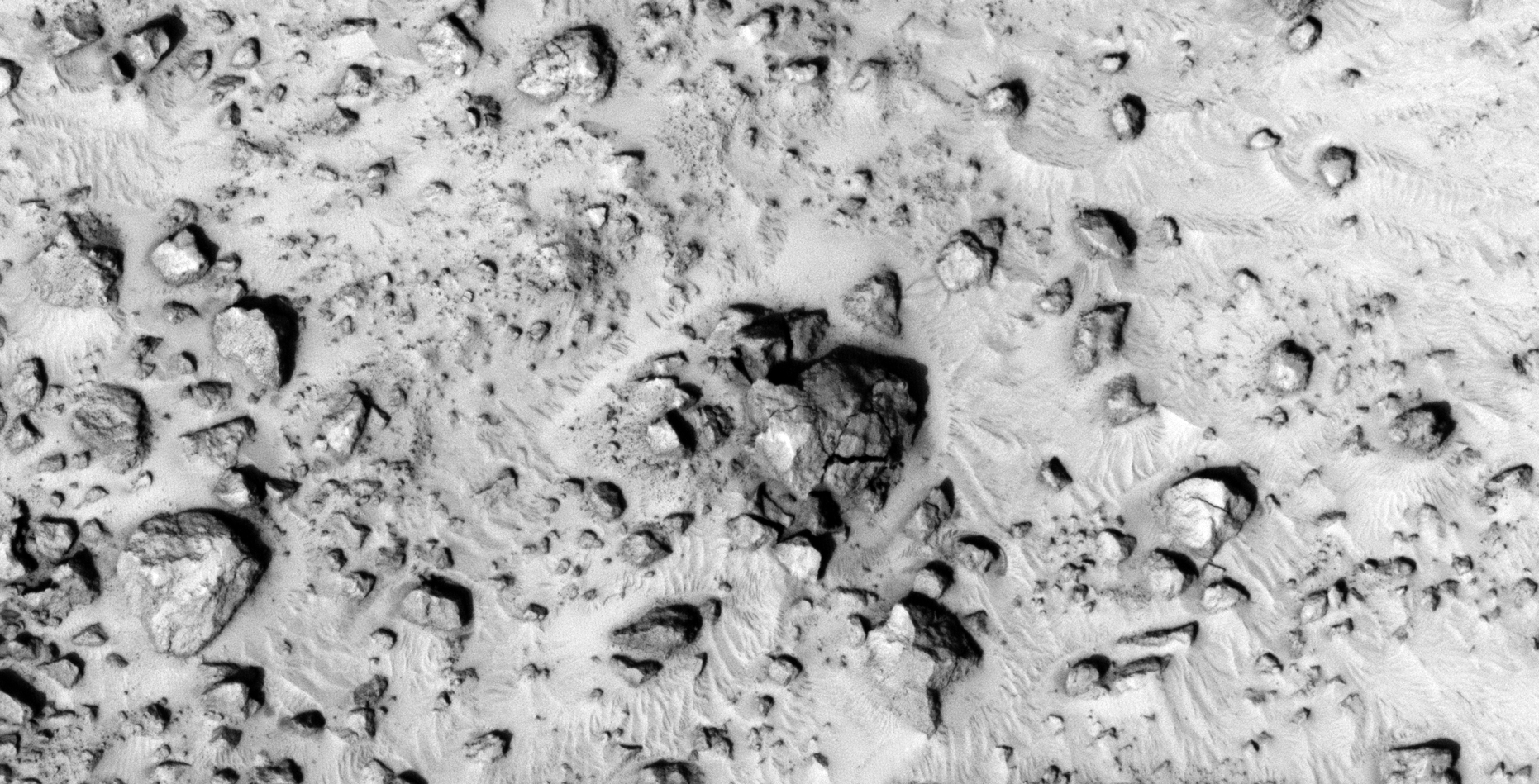
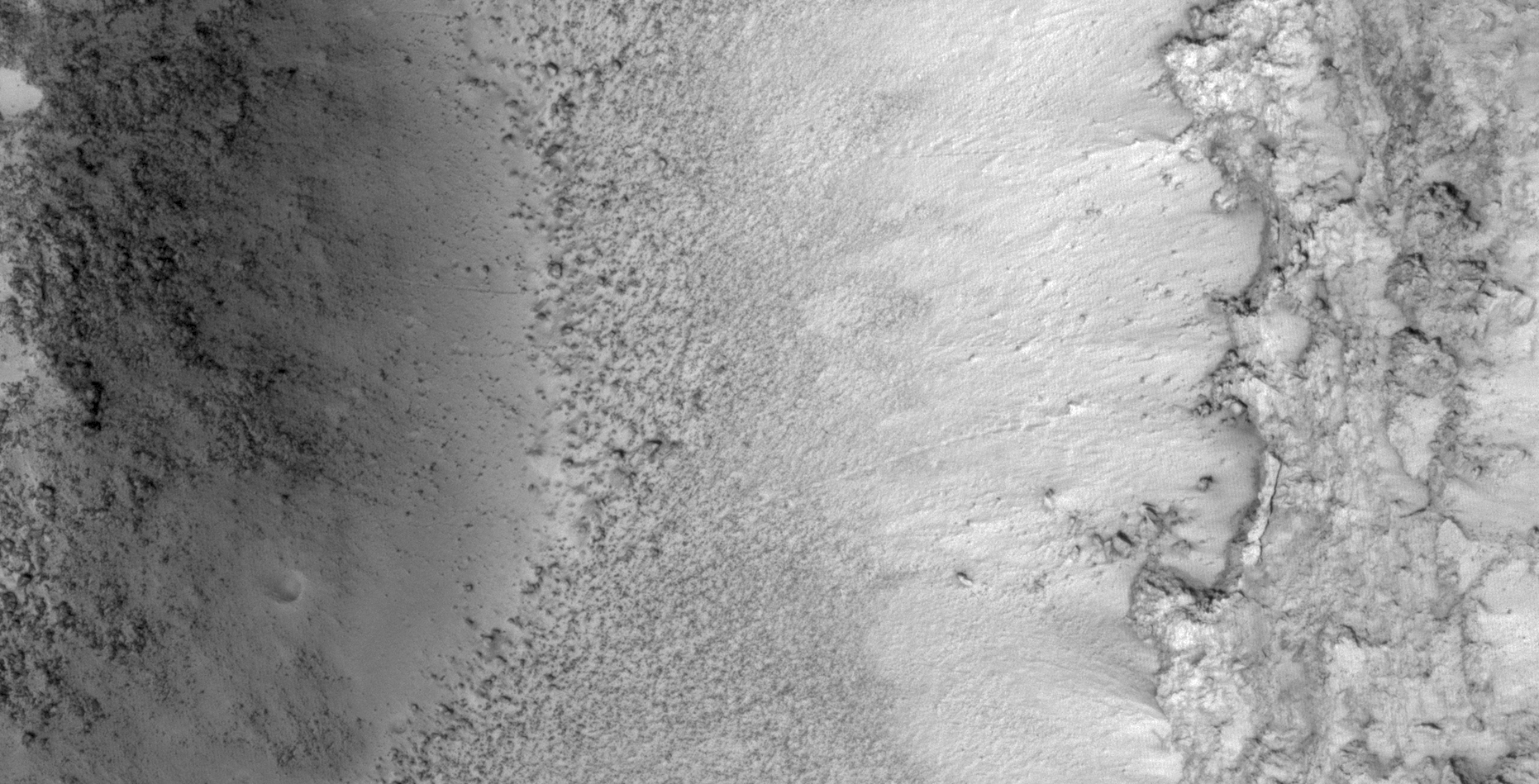
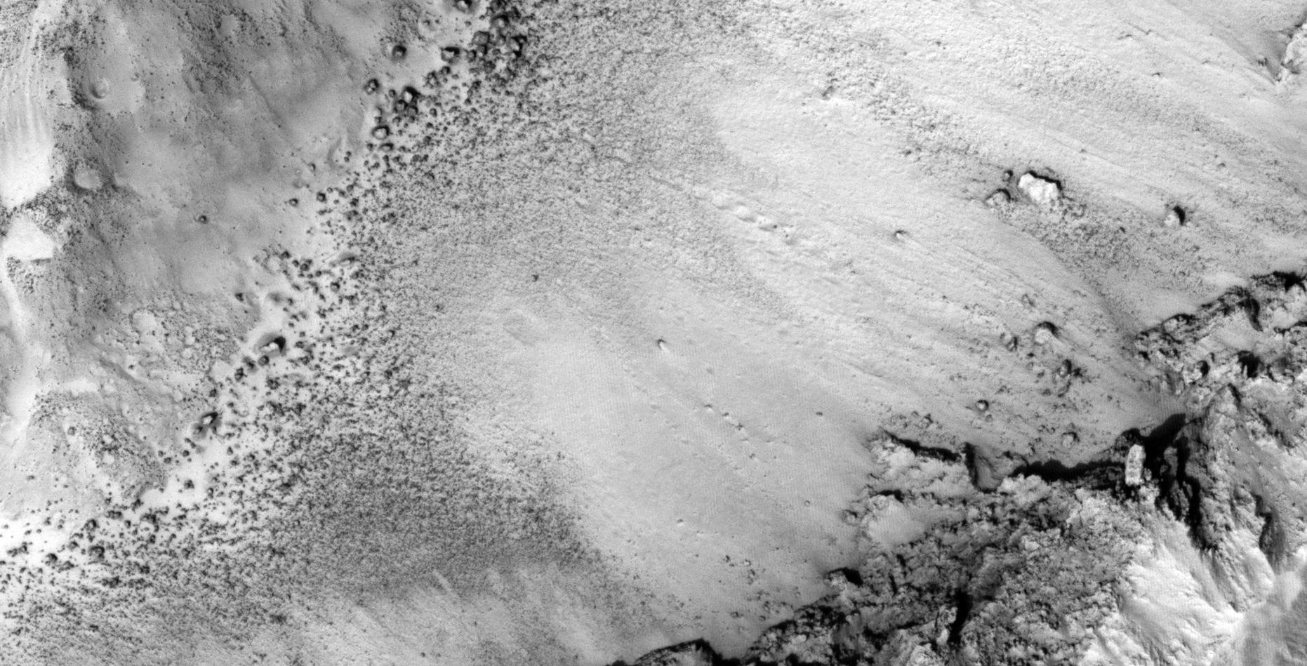
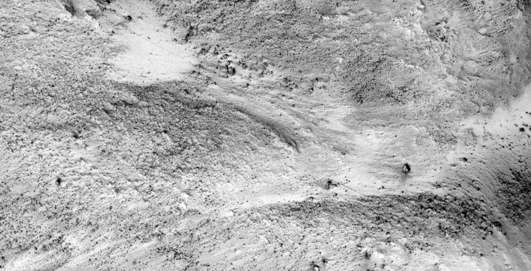
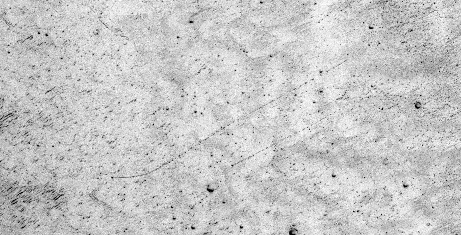
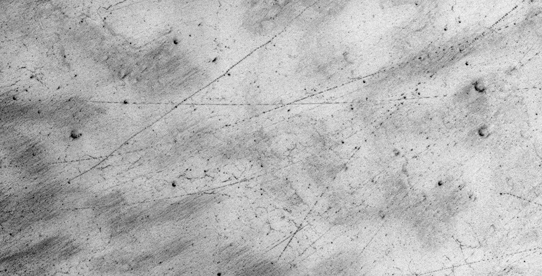
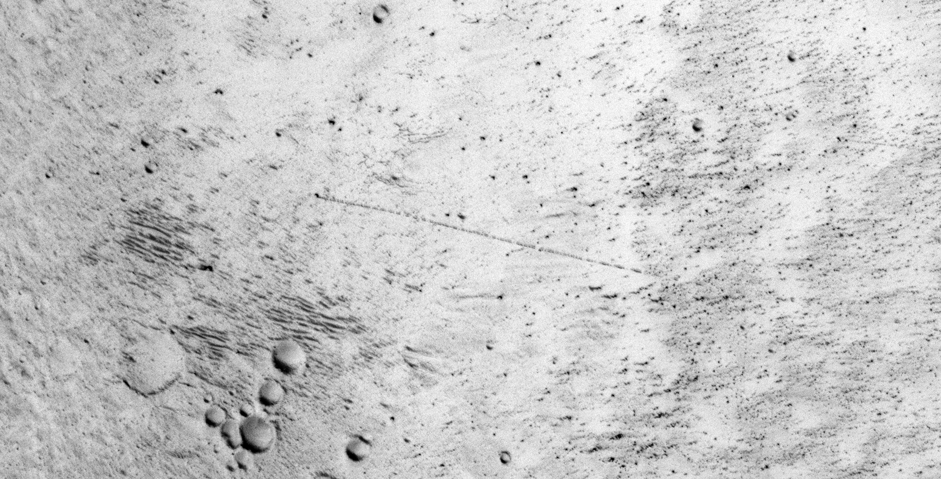
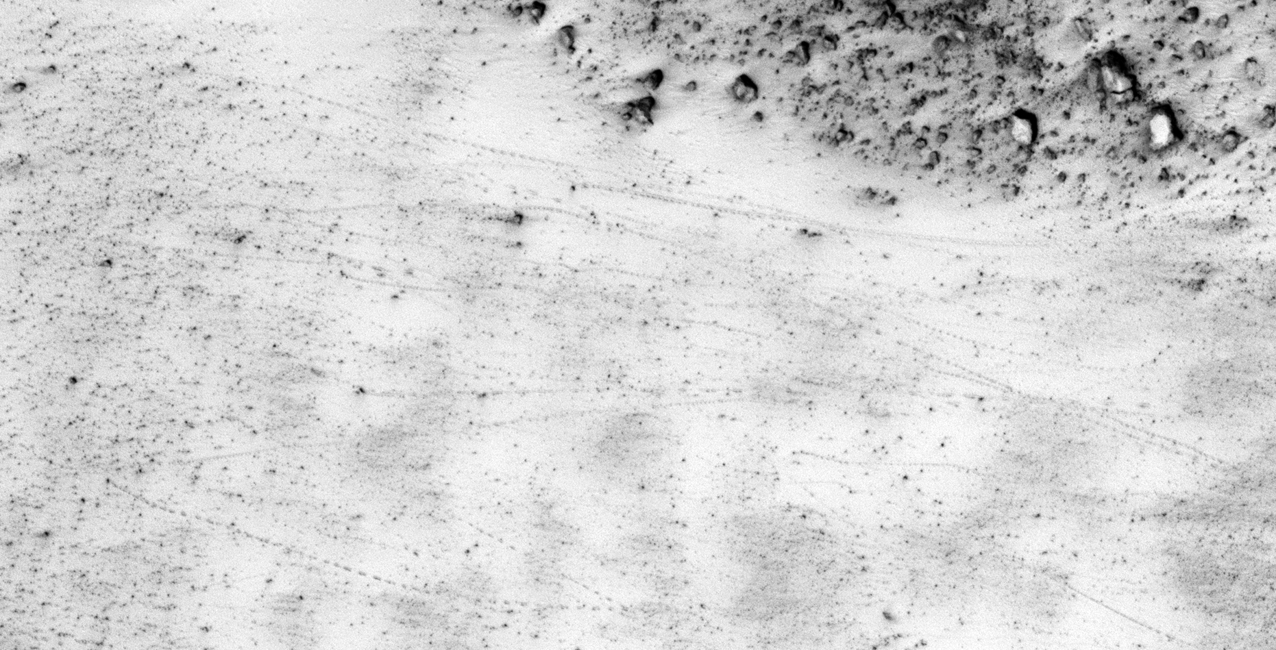
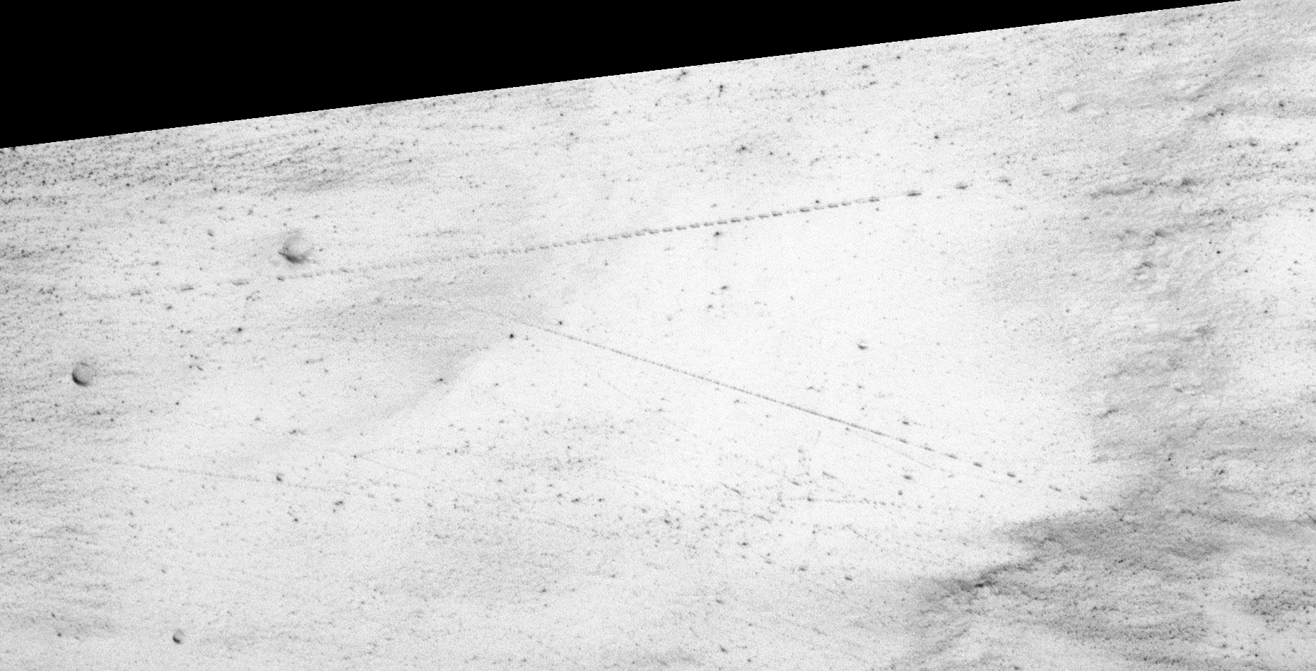
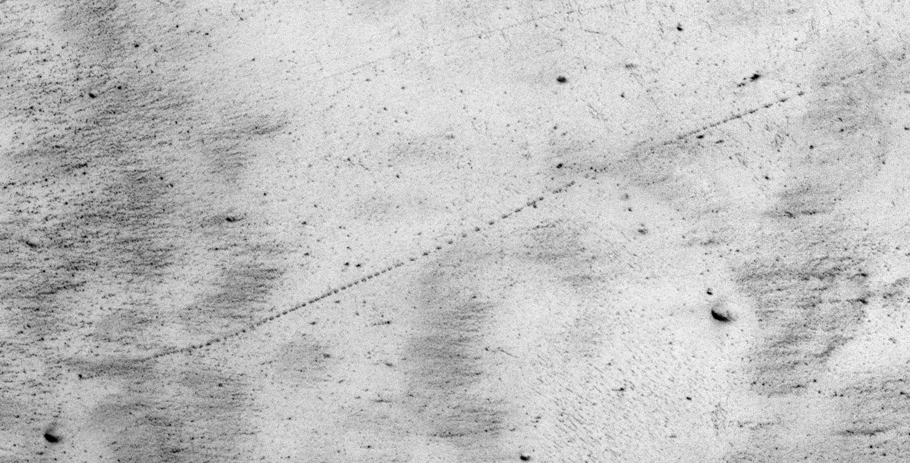
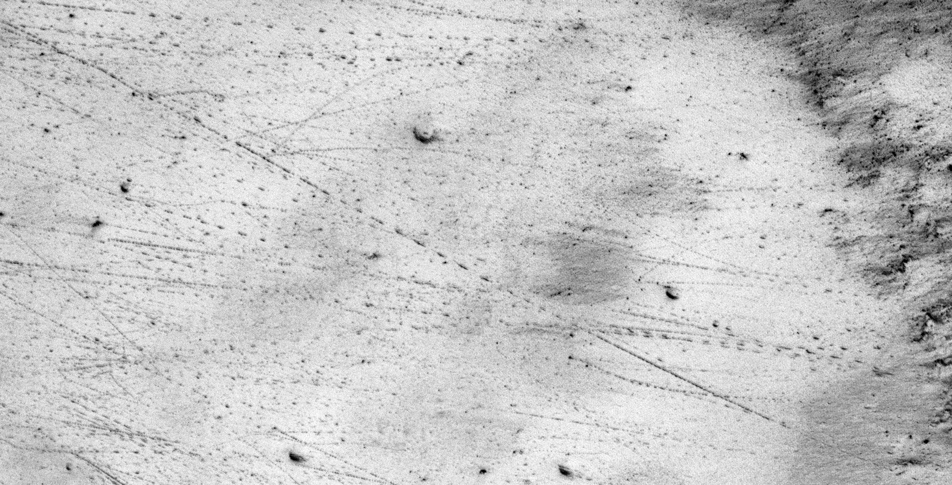
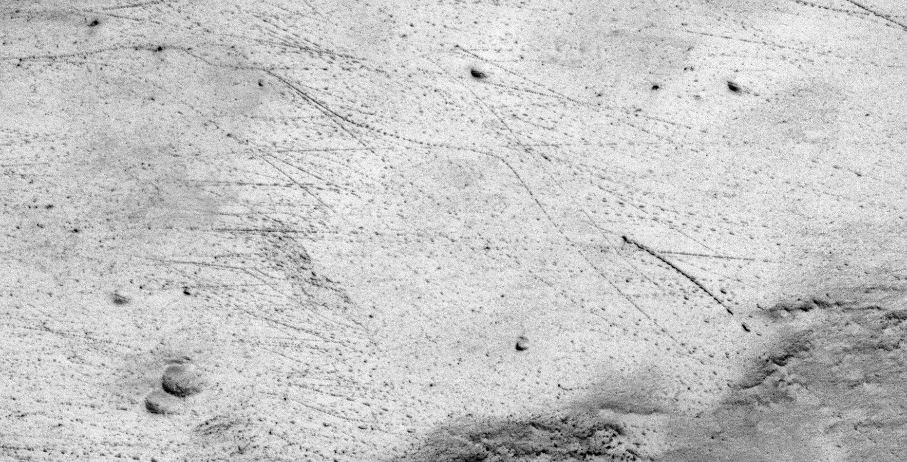
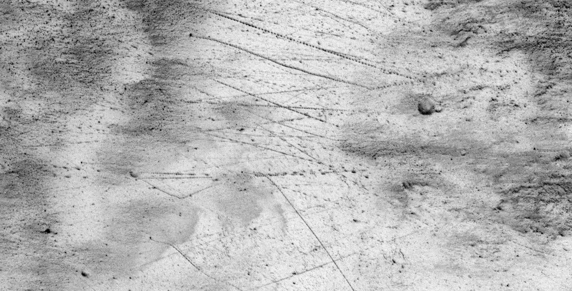
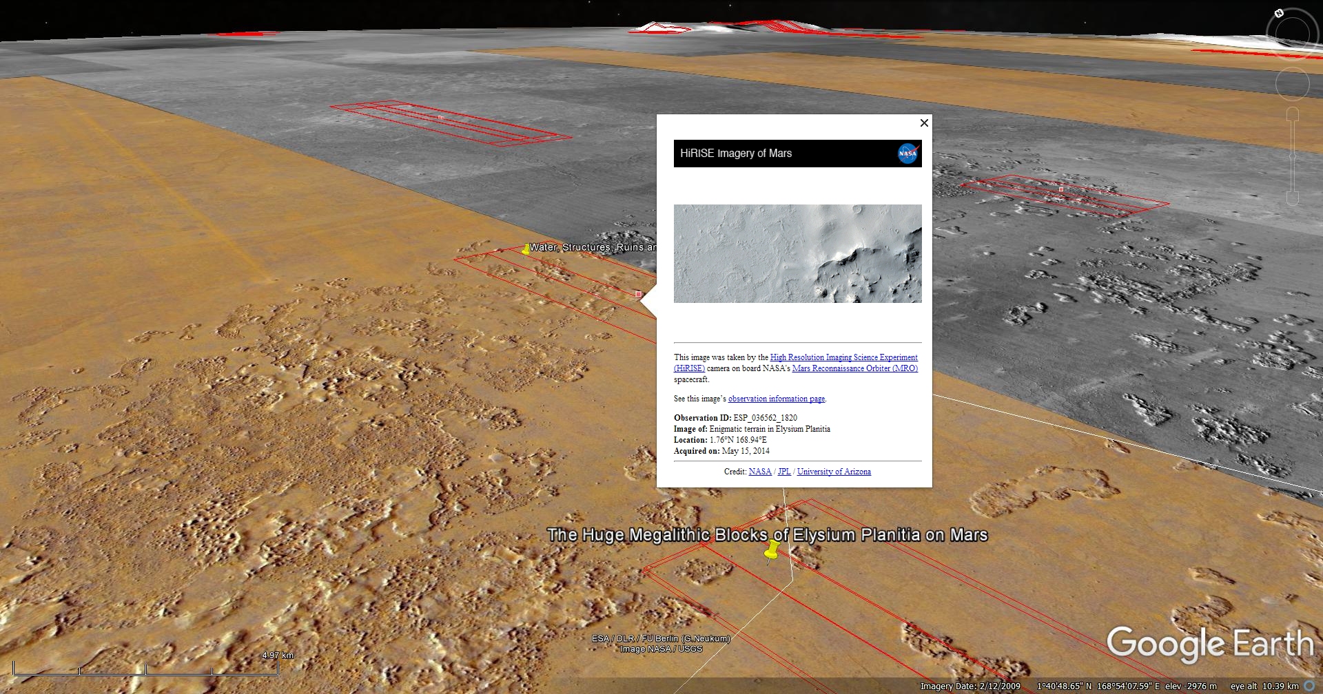
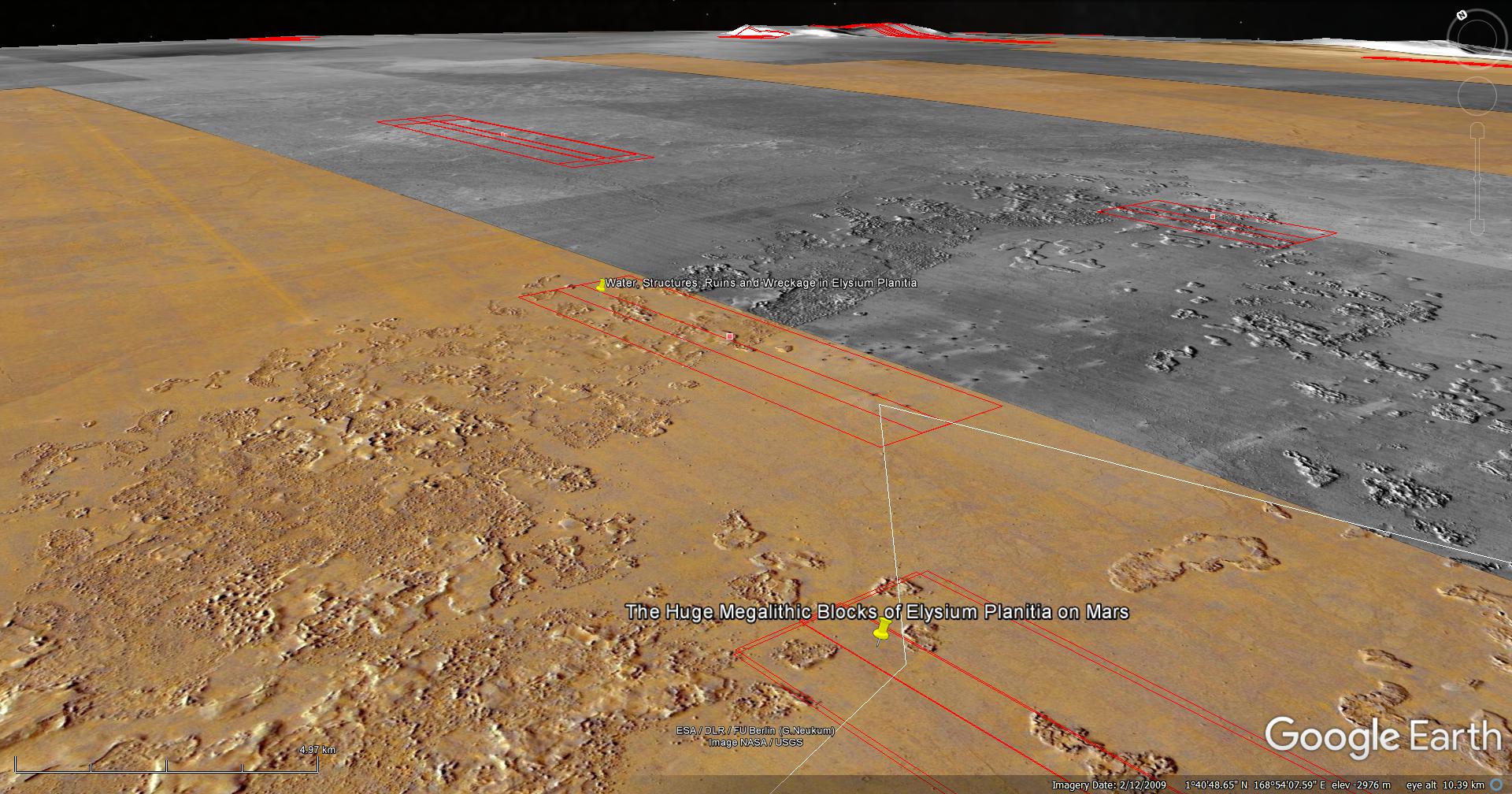
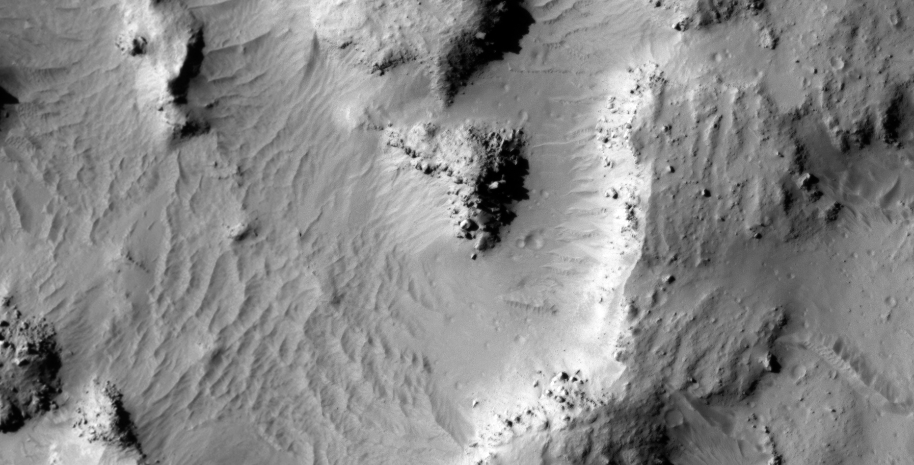
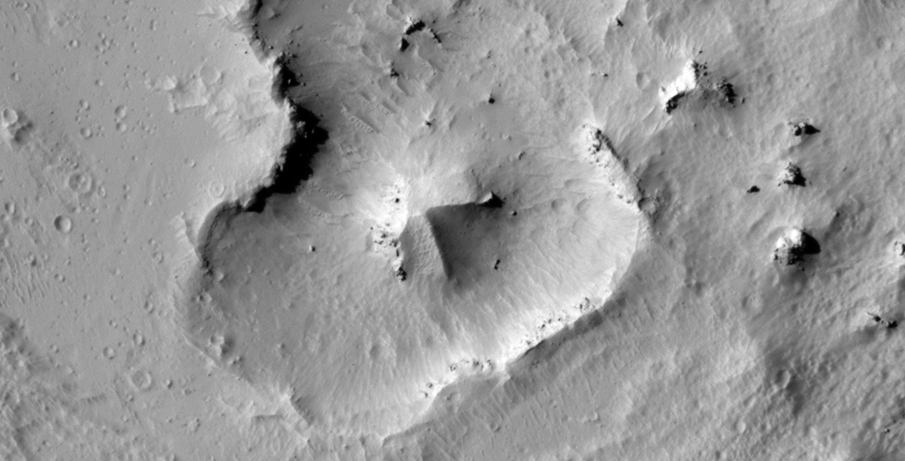
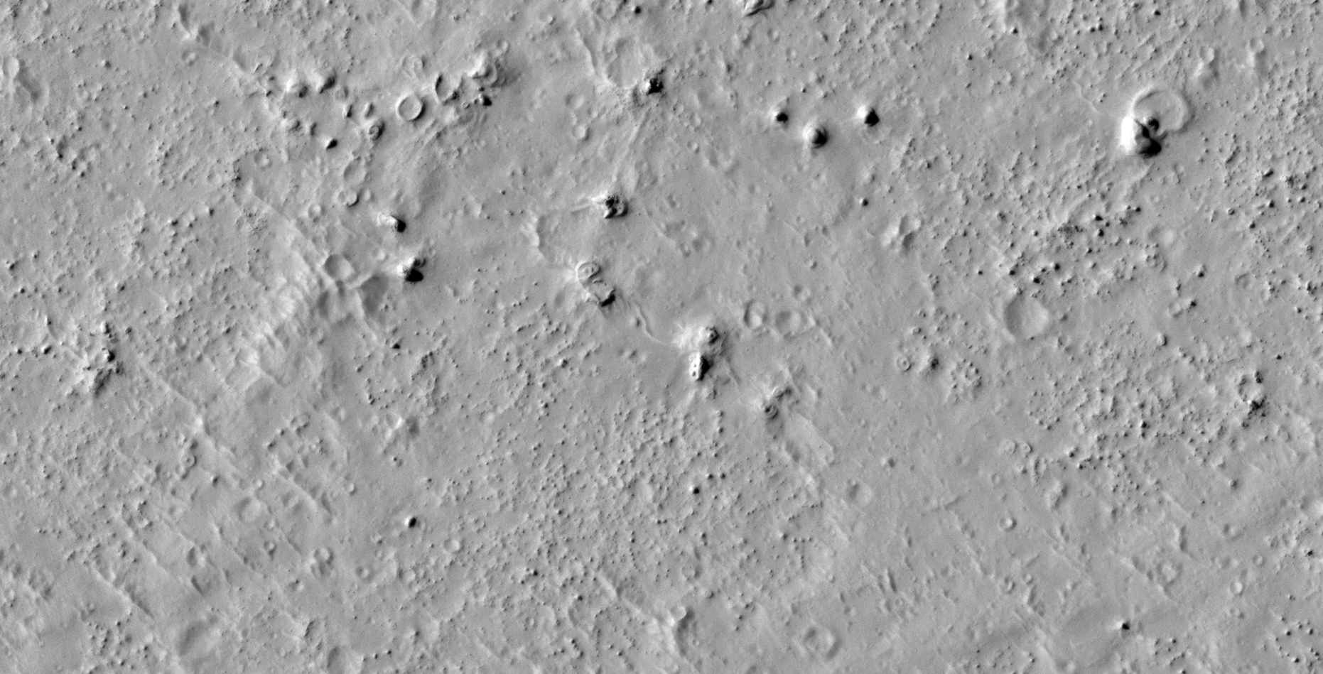
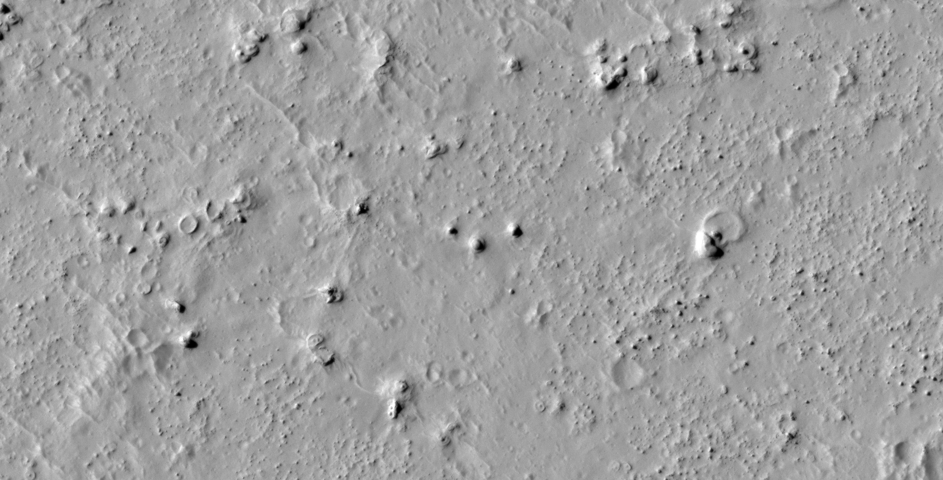
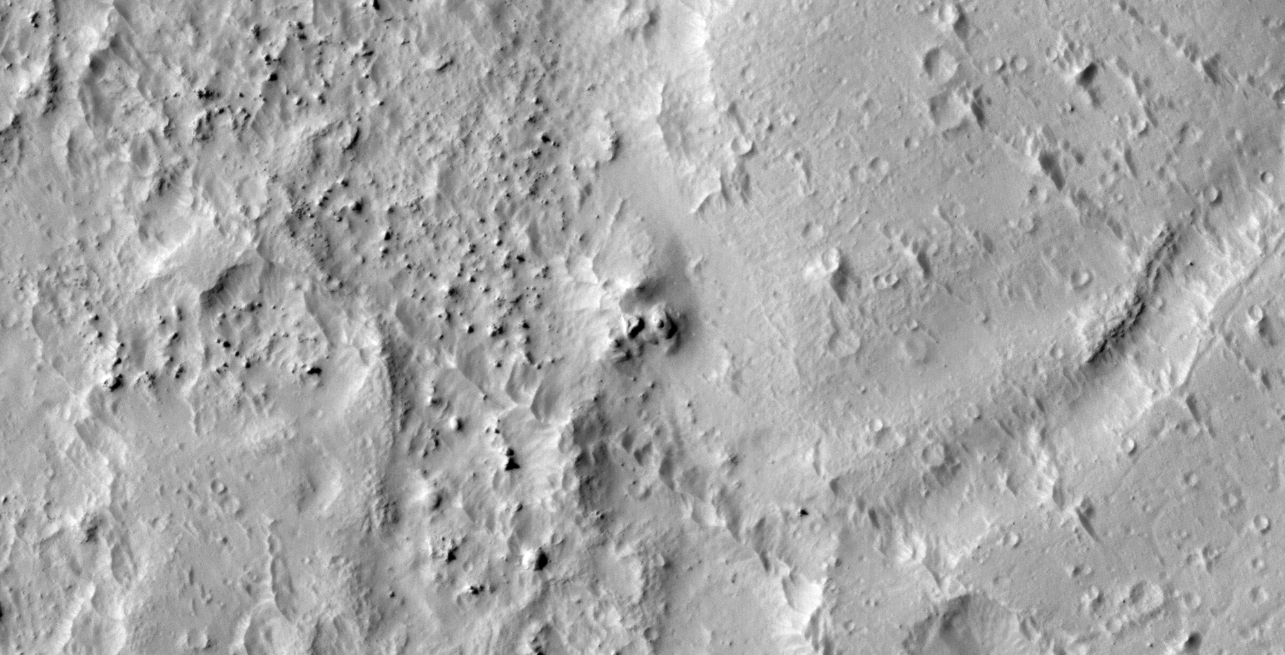
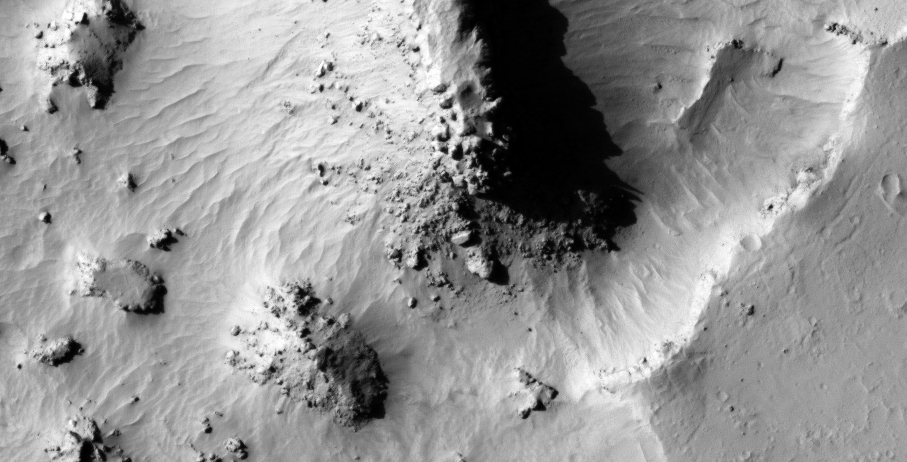
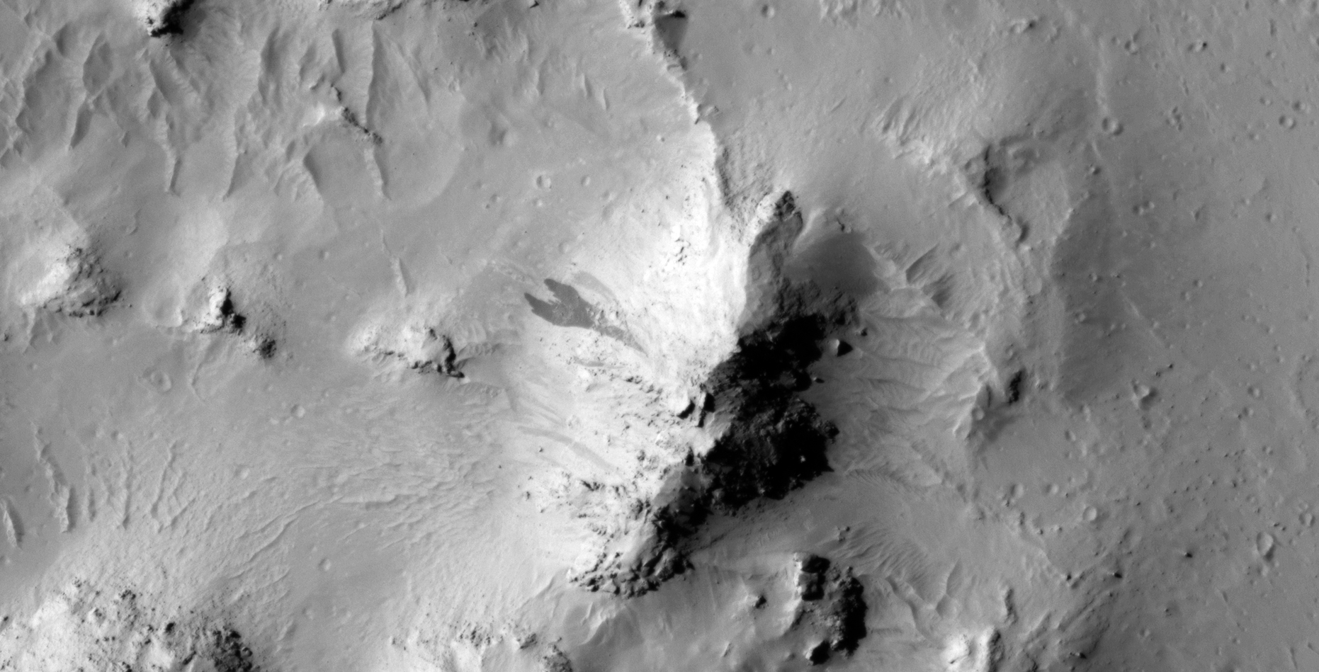
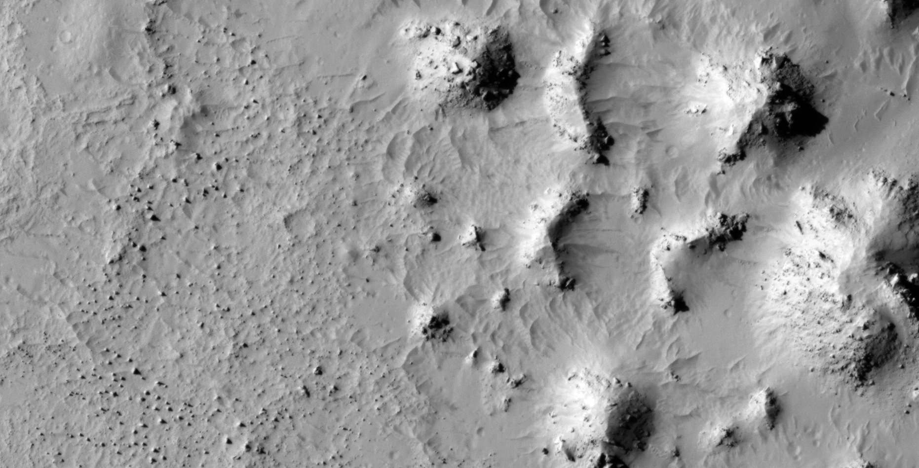
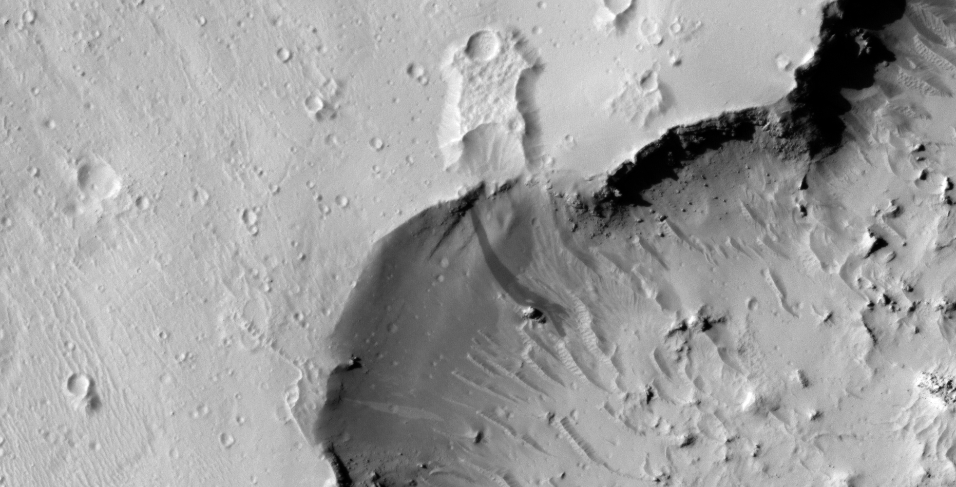
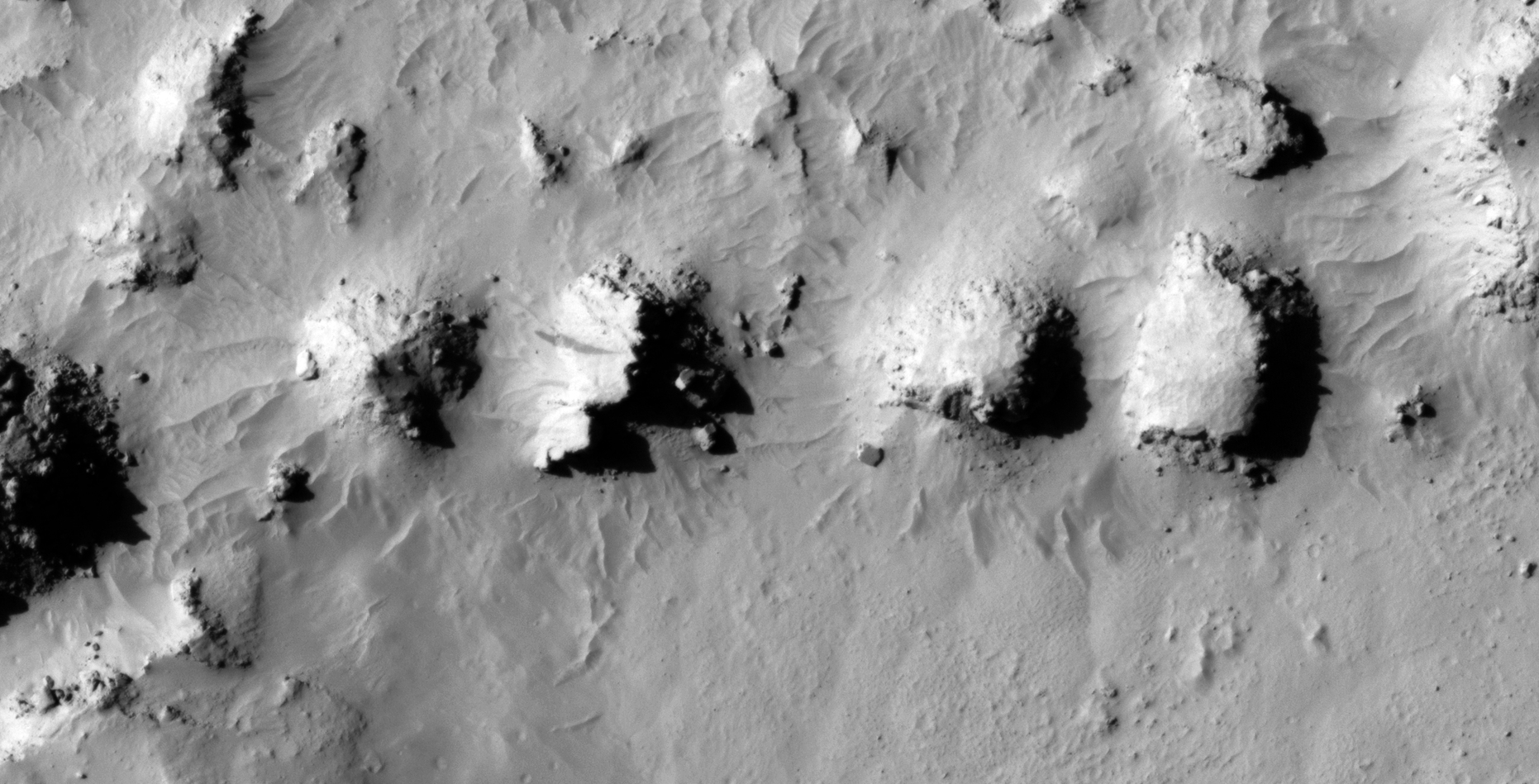
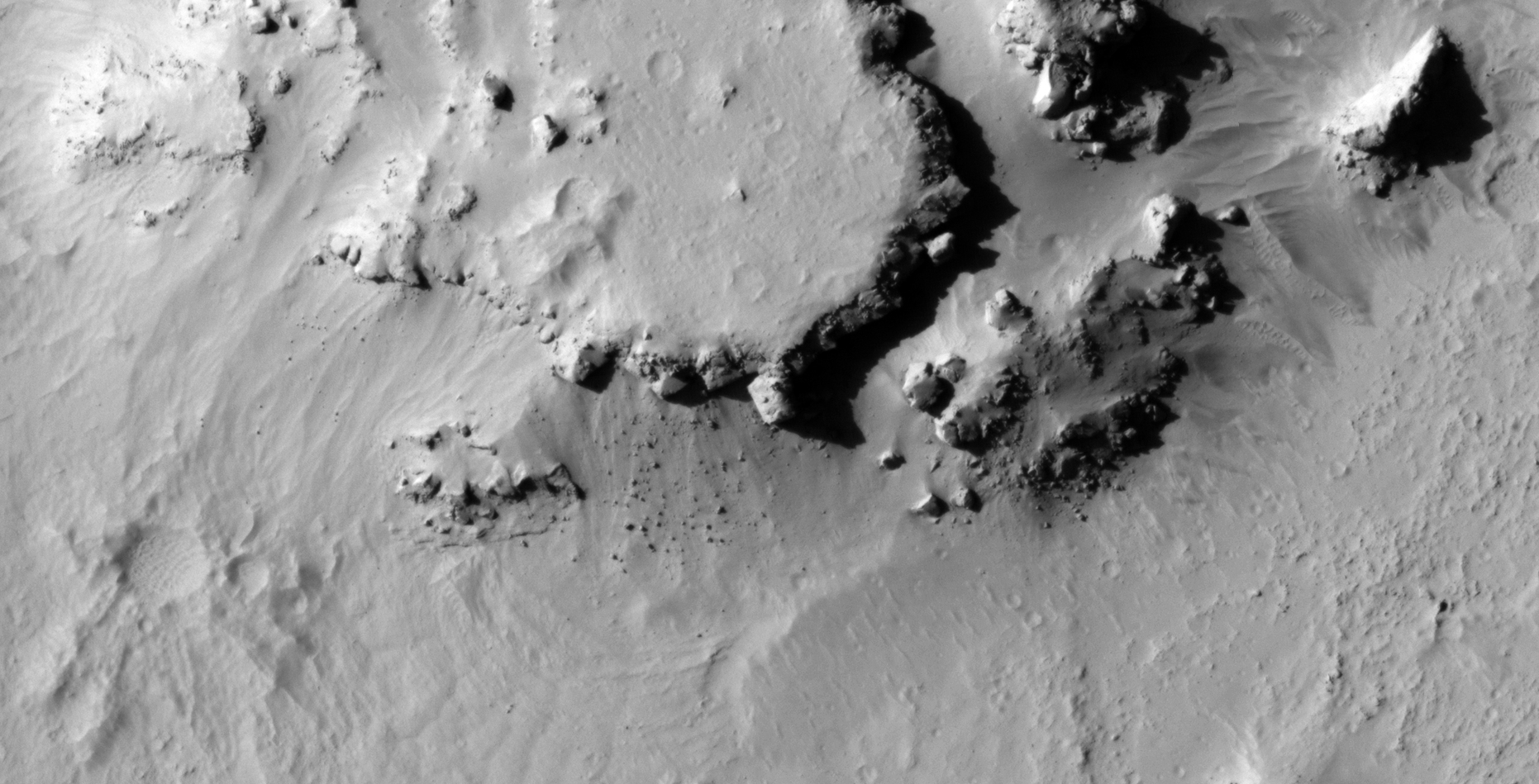
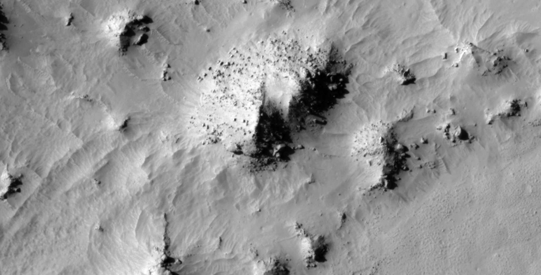
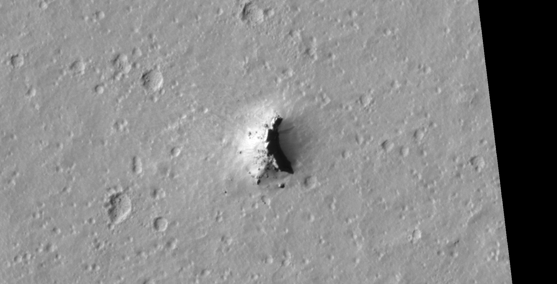
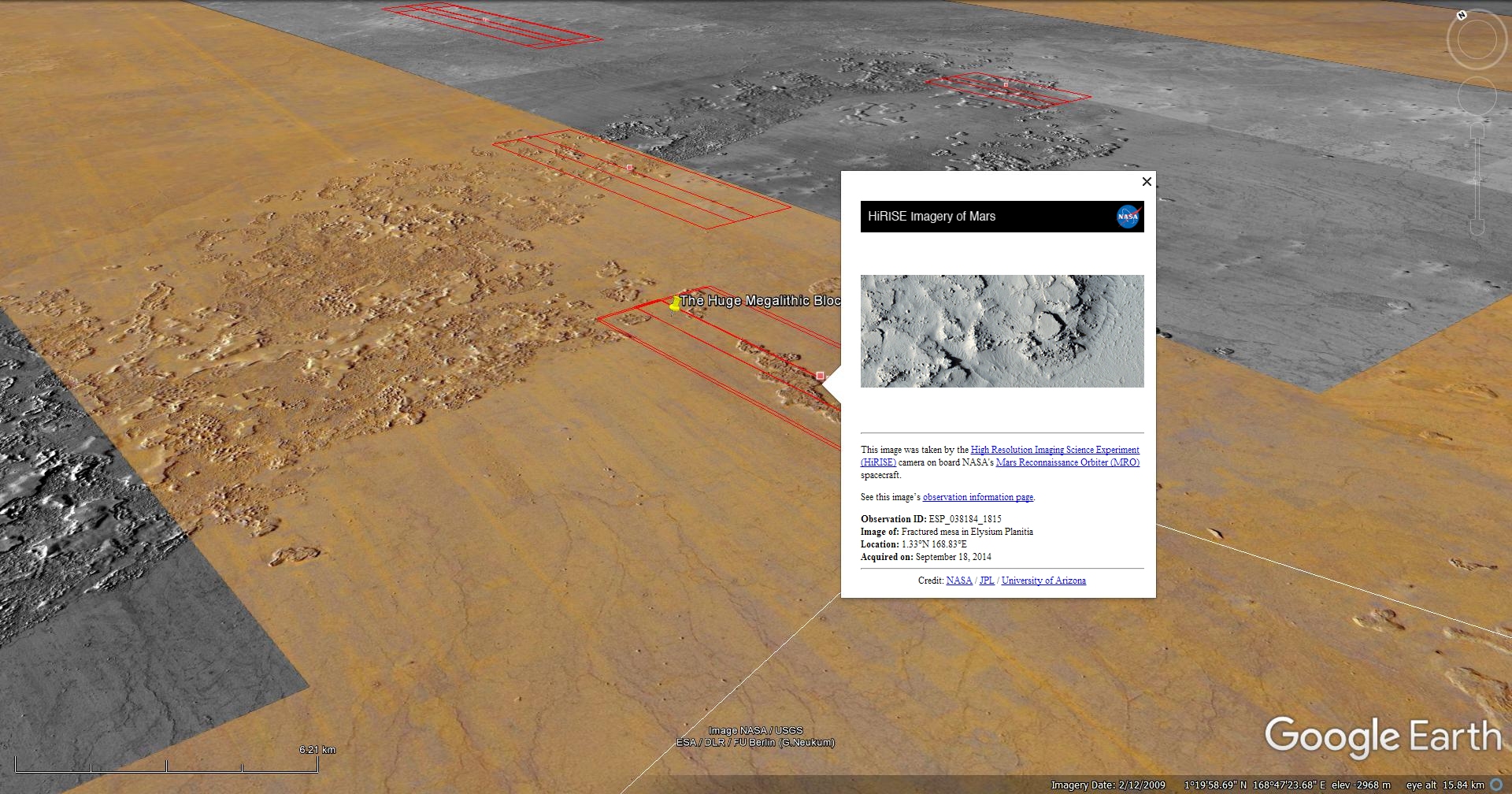
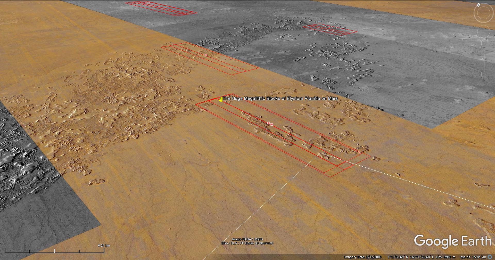
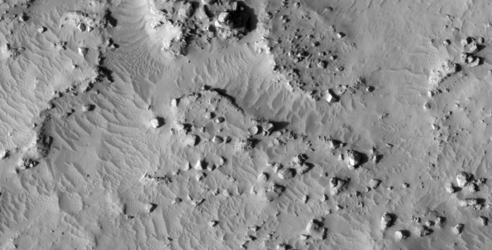
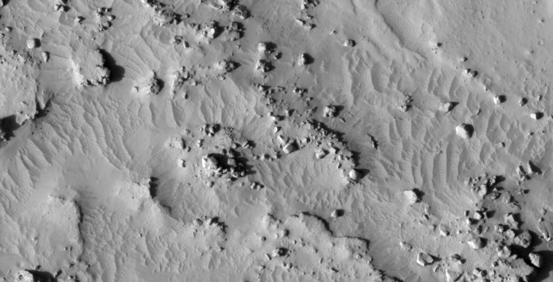
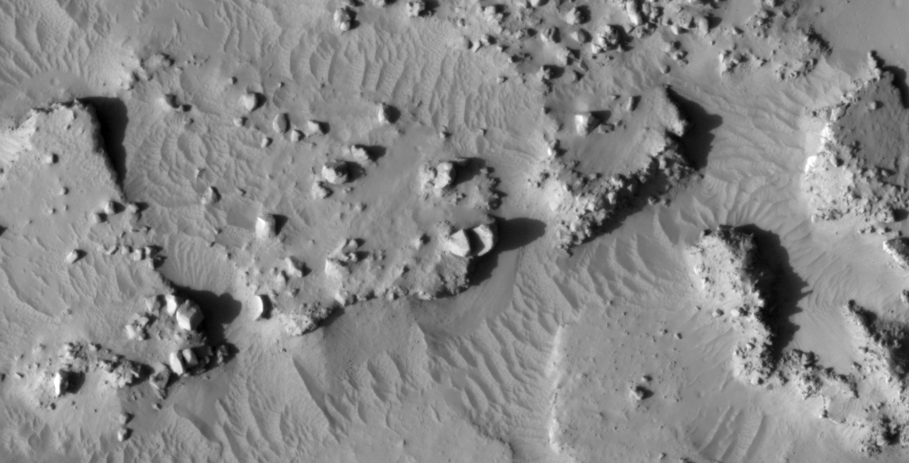
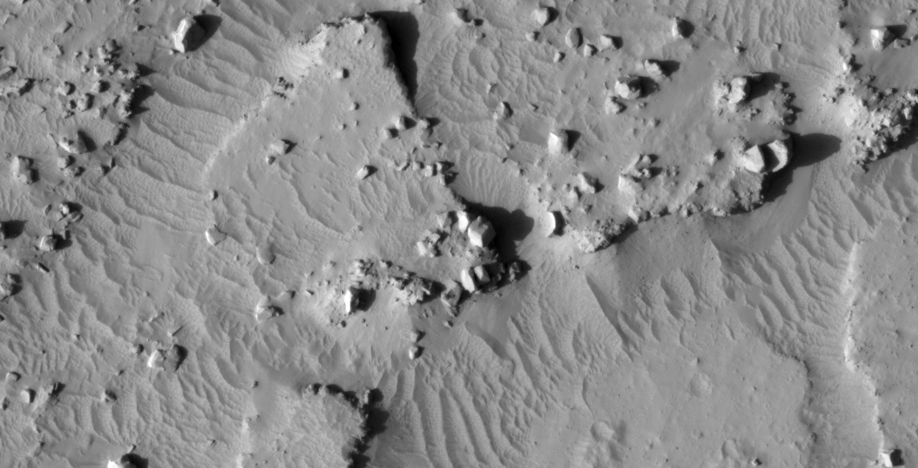
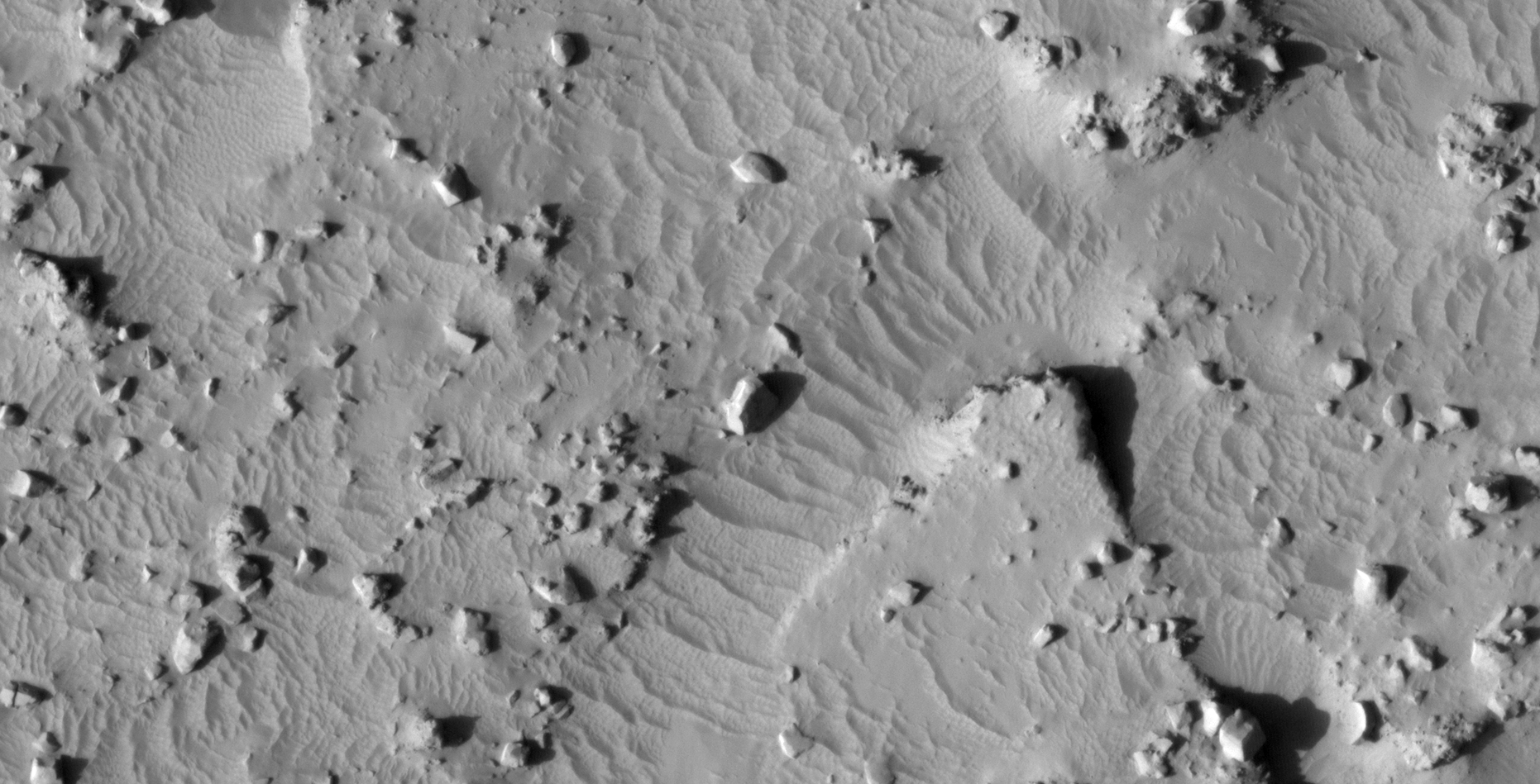
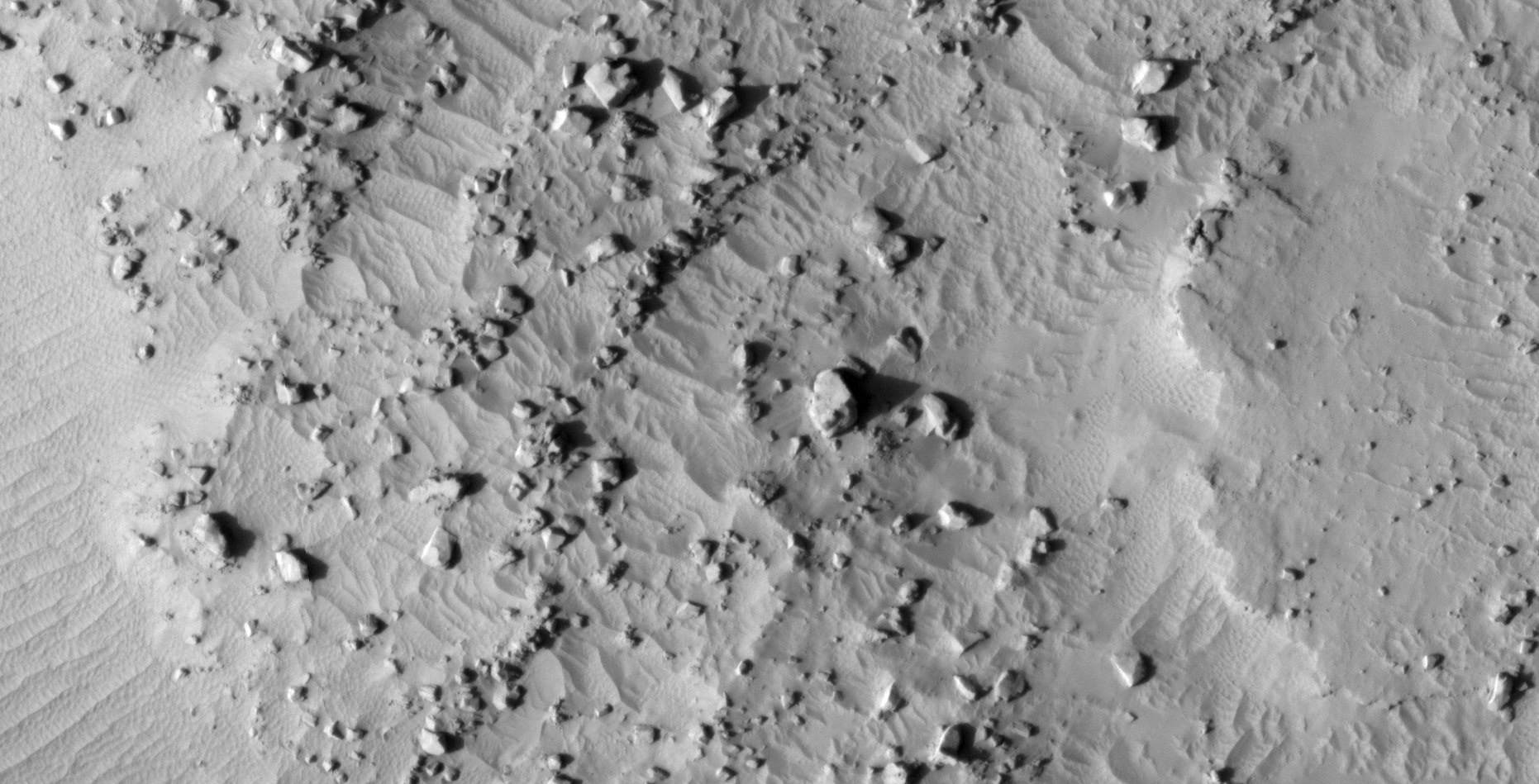
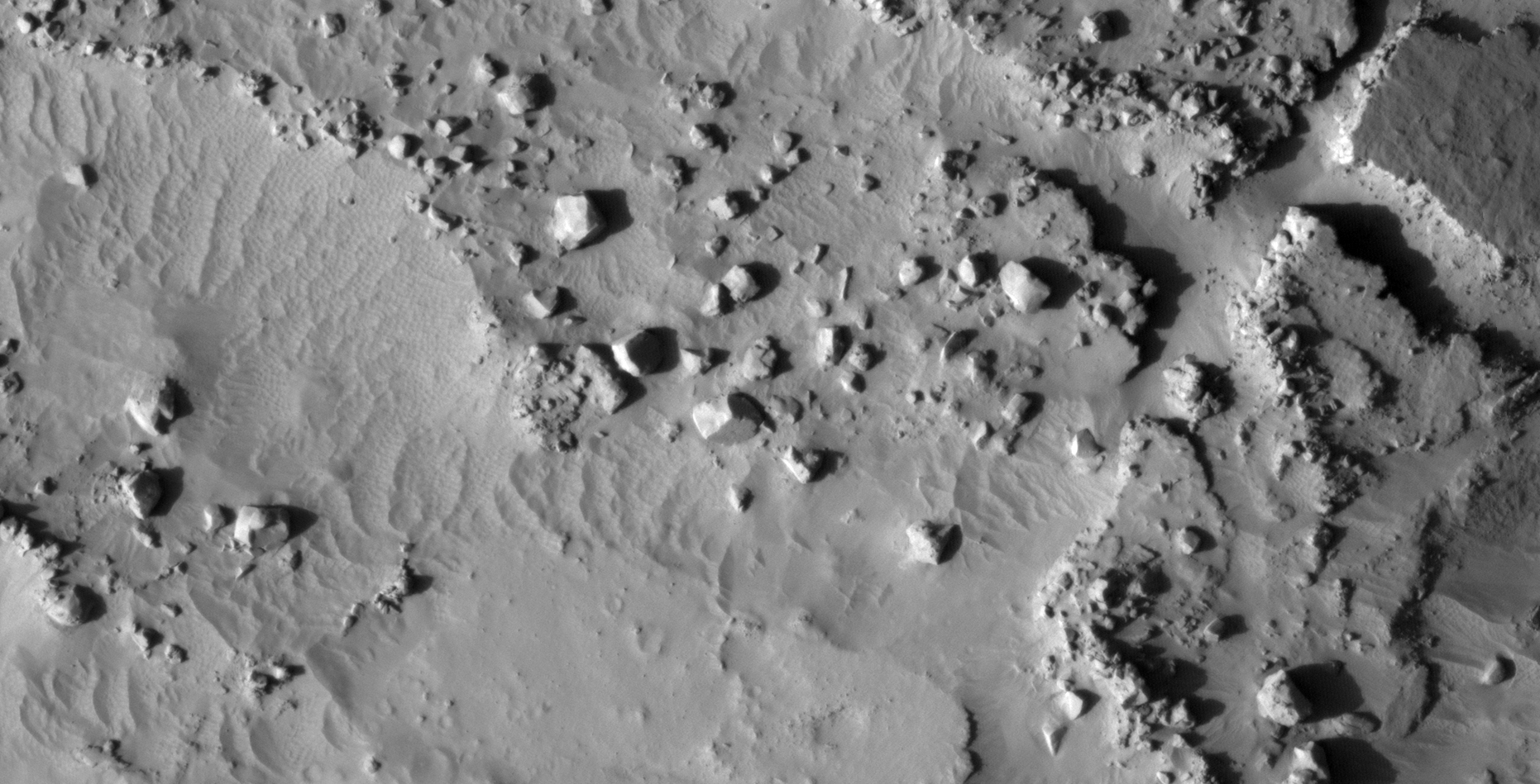
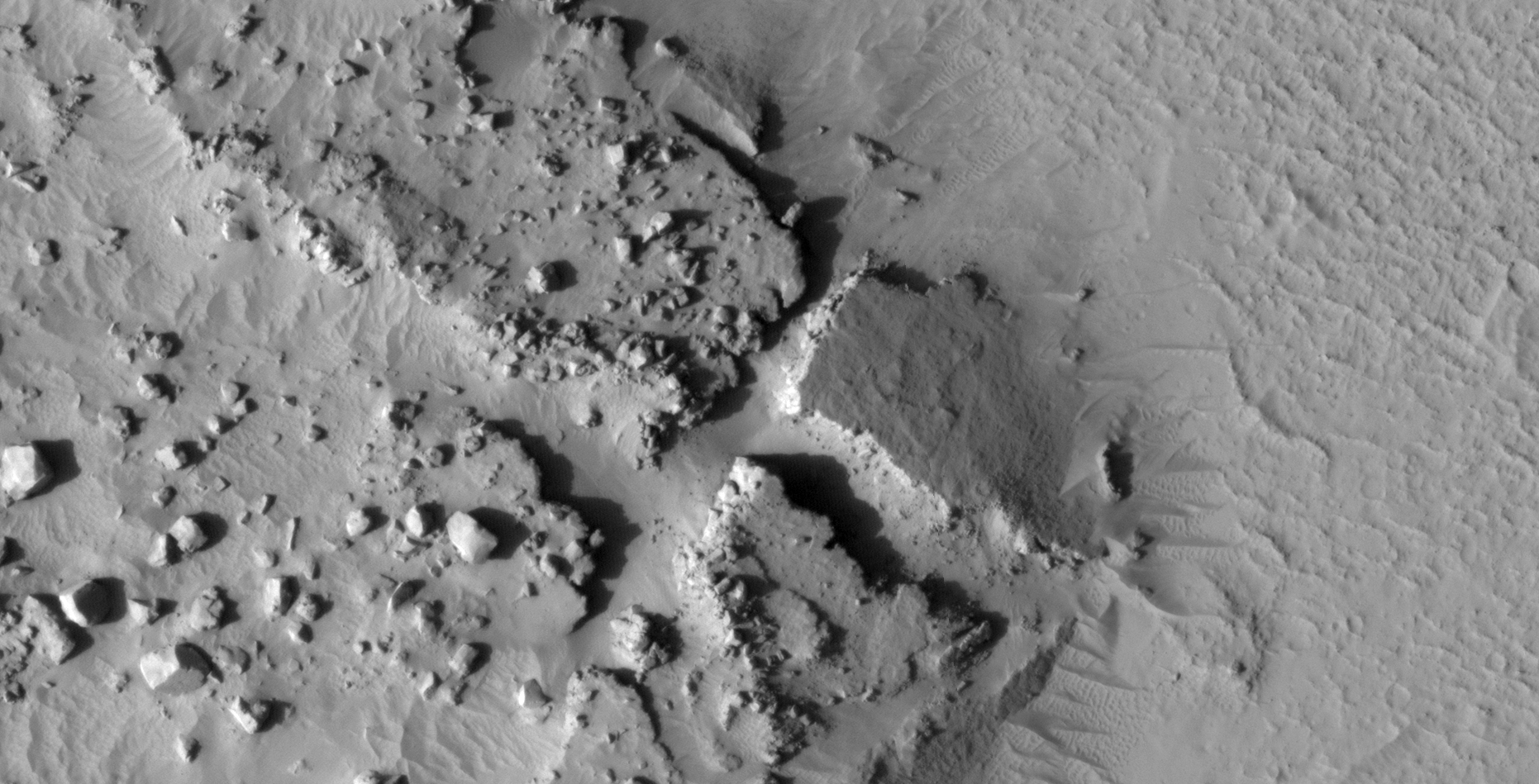
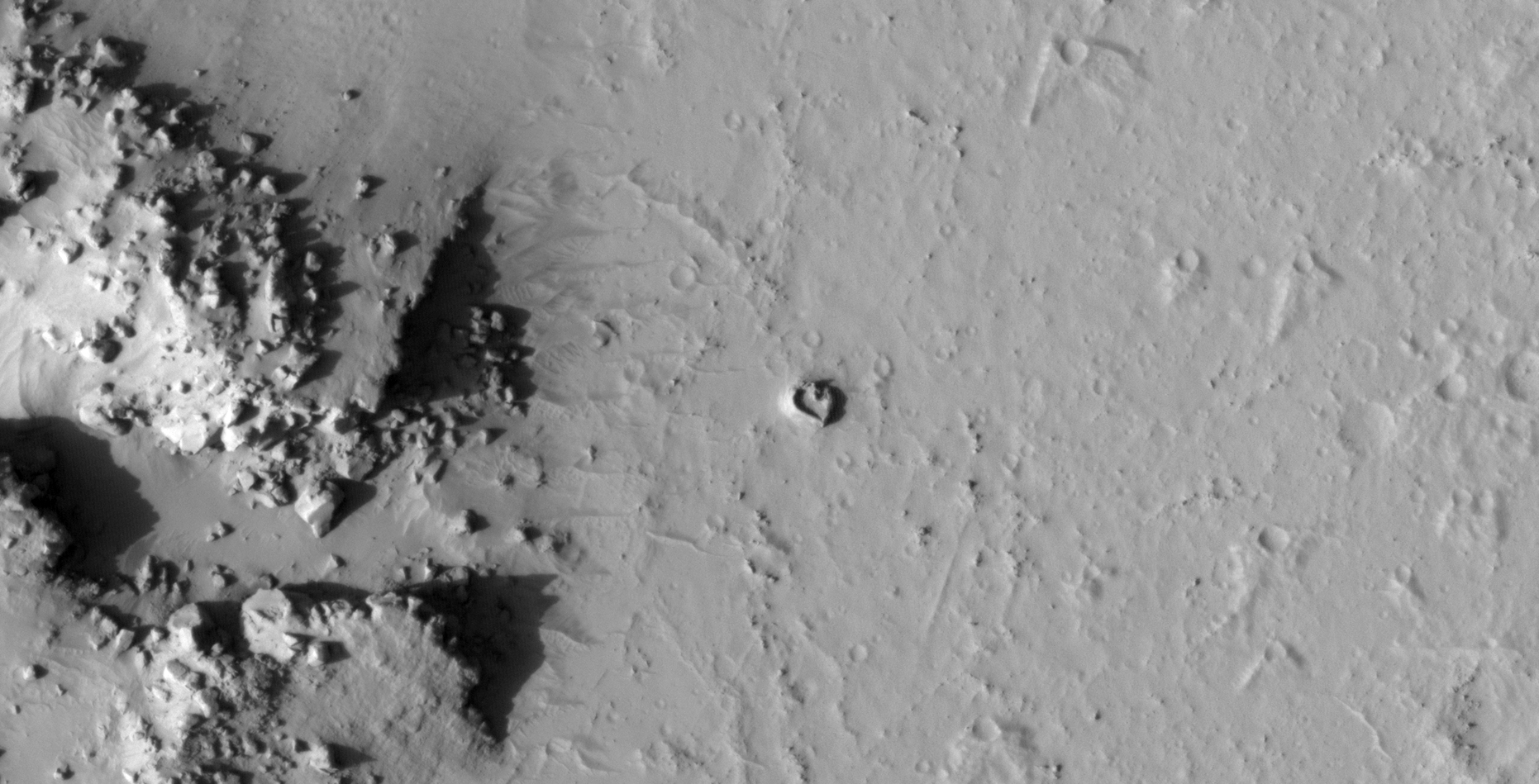
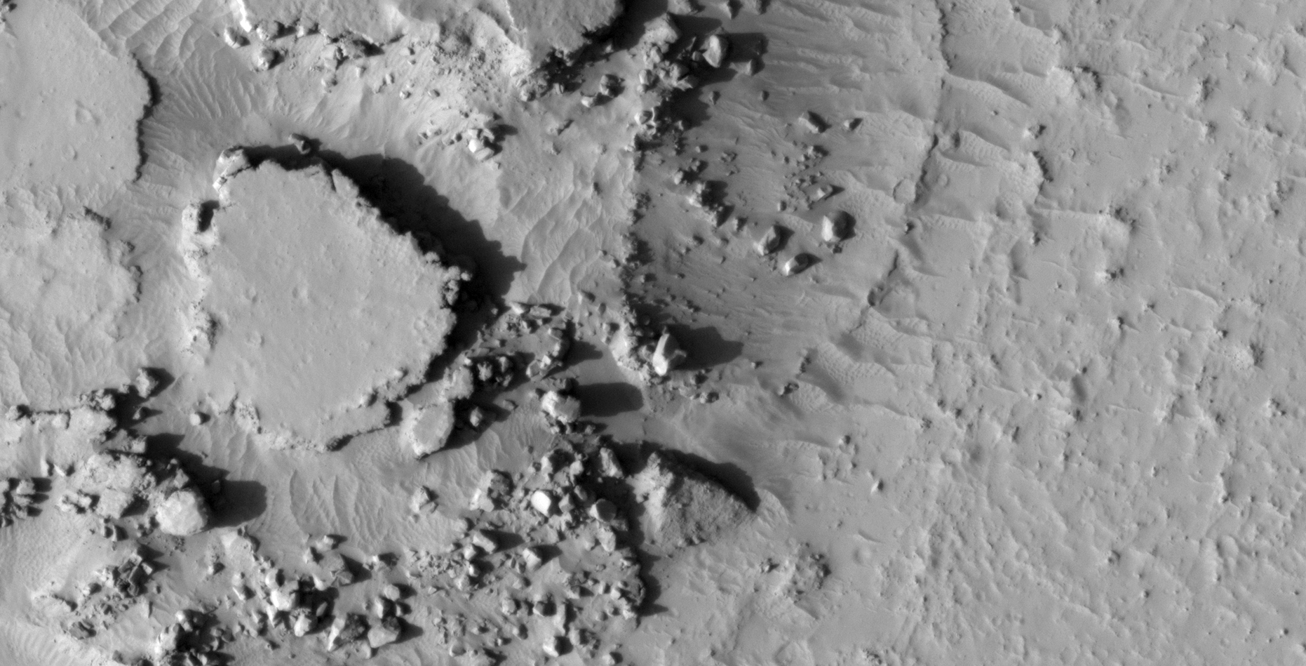
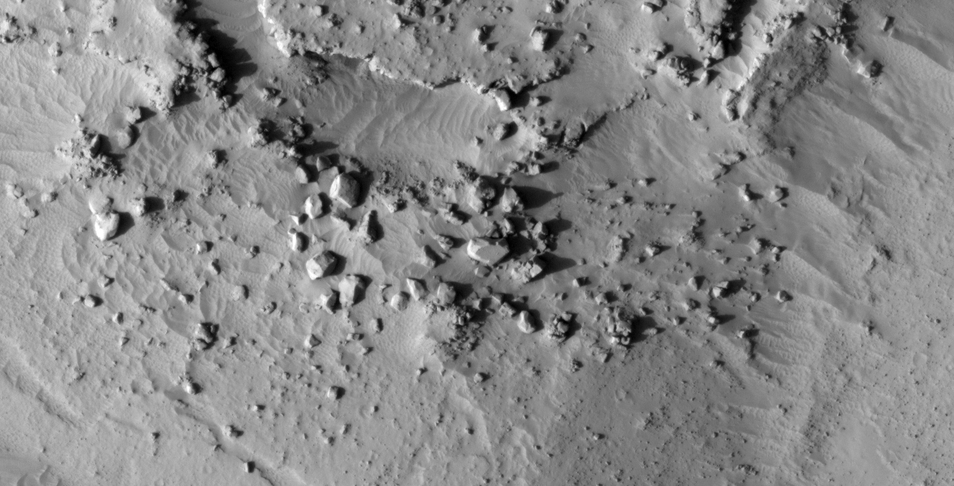
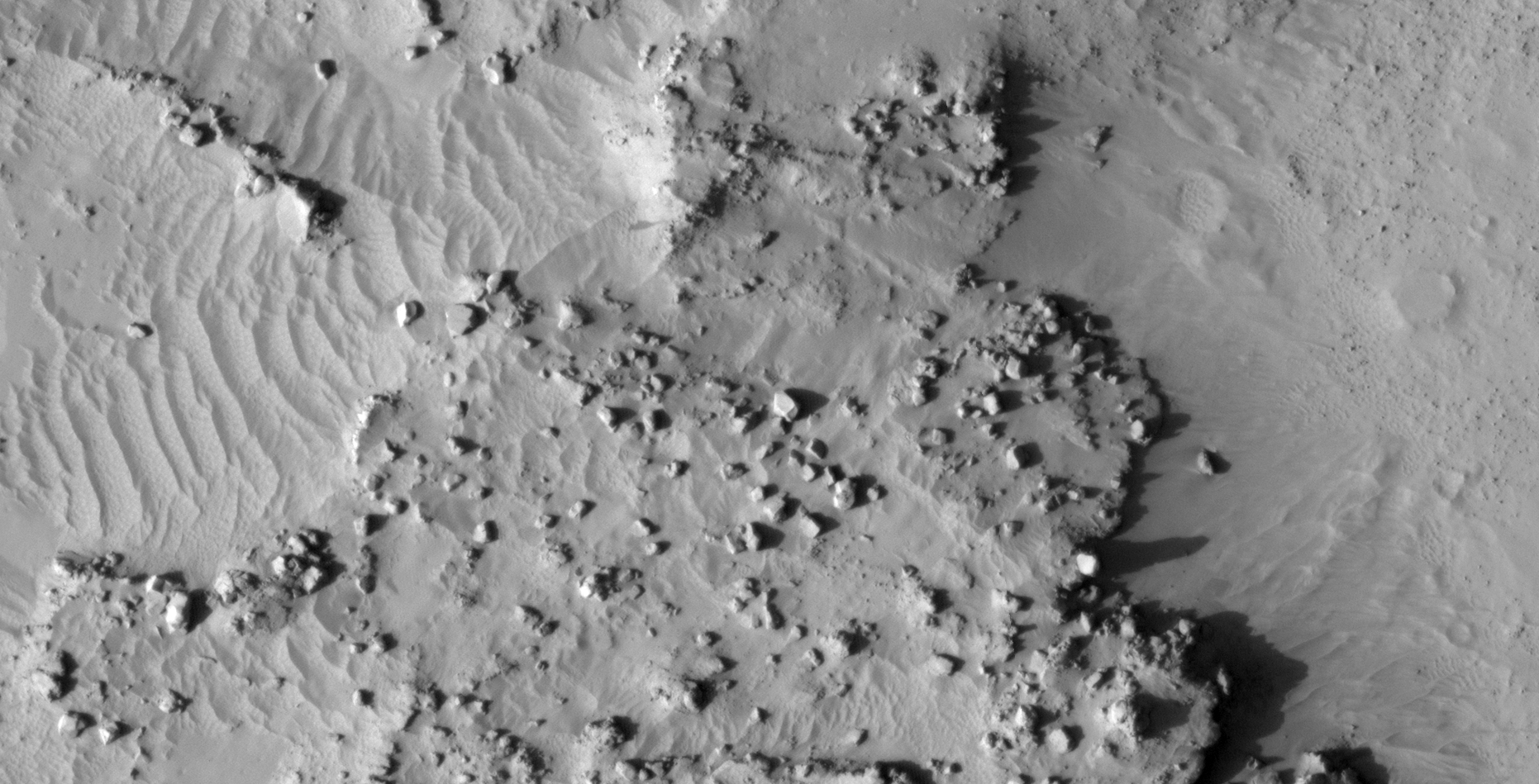
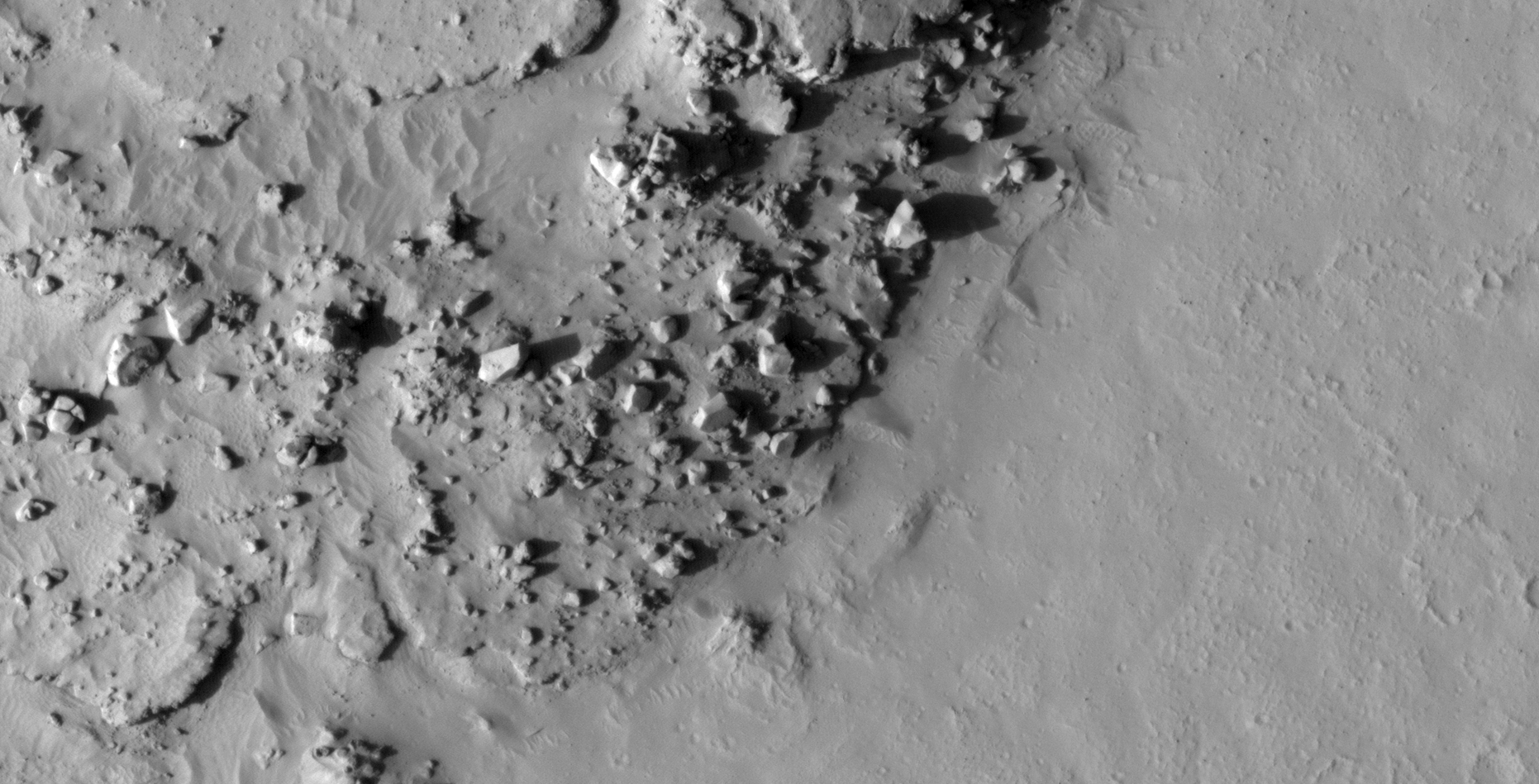
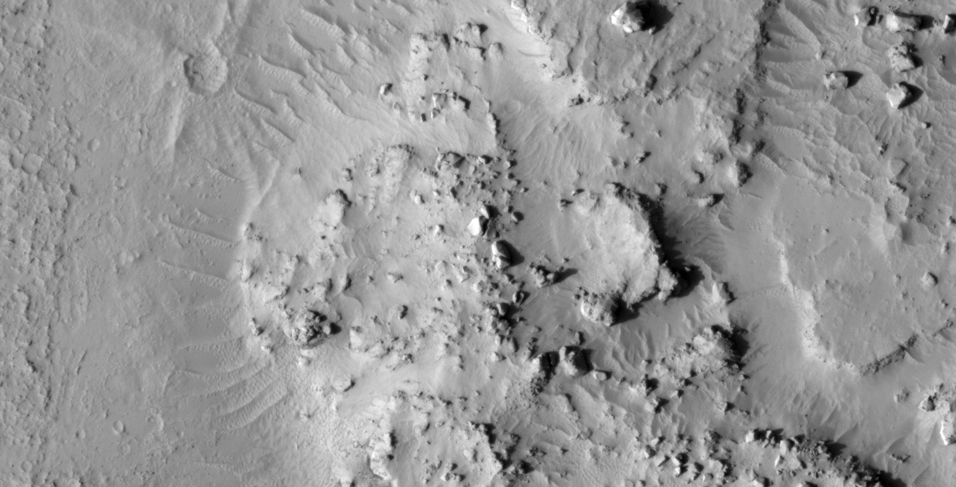
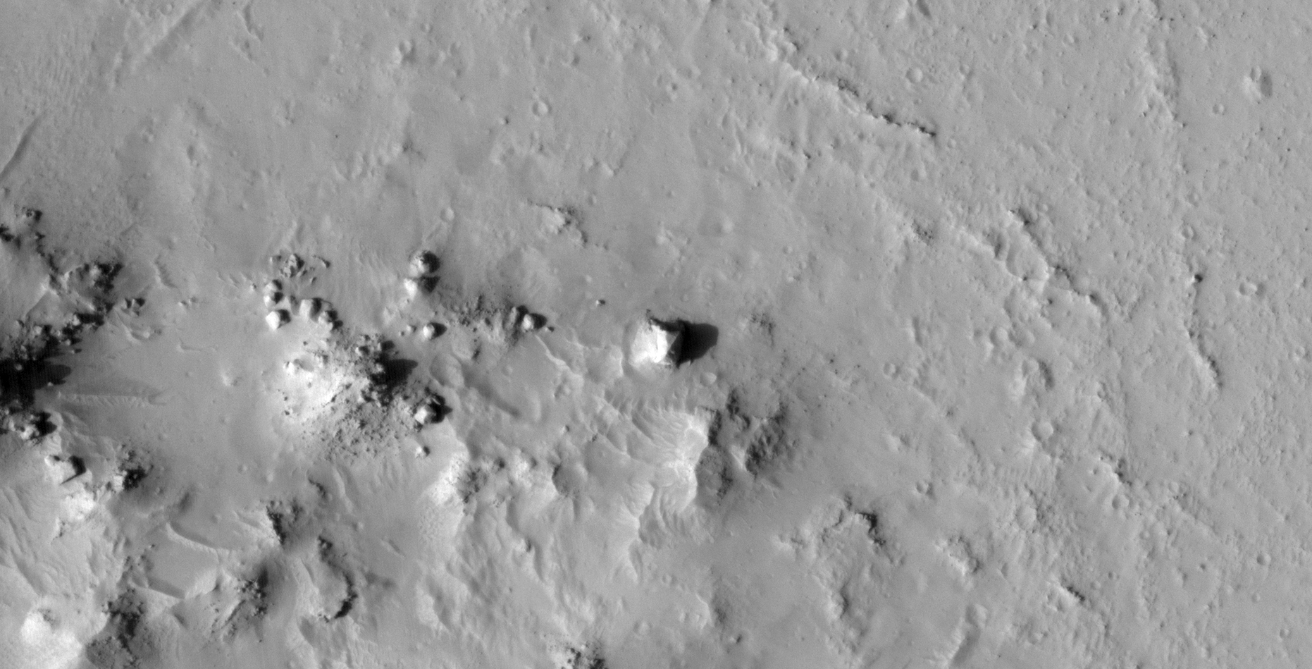
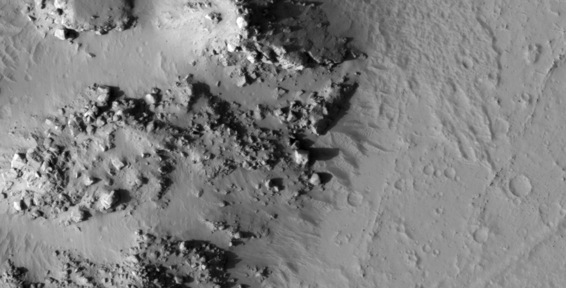
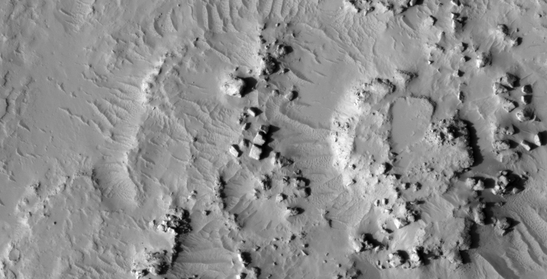
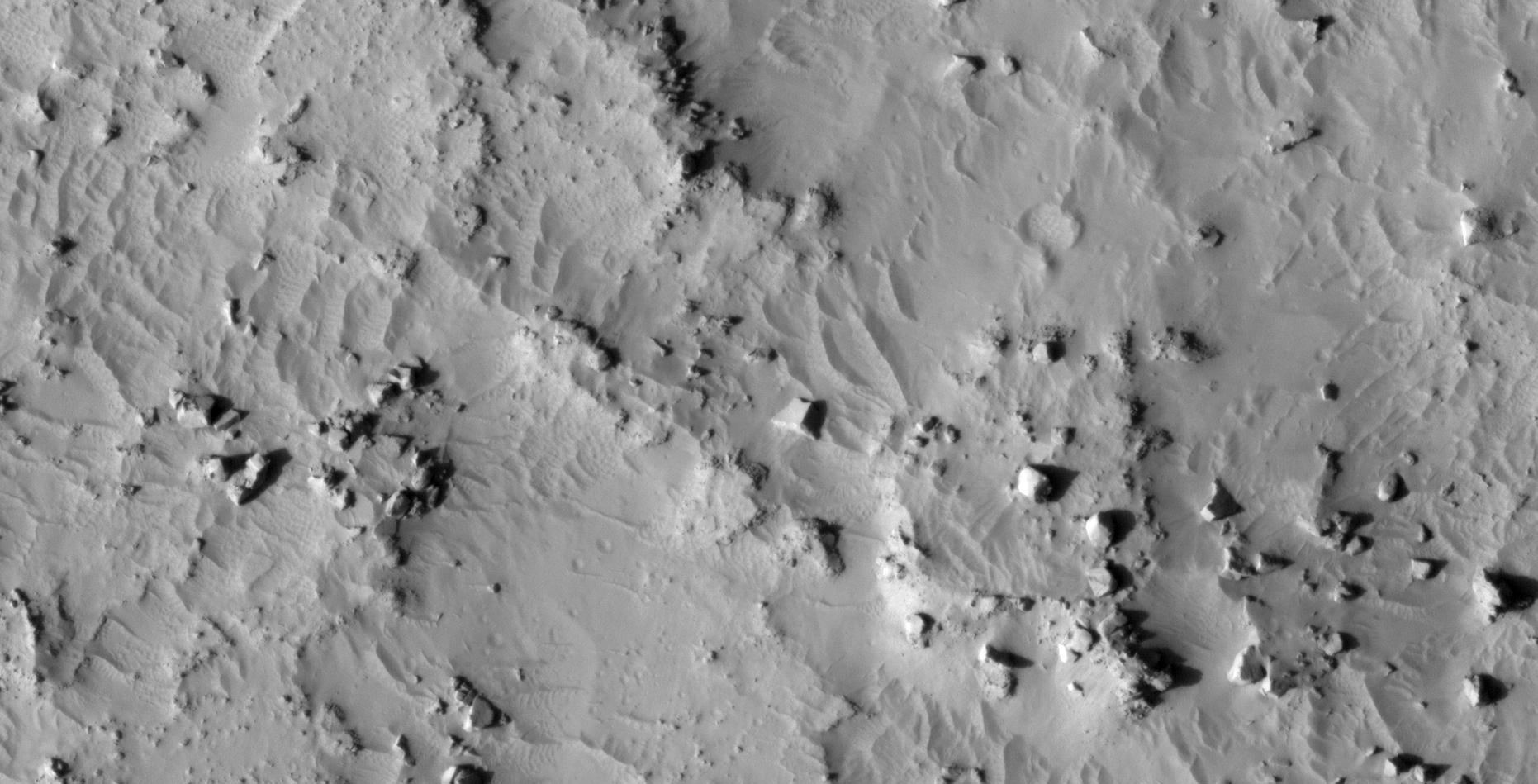
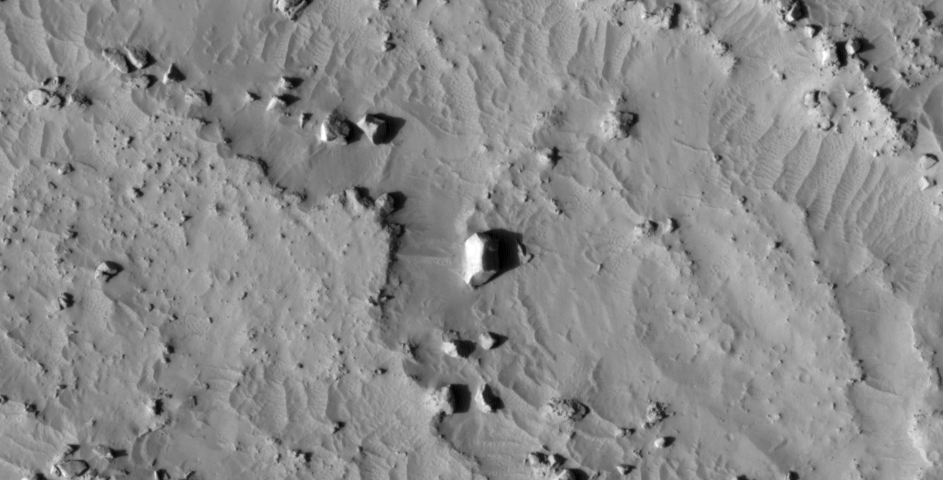
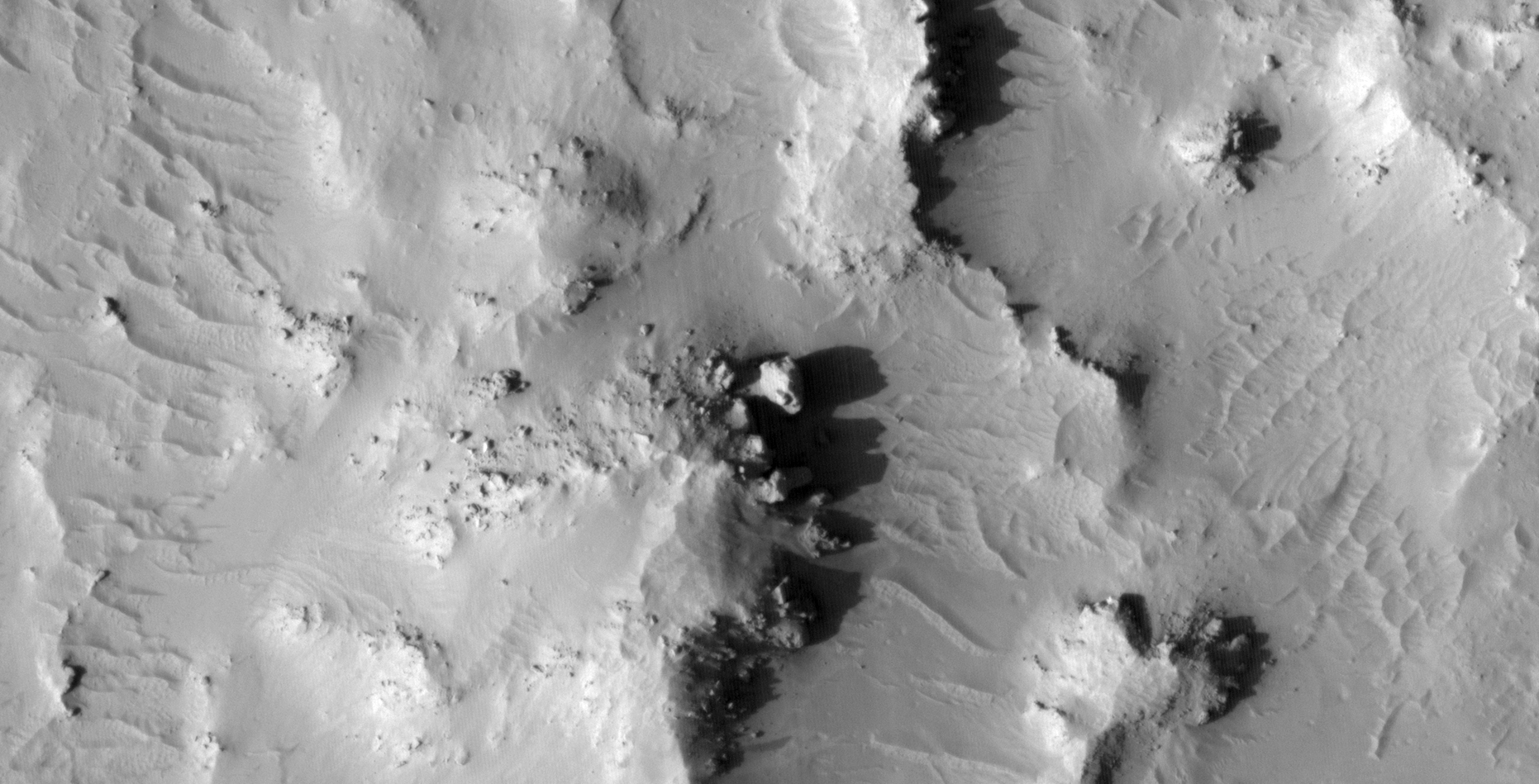
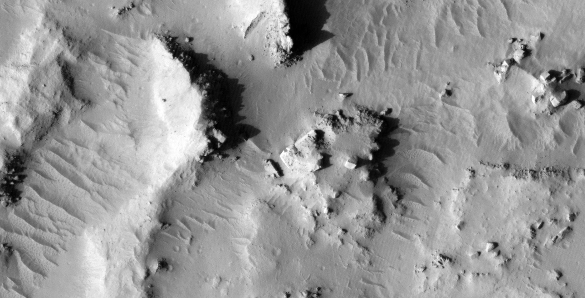
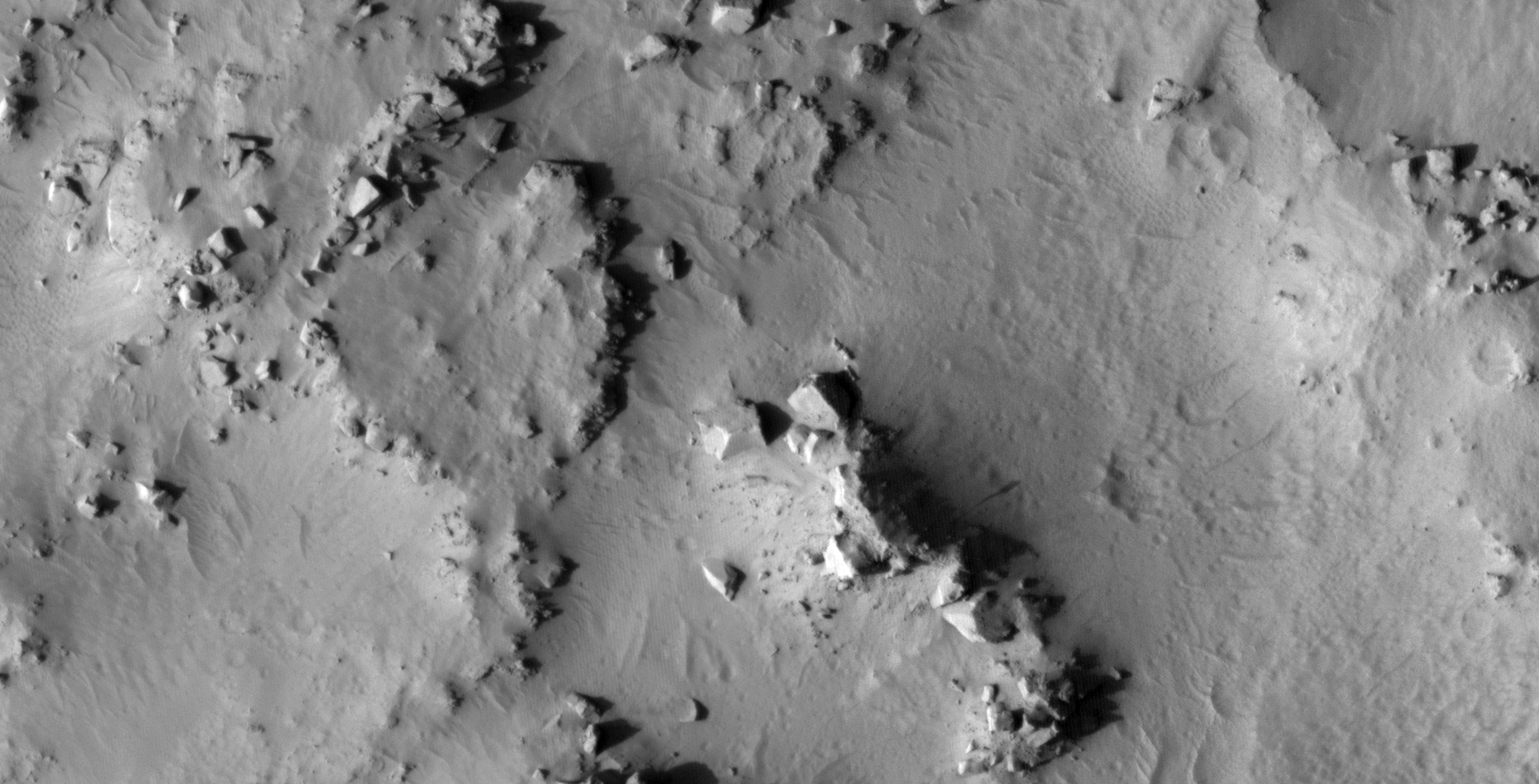
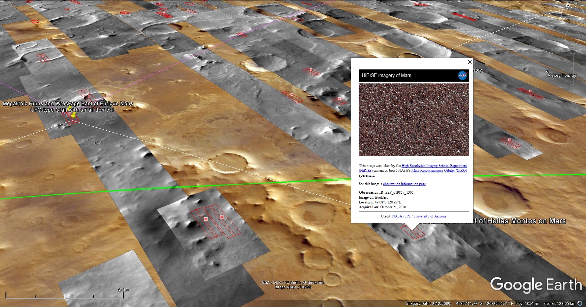
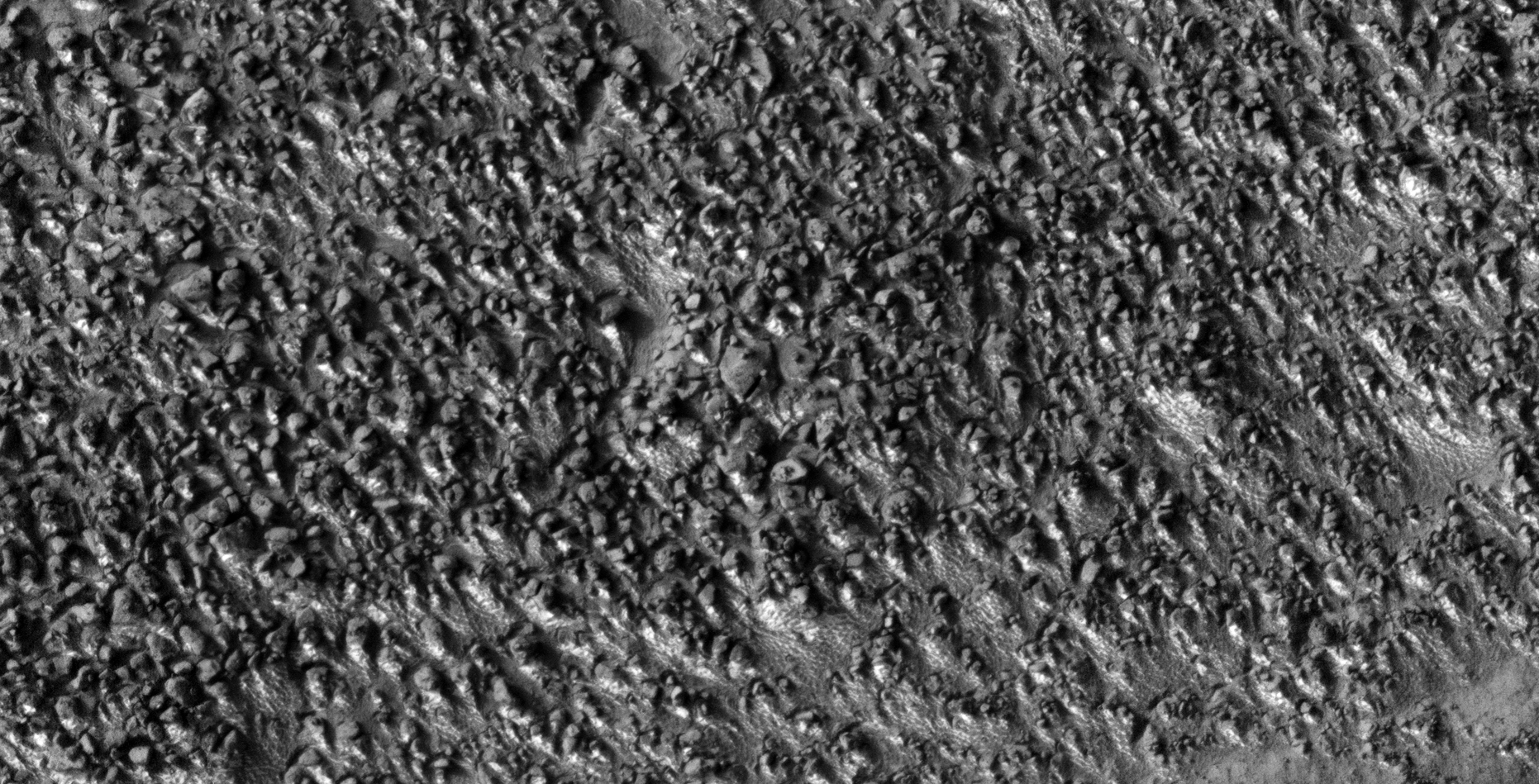
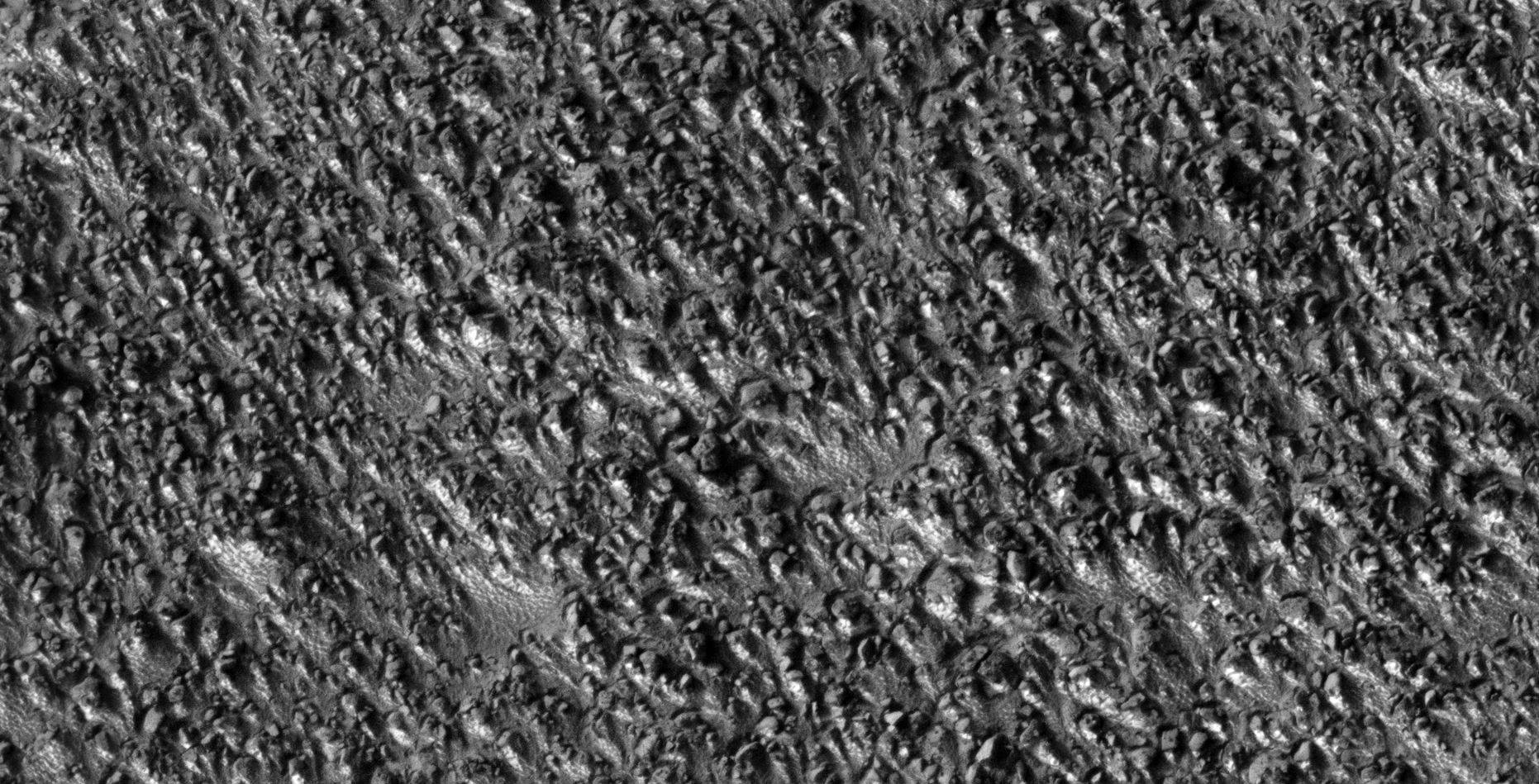
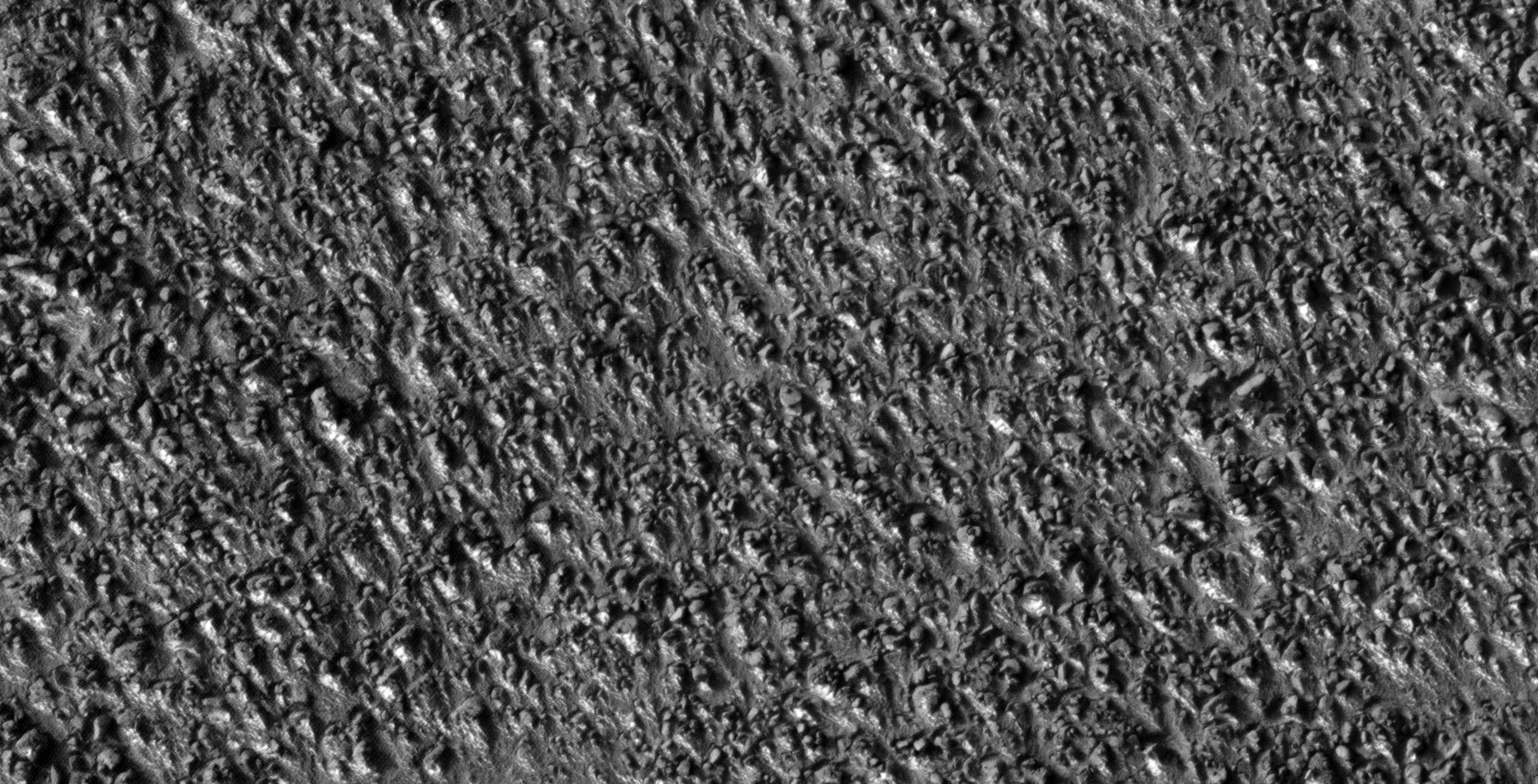
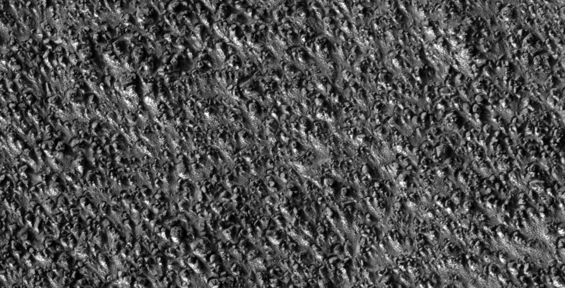
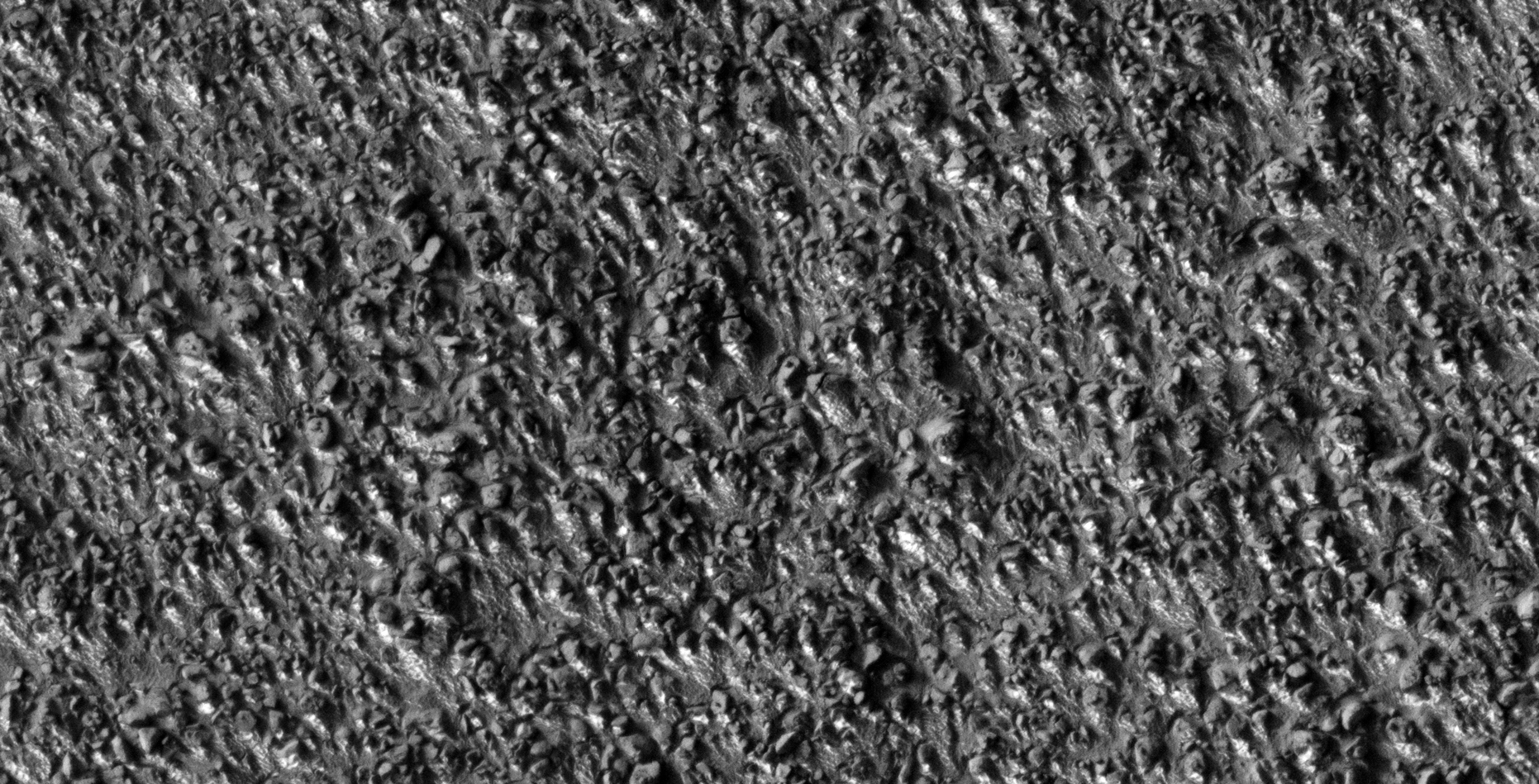
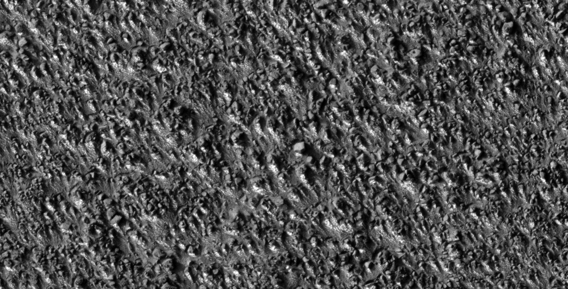
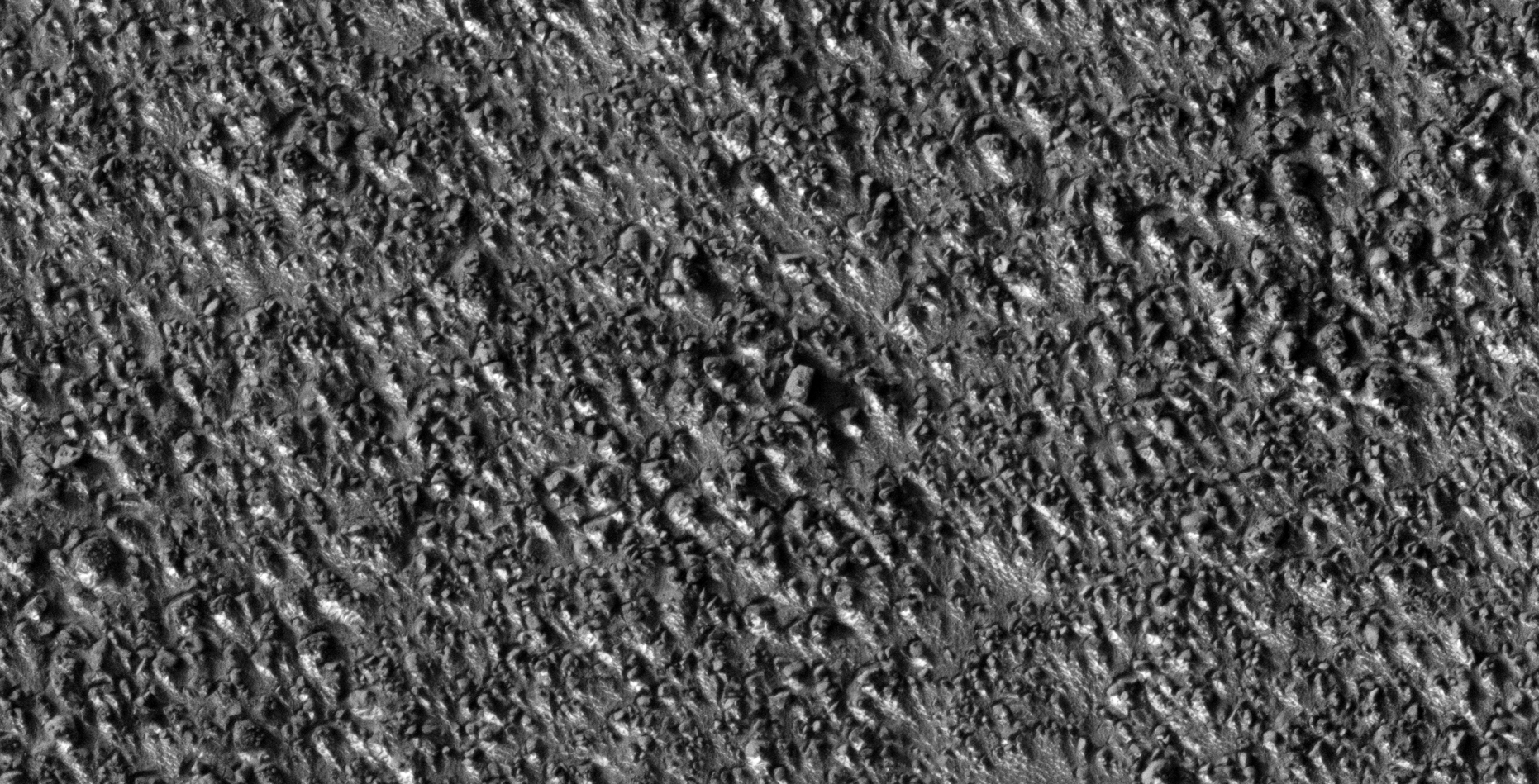
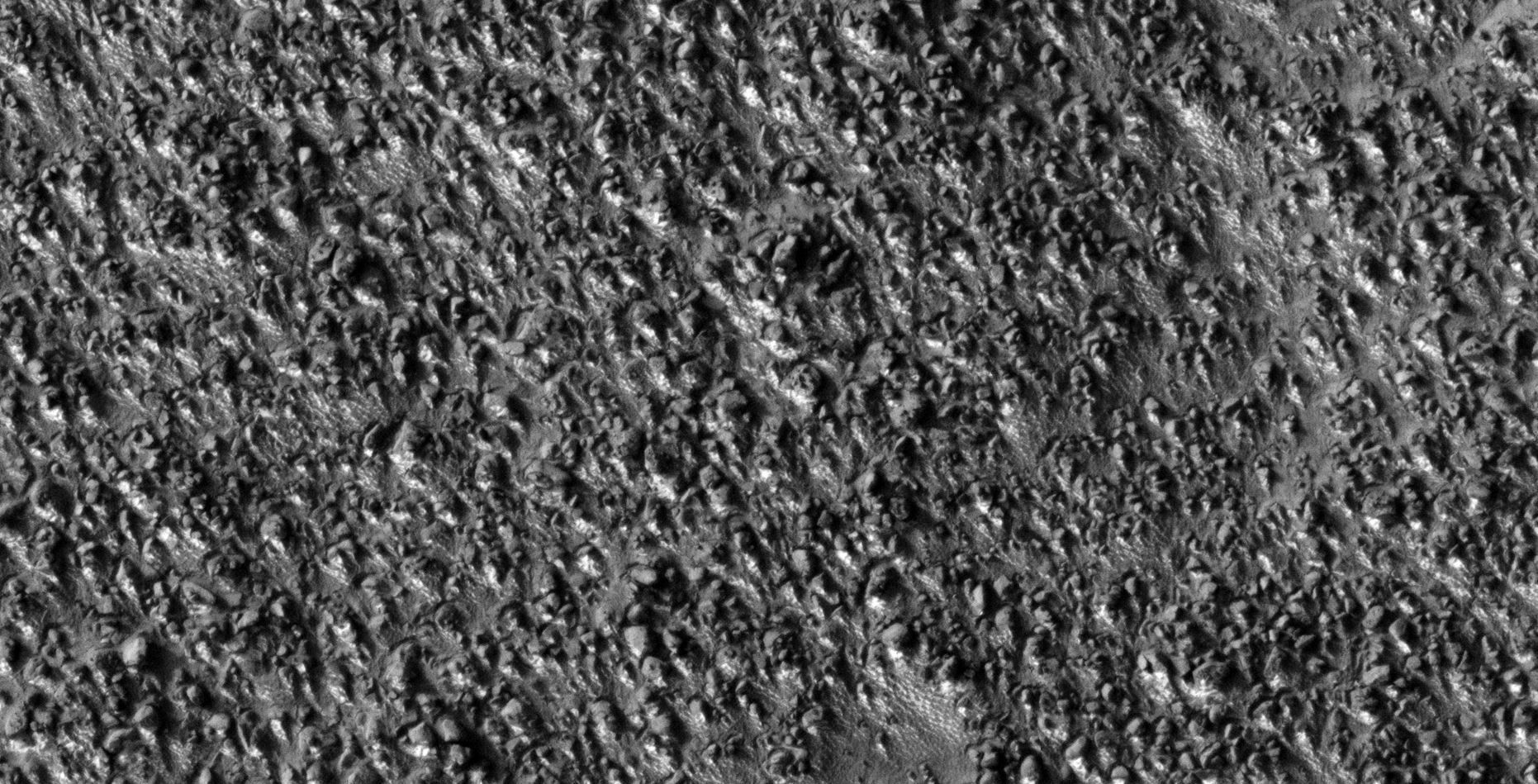
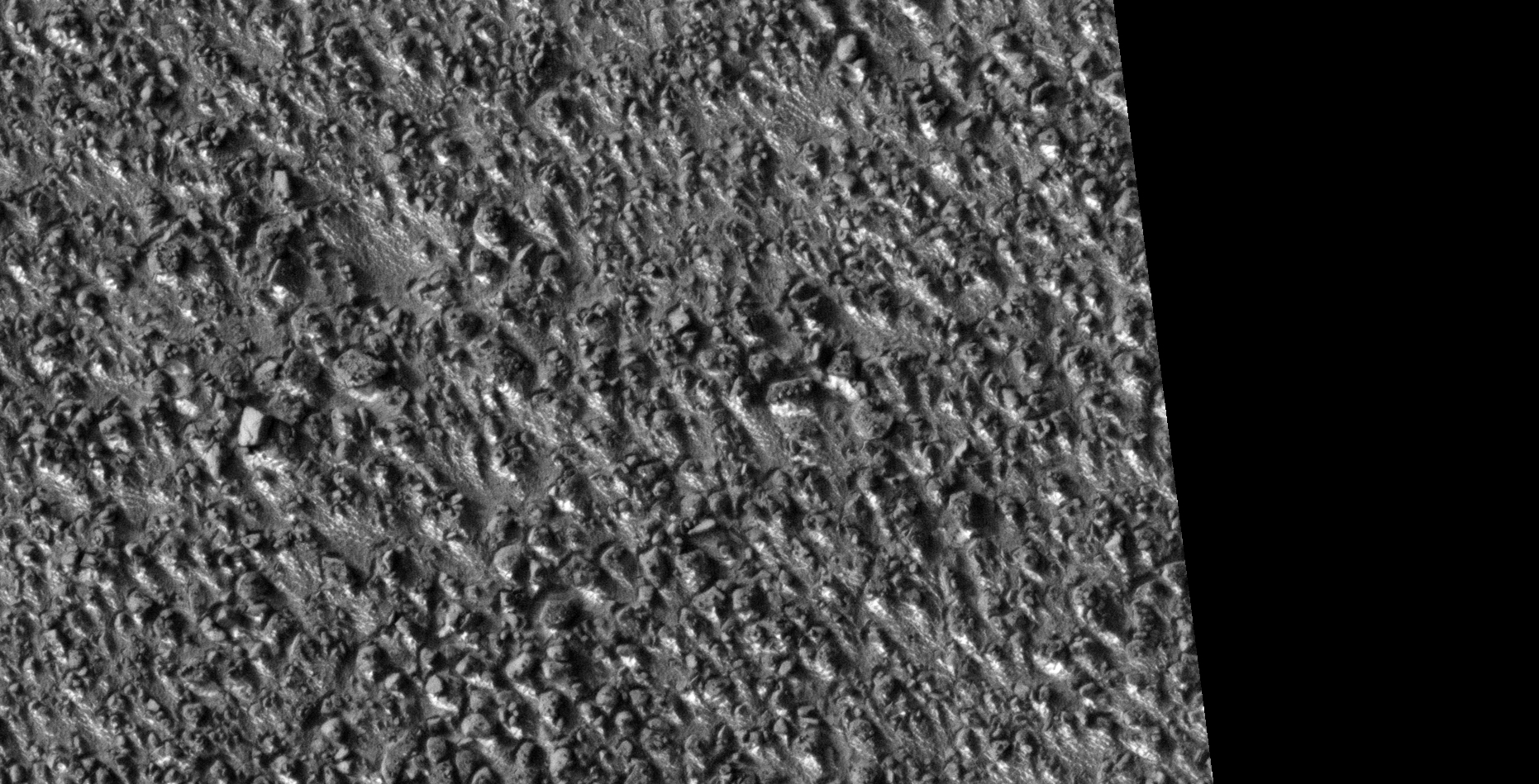
The photograph analyzed here (ESP_019857_1305) was taken by NASA’s Mars Reconnaissance Orbiter on 21 October 2010 and is described as ‘Boulders.’

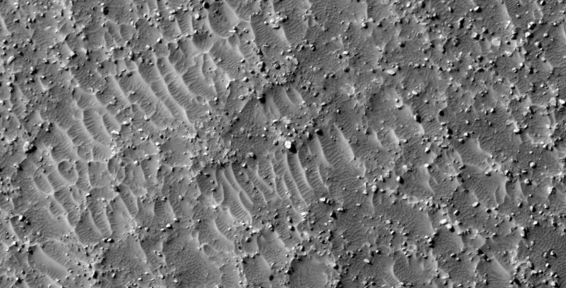
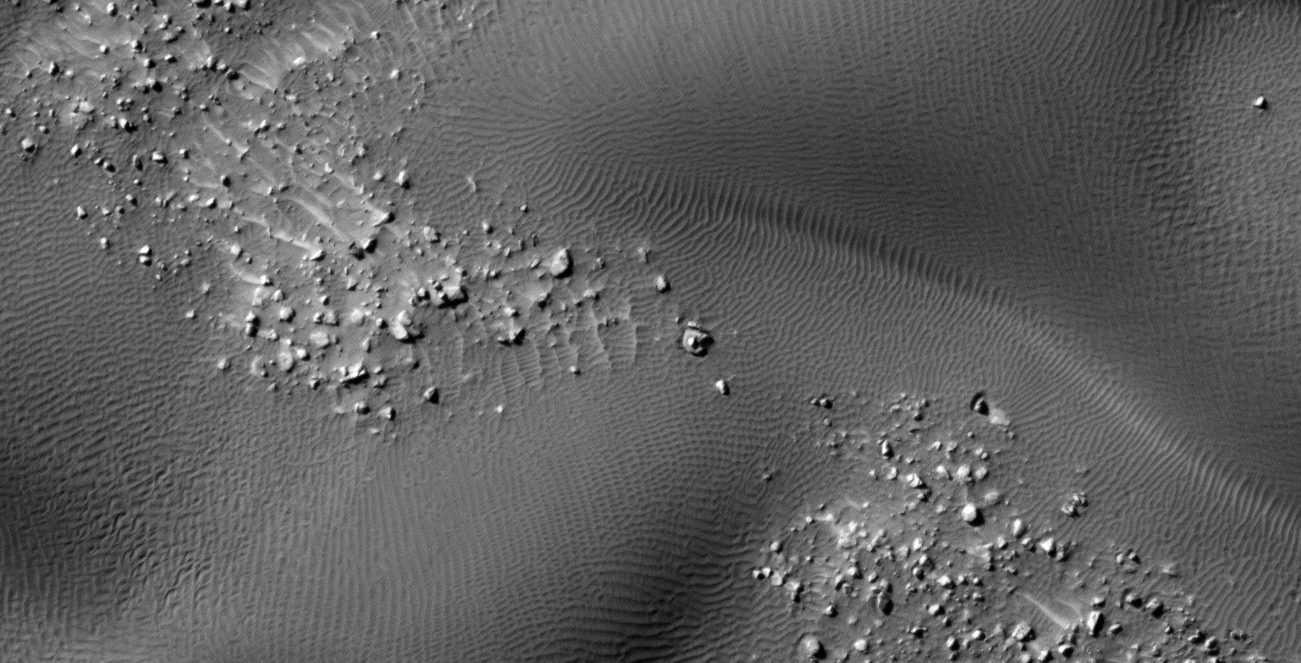
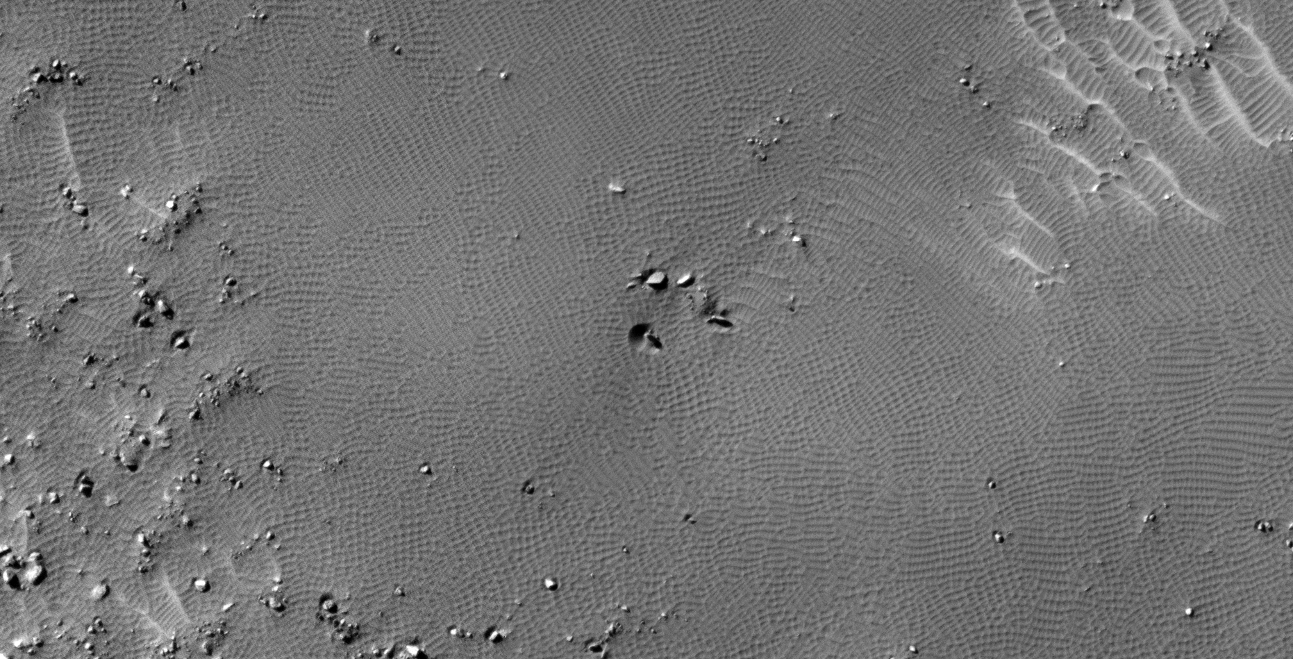
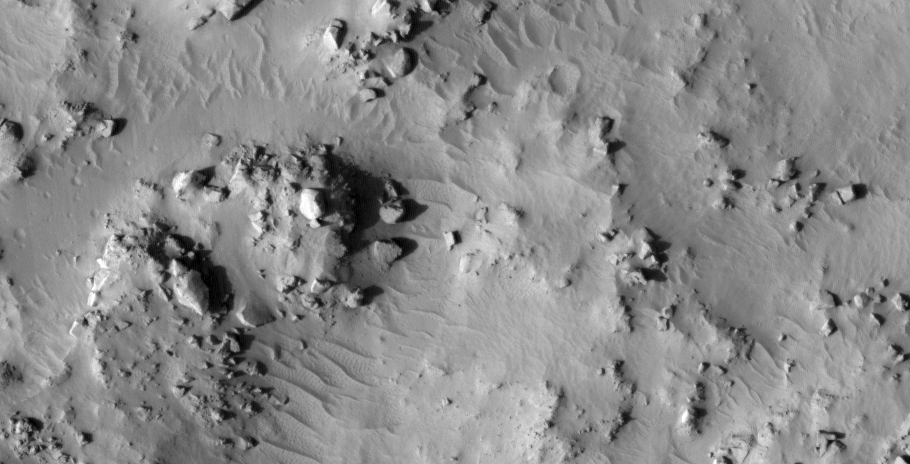
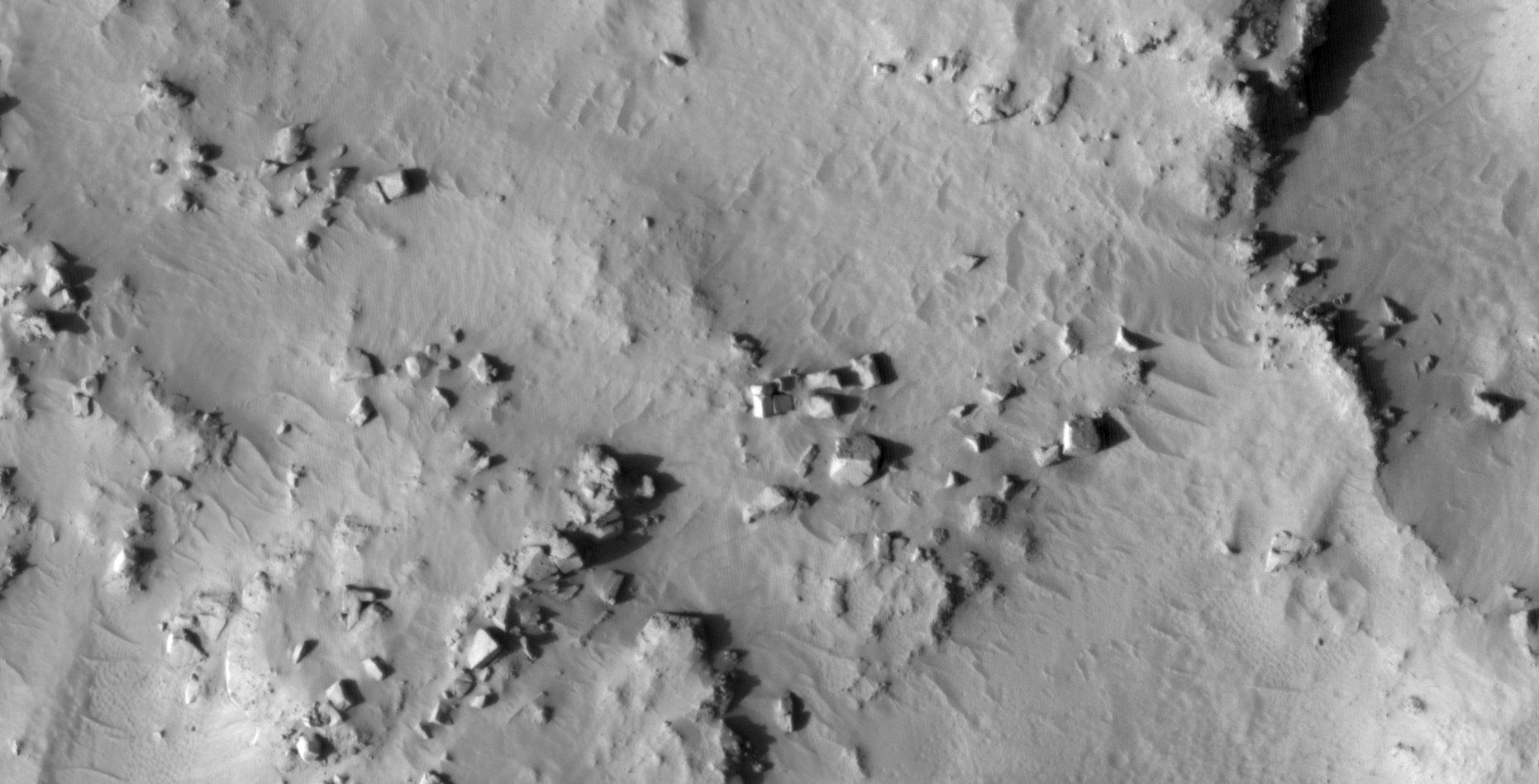
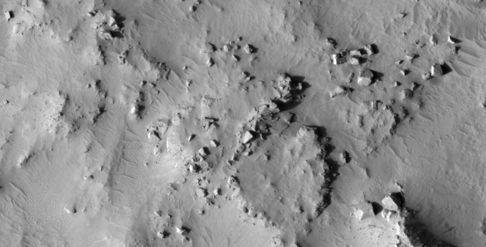
Although this region of Mars is devastated there seems to be some order in the chaos.

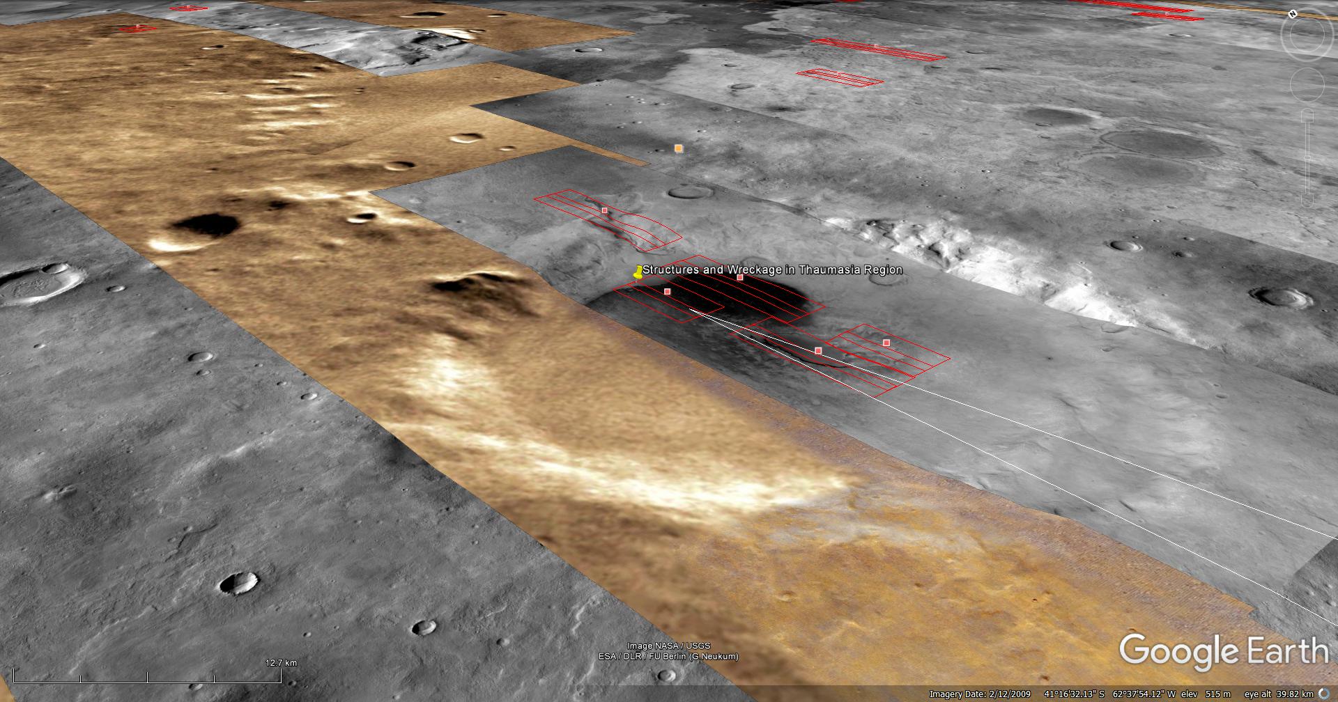
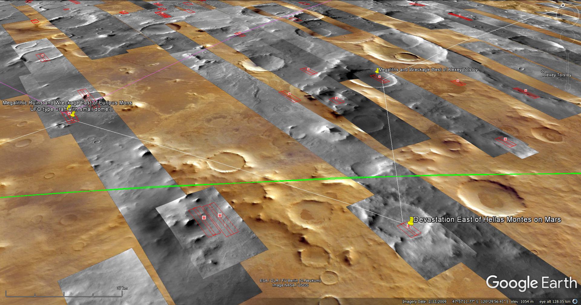
There are what look like megalithic blocks, structures and ruins even here.

An elevated view of this site being analyzed
An elevated view of this site being analyzed (click for larger image)
An elevated view of this site being analyzed
An elevated view of this site being analyzed (click for larger image)
(click for larger image)

Original NASA source:

https://www.uahirise.org/ESP_019857_1305

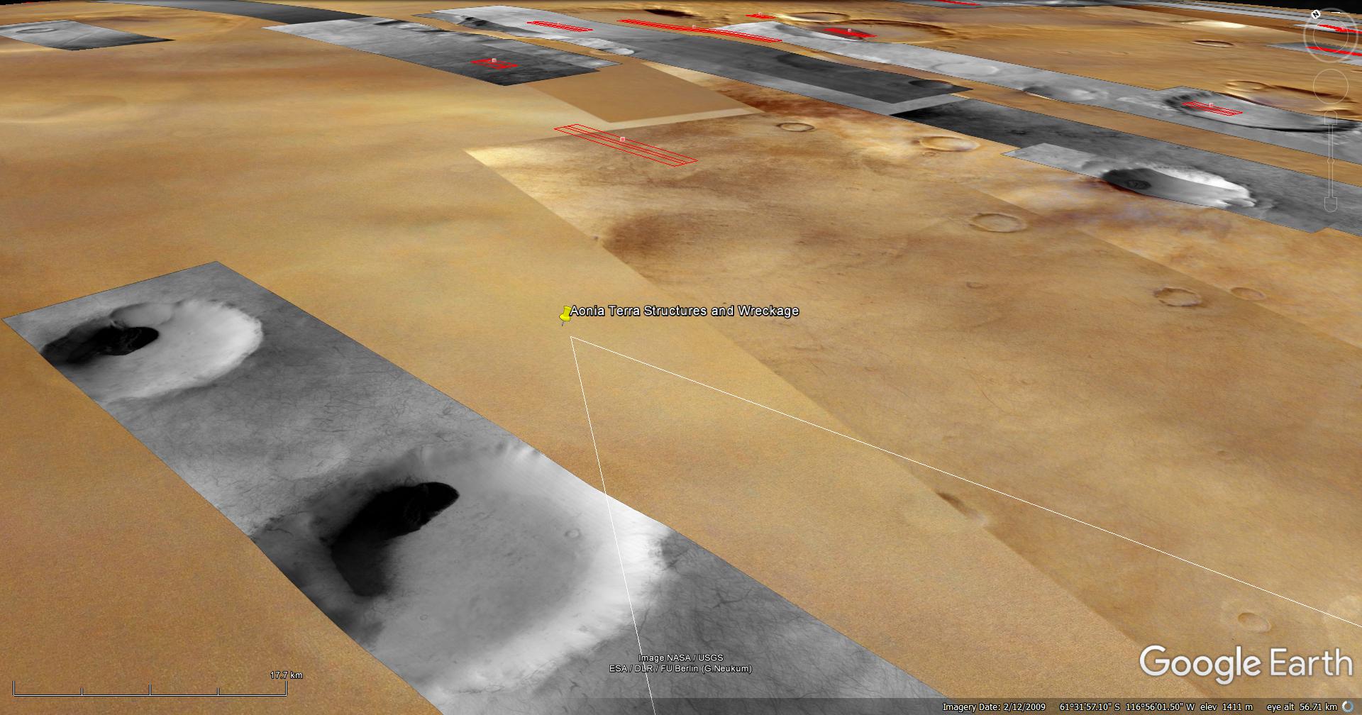
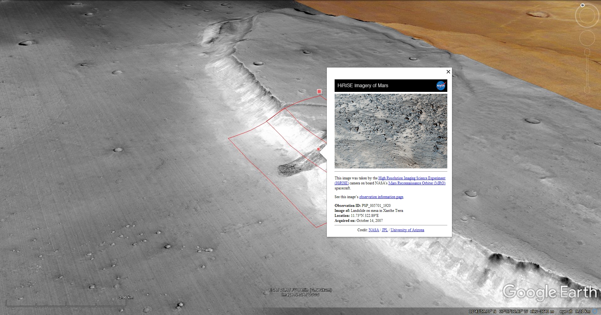
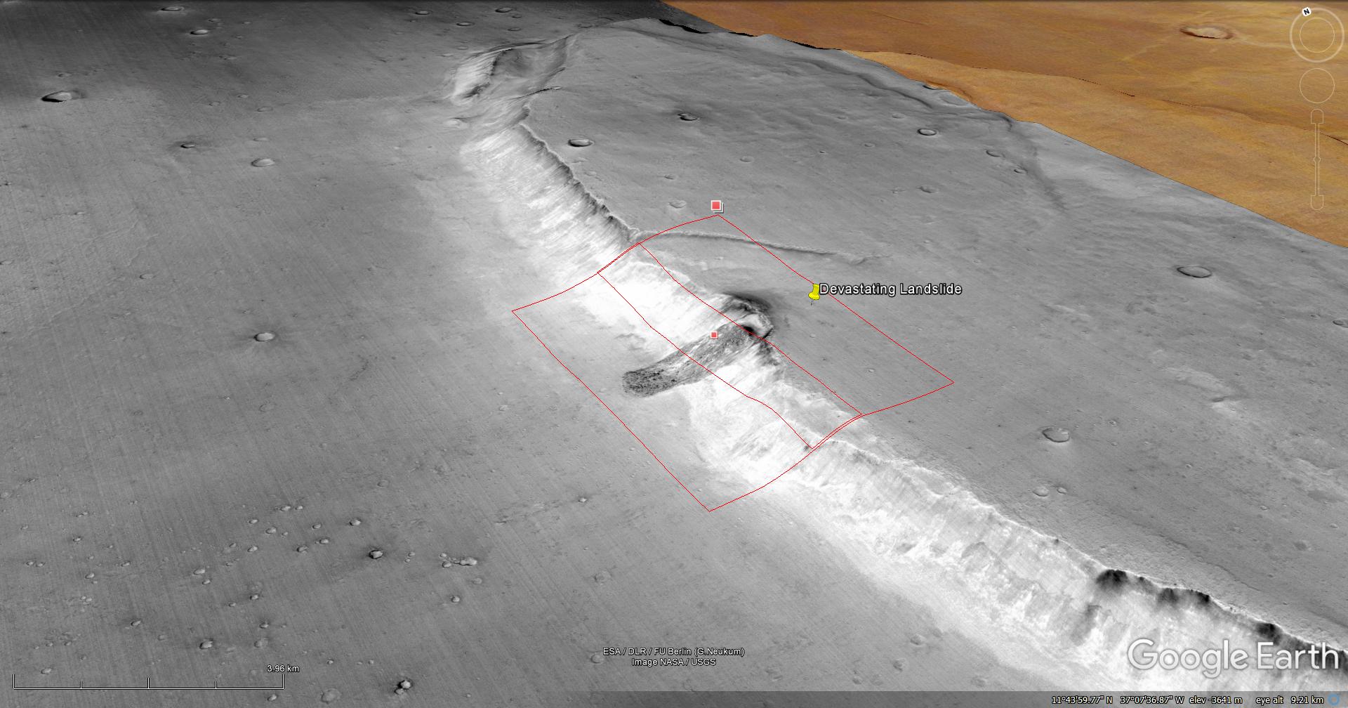
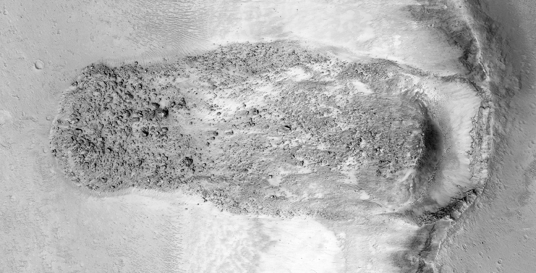
My YouTube video featuring ‘Devastation East of Hellas Montes on Mars:’

Subscribe to my YouTube channel and turn on Notifications to receive updates when I upload new video’s.

Links to all my other sites:

https://www.youtube.com/JeanWard (Mars anomalies)

https://mars.raptorzone.co.za (Mars anomalies)

http://www.raptorzone.co.za (my website)

http://wxsat.raptorzone.co.za (weather satellites)

https://twitter.com/raptorzn_ (@RaptorZN_)

https://www.facebook.com/JeanWardMarsAnomalies (Facebook)

http://blog.raptorzone.co.za (social and political issues)

Disclaimer:

Images saved from within HiView or CTX viewer do not include image scale indicators. The image scale indicators I include in images are based on the official resolutions provided by NASA and although I strive to be as accurate as possible there may be slight deviations from the actual scale. Image scale indicators are included as a size approximation tool only.

Geometry lines are mapped as accurately as possible using the limited information, data and mapping tools available at the time, therefore the lines may deviate from target sites by a few kilometres. Revisions may be made in the future as new, more precise information, data and mapping tools become available.

Many or all of the anomalies/artefacts covered in this presentation may be naturally occurring geological features caused by some type of geological processes, however due to the lack of specific information from the source we can only speculate whether these are all natural or some artificial in nature.

In cases where I say an anomaly looks like something I’m attempting to clarify what I see and not specifically that the anomaly is what I say it looks like.

My intention is only to share anomalies I’ve discovered on Mars and not to convince anyone that there is or was a civilization on Mars.

As Will Farrar from WhatsUpInTheSky says: “I see what I see, you see what you see.”

Craft and Structures Captured in Thaumasia Fossae on Mars

The photograph analyzed here (ESP_013799_1310) was taken by NASA’s Mars Reconnaissance Orbiter on 06 July 2009 and is described as ‘Gullied Crater and Central Uplift.’

Here I present further evidence of structures on Mars as well as dome-shaped objects what look like craft and another object that looks like the Millennium Falcon or Baltic Sea anomaly.

An elevated view of this site being analyzed
An elevated view of this site being analyzed (click for larger image)
An elevated view of this site being analyzed
An elevated view of this site being analyzed (click for larger image)
(click for larger image)

Original NASA source:

https://www.uahirise.org/ESP_013799_1310

My YouTube video featuring ‘Craft and Structures Captured in Thaumasia Fossae on Mars:’

Subscribe to my YouTube channel and turn on Notifications to receive updates when I upload new video’s.

Links to all my other sites:

https://www.youtube.com/JeanWard (Mars anomalies)

https://mars.raptorzone.co.za (Mars anomalies)

http://www.raptorzone.co.za (my website)

http://wxsat.raptorzone.co.za (weather satellites)

https://twitter.com/raptorzn_ (@RaptorZN_)

https://www.facebook.com/JeanWardMarsAnomalies (Facebook)

http://blog.raptorzone.co.za (social and political issues)

Disclaimer:

Images saved from within HiView or CTX viewer do not include image scale indicators. The image scale indicators I include in images are based on the official resolutions provided by NASA and although I strive to be as accurate as possible there may be slight deviations from the actual scale. Image scale indicators are included as a size approximation tool only.

Geometry lines are mapped as accurately as possible using the limited information, data and mapping tools available at the time, therefore the lines may deviate from target sites by a few kilometres. Revisions may be made in the future as new, more precise information, data and mapping tools become available.

Many or all of the anomalies/artefacts covered in this presentation may be naturally occurring geological features caused by some type of geological processes, however due to the lack of specific information from the source we can only speculate whether these are all natural or some artificial in nature.

In cases where I say an anomaly looks like something I’m attempting to clarify what I see and not specifically that the anomaly is what I say it looks like.

My intention is only to share anomalies I’ve discovered on Mars and not to convince anyone that there is or was a civilization on Mars.

As Will Farrar from WhatsUpInTheSky says: “I see what I see, you see what you see.”

‘Millennium Falcon,’ Standing Monoliths, Structures and Wreckage in Thaumasia on Mars

The photograph analyzed here (ESP_033340_1385) was taken by NASA’s Mars Reconnaissance Orbiter on 06 September 2013 and is described as ‘Complex Dunes in Thaumasia Region.’

Here I present further evidence of structures on Mars, standing monoliths and an object similar in shape to the Millennium Falcon or Baltic Sea anomaly.

An elevated view of this site being analyzed
An elevated view of this site being analyzed (click for larger image)
An elevated view of this site being analyzed
An elevated view of this site being analyzed (click for larger image)
(click for larger image)

Original NASA source:

https://www.uahirise.org/ESP_033340_1385

My YouTube video featuring ”Millennium Falcon,’ Standing Monoliths, Structures and Wreckage in Thaumasia on Mars:’

Subscribe to my YouTube channel and turn on Notifications to receive updates when I upload new video’s.

Links to all my other sites:

https://www.youtube.com/JeanWard (Mars anomalies)

https://mars.raptorzone.co.za (Mars anomalies)

http://www.raptorzone.co.za (my website)

http://wxsat.raptorzone.co.za (weather satellites)

https://twitter.com/raptorzn_ (@RaptorZN_)

https://www.facebook.com/JeanWardMarsAnomalies (Facebook)

http://blog.raptorzone.co.za (social and political issues)

Disclaimer:

Images saved from within HiView or CTX viewer do not include image scale indicators. The image scale indicators I include in images are based on the official resolutions provided by NASA and although I strive to be as accurate as possible there may be slight deviations from the actual scale. Image scale indicators are included as a size approximation tool only.

Geometry lines are mapped as accurately as possible using the limited information, data and mapping tools available at the time, therefore the lines may deviate from target sites by a few kilometres. Revisions may be made in the future as new, more precise information, data and mapping tools become available.

Many or all of the anomalies/artefacts covered in this presentation may be naturally occurring geological features caused by some type of geological processes, however due to the lack of specific information from the source we can only speculate whether these are all natural or some artificial in nature.

In cases where I say an anomaly looks like something I’m attempting to clarify what I see and not specifically that the anomaly is what I say it looks like.

My intention is only to share anomalies I’ve discovered on Mars and not to convince anyone that there is or was a civilization on Mars.

As Will Farrar from WhatsUpInTheSky says: “I see what I see, you see what you see.”

Structures and Wreckage South of Lamont on Mars (Part 2)

The photograph analyzed here (PSP_005757_1195) was taken by NASA’s Mars Reconnaissance Orbiter on 19 October 2007 and is described as ‘High-Latitude Patterned Ground Sample.’

Here I present further evidence of structures on Mars, megaliths blocks/slabs, ruins and perhaps what appears to be wreckage/craft.

An elevated view of this site being analyzed
An elevated view of this site being analyzed (click for larger image)
An elevated view of this site being analyzed
An elevated view of this site being analyzed (click for larger image)
(click for larger image)

Original NASA source:

https://www.uahirise.org/PSP_005757_1195

My YouTube video featuring ‘Structures and Wreckage South of Lamont on Mars (Part 2):’

Subscribe to my YouTube channel and turn on Notifications to receive updates when I upload new video’s.

Links to all my other sites:

https://www.youtube.com/JeanWard (Mars anomalies)

https://mars.raptorzone.co.za (Mars anomalies)

http://www.raptorzone.co.za (my website)

http://wxsat.raptorzone.co.za (weather satellites)

https://twitter.com/raptorzn_ (@RaptorZN_)

https://www.facebook.com/JeanWardMarsAnomalies (Facebook)

http://blog.raptorzone.co.za (social and political issues)

Disclaimer:

Images saved from within HiView or CTX viewer do not include image scale indicators. The image scale indicators I include in images are based on the official resolutions provided by NASA and although I strive to be as accurate as possible there may be slight deviations from the actual scale. Image scale indicators are included as a size approximation tool only.

Geometry lines are mapped as accurately as possible using the limited information, data and mapping tools available at the time, therefore the lines may deviate from target sites by a few kilometres. Revisions may be made in the future as new, more precise information, data and mapping tools become available.

Many or all of the anomalies/artefacts covered in this presentation may be naturally occurring geological features caused by some type of geological processes, however due to the lack of specific information from the source we can only speculate whether these are all natural or some artificial in nature.

In cases where I say an anomaly looks like something I’m attempting to clarify what I see and not specifically that the anomaly is what I say it looks like.

My intention is only to share anomalies I’ve discovered on Mars and not to convince anyone that there is or was a civilization on Mars.

As Will Farrar from WhatsUpInTheSky says: “I see what I see, you see what you see.”

Structures and Wreckage South of Lamont on Mars (Part 1)

The photograph analyzed here (PSP_005757_1195) was taken by NASA’s Mars Reconnaissance Orbiter on 19 October 2007 and is described as ‘High-Latitude Patterned Ground Sample.’

Here I present further evidence of structures on Mars, megaliths blocks/slabs, ruins and perhaps what appears to be wreckage/craft.

An elevated view of this site being analyzed
An elevated view of this site being analyzed (click for larger image)
An elevated view of this site being analyzed
An elevated view of this site being analyzed (click for larger image)
(click for larger image)

Original NASA source:

https://www.uahirise.org/PSP_005757_1195

My YouTube video featuring ‘Structures and Wreckage South of Lamont on Mars (Part 1):’

Subscribe to my YouTube channel and turn on Notifications to receive updates when I upload new video’s.

Links to all my other sites:

https://www.youtube.com/JeanWard (Mars anomalies)

https://mars.raptorzone.co.za (Mars anomalies)

http://www.raptorzone.co.za (my website)

http://wxsat.raptorzone.co.za (weather satellites)

https://twitter.com/raptorzn_ (@RaptorZN_)

https://www.facebook.com/JeanWardMarsAnomalies (Facebook)

http://blog.raptorzone.co.za (social and political issues)

Disclaimer:

Images saved from within HiView or CTX viewer do not include image scale indicators. The image scale indicators I include in images are based on the official resolutions provided by NASA and although I strive to be as accurate as possible there may be slight deviations from the actual scale. Image scale indicators are included as a size approximation tool only.

Geometry lines are mapped as accurately as possible using the limited information, data and mapping tools available at the time, therefore the lines may deviate from target sites by a few kilometres. Revisions may be made in the future as new, more precise information, data and mapping tools become available.

Many or all of the anomalies/artefacts covered in this presentation may be naturally occurring geological features caused by some type of geological processes, however due to the lack of specific information from the source we can only speculate whether these are all natural or some artificial in nature.

In cases where I say an anomaly looks like something I’m attempting to clarify what I see and not specifically that the anomaly is what I say it looks like.

My intention is only to share anomalies I’ve discovered on Mars and not to convince anyone that there is or was a civilization on Mars.

As Will Farrar from WhatsUpInTheSky says: “I see what I see, you see what you see.”

Weird Square Structures and More found in Aonia Terra on Mars

The photograph analyzed here (ESP_012495_1160) was taken by NASA’s Mars Reconnaissance Orbiter on 27 March 2009 and is described as ‘Omega Hydration Detection.’

Here I present further evidence of structures on Mars, specifically two perfectly square structures measuring about 10 x 10 meters.

An elevated view of this site being analyzed
An elevated view of this site being analyzed (click for larger image)
An elevated view of this site being analyzed
An elevated view of this site being analyzed (click for larger image)
(click for larger image)

Original NASA source:

https://www.uahirise.org/ESP_012495_1160

My YouTube video featuring ‘Weird Square Structures and More found in Aonia Terra on Mars:’

Links to all my other sites:

https://mars.raptorzone.co.za (Mars anomalies)

http://www.raptorzone.co.za (my website)

http://wxsat.raptorzone.co.za (weather satellites)

https://twitter.com/raptorzn_ (@RaptorZN_)

https://www.facebook.com/JeanWardMarsAnomalies (Facebook)

http://blog.raptorzone.co.za (social and political issues)

Disclaimer:

Images saved from within HiView or CTX viewer do not include image scale indicators. The image scale indicators I include in images are based on the official resolutions provided by NASA and although I strive to be as accurate as possible there may be slight deviations from the actual scale. Image scale indicators are included as a size approximation tool only.

Geometry lines are mapped as accurately as possible using the limited information, data and mapping tools available at the time, therefore the lines may deviate from target sites by a few kilometres. Revisions may be made in the future as new, more precise information, data and mapping tools become available.

Many or all of the anomalies/artefacts covered in this presentation may be naturally occurring geological features caused by some type of geological processes, however due to the lack of specific information from the source we can only speculate whether these are all natural or some artificial in nature.

In cases where I say an anomaly looks like something I’m attempting to clarify what I see and not specifically that the anomaly is what I say it looks like.

My intention is only to share anomalies I’ve discovered on Mars and not to convince anyone that there is or was a civilization on Mars.

As Will Farrar from WhatsUpInTheSky says: “I see what I see, you see what you see.”

Aonia Terra Structures and Wreckage on Mars

The photograph analyzed here (ESP_048164_1185) was taken by NASA’s Mars Reconnaissance Orbiter on 04 November 2016 and is described as ‘Intercrater Plains.’

Here I present further evidence of structures and saucer-shaped craft found on Mars, not unlike others I have presented in previous Blog posts and YouTube videos.

One craft is seen outside what appears to be a smashed in entrance-way or hangar and the other out in the open on the Martian surface.

An elevated view of this site being analyzed
An elevated view of this site being analyzed (click for larger image)
(click for larger image)

Original NASA source:

https://www.uahirise.org/ESP_048164_1185

My YouTube video featuring ‘Aonia Terra Structures and Wreckage on Mars:’

The link will be added here once the video is created and published to YouTube.

Links to all my other sites:

https://mars.raptorzone.co.za (Mars anomalies)

http://www.raptorzone.co.za (my website)

http://wxsat.raptorzone.co.za (weather satellites)

https://twitter.com/raptorzn_ (@RaptorZN_)

https://www.facebook.com/JeanWardMarsAnomalies (Facebook)

http://blog.raptorzone.co.za (social and political issues)

Disclaimer:

Images saved from within HiView or CTX viewer do not include image scale indicators. The image scale indicators I include in images are based on the official resolutions provided by NASA and although I strive to be as accurate as possible there may be slight deviations from the actual scale. Image scale indicators are included as a size approximation tool only.

Geometry lines are mapped as accurately as possible using the limited information, data and mapping tools available at the time, therefore the lines may deviate from target sites by a few kilometres. Revisions may be made in the future as new, more precise information, data and mapping tools become available.

Many or all of the anomalies/artefacts covered in this presentation may be naturally occurring geological features caused by some type of geological processes, however due to the lack of specific information from the source we can only speculate whether these are all natural or some artificial in nature.

In cases where I say an anomaly looks like something I’m attempting to clarify what I see and not specifically that the anomaly is what I say it looks like.

My intention is only to share anomalies I’ve discovered on Mars and not to convince anyone that there is or was a civilization on Mars.

As Will Farrar from WhatsUpInTheSky says: “I see what I see, you see what you see.”

Devastating Landslide in Xanthe Terra on Mars

A quick update on the Elongated Cloud photographed by Mars Express (ESA) as well as a massive Martian landslide photographed by HiRISE (NASA).

The landslide shown here is approximately 1.5 km long and 500 metres wide and it shows possible evidence of liquid water in the area some time ago.

The boulders are huge and have random sizes and shapes and are perfect examples of what natural boulders look like, they look nothing like the megalithic blocks with knobs or features on their surfaces as I have shown in previous Blog posts or YouTube video’s.

There is one anomaly that I found that looks unnatural, the artefact looks like a small rectangular metal plate next to a larger rectangular artefact.

Also shown here are tracks left by rolling boulders/rocks as well as possible evidence of some type of vehicles leaving tracks in these sand. Some tracks intersect each other and abruptly change direction.

An elevated view of this site being analyzed
An elevated view of this site being analyzed (click for larger image)
An elevated view of this site being analyzed
An elevated view of this site being analyzed (click for larger image)
A colour strip from the JP2 showing possible evidence of liquid water flow in the distant past
A colour strip from the JP2 showing possible evidence of liquid water flow in the distant past (click for larger image)

The landslide (zoomed out)

The landslide zoomed out
The landslide zoomed out (click for larger image)
The landslide zoomed out
The landslide zoomed out (click for larger image)
The landslide zoomed out
The landslide zoomed out (click for larger image)
The landslide zoomed out
The landslide zoomed out (click for larger image)

The boulders and rocks (actual size)

(click for larger image)
Small rectangular metal plate next to a larger rectangular artefact
Small rectangular metal plate next to a larger rectangular artefact (click for larger image)

Possible evidence of liquid water flow (actual size)

(click for larger image)

Tracks left by rolling boulders and possibly vehicles (actual size)

(click for larger image)

Original NASA source:

https://www.uahirise.org/PSP_005701_1920

Other articles featured in this video:

https://www.esa.int/spaceinimages/Images/2018/10/Elongated_cloud_on_Mars

https://earthsky.org/todays-image/may-18-view-from-space-of-pavlof-volcano

My YouTube video featuring ‘Devastating Landslide in Xanthe Terra on Mars:’

My YouTube video featuring ‘Cloud, Active Volcano or Terraforming on Mars:’

Subscribe to my YouTube channel and turn on notifications to be notified when new videos are uploaded.

Also visit Twitter page @RaptorZN_.

Disclaimer:

Images saved from within HiView or CTX viewer do not include image scale indicators. The image scale indicators I include in images are based on the official resolutions provided by NASA and although I strive to be as accurate as possible there may be slight deviations from the actual scale. Image scale indicators are included as a size approximation tool only.

Geometry lines are mapped as accurately as possible using the limited information, data and mapping tools available at the time, therefore the lines may deviate from target sites by a few kilometres. Revisions may be made in the future as new, more precise information, data and mapping tools become available.

Many or all of the anomalies/artefacts covered in this presentation may be naturally occurring geological features caused by some type of geological processes, however due to the lack of specific information from the source we can only speculate whether these are all natural or some artificial in nature.

In cases where I say an anomaly looks like something I’m attempting to clarify what I see and not specifically that the anomaly is what I say it looks like.

My intention is only to share anomalies I’ve discovered on Mars and not to convince anyone that there is or was a civilization on Mars.

As Will Farrar from WhatsUpInTheSky says: “I see what I see, you see what you see.”

Water, Structures, Ruins and Wreckage in Elysium Planitia on Mars

The photograph analyzed here (ESP_036562_1820) was taken by NASA’s Mars Reconnaissance Orbiter on 15 May 2014 and is described as ‘Enigmatic Terrain in Elysium Planitia.’

Here I present more megalithic blocks, ruins, structures, potentially another classic UFO-type craft (as found previously) and what appears to be various wreckage.

An elevated view of this site being analyzed
An elevated view of this site being analyzed (click for larger image)
An elevated view of this site being analyzed
An elevated view of this site being analyzed (click for larger image)
(click for larger image)

Original NASA source:

https://www.uahirise.org/ESP_036562_1820

My YouTube video featuring ‘Water, Structures, Ruins and Wreckage in Elysium Planitia on Mars:’

Subscribe to my YouTube channel and turn on notifications to be notified when new videos are uploaded.

Also visit Twitter page @RaptorZN_.

Disclaimer:

Images saved from within HiView or CTX viewer do not include image scale indicators. The image scale indicators I include in images are based on the official resolutions provided by NASA and although I strive to be as accurate as possible there may be slight deviations from the actual scale. Image scale indicators are included as a size approximation tool only.

Geometry lines are mapped as accurately as possible using the limited information, data and mapping tools available at the time, therefore the lines may deviate from target sites by a few kilometres. Revisions may be made in the future as new, more precise information, data and mapping tools become available.

Many or all of the anomalies/artefacts covered in this presentation may be naturally occurring geological features caused by some type of geological processes, however due to the lack of specific information from the source we can only speculate whether these are all natural or some artificial in nature.

In cases where I say an anomaly looks like something I’m attempting to clarify what I see and not specifically that the anomaly is what I say it looks like.

My intention is only to share anomalies I’ve discovered on Mars and not to convince anyone that there is or was a civilization on Mars.

As Will Farrar from WhatsUpInTheSky says: “I see what I see, you see what you see.”

The Huge Megalithic Blocks of Elysium Planitia on Mars (Part 2)

The photograph analyzed here (ESP_038184_1815) was taken by NASA’s Mars Reconnaissance Orbiter on 18 September 2014 and is described as ‘Fractured Mesa in Elysium Planitia.’

In Part 2 of 2 I present more megalithic blocks, ruins, walls, structures and what may be outposts or hangars.

The artefacts shown here are some of the best I’ve discovered, the photograph is also clean and crisp.

An elevated view of this site being analyzed
An elevated view of this site being analyzed (click for larger image)
An elevated view of this site being analyzed
An elevated view of this site being analyzed (click for larger image)
(click for larger image)

Original NASA source:

https://www.uahirise.org/ESP_038184_1815

My YouTube video featuring ‘The Huge Megalithic Blocks of Elysium Planitia on Mars (Part 2):’

Subscribe to my YouTube channel and turn on notifications to be notified when new videos are uploaded.

Also visit Twitter page @RaptorZN_.

Disclaimer:

Images saved from within HiView or CTX viewer do not include image scale indicators. The image scale indicators I include in images are based on the official resolutions provided by NASA and although I strive to be as accurate as possible there may be slight deviations from the actual scale. Image scale indicators are included as a size approximation tool only.

Geometry lines are mapped as accurately as possible using the limited information, data and mapping tools available at the time, therefore the lines may deviate from target sites by a few kilometres. Revisions may be made in the future as new, more precise information, data and mapping tools become available.

Many or all of the anomalies/artefacts covered in this presentation may be naturally occurring geological features caused by some type of geological processes, however due to the lack of specific information from the source we can only speculate whether these are all natural or some artificial in nature.

In cases where I say an anomaly looks like something I’m attempting to clarify what I see and not specifically that the anomaly is what I say it looks like.

My intention is only to share anomalies I’ve discovered on Mars and not to convince anyone that there is or was a civilization on Mars.

As Will Farrar from WhatsUpInTheSky says: “I see what I see, you see what you see.”