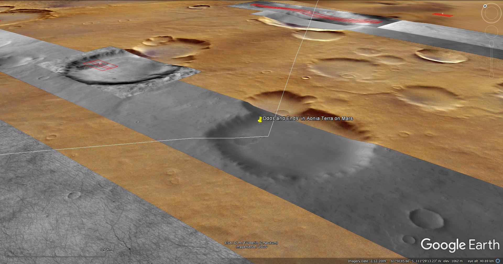
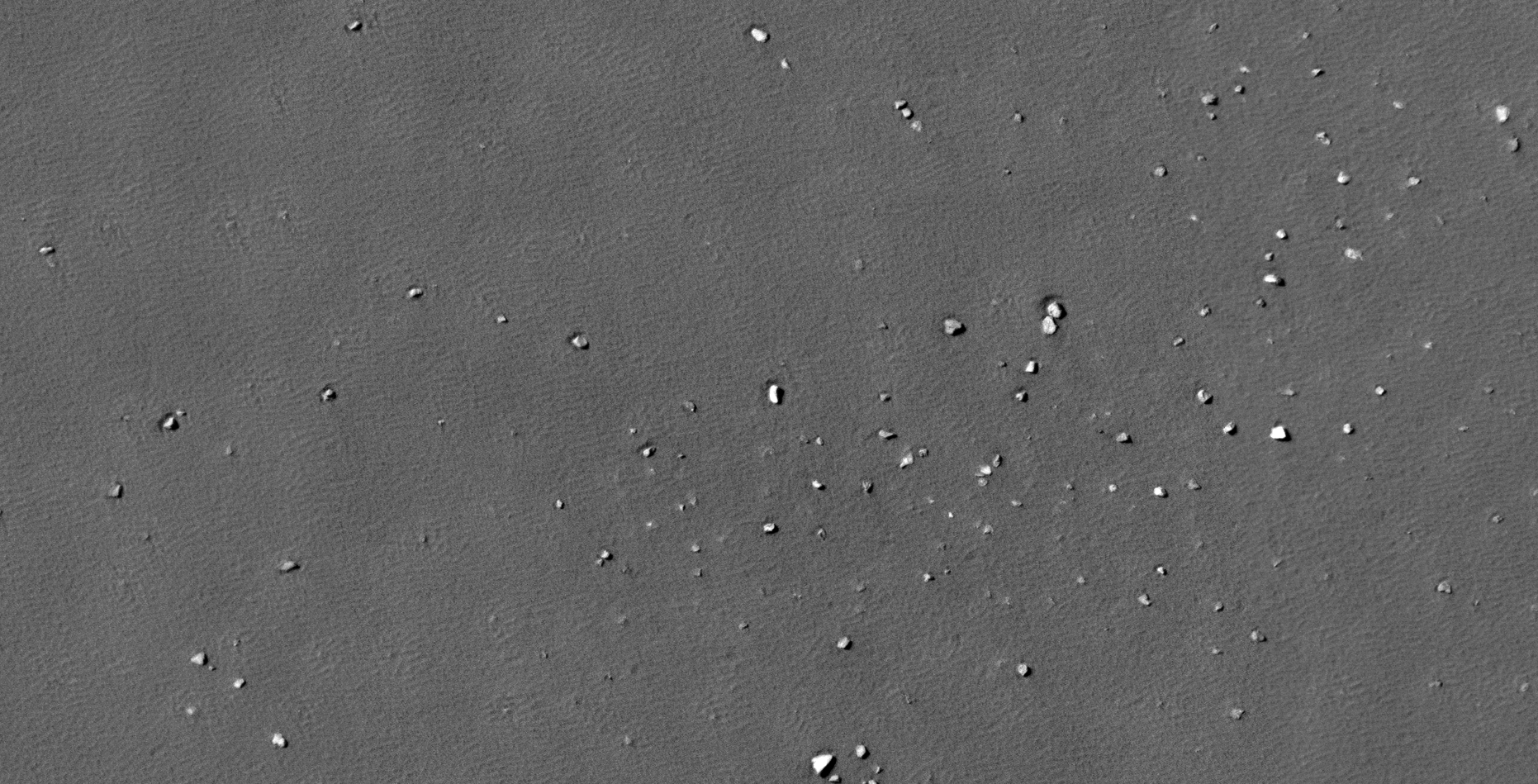
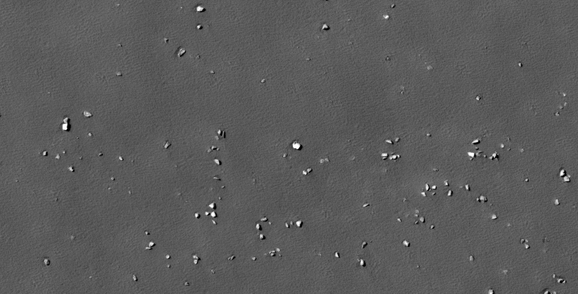
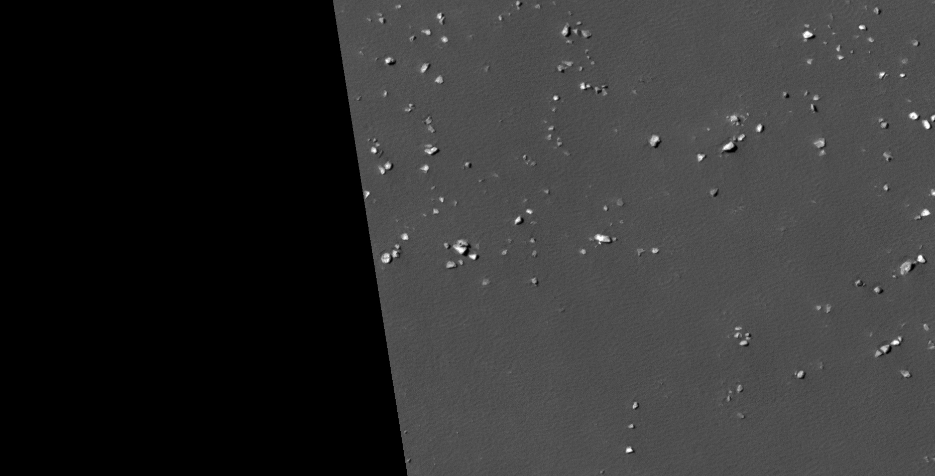
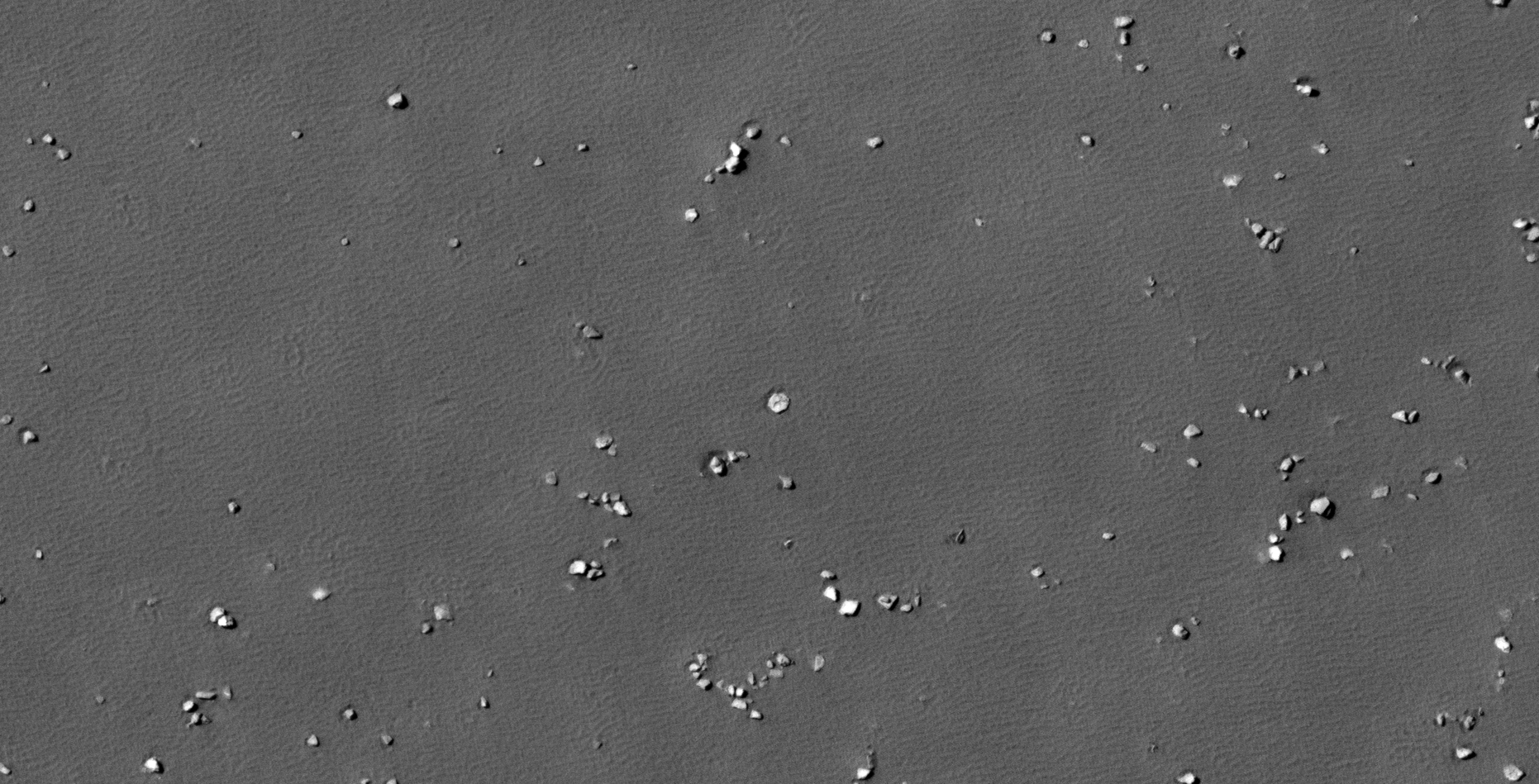
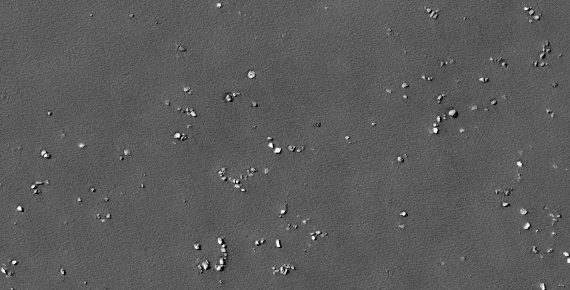
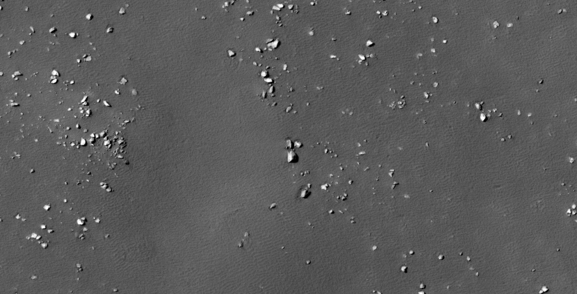
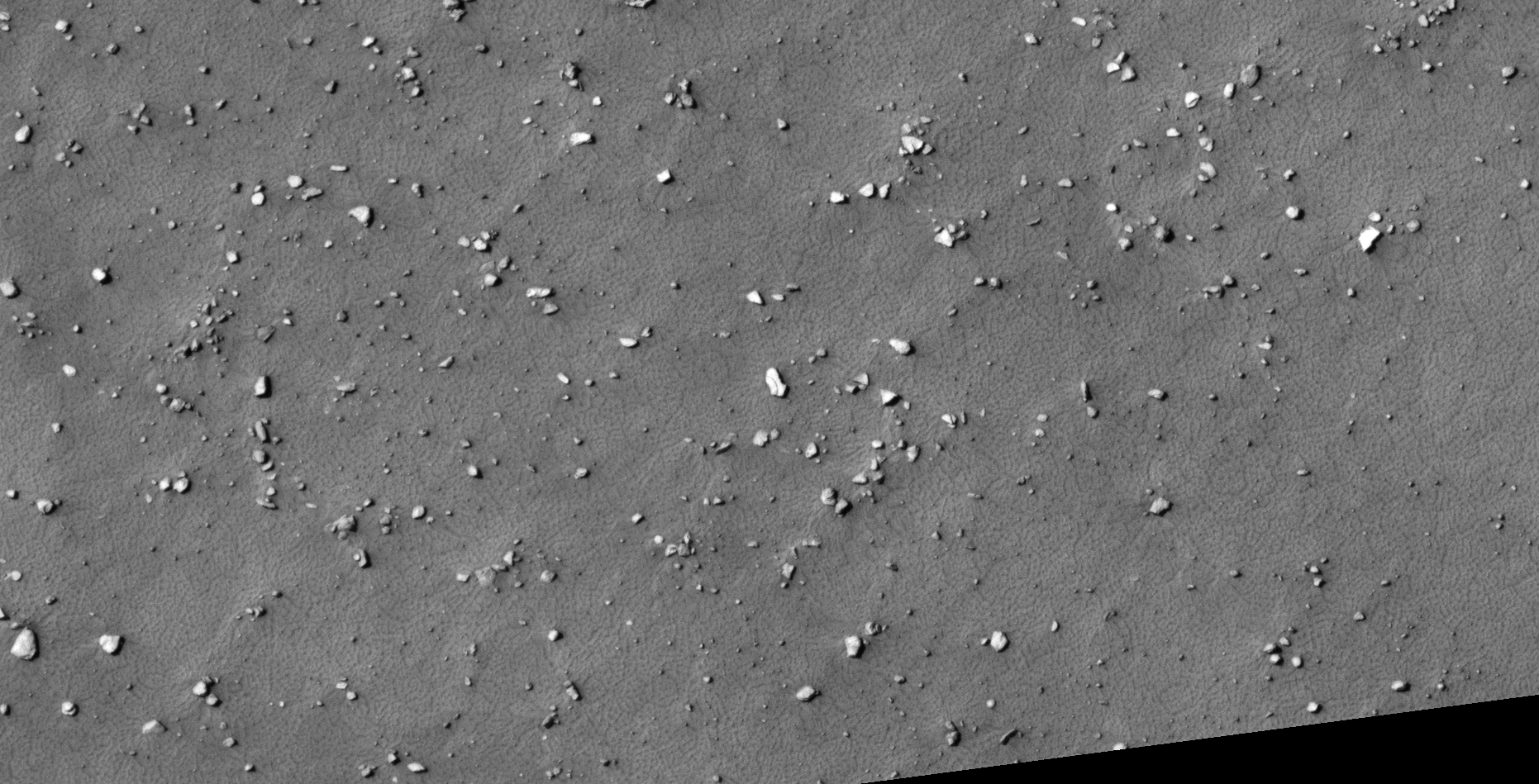
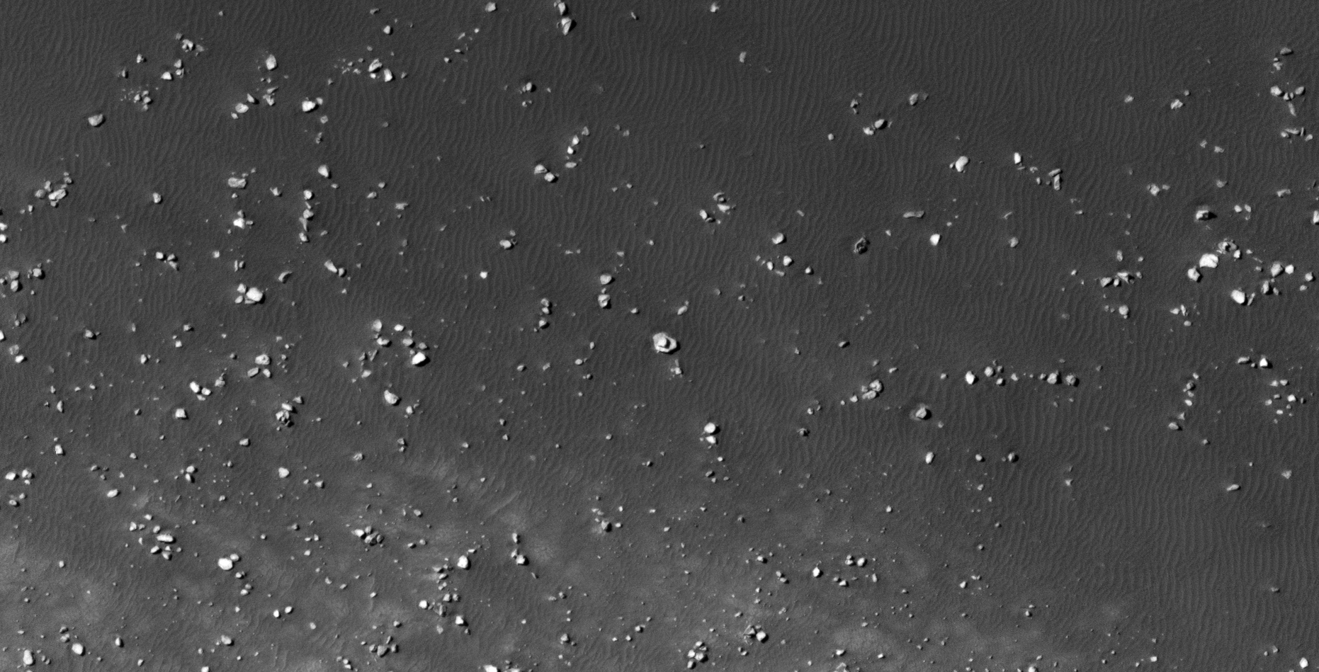
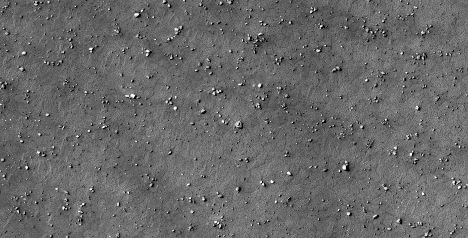
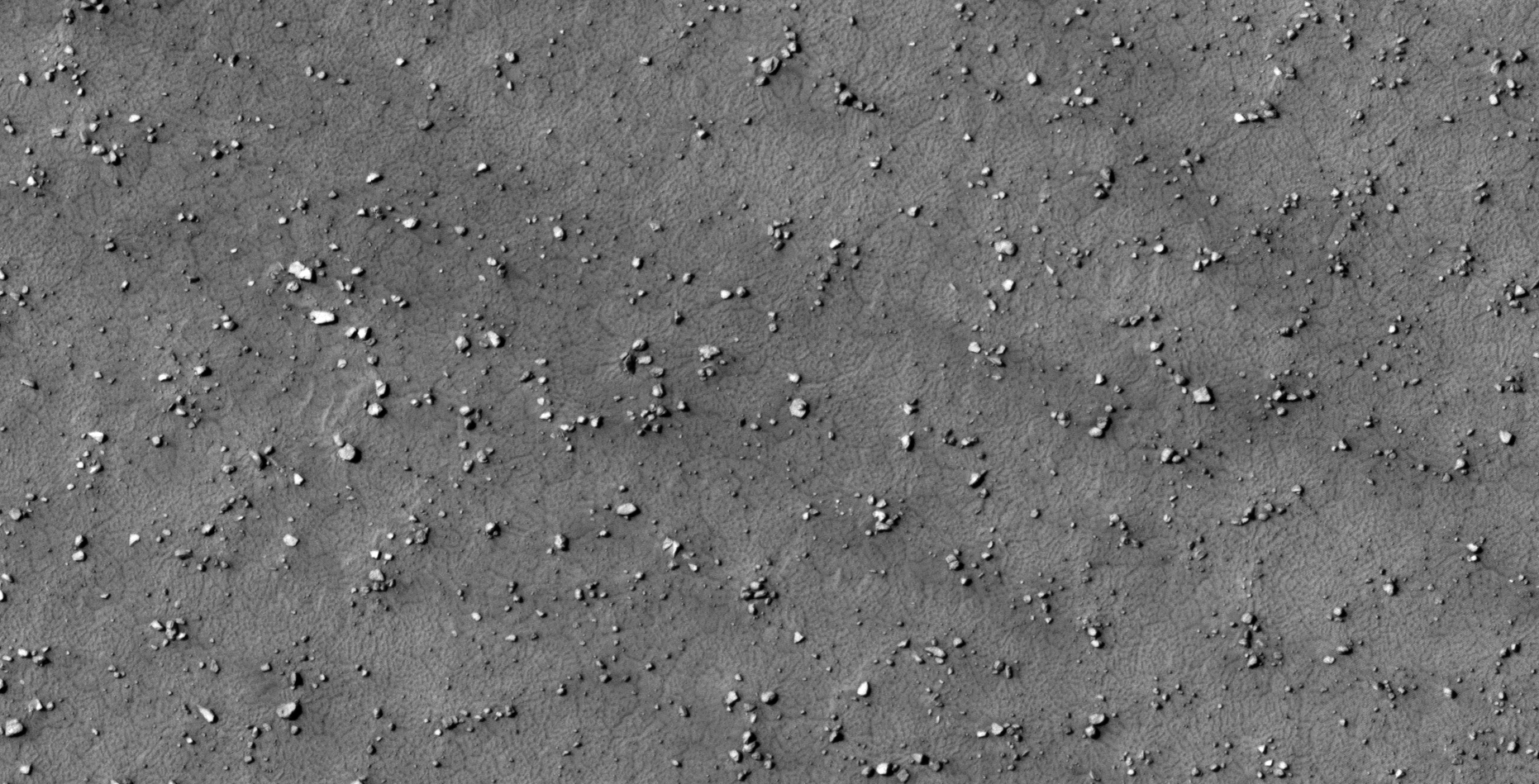
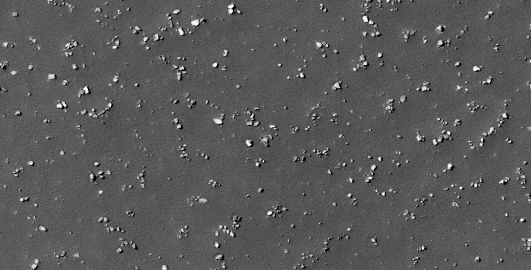
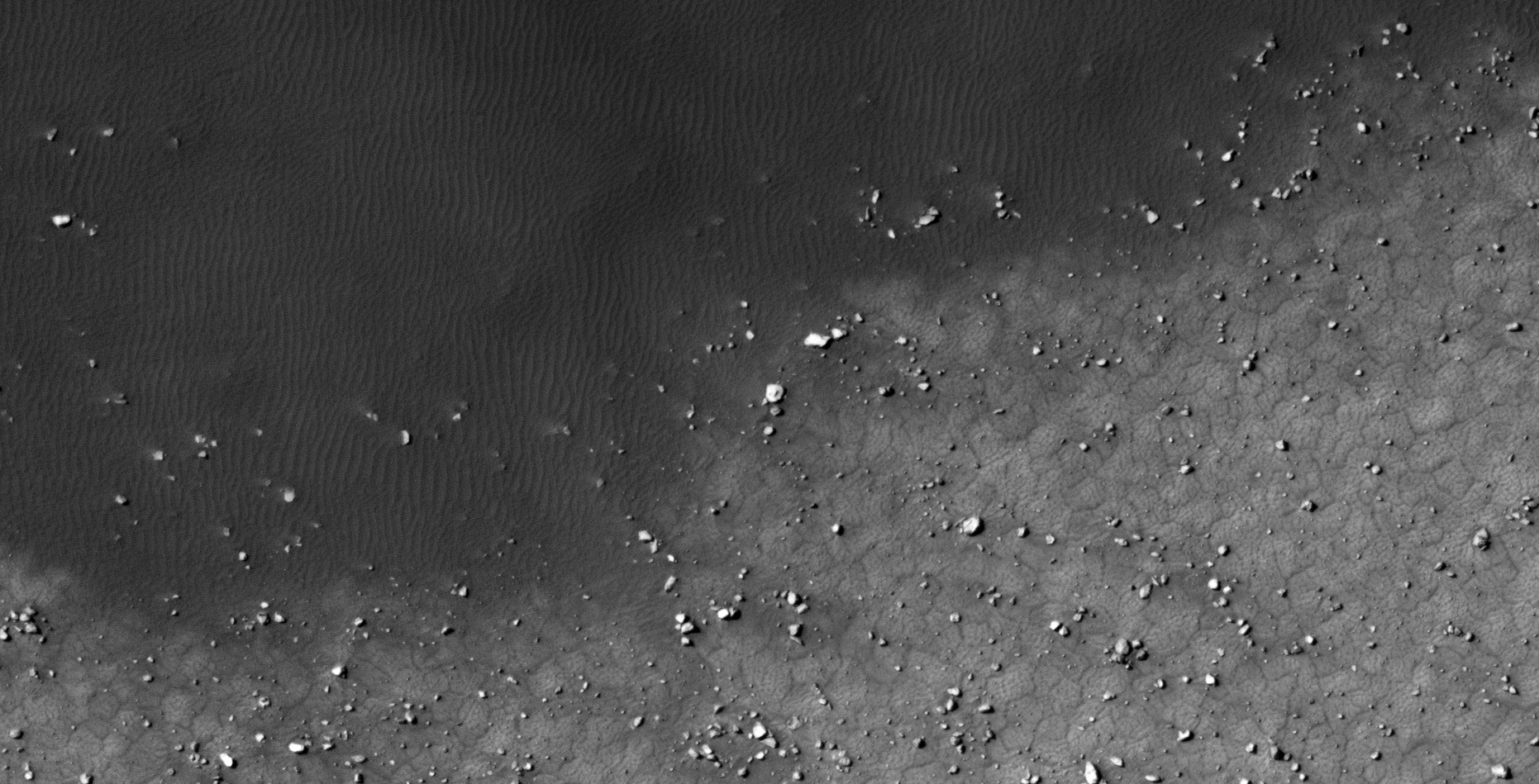
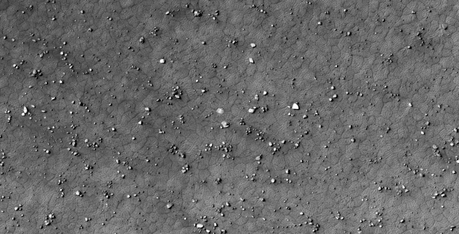
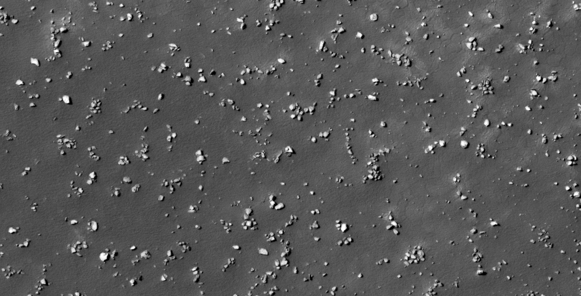
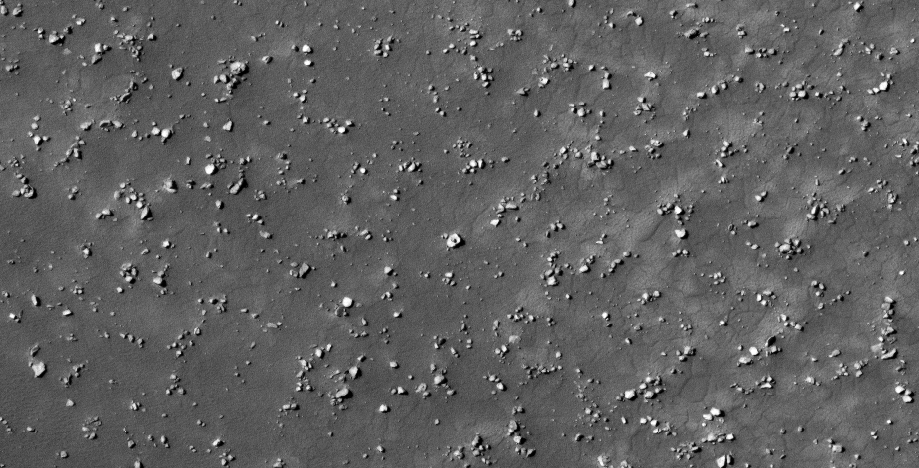
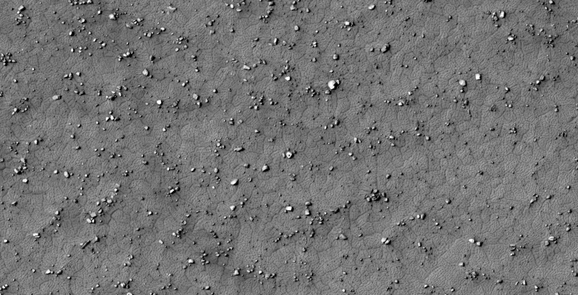
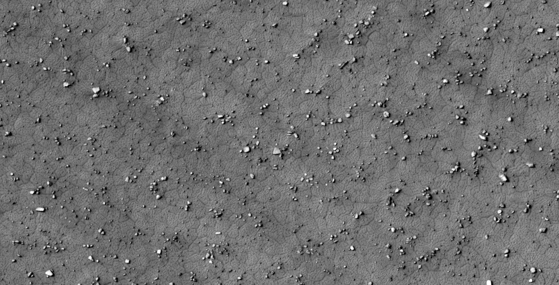
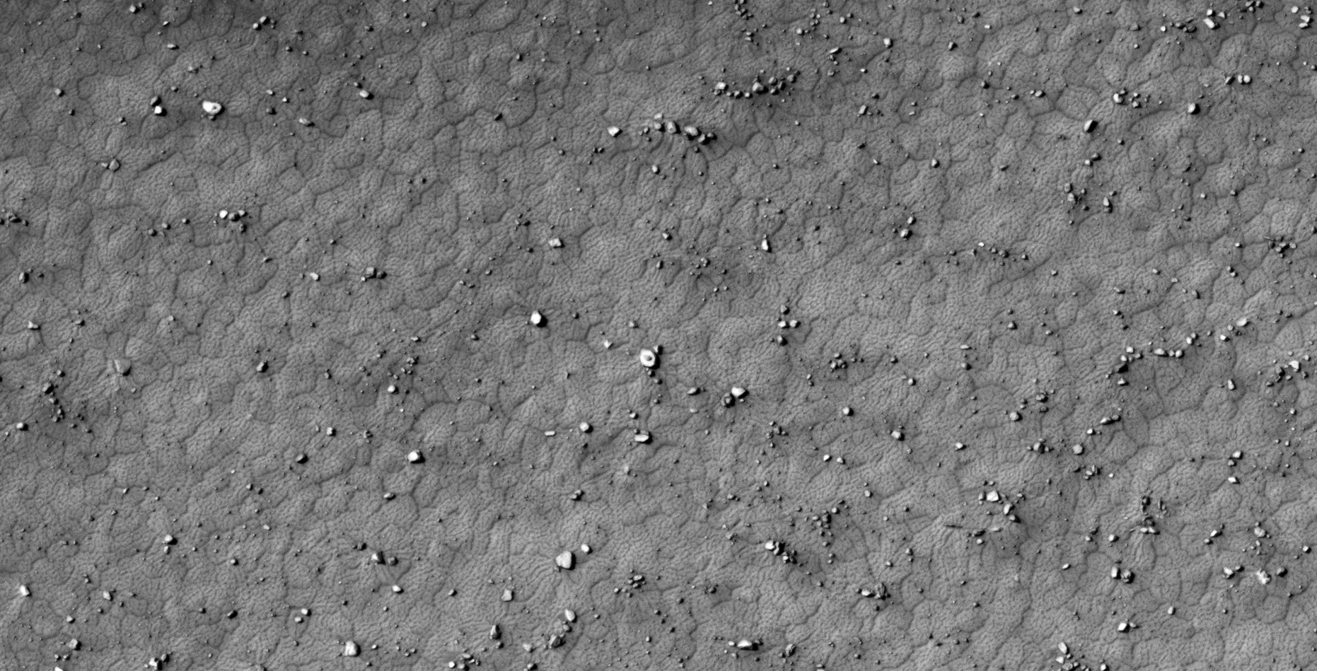
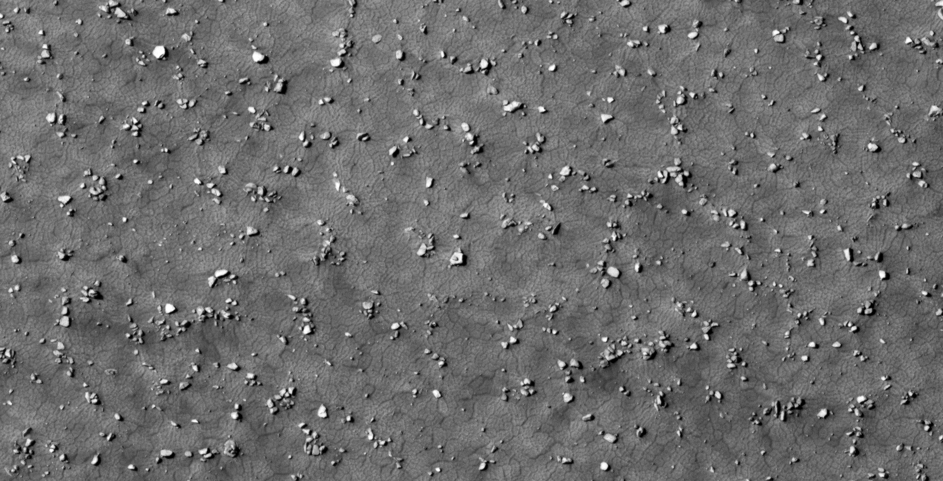
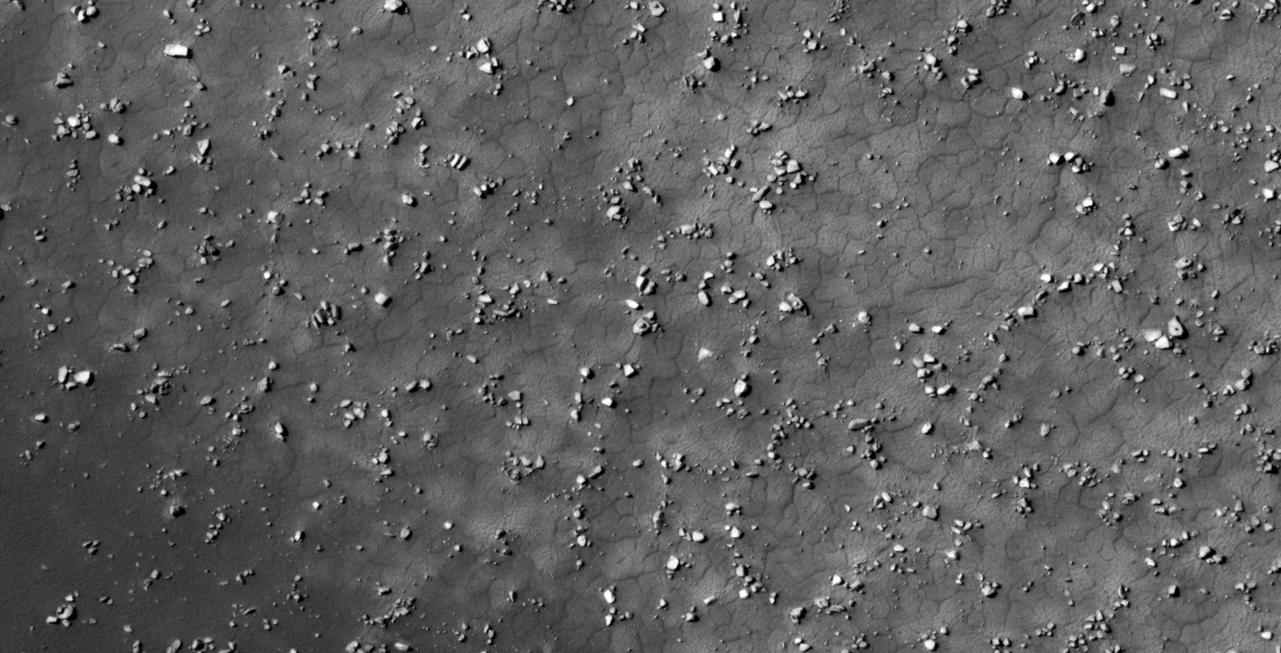
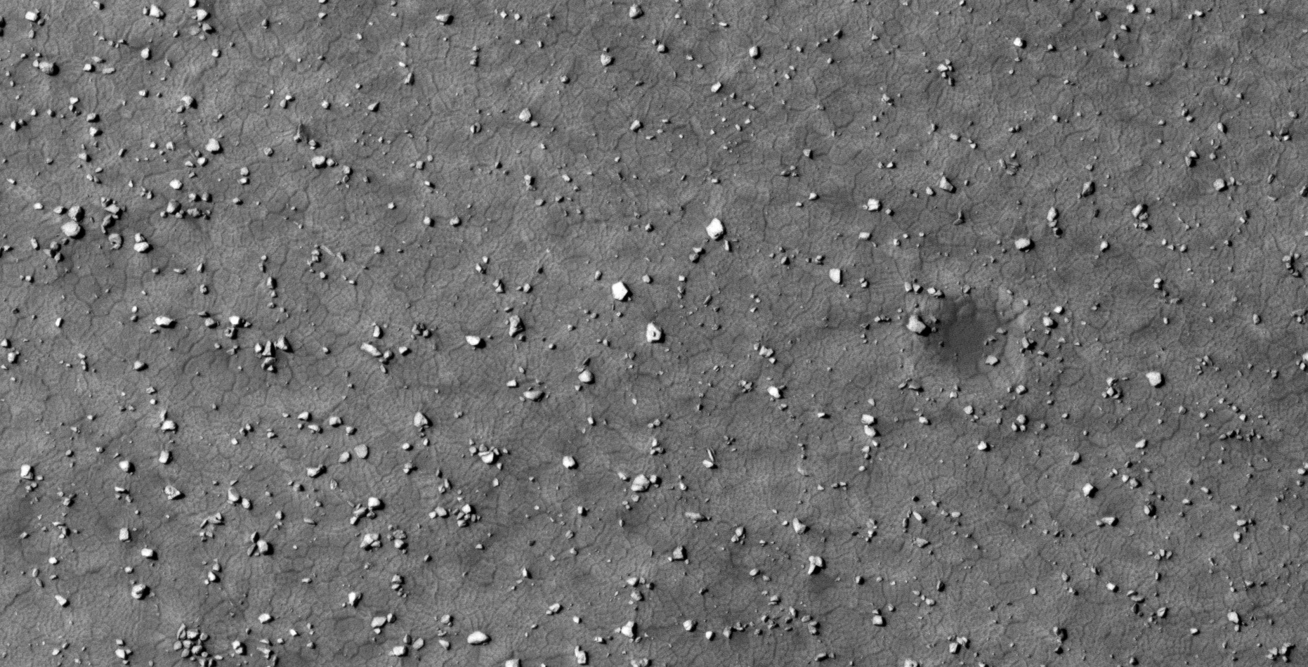
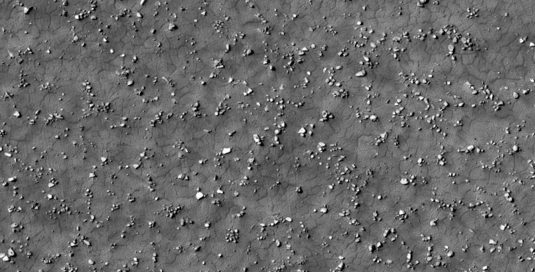
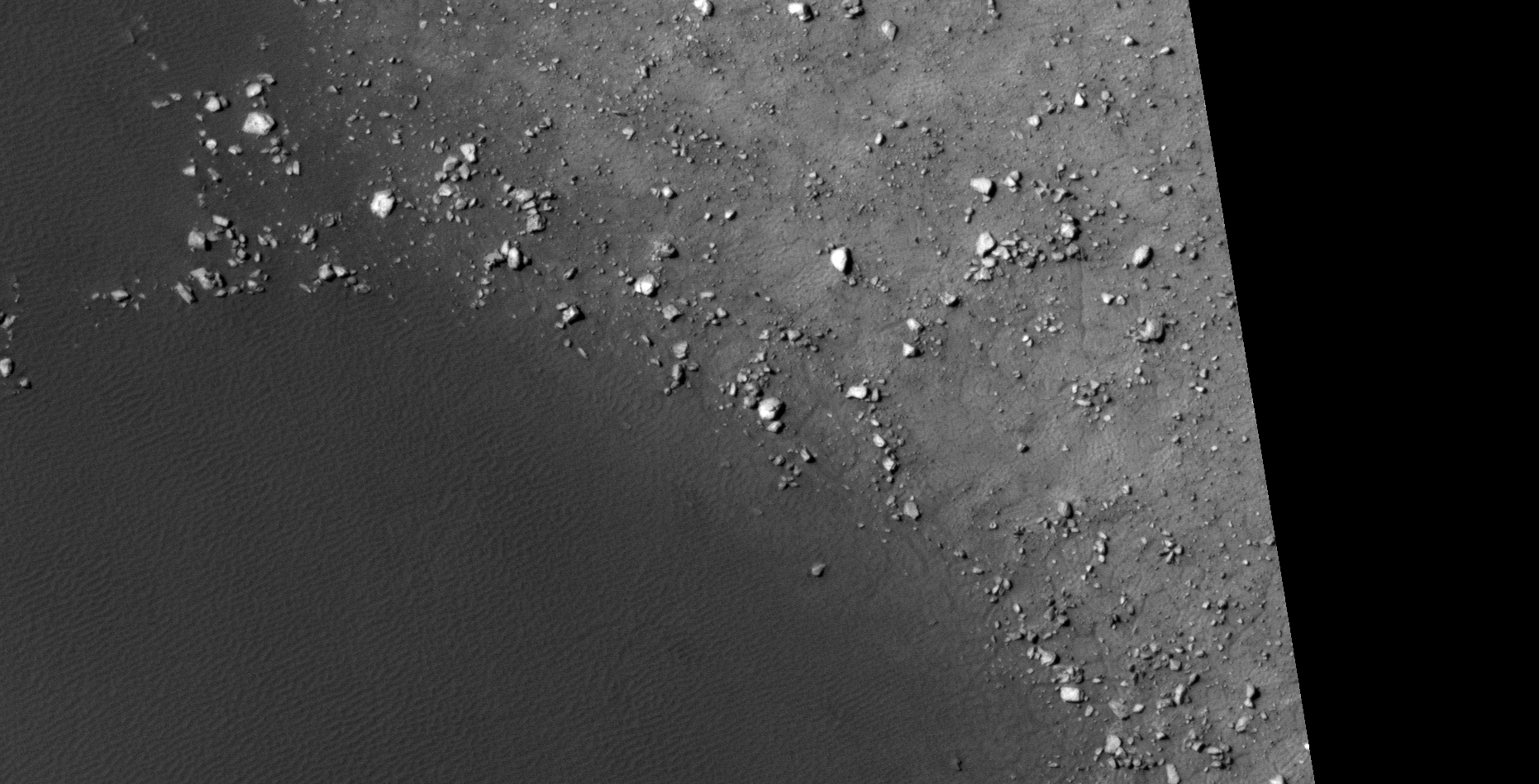
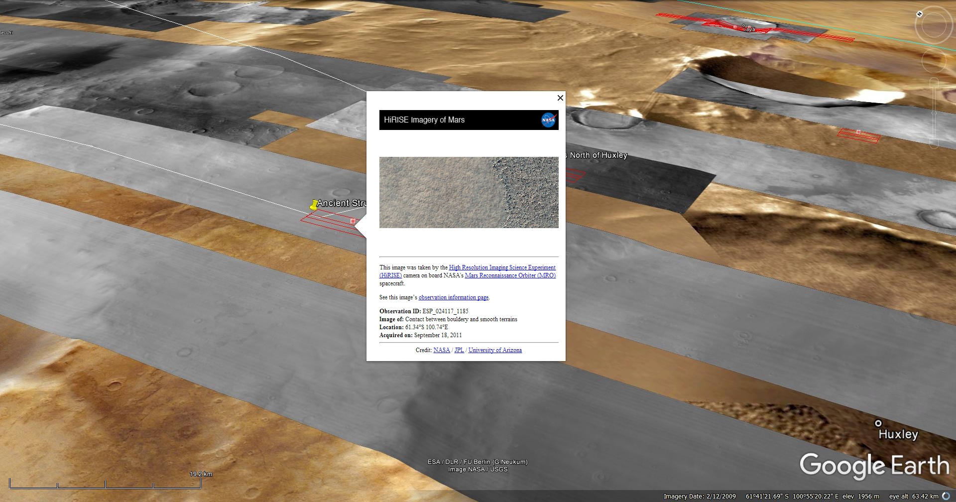
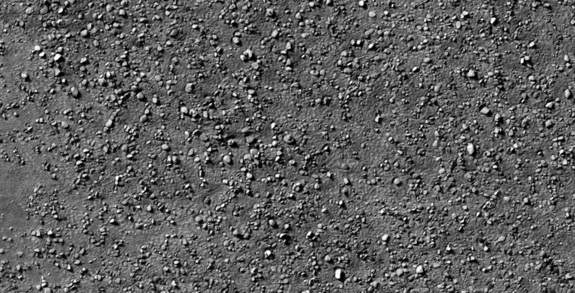
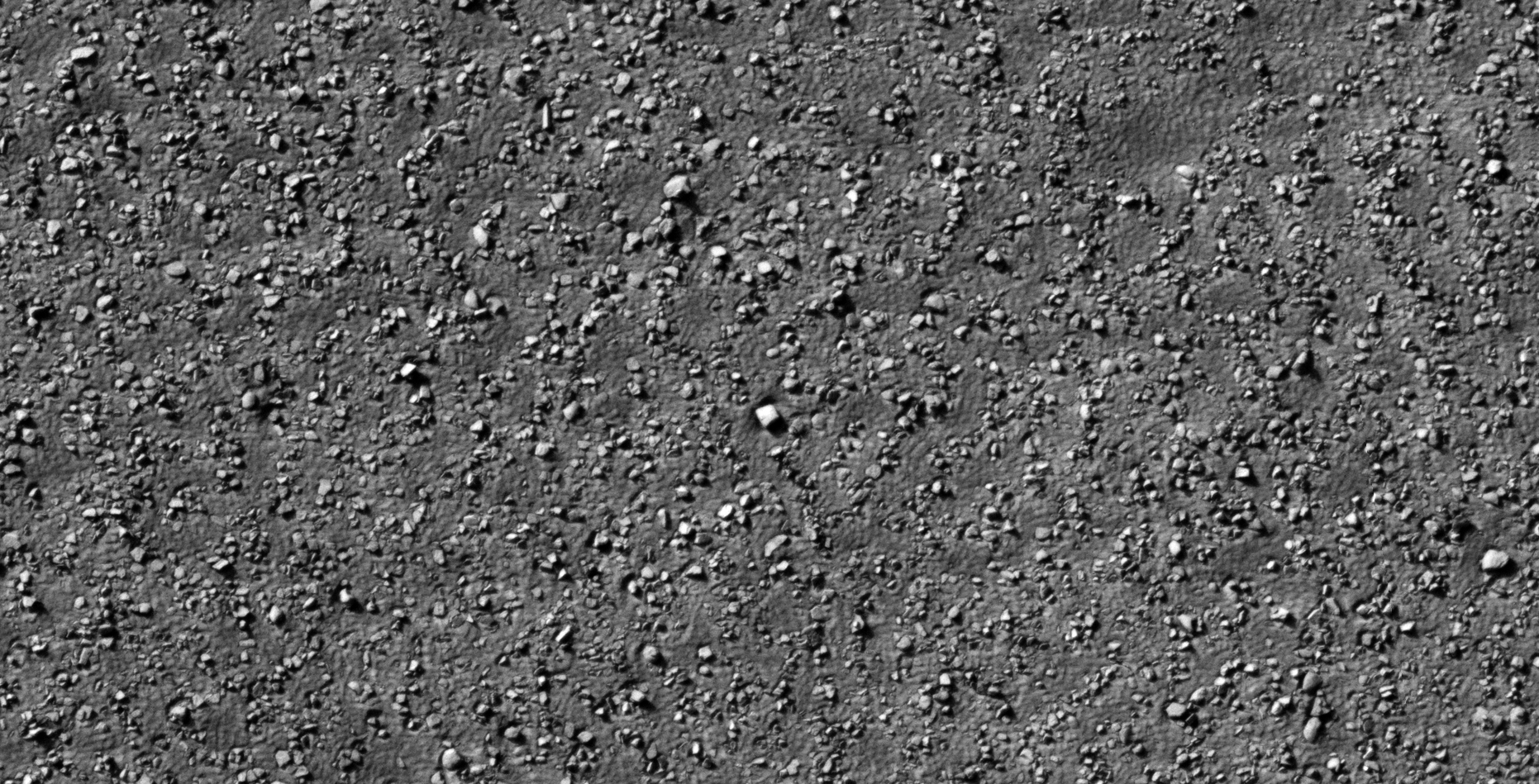
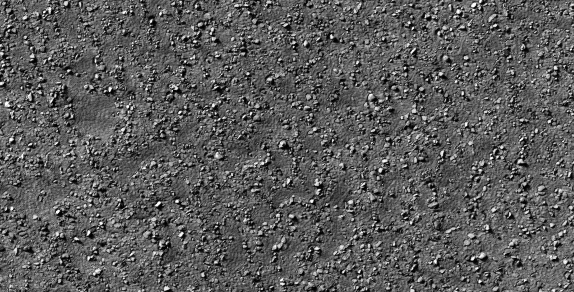
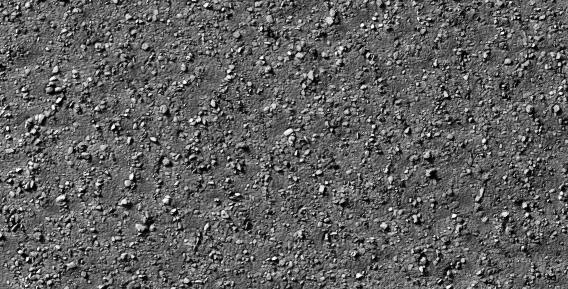
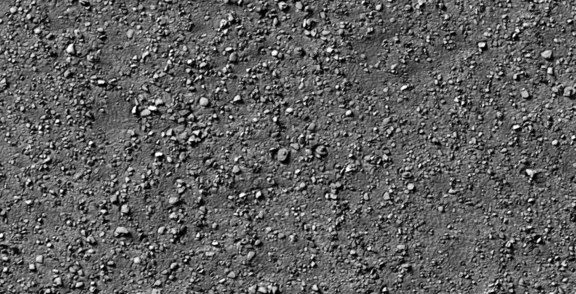
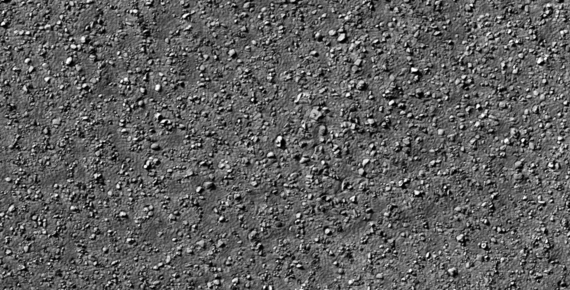
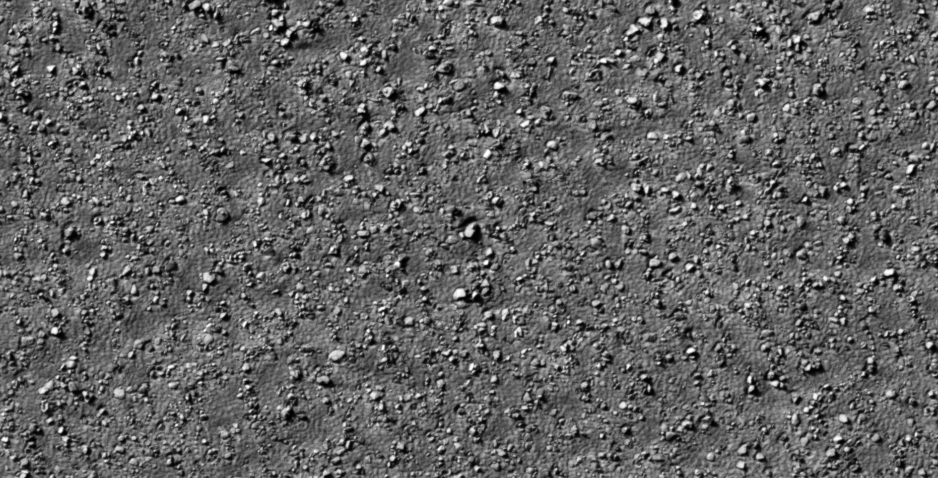
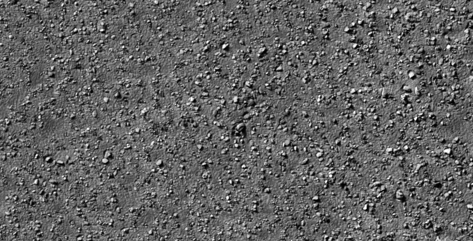
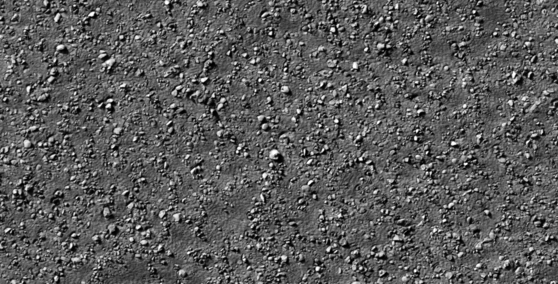
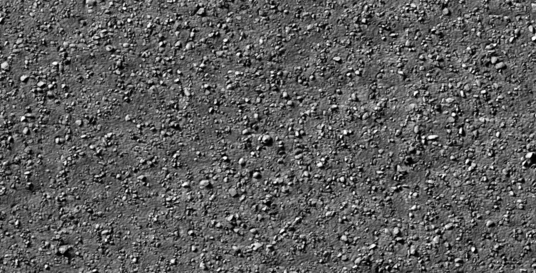
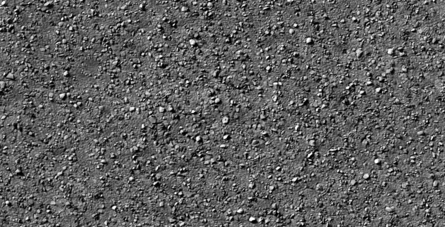
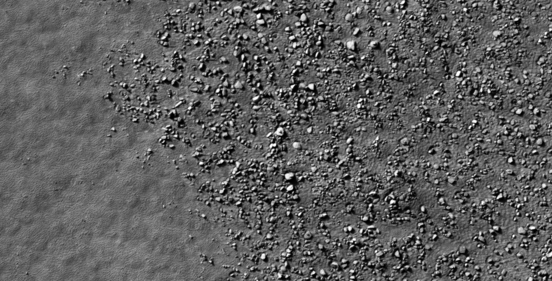
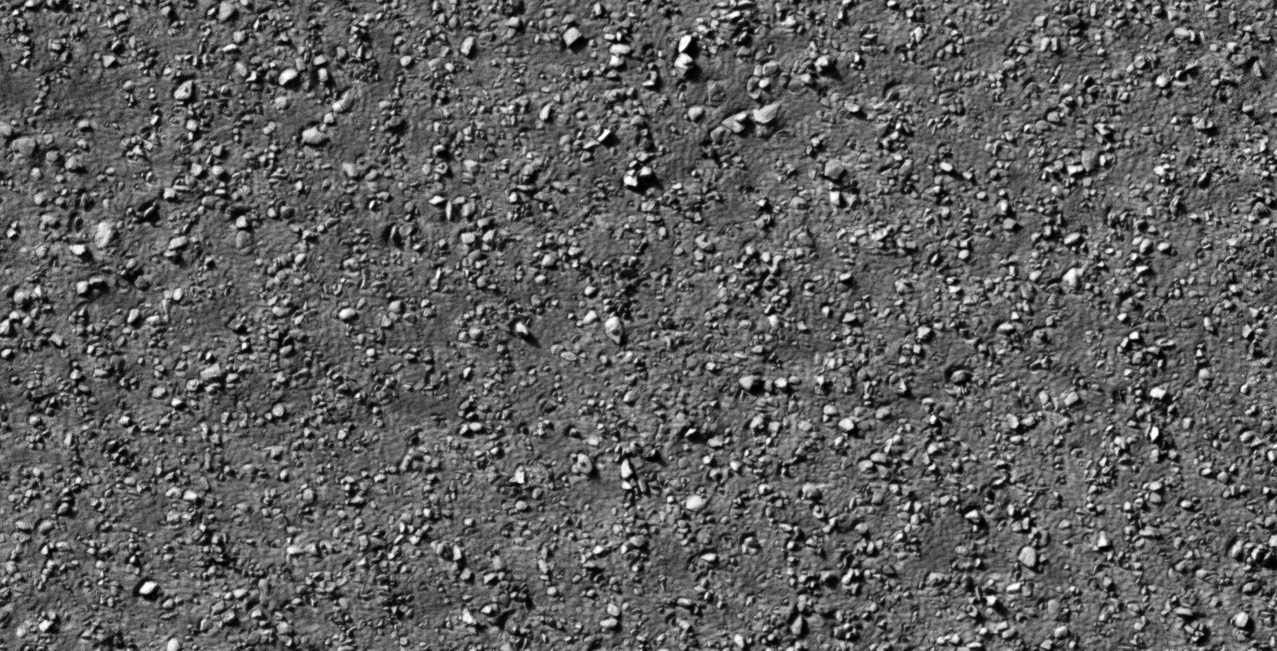
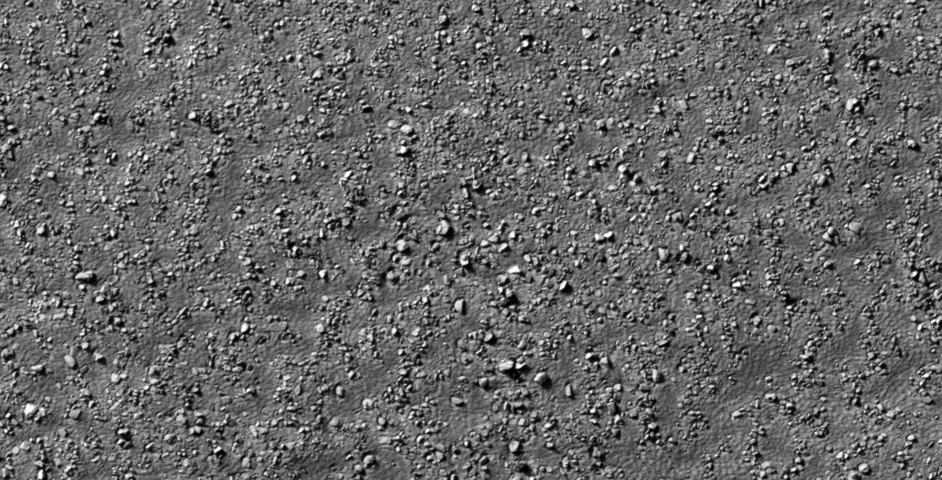
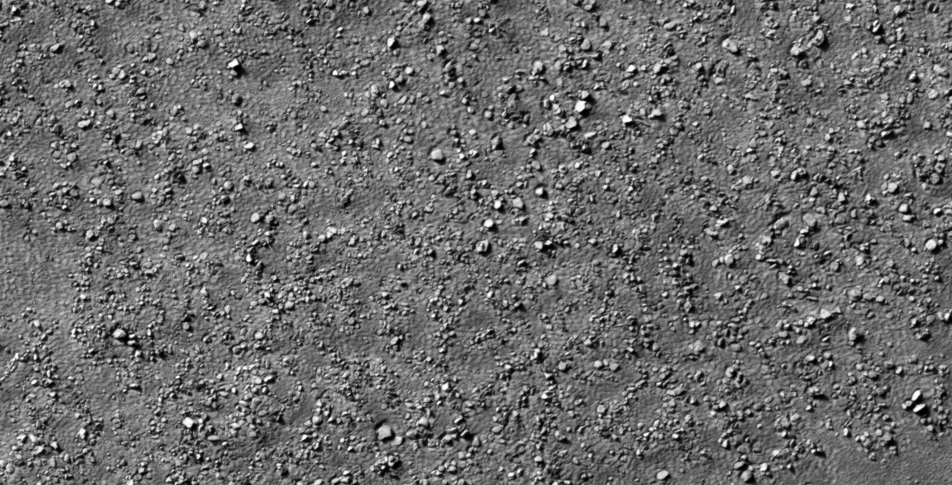
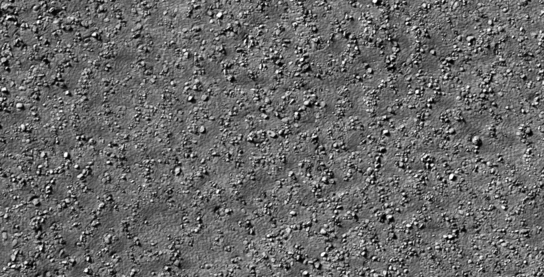
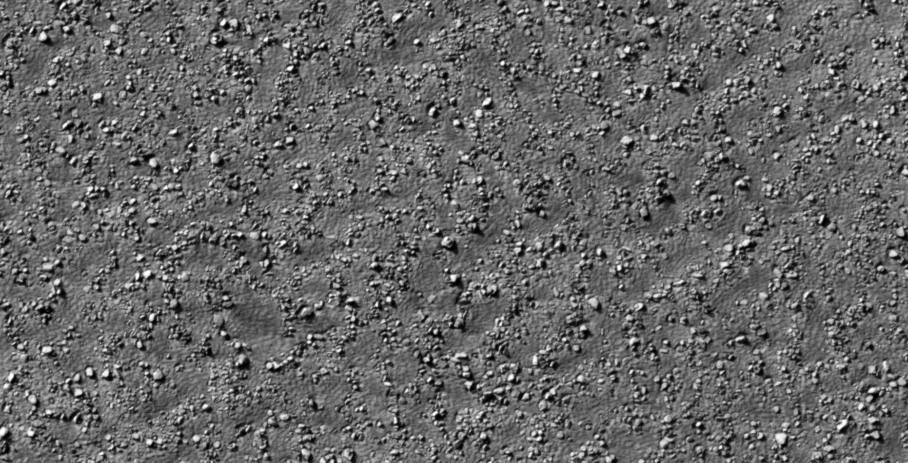
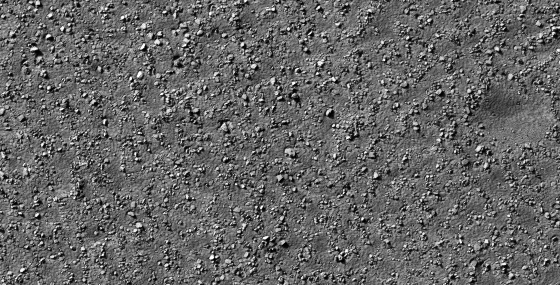
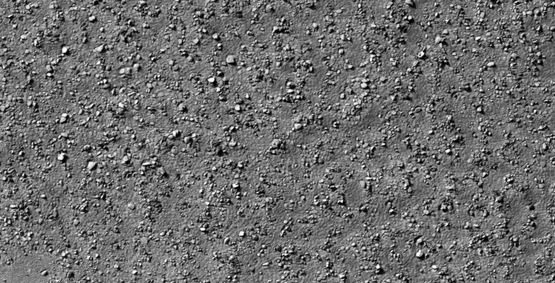
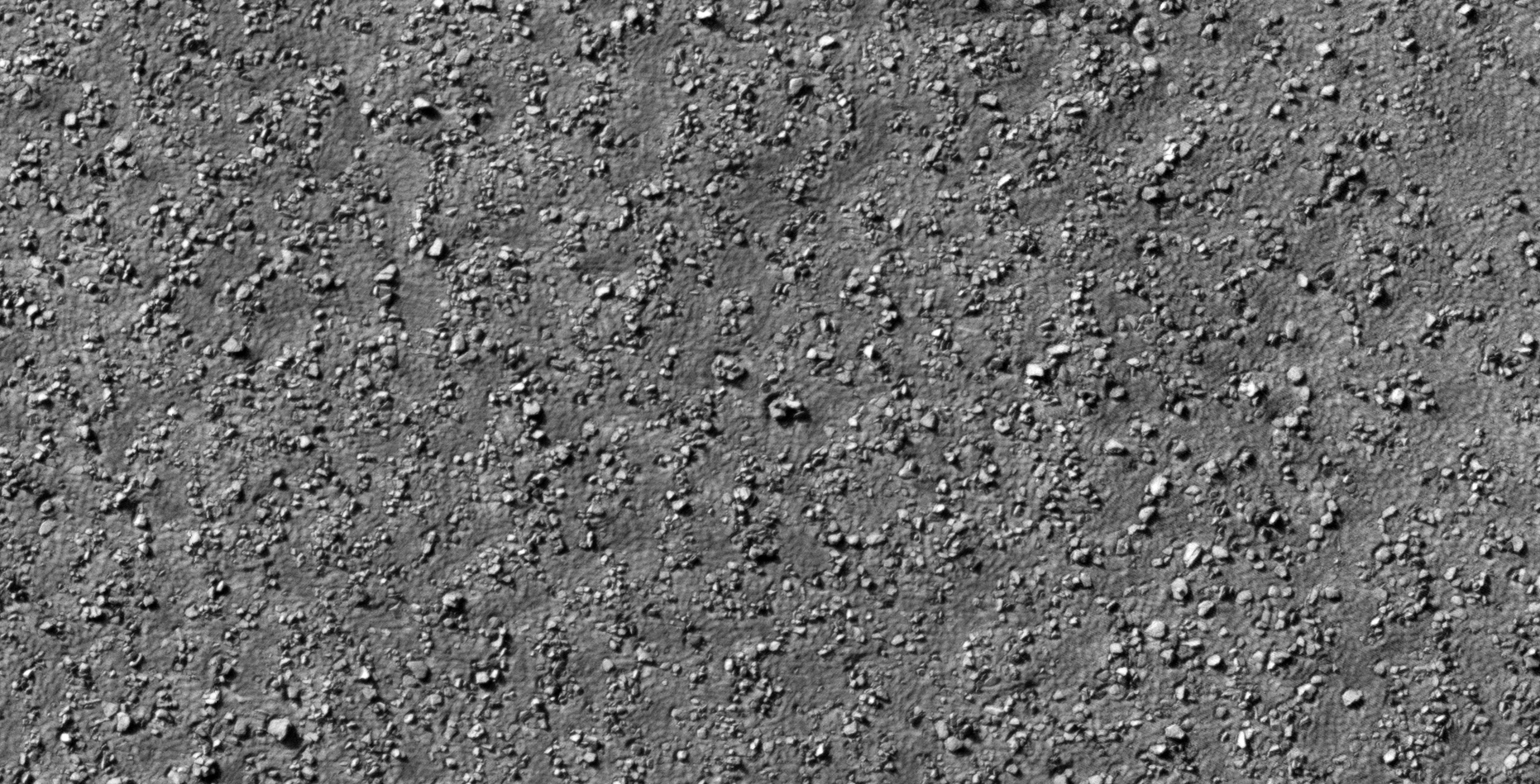
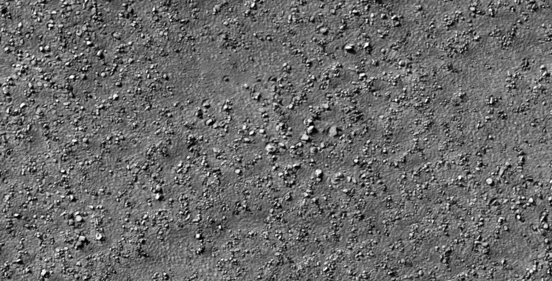
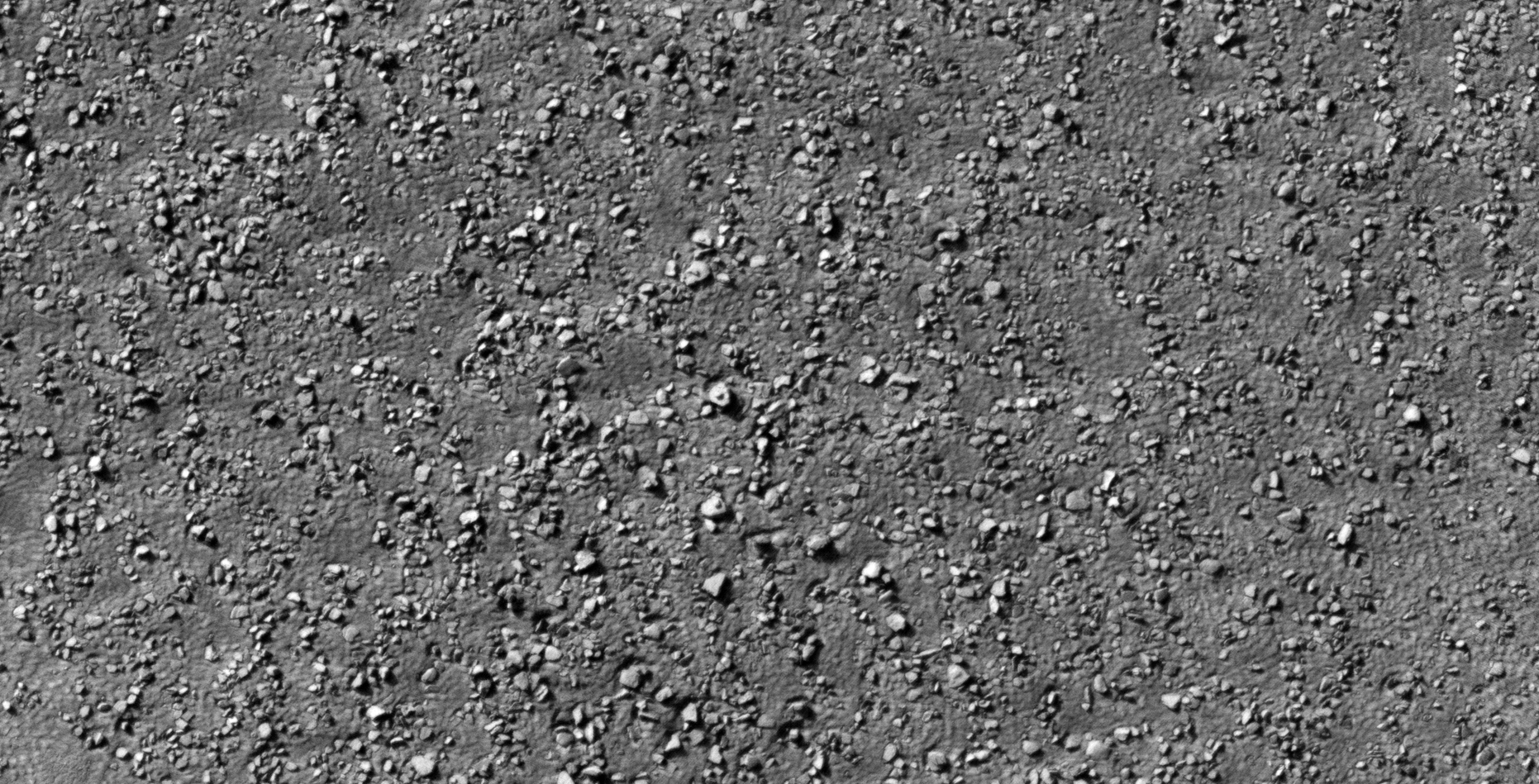
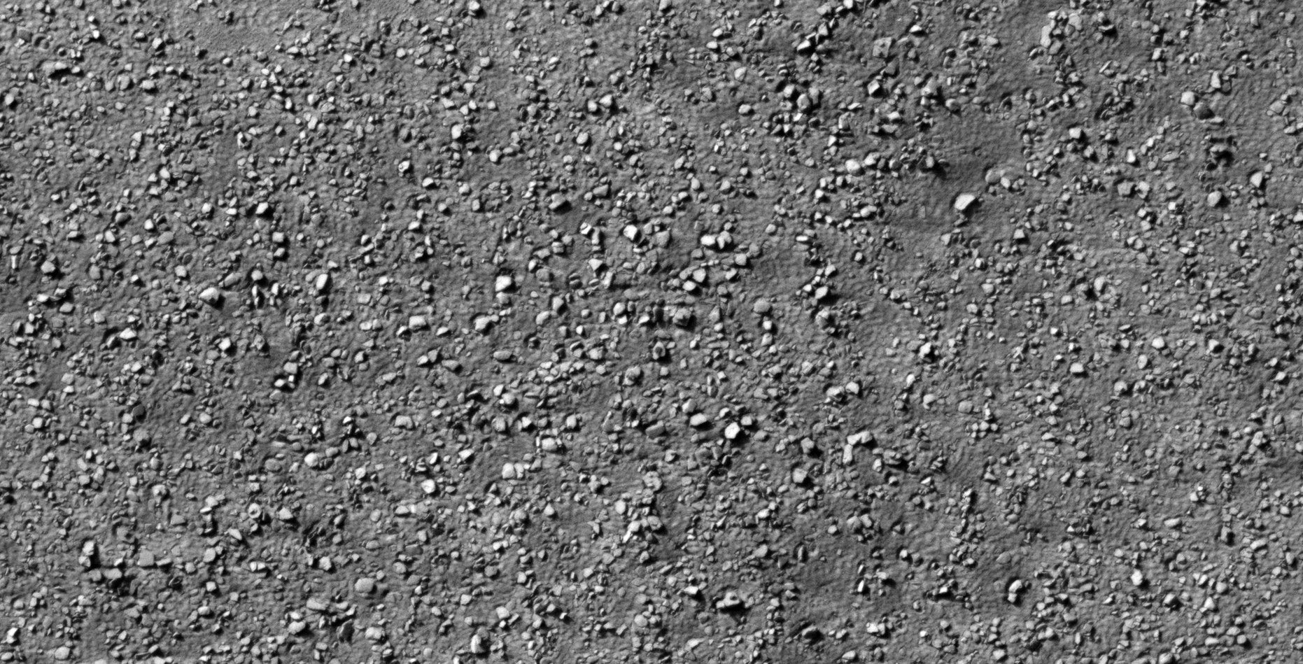
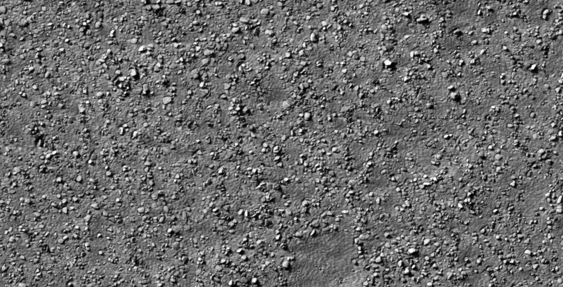
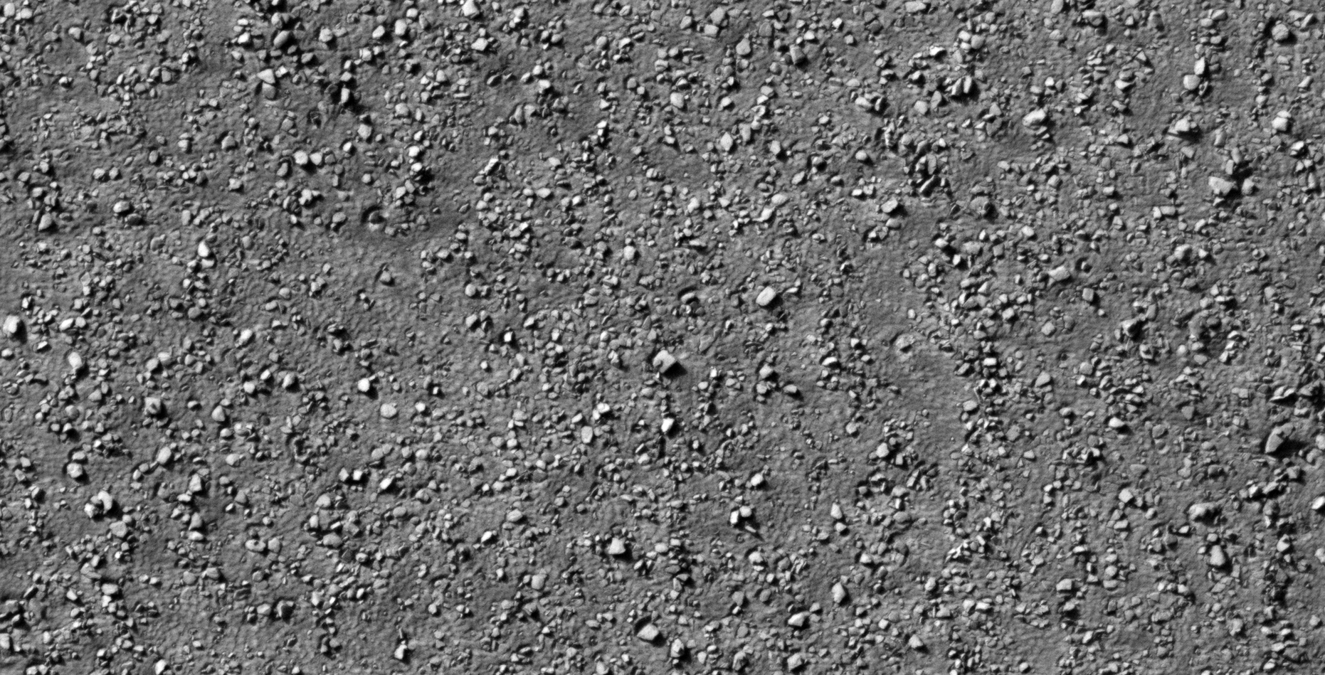
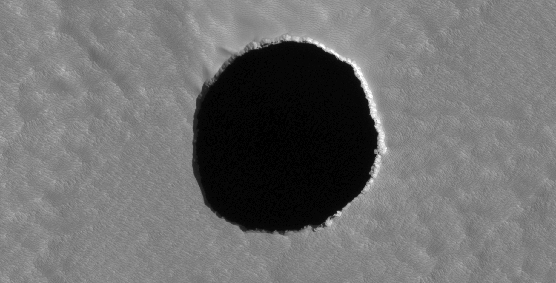
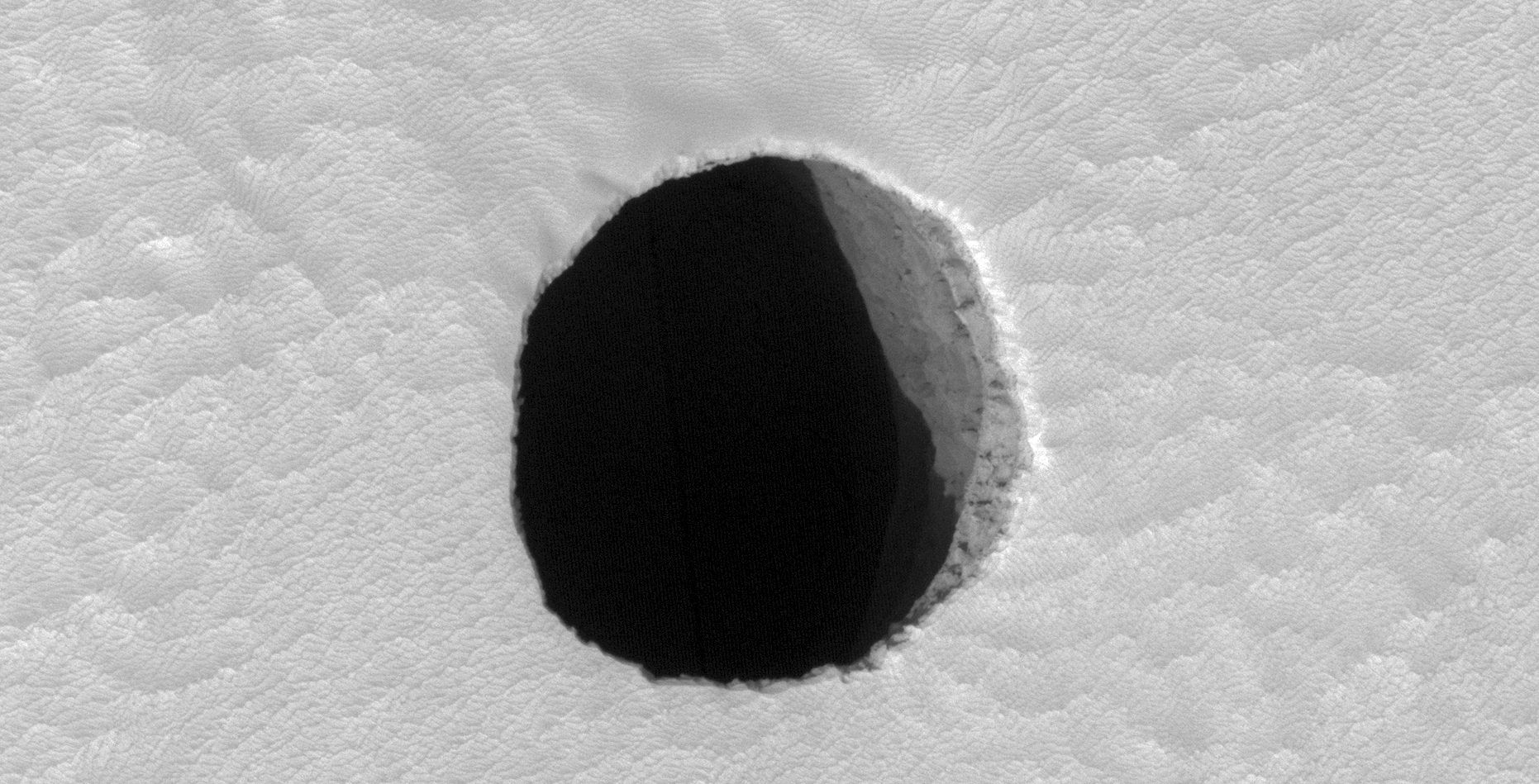
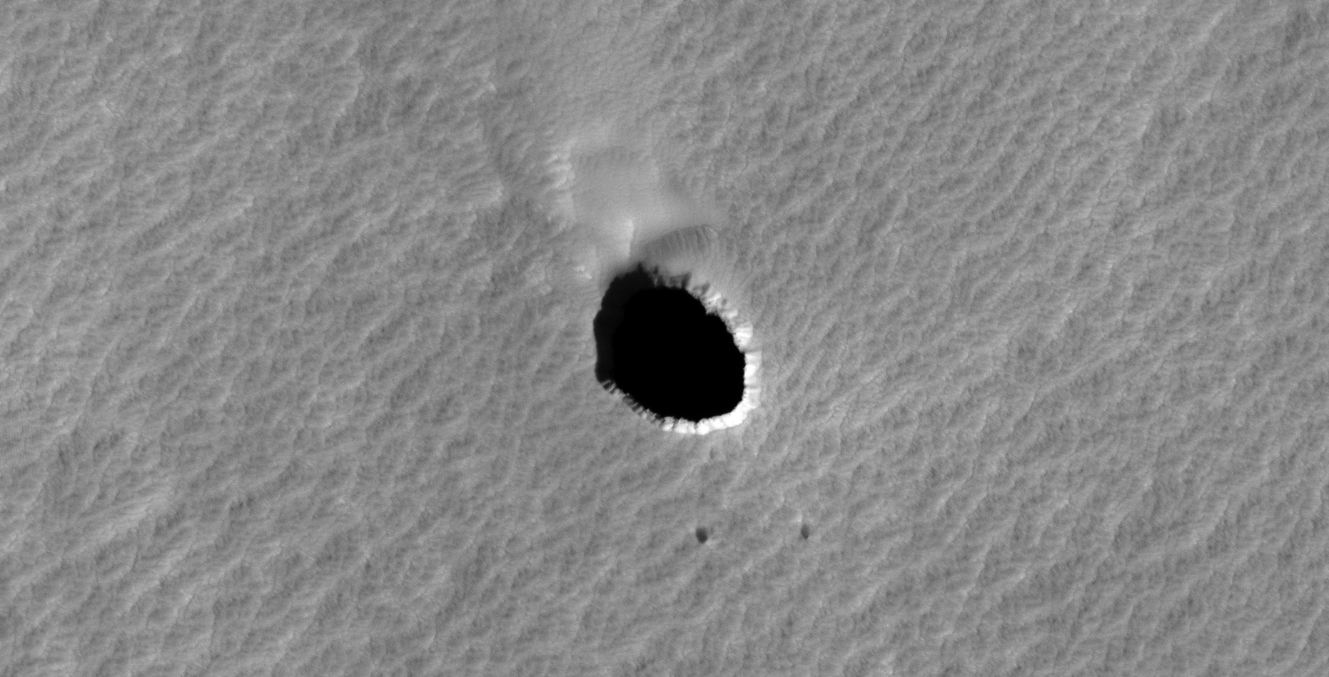
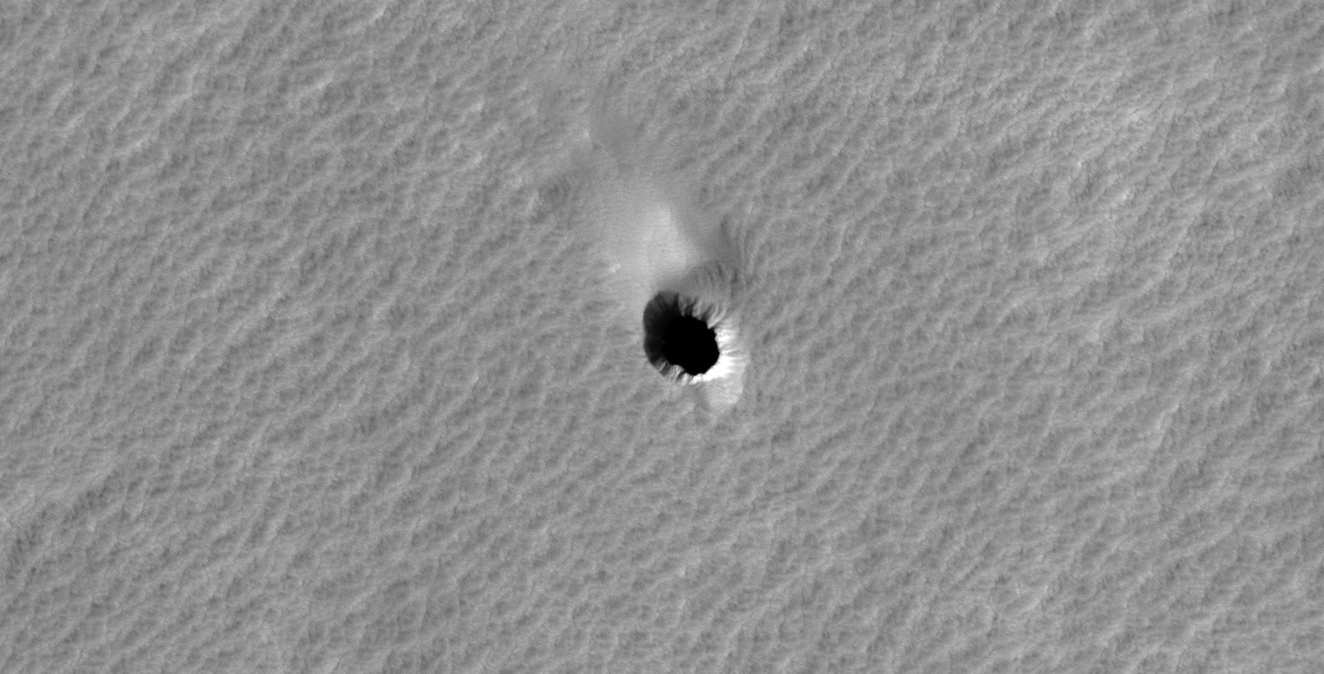
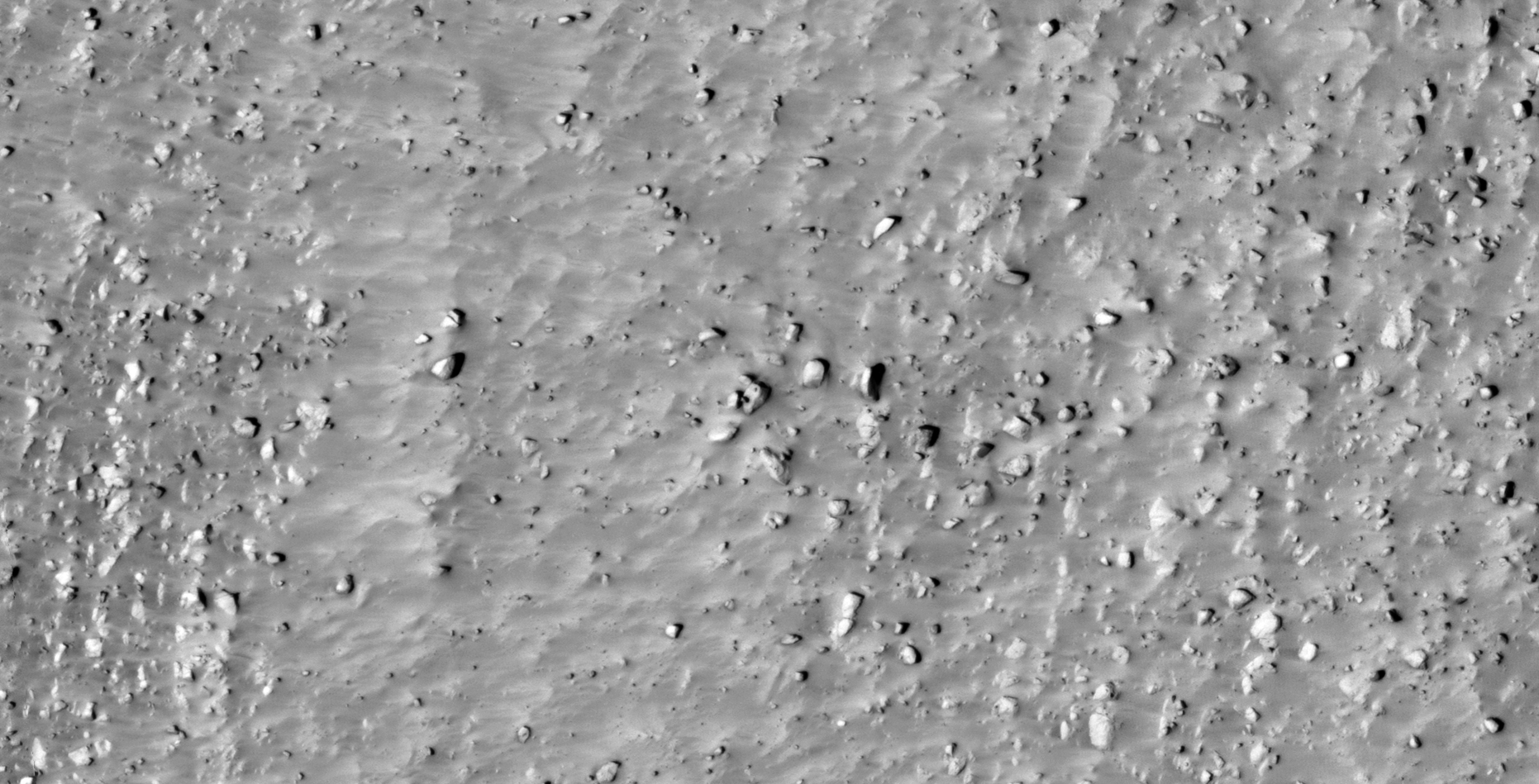
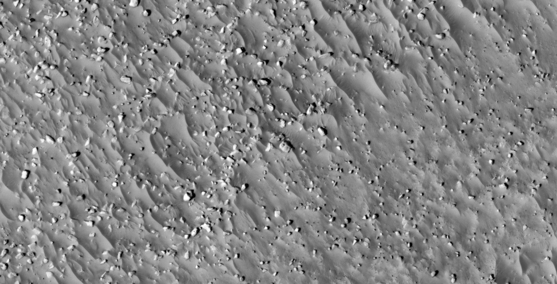
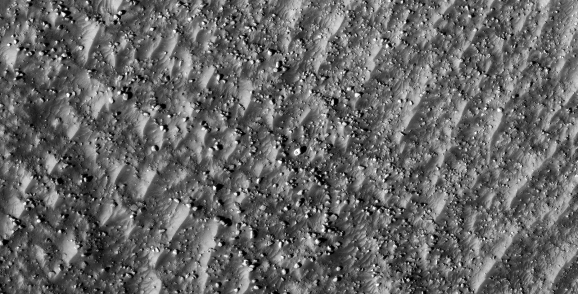
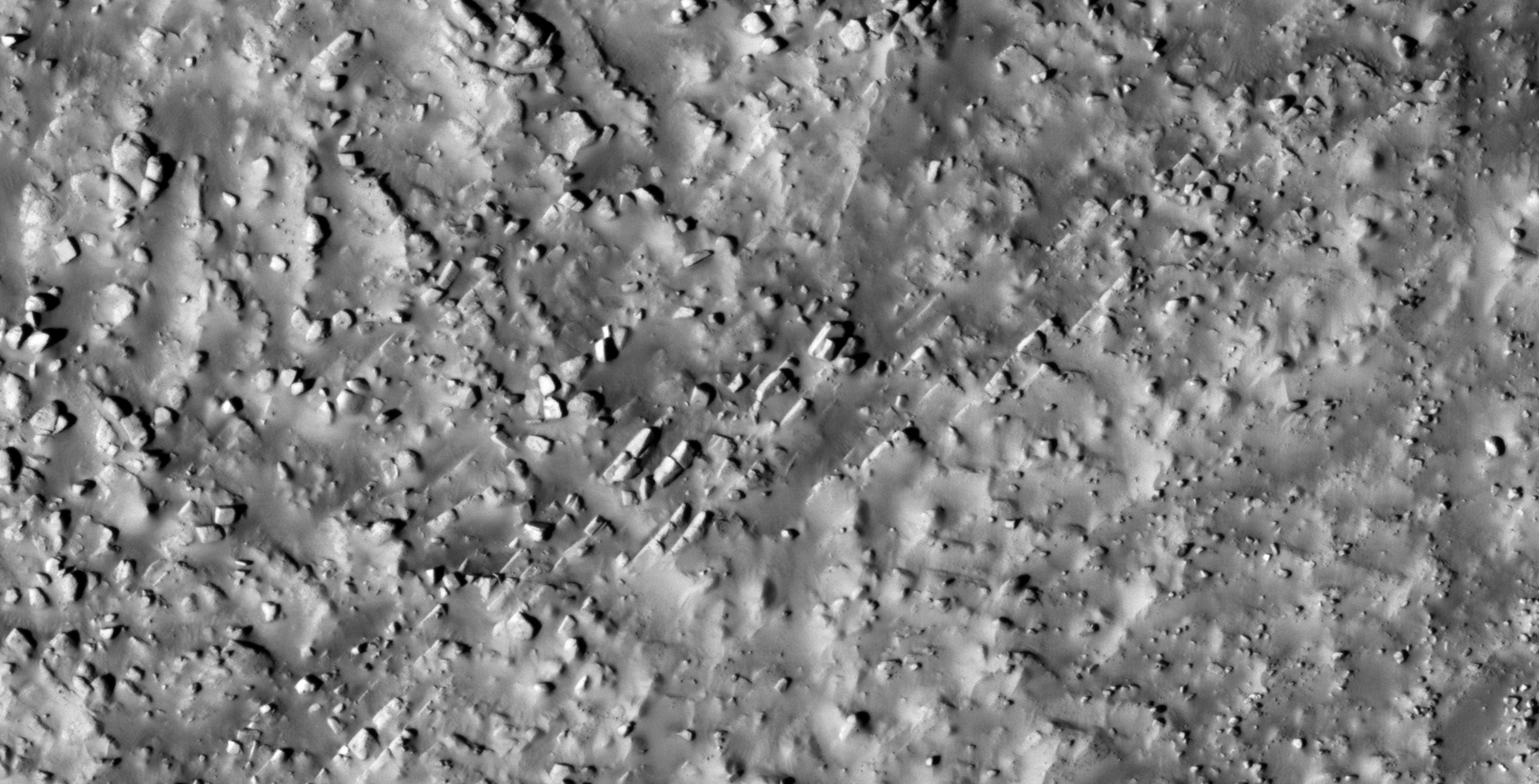
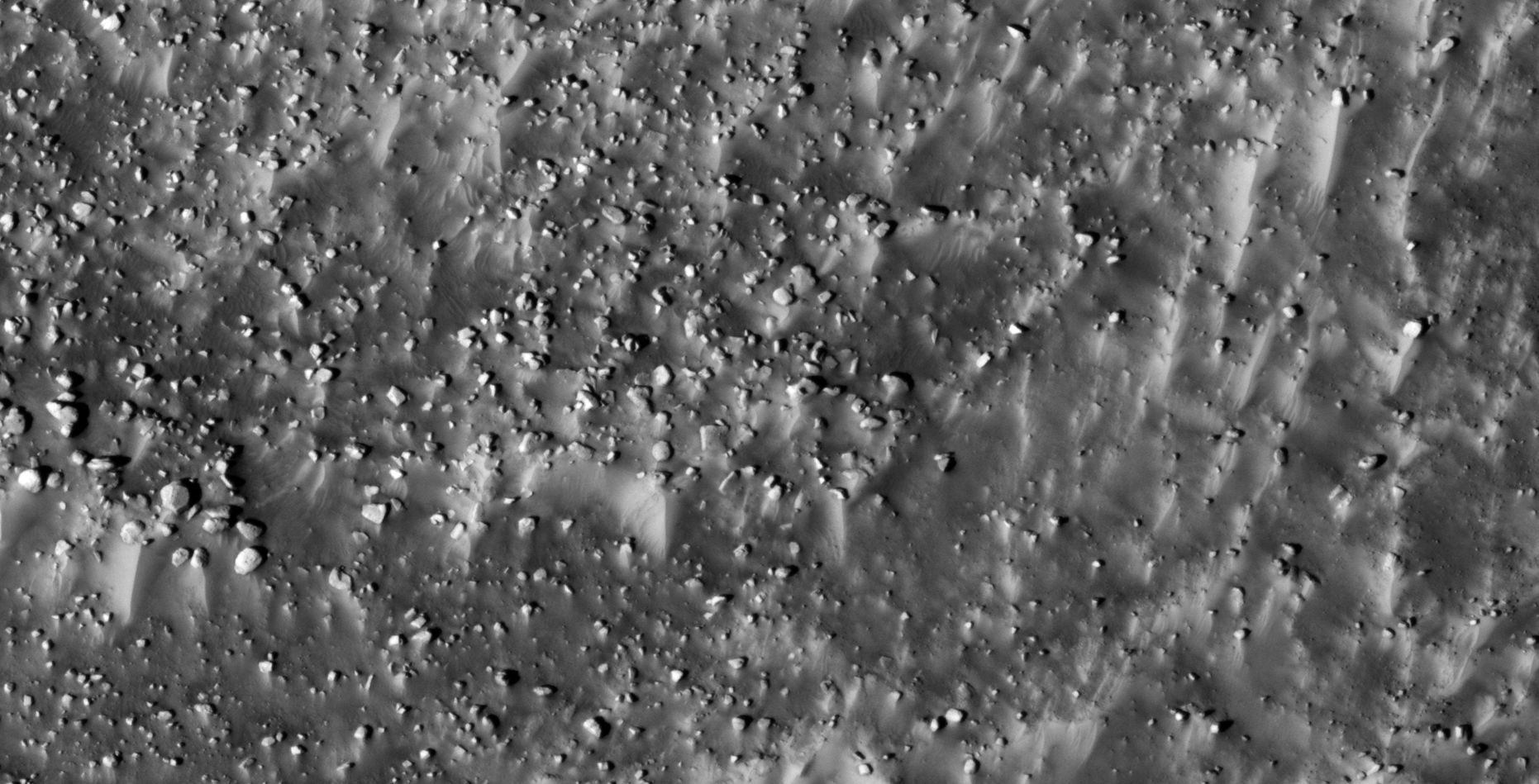
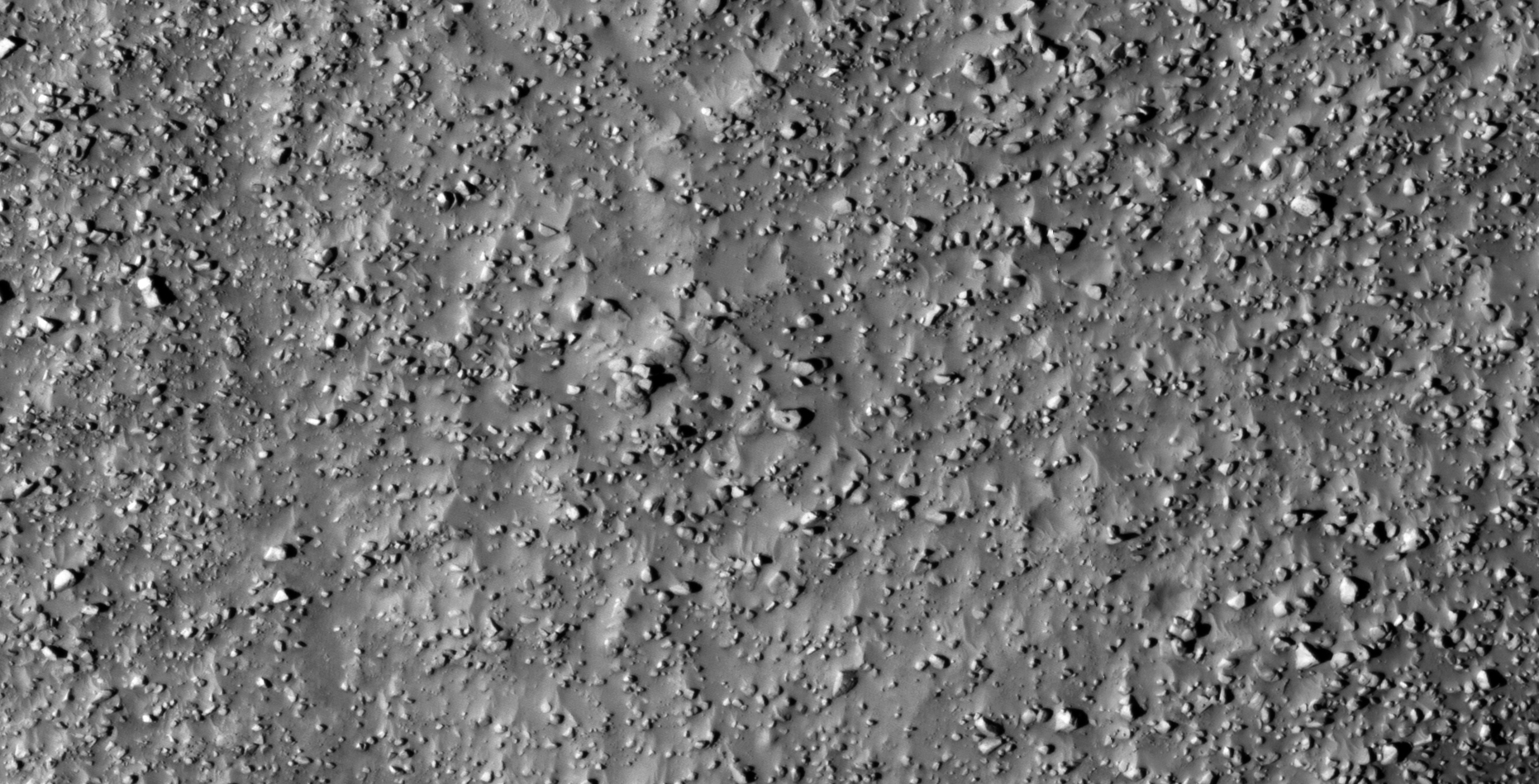
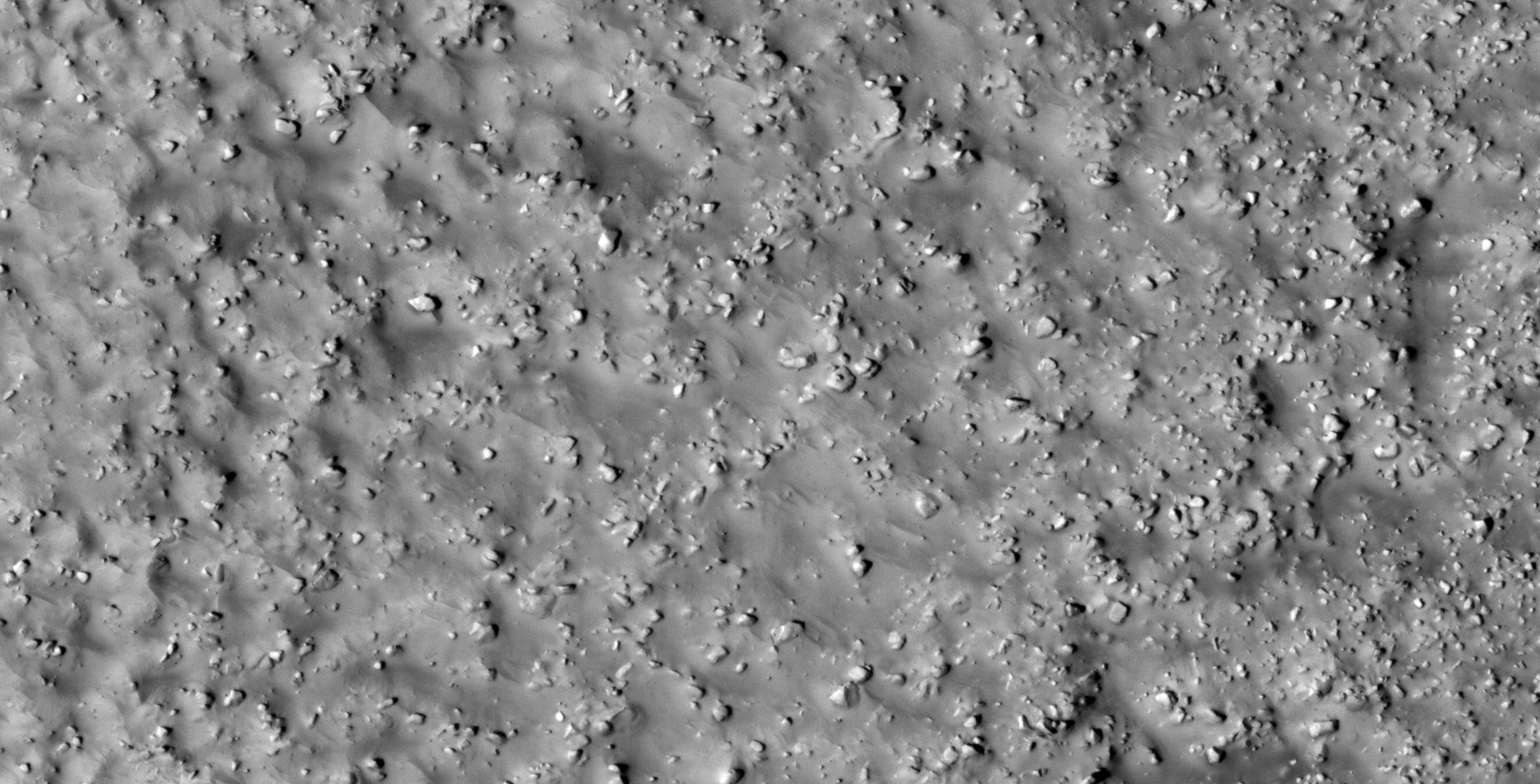
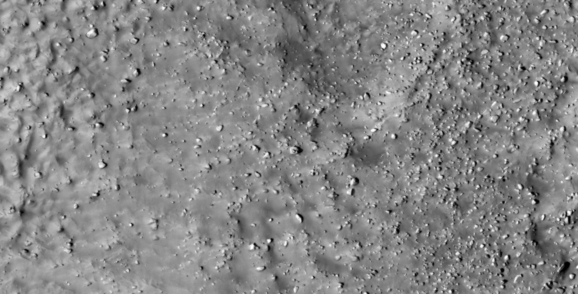
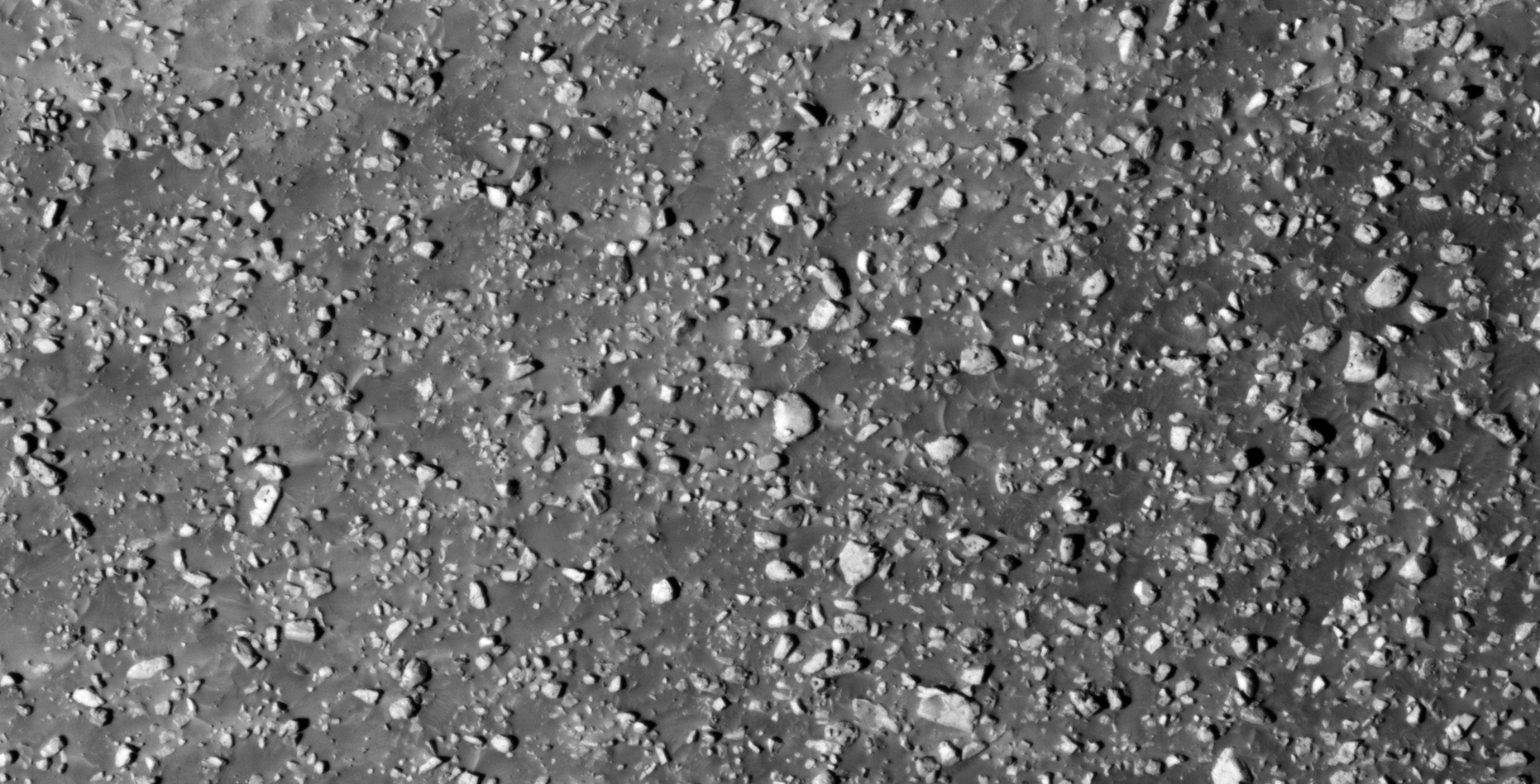
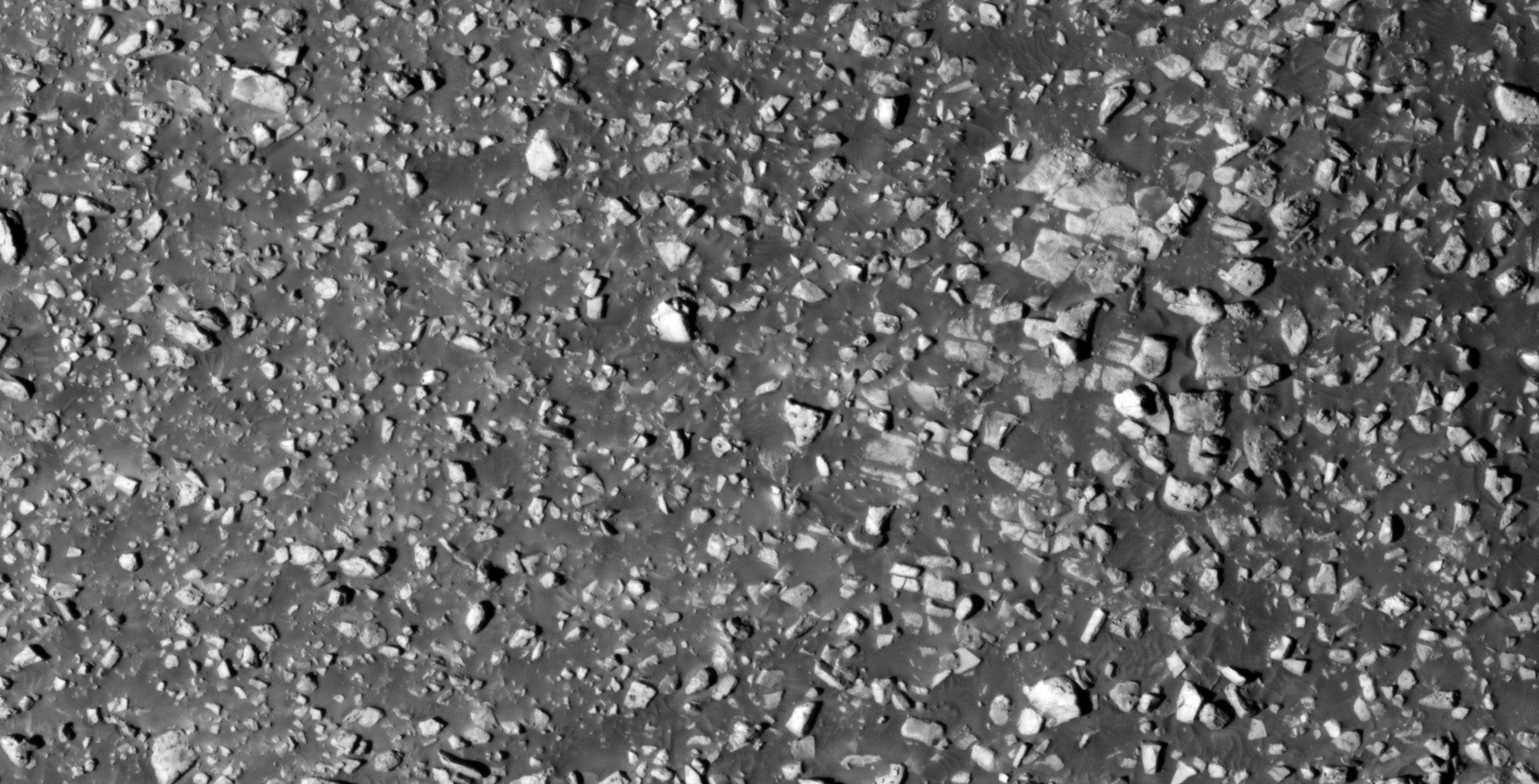
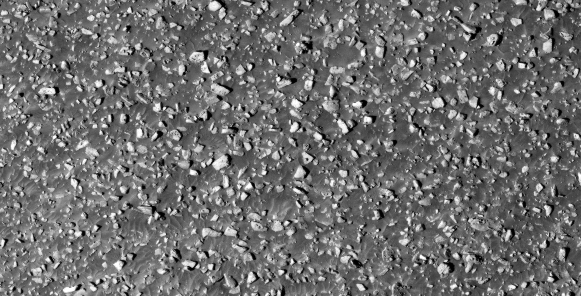
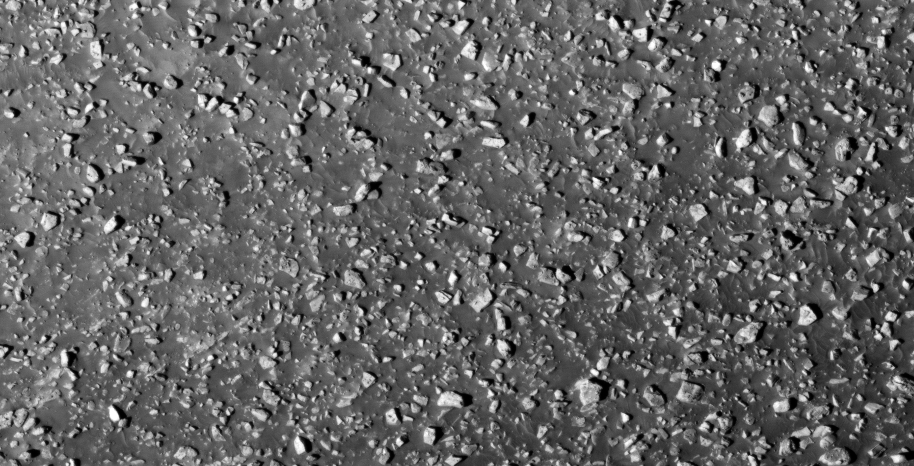
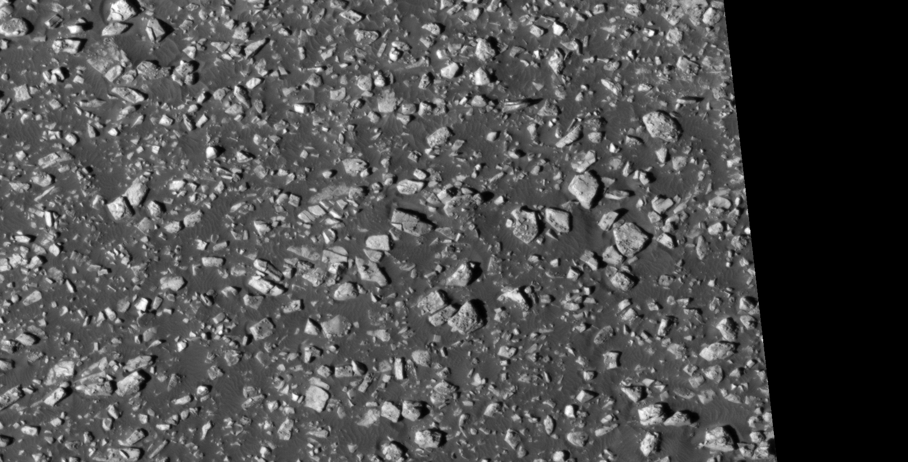
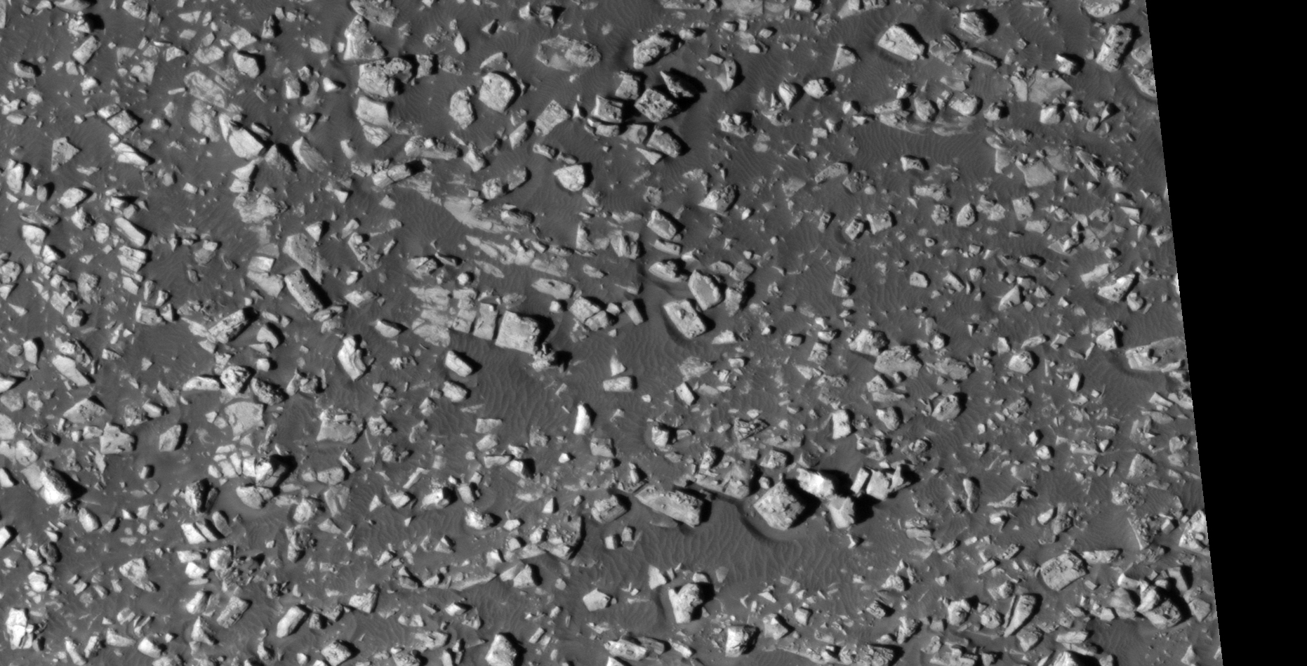
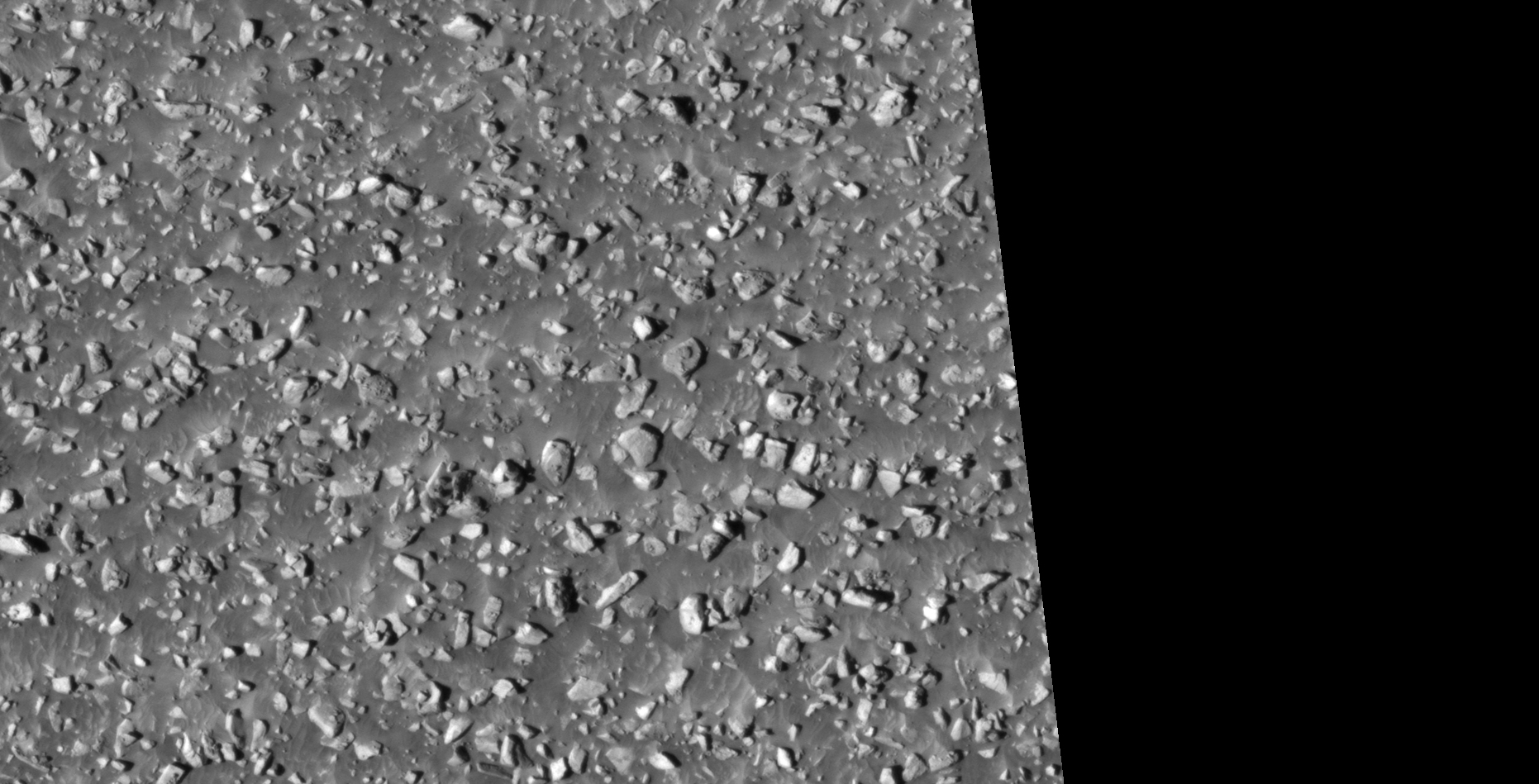
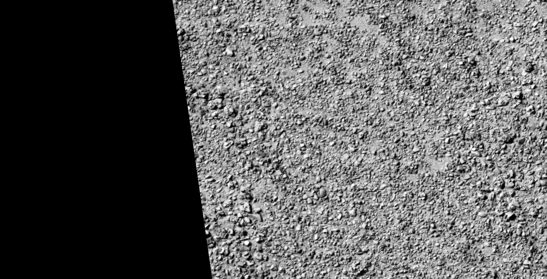
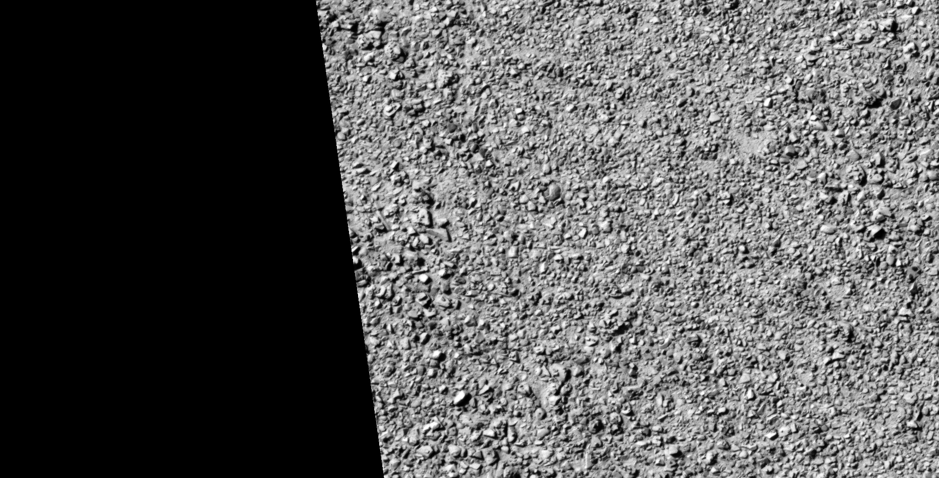
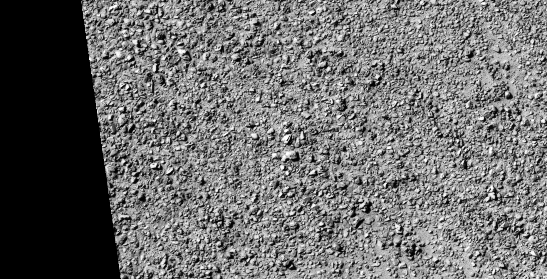
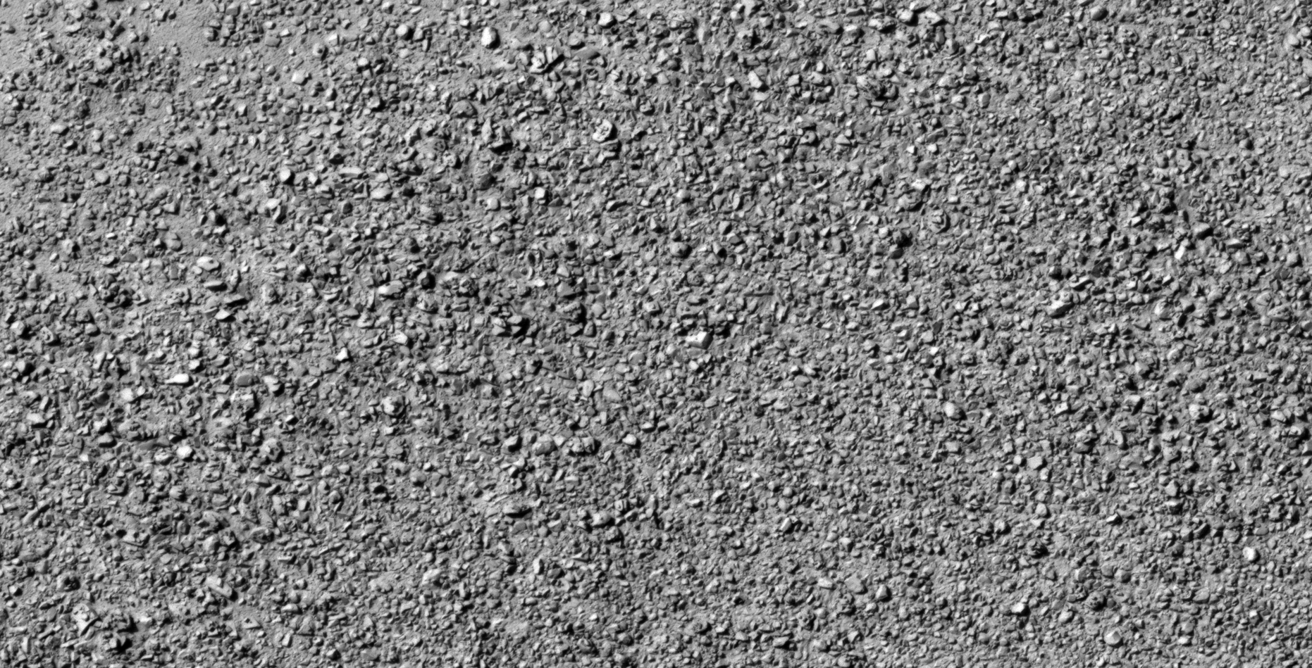
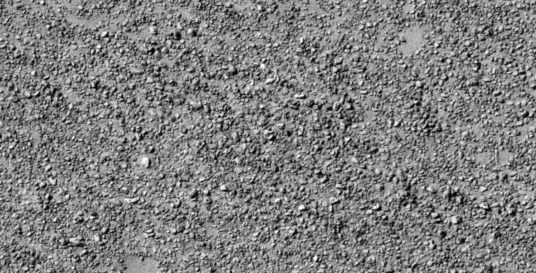
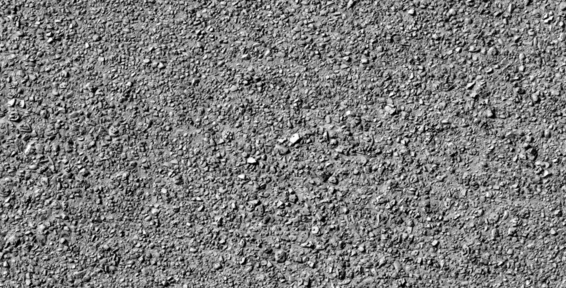
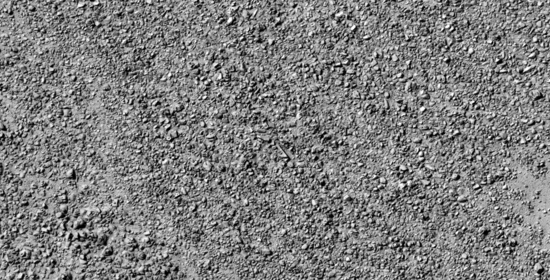
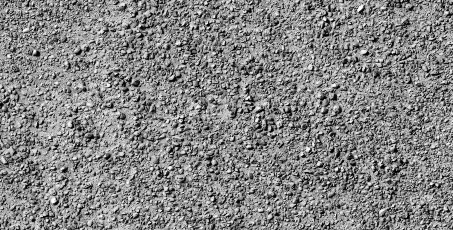
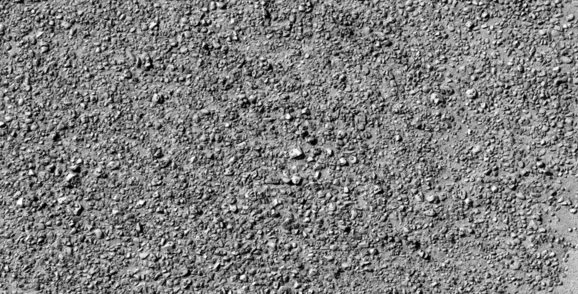
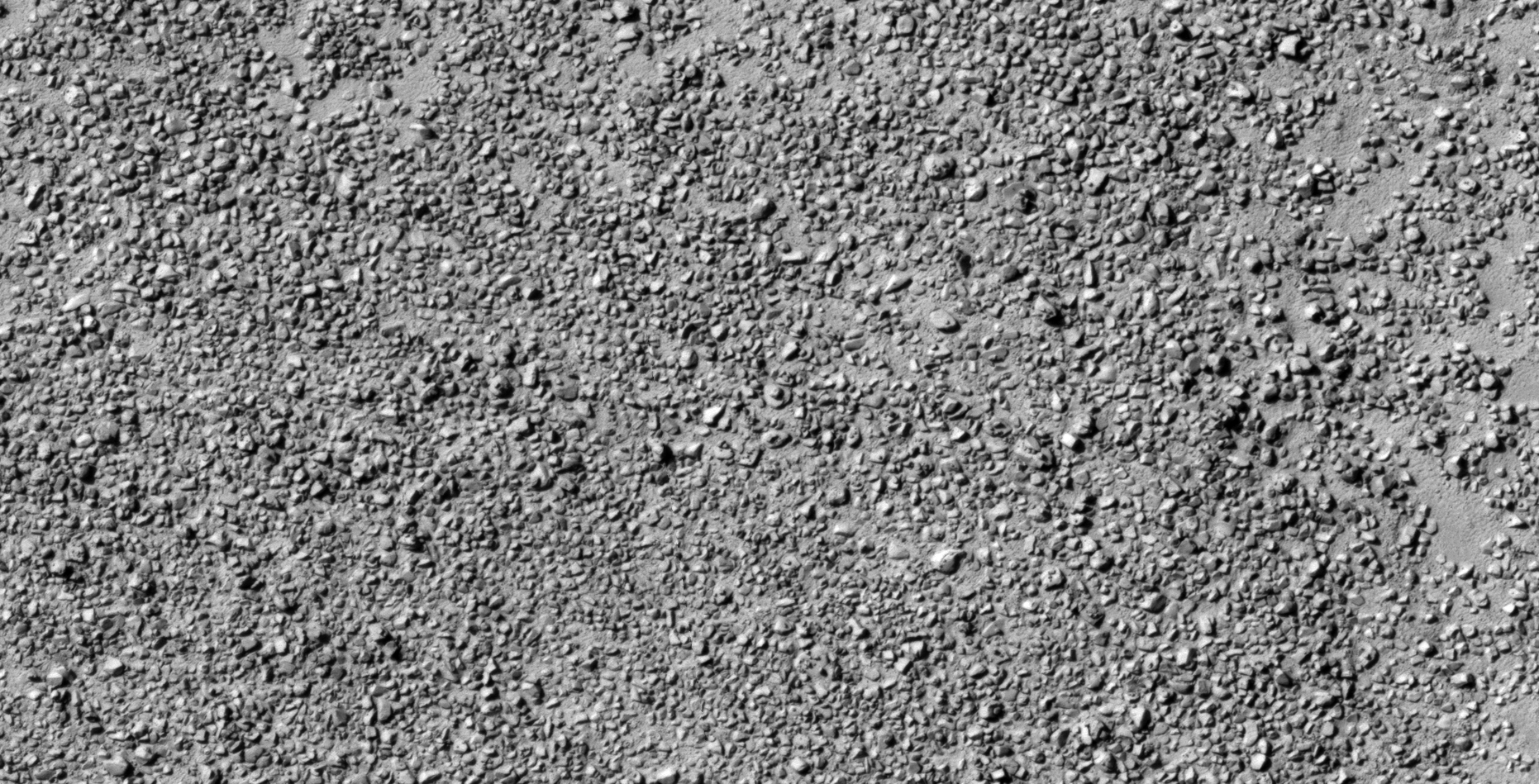
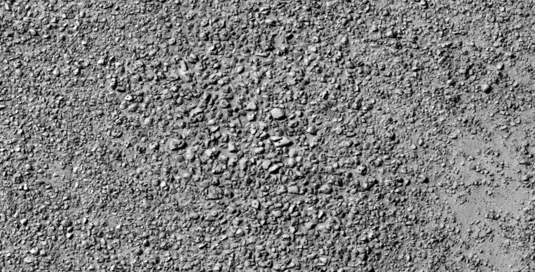
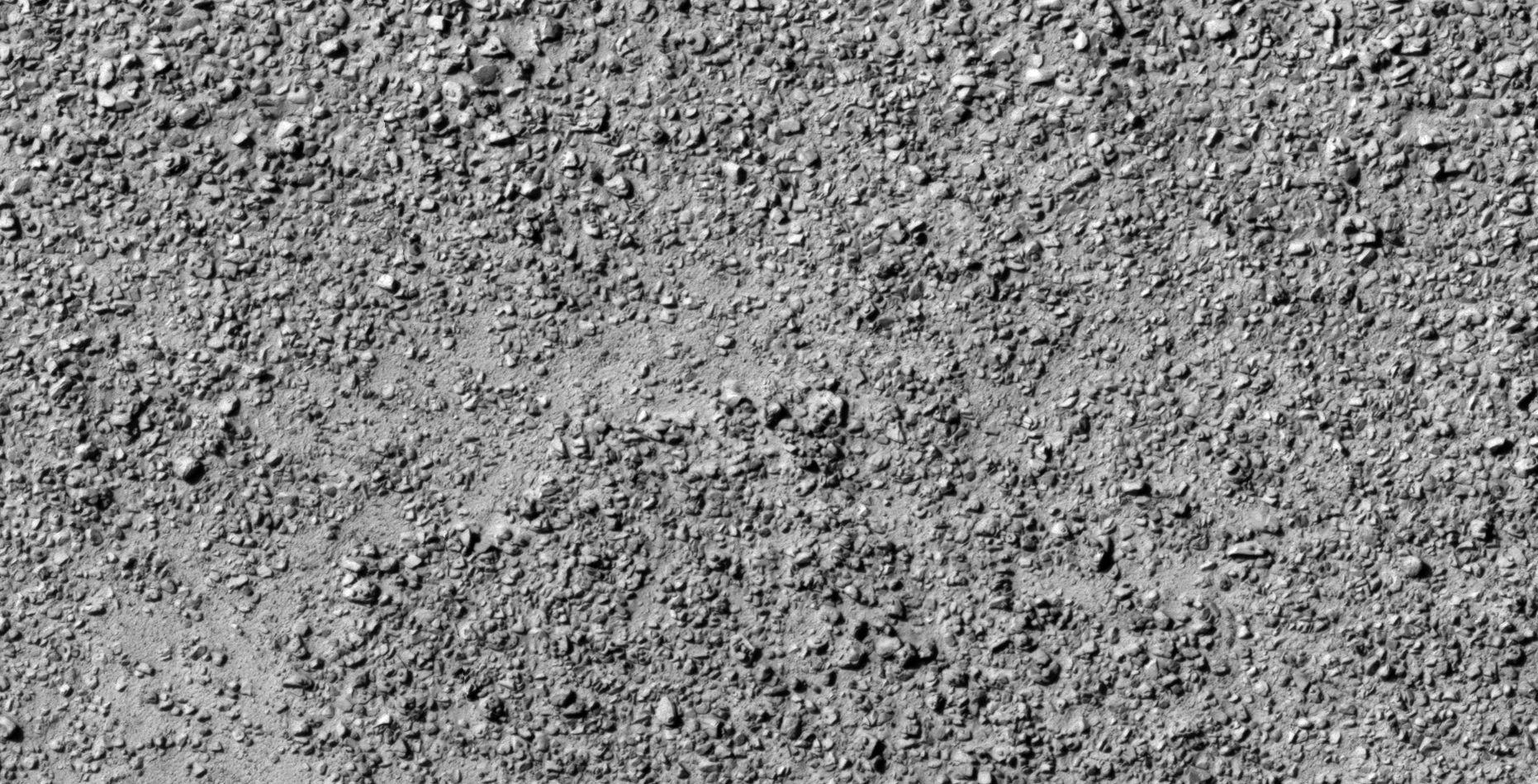
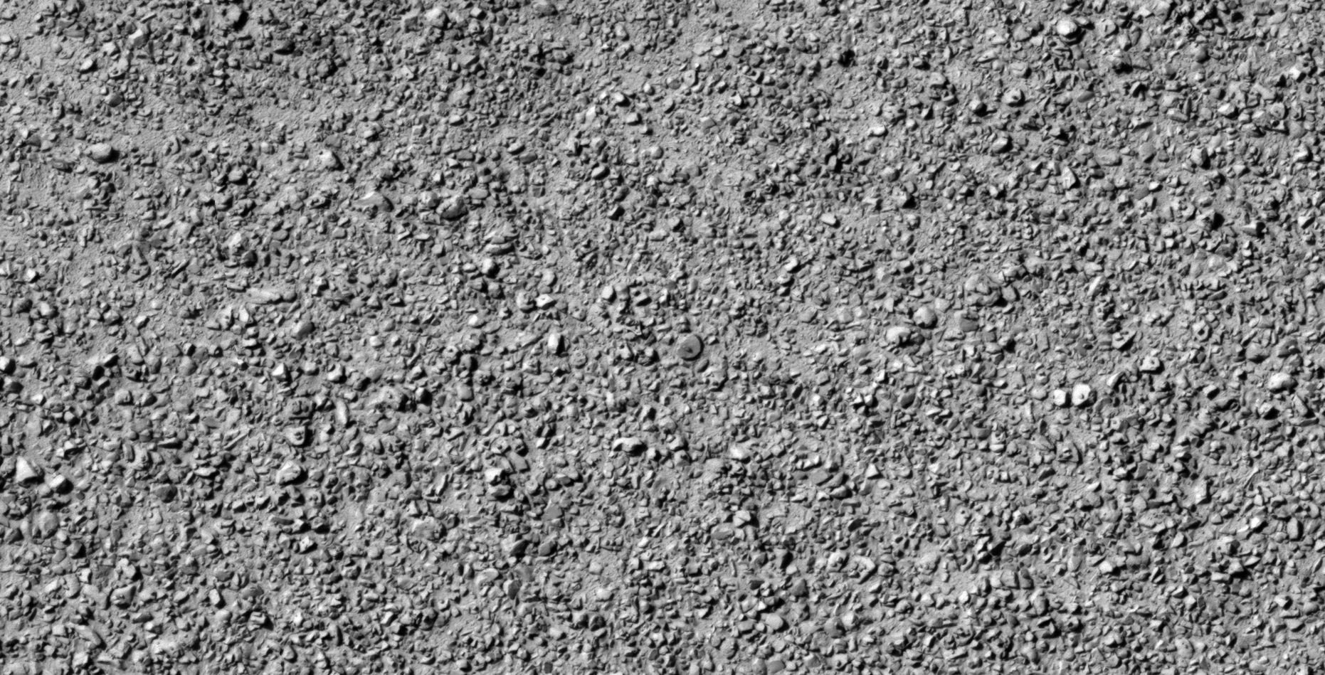
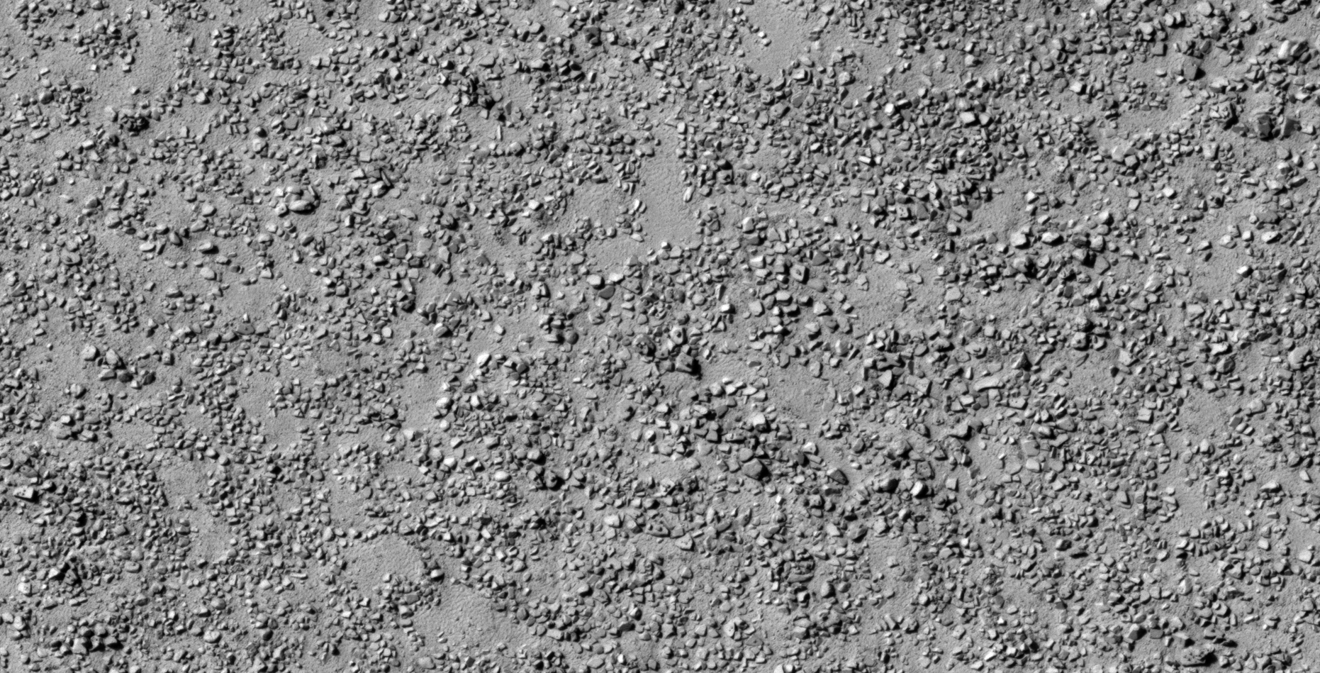
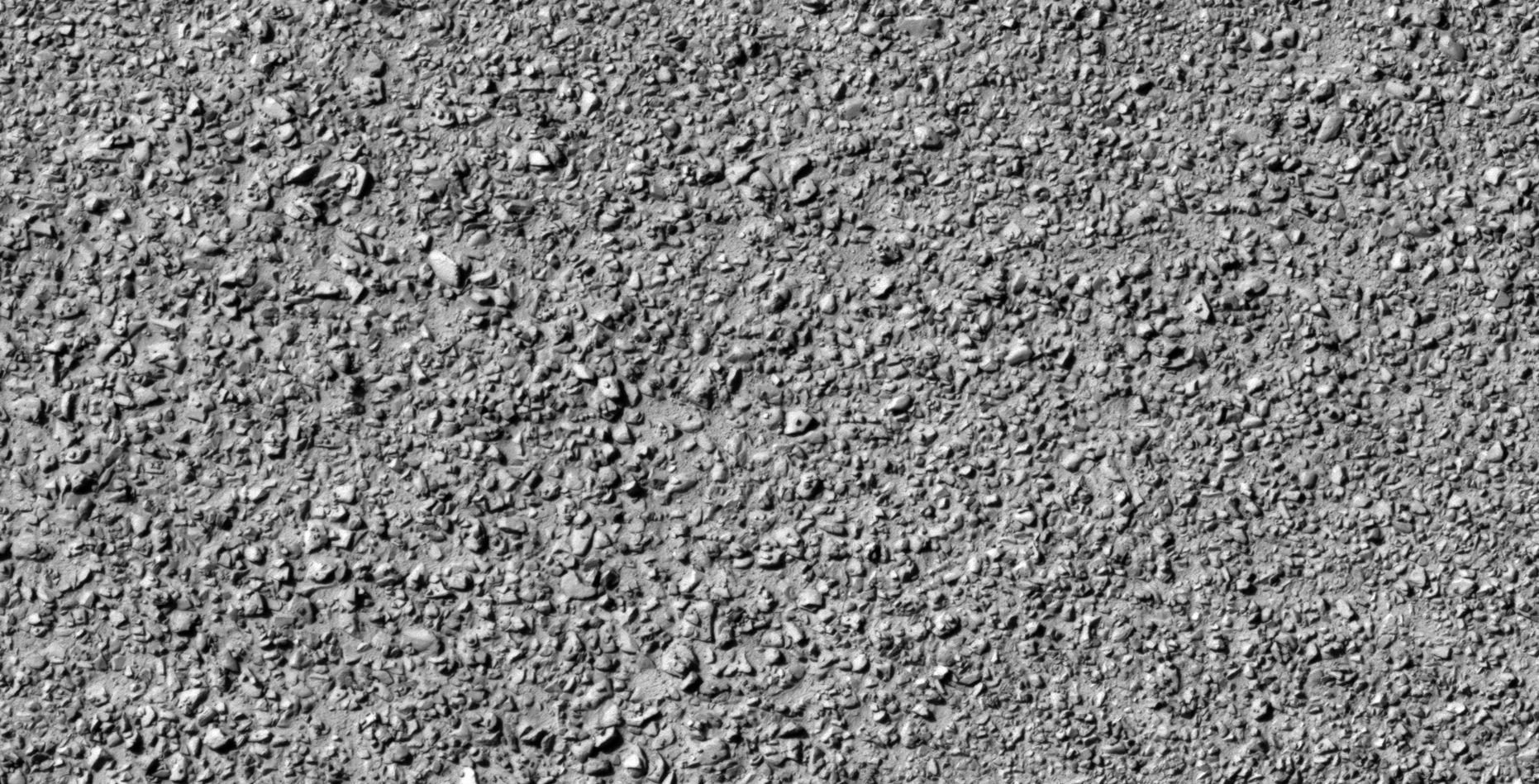
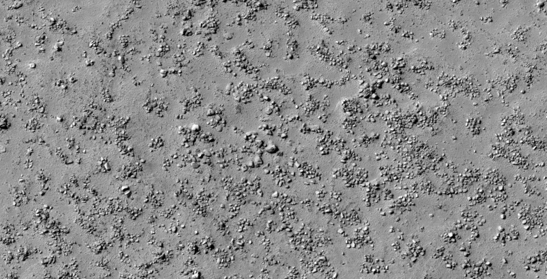
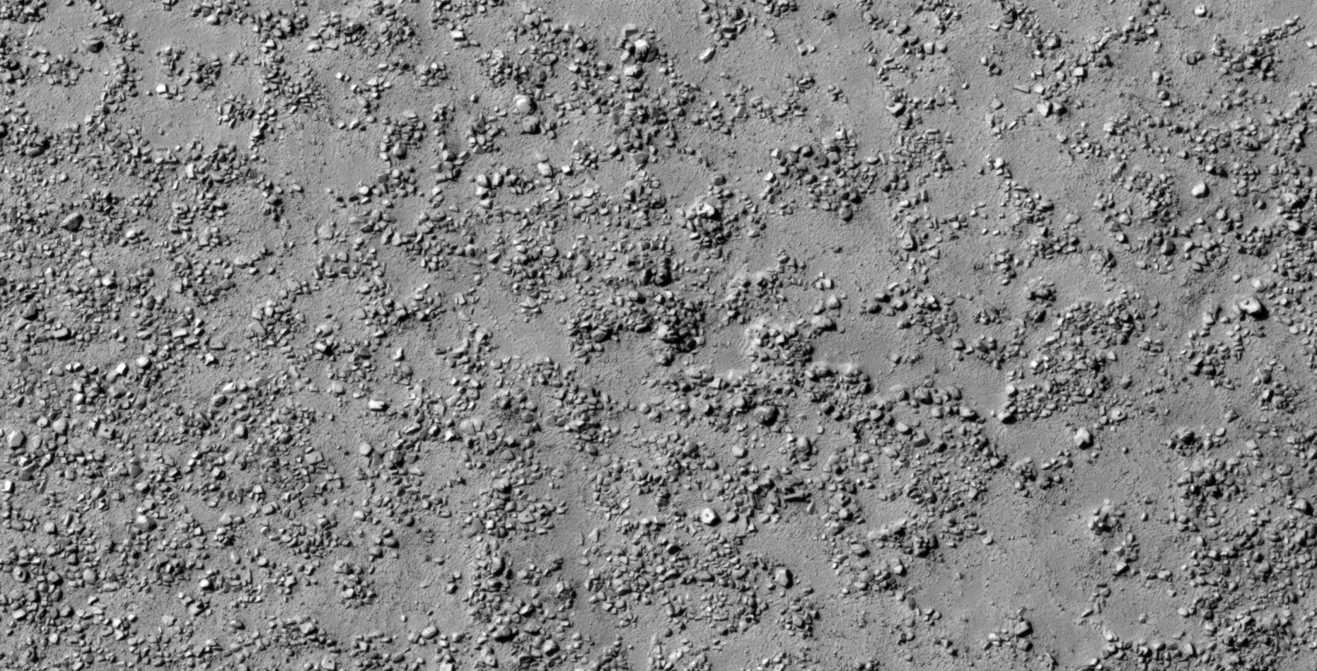
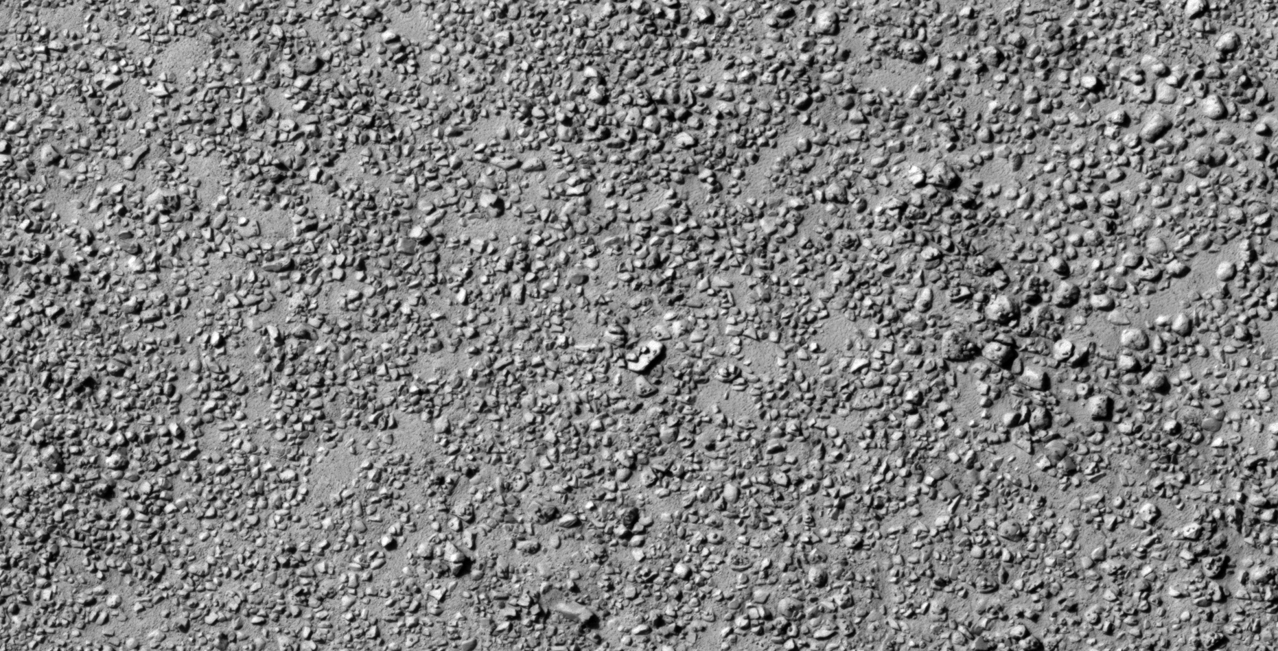
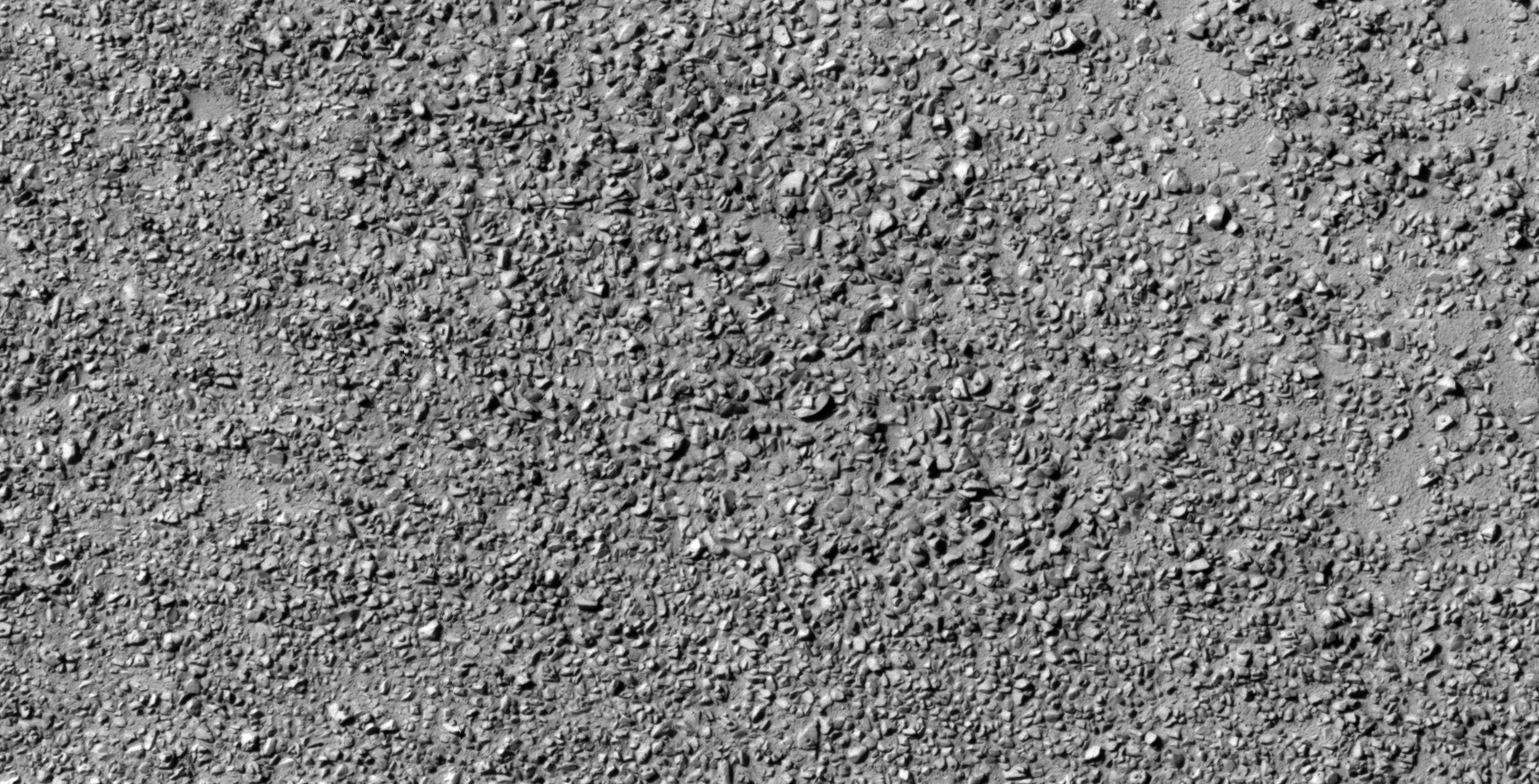
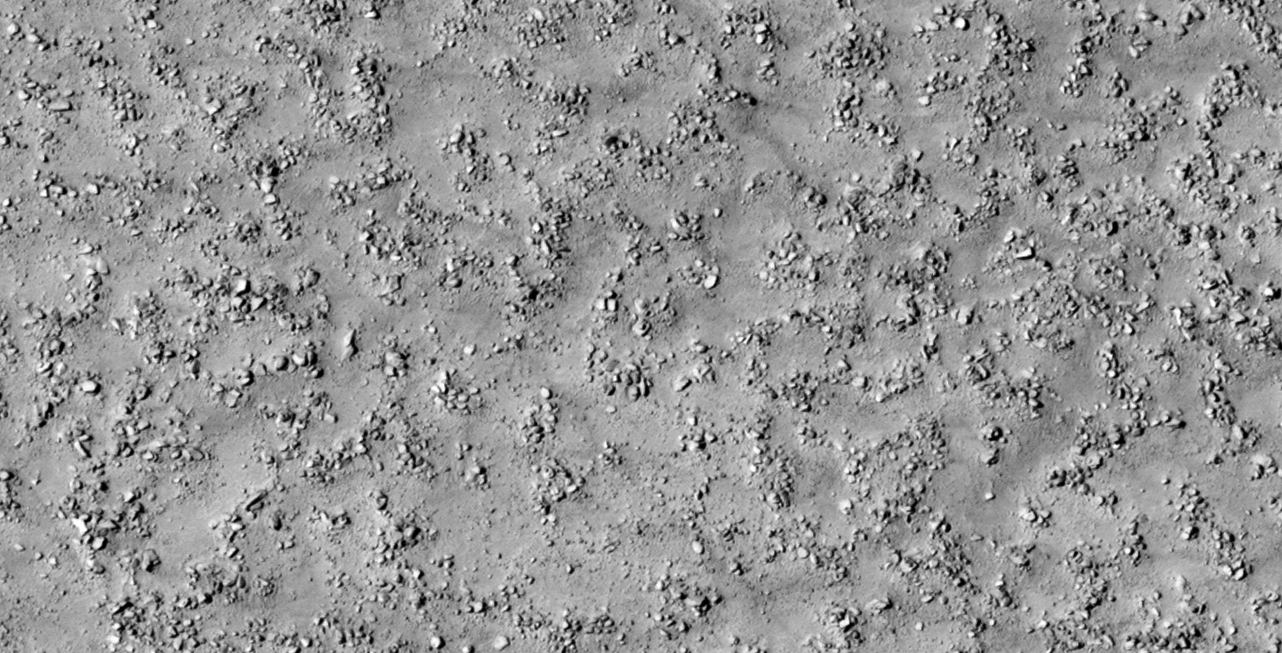
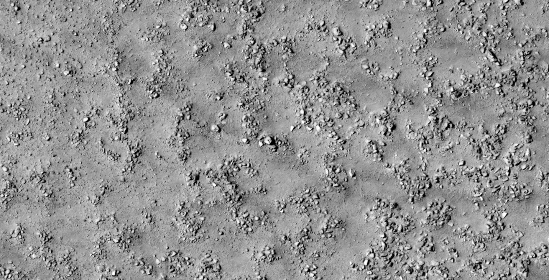
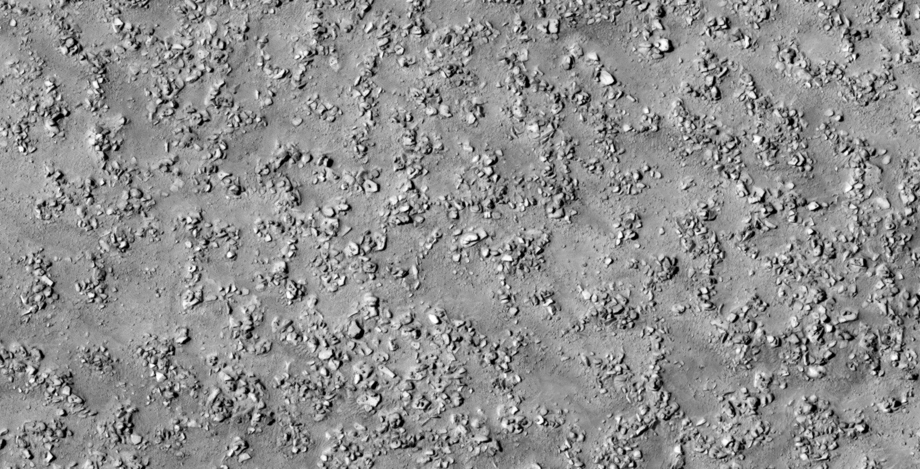
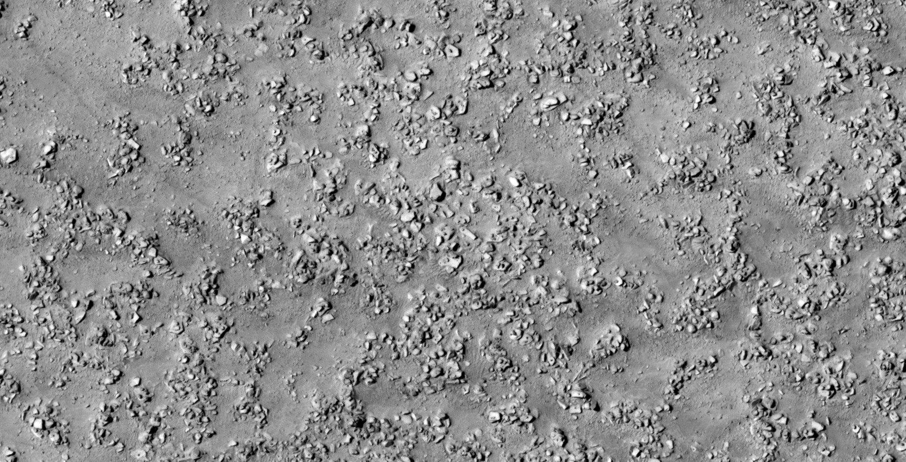
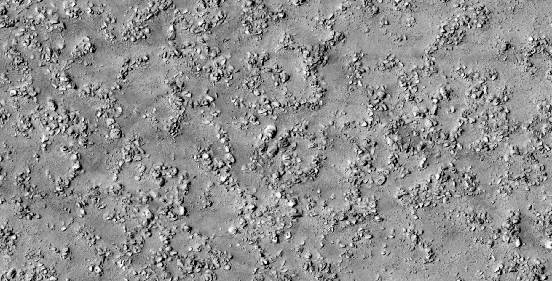
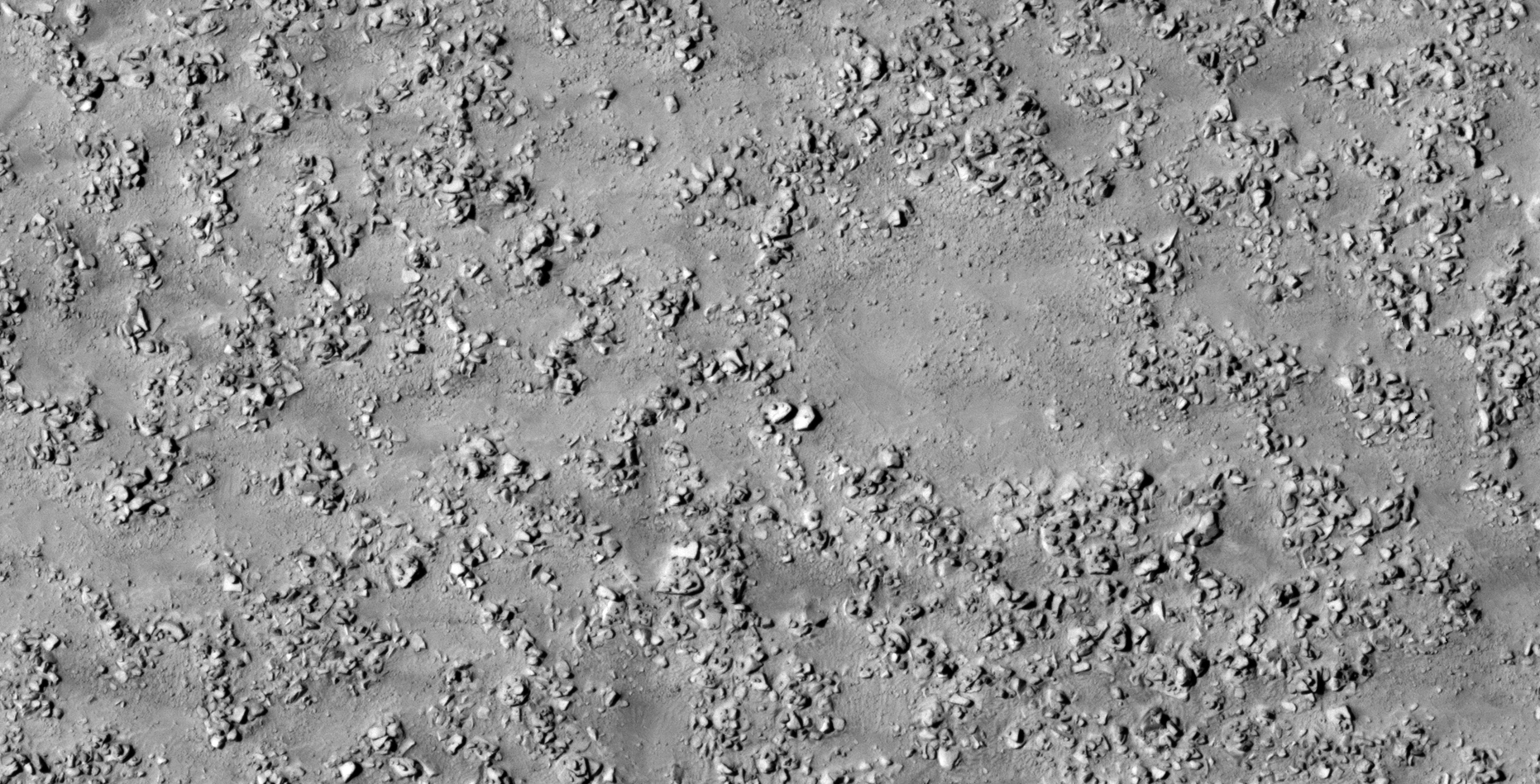
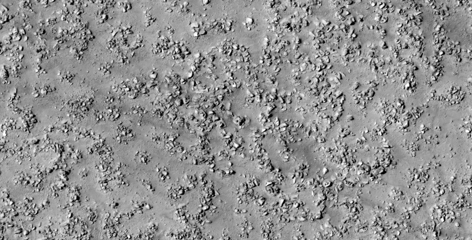
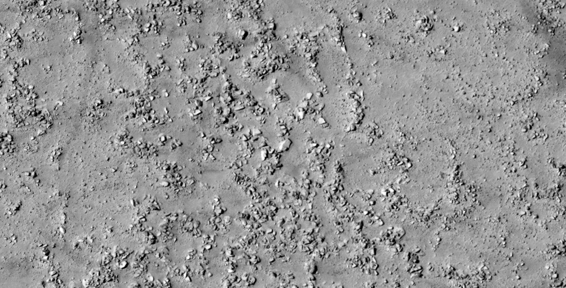
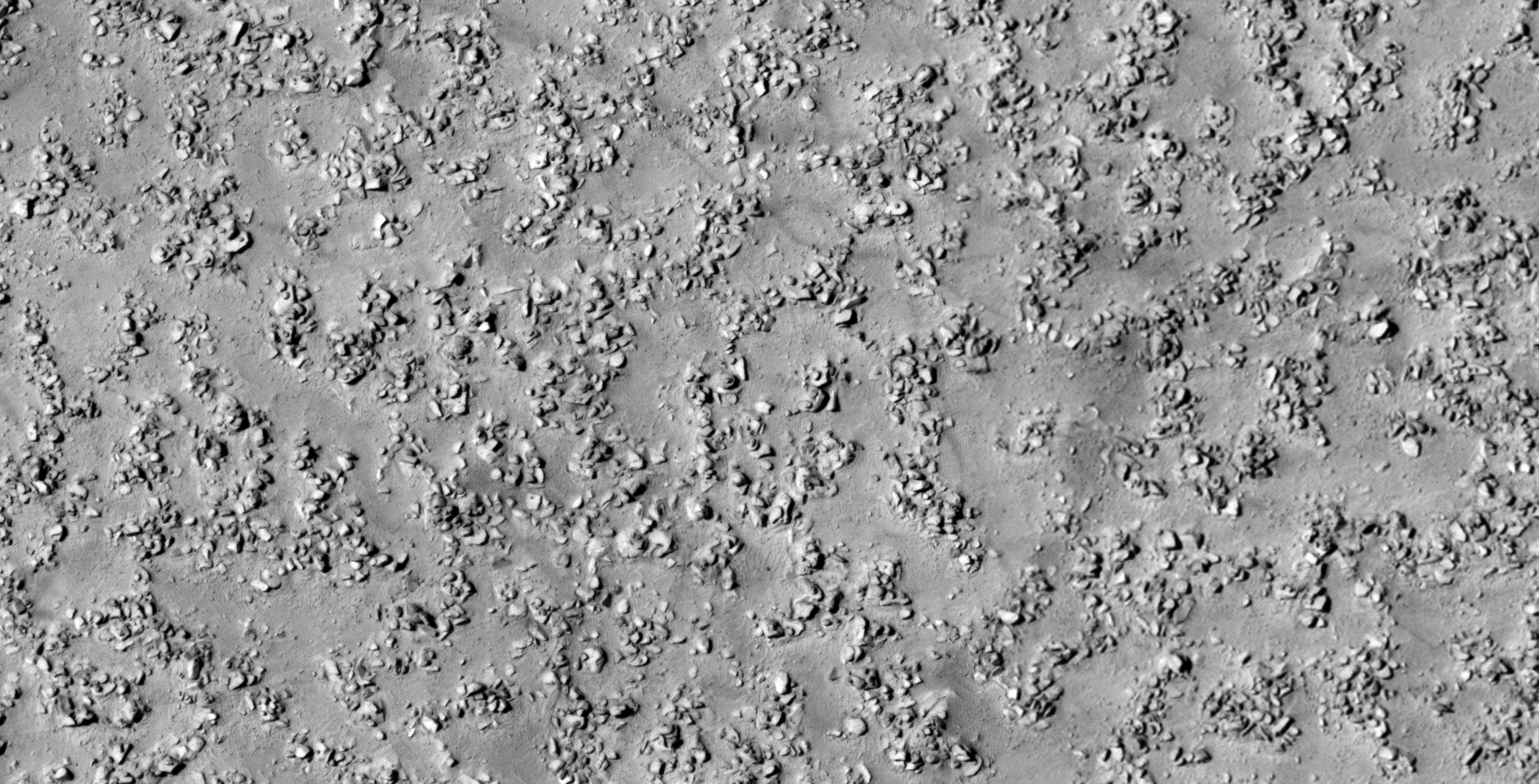
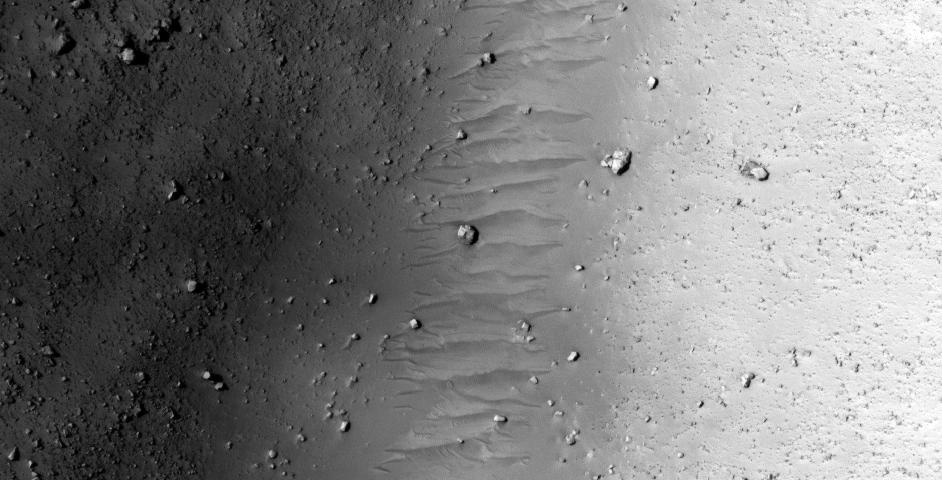
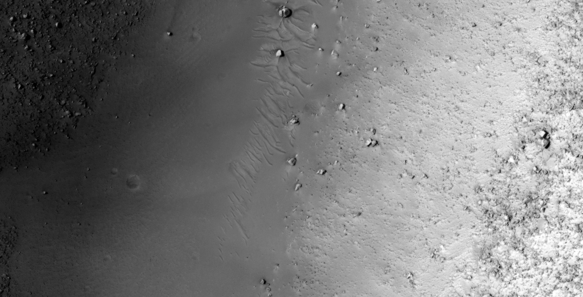
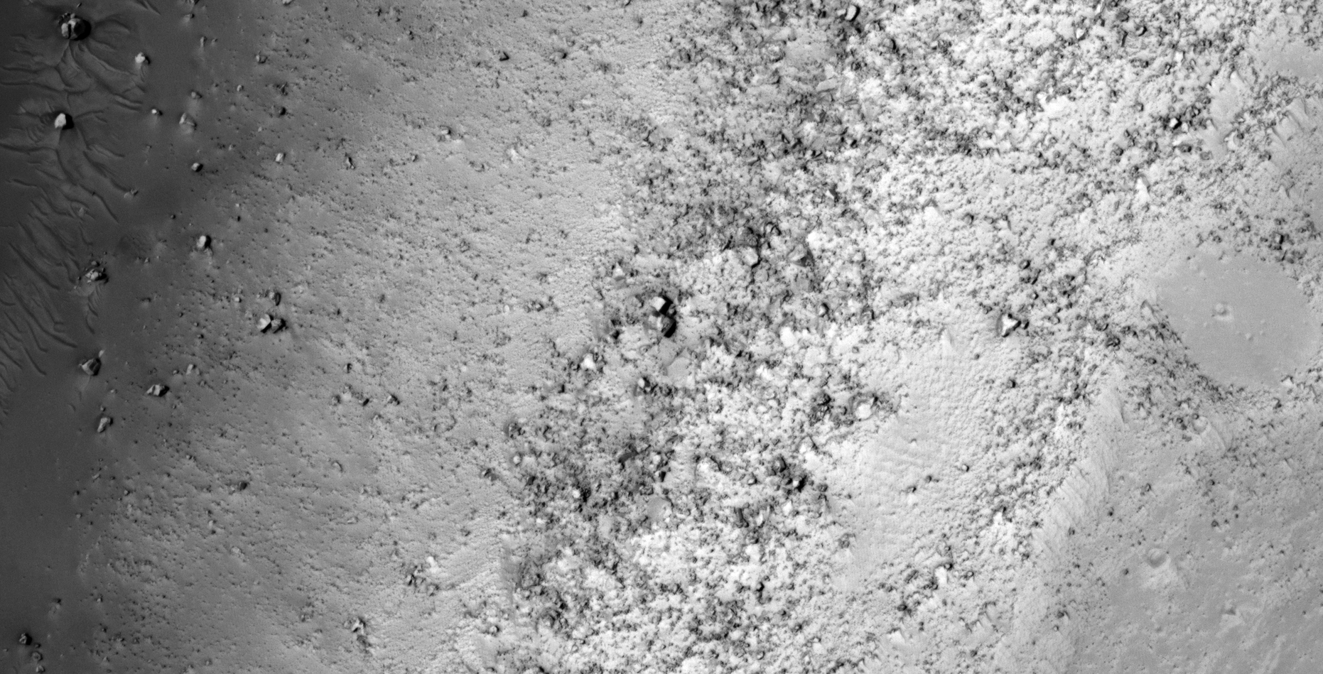
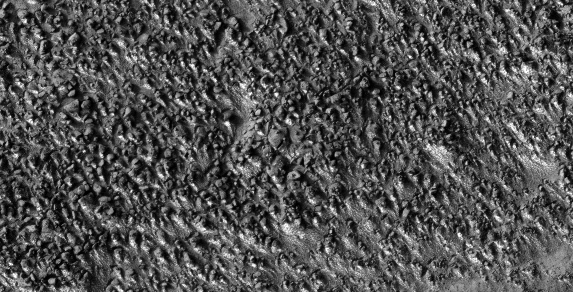
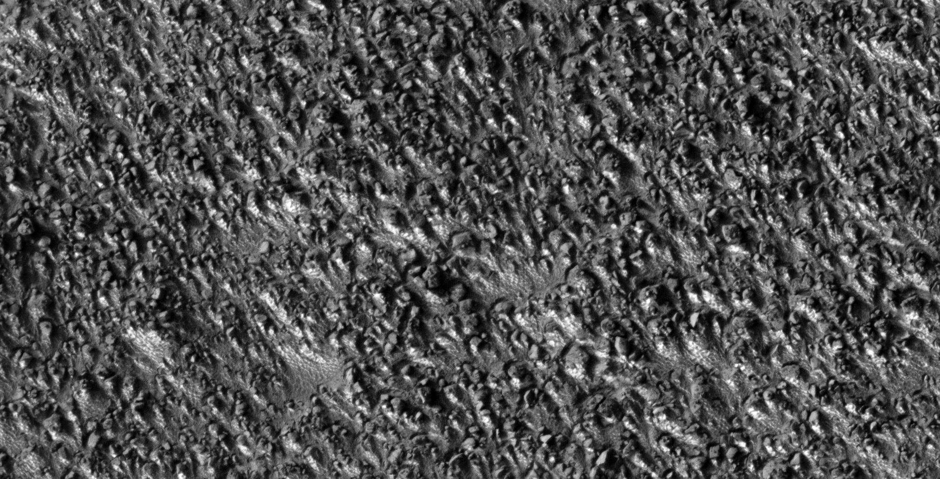
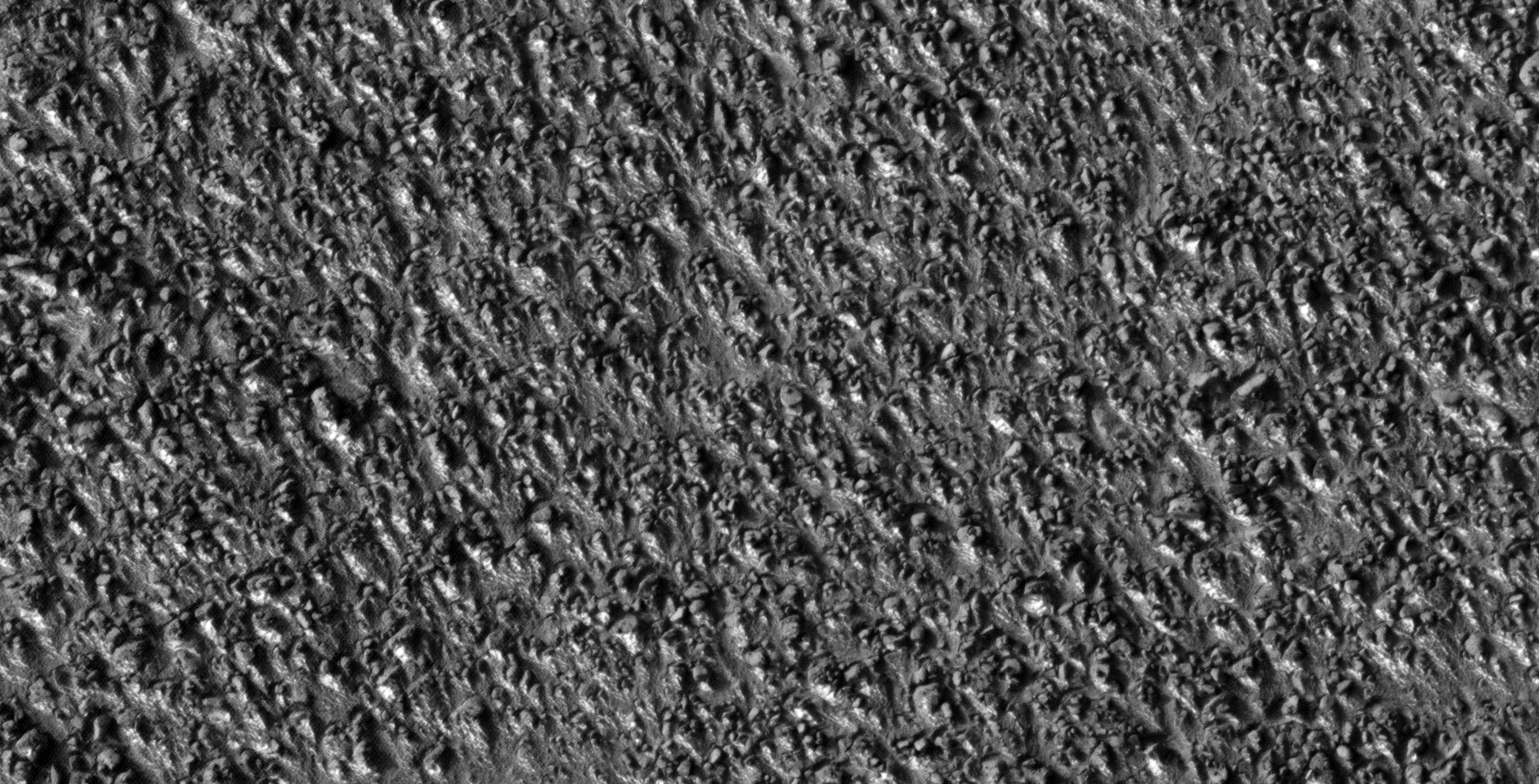
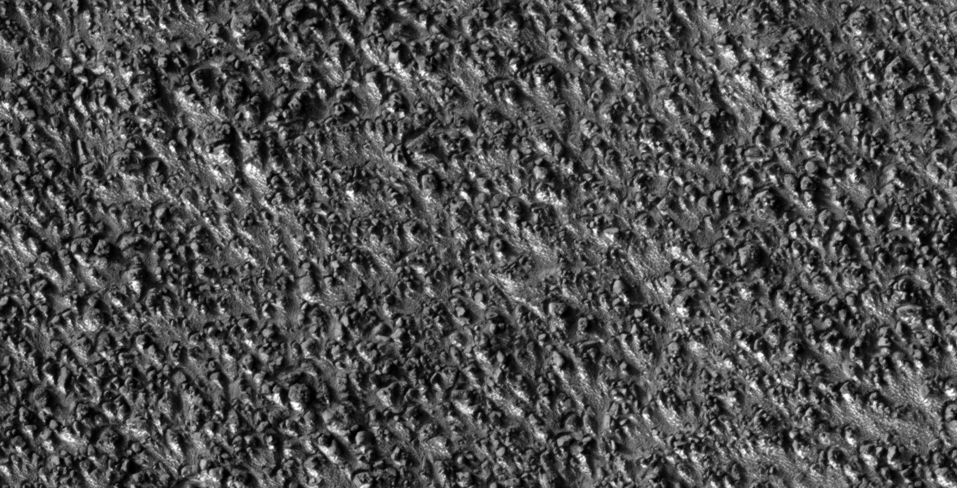
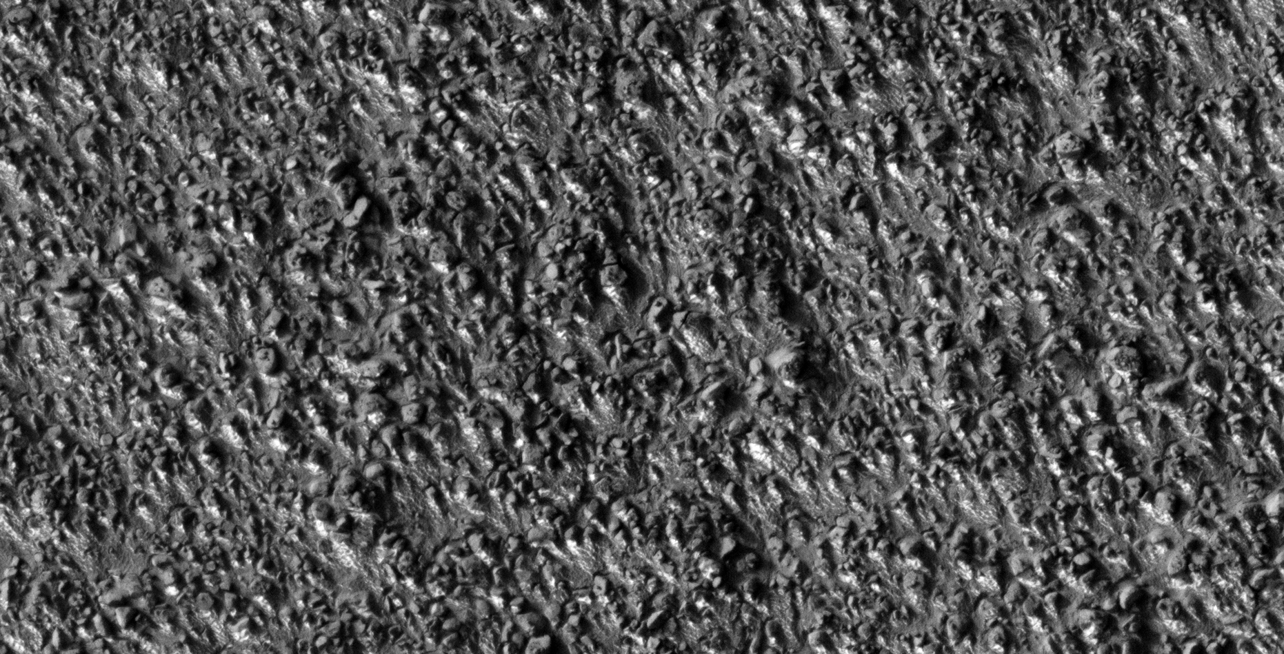
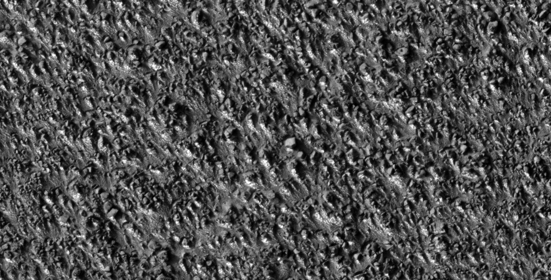
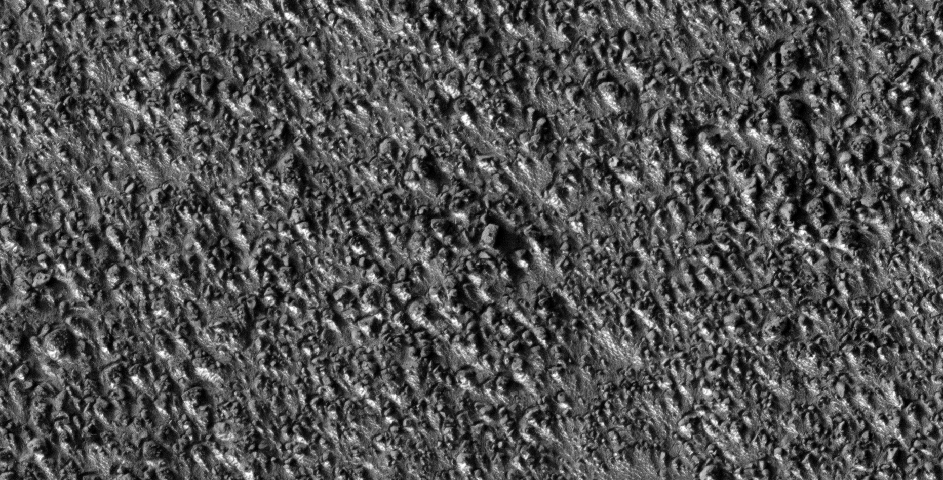
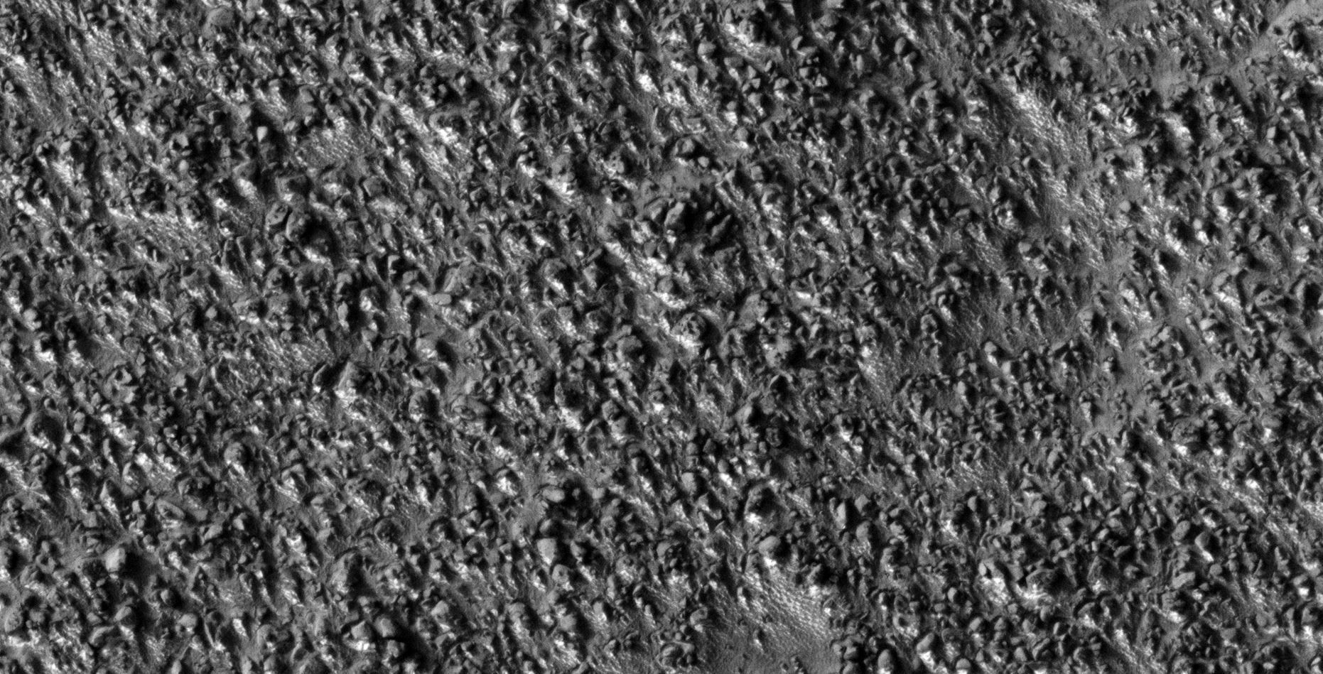
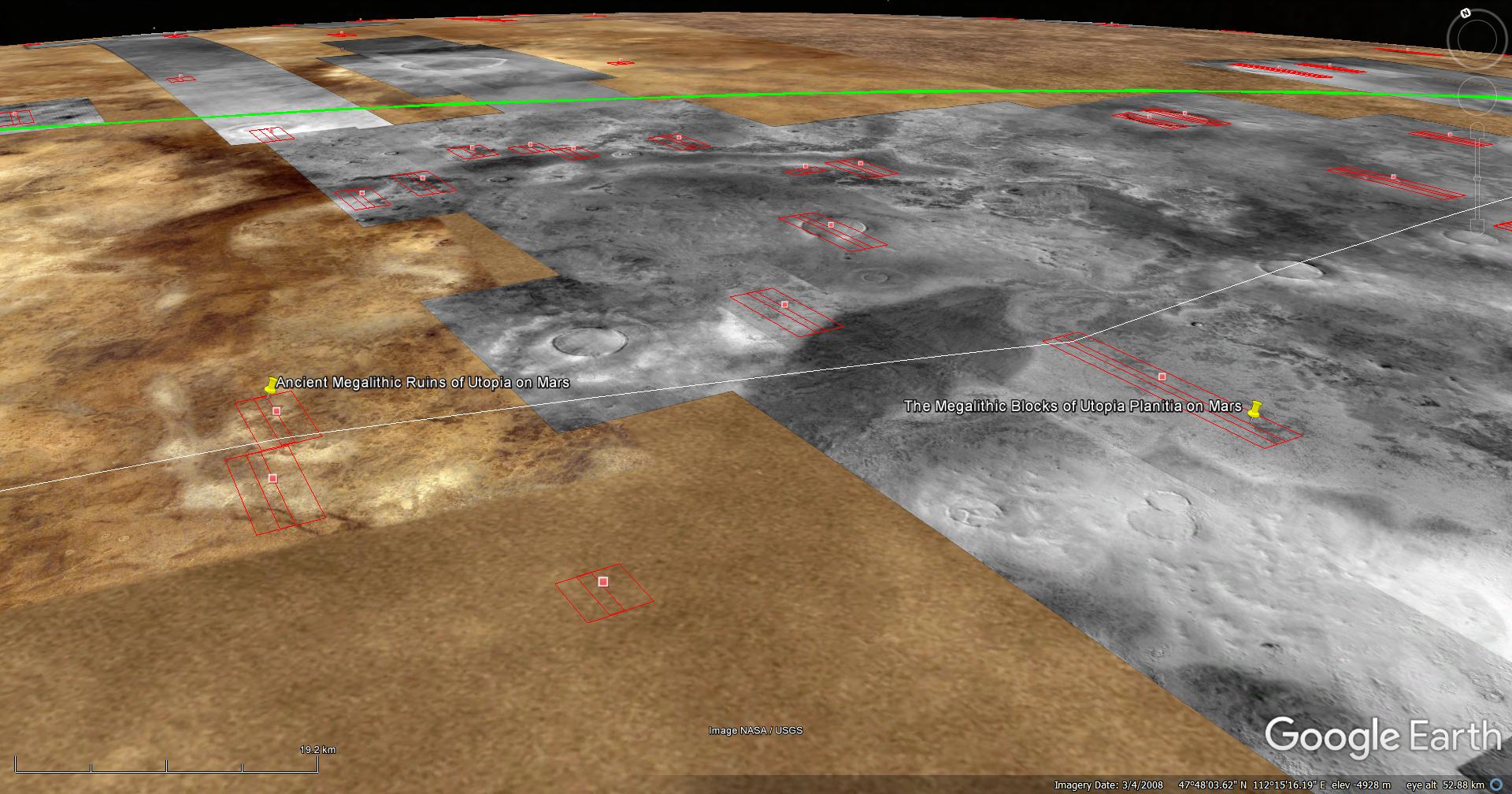
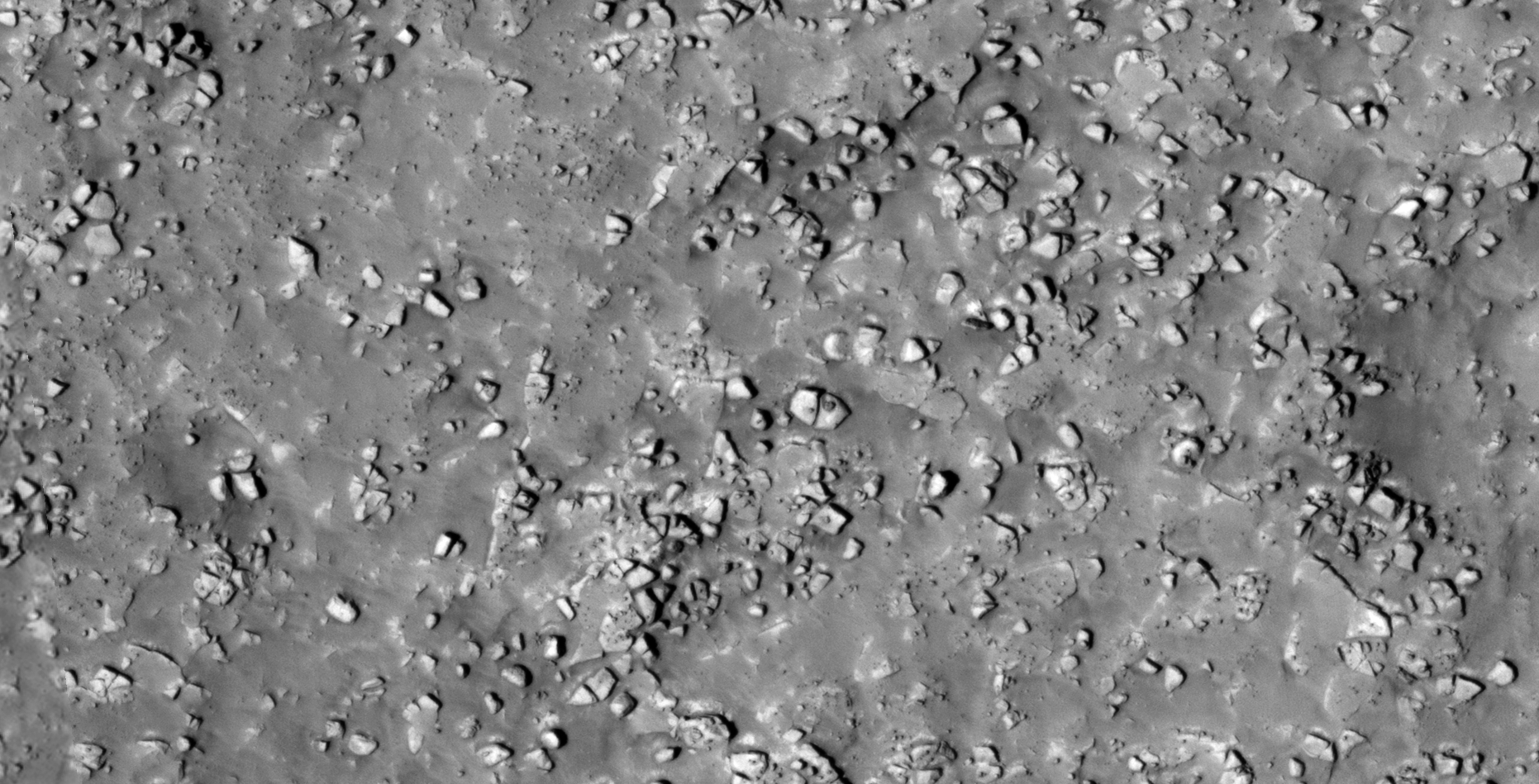
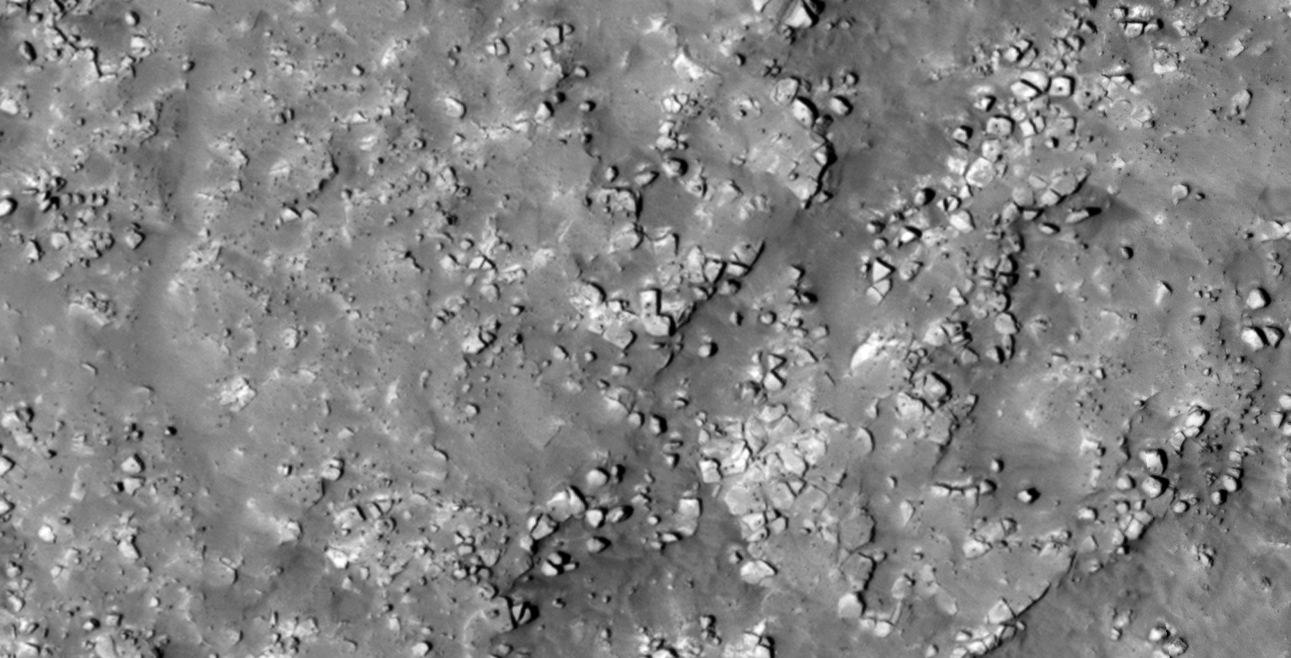
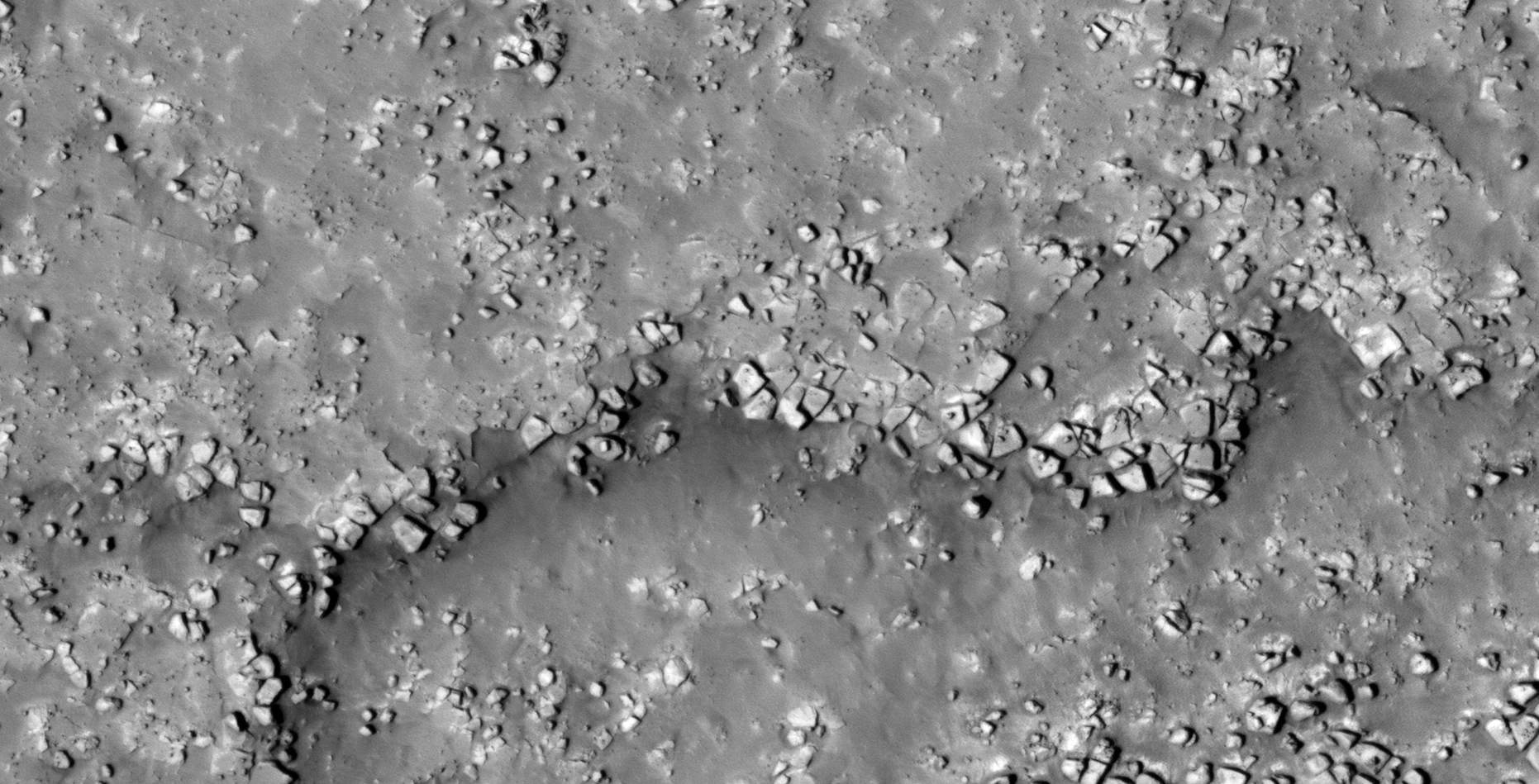
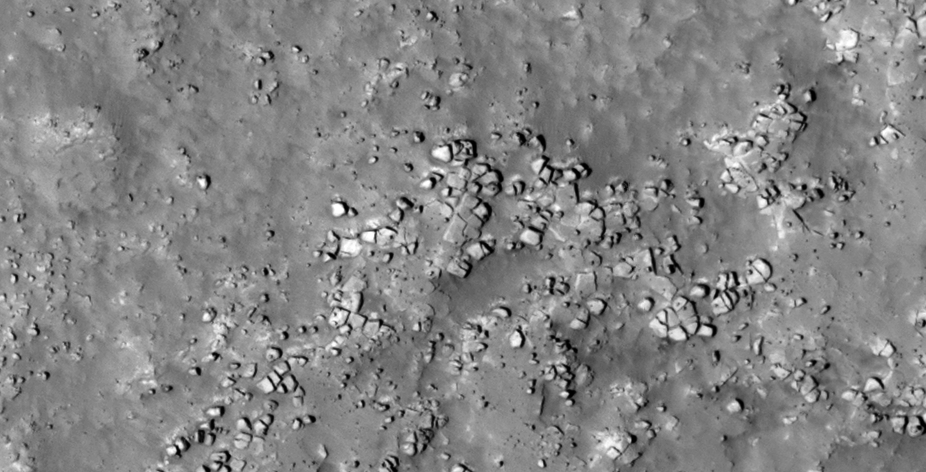
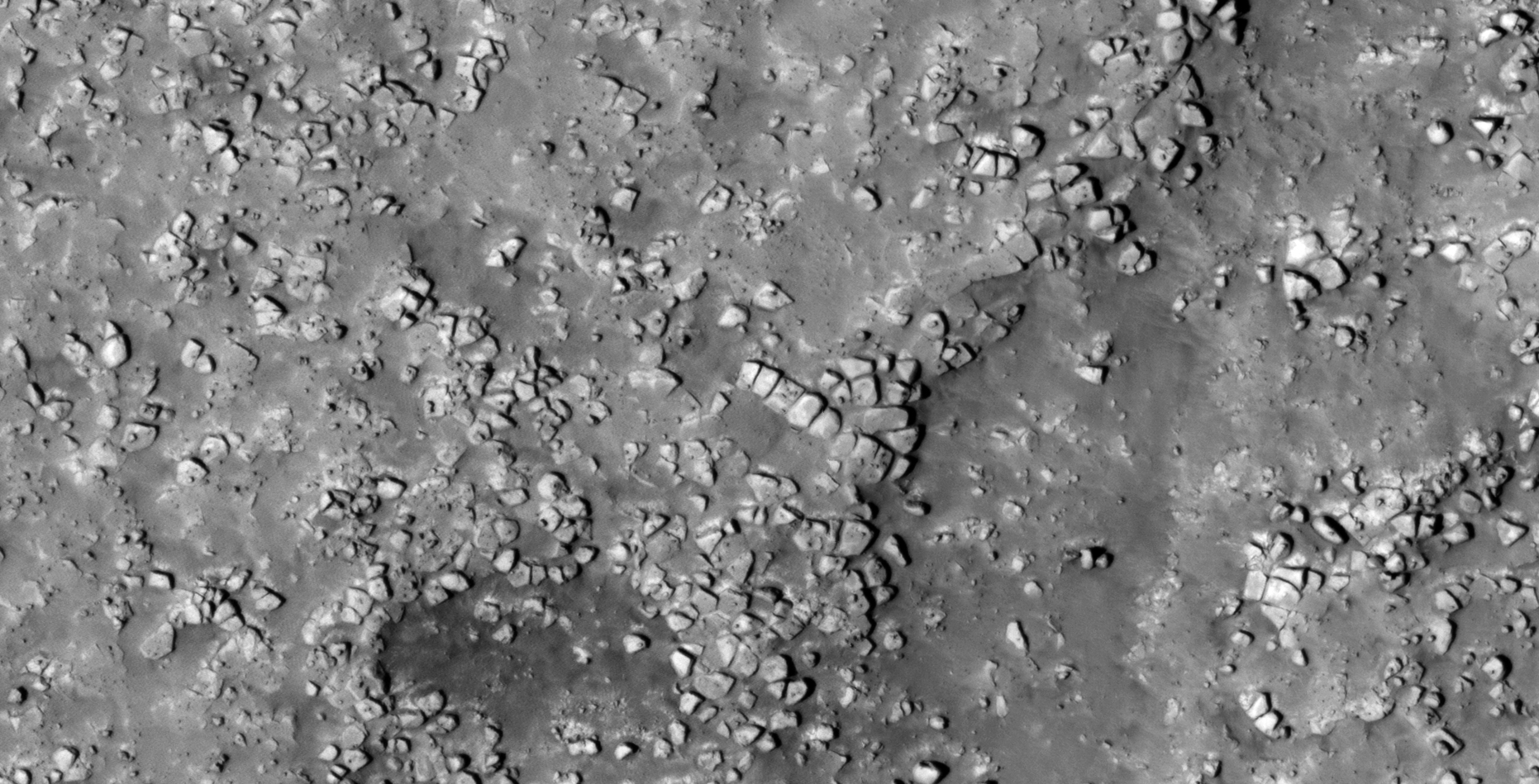
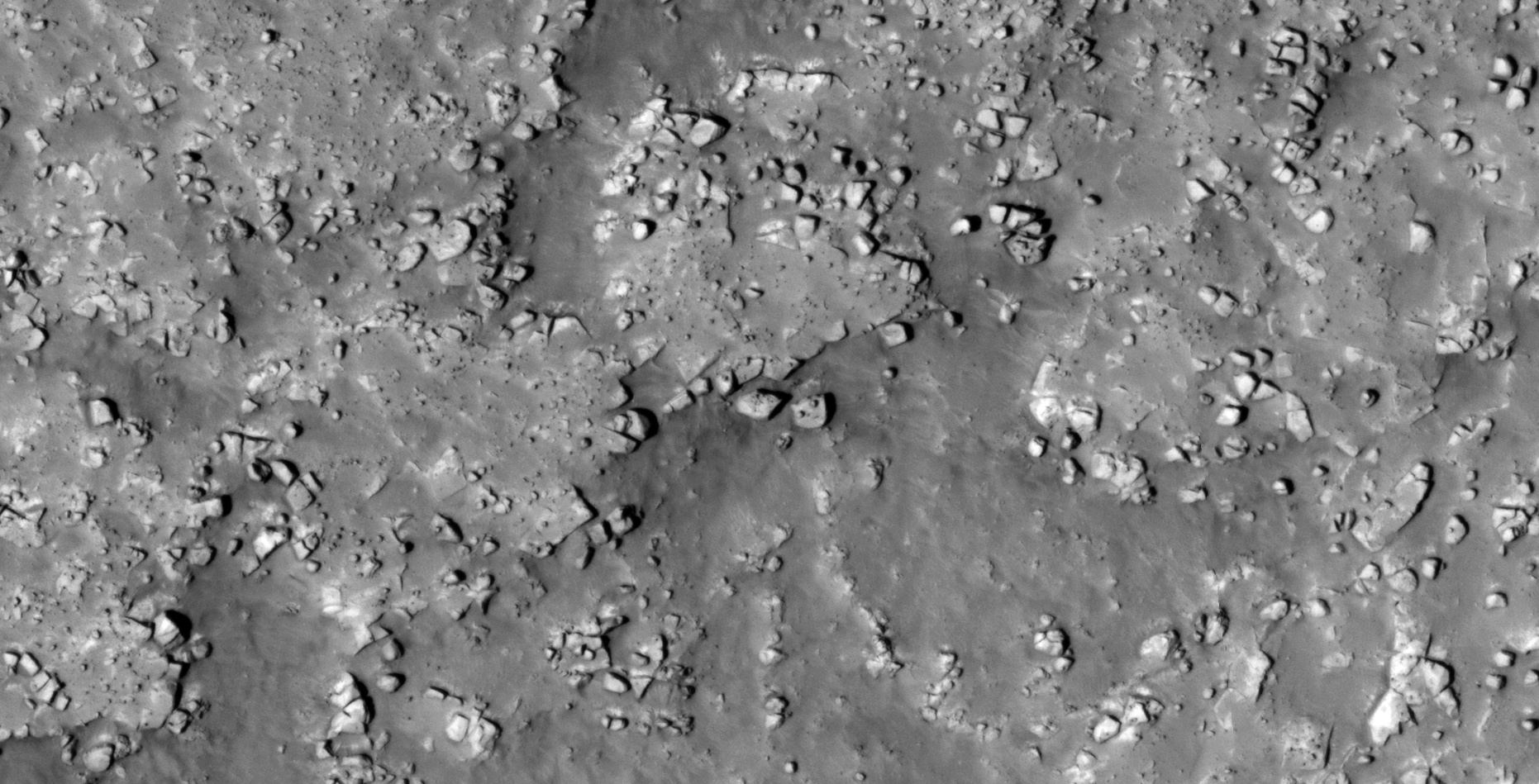
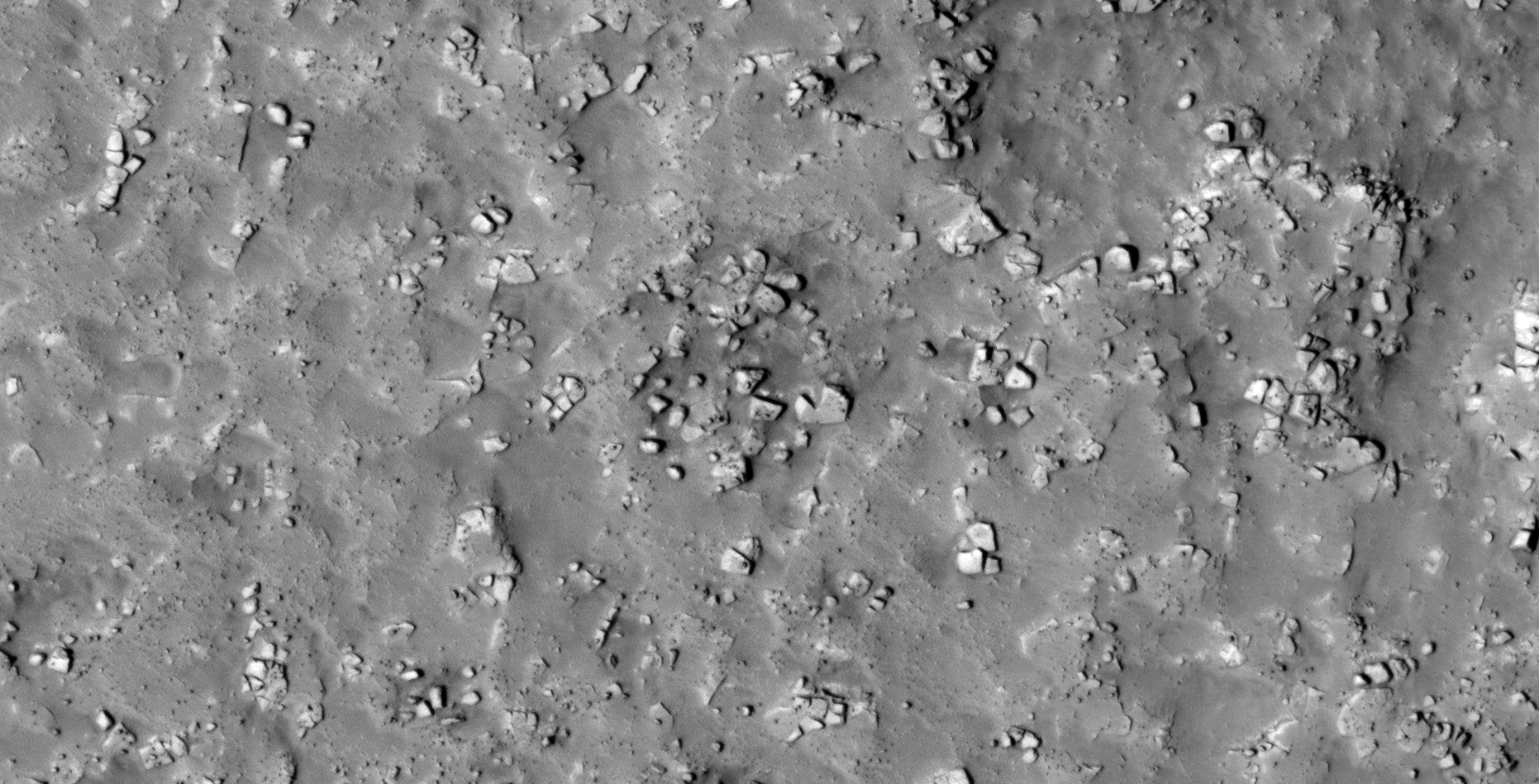
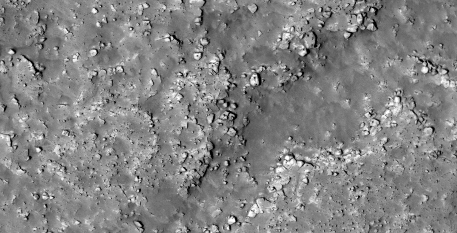
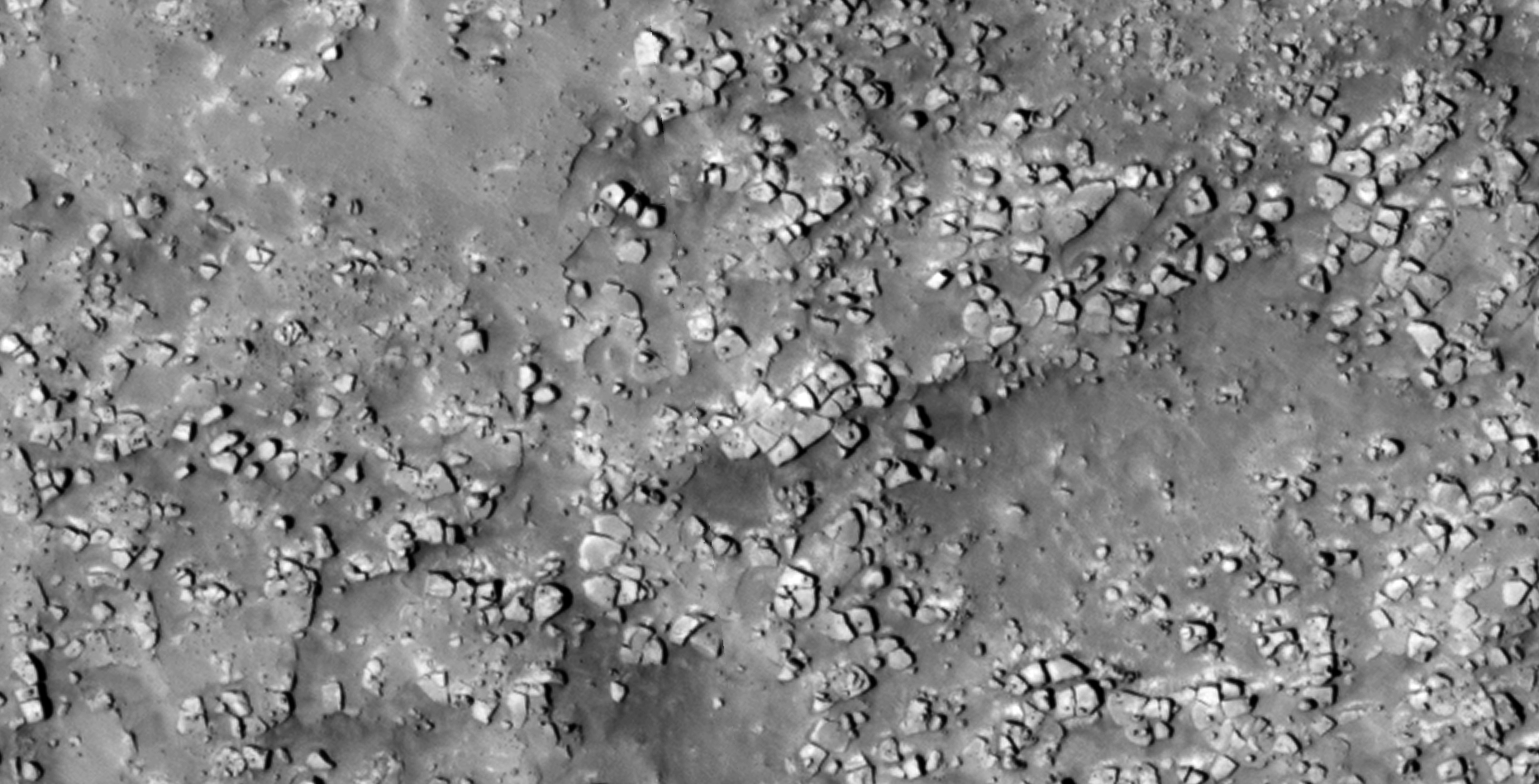
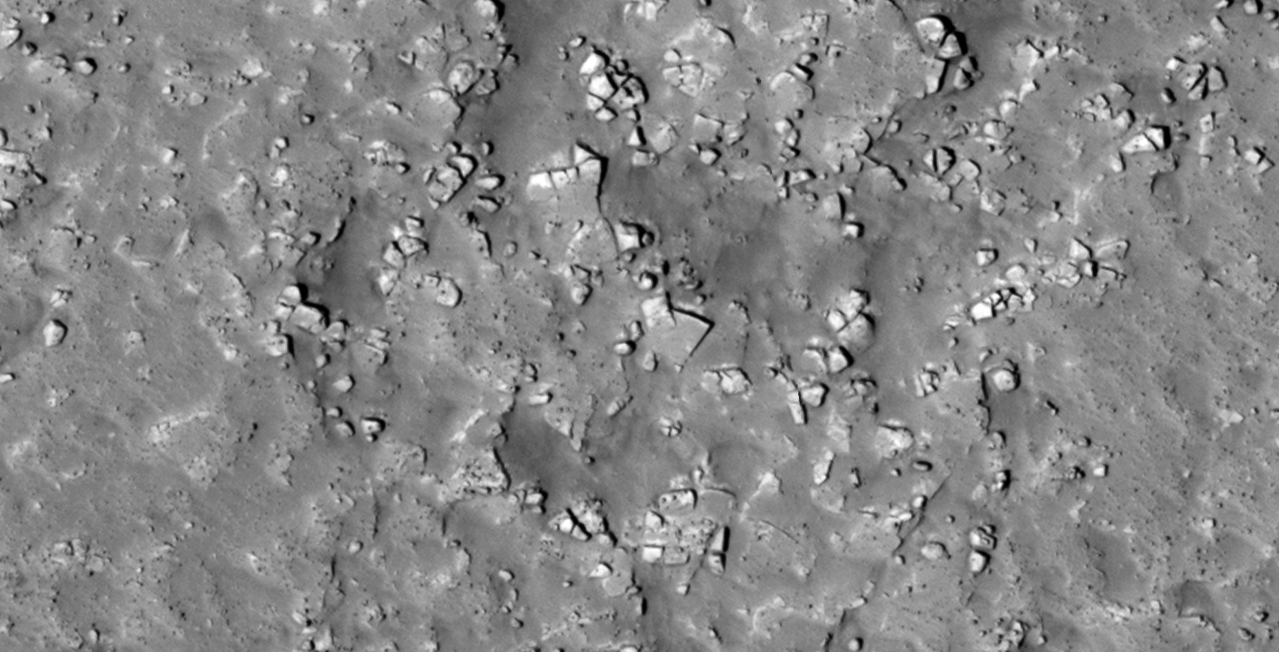
The photograph analyzed here (ESP_026384_2280) was taken by NASA’s Mars Reconnaissance Orbiter on 13 March 2012 and is described as ‘Bedrock or Duricrust Patch in Utopia Planitia.’
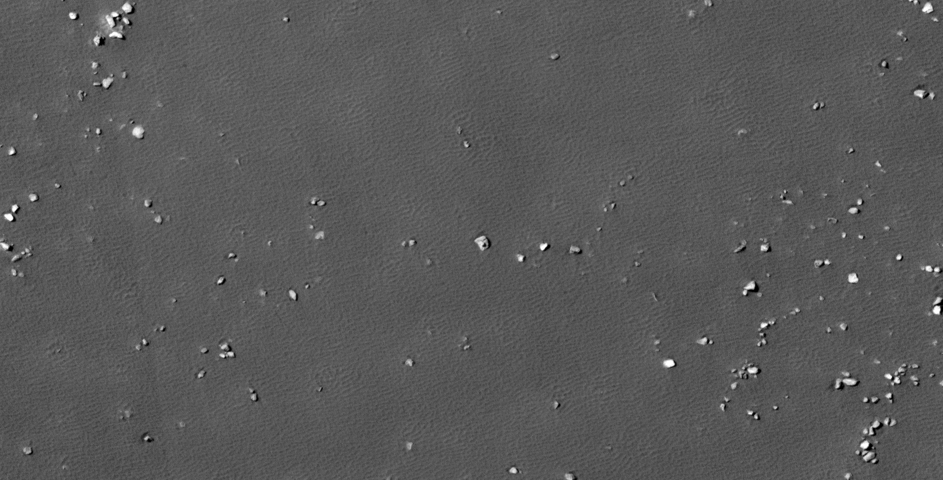
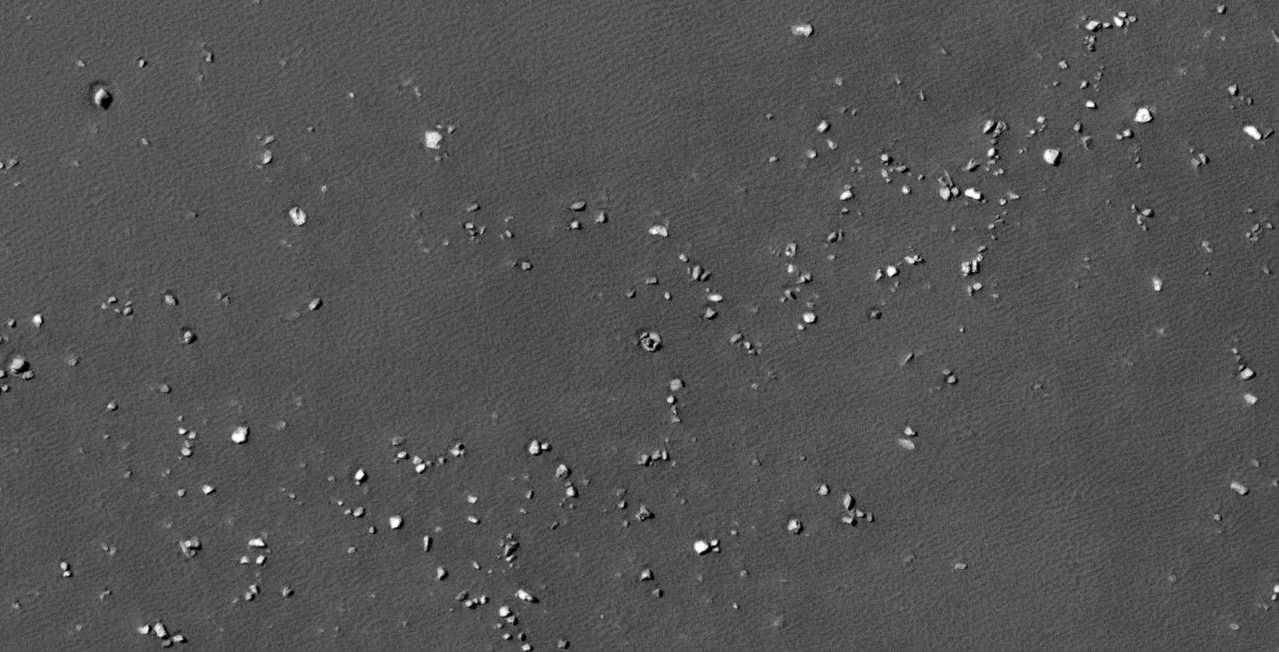
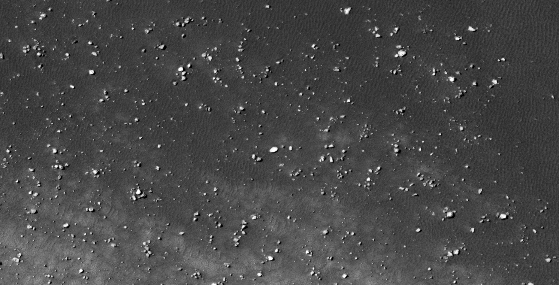
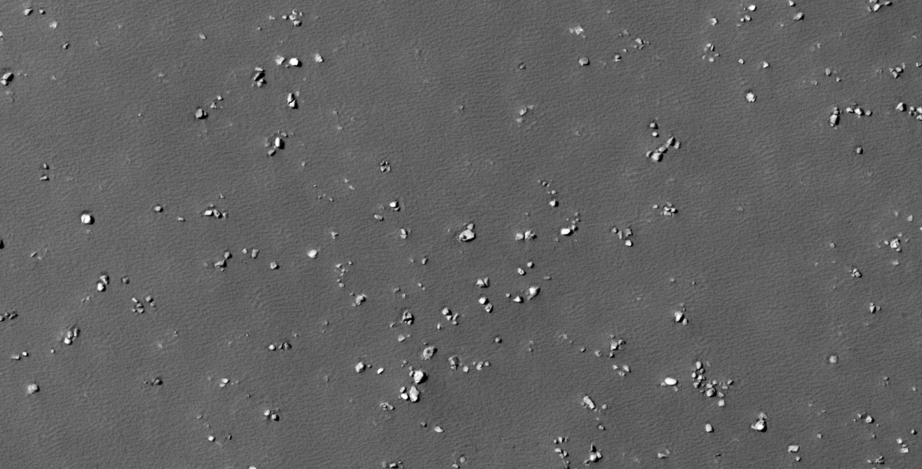
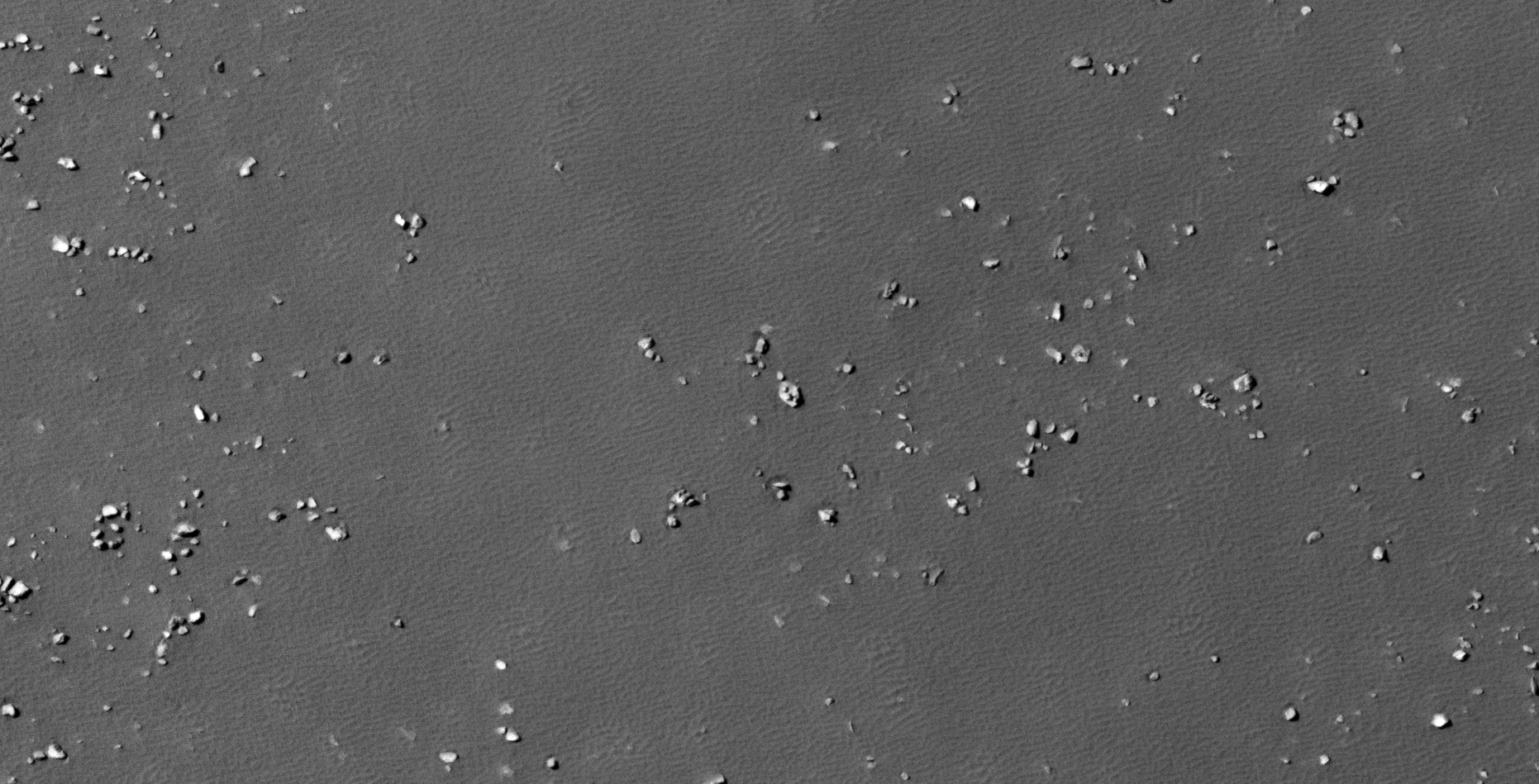
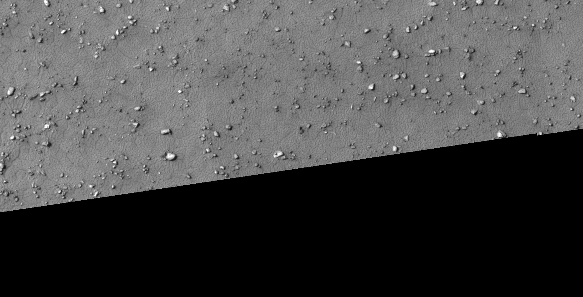
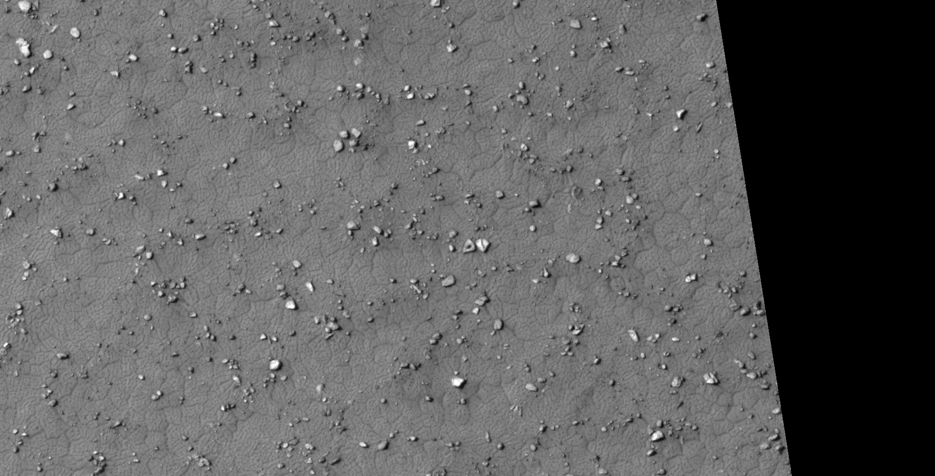
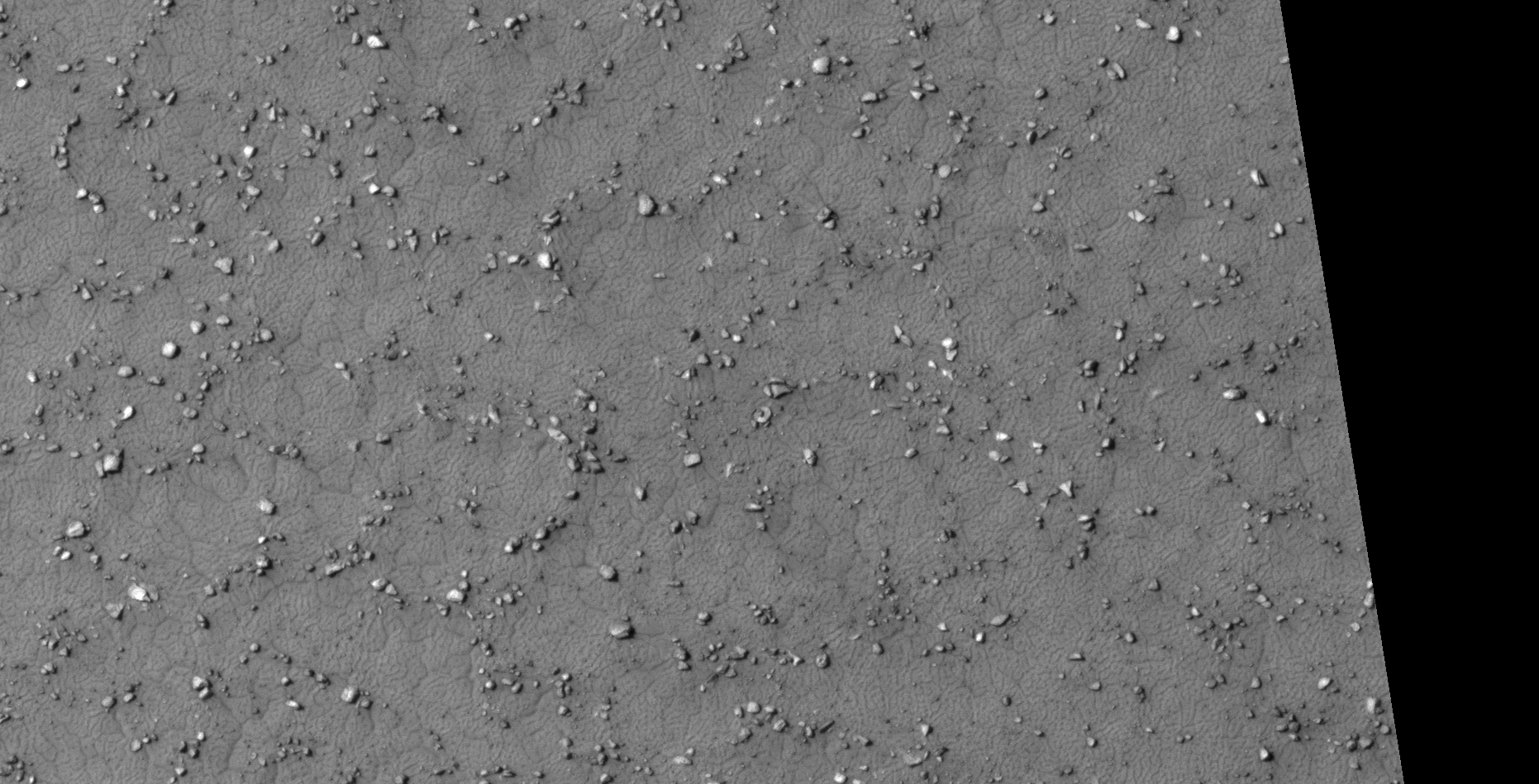
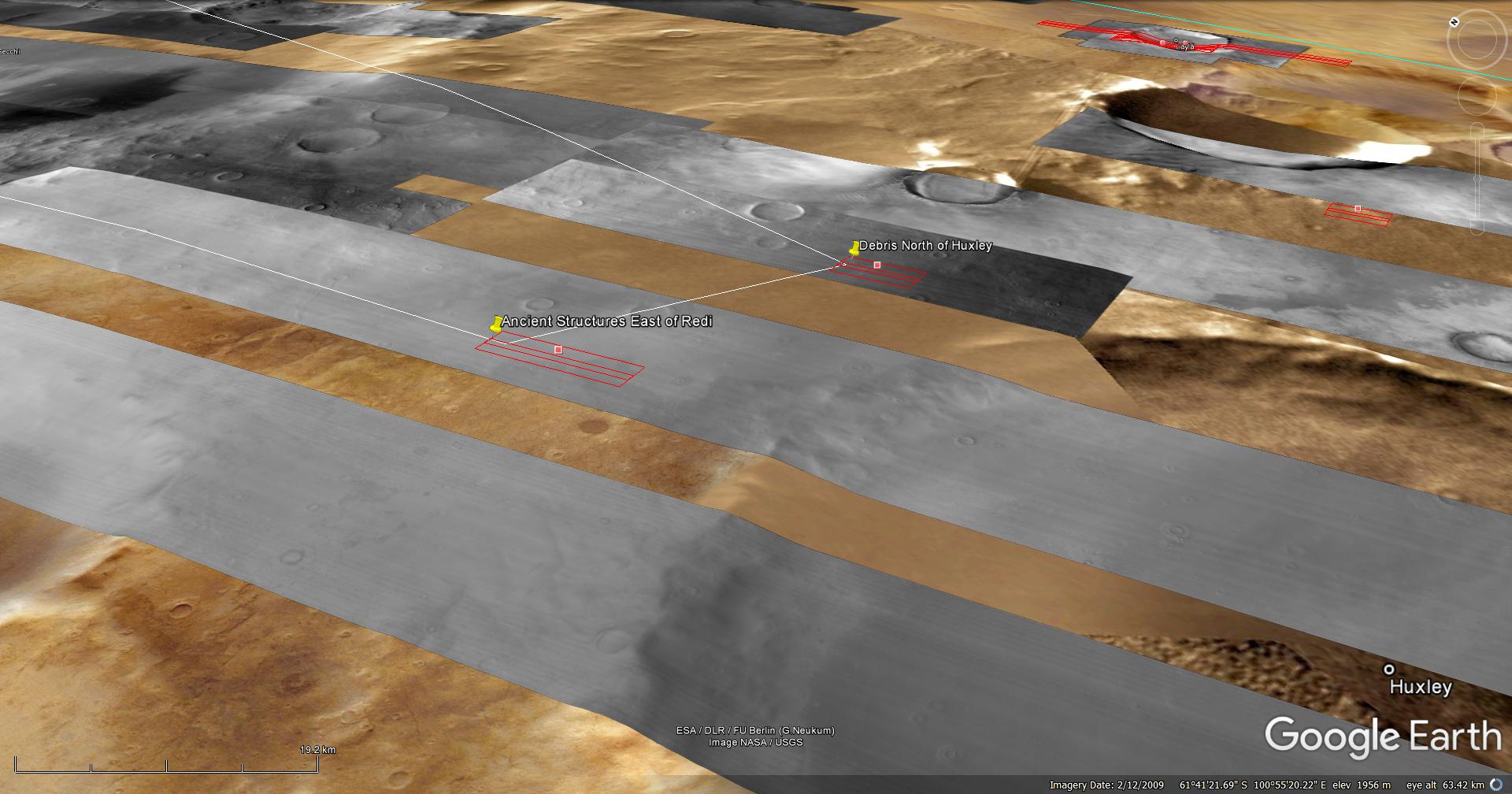
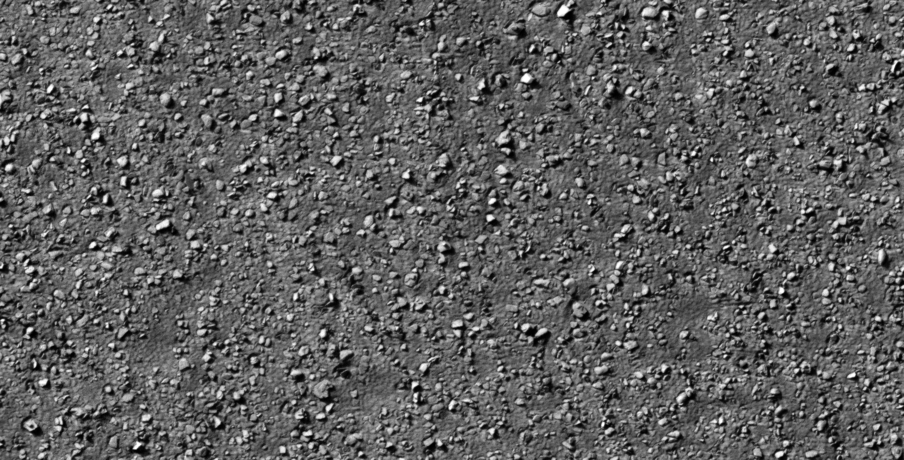
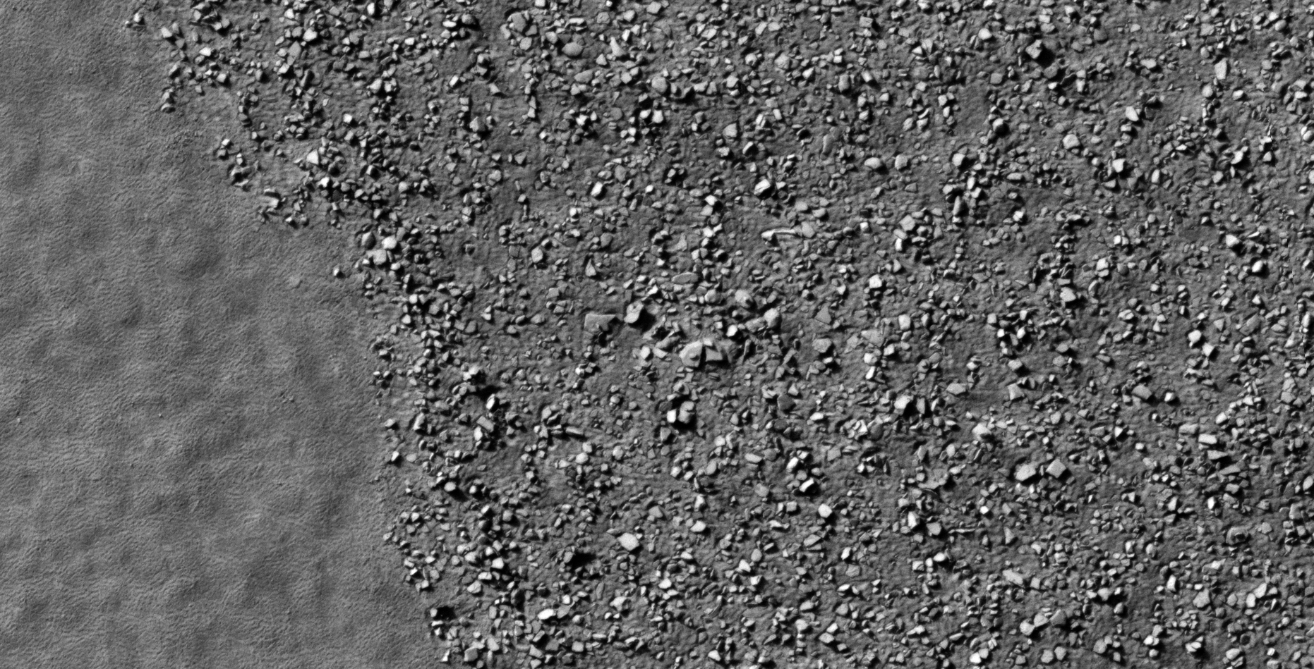
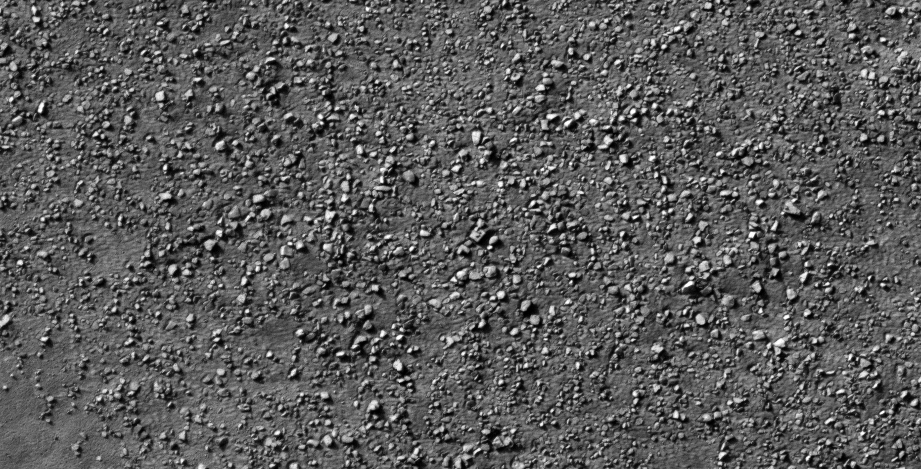
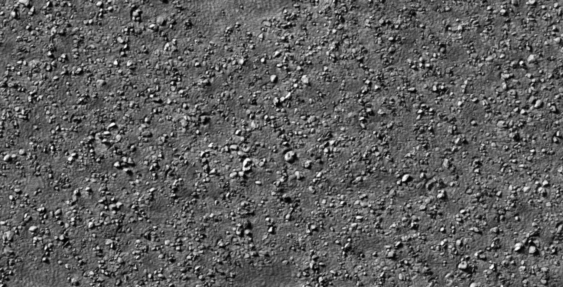
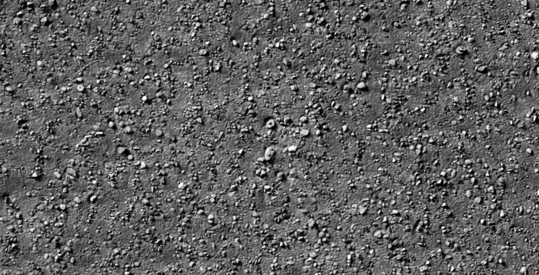
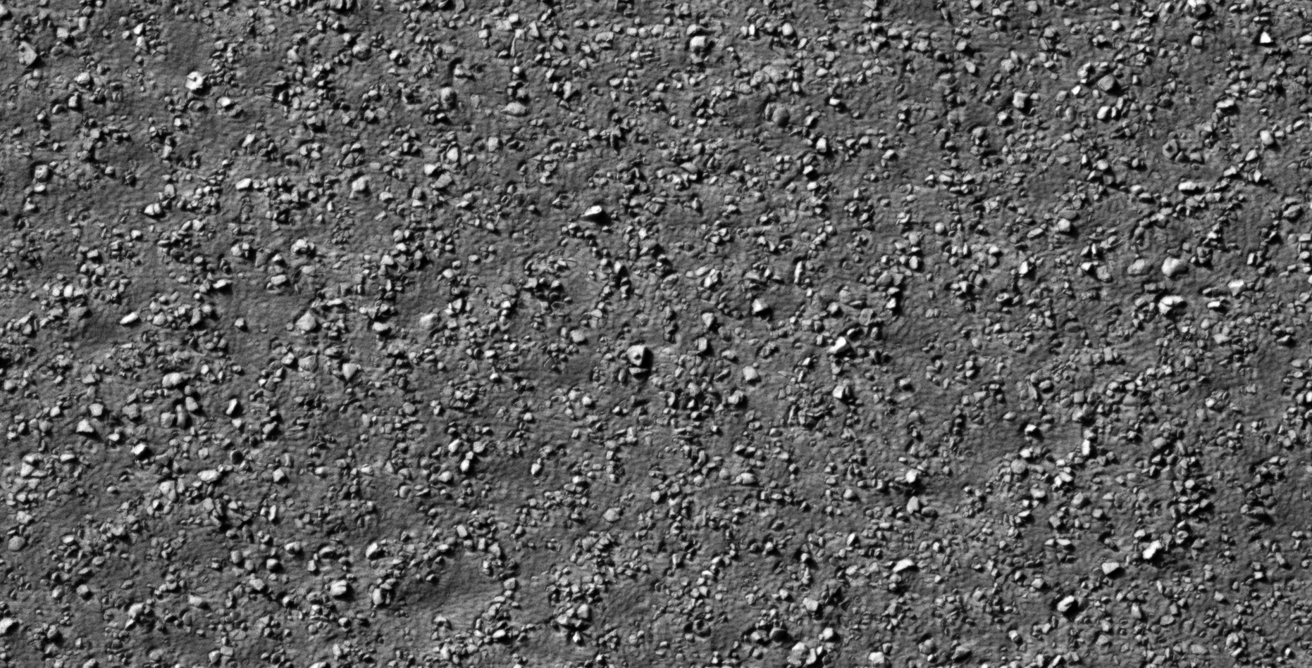
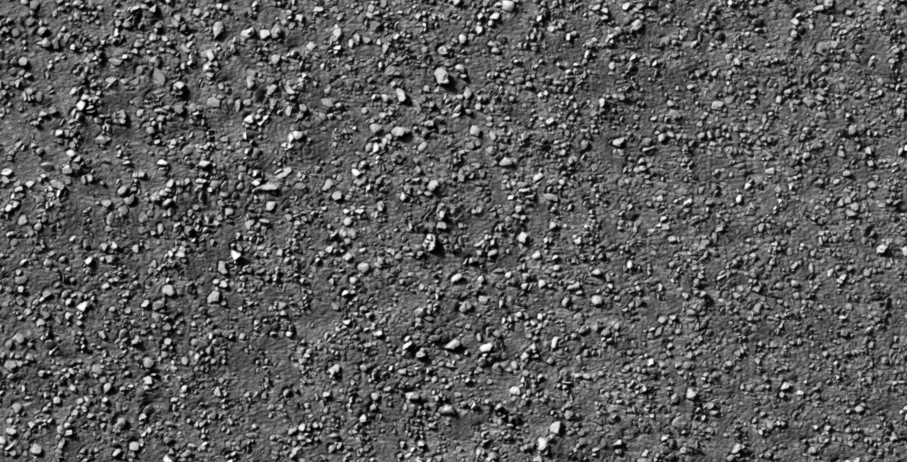
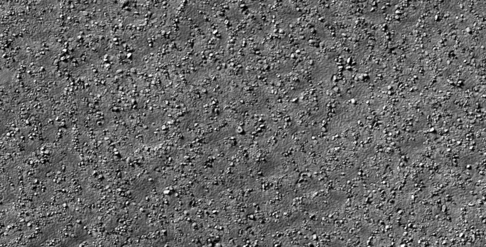
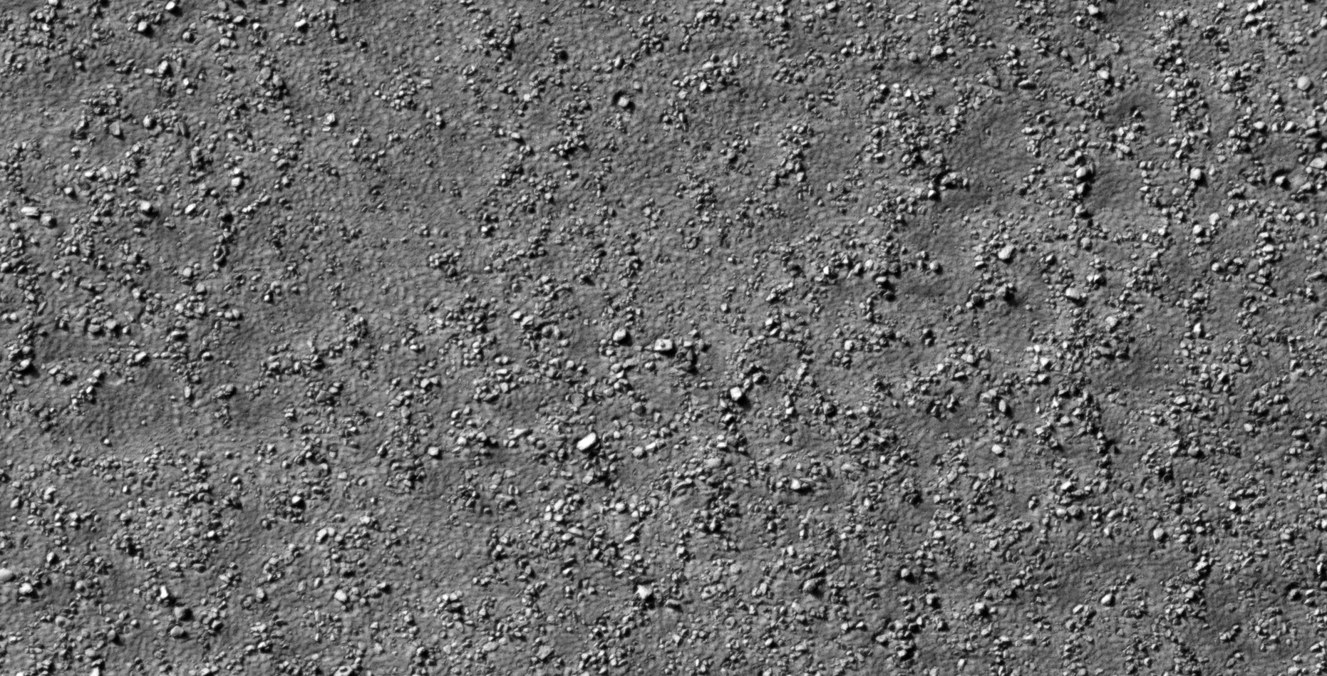
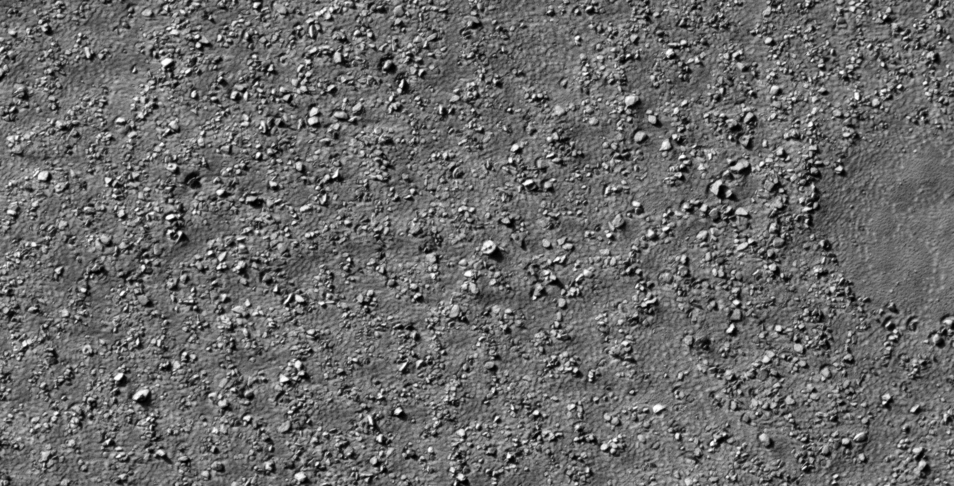
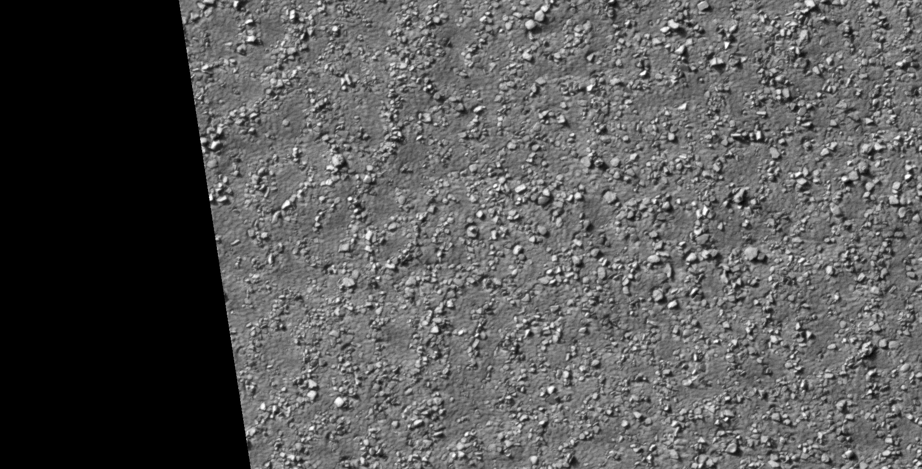
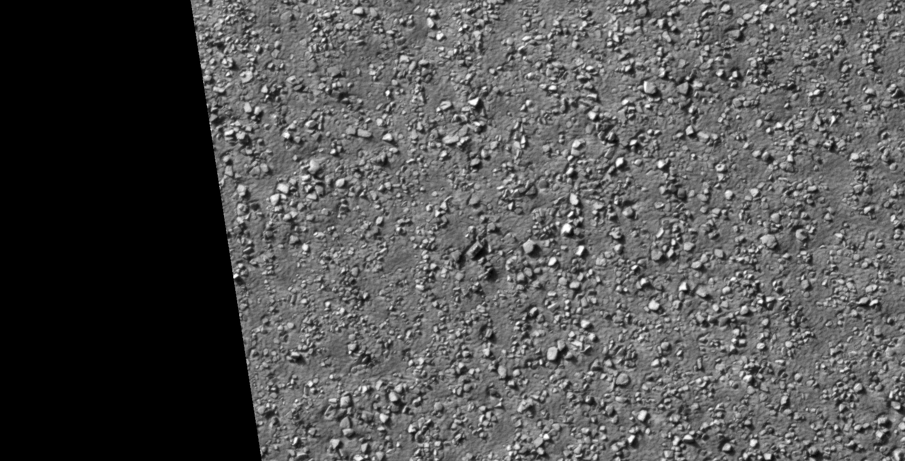
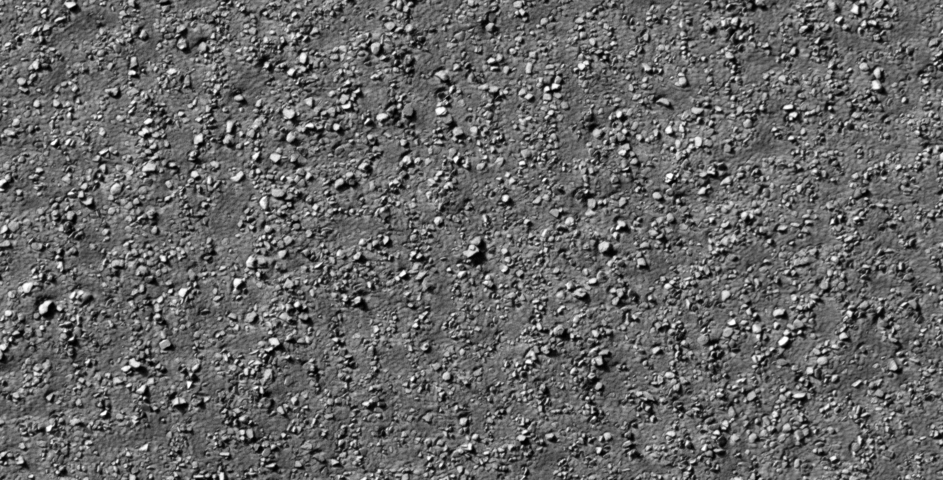
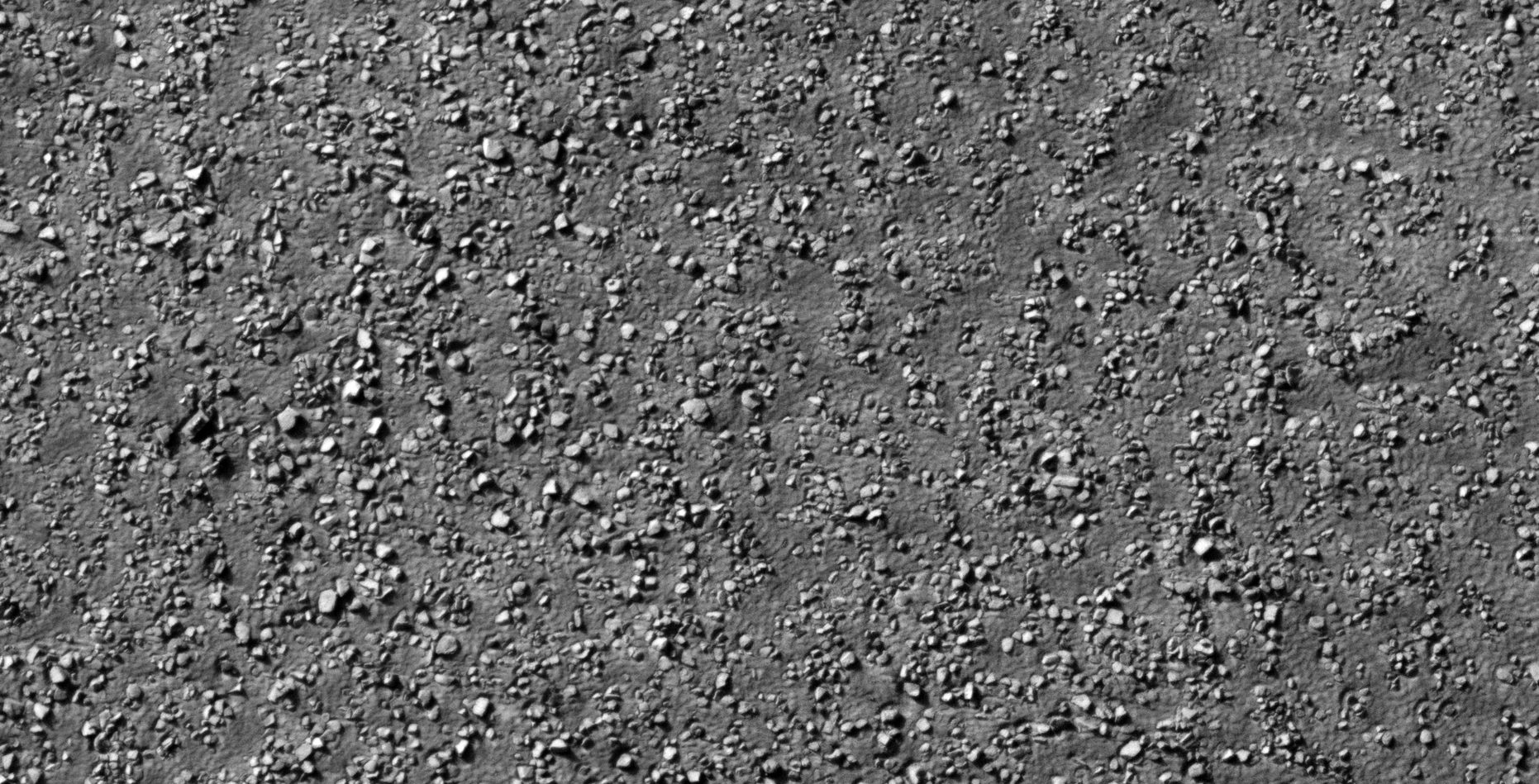
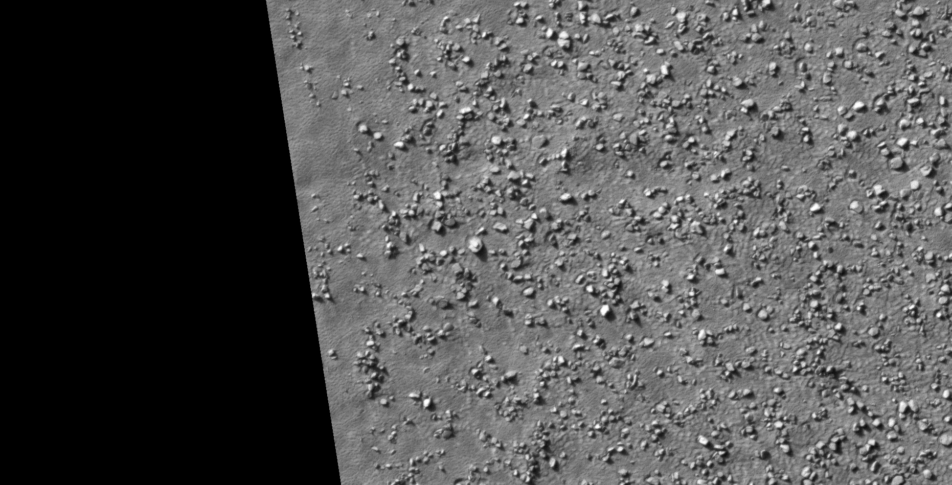
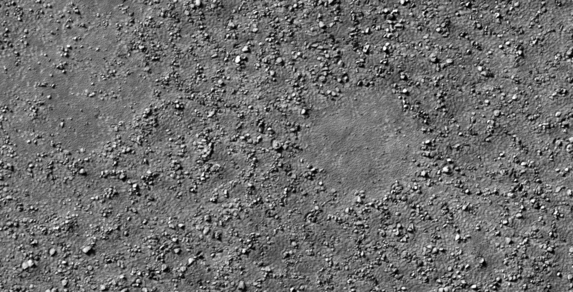
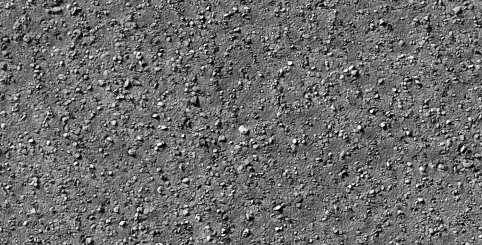
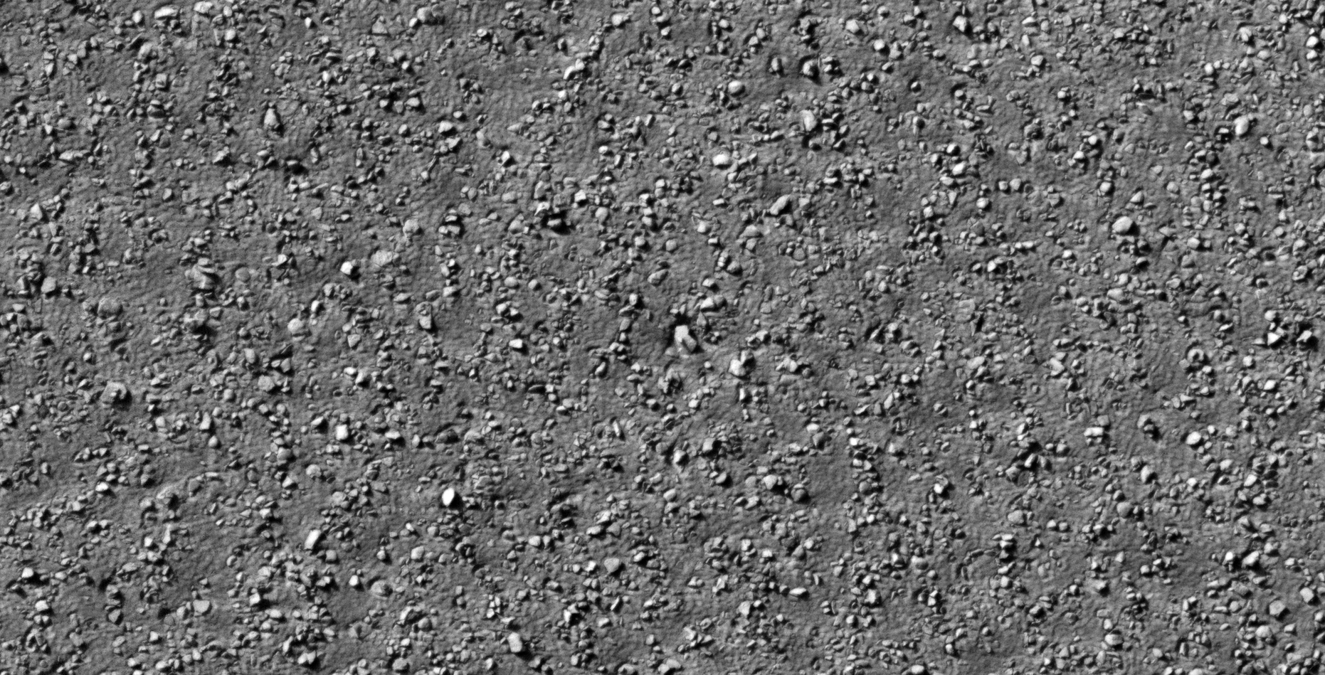
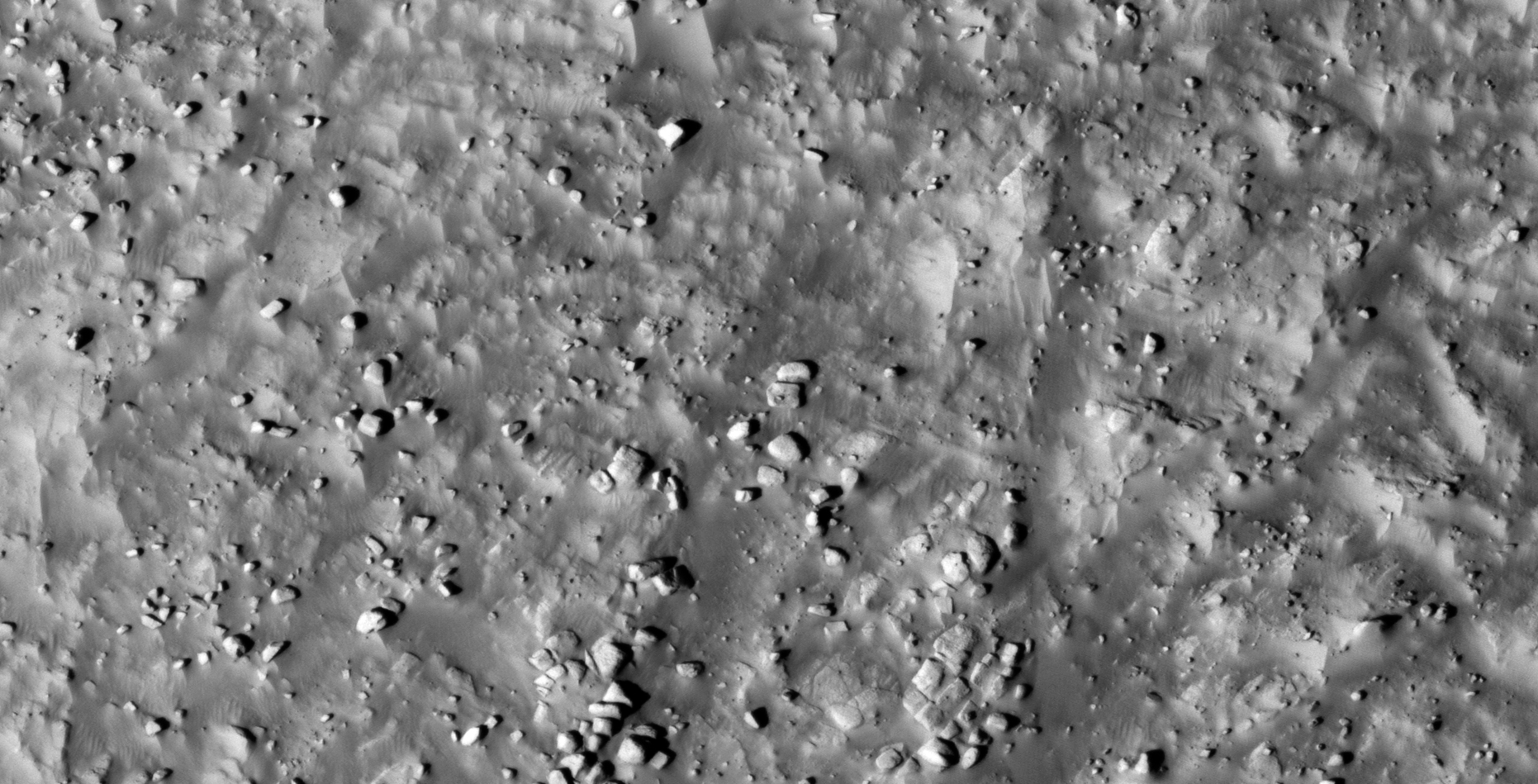
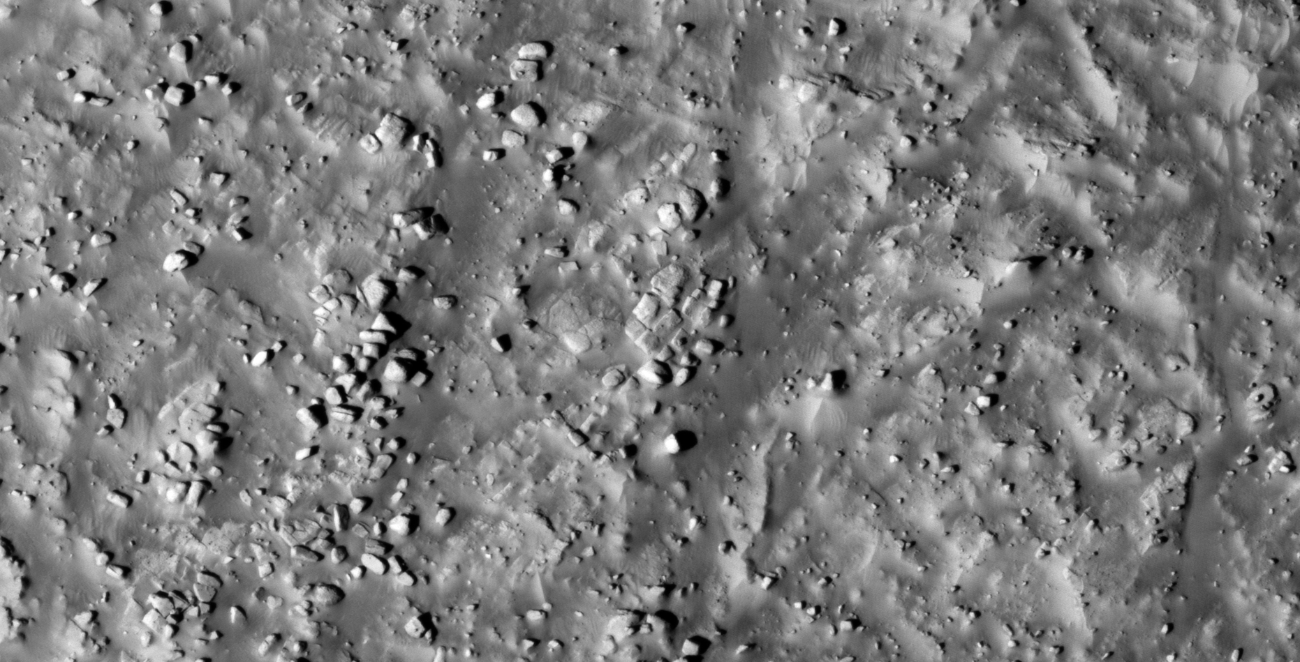
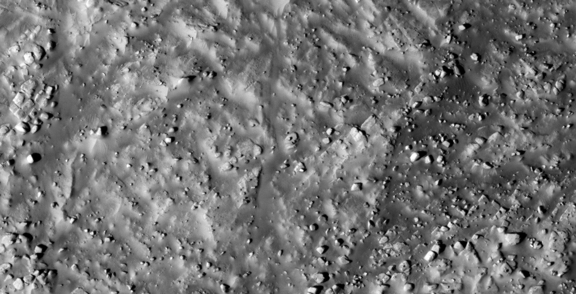
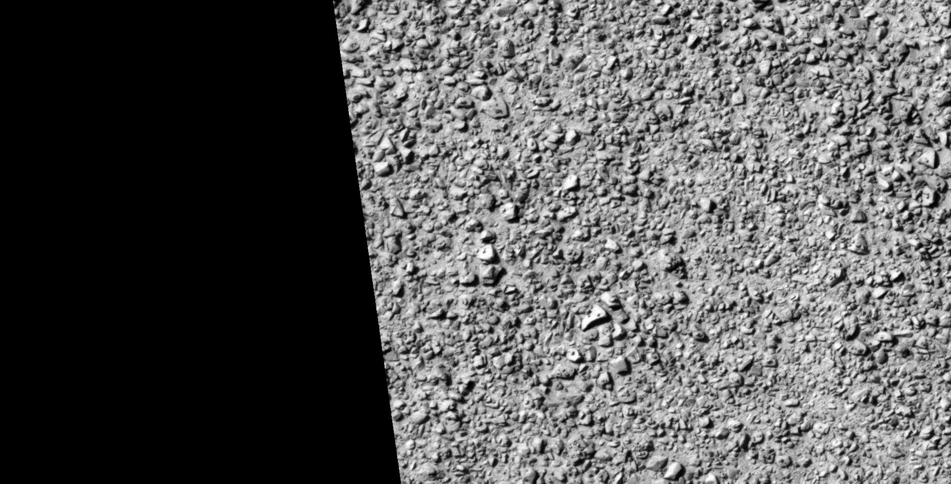
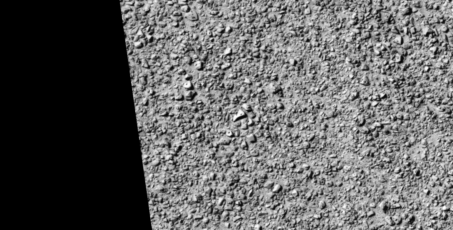
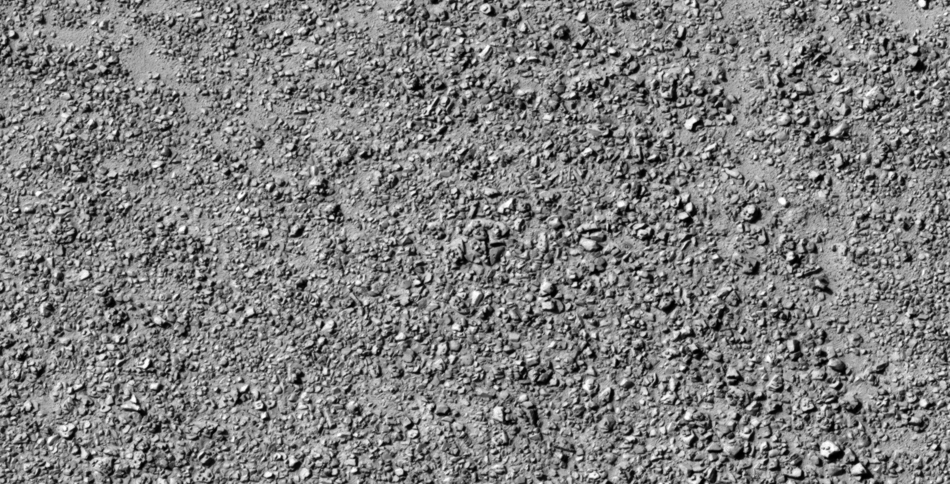
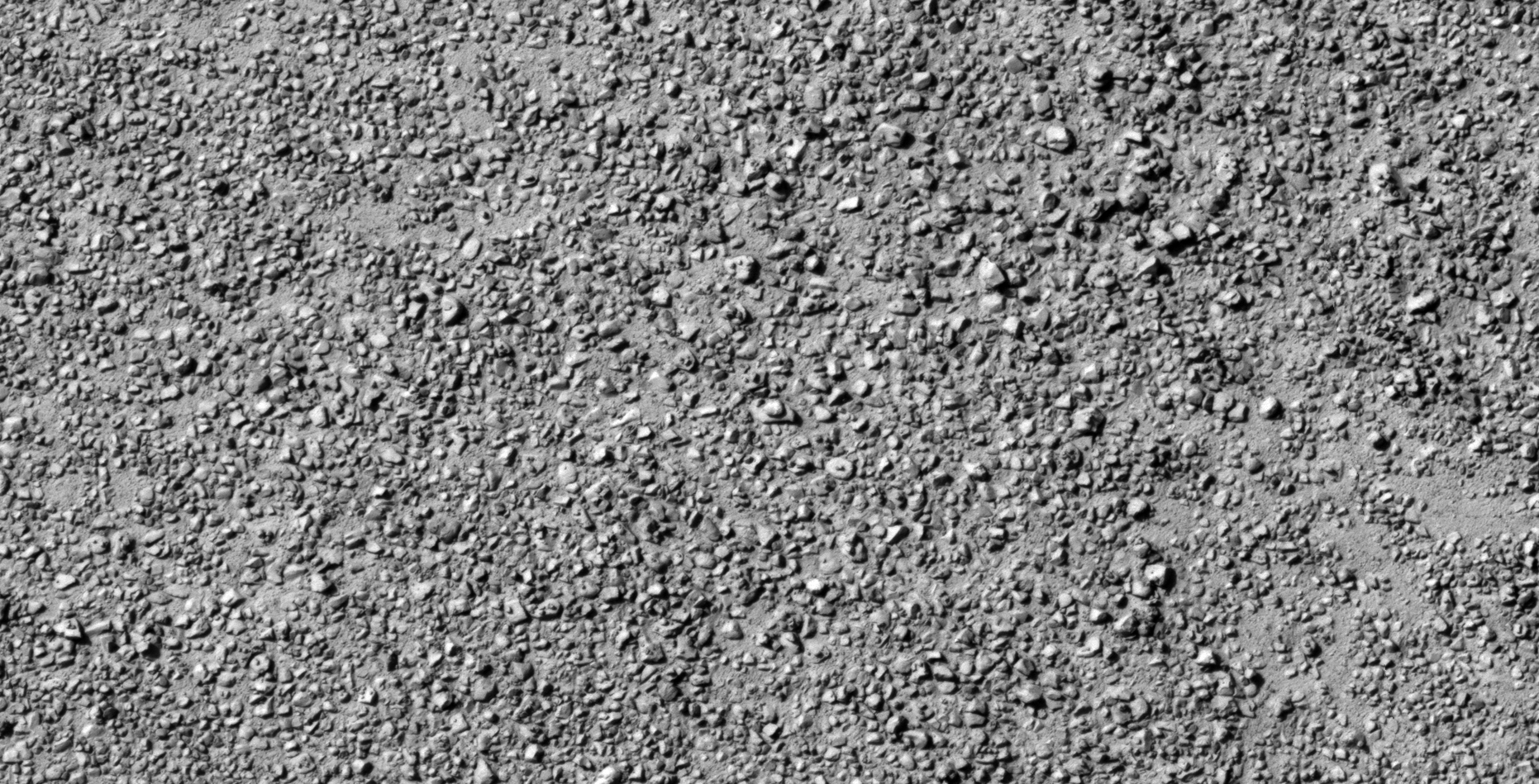
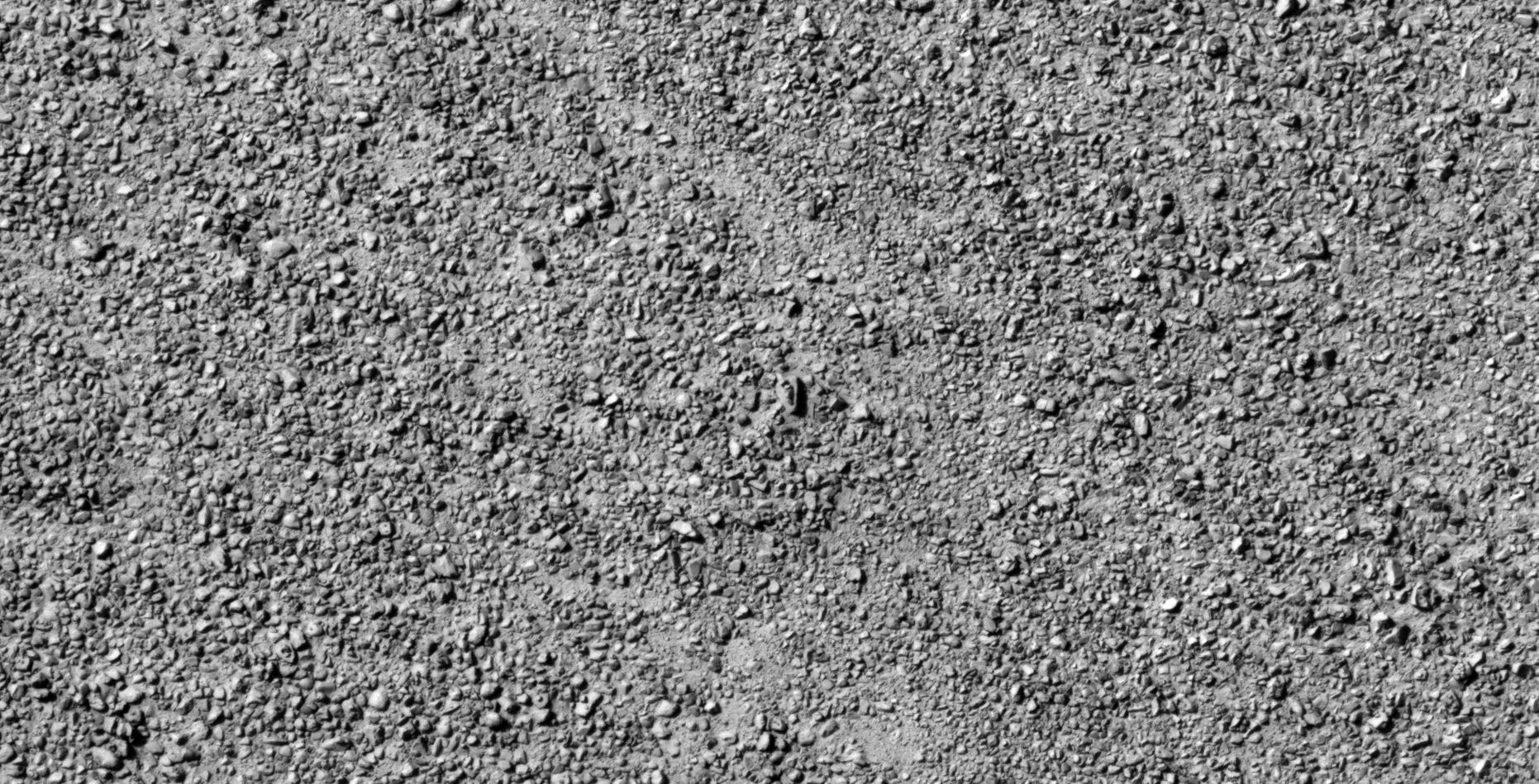
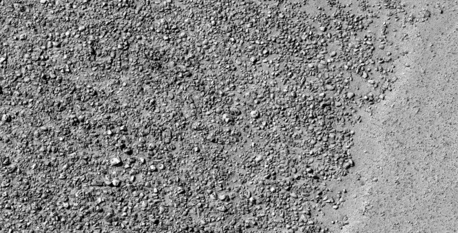
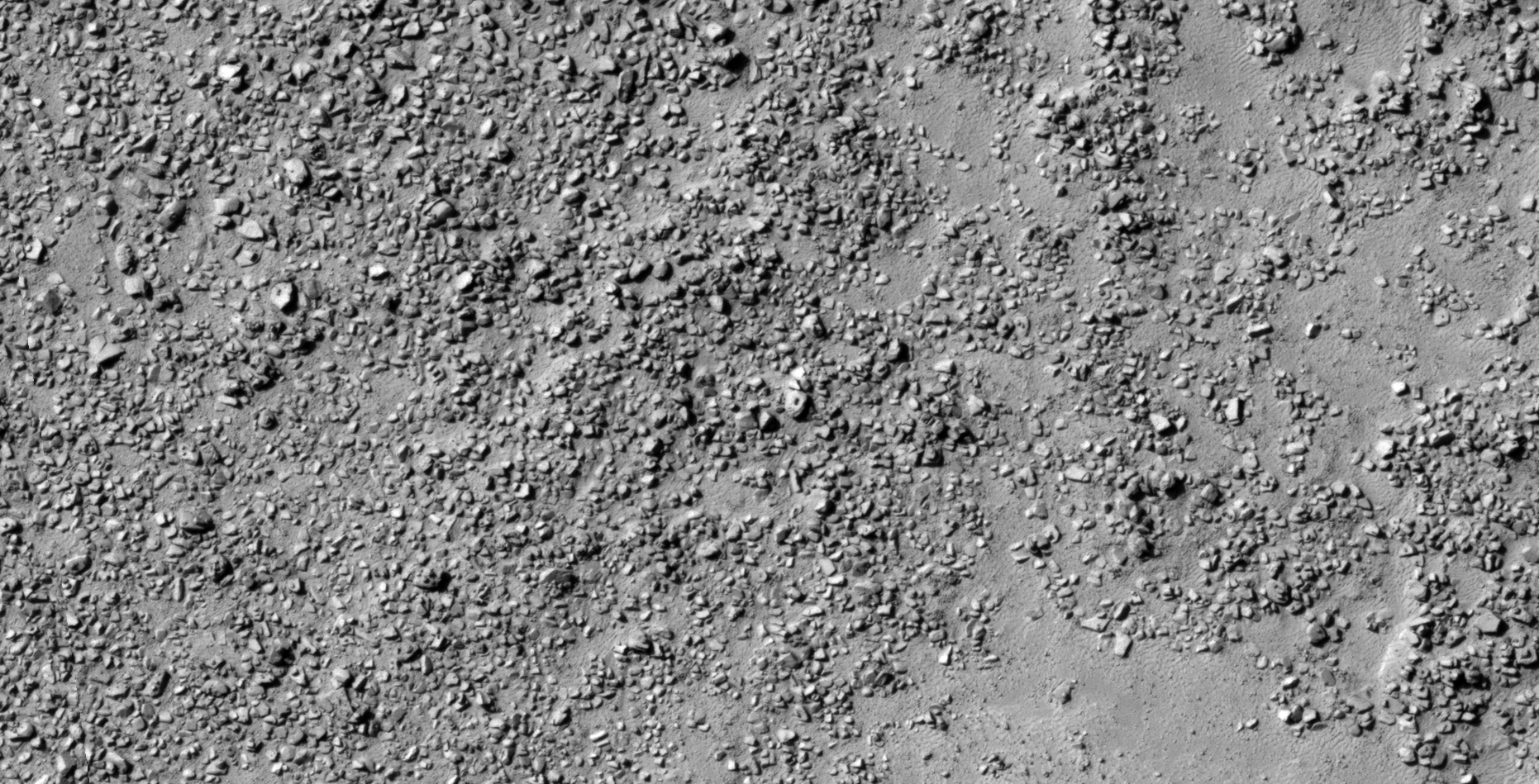
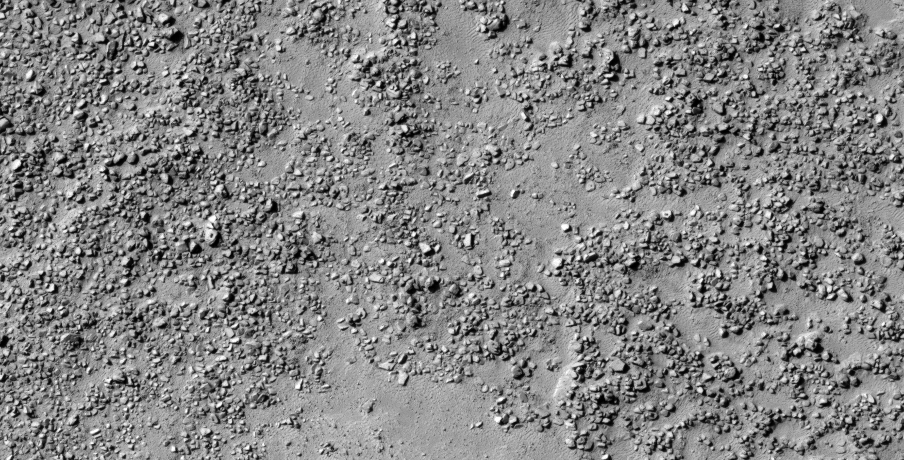
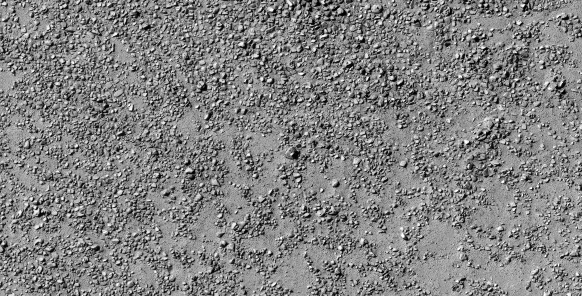
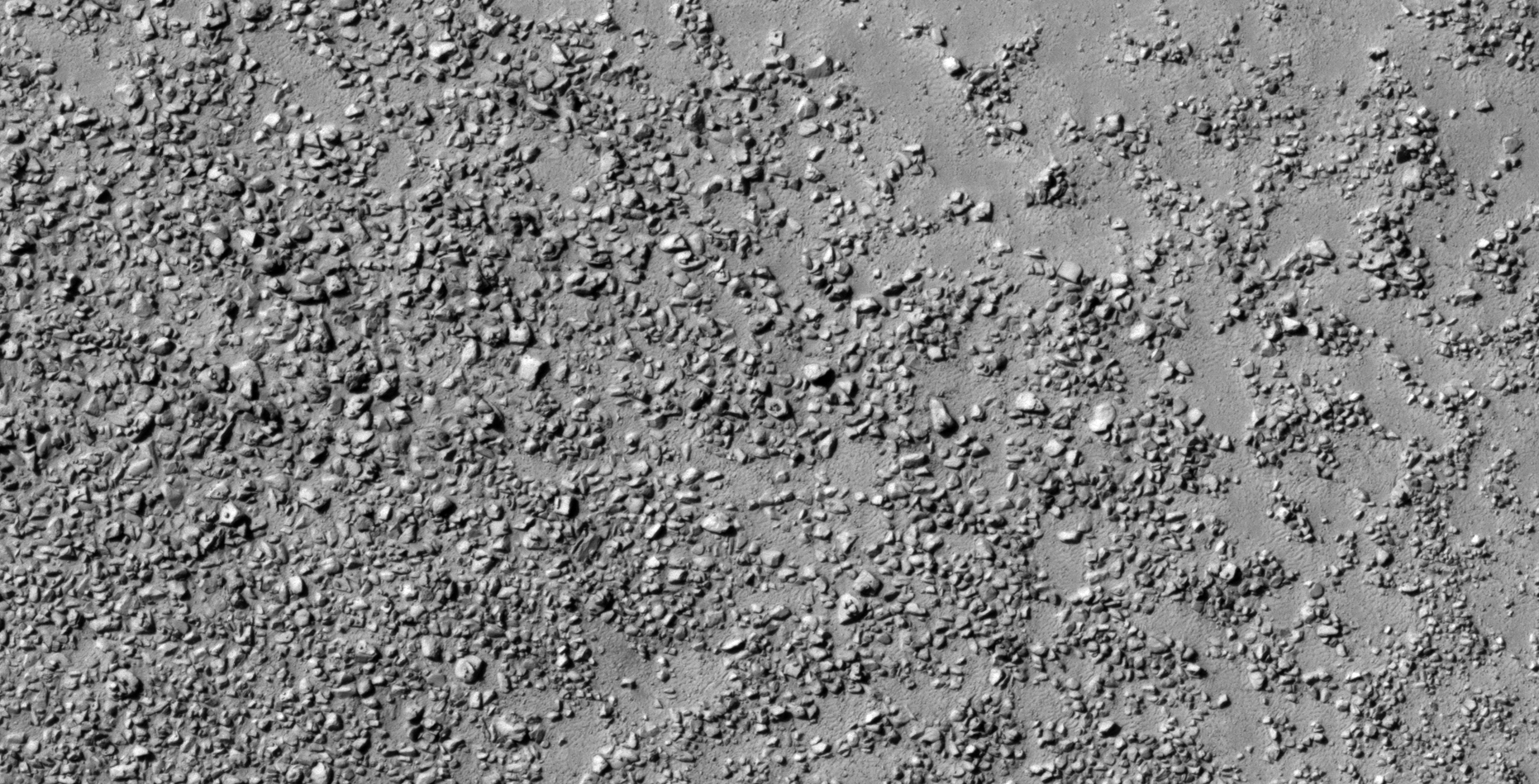
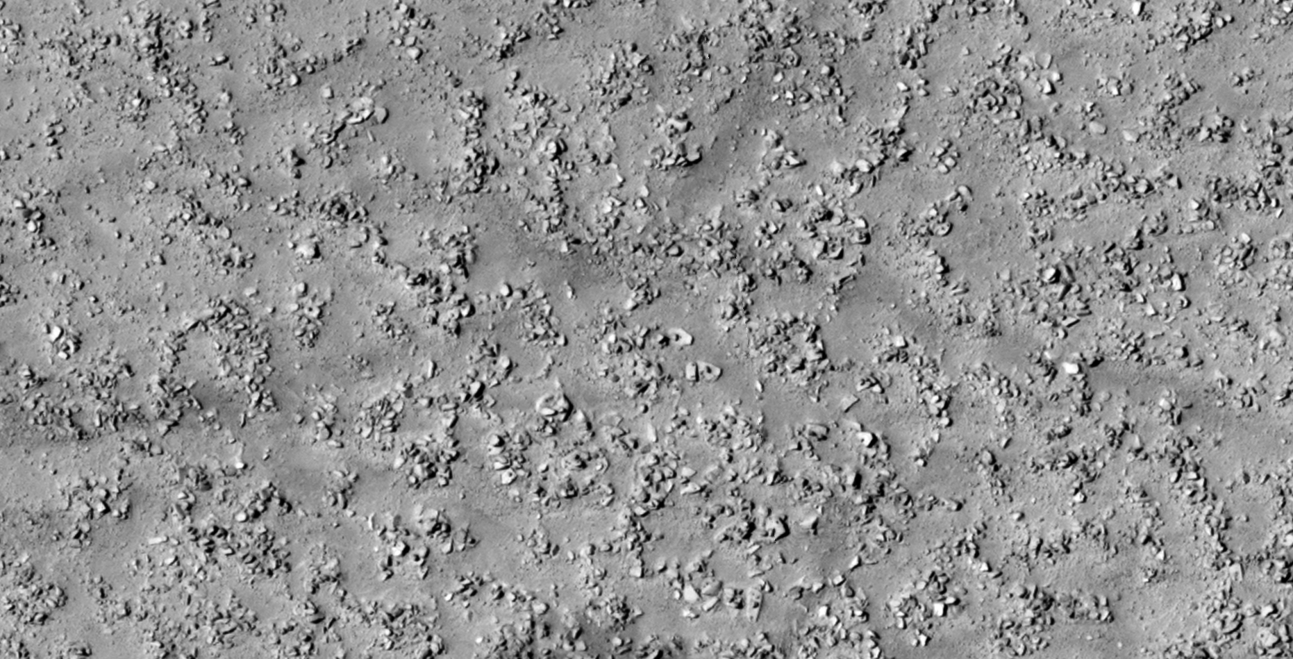
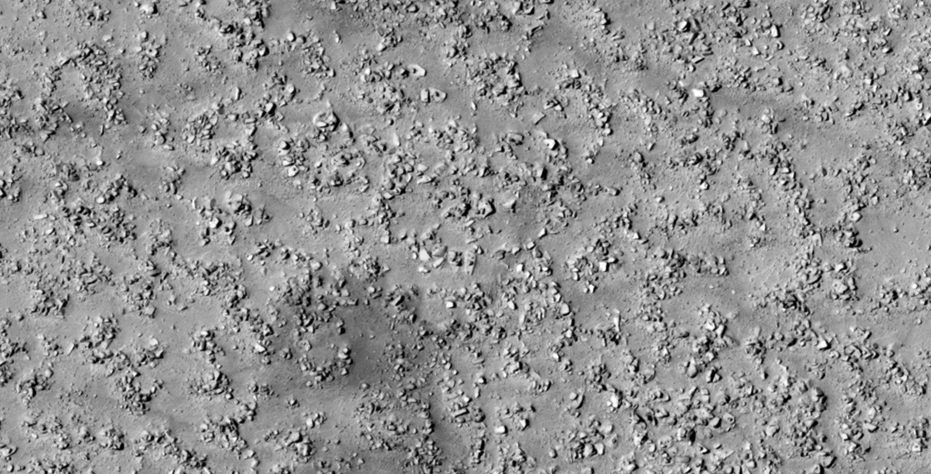
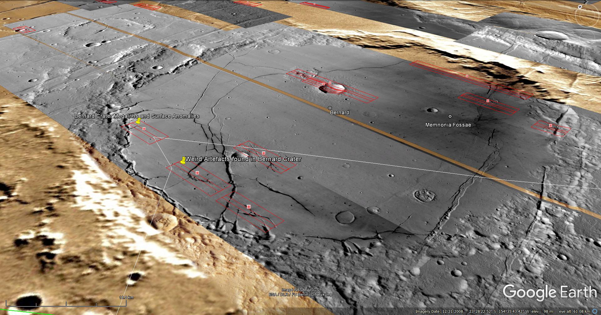
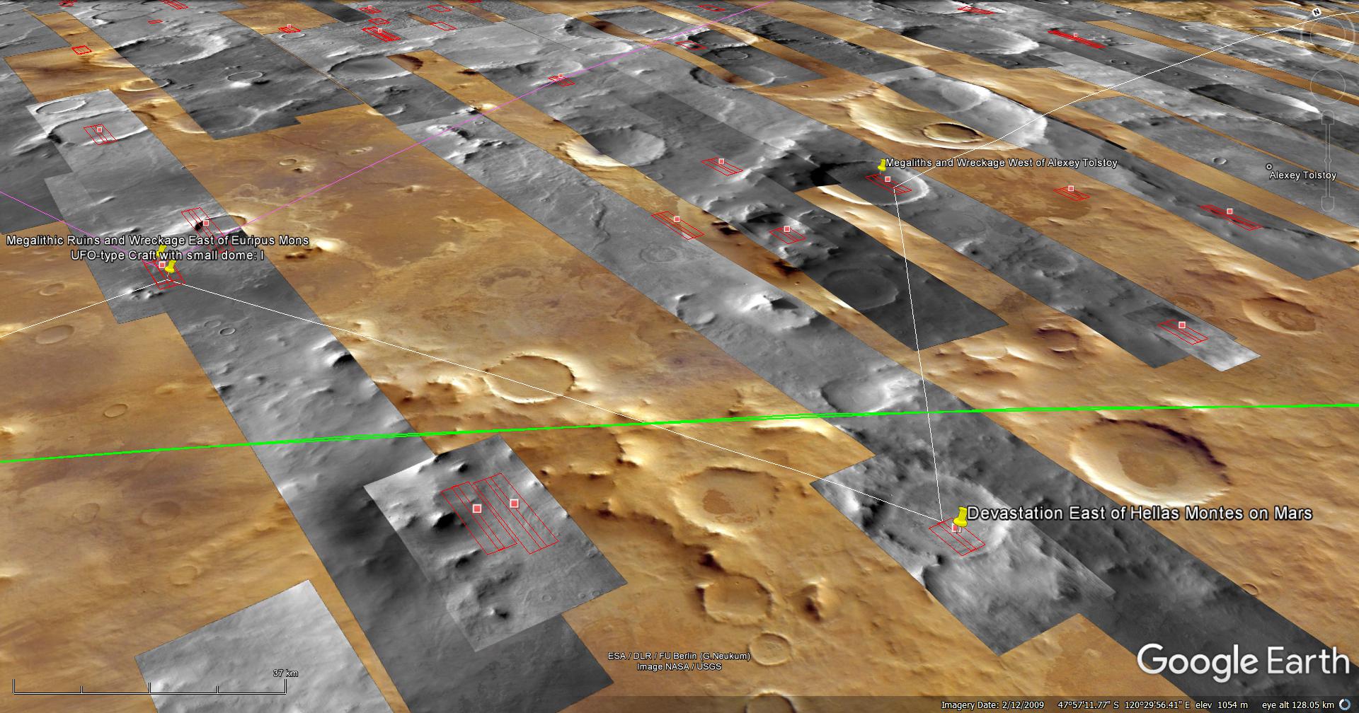
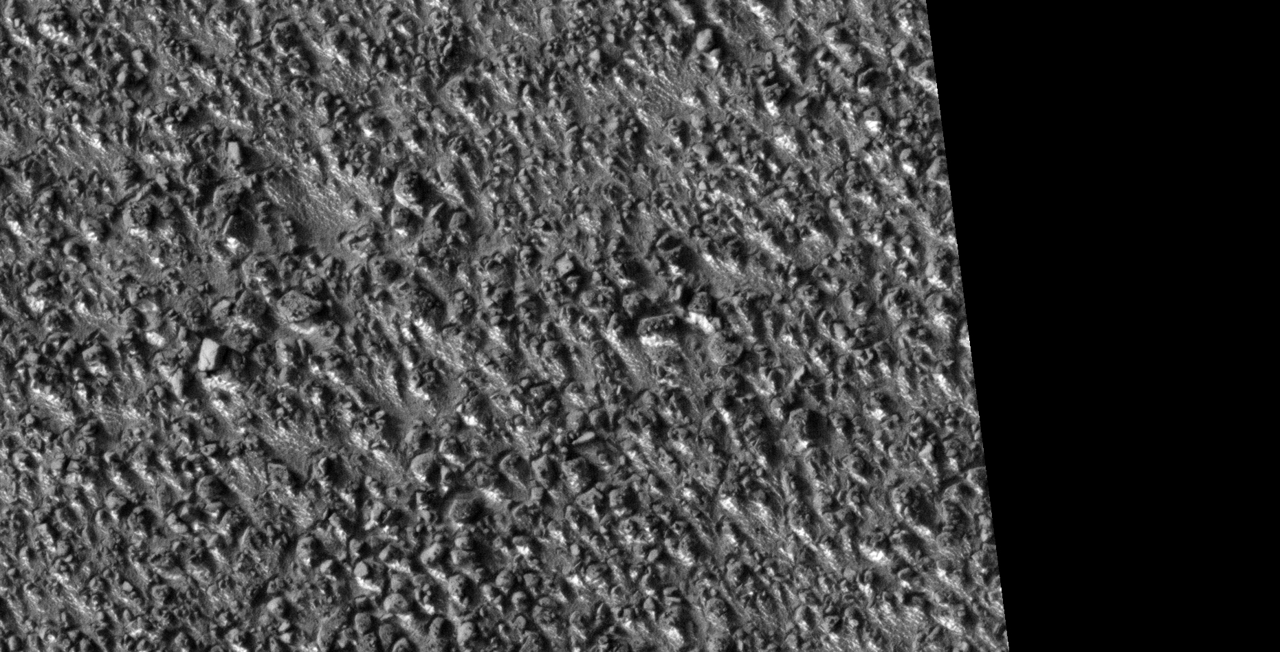
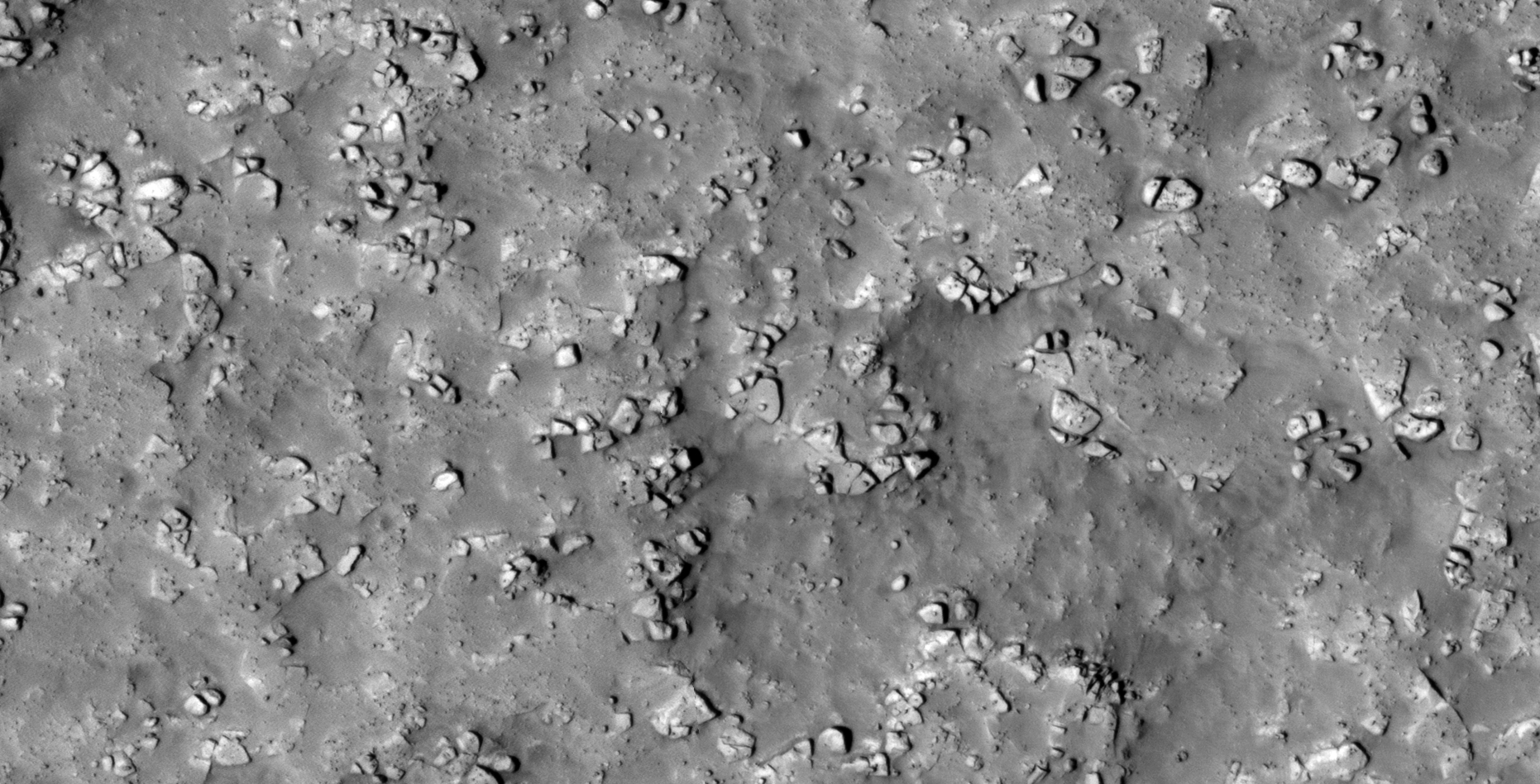
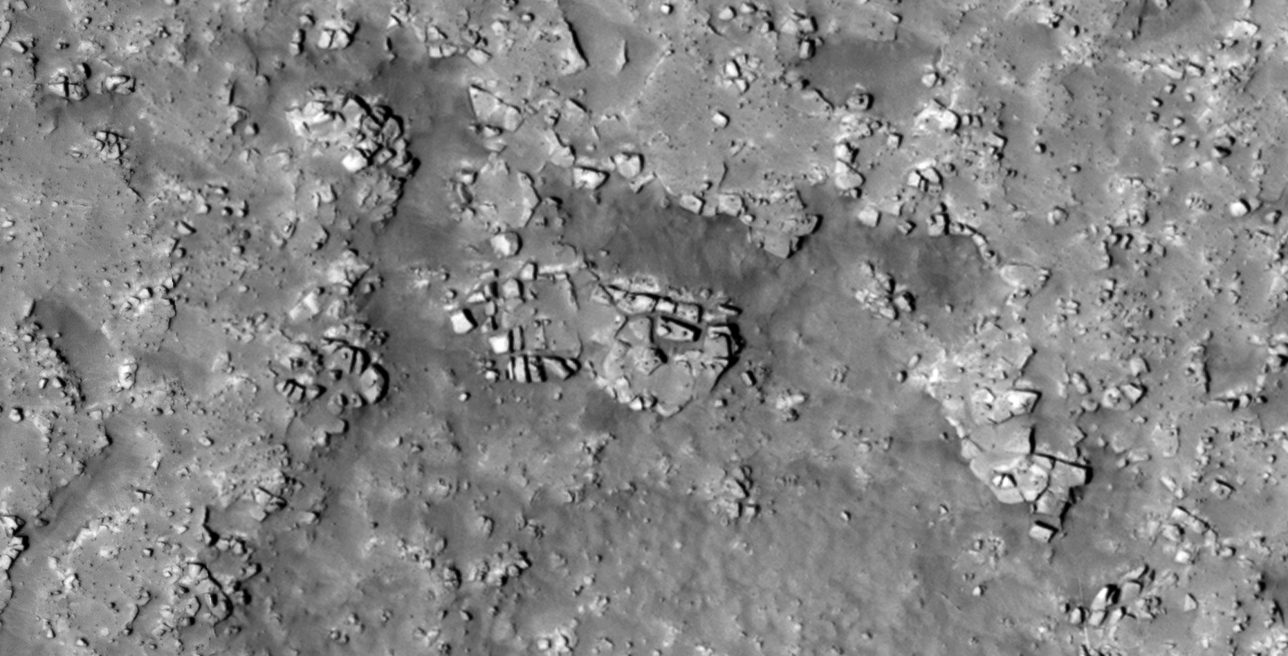
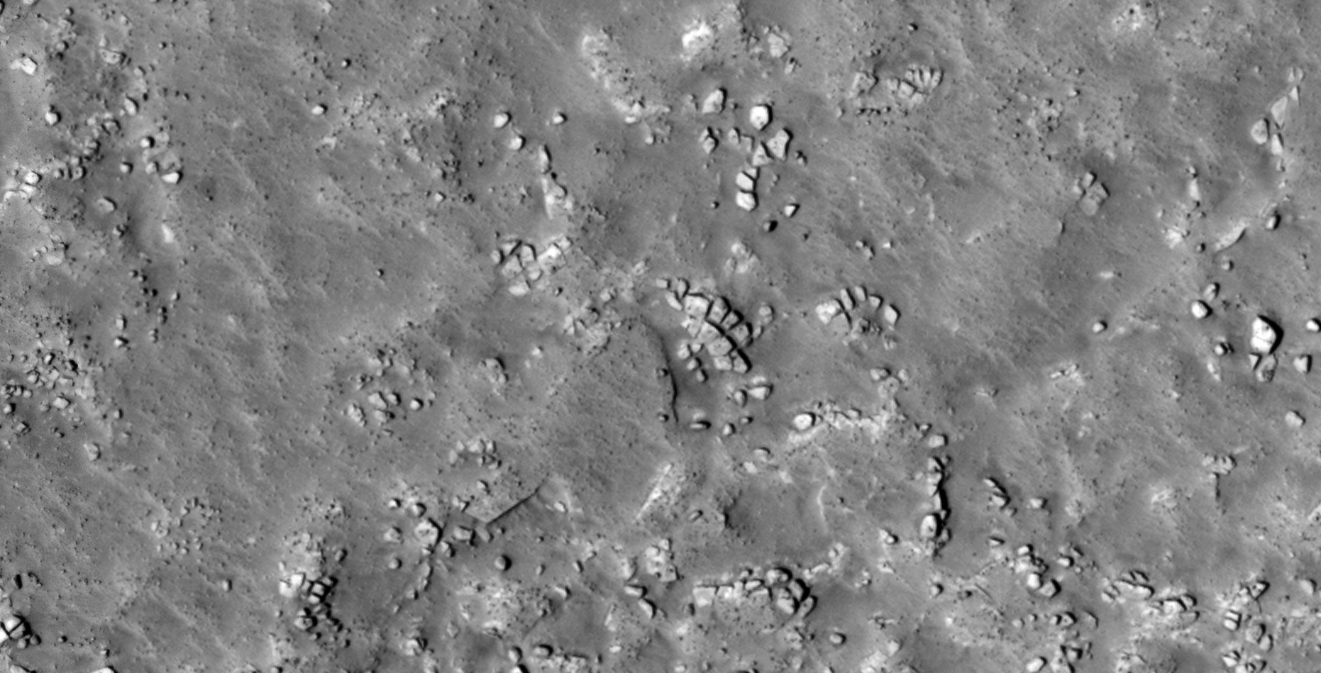
Another terrain covered in megalithic anomalies, many looking like blocks or slabs with knobs, arranged in rows side-by-side.
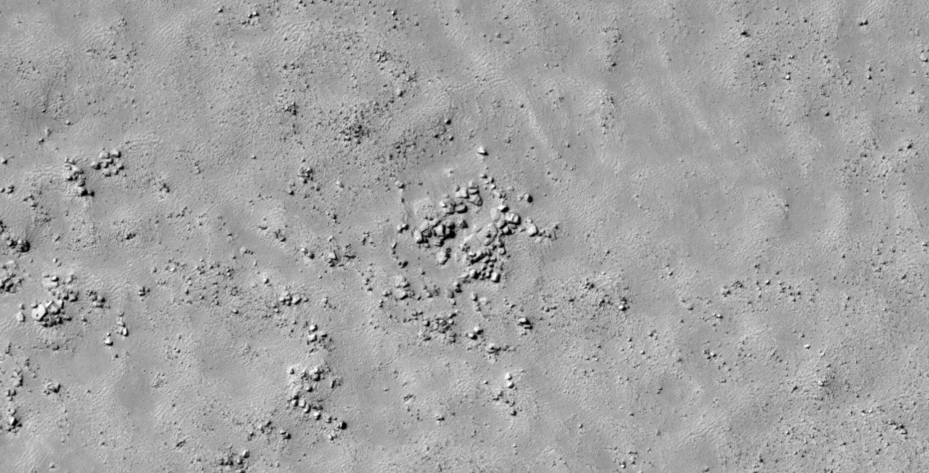
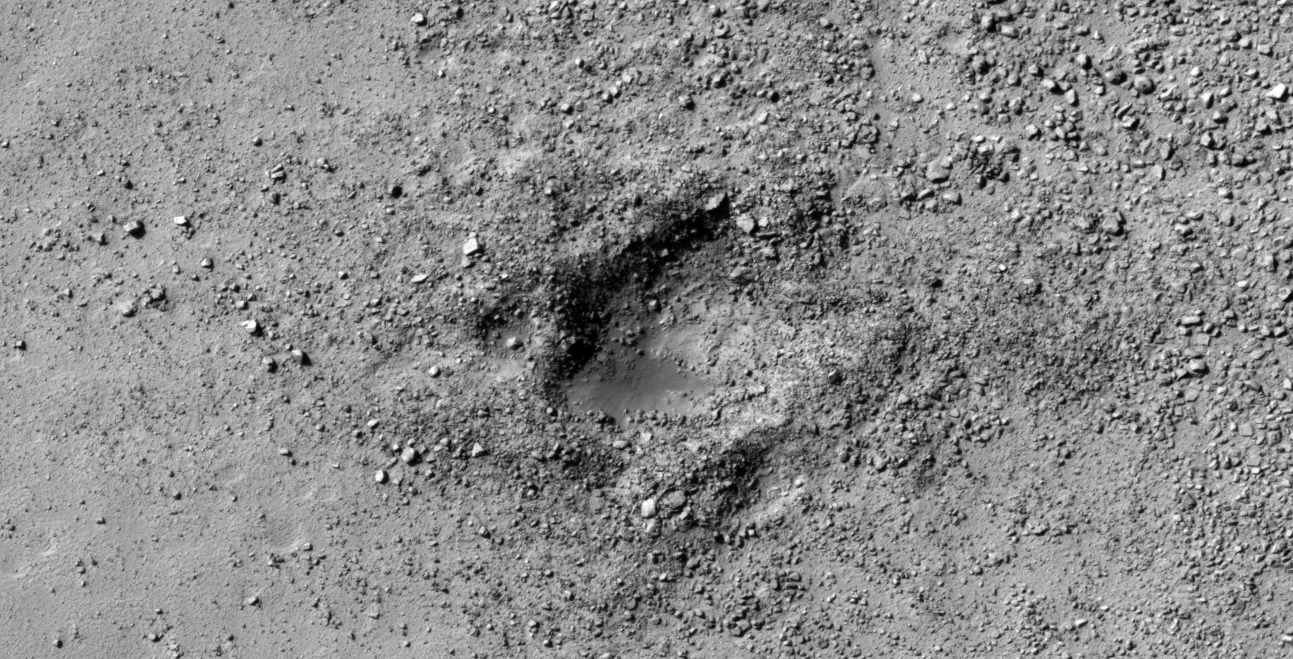
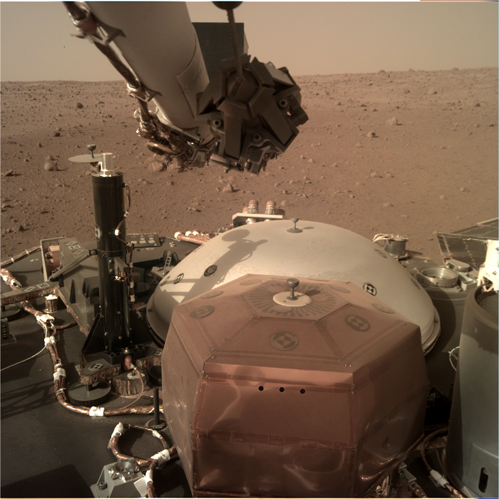
InSight may have photographed an anomaly:
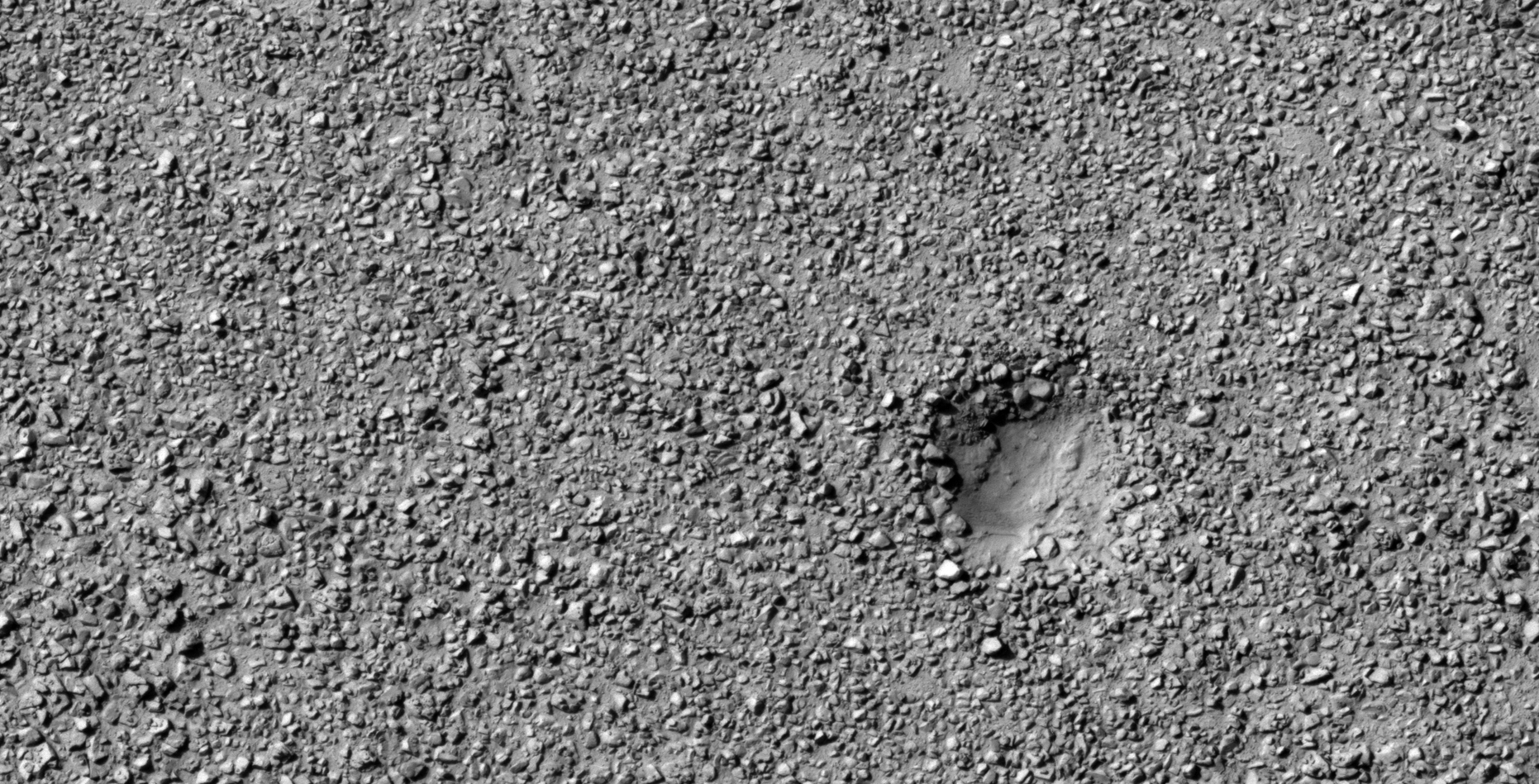
I discovered what looks like another stone-disc-like anomaly in an InSight photograph taken on Sol 8.
On 5 January 2009 NASA’s Mars Exploration Rover Spirit captured a similar stone anomaly on the Martian surface (PIA11746).

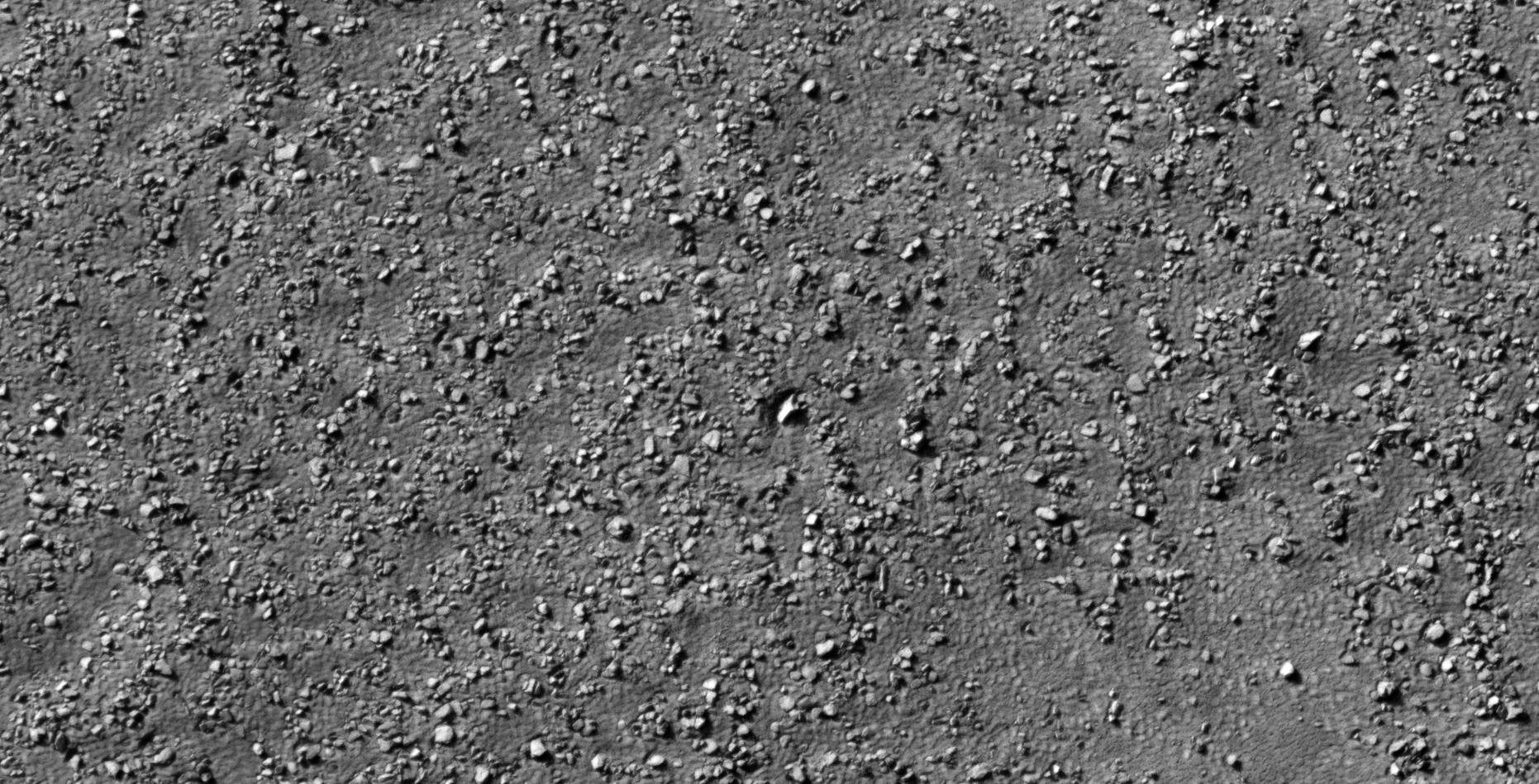
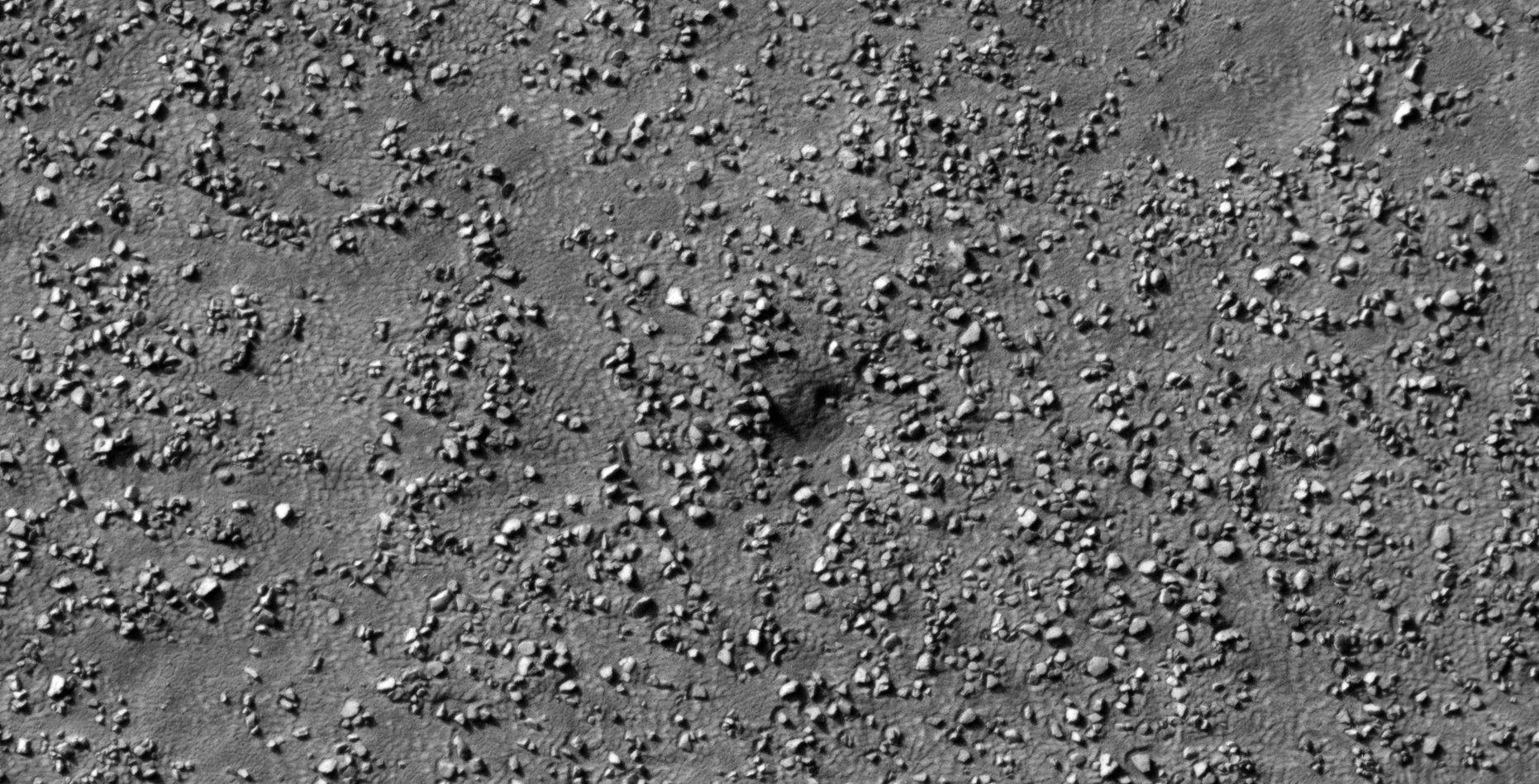
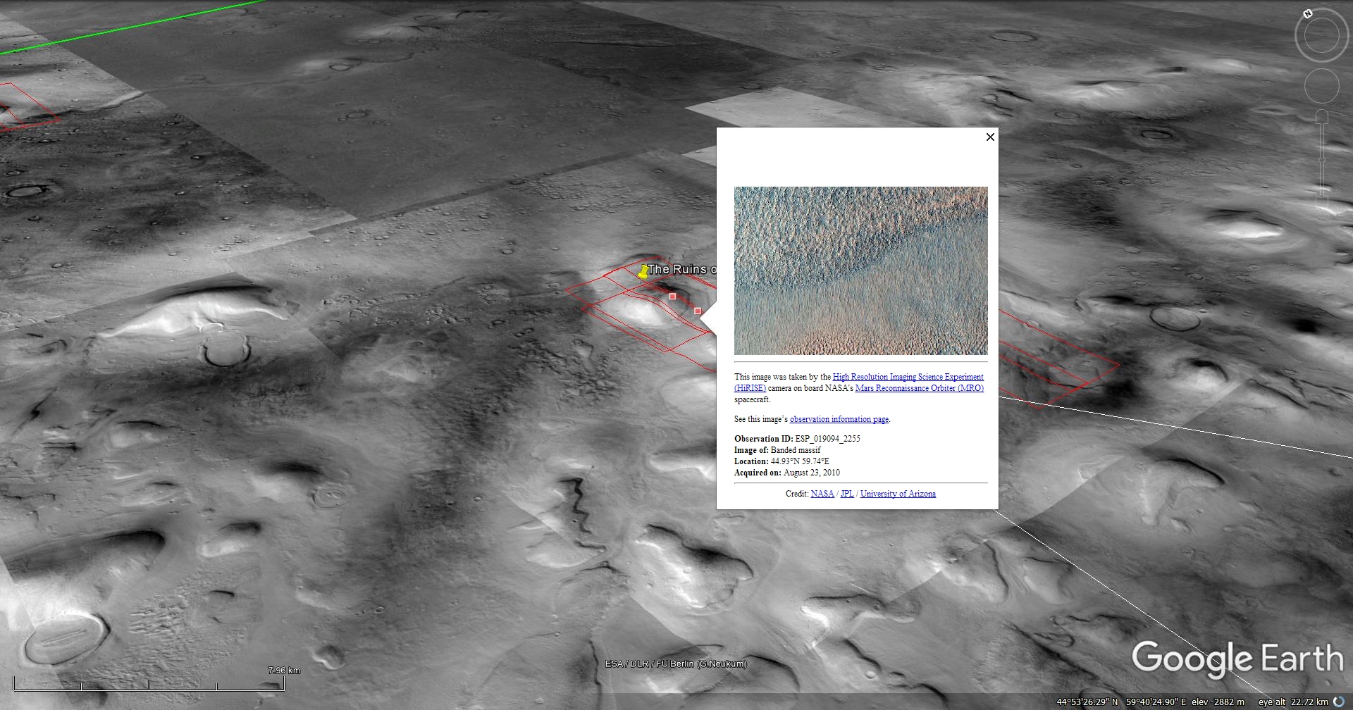
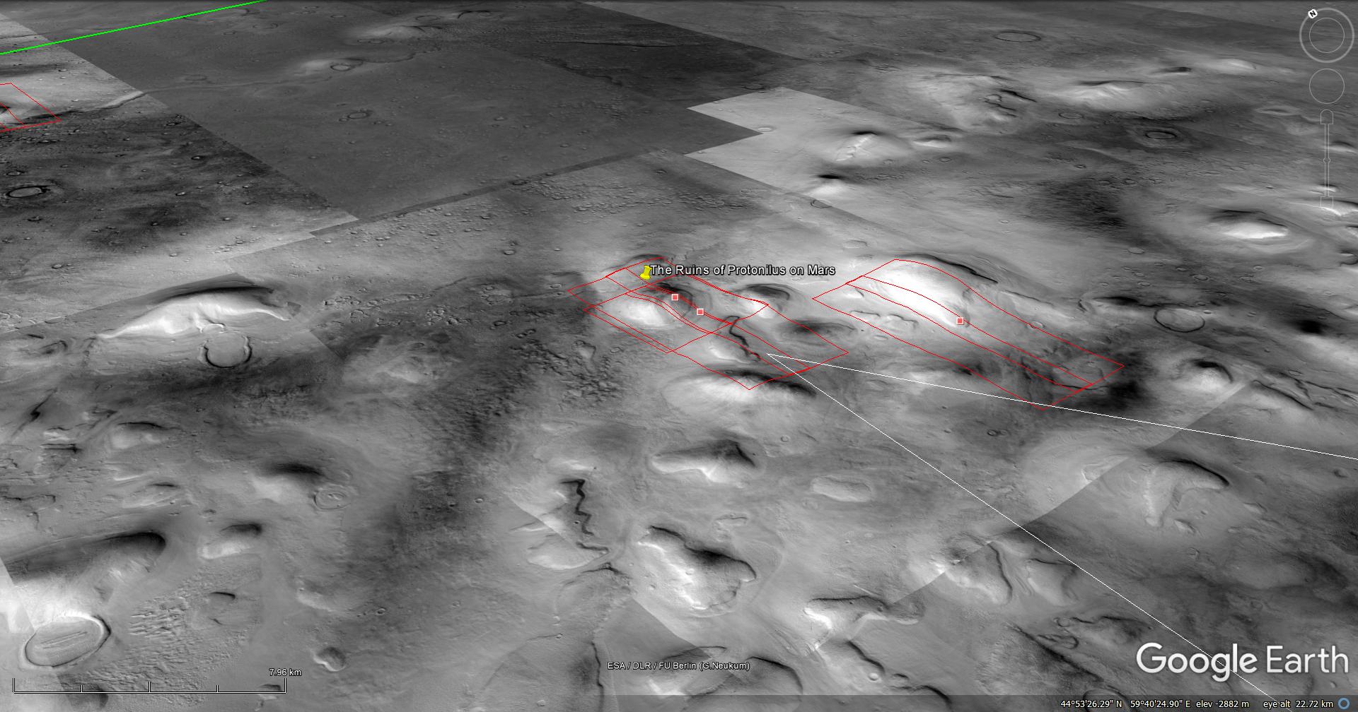
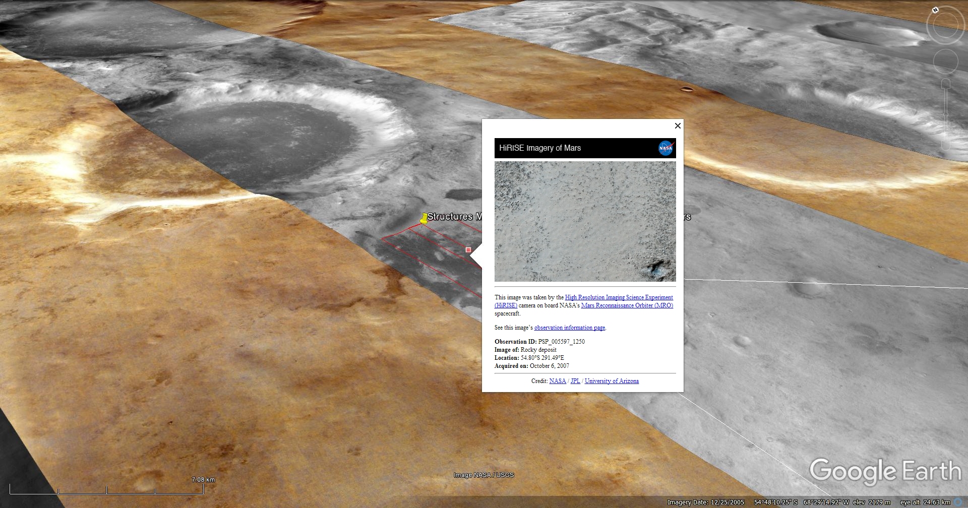
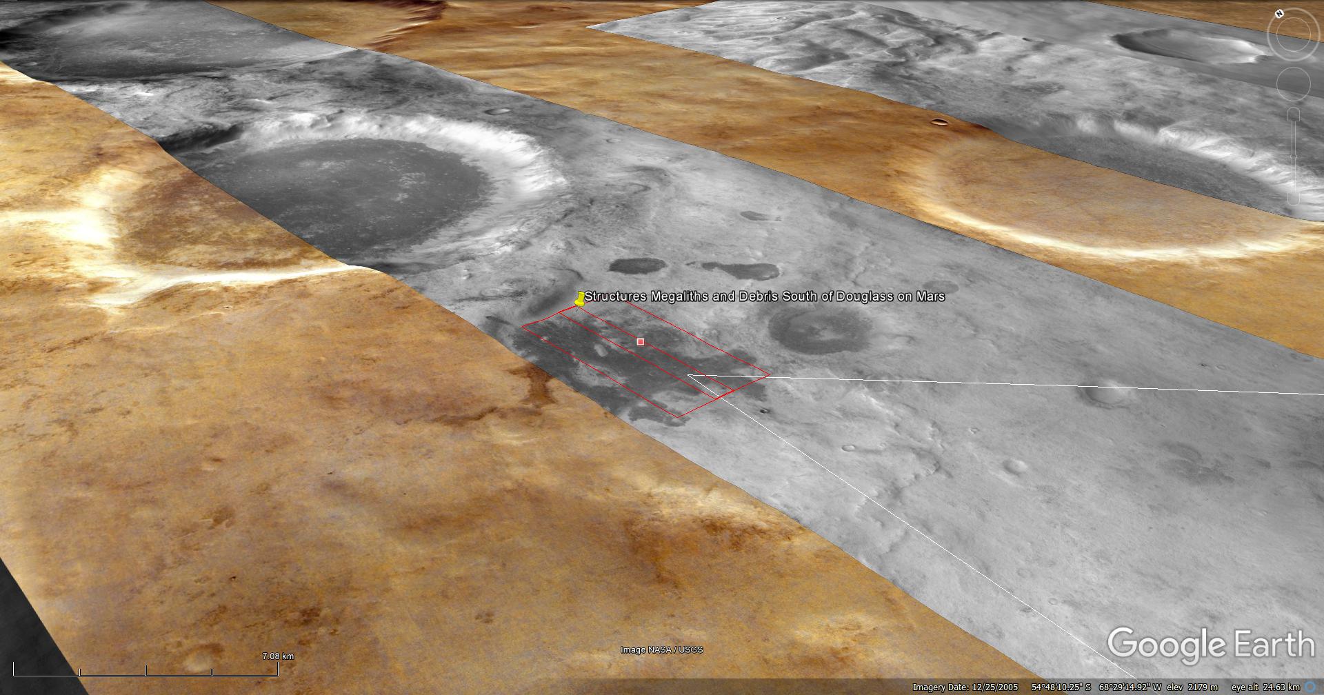
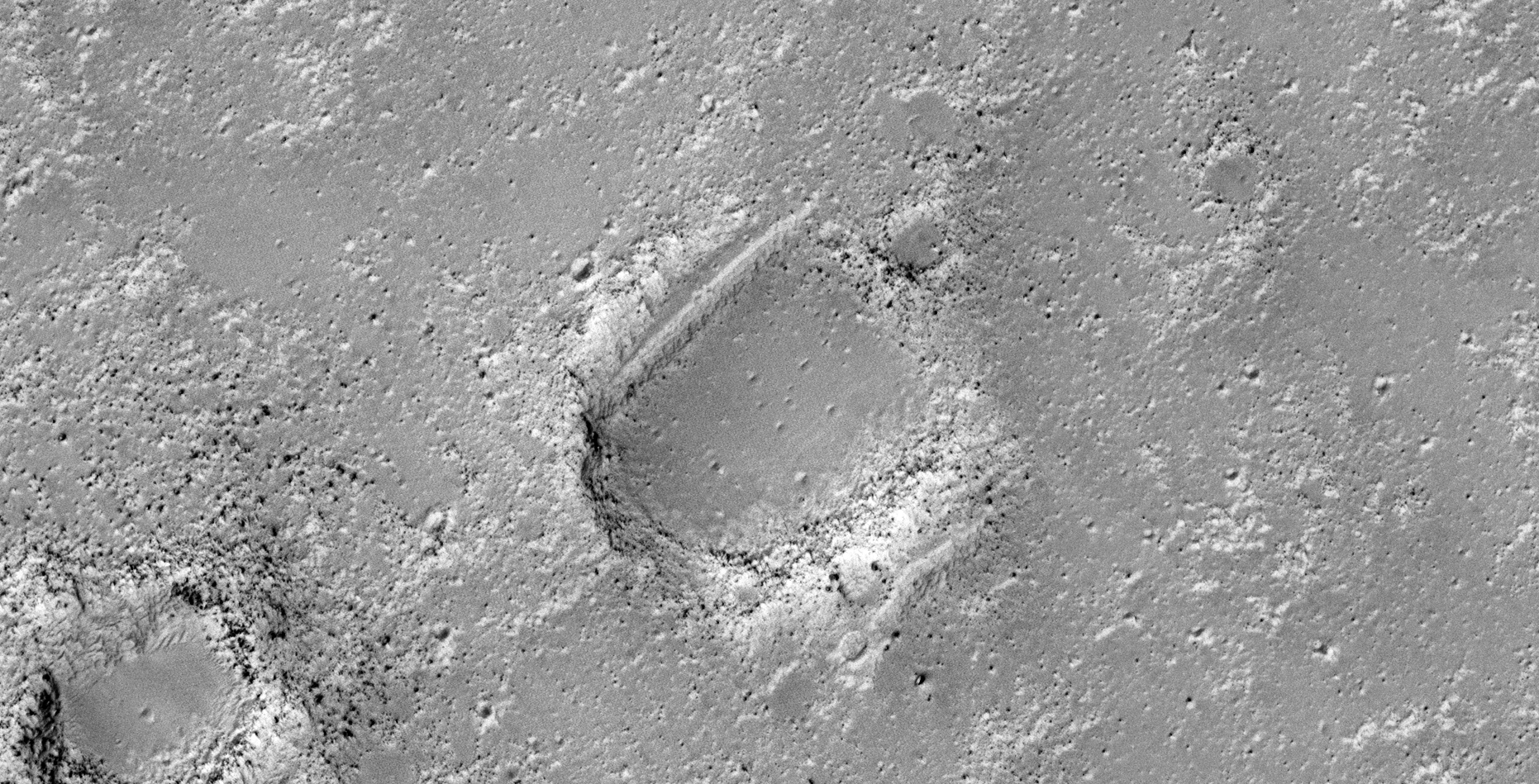
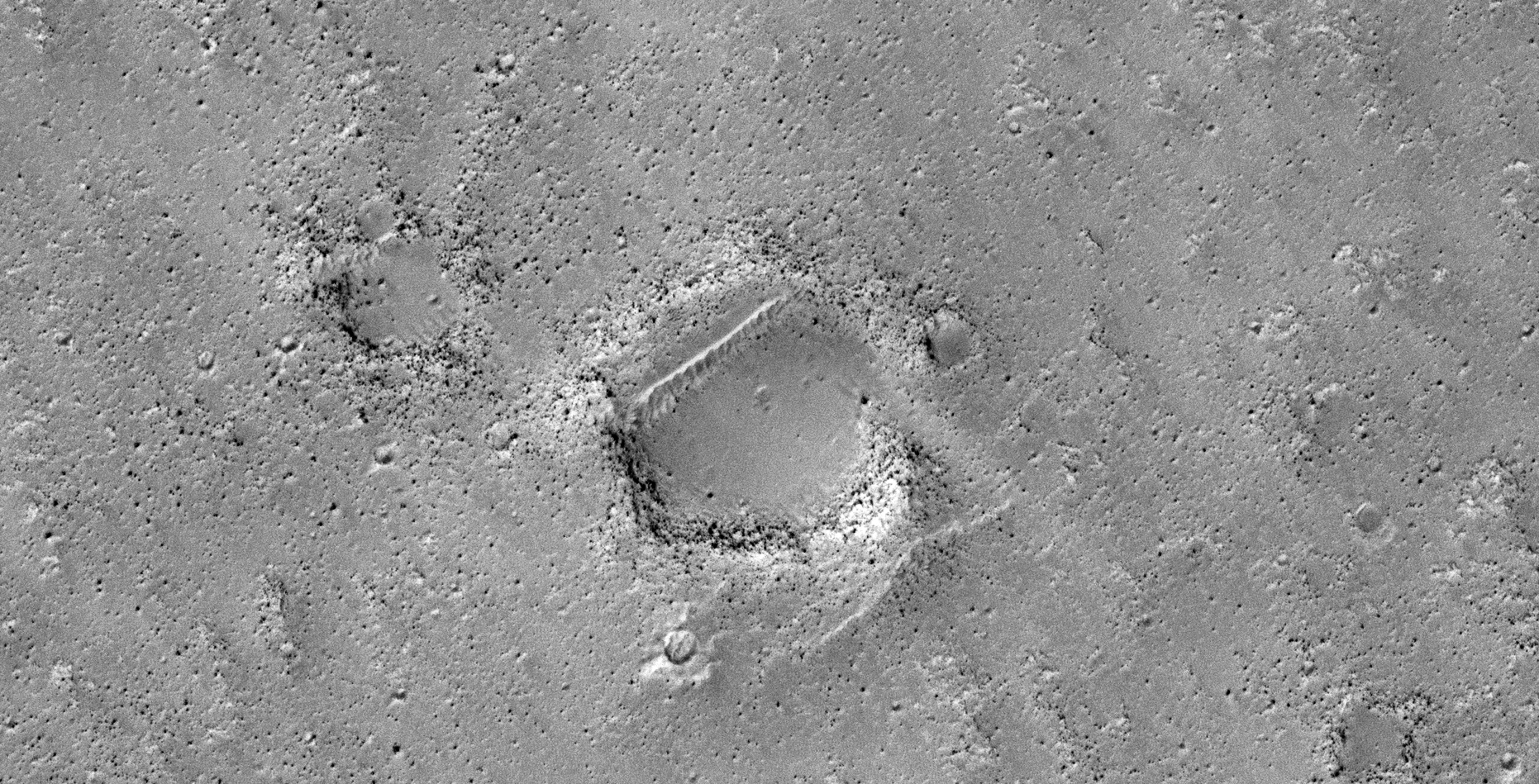
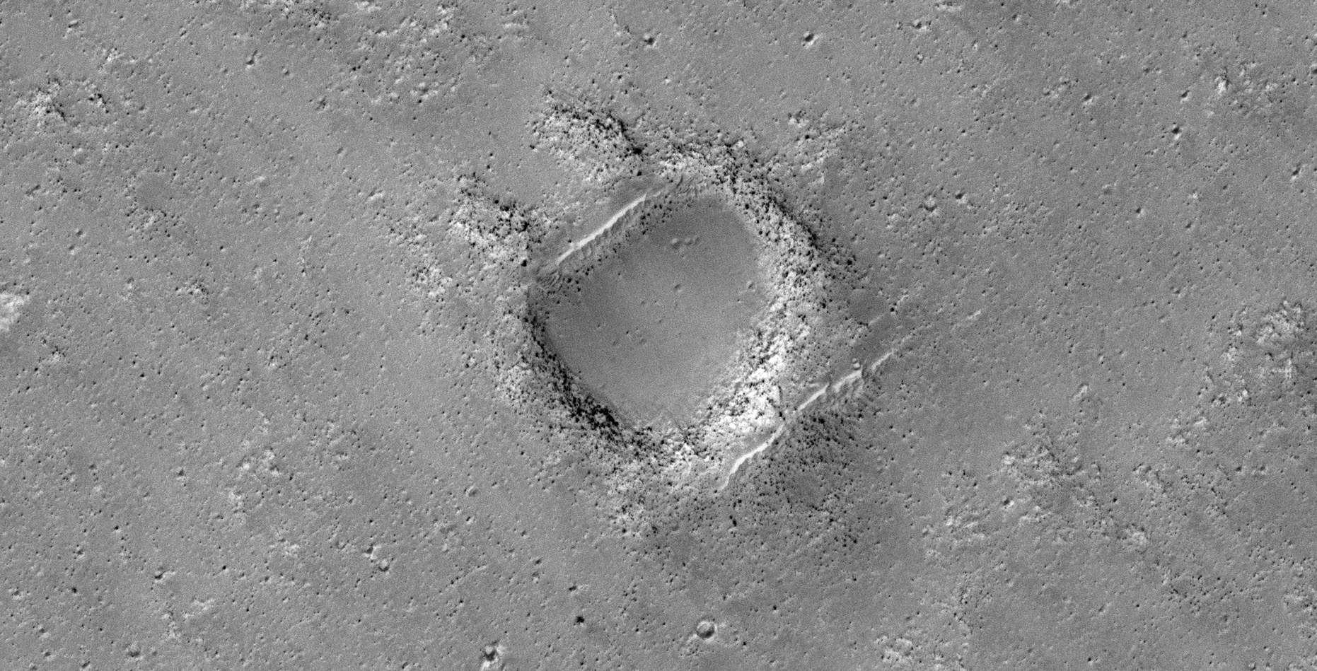
The Megalithic Blocks of Utopia Planitia on Mars:
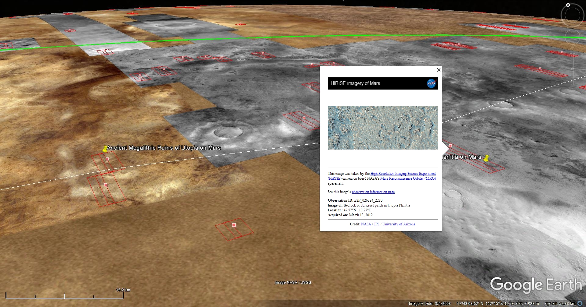


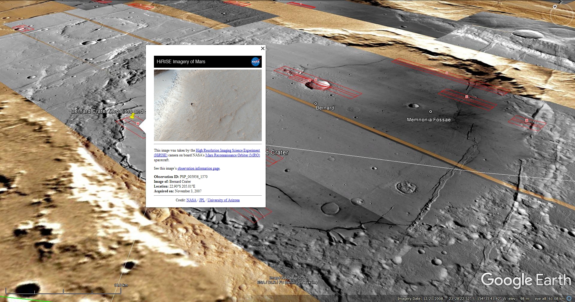
Original NASA source:
https://www.uahirise.org/ESP_026384_2280
Other articles referenced:
https://mars.nasa.gov/insight/multimedia/raw-images/
https://photojournal.jpl.nasa.gov/catalog/PIA11746
My YouTube video featuring ‘The Megalithic Blocks of Utopia Planitia on Mars (InSight Update):’
Subscribe to my YouTube channel and turn on Notifications to receive updates when I upload new video’s.
Links to all my other sites:
https://www.youtube.com/JeanWard (Mars anomalies)
https://mars.raptorzone.co.za (Mars anomalies)
http://www.raptorzone.co.za (my website)
http://wxsat.raptorzone.co.za (weather satellites)
https://twitter.com/raptorzn_ (@RaptorZN_)
https://www.facebook.com/JeanWardMarsAnomalies (Facebook)
http://blog.raptorzone.co.za (social and political issues)
Disclaimer:
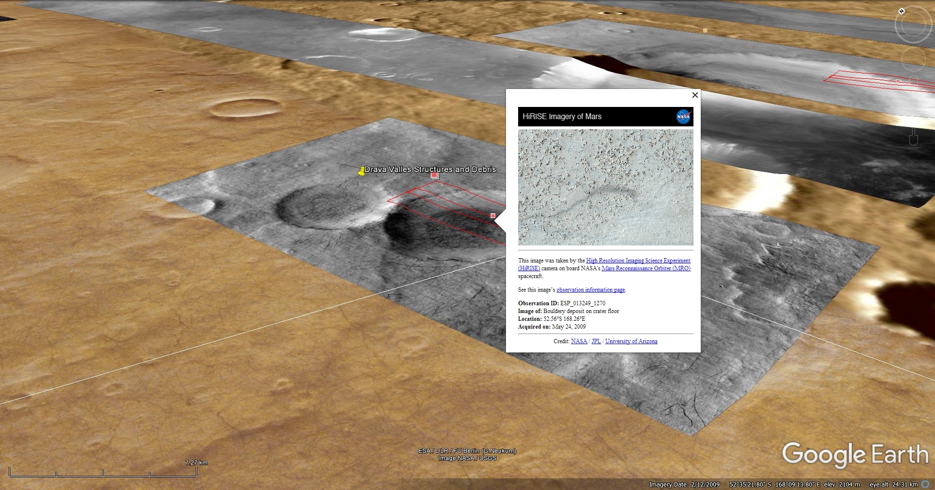
Images saved from within HiView or CTX viewer do not include image scale indicators. The image scale indicators I include in images are based on the official resolutions provided by NASA and although I strive to be as accurate as possible there may be slight deviations from the actual scale. Image scale indicators are included as a size approximation tool only.
Geometry lines are mapped as accurately as possible using the limited information, data and mapping tools available at the time, therefore the lines may deviate from target sites by a few kilometres. Revisions may be made in the future as new, more precise information, data and mapping tools become available.
Many or all of the anomalies/artefacts covered in this presentation may be naturally occurring geological features caused by some type of geological processes, however due to the lack of specific information from the source we can only speculate whether these are all natural or some artificial in nature.
In cases where I say an anomaly looks like something I’m attempting to clarify what I see and not specifically that the anomaly is what I say it looks like.
My intention is only to share anomalies I’ve discovered on Mars and not to convince anyone that there is or was a civilization on Mars.
As Will Farrar from WhatsUpInTheSky says: “I see what I see, you see what you see.”