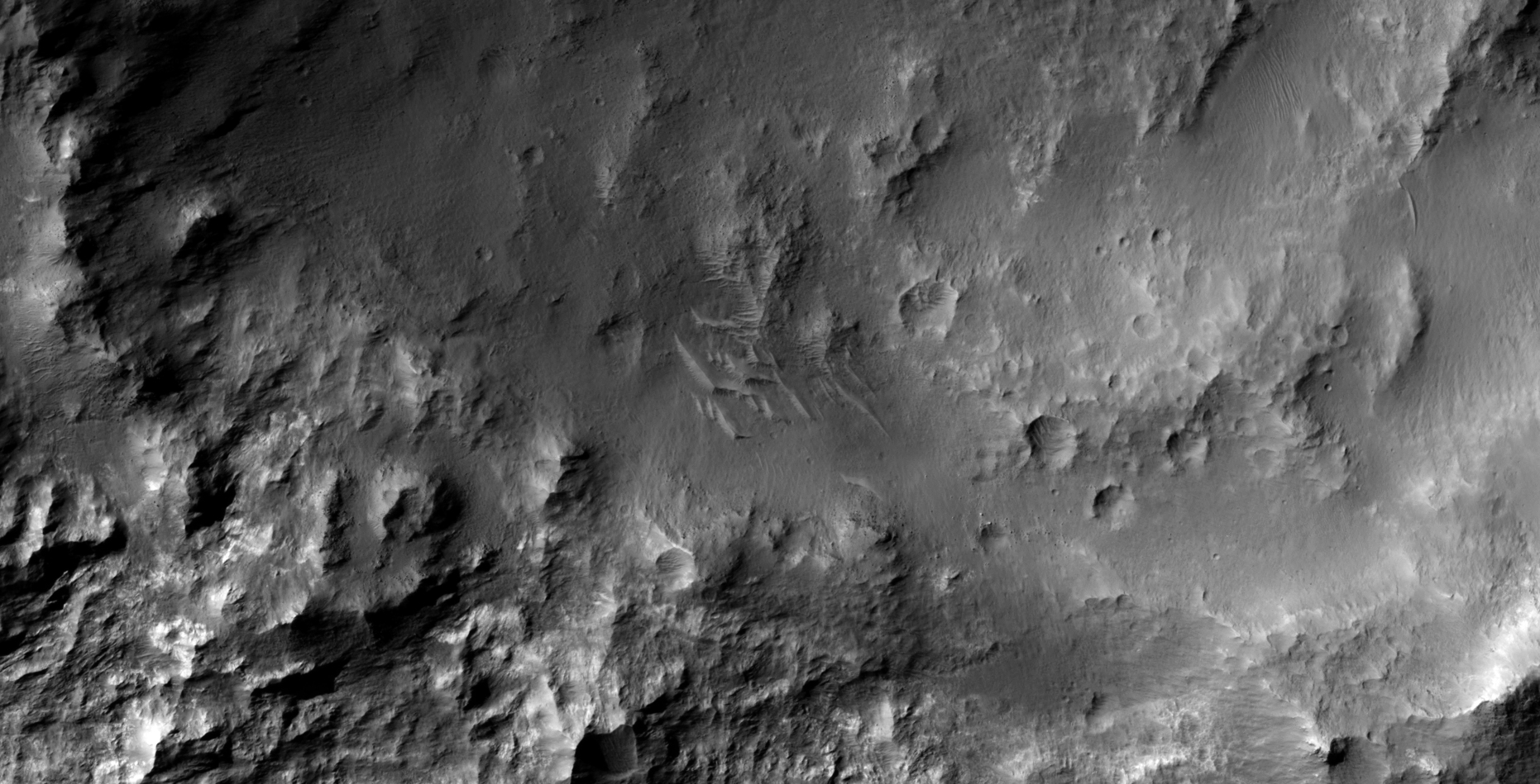
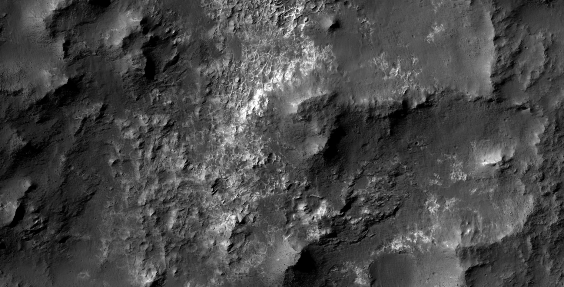
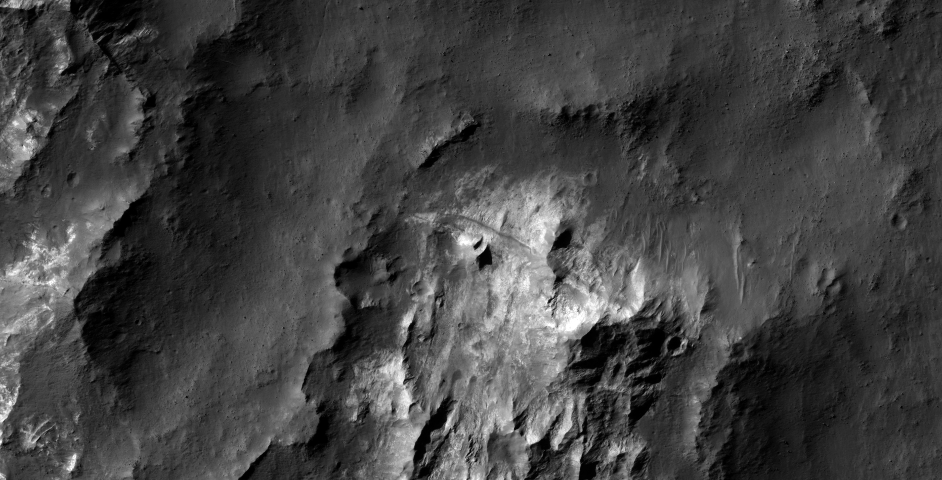
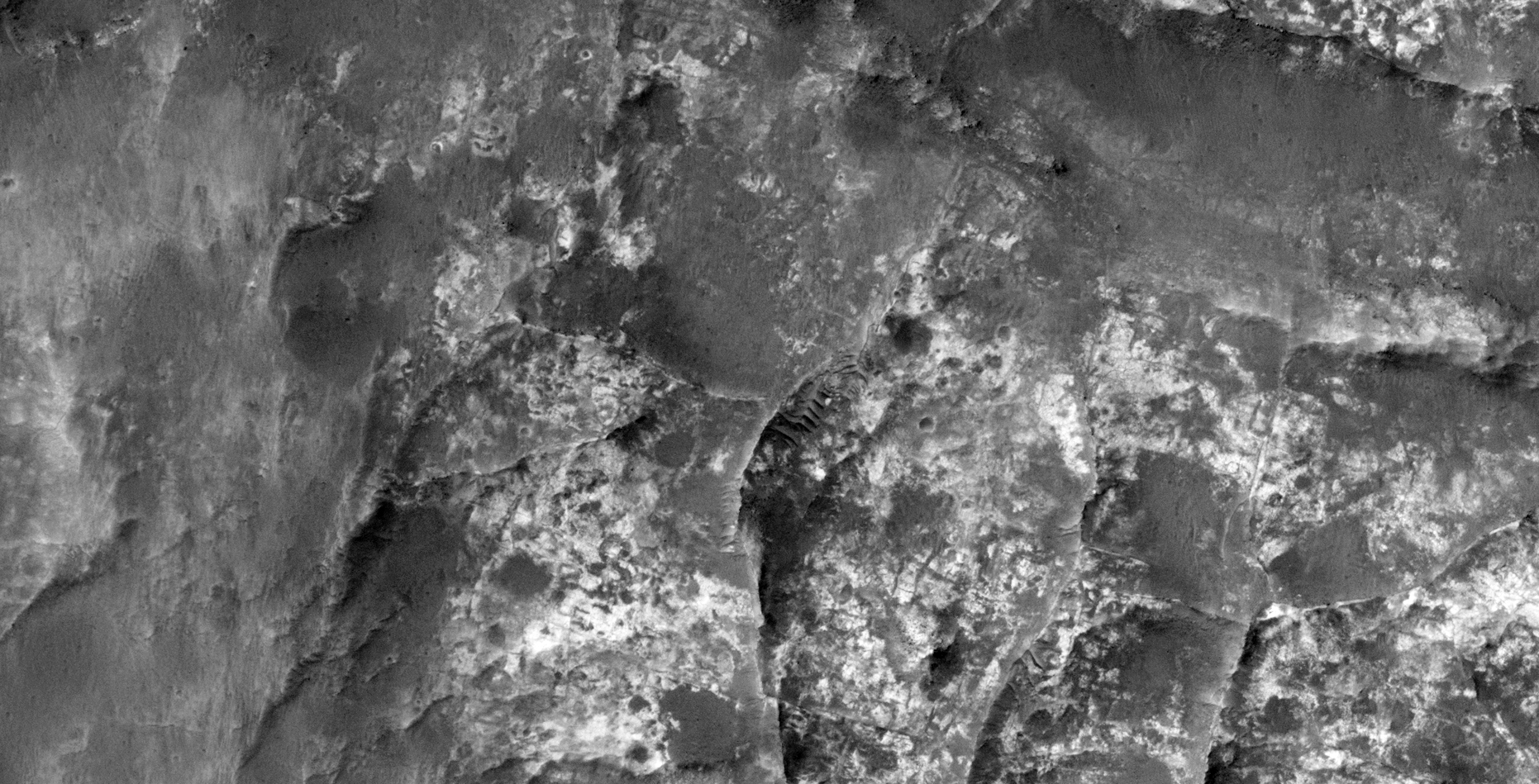
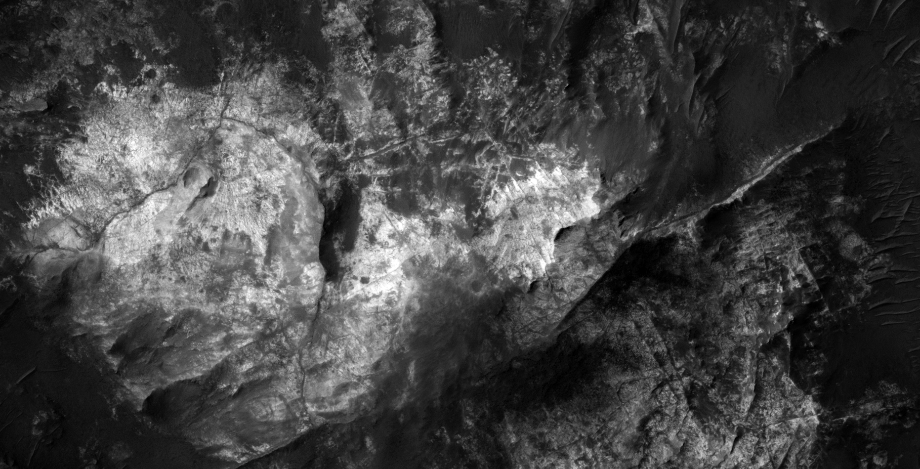
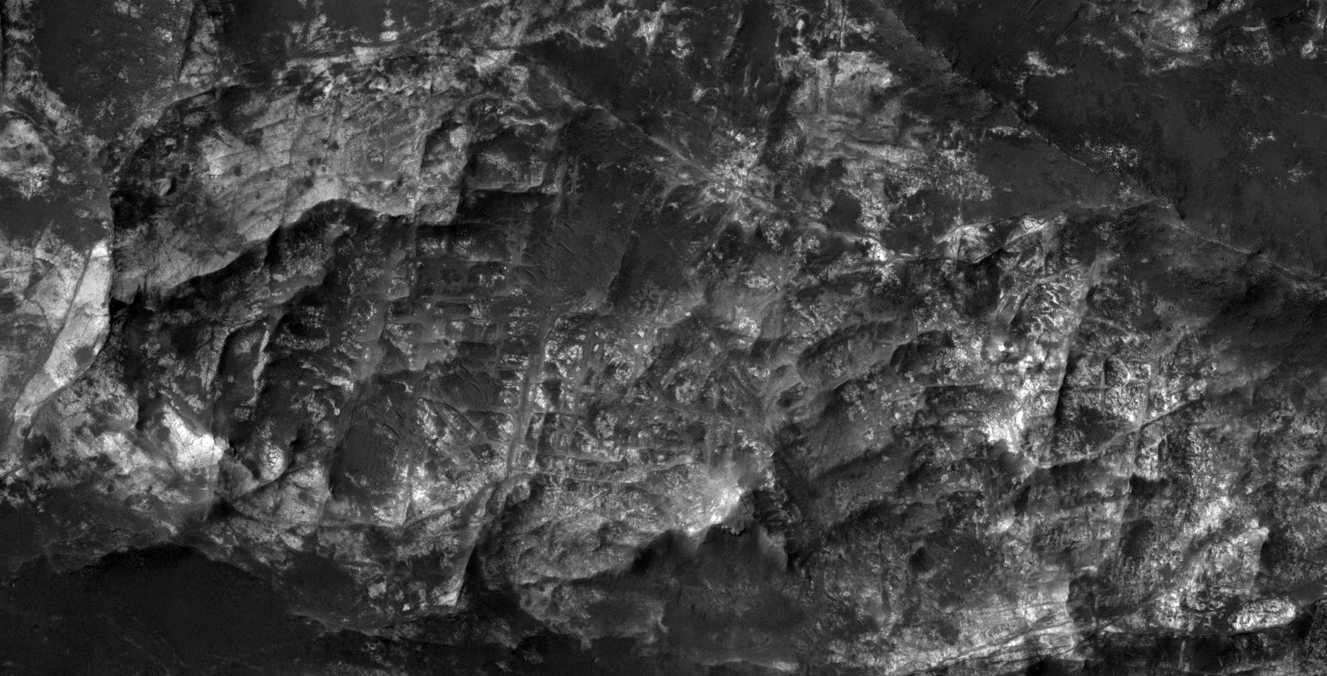
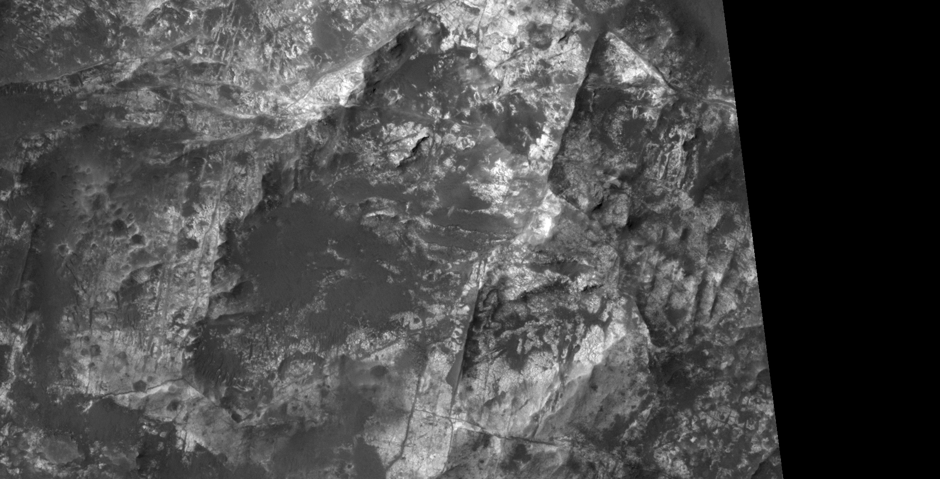
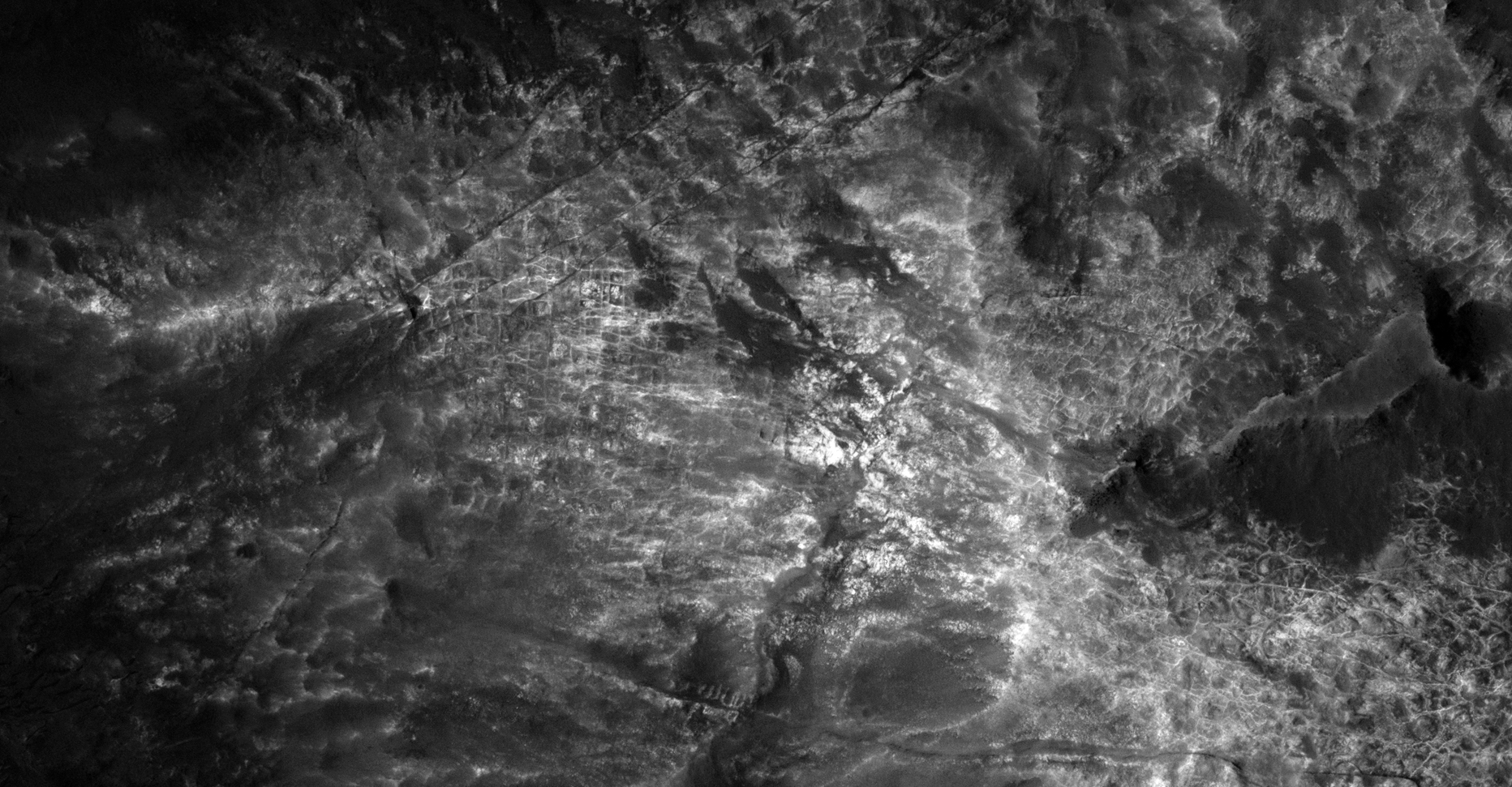
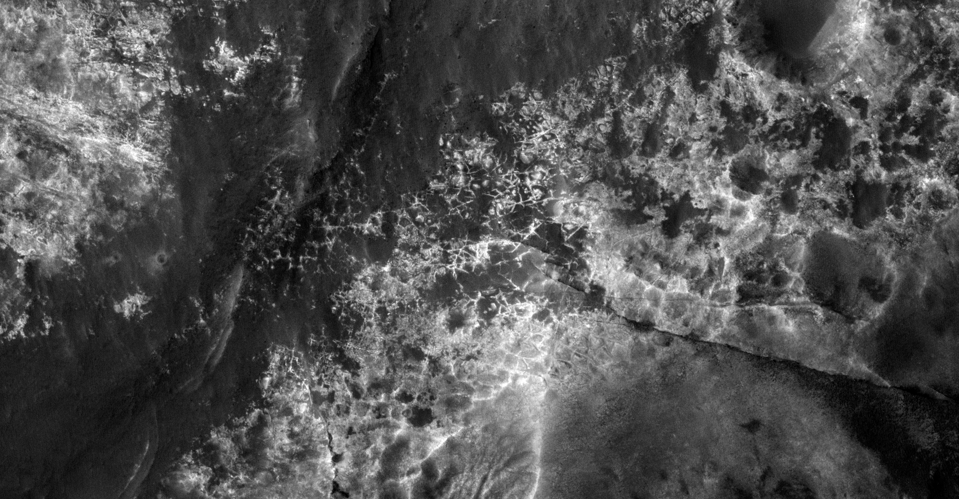
This photograph (ESP_019103_1460) was taken by NASA’s Mars Reconnaissance Orbiter (MRO) HiRISE Camera on 24 August 2010.
NASA describes this photograph as “Iron and Magnesium Clays in and near Atlantis Chaos.”
I discovered some more strange anomalies in this HiRISE photo, these include what look like a creature, craft debris, underground entrance-way, ventilation system, ancient city ruins, more grid-like features, destroyed machinery and mining sites.
Pure speculation as always, these anomalies look like something unnatural and are not specifically something unnatural.
I downloaded the HiRise B&W Map-Projected JP2 file to view these anomalies.
Half-buried megalithic slabs? (click for larger image)Crumpled metal and pipes or walls? (click for larger image)Crumpled metal and some kind of debris, maybe an underground entrance-way? (click for larger image)Pipes/walls? (click for larger image)More pipes/debris? (click for larger image)Grid-structure? (click for larger image)Ancient city ruins? (click for larger image)Pyramid/machined mined surface? (click for larger image)Ancient city ruins with temples/monuments? (click for larger image)Craft wing/debris? (click for larger image)Pipes, crumpled metal and debris? (click for larger image)Pipes, crumpled metal and debris? (click for larger image)Pipes, crumpled metal and debris? (click for larger image)Air-vent/underground entrance-way? (click for larger image)Pipes/debris? (click for larger image)Crumpled metal? (click for larger image)‘Creature,’ air-vent or dune? (click for larger image)‘Creature’ with long tentacles? (click for larger image)Crumpled metal/wing? (click for larger image)Crumpled metal/debris? (click for larger image)
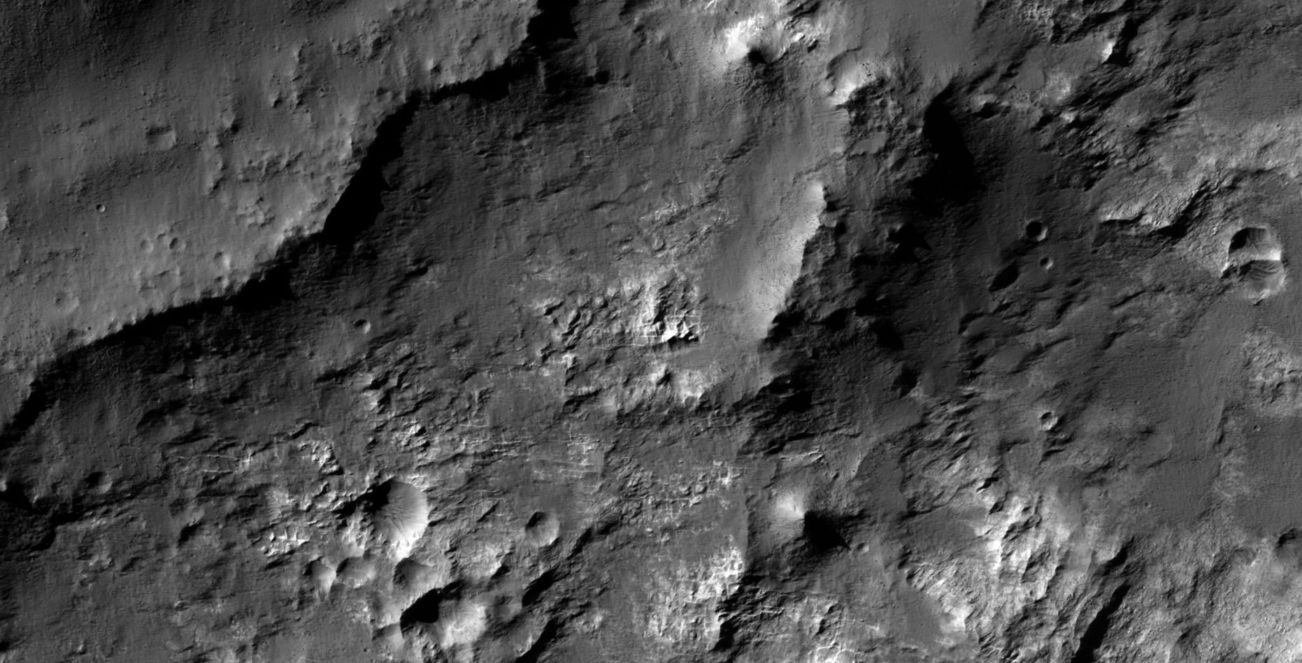
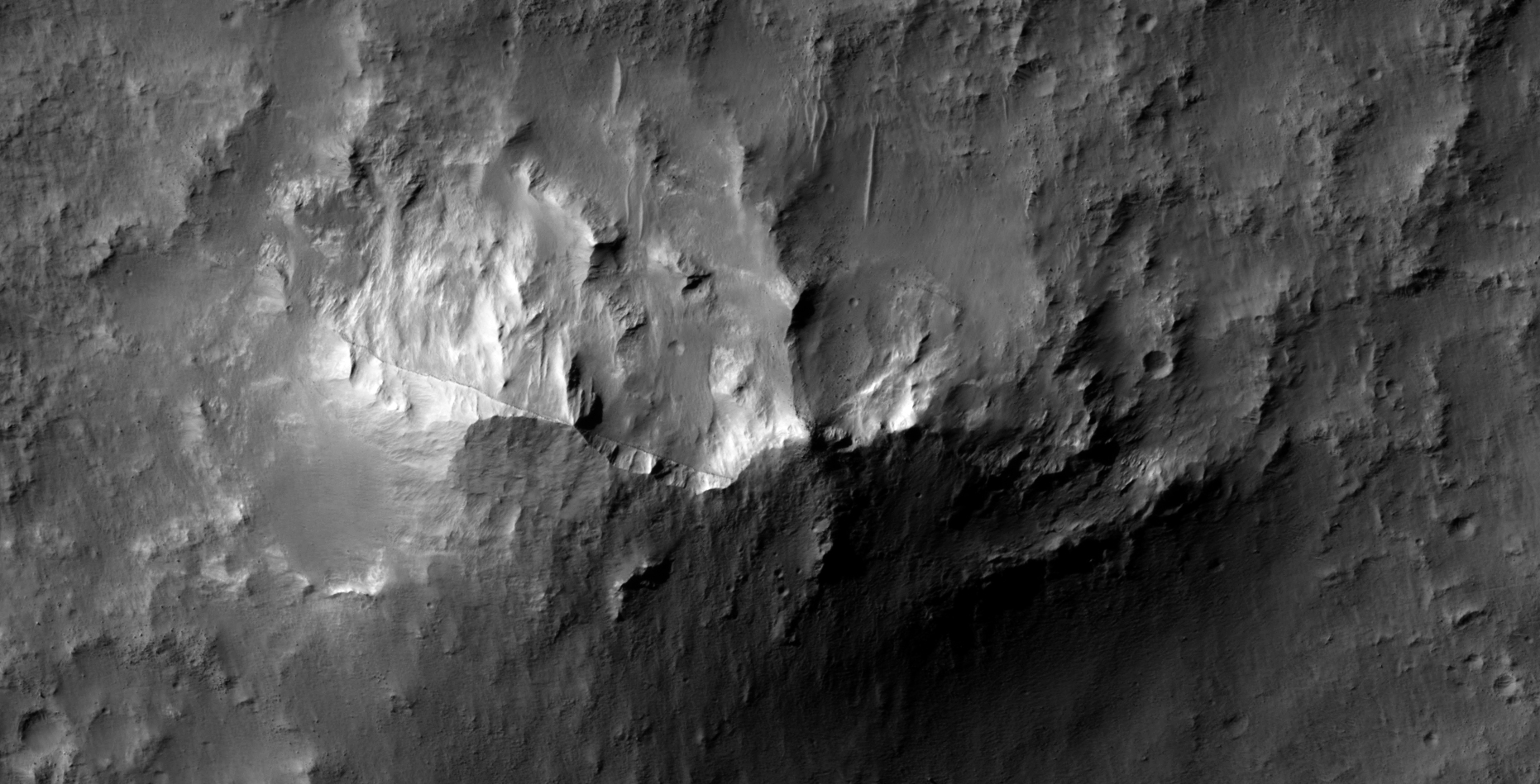
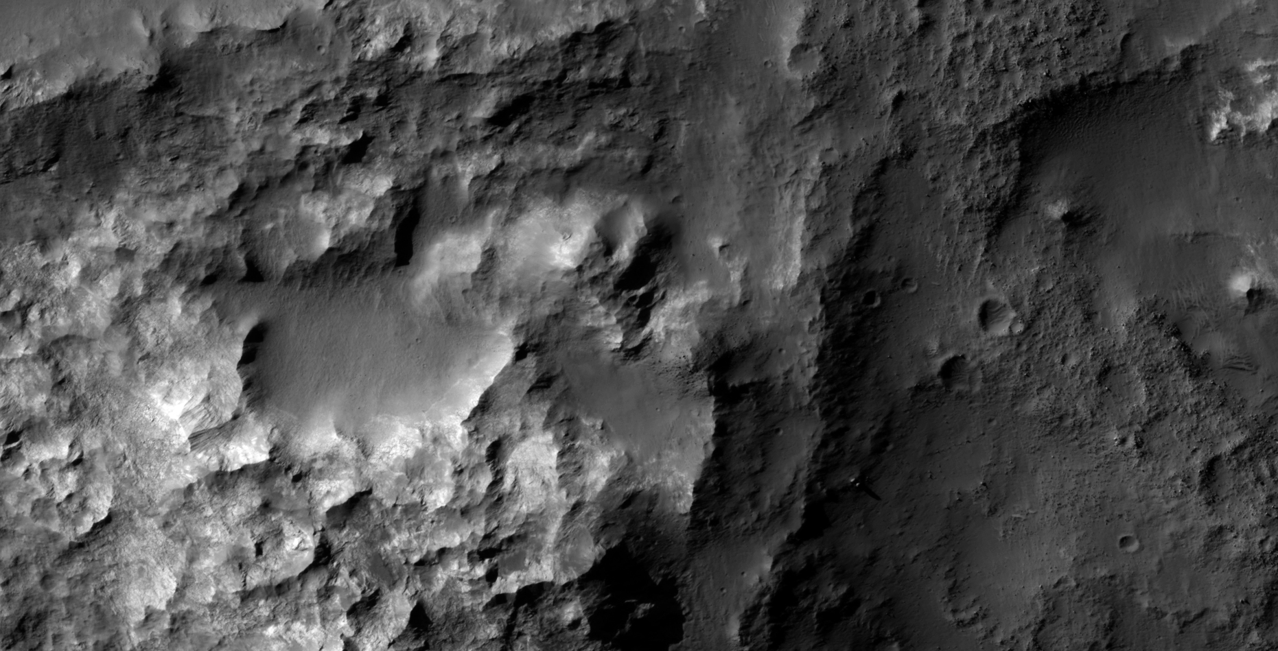
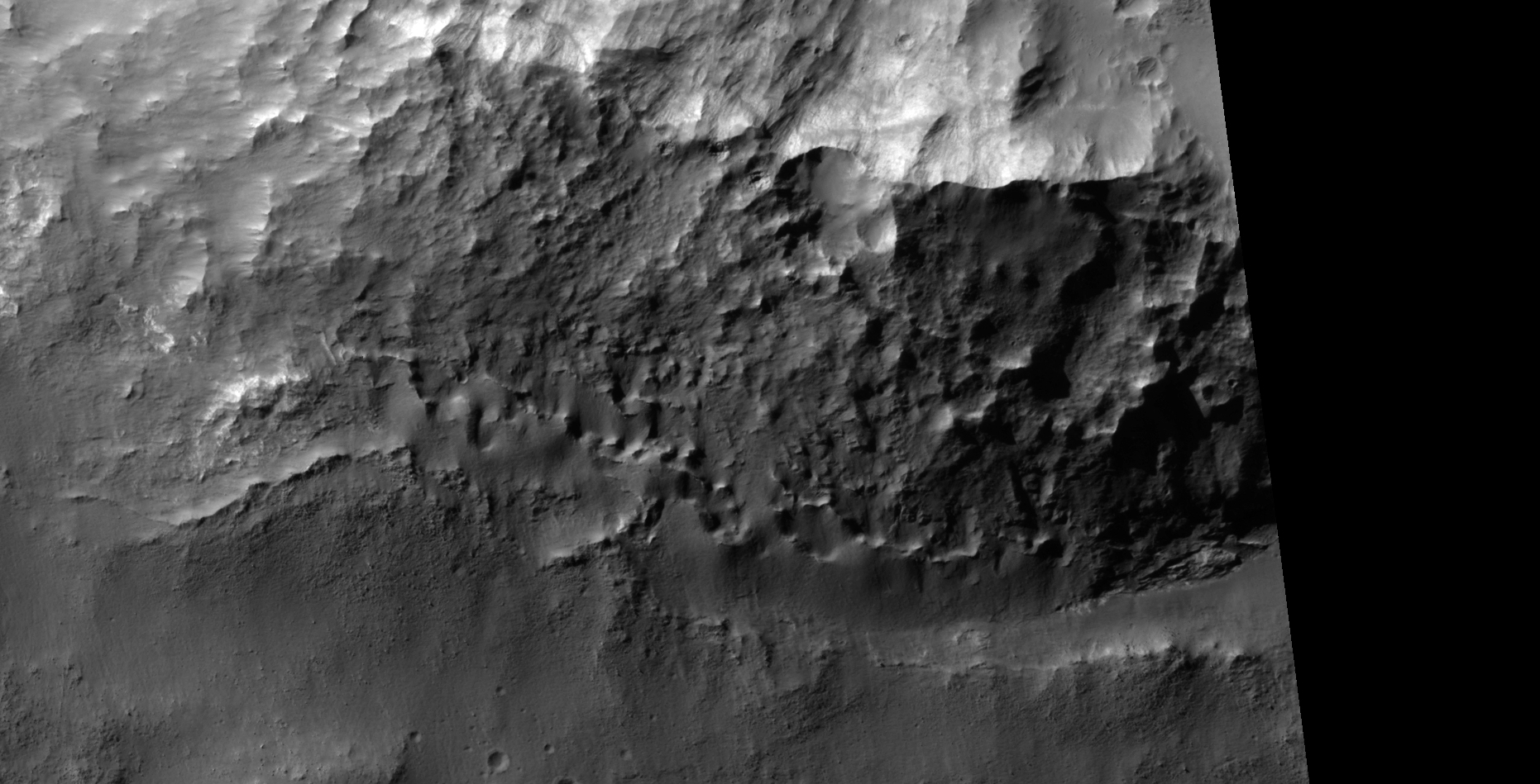
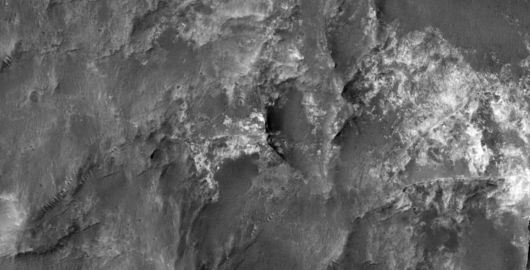
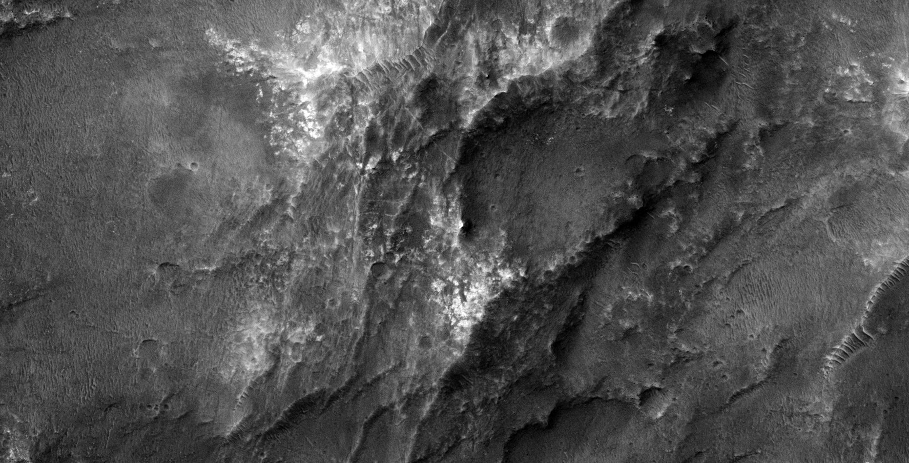
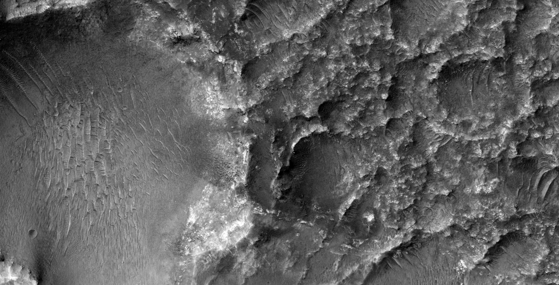
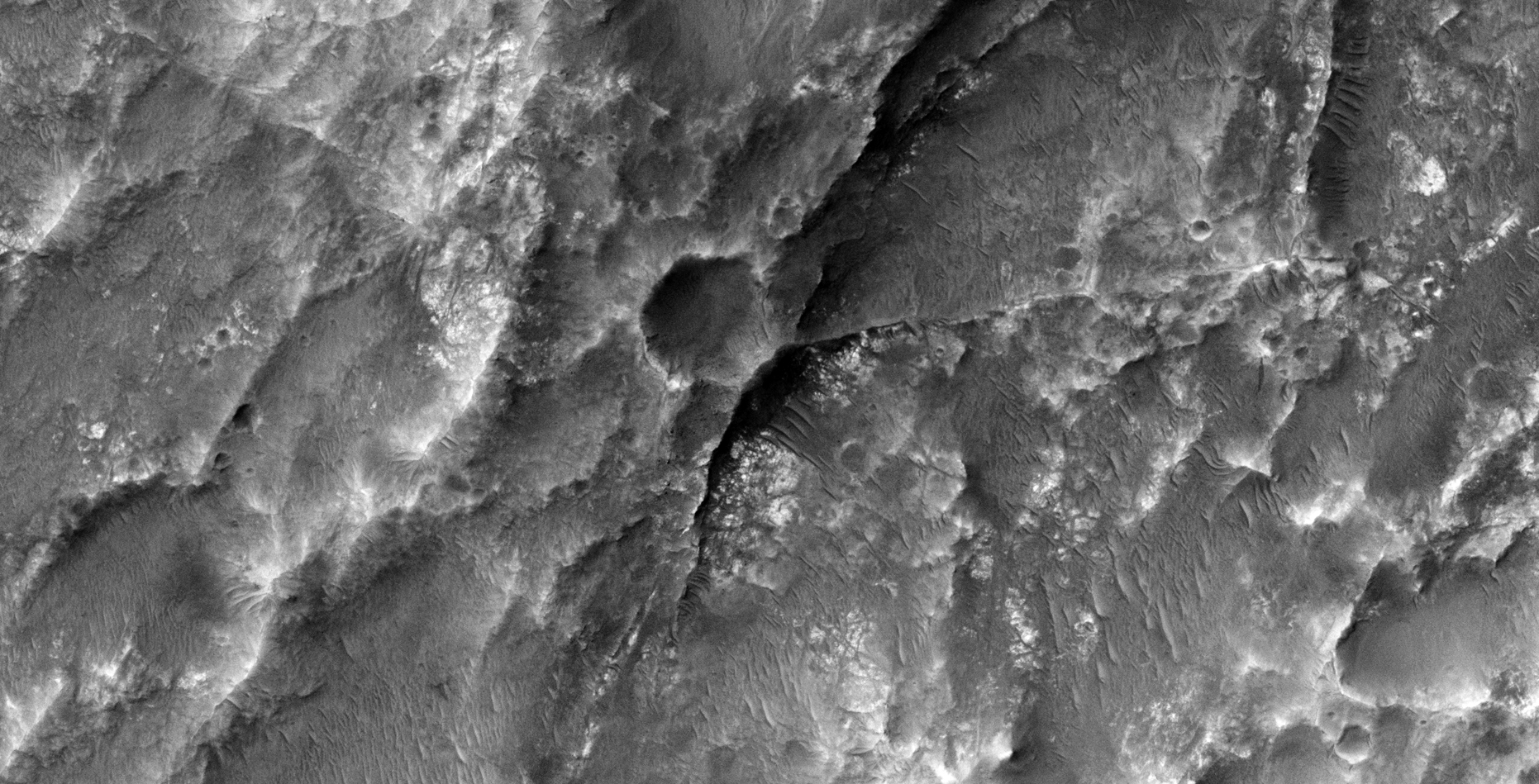
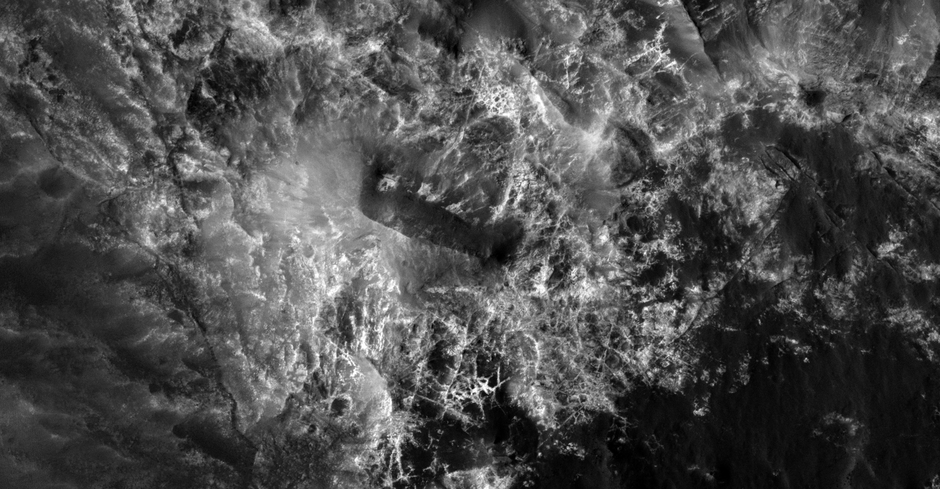
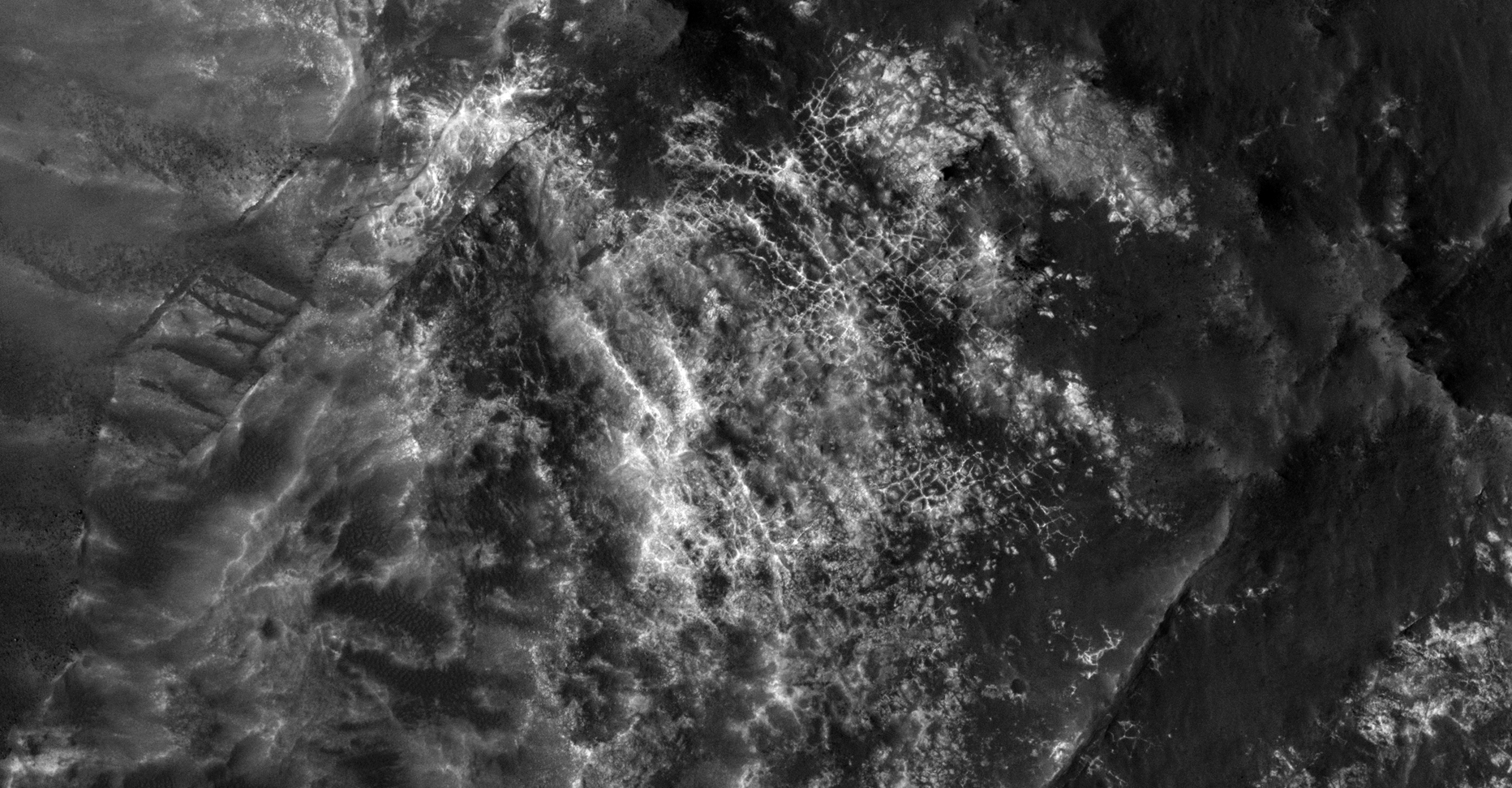
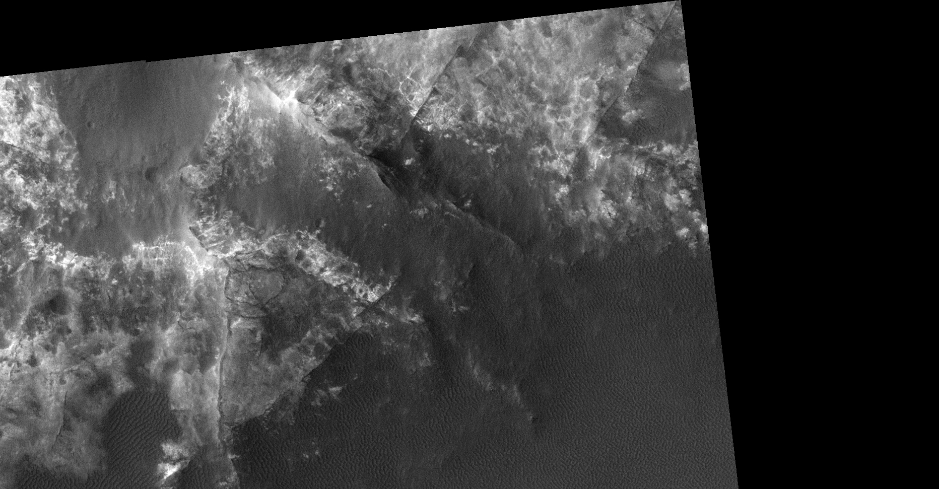
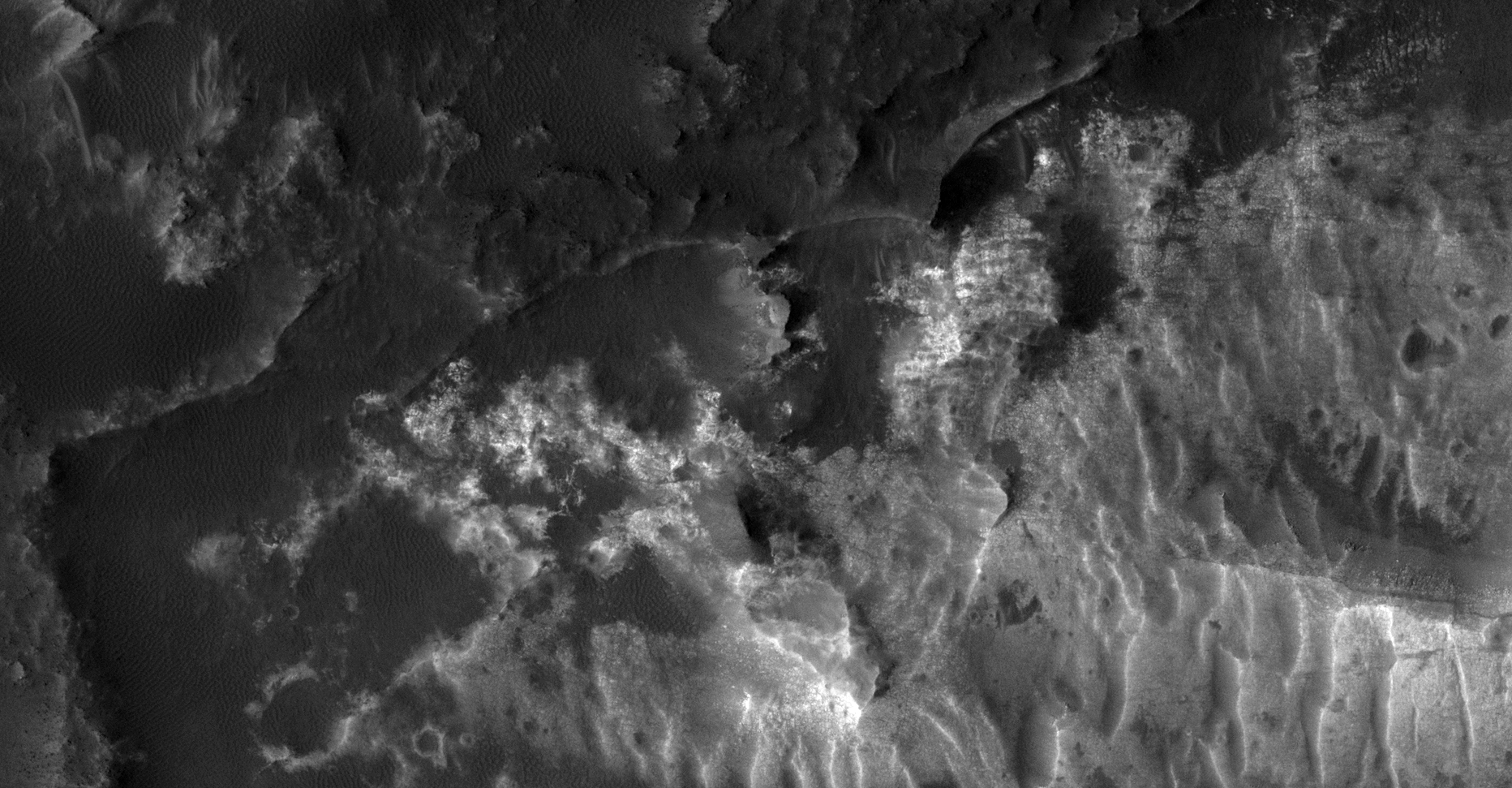
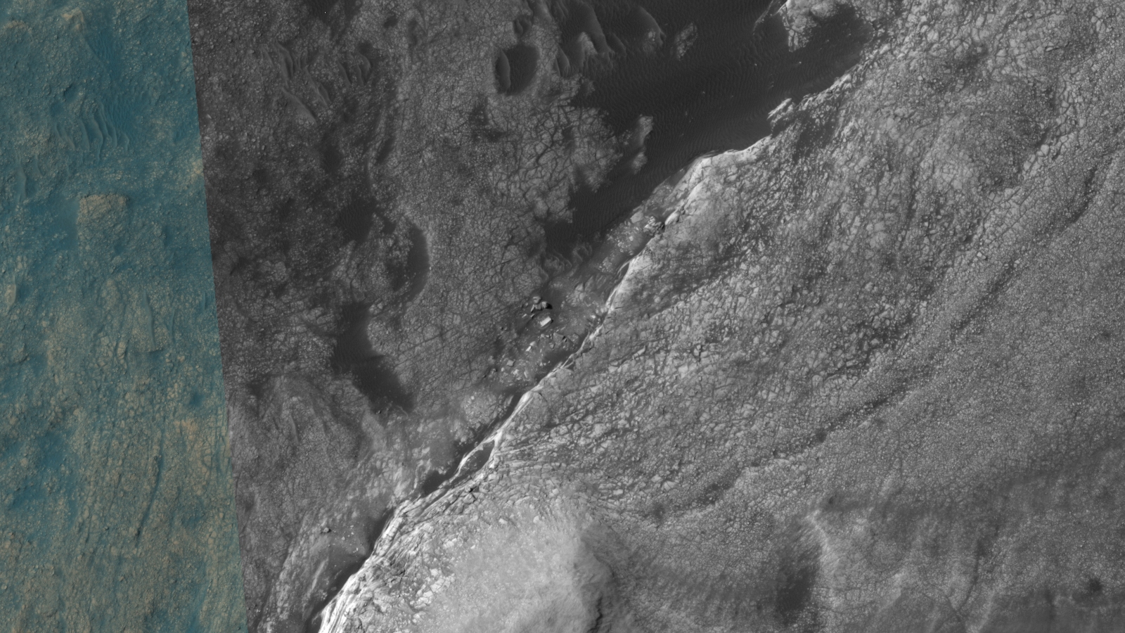
This photograph (ESP_041151_1500) was taken by NASA’s Mars Reconnaissance Orbiter (MRO) HiRISE Camera on 07 May 2015.
NASA describes this photograph as “Ridges and Light-Toned Outcrops North of Atlantis Chaos.”
I discovered what looks like a city with walls, ruins, high-way fly-overs, bridges, transit-hubs, open pit mining quarries, pipes, diamond shapes, pyramids, strange craft and even what appears to be radiation warning symbols carved into the Martian surface?
In my opinion the geometry of the structures is just to prefect and coincidental to be natural.
Pure speculation as always, these anomalies look like something unnatural and are not specifically something unnatural.
‘Radiation warning’ symbols carved into Martian surface (click for larger image)Long wall or pipe? (click for larger image)Air vents or wind traps? (click for larger image)Long narrow walls? (click for larger image)Long narrow pipe or wall? (click for larger image)Saucer craft? (click for larger image)Long narrow wall or pipe? (click for larger image)Transit-hub? (click for larger image)Pyramid structure? (click for larger image)Long pipe? (click for larger image)Triangular craft? (click for larger image)Vegetation growing in a circular pattern? (click for larger image)Long narrow walls? (click for larger image)Grid structure (click for larger image)Self-illuminating sphere or dome? (click for larger image)Transit-hub? (click for larger image)‘Highway fly-over/bridge?’ (click for larger image)Diamond shaped structure? (click for larger image)Grid structure (click for larger image)Open pit mining quarry? (click for larger image)‘Worm’ coming out of hole? (click for larger image)
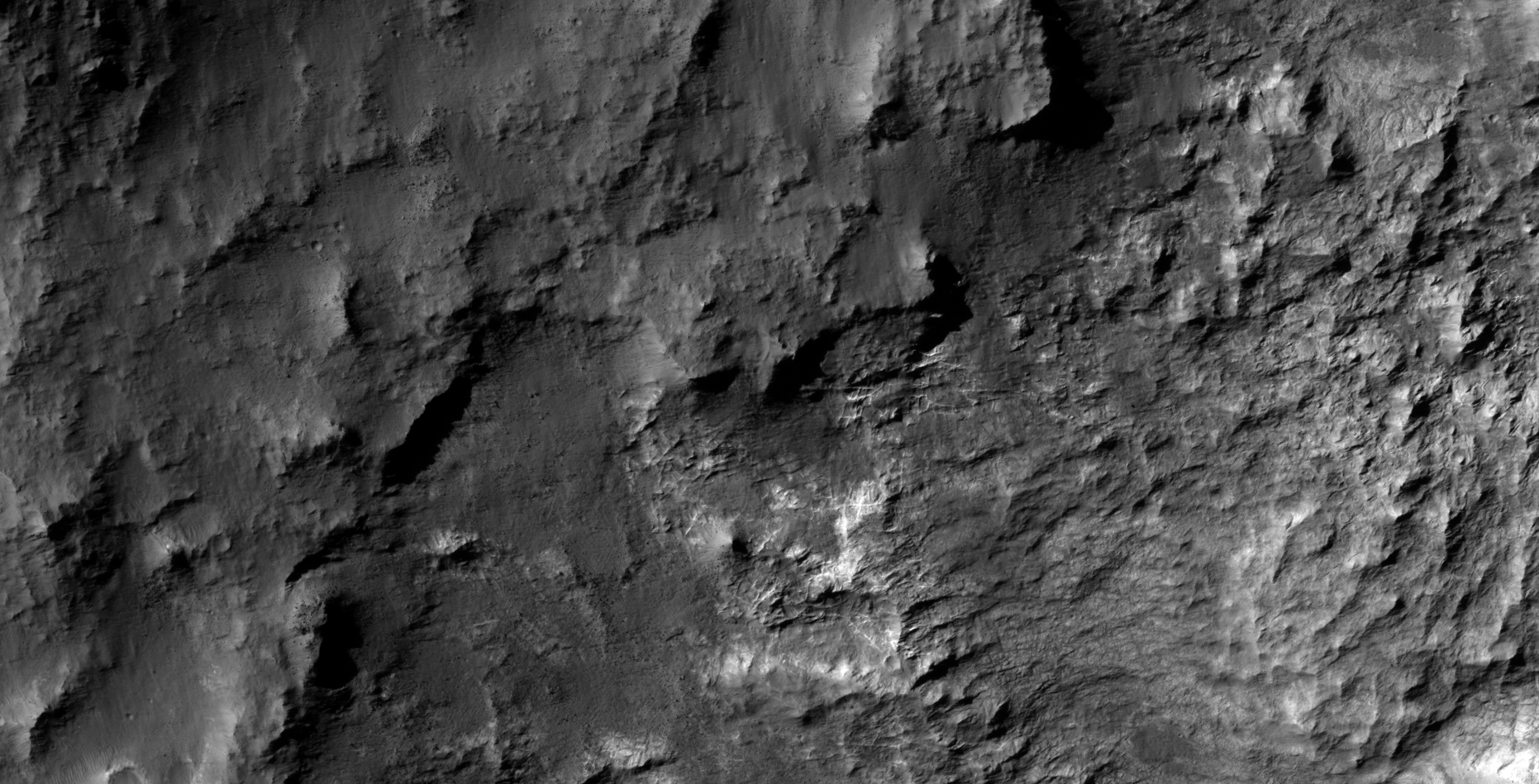
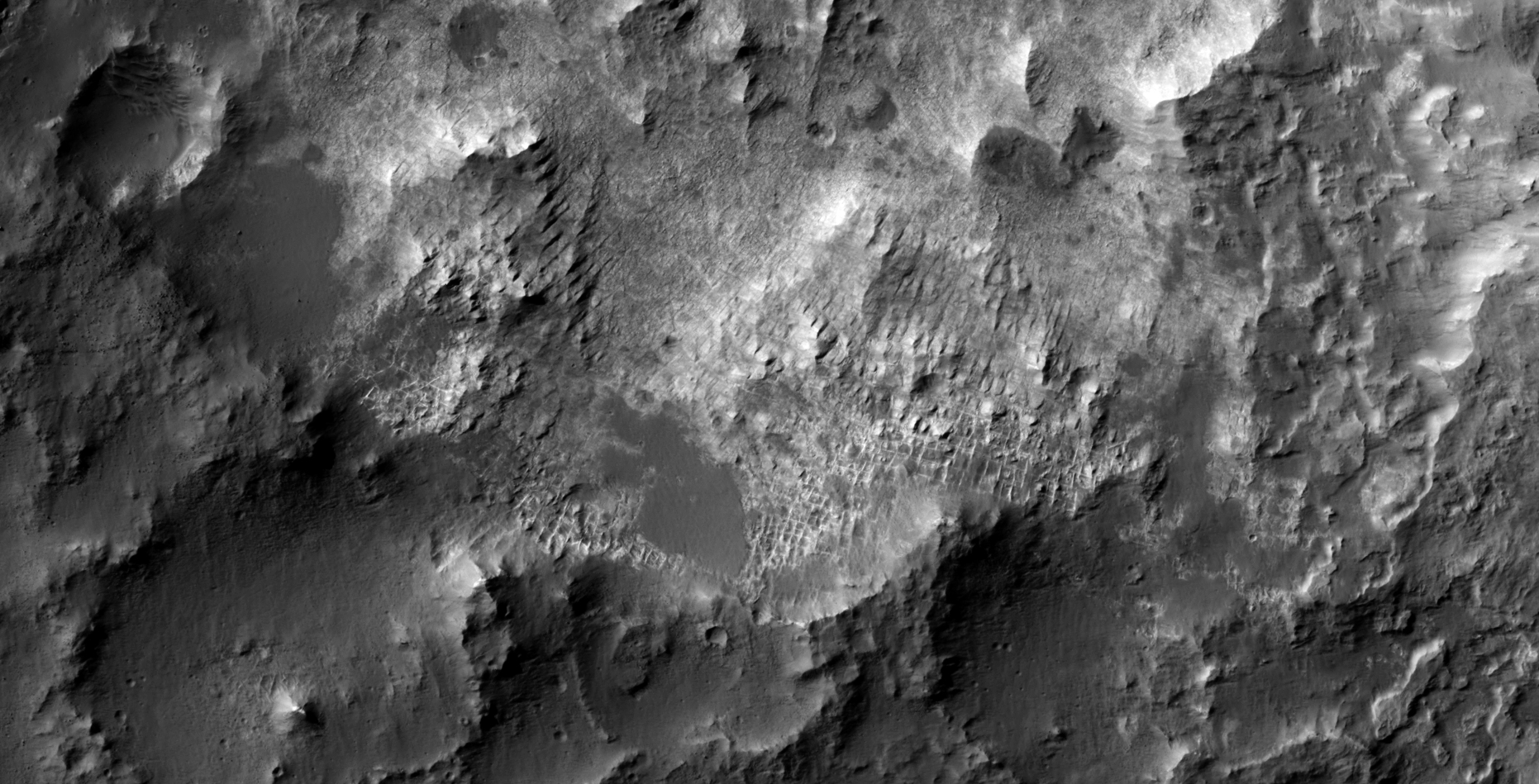
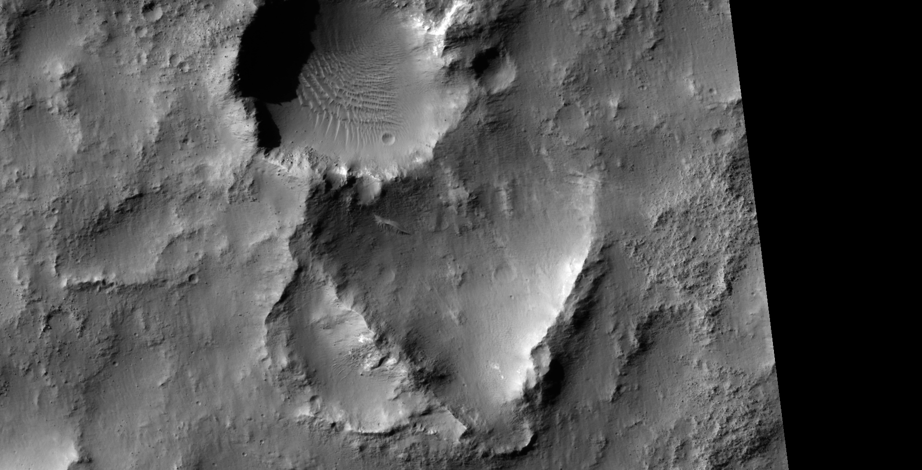
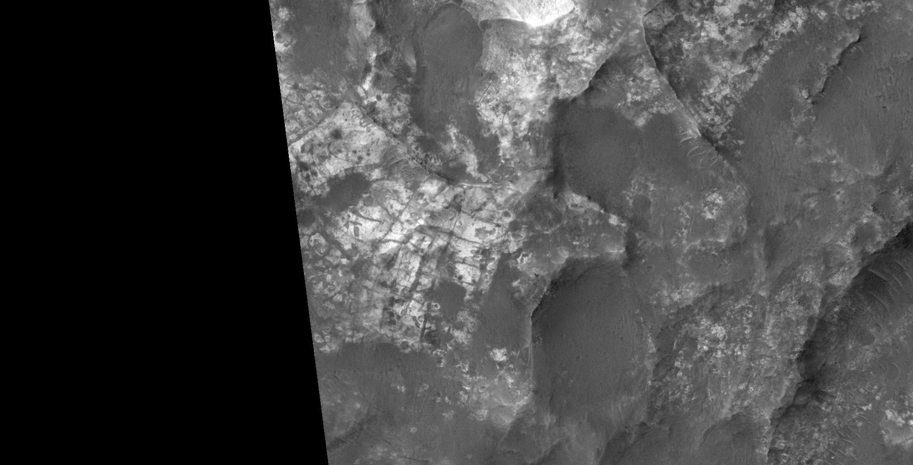
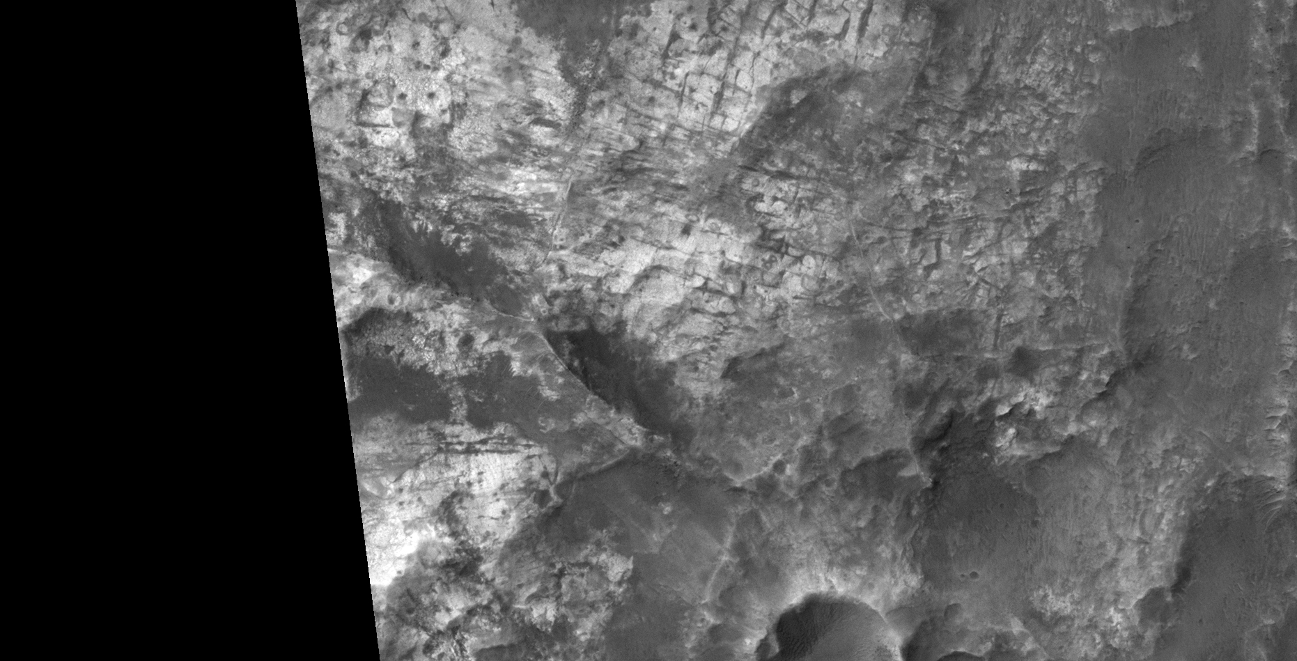
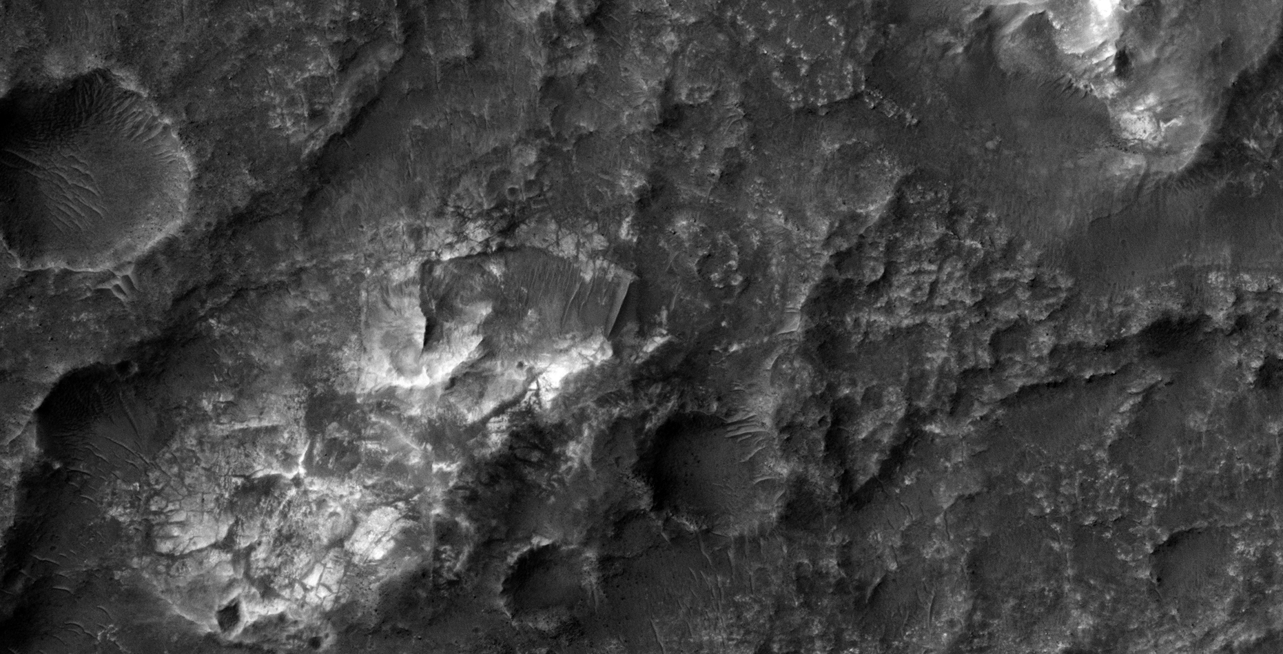
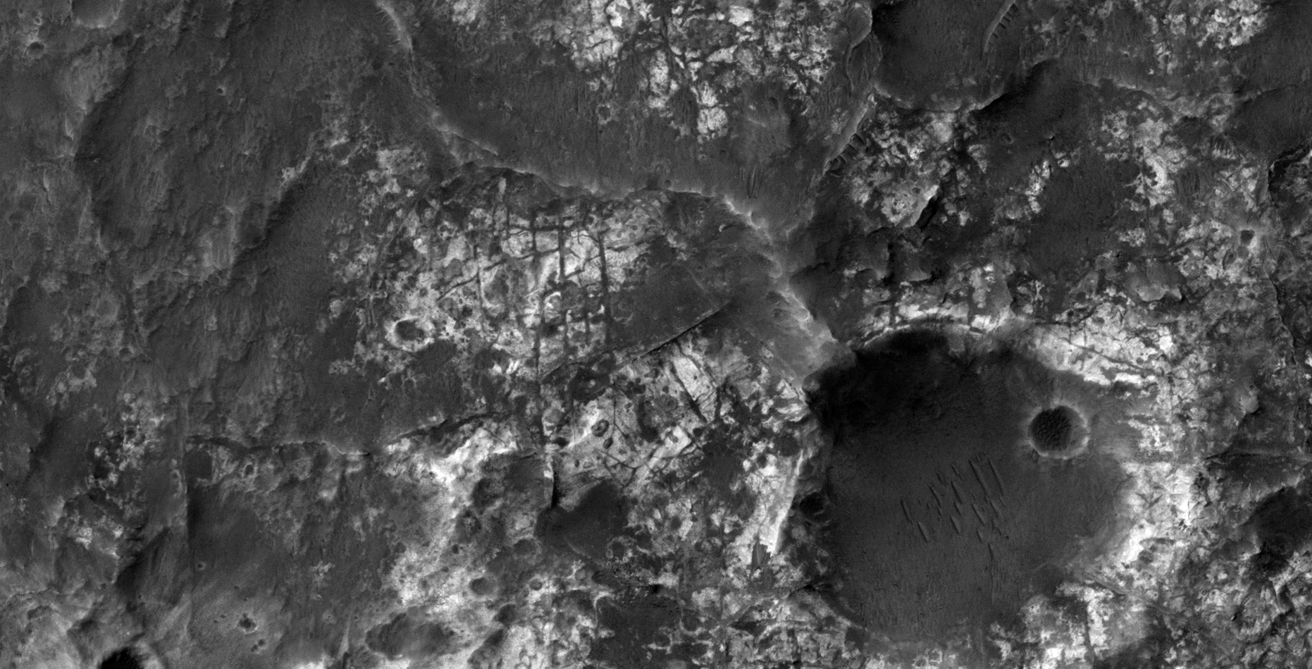
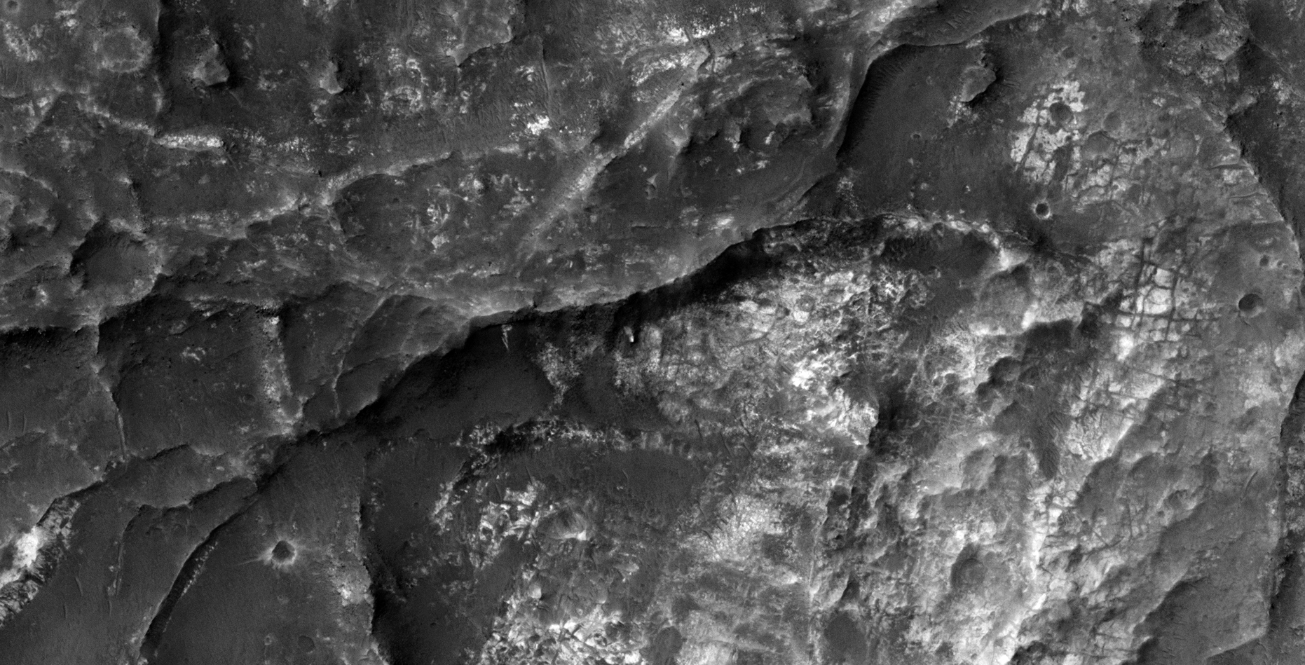
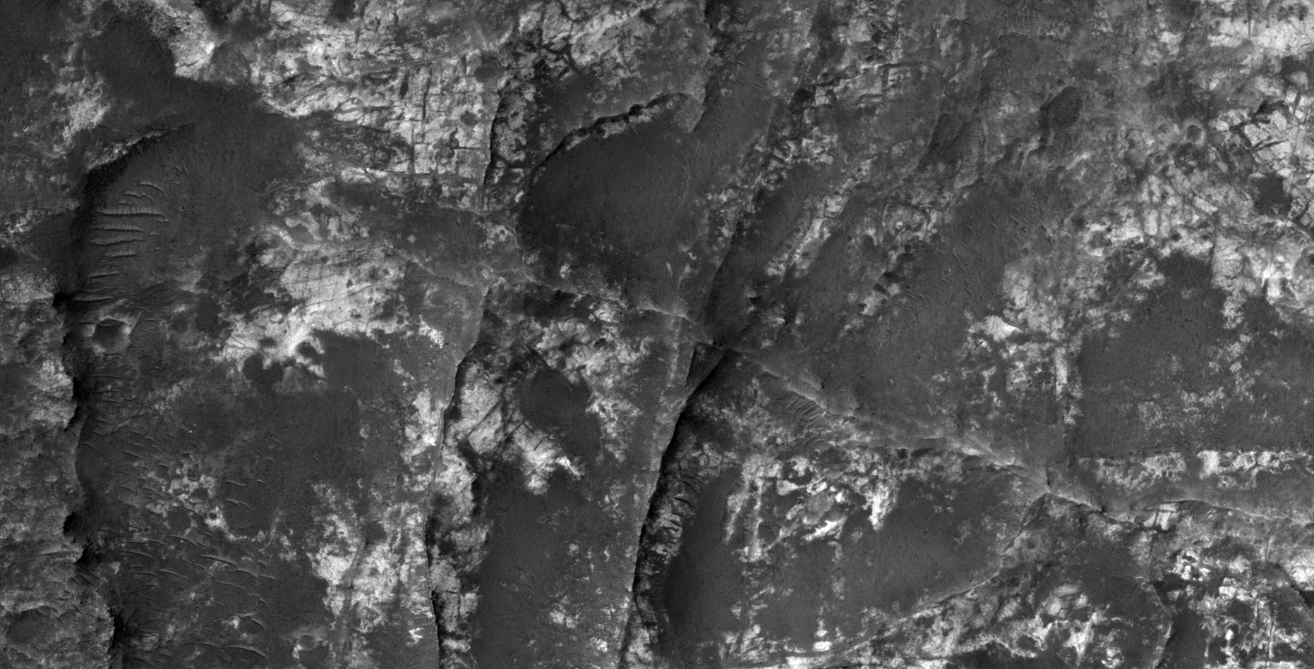
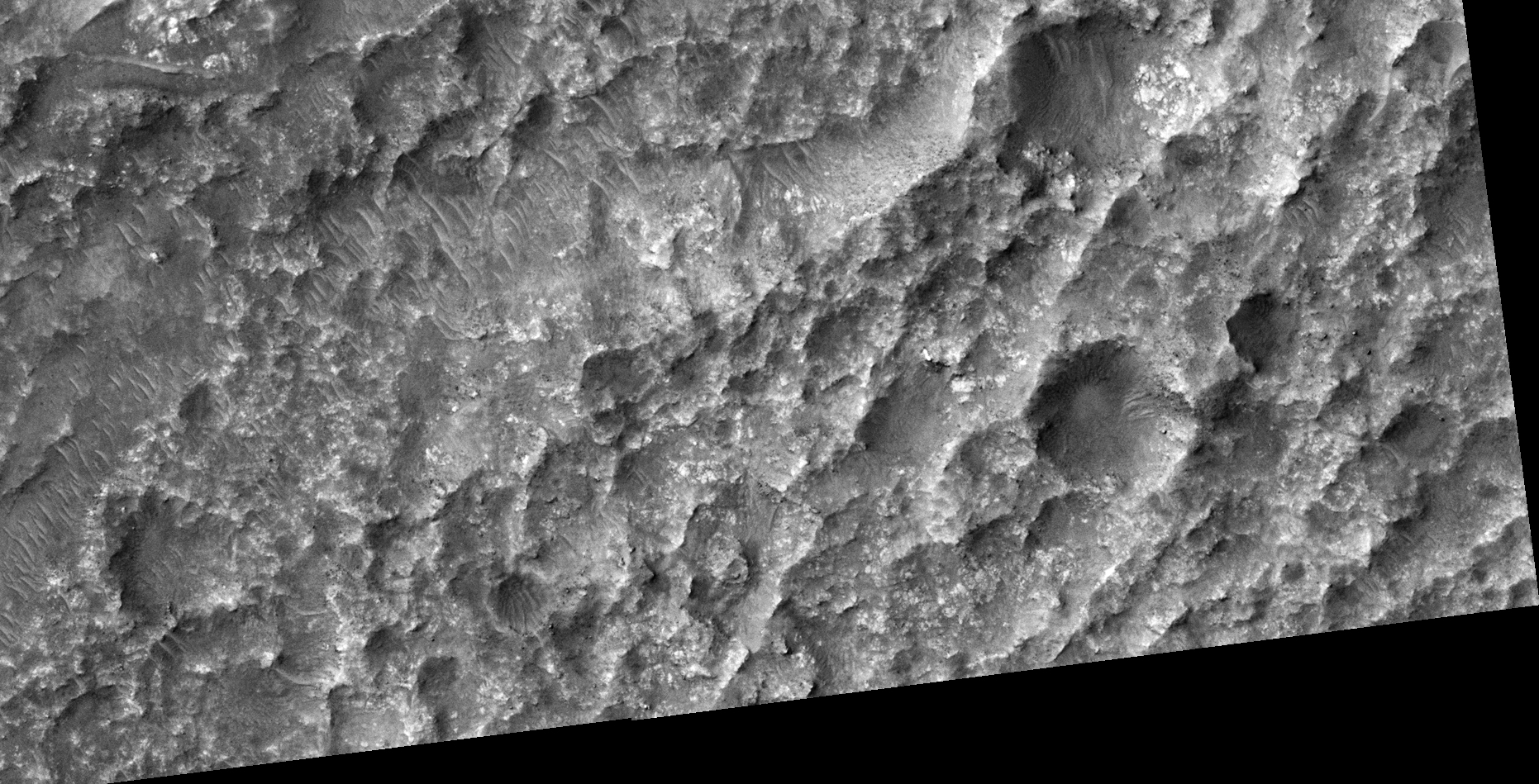
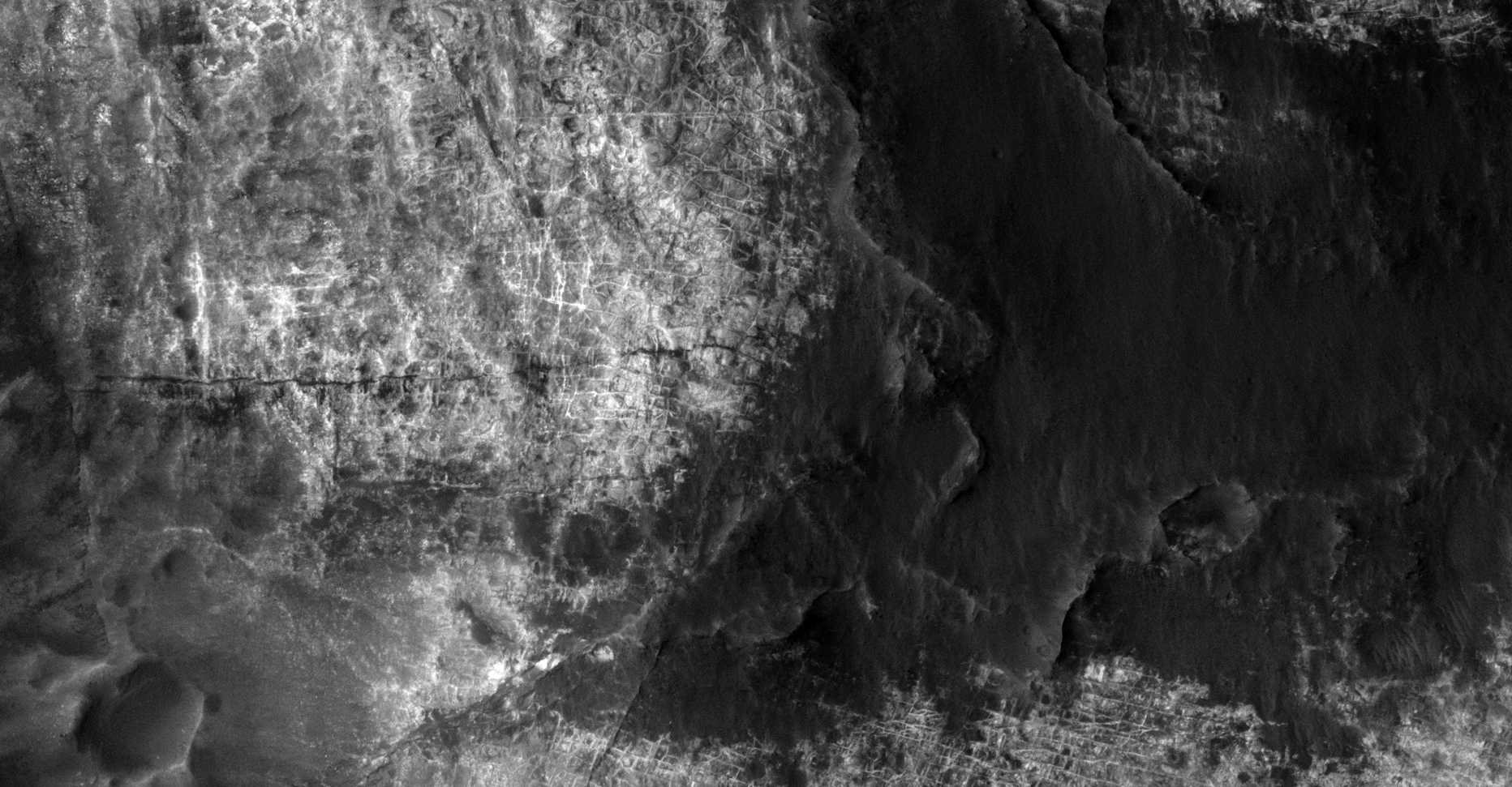
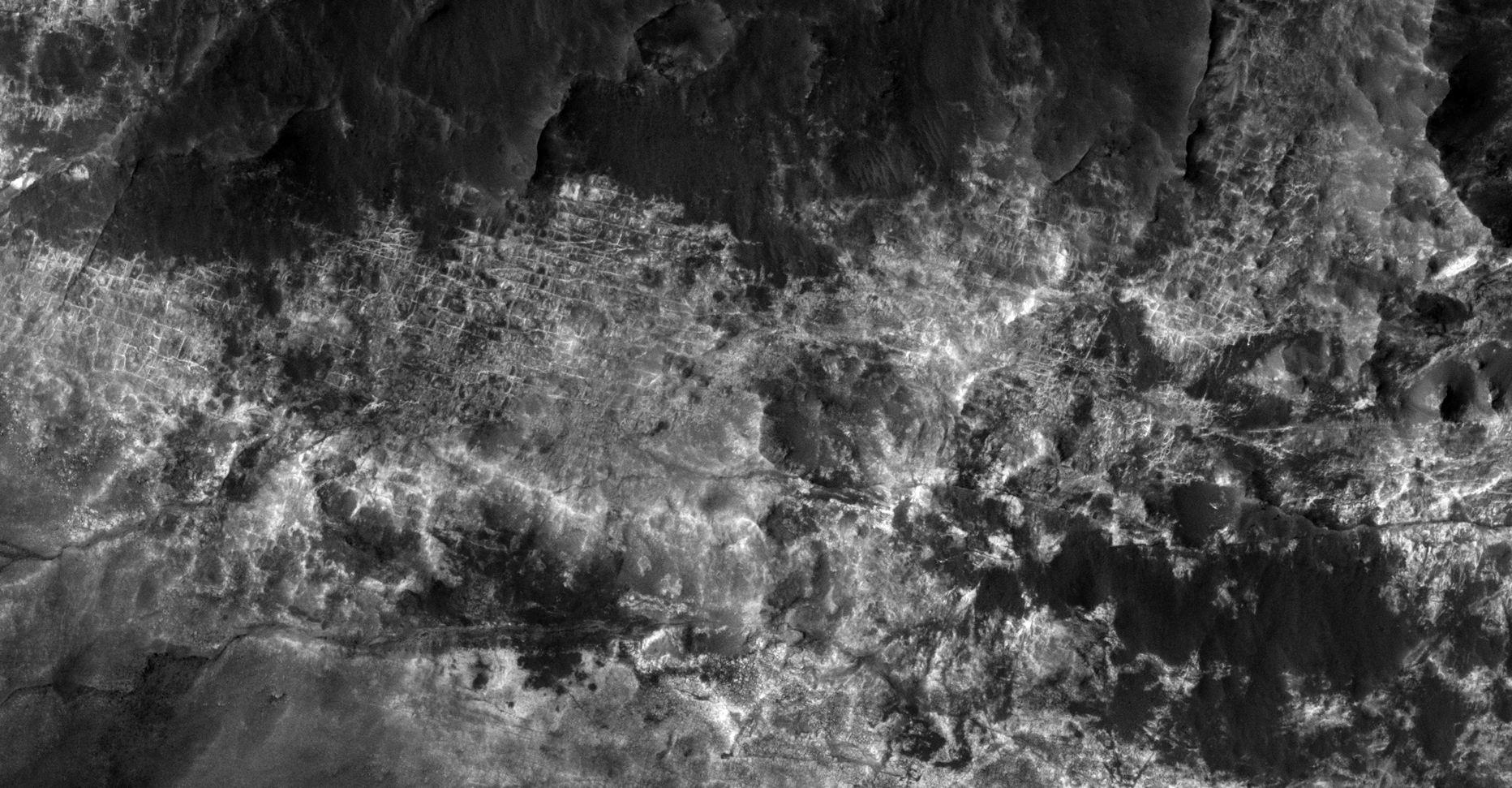
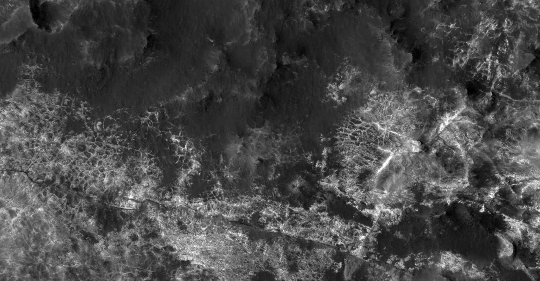
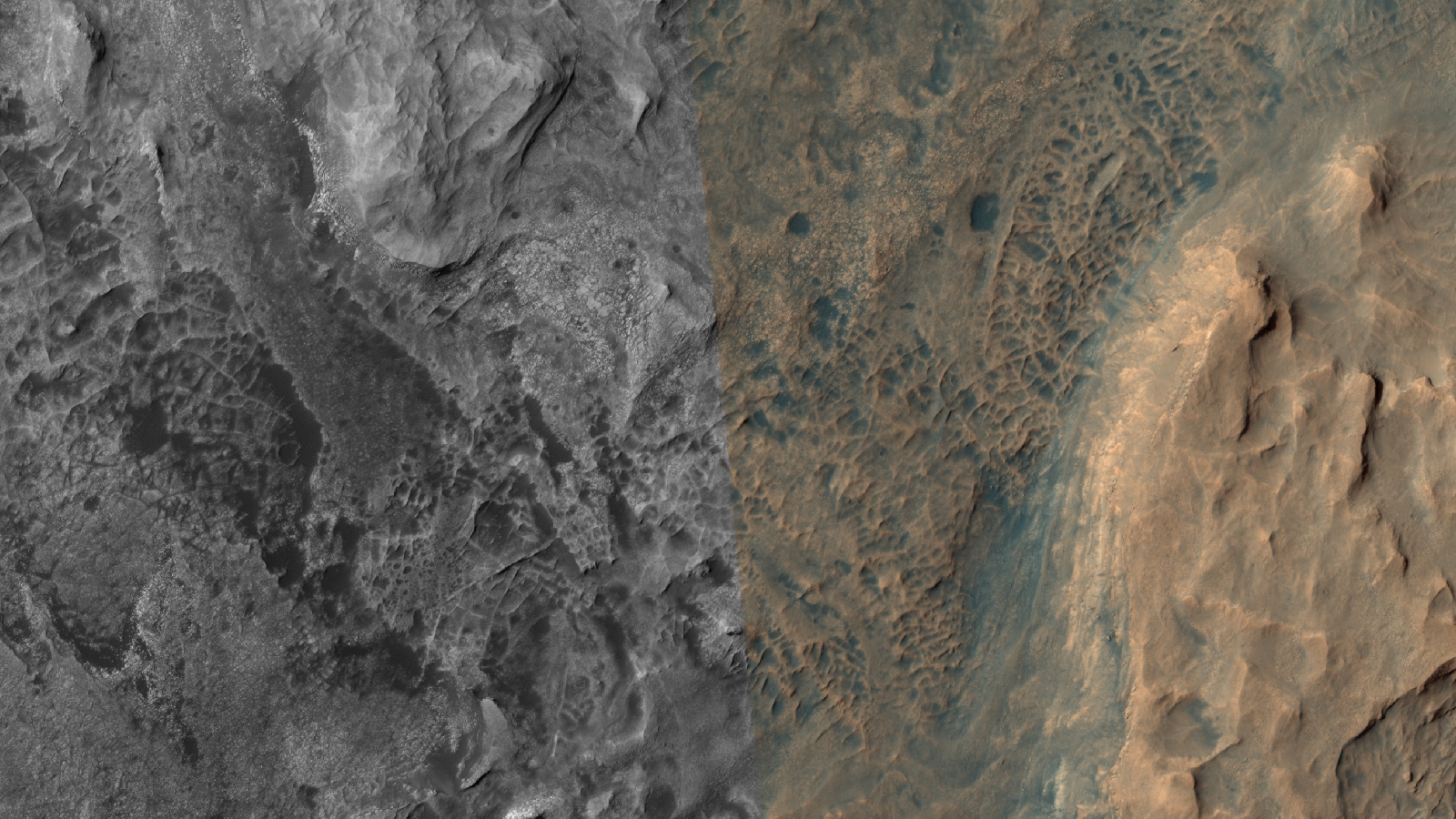
This photograph (ESP_012945_1450) was taken by NASA’s Mars Reconnaissance Orbiter (MRO) HiRISE Camera on 01 May 2009.
NASA describes this photograph as “Possible MSL Landing Site Near Atlantis Chaos.”
I discovered what looks like vast area’s of the Martian surface covered in some kind of grid-like structures. Are these pipes, walls, plant roots or wire fashioned into grid-like structures which appear to be illuminated artificially (like a city on Earth seen from space during night time)?
Seen are multiple shapes consisting of parallel lines, right angles, triangles, rectangles, squares, domes and even what looks like a pumping station and satellite dish.
Pure speculation as always, these anomalies look like something unnatural and are not specifically something unnatural.
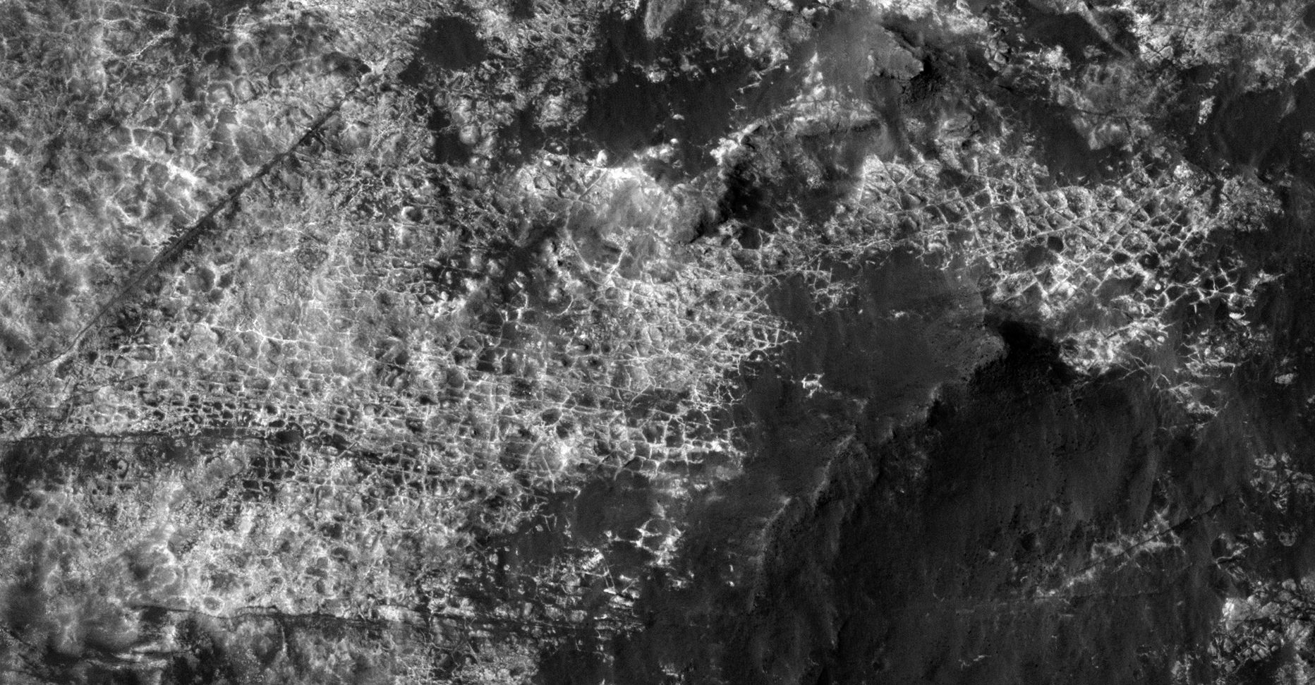
Grid-Like Structures, Open Pit Mining Quarries and Hangars/Underground Entrance-Ways (click for larger image)Grid-Like Structures and Domes (click for larger image)Grid-Like Structures (click for larger image)Grid-Like Structures (click for larger image)Grid-Like Structures (click for larger image)Grid-Like Structures (click for larger image)Plant Roots? (click for larger image)Grid-Like Structures (click for larger image)Grid-Like Structures, Domes and Satellite Dish? (click for larger image)Grid-Like Structures and Domes (click for larger image)Open Pit Mining Quarry? (click for larger image)Grid-Like Structures (click for larger image)Pumping Station? (click for larger image)Grid-Like Structures and Domes (click for larger image)