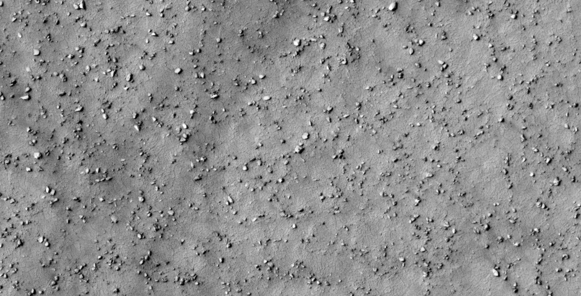
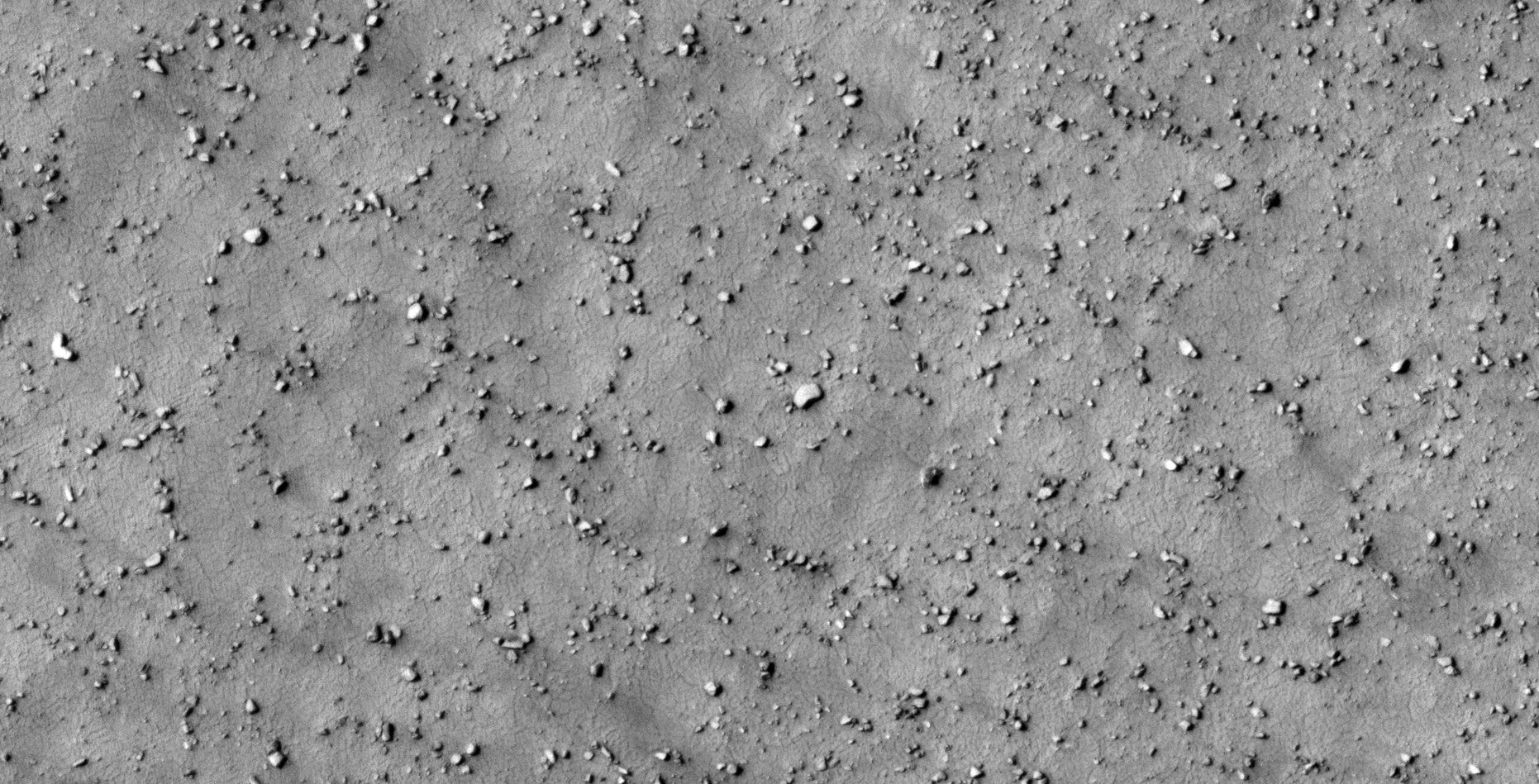
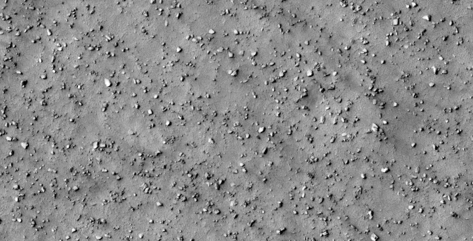
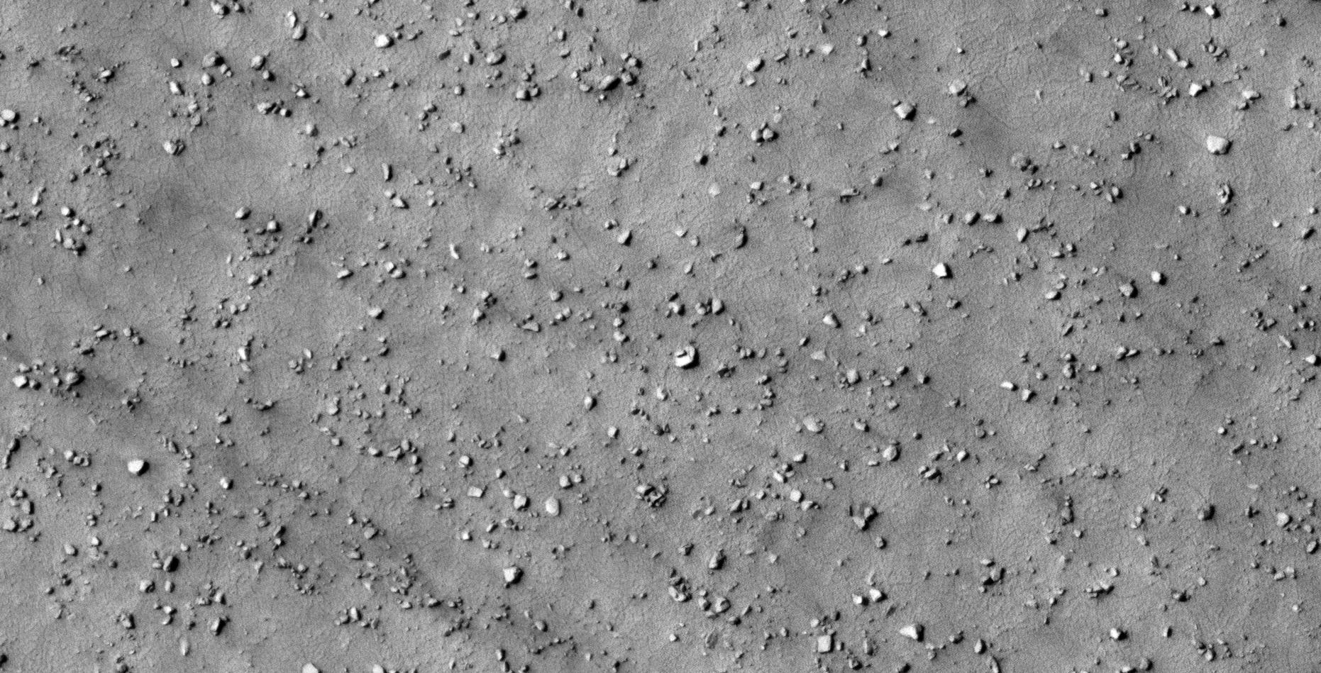
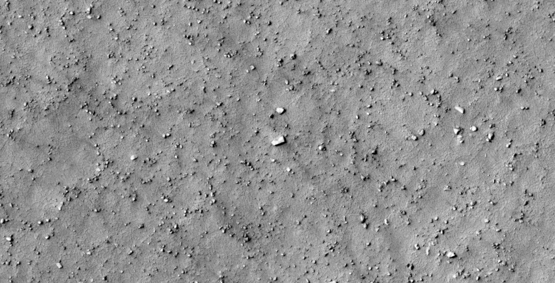
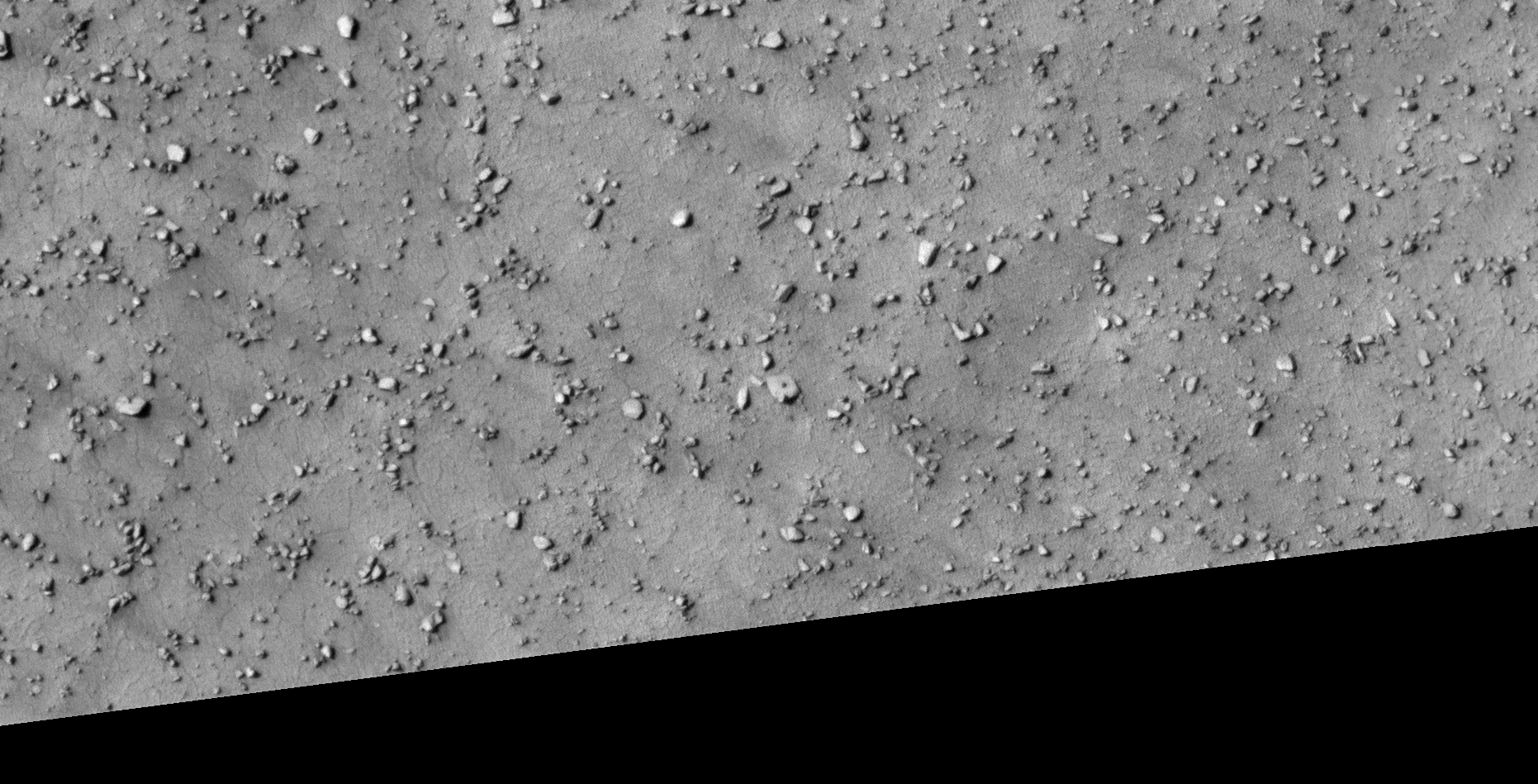
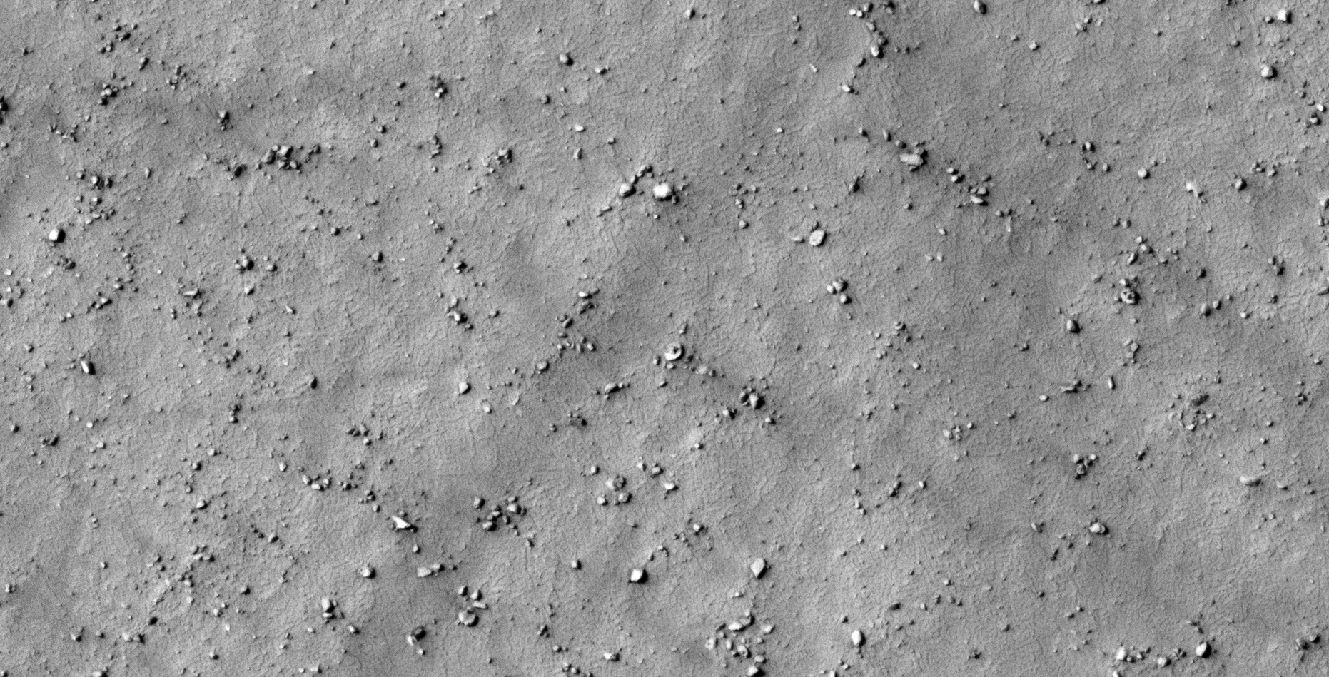
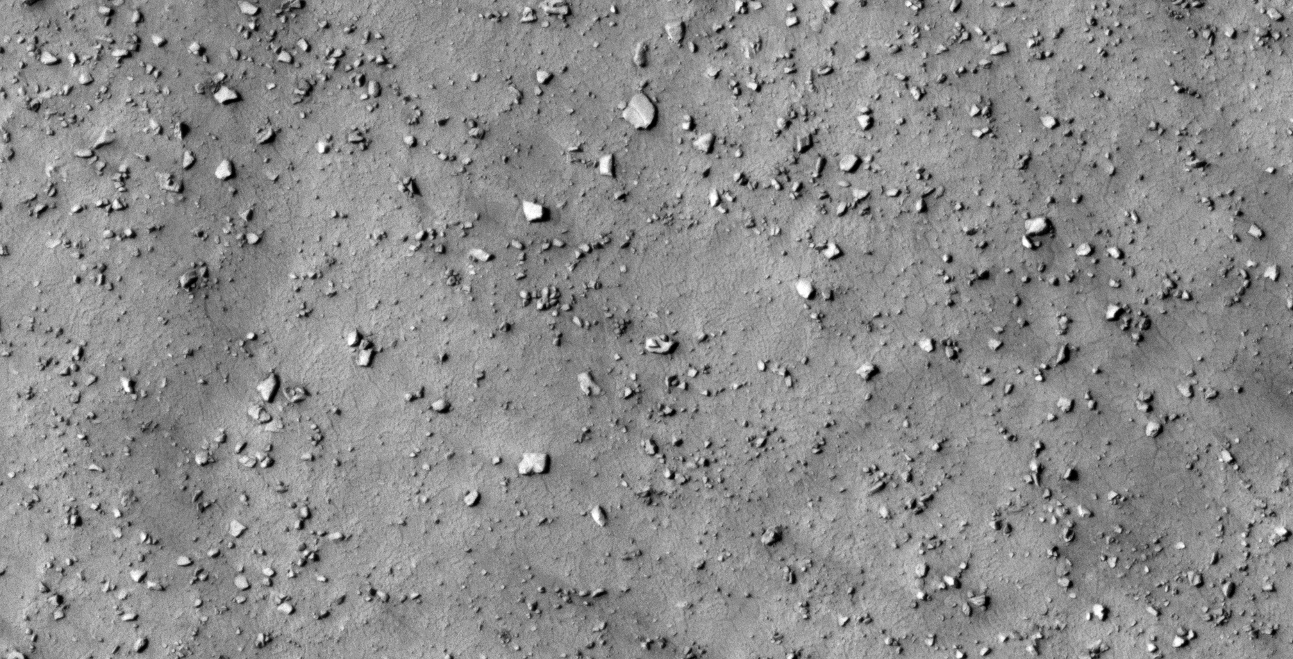
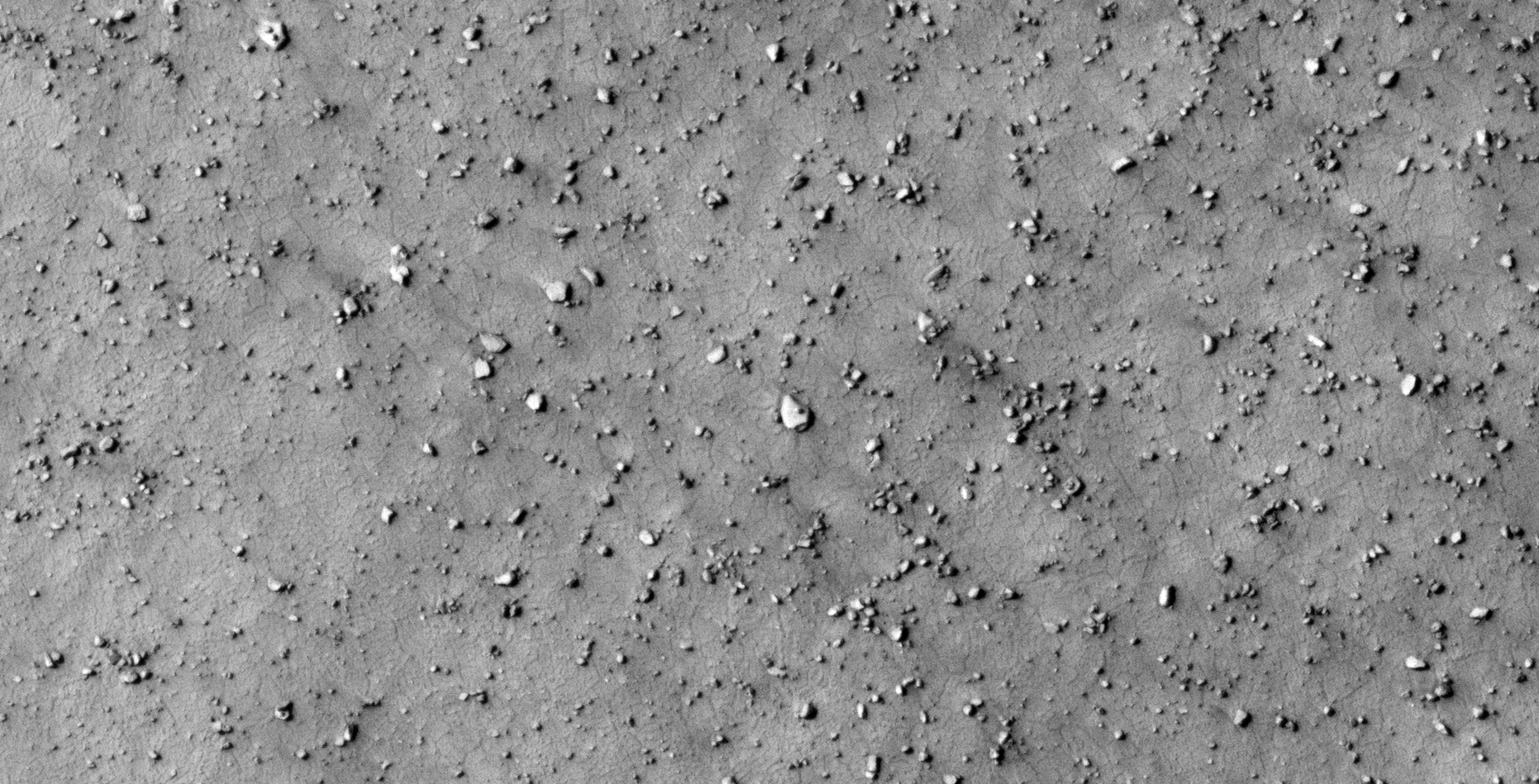
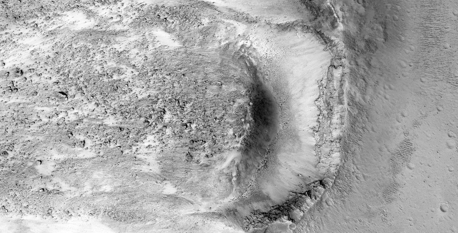
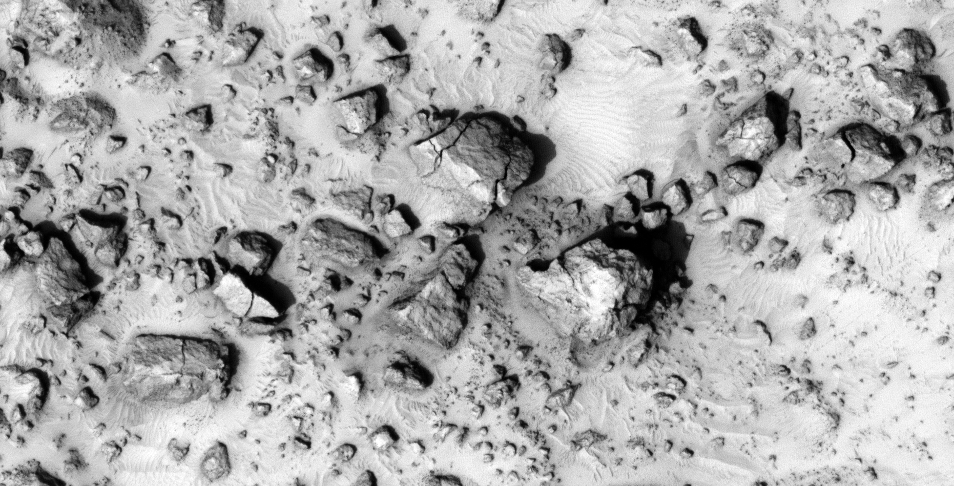
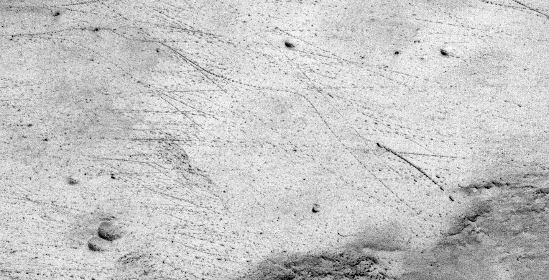
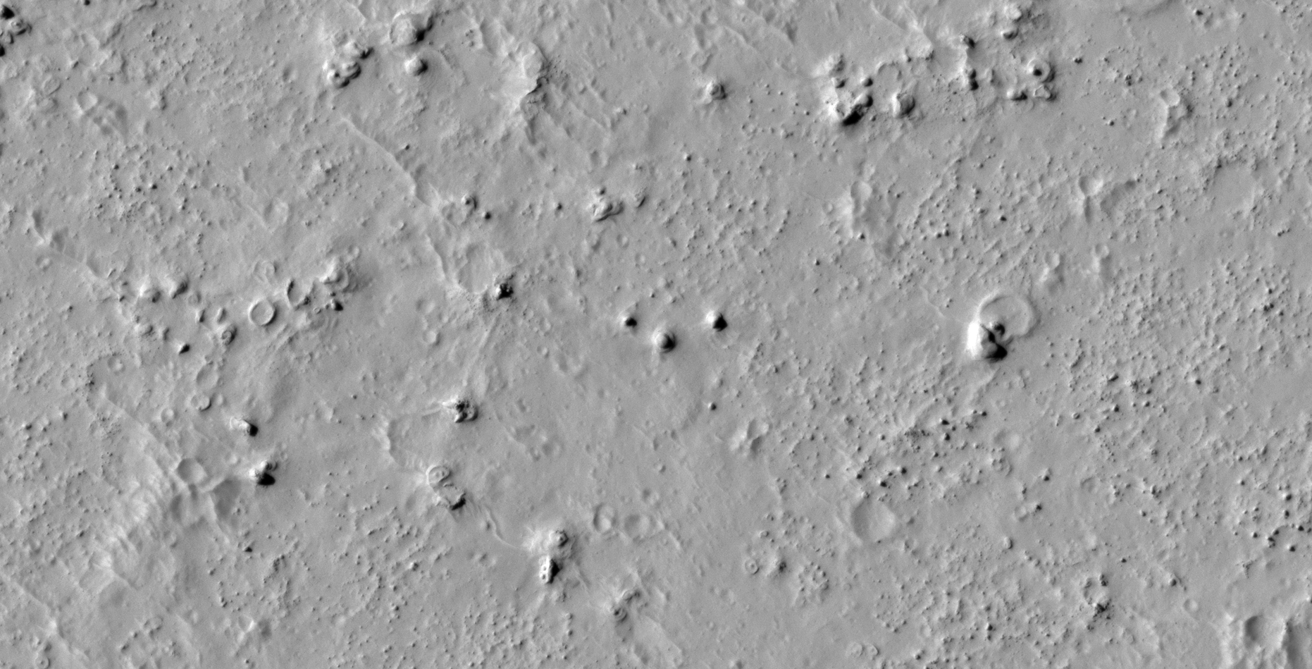
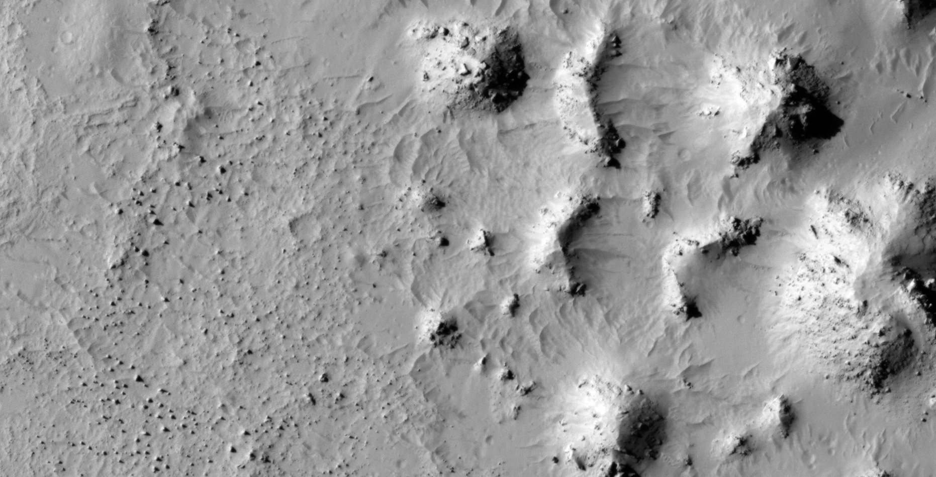
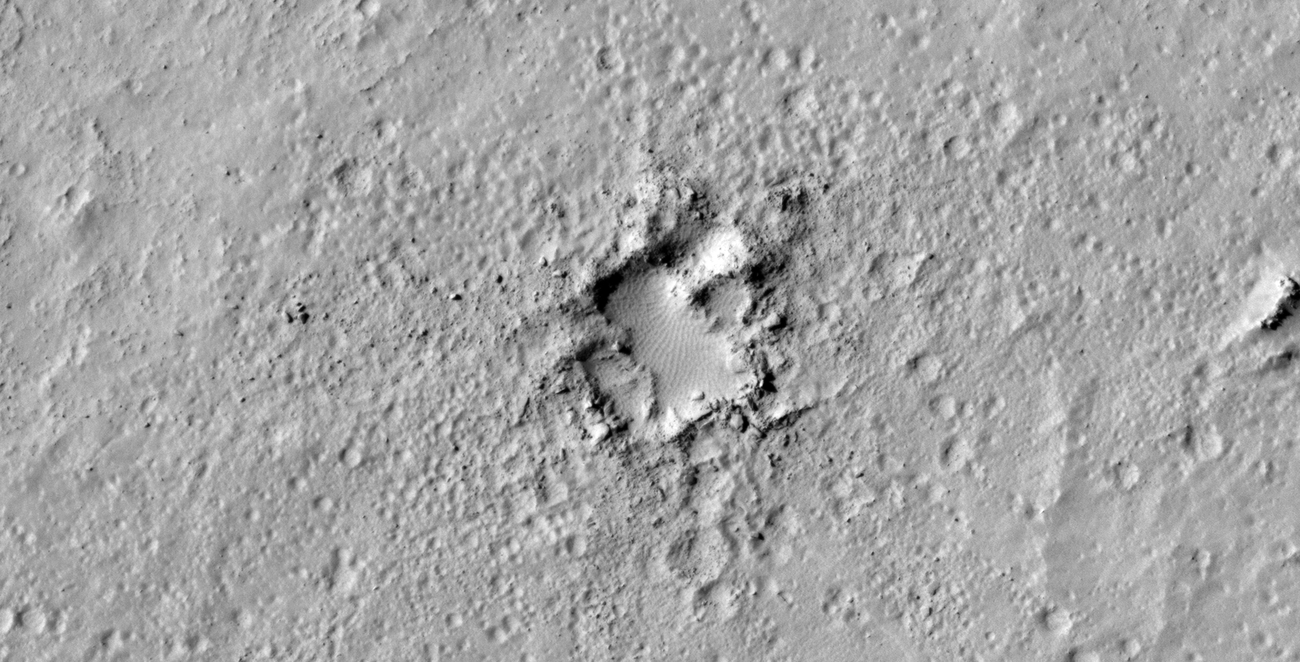
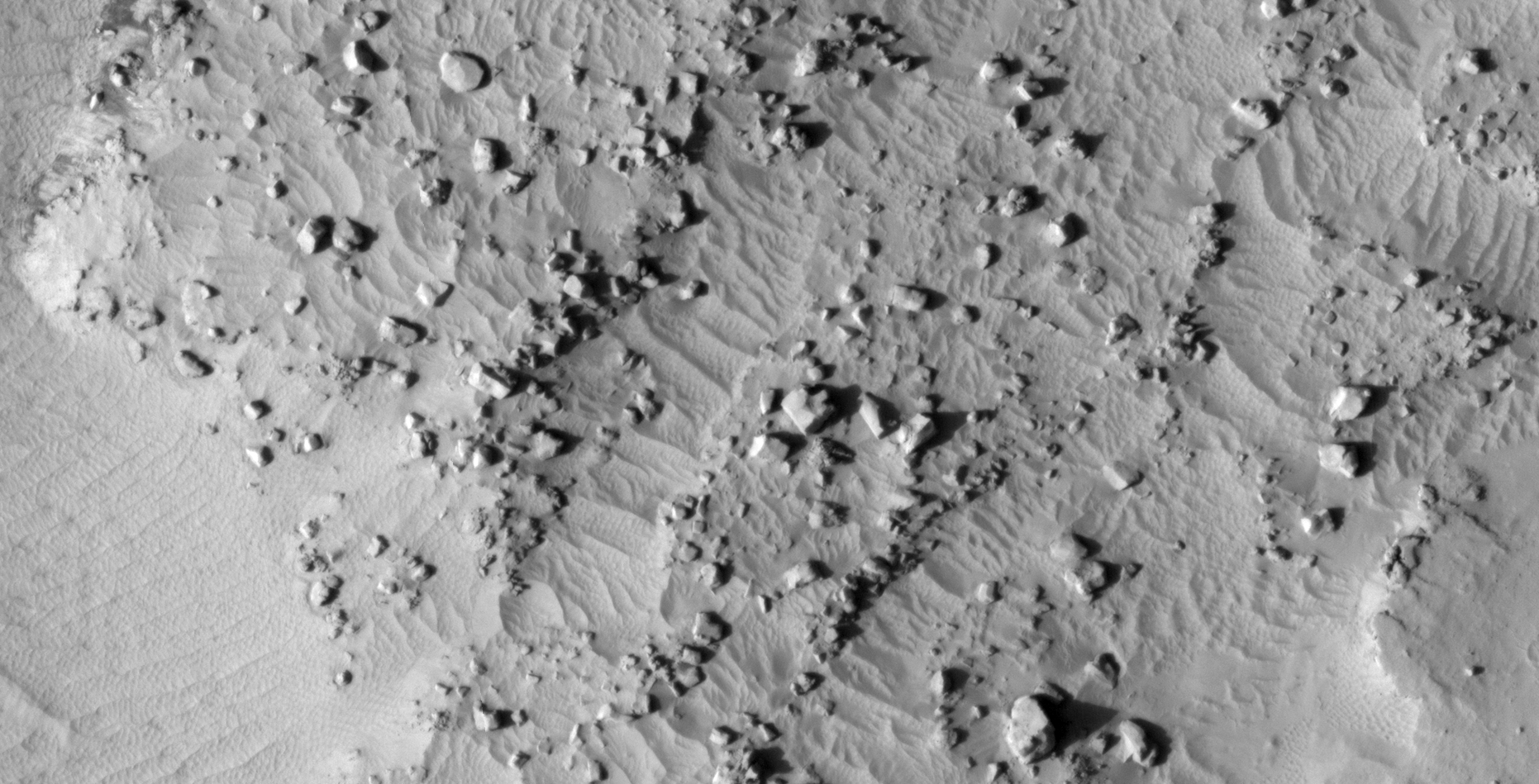
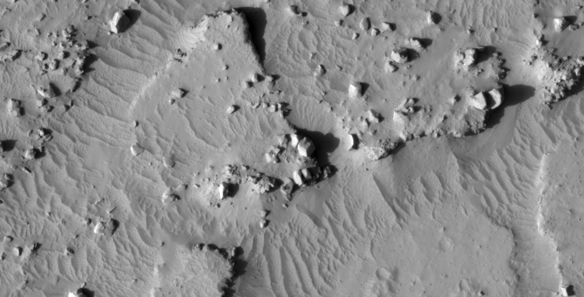
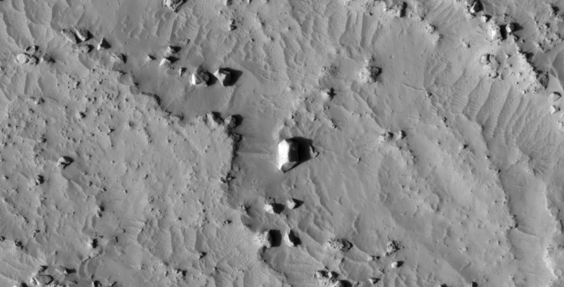
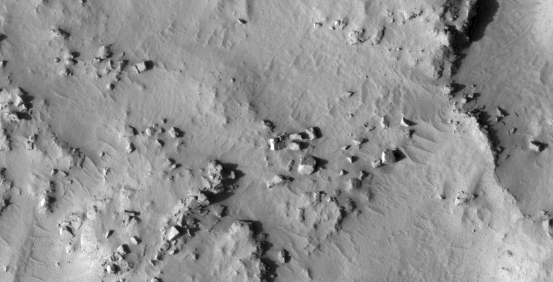
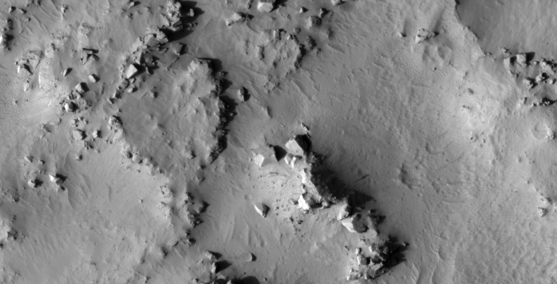
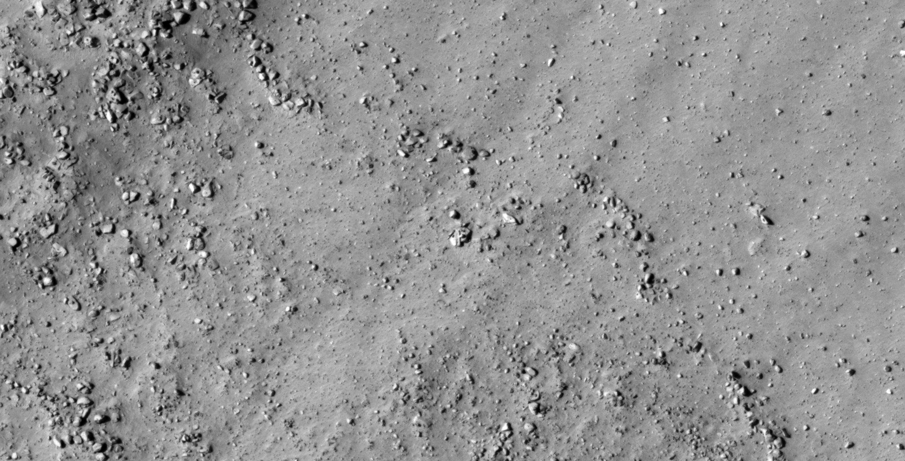
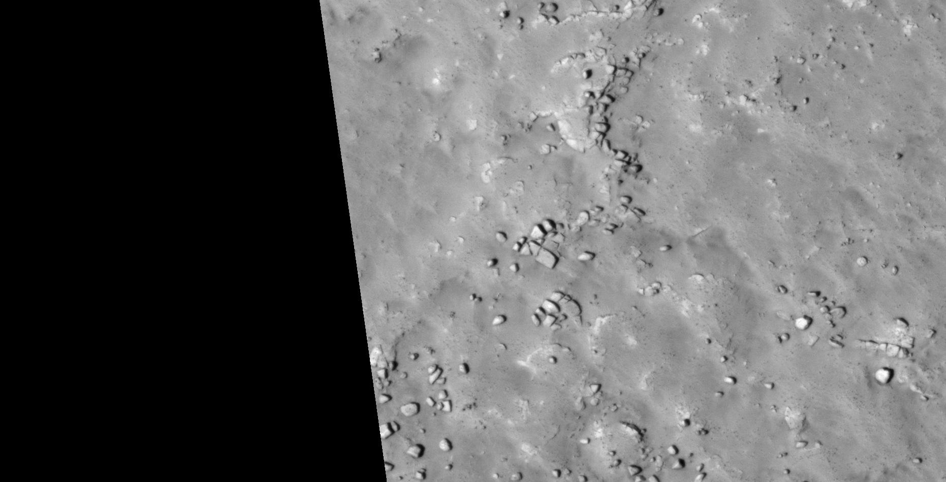
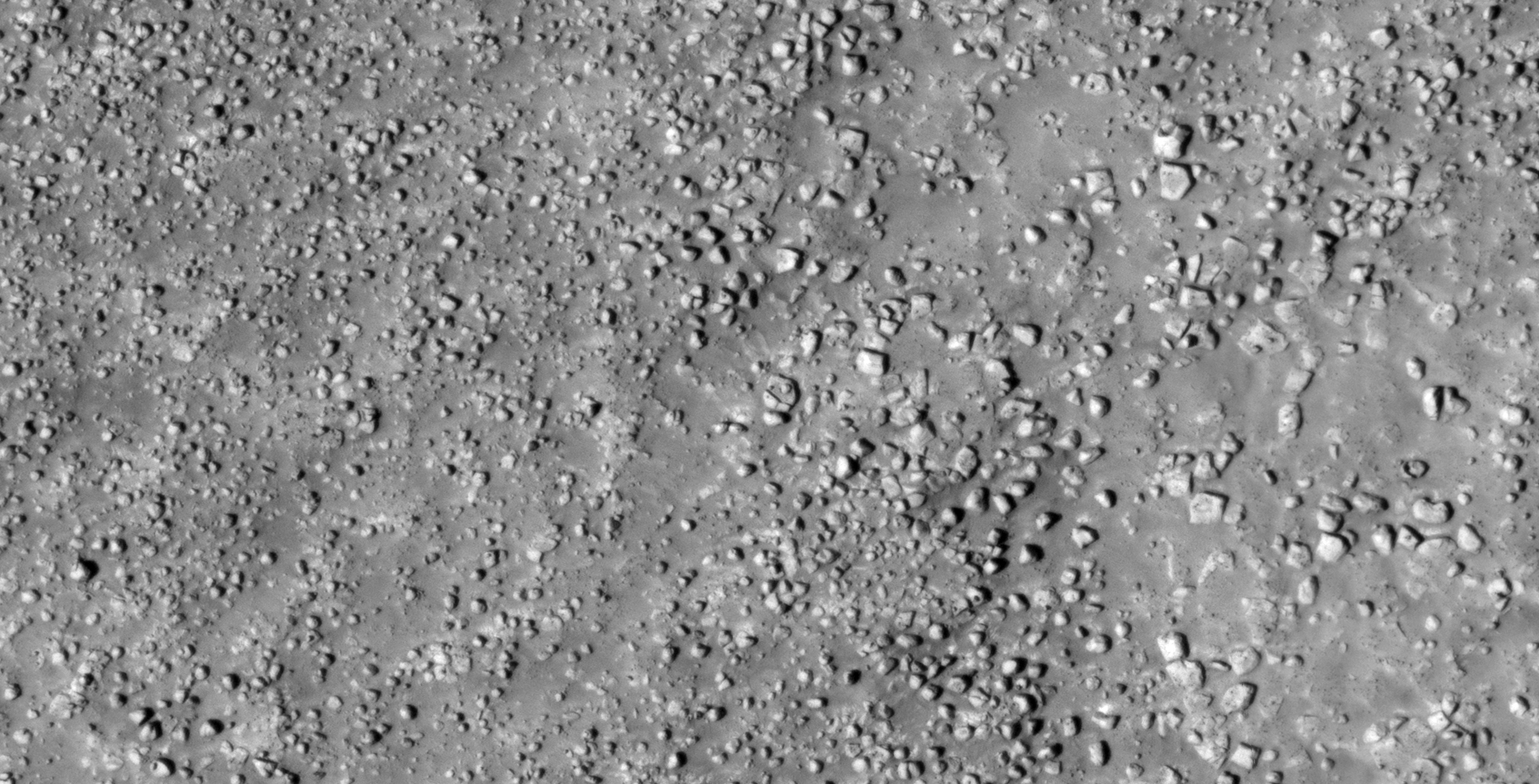
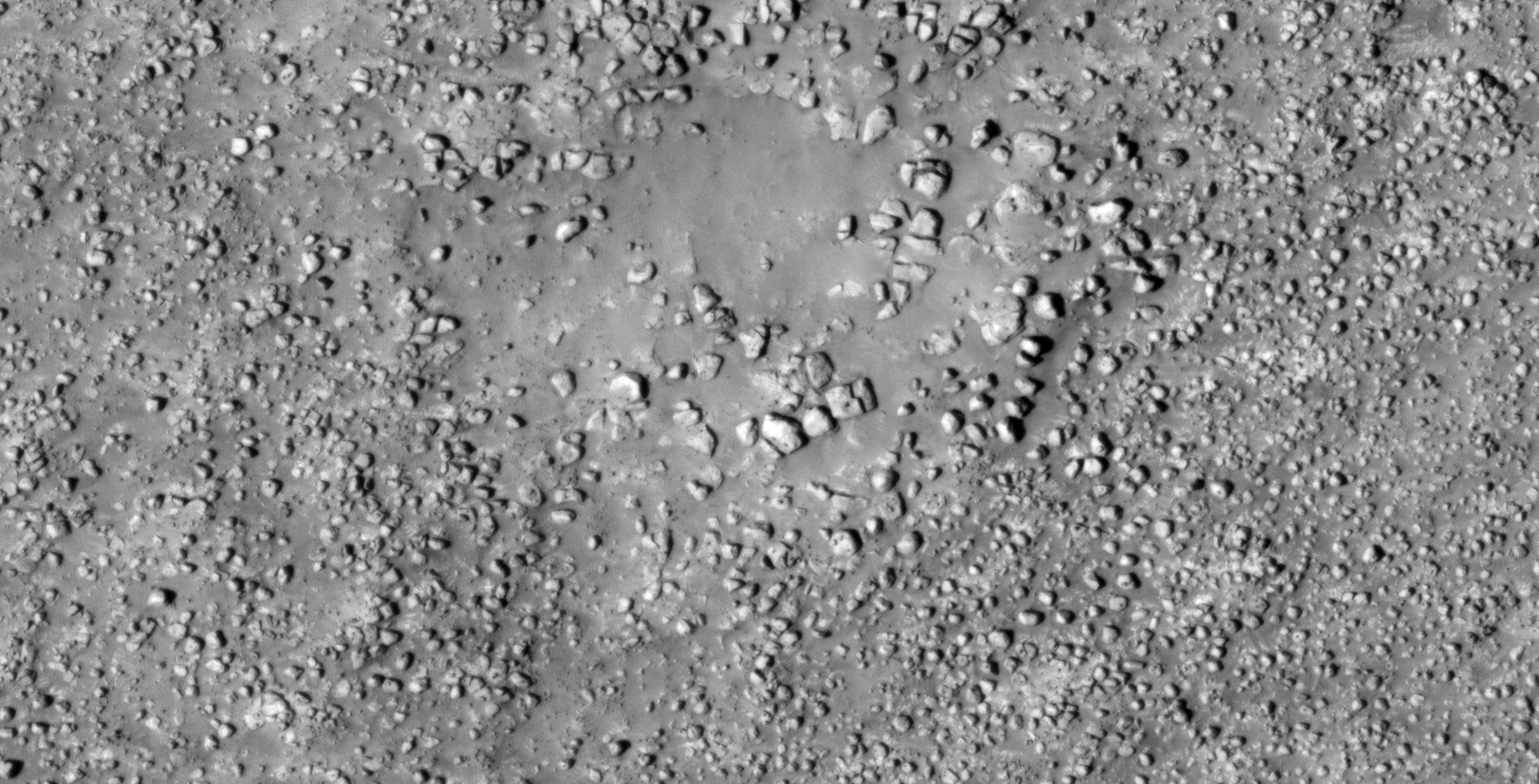
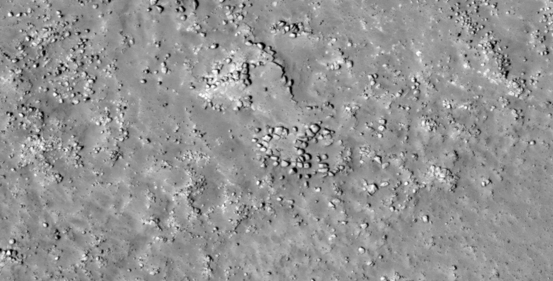
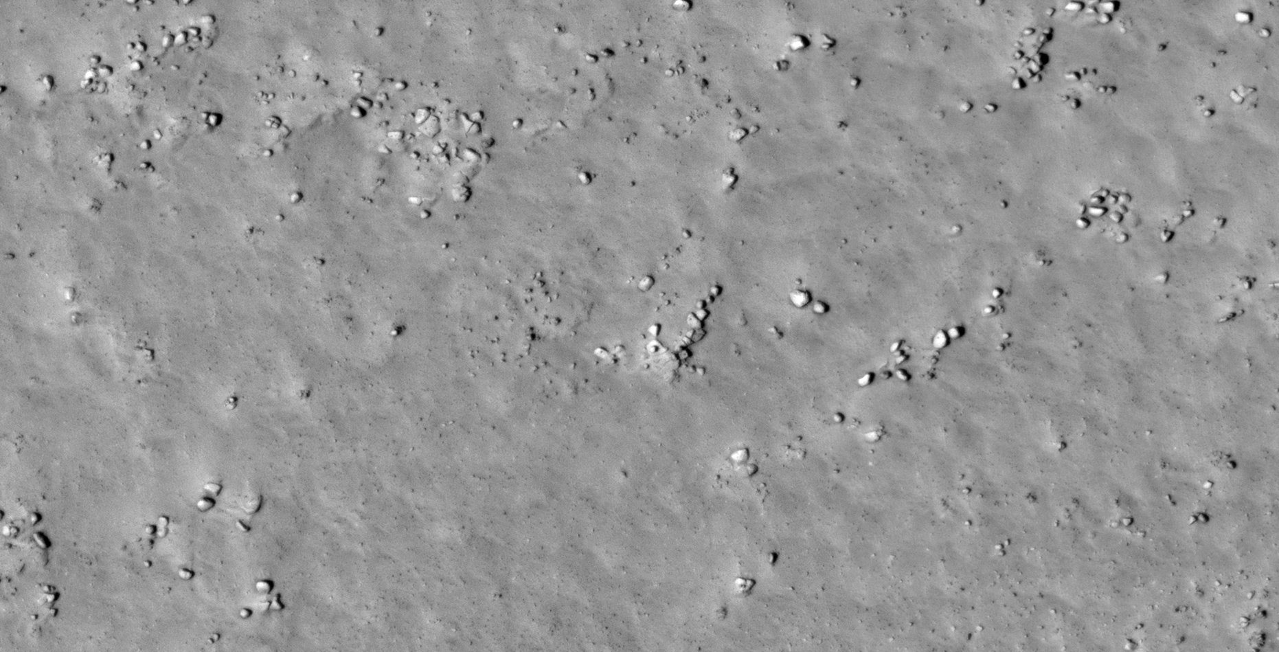
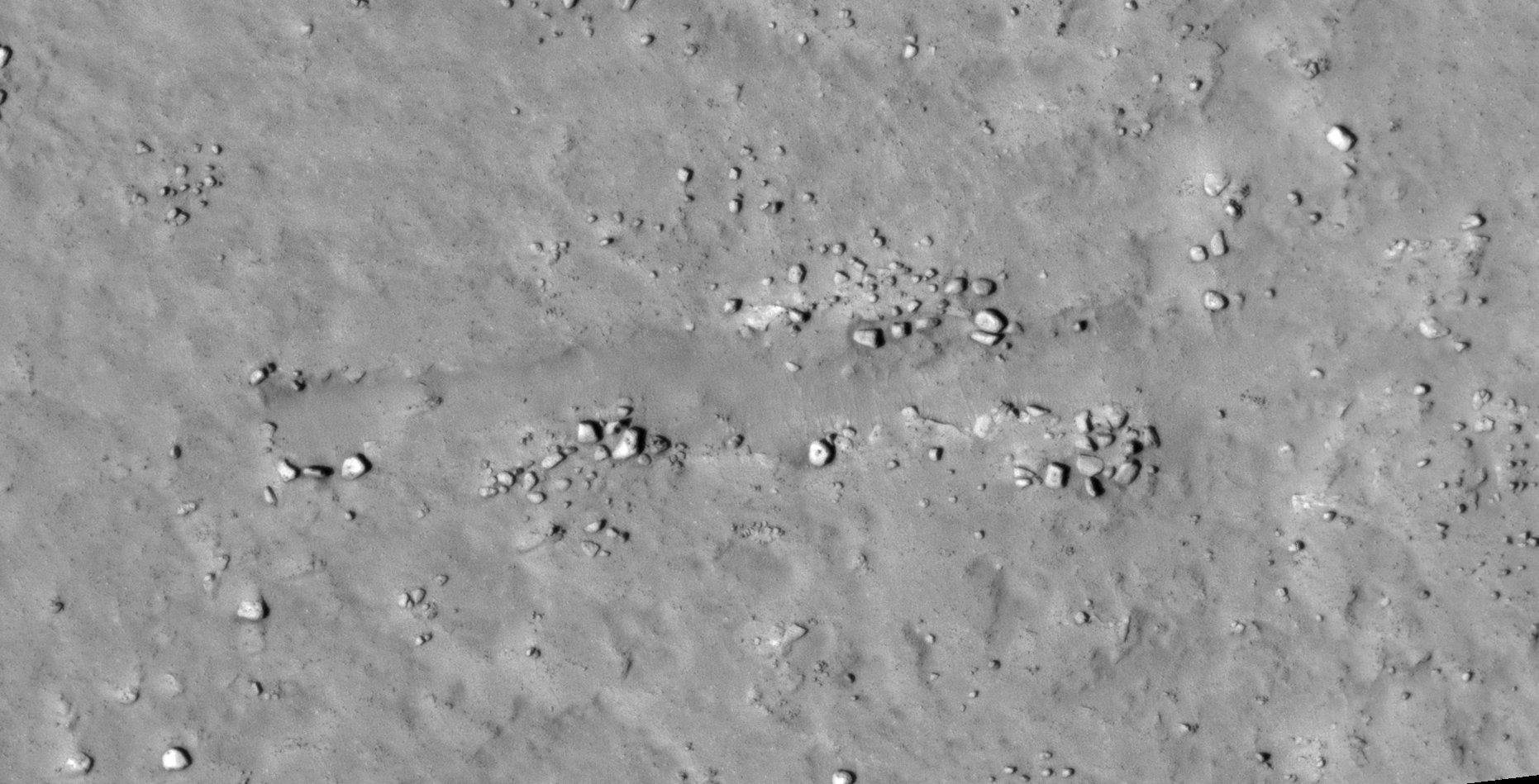
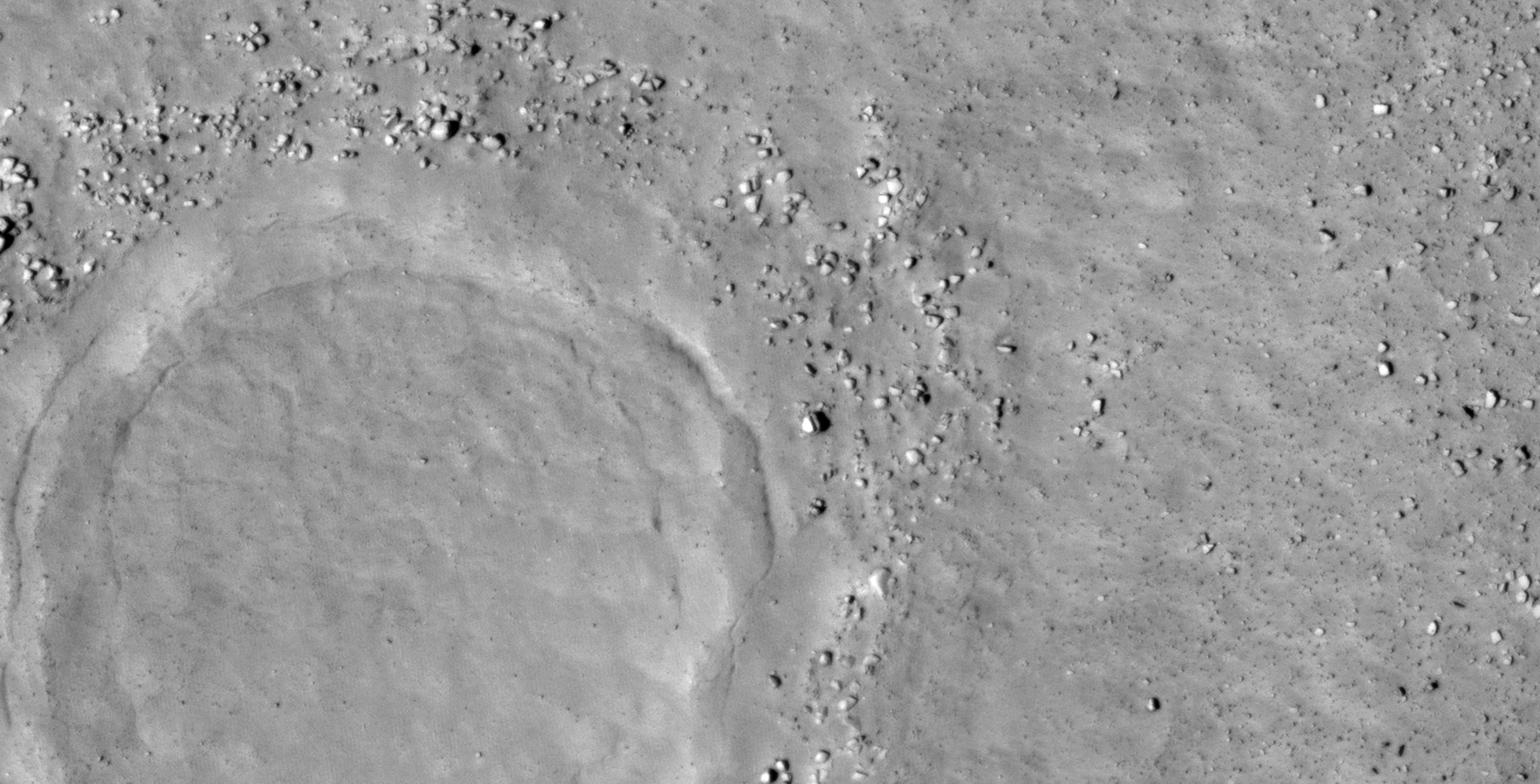
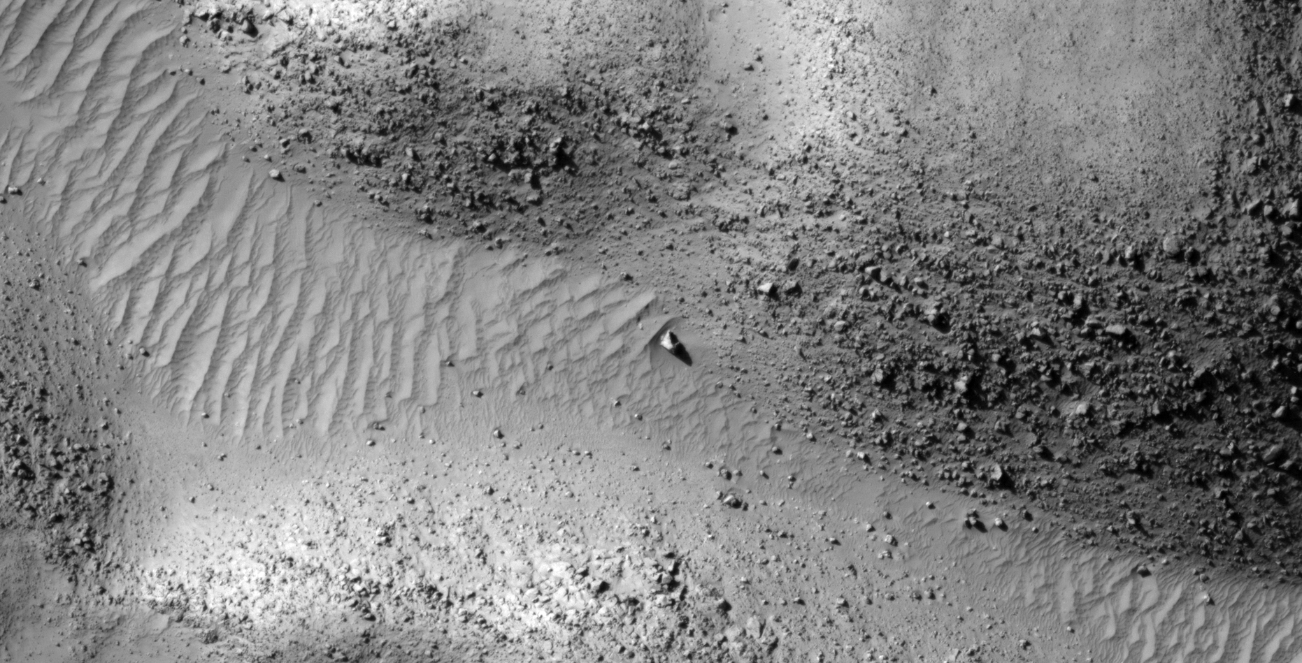
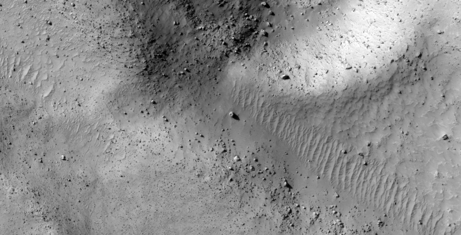
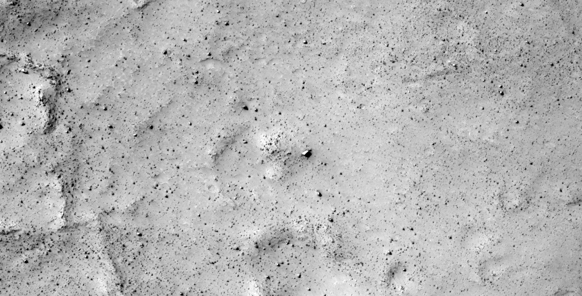
The photograph analyzed here (ESP_048164_1185) was taken by NASA’s Mars Reconnaissance Orbiter on 04 November 2016 and is described as ‘Intercrater Plains.’
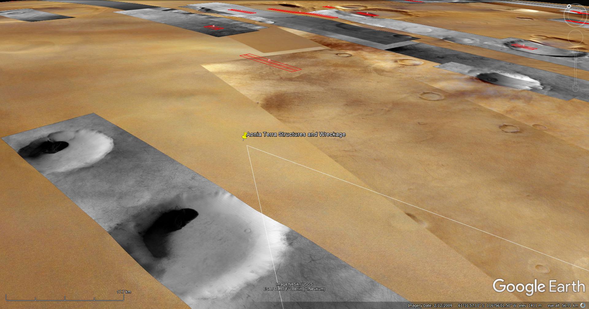
Here I present further evidence of structures and saucer-shaped craft found on Mars, not unlike others I have presented in previous Blog posts and YouTube videos.
One craft is seen outside what appears to be a smashed in entrance-way or hangar and the other out in the open on the Martian surface.
An elevated view of this site being analyzed (click for larger image)(click for larger image)(click for larger image)(click for larger image)(click for larger image)(click for larger image)(click for larger image)(click for larger image)(click for larger image)(click for larger image)(click for larger image)(click for larger image)(click for larger image)(click for larger image)(click for larger image)(click for larger image)(click for larger image)(click for larger image)(click for larger image)(click for larger image)(click for larger image)(click for larger image)(click for larger image)(click for larger image)(click for larger image)(click for larger image)(click for larger image)(click for larger image)(click for larger image)(click for larger image)(click for larger image)(click for larger image)(click for larger image)(click for larger image)(click for larger image)(click for larger image)(click for larger image)(click for larger image)(click for larger image)(click for larger image)(click for larger image)
Images saved from within HiView or CTX viewer do not include image scale indicators. The image scale indicators I include in images are based on the official resolutions provided by NASA and although I strive to be as accurate as possible there may be slight deviations from the actual scale. Image scale indicators are included as a size approximation tool only.
Geometry lines are mapped as accurately as possible using the limited information, data and mapping tools available at the time, therefore the lines may deviate from target sites by a few kilometres. Revisions may be made in the future as new, more precise information, data and mapping tools become available.
Many or all of the anomalies/artefacts covered in this presentation may be naturally occurring geological features caused by some type of geological processes, however due to the lack of specific information from the source we can only speculate whether these are all natural or some artificial in nature.
In cases where I say an anomaly looks like something I’m attempting to clarify what I see and not specifically that the anomaly is what I say it looks like.
My intention is only to share anomalies I’ve discovered on Mars and not to convince anyone that there is or was a civilization on Mars.
As Will Farrar from WhatsUpInTheSky says: “I see what I see, you see what you see.”
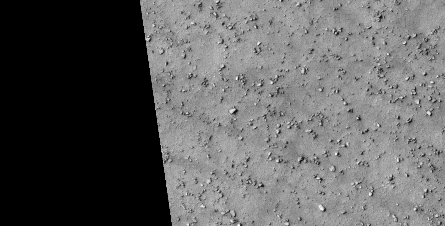
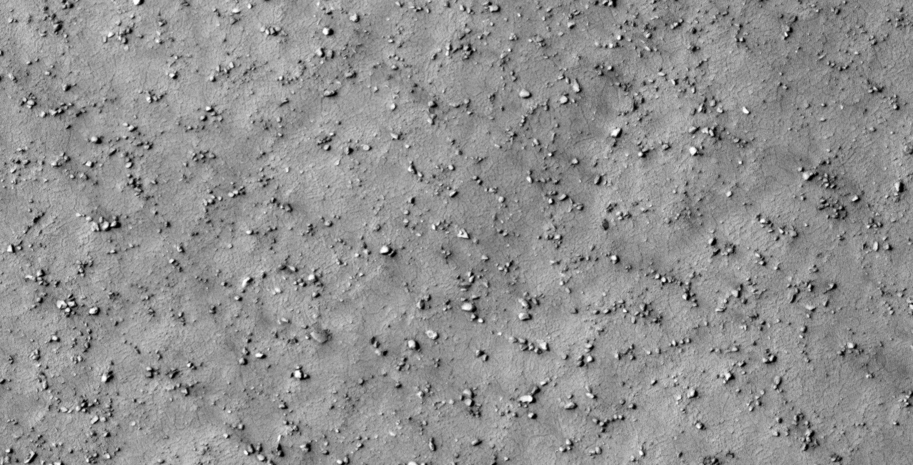
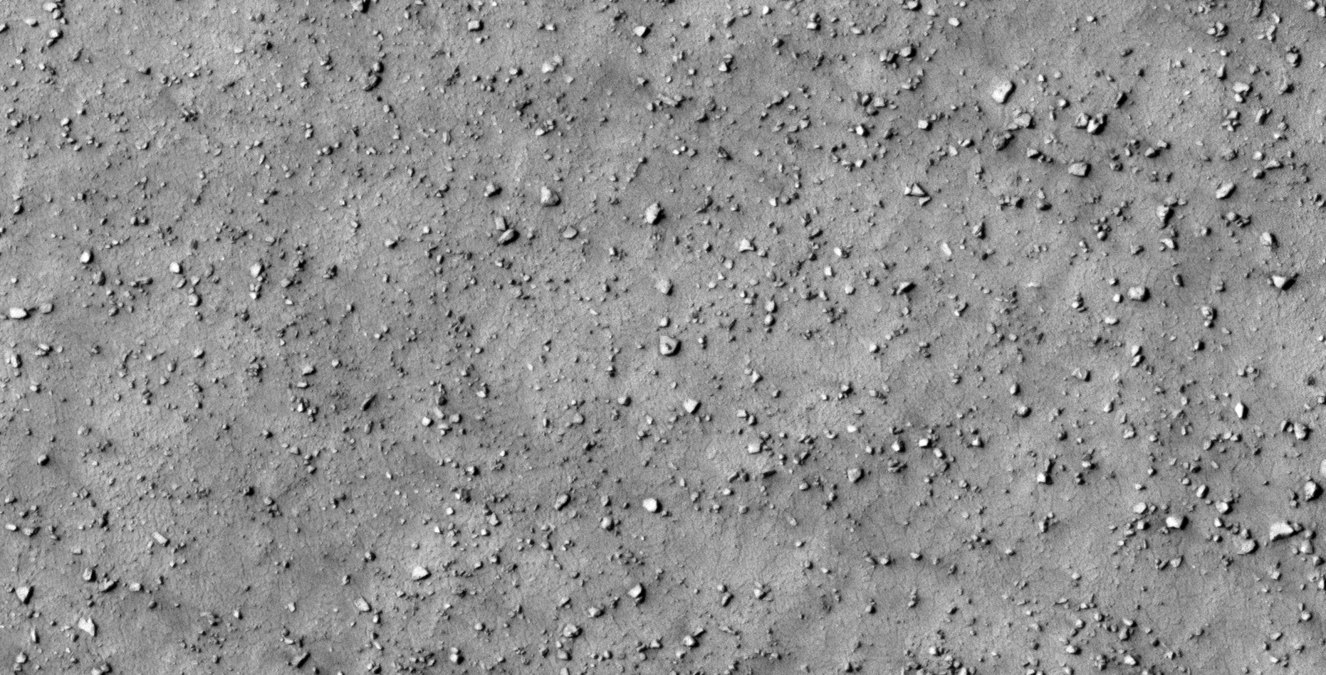
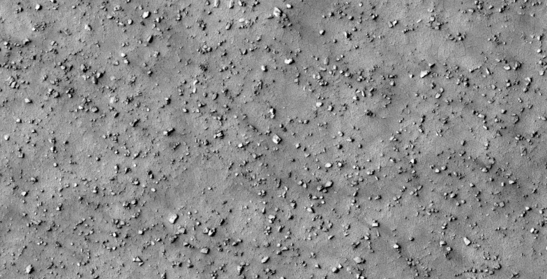
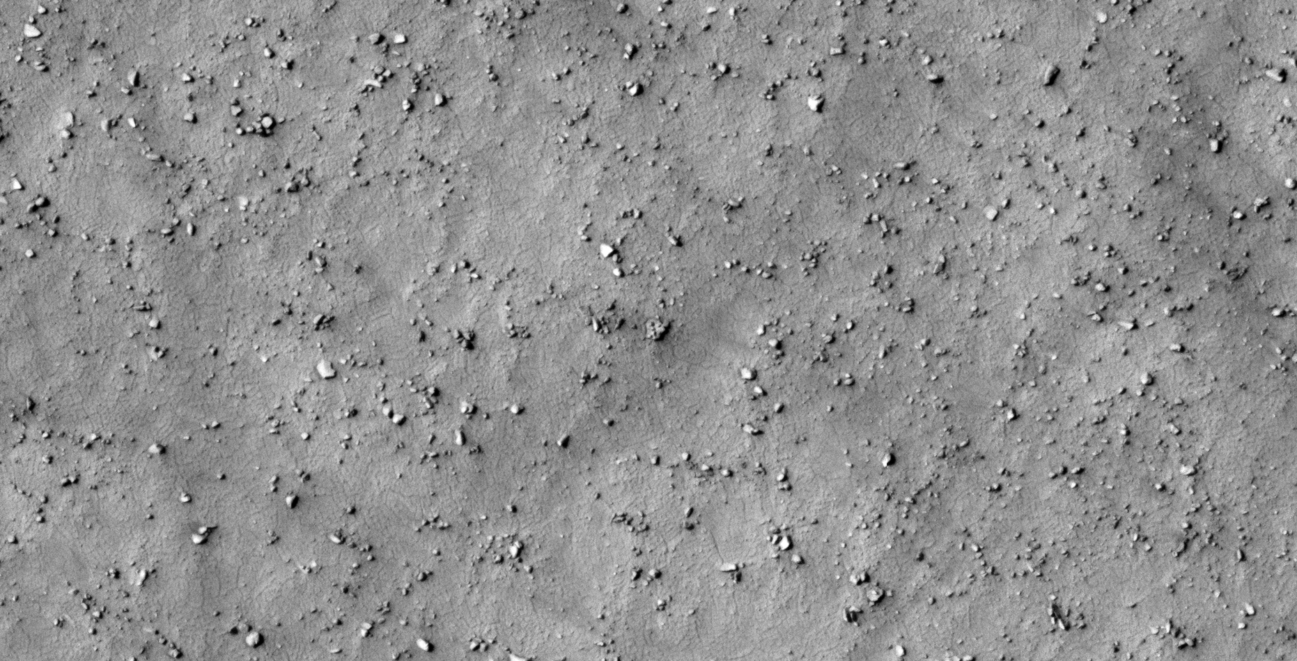
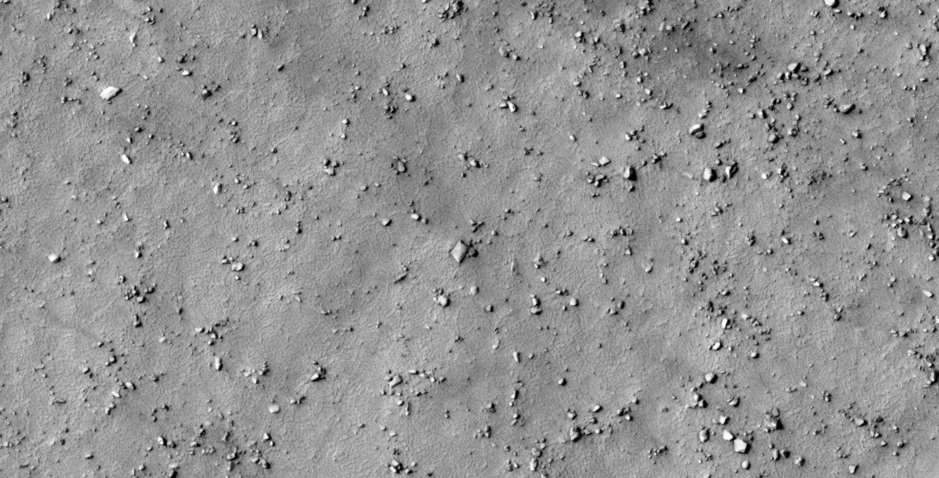
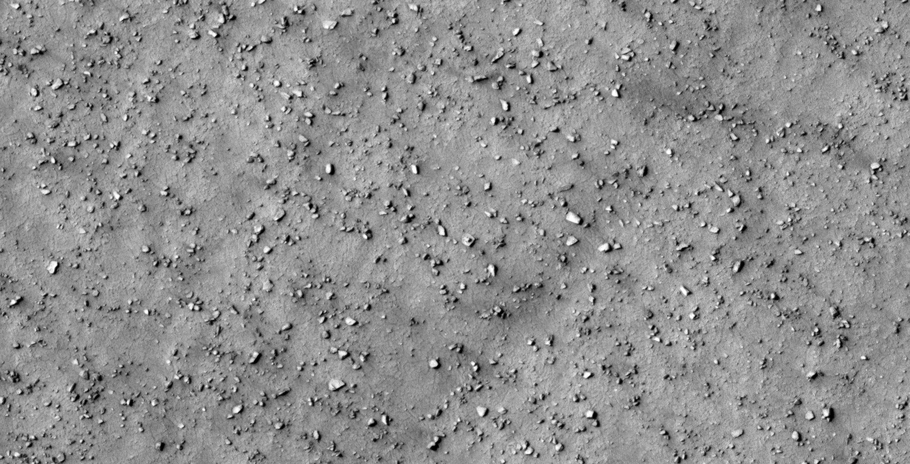
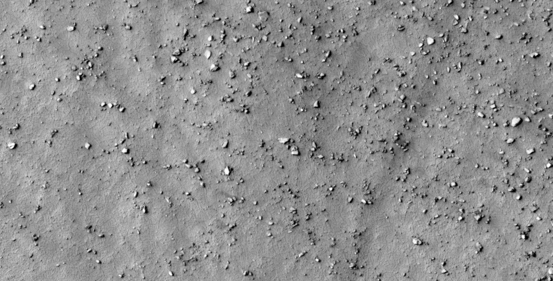
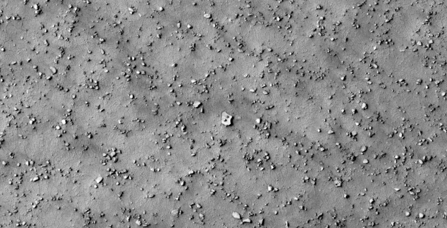
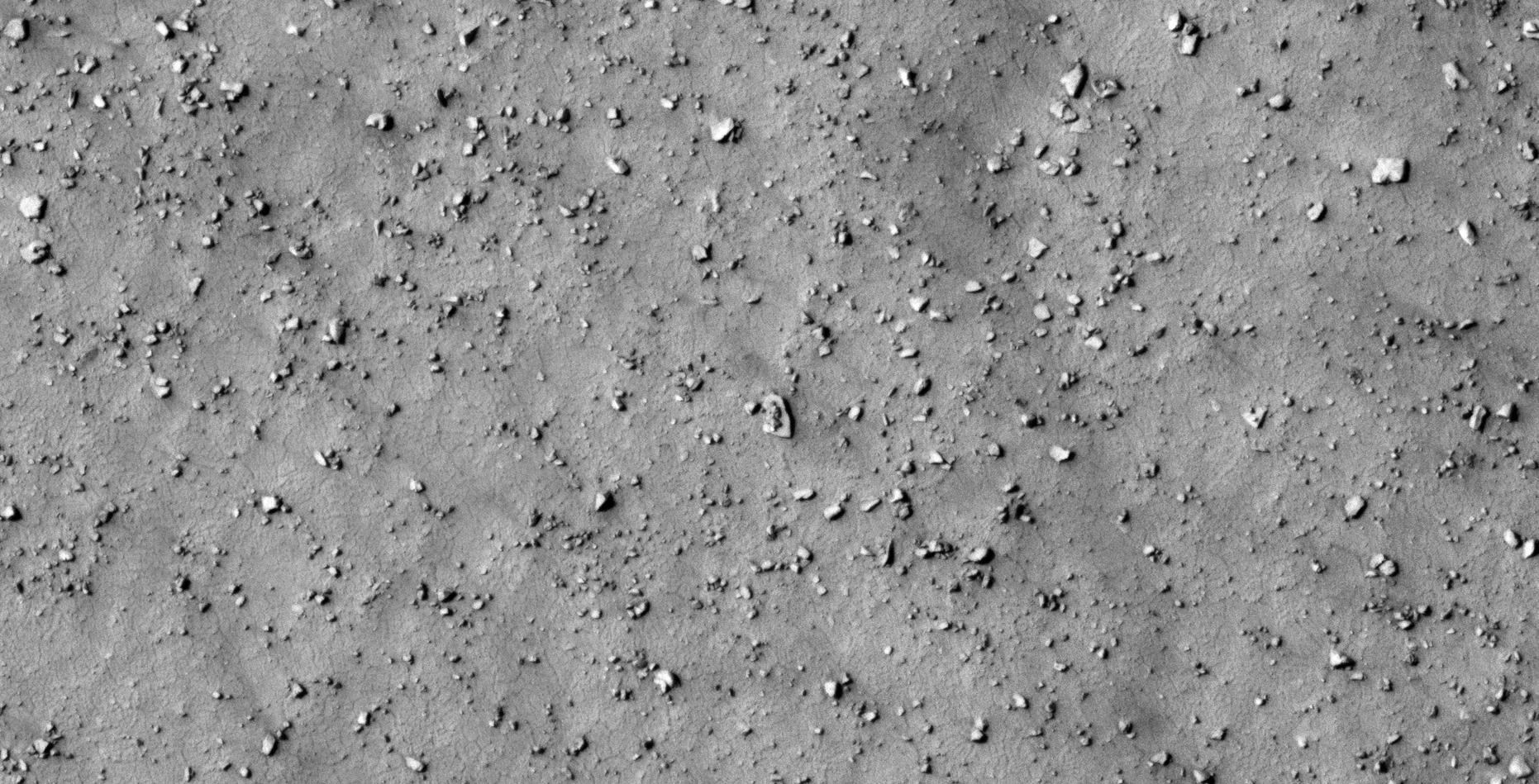
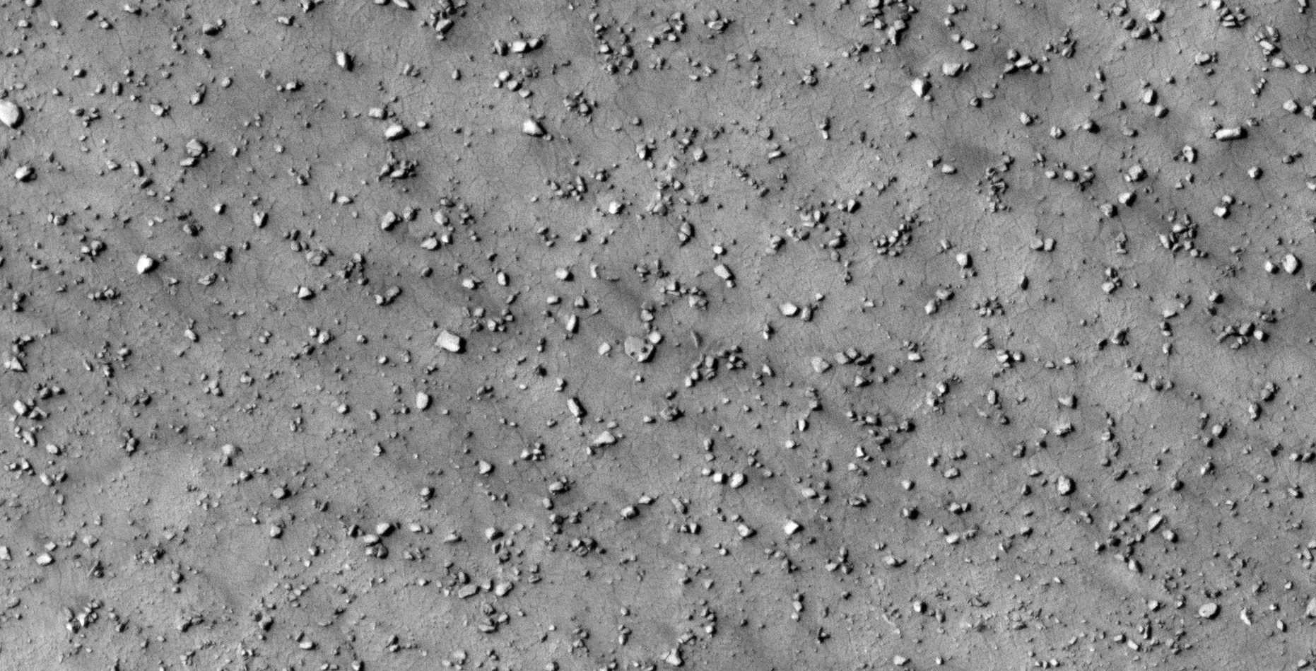
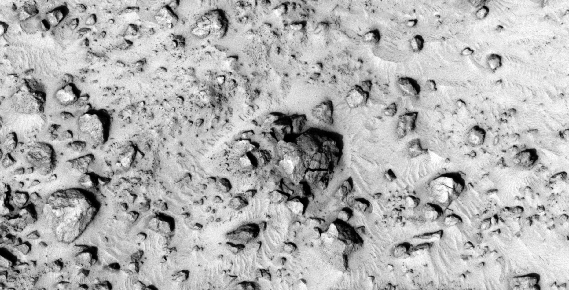
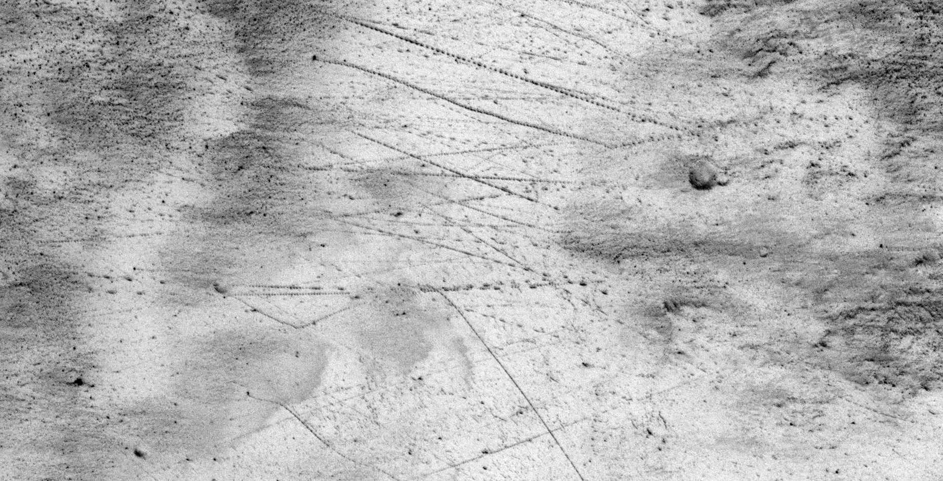
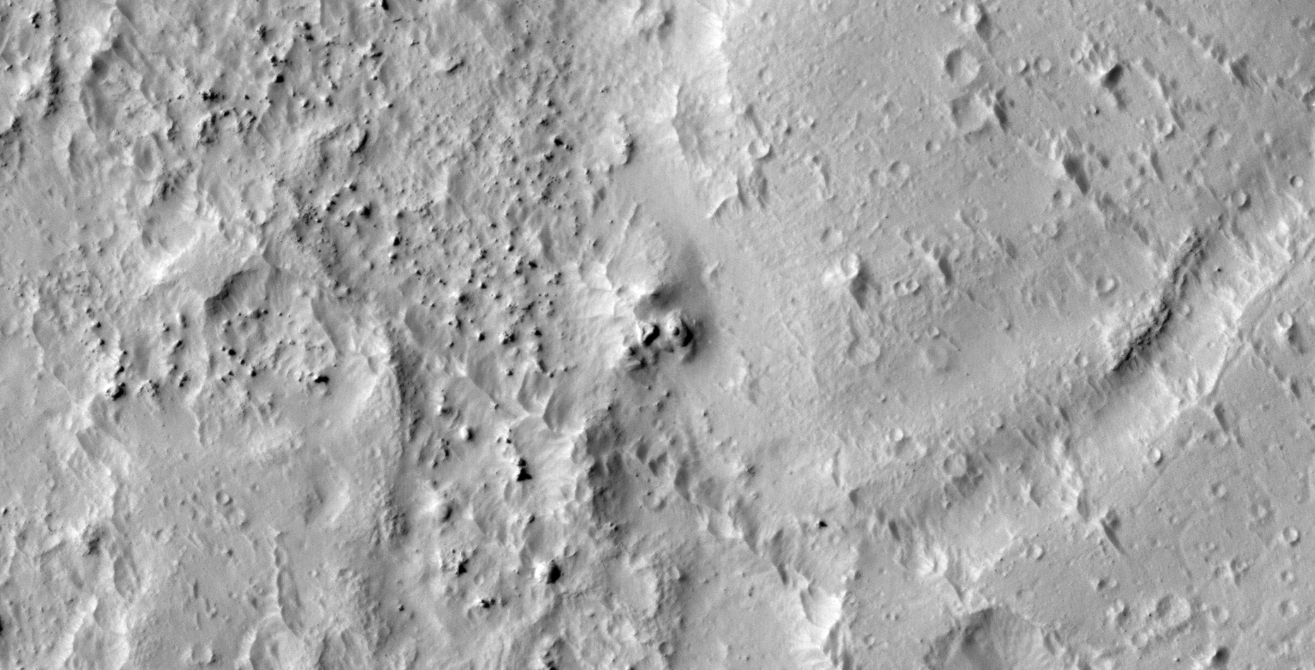
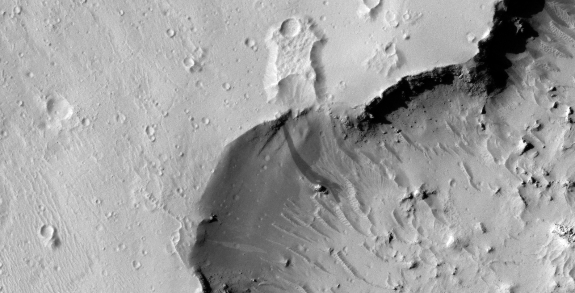
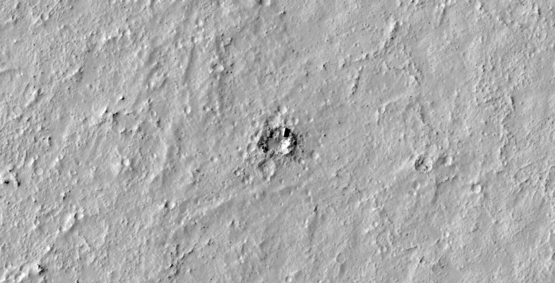
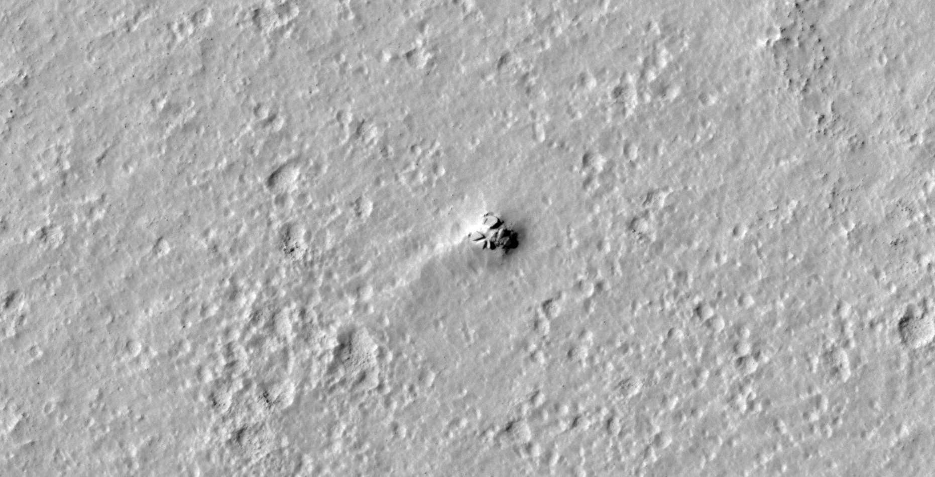
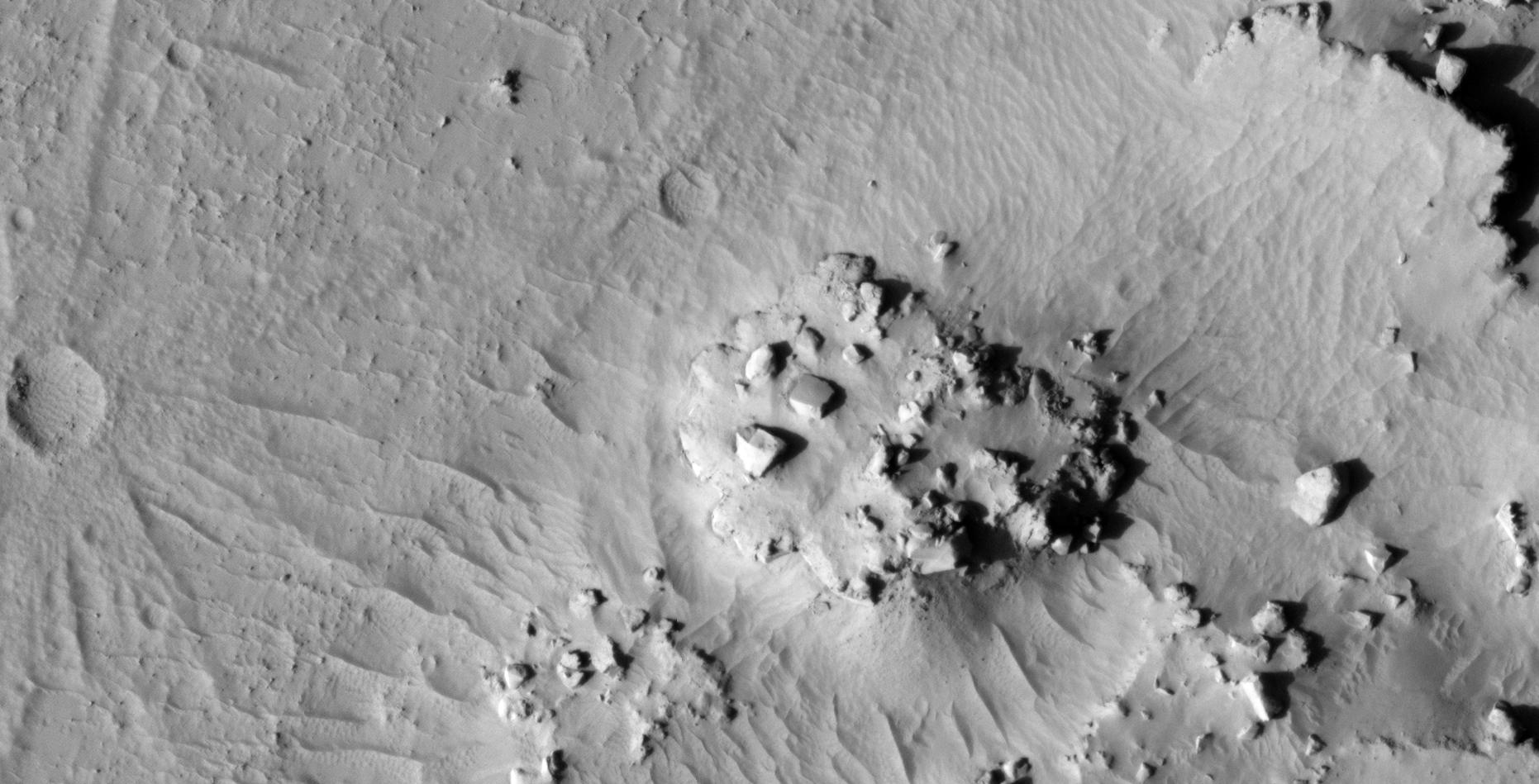
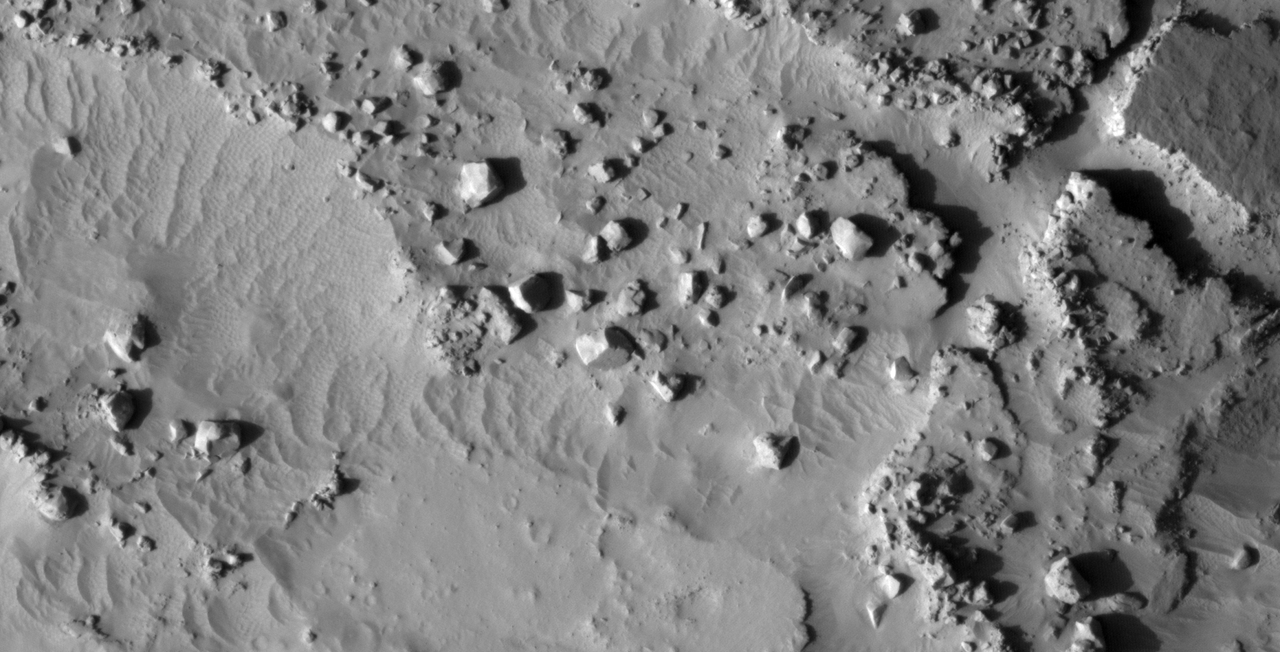
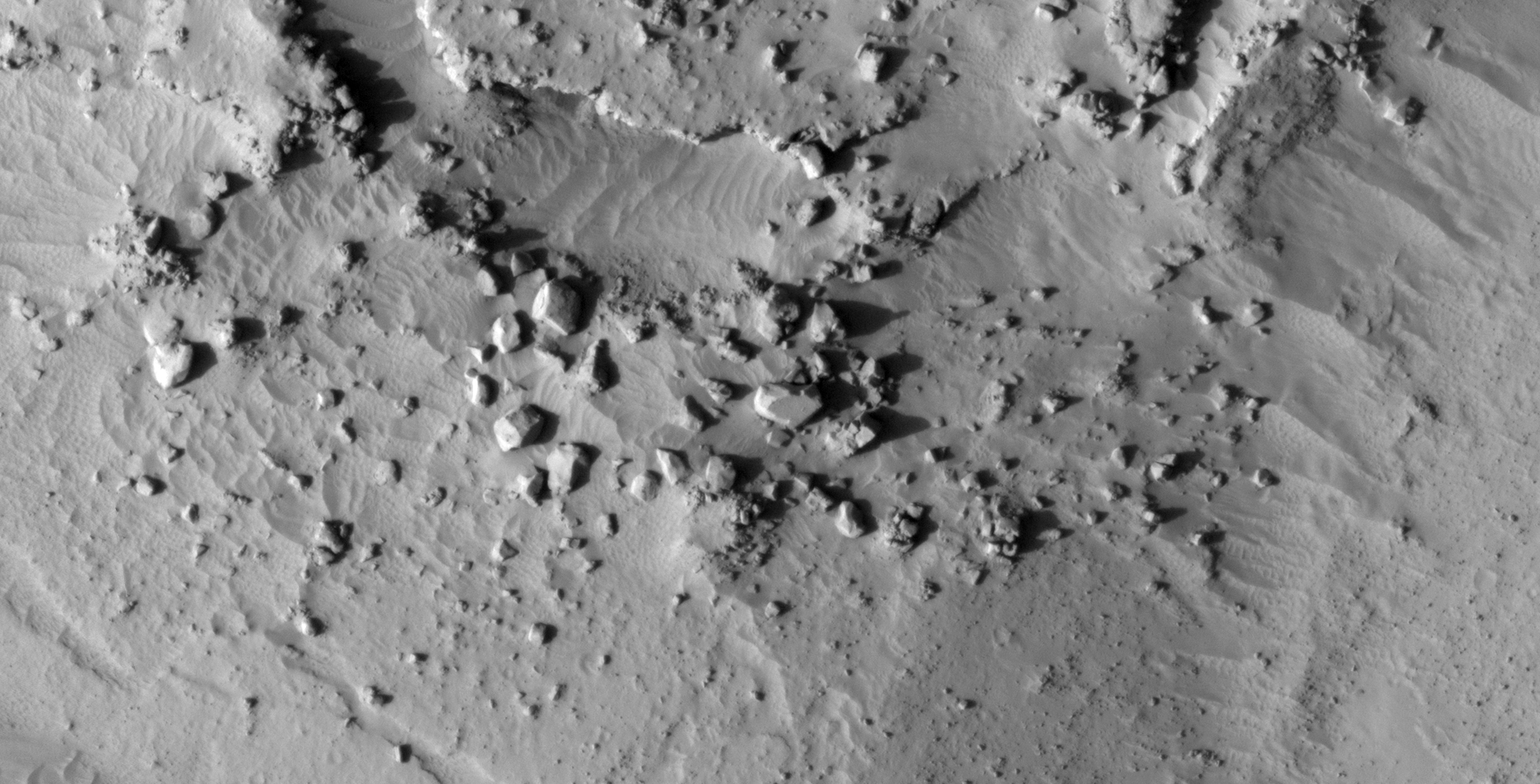
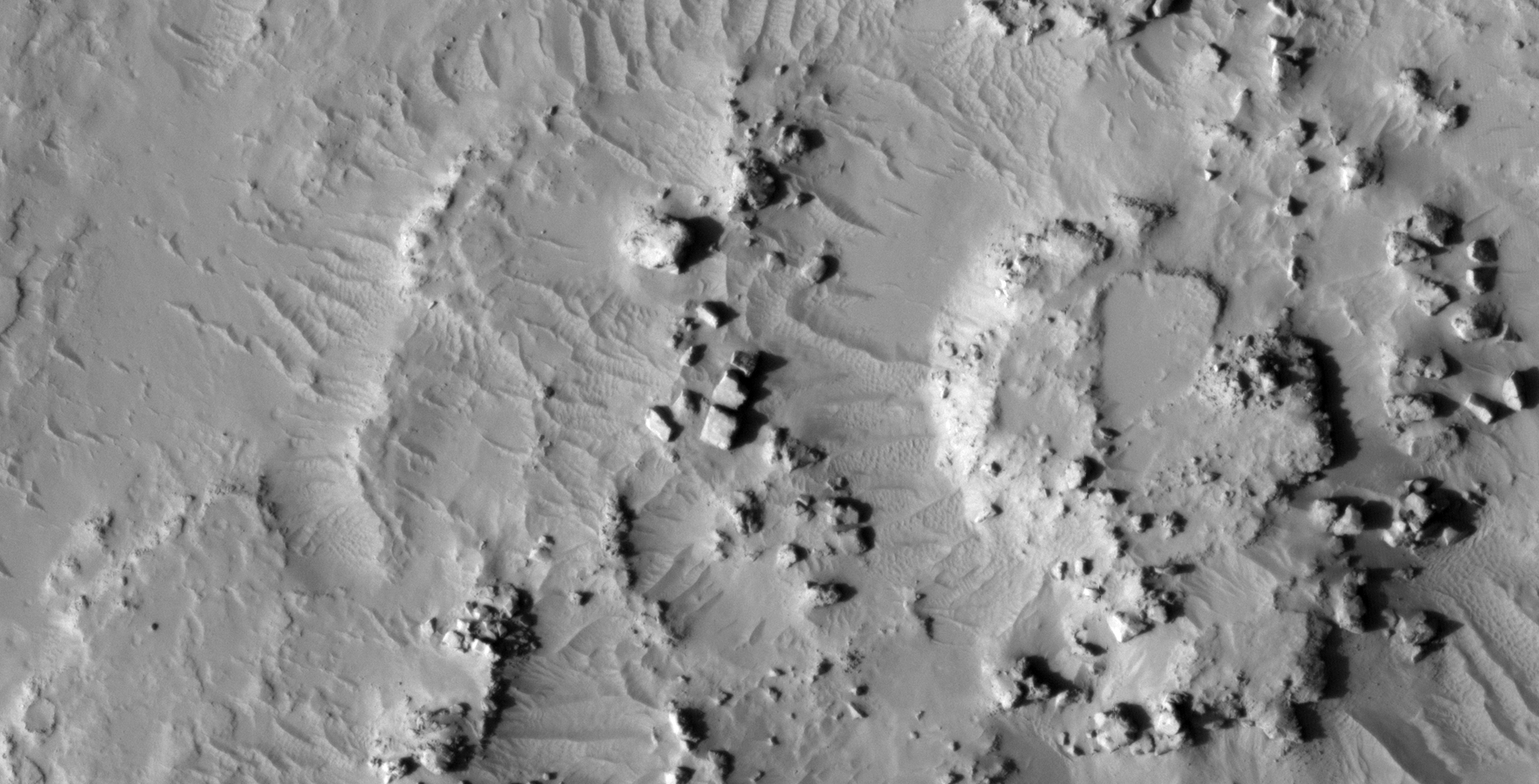
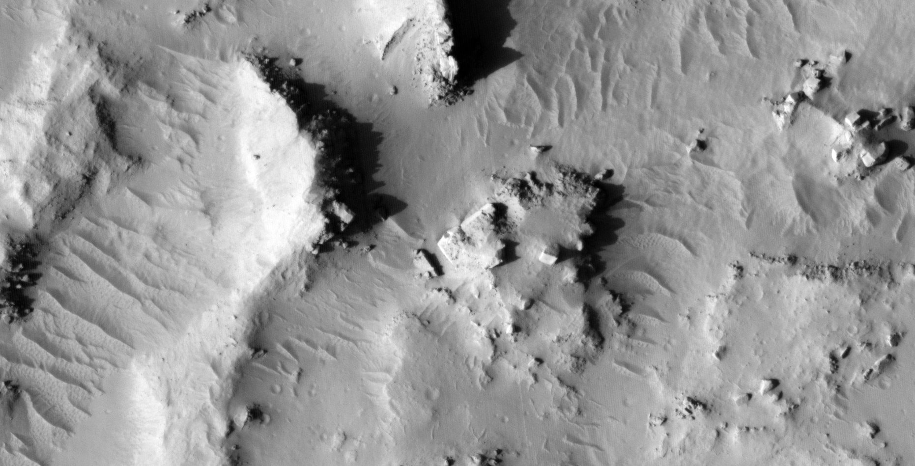
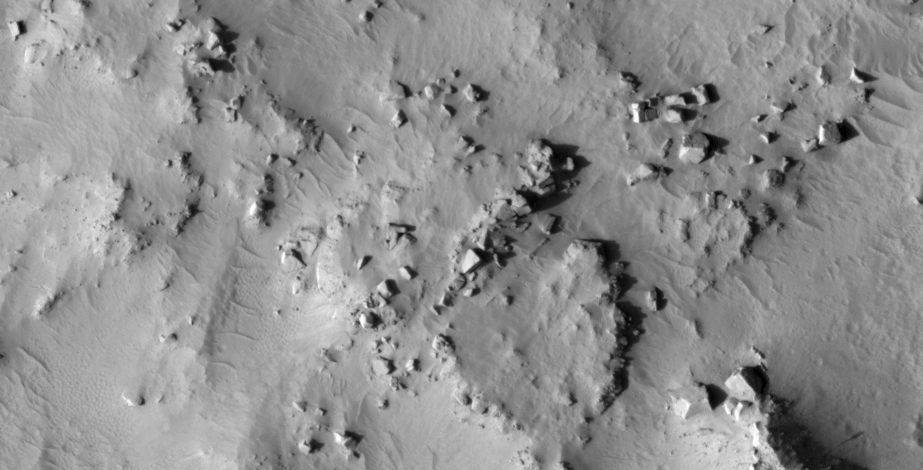
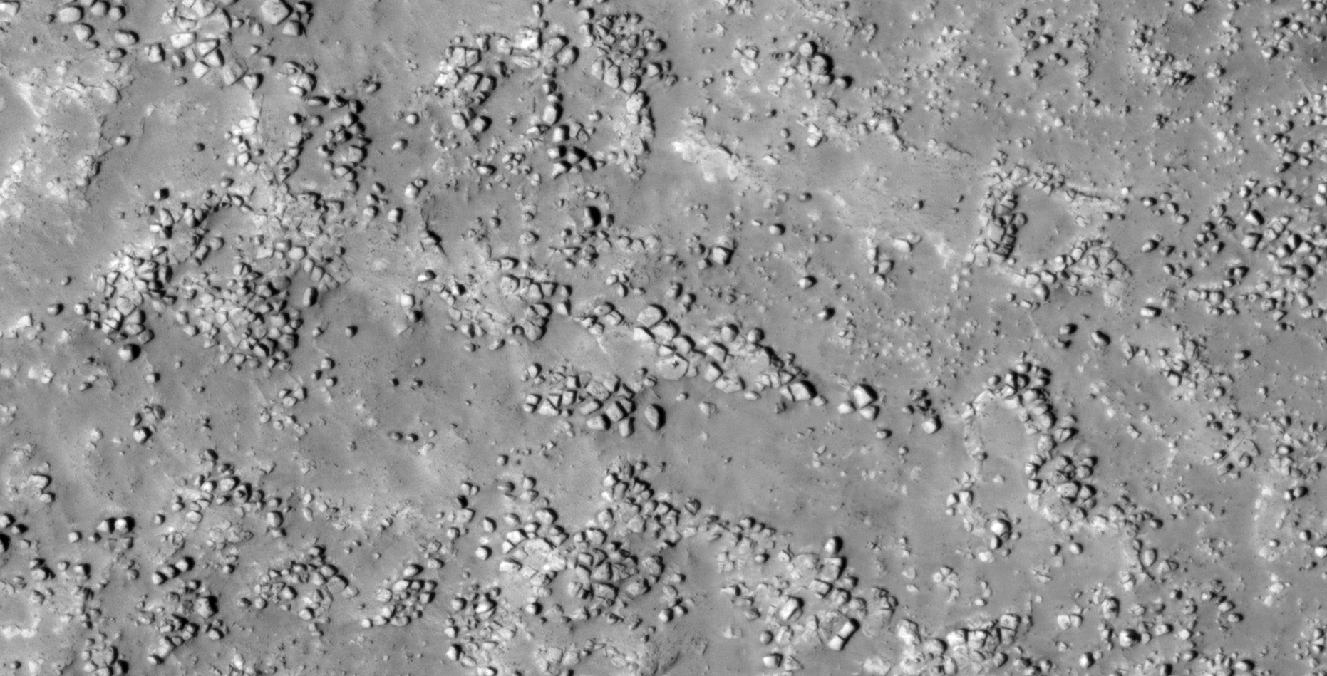
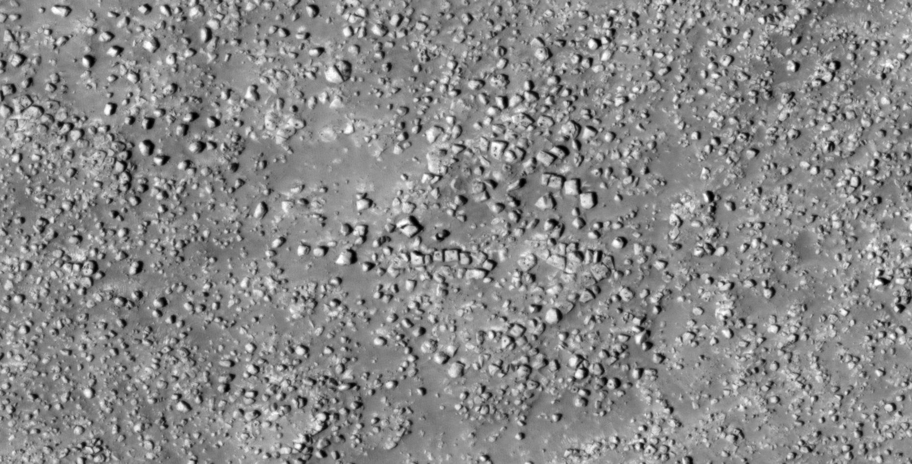
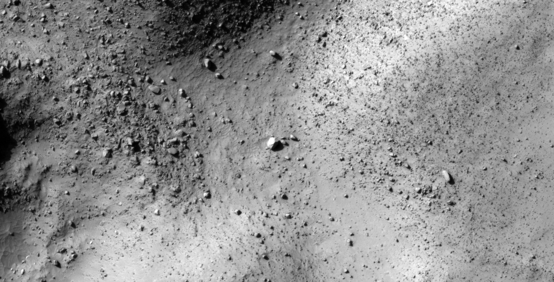
The photograph analyzed here (ESP_048164_1185) was taken by NASA’s Mars Reconnaissance Orbiter on 04 November 2016 and is described as ‘Intercrater Plains.’
Here I present further evidence of Saucer-Shaped Craft found on Mars, not unlike others I have presented in previous Blog posts and YouTube videos.
One craft is seen outside what appears to be a smashed in entrance-way or hangar and the other out in the open on the Martian surface.
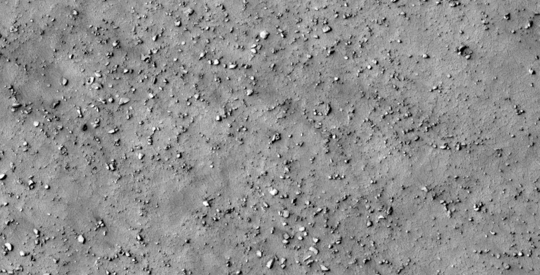
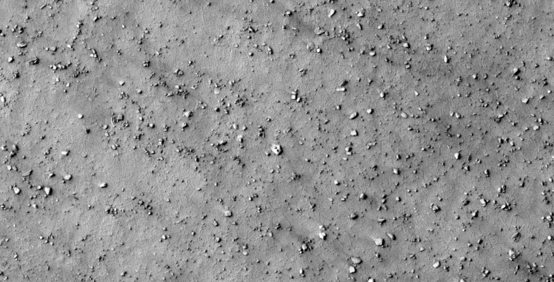
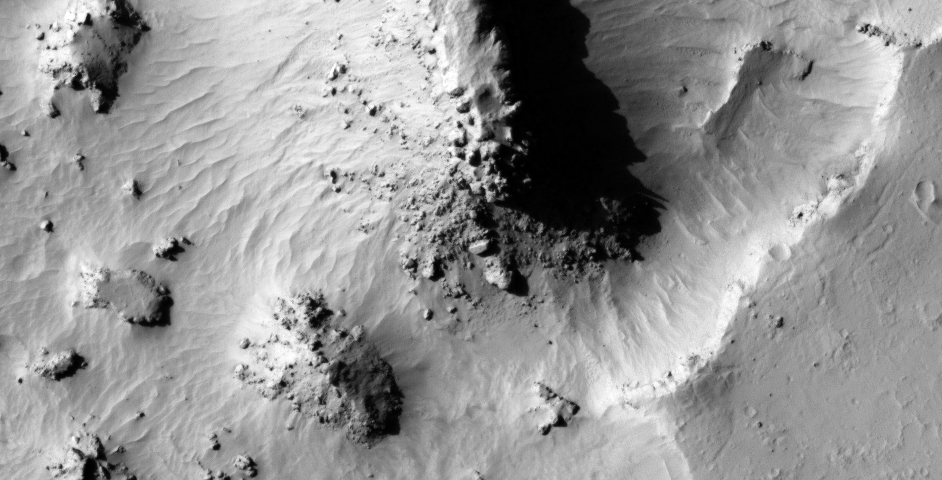
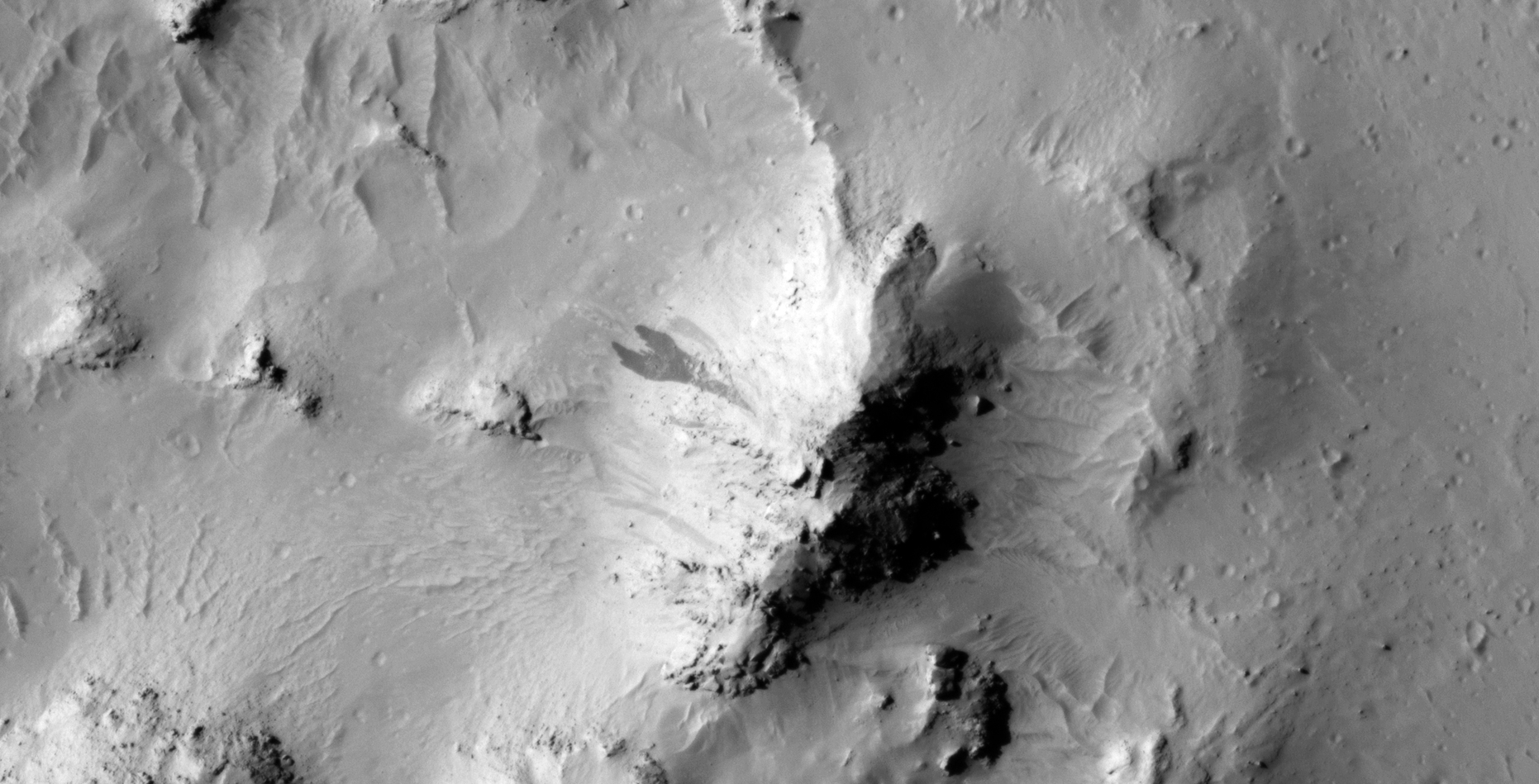
An elevated view of this site being analyzed (click for larger image)Saucer-shaped craft sitting on the Martian surface (click for larger image)A smaller saucer-shaped craft next to what appears to be a wrecked hangar or entrance-way (click for larger image)
Images saved from within HiView or CTX viewer do not include image scale indicators. The image scale indicators I include in images are based on the official resolutions provided by NASA and although I strive to be as accurate as possible there may be slight deviations from the actual scale. Image scale indicators are included as a size approximation tool only.
Geometry lines are mapped as accurately as possible using the limited information, data and mapping tools available at the time, therefore the lines may deviate from target sites by a few kilometres. Revisions may be made in the future as new, more precise information, data and mapping tools become available.
Many or all of the anomalies/artefacts covered in this presentation may be naturally occurring geological features caused by some type of geological processes, however due to the lack of specific information from the source we can only speculate whether these are all natural or some artificial in nature.
In cases where I say an anomaly looks like something I’m attempting to clarify what I see and not specifically that the anomaly is what I say it looks like.
My intention is only to share anomalies I’ve discovered on Mars and not to convince anyone that there is or was a civilization on Mars.
As Will Farrar from WhatsUpInTheSky says: “I see what I see, you see what you see.”
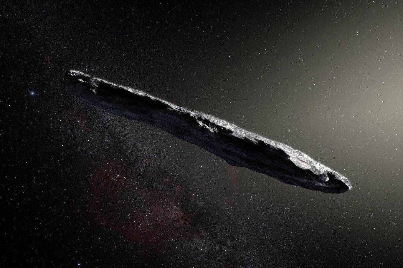
Mainstream Science recently announced that Oumuamua could be and active piece of alien technology.
Up until recently, mainstream science has believed Oumuamua was nothing than an odd-shaped asteroid that entered and left our solar system from interstellar space.
Over the past weekend however scientists at Harvard University announced that Oumuamua very likely is an active piece of alien technology.
Artists impression of Oumuamua, Source: standard.co.uk (click for larger image)
Following are similar objects photographed near Mars by Curiosity Rover and Phobos 2.
Phobos 2:
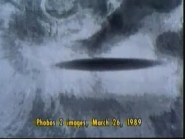
In 1989 the Russian Martian Orbiter Phobos 2 stopped working moments after photographing a cigar-shaped object between it and the the Martian moon Phobos. It also managed to photograph a long cigar-shaped shadow on the Martian surface.
Phobos in the background with cigar-shaped object in the foreground photographed moments before Phobos 2 stopped workingLong, narrow shadow photographed on Mars moments before Phobos 2 stopped workingSoviet aviation veteran and UFO enthusiast Marina Popovich died in Krasnodar, Russia, on November 30th, 2017. She was 86 years old. Here she is seen showing a photograph of the Phobos 2 incident.
Curiosity Rover:
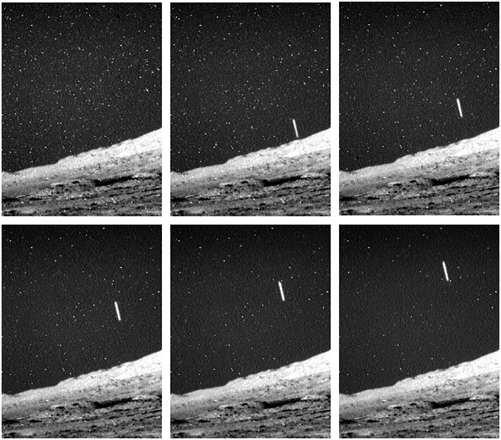
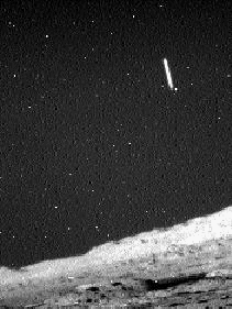
On 28 April 2014 the Curiosity Rover photographed a long cigar-shaped object orbiting Mars.
The frames snapped over a period of between 8 and 10 minutes show the object slowly passing over Curiosity Rover.
Sequence of frames snapped by Curiosity Rover showing the cigar-shaped object overheadAnimation showing the cigar-shaped object disappearing behind the Martian horizon (duration: between 8 and 10 minutes)
Starting with the gun camera footage released by To The Stars Academy in December 2017, liquid water discovered on Mars and Donald Trump launching the Space Force to this latest revelation … are we getting closer to Full Disclosure?
My YouTube video featuring ‘Mainstream Science: Oumuamua Could Be Active Alien Technology – The Implications:’
Subscribe to my YouTube channel and turn on notifications to be notified when new videos are uploaded.
Disclaimer:
Images saved from within HiView or CTX viewer do not include image scale indicators. The image scale indicators I include in images are based on the official resolutions provided by NASA and although I strive to be as accurate as possible there may be slight deviations from the actual scale. Image scale indicators are included as a size approximation tool only.
Geometry lines are mapped as accurately as possible using the limited information, data and mapping tools available at the time, therefore the lines may deviate from target sites by a few kilometres. Revisions may be made in the future as new, more precise information, data and mapping tools become available.
Many or all of the anomalies/artefacts covered in this presentation may be naturally occurring geological features caused by some type of geological processes, however due to the lack of specific information from the source we can only speculate whether these are all natural or some artificial in nature.
In cases where I say an anomaly looks like something I’m attempting to clarify what I see and not specifically that the anomaly is what I say it looks like.
My intention is only to share anomalies I’ve discovered on Mars and not to convince anyone that there is or was a civilization on Mars.
As Will Farrar from WhatsUpInTheSky says: “I see what I see, you see what you see.”
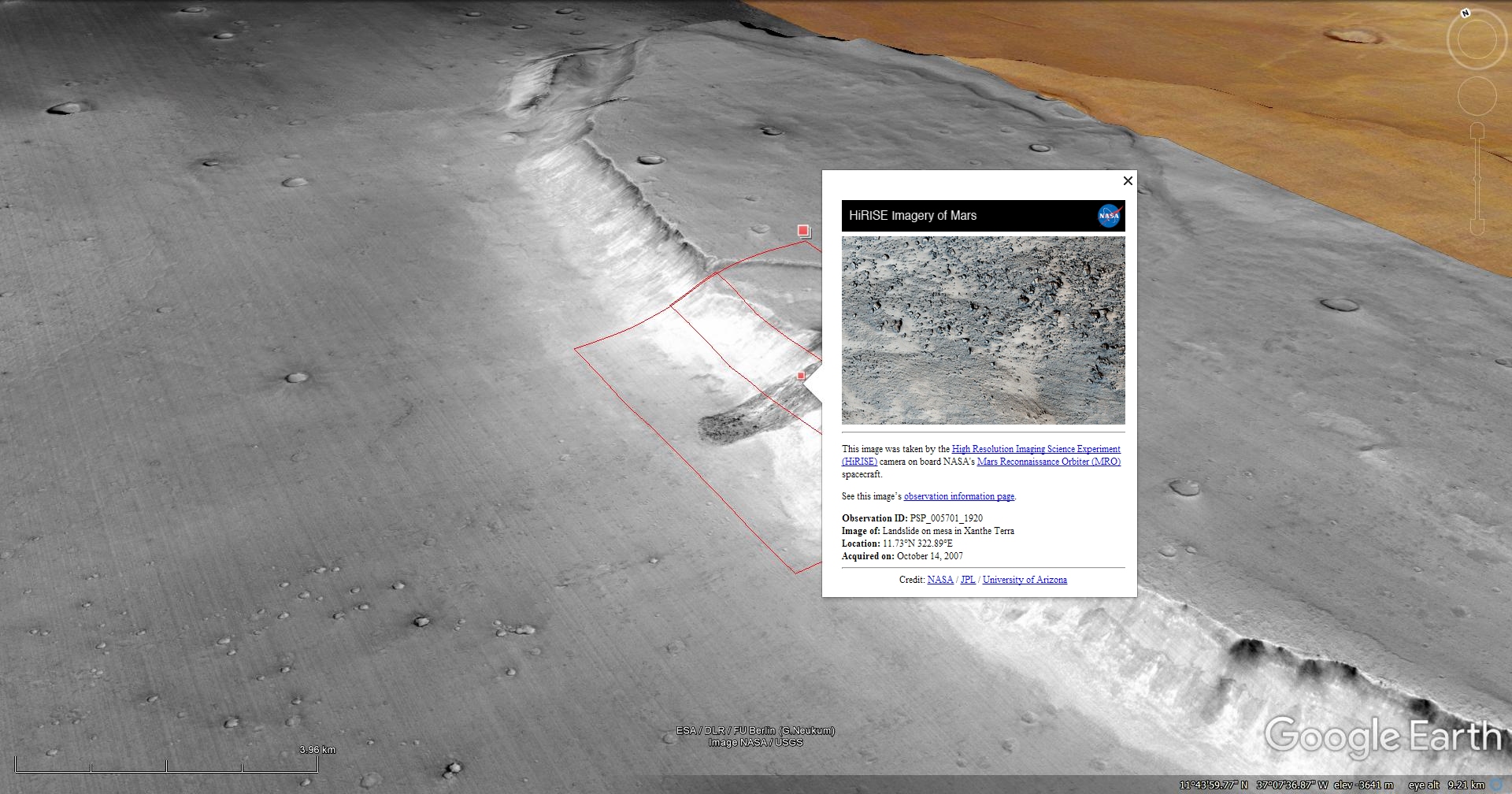
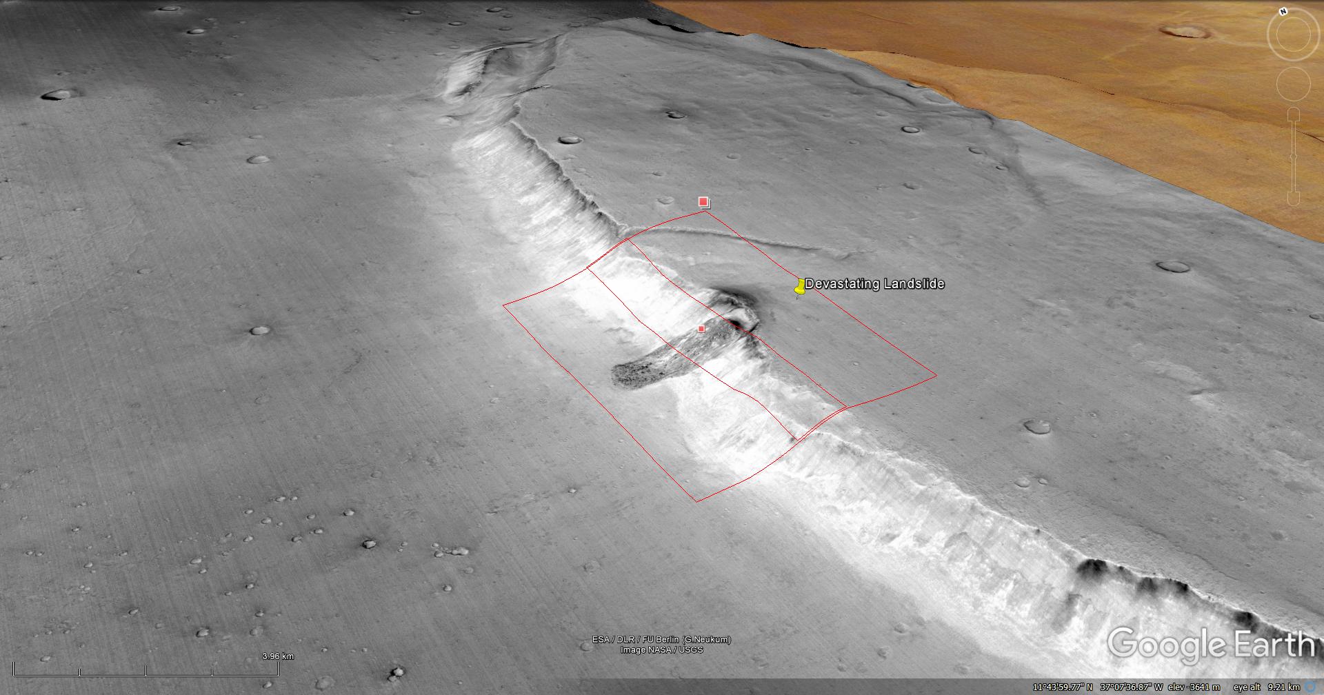
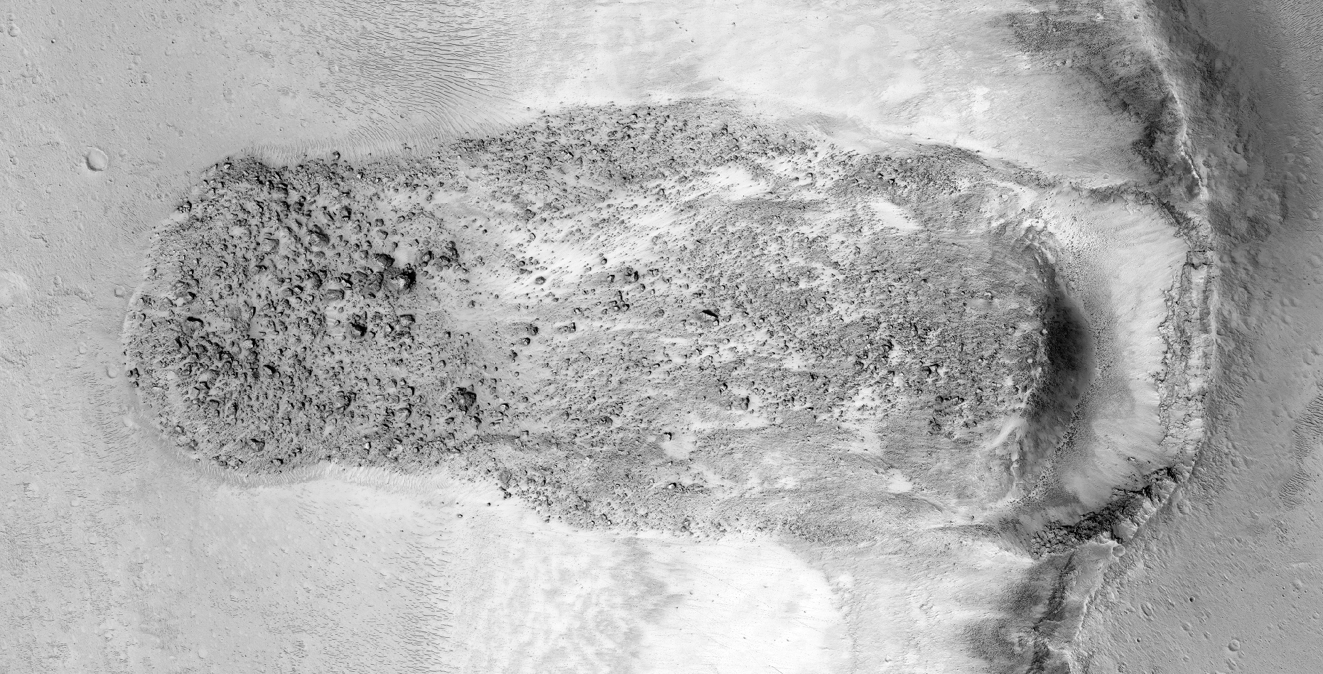
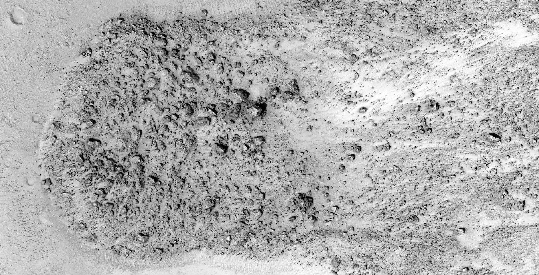
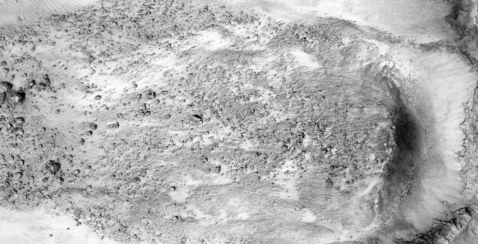
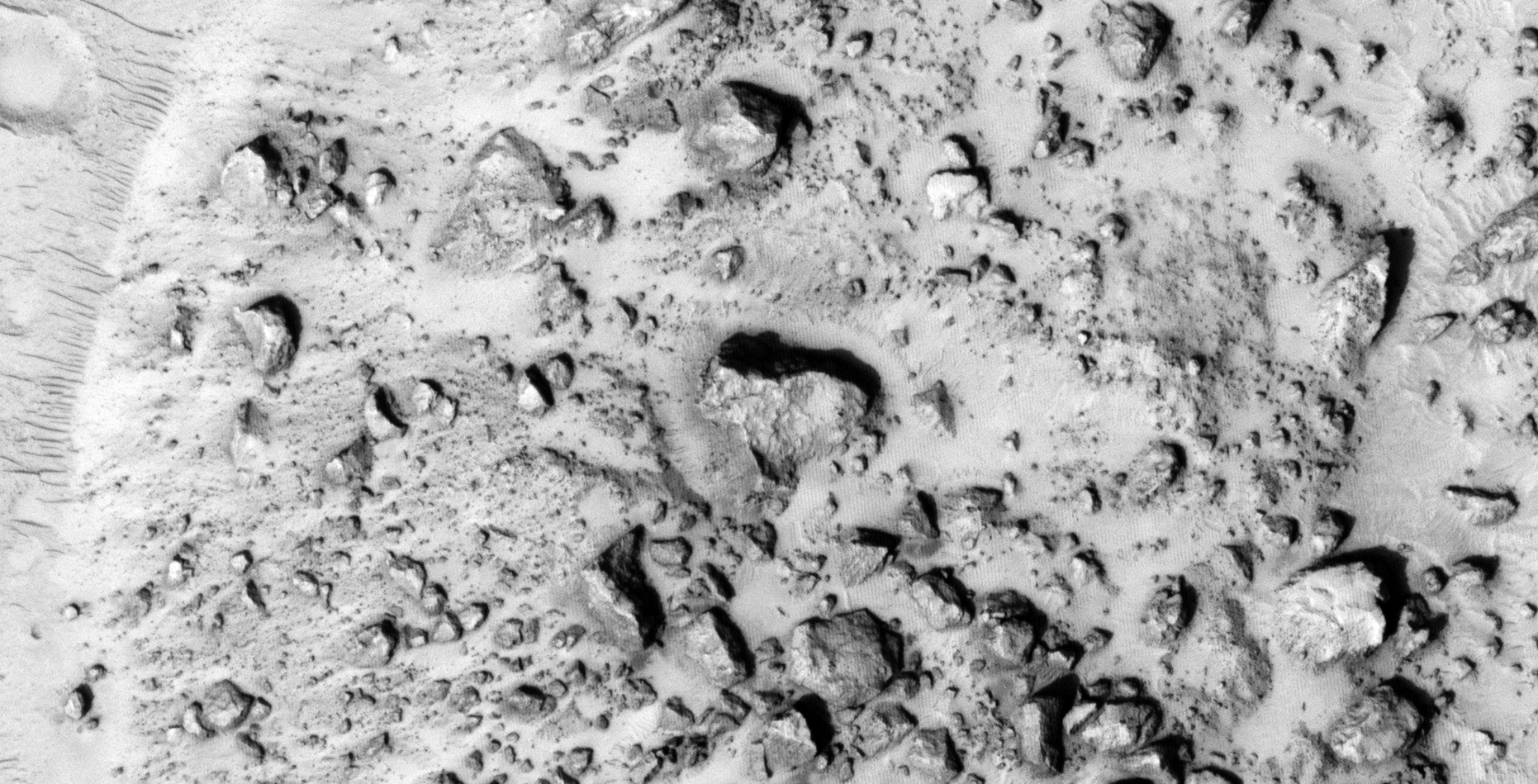
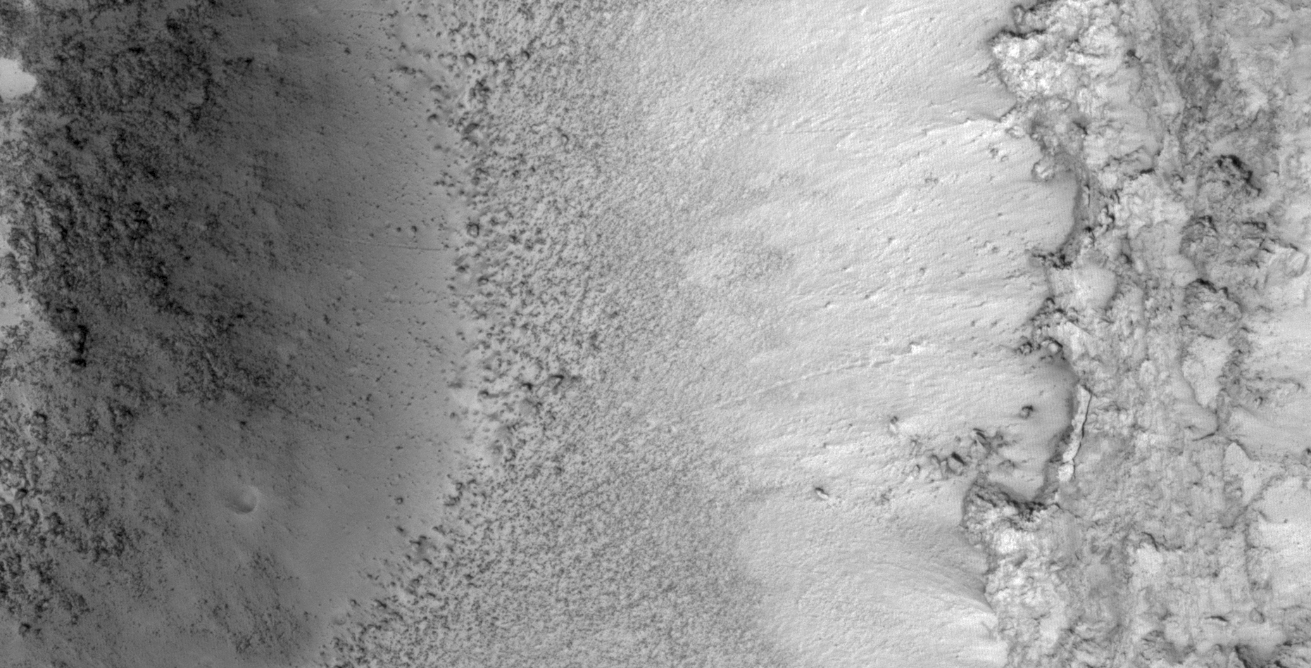
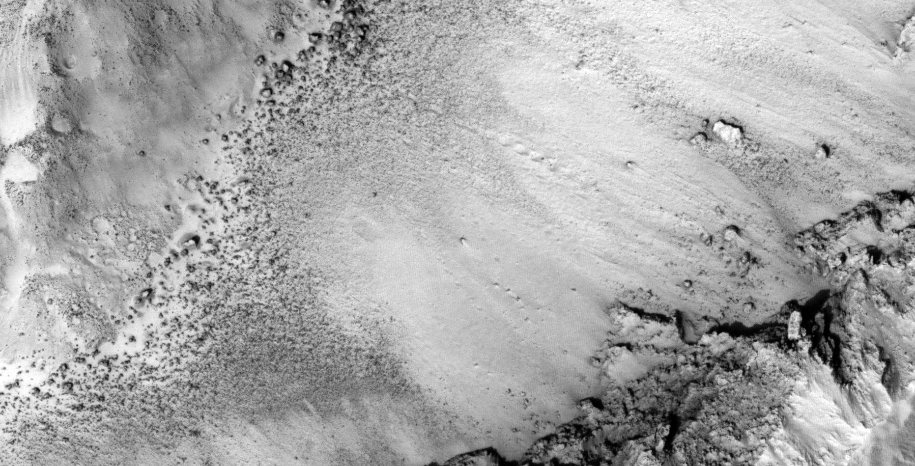
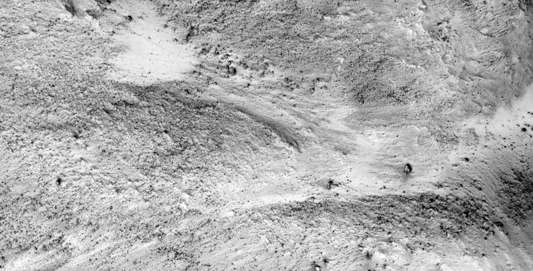
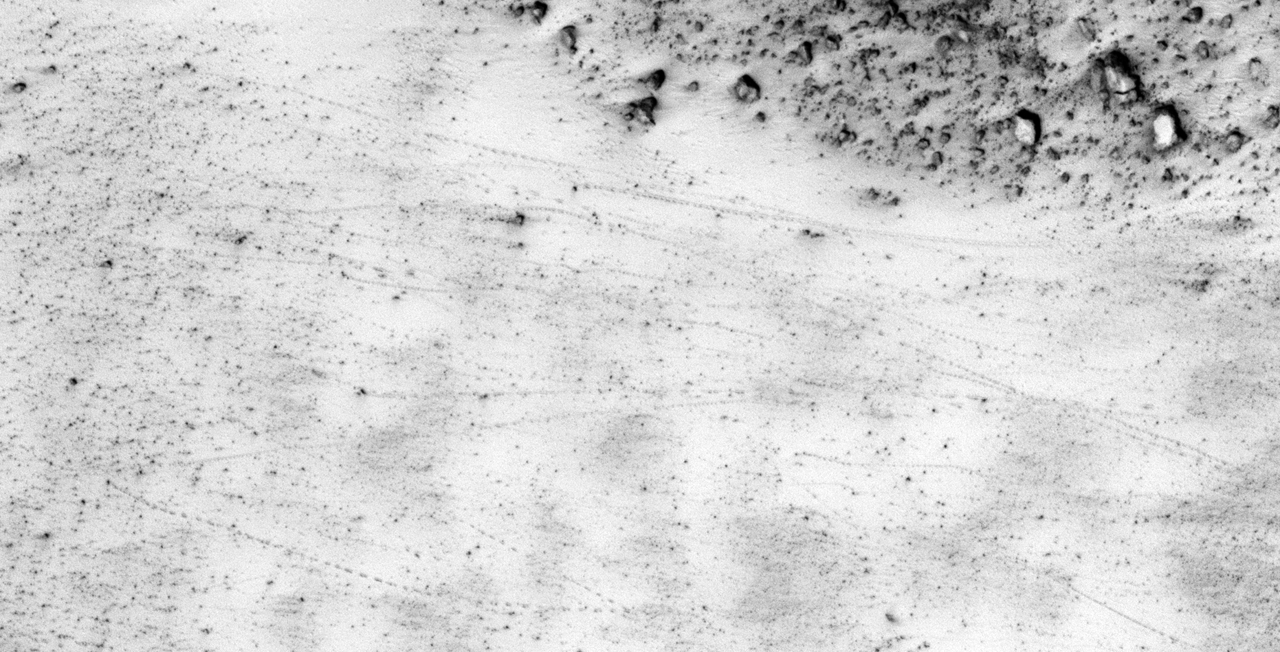
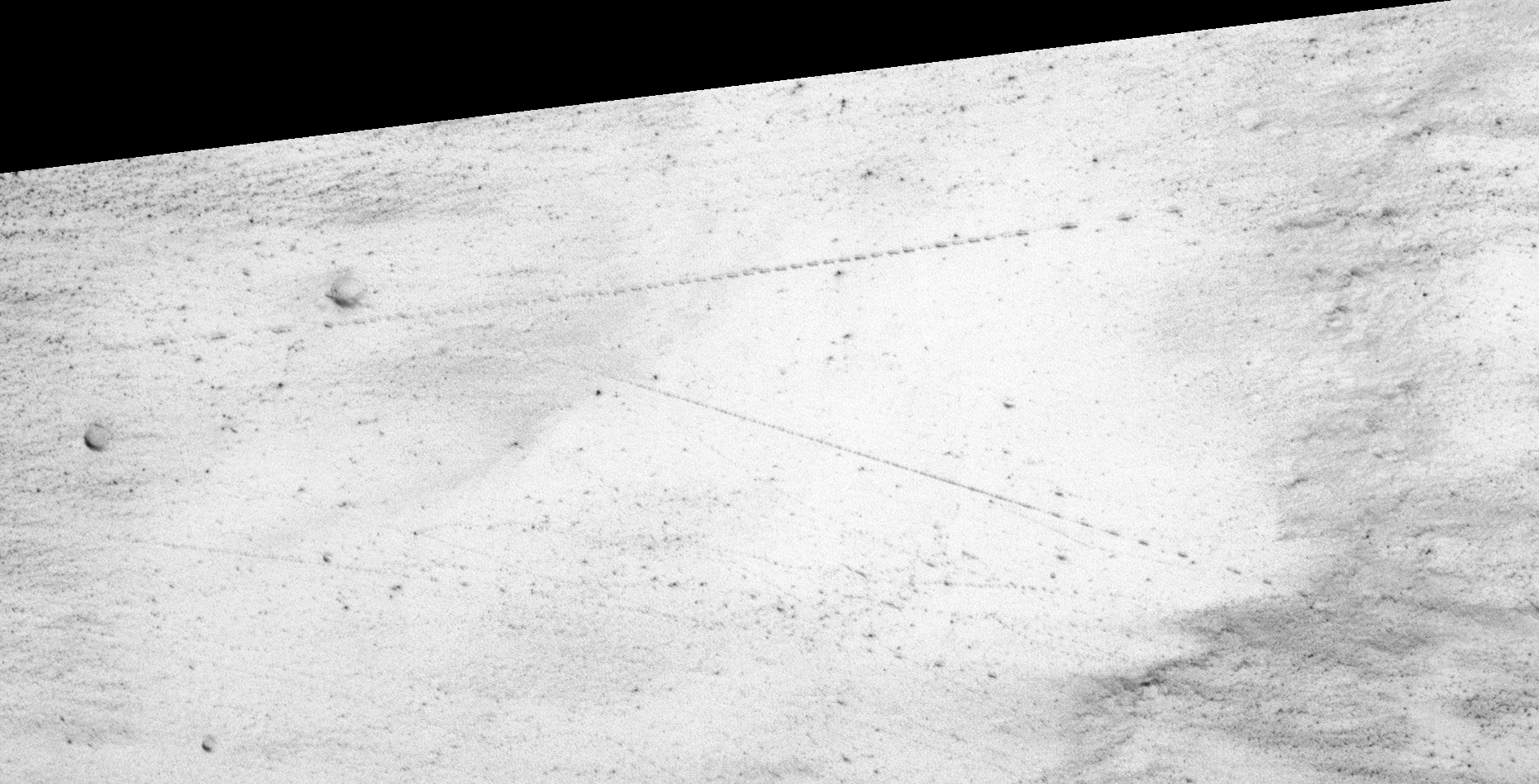
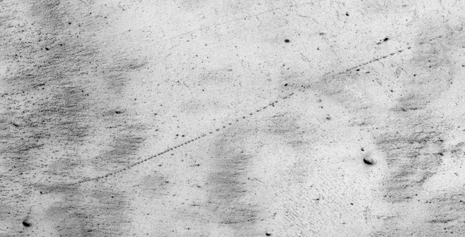
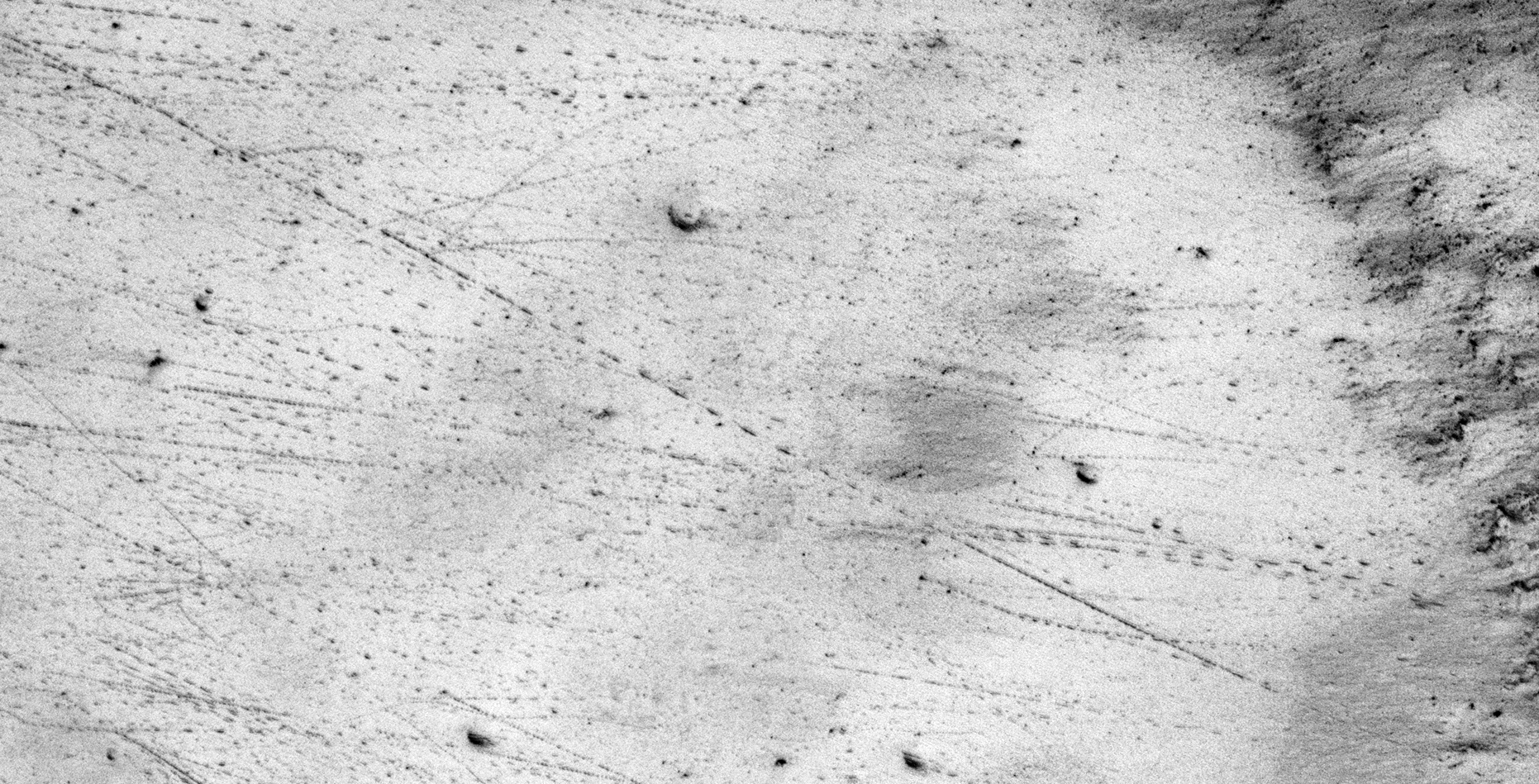
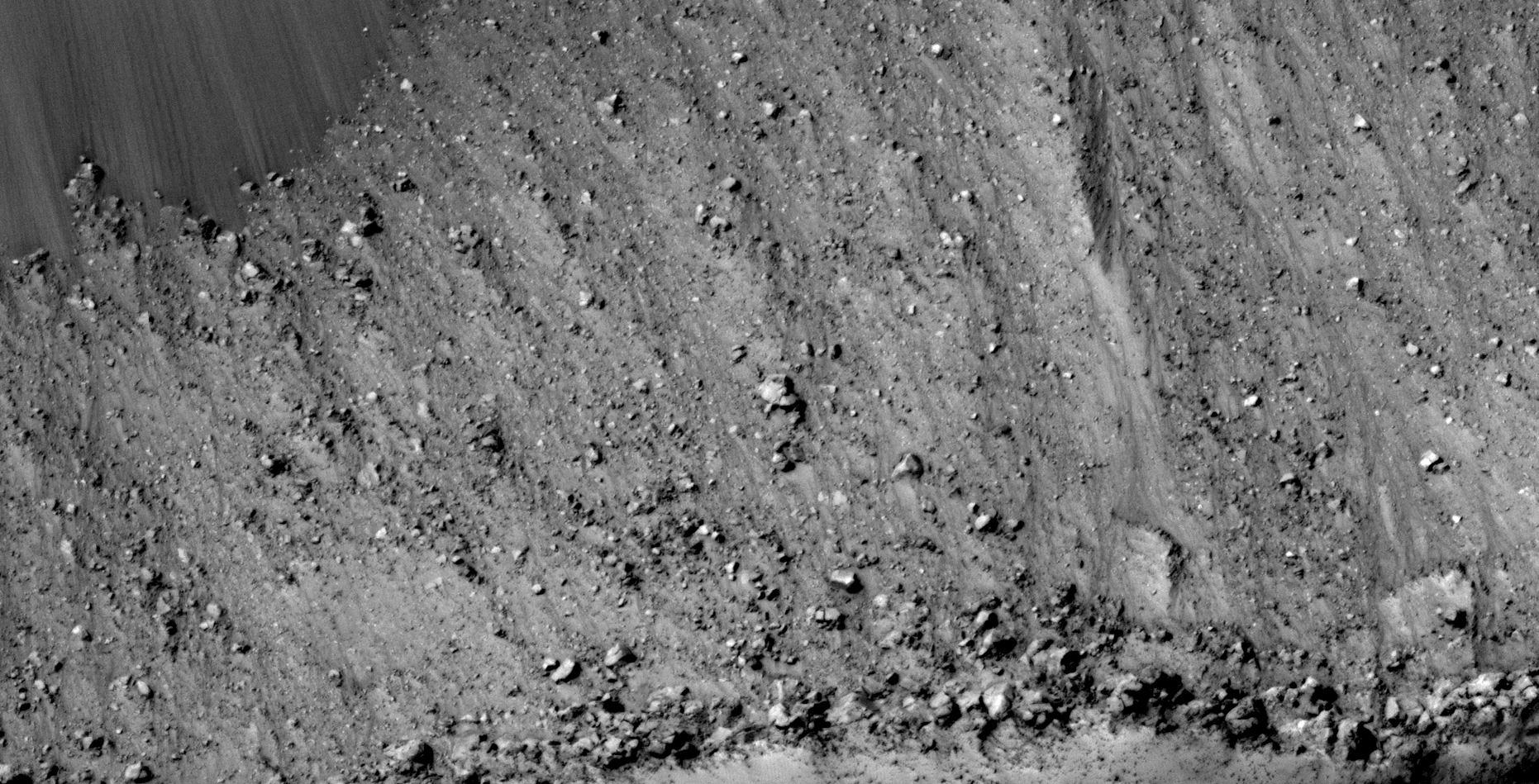
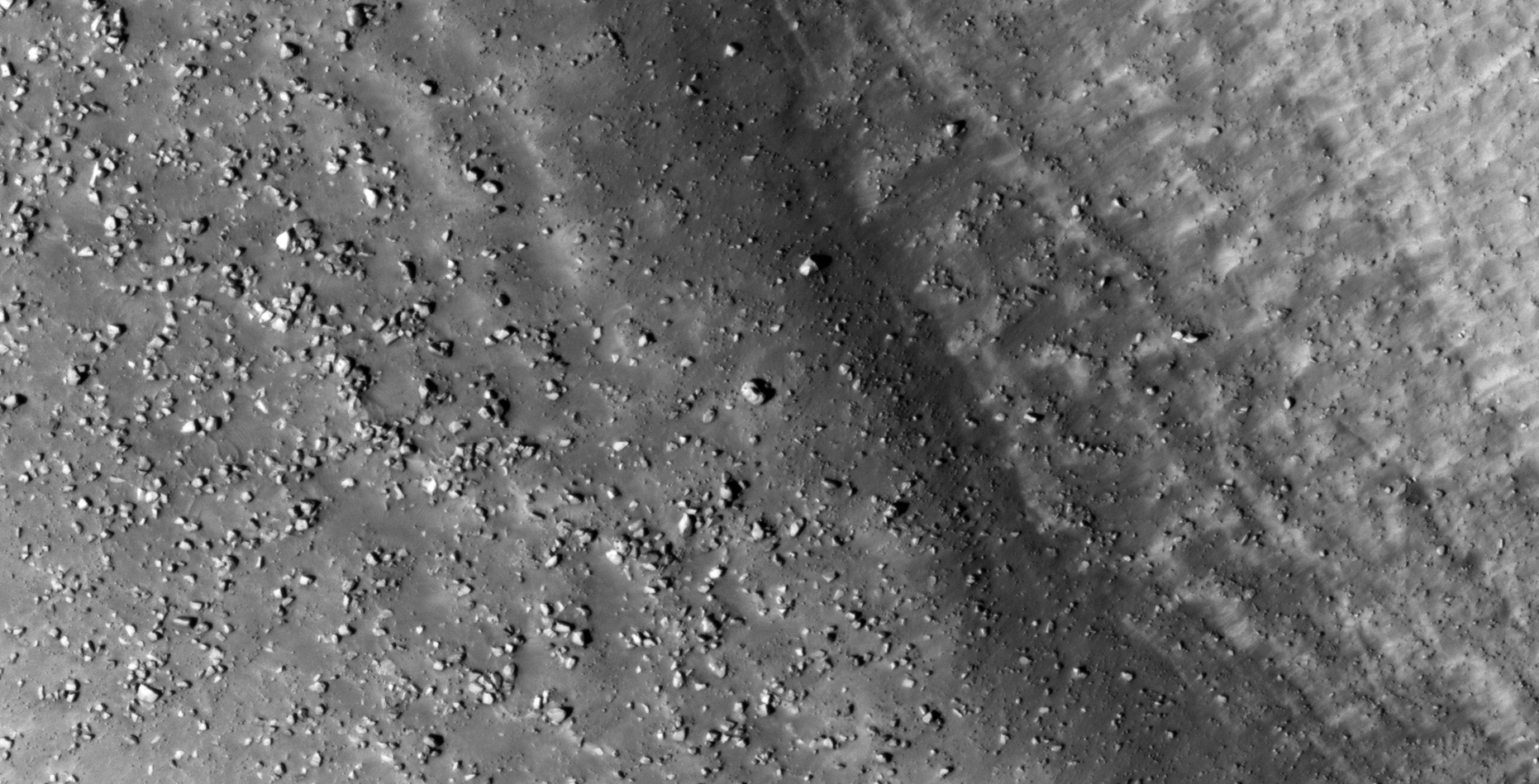
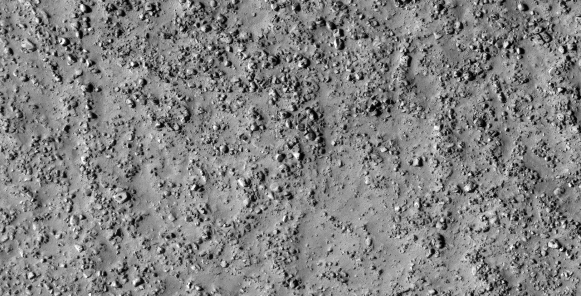
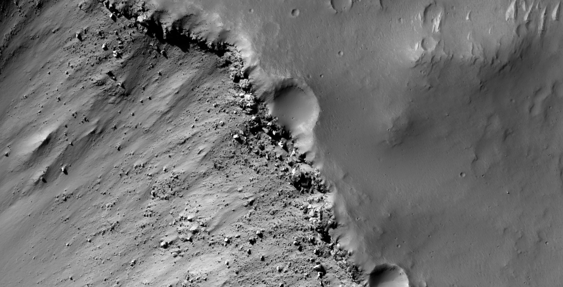
A quick update on the Elongated Cloud photographed by Mars Express (ESA) as well as a massive Martian landslide photographed by HiRISE (NASA).
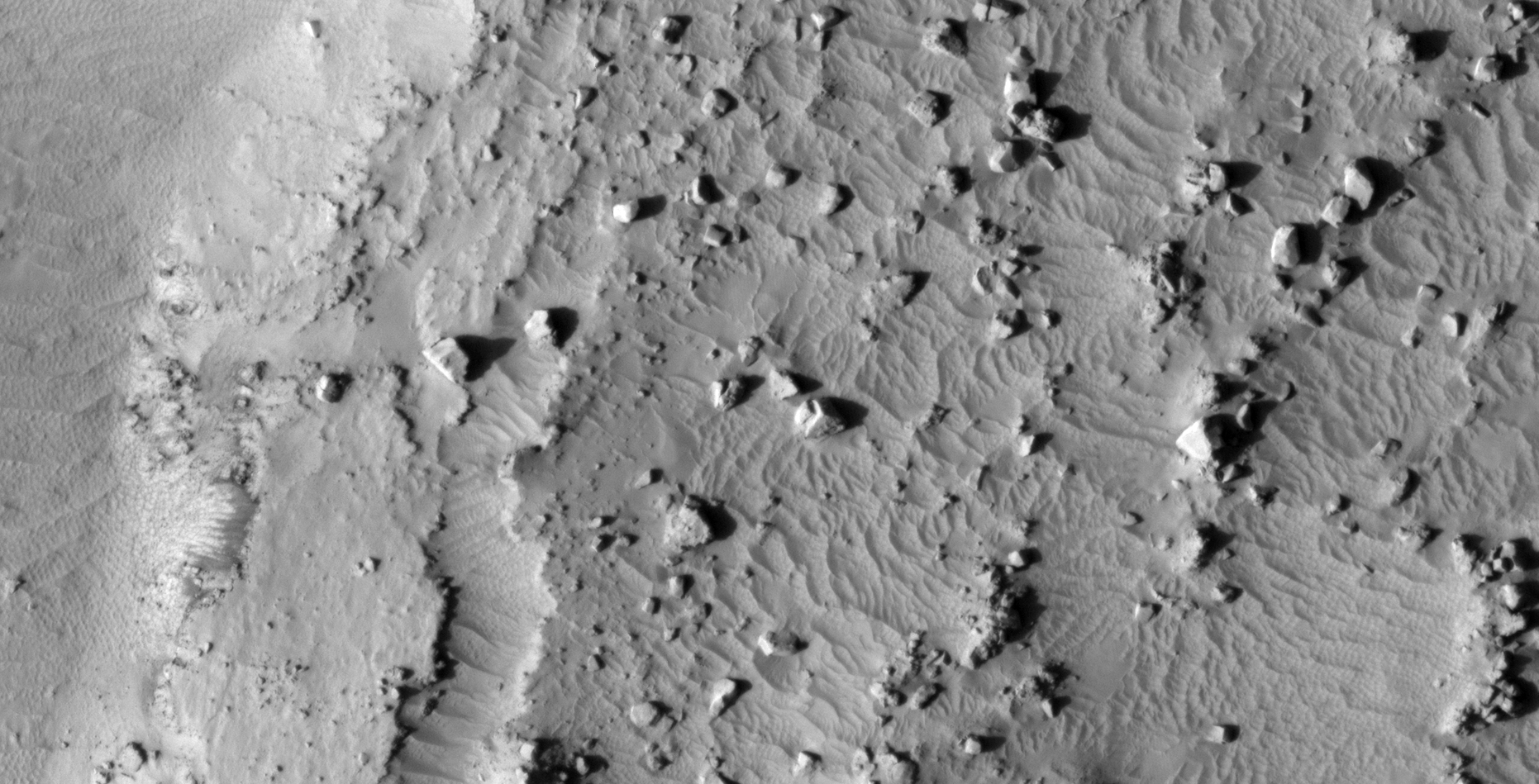
The landslide shown here is approximately 1.5 km long and 500 metres wide and it shows possible evidence of liquid water in the area some time ago.
The boulders are huge and have random sizes and shapes and are perfect examples of what natural boulders look like, they look nothing like the megalithic blocks with knobs or features on their surfaces as I have shown in previous Blog posts or YouTube video’s.
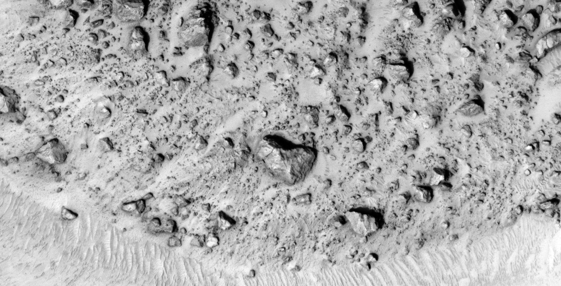
There is one anomaly that I found that looks unnatural, the artefact looks like a small rectangular metal plate next to a larger rectangular artefact.
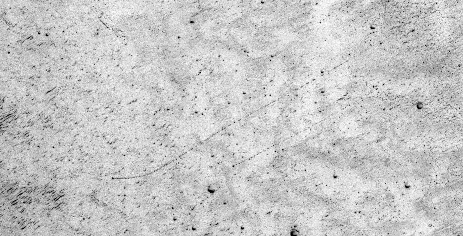
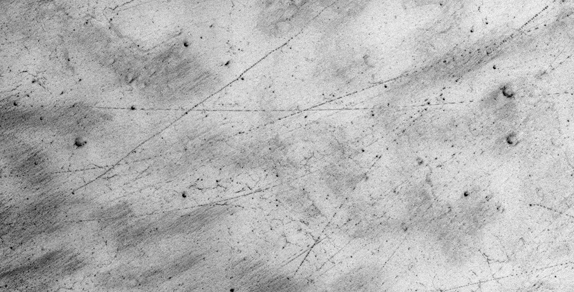
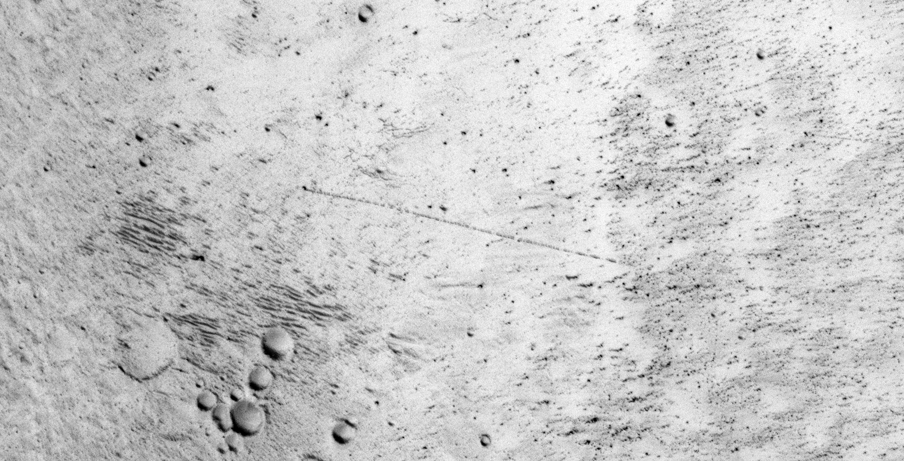
Also shown here are tracks left by rolling boulders/rocks as well as possible evidence of some type of vehicles leaving tracks in these sand. Some tracks intersect each other and abruptly change direction.
An elevated view of this site being analyzed (click for larger image)An elevated view of this site being analyzed (click for larger image)A colour strip from the JP2 showing possible evidence of liquid water flow in the distant past (click for larger image)
The landslide (zoomed out)
The landslide zoomed out (click for larger image)The landslide zoomed out (click for larger image)The landslide zoomed out (click for larger image)The landslide zoomed out (click for larger image)
The boulders and rocks (actual size)
(click for larger image)(click for larger image)(click for larger image)(click for larger image)(click for larger image)Small rectangular metal plate next to a larger rectangular artefact (click for larger image)
Possible evidence of liquid water flow (actual size)
(click for larger image)(click for larger image)(click for larger image)
Tracks left by rolling boulders and possibly vehicles (actual size)
(click for larger image)(click for larger image)(click for larger image)(click for larger image)(click for larger image)(click for larger image)(click for larger image)(click for larger image)(click for larger image)(click for larger image)
Images saved from within HiView or CTX viewer do not include image scale indicators. The image scale indicators I include in images are based on the official resolutions provided by NASA and although I strive to be as accurate as possible there may be slight deviations from the actual scale. Image scale indicators are included as a size approximation tool only.
Geometry lines are mapped as accurately as possible using the limited information, data and mapping tools available at the time, therefore the lines may deviate from target sites by a few kilometres. Revisions may be made in the future as new, more precise information, data and mapping tools become available.
Many or all of the anomalies/artefacts covered in this presentation may be naturally occurring geological features caused by some type of geological processes, however due to the lack of specific information from the source we can only speculate whether these are all natural or some artificial in nature.
In cases where I say an anomaly looks like something I’m attempting to clarify what I see and not specifically that the anomaly is what I say it looks like.
My intention is only to share anomalies I’ve discovered on Mars and not to convince anyone that there is or was a civilization on Mars.
As Will Farrar from WhatsUpInTheSky says: “I see what I see, you see what you see.”
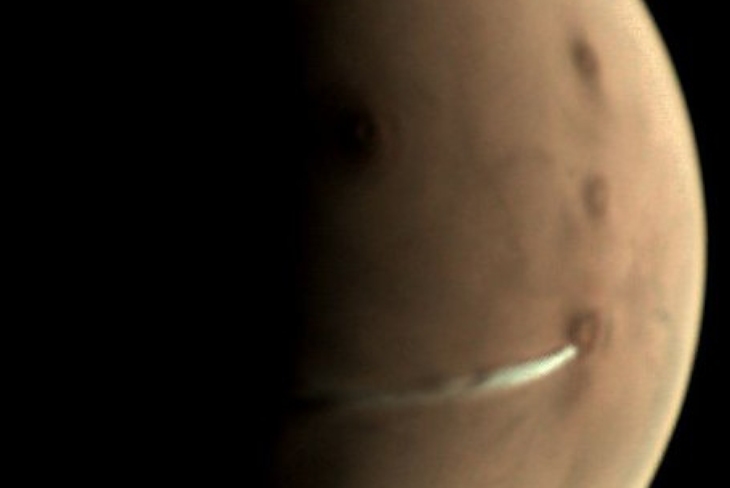
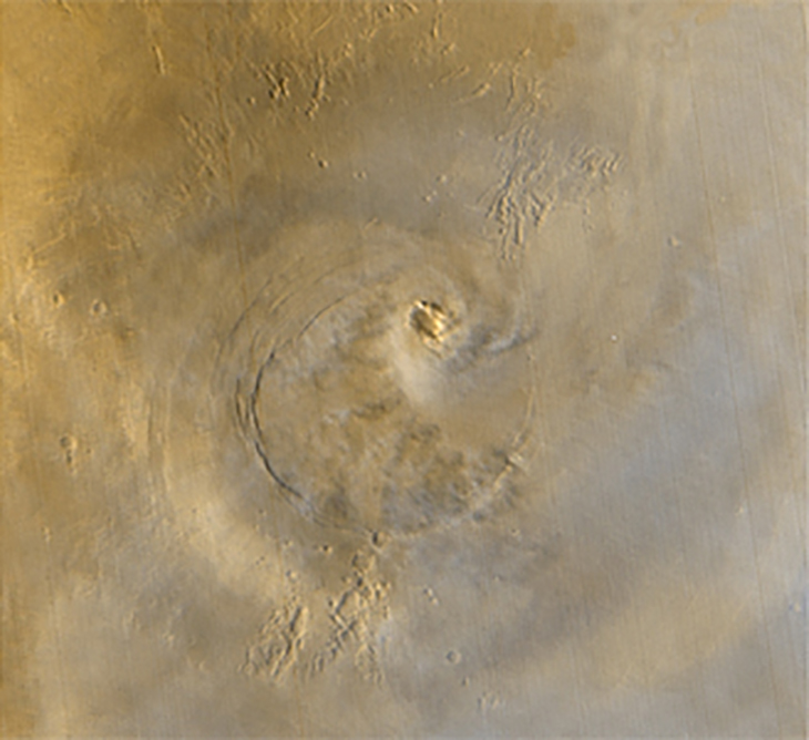
On 13 September 2018 the ESA’s Mars Express Orbiter photographed what scientists call an elongated cloud on Mars just to the West of Arsia Mons which extends for 1500 km westward.
Elongated cloud on Mars photographed by Mars Express Orbiter, Source: ESA
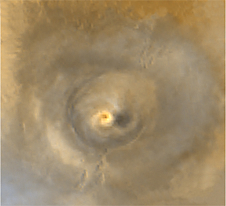
Here is a perfect example of what an erupting volcano’s ash cloud looks like on Earth, note the similarity between this ash cloud and the one seen on Mars (the difference being the direction in which the wind is blowing):
Pavlof Volcano in the Aleutian Arc photographed by NASA. The volcano began erupting 13 May 2013, Source: NASA
The so-called elongated cloud on Mars has been under close observation by the ESA for over a month.
Scientists say that this is nothing more than a cloud which is not uncommon and that clouds often form in this area, furthermore that this is not caused by volcanic activity. Scientists have long believed that the planet is geologically inactive.
Following are two photographs taken by NASA’s Mars Global Surveyor showing cloud formations that have been spotted near Arsia Mons in the past:
Cloud formation photographed by Mars Global Surveyor on 19 June 2001, Source: NASACloud formation photographed by Mars Global Surveyor on 24 April 2003, Source: NASA
Taking a closer look this looks more like a vapor trail emanating from the west flank of Arsia Mons blown westwards by a Martian jet stream. This vapor trail looks nothing like the two examples of repeat cloud formations shown by NASA above. In my opinion this looks nothing like a typical cloud, this vapor formation clearly has a very dense starting point and gets gradually thinner as it is blown further from the source.
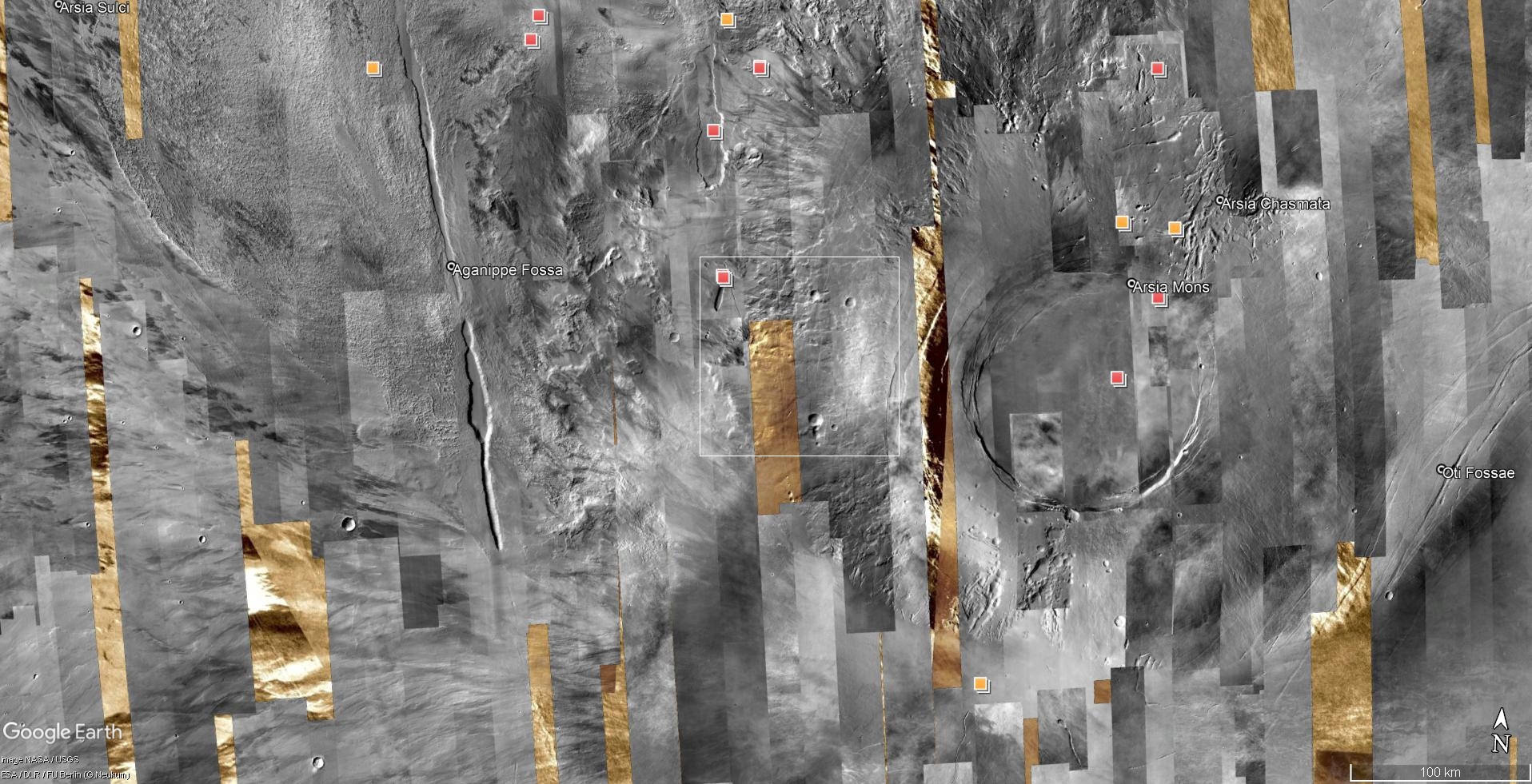
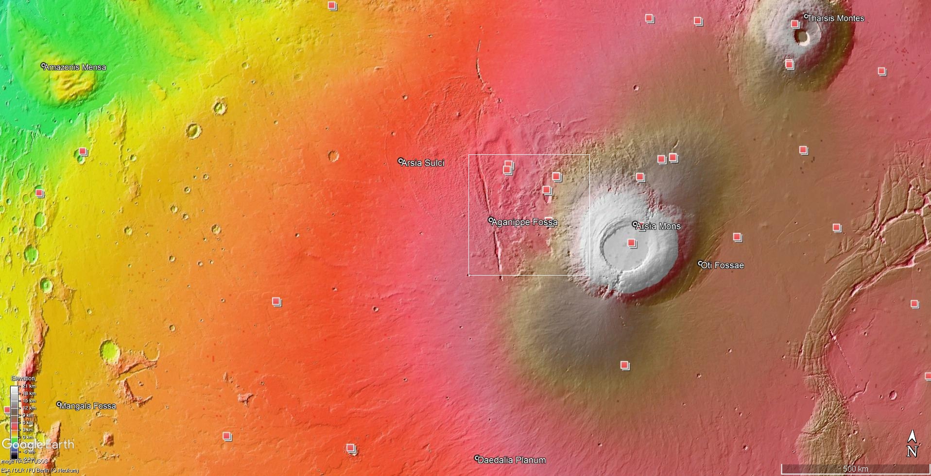
The two images below are from Google Earth Mars. The white rectangles in each image show the area from where I speculate the vapor trail starts.
Arsia Mons photographed by the HiRise CTX Camera, Source: NASAArsia Mons Elevation, Source: NASA
HiRISE photographs within the white rectangles show evidence of huge pits or holes from which this vapor trail could be emanating.
Could this discovery by the ESA show a persistent could, an extinct volcano that has become active again or evidence of some type of terraforming process?
Images saved from within HiView or CTX viewer do not include image scale indicators. The image scale indicators I include in images are based on the official resolutions provided by NASA and although I strive to be as accurate as possible there may be slight deviations from the actual scale. Image scale indicators are included as a size approximation tool only.
Geometry lines are mapped as accurately as possible using the limited information, data and mapping tools available at the time, therefore the lines may deviate from target sites by a few kilometres. Revisions may be made in the future as new, more precise information, data and mapping tools become available.
Many or all of the anomalies/artefacts covered in this presentation may be naturally occurring geological features caused by some type of geological processes, however due to the lack of specific information from the source we can only speculate whether these are all natural or some artificial in nature.
In cases where I say an anomaly looks like something I’m attempting to clarify what I see and not specifically that the anomaly is what I say it looks like.
My intention is only to share anomalies I’ve discovered on Mars and not to convince anyone that there is or was a civilization on Mars.
As Will Farrar from WhatsUpInTheSky says: “I see what I see, you see what you see.”
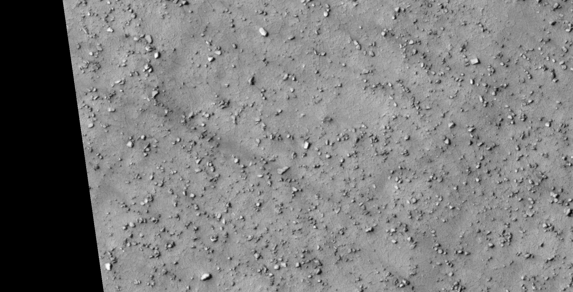
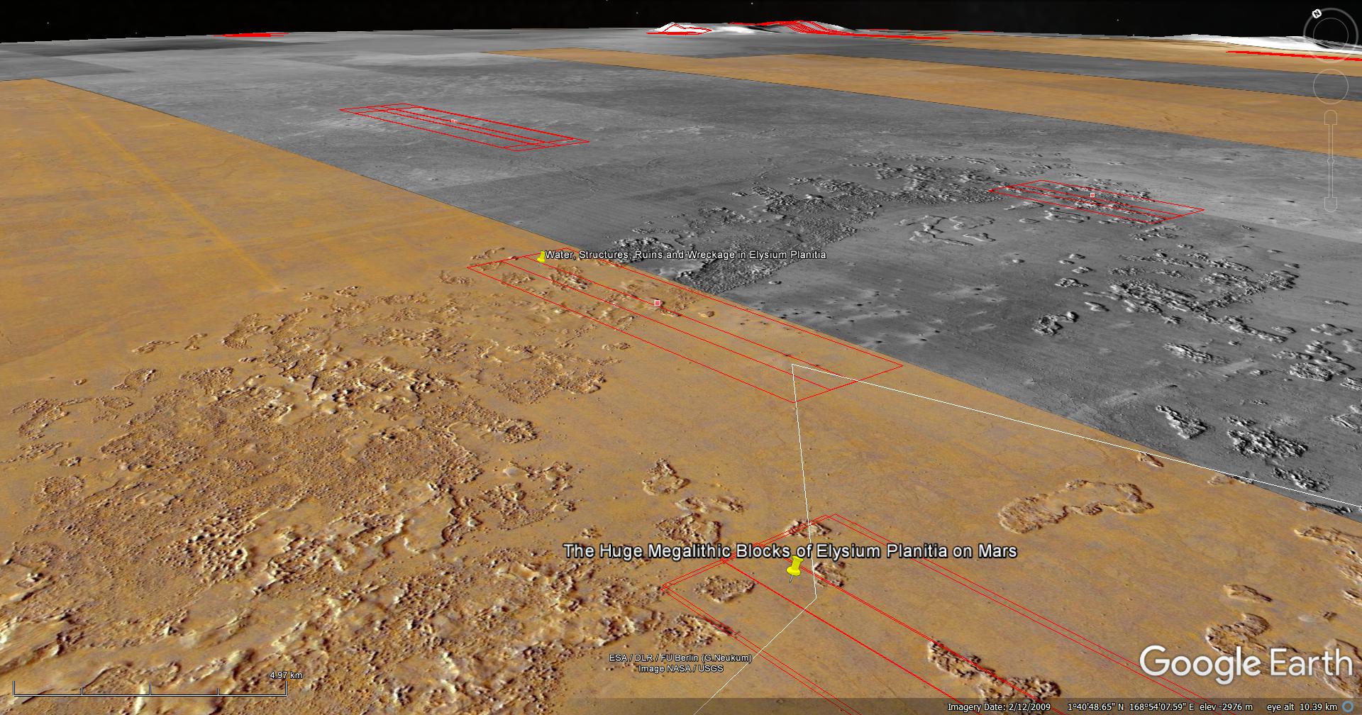
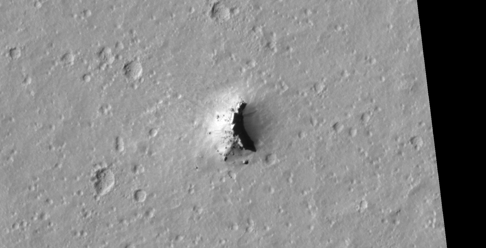
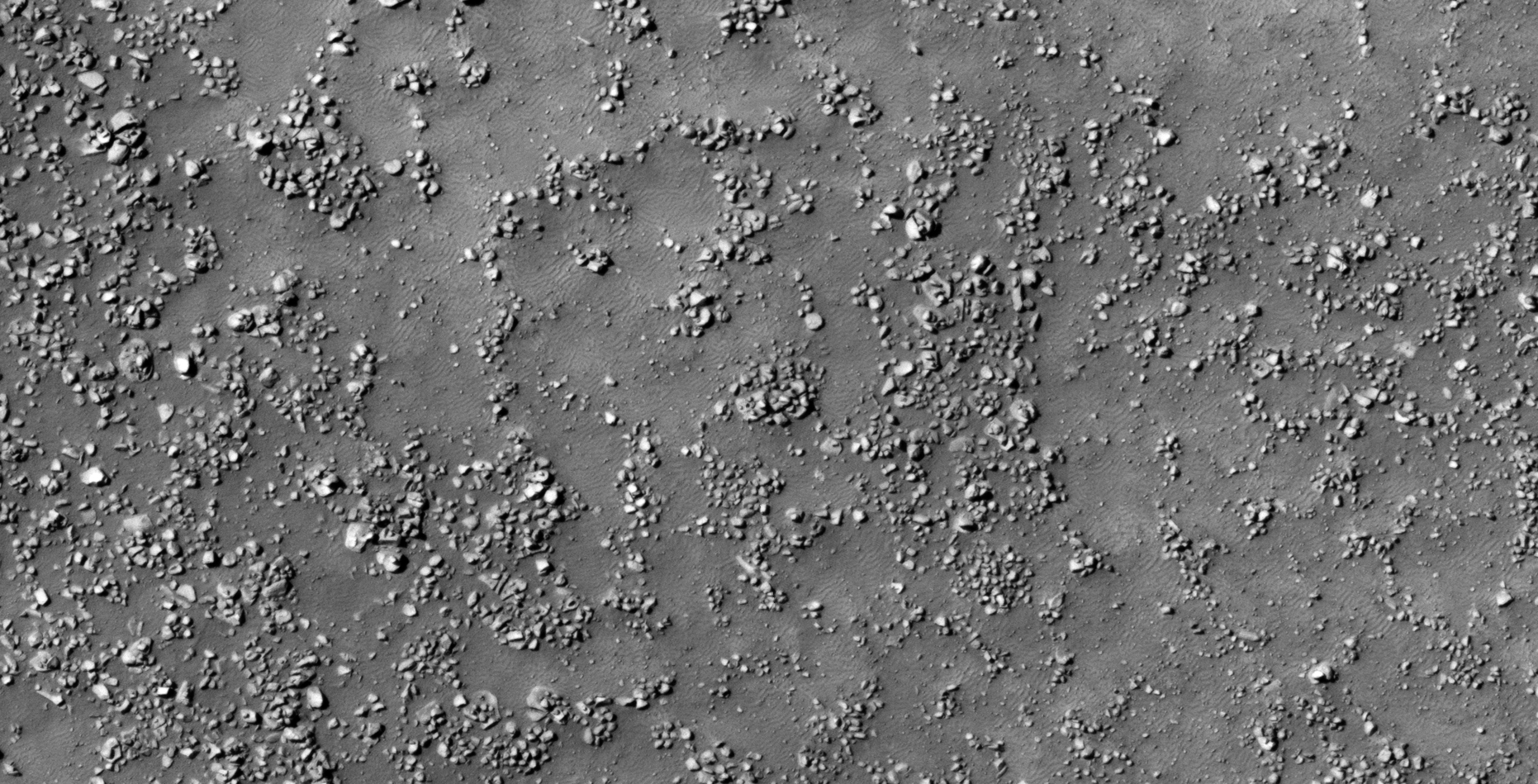
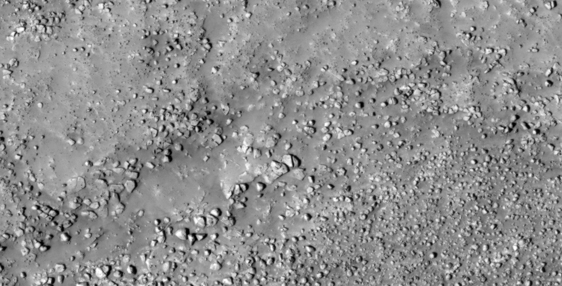
The photograph analyzed here (ESP_036562_1820) was taken by NASA’s Mars Reconnaissance Orbiter on 15 May 2014 and is described as ‘Enigmatic Terrain in Elysium Planitia.’
Here I present more megalithic blocks, ruins, structures, potentially another classic UFO-type craft (as found previously) and what appears to be various wreckage.
An elevated view of this site being analyzed (click for larger image)An elevated view of this site being analyzed (click for larger image)(click for larger image)(click for larger image)(click for larger image)(click for larger image)(click for larger image)(click for larger image)(click for larger image)(click for larger image)(click for larger image)(click for larger image)(click for larger image)(click for larger image)(click for larger image)(click for larger image)(click for larger image)(click for larger image)(click for larger image)(click for larger image)(click for larger image)(click for larger image)(click for larger image)(click for larger image)(click for larger image)(click for larger image)
Images saved from within HiView or CTX viewer do not include image scale indicators. The image scale indicators I include in images are based on the official resolutions provided by NASA and although I strive to be as accurate as possible there may be slight deviations from the actual scale. Image scale indicators are included as a size approximation tool only.
Geometry lines are mapped as accurately as possible using the limited information, data and mapping tools available at the time, therefore the lines may deviate from target sites by a few kilometres. Revisions may be made in the future as new, more precise information, data and mapping tools become available.
Many or all of the anomalies/artefacts covered in this presentation may be naturally occurring geological features caused by some type of geological processes, however due to the lack of specific information from the source we can only speculate whether these are all natural or some artificial in nature.
In cases where I say an anomaly looks like something I’m attempting to clarify what I see and not specifically that the anomaly is what I say it looks like.
My intention is only to share anomalies I’ve discovered on Mars and not to convince anyone that there is or was a civilization on Mars.
As Will Farrar from WhatsUpInTheSky says: “I see what I see, you see what you see.”
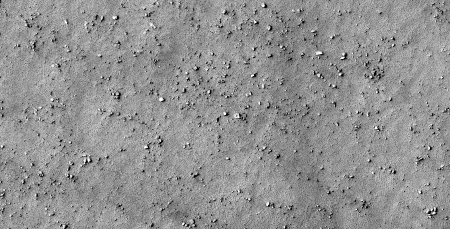
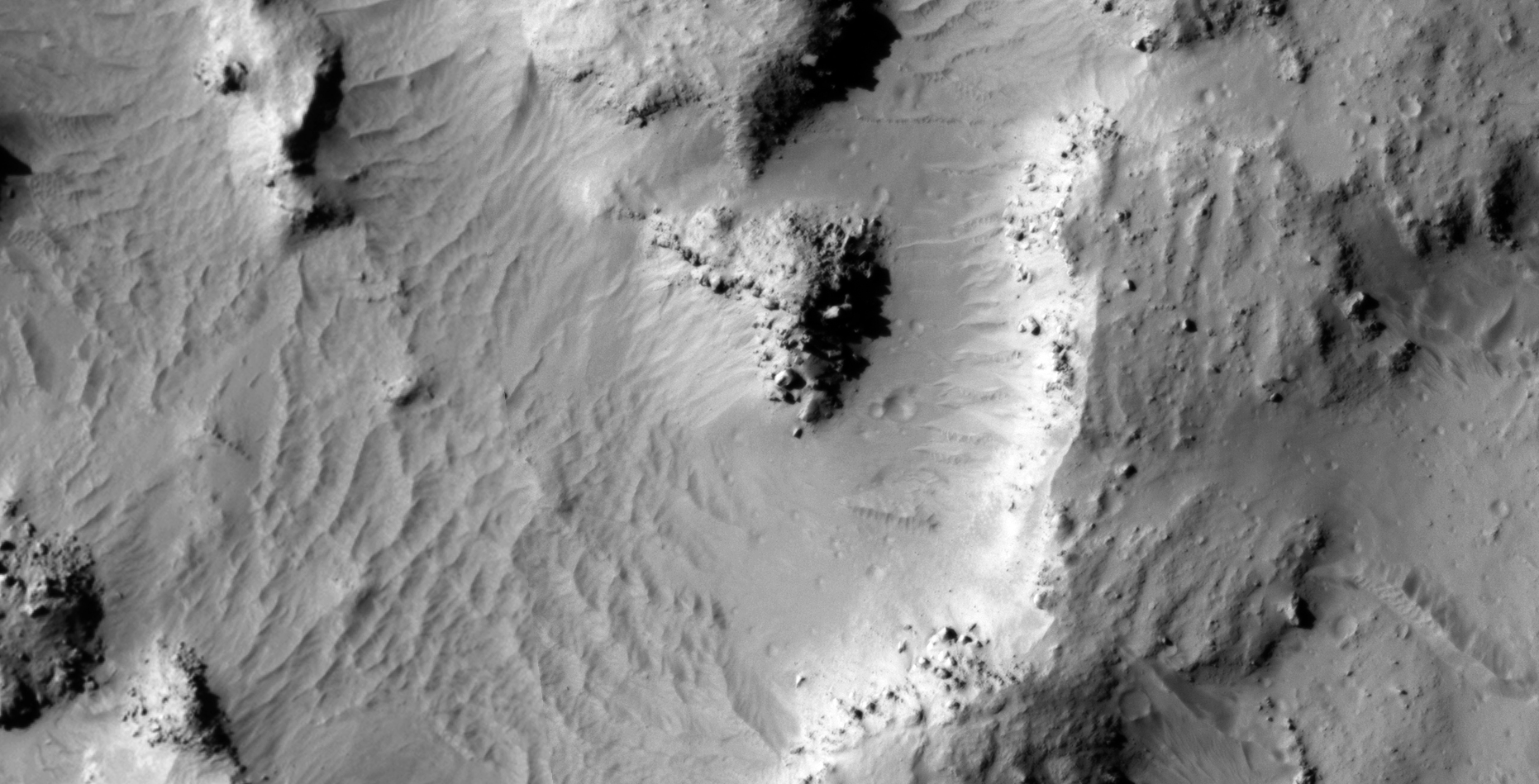
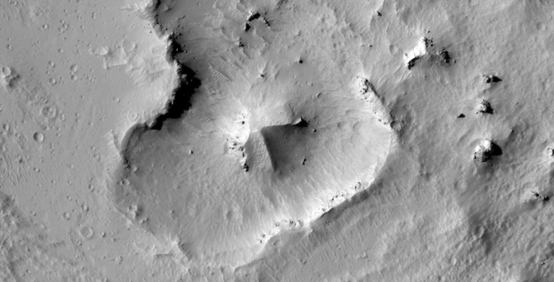
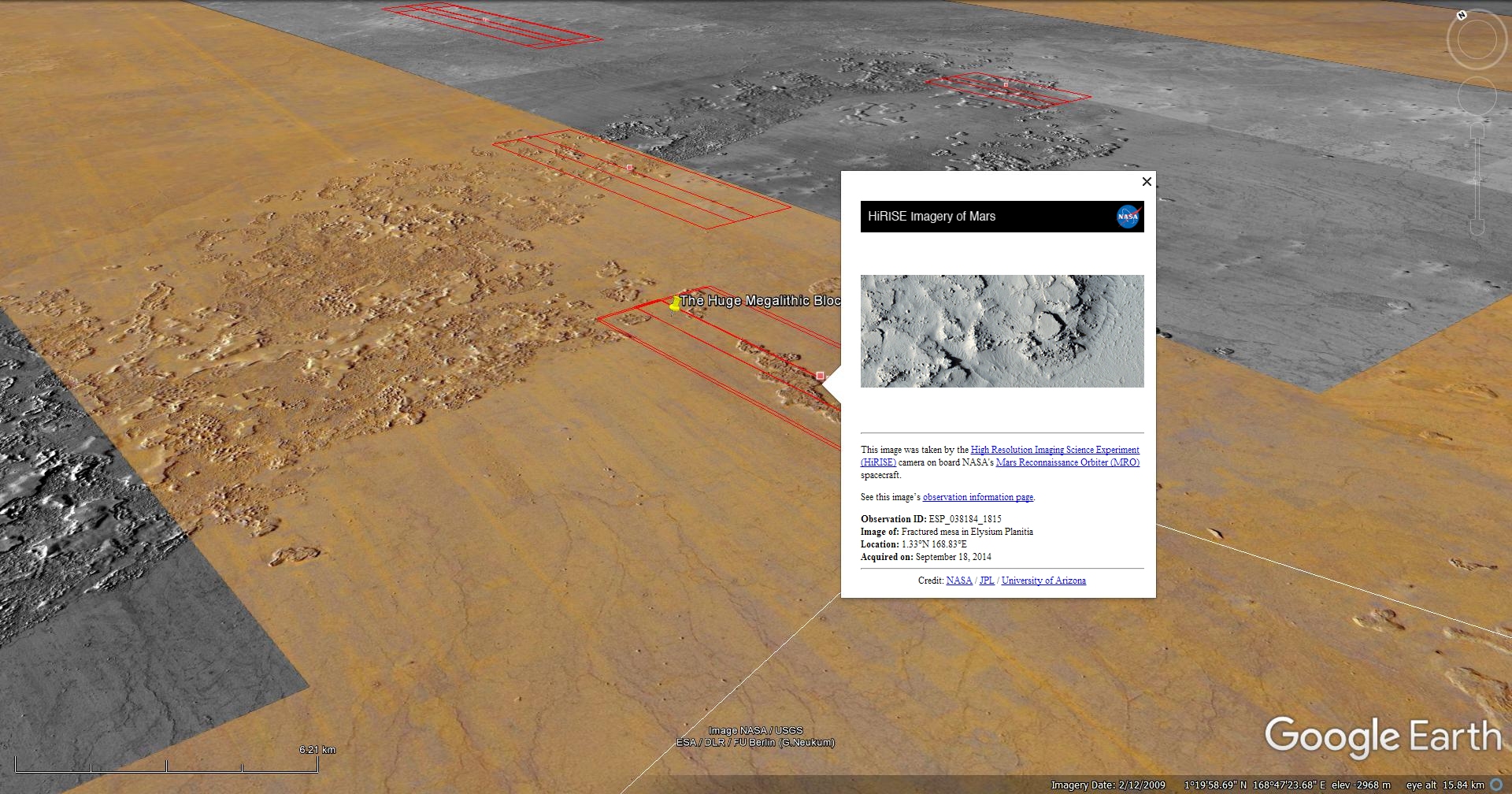
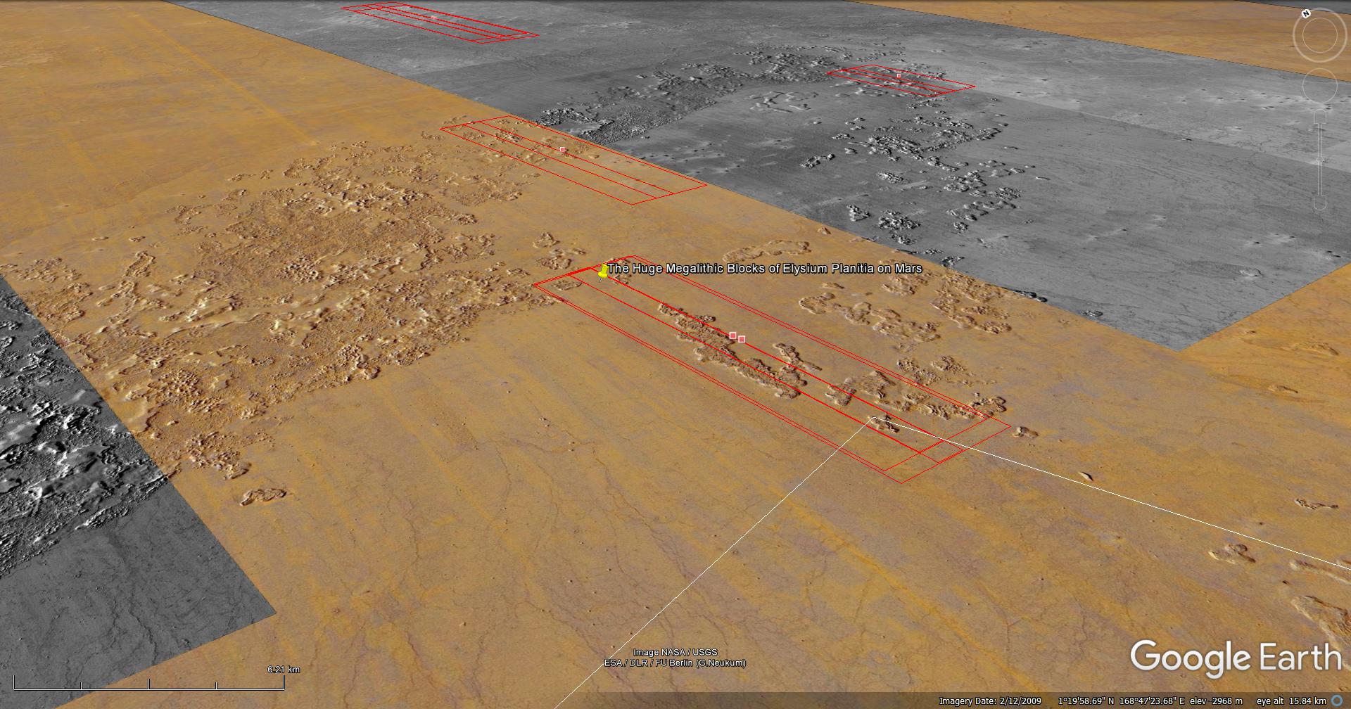
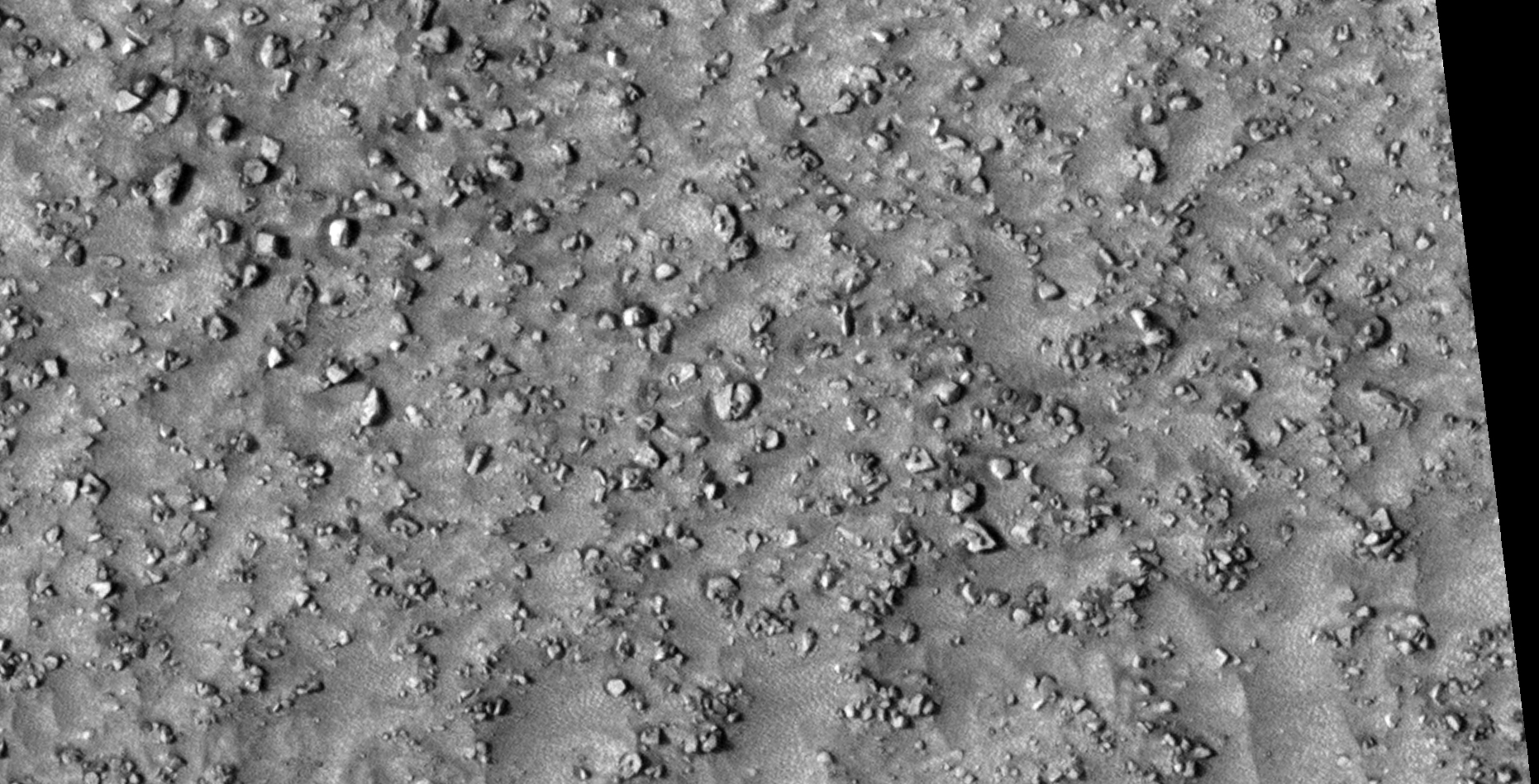
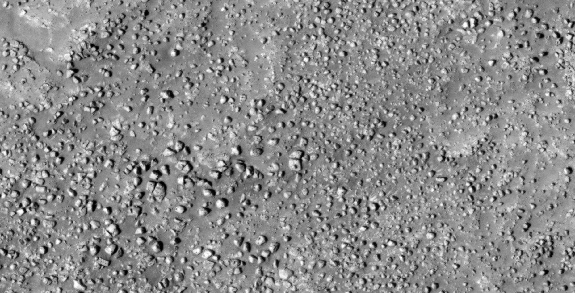
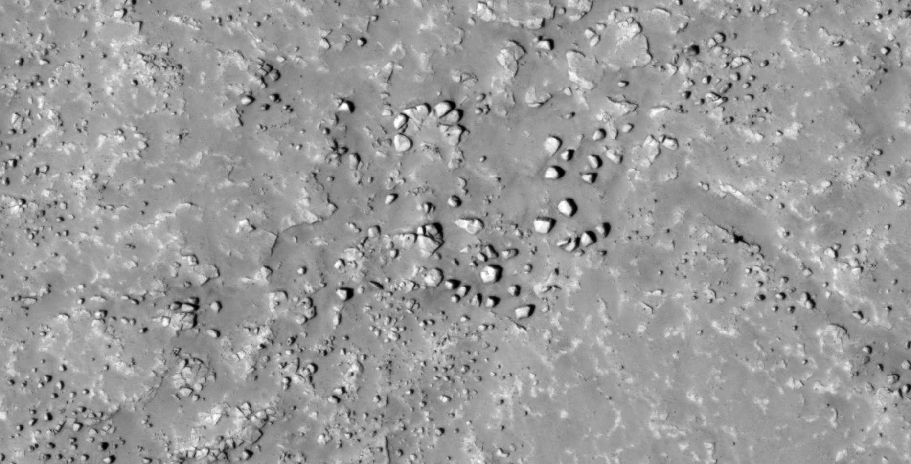
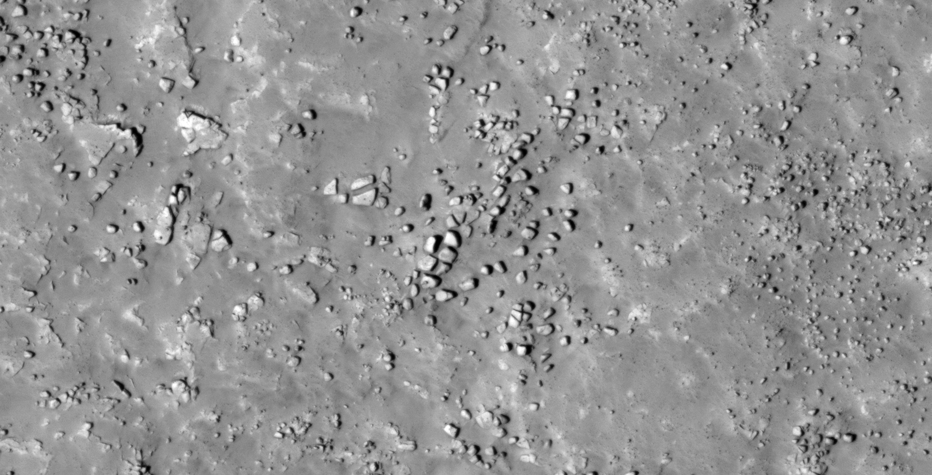
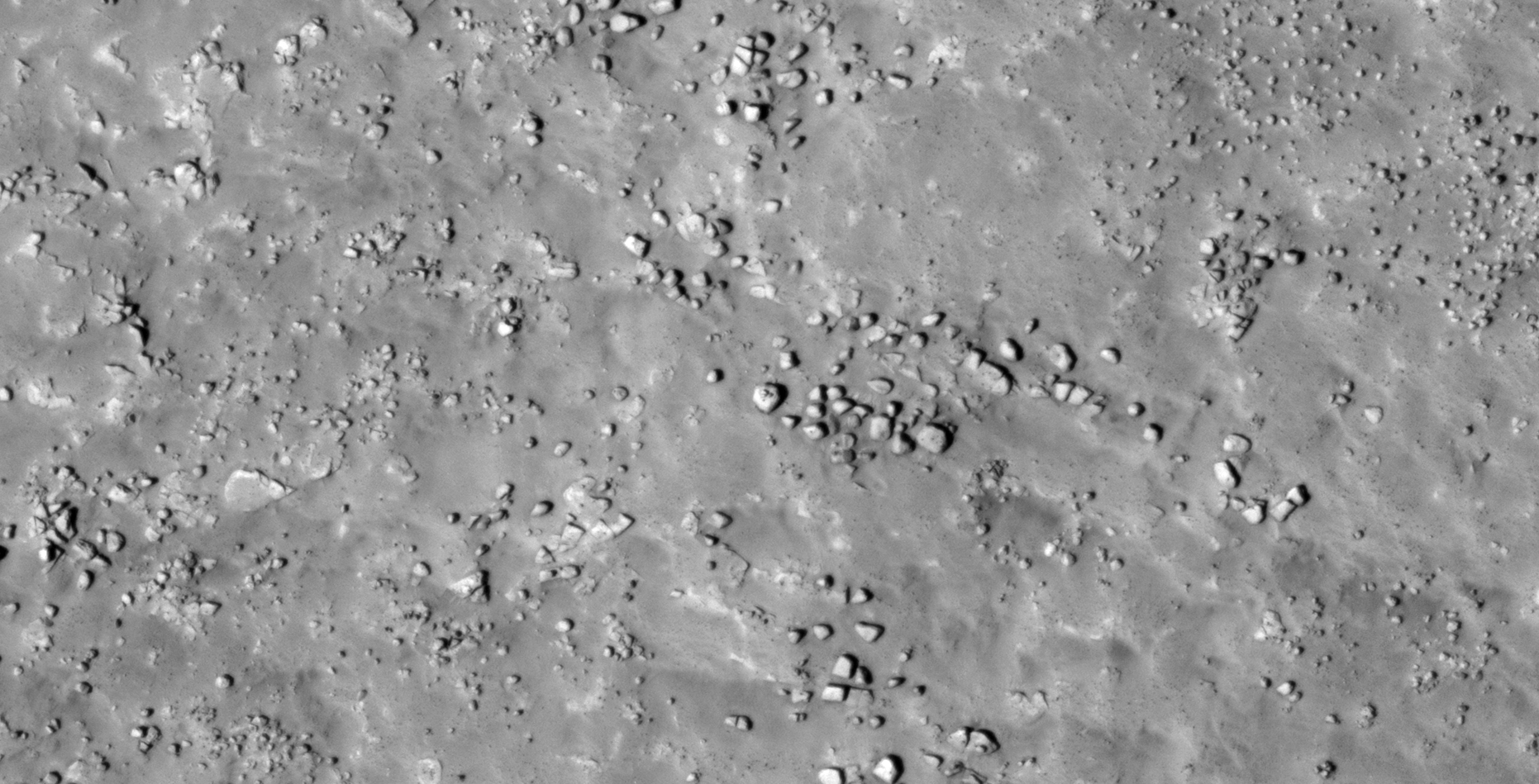
The photograph analyzed here (ESP_038184_1815) was taken by NASA’s Mars Reconnaissance Orbiter on 18 September 2014 and is described as ‘Fractured Mesa in Elysium Planitia.’
More megalithic blocks, ruins, walls, structures and what may be outposts or hangars.
The artefacts shown here are some of the best I’ve discovered, the photograph is also clean and crisp.
An elevated view of this site being analyzed (click for larger image)An elevated view of this site being analyzed (click for larger image)(click for larger image)(click for larger image)(click for larger image)(click for larger image)(click for larger image)(click for larger image)(click for larger image)(click for larger image)(click for larger image)(click for larger image)(click for larger image)(click for larger image)(click for larger image)(click for larger image)(click for larger image)(click for larger image)(click for larger image)(click for larger image)(click for larger image)(click for larger image)(click for larger image)(click for larger image)
Images saved from within HiView or CTX viewer do not include image scale indicators. The image scale indicators I include in images are based on the official resolutions provided by NASA and although I strive to be as accurate as possible there may be slight deviations from the actual scale. Image scale indicators are included as a size approximation tool only.
Geometry lines are mapped as accurately as possible using the limited information, data and mapping tools available at the time, therefore the lines may deviate from target sites by a few kilometres. Revisions may be made in the future as new, more precise information, data and mapping tools become available.
Many or all of the anomalies/artefacts covered in this presentation may be naturally occurring geological features caused by some type of geological processes, however due to the lack of specific information from the source we can only speculate whether these are all natural or some artificial in nature.
In cases where I say an anomaly looks like something I’m attempting to clarify what I see and not specifically that the anomaly is what I say it looks like.
My intention is only to share anomalies I’ve discovered on Mars and not to convince anyone that there is or was a civilization on Mars.
As Will Farrar from WhatsUpInTheSky says: “I see what I see, you see what you see.”
This Special Edition focuses on what I speculate are similar or matching craft and technology found in various location on the Martian surface.
There are three proposed categories into which I place these:
Outpost-type structures
Mining-type machines
UFO-type craft with typical disc and large domes
UFO-type craft with typical disc and small domes
Delta-wing-type craft
Underground entrance-way’s, hatch’s or air-vent’s
The mining-type machines may however be some type of unidentified air-craft or some other type of machinery or technology, he purpose of which is unknown.
Likewise, the outpost-type structures might be some type of machinery or technology, maybe even dwellings, underground entrance-ways or air-vents.
The anomalies in the last two categories might even be the same type of technology, just in differing states of disrepair.
Until a closer investigation by NASA into these anomalies is made I can only speculate about what they might or might not be. None-the-less, there are geometric shape and size similarities between these anomalies that cannot be ignored.
Following are examples of similar or matching craft and objects I found unless indicated otherwise:
Outpost-type structures:
Outpost-type Structure: I (ESP_013864_1220) (click for larger image)
This type of craft is found in almost all the megalithic blocks and ruins I cover in previous Blog Posts and YouTube video’s, thus I only showing one prime example of such a craft below:
UFO-type Craft with small dome: I (xx) (click for larger image)
Underground entrance-way’s, hatch’s or air-vent’s:
This type of anomaly is found in almost all the megalithic blocks and ruins I cover in previous Blog Posts and YouTube video’s, thus I only showing one prime example of such an anomaly below:
Underground entrance-way, hatch or air-tent: I (ESP_013864_1220) (click for larger image)
Images saved from within HiView or CTX viewer do not include image scale indicators. The image scale indicators I include in images are based on the official resolutions provided by NASA and although I strive to be as accurate as possible there may be slight deviations from the actual scale. Image scale indicators are included as a size approximation tool only.
Geometry lines are mapped as accurately as possible using the limited information, data and mapping tools available at the time, therefore the lines may deviate from target sites by a few kilometres. Revisions may be made in the future as new, more precise information, data and mapping tools become available.
Many or all of the anomalies/artefacts covered in this presentation may be naturally occurring geological features caused by some type of geological processes, however due to the lack of specific information from the source we can only speculate whether these are all natural or some artificial in nature.
In cases where I say an anomaly looks like something I’m attempting to clarify what I see and not specifically that the anomaly is what I say it looks like.
My intention is only to share anomalies I’ve discovered on Mars and not to convince anyone that there is or was a civilization on Mars.
As Will Farrar from WhatsUpInTheSky says: “I see what I see, you see what you see.”
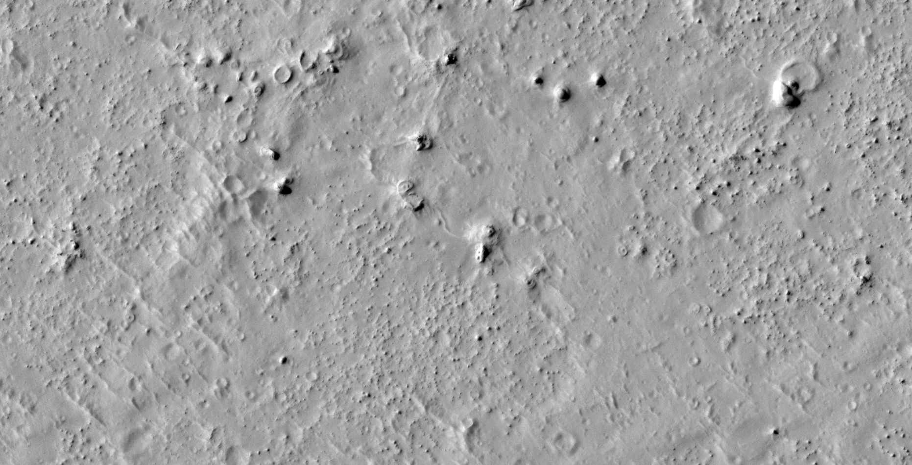
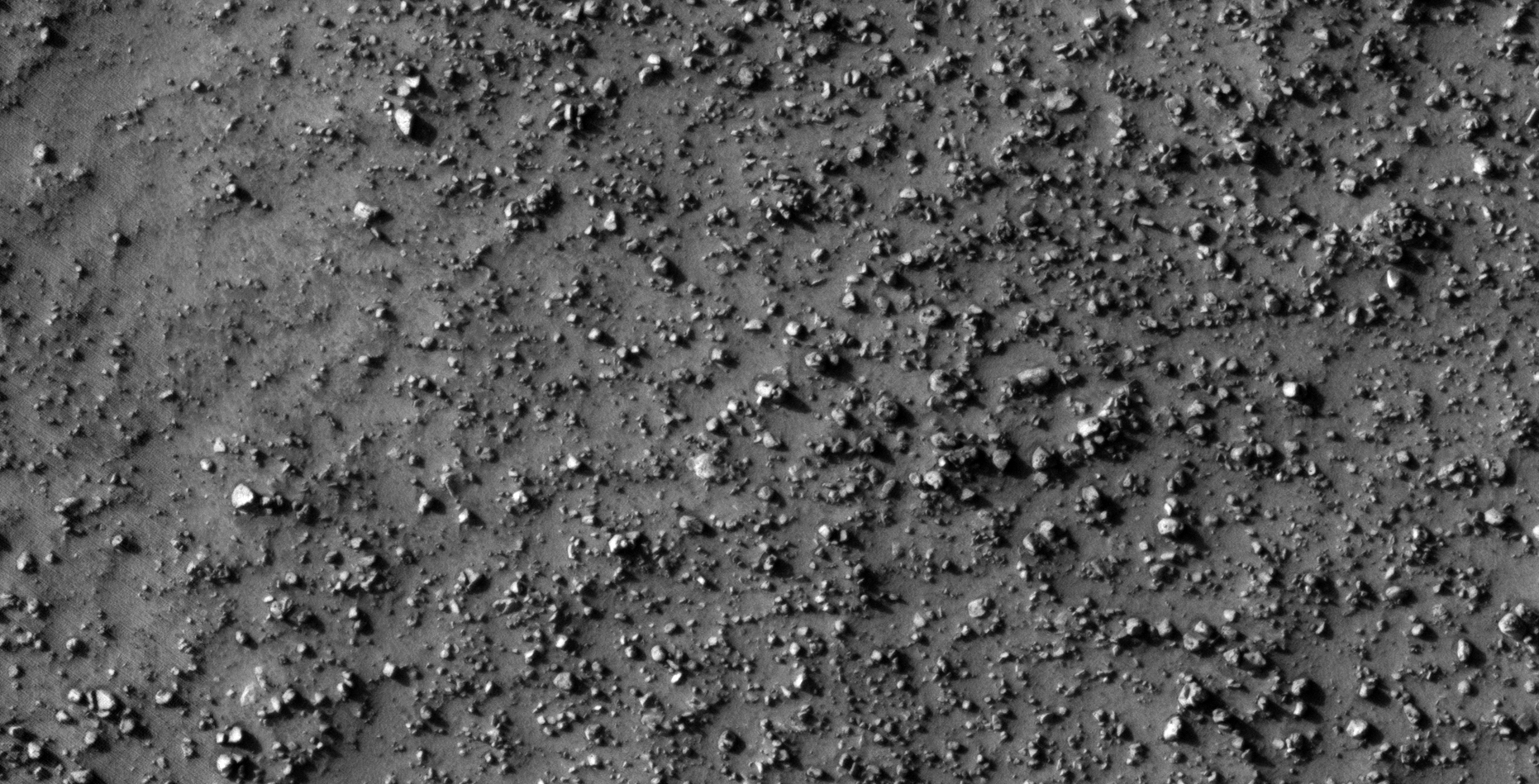
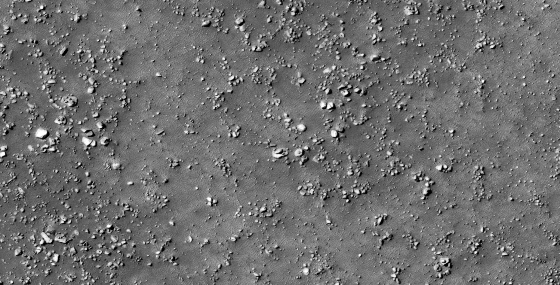
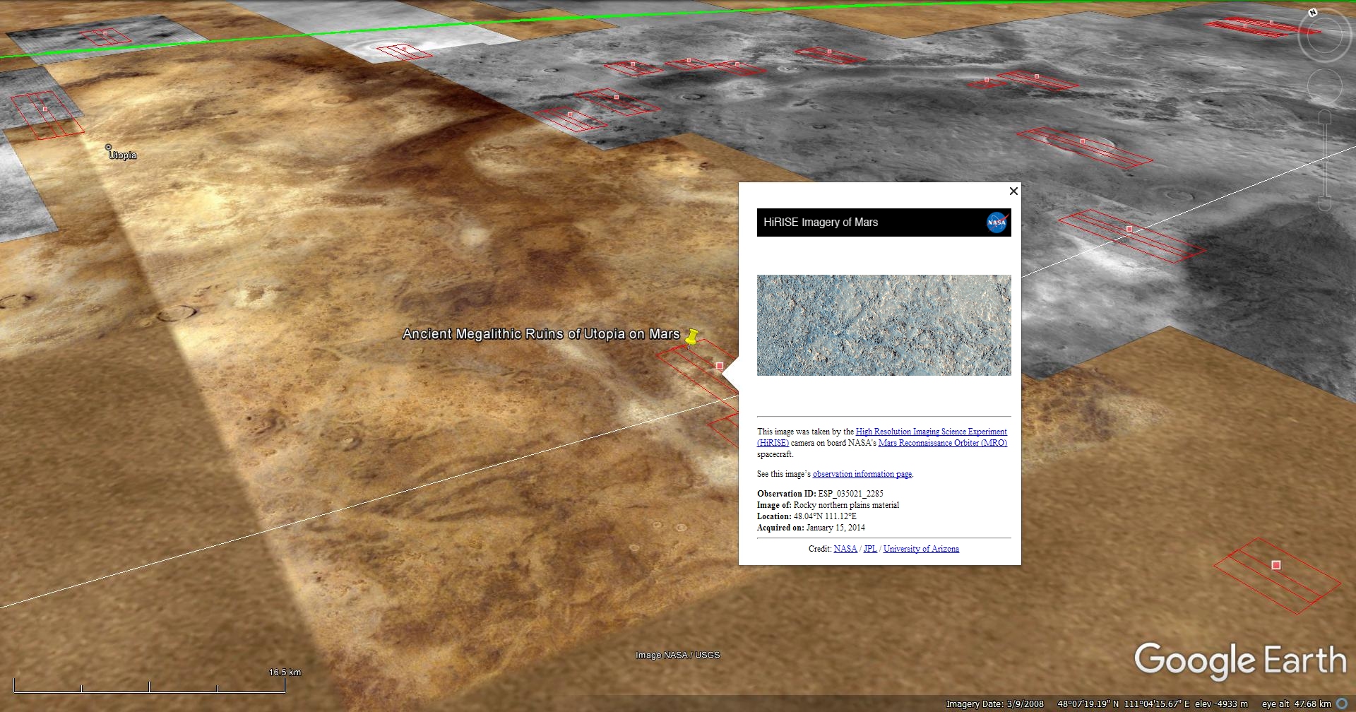
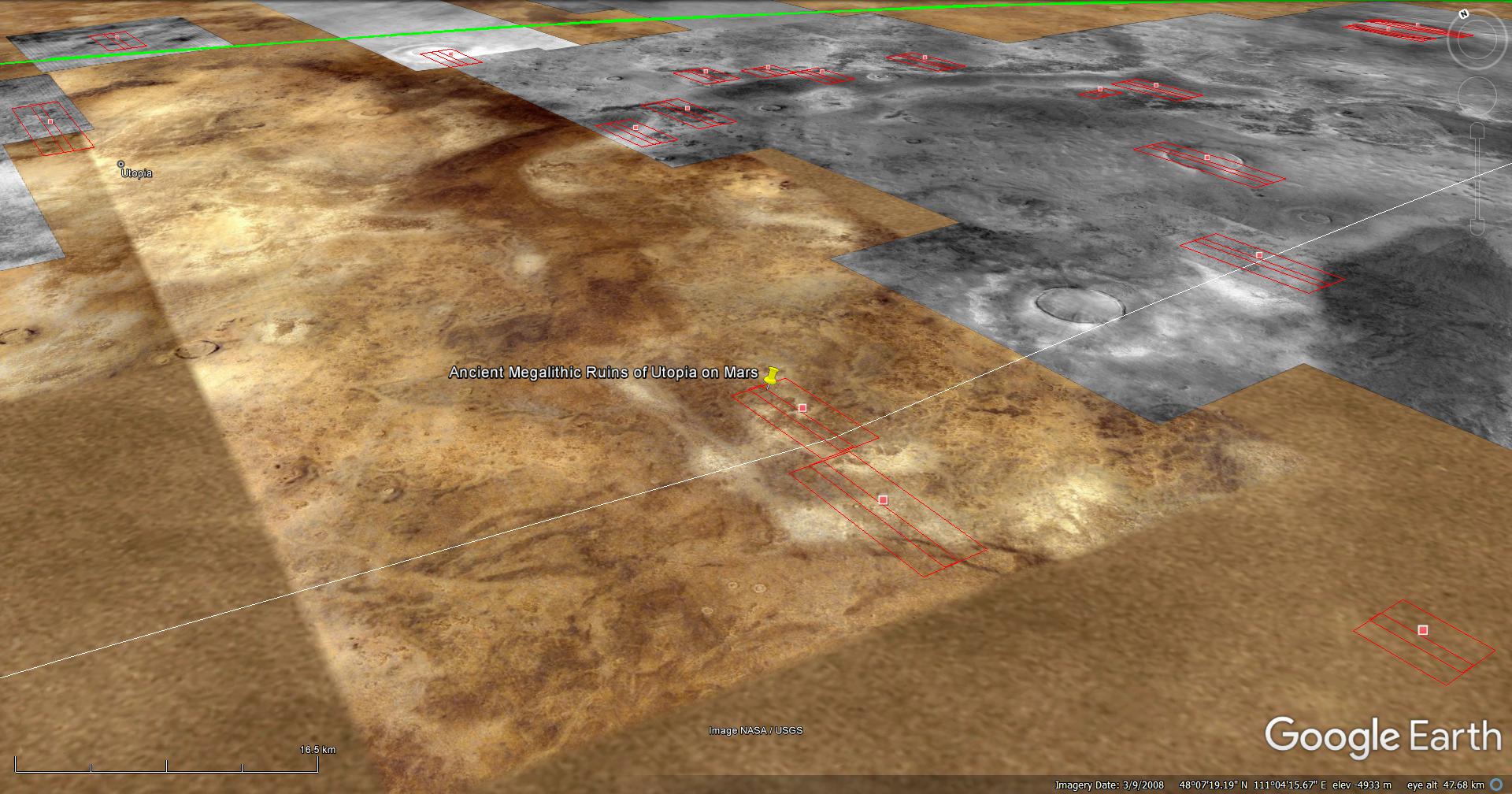
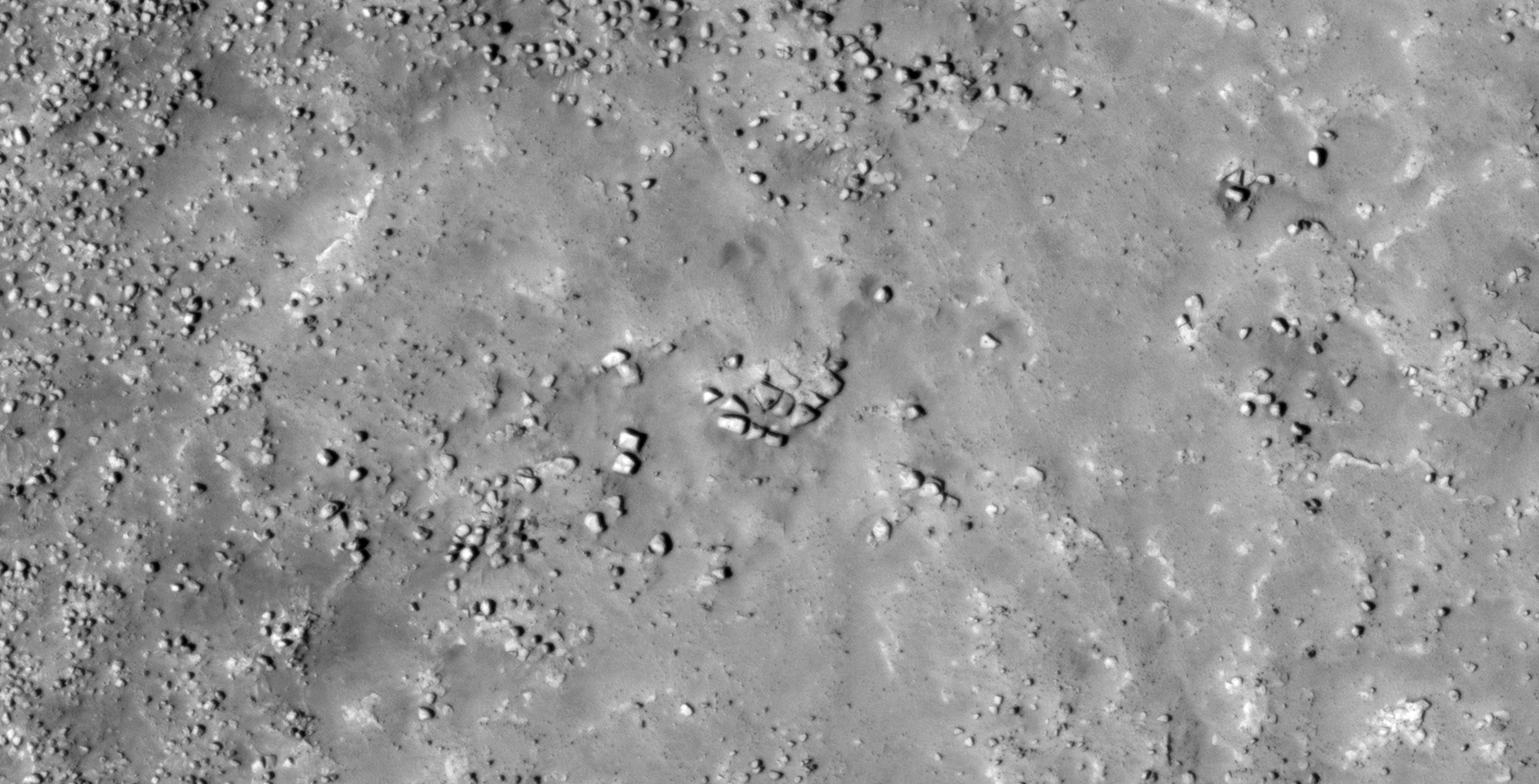
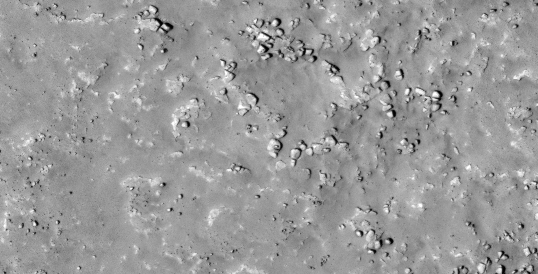
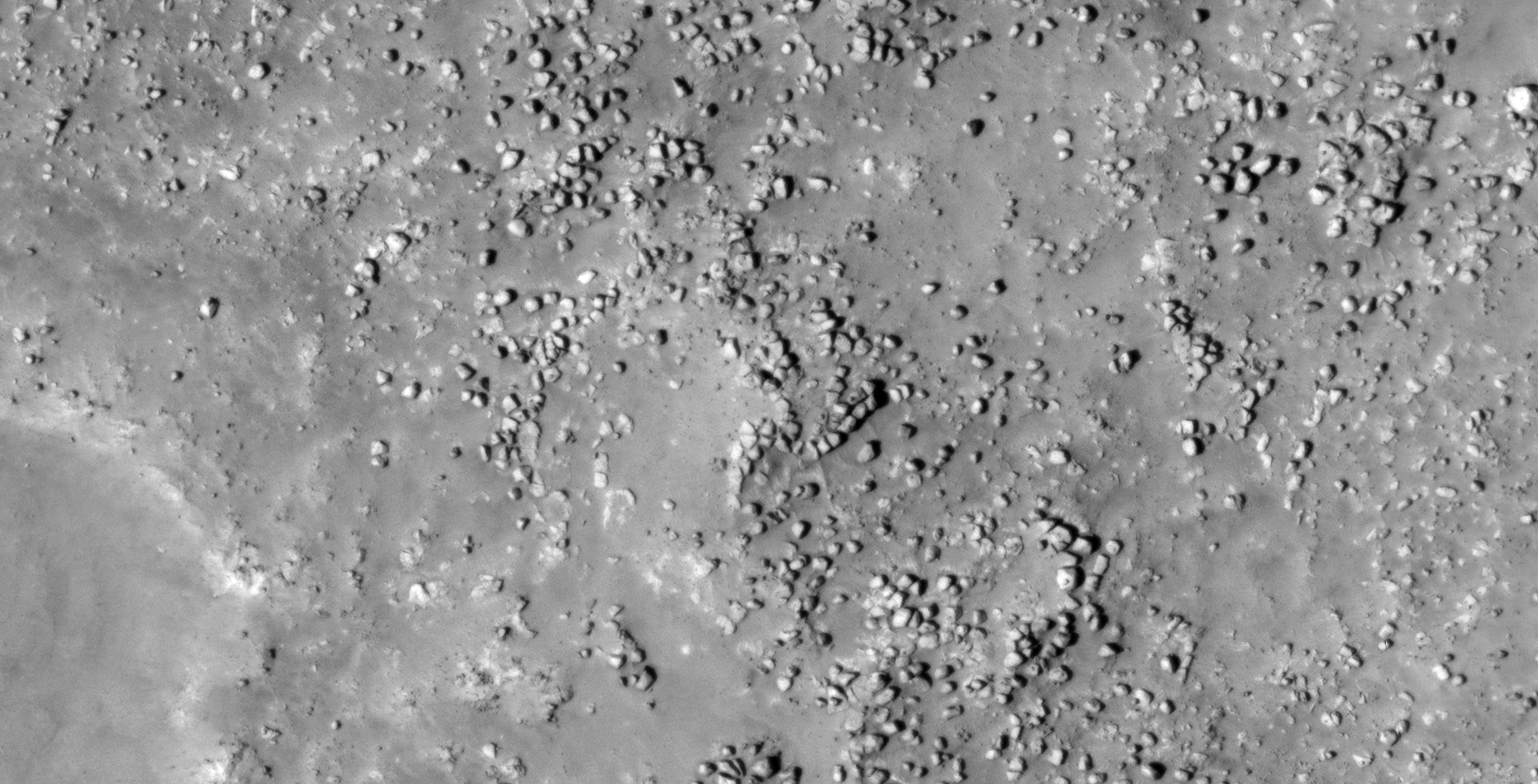
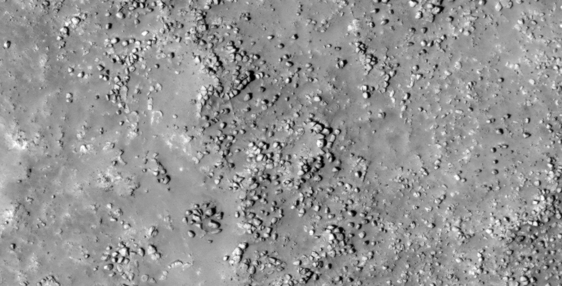
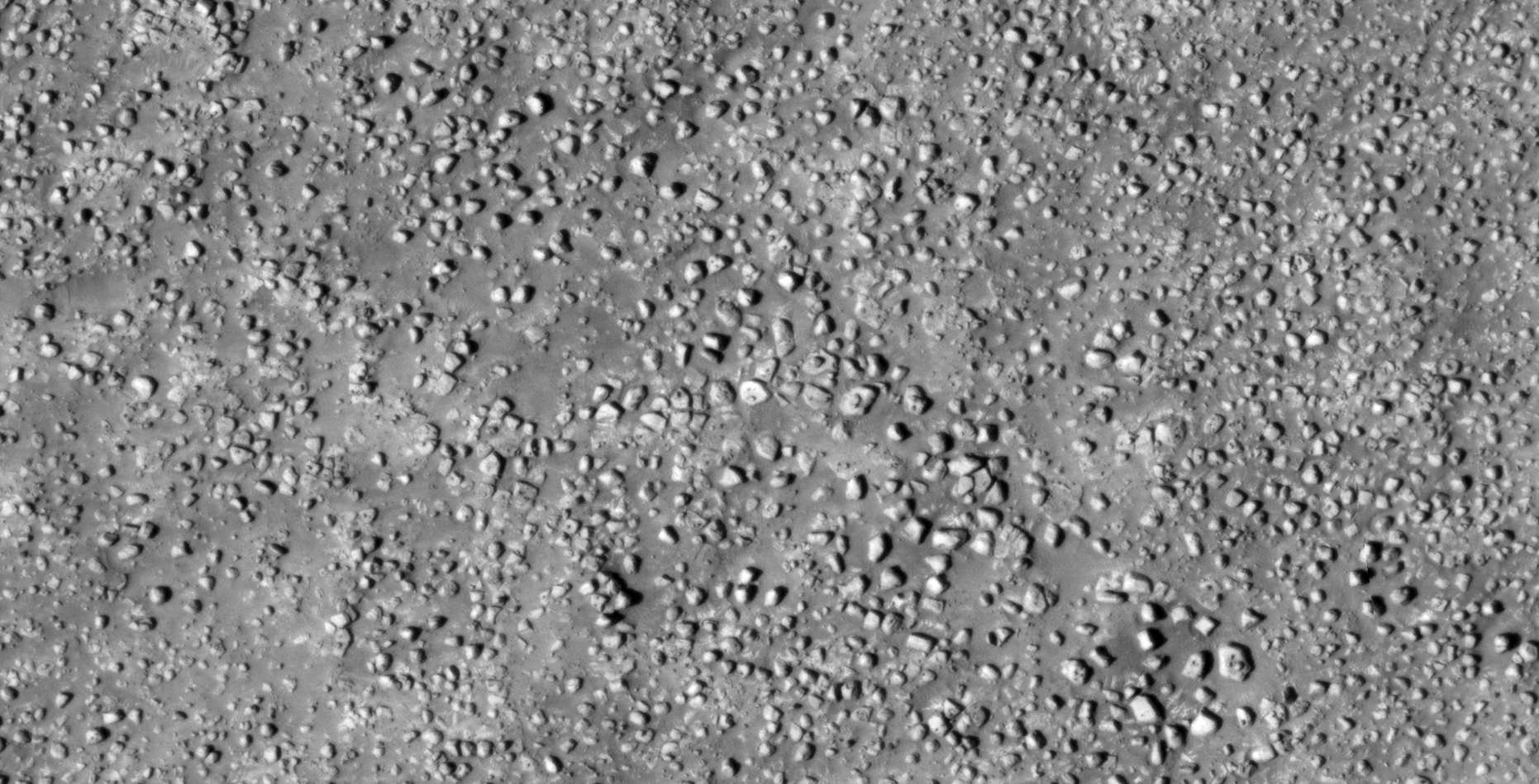
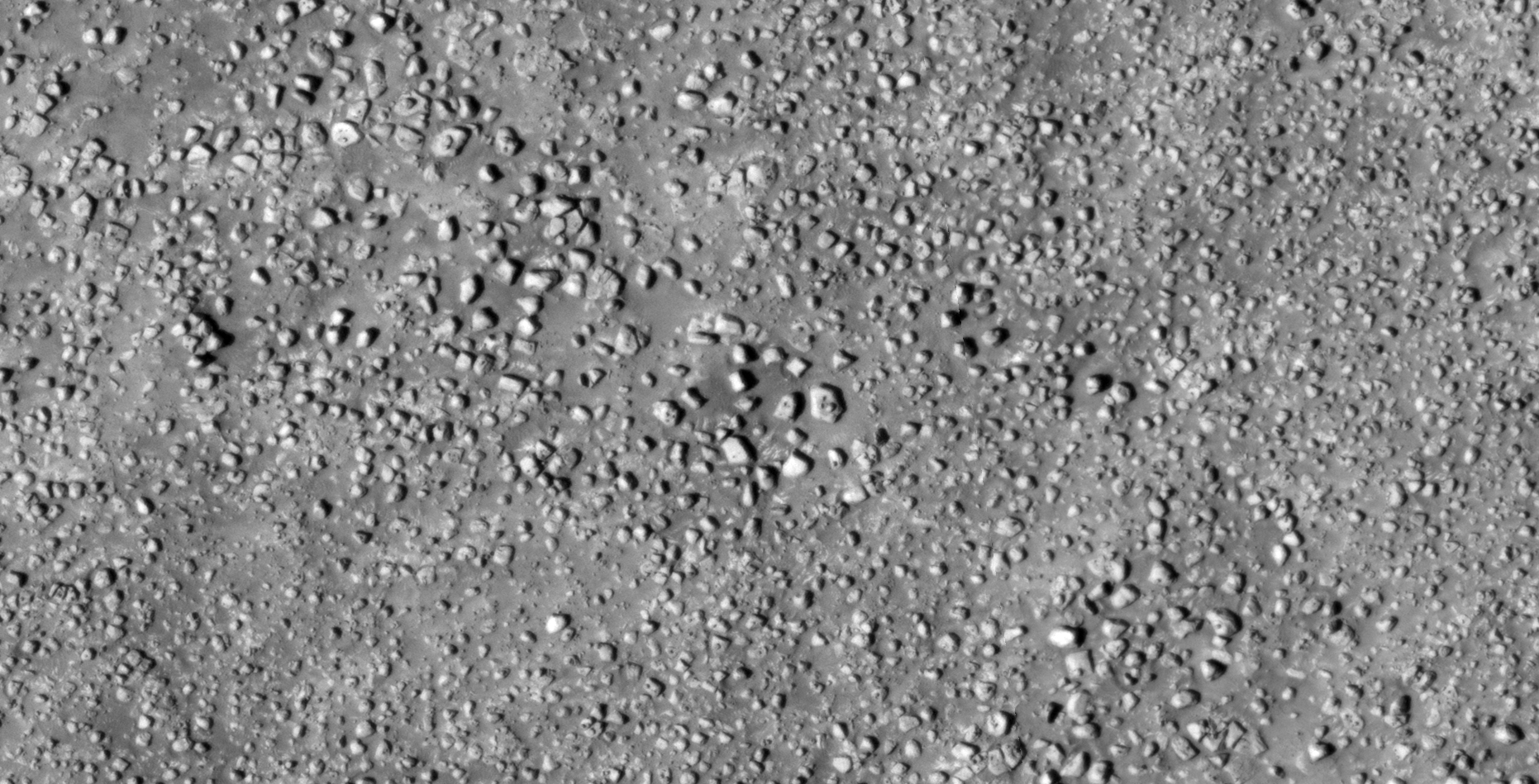
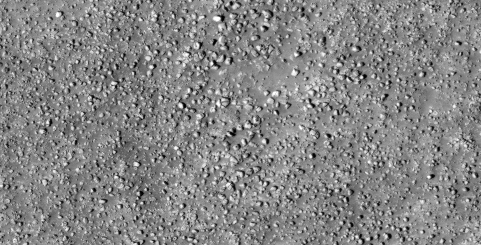
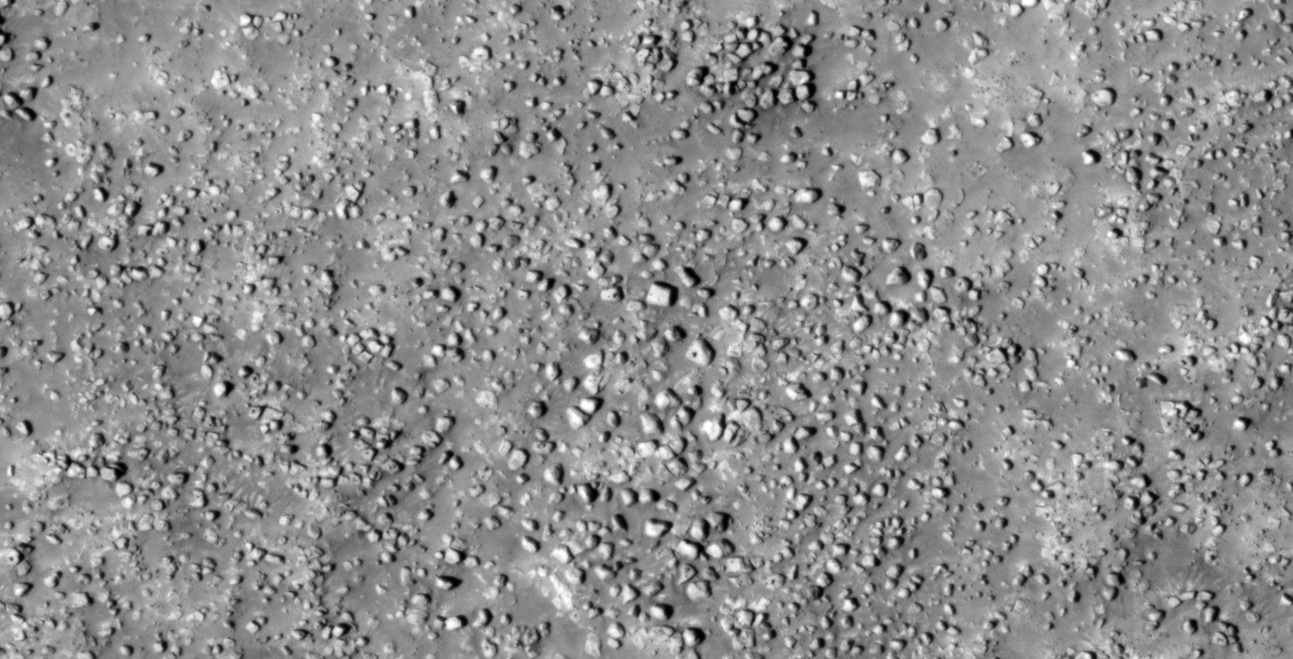
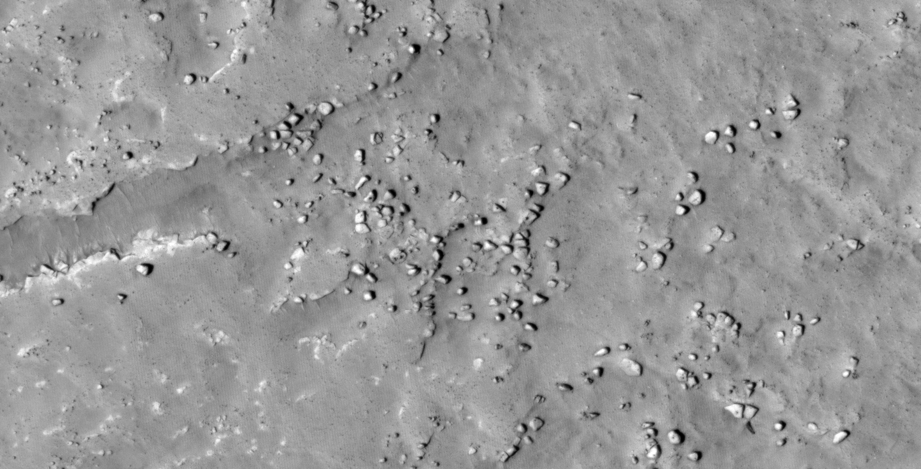
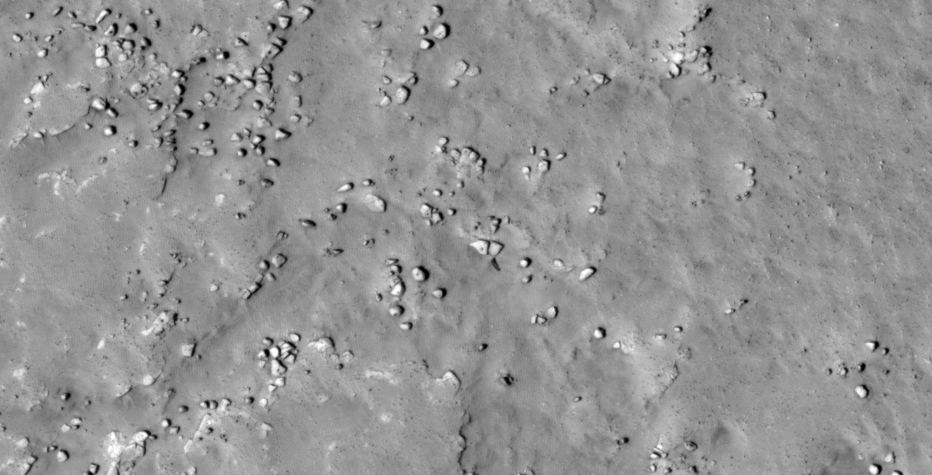
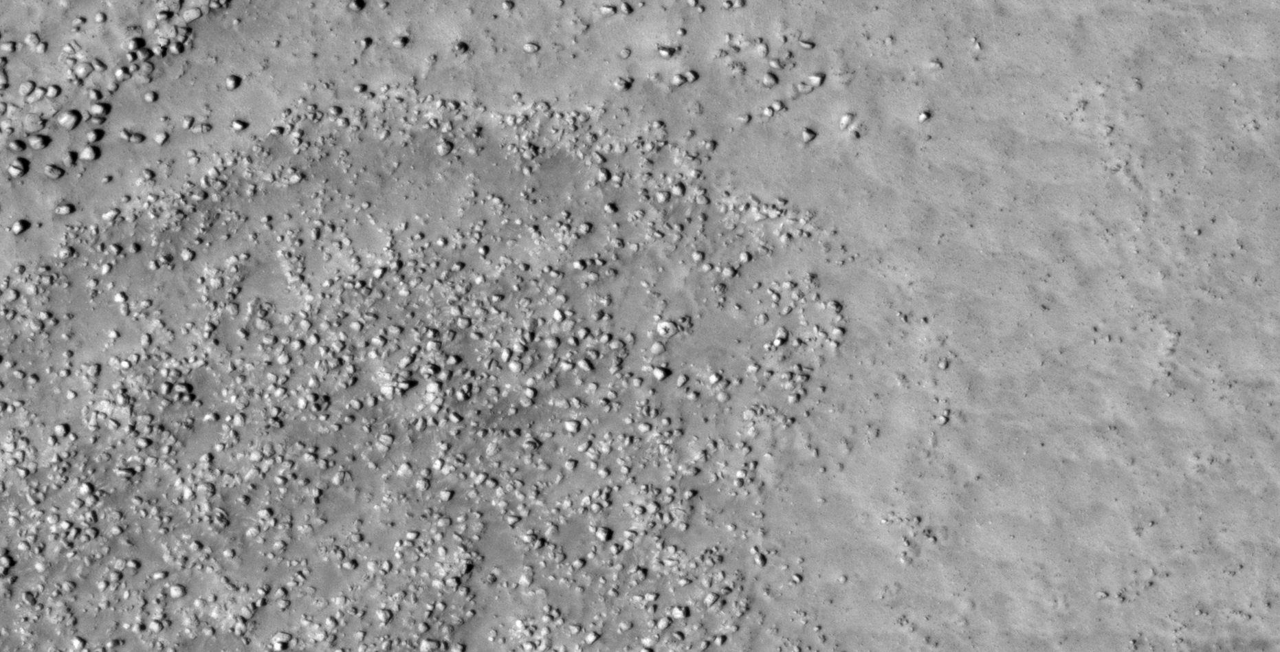
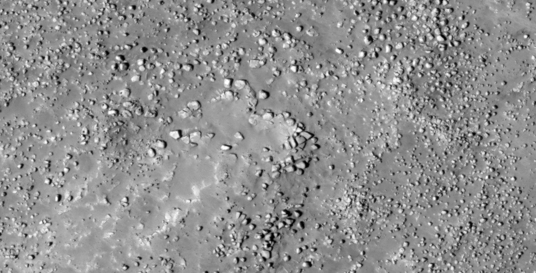
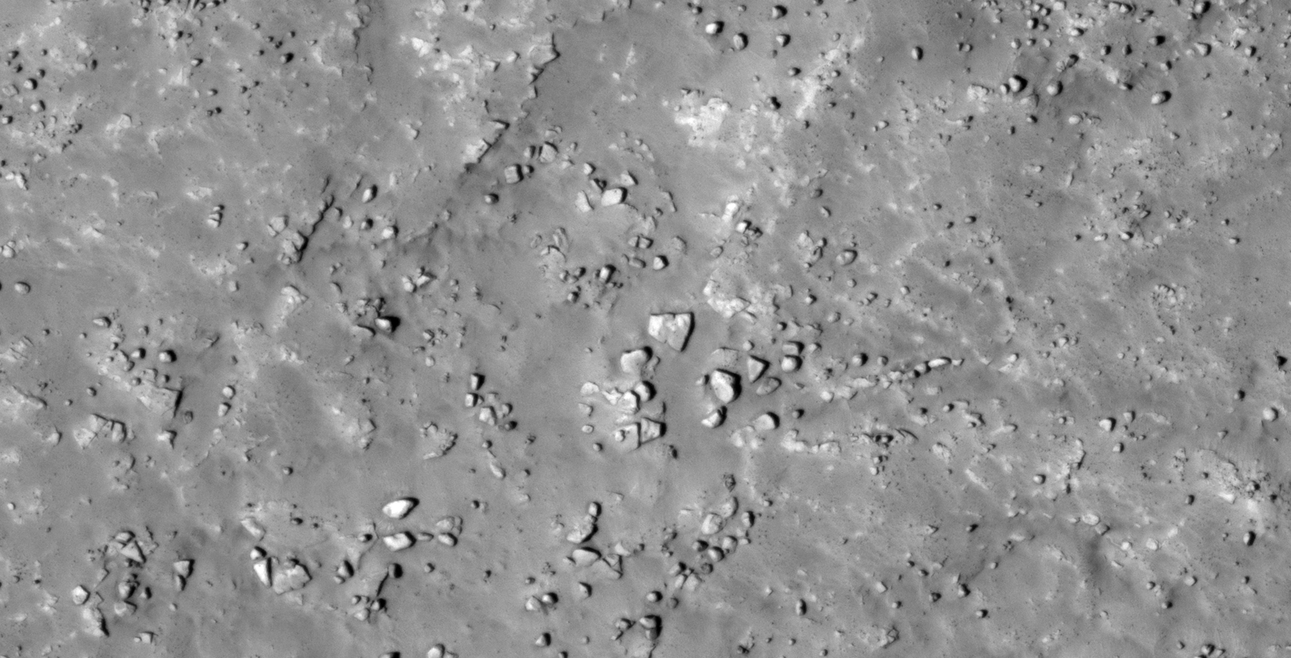
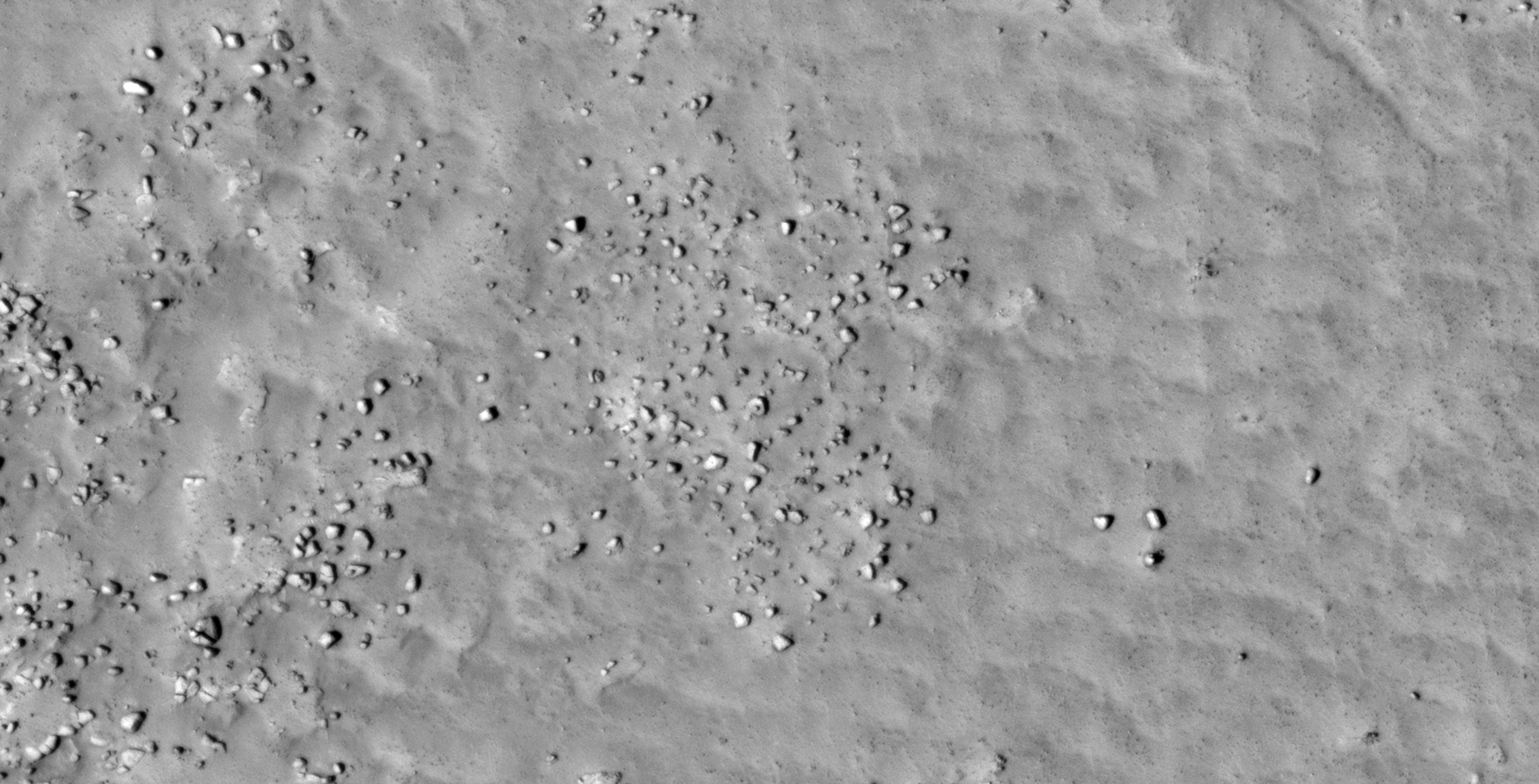
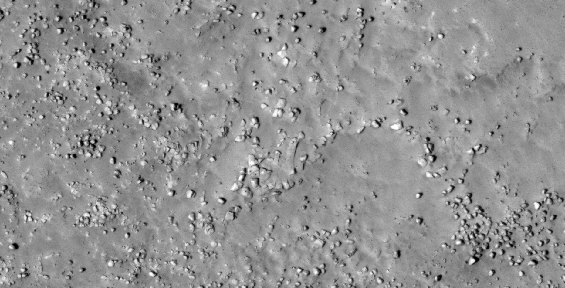
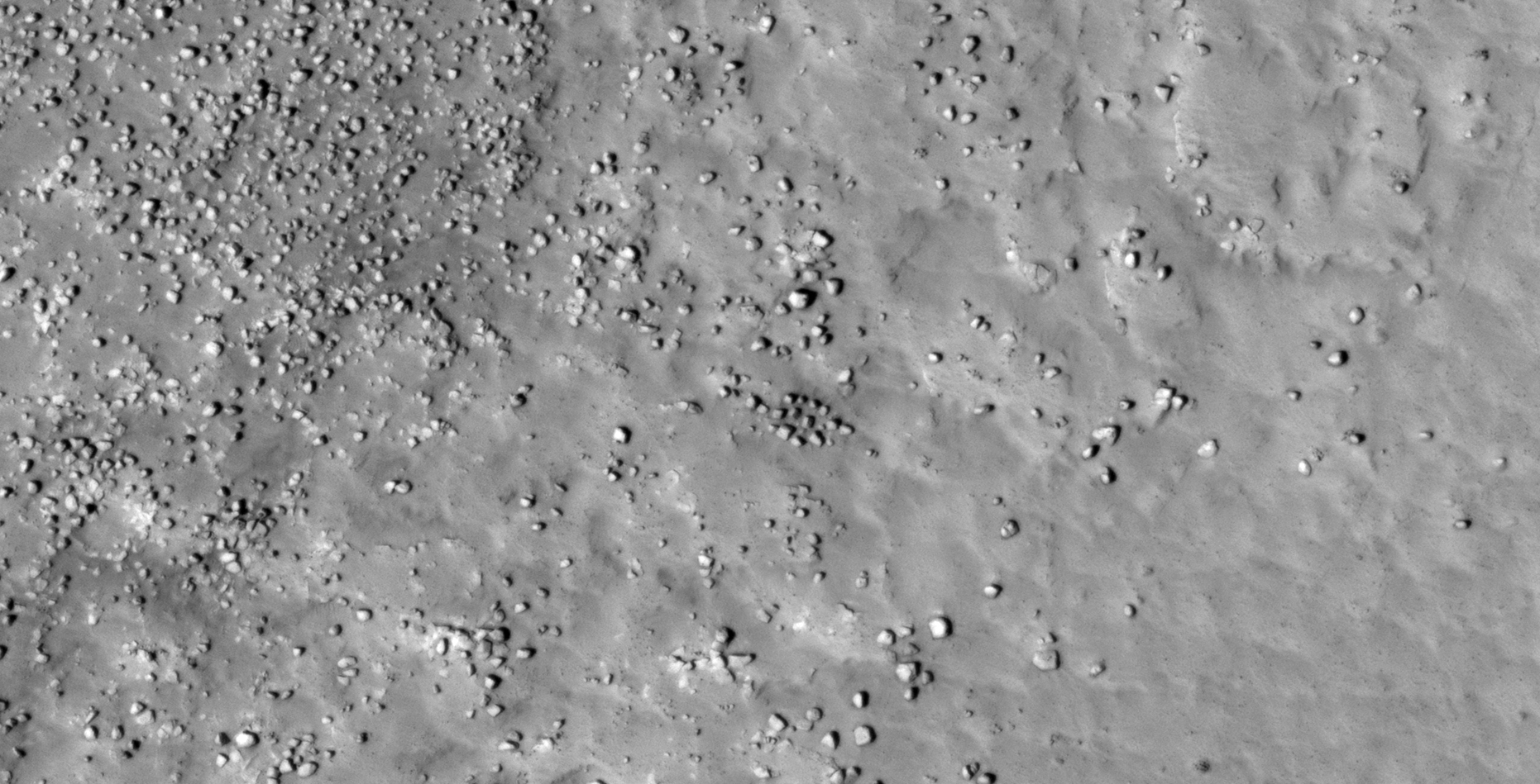
The photograph analyzed here (ESP_035021_2285) was taken by NASA’s Mars Reconnaissance Orbiter on 15 January 2014 and is described as ‘Rocky Northern Plains Material.’
Here I speculate that I may have discovered further evidence of destroyed ancient megalithic ruins.
Many of the megaliths have small features or knobs.
There might even be what appear to be covered underground entrance ways.
An elevated view of this site being analyzed (click for larger image)An elevated view of this site being analyzed (click for larger image)(click for larger image)(click for larger image)(click for larger image)(click for larger image)(click for larger image)(click for larger image)(click for larger image)(click for larger image)(click for larger image)(click for larger image)(click for larger image)(click for larger image)(click for larger image)(click for larger image)(click for larger image)(click for larger image)(click for larger image)(click for larger image)(click for larger image)(click for larger image)(click for larger image)(click for larger image)(click for larger image)(click for larger image)(click for larger image)(click for larger image)(click for larger image)(click for larger image)(click for larger image)(click for larger image)(click for larger image)(click for larger image)(click for larger image)(click for larger image)(click for larger image)(click for larger image)(click for larger image)(click for larger image)(click for larger image)(click for larger image)(click for larger image)(click for larger image)
Images saved from within HiView or CTX viewer do not include image scale indicators. The image scale indicators I include in images are based on the official resolutions provided by NASA and although I strive to be as accurate as possible there may be slight deviations from the actual scale. Image scale indicators are included as a size approximation tool only.
Geometry lines are mapped as accurately as possible using the limited information, data and mapping tools available at the time, therefore the lines may deviate from target sites by a few kilometres. Revisions may be made in the future as new, more precise information, data and mapping tools become available.
Many or all of the anomalies/artefacts covered in this presentation may be naturally occurring geological features caused by some type of geological processes, however due to the lack of specific information from the source we can only speculate whether these are all natural or some artificial in nature.
In cases where I say an anomaly looks like something I’m attempting to clarify what I see and not specifically that the anomaly is what I say it looks like.
My intention is only to share anomalies I’ve discovered on Mars and not to convince anyone that there is or was a civilization on Mars.
As Will Farrar from WhatsUpInTheSky says: “I see what I see, you see what you see.”
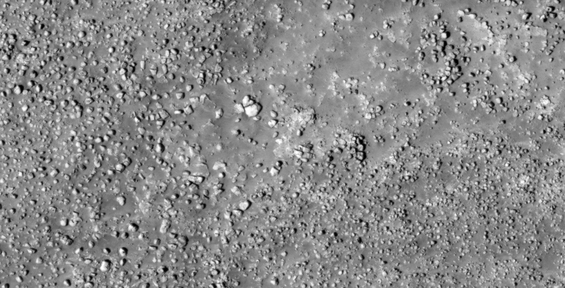
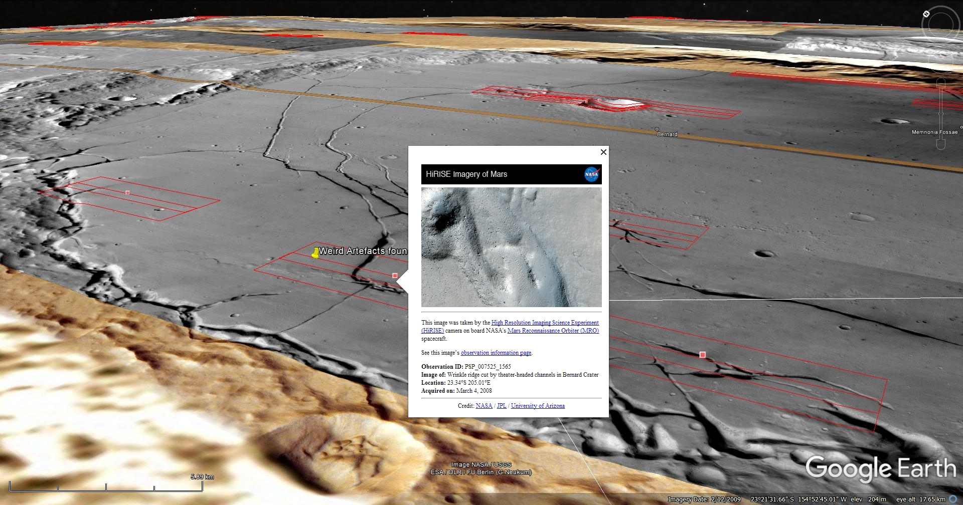
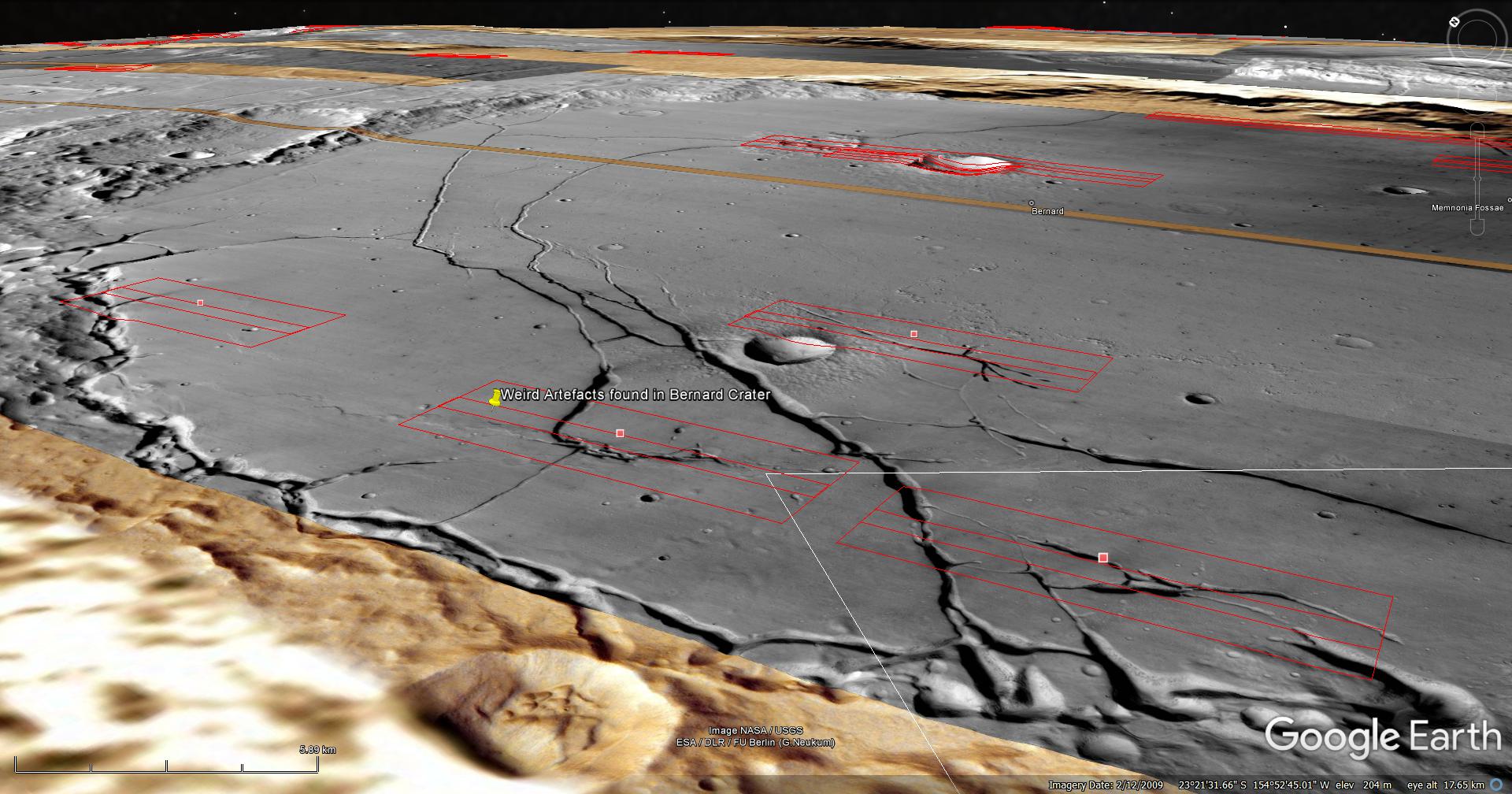
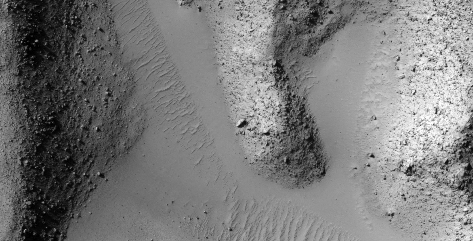
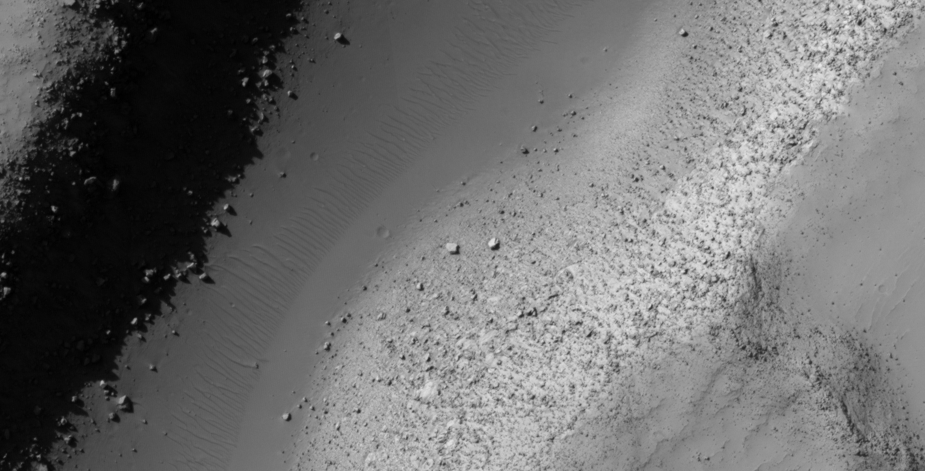
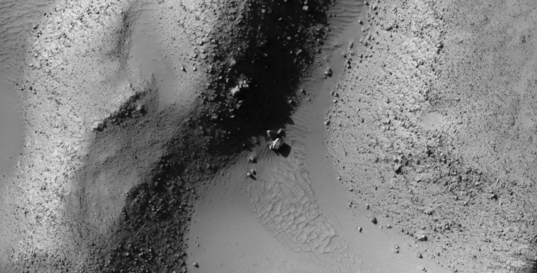
The photograph analyzed here (PSP_007525_1565) was taken by NASA’s Mars Reconnaissance Orbiter on 04 March 2008 and is described as ‘Wrinkle Ridge Cut by Theater-Headed Channels in Memnonia Fossae.’
Here I speculate I found artefacts which include everything from strange megalithic blocks to what looks like wreckage.
An elevated view of this site being analyzed (click for larger image)An elevated view of this site being analyzed (click for larger image)(click for larger image)(click for larger image)(click for larger image)(click for larger image)(click for larger image)(click for larger image)(click for larger image)(click for larger image)
Images saved from within HiView or CTX viewer do not include image scale indicators. The image scale indicators I include in images are based on the official resolutions provided by NASA and although I strive to be as accurate as possible there may be slight deviations from the actual scale. Image scale indicators are included as a size approximation tool only.
Geometry lines are mapped as accurately as possible using the limited information, data and mapping tools available at the time, therefore the lines may deviate from target sites by a few kilometres. Revisions may be made in the future as new, more precise information, data and mapping tools become available.
Many or all of the anomalies/artefacts covered in this presentation may be naturally occurring geological features caused by some type of geological processes, however due to the lack of specific information from the source we can only speculate whether these are all natural or some artificial in nature.
In cases where I say an anomaly looks like something I’m attempting to clarify what I see and not specifically that the anomaly is what I say it looks like.
My intention is only to share anomalies I’ve discovered on Mars and not to convince anyone that there is or was a civilization on Mars.
As Will Farrar from WhatsUpInTheSky says: “I see what I see, you see what you see.”