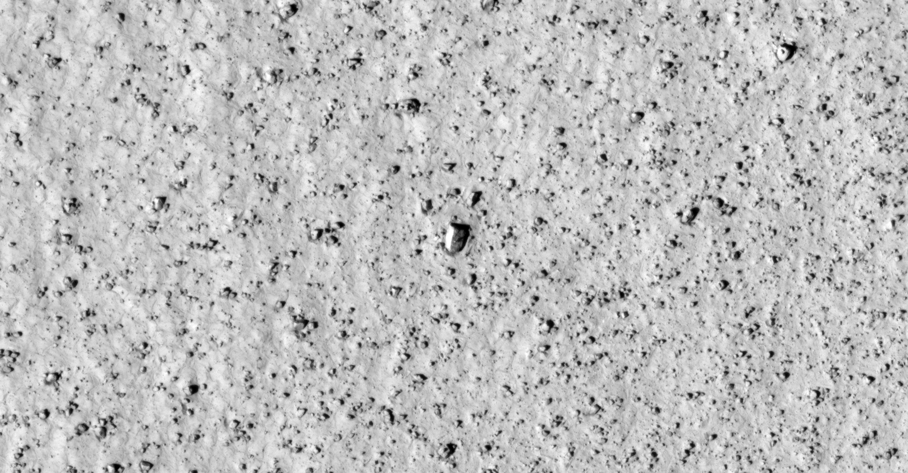
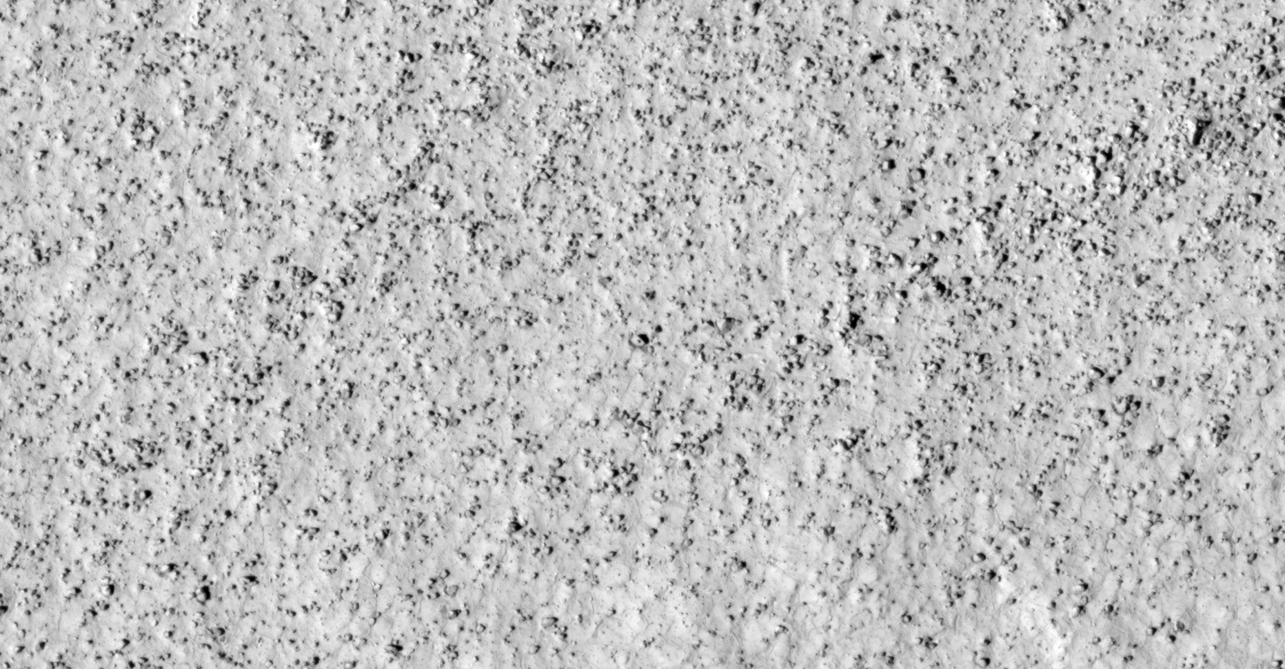
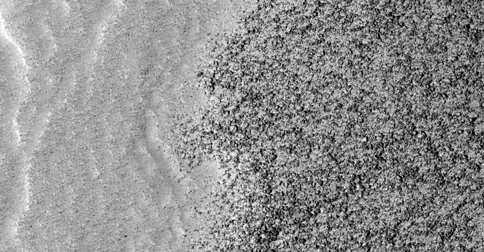
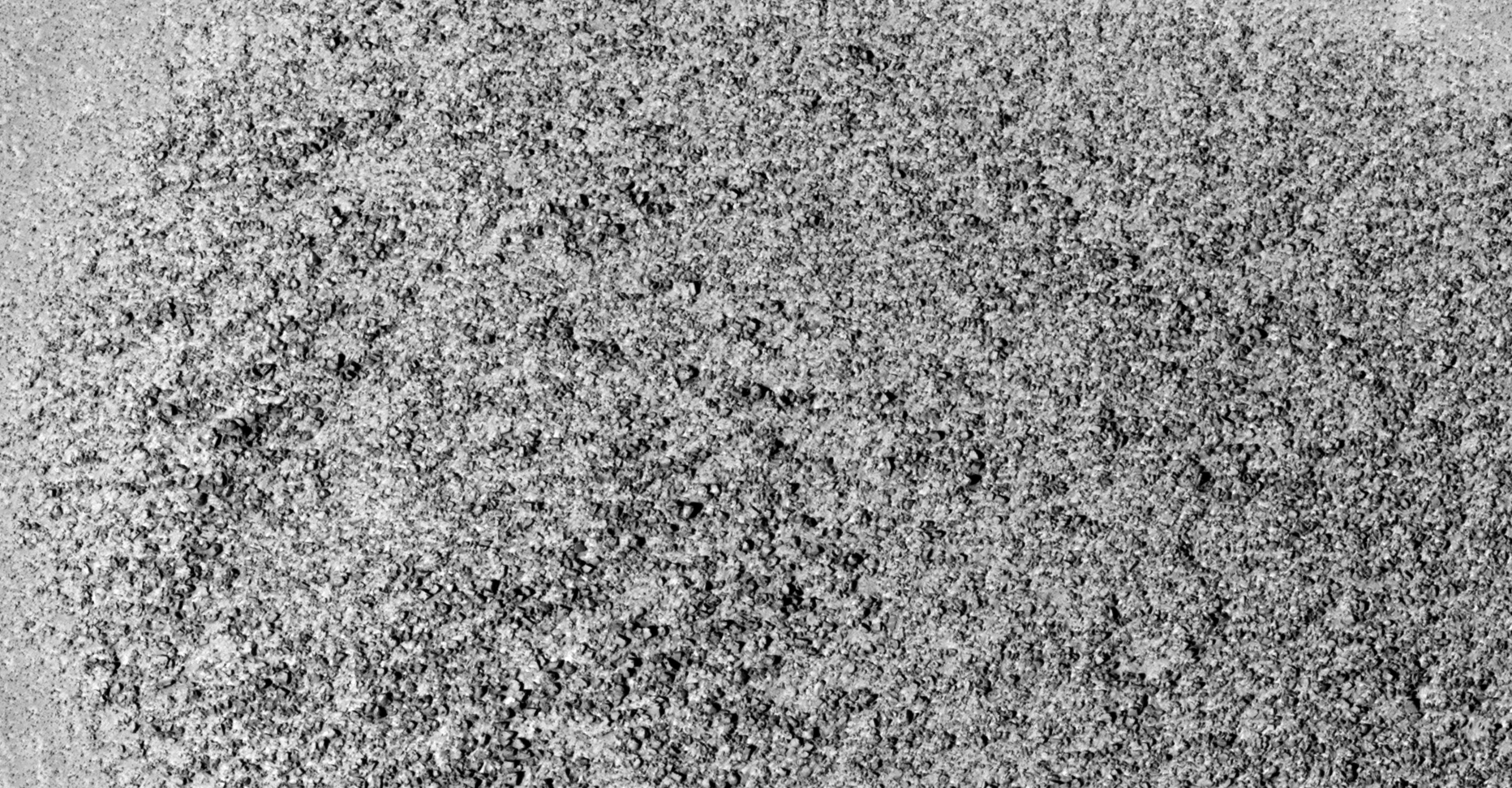
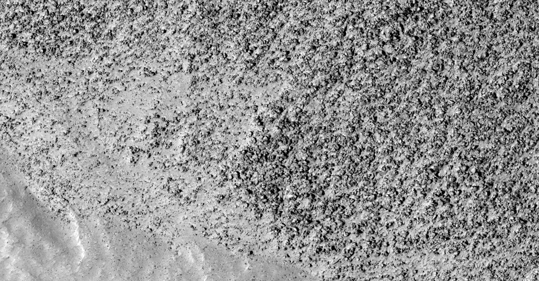
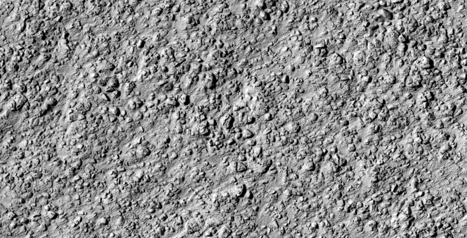
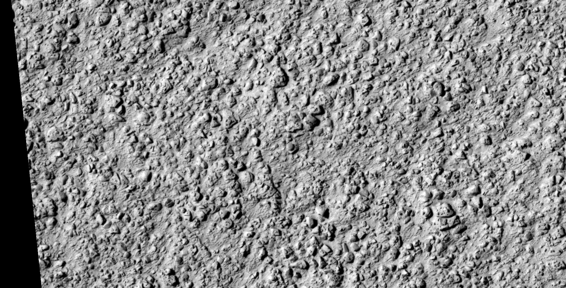
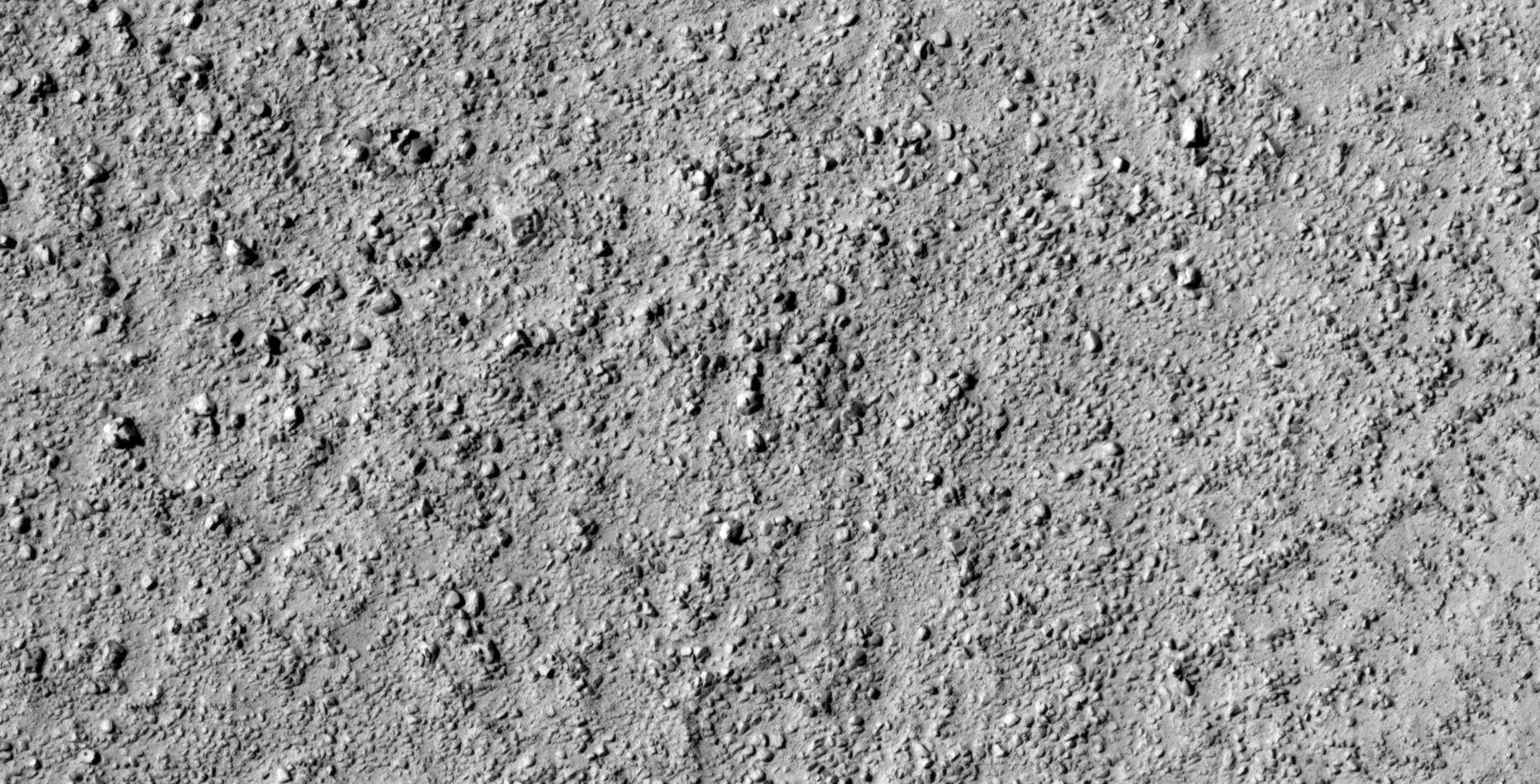
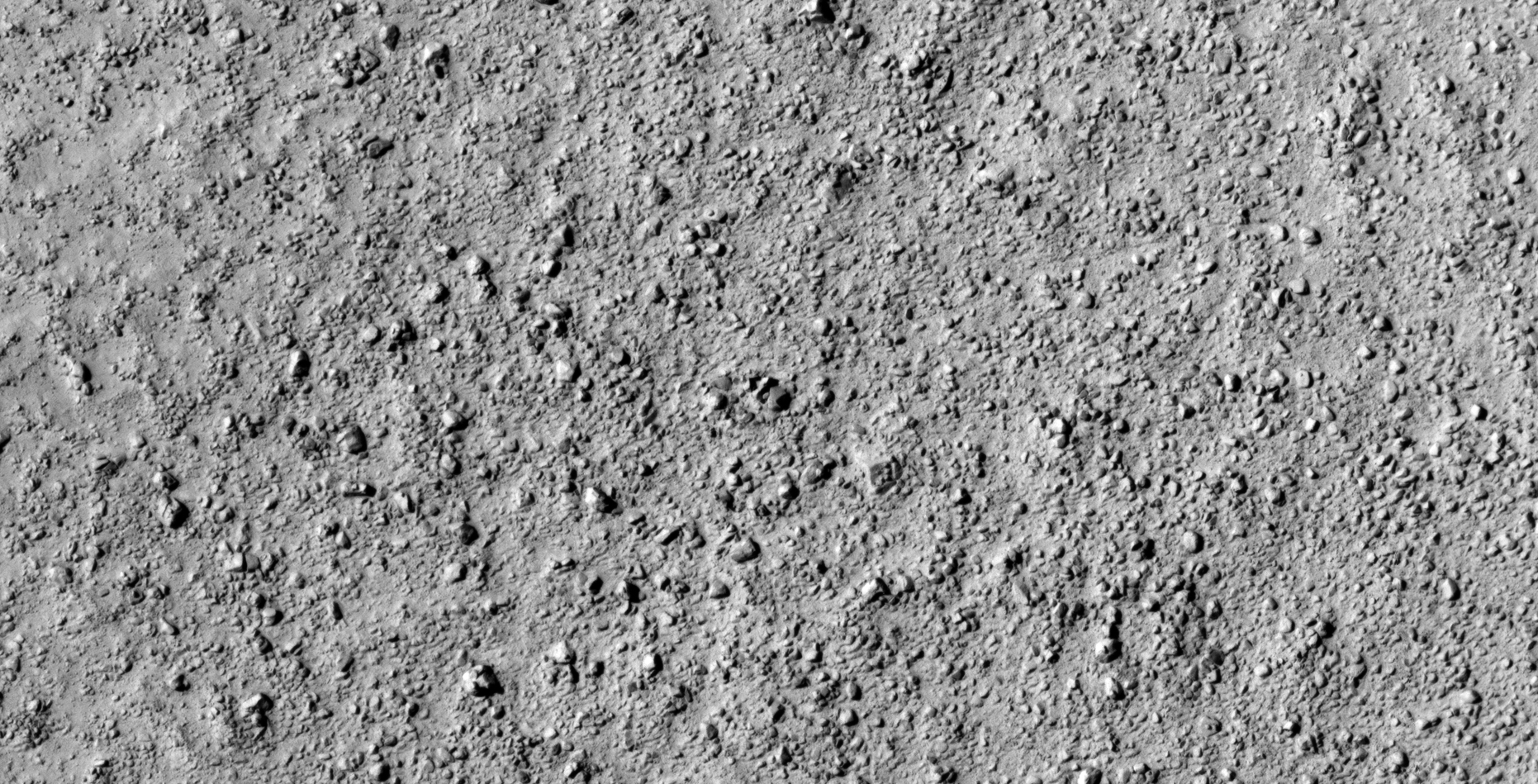
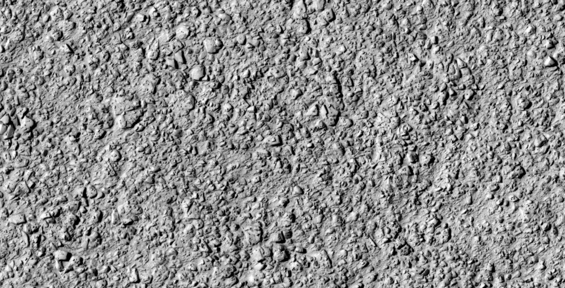
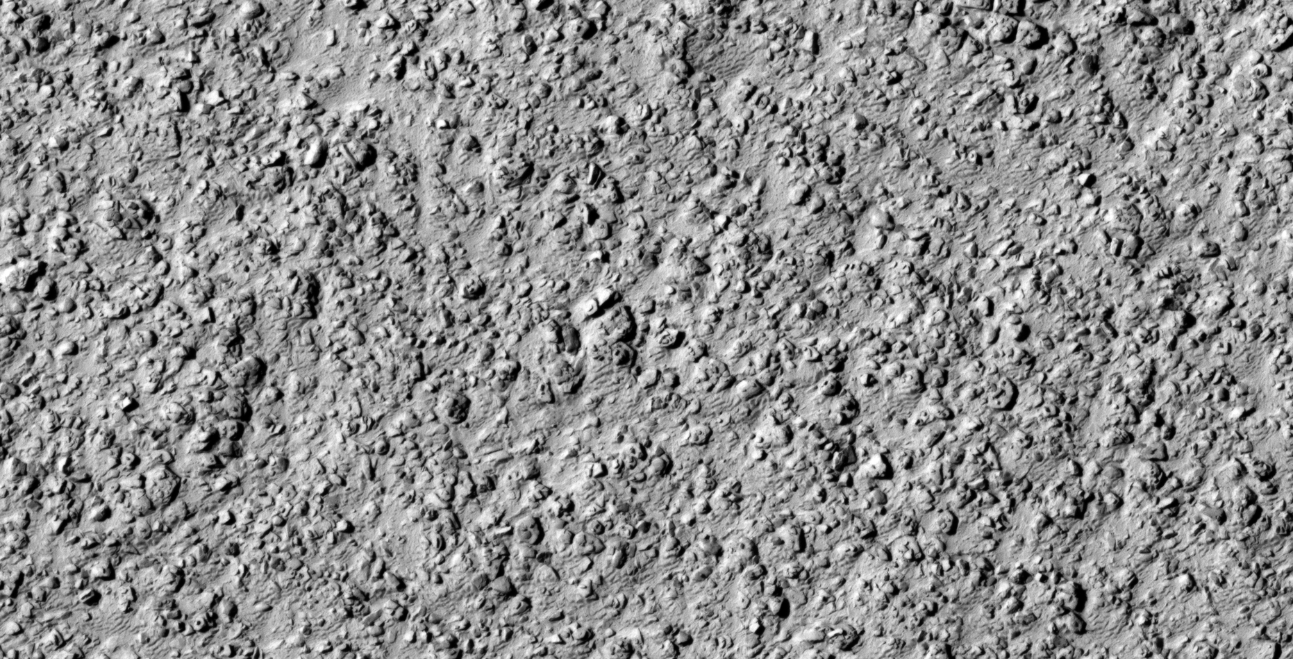
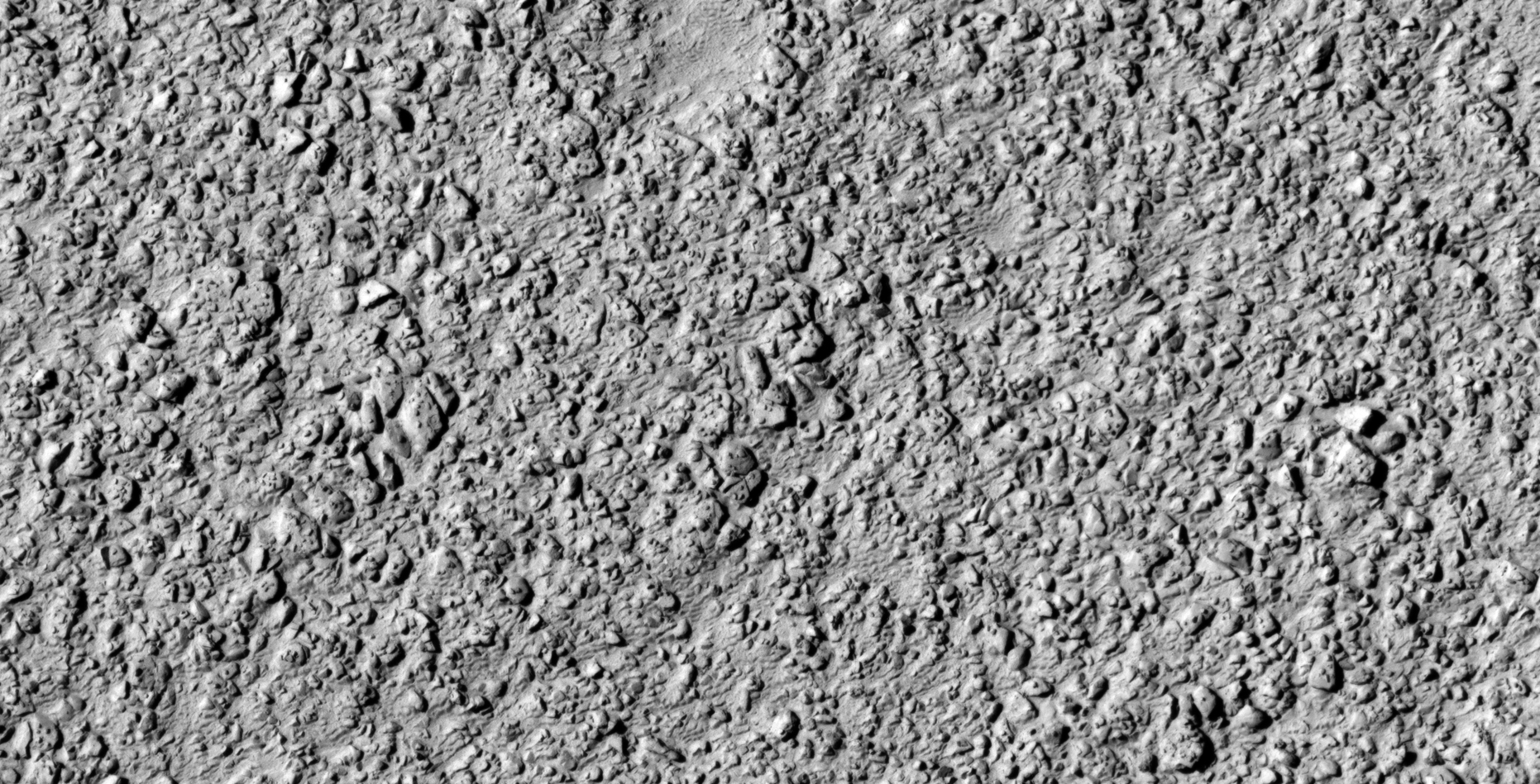
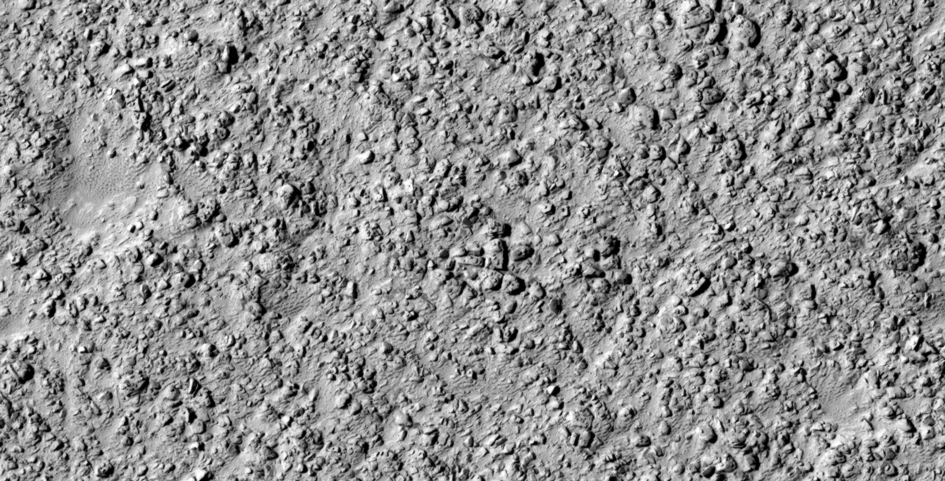
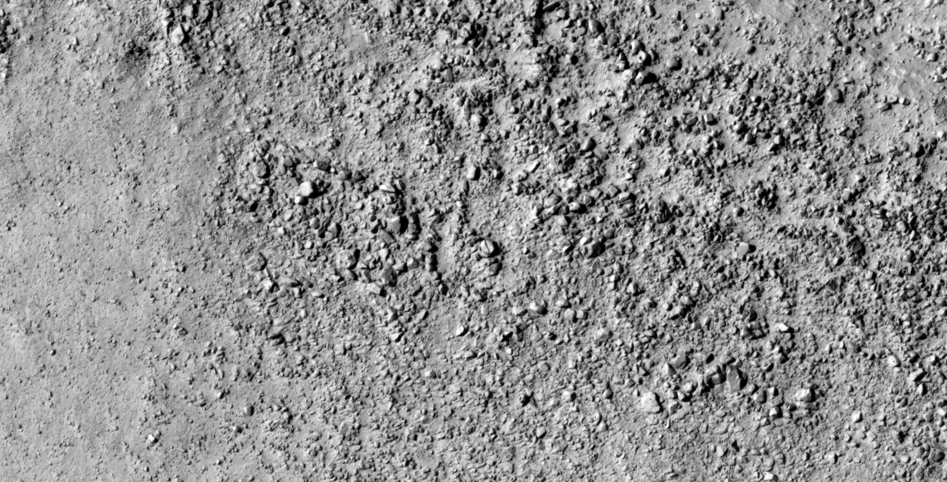
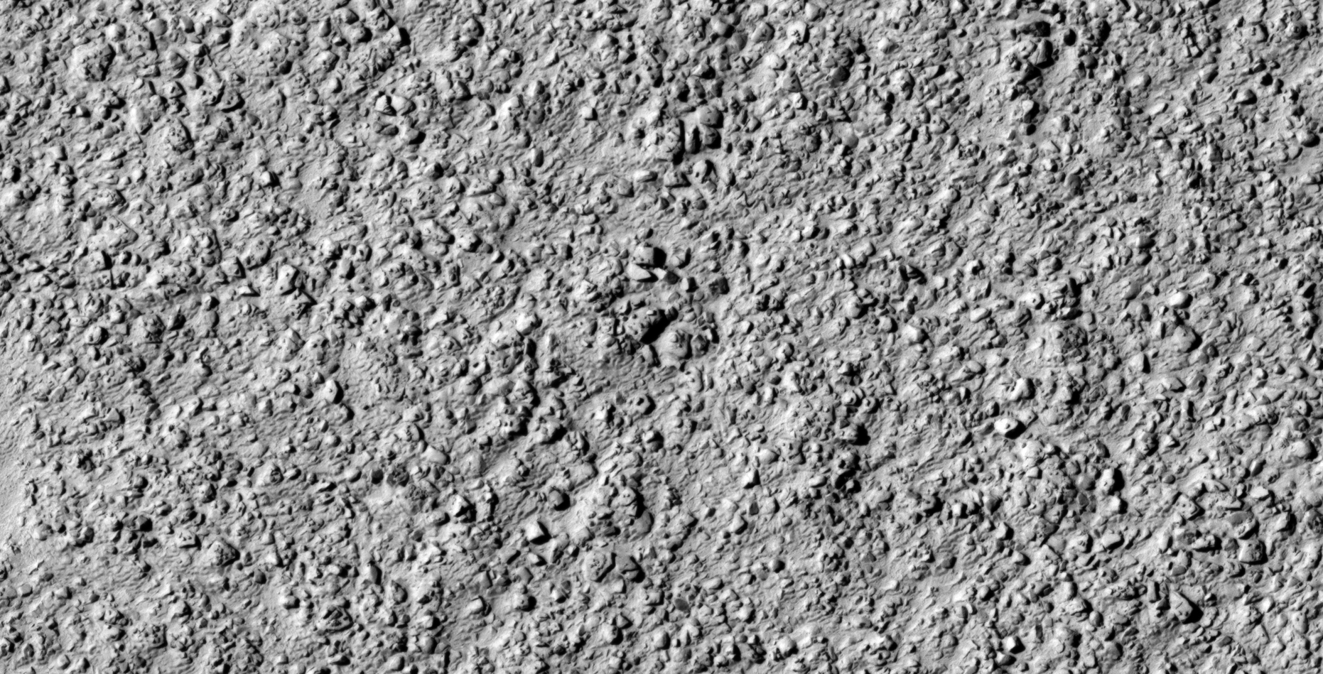
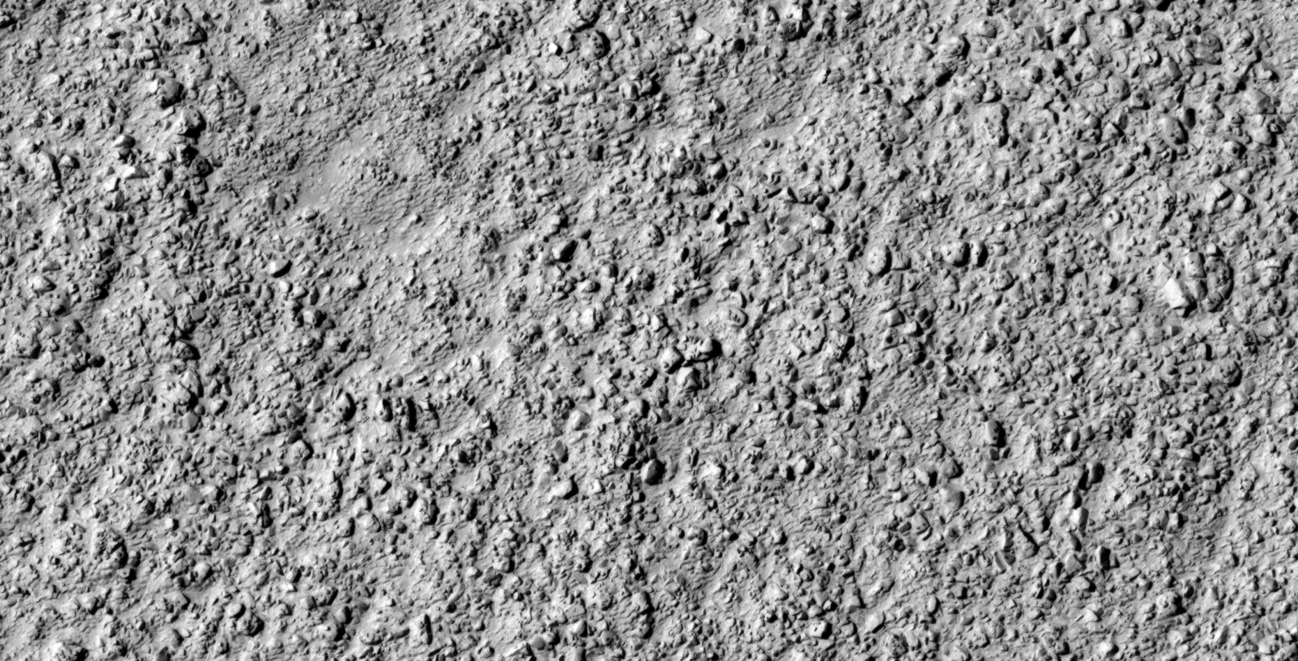
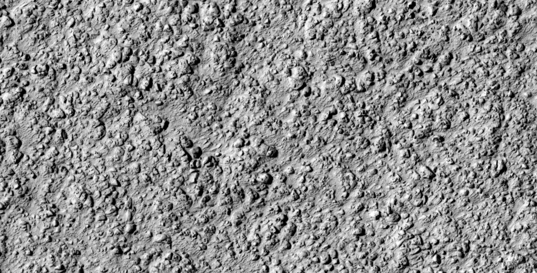
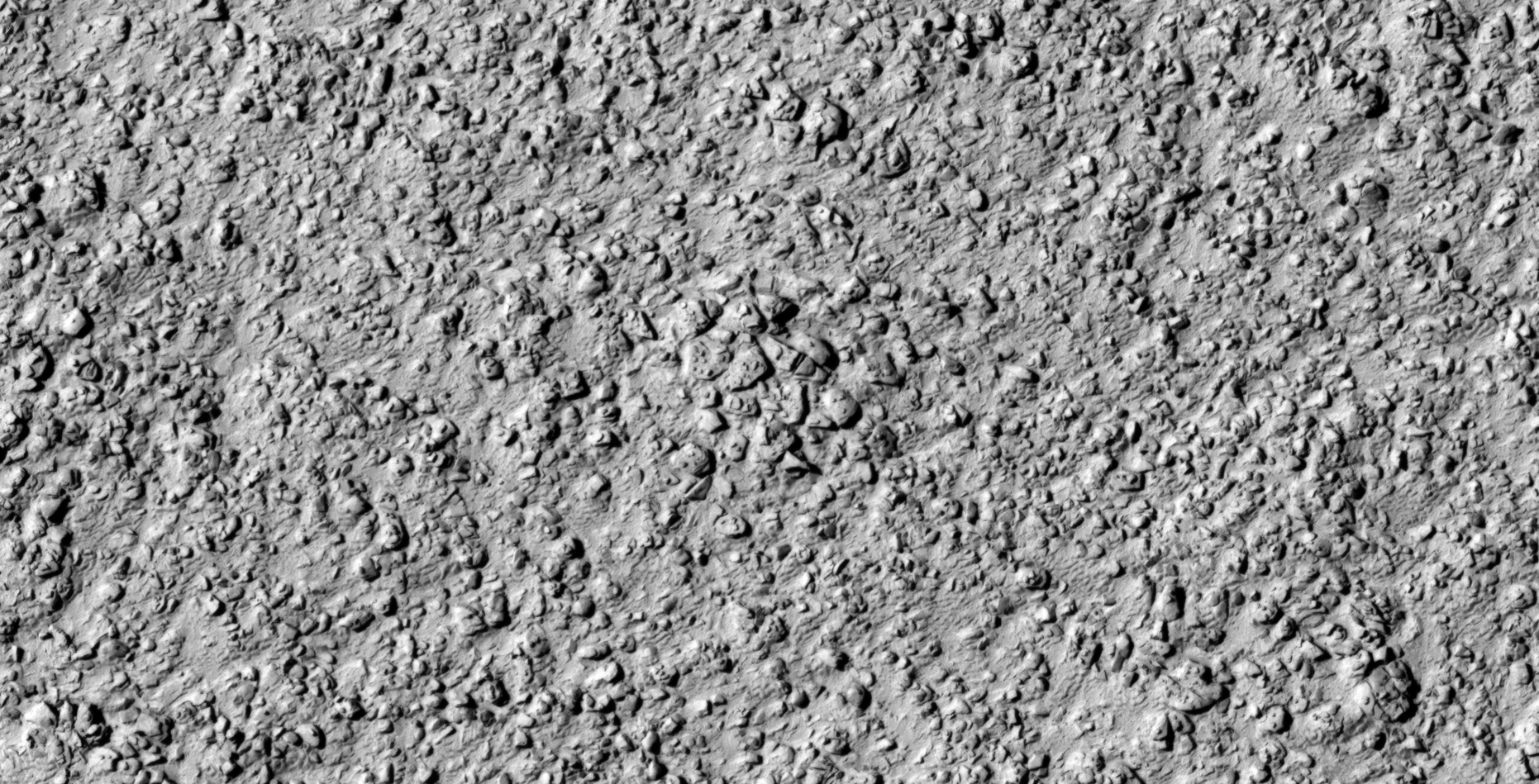
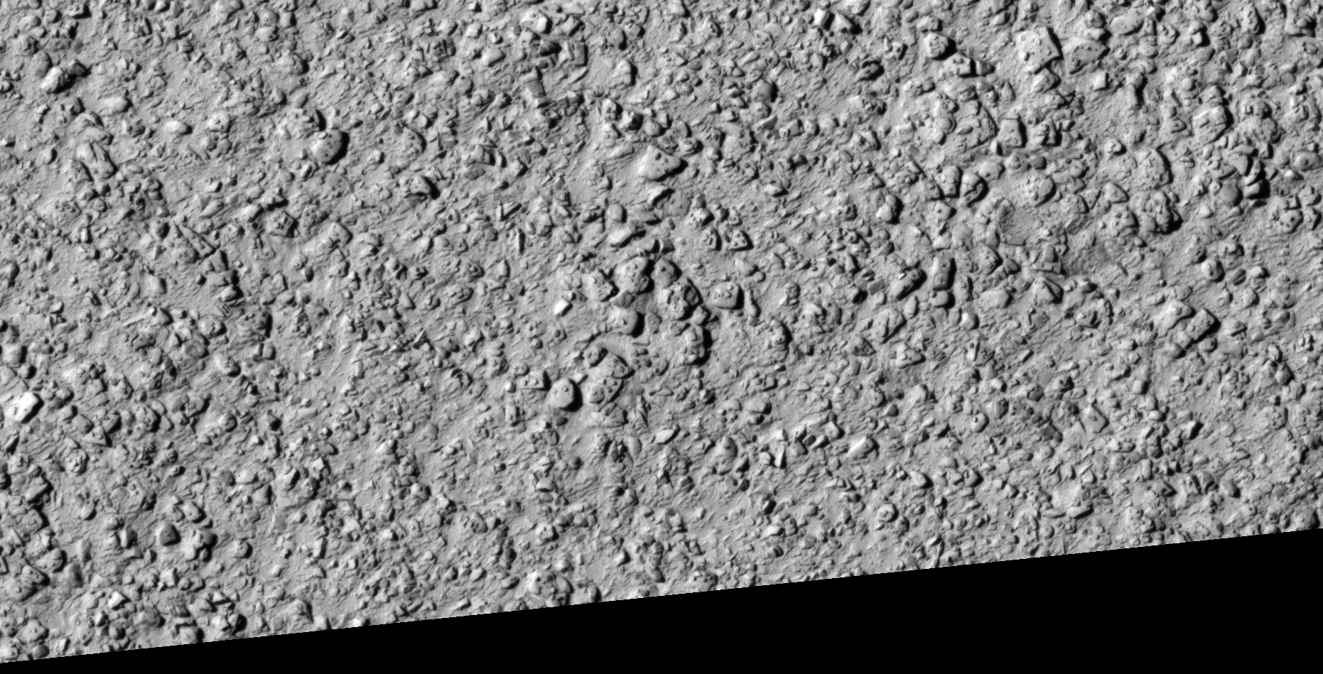
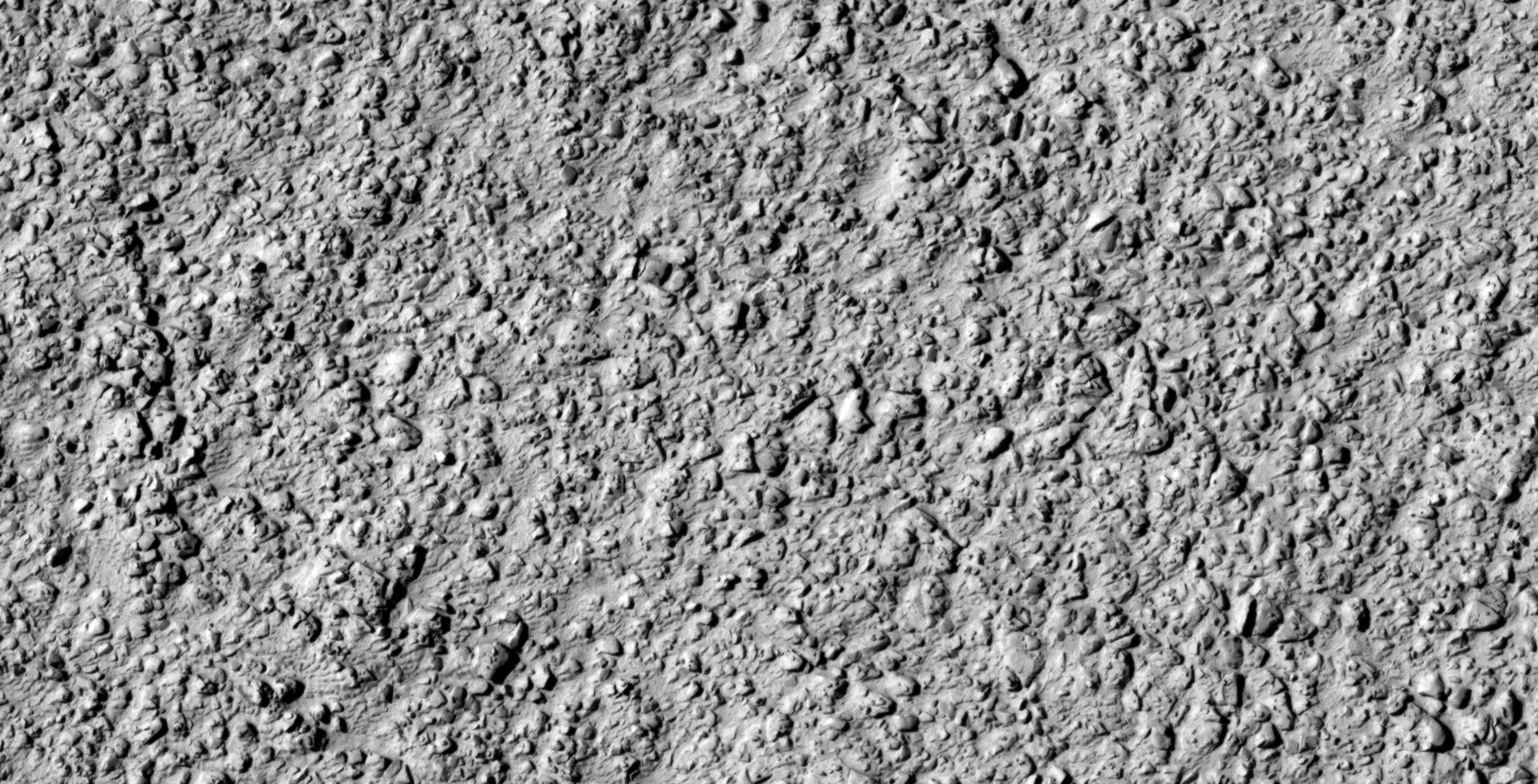
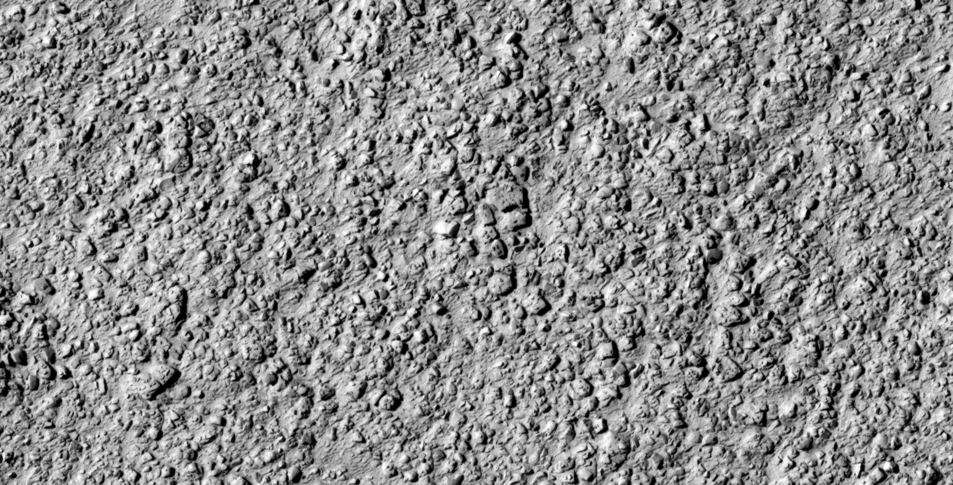
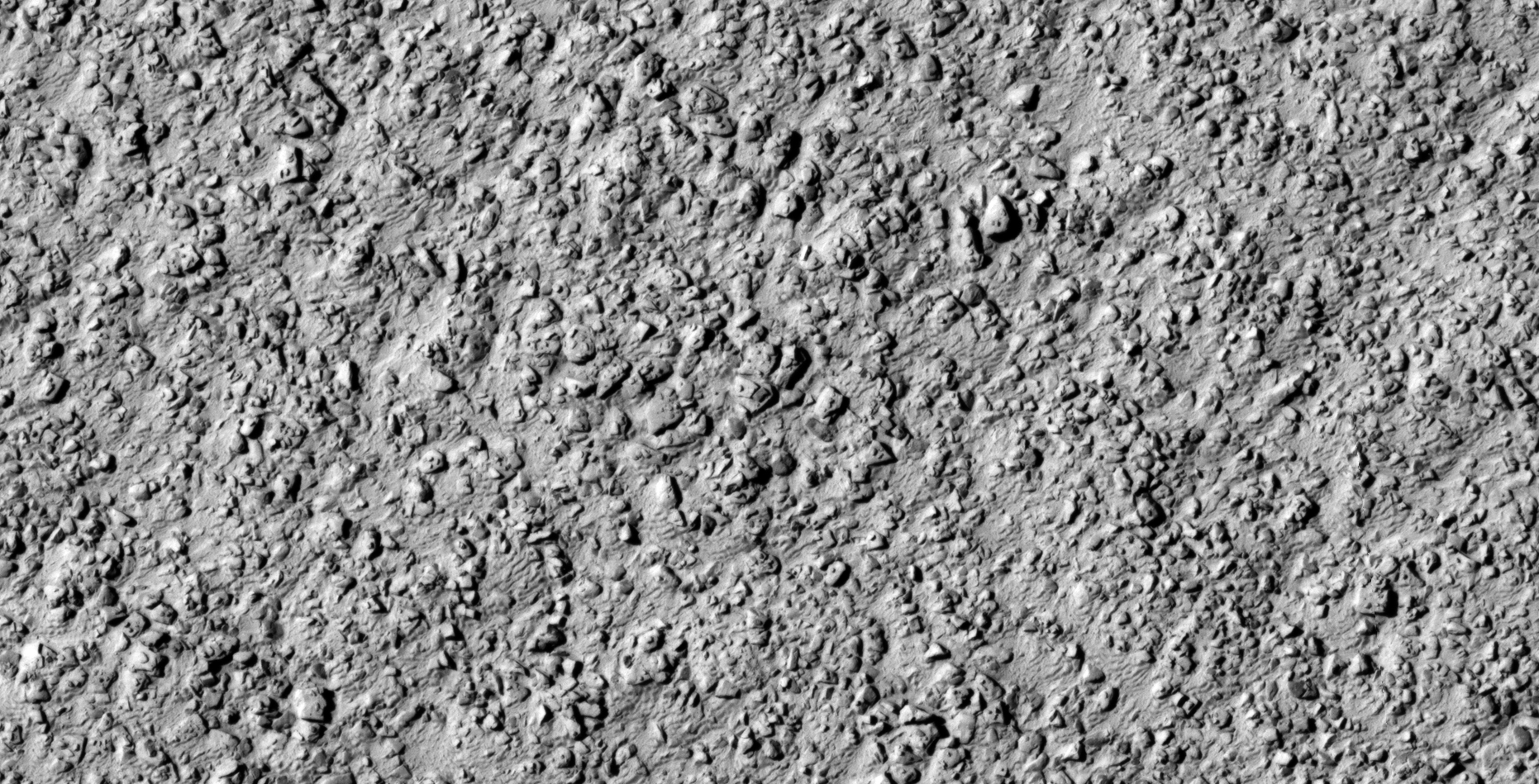
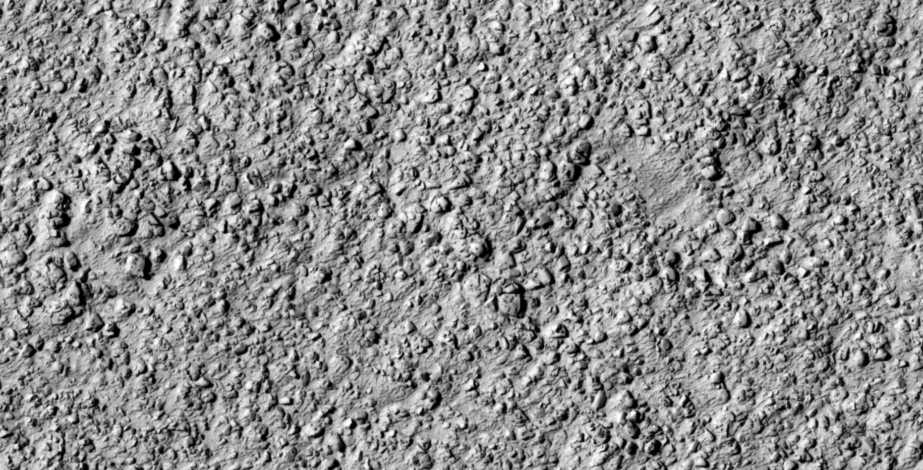
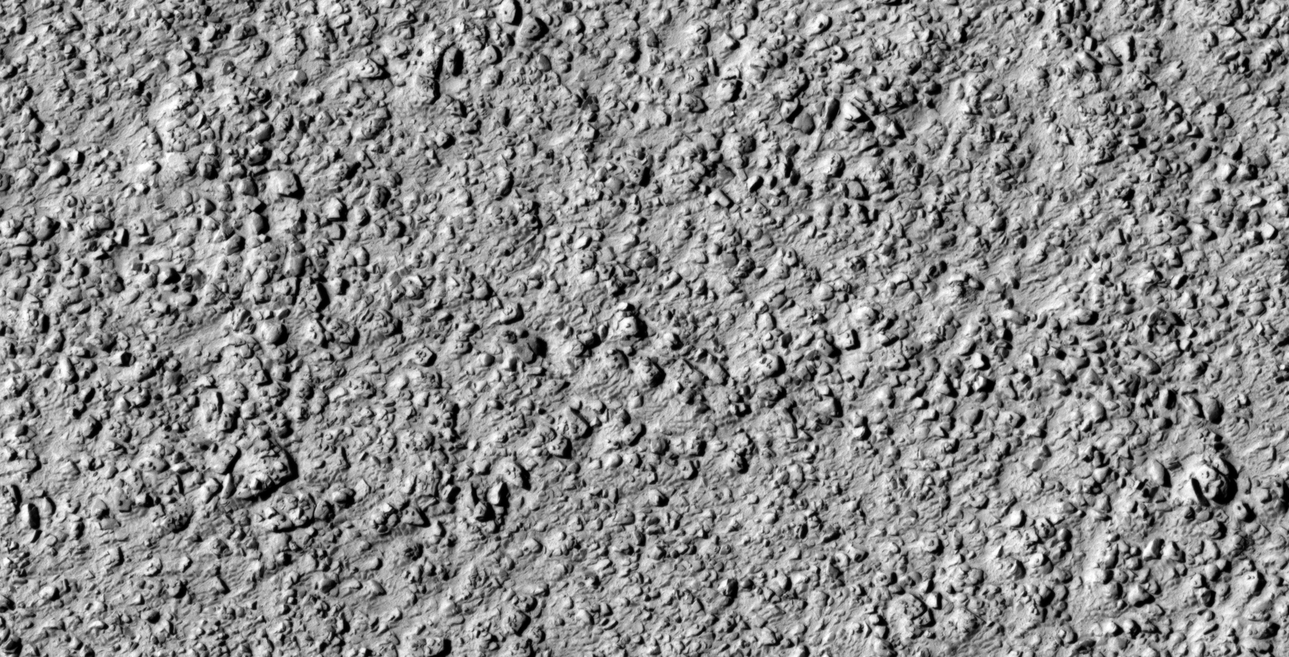
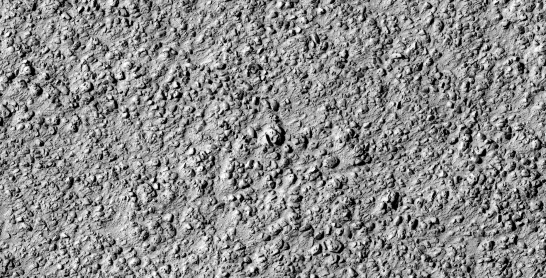
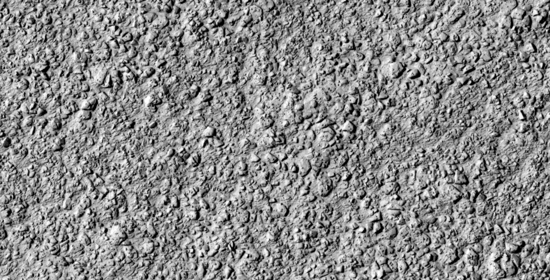
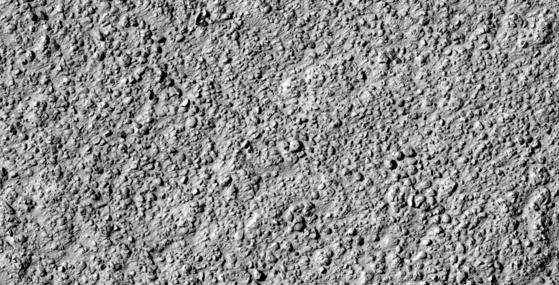
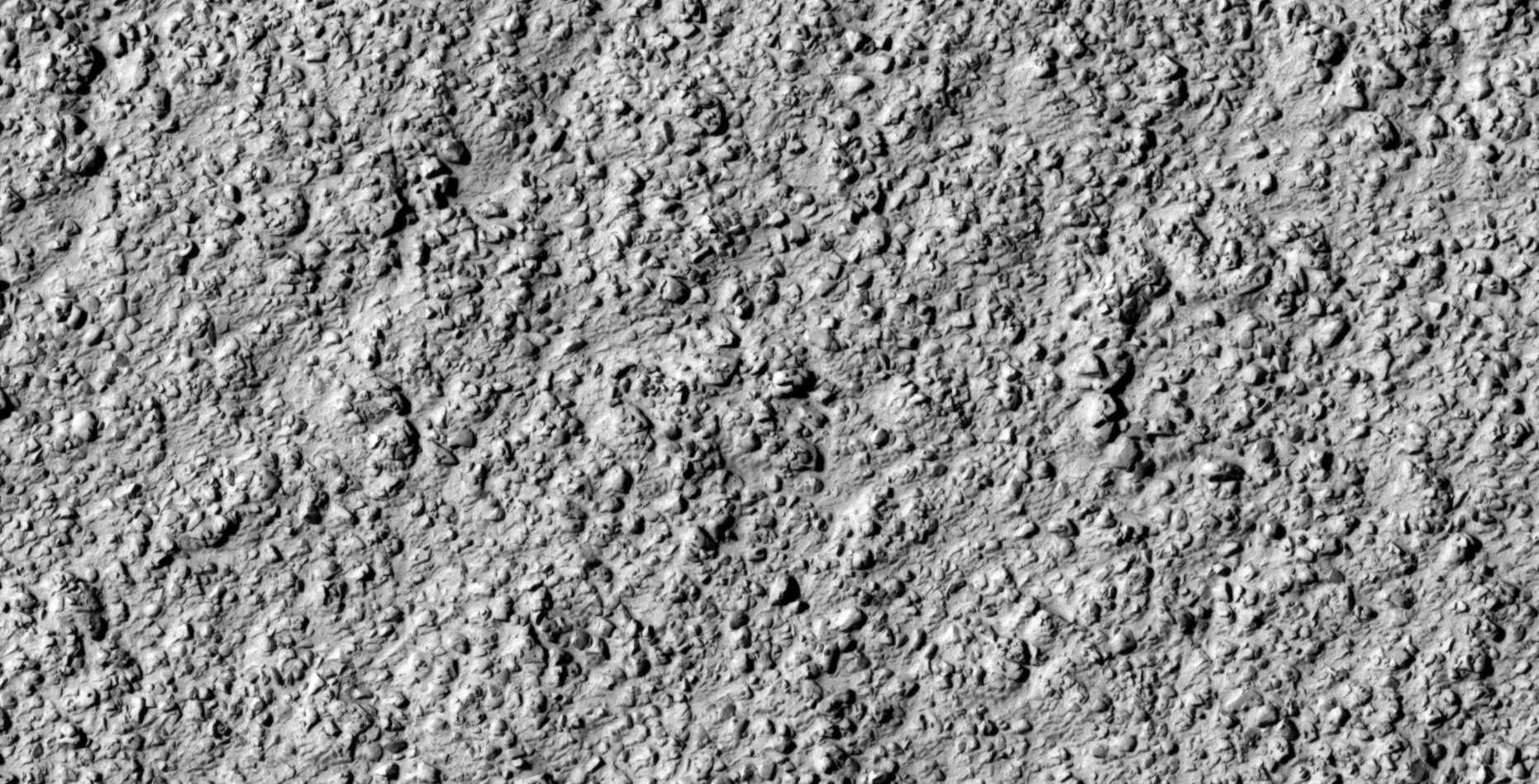
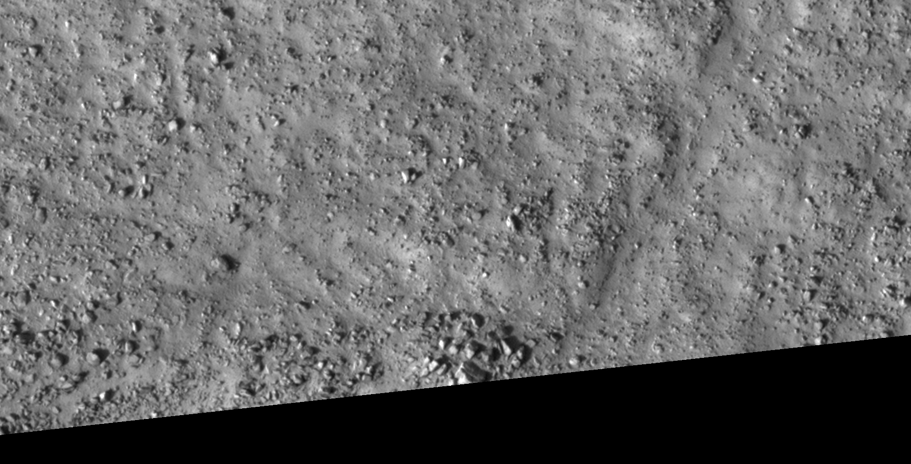
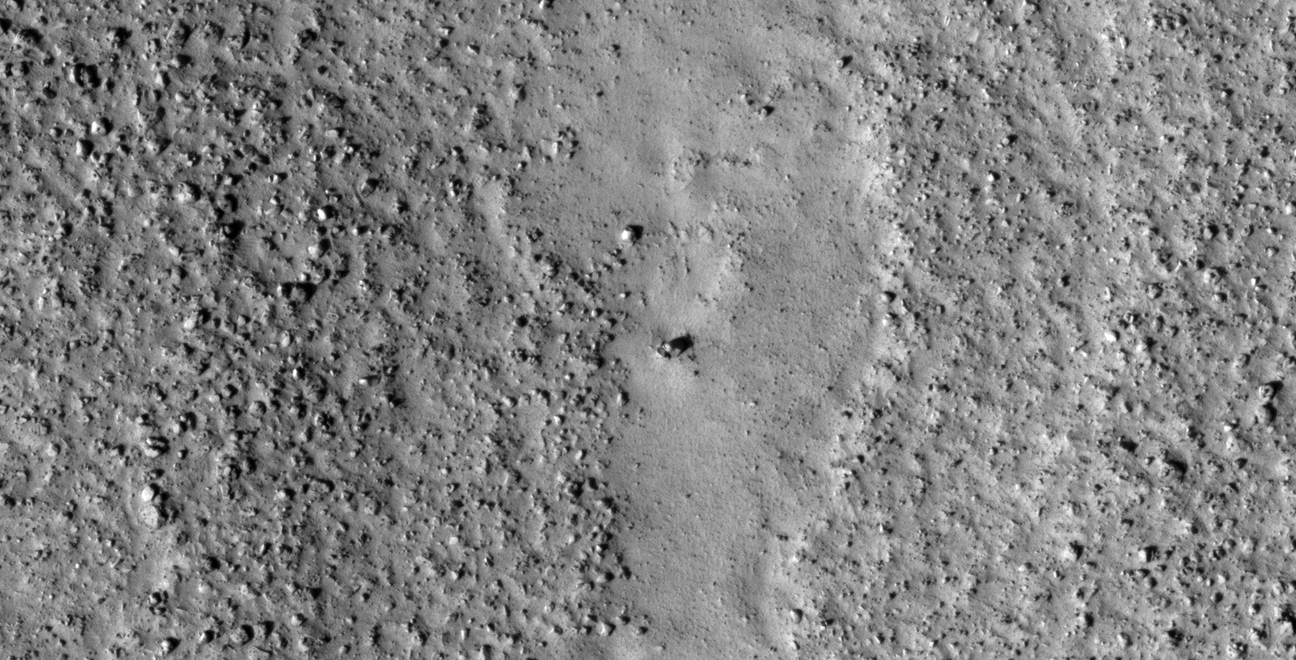
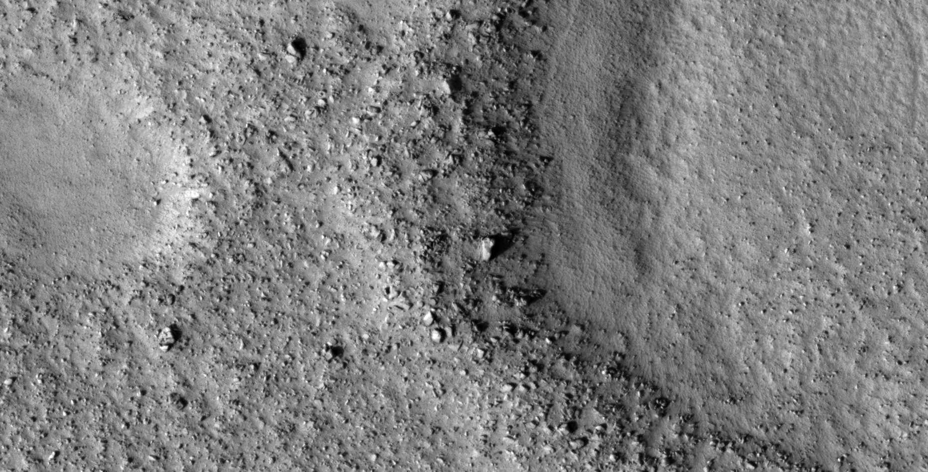
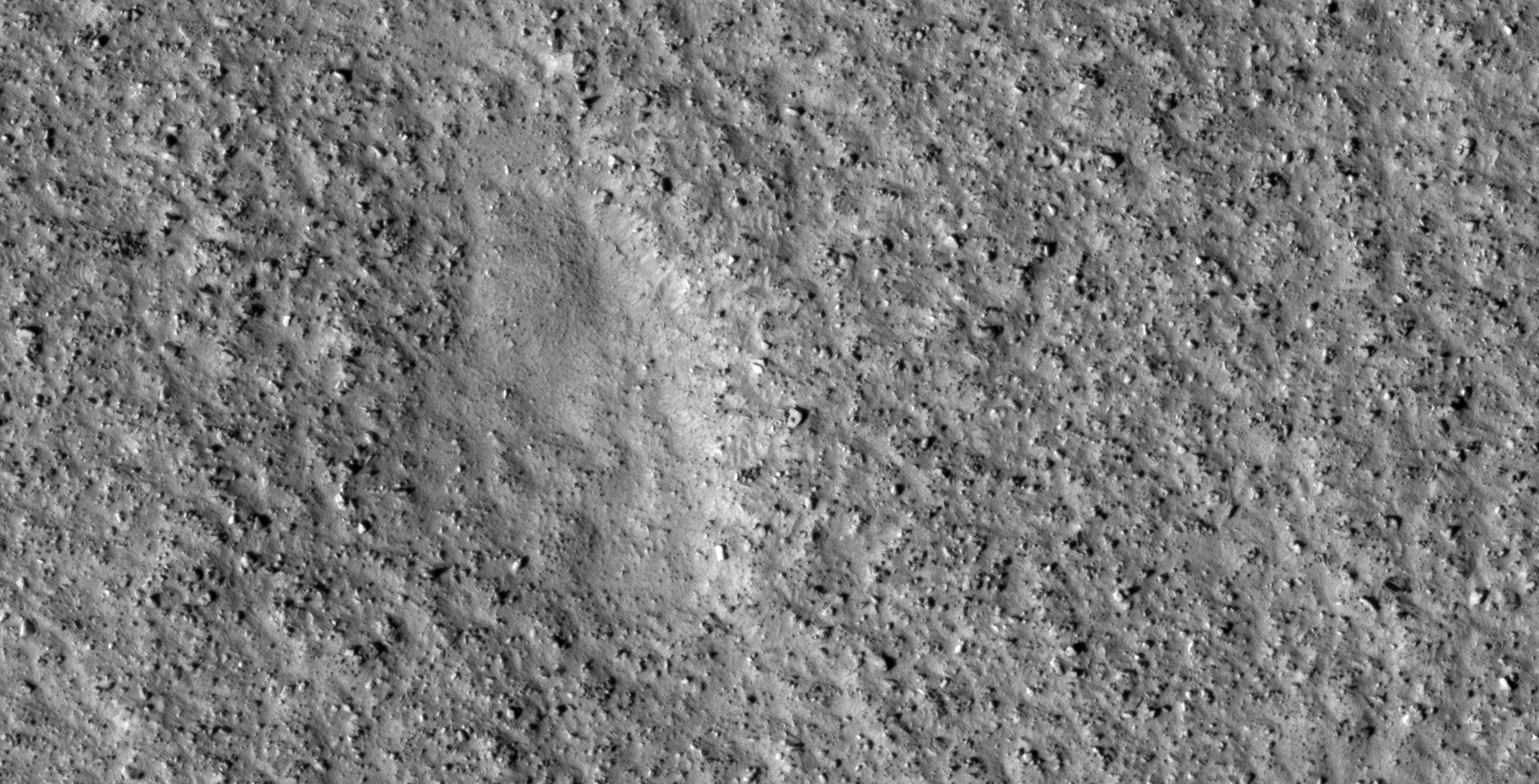
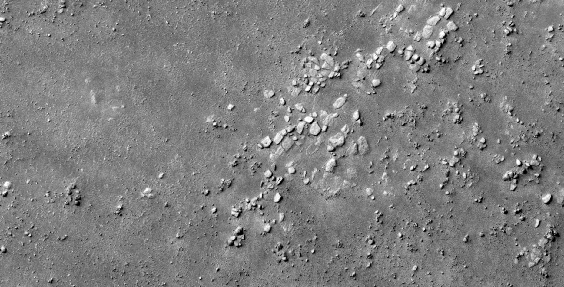
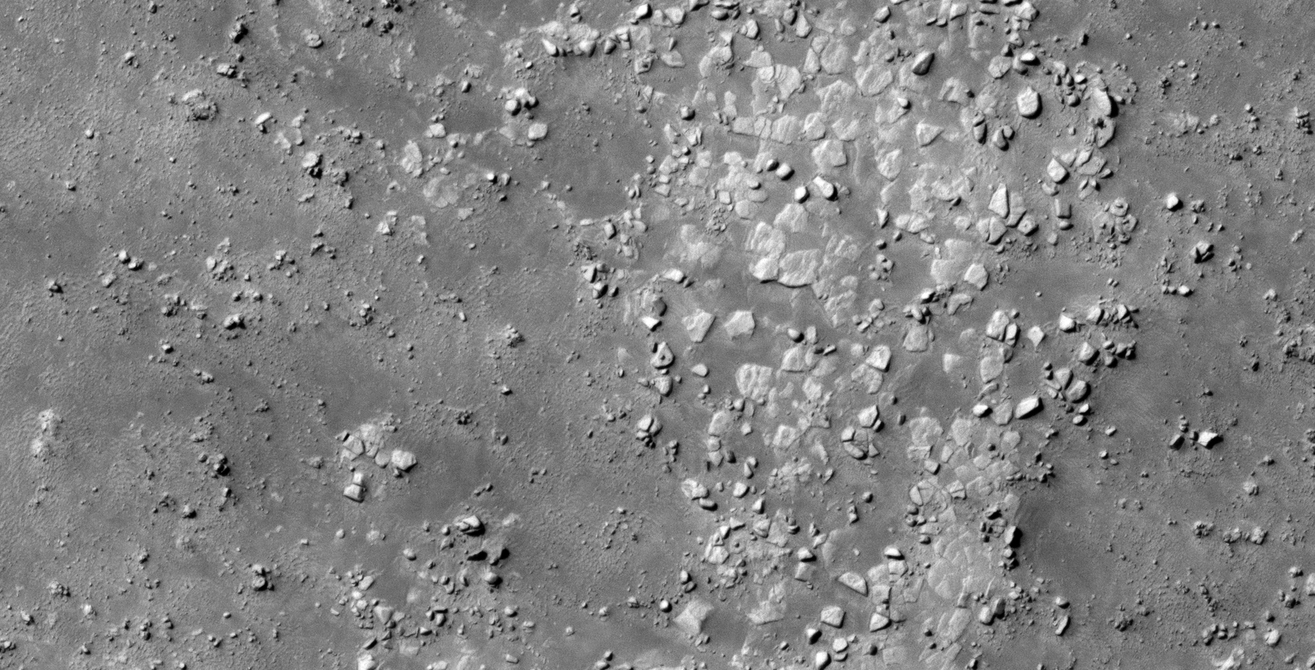
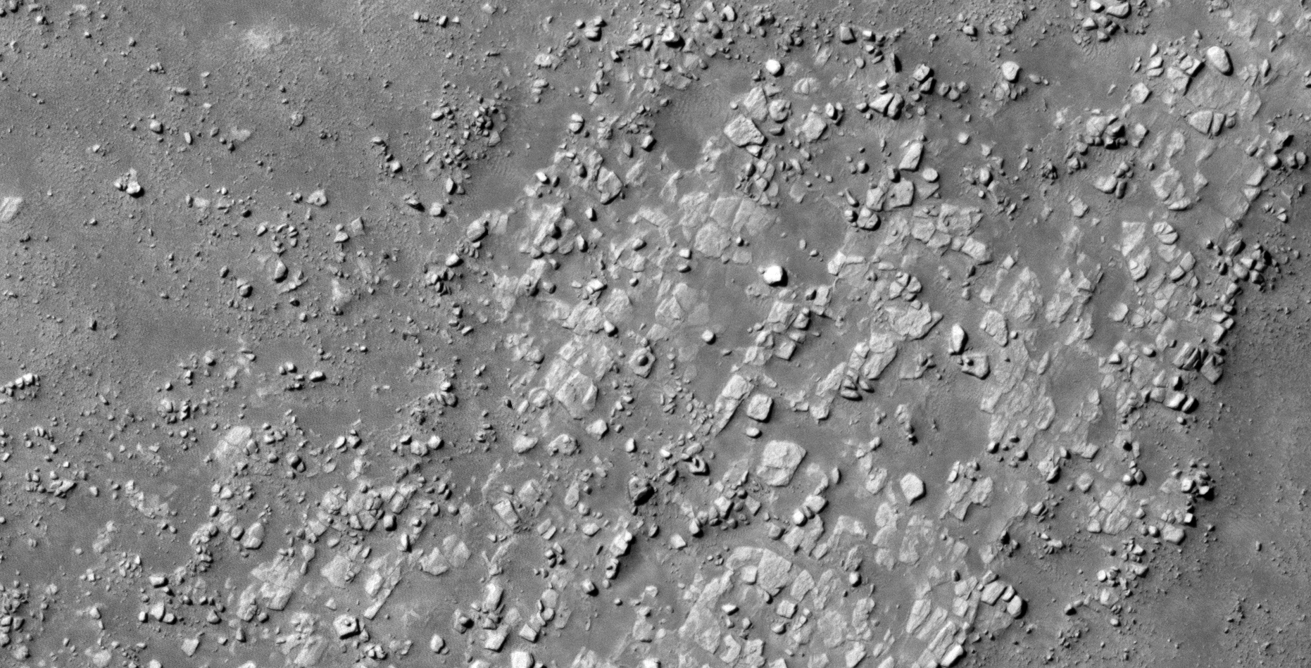
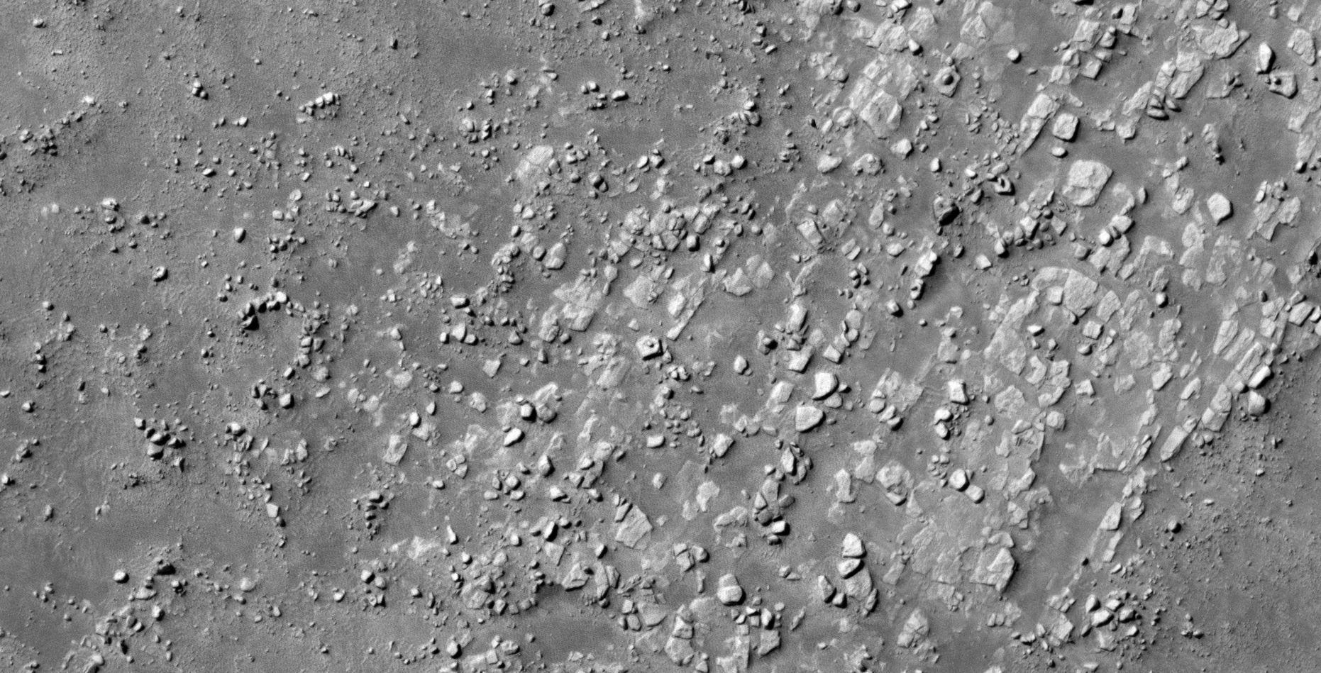
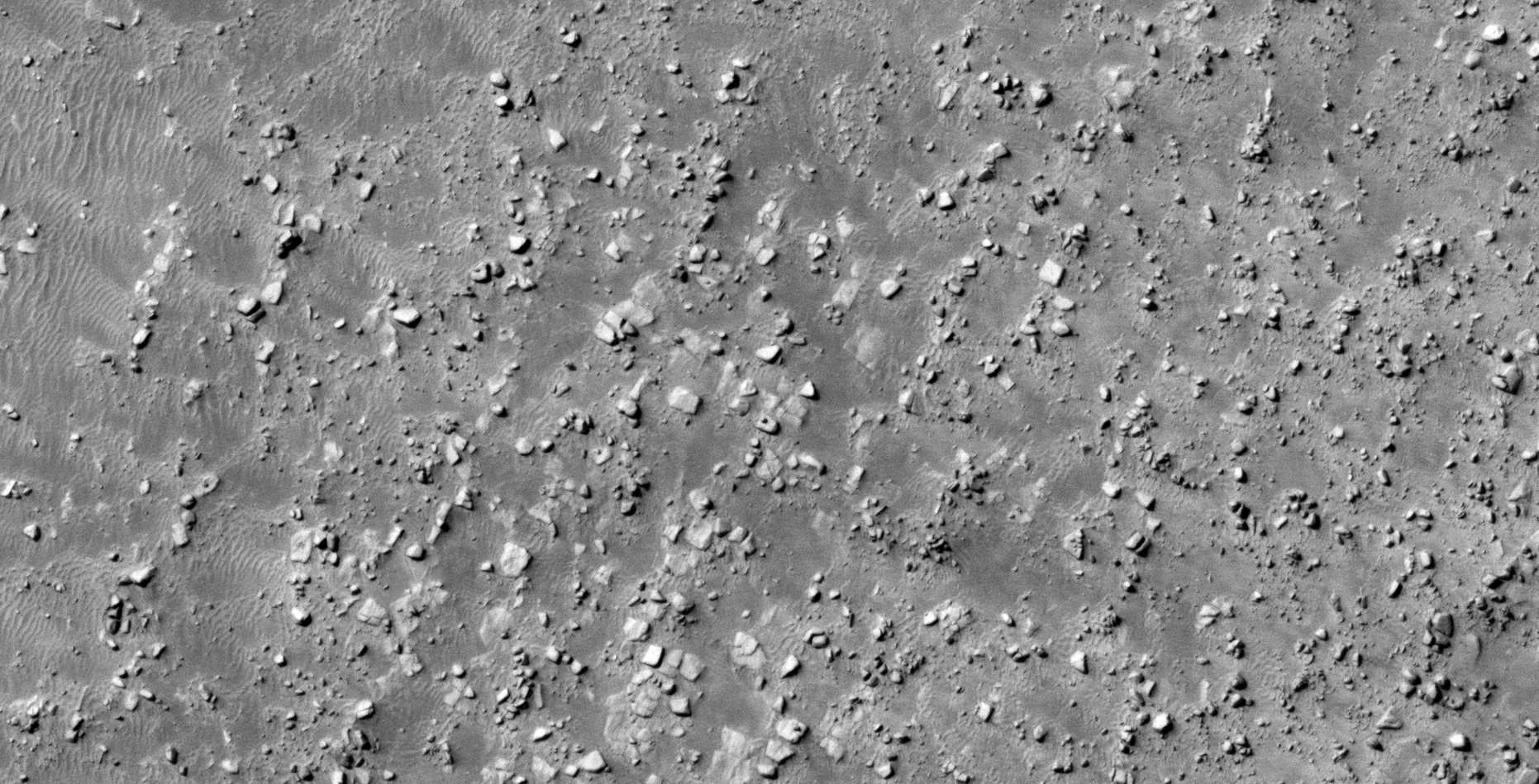
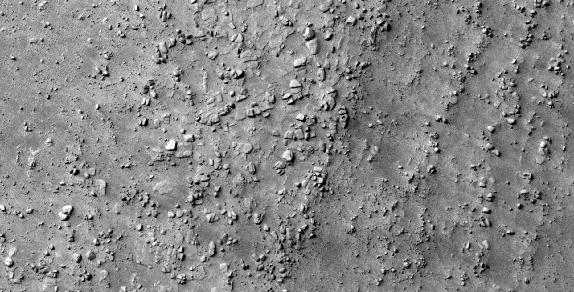
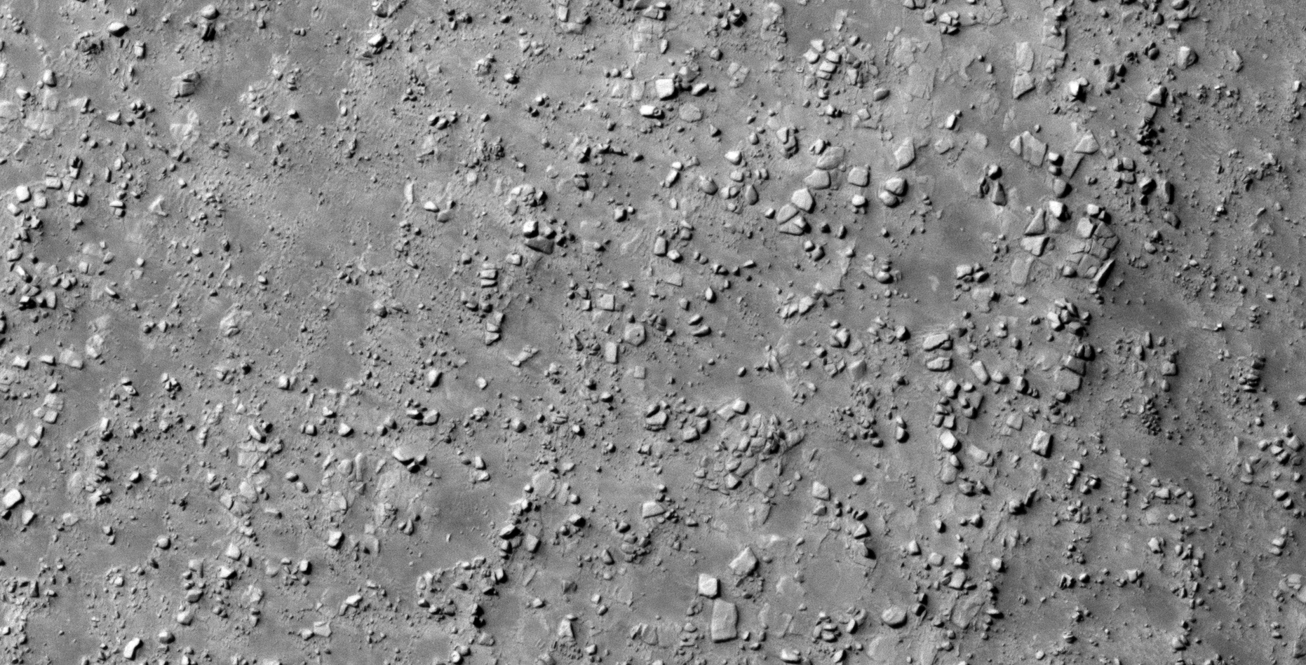
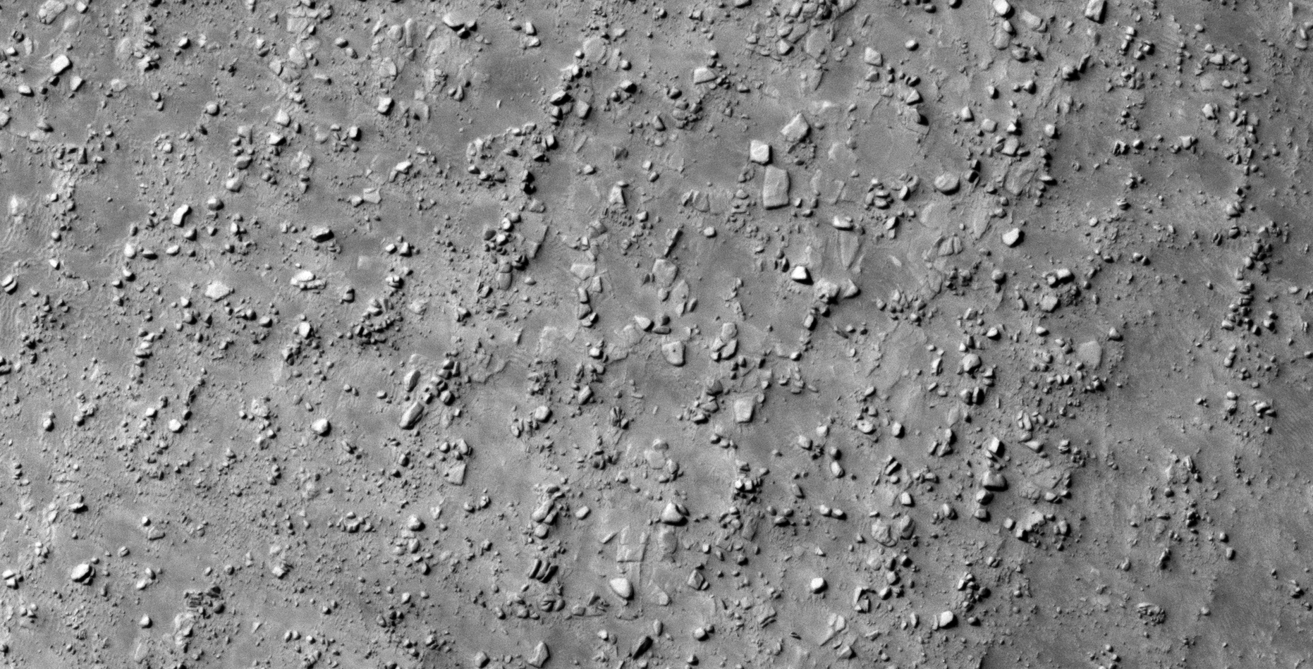
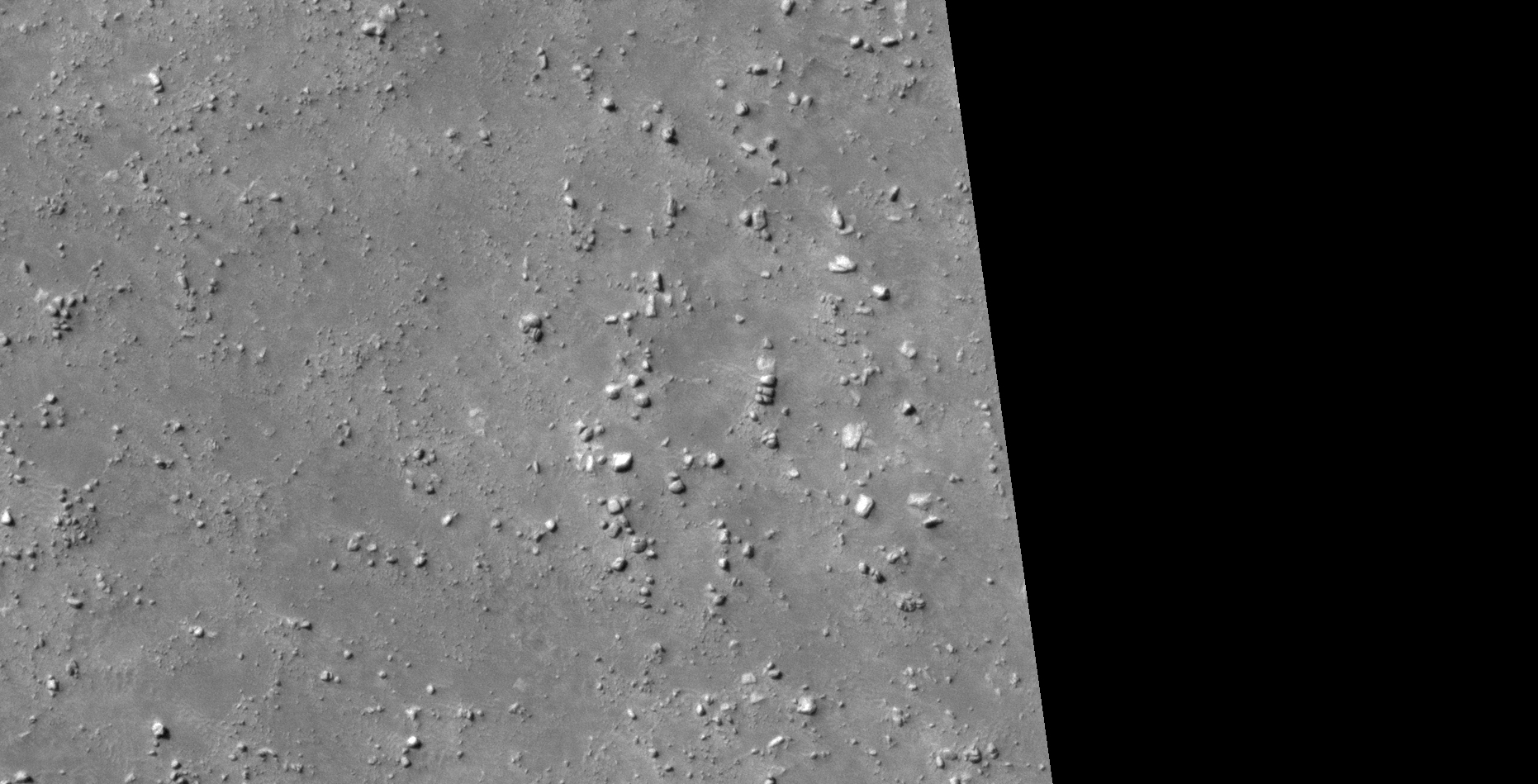
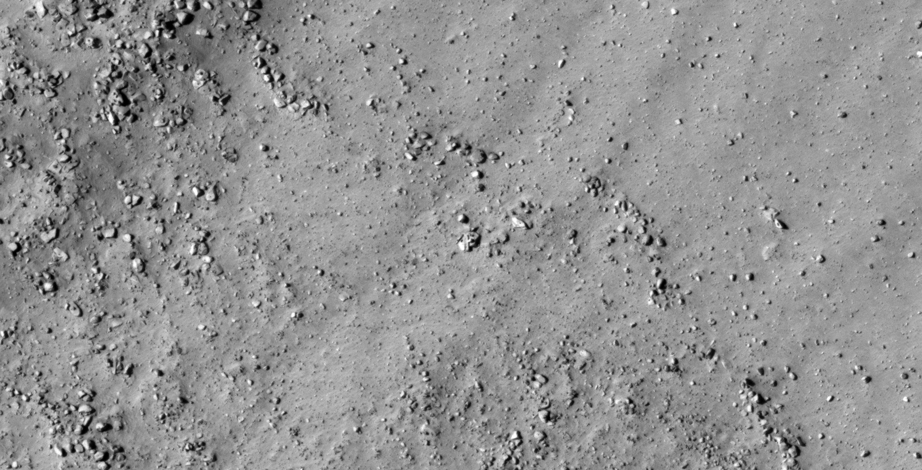
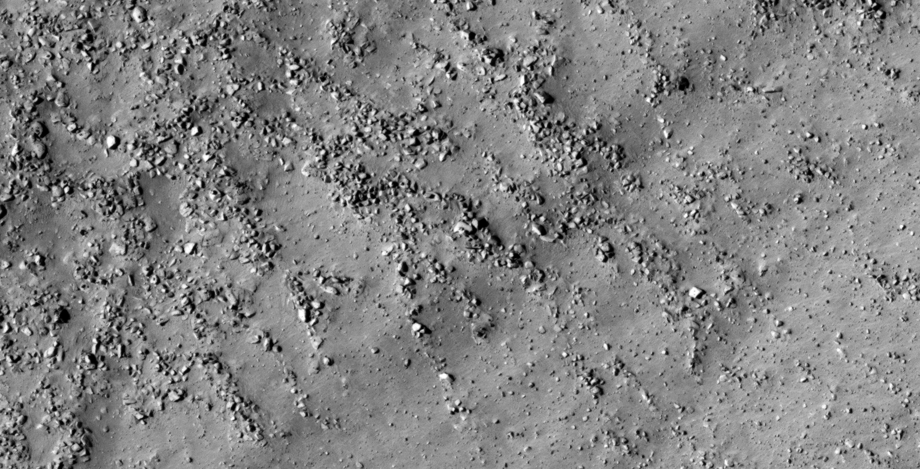
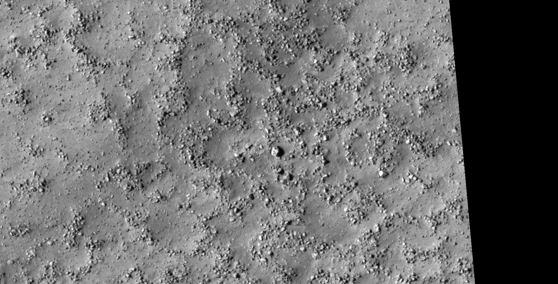
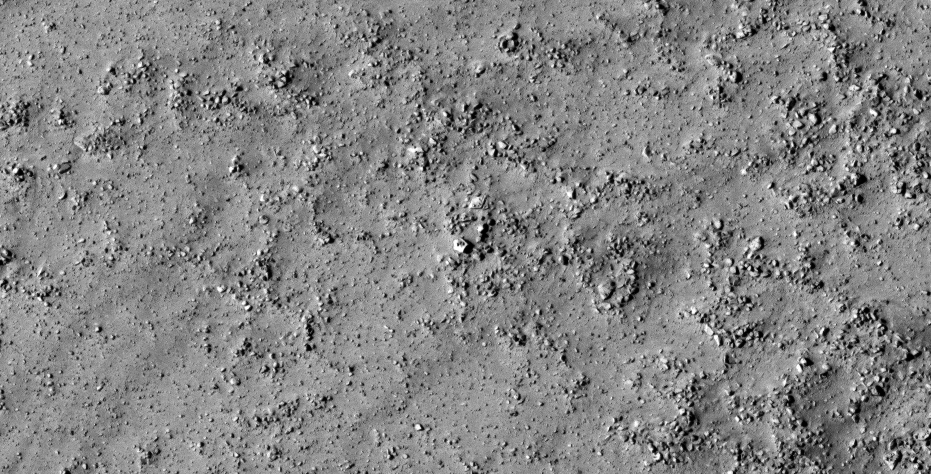
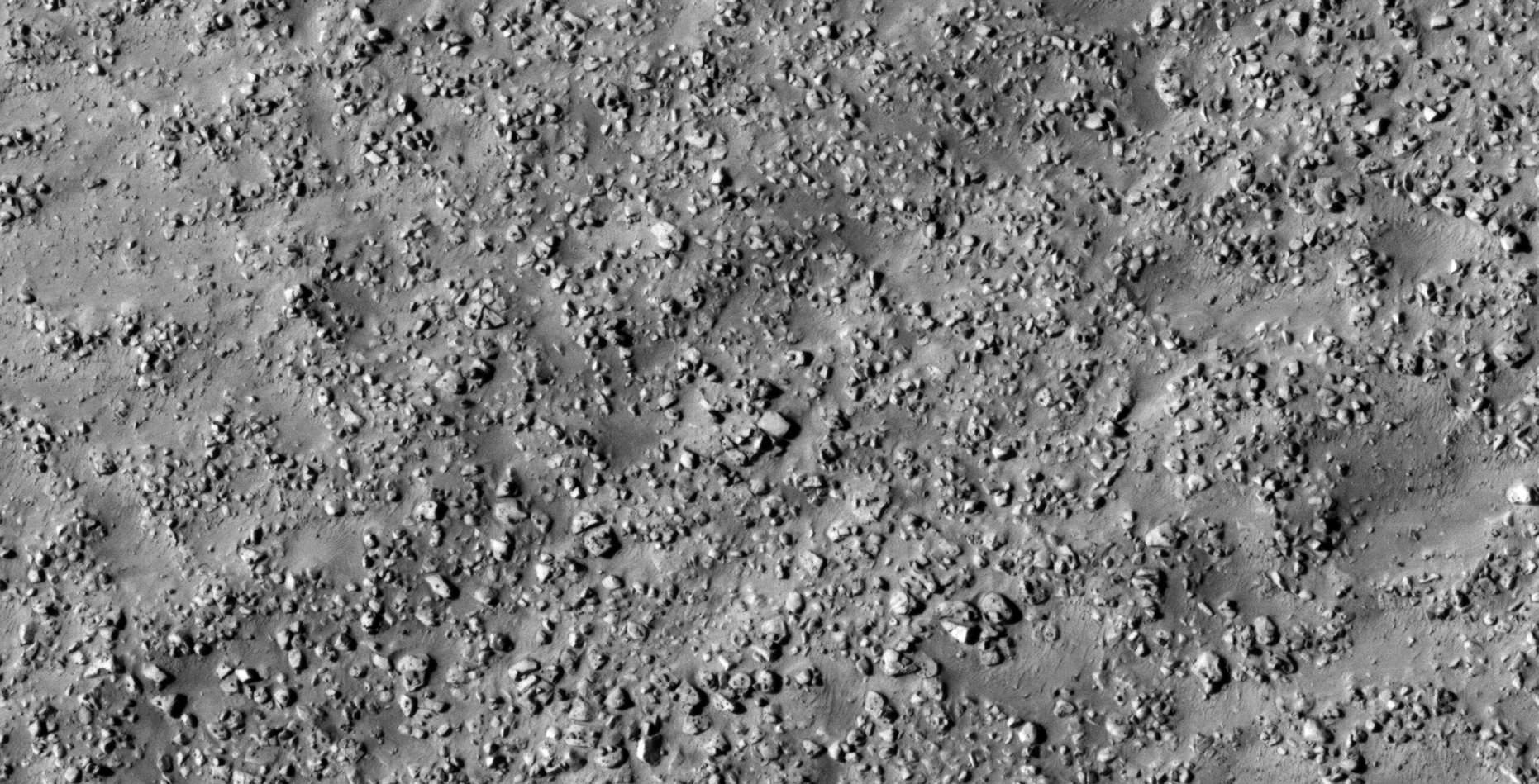
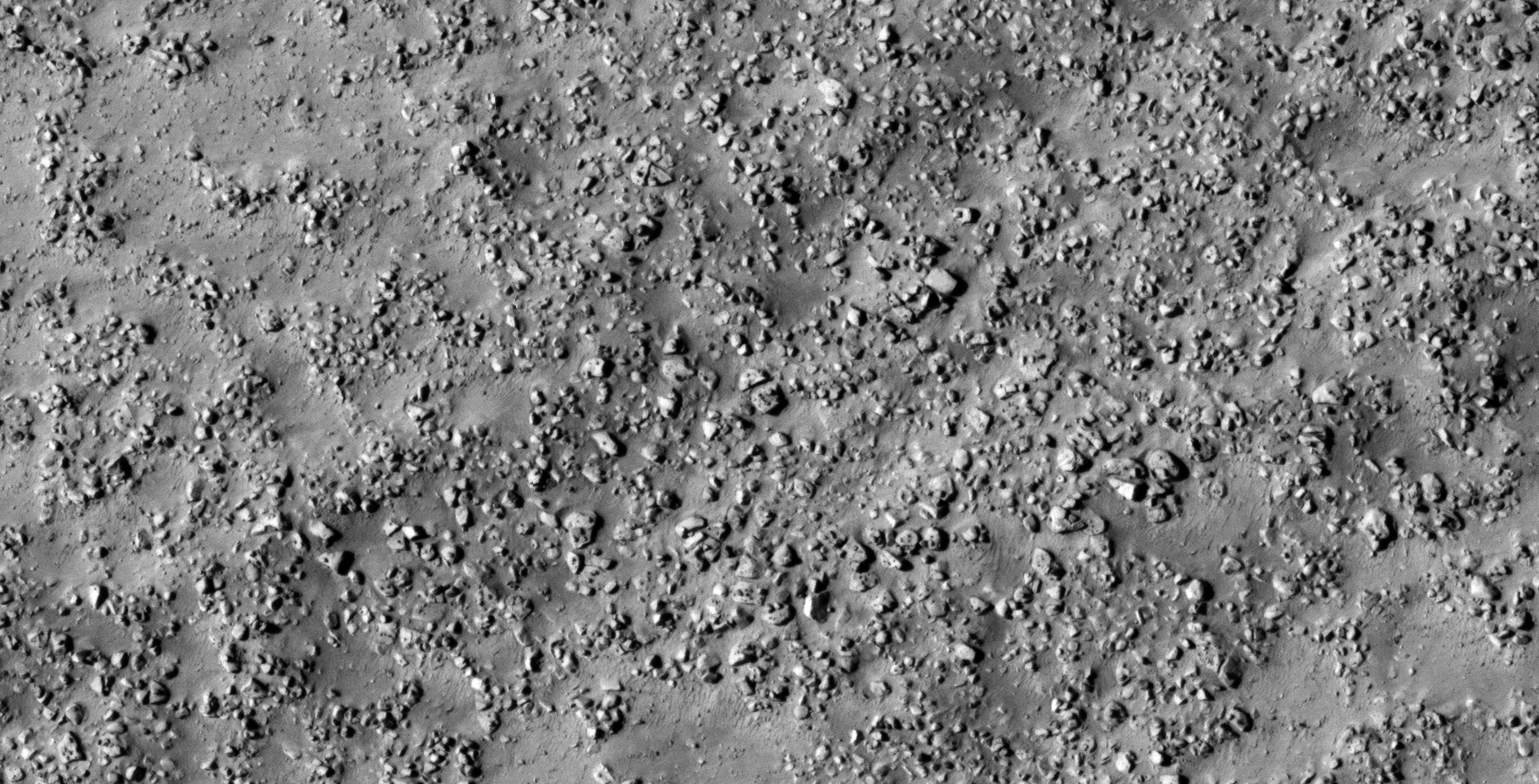
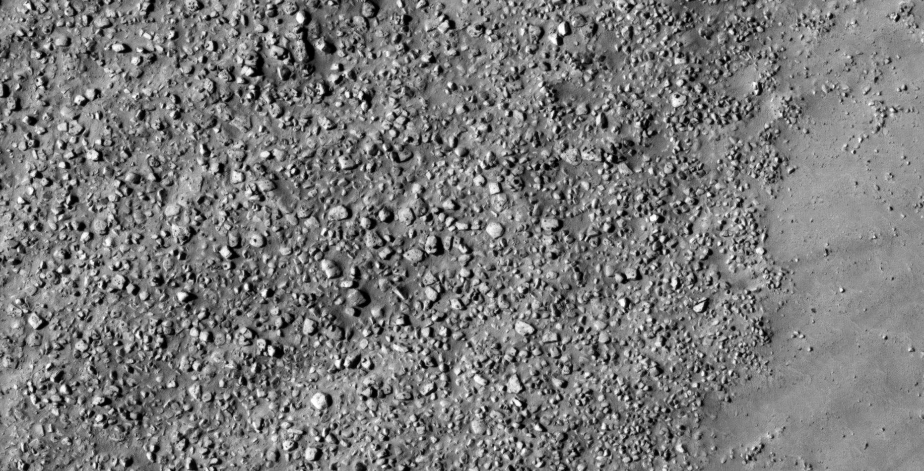
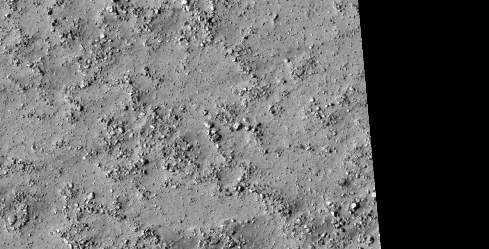
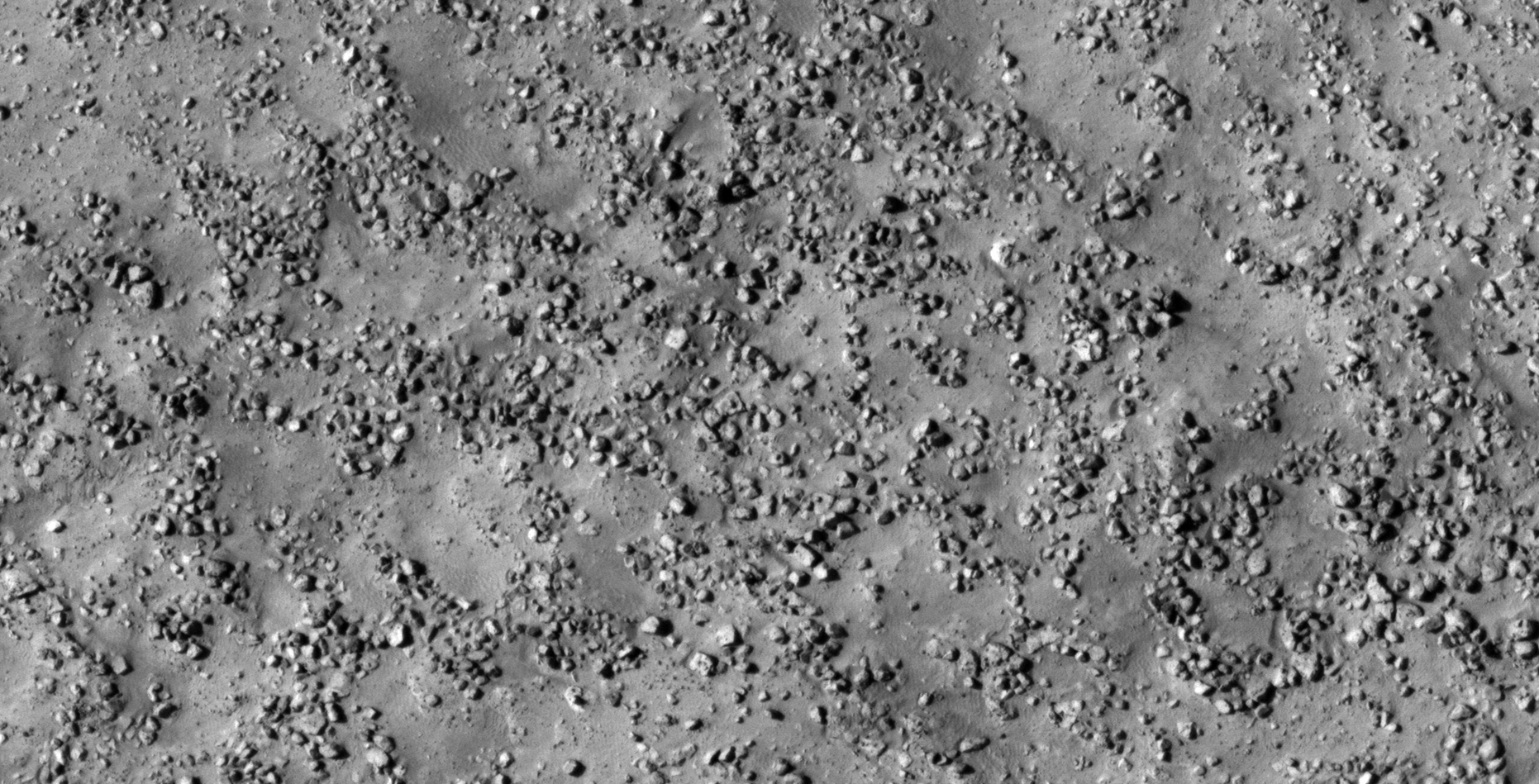
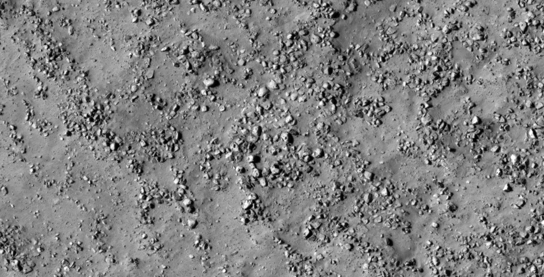
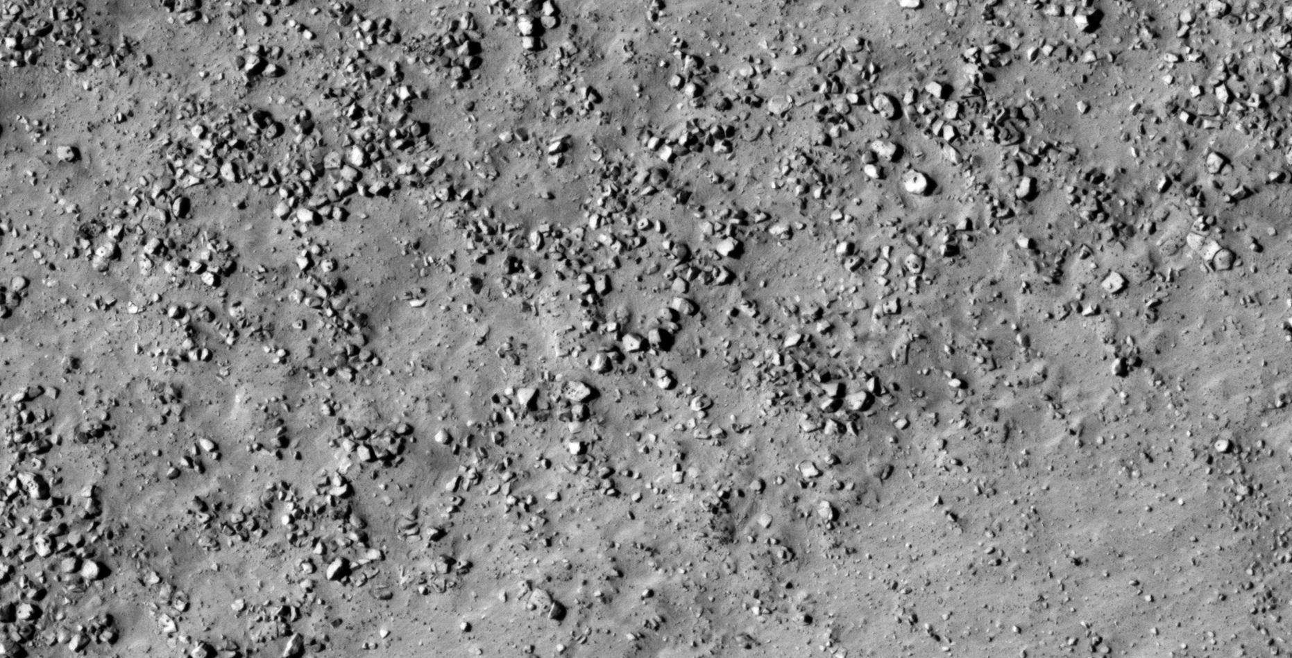
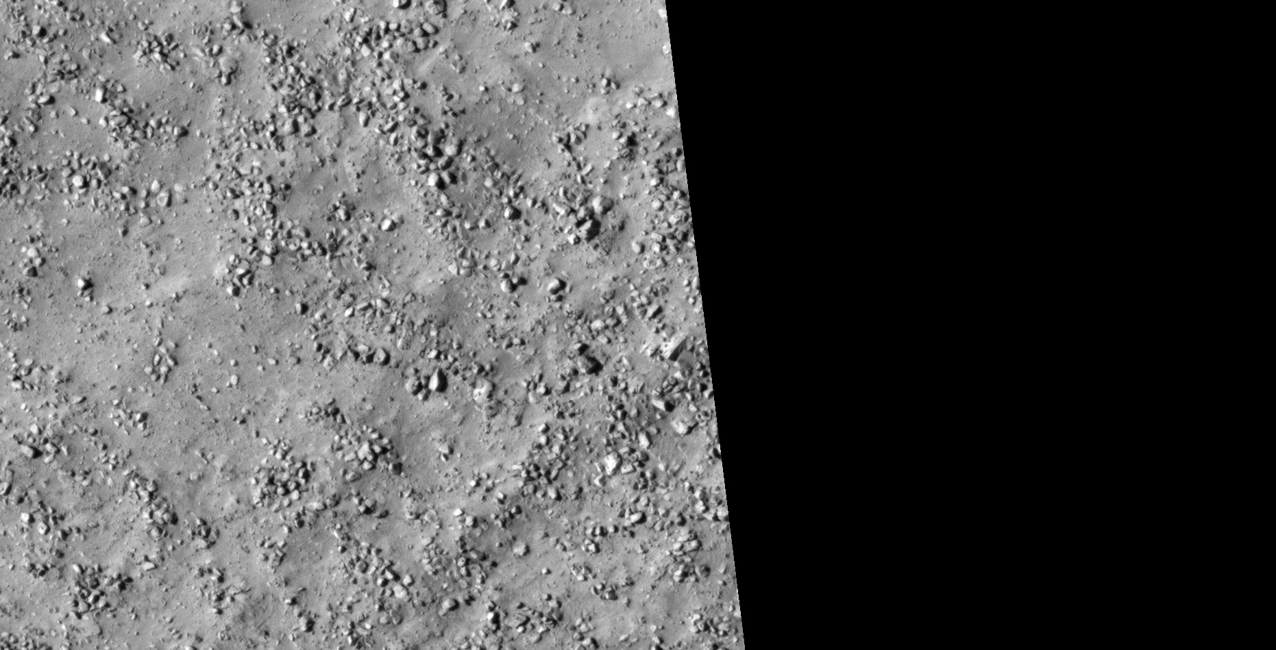
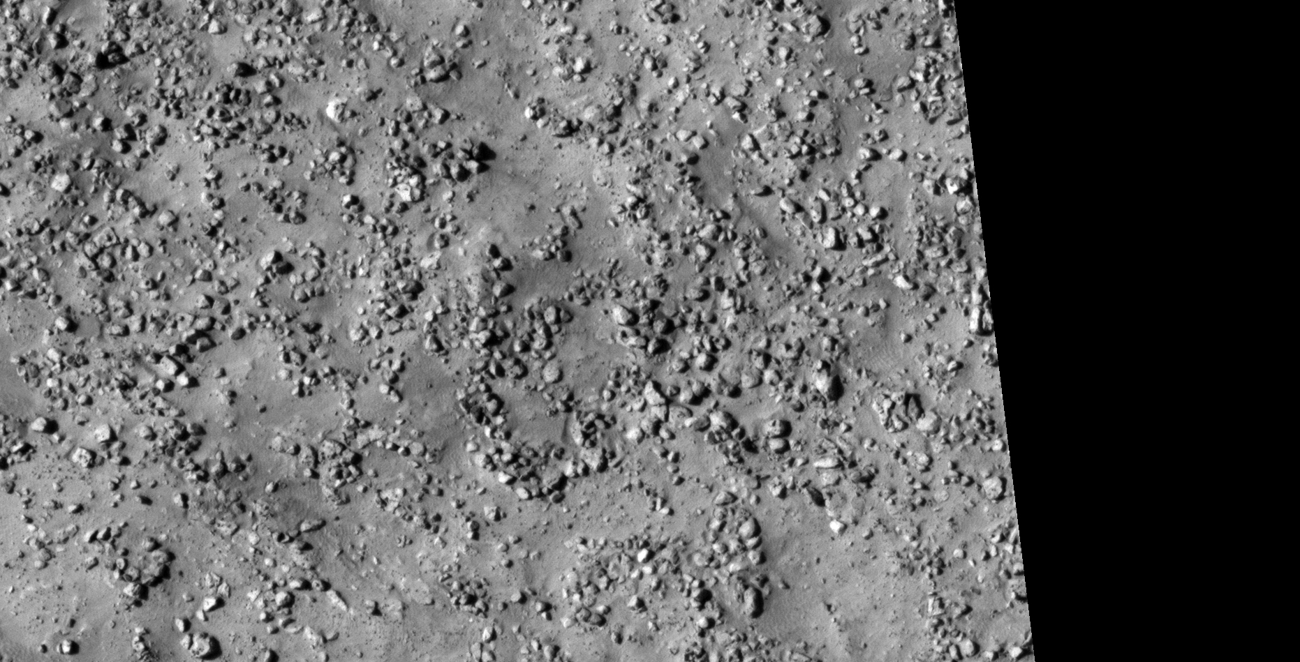
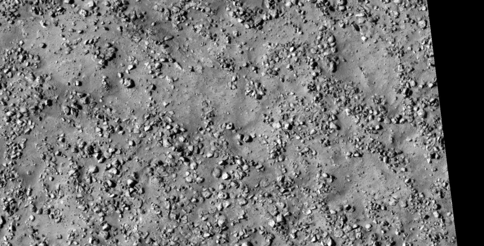
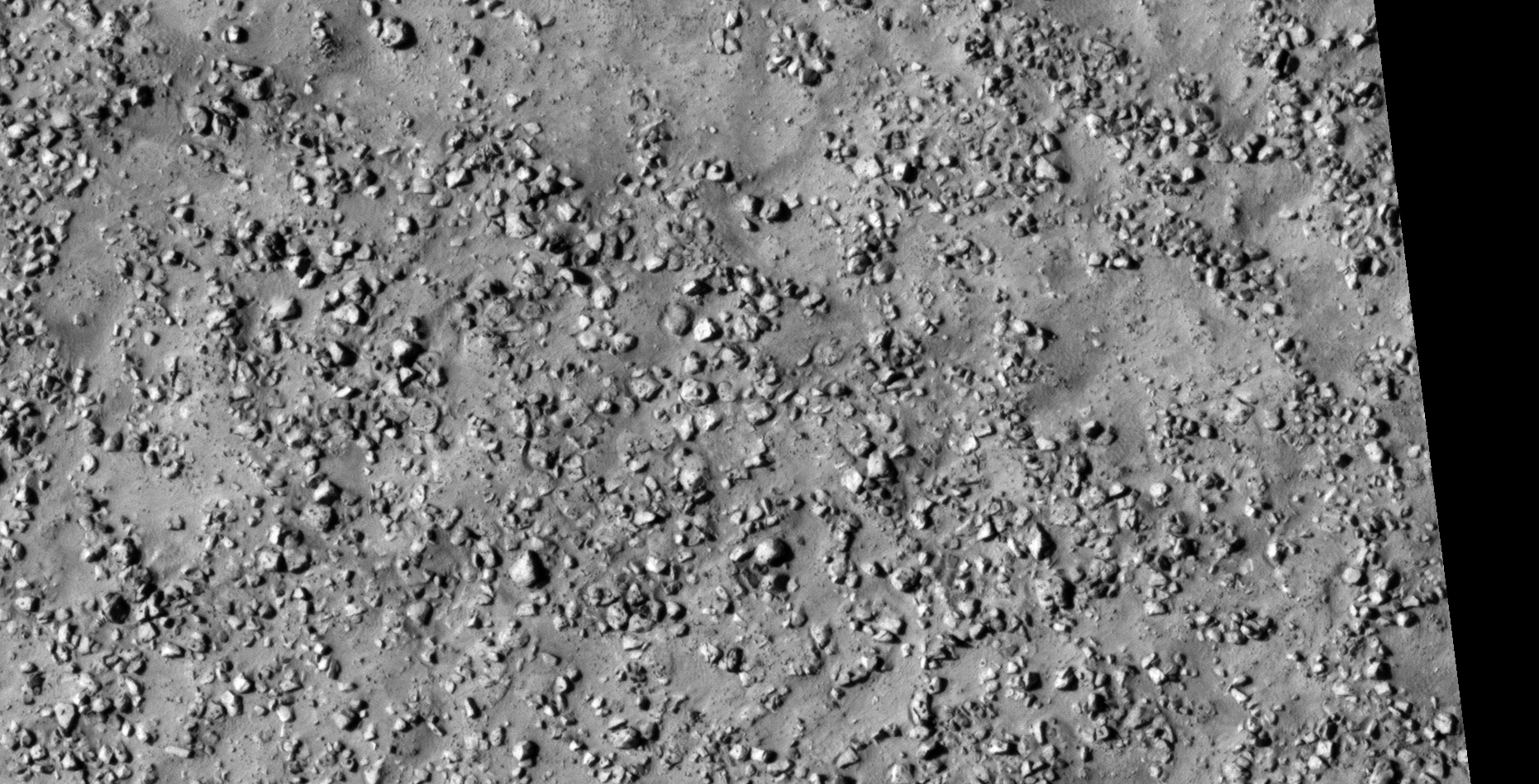
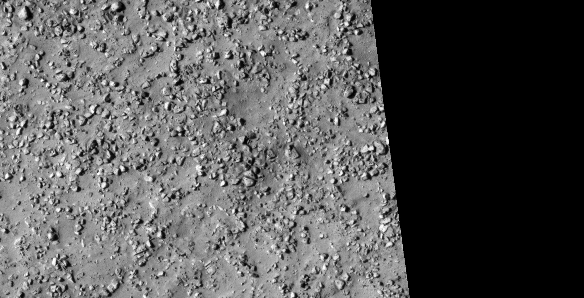
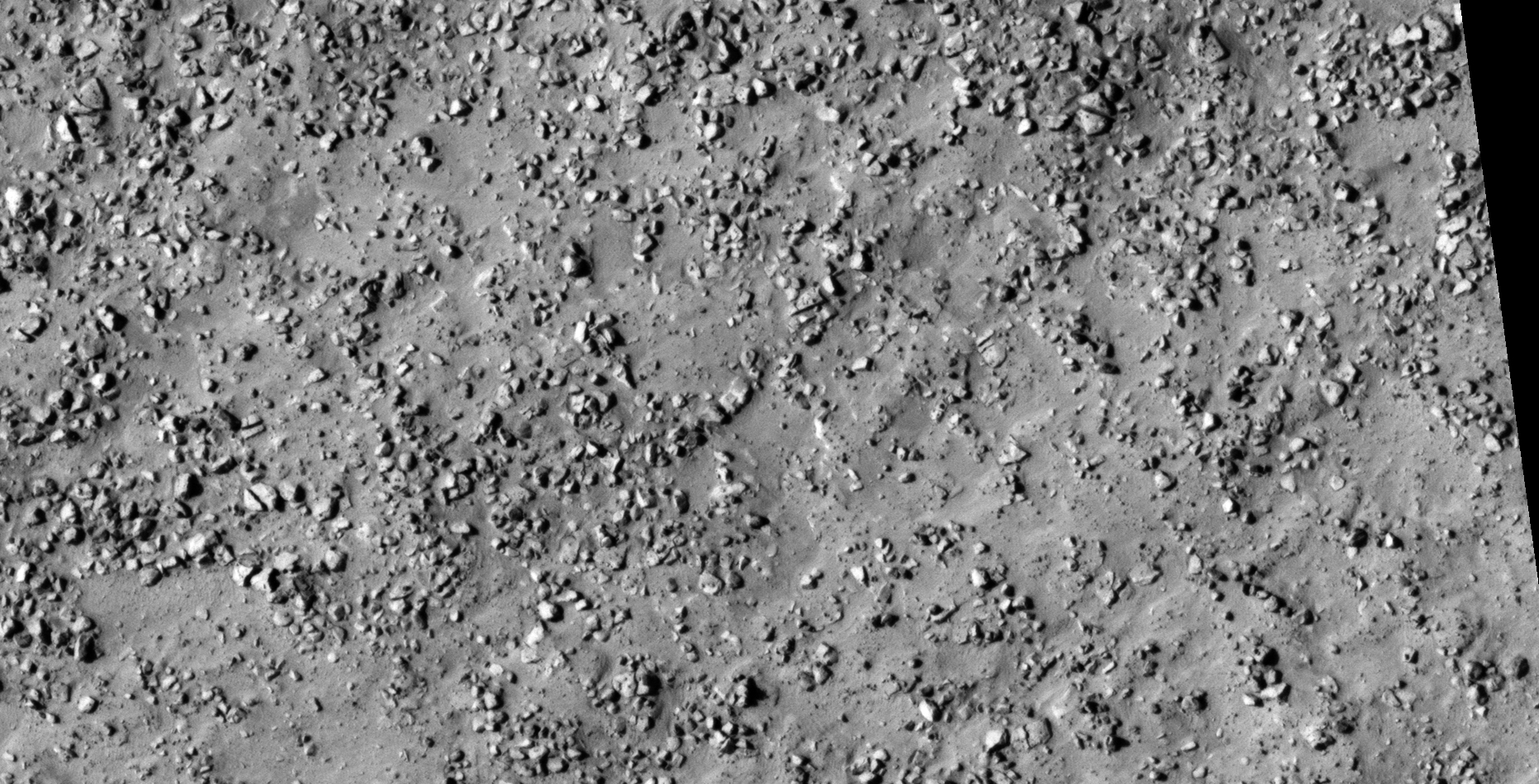
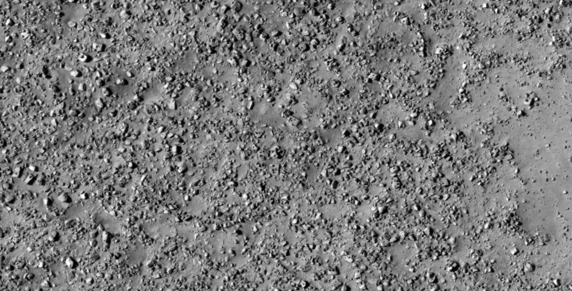
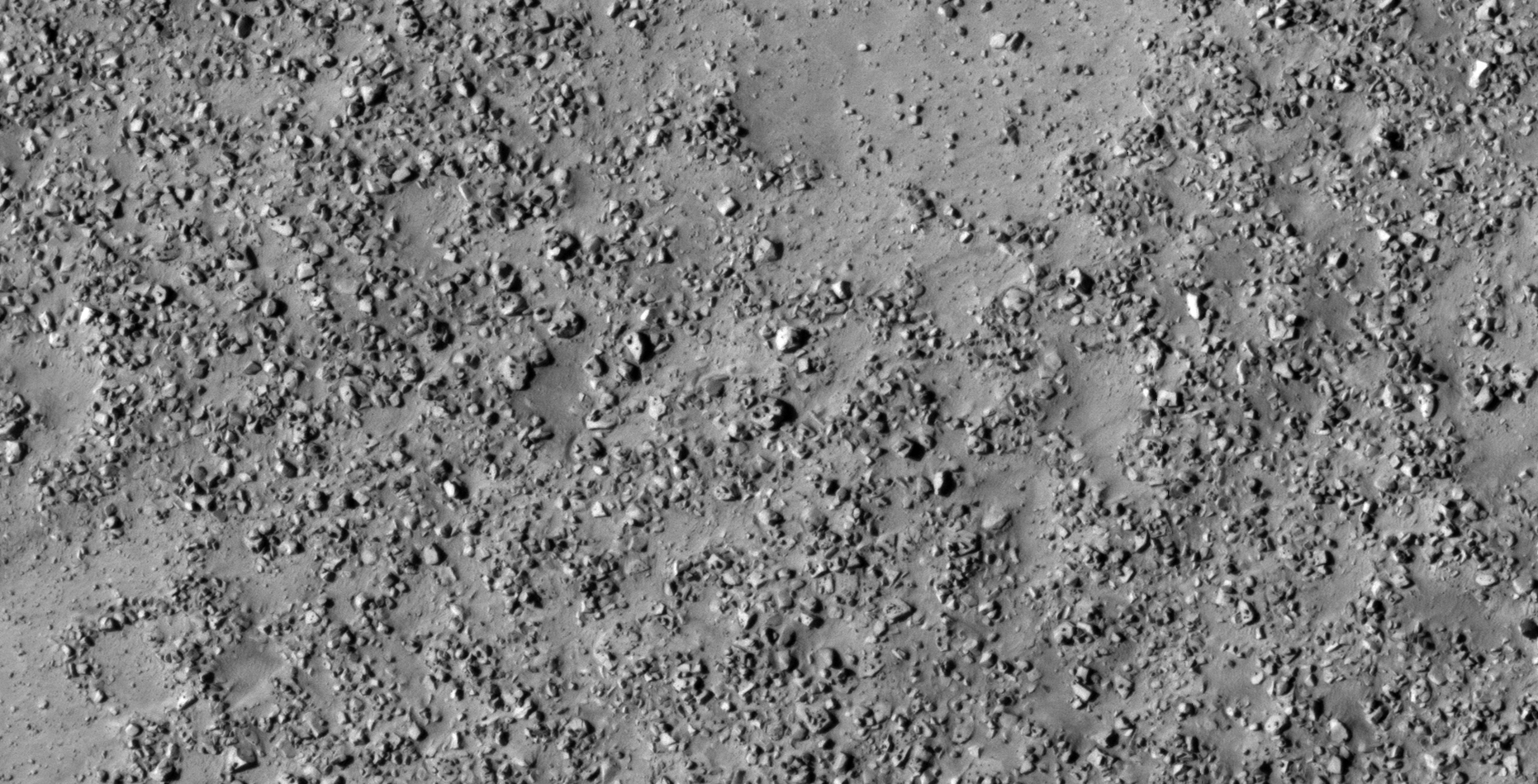
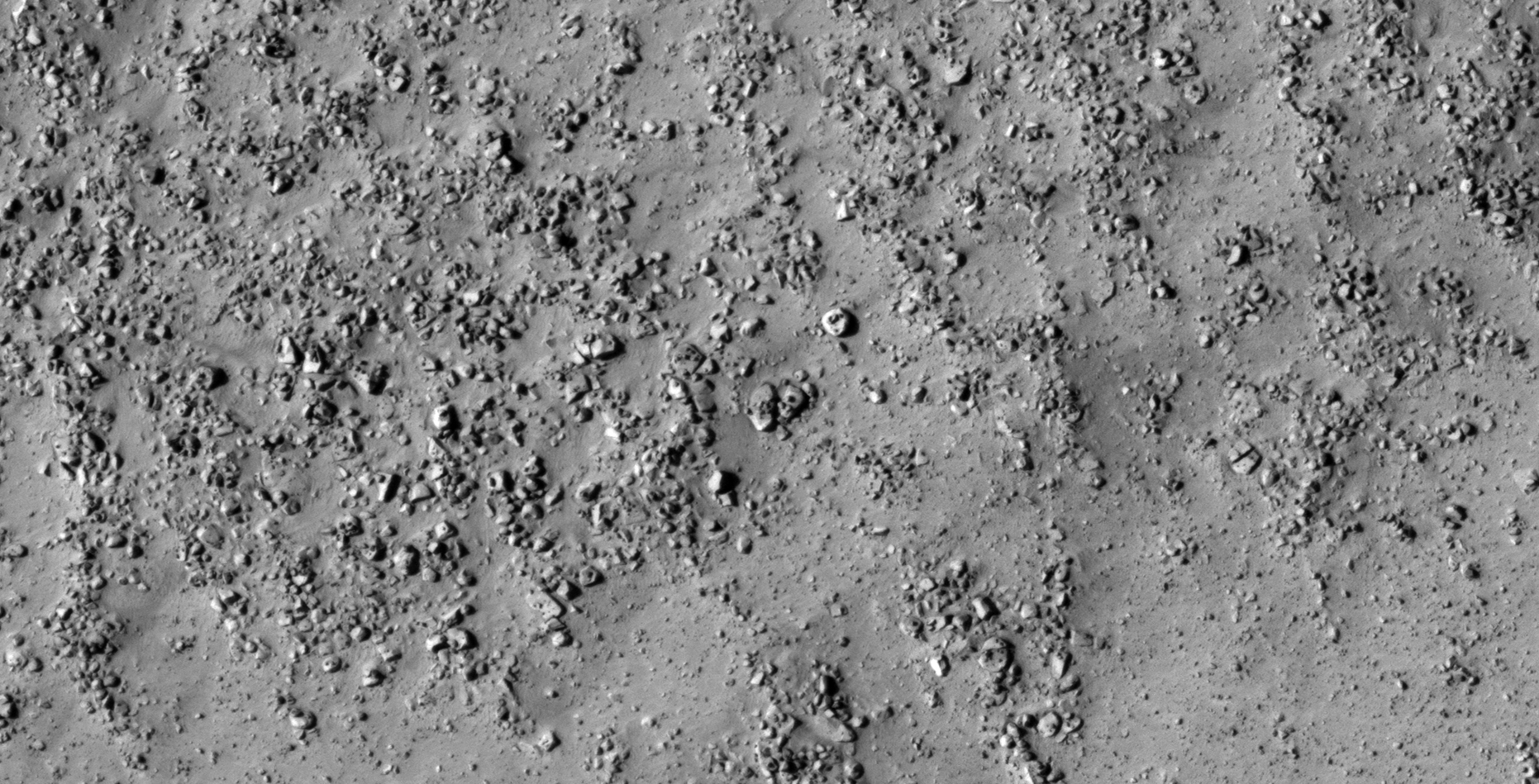
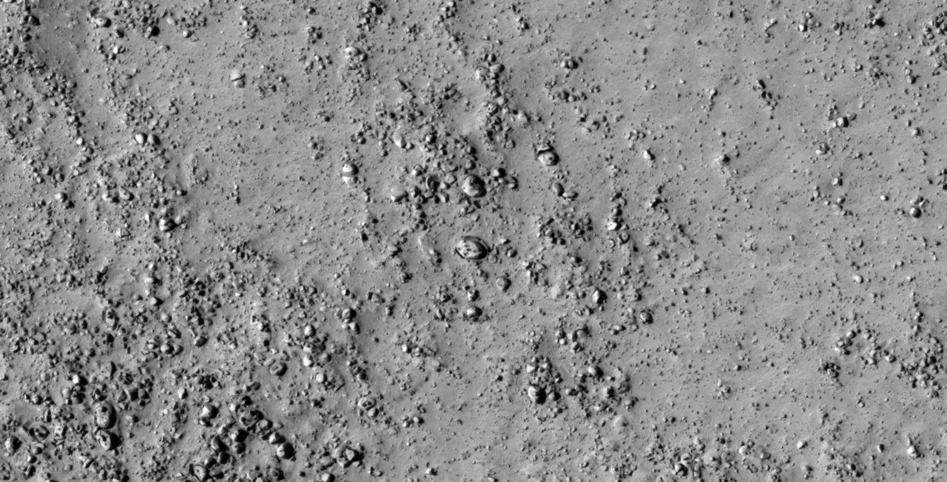
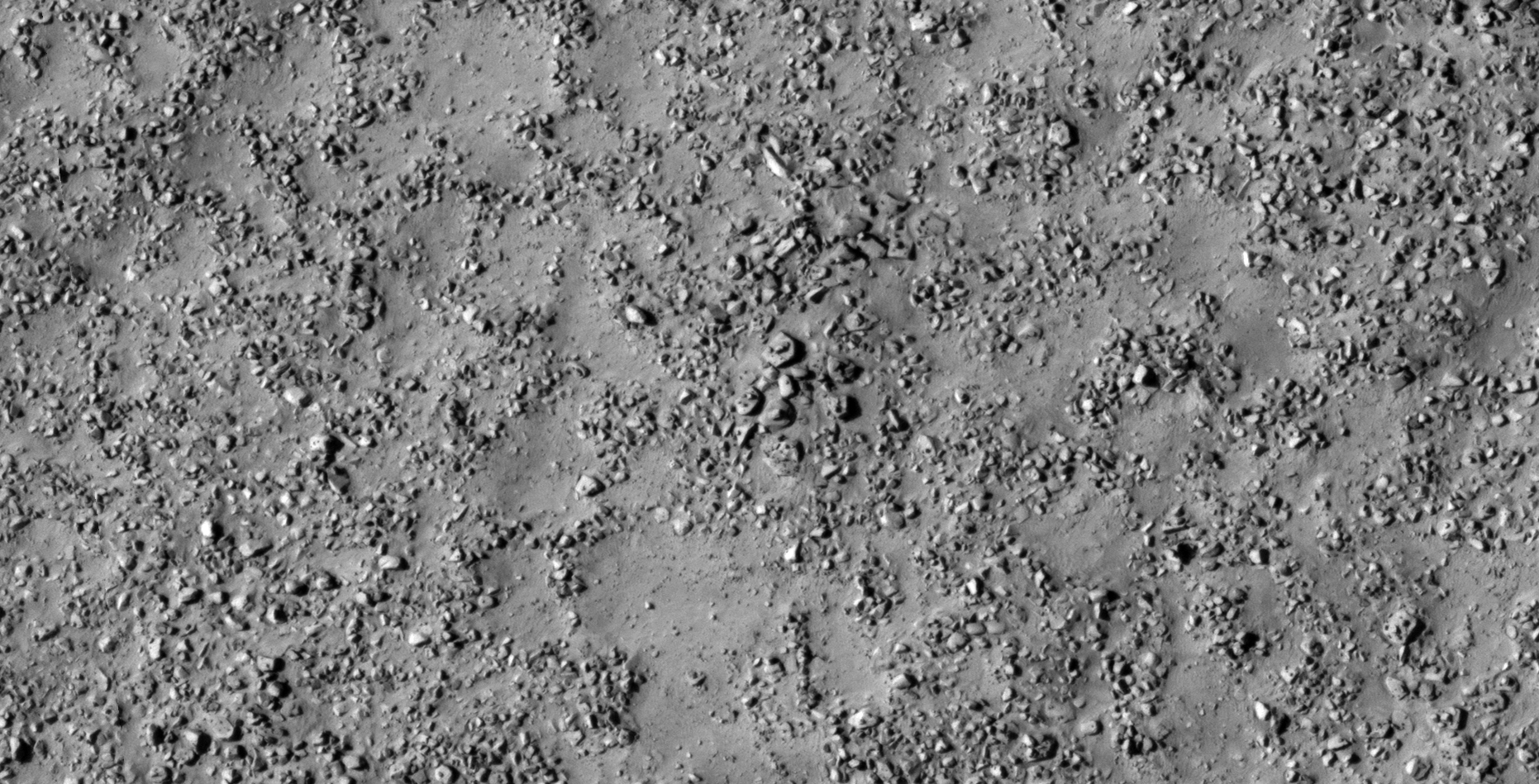
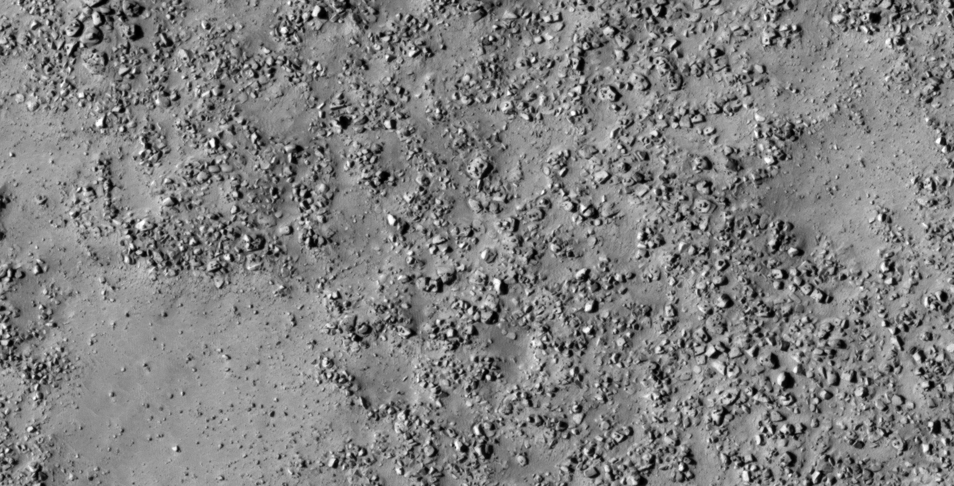
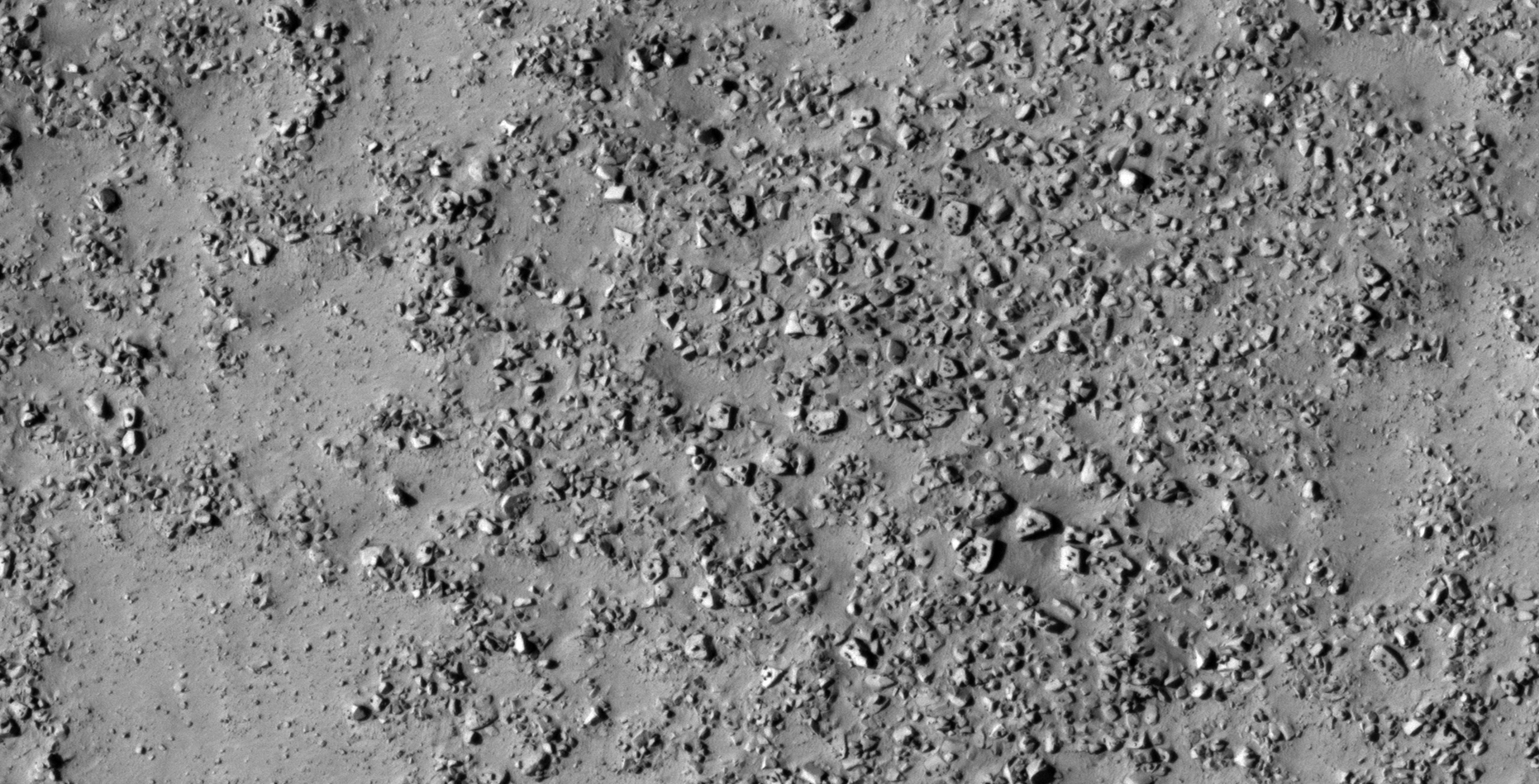
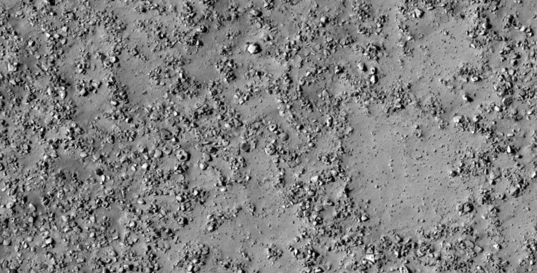
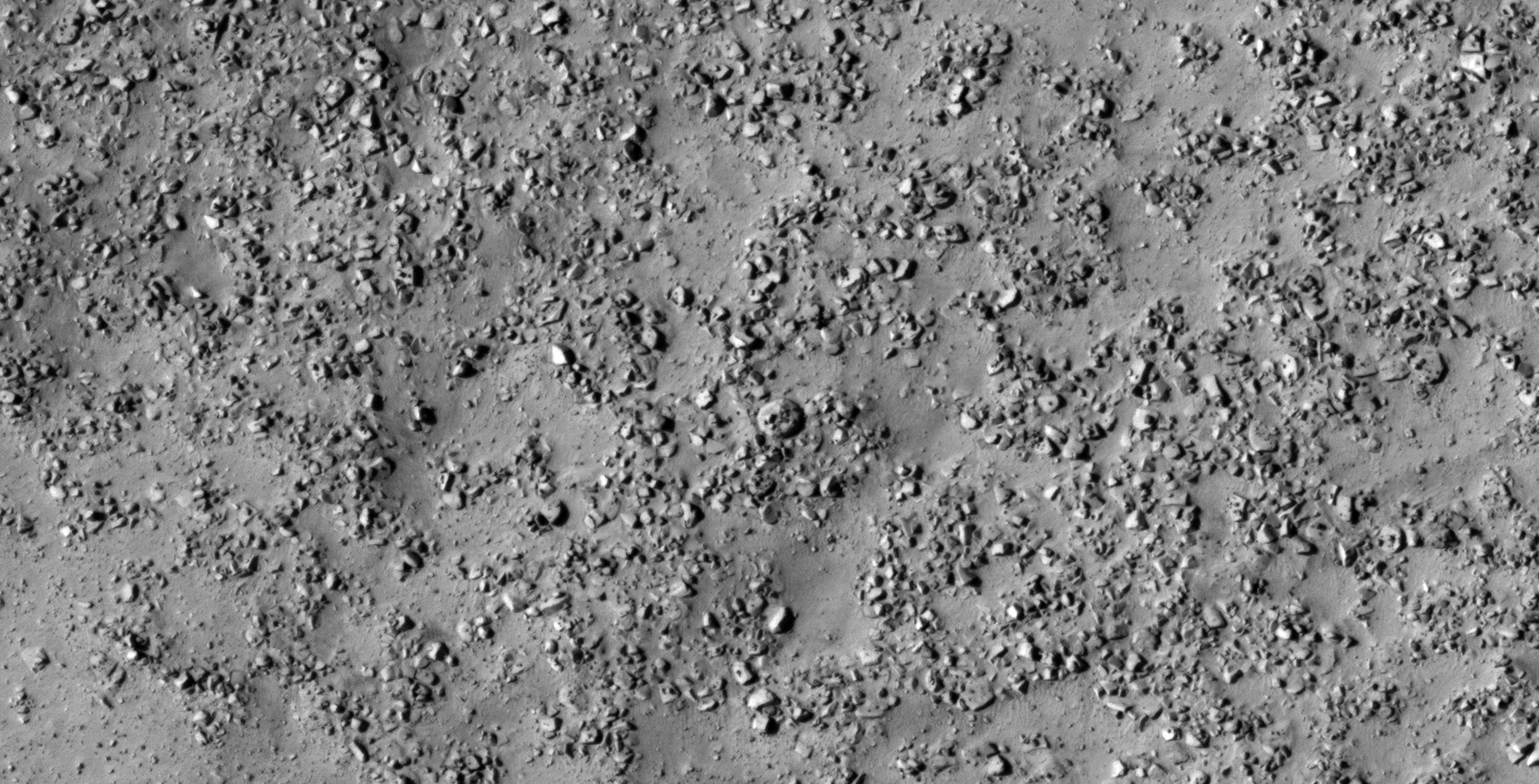
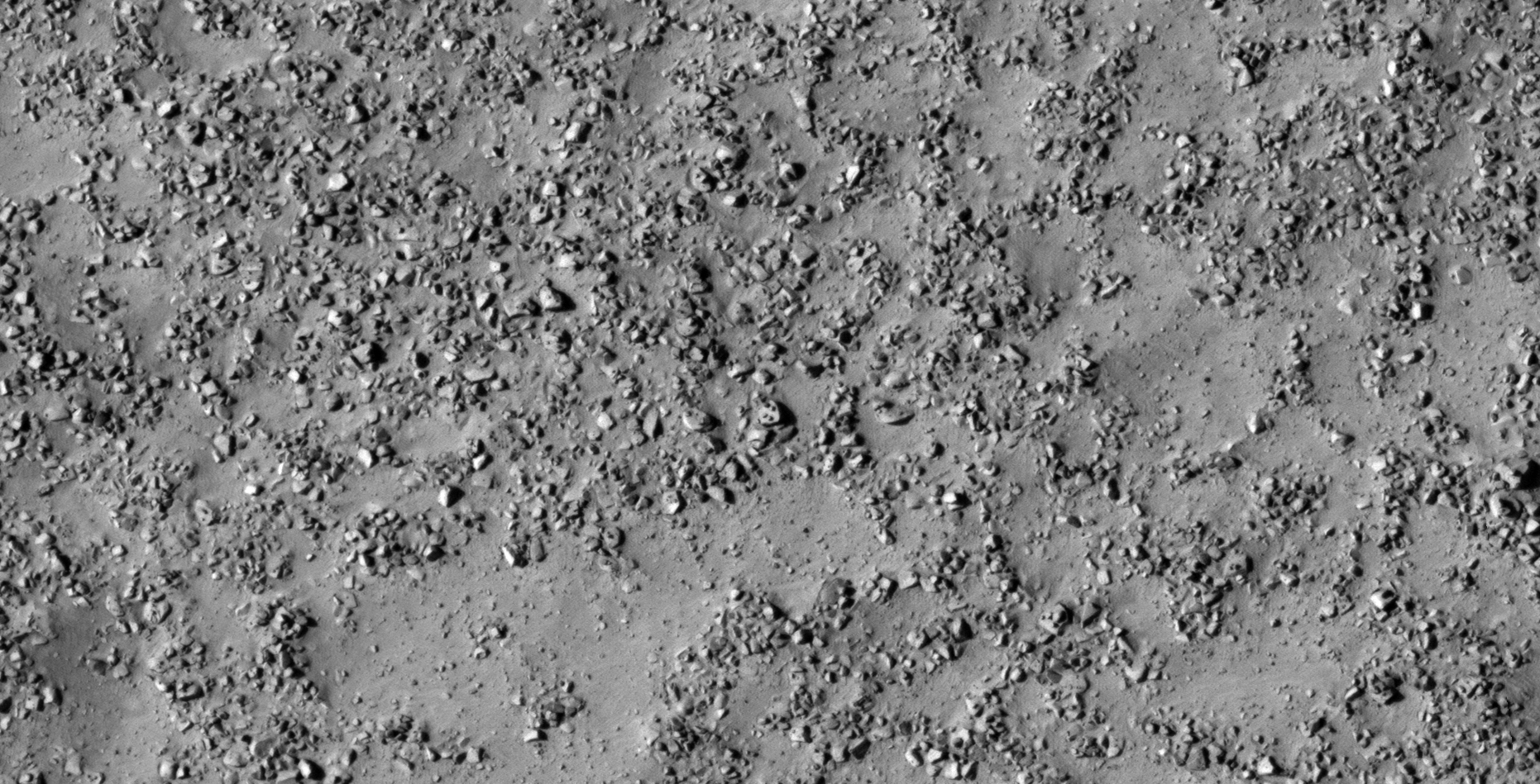
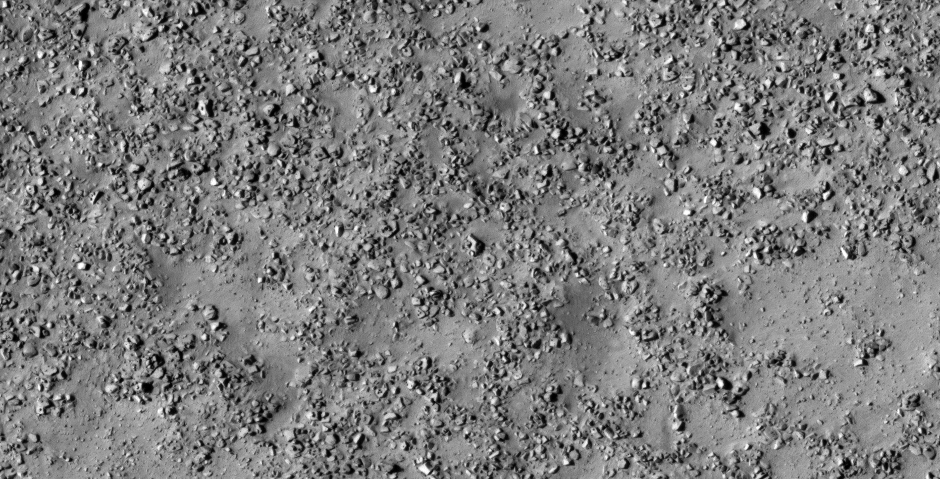
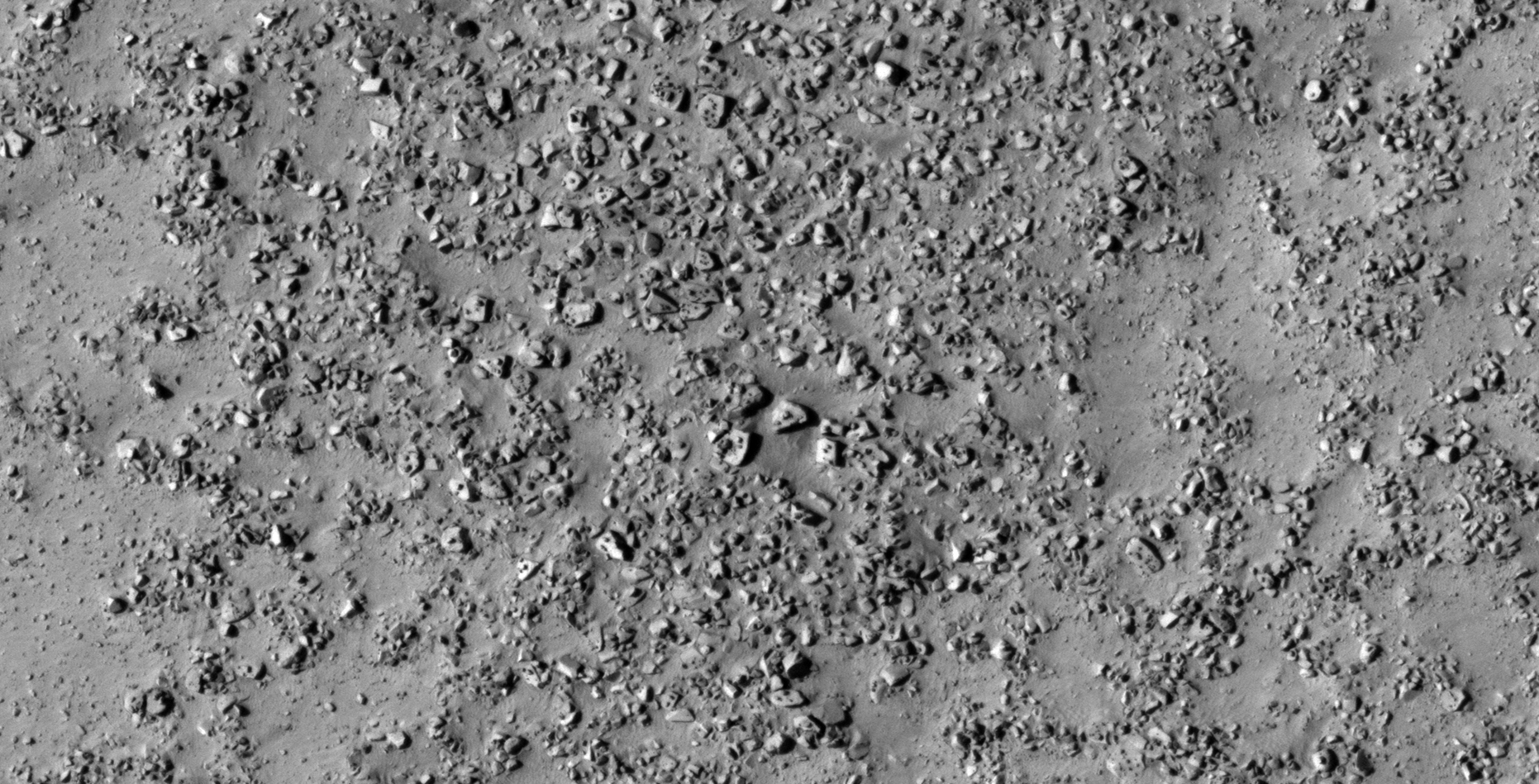
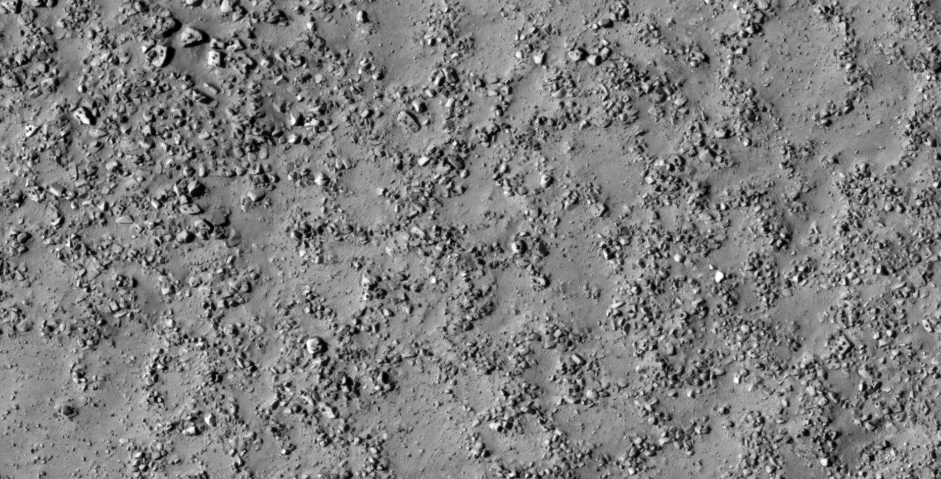
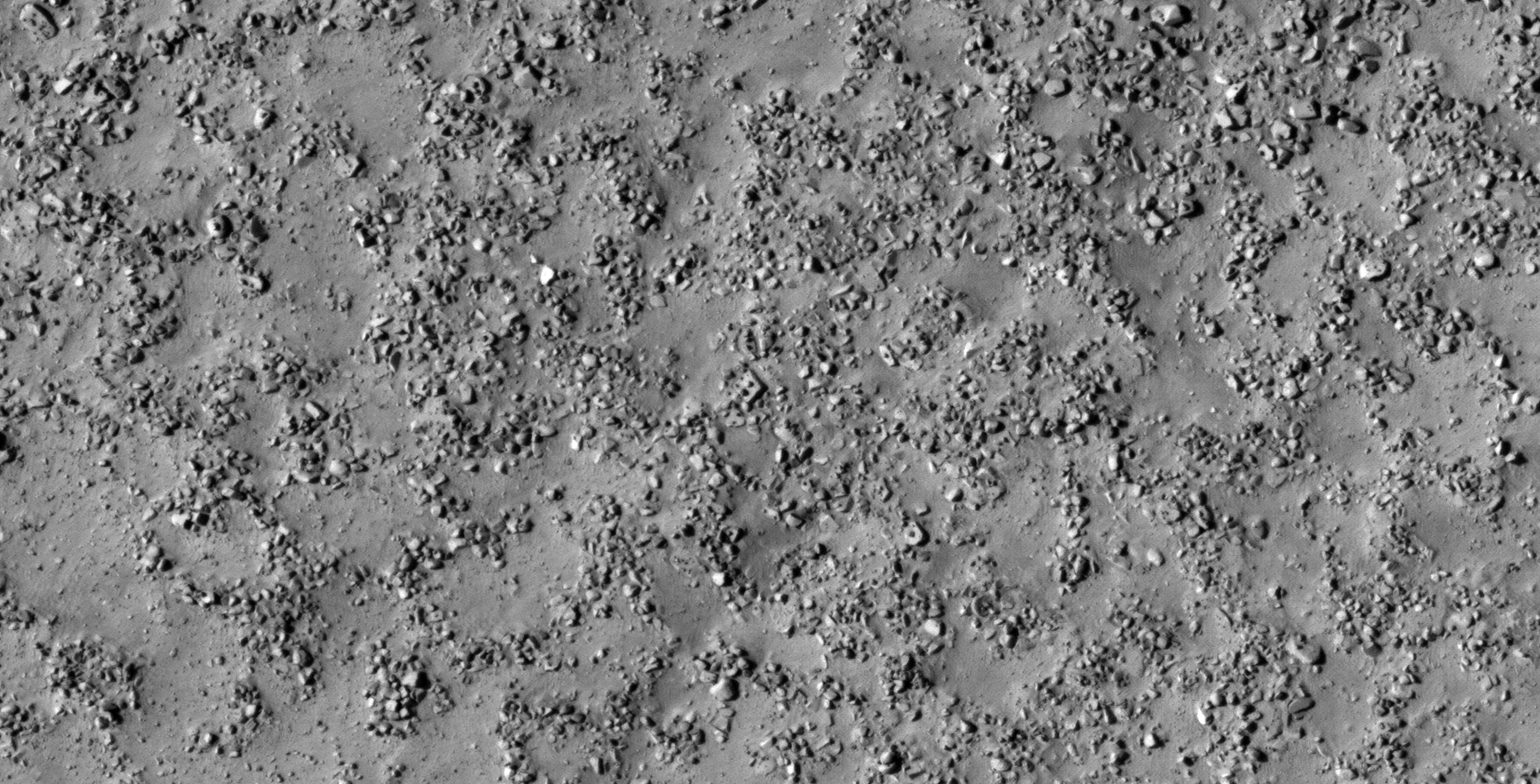
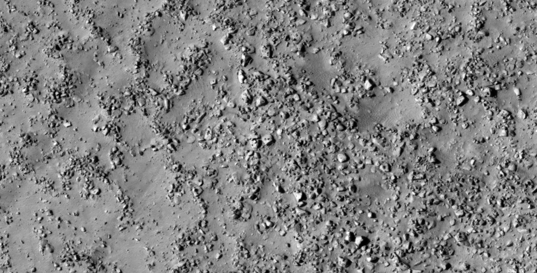
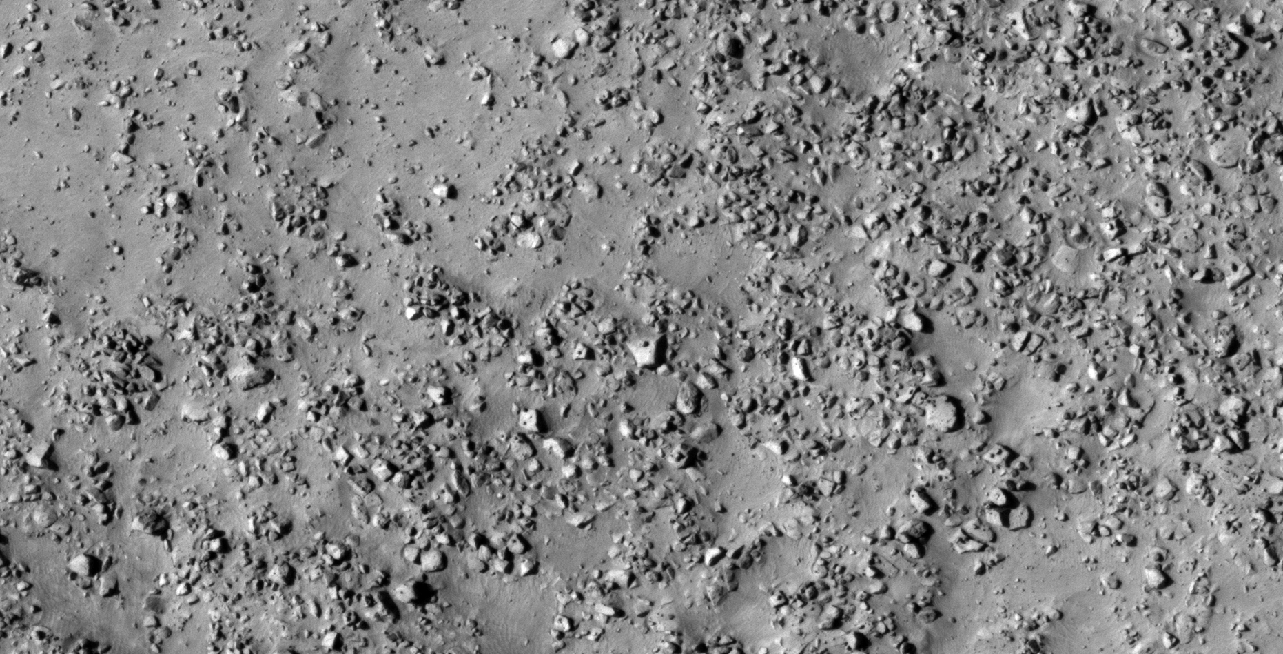
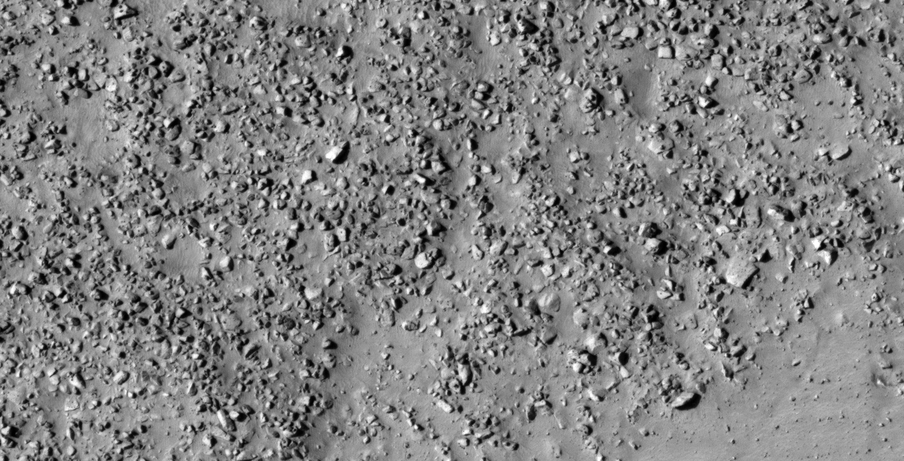
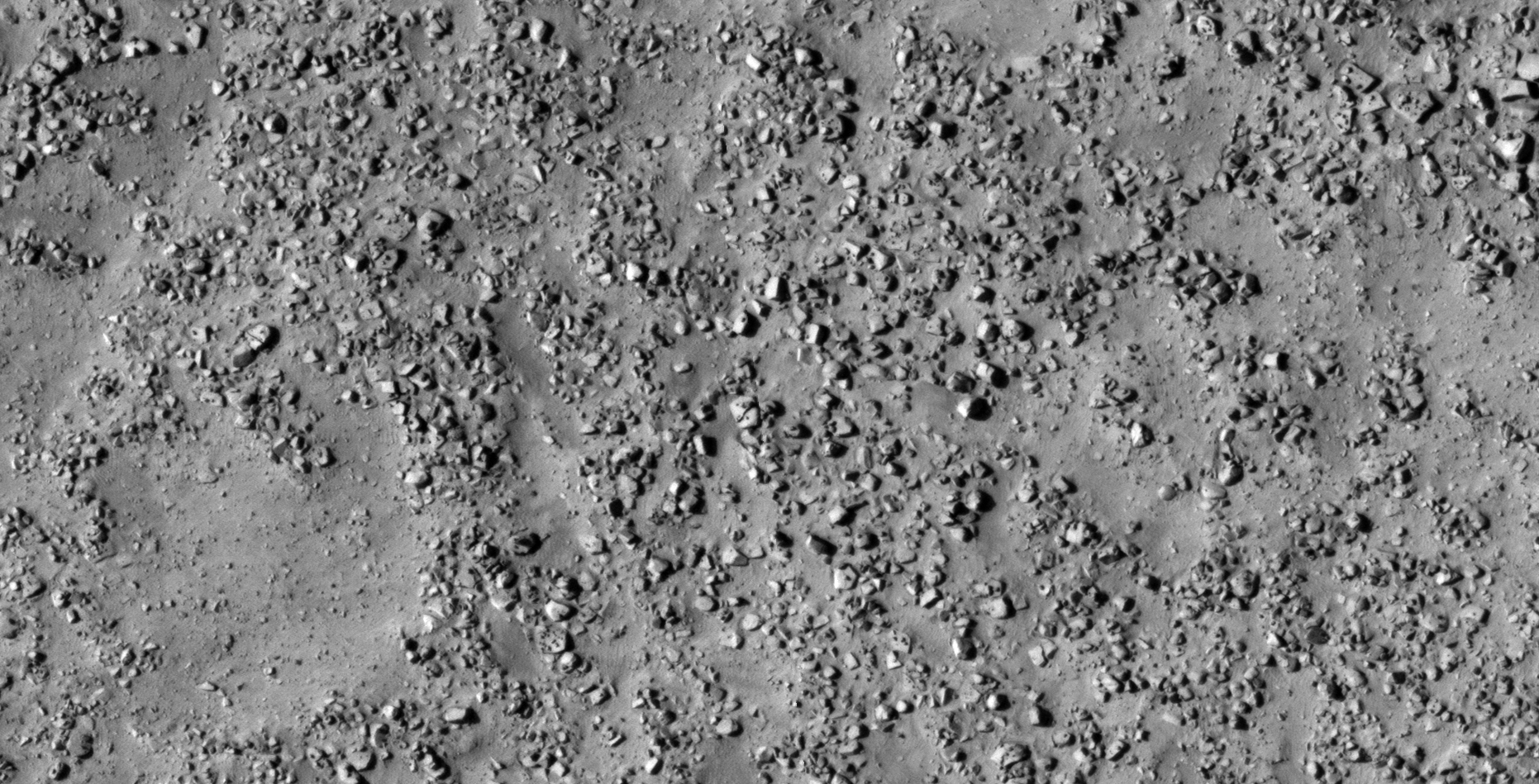
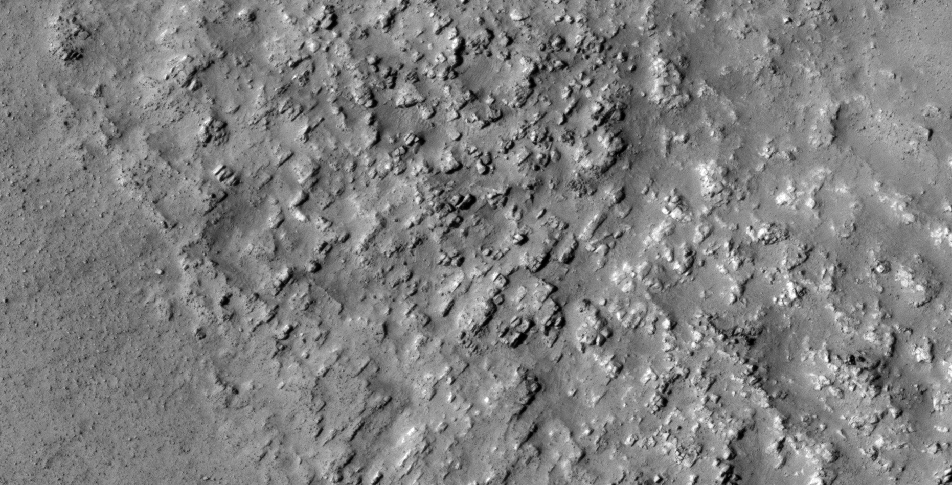
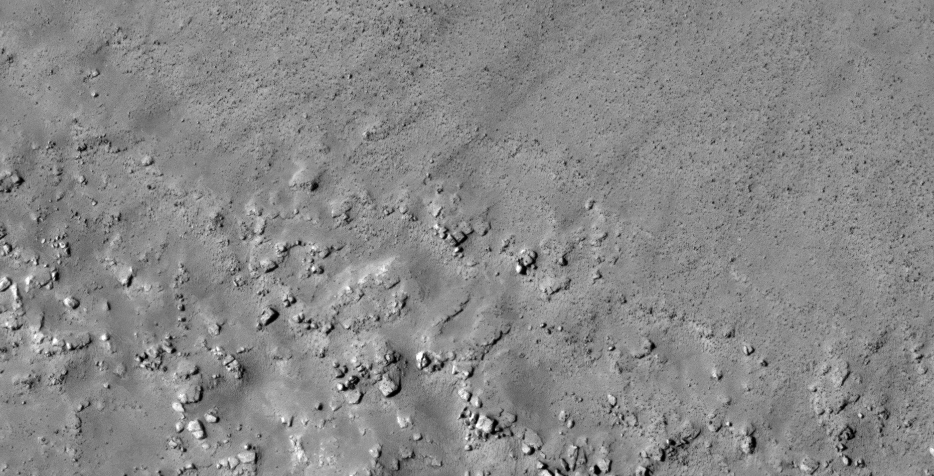
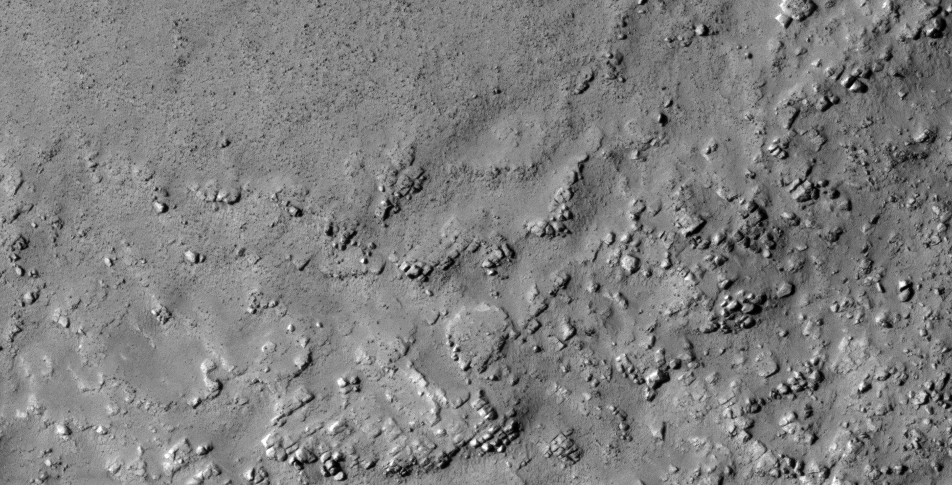
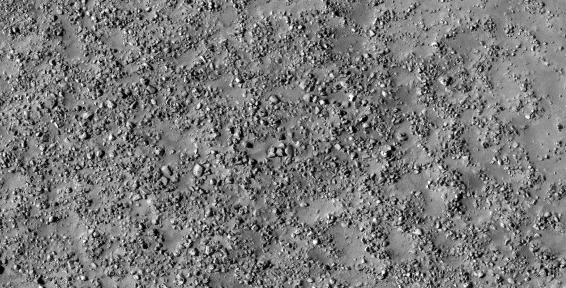
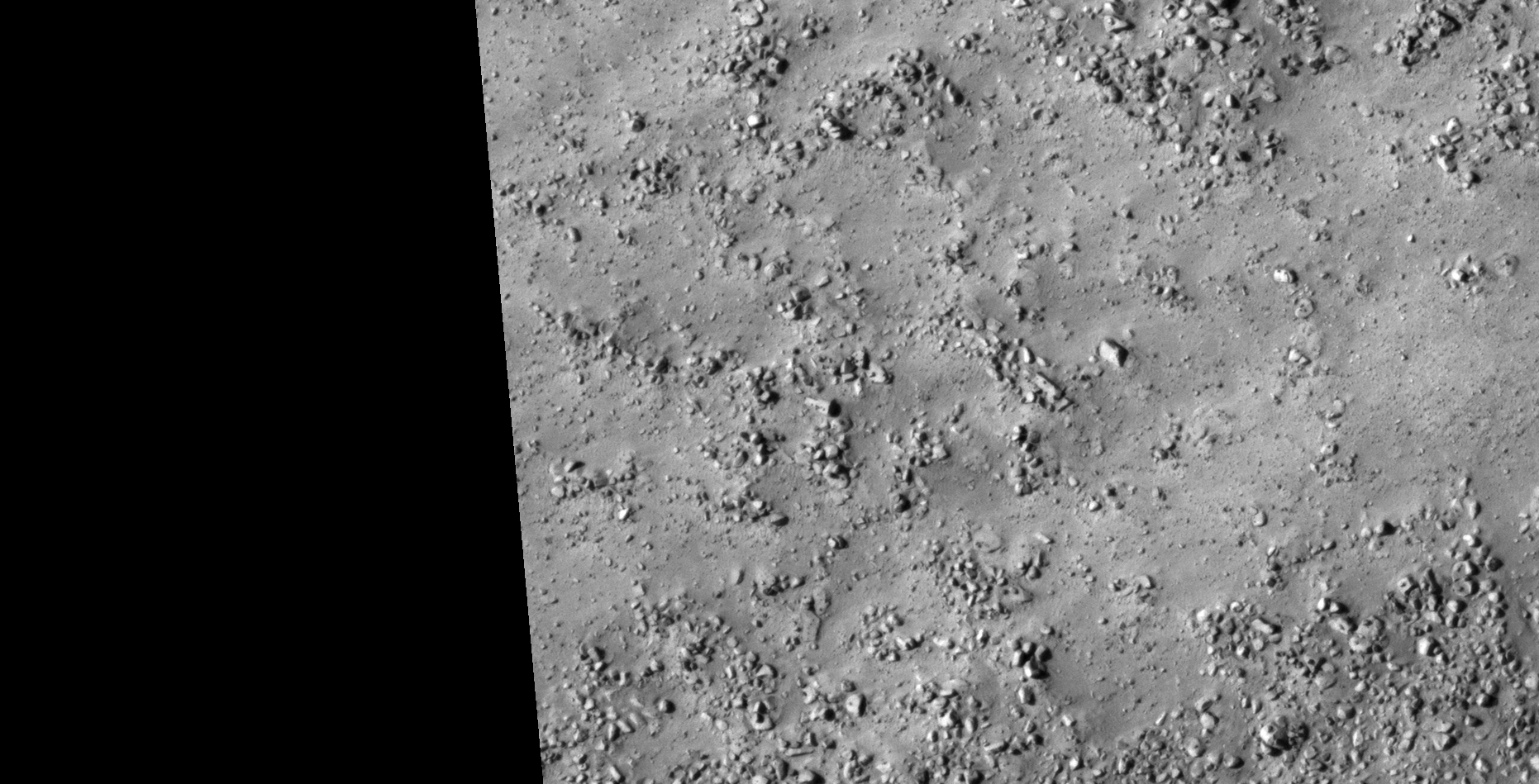
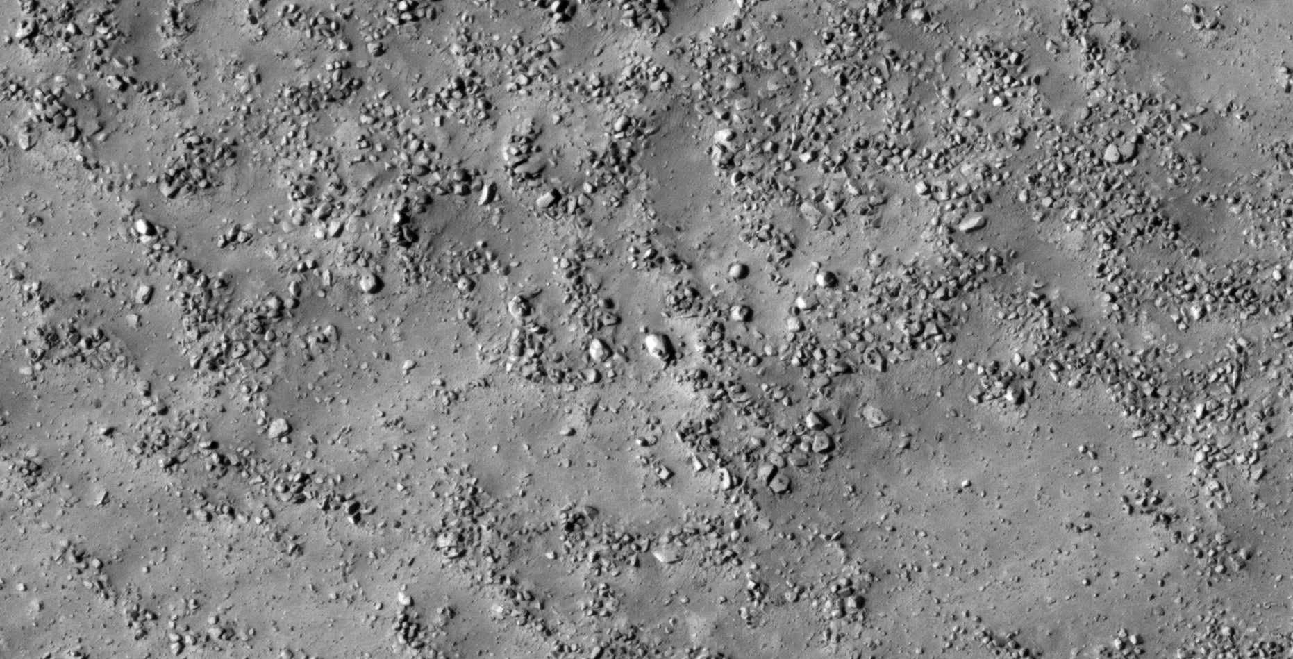
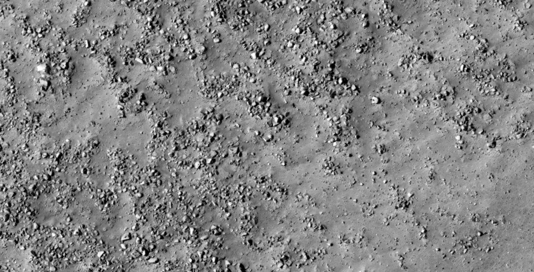
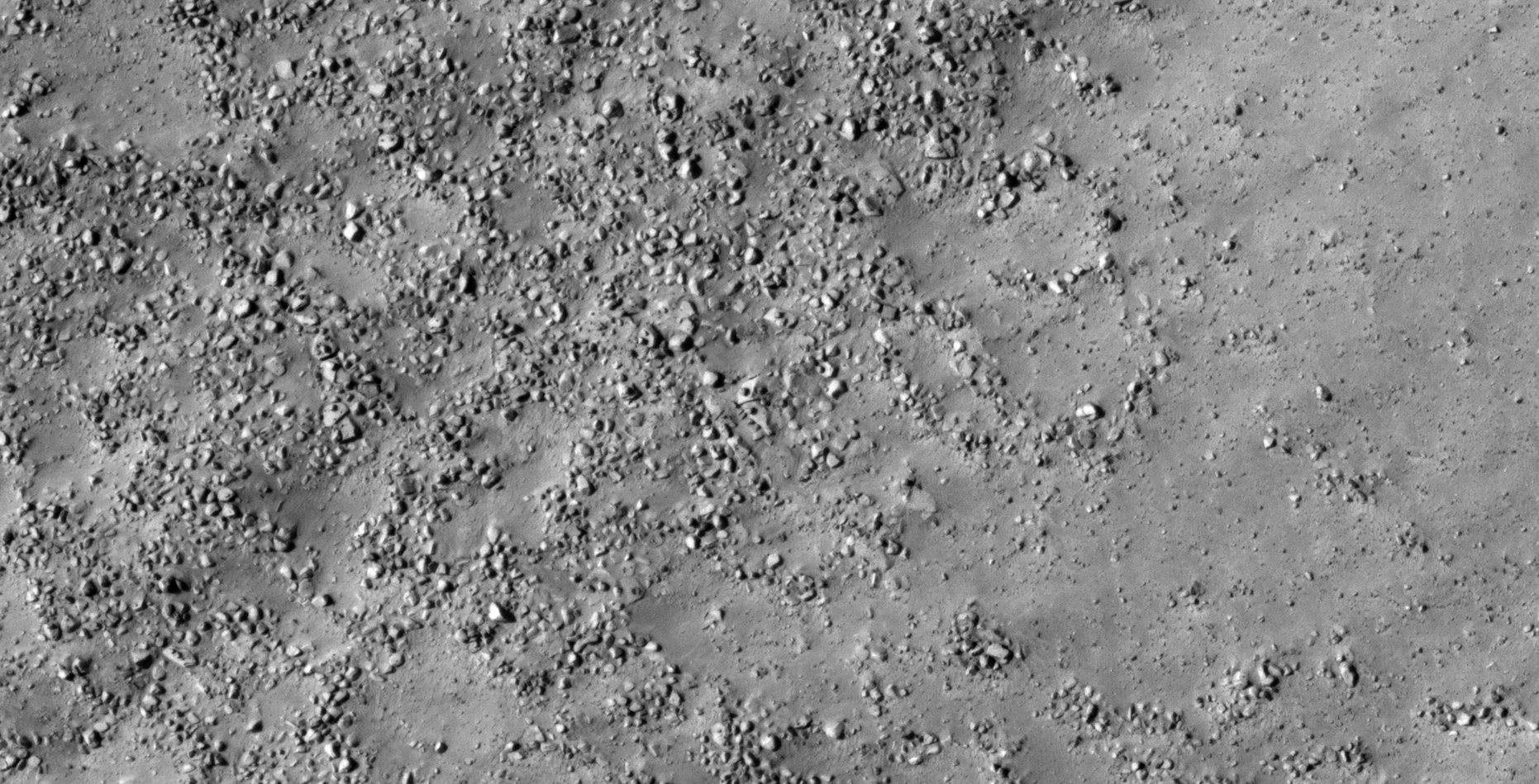
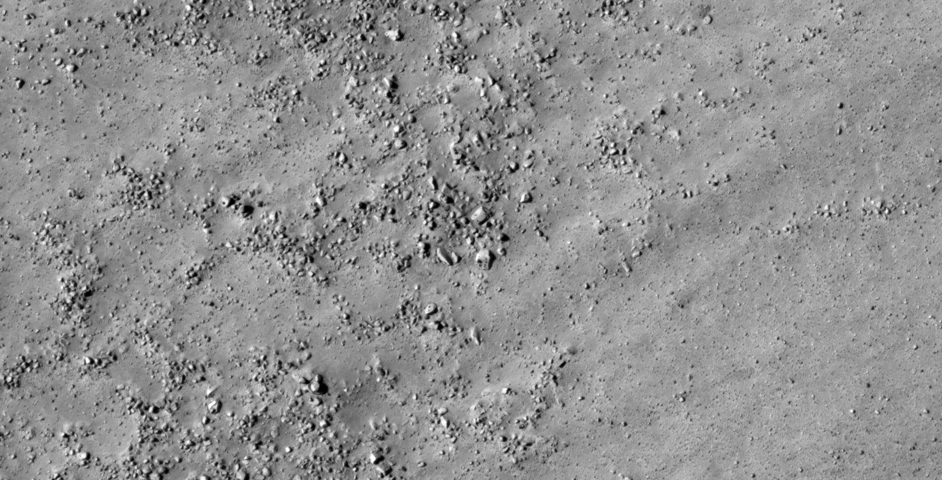
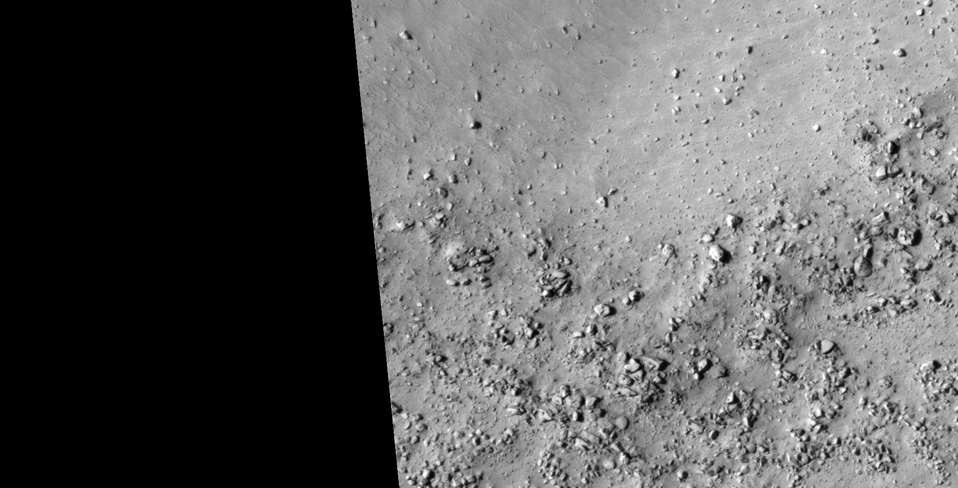
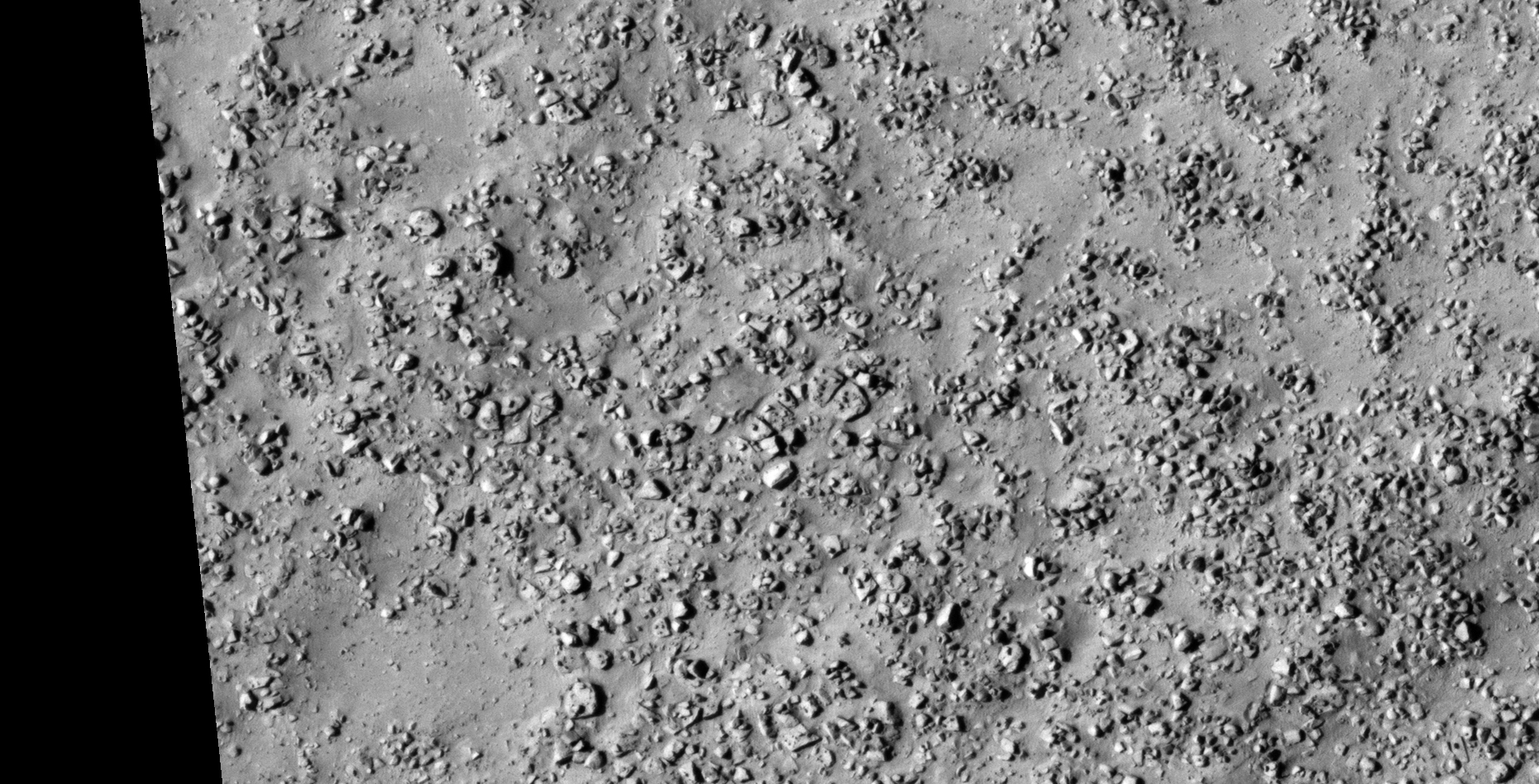
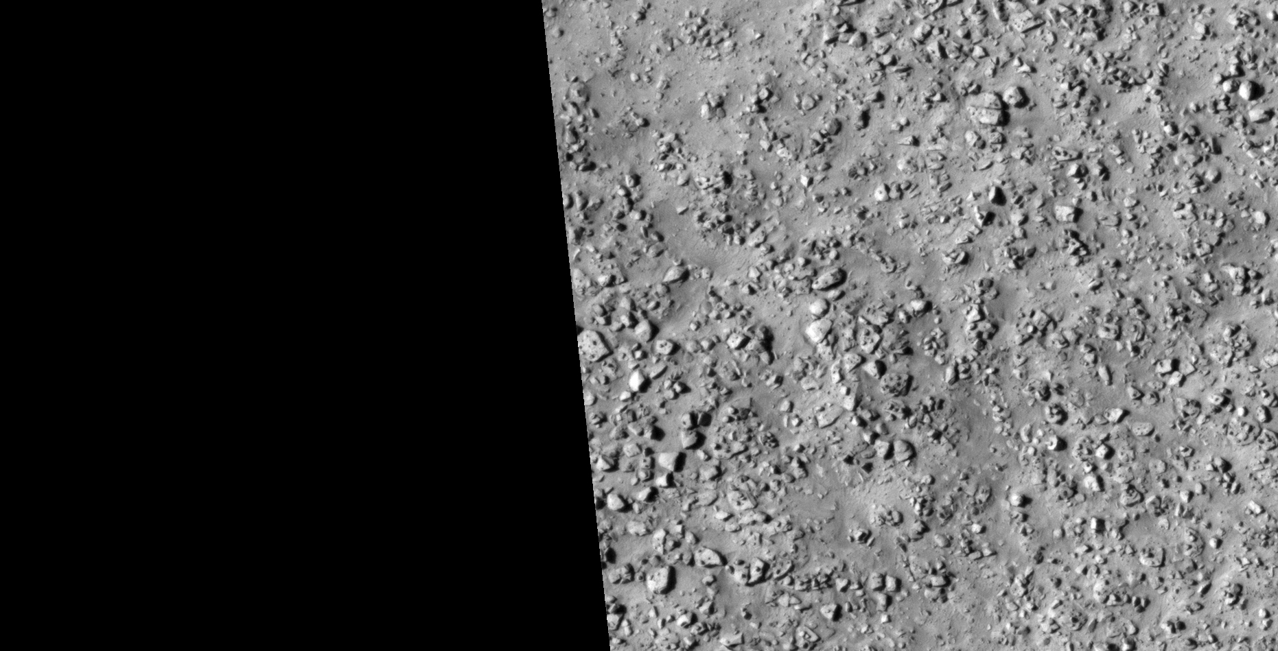
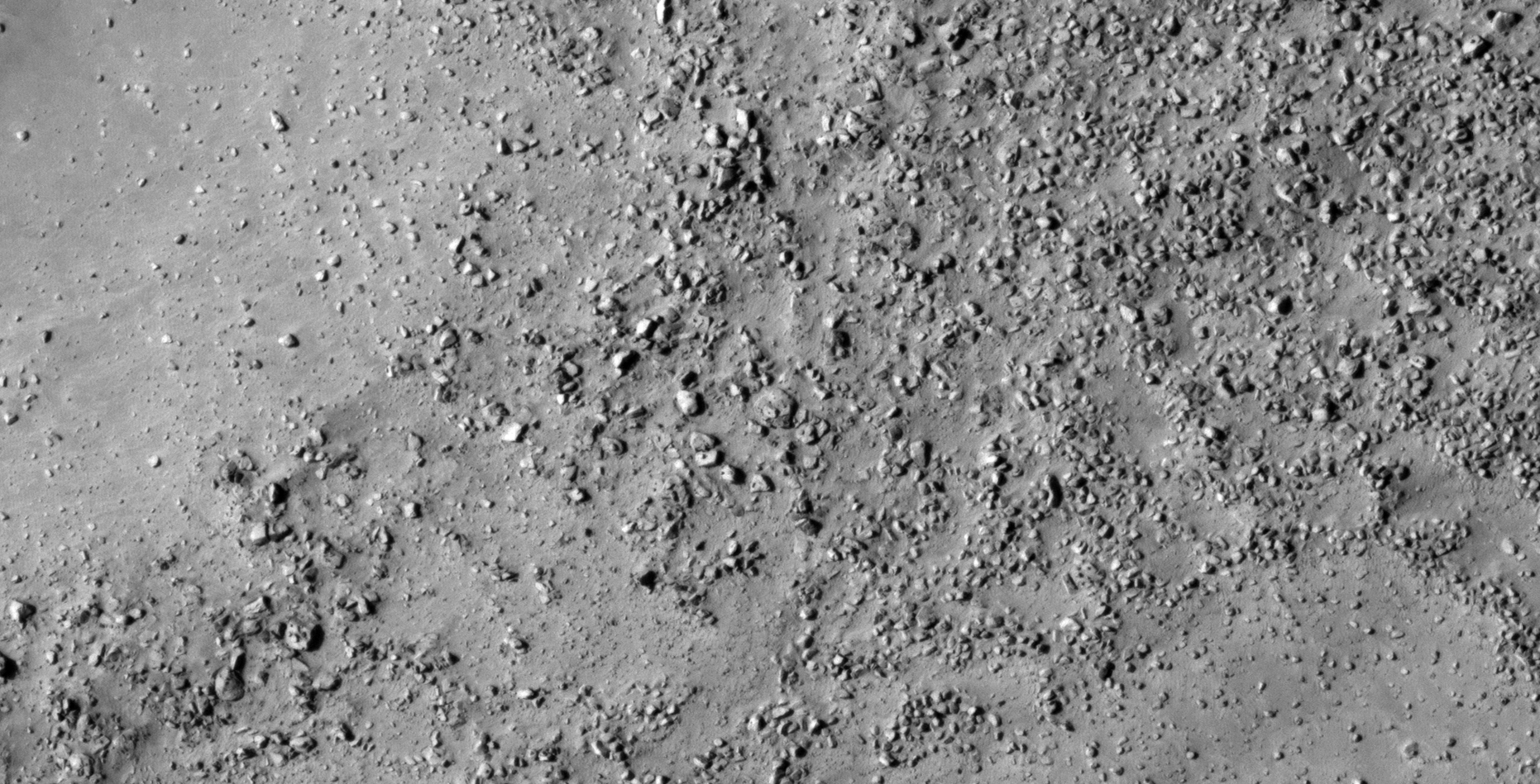
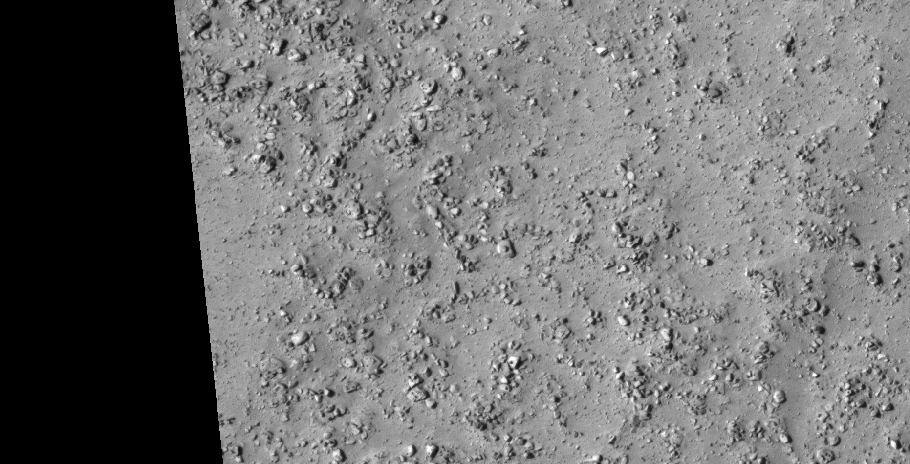
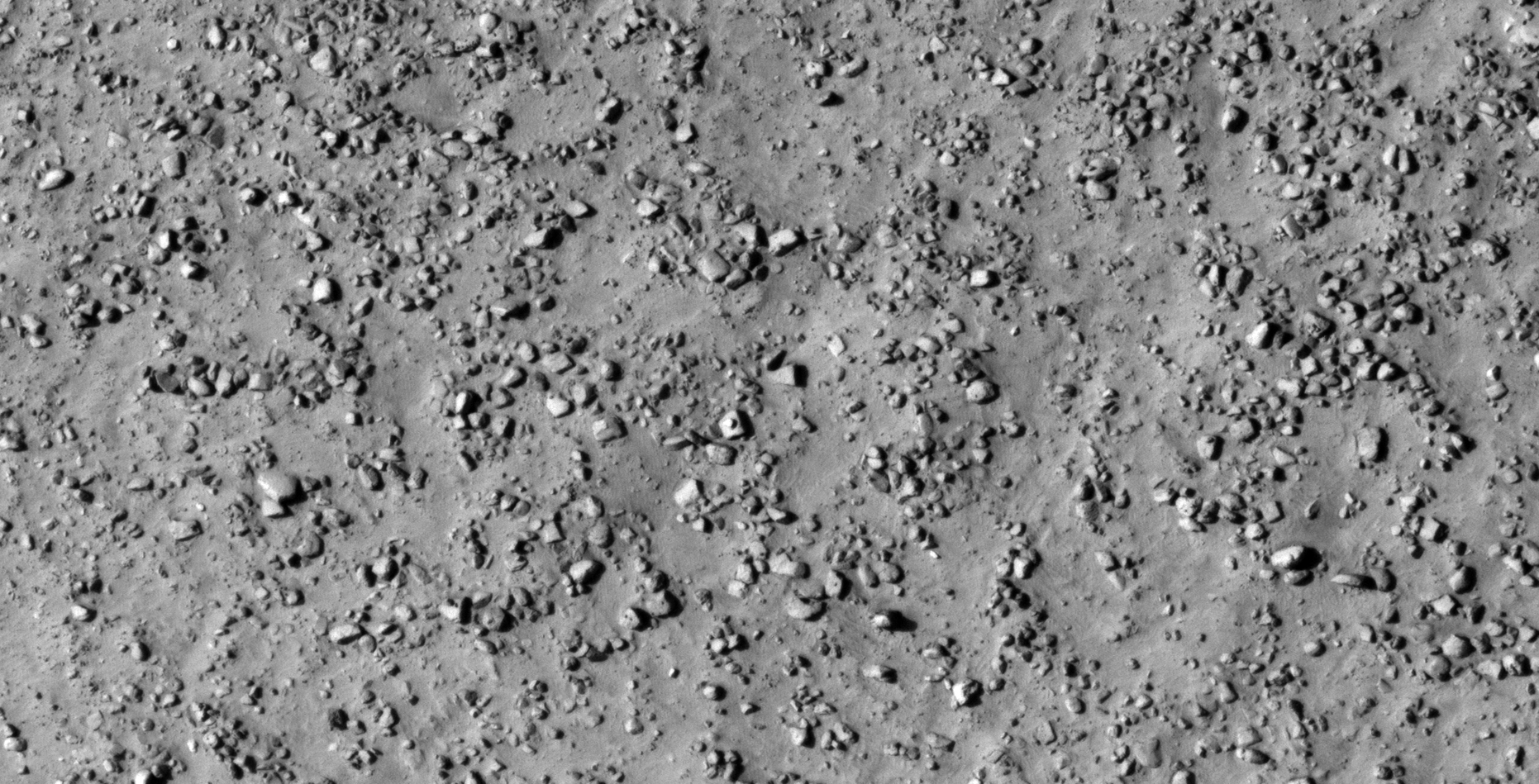
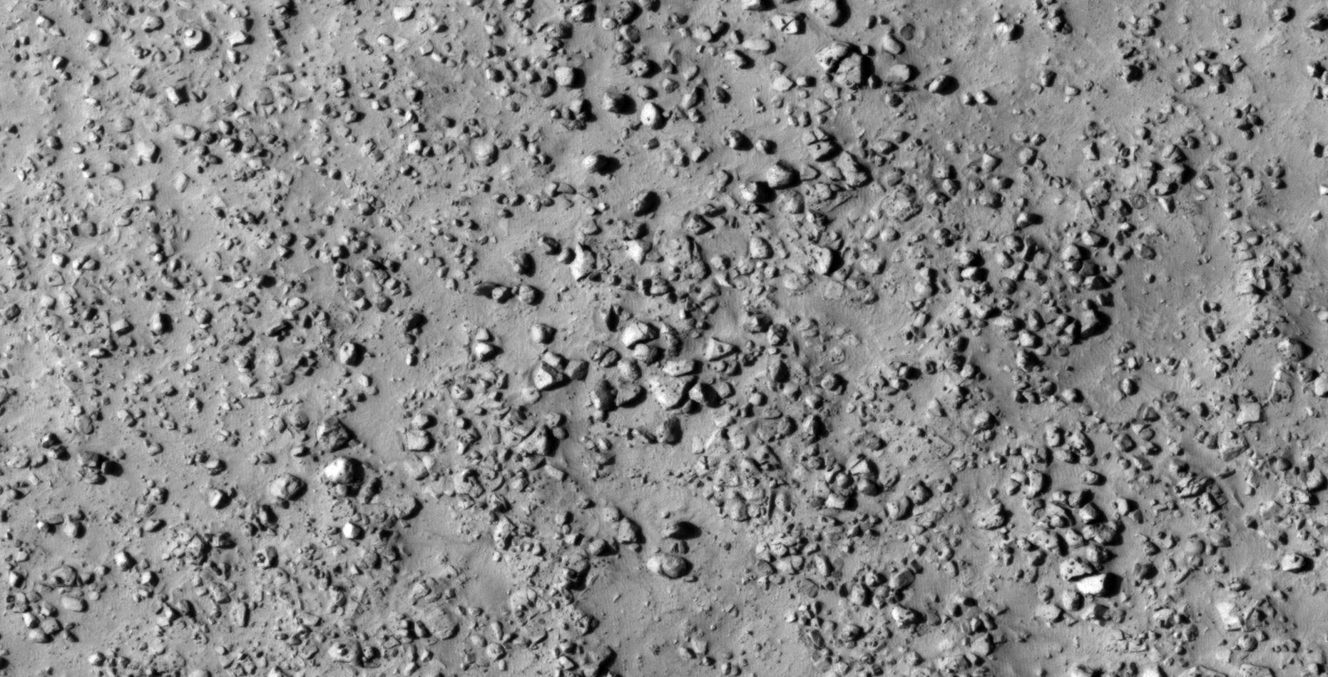
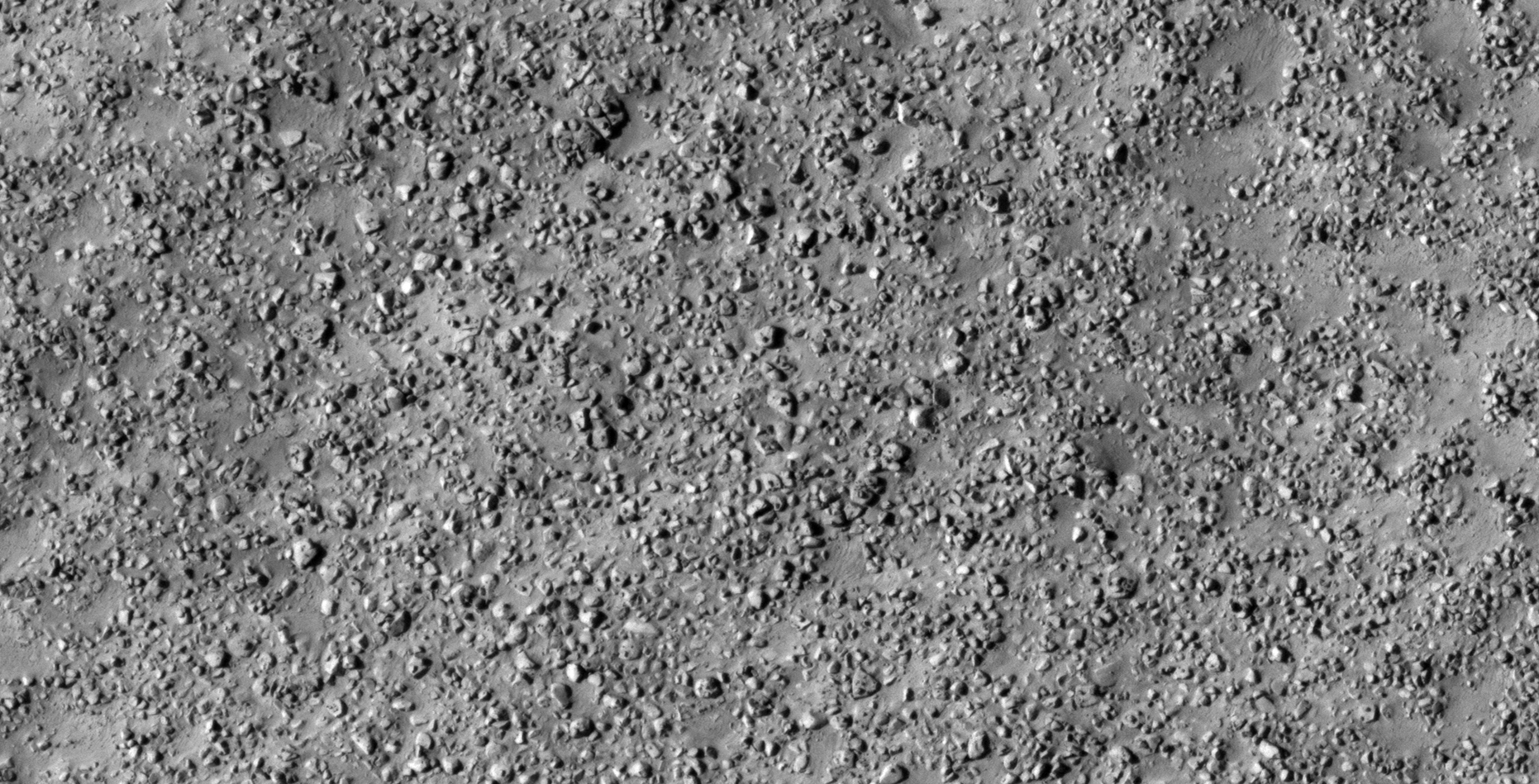
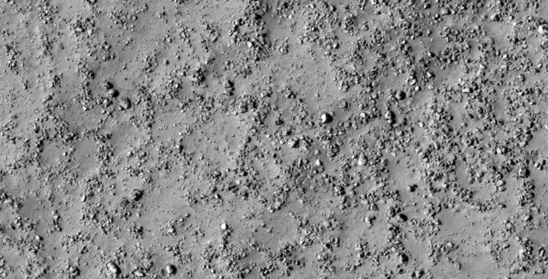
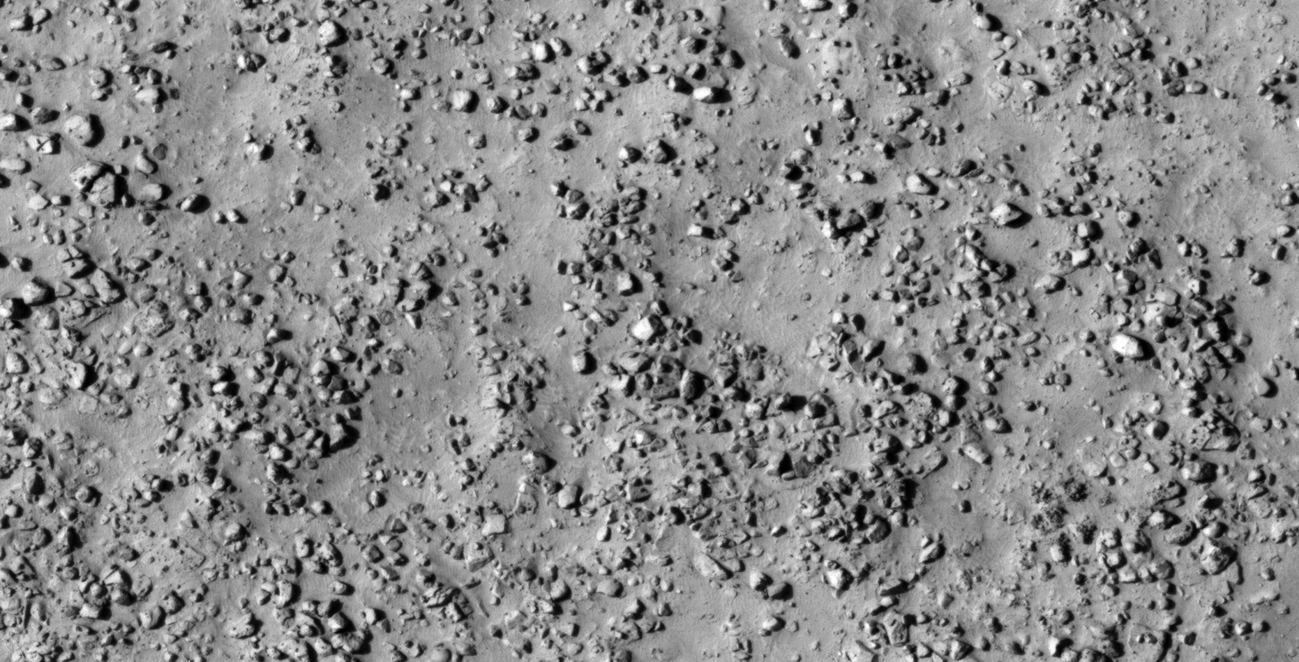
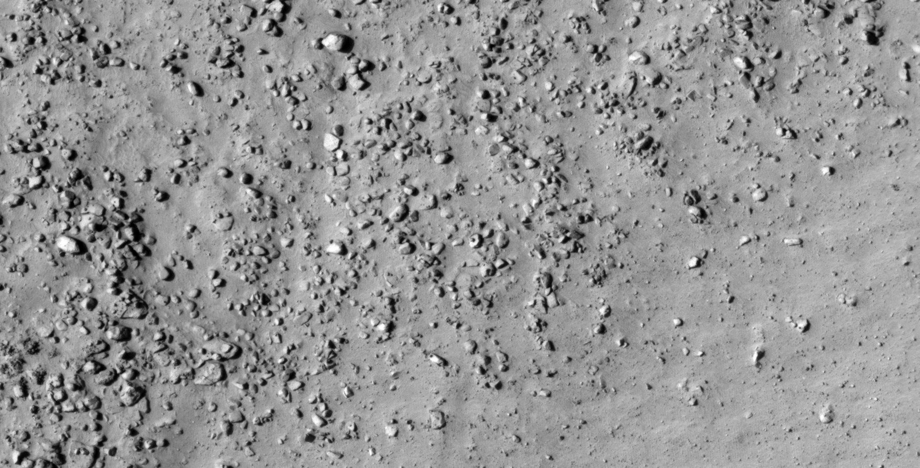
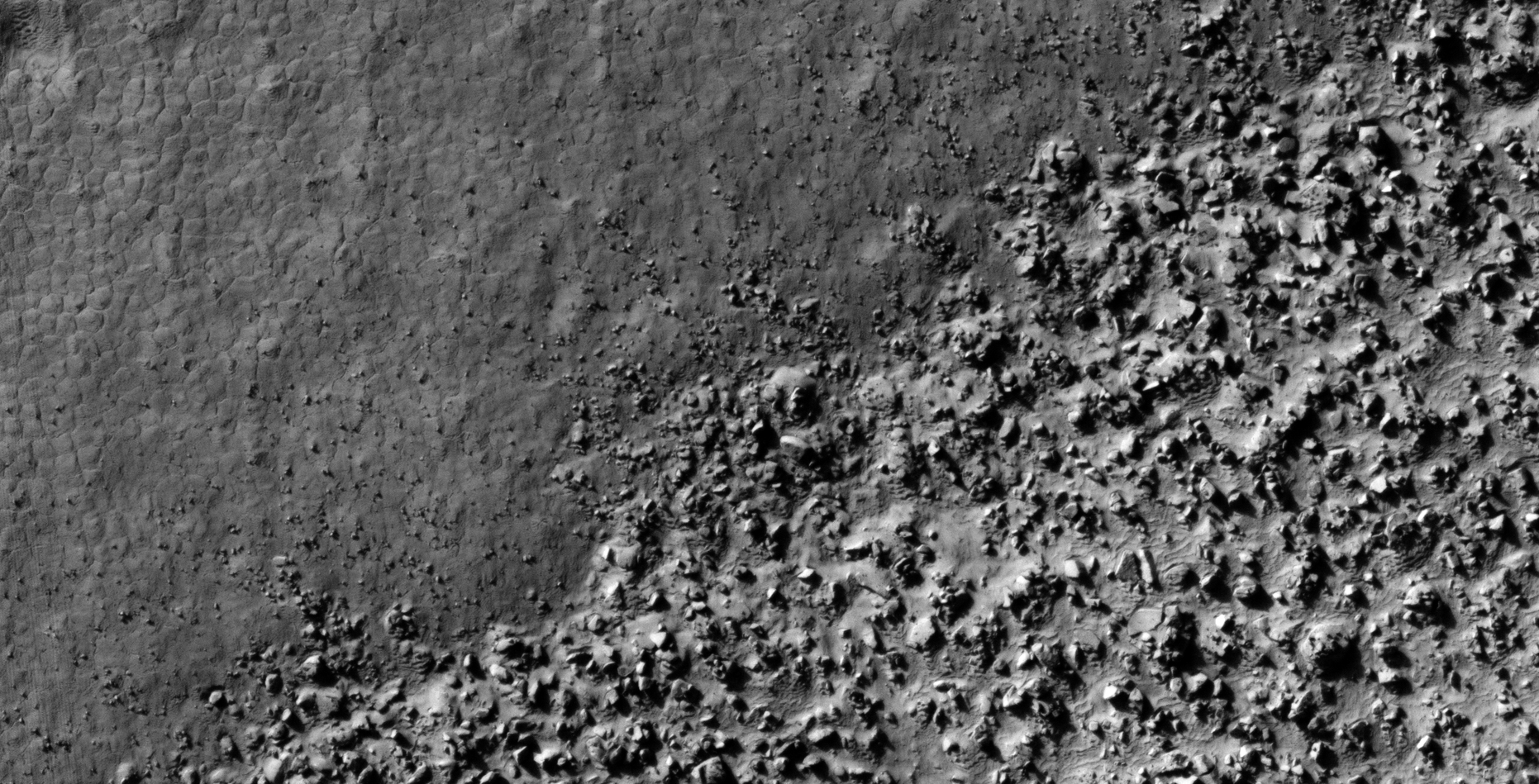
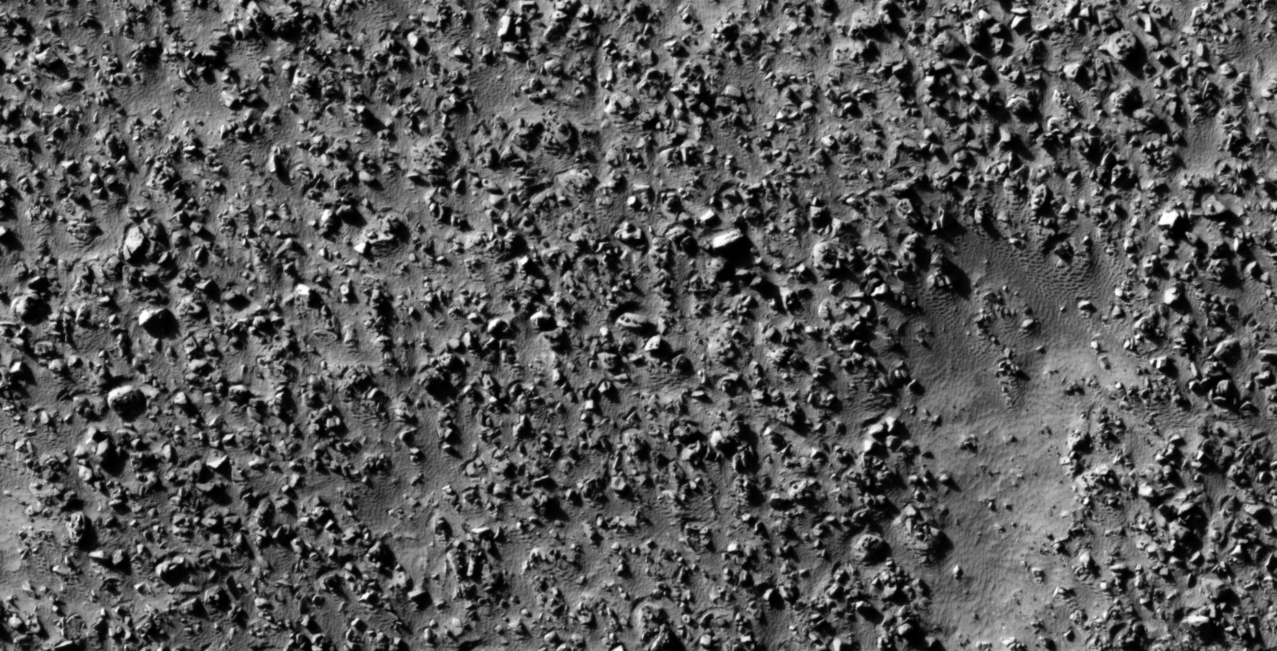
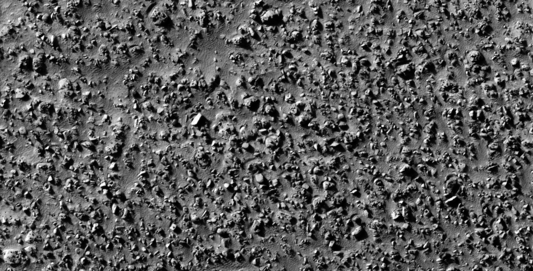
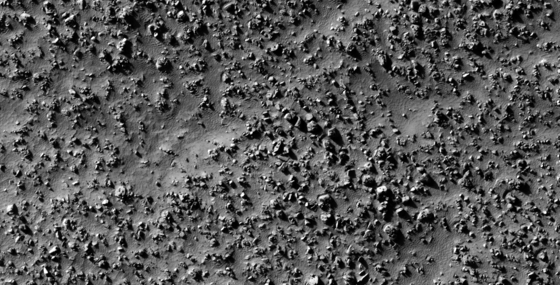
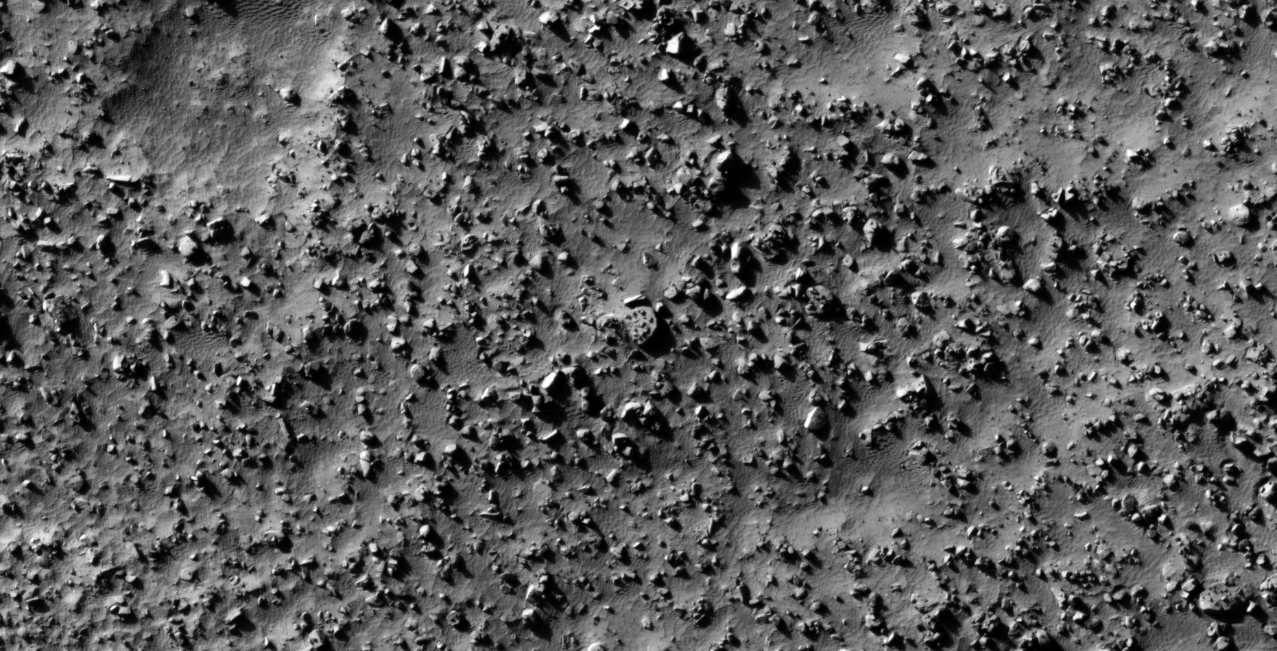
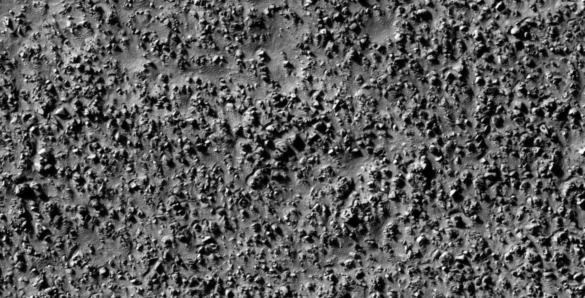
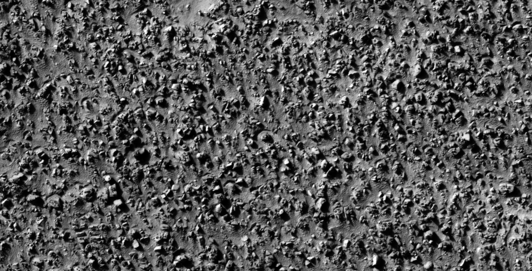
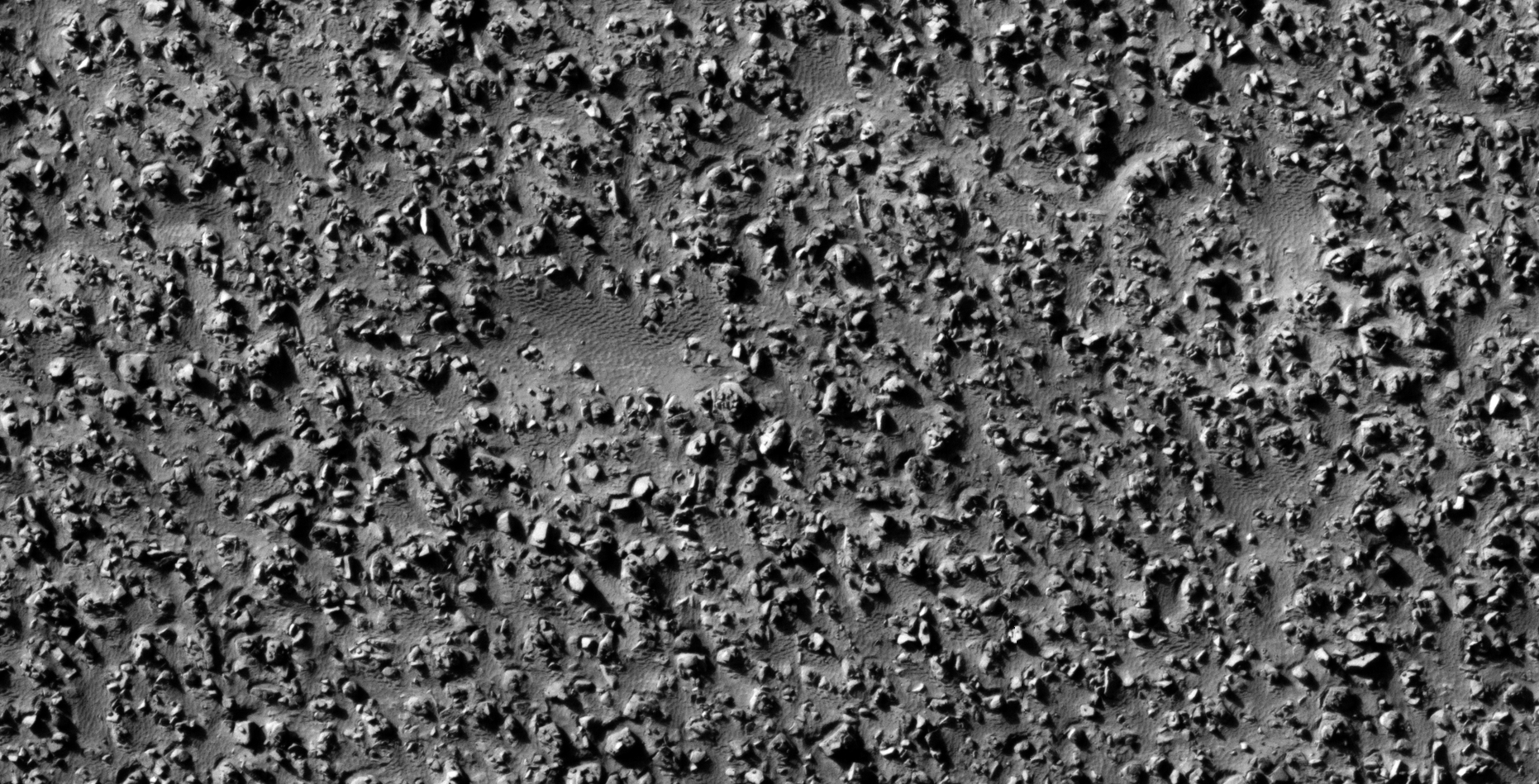
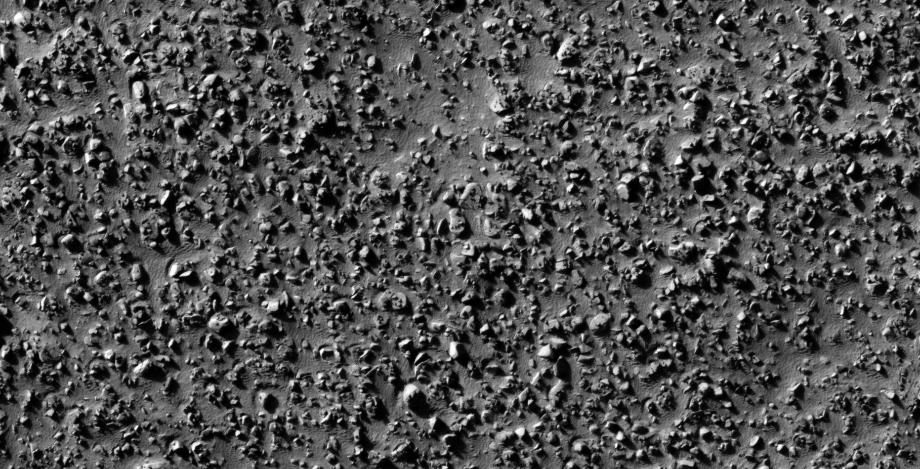
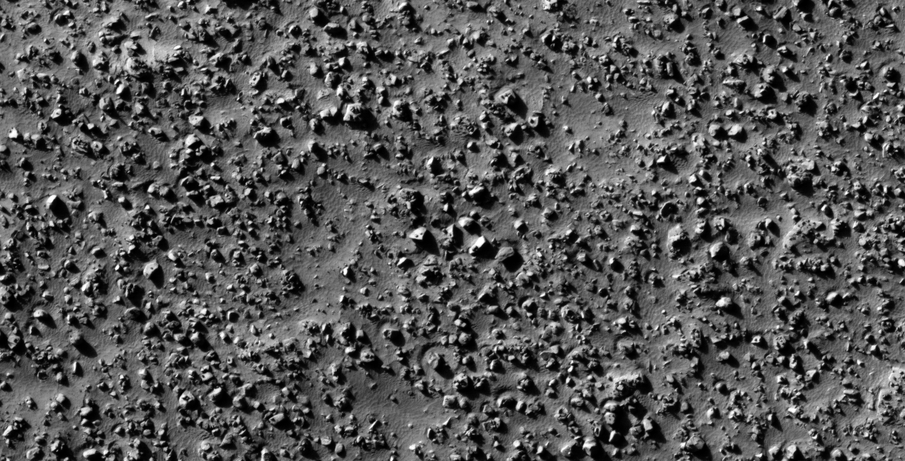
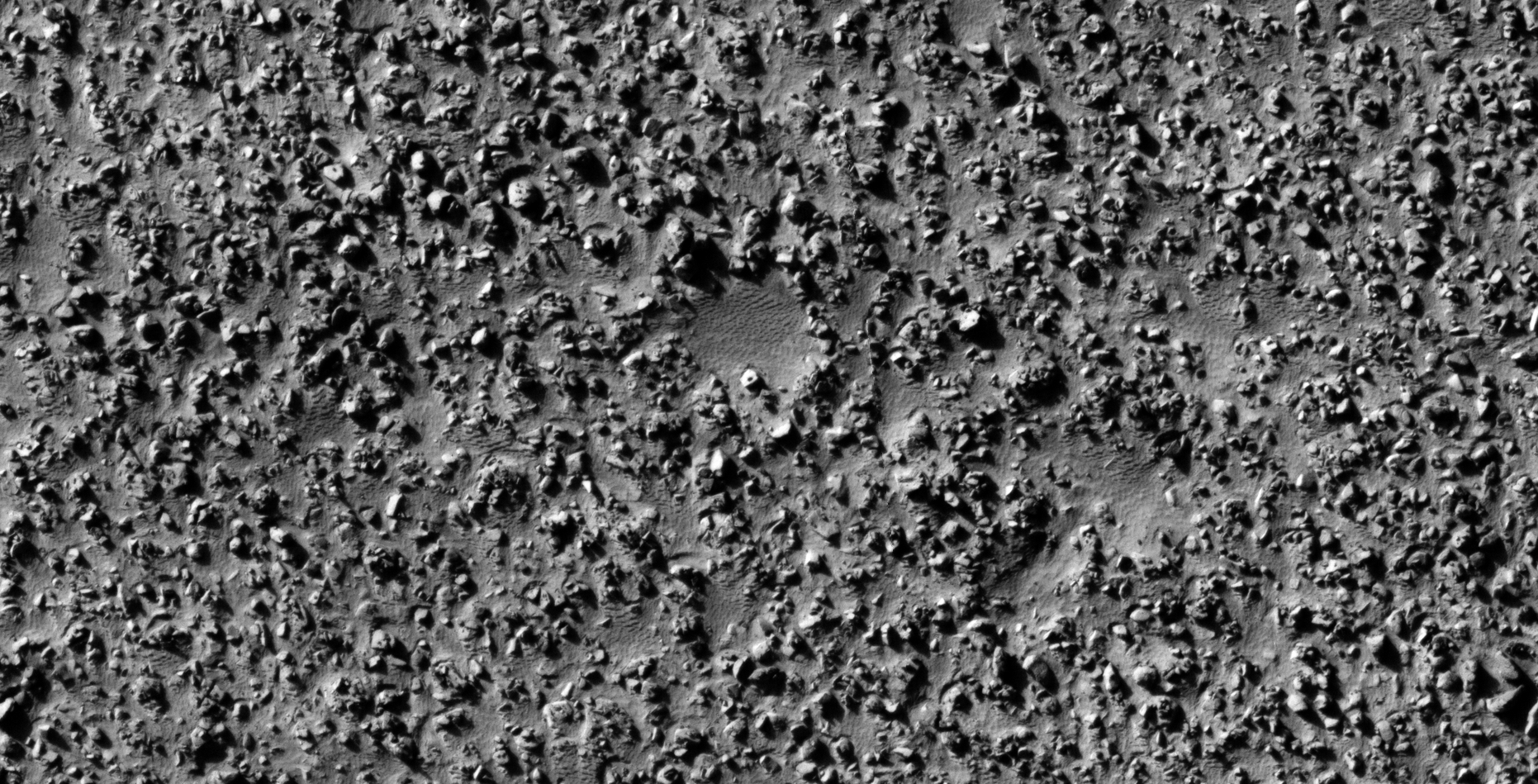
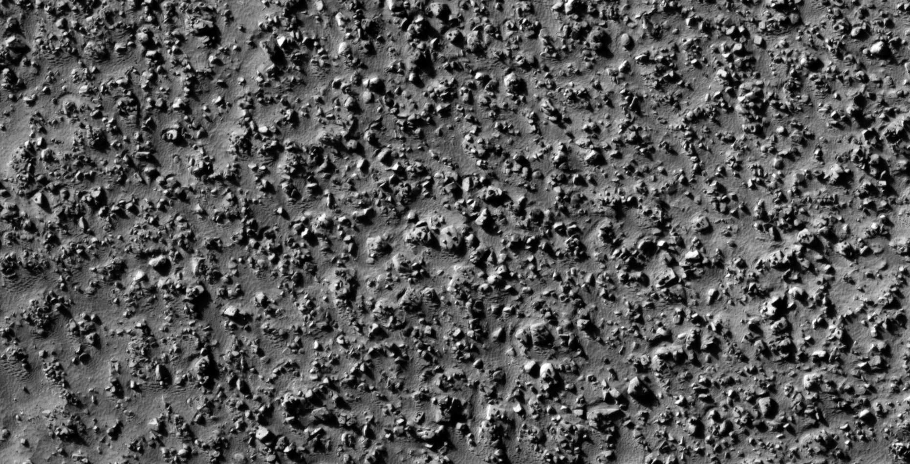
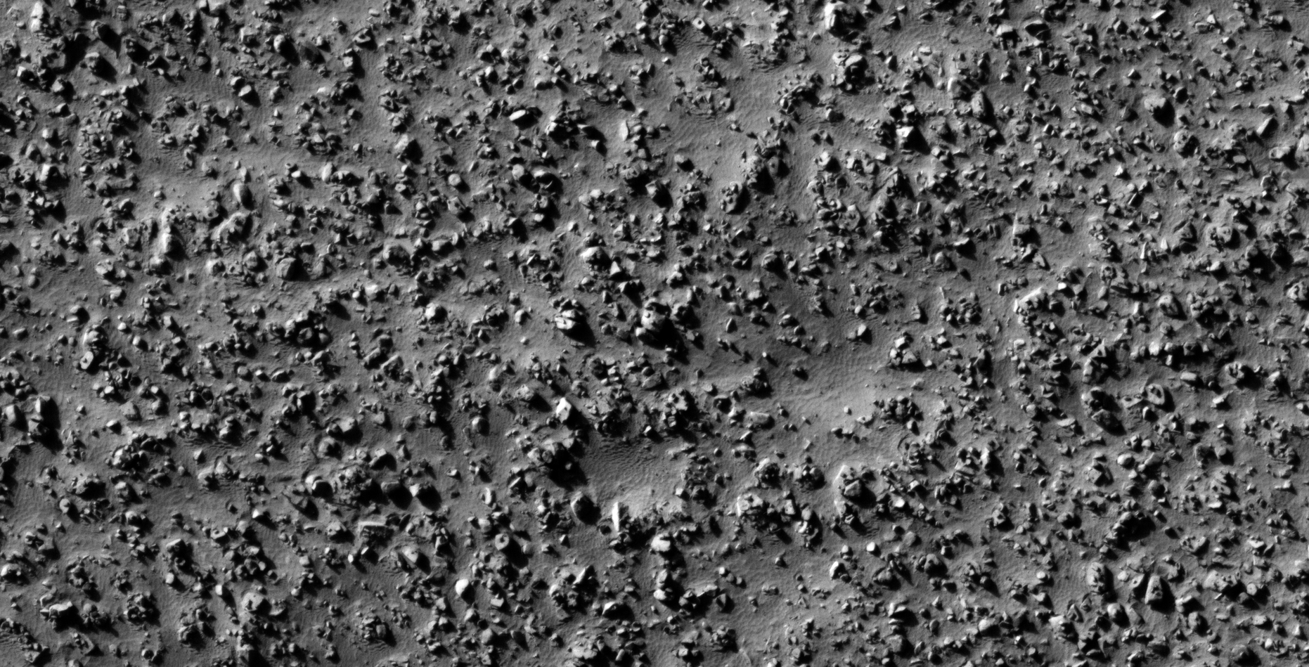
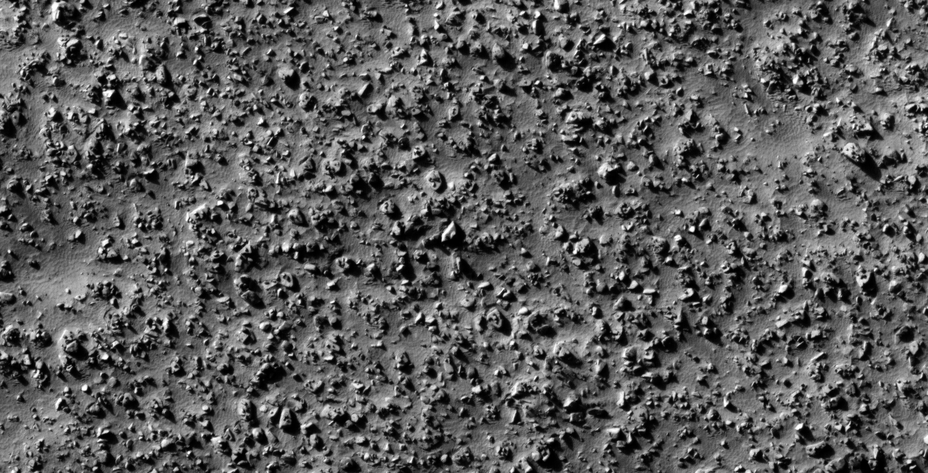
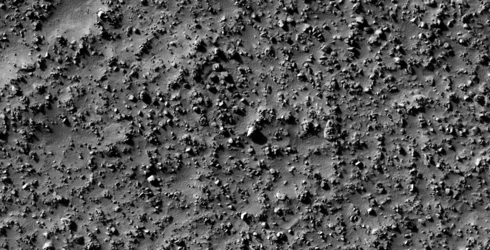
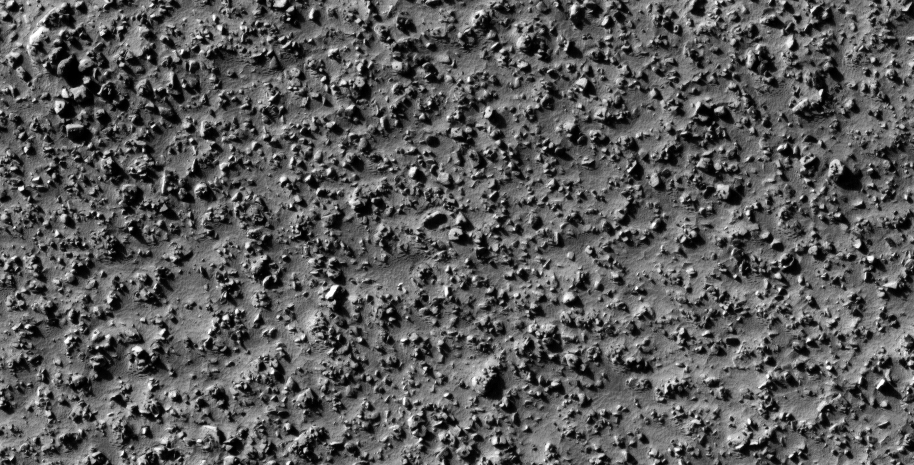
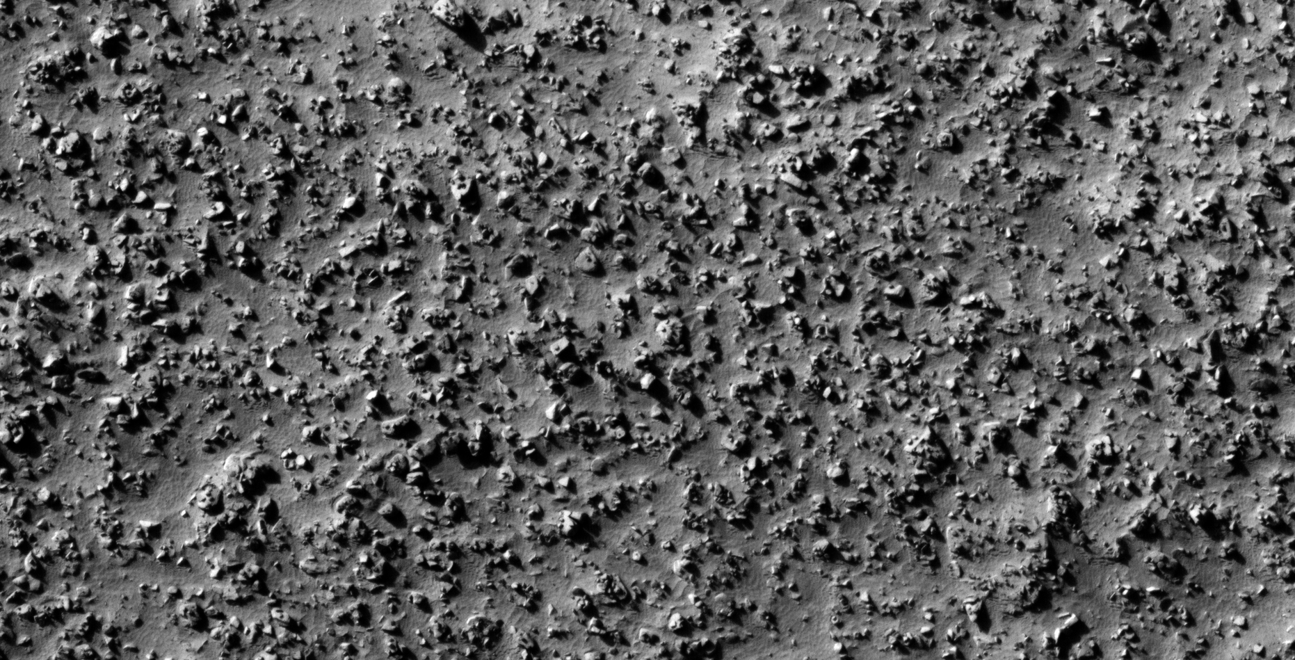
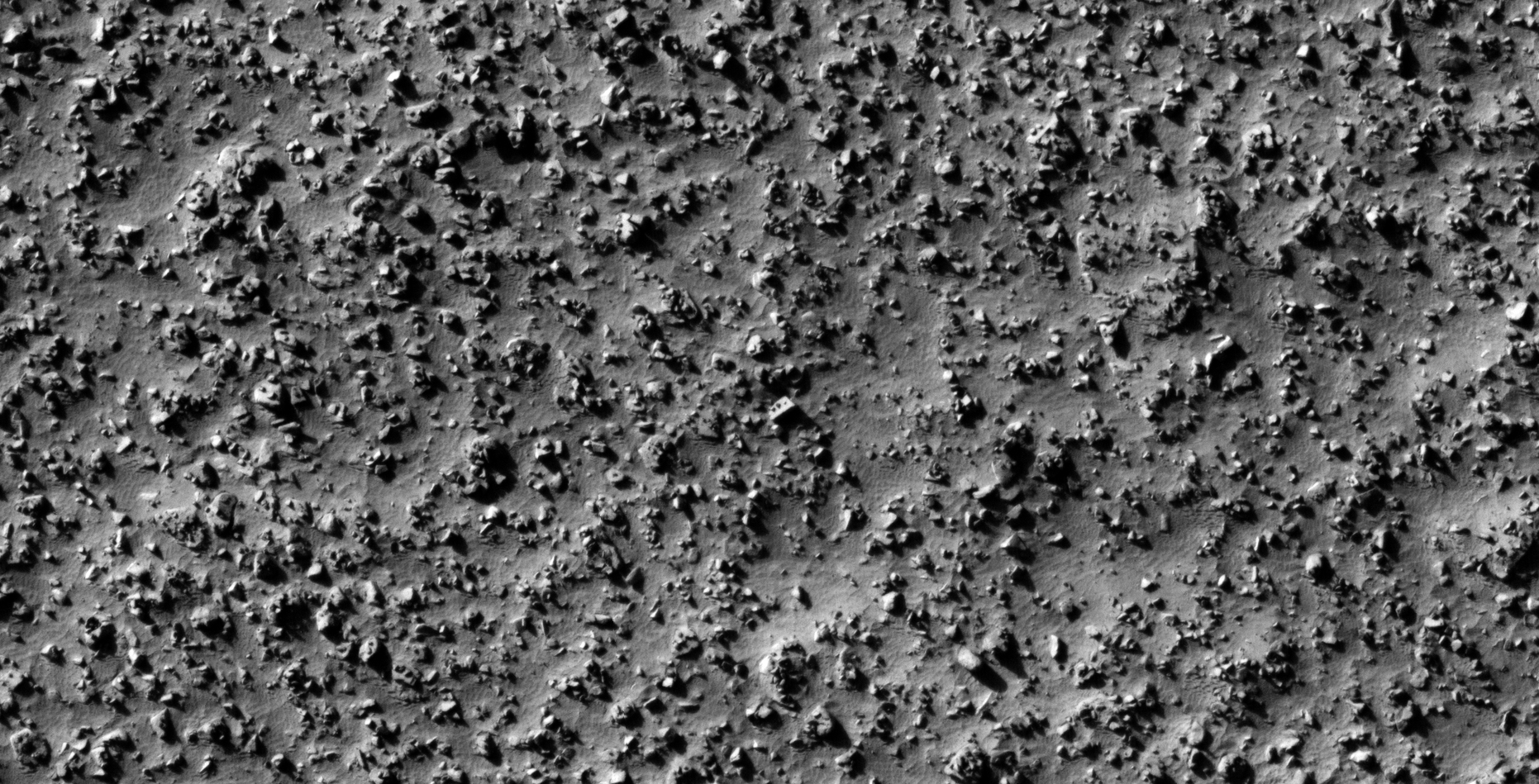
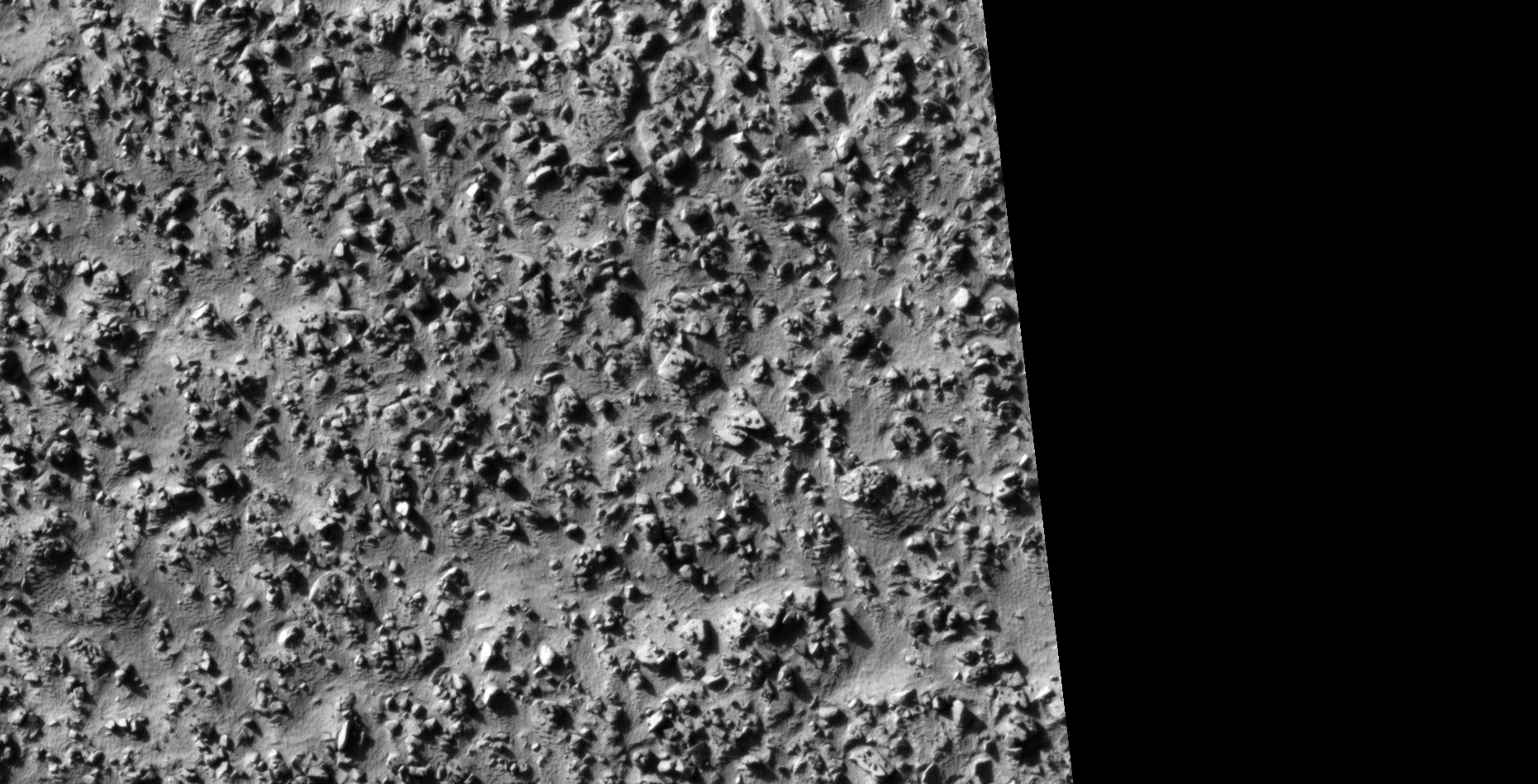
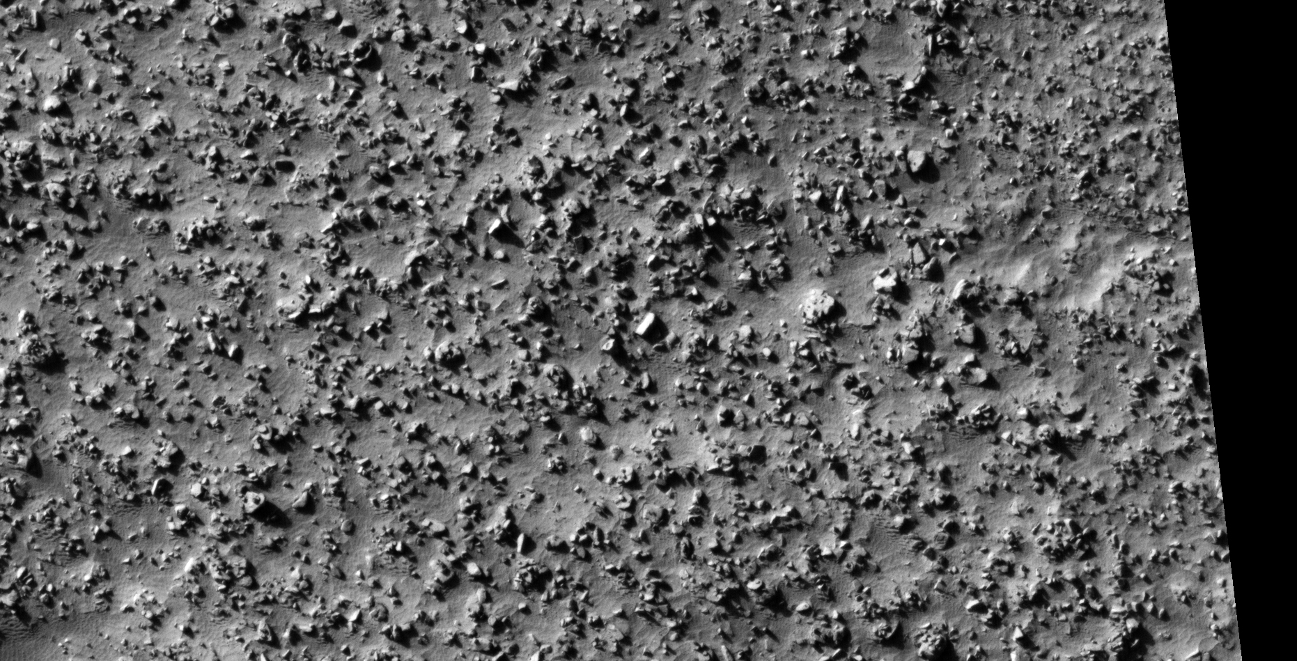
The photograph analyzed here (ESP_013805_1295) was taken by NASA’s Mars Reconnaissance Orbiter on 07 July 2009 describes the photograph as ‘Surface Rocks and Blocks.’
Here I speculate that I discovered further evidence of megalithic blocks with knobs and what appears to be wreckage of some type of machinery or technology.
In some cases I cannot say for certain whether the respective anomalies or artefacts are megalithic or wreckage.
Note: Although this HiRISE photograph is very high-resolution, the brightness and lack of contrast made it rather difficult to bring out details in the images that follow.
Note the perfect hole in the block located middle top, a small dome-shaped feature or knob is seen on the side as well as strange symbols/parts on the upper part. The block on the left has small features arranged in a circular pattern around a larger circular feature. A square block is seen in the middle bottom and a pyramidal feature on the block to the bottom right (click for larger image)Another perfect hole in the block located to the bottom right, a smaller conical feature is also seen next to the hole. Note the arrangement of three similar sized objects to the left of the block with the hole. A small pyramidal feature or knob is seen on the object located to the top left. Note the perfectly defined edges of the objects located to the middle top (click for larger image)Interlocking layered pieces located to the top left. Could these be metallic plates of some type of technology? Small similar sized parts or features are seen on the surface. Another perfect hole is seen on the object located to the bottom right (click for larger image)Interlocking blocks located in the center of the image. One block located to the top left has moved out of place. The block located to the middle left also seem to have a hole in the one side (click for larger image)Check out the chevron shaped object in the center of the image. Small triangular features or knobs are seen on various other objects (click for larger image)Small features or knobs arranged in multiple geometric patterns on these objects, some are arranged in straight rows while others are arranged in circular and triangular patterns (click for larger image)Layered object with small dome shaped feature or knob in the center (click for larger image)Metallic plate with large circular dome like object and smaller pyramidal object or feature on top of it (click for larger image)Two objects with small pyramidal features of knobs on top (click for larger image)Wreckage of some type of machine or technology? The two objects located to the top left look like bent metal plates. Note sure if the chevron, convex shaped object in the center is megalithic or mechanical (click for larger image)A triangular part is seen on a large hexagonal object, which might be metallic, located to the bottom left. Four similar sized features are arrange in a circular pattern around a dome shaped feature on the surface of the object located to the top left (click for larger image)Mechanical wreckage and/or megaliths? Note the well defined edges of these metal plate type objects and the smaller parts or features on top of them (click for larger image)Mechanical wreckage and/or megaliths? Note the well defined edges of these metal plate type objects and the smaller parts or features on top of them (click for larger image)Mechanical wreckage and/or megaliths? Note the well defined edges of these metal plate type objects and the smaller parts or features on top of them (click for larger image)Hexagonal, convex multi-layered object (click for larger image)Mechanical wreckage and/or megaliths? Note the well defined edges of these metal plate type objects and the smaller parts or features on top of them (click for larger image)Mechanical wreckage and/or megaliths? Note the well defined edges of these metal plate type objects and the smaller parts or features on top of them (click for larger image)Mechanical wreckage and/or megaliths? Note the well defined edges of these metal plate type objects and the smaller parts or features on top of them (click for larger image)Mechanical wreckage and/or megaliths? Note the well defined edges of these metal plate type objects and the smaller parts or features on top of them (click for larger image)Mechanical wreckage and/or megaliths? Note the well defined edges of these metal plate type objects and the smaller parts or features on top of them (click for larger image)Mechanical wreckage and/or megaliths? Note the well defined edges of these metal plate type objects and the smaller parts or features on top of them (click for larger image)Mechanical wreckage and/or megaliths? Note the well defined edges of these metal plate type objects and the smaller parts or features on top of them (click for larger image)Chevron shaped megalithic block located to the right with small strategically placed features on the surface. The objects located to the top left look like wreckage of some type of machinery or technology; the edge of the larger piece looks like the edge of a metal plate (click for larger image)Mechanical wreckage and/or megaliths? Note the well defined edges of these metal plate type objects and the smaller parts or features on top of them (click for larger image)Mechanical wreckage and/or megaliths? Note the well defined edges of these metal plate type objects and the smaller parts or features on top of them (click for larger image)Note the strange Egyptian Ankh-like symbol on the triangular block located to the top left. The square cube-like block to the bottom right has what appears to be a larger base on the side. A perfect spherical feature is seen on the object located to the middle left (click for larger image)Mechanical wreckage and/or megaliths? Note the well defined edges of these metal plate type objects and the smaller parts or features on top of them (click for larger image)Large square megalithic block located to the top left (click for larger image)Mechanical wreckage and/or megaliths? Note the well defined edges of these metal plate type objects and the smaller parts or features on top of them (click for larger image)Mechanical wreckage and/or megaliths? Note the well defined edges of these metal plate type objects and the smaller parts or features on top of them (click for larger image)Mechanical wreckage and/or megaliths? Note the well defined edges of these metal plate type objects and the smaller parts or features on top of them (click for larger image)Large dome on top of larger disc shaped object located to the bottom right. Could this be a craft of some type? (click for larger image)Layered metallic plates? Note the defined edges and rounded corners as well as the small 90 degree bends or edges (click for larger image)Multiple interlocking/layered objects. Some appear metallic in nature while others megalithic in nature (click for larger image)Mechanical wreckage and/or megaliths? Note the well defined edges of these metal plate type objects and the smaller parts or features on top of them (click for larger image)Mechanical wreckage and/or megaliths? Note the well defined edges of these metal plate type objects and the smaller parts or features on top of them (click for larger image)Mechanical wreckage and/or megaliths? Note the well defined edges of these metal plate type objects and the smaller parts or features on top of them (click for larger image)Mechanical wreckage and/or megaliths? Note the well defined edges of these metal plate type objects and the smaller parts or features on top of them (click for larger image)Mechanical wreckage and/or megaliths? Note the well defined edges of these metal plate type objects and the smaller parts or features on top of them (click for larger image)Two interlocking/layered rectangular objects, possibly megalithic blocks or metallic type plates? (click for larger image)Small block-like features or knobs arranged on top of a larger perfectly square slab (click for larger image)Multi-layered, bent metallic plates, could this be wreckage of some type of machine or technology? (click for larger image)Megalithic blocks, one chevron shaped the other rectangular, with small features or knobs in the centers (click for larger image)Mechanical wreckage and/or megaliths? Note the well defined edges of these metal plate type objects and the smaller parts or features on top of them (click for larger image)Mechanical wreckage and/or megaliths? Note the well defined edges of these metal plate type objects and the smaller parts or features on top of them (click for larger image)Check out the strange features or parts on the surface of the large object located in the top center next to the large rectangular block on the left. Another object with small feature or knob is located in the bottom right (click for larger image)Mechanical wreckage and/or megaliths? Note the well defined edges of these metal plate type objects and the smaller parts or features on top of them (click for larger image)Two hexagonal objects with small features or knobs located in their centers (click for larger image)Interlocking objects, perhaps mechanical in nature, located to the top right, Small features or nobs can be seen on the other objects located top left and bottom right (click for larger image)Mechanical wreckage and/or megaliths? Note the well defined edges of these metal plate type objects and the smaller parts or features on top of them (click for larger image)Mechanical wreckage and/or megaliths? Note the well defined edges of these metal plate type objects and the smaller parts or features on top of them (click for larger image)Dark, triangular, convex shaped feature on top of a larger triangular object located bottom right. The three objects in a row. located to the top, all have small features on them (click for larger image)Mechanical wreckage and/or megaliths? Note the well defined edges of these metal plate type objects and the smaller parts or features on top of them (click for larger image)Plectrum shaped object with three similar features or knobs in a row on its surface. More features are seen on the other objects in the area (click for larger image)Mechanical wreckage and/or megaliths? Note the well defined edges of these metal plate type objects and the smaller parts or features on top of them (click for larger image)Mechanical wreckage and/or megaliths? Note the well defined edges of these metal plate type objects and the smaller parts or features on top of them (click for larger image)Mechanical wreckage and/or megaliths? Note the well defined edges of these metal plate type objects and the smaller parts or features on top of them (click for larger image)Semi-circular object located in the center of the image, it appears is may be on top stacked/layered metal plates. A smaller square megalithic block is seen to the left (click for larger image)
Images saved from within HiView or CTX viewer do not include image scale indicators. The image scale indicators I include in images are based on the official resolutions provided by NASA and although I strive to be as accurate as possible there may be slight deviations from the actual scale. Image scale indicators are included as a size approximation tool only.
Geometry lines are mapped as accurately as possible using the limited information, data and mapping tools available at the time, therefore the lines may deviate from target sites by a few kilometres. Revisions may be made in the future as new, more precise information, data and mapping tools become available.
Many or all of the anomalies/artefacts covered in this presentation may be naturally occurring geological features caused by some type of geological processes, however due to the lack of specific information from the source we can only speculate whether these are all natural or some artificial in nature.
In cases where I say an anomaly looks like something I’m attempting to clarify what I see and not specifically that the anomaly is what I say it looks like.
My intention is only to share anomalies I’ve discovered on Mars and not to convince anyone that there is or was a civilization on Mars.
As Will Farrar from WhatsUpInTheSky says: “I see what I see, you see what you see.”
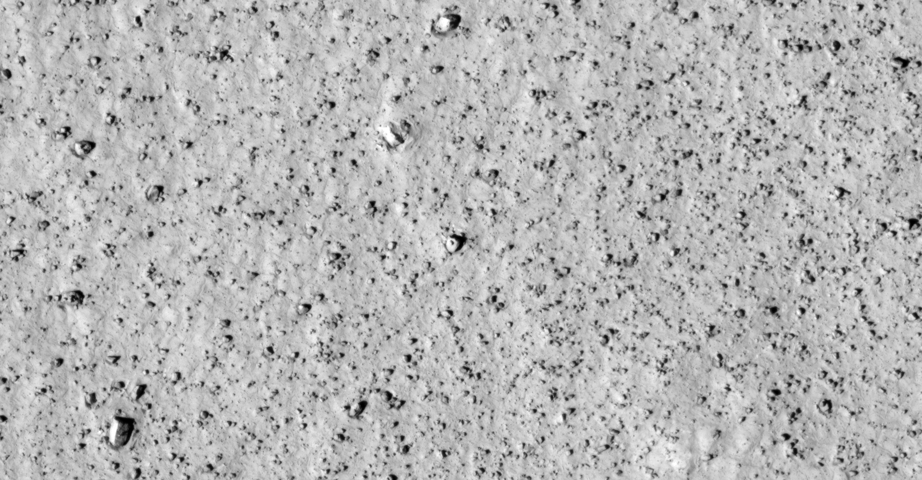
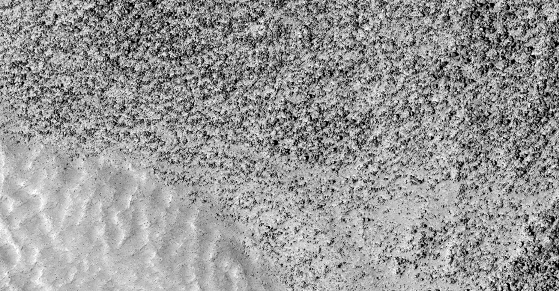
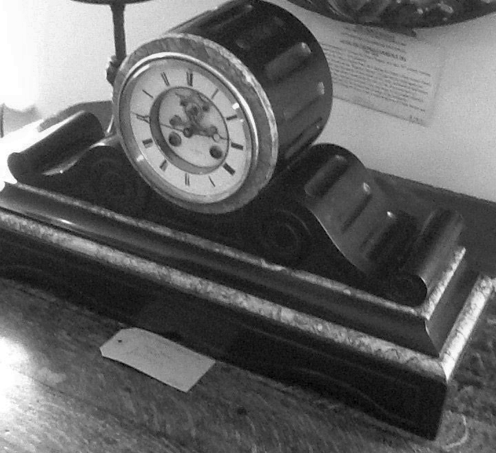
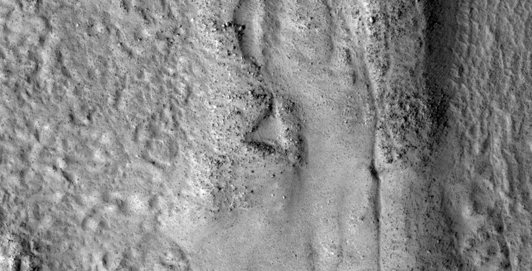
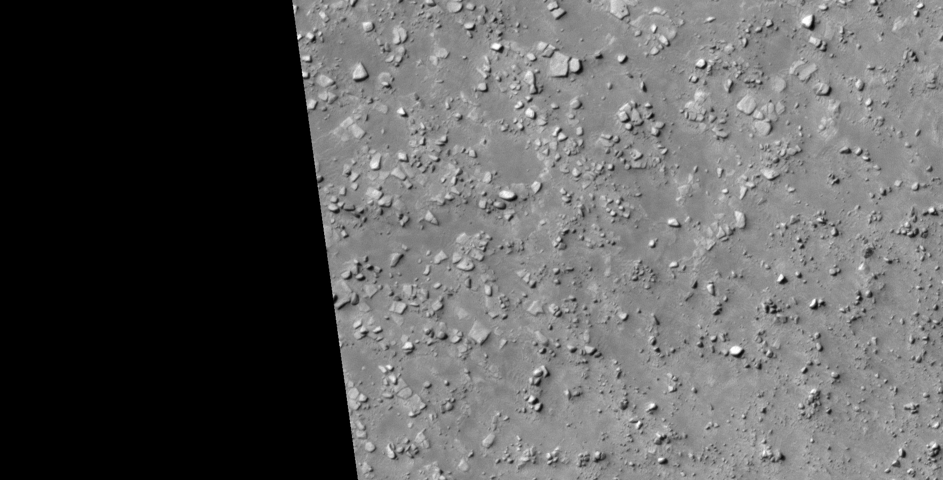
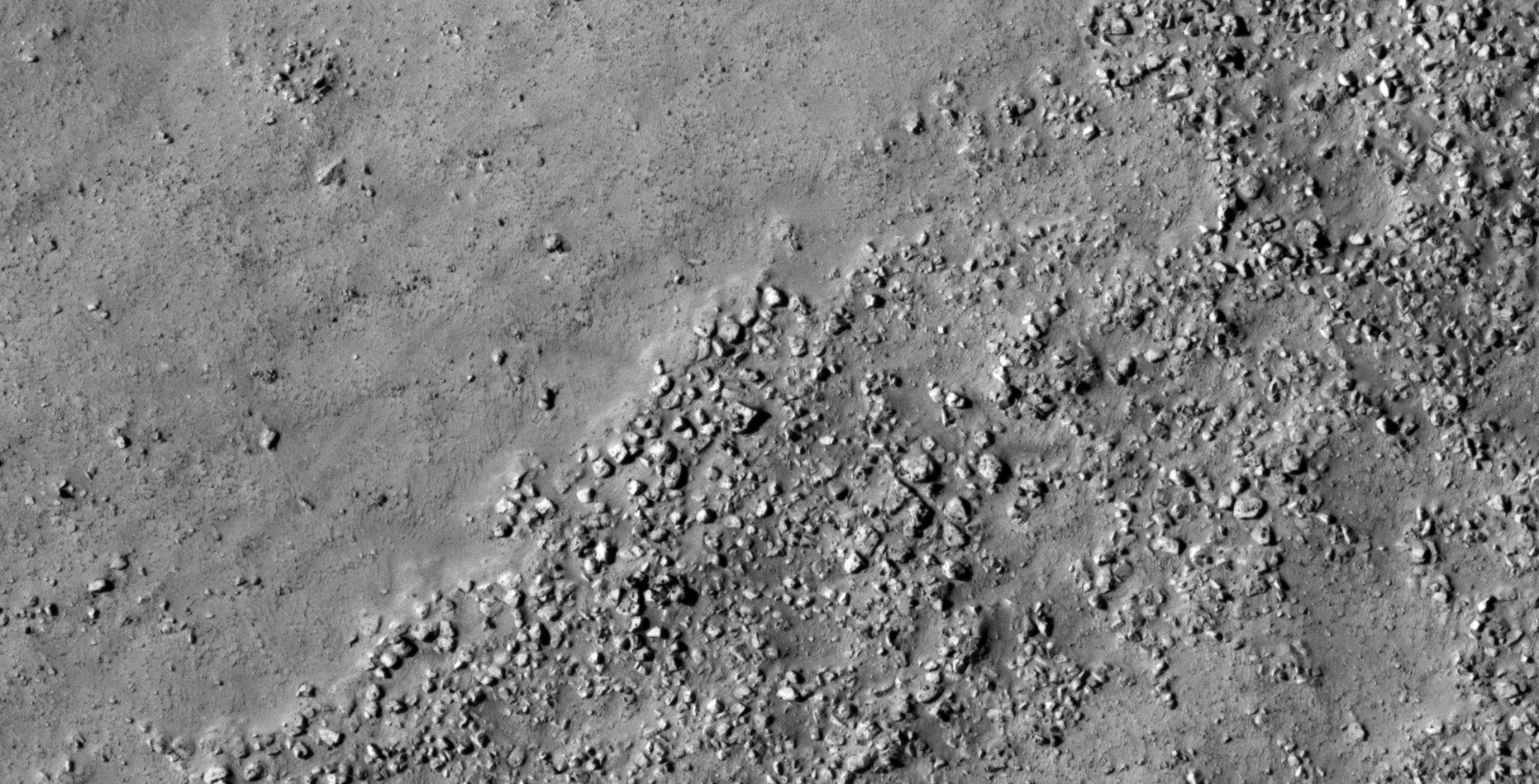
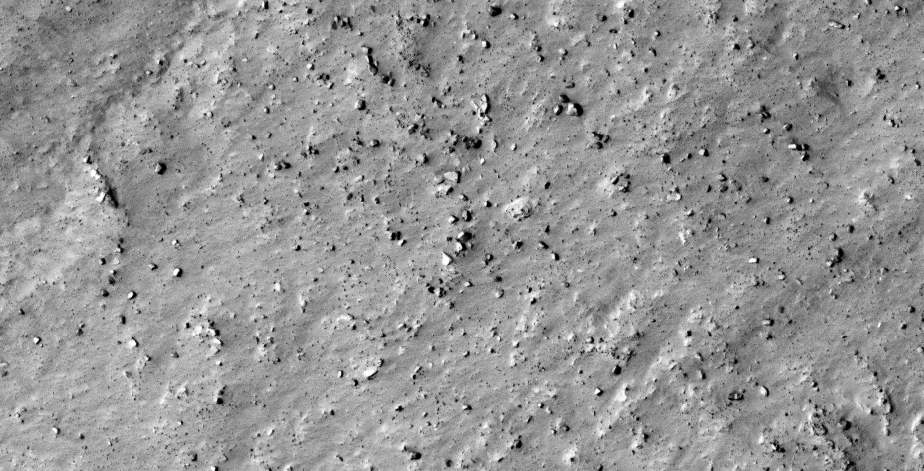
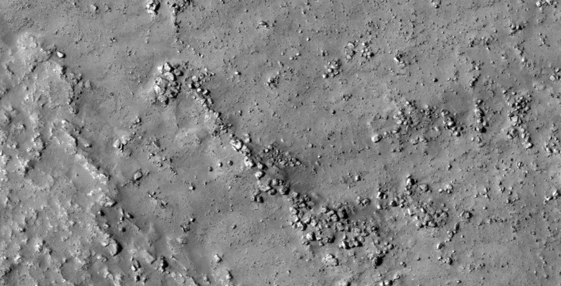
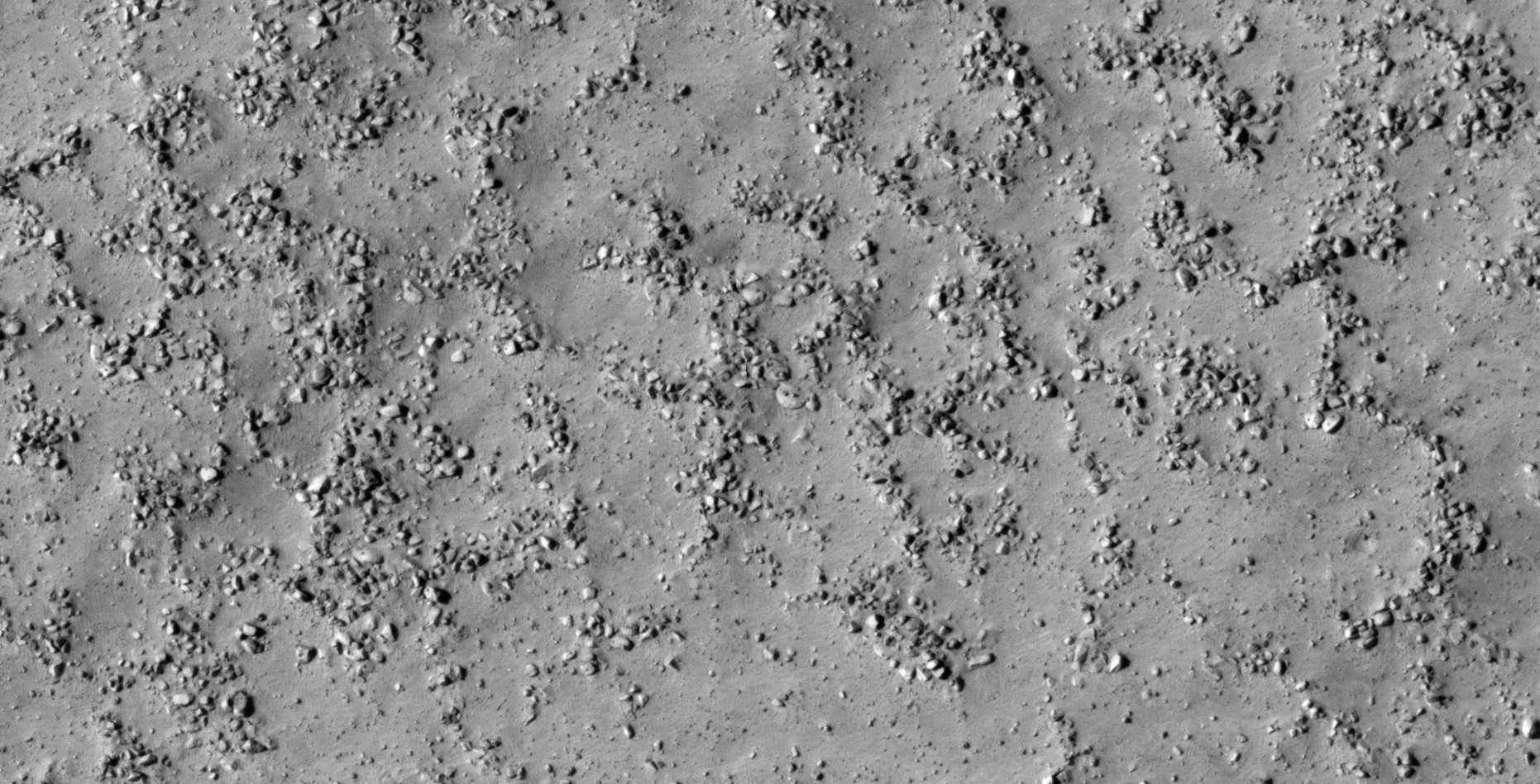
The photograph analyzed here (ESP_028537_2270) was taken by NASA’s Mars Reconnaissance Orbiter on 28 August 2012 describes the photograph as ‘Grooved Plateau Surface in Deuteronilus Mensae.’
I speculate that I discovered further evidence of megalithic blocks with knobs and what appears to be a structure (shaped similar to a mantle piece clock), wreckage of some type machinery or technology and mining operations.
In some cases I cannot say for certain whether the respective anomalies or artefacts are megalithic or wreckage.
Structure (click for larger image)Structure rotated 180 degrees, note the rectangular base and strange rounded part on top. The shape of the structure looks like a mantle piece clock. Could that dark rectangular shape in the base be an entrance-way? (click for larger image)Mantle Piece Clock (click for larger image)Semi-circular object with smaller dome in the center. Note the right-hand corner of the larger object which looks like a step (click for larger image)Eroded megalithic block or metallic object? Note the triangular feature or knob on the side (click for larger image)Megalithic blocks or machinery? The object to the left is shaped like a toilet seat and a saucer-shaped object can be seen to the right (click for larger image)Part of a sculpture or statue or wreckage? (click for larger image)Three similar ‘fan-like’ objects with small features of knobs next to one another (click for larger image)Top left: A pillar? Bottom right: Metallic plate or megalithic slab with smaller pyramidal feature or knob and strange square feature on top (click for larger image)Metallic wreckage? Note the three similar sized dome-like features on the surface (click for larger image)Circular megalith or craft? Note the equally sized features arranged around a larger feature in a circular pattern (click for larger image)Megalith or metallic object? Another dome-like feature or knob is seen in the center (click for larger image)Eroded megalithic slab or metallic wreckage? Note the smaller feature in the center of the surface (click for larger image)Piece of a sculpture, statue or wreckage? Note the geometric lines and patterns on the surface. A rectangular object with three small features or knobs can be seen to the top (click for larger image)Megalith or metallic object? Another dome-like feature or knob is seen in the center (click for larger image)Mining operations? (click for larger image)Mining operations? (click for larger image)
Images saved from within HiView or CTX viewer do not include image scale indicators. The image scale indicators I include in images are based on the official resolutions provided by NASA and although I strive to be as accurate as possible there may be slight deviations from the actual scale. Image scale indicators are included as a size approximation tool only.
Geometry lines are mapped as accurately as possible using the limited information, data and mapping tools available at the time, therefore the lines may deviate from target sites by a few kilometres. Revisions may be made in the future as new, more precise information, data and mapping tools become available.
Many or all of the anomalies/artefacts covered in this presentation may be naturally occurring geological features caused by some type of geological processes, however due to the lack of specific information from the source we can only speculate whether these are all natural or some artificial in nature.
In cases where I say an anomaly looks like something I’m attempting to clarify what I see and not specifically that the anomaly is what I say it looks like.
My intention is only to share anomalies I’ve discovered on Mars and not to convince anyone that there is or was a civilization on Mars.
As Will Farrar from WhatsUpInTheSky says: “I see what I see, you see what you see.”
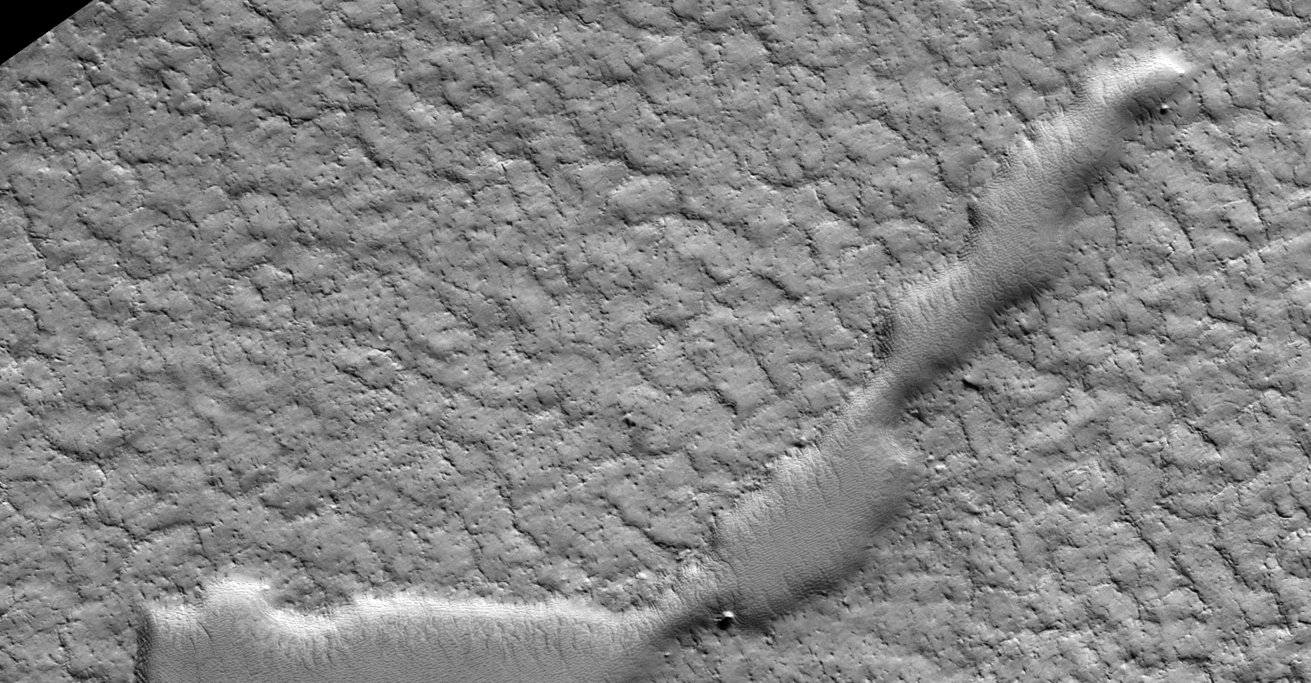
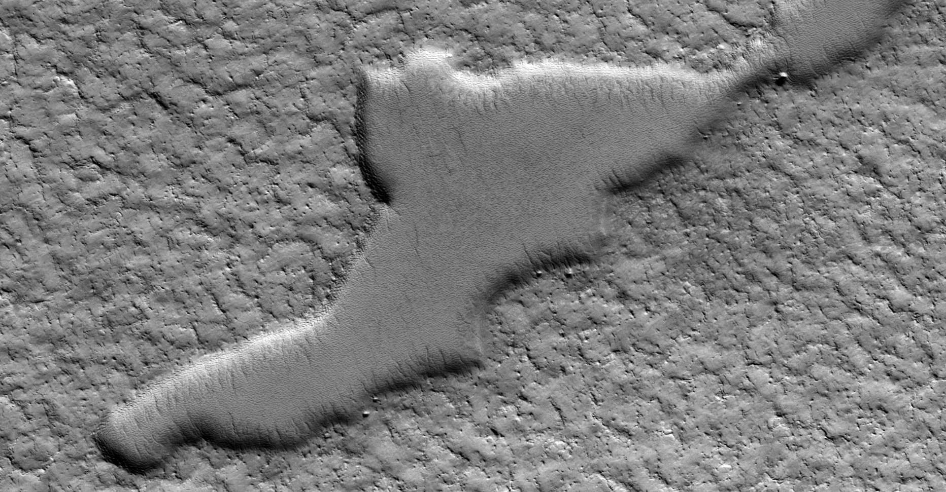
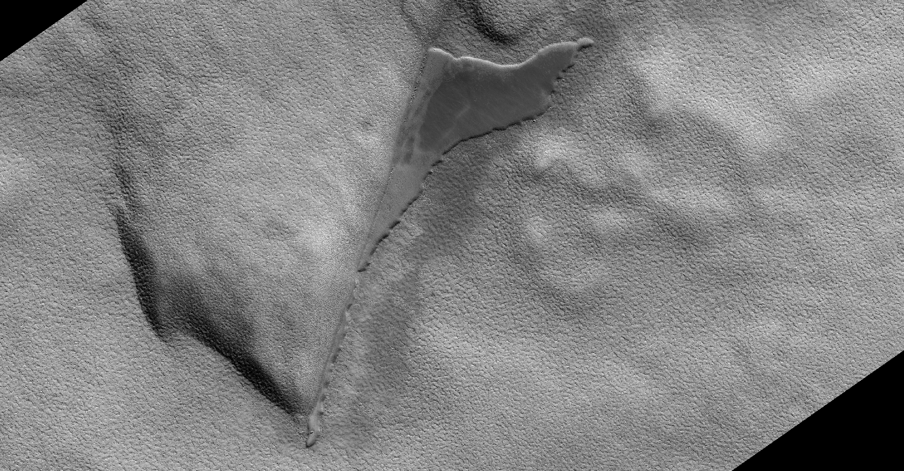
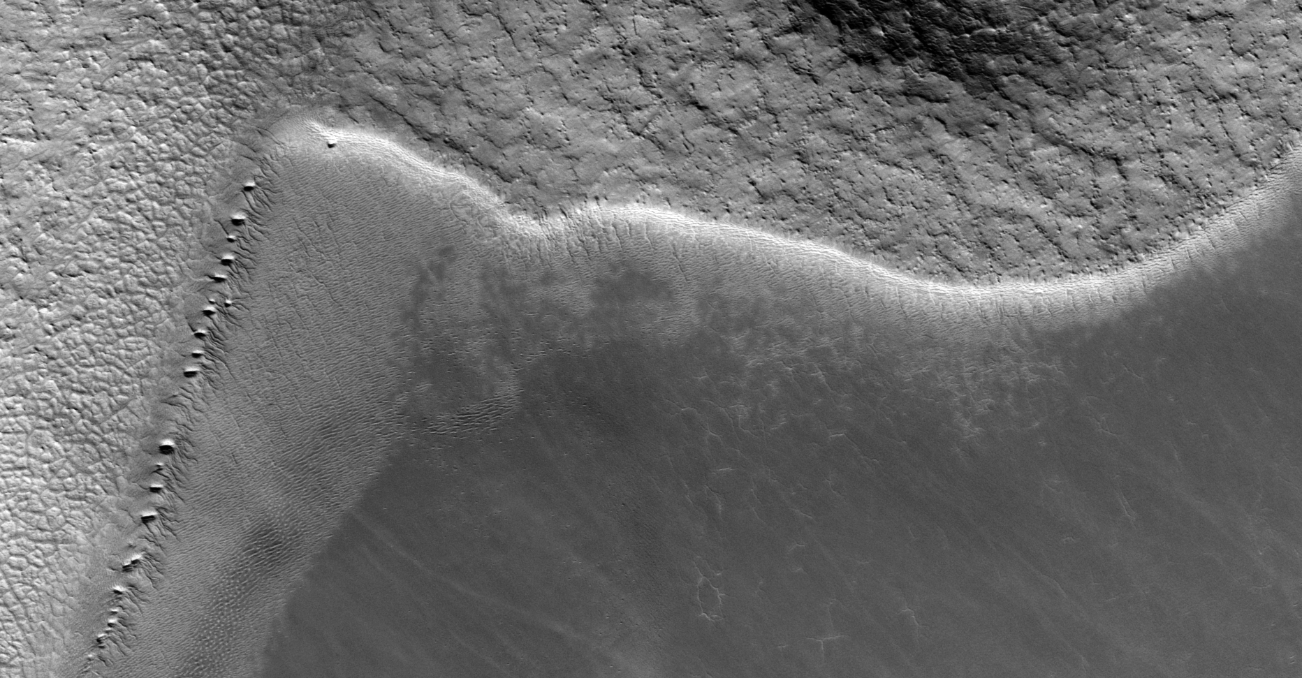
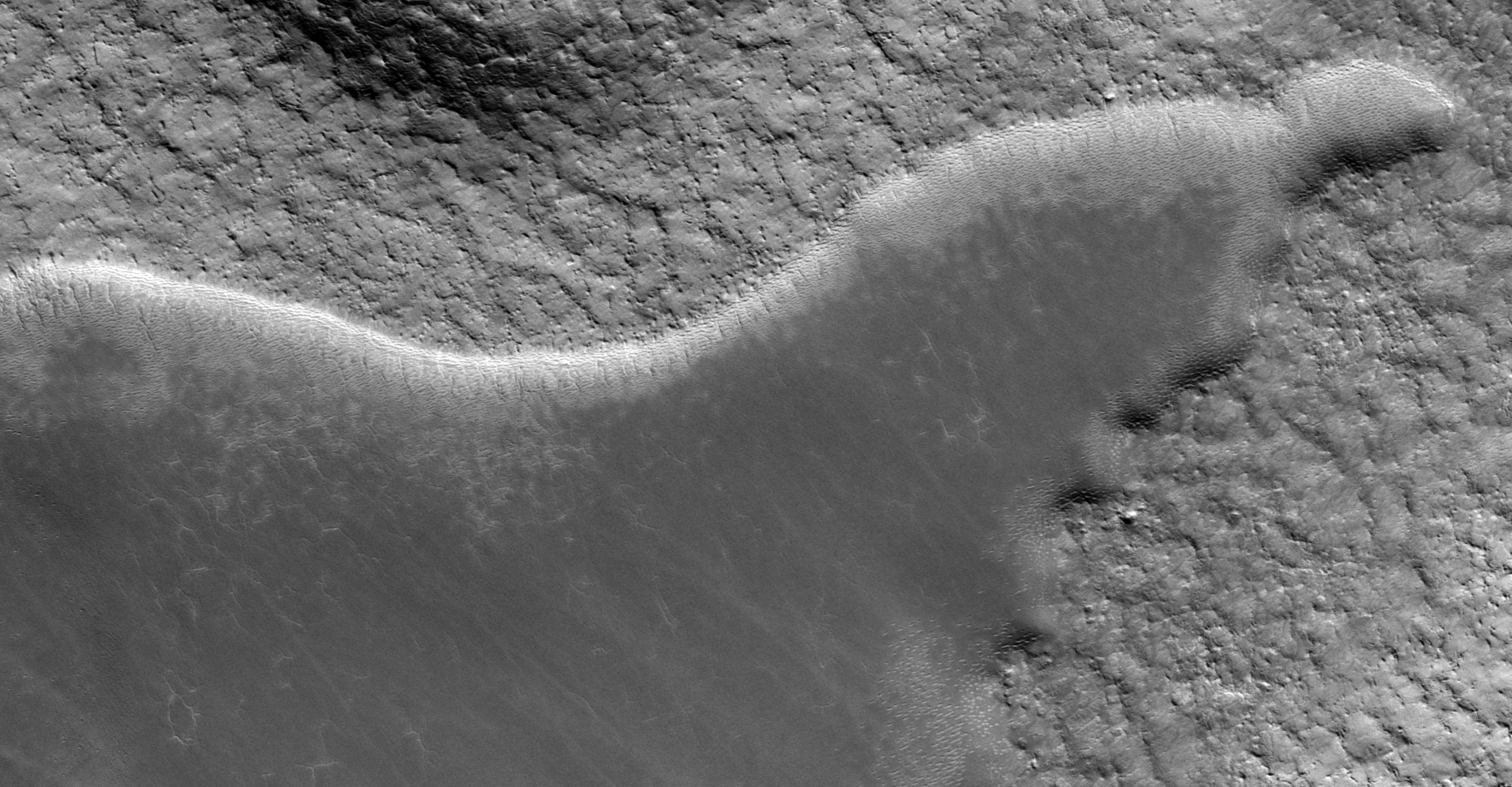
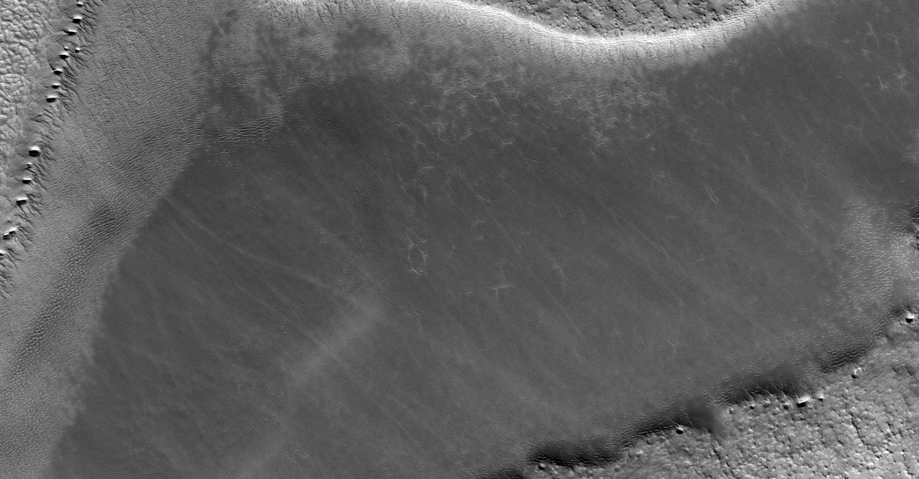
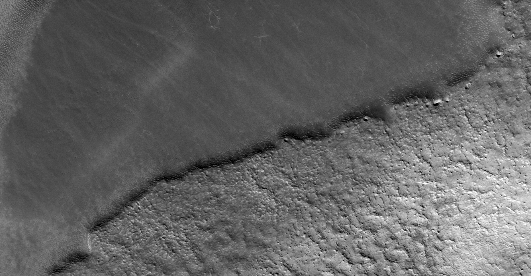
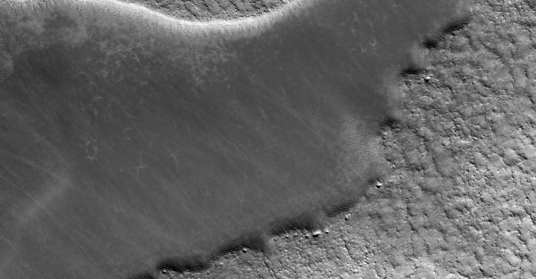
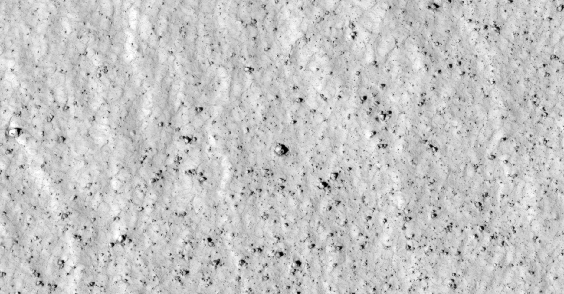
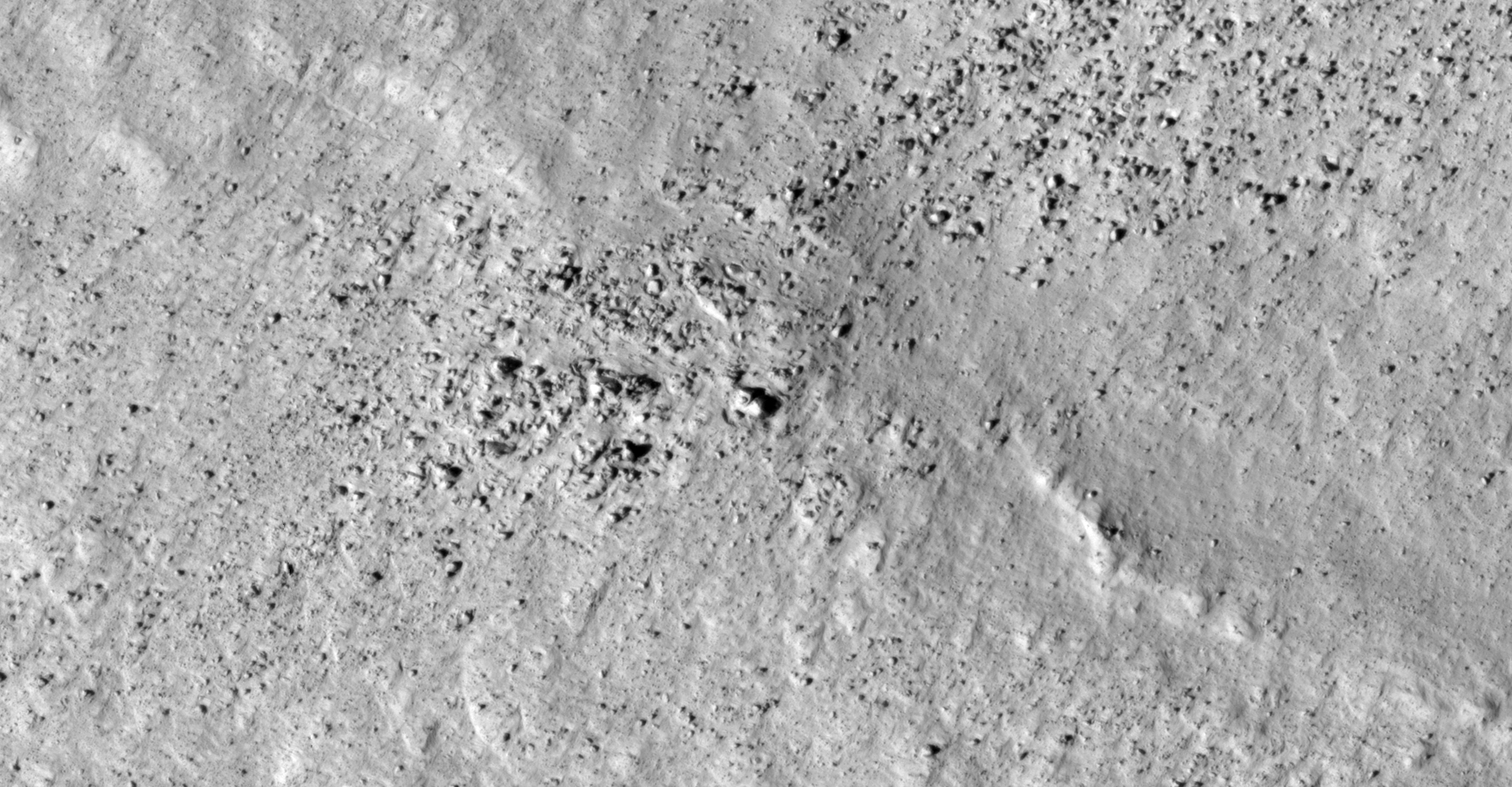
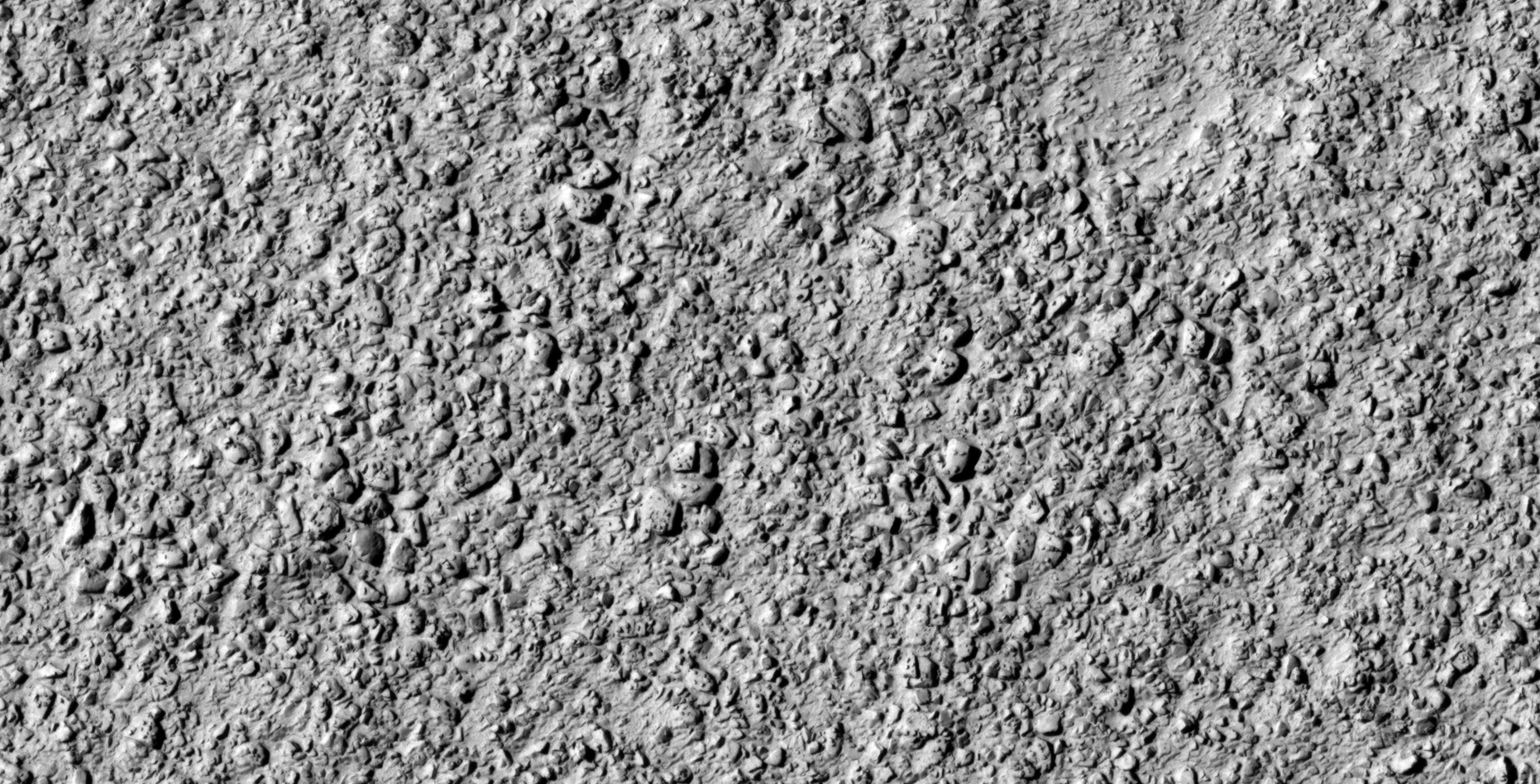
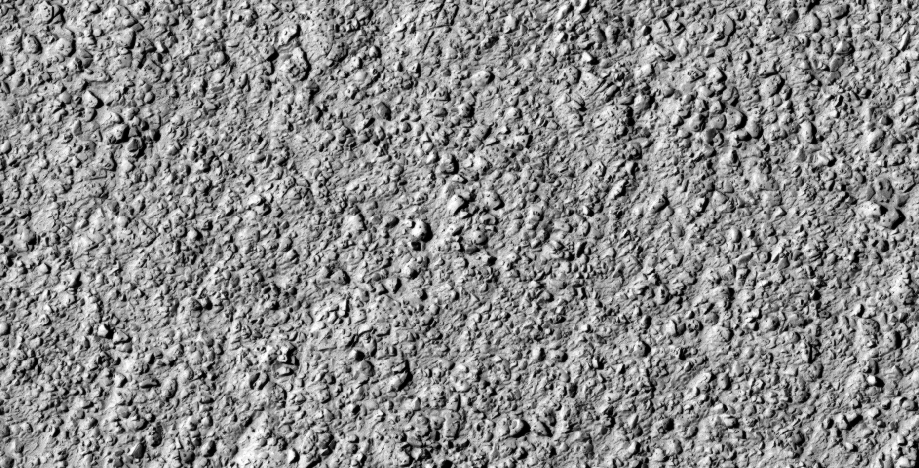
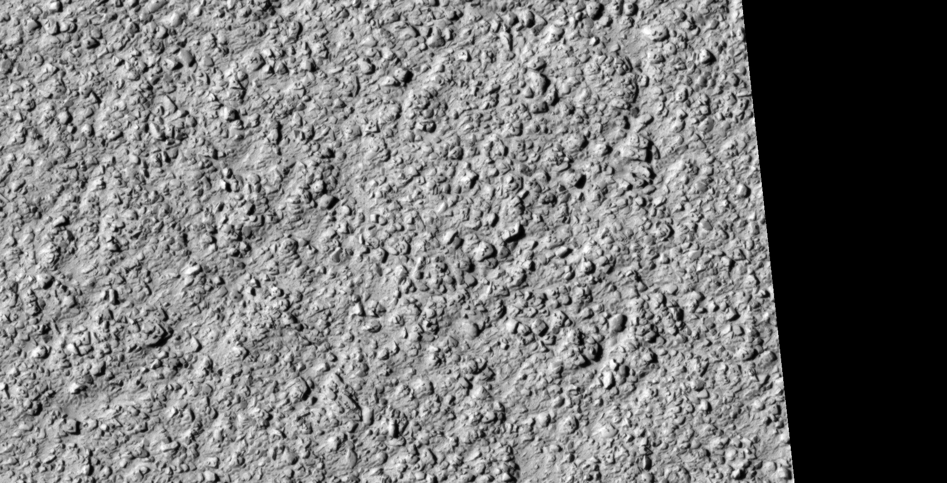
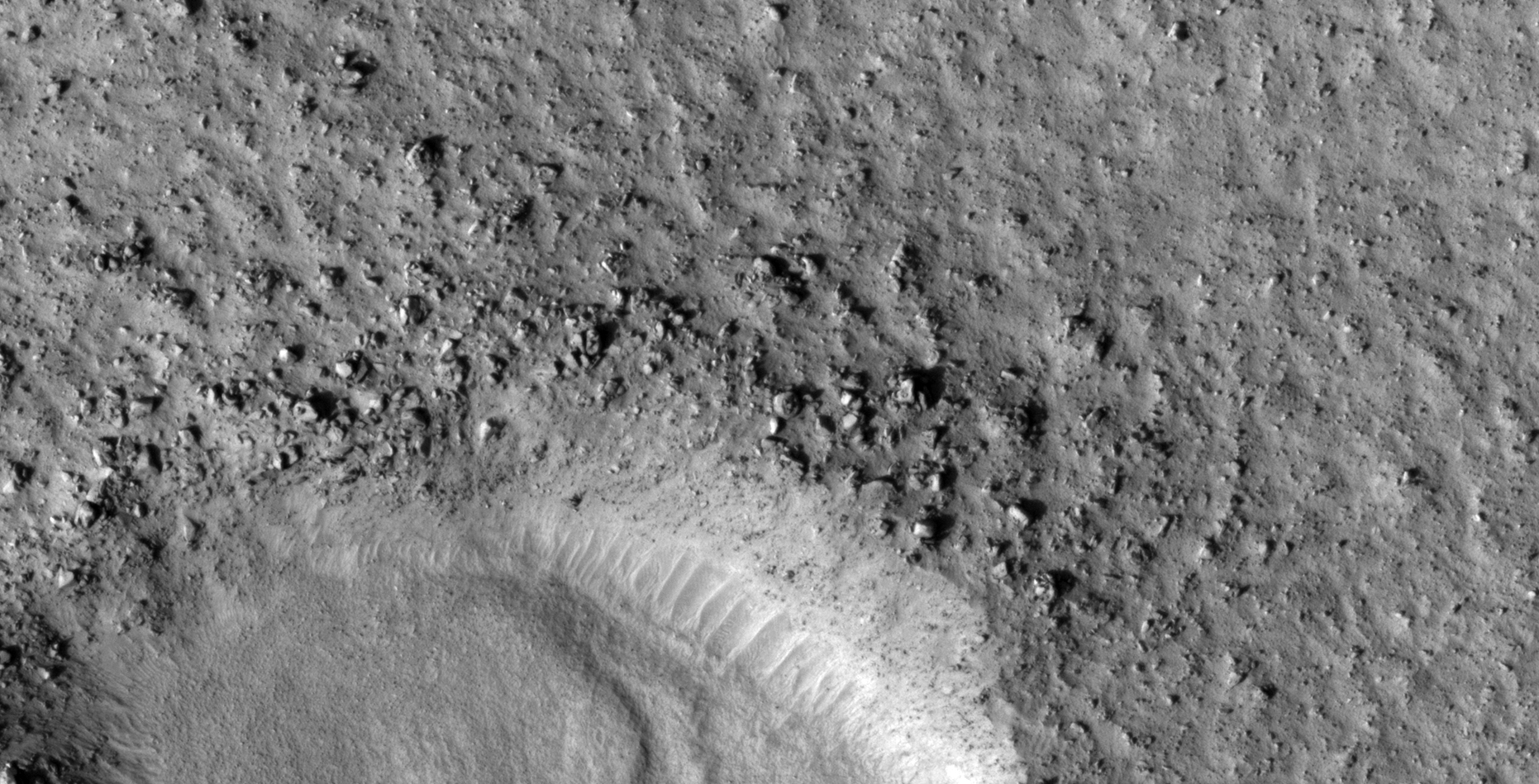
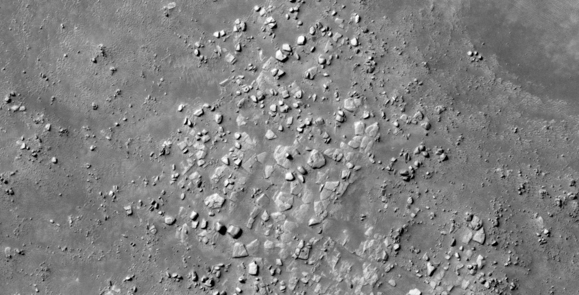
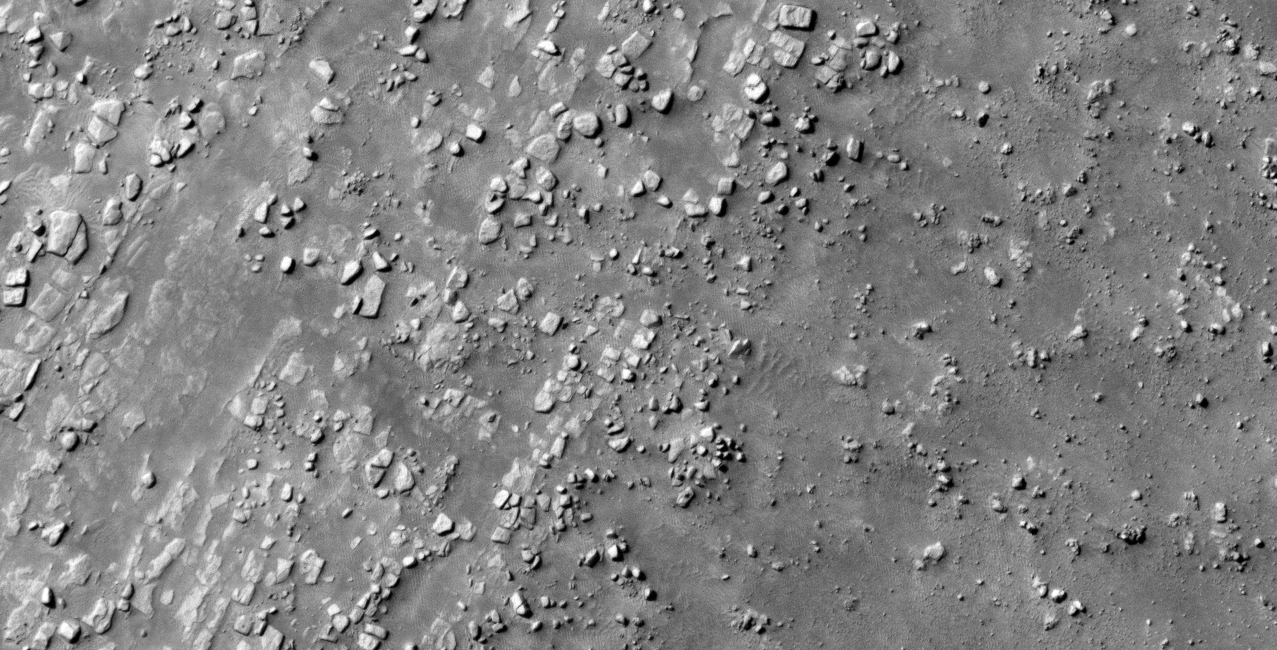
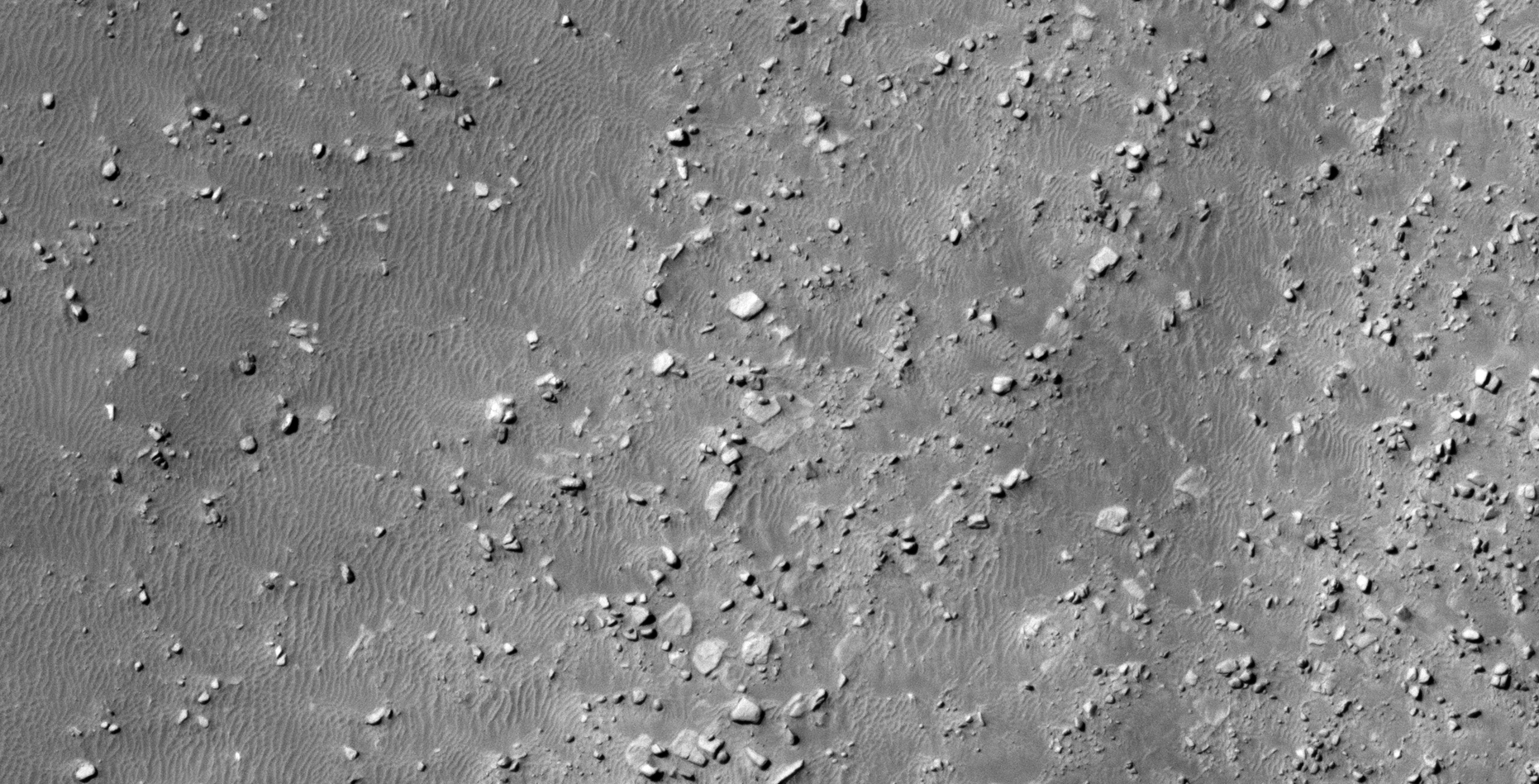
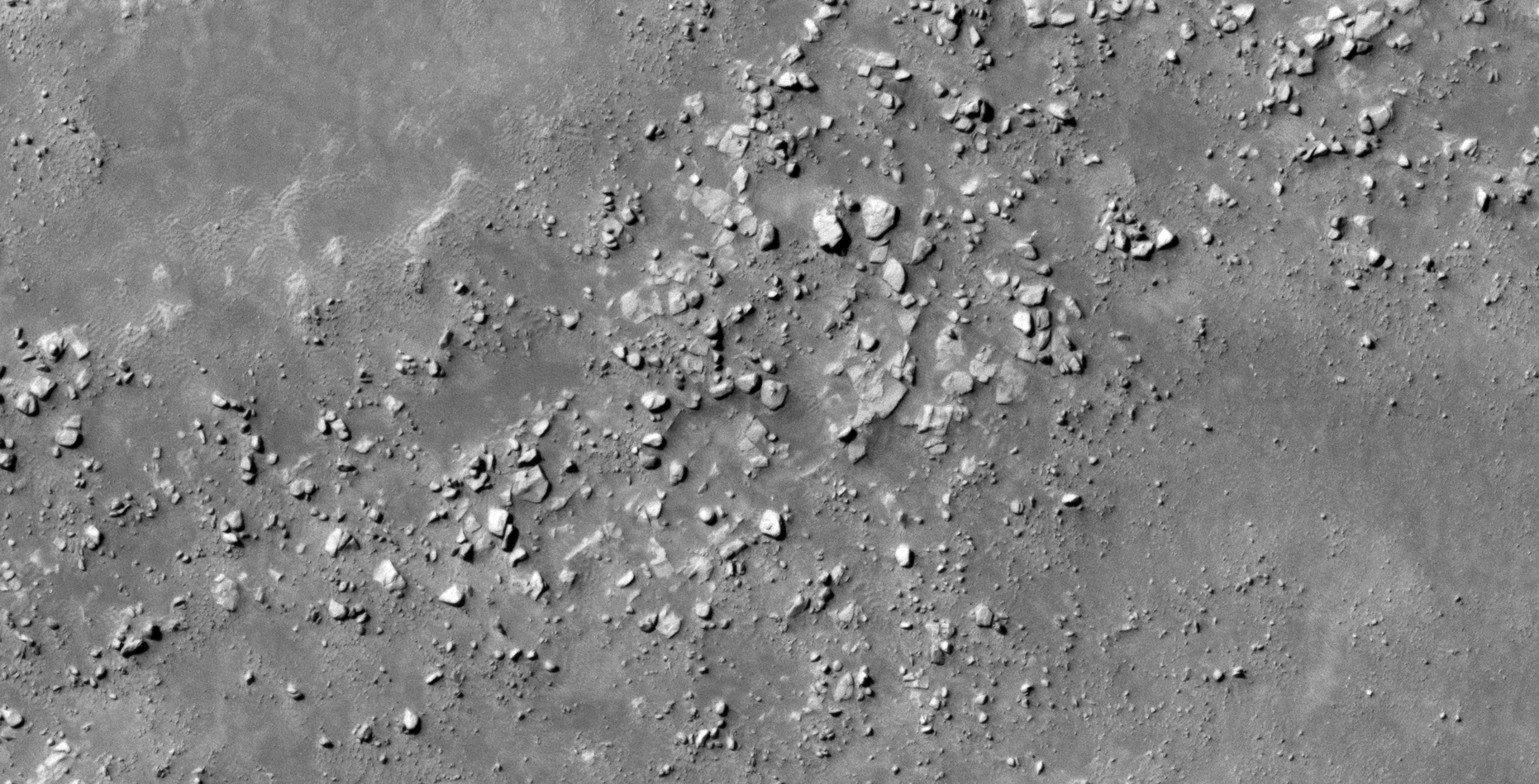
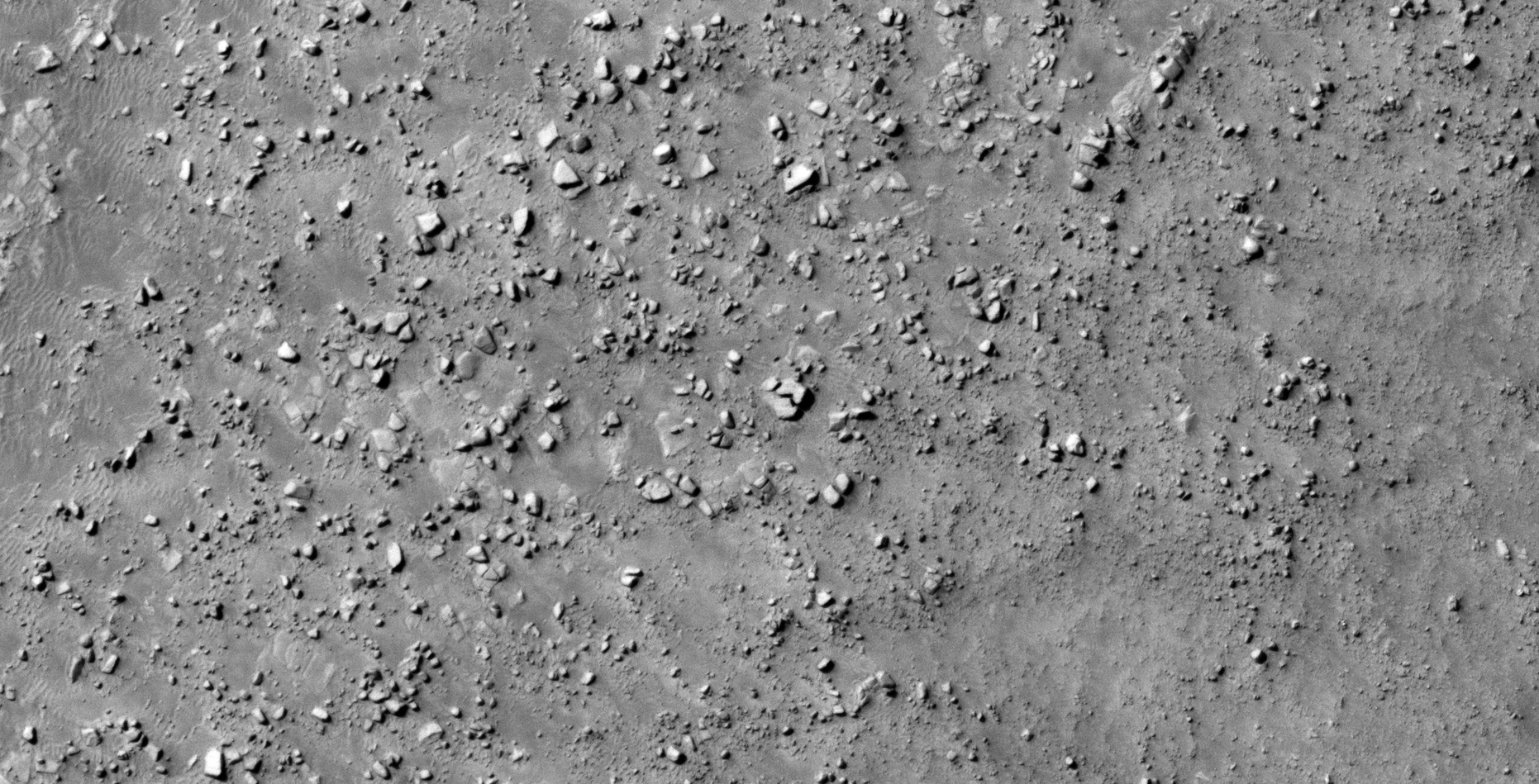
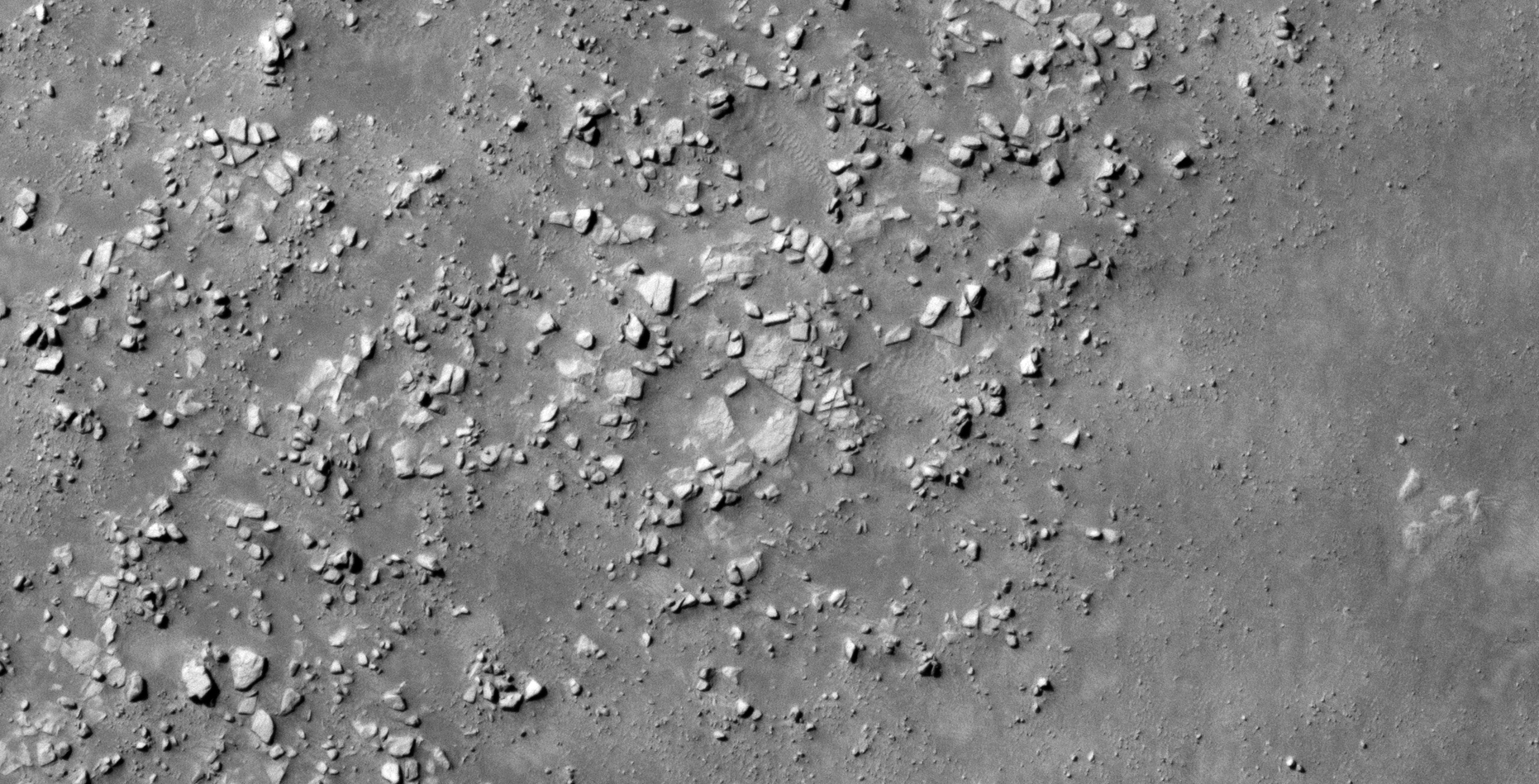
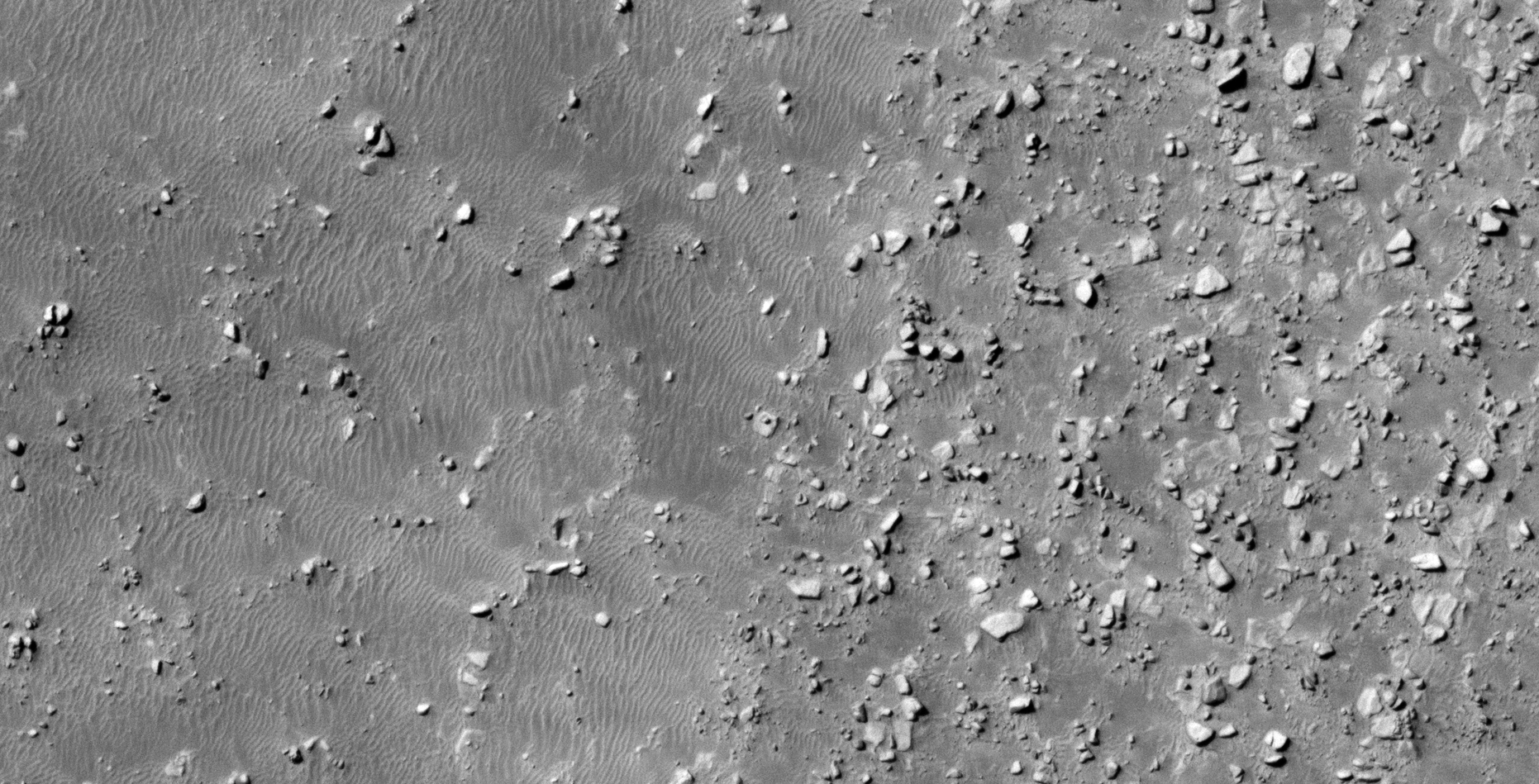
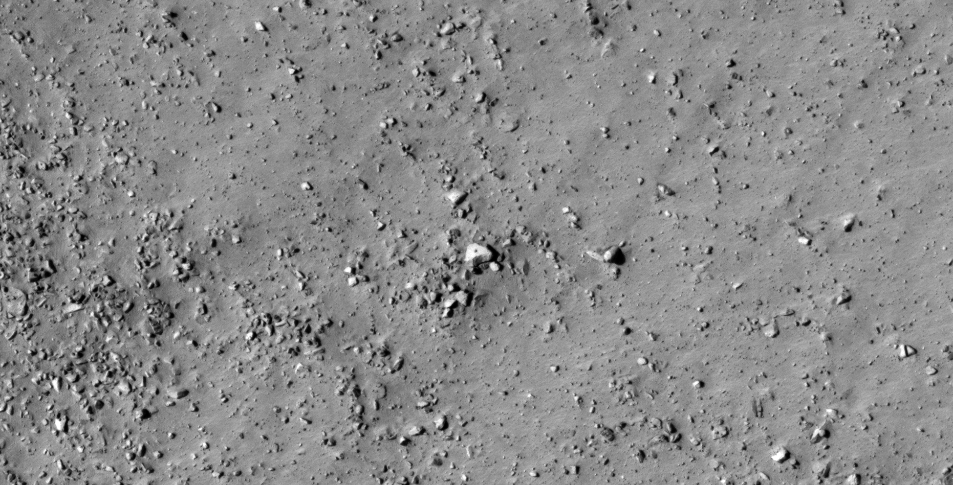
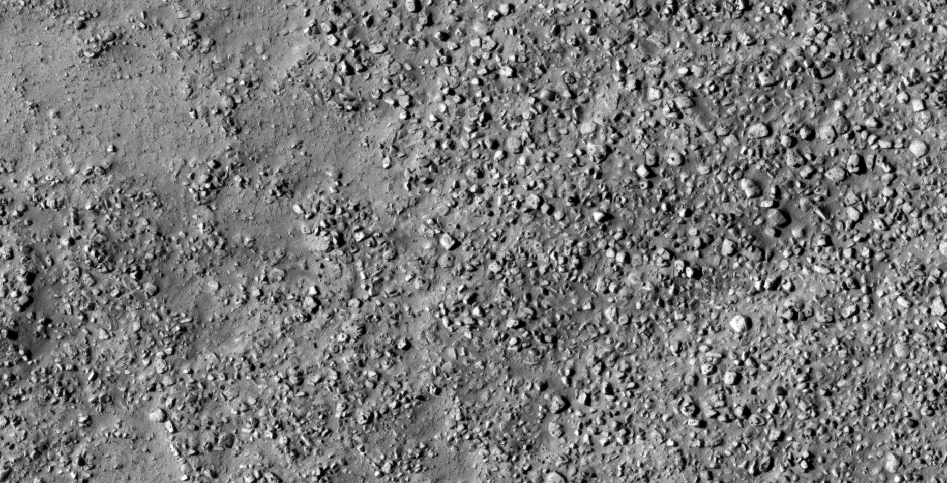
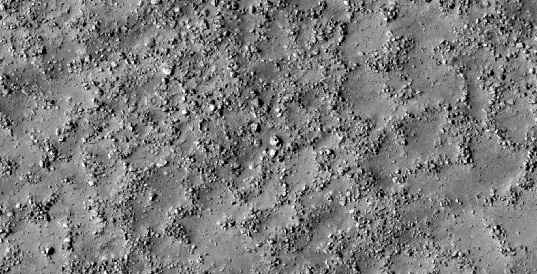
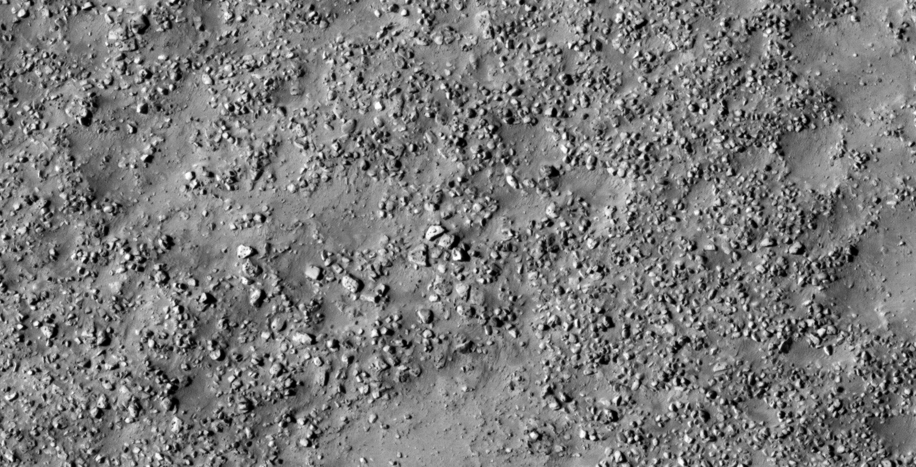
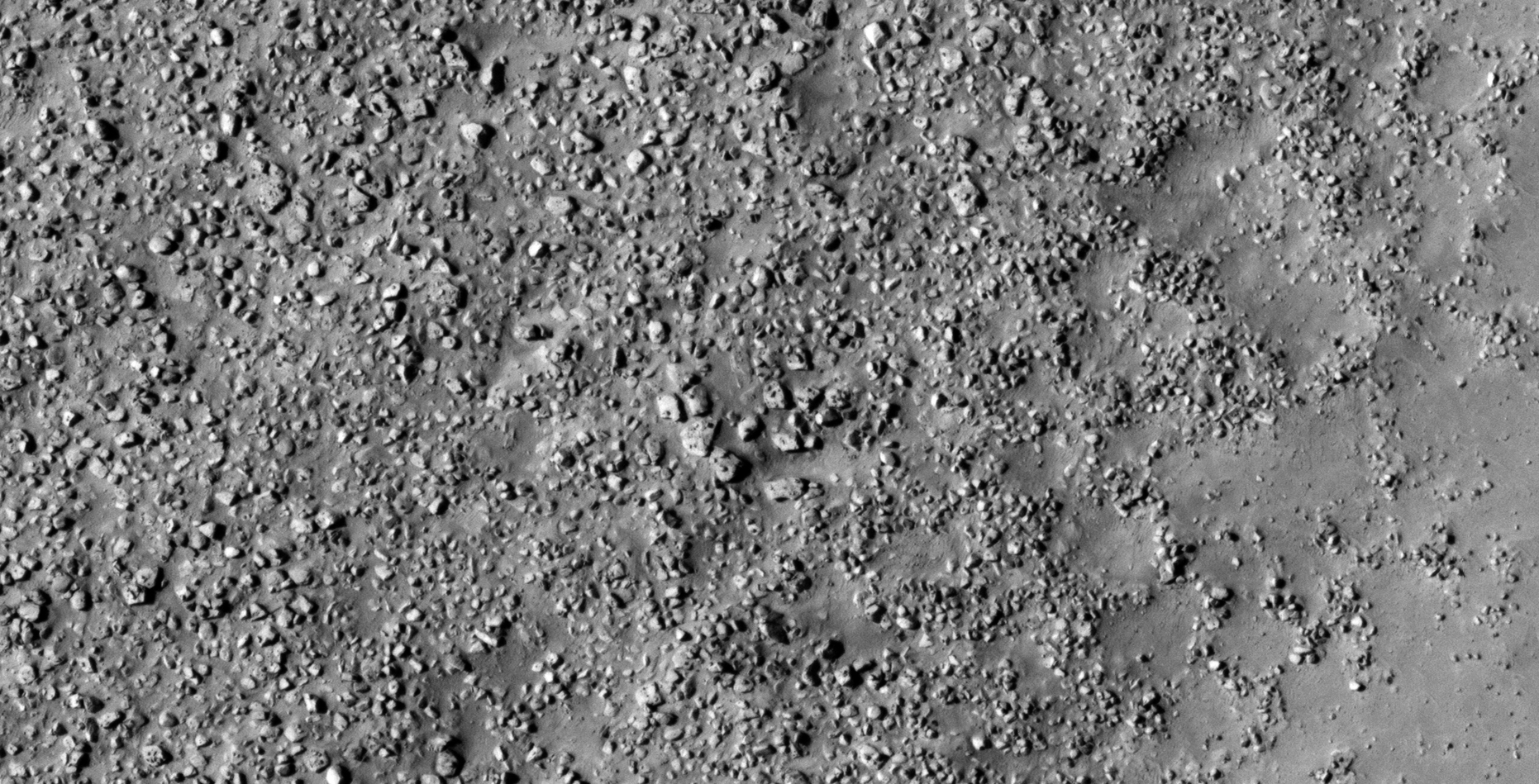
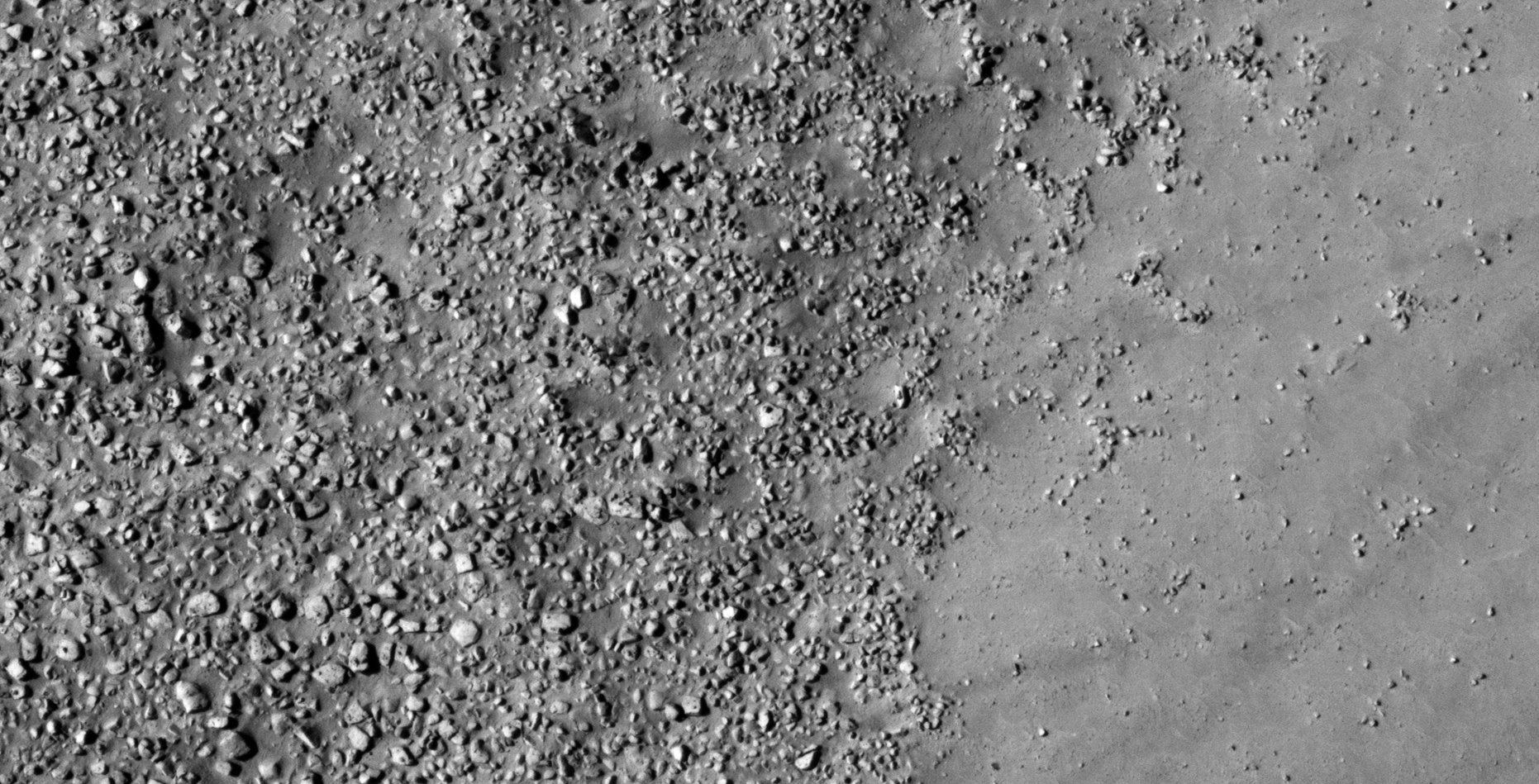
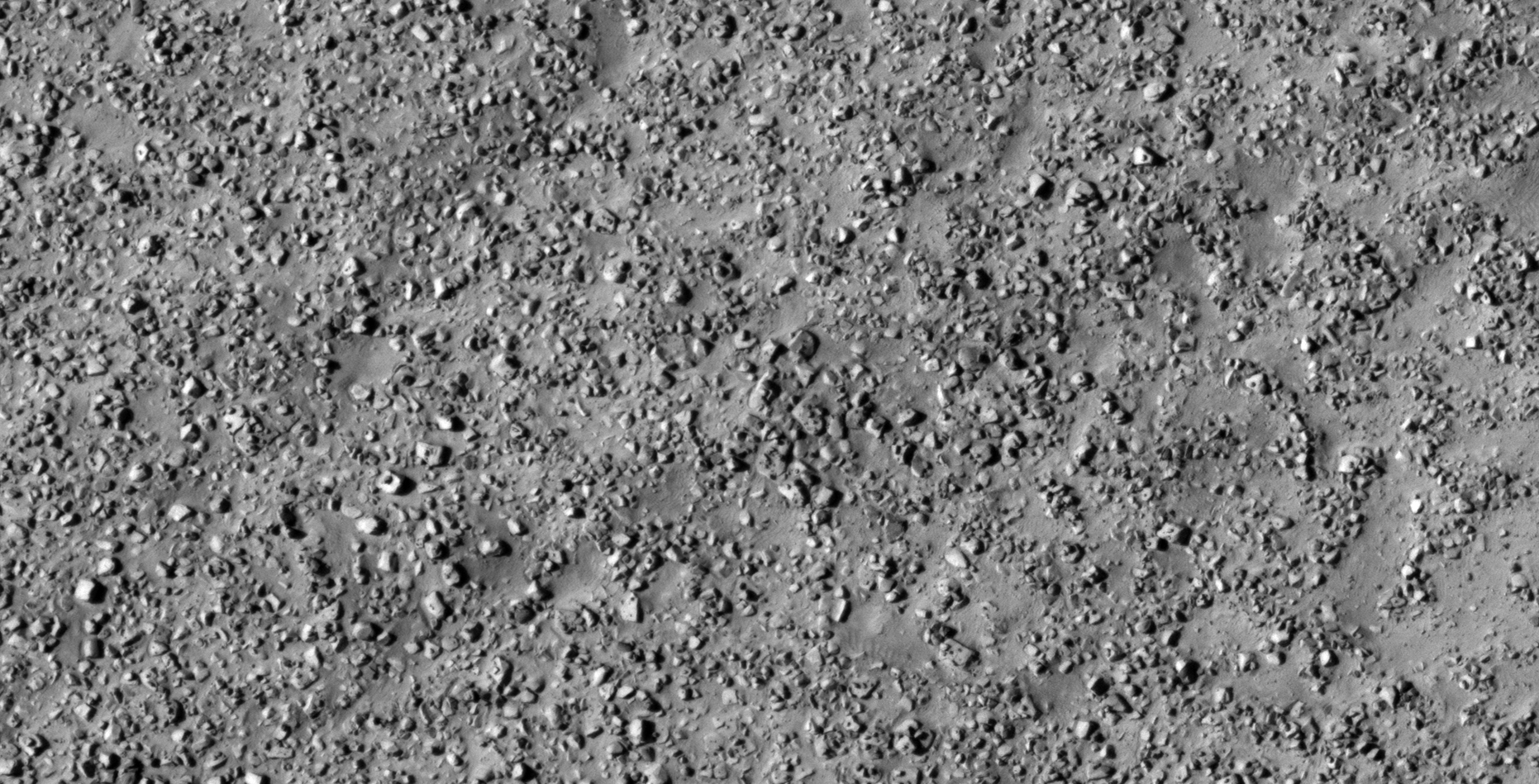
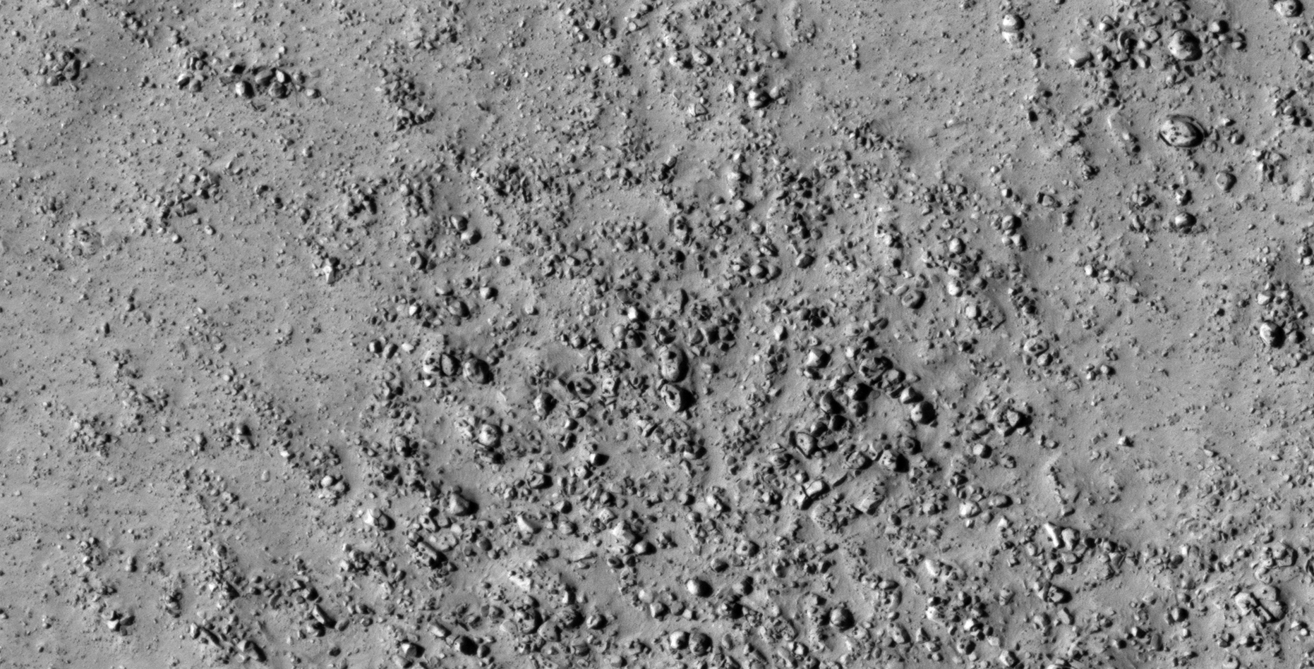
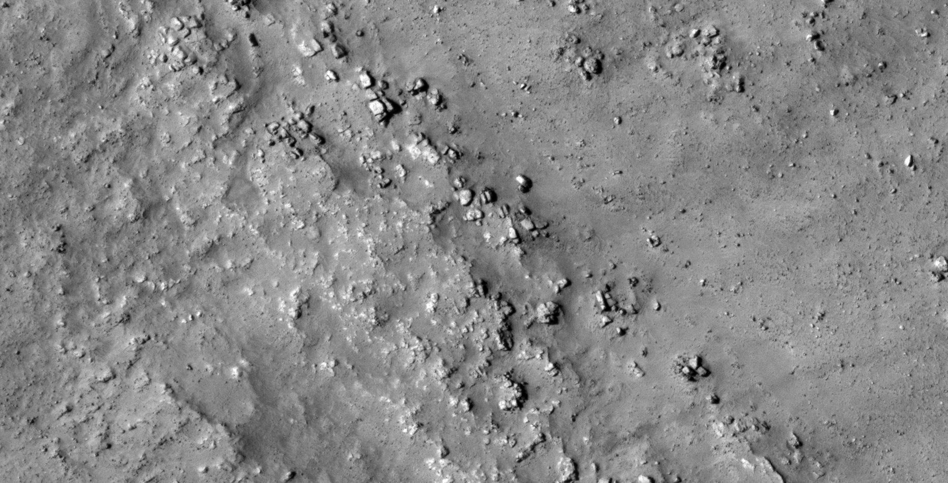
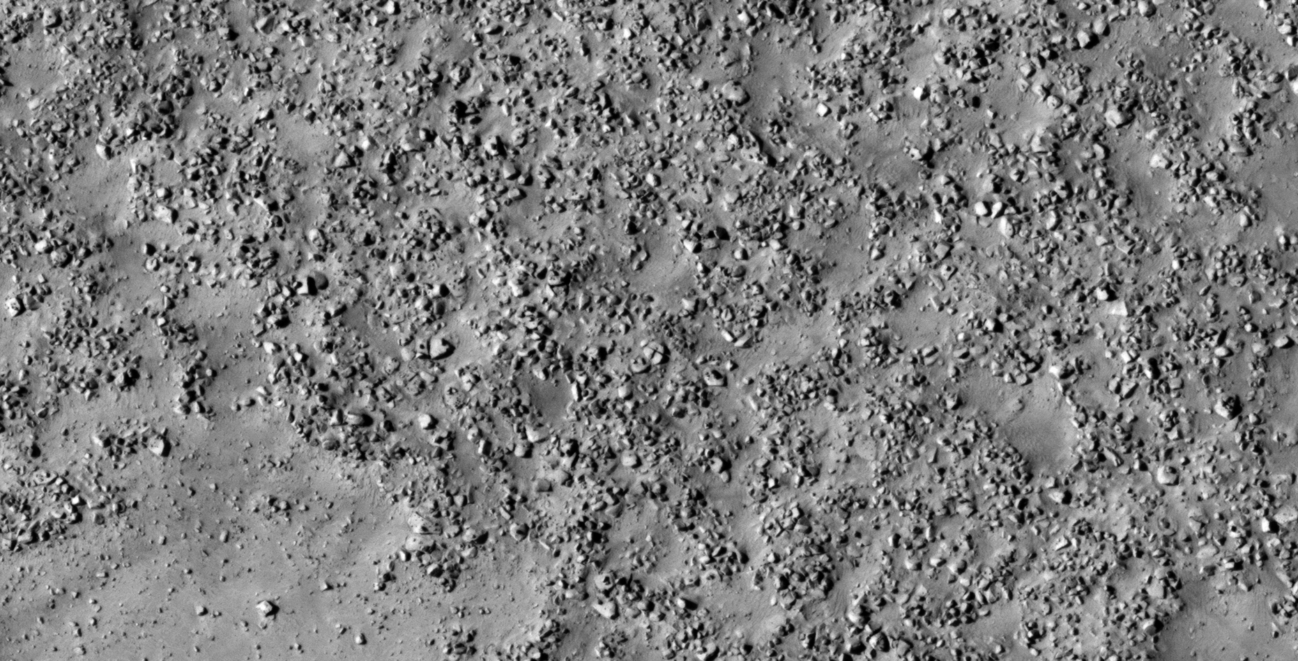
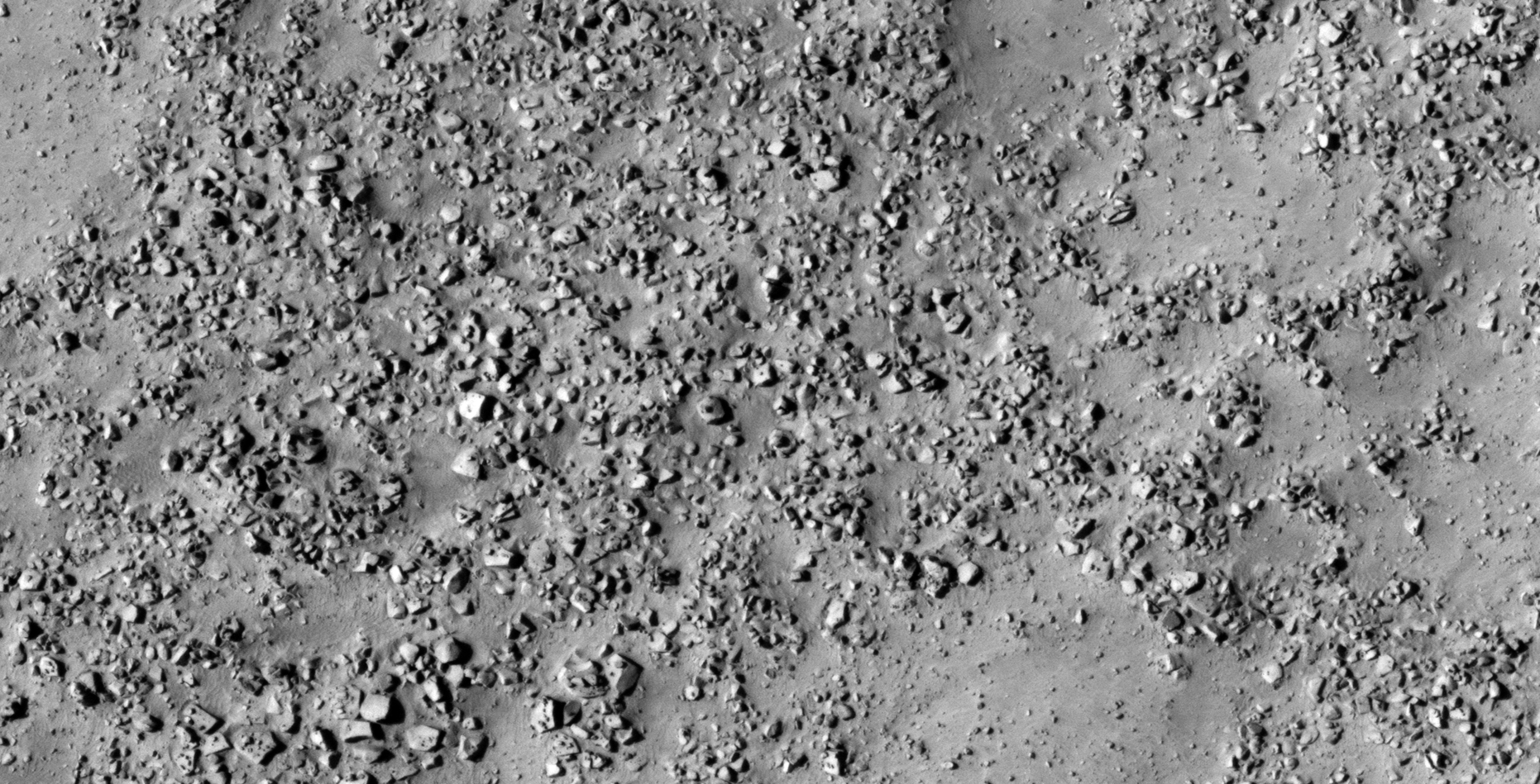
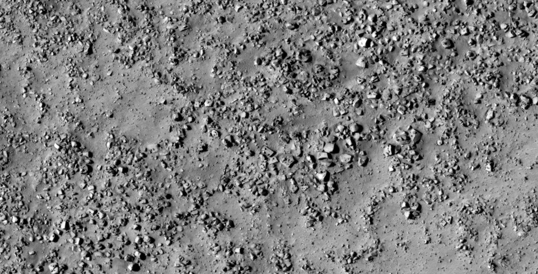
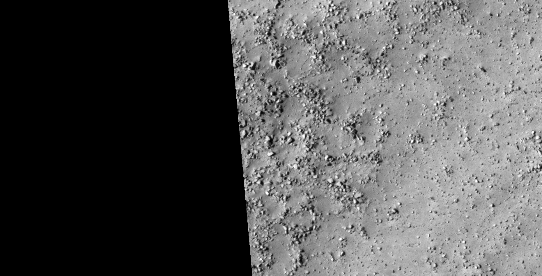
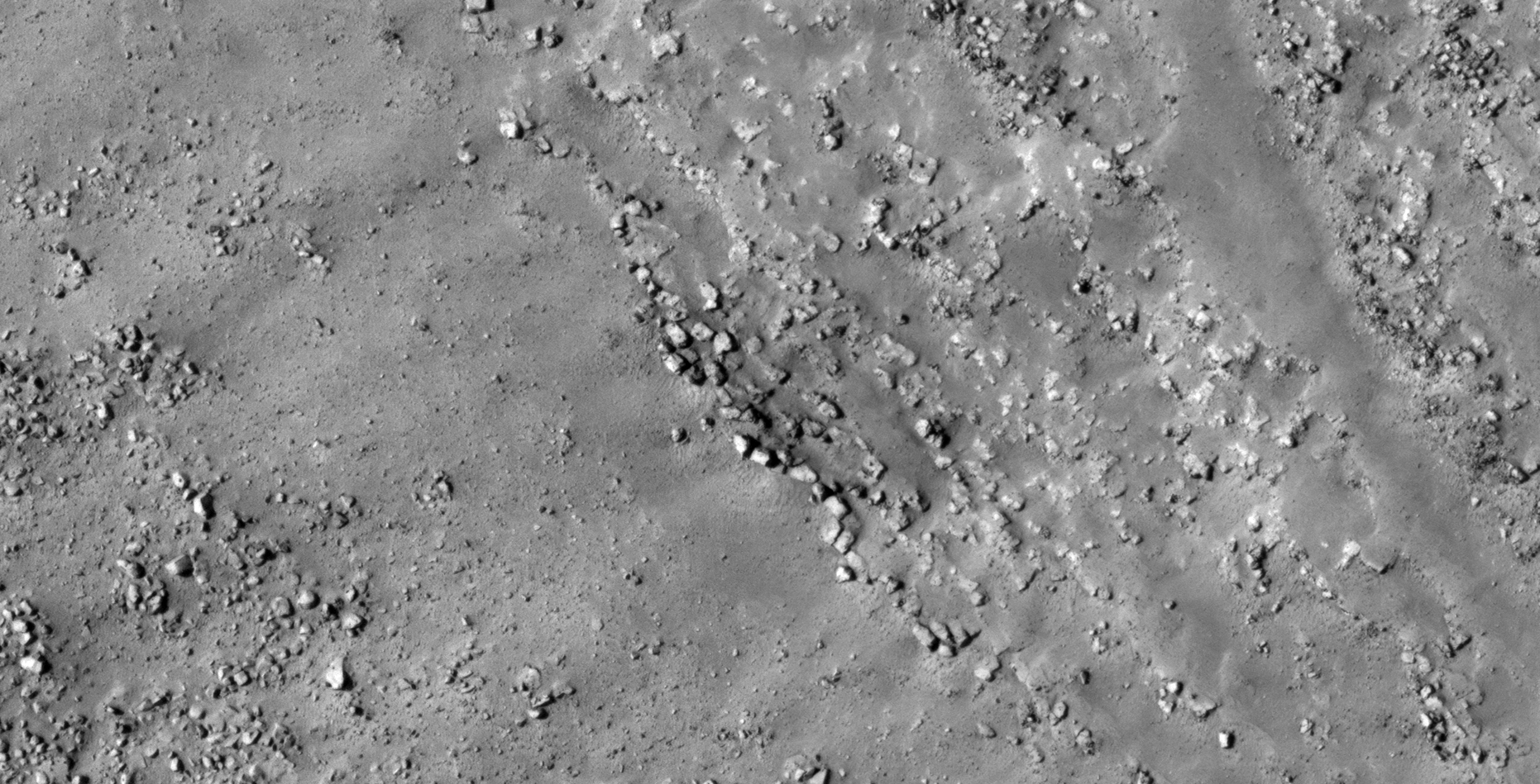
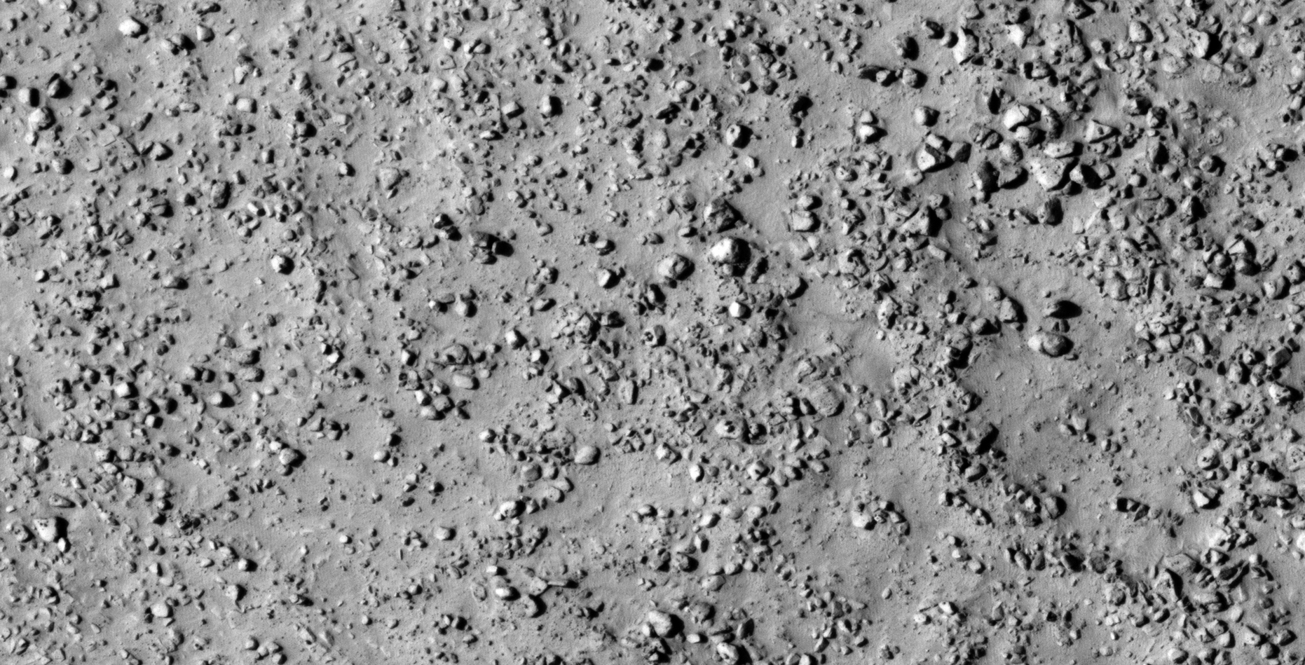
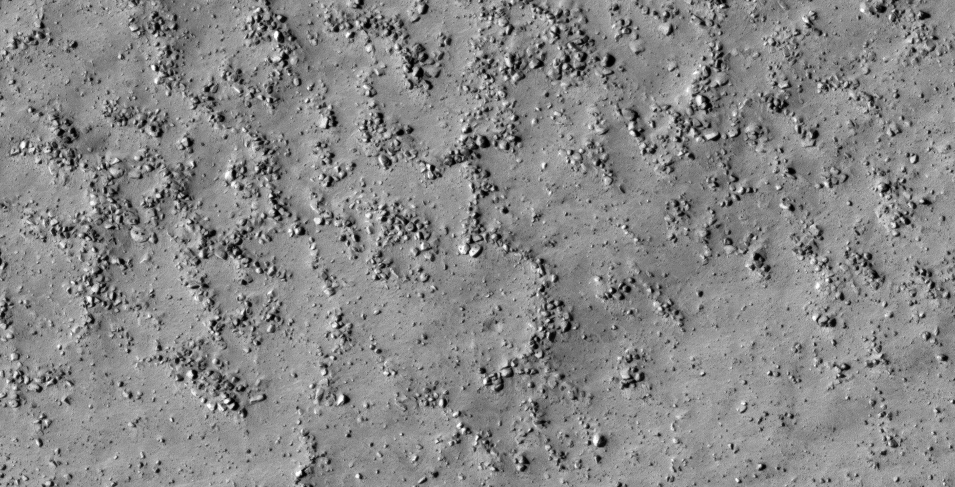
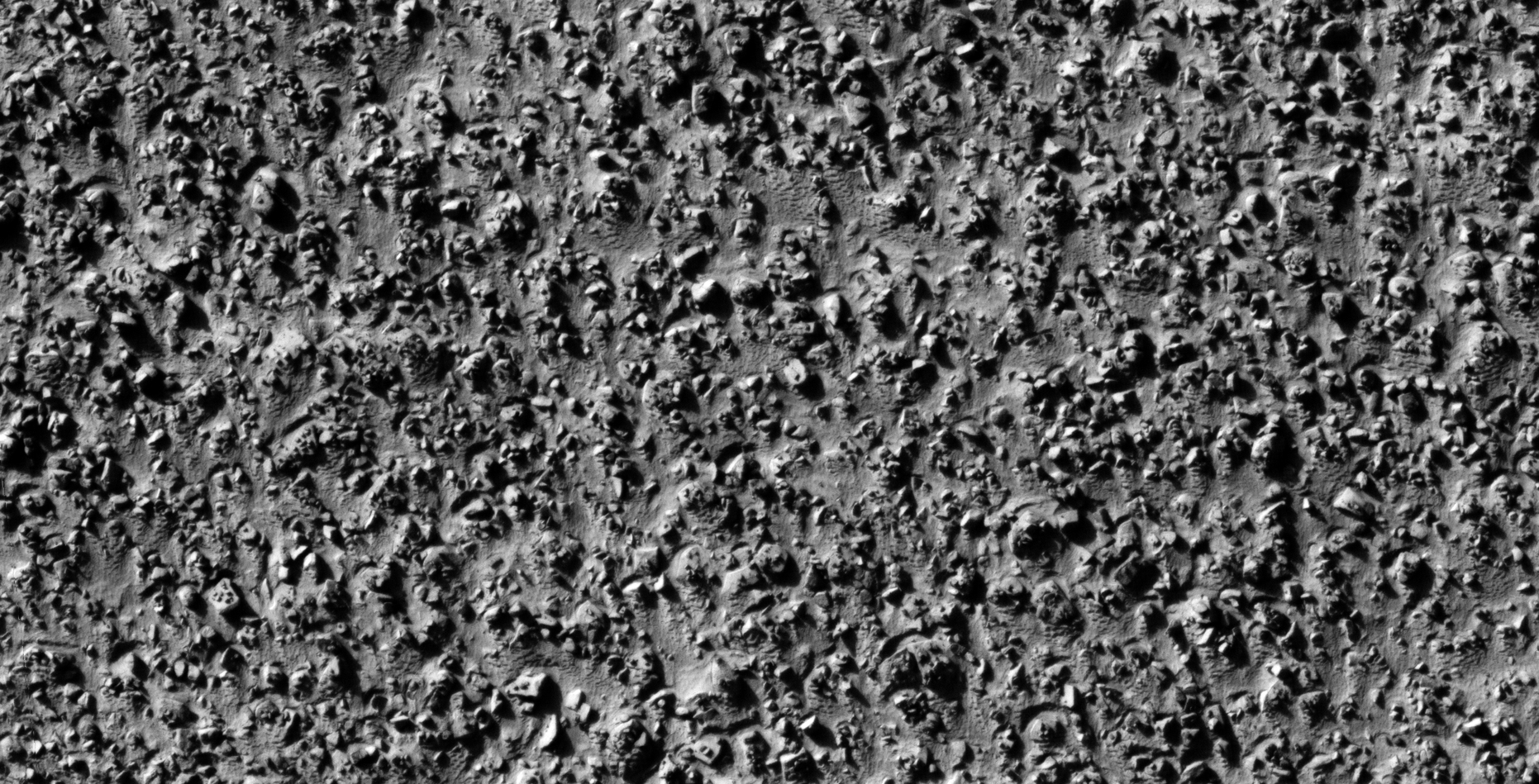
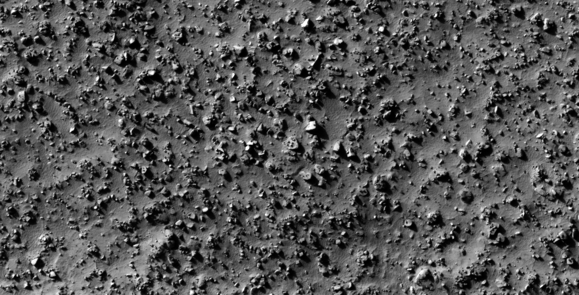
The photograph analyzed here (ESP_014272_1245) was taken by NASA’s Mars Reconnaissance Orbiter on 12 August 2009 describes the photograph as ‘Sinuous Ridge in Argyre Planitia.’
NASA speculates that these formations/anomalies were probably formed naturally. As NASA is unsure I will present evidence that these formations/anomalies are more likely artificial in nature, showing that intelligent design and construction methods were used.
Hence, I speculate that I discovered further evidence of megalithic blocks with knobs and what appears to be wreckage of some type machinery or technology.
I further speculate that some of the anomalies look like hatches and others like they may have been arranged to be covers to underground entrance-ways.
In some cases I cannot say for certain whether the respective anomalies or artefacts are megalithic or wreckage.
Anyway, everything shown here seems to have been destroyed as is the case with all the other ruins I’ve covered in previous posts/video’s.
So what are these small, features or ‘knobs?’ Here are a few theories my channel viewers and I are putting forward:
Perhaps they are artefacts caused by the manufacturing process, e.g. moulding;
Could the megaliths with knobs fit into those with holes, i.e. like Lego pieces?
Maybe they are symbolic in nature, perhaps they have cultural/spiritual significance;
Perhaps they are symbols of defiance placed their by survivors of a catastrophic global war;
Might it be that the survivors are displaying these objects in patterns to get attention;
Possible fossilized remains of some type of life-forms that need ‘personal/growing space,’ hence the regular spacing between objects;
Or perhaps these objects link sites together using some type of technology we have not yet discovered.
Large Megalithic block with rectangular feature or knob , note the smaller narrow, pillar-like object to the left wityh a circular feaure on the corner (click for larger image)Blocks in rows; it appears a small piece broke off the block to the left and there is a triangular knob or feature on the surface. This block would be symmetrical if the piece had not broken off (click for larger image)Pile of blocks, note the circular block with small knob located in the center. Just above this block there is another with three knobs arranged in a perfect triangle (click for larger image)Semi-circular megalith with a smaller semi-circular feature on top, note the geometry and symmetry in this design (click for larger image)Custom shaped block with surface features showing carved out areas (looks like a moulded object). Note the long narrow piece with straight edges located to the top right (click for larger image)Huge megalithic slab with pyramidal feature in the center (click for larger image)Multiple blocks with straight edges and right angle corners. Note the block located middle top which appears to have carved geometric features on is surface (click for larger image)Check out the small triangular knob or feature on the top of the split block. There is also a smaller feature in the center of this knob or feature. A large plectrum-shaped megalith is located to the bottom right (at the apex of this block there seems to be a circular feature) (click for larger image)Similar rectangular blocks with straight edges and right angle corners. One block has shifted away from the group (click for larger image)Top right there are multiple rectangular slabs arranged side-by-side, a small circular feature is seen on one of the slabs. Located in the bottom left is a weird, out of place, circular object. There appear to be small symbols on the surface of the block located to the top left (click for larger image)Arranged blocks side-by-side. Note the small dark circular feature in the center of the block located middle top (click for larger image)Two eroded blocks with spherical-shaped features or knobs. Note the rectangular block located middle top (click for larger image)Strange object, could it be megalithic or perhaps part of a statue, sculpture or machine? The v-shaped features on top are very unusual and there is a small dome-shaped feature or knob in the one corner (click for larger image)Another huge slab with small dome-shaped feature or knob located in the center (click for larger image)Layered object, could it be megalithic or technological in nature? Note the weird shape of the one long side of the center object, the smaller object with a rounded long edge next to it and the smaller dome-shaped feature or knob in the one corner (click for larger image)Another, almost perfectly symmetrical plectrum-shaped megalithic slab. The surface appears to have small symbols or features on it (click for larger image)More megalithic slabs arranged and placed in rows. Note the narrow rectangular, wedge-shaped object standing on the middle slab (click for larger image)Custom-made megalithic slabs arranged in a pattern around a center piece. Note the other slabs with smaller features or knobs located in their centers (click for larger image)Another semi-circular megalithic block with small feature or knob located in the center (click for larger image)Another semi-circular megalithic block with feature or knob located in the center. A very small dome-shaped feature is seen in the center of the feature or knob (click for larger image)Another huge slab with a small feature or knob located in the center of the one corner (click for larger image)Check out the elliptical dome-shaped feature in the center of this block (click for larger image)A small chevron-shaped feature is seen on this rectangular block with straight edges and right angle corners. Note the small piece carved out of the one corner (click for larger image)Another semi-circular block with dome-shaped feature or knob in the center (click for larger image)Metallic plates/debris? Note the bends, edges and ripped appearance (click for larger image)Rectangular disc-shaped object with a rounded corner and small dome-shaped feature or knob located in the center (click for larger image)Two matching rectangular megalithic blocks (click for larger image)Another strange feature or knob with small dome-shaped part in the center on top of a large, hexagonal-shaped slab with rounded corner (click for larger image)Partially buried/covered slab with a small pyramidal-shaped feature or knob located in the center (click for larger image)Rectangular megalith is rounded corner and stepped surface (click for larger image)Bent metal plate? A small dome-shaped feature is seen in the center (click for larger image)Another semi-circular object with v-shaped feature on top (click for larger image)Two huge megalithic blocks cut to fit together, note the v-shaped pattern of the join (click for larger image)Check out the diamond shaped pattern cut or carved out of the larger slab. A small feature or knob is located in the center of the diamond shape (click for larger image)Almost perfect square block with spherical-shaped object in the center (click for larger image)Another hexagonal-shaped object, could this be a metal plate or megalithic slab? There is also a small dome-shaped feature in the center (click for larger image)Three blocks curt to fit together (click for larger image)Megalithic block, piece of a sculpture or wreckage? Check out the geometry in the design of this object. A rhombic-shaped piece is sticking out of the one side (click for larger image)Another alignment of objects in a geometric shape. Note the long narrow feature in the center of larger block (click for larger image)Separate arrangement of custom, made to fit blocks. Note the v-shaped feature on the small triangular block located to the bottom center of the image. More blocks with knobs are also seen scattered about (click for larger image)Two dome-shaped feature or knobs on top of a hexagonal-shaped megalithic slab. Note the straight edges and geometry. A smaller rectangular object with small feature on knob is located above the larger slab (click for larger image)Another small dome-shaped feature with smaller circular part on top of the feature located on the surface of a rectangular block (click for larger image)A multi-carved corner megalithic block or destroyed machine? Check out the strange corners of the middle top object, the small dome-like feature on top and the long narrow rectangular piece to the left of the object. There are what appear to be two pieces of bent metal plate next to the object in the center of the image (click for larger image)A hexagonal-shaped block with small feature or knob on top (click for larger image)Another semi-circular block with small feature or knob on top (click for larger image)A huge megalithic block with what appear to be symbols on the surface (click for larger image)An almost perfect square megalith with straight edges and right angle corners, there is a very small circular feature in the center of the block. Could those other smaller features on the surface be symbols? (click for larger image)Stonehenge-type structure? These objects are arranged in a geometric cube pattern (click for larger image)Strange rectangular feature on top of a ‘split’ megalithic slab, two smaller features or knobs can the seen next to this feature running parallel with the ‘split’ line (click for larger image)Three objects with equal width arranged in a row. The bottom two objects look similar in shape (click for larger image)
Images saved from within HiView or CTX viewer do not include image scale indicators. The image scale indicators I include in images are based on the official resolutions provided by NASA and although I strive to be as accurate as possible there may be slight deviations from the actual scale. Image scale indicators are included as a size approximation tool only.
Geometry lines are mapped as accurately as possible using the limited information, data and mapping tools available at the time, therefore the lines may deviate from target sites by a few kilometres. Revisions may be made in the future as new, more precise information, data and mapping tools become available.
Many or all of the anomalies/artefacts covered in this presentation may be naturally occurring geological features caused by some type of geological processes, however due to the lack of specific information from the source we can only speculate whether these are all natural or some artificial in nature.
In cases where I say an anomaly looks like something I’m attempting to clarify what I see and not specifically that the anomaly is what I say it looks like.
My intention is only to share anomalies I’ve discovered on Mars and not to convince anyone that there is or was a civilization on Mars.
As Will Farrar from WhatsUpInTheSky says: “I see what I see, you see what you see.”
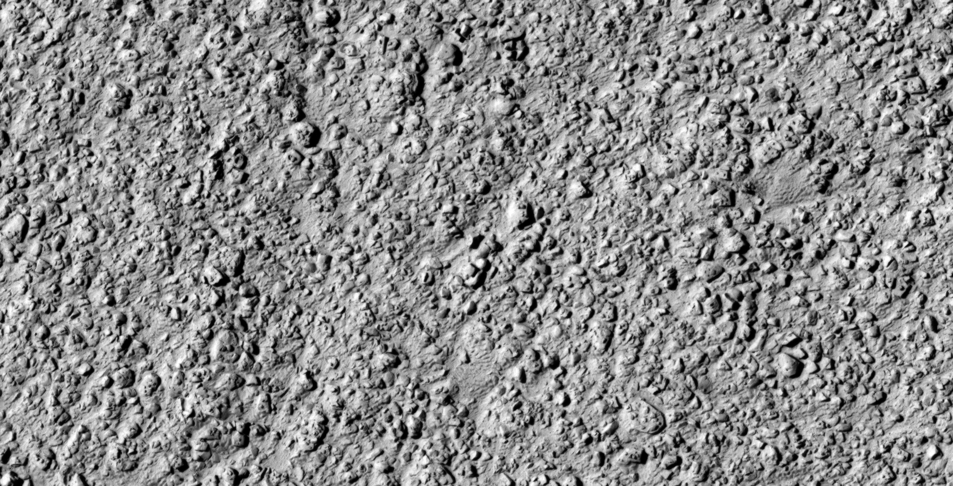
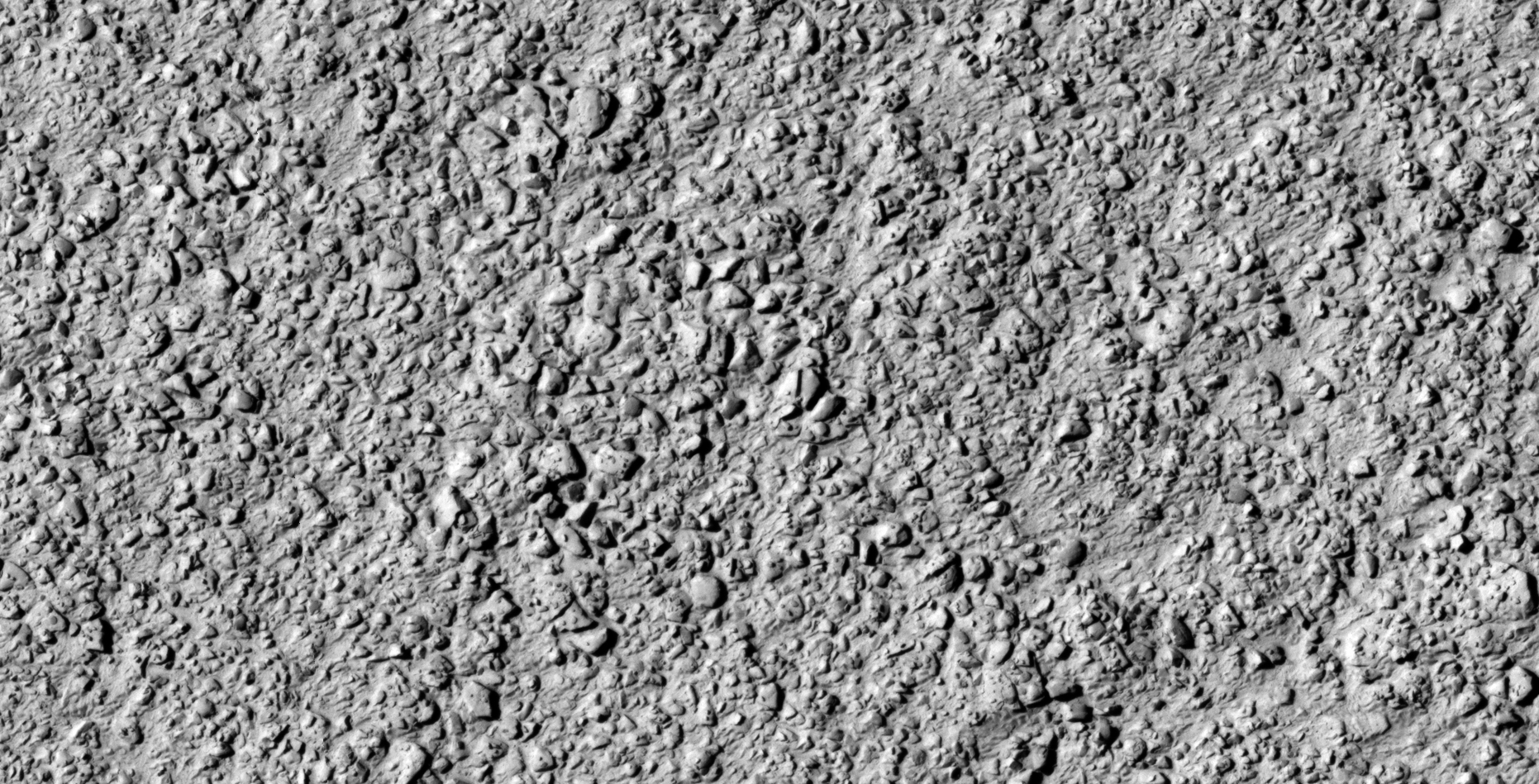
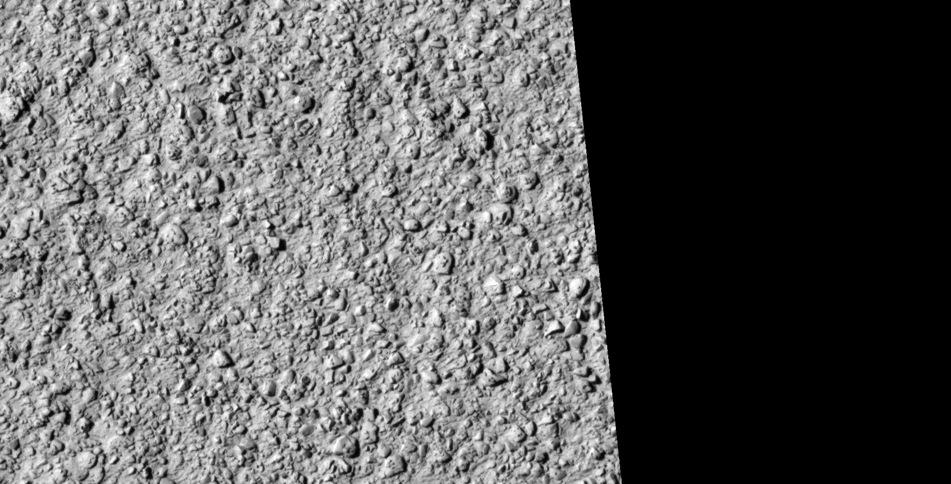
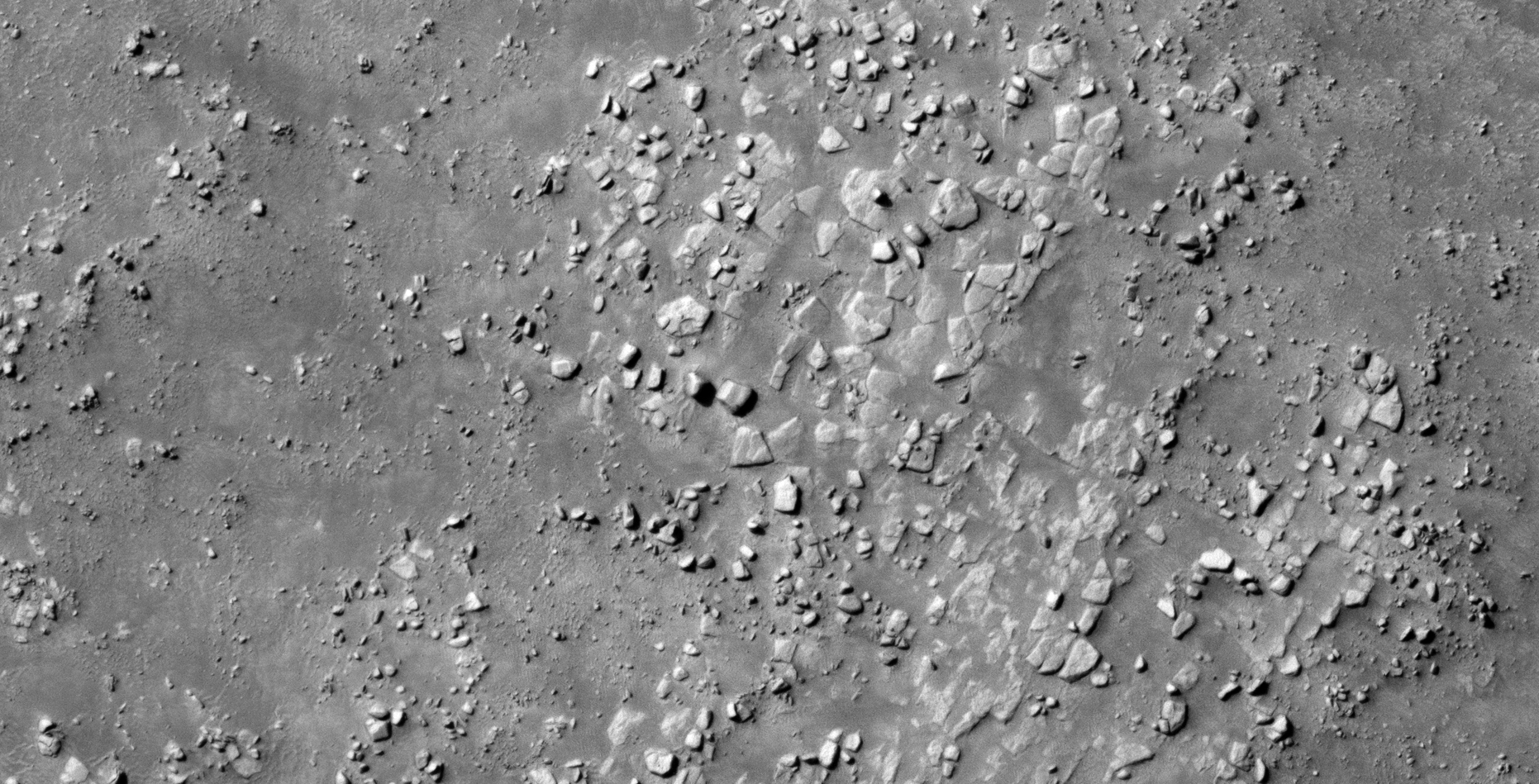
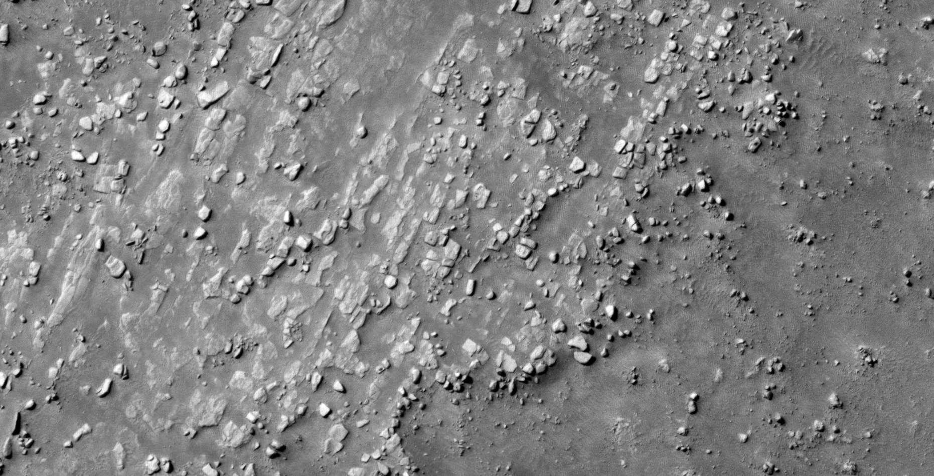
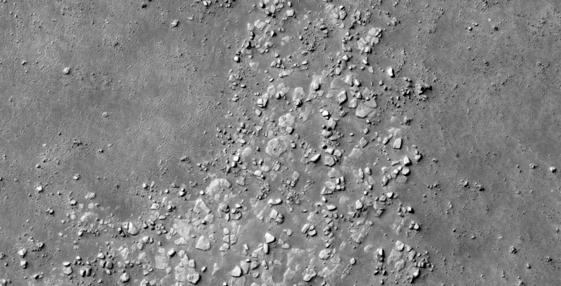
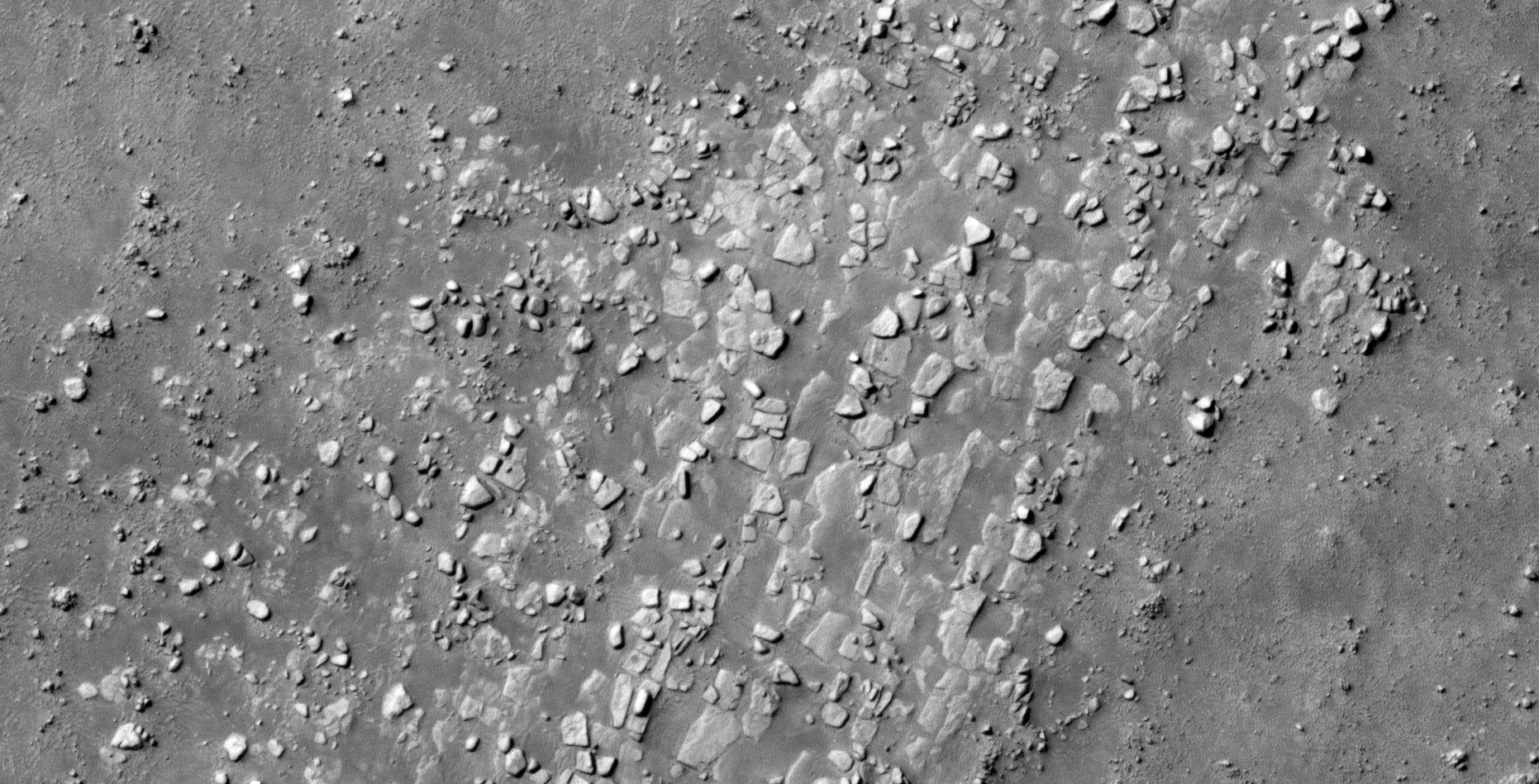
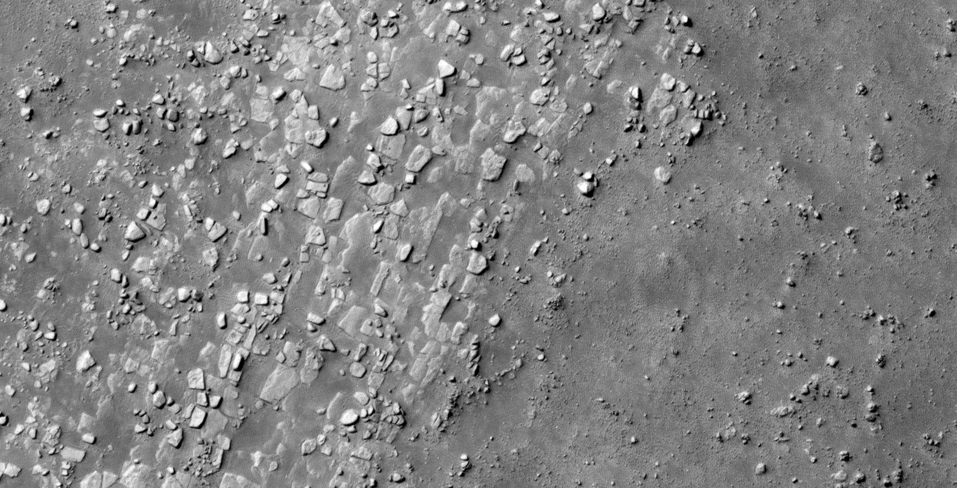
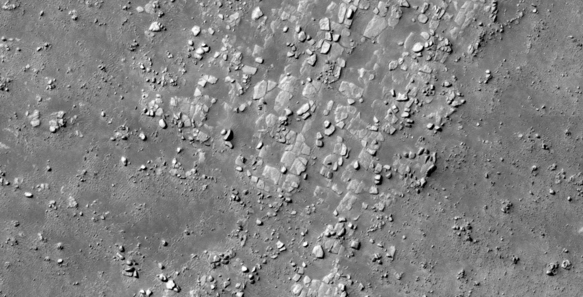
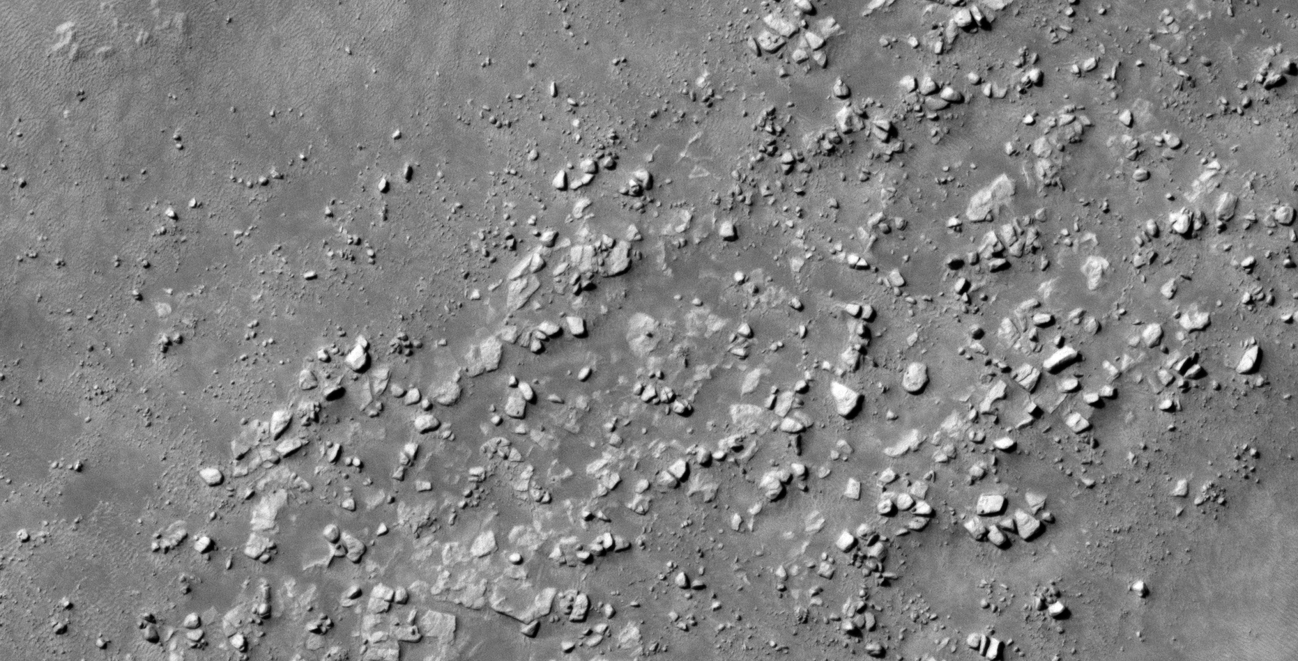
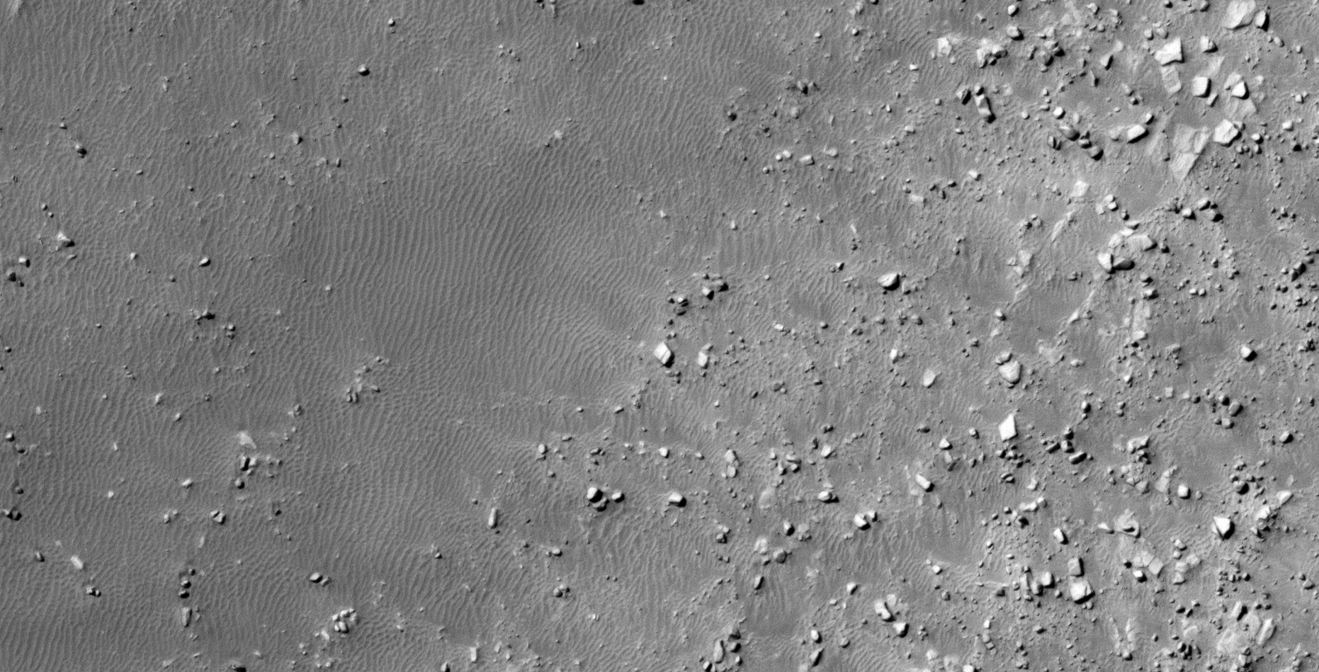
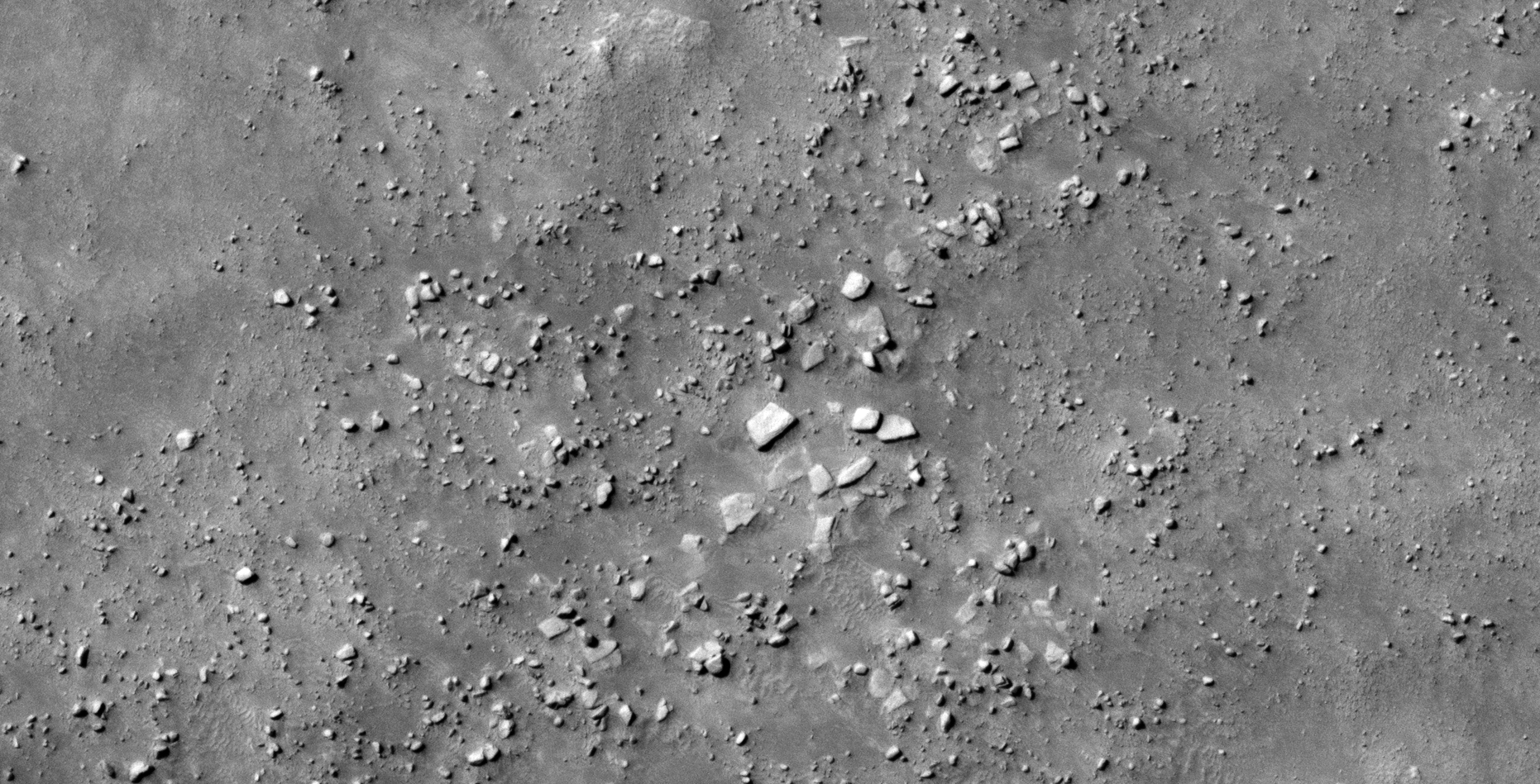
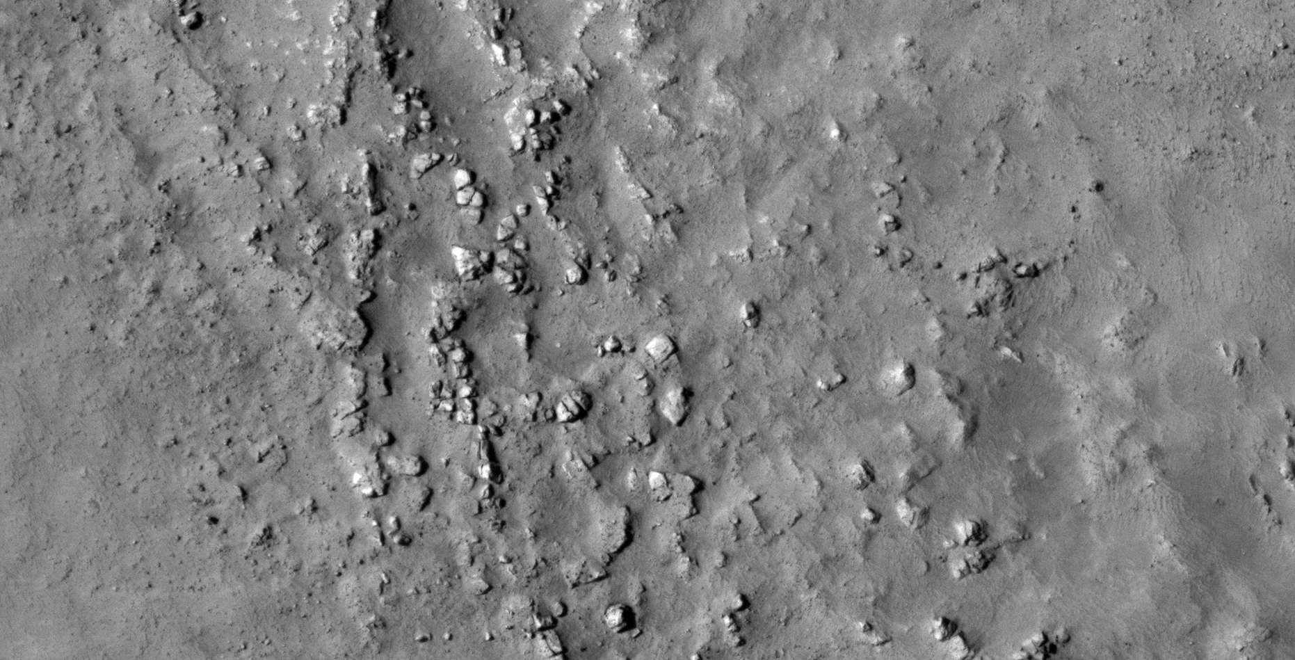
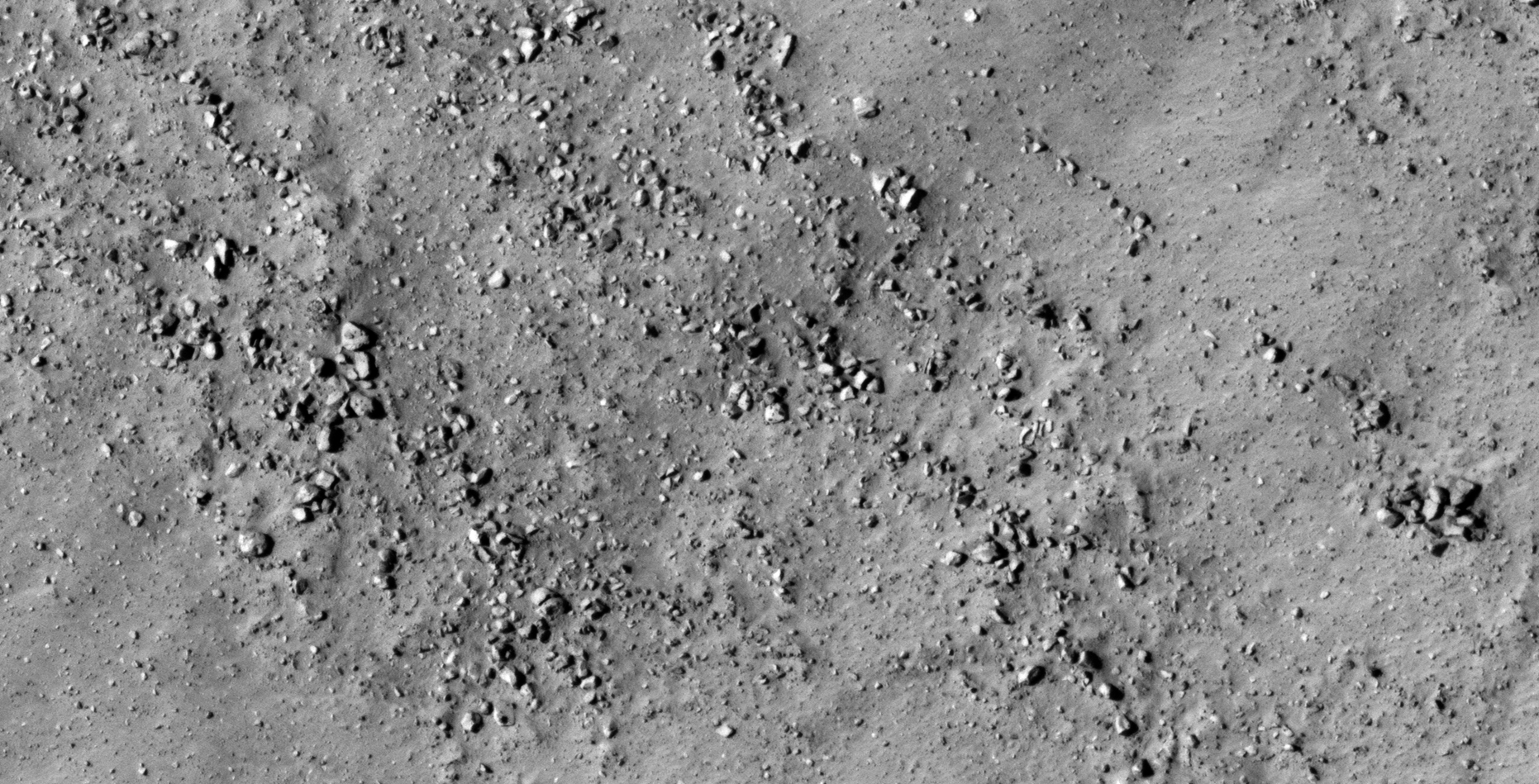
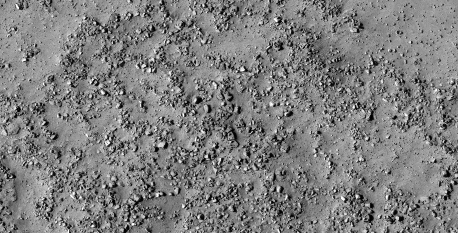
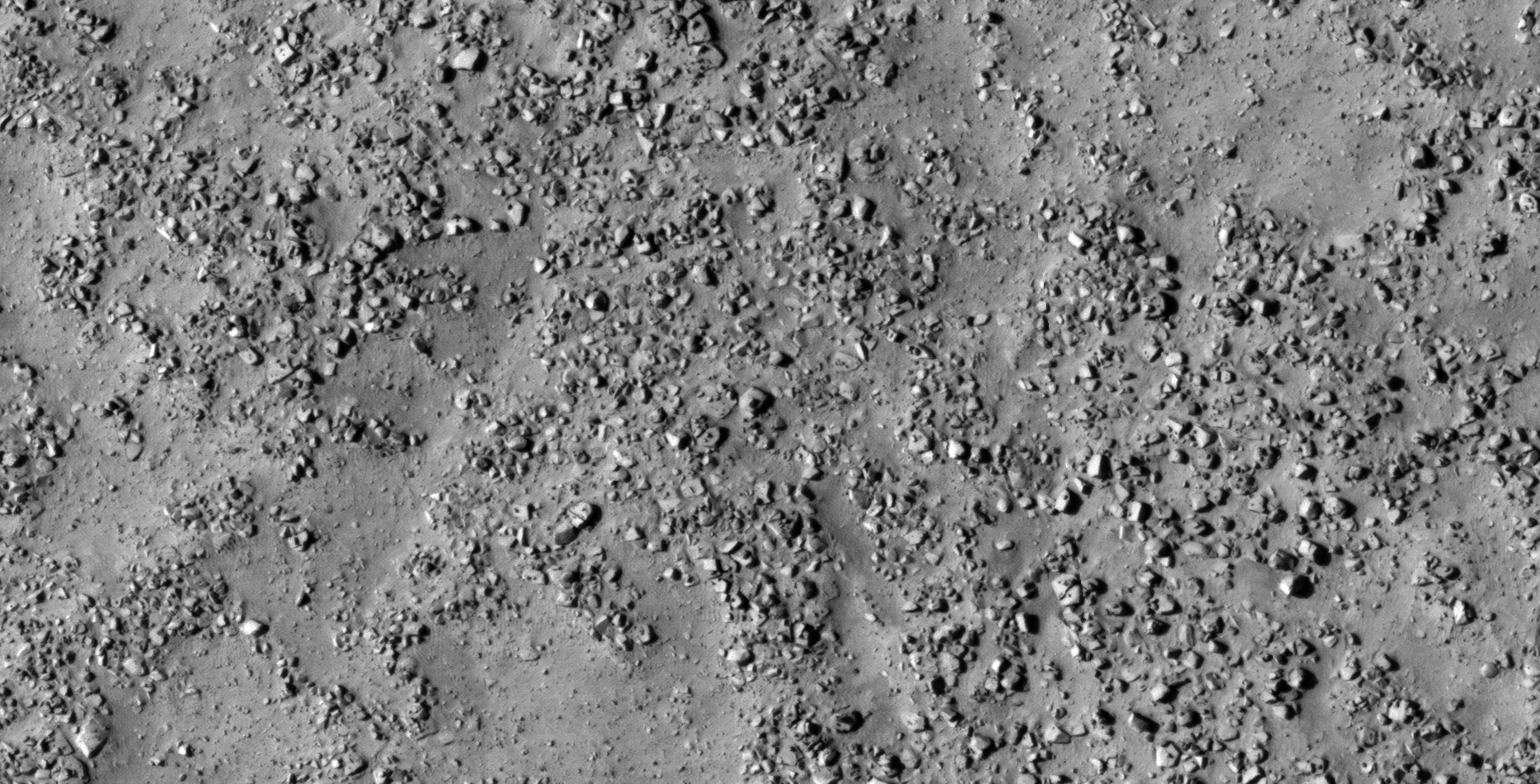
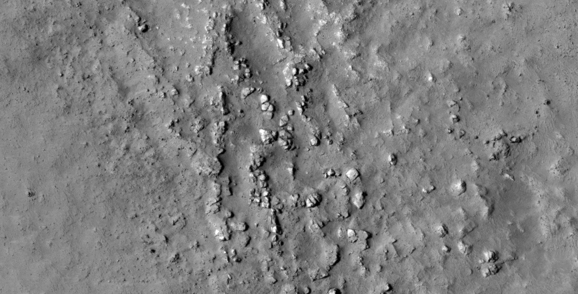
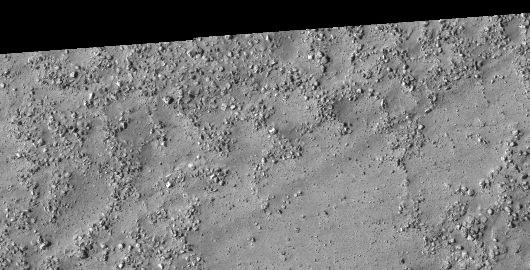
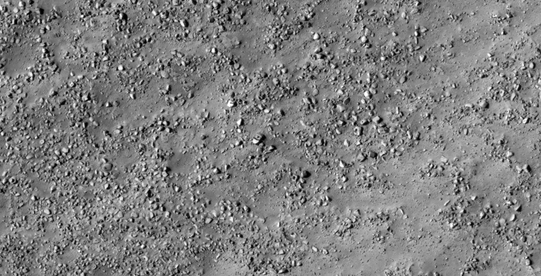
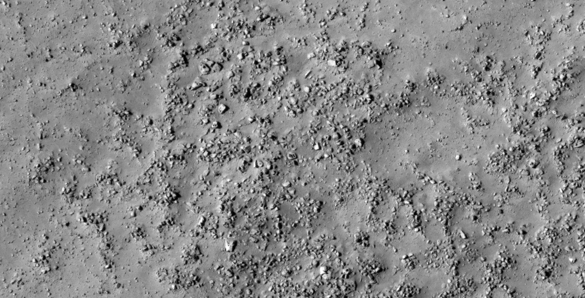
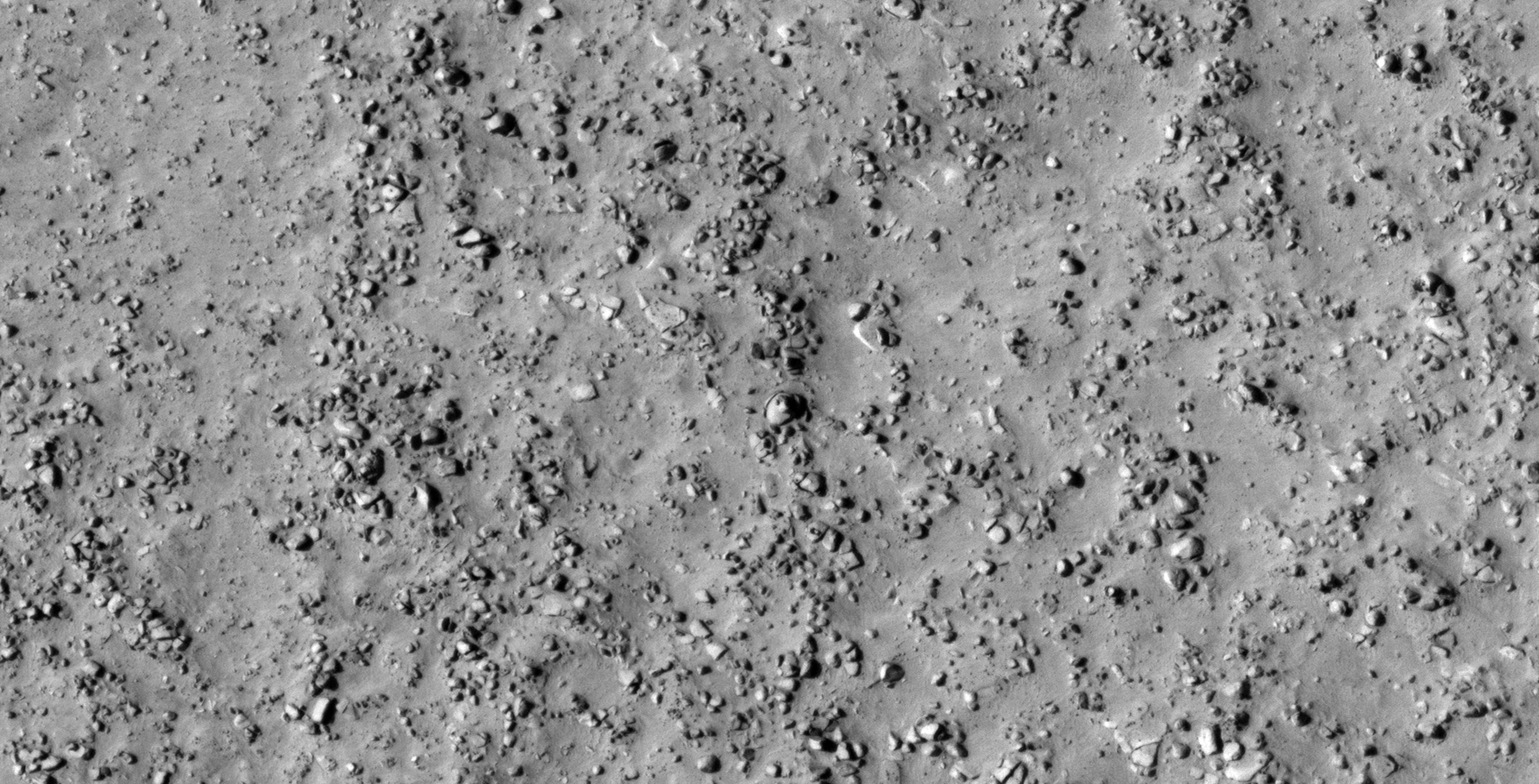
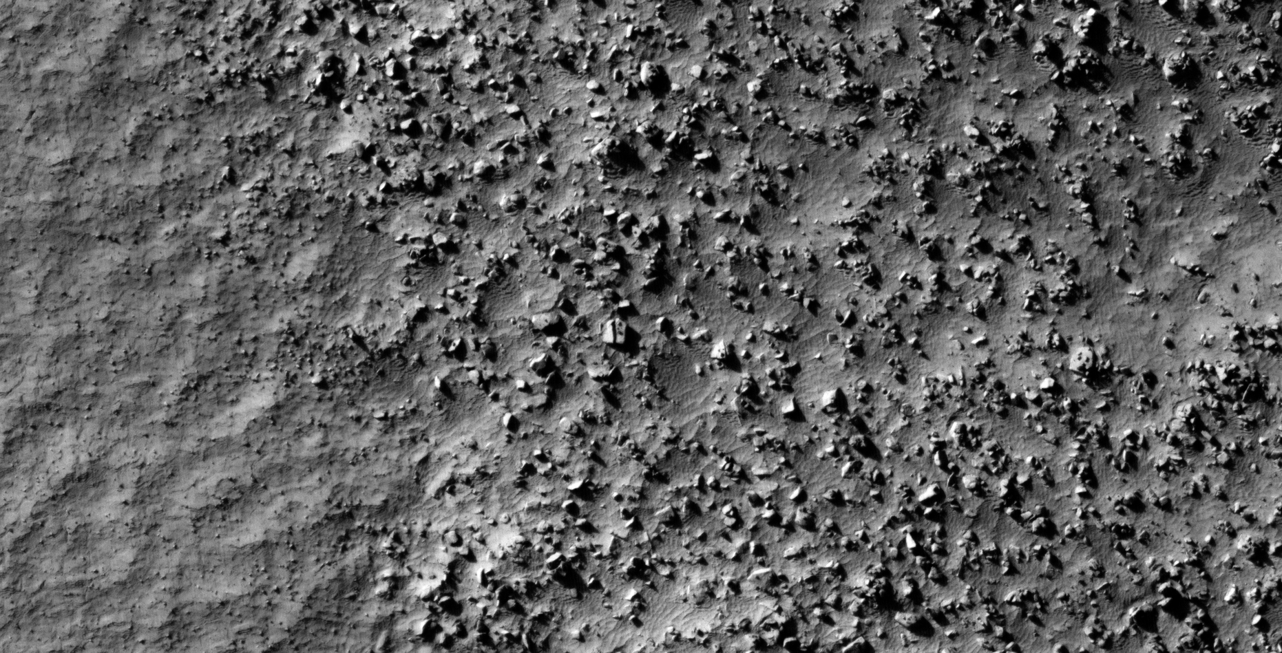
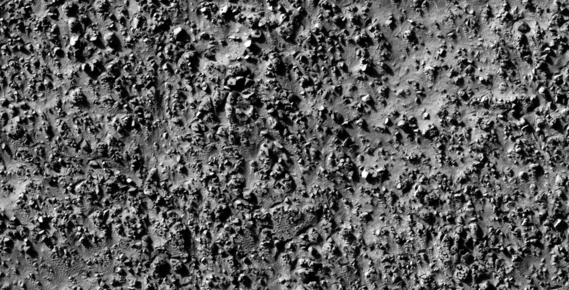
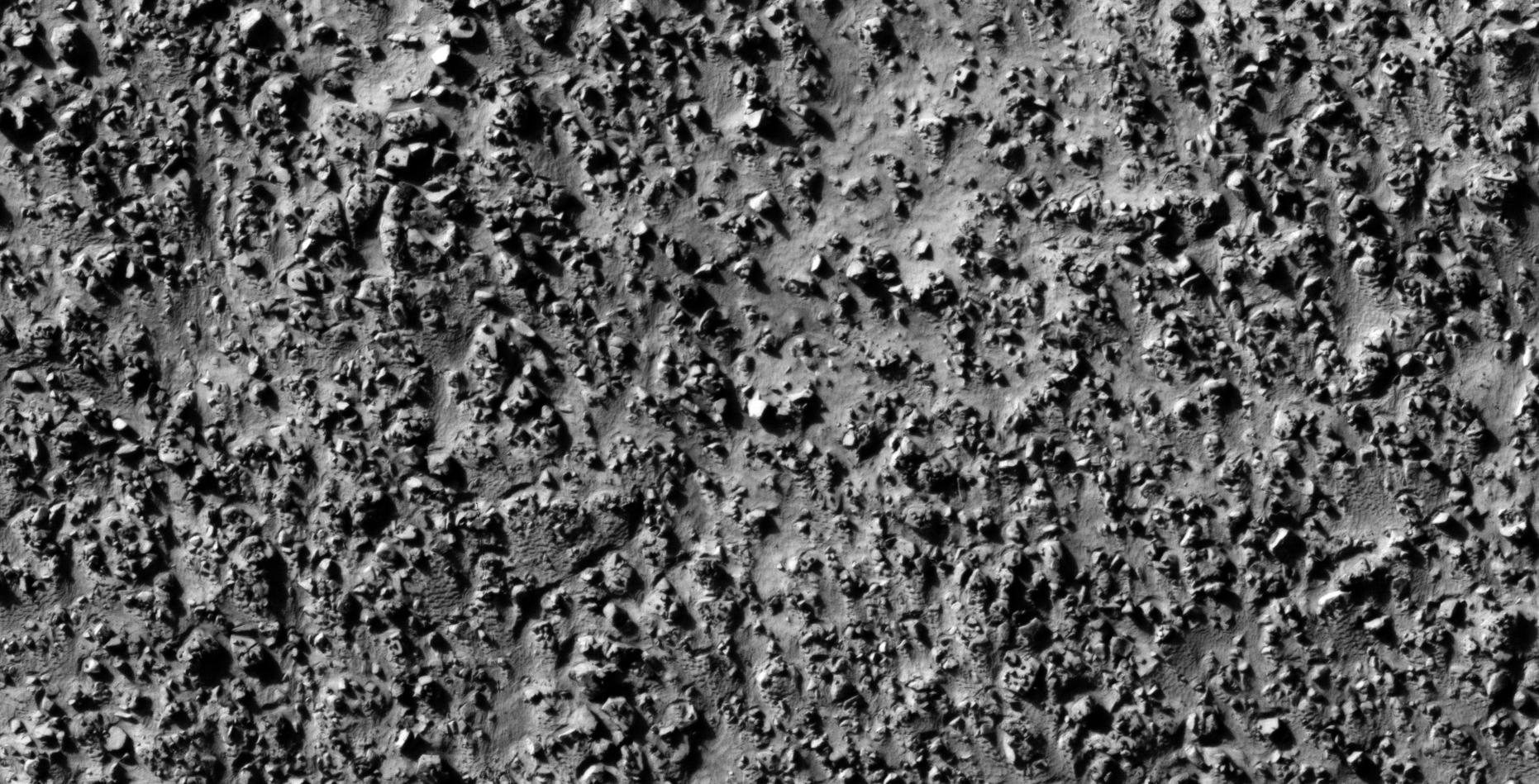
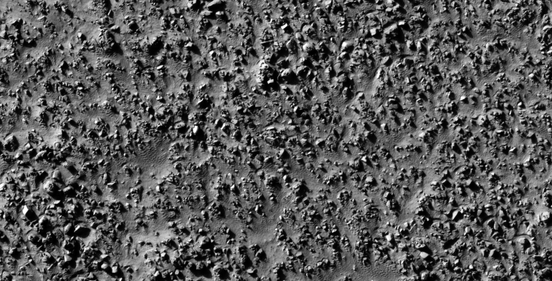
The photograph analyzed here (ESP_013244_1275) was taken by NASA’s Mars Reconnaissance Orbiter on 24 May 2009 describes the photograph as ‘Lobate Features in the Charitum Montes.’
In part 3 of 3 I speculate that I discovered further evidence of megalithic blocks with knobs, what appears to be wreckage of some type of craft, machinery or technology.
I further speculate that some of the anomalies look like hatches and others like they may have been arranged to be covers to underground entrance-ways.
In some cases I cannot say for certain whether the respective anomalies or artefacts are megalithic or wreckage.
Perhaps a surviving race of beings in using this debris/wreckage as structures or buildings/habitats.
Anyway, everything shown here seems to have been destroyed as is the case with all the other ruins I’ve covered in previous posts/video’s.
Could there be a spiritual/cultural significance to the pattern we see displayed in the small features arranged in triangles/rows on top of the larger megalithic blocks/slabs?
— (click for larger image)— (click for larger image)— (click for larger image)— (click for larger image)— (click for larger image)— (click for larger image)— (click for larger image)— (click for larger image)— (click for larger image)— (click for larger image)— (click for larger image)— (click for larger image)— (click for larger image)— (click for larger image)— (click for larger image)— (click for larger image)— (click for larger image)— (click for larger image)— (click for larger image)— (click for larger image)— (click for larger image)— (click for larger image)— (click for larger image)— (click for larger image)— (click for larger image)— (click for larger image)— (click for larger image)— (click for larger image)— (click for larger image)— (click for larger image)— (click for larger image)— (click for larger image)— (click for larger image)— (click for larger image)— (click for larger image)— (click for larger image)— (click for larger image)— (click for larger image)— (click for larger image)— (click for larger image)— (click for larger image)— (click for larger image)— (click for larger image)— (click for larger image)— (click for larger image)— (click for larger image)— (click for larger image)— (click for larger image)— (click for larger image)— (click for larger image)— (click for larger image)— (click for larger image)— (click for larger image)— (click for larger image)
Images saved from within HiView or CTX viewer do not include image scale indicators. The image scale indicators I include in images are based on the official resolutions provided by NASA and although I strive to be as accurate as possible there may be slight deviations from the actual scale. Image scale indicators are included as a size approximation tool only.
Geometry lines are mapped as accurately as possible using the limited information, data and mapping tools available at the time, therefore the lines may deviate from target sites by a few kilometres. Revisions may be made in the future as new, more precise information, data and mapping tools become available.
Many or all of the anomalies/artefacts covered in this presentation may be naturally occurring geological features caused by some type of geological processes, however due to the lack of specific information from the source we can only speculate whether these are all natural or some artificial in nature.
In cases where I say an anomaly looks like something I’m attempting to clarify what I see and not specifically that the anomaly is what I say it looks like.
My intention is only to share anomalies I’ve discovered on Mars and not to convince anyone that there is or was a civilization on Mars.
As Will Farrar from WhatsUpInTheSky says: “I see what I see, you see what you see.”
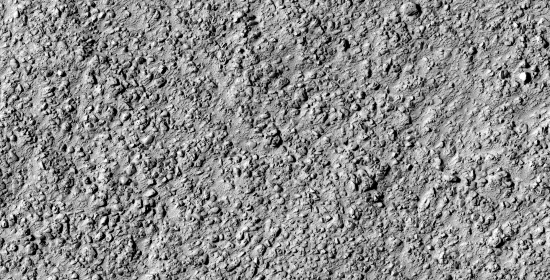
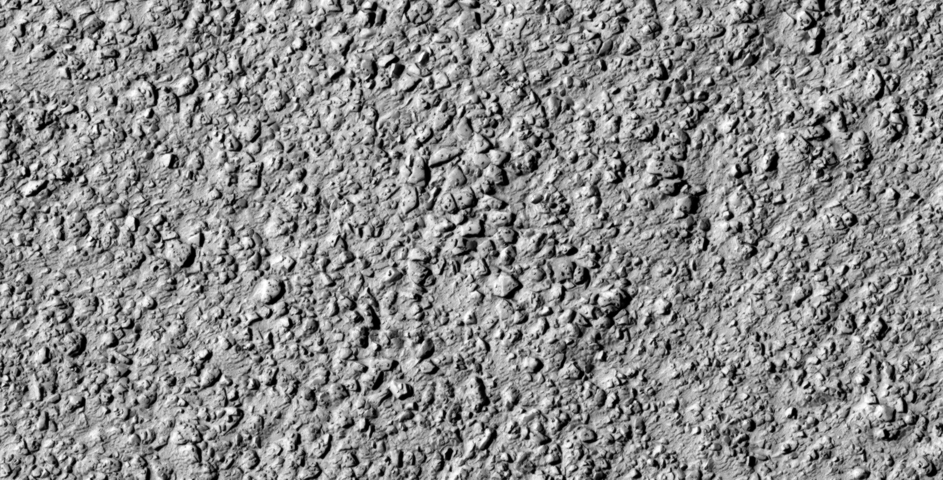
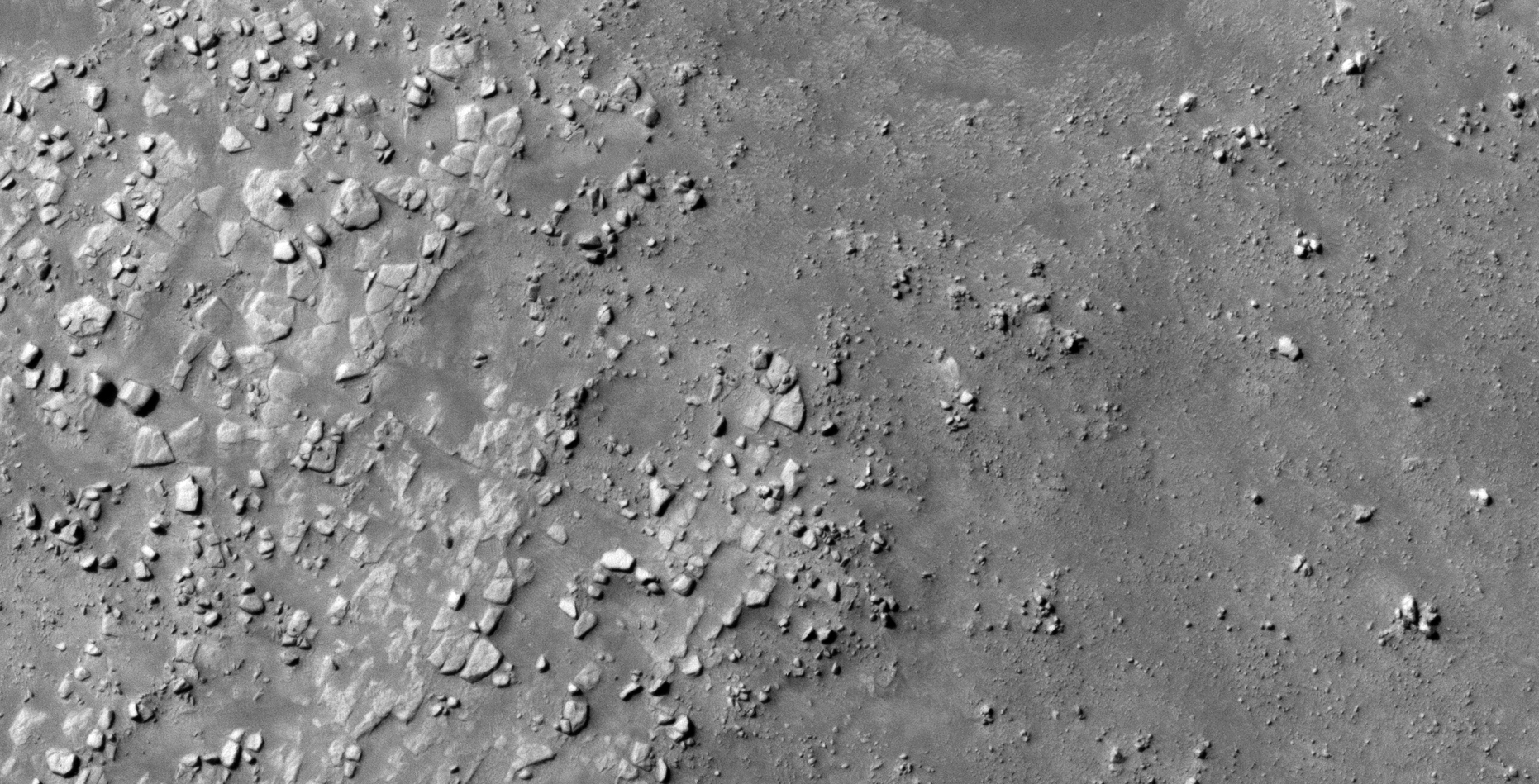
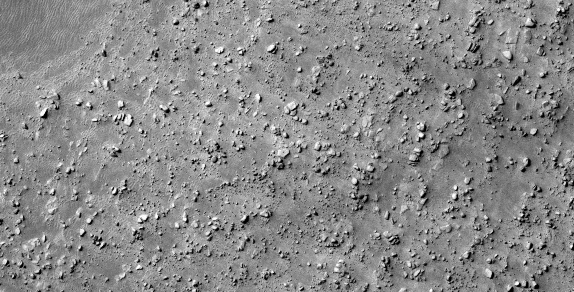
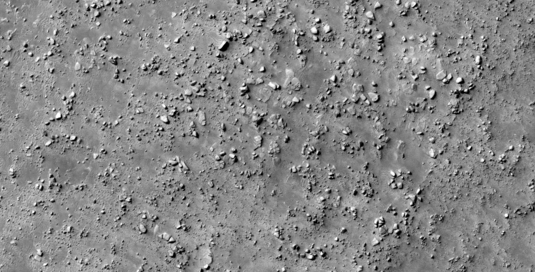
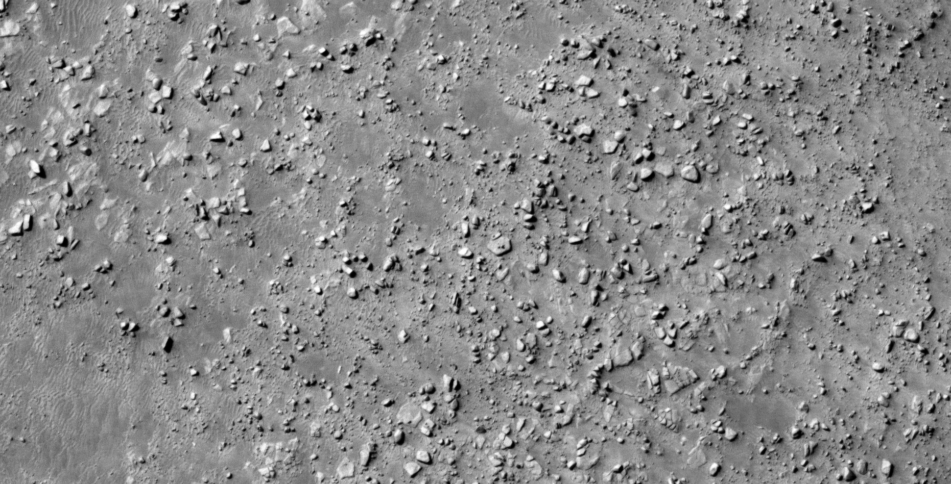
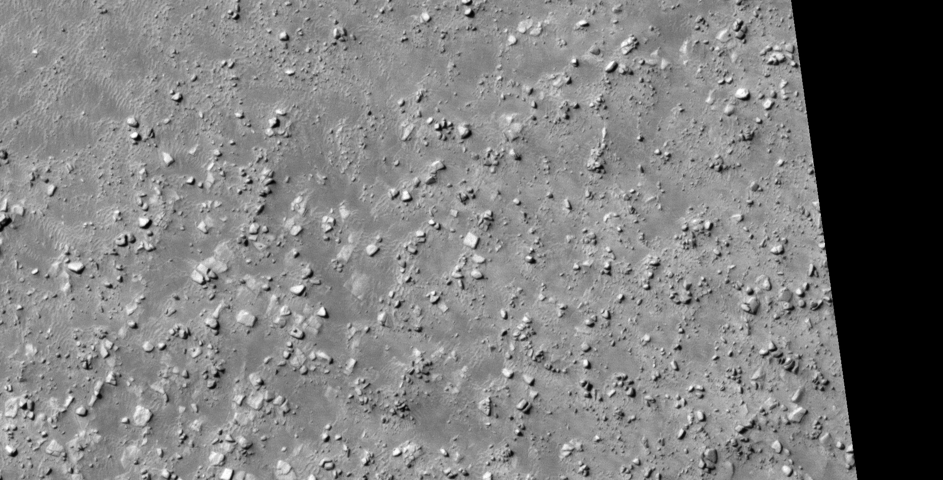
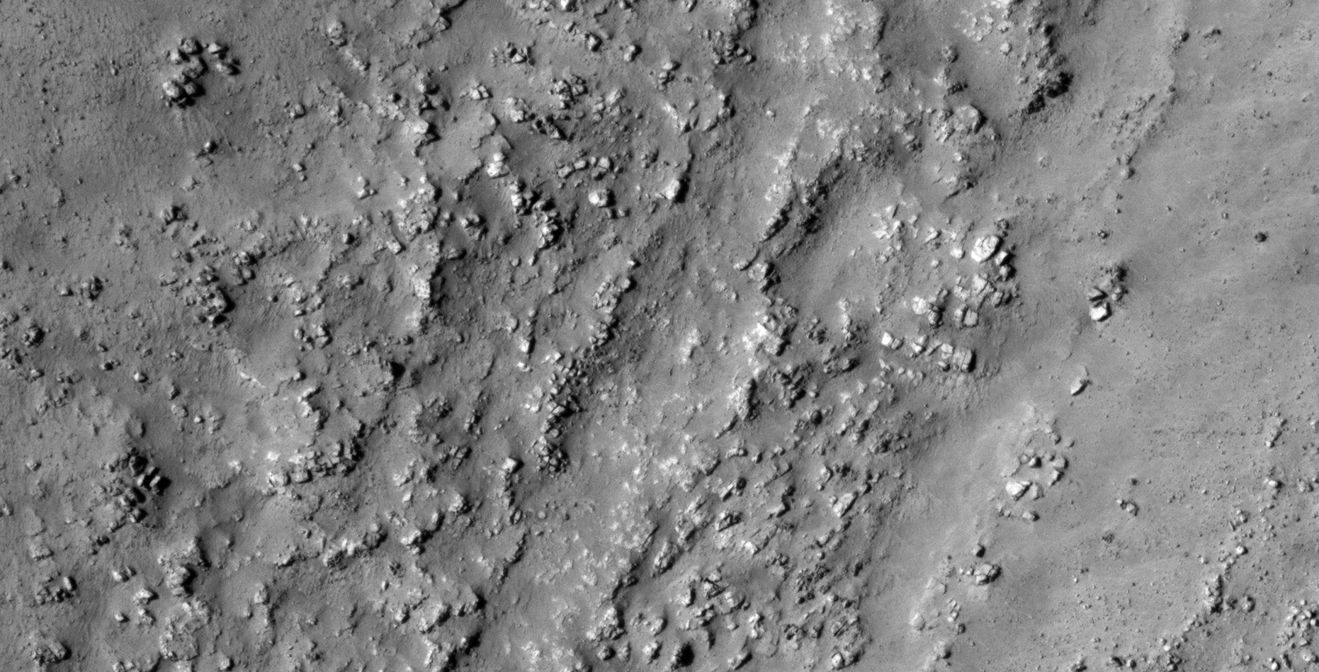
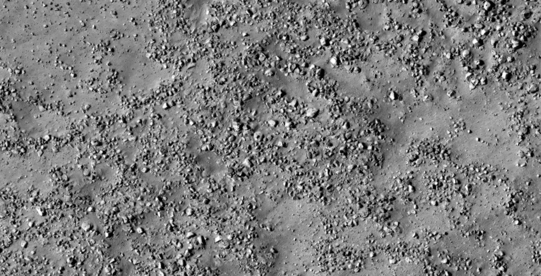
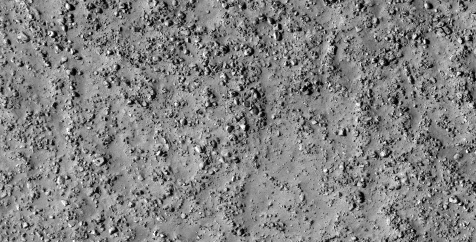
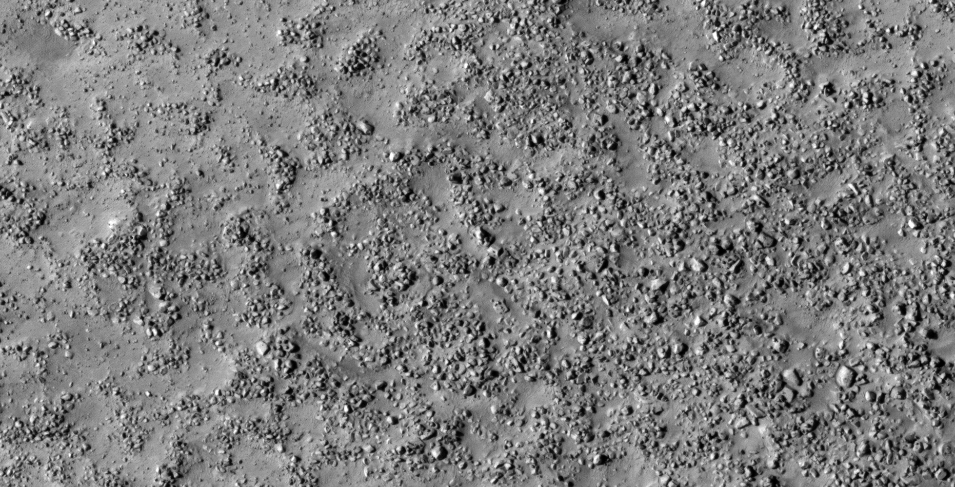
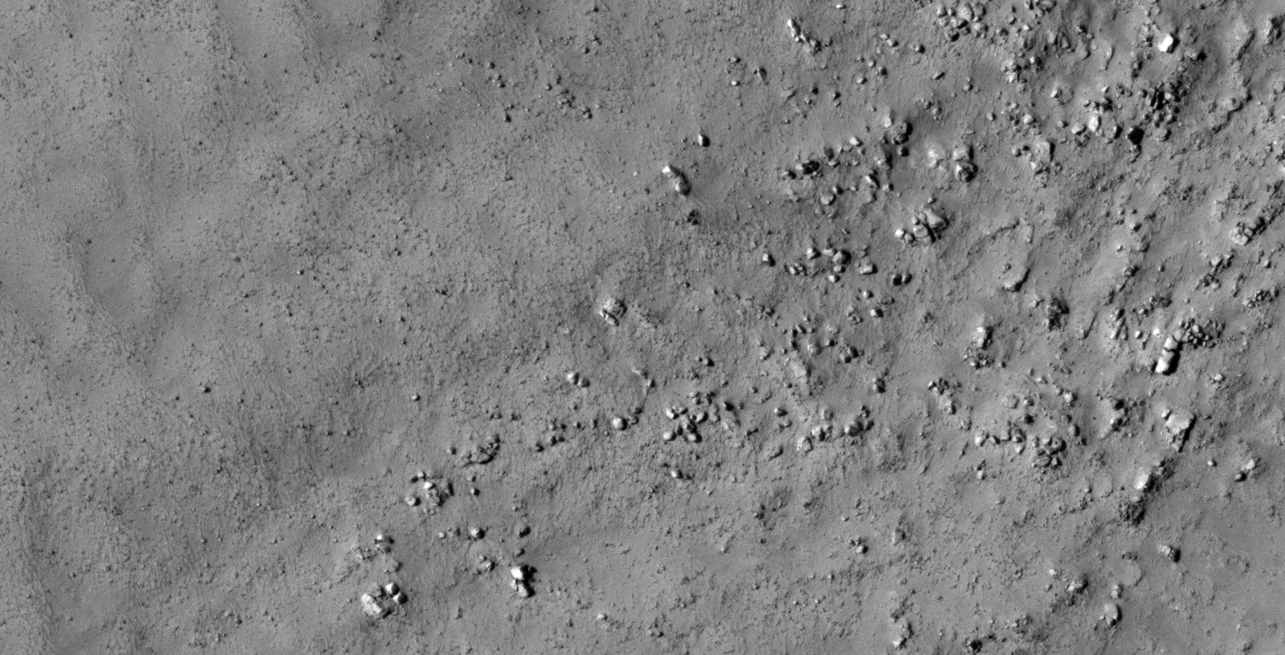
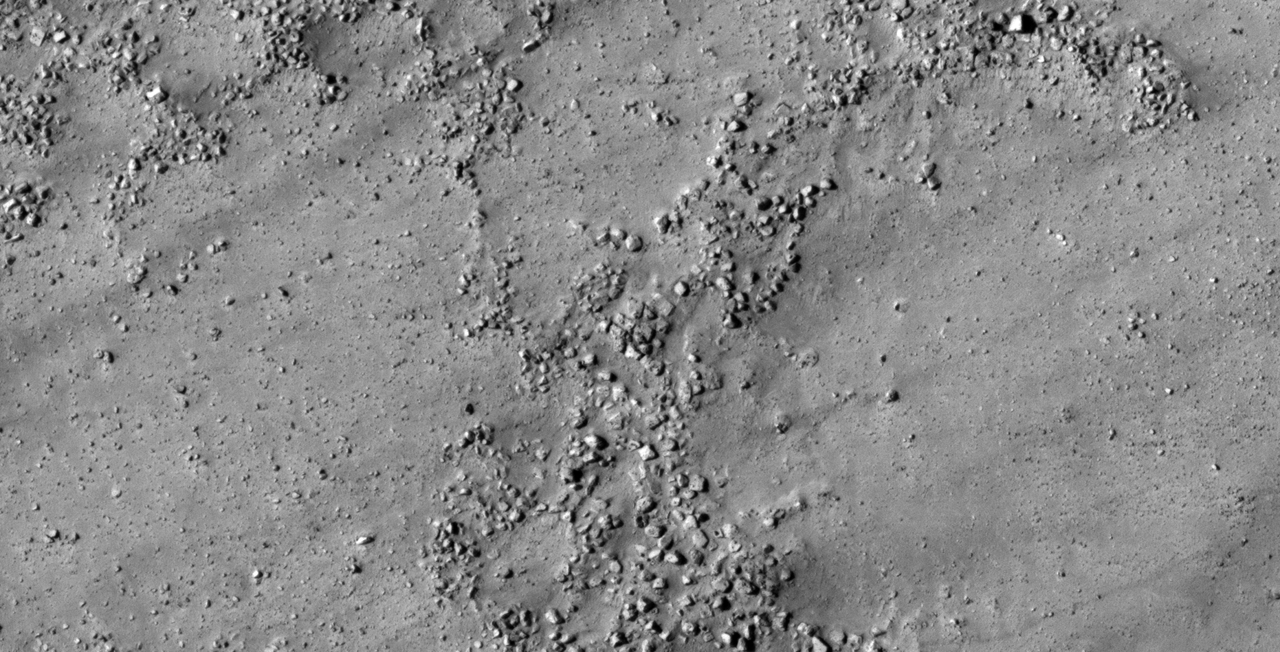
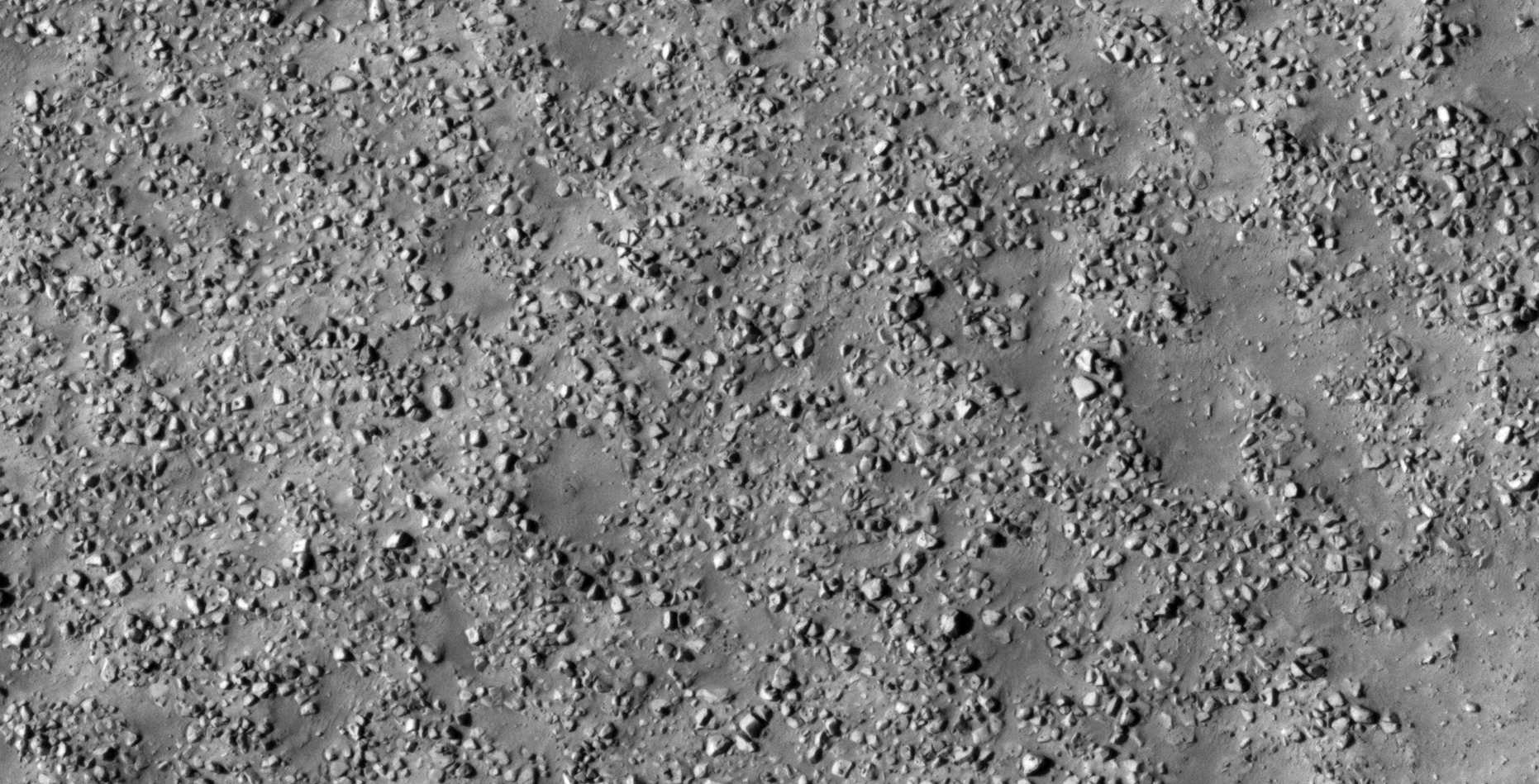
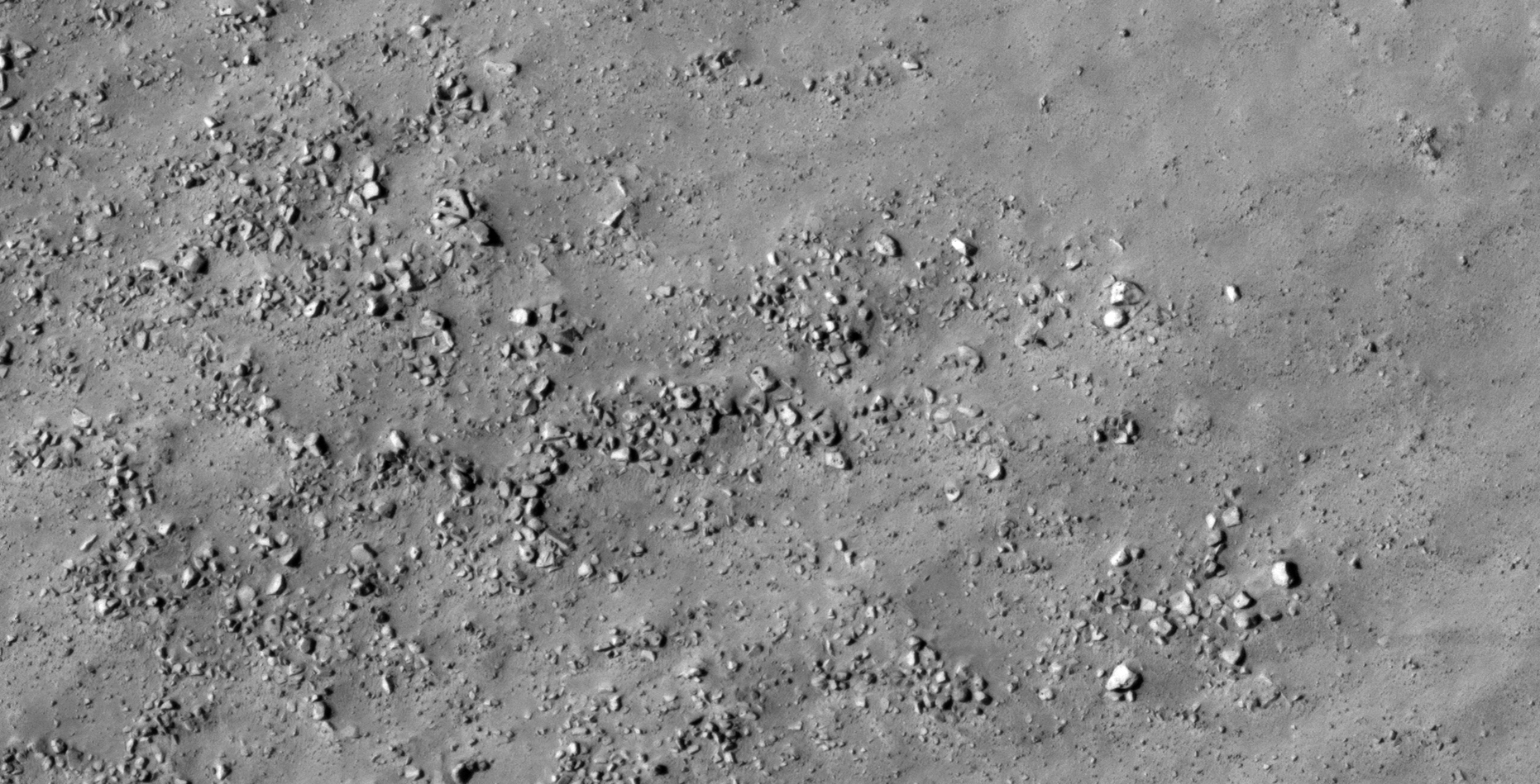
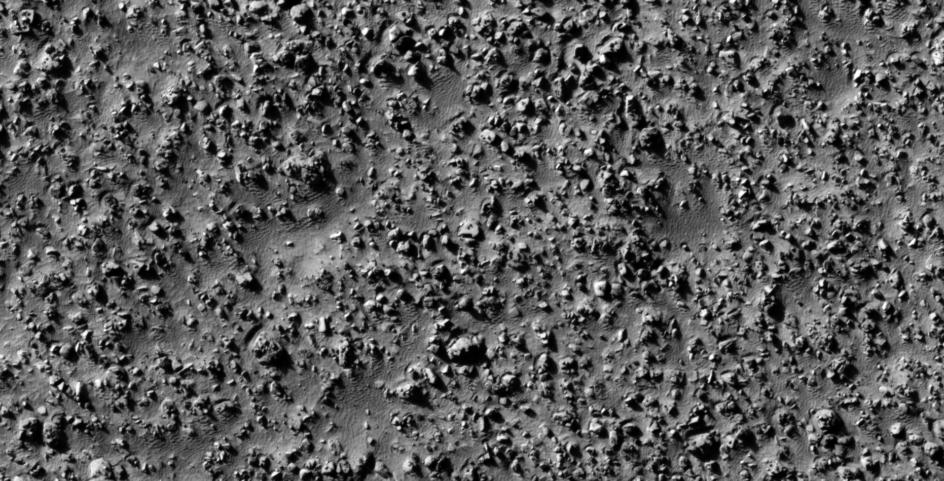
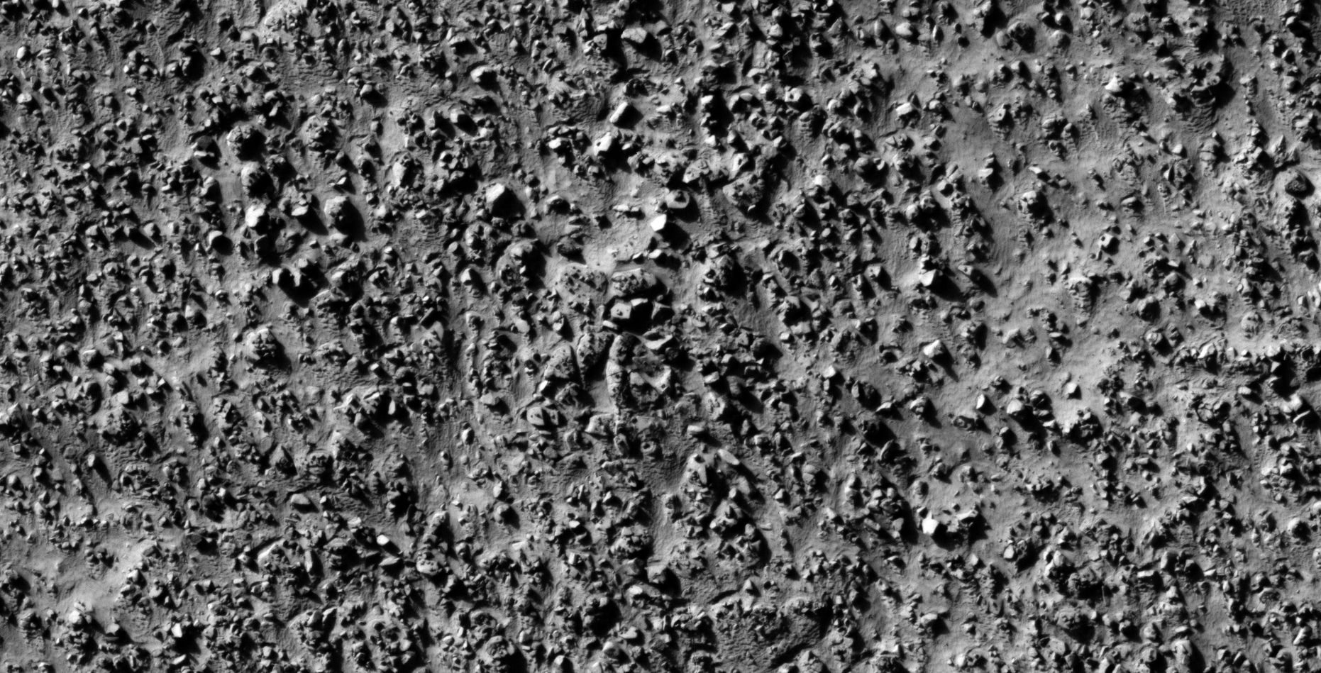
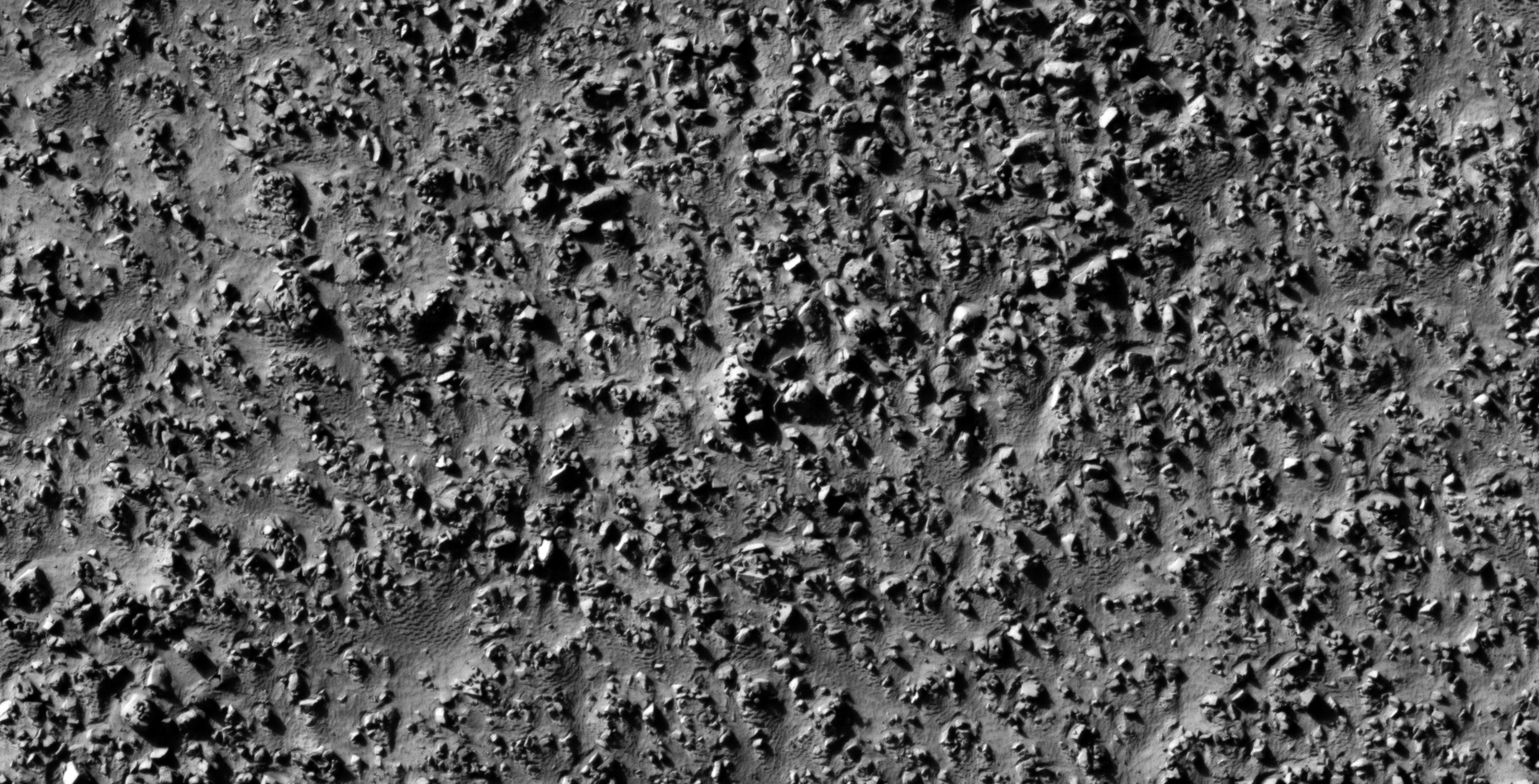
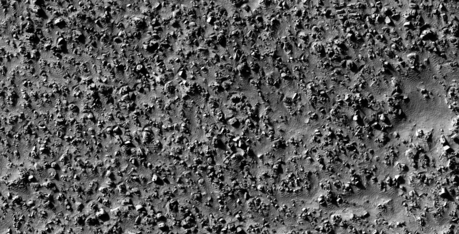
The photograph analyzed here (ESP_013244_1275) was taken by NASA’s Mars Reconnaissance Orbiter on 24 May 2009 describes the photograph as ‘Lobate Features in the Charitum Montes.’
In part 2 of 3 I speculate that I discovered further evidence of megalithic blocks with knobs, what appears to be wreckage of some type of craft, machinery or technology.
I further speculate that some of the anomalies look like hatches and others like they may have been arranged to be covers to underground entrance-ways.
In some cases I cannot say for certain whether the respective anomalies or artefacts are megalithic or wreckage.
Perhaps a surviving race of beings in using this debris/wreckage as structures or buildings/habitats.
Anyway, everything shown here seems to have been destroyed as is the case with all the other ruins I’ve covered in previous posts/video’s.
Could there be a spiritual/cultural significance to the pattern we see displayed in the small features arranged in triangles/rows on top of the larger megalithic blocks/slabs?
— (click for larger image)— (click for larger image)— (click for larger image)— (click for larger image)— (click for larger image)— (click for larger image)— (click for larger image)— (click for larger image)— (click for larger image)— (click for larger image)— (click for larger image)— (click for larger image)— (click for larger image)— (click for larger image)— (click for larger image)— (click for larger image)— (click for larger image)— (click for larger image)— (click for larger image)— (click for larger image)— (click for larger image)— (click for larger image)— (click for larger image)— (click for larger image)— (click for larger image)— (click for larger image)— (click for larger image)— (click for larger image)— (click for larger image)— (click for larger image)— (click for larger image)— (click for larger image)— (click for larger image)— (click for larger image)— (click for larger image)— (click for larger image)— (click for larger image)— (click for larger image)— (click for larger image)— (click for larger image)— (click for larger image)— (click for larger image)— (click for larger image)— (click for larger image)— (click for larger image)— (click for larger image)— (click for larger image)— (click for larger image)— (click for larger image)— (click for larger image)
Images saved from within HiView or CTX viewer do not include image scale indicators. The image scale indicators I include in images are based on the official resolutions provided by NASA and although I strive to be as accurate as possible there may be slight deviations from the actual scale. Image scale indicators are included as a size approximation tool only.
Geometry lines are mapped as accurately as possible using the limited information, data and mapping tools available at the time, therefore the lines may deviate from target sites by a few kilometres. Revisions may be made in the future as new, more precise information, data and mapping tools become available.
Many or all of the anomalies/artefacts covered in this presentation may be naturally occurring geological features caused by some type of geological processes, however due to the lack of specific information from the source we can only speculate whether these are all natural or some artificial in nature.
In cases where I say an anomaly looks like something I’m attempting to clarify what I see and not specifically that the anomaly is what I say it looks like.
My intention is only to share anomalies I’ve discovered on Mars and not to convince anyone that there is or was a civilization on Mars.
As Will Farrar from WhatsUpInTheSky says: “I see what I see, you see what you see.”
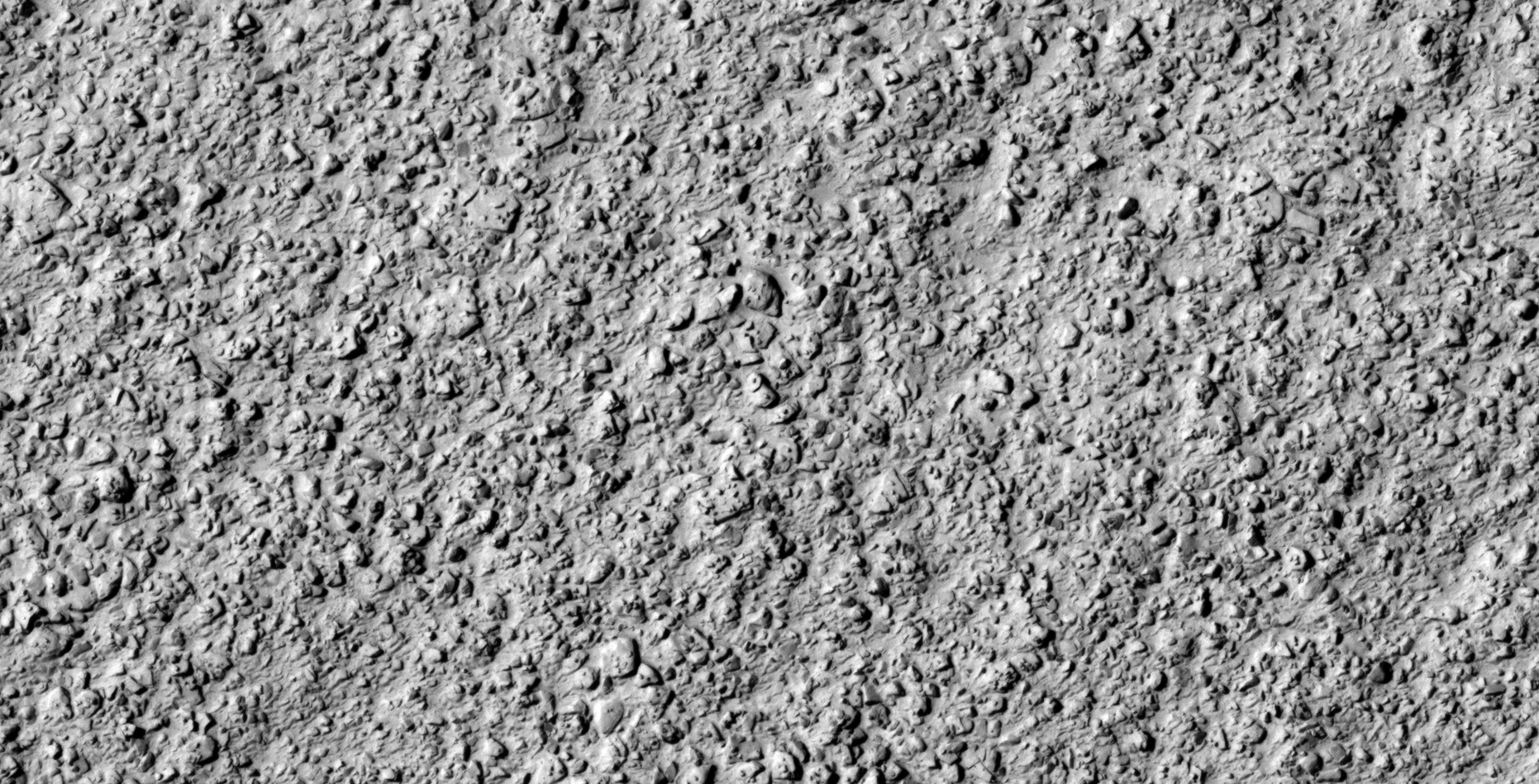
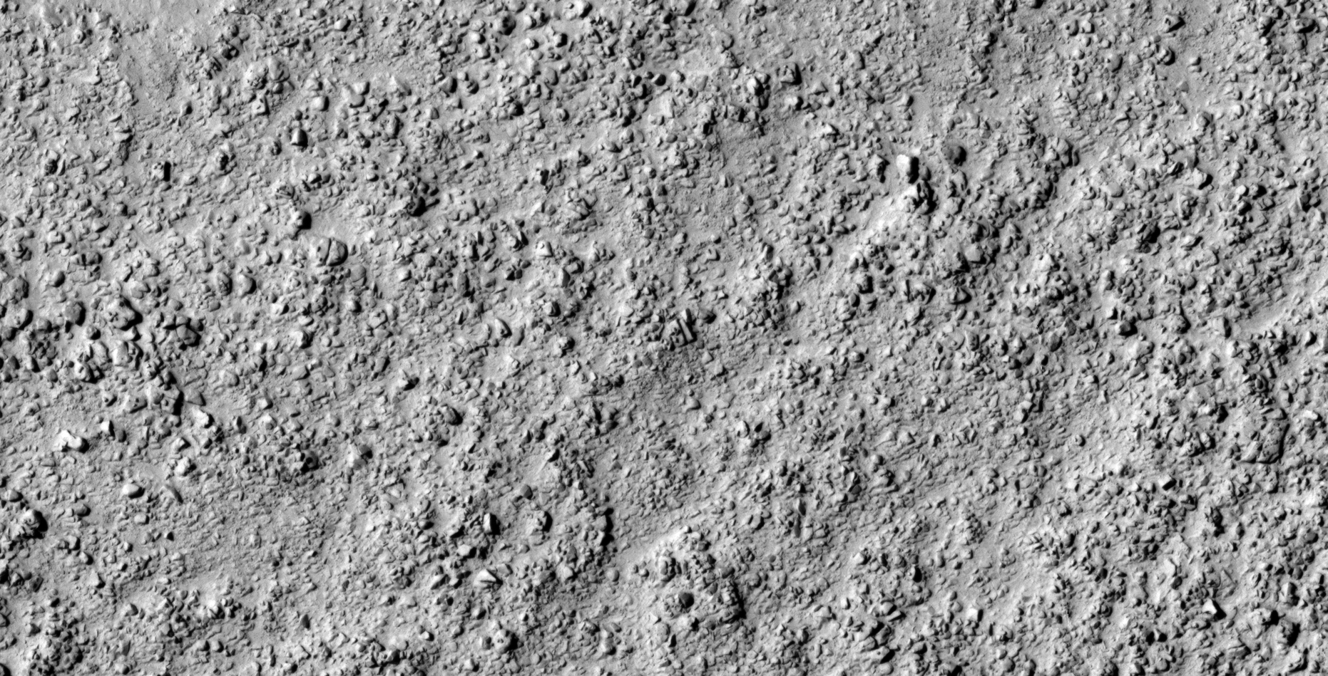
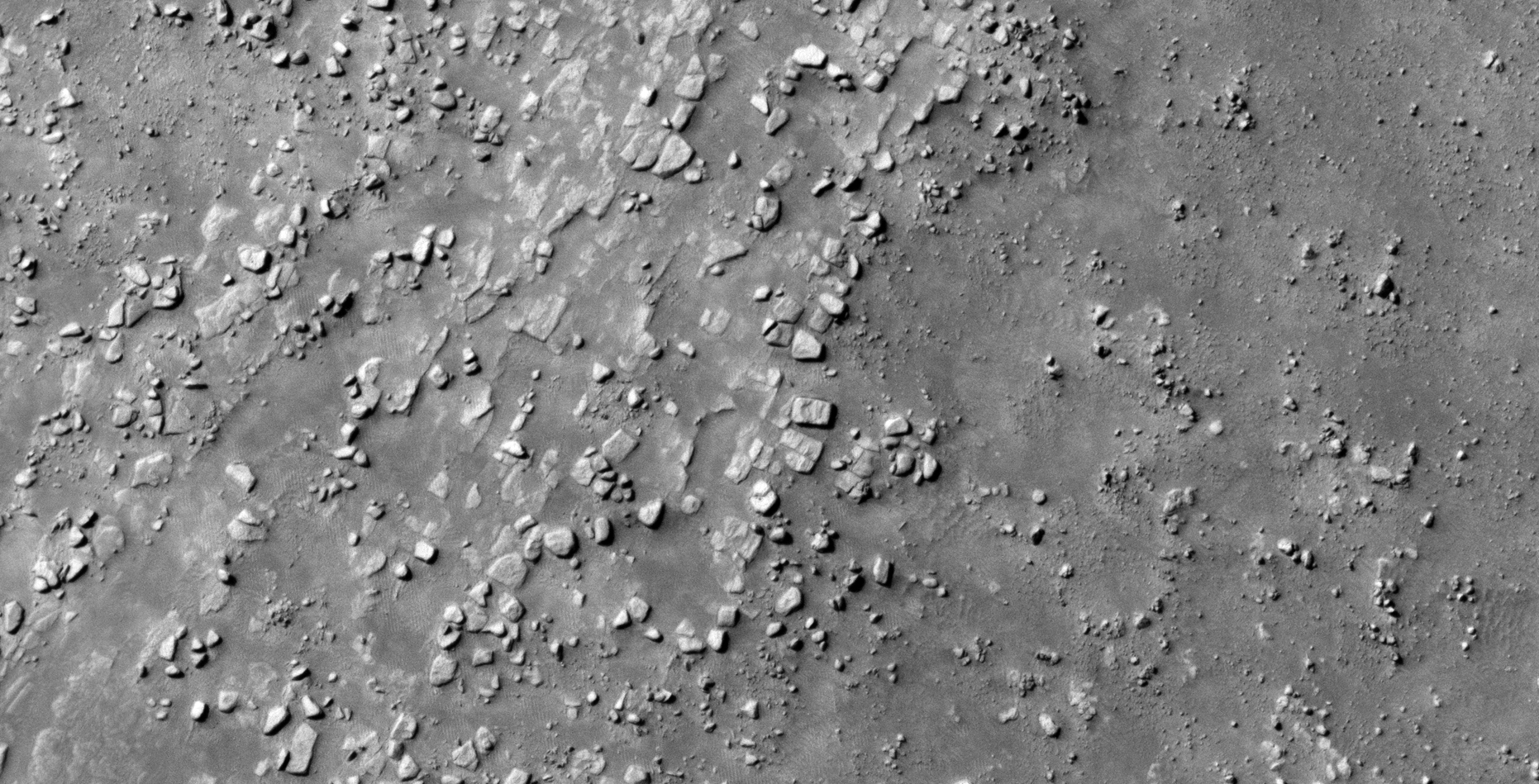
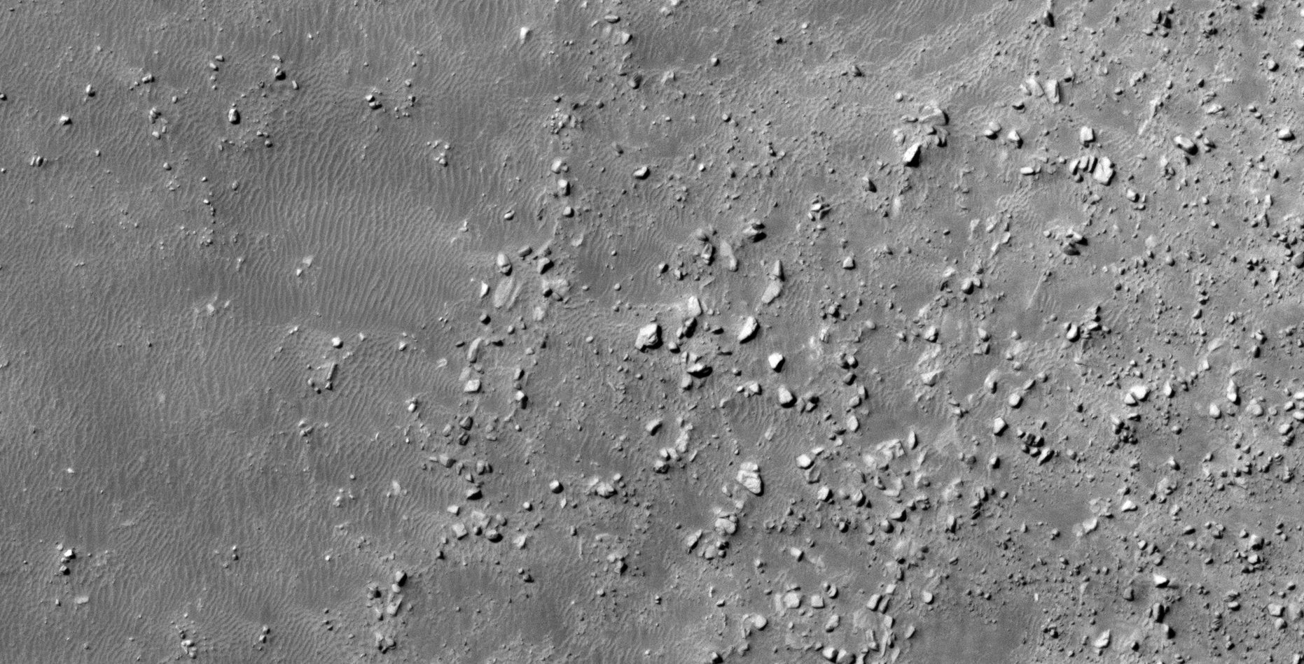
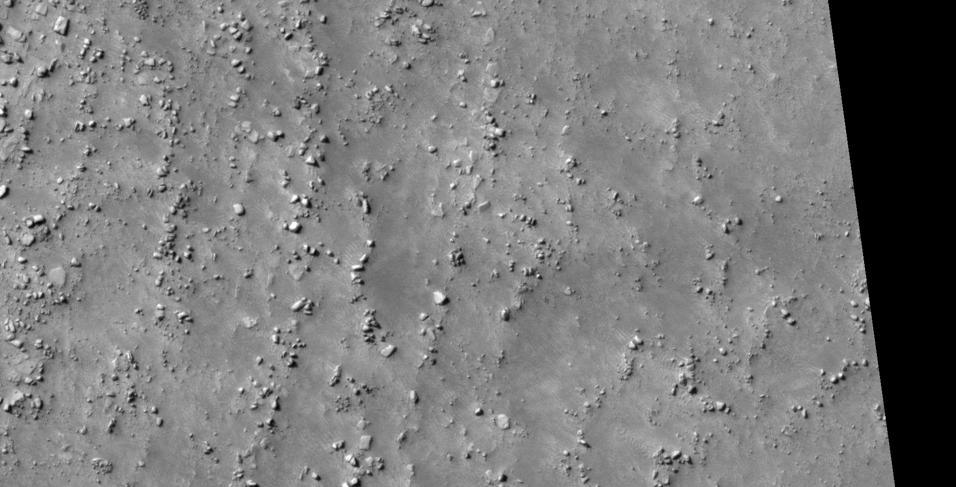
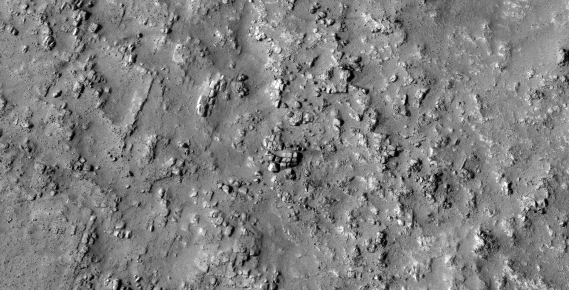
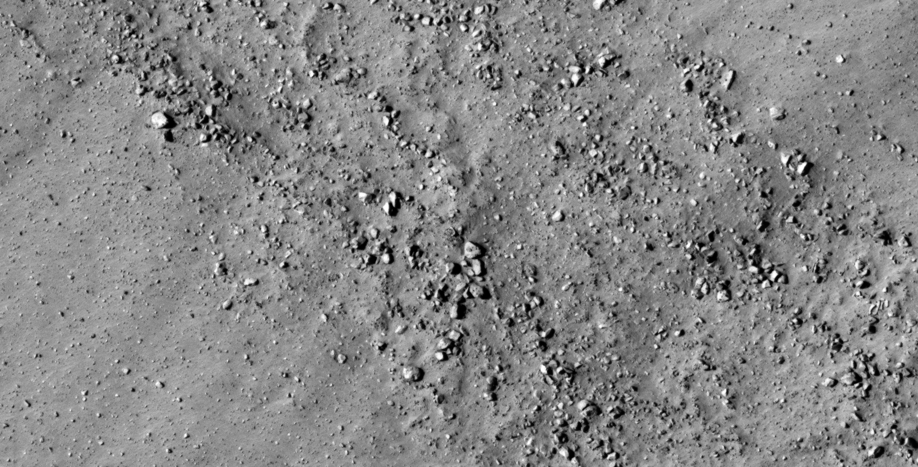
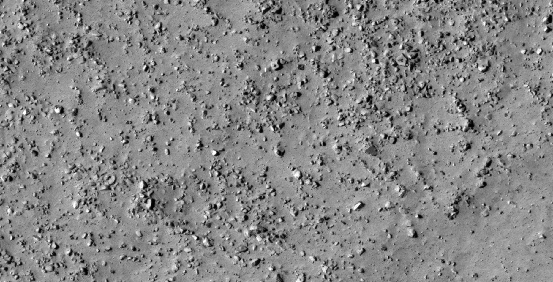
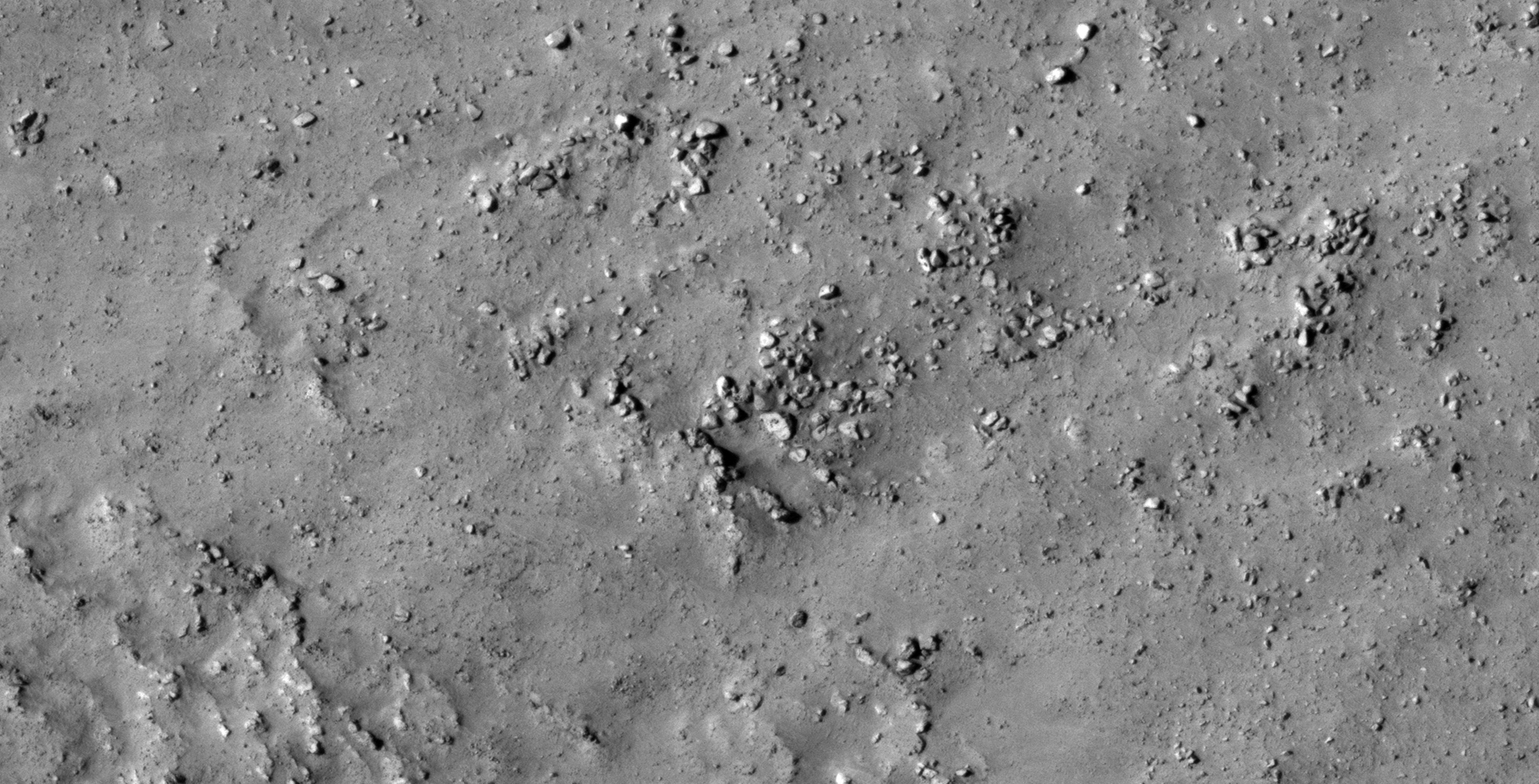
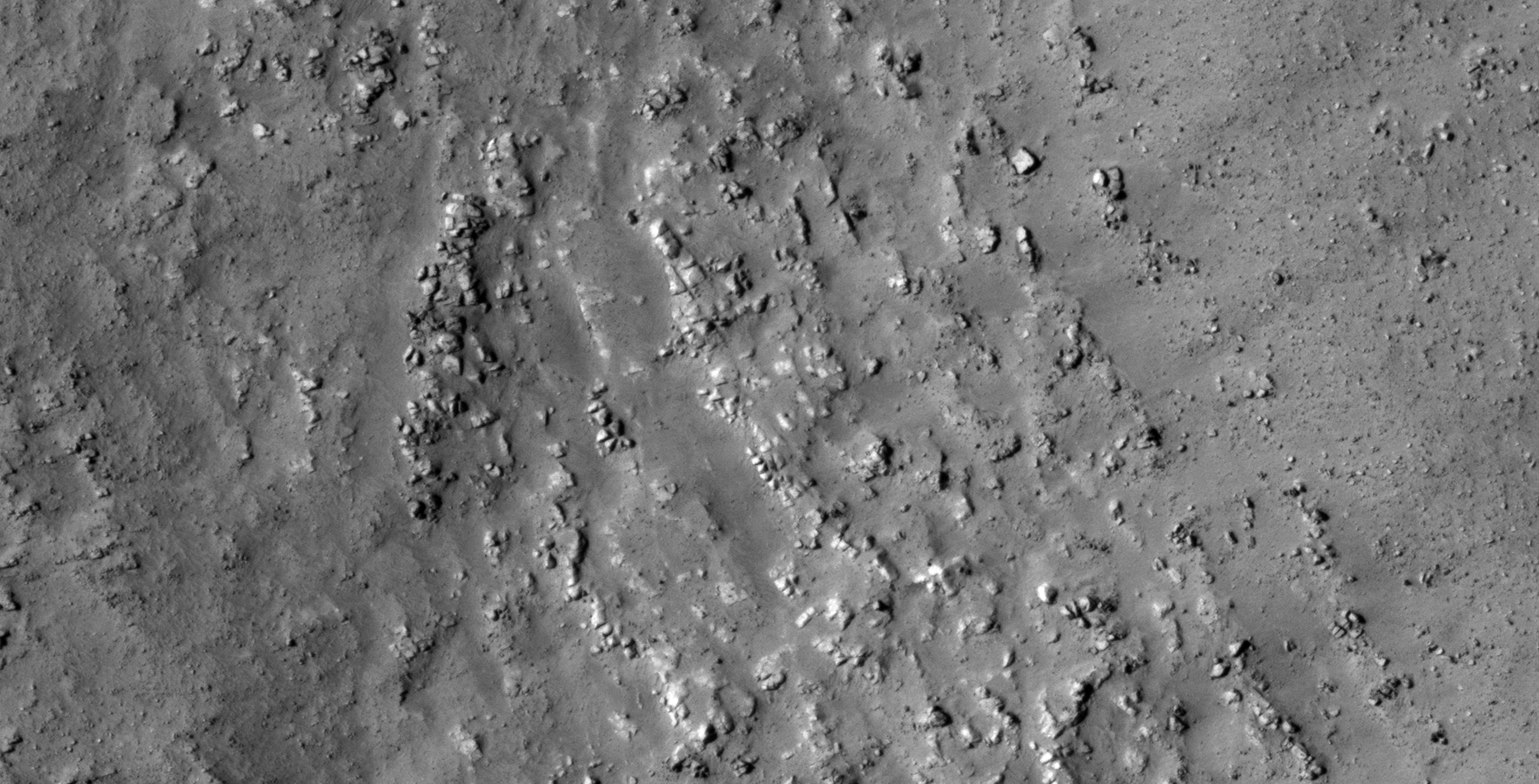
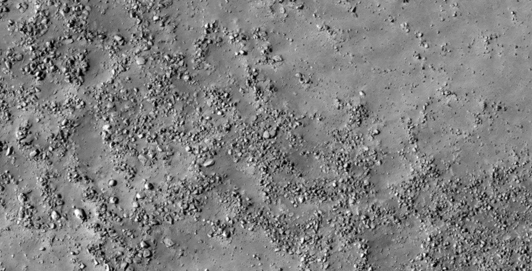
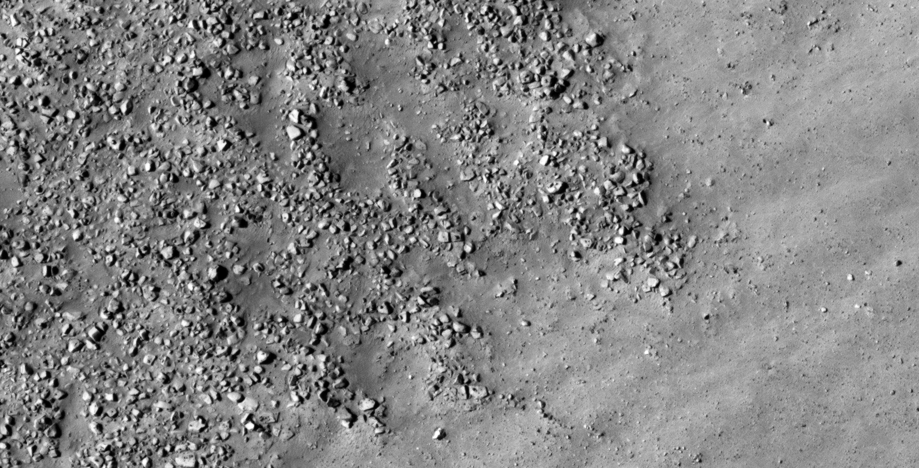
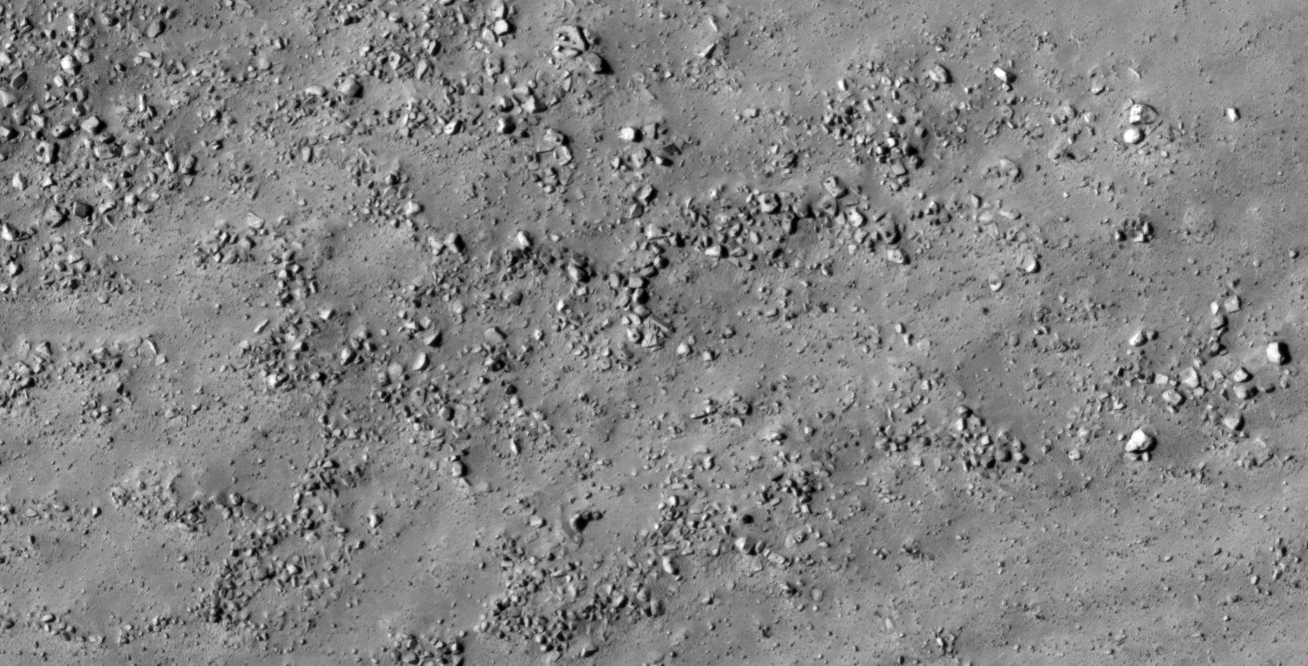
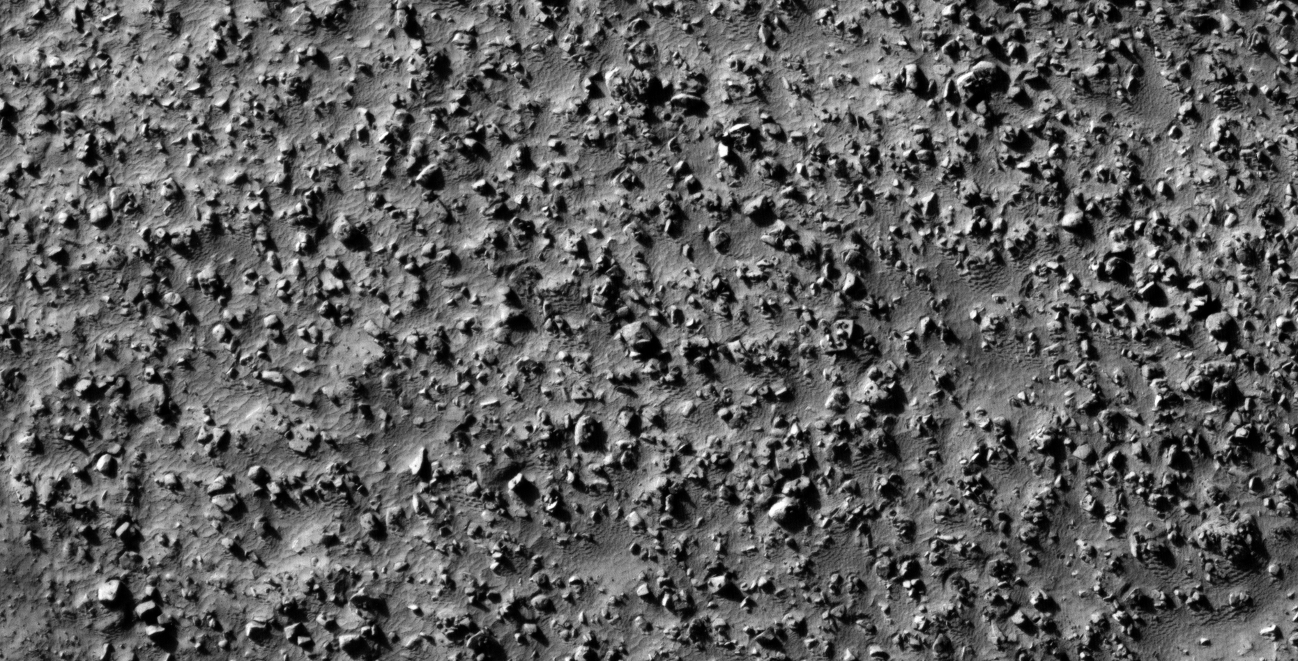
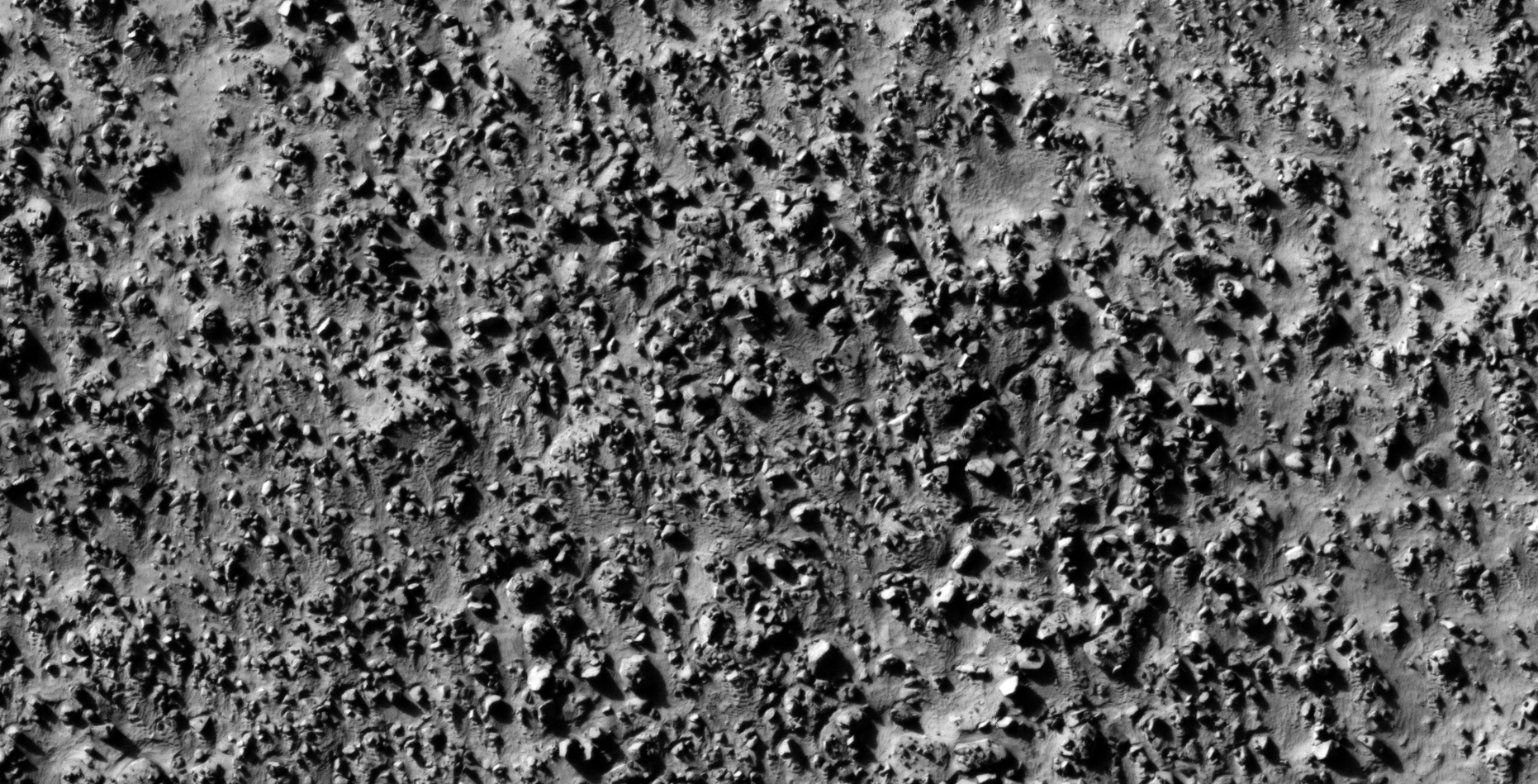
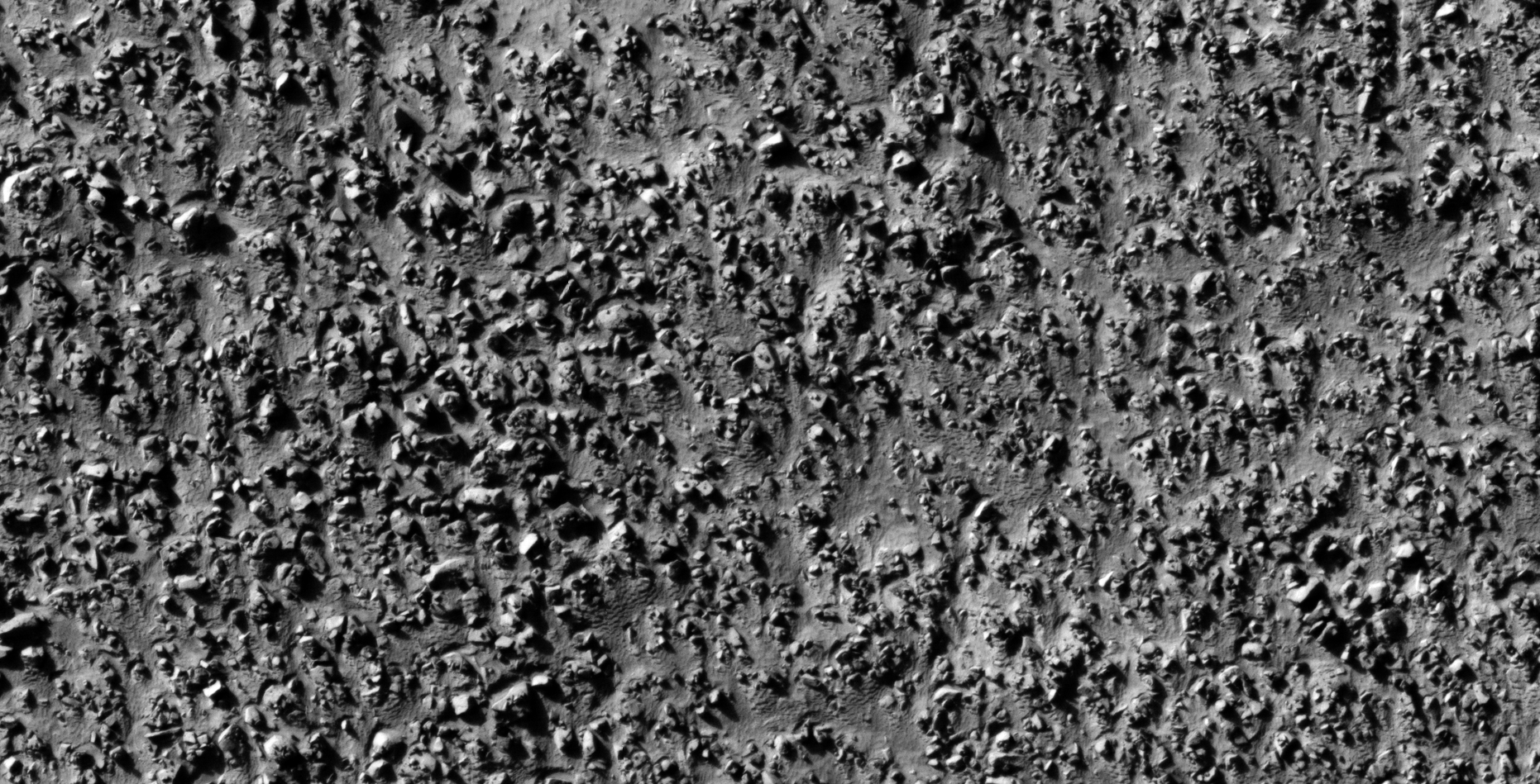
The photograph analyzed here (ESP_013244_1275) was taken by NASA’s Mars Reconnaissance Orbiter on 24 May 2009 describes the photograph as ‘Lobate Features in the Charitum Montes.’
Here I speculate that I discovered further evidence of megalithic blocks with knobs, what appears to be wreckage of some type of craft, machinery or technology.
I further speculate that some of the anomalies look like hatches and others like they may have been arranged to be covers to underground entrance-ways.
In some cases I cannot say for certain whether the respective anomalies or artefacts are megalithic or wreckage.
Perhaps a surviving race of beings in using this debris/wreckage as structures or buildings/habitats.
Anyway, everything shown here seems to have been destroyed as is the case with all the other ruins I’ve covered in previous posts/video’s.
Could there be a spiritual/cultural significance to the pattern we see displayed in the small features arranged in triangles/rows on top of the larger megalithic blocks/slabs?
— (click for larger image)— (click for larger image)— (click for larger image)— (click for larger image)— (click for larger image)— (click for larger image)— (click for larger image)— (click for larger image)— (click for larger image)— (click for larger image)— (click for larger image)— (click for larger image)— (click for larger image)— (click for larger image)— (click for larger image)— (click for larger image)— (click for larger image)— (click for larger image)— (click for larger image)— (click for larger image)— (click for larger image)— (click for larger image)— (click for larger image)— (click for larger image)— (click for larger image)— (click for larger image)— (click for larger image)— (click for larger image)— (click for larger image)— (click for larger image)— (click for larger image)— (click for larger image)— (click for larger image)— (click for larger image)— (click for larger image)— (click for larger image)— (click for larger image)— (click for larger image)— (click for larger image)— (click for larger image)— (click for larger image)— (click for larger image)— (click for larger image)— (click for larger image)— (click for larger image)
Images saved from within HiView or CTX viewer do not include image scale indicators. The image scale indicators I include in images are based on the official resolutions provided by NASA and although I strive to be as accurate as possible there may be slight deviations from the actual scale. Image scale indicators are included as a size approximation tool only.
Geometry lines are mapped as accurately as possible using the limited information, data and mapping tools available at the time, therefore the lines may deviate from target sites by a few kilometres. Revisions may be made in the future as new, more precise information, data and mapping tools become available.
Many or all of the anomalies/artefacts covered in this presentation may be naturally occurring geological features caused by some type of geological processes, however due to the lack of specific information from the source we can only speculate whether these are all natural or some artificial in nature.
In cases where I say an anomaly looks like something I’m attempting to clarify what I see and not specifically that the anomaly is what I say it looks like.
My intention is only to share anomalies I’ve discovered on Mars and not to convince anyone that there is or was a civilization on Mars.
As Will Farrar from WhatsUpInTheSky says: “I see what I see, you see what you see.”
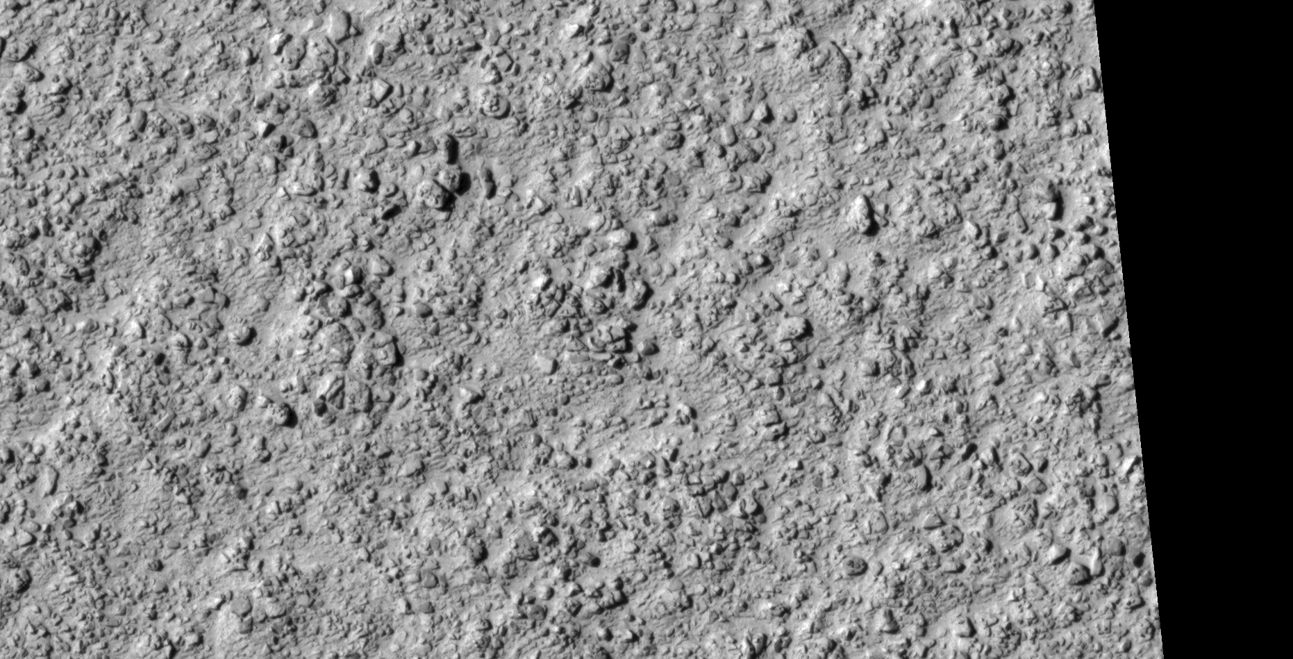
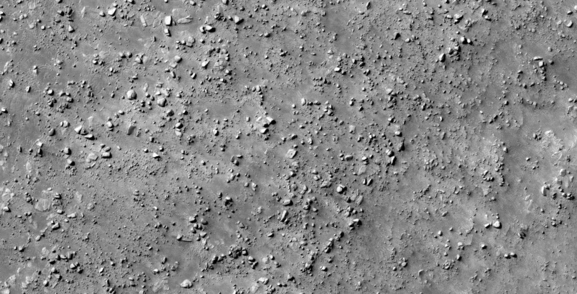
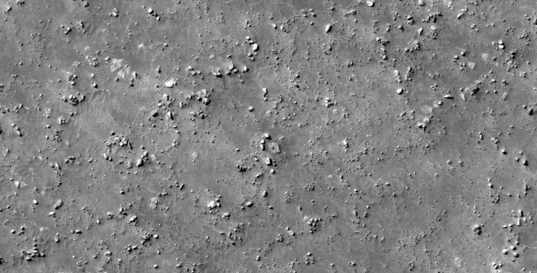
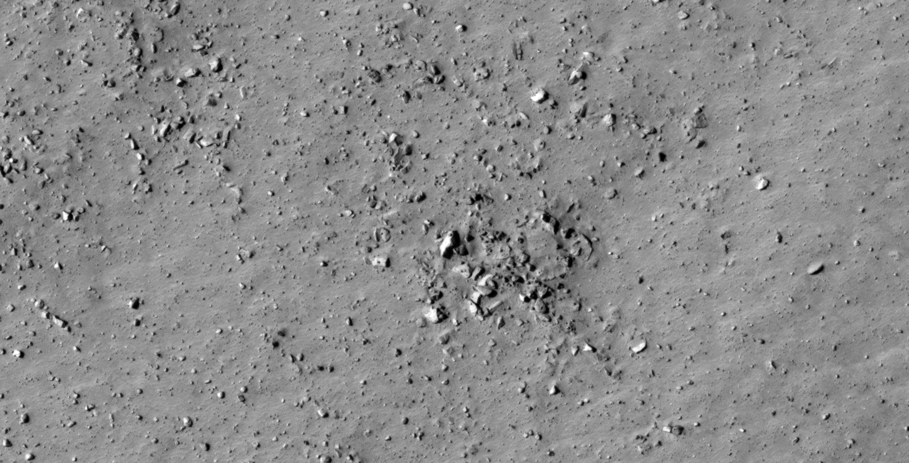
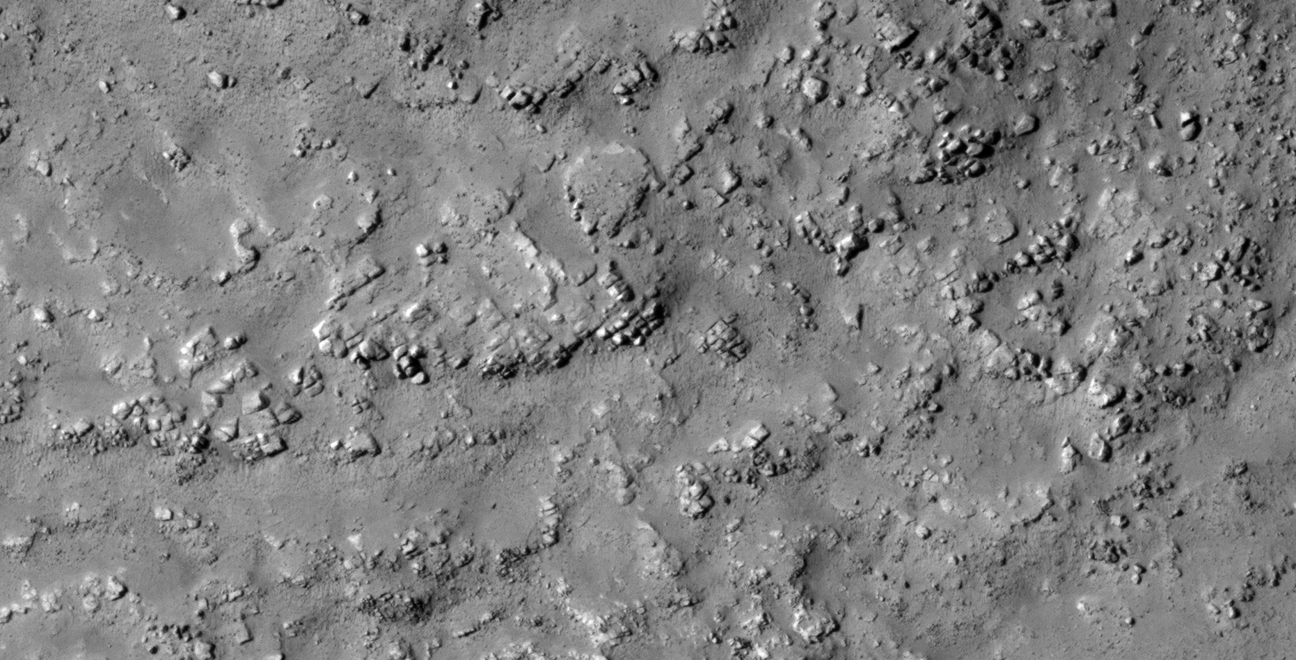
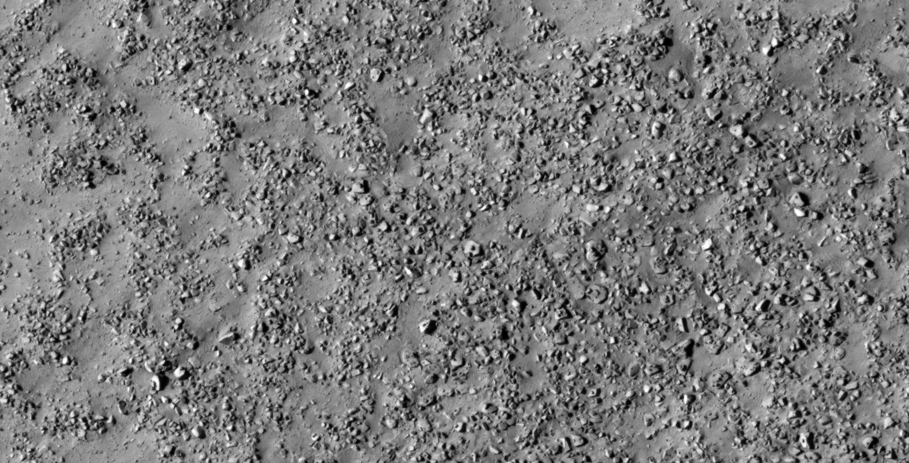
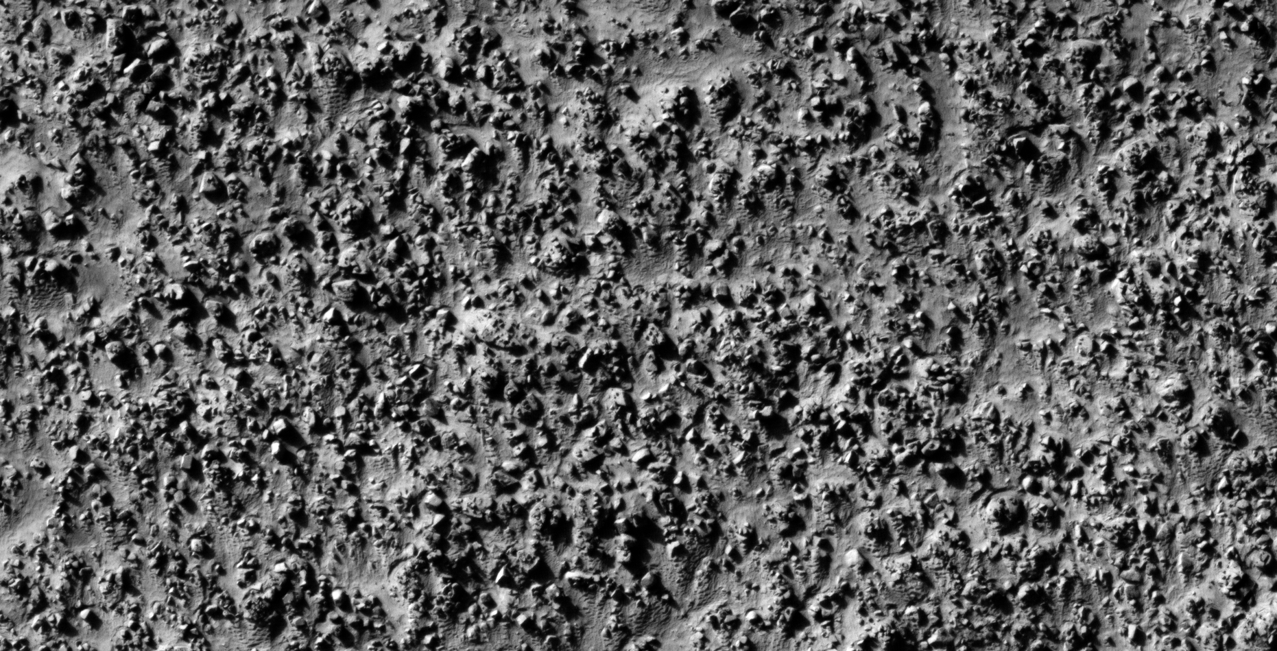
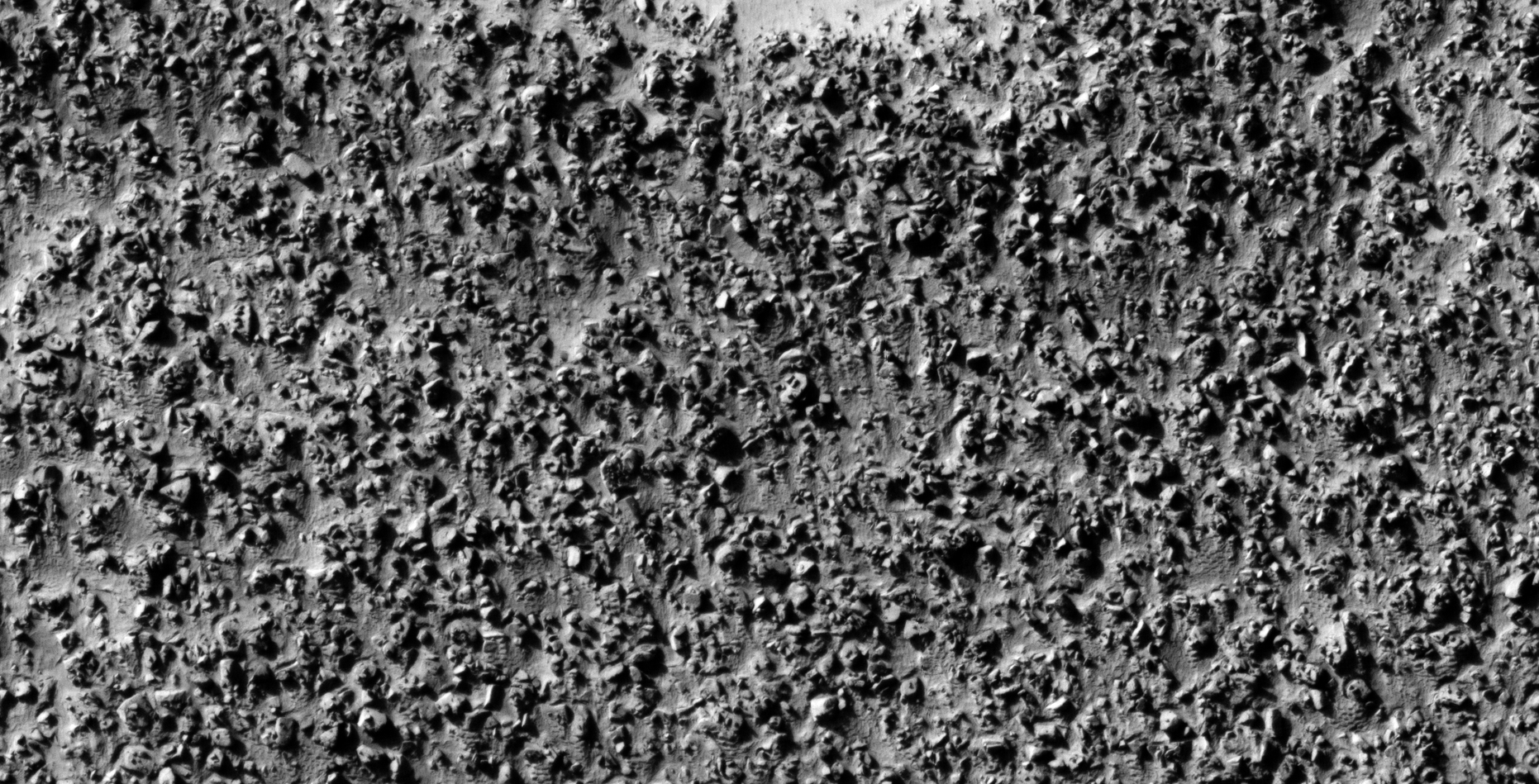
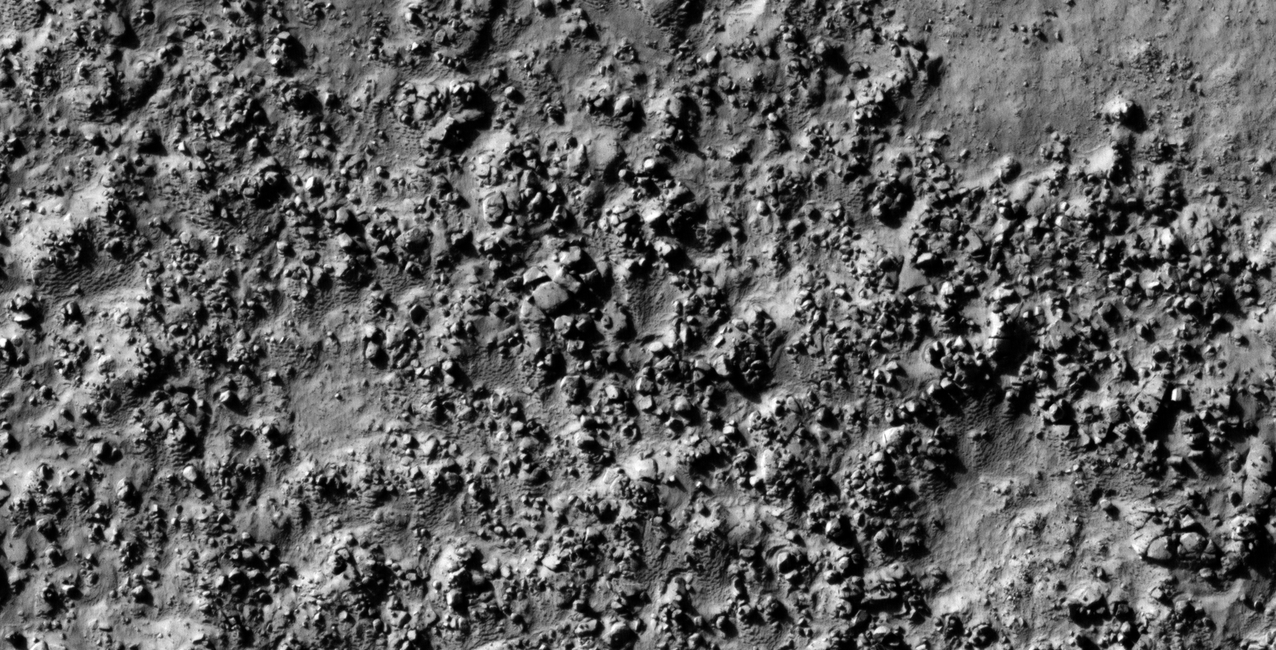
The photograph analyzed here (ESP_015967_1325) was taken by NASA’s Mars Reconnaissance Orbiter on 22 December 2009 describes the photograph as ‘Convergence of Lobate Crater Fill.’
Here I speculate that I discovered further evidence of megalithic blocks with knobs, what appears to be wreckage of some type of machinery or technology.
I further speculate that some of the anomalies look like hatches and others like they may have been arranged to be covers to underground entrance-ways.
In some cases I cannot say for certain whether the respective anomalies or artefacts are megalithic or wreckage.
Perhaps a surviving race of beings in using this debris/wreckage as structures or buildings/habitats.
Anyway, everything shown here seems to have been destroyed as is the case with all the other ruins I’ve covered in previous posts/video’s.
Could there be a spiritual significance to the pattern we see in the small features arranged in triangles/rows on top of the larger megalithic blocks/slabs?
Multi-layered object with slots or openings located to the bottom right (one opening is in the shape of an arc while the smaller one is in the shape of a rectangle), also three smaller features or knobs are located on each corner (click for larger image)Broken megalithic block with four smaller features or knobs on the surface (click for larger image)Multiple metallic-looking objects with smaller features, parts or knobs on top. Note the straight edges and geometry. Could these objects be megalithic blocks/slabs or parts machinery/technology or maybe a combination of both? (click for larger image)Megalithic block, note the geometric shape and the weird piece sticking out to the left. Next to the block is what appears to be a dome-like feature with small knob on the surface (click for larger image)Square, convex hatch-type anomaly on the Martian surface covered in smaller wreckage or metallic-type parts (click for larger image)Pile of mechanical parts and bent metallic-type sheet metal? Note the smaller pipe-like features or parts on the rhombic-shaped part located middle top of the image (click for larger image)Multiple metallic-looking objects with smaller features, parts or knobs on top. Note the straight edges and geometry. Could these objects be megalithic blocks/slabs or parts machinery/technology or maybe a combination of both? (click for larger image)Multiple metallic-looking objects with smaller features, parts or knobs on top. Note the straight edges and geometry. Could these objects be megalithic blocks/slabs or parts machinery/technology or maybe a combination of both? (click for larger image)Pile of mechanical parts and bent metallic-type sheet metal? Note the two smaller parts with little knobs or dome on them sticking out of the larger bright part located in the center of the image. There are also some megalithic blocks with knobs scattered around (click for larger image)Strange megalithic blocks, note the geometry of the one located to the middle right of the image (definitely custom-made). The block located to the middle left has a long, narrow (darker) feature on the surface (unlike the knobs we keep seeing) (click for larger image)Parts of a mechanism or megalithic blocks? Note the rectangular depression with a small triangular feature in the center of the object located top left of the image. The object located to the bottom, far right in the image looks like a car exhaust silencer with a pipe sticking out the one side. There is also a knob or small feature on the surface of the object located towards the middle bottom in the image (click for larger image)Partially buried megalithic slab or metal plate? Note the straight edges and right-angle, note the strange square piece sticking out of the right-hand side. A dome-like feature as well as rhombic feature with small dome in the center can be seen on top of the surface (click for larger image)Two symmetrical, plectrum-shaped objects next to one another with smaller features or parts on top. There is also a square object with a smaller part sticking out of the opening located to the left top part of the image directly next to the main object (click for larger image)Mechanical device or technology? Note the smaller parts or features on the left side of the object and the layered, bent and torn sections to the right of the object. The bright rectangular piece with rounded corner sticking out of the side looks like it may be made of a different type of material (click for larger image)Megalithic slab or piece of metallic-type technology? The main part on top of the other seems to have two smaller features or knobs on the surface (click for larger image)Layered/stepped objects, the part to the right has two medium sized and two smaller knobs on the surface (click for larger image)Multiple metallic-looking objects with smaller features, parts or knobs on top. Note the straight edges and geometry. Could these objects be megalithic blocks/slabs or parts machinery/technology or maybe a combination of both? (click for larger image)Disc-shaped object with dome-like feature or knob in the center, note the bright metallic looking parts scattered about. The piece located to the right of the image looks like a small winglet (click for larger image)Irregular metallic-type disc-shaped object with small feature or knob on the surface, another little winglet can be seen to the right. Note thew weird object in the bottom right of the image (mechanical parts?) (click for larger image)Multiple metallic-looking objects with smaller features, parts or knobs on top. Note the straight edges and geometry. Could these objects be megalithic blocks/slabs or parts machinery/technology or maybe a combination of both? (click for larger image)Pile of metallic-type torn sheet-metal/plates and parts. These objects look very artificial, could they be from some type of technology? (click for larger image)Another pile of metallic-type torn sheet-metal/plates and parts. These objects look very artificial, could they be from some type of technology? (click for larger image)Multiple small winglets and smaller parts scattered about (click for larger image)Metallic bent plate-type objects or megalithic blocks? The object to the right in the image appears to be a rectangular metal plate of some type with a bent piece and a small feature or knob on top (click for larger image)Pile of megalithic blocks and slabs, note the strategically places knobs on the surfaces (click for larger image)Multiple metallic-looking objects with smaller features, parts or knobs on top. Note the straight edges and geometry. Could these objects be megalithic blocks/slabs or parts machinery/technology or maybe a combination of both? Note the mechanical look of the object located to the bottom right in the image (click for larger image)Pile/layers of metallic-type mechanical/technological junk. The metal looks bent and torn apart (click for larger image)Megalithic block with small feature or knob on the top side, note the straight sides and right-angles. There is also a weird triangular object located to the top left of the image. The object located to the middle right in the image also has a small feature of knob on the surface (click for larger image)Megalithic slabs or metallic-type objects? Note the four smaller features, parts or knobs in a row on top of the larger objects surface (click for larger image)Long, narrow rectangular megalithic block or metal plate/sheet? (click for larger image)Broken megalithic blocks with knobs (click for larger image)Bent metallic-type metal plates, note the placement of the two smaller square parts on top of the narrow rectangular piece (click for larger image)Large, partially buried flat disc-shaped object with smaller features or knobs arrange in a circular patter on the surface (click for larger image)Broken megalithic blocks or slabs with small knobs or domes on top (click for larger image)Megalithic blocks with three smaller features or knobs on top strategically located in the center of a circular opening, another small winglet can be seen to the lower left of the image as well as a object with two small rectangular features on top (click for larger image)A flat plectrum-shaped disc-like object with smaller features or knobs strategically arranged in a circular pattern on the surface (click for larger image)Part of a machine/technology or megalithic block? An oblong dome-shaped feature is seen on the one side (click for larger image)Partially buried triangular slab with rounded apex, smaller features or pieces cover the surface (click for larger image)To the left in the image, a thin metallic-type part sticking out of the sand. A large flat slab-like object covered in small features on the surface located in the center of the image (click for larger image)Another pile of metallic-type sheet-metal/plates and parts. These objects look very artificial, could they be from some type of technology? Note the strategically placed smaller features, parts or knobs (click for larger image)A flat hexagonal disc-like object, note the two narrow, rectangular features running in parallel on the surface of the object. Two small dime-like features can be seen on the surface as well (click for larger image)Rectangular megalithic block, note the small knob on the right-hand side. The bottom part has a weird shape to it, almost like a jagged edge (click for larger image)Another pile of junk, note the geometry in the pieces (click for larger image)A partially buried, bright metallic-type hexagonal object with straight edges and rounded corner. Another bright piece is sticking out to the bottom left of the image (click for larger image)Very bright, eroded megalithic cube/block (click for larger image)Megalithic blocks with a long narrow rectangular feature or knob on top, unlike the other dome-like knobs we see in all the other anomalies (click for larger image)Megalithic slab or metallic-type sheet metal/plate object with small feature or knob in the center of the object (click for larger image)Could this almost square convex object with small knob in the center be another hatch? (click for larger image)Another symmetrical, plectrum-shaped object with two rows of three equally spaced knobs each (click for larger image)Partially buried megalithic cube/block surrounded by other megalithic slabs with smaller features or knobs on tier surfaces (click for larger image)Another pile of metallic-type sheet-metal/plates and parts. These objects look very artificial, could they be from some type of technology? Note the strategically placed smaller features, parts or knobs (click for larger image)Machinery/technology? Note the layered metallic plates formed into right-angles as well as the three some-like features or parts in a row on top of the surface (click for larger image)Another pile of metallic-type sheet-metal/plates and parts. These objects look very artificial, could they be from some type of technology? Note the strategically placed smaller features, parts or knobs (click for larger image)Another pile of metallic-type sheet-metal/plates and parts. These objects look very artificial, could they be from some type of technology? Note the strategically placed smaller features, parts or knobs (click for larger image)Broken megalithic block or part of a machine or technology? Note the geometry in the shape and the smaller feature or knob to the left. The semi-circular feature to the right looks highly artificial/designed (click for larger image)Rectangular megalithic block with smaller feature or knob on the surface, note the rectangular piece cut out of the bottom part (click for larger image)Another pile of metallic-type sheet-metal/plates and parts. These objects look very artificial, could they be from some type of technology? Note the strategically placed smaller features, parts or knobs (click for larger image)Pile of bent metallic-type metal sheet/plates, note the straight edges and right-angles (click for larger image)Another pile of bent metallic metal sheets/plates? (click for larger image)Metallic-type metal sheet/plate, note the straight edges and right-angles as well as the three equally spaced features or parts on top of the surface (click for larger image)Layered metallic-type metal sheets with small, dark dome-like features or parts on the surface (click for larger image)Another long, narrow rectangular megalithic block or metal plate/sheet? (click for larger image)Note the object located to the middle top of the image that looks like a bent propeller (click for larger image)Another pile of metallic-type sheet-metal/plates and parts. These objects look very artificial, could they be from some type of technology? Note the strategically placed smaller features, parts or knobs (click for larger image)An excellent example of a knob sticking out of a larger object; note the small hexagonal knob to the bottom left of the main object and how it joins to it. A rectangular megalithic block is seen lying on top of the main object (click for larger image)Another pile of metallic-type sheet-metal/plates and parts. These objects look very artificial, could they be from some type of technology? Note the strategically placed smaller features, parts or knobs (click for larger image)Another pile of triangular-shaped metallic-type sheet-metal/plates and parts. These objects look very artificial, could they be from some type of technology? Note the strategically placed smaller features, parts or knobs (click for larger image)
Images saved from within HiView or CTX viewer do not include image scale indicators. The image scale indicators I include in images are based on the official resolutions provided by NASA and although I strive to be as accurate as possible there may be slight deviations from the actual scale. Image scale indicators are included as a size approximation tool only.
Geometry lines are mapped as accurately as possible using the limited information, data and mapping tools available at the time, therefore the lines may deviate from target sites by a few kilometres. Revisions may be made in the future as new, more precise information, data and mapping tools become available.
Many or all of the anomalies/artefacts covered in this presentation may be naturally occurring geological features caused by some type of geological processes, however due to the lack of specific information from the source we can only speculate whether these are all natural or some artificial in nature.
In cases where I say an anomaly looks like something I’m attempting to clarify what I see and not specifically that the anomaly is what I say it looks like.
My intention is only to share anomalies I’ve discovered on Mars and not to convince anyone that there is or was a civilization on Mars.
As Will Farrar from WhatsUpInTheSky says: “I see what I see, you see what you see.”
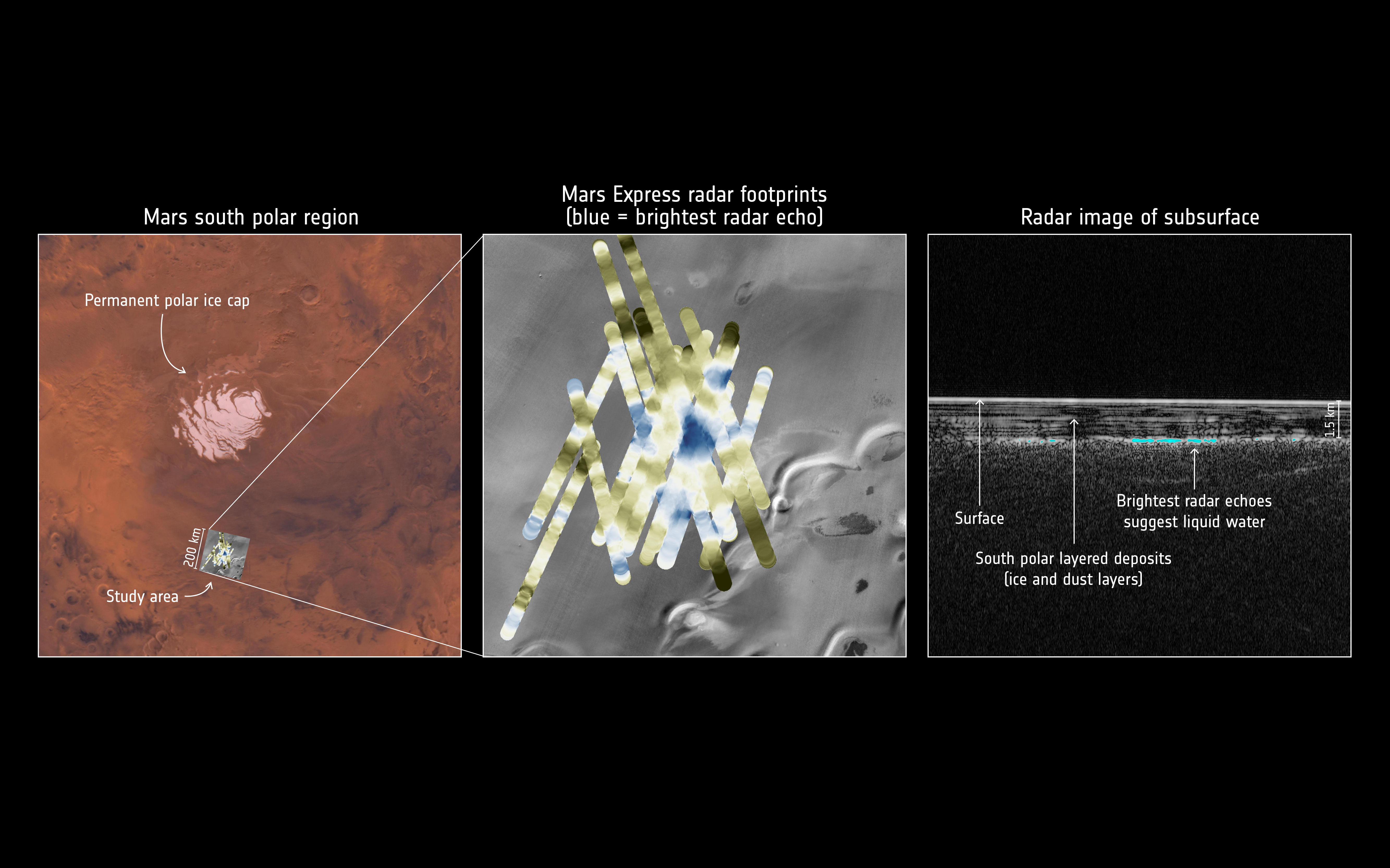
On 25 July 2018 the ESA announced that it’s Mars Express Orbiter discovered a huge liquid water lake under the Martian surface near the South Pole using its on board radar.
ESA images showing details of the recent discovery (click for larger image)
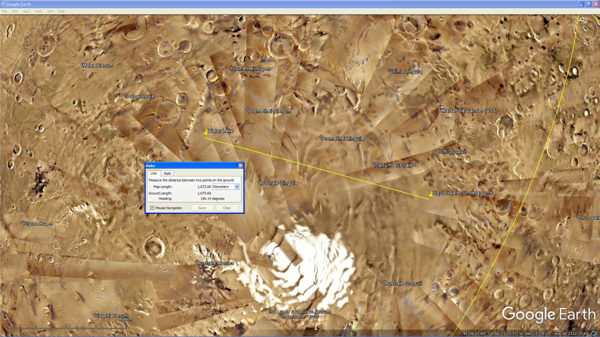
About 1000 km to the west, in an MOC photograph (M0901354) taken by NASA in 1999, we can see what appears to be a lake surrounded by vegetation as well as what looks like a long, straight, artificial shore-line to the West with equally spaced and sized anomalies in a straight line.
An area showing a lake on the Martian surface about 1000 km to the west of the underground liquid water lake (click for larger image)
A MRO HiRISE photograph (ESP_023024_1010) taken of the same area about 12 years later shows the lake, however it seems it has either dried up or frozen over. The surrounding vegetation also seems to have died and vanished.
I speculate that due to the pressure Elon Musk’s SpaceX and their race to Mars is placing the agencies involved in a decades long cover up, the truth is being revealed in a slow, soft disclosure fashion.
I further speculate that we will soon hear that liquid water has been discovered on the Martian surface.
Recent disclosure/confirmation events:
Here is a list of the latest disclosure or confirmation events that have reached mainstream news recently, note the short time frame:
The following MRO CTX photograph (F12_040281_0982_XN_81S165W) shows the general area in which the ESA discovered the underground liquid water lake:
Area to the north of CTX photograph (F12_040281_0982_XN_81S165W) (click for larger image)Area to the south of CTX photograph (F12_040281_0982_XN_81S165W) (click for larger image)
Lake and vegetation found on Mars:
The two photographs analysed below show what appears to be a lake on the Martian surface.
The first photograph (M09-01354) shows what looks like liquid water and vegetation surrounding the lake.
Lake and vegetation found on Mars, note the artificial shore-line to the left with equally spaced and sized anomalies in a straight line (M09-01354) (click for larger image)
The second photograph (ESP_023024_1010) taken about 12 years later appears to show a dried up lake bed and it looks like the vegetation surrounding it has died.
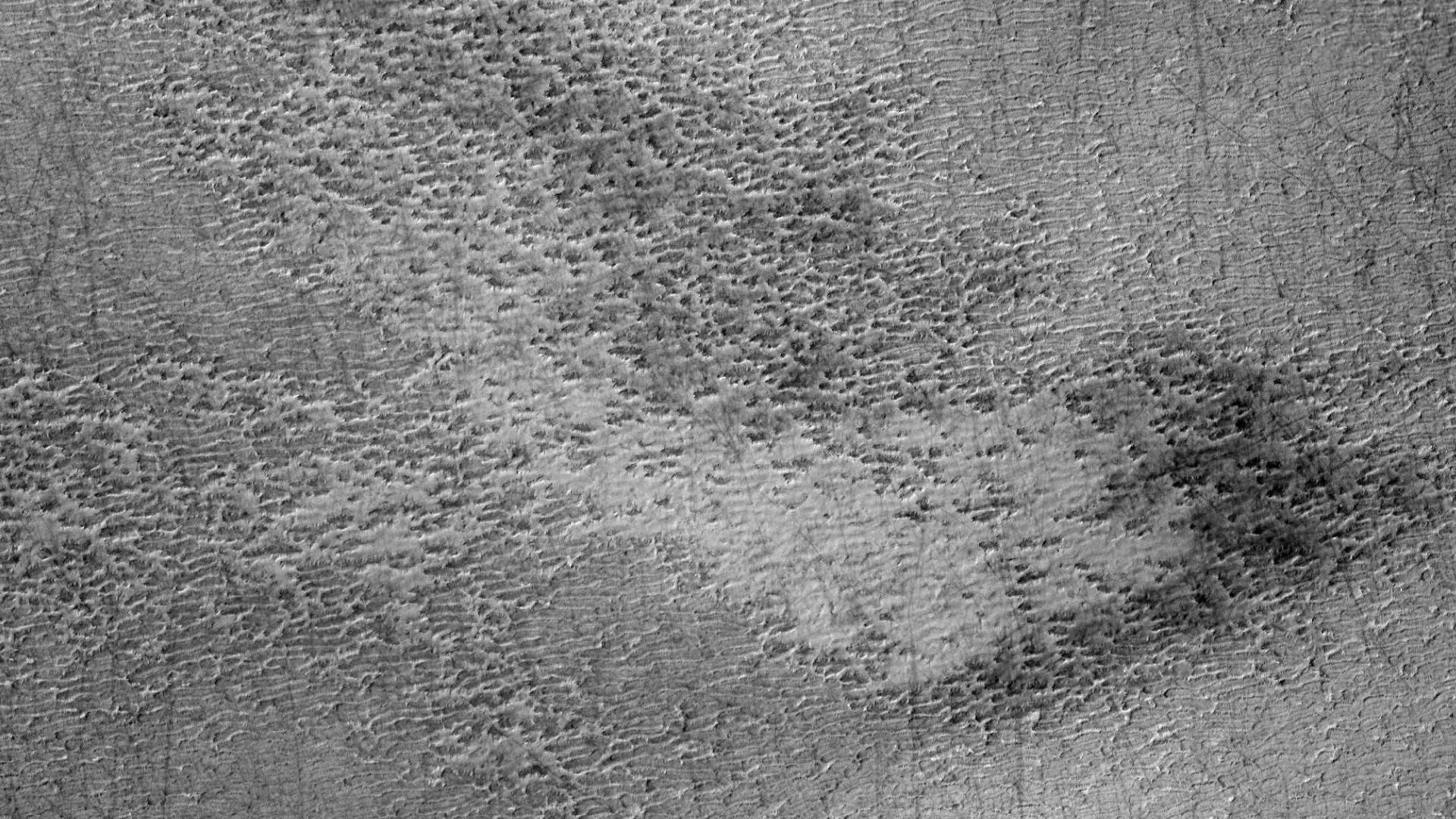
The following images show a smaller lake located to the north in this CTX photograph:
Smaller Lake to the north (zoomed out) (click for larger image)Smaller Lake to the north (click for larger image)Smaller Lake to the north (click for larger image)
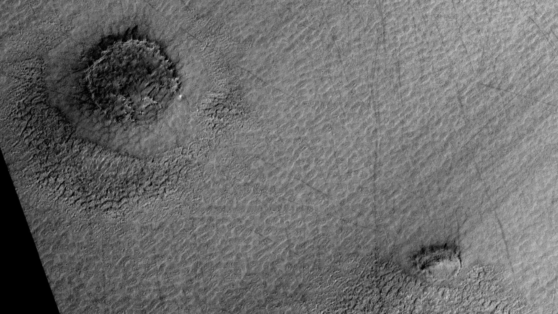
The following images show a larger lake located to the south in this CTX photograph:
Larger Lake to the south (zoomed out) (click for larger image)Larger Lake to the south (click for larger image)Larger Lake to the south (click for larger image)Larger Lake to the south (click for larger image)Larger Lake to the south (click for larger image)Larger Lake to the south (click for larger image)Larger Lake to the south (click for larger image)Larger Lake to the south (click for larger image)Larger Lake to the south (click for larger image)Larger Lake to the south (click for larger image)
Upon closer inspection it looks like the shore-line of the larger lake in the earlier photograph is narrower than in the second photograph indicating the presence of might very well be water, therefore the deduction can be made that the shore-line being wider in the second photograph is as a result of the lack of water.
The vegetation may have died or dried out due to a seasonal change, e.g. being winter at the time the second photograph was taken. We have seen dramatic changes on the Martian surface during summer months when liquid water is seen seeping out of the sand and running down gullies, etc. It might be that the vegetation may return during summer months on Mars.
Images saved from within HiView or CTX viewer do not include image scale indicators. The image scale indicators I include in images are based on the official resolutions provided by NASA and although I strive to be as accurate as possible there may be slight deviations from the actual scale. Image scale indicators are included as a size approximation tool only.
Geometry lines are mapped as accurately as possible using the limited information, data and mapping tools available at the time, therefore the lines may deviate from target sites by a few kilometres. Revisions may be made in the future as new, more precise information, data and mapping tools become available.
Many or all of the anomalies/artefacts covered in this presentation may be naturally occurring geological features caused by some type of geological processes, however due to the lack of specific information from the source we can only speculate whether these are all natural or some artificial in nature.
In cases where I say an anomaly looks like something I’m attempting to clarify what I see and not specifically that the anomaly is what I say it looks like.
My intention is only to share anomalies I’ve discovered on Mars and not to convince anyone that there is or was a civilization on Mars.
As Will Farrar from WhatsUpInTheSky says: “I see what I see, you see what you see.”
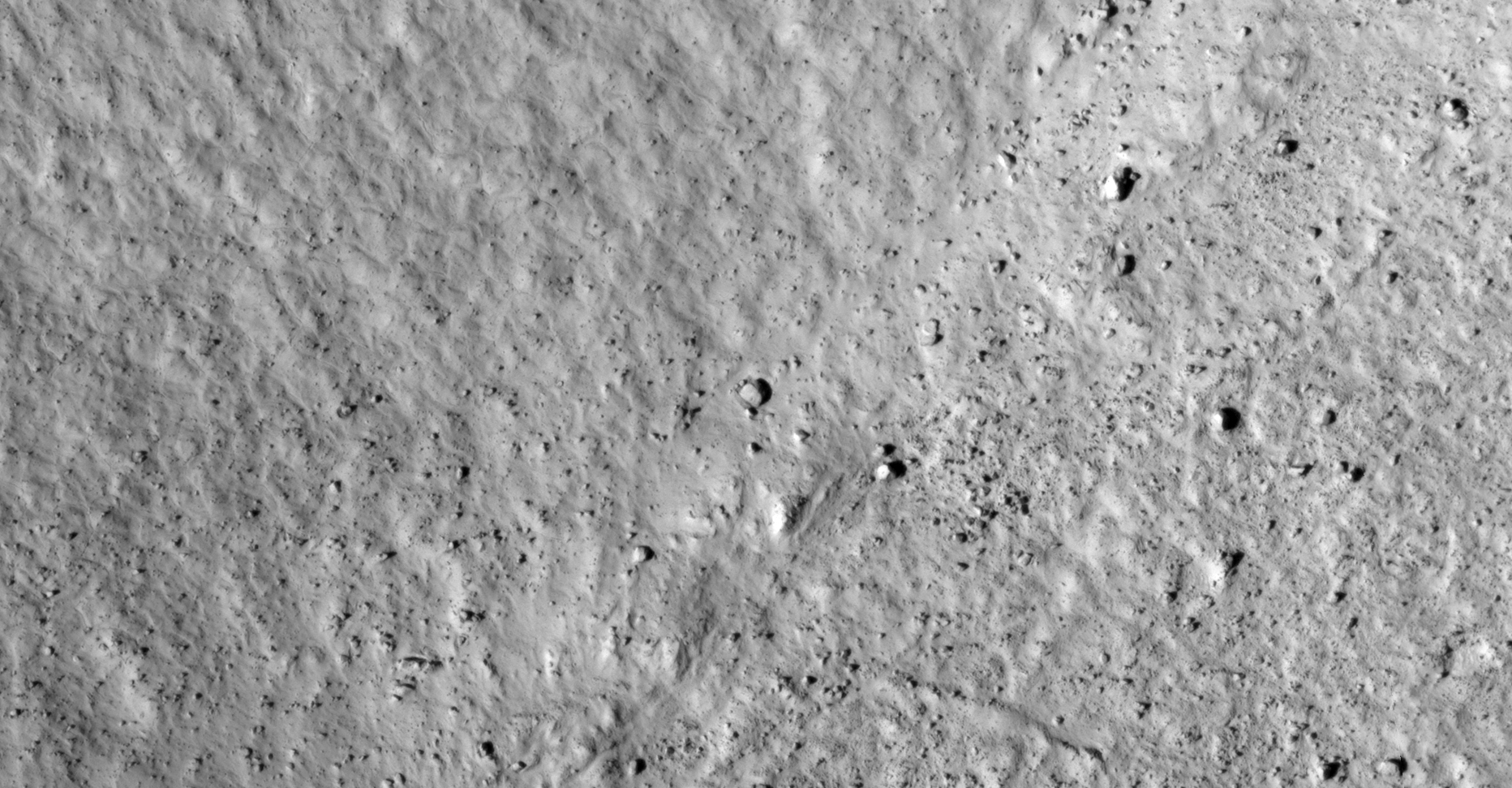
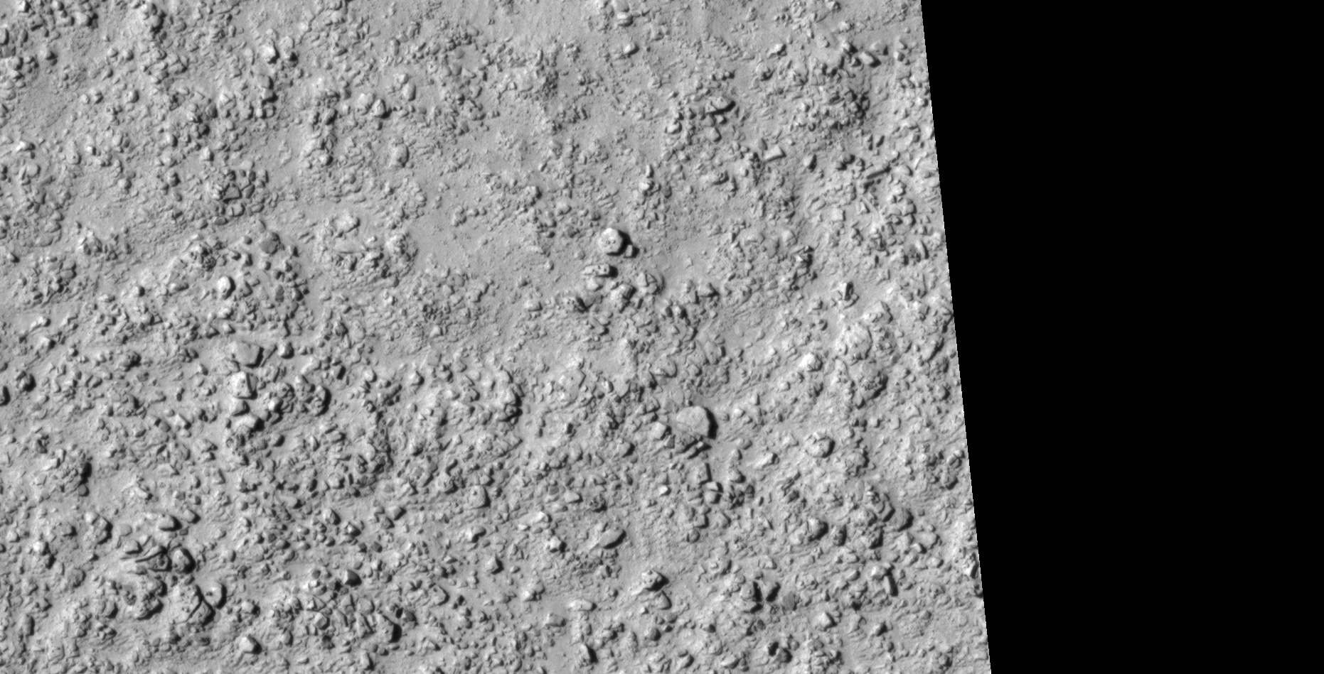
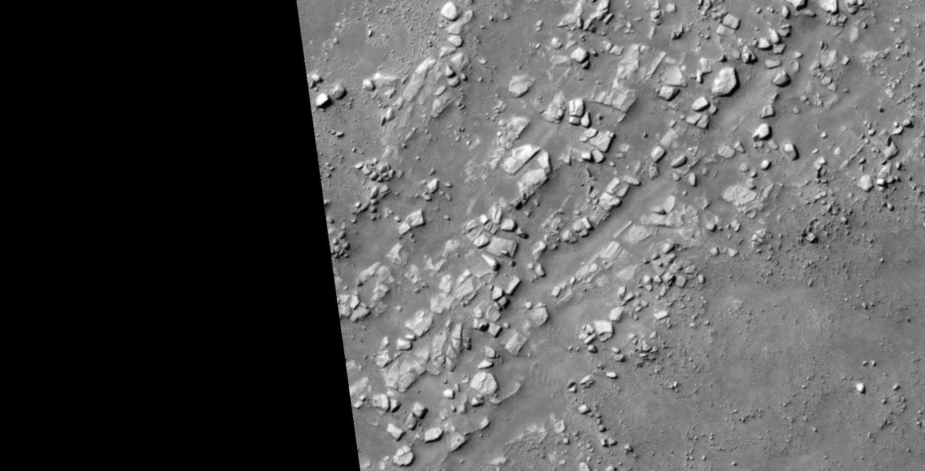
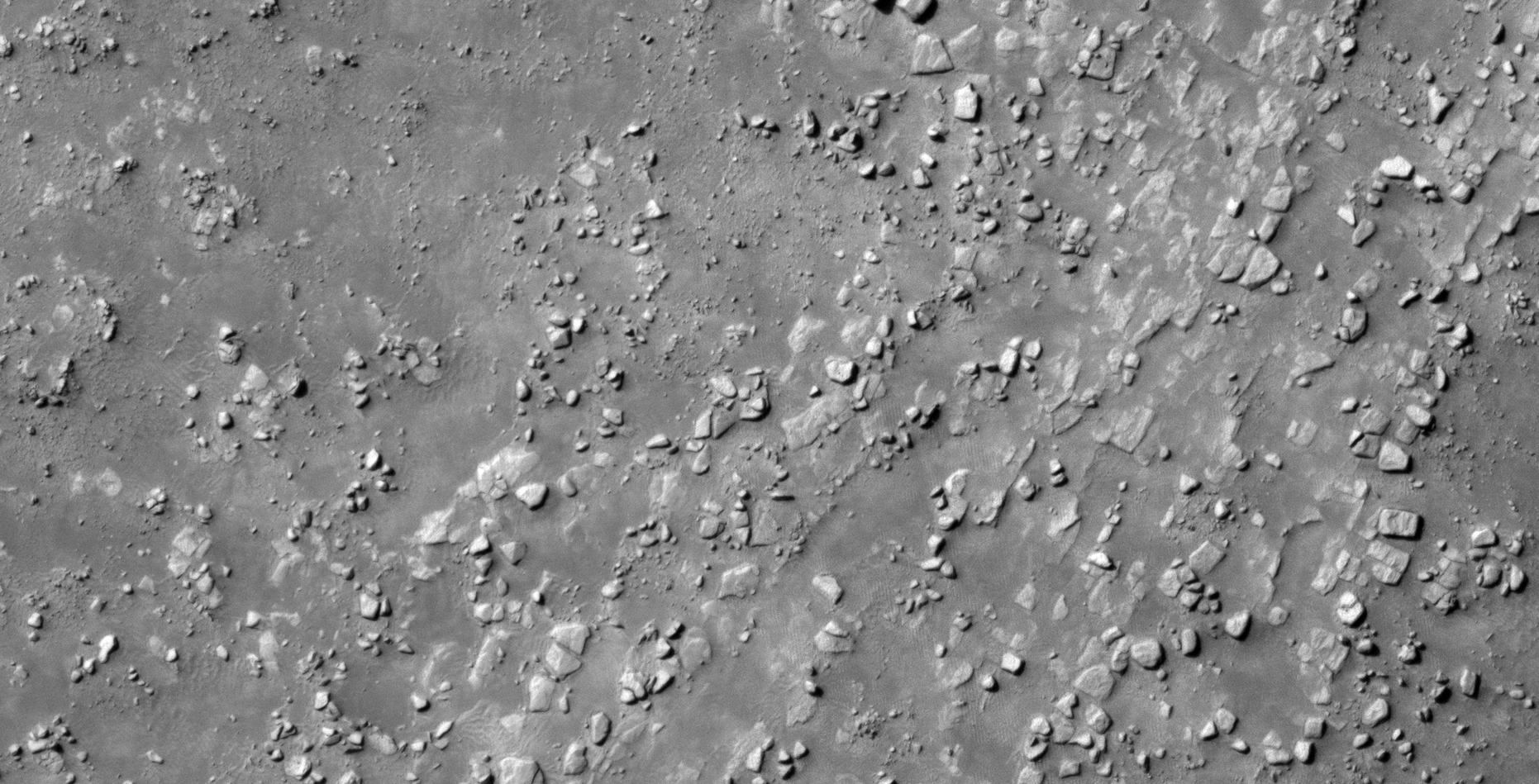
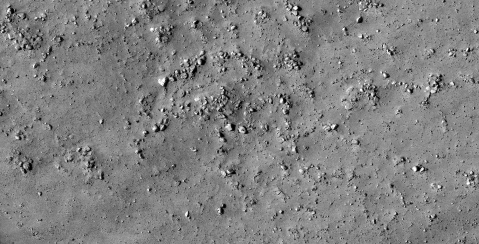
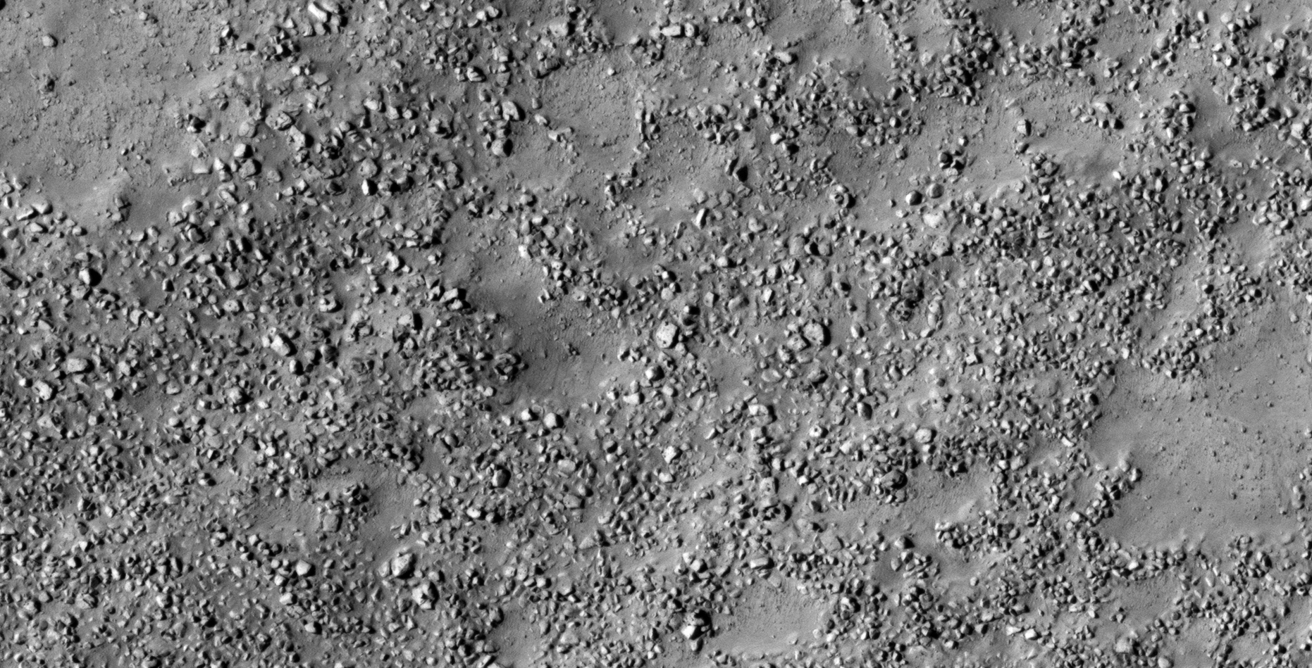
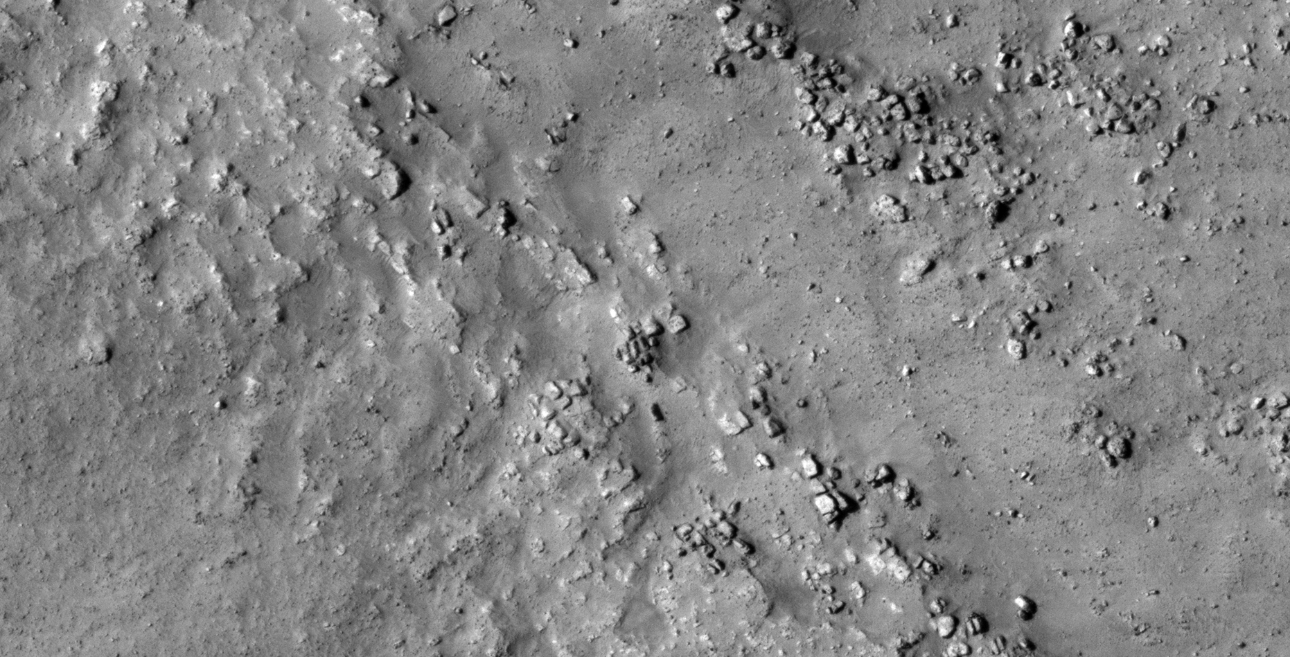
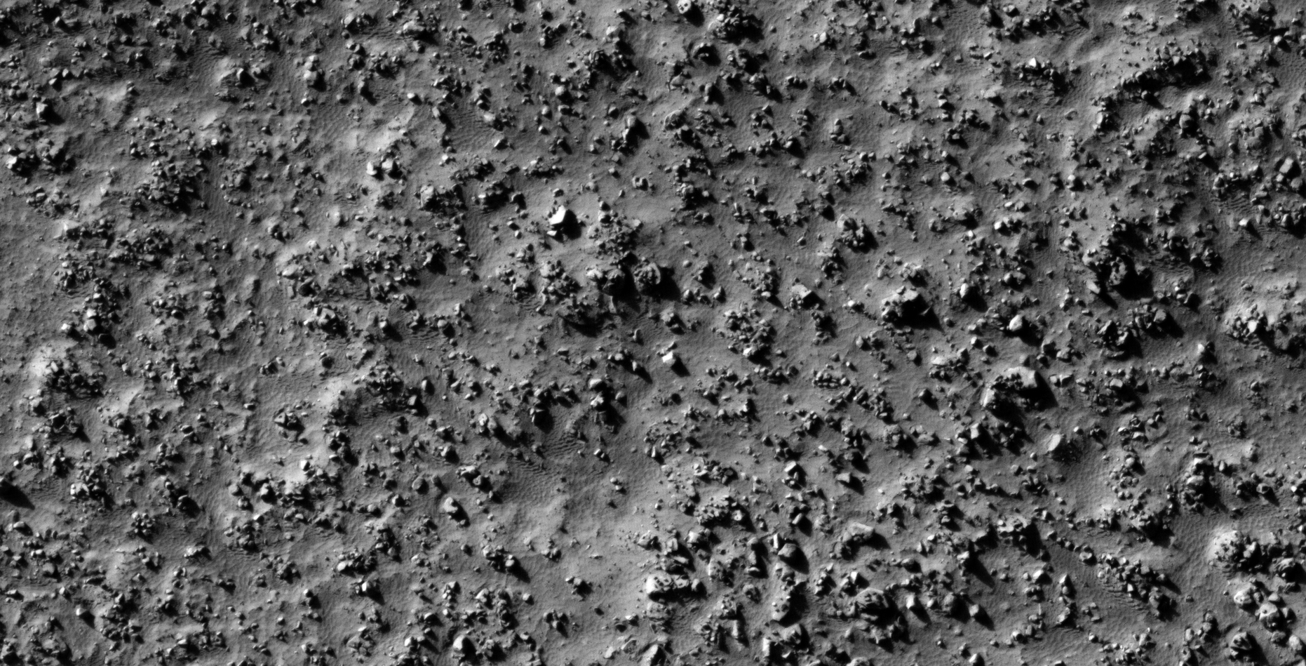
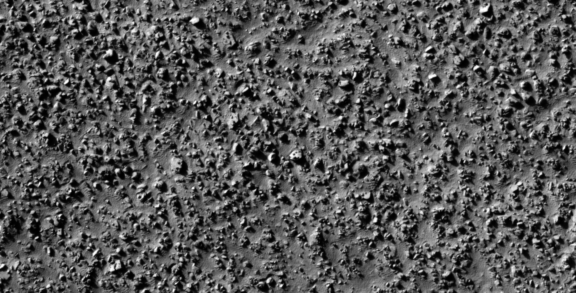
The photograph analyzed here (ESP_019077_2270) was taken by NASA’s Mars Reconnaissance Orbiter on 22 August 2010 describes the photograph as ‘Debris Apron in Phlegra Montes.’
More megalithic blocks, some with smaller dome-like features or knobs and perhaps wrecked machinery or technology.
Not shown in these images: Grid-like surface structures cover certain area’s of this area as well as what appear to be structures covered in sand. There are hints of underground entrances as well.
Rectangular megalithic block measuring approximately 12 metres tall by 4 metres wide, note the small knob or feature on the one side (click for larger image)Broken megalithic block with smaller knob or feature on top (click for larger image)Megalithic block with rounded corners and a smaller feature or knob located on the one side. Note the strange shadow this block casts, perhaps this object is mechanical/technological in nature (click for larger image)Megalithic block or object that is mechanical/technological in nature? (click for larger image)Object consisting of mechanical/technological parts? (click for larger image)Rectangular megalithic block or object that is mechanical/technological in nature? Note the two smaller features or parts sticking out of the sides (click for larger image)Rectangular megalithic block or object that is mechanical/technological in nature? Note the rectangular indentation to the right of the long narrow feature or knob on top (click for larger image)Megalithic block or object that is mechanical/technological in nature? Note the smaller feature or knob on top in the middle of a geometric pattern (click for larger image)Megalithic block or object that is mechanical/technological in nature? Note the smaller features or knobs on top of the surface (click for larger image)Megalithic block or object that is mechanical/technological in nature? Note the smaller feature or knob on top of the surface (click for larger image)A megalith block with a v-shaped opening or slot, a smaller feature or knob is located on the surface of the left part (click for larger image)Rectangular megalithic block or object that is mechanical/technological in nature? Note the smaller feature or knob on top of the surface (click for larger image)Long, narrow rectangular object with a rounded side, note the smaller feature or knob in the center of the one side (click for larger image)Hexagonal-shaped object with what appears to be a large, convex pipe-like part to the right, note the small feature or knob located in the center of the on side. Is this object perhaps mechanical/technological in nature? (click for larger image)Object with three smaller parts, features or knobs on the top, note the symmetry in the design (click for larger image)Rectangular megalithic block with smaller features or knobs on the one side, or perhaps an object that is mechanical/technological in nature? (click for larger image)Square object with rounded corner and small features or knob located in the center of the one side (click for larger image)Object with multiple smaller parts, features or knobs on the top, note the symmetry in the design. Could this object be mechanical/technological in nature? (click for larger image)Rectangular megalithic block or object that is mechanical/technological in nature? Note the smaller feature or knob on top of the surface (click for larger image)Rectangular object consisting of mechanical/technological parts? Note the narrow, rectangular piece sticking over the one side (click for larger image)Megalithic block or mechanical/technological object? Note the strange rectangular opening (bottom right) and the narrow slot (top right). Three smaller circular features or parts are visible on the one side (click for larger image)
Images saved from within HiView or CTX viewer do not include image scale indicators. The image scale indicators I include in images are based on the official resolutions provided by NASA and although I strive to be as accurate as possible there may be slight deviations from the actual scale. Image scale indicators are included as a size approximation tool only.
Geometry lines are mapped as accurately as possible using the limited information, data and mapping tools available at the time, therefore the lines may deviate from target sites by a few kilometres. Revisions may be made in the future as new, more precise information, data and mapping tools become available.
Many or all of the anomalies/artefacts covered in this presentation may be naturally occurring geological features caused by some type of geological processes, however due to the lack of specific information from the source we can only speculate whether these are all natural or some artificial in nature.
In cases where I say an anomaly looks like something I’m attempting to clarify what I see and not specifically that the anomaly is what I say it looks like.
My intention is only to share anomalies I’ve discovered on Mars and not to convince anyone that there is or was a civilization on Mars.
As Will Farrar from WhatsUpInTheSky says: “I see what I see, you see what you see.”
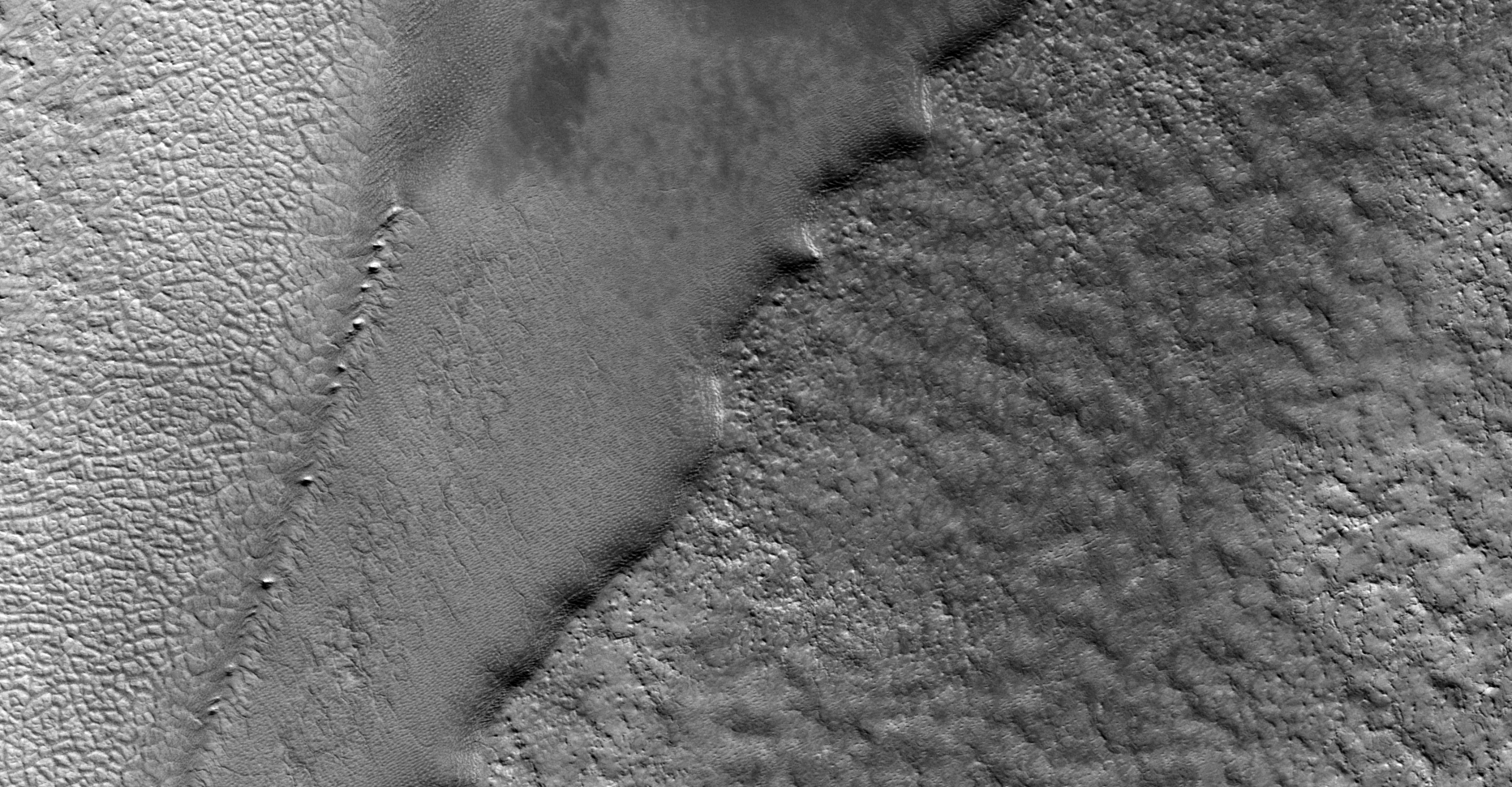
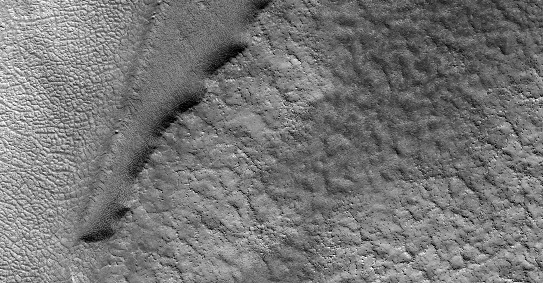
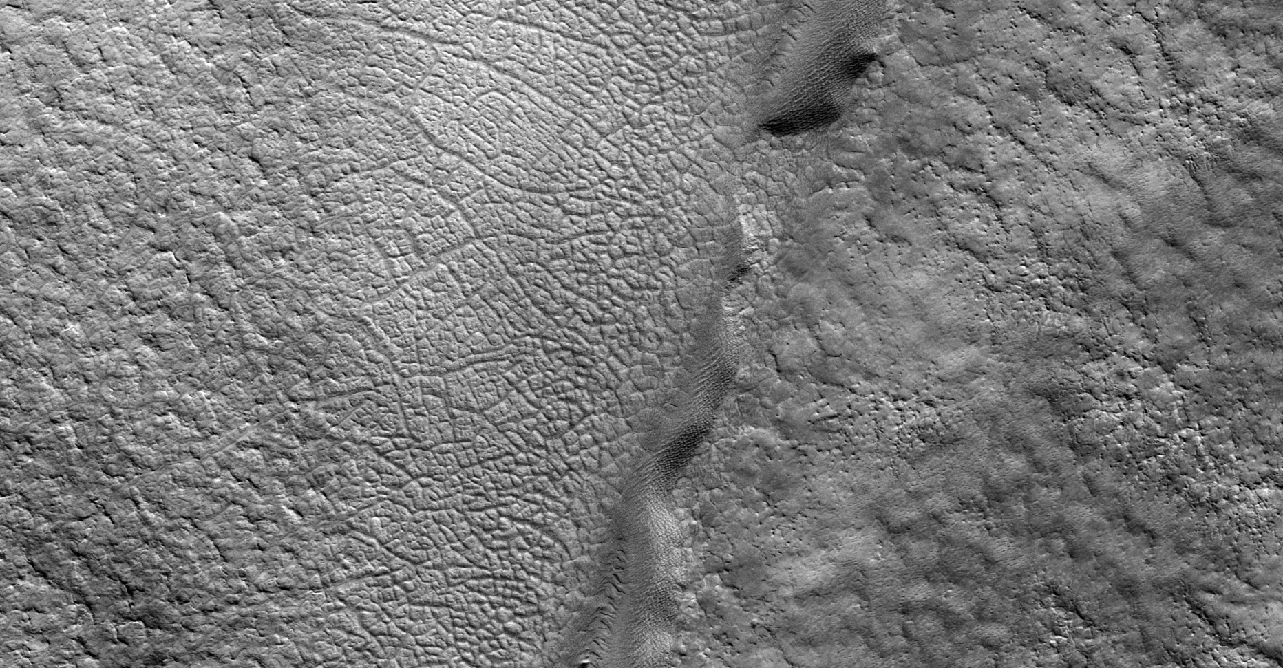
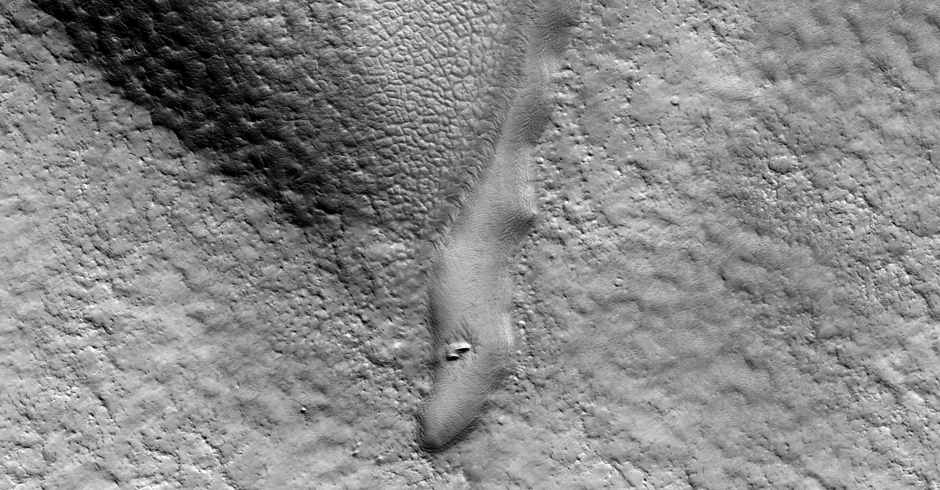
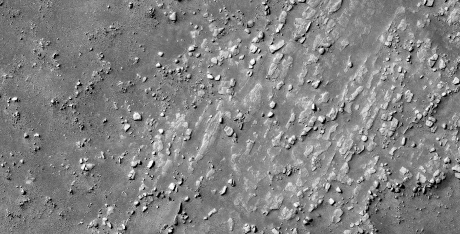
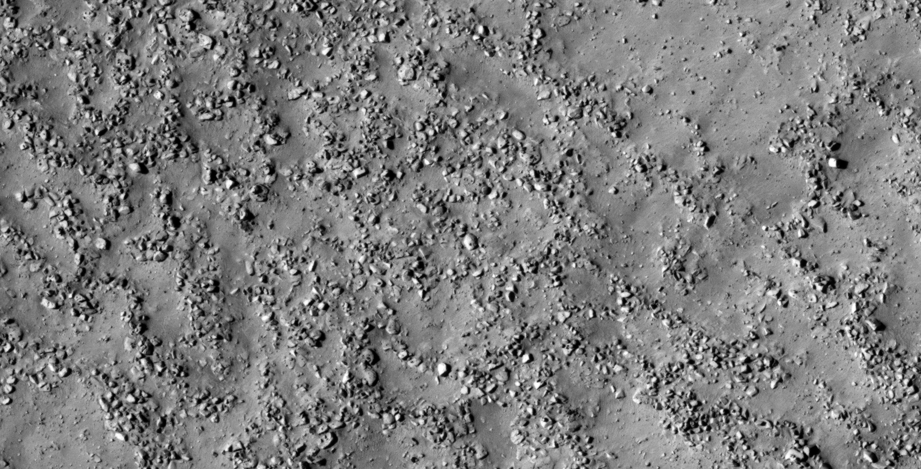
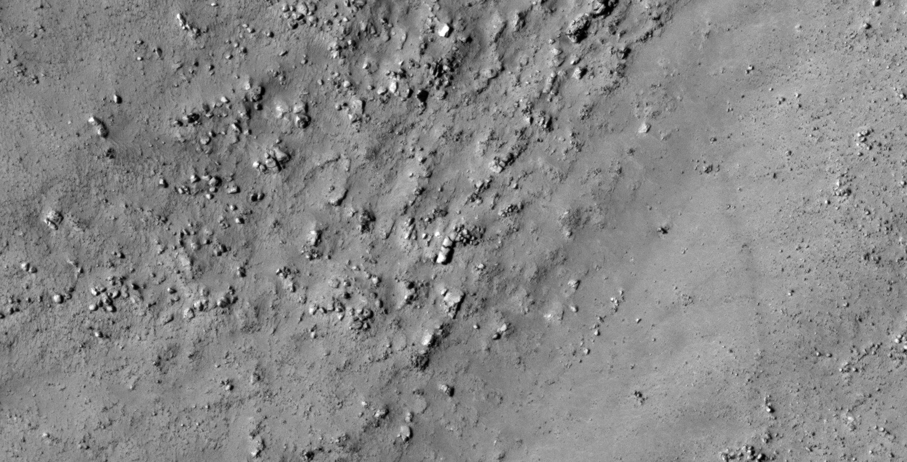
The photograph analyzed here (ESP_035942_2295) was taken by NASA’s Mars Reconnaissance Orbiter on 28 March 2014. NASA describes the photograph as ‘Phlegra Montes Contact with Northern Plains.’
Another massive megalithic block, this one is square with rounded corners and seems to be cracked down the middle with a smaller knob or feature on the one side.
There are also many smaller megalithic blocks with knobs littering the area.
Square object or megalith measuring approximately 12 metres by 12 metres cracked down the middle with smaller knob or feature to the top left (click for larger image)Megalithic block with knob (click for larger image)Megalithic block with knob (click for larger image)Megalithic block with knob (click for larger image)Megalithic blocks with knobs (click for larger image)Megalithic blocks with knobs (click for larger image)Rectangular box-like object with hexagonal-shaped object sticking out of the opening (click for larger image)
In the next Blog and YouTube video I’ll be featuring another huge megalithic block with more weird megaliths with knobs in an area 240 km to the South West:
Rectangular megalithic block measuring approximately 12 metres tall by 4 metres wide, note the small knob or feature on the one side (click for larger image)Broken megalithic block with smaller knob or feature on top (click for larger image)
Images saved from within HiView or CTX viewer do not include image scale indicators. The image scale indicators I include in images are based on the official resolutions provided by NASA and although I strive to be as accurate as possible there may be slight deviations from the actual scale. Image scale indicators are included as a size approximation tool only.
Geometry lines are mapped as accurately as possible using the limited information, data and mapping tools available at the time, therefore the lines may deviate from target sites by a few kilometres. Revisions may be made in the future as new, more precise information, data and mapping tools become available.
Many or all of the anomalies/artefacts covered in this presentation may be naturally occurring geological features caused by some type of geological processes, however due to the lack of specific information from the source we can only speculate whether these are all natural or some artificial in nature.
In cases where I say an anomaly looks like something I’m attempting to clarify what I see and not specifically that the anomaly is what I say it looks like.
My intention is only to share anomalies I’ve discovered on Mars and not to convince anyone that there is or was a civilization on Mars.
As Will Farrar from WhatsUpInTheSky says: “I see what I see, you see what you see.”


-Large.gif)