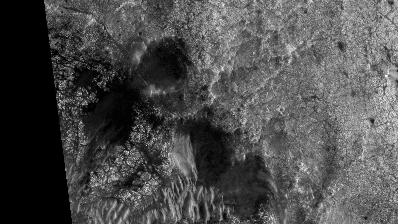
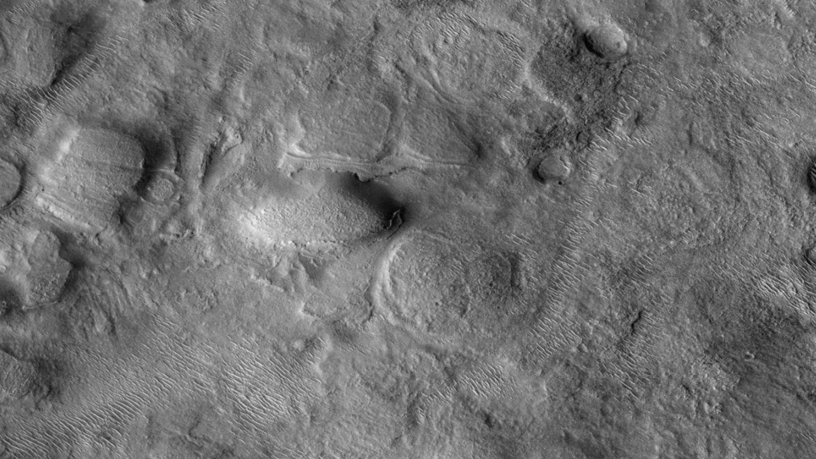
This photograph (ESP_028440_1100) was taken by NASA’s Mars Reconnaissance Orbiter (MRO) HiRISE Camera on 20 August 2012.
NASA describes this photograph as “USGS Dune Database Entry Number 1650-697.”
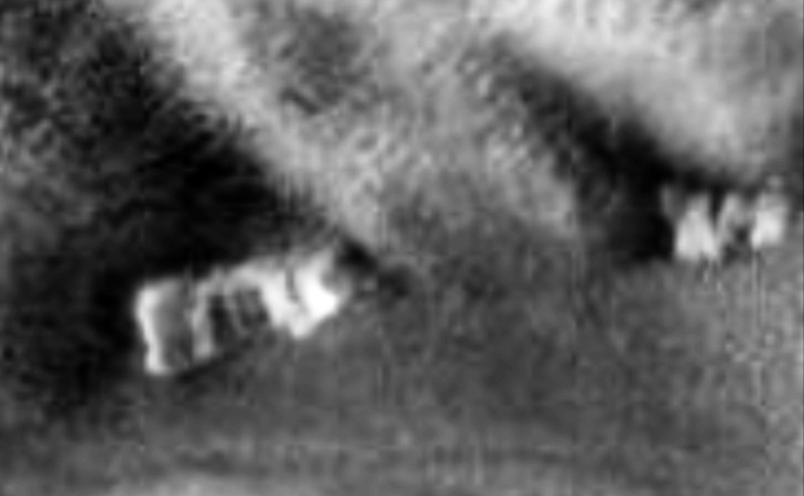
The name says it all … perhaps the image guys at NASA didn’t know what to make of these weird pyramid-like anomalies either.
The anomalies appear to consist of chevron-type centres and triangular-type pyramids on opposite sides and they look virtually identical. I see geometry, symmetry and structure in these anomalies.
Weird Pyramid-Like Structures found on Mars? – I (click for larger image)Weird Pyramid-Like Structures found on Mars? – II (click for larger image)
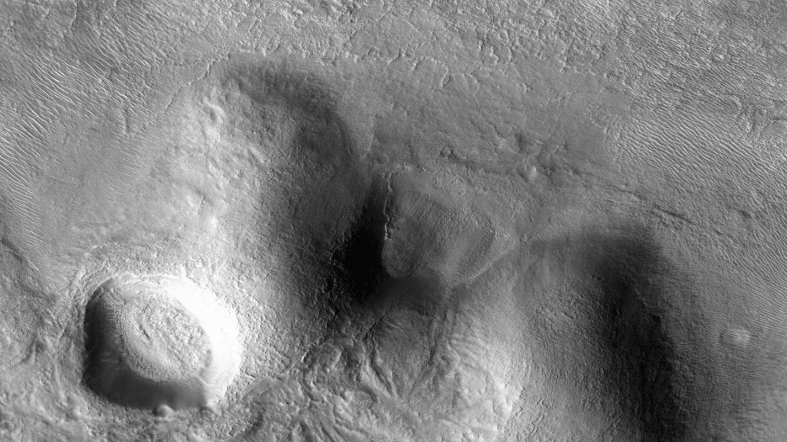
Below is an illustration I did and my interpretation of the average shape and geometry of these anomalies:
Weird Pyramid-Like Structures found on Mars? – Illustration
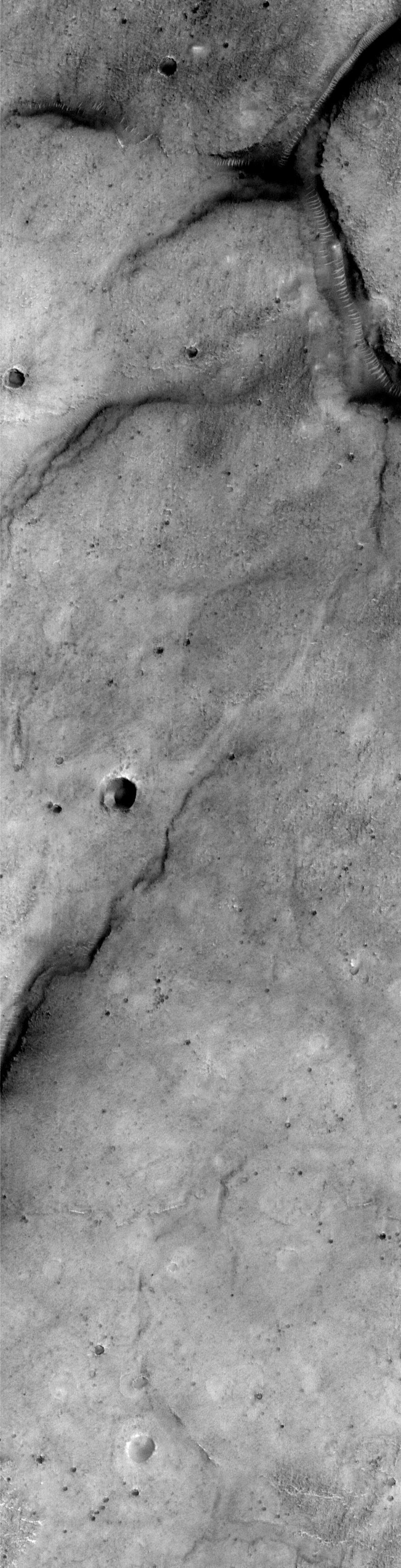
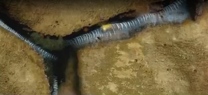
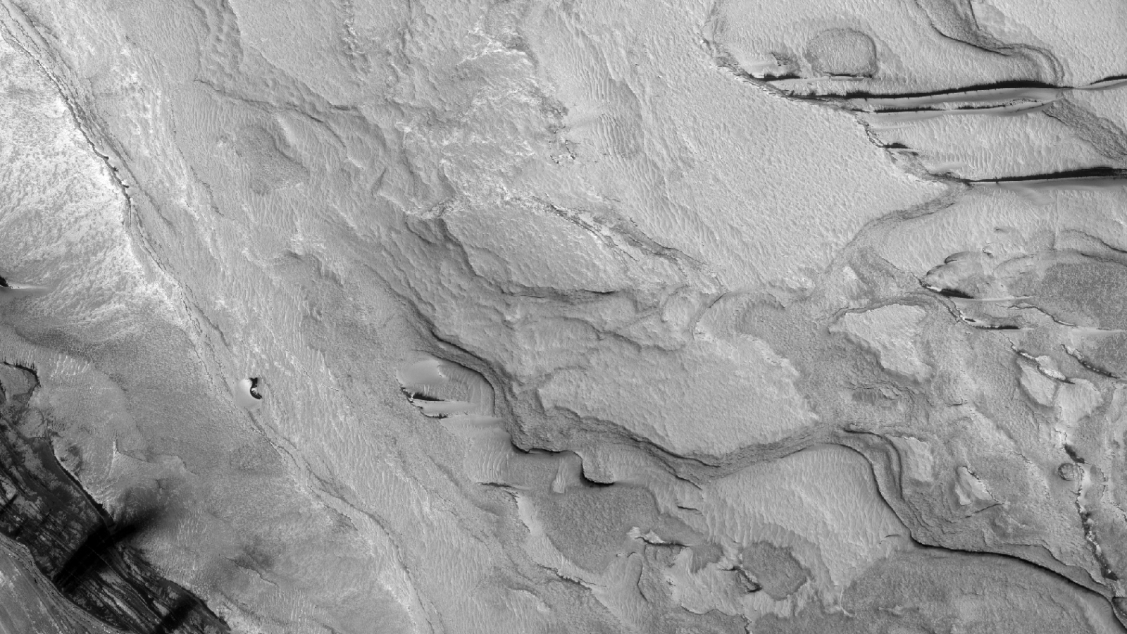
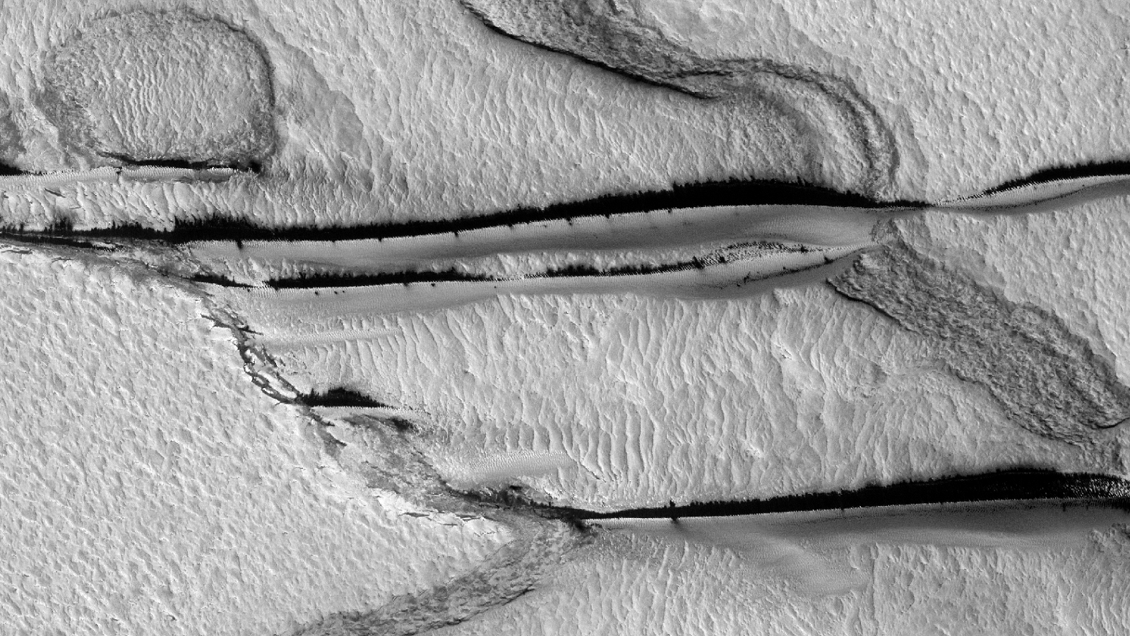
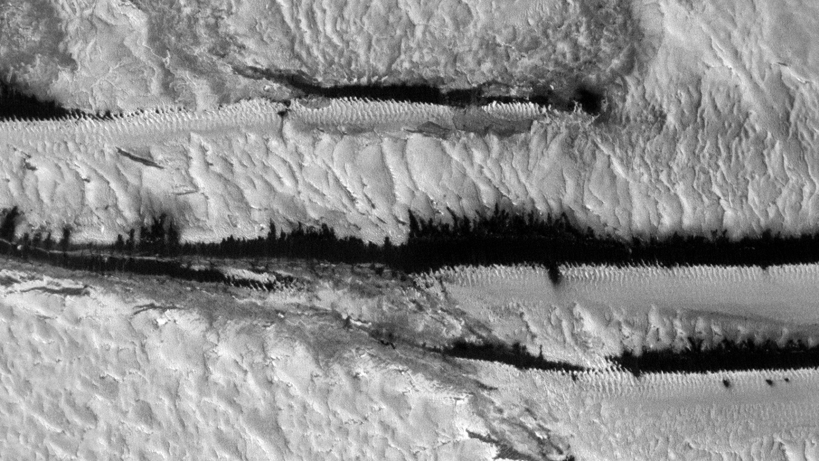
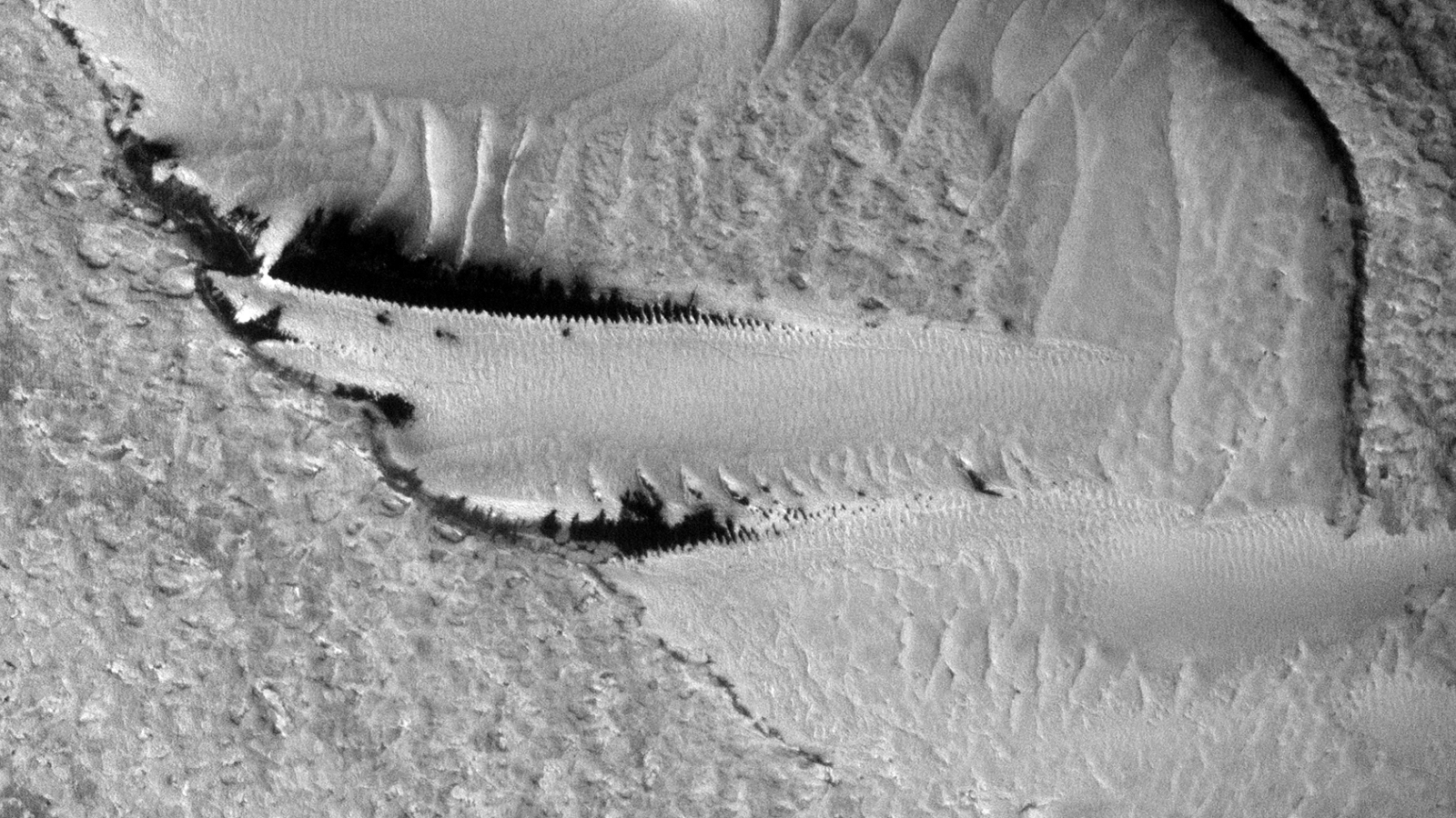
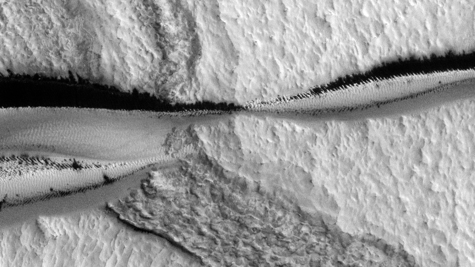
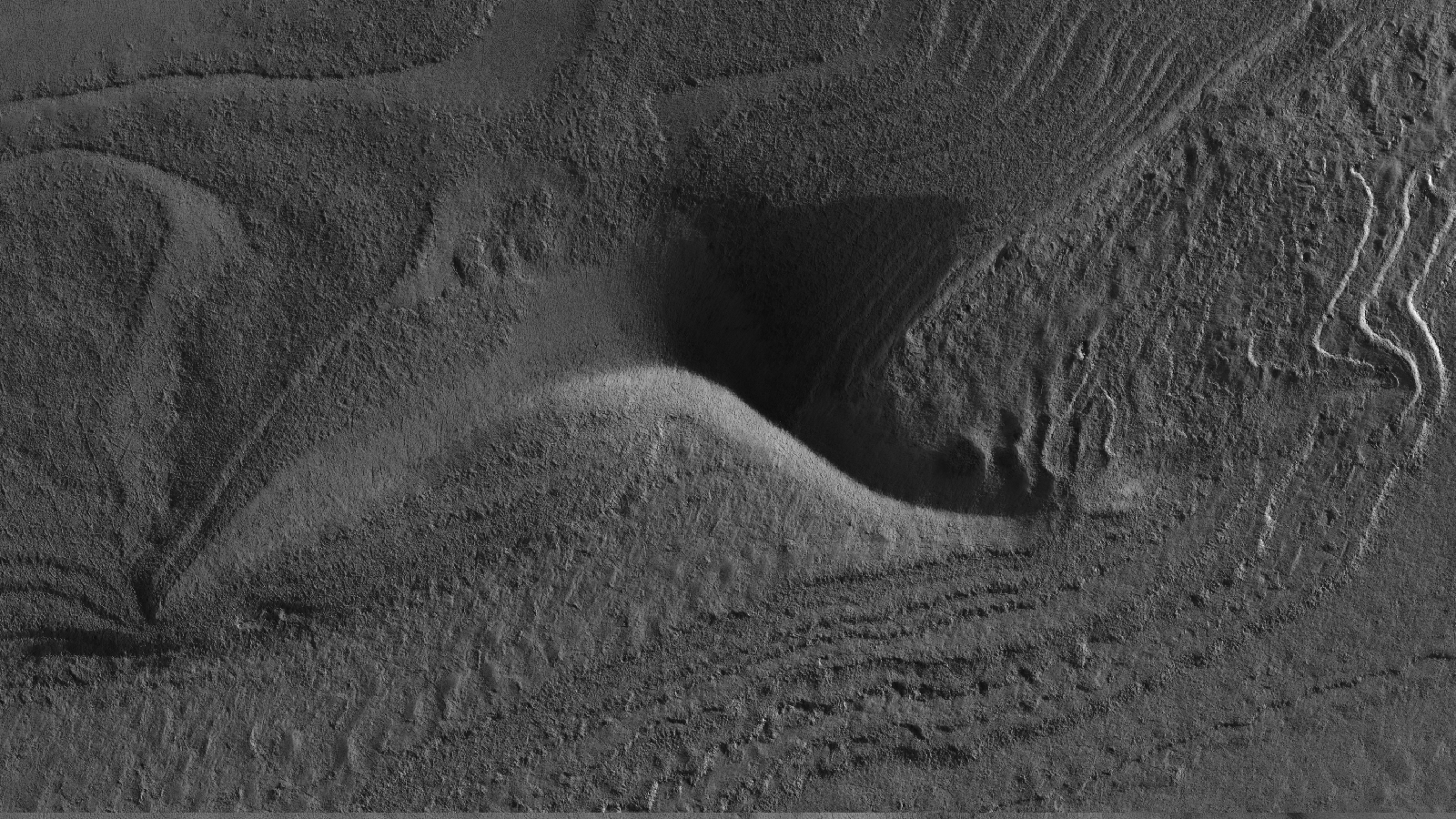
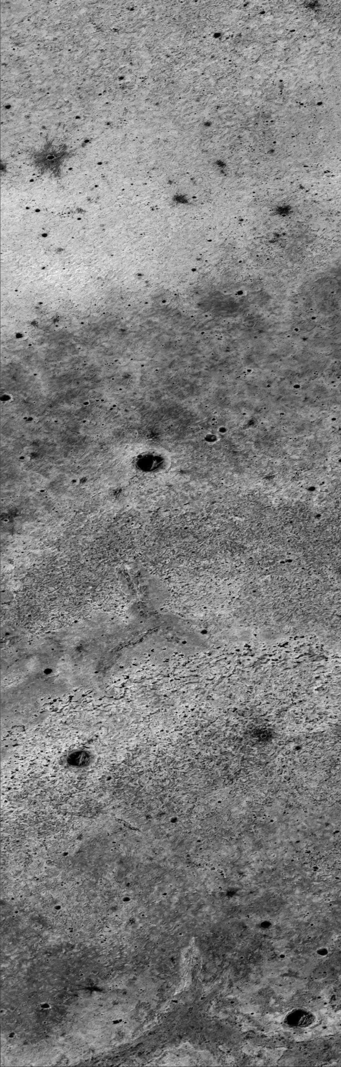
This photograph (ESP_017362_2650) was taken by NASA’s Mars Reconnaissance Orbiter (MRO) HiRISE Camera on 10 April 2010.
NASA describes this photograph as “Test Geographic Extent of Frost-Dust Avalanches on North Polar Scarps.”
I discovered long, parallel geological features which look anomalous due to their structure and geometry. They run parallel to each other and are almost perfectly straight with equally spaced “ribbing.” Could they be artificial, perhaps used to support pipes or the like?
Strange Parallel Lines found on Mars (click for larger image)Strange Parallel Lines found on Mars – I (click for larger image)Strange Parallel Lines found on Mars – II (click for larger image)Strange Parallel Lines found on Mars – III (click for larger image)Strange Parallel Lines found on Mars – IV (click for larger image)Strange Parallel Lines found on Mars – V (click for larger image)
There’s also what appears to look like some kind of mining operations, e.g. open-pit quarry mines:
Strange Parallel Lines found on Mars – I (click for larger image)Strange Parallel Lines found on Mars – II (click for larger image)
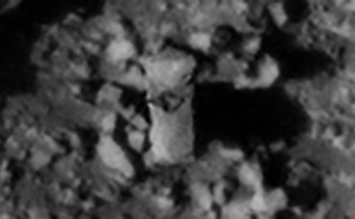
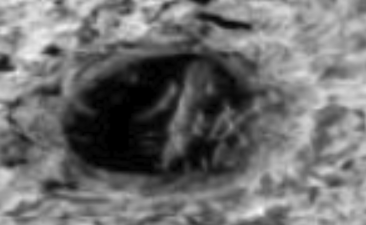
This photograph (PSP_007527_2135) was taken by NASA’s Mars Reconnaissance Orbiter (MRO) HiRISE Camera on 04 March 2008.
NASA describes this photograph as “Dike and Cave Up-Slope of Hrad Vallis.”
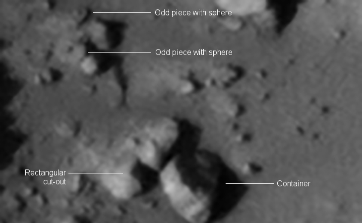
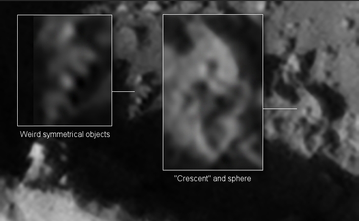
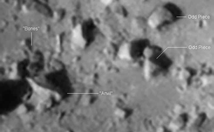
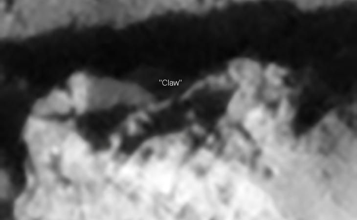
I checked out the photograph and found an anomaly filled crater (based on pure speculation) to the left of the cave. Standing out, literally, is what looks like a giant three-sided megalith (approximately 10 m high and 4.5 m wide). There is what appears to be a symbol cut into the side facing the camera.
Giant Standing Megalith found on Mars? – Cave (click for larger image)Giant Standing Megalith found on Mars? – Crater (click for larger image)Giant Standing Megalith found on Mars? – Giant Megalith
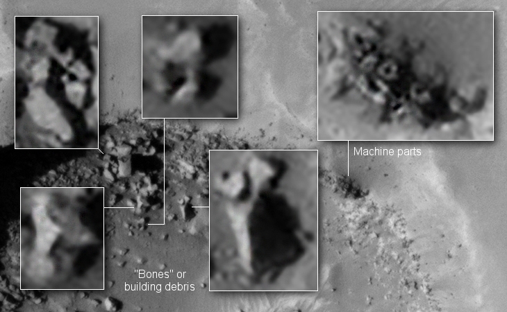
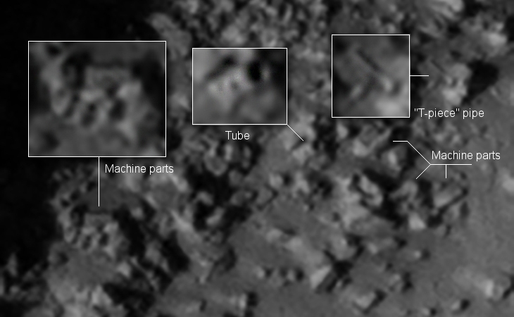
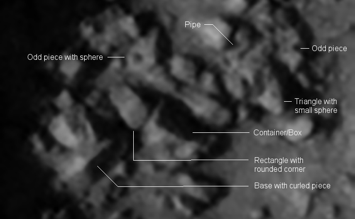
Scattered around the megalith are what look like parts of a destroyed ruin or statue, even possibly machinery. There are what looks like pipes, bent sheet metal, rectangular blocks, boxes and even what looks like a giant claw.
Giant Standing Megalith found on Mars? – IGiant Standing Megalith found on Mars? – IIGiant Standing Megalith found on Mars? – IIIGiant Standing Megalith found on Mars? – IVGiant Standing Megalith found on Mars? – VGiant Standing Megalith found on Mars? – VIGiant Standing Megalith found on Mars? – VII
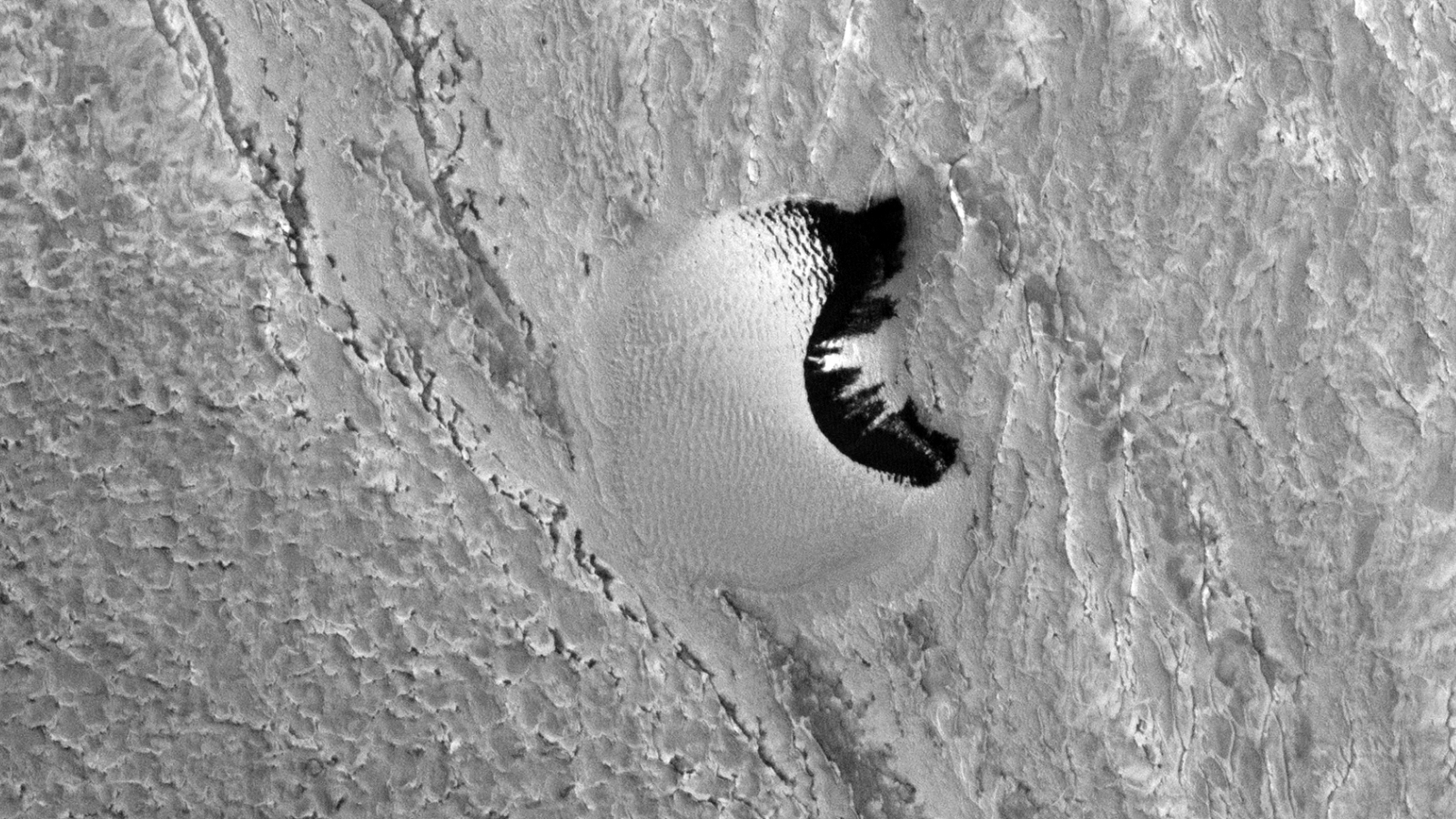
This photograph (PSP_006857_2005) was taken by NASA’s Mars Reconnaissance Orbiter (MRO) HiRISE Camera on 12 January 2008.
NASA describes this photograph as “Eastern Nili Fossae.”
I discovered what looks like an artificial structure or object lying at the opening of a hole or crater on the Martian surface.
This anomaly looks totally out of place due to it’s straight, uniform shape.
Could this be a wall, object or structure on the Martian surface? (click for larger image)
UPDATE: A Big thank you to Todd, Administrator at WhatsUpInTheSky, who uploaded a RDR PDS version to GigaPan (zoom-in and check out the high level of detail in this photograph). Todd also pointed out other Martian surface anomalies well worth a second look, check it out here.
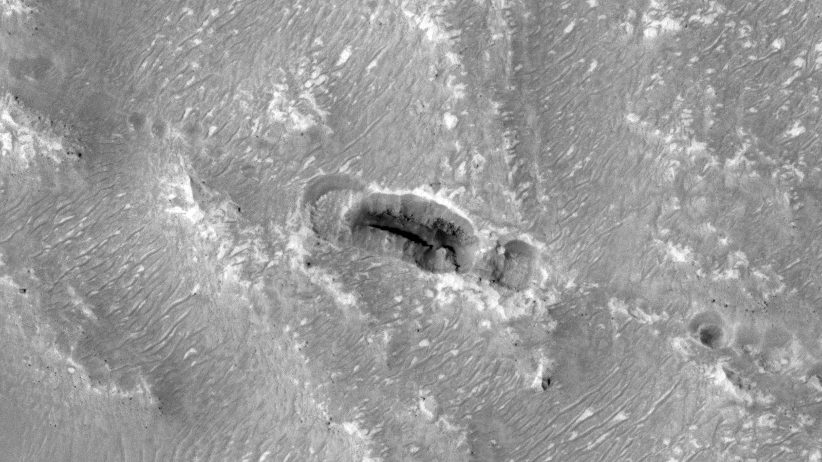
This photograph (PSP_006227_1810) was taken by NASA’s Mars Reconnaissance Orbiter (MRO) HiRISE Camera on 24 November 2007.
NASA describes this photograph as “Large Region of Layering in Meridiani Planum.” These anomalies, if not natural, appear to look like junk or debris.
Seen are what seem to be pipes of varying diameters twisted and bent around one-another then there are what look like roots running along the surface.
Is this more debris on Mars (click for larger image)Is this more debris on Mars (click for larger image)Is this more debris on Mars (click for larger image)Is this more debris on Mars? (click for larger image)
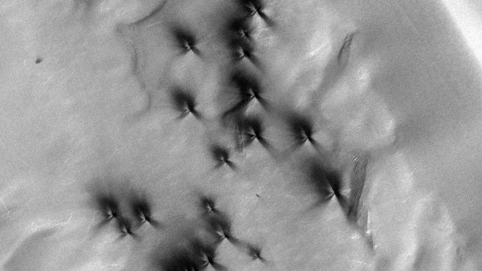
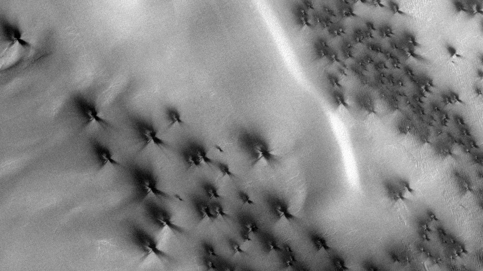
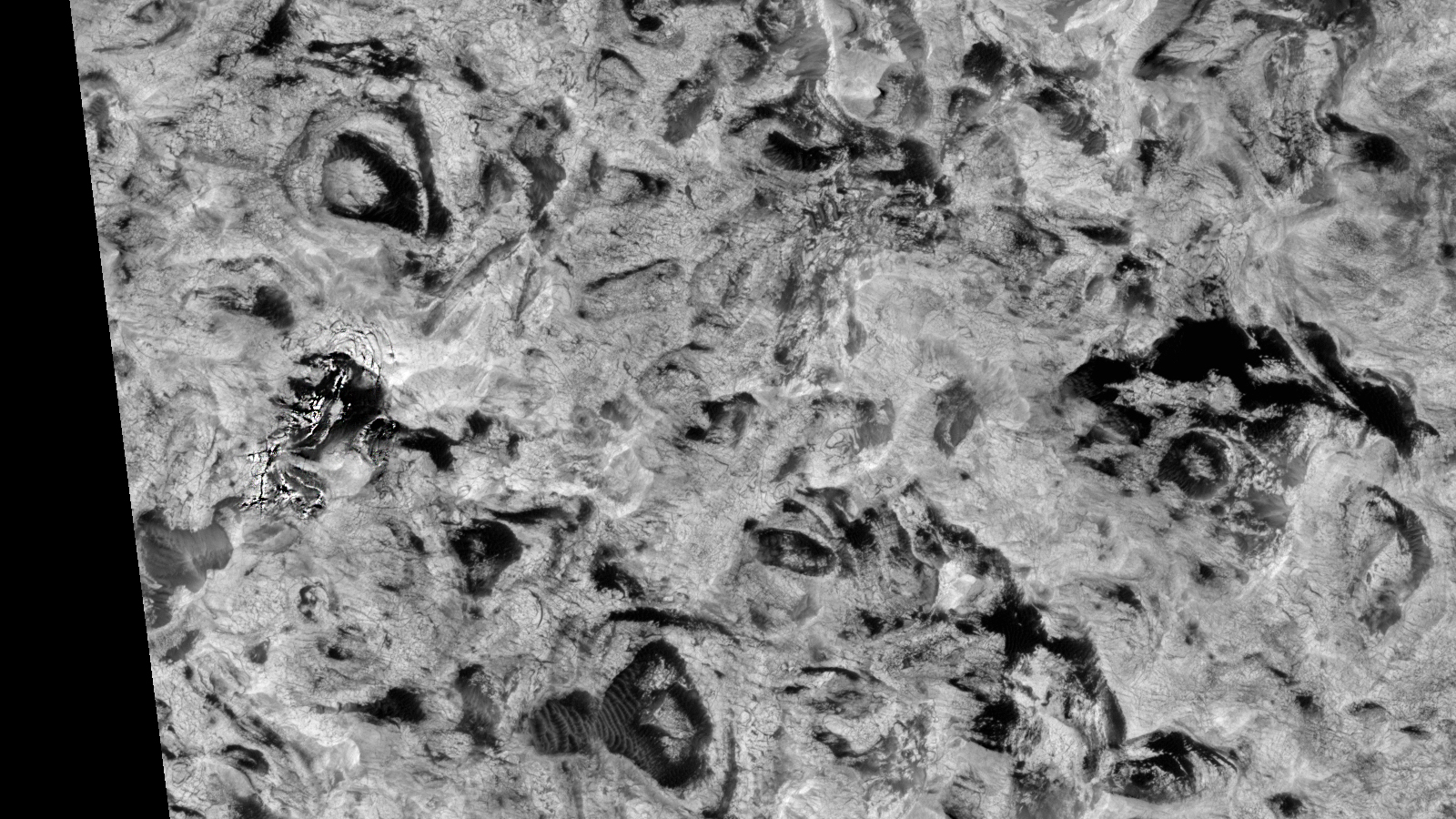
This photograph (PSP_006204_0985) was taken by NASA’s Mars Reconnaissance Orbiter (MRO) HiRISE Camera on 22 November 2007.
NASA describes this photograph as “Inca City – Monitoring of Evolution.”
These anomalies could be natural but they do look interesting none-the-less:
The terraces are clearly visible with a distinct, very narrow “S” feature.
The “X” or cross looks geometrical and has symmetry, 90 degree angles.
The “Spiders” are located to the right of the photograph.
There are several, narrow, oblong hills or features scattered across this terrain as well as another geometric, symmetrical feature to the far right.
NASA calls this an ‘Inca City’ on Mars: Terraces (click for larger image)NASA calls this an ‘Inca City’ on Mars: ‘Cross’ (click for larger image)NASA calls this an ‘Inca City’ on Mars: ‘Spiders’ (click for larger image)
Interesting name NASA chose to describe this HiRISE photo, could these anomalies be natural geological formations or was some intelligence involved with these?
Subscribe to my YouTube channel and turn on notifications to be notified when new videos are uploaded.
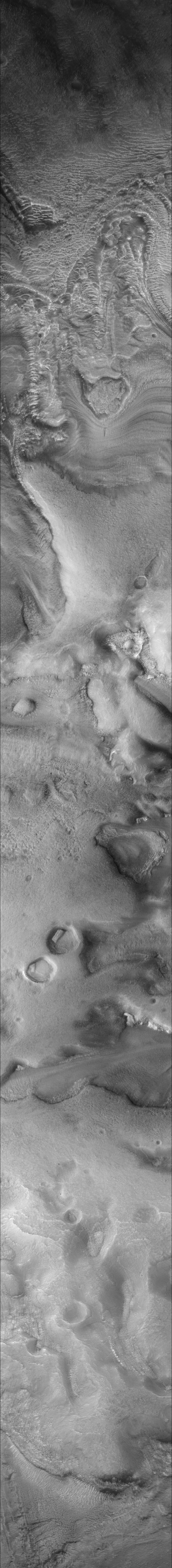
This photograph (F05_037568_2176_XN_37N301W) was taken by NASA’s Mars Reconnaissance Orbiter (MRO) Context Camera (CTX) on 2014-08-01T20:25:36.956.
NASA describes this photograph as “Ride-along with HiRISE.”
I found what looks like two pieces of bent pipe or tubing on the Martian surface.
Upon closer analysis they look similar to vehicle exhaust pipes, I’m not saying that’s what these are, but they sure look alike.
They also don’t look anything like the mostly straight sedimentary lines “ribs” in the area and seem out of place, they even seem to be curved and cast shadows on the surface.
Bent Pipe or Tubing found on Mars – One (click for larger image)Bent Pipe or Tubing found on Mars – Two (click for larger image)
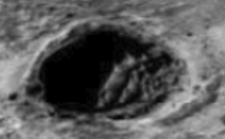
This photograph (R1802056) was taken by NASA’s Mars Global Surveyor (MGS) Mars Orbiter Camera (MOC) on 2004-06-26T06:55:47.77.
NASA describes this photograph as “Light-toned material in Meridiani Planum.”
I found what looks like construction/building material or junk inside several black holes/vents, perhaps even structures on the Martian surface.
Seen are pipes bent into loops, “U” and “N” shapes with plenty on parallel lines, geometry and symmetry.
Construction Material or Structures found on Mars (click for larger image)Construction Material or Structures found on MarsConstruction Material or Structures found on Mars
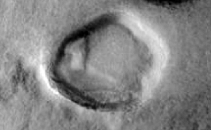
This photograph (S1801249) was taken by NASA’s Mars Global Surveyor (MGS) Mars Orbiter Camera (MOC) on 2006-05-16T14:29:18.02.
NASA describes this photograph as “Moreux Crater central peak.”
I initially found what looked like a megalithic shape cut into the side of a mound on the Martian surface. It looks rectangular with parallel lines, 90 degree angles and the shadow from two sides indicates depth.
However, after some analysis and feedback from my YouTube Channel viewer Dawn, we came to the conclusion that NASA rotated the photograph by 180 degrees.
Also, the preview image NASA provides for this photograph in Google Earth shows this anomaly looking like a megalith lying inside a crater, this image is correct.
Directly next to the megalithic block there seems to be two underground entrances, i.e. a round opening and a square opening. Some odd pieces of something are scattered around the two entrances.
Megalithic block or container/structure on Martian surface (click for larger image)Megalithic block or container/structure on Martian surface as shown on Google Earth
To the left there is another megalithic looking block with right angles and a 45 degree face.
Megalithic block with multiple sides on Martian surface
Dawn furthermore noticed another anomaly I overlooked in my initial analysis. Further up to the right there is another anomaly which looks like either an elaborate doorway or entrance to an underground base or habitat, mangled machine or a broken statue/s.
Elaborate doorway or entrance, mangled machine or megalithic statue pieces on Martian surface
Where these objects part of a larger monument or structure that was destroyed in a flood decades ago? Perhaps containers/structures and doorways or entrances to an underground base or habitat? They do not appear to have been formed by natural geological processes.
Subscribe to my YouTube channel and turn on notifications to be notified when new videos are uploaded.